






Königstour: BIKE light - Day 3 from Mühlbach to Maria Alm

Úroveň náročnosti: S2
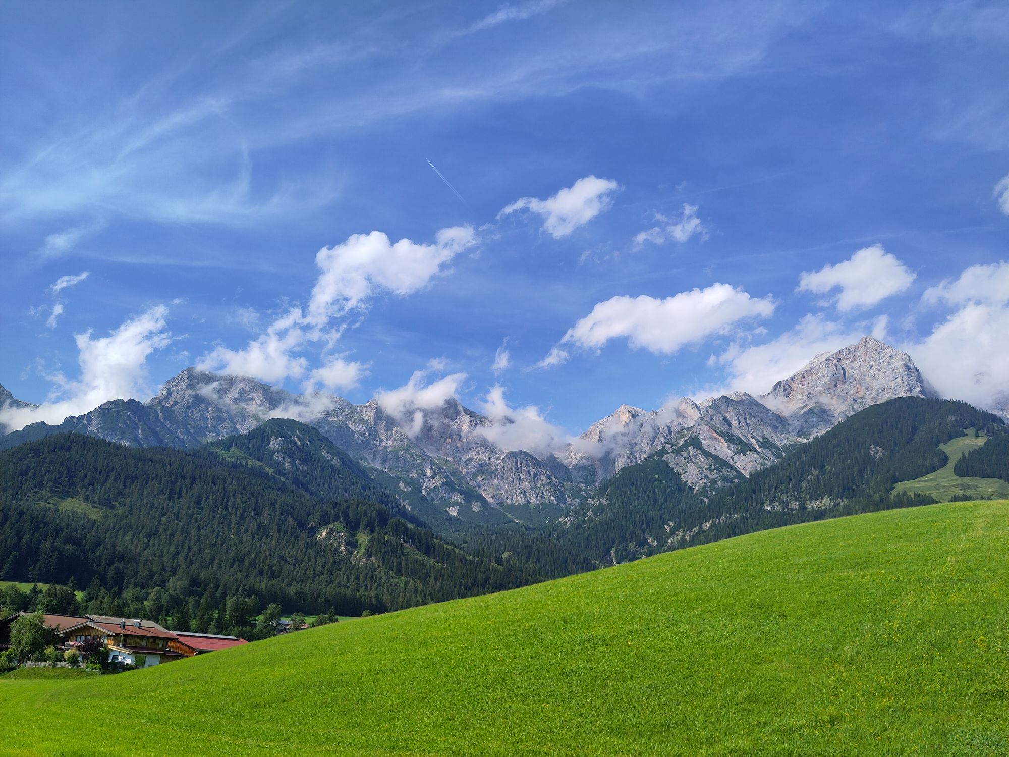
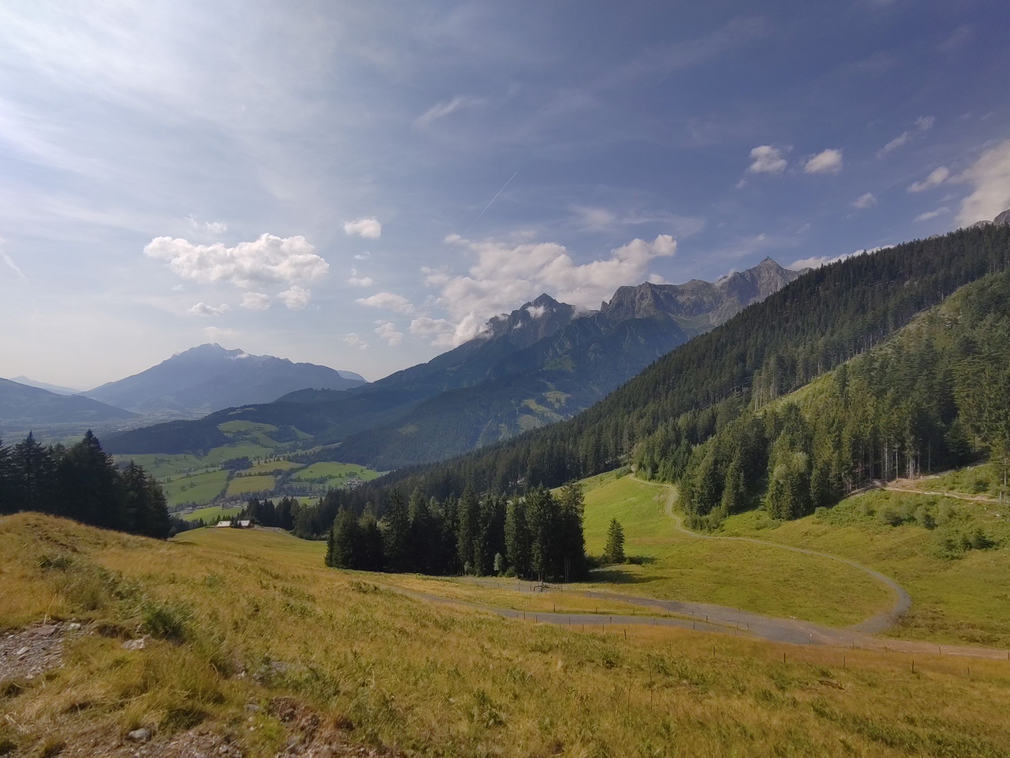
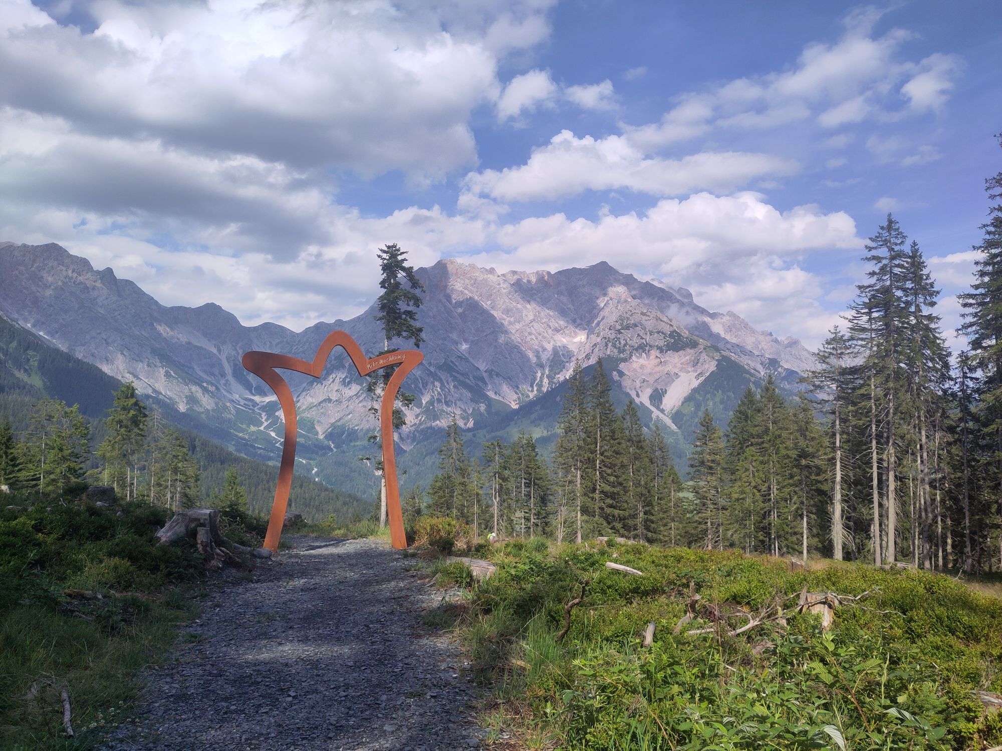
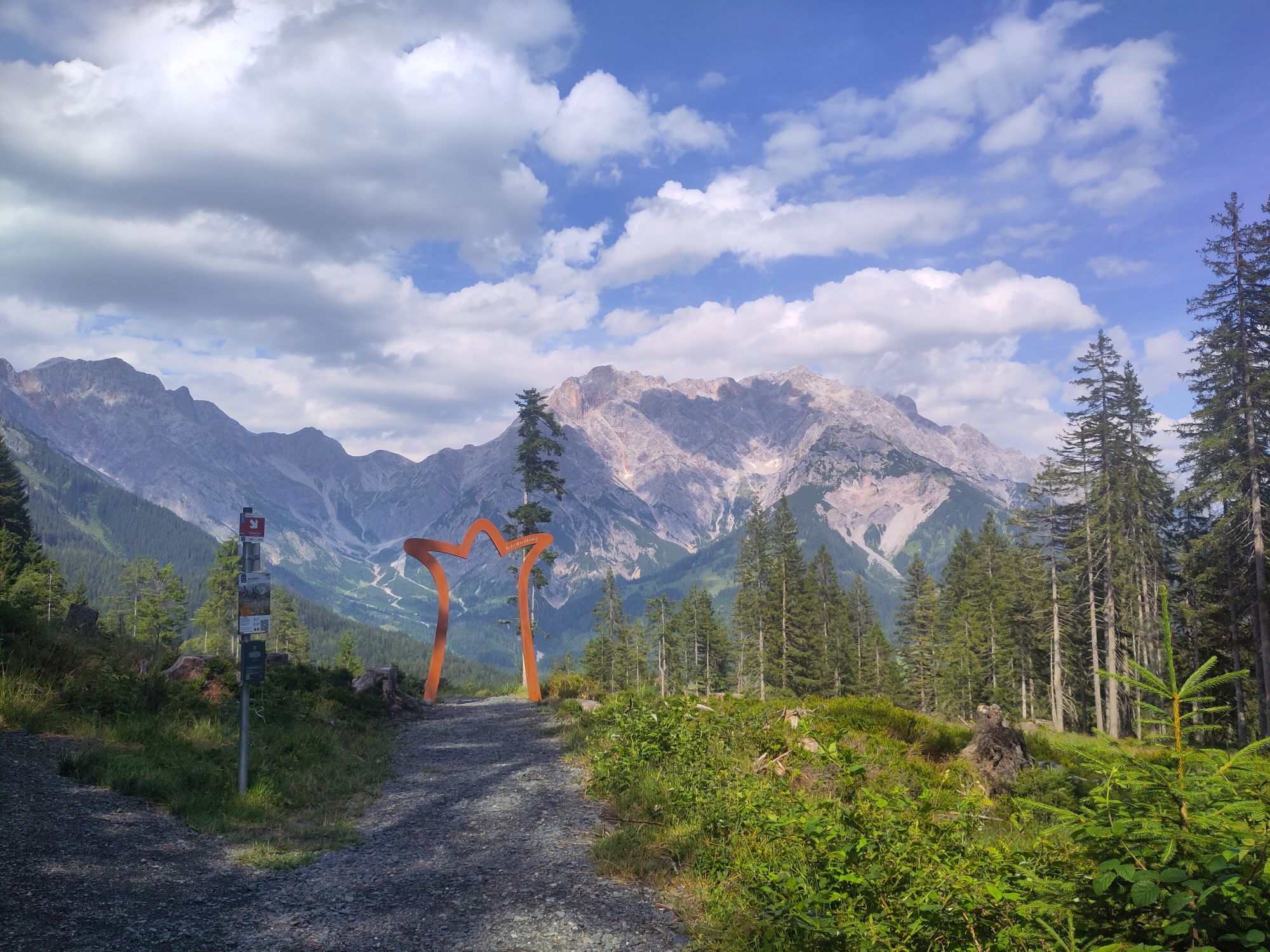
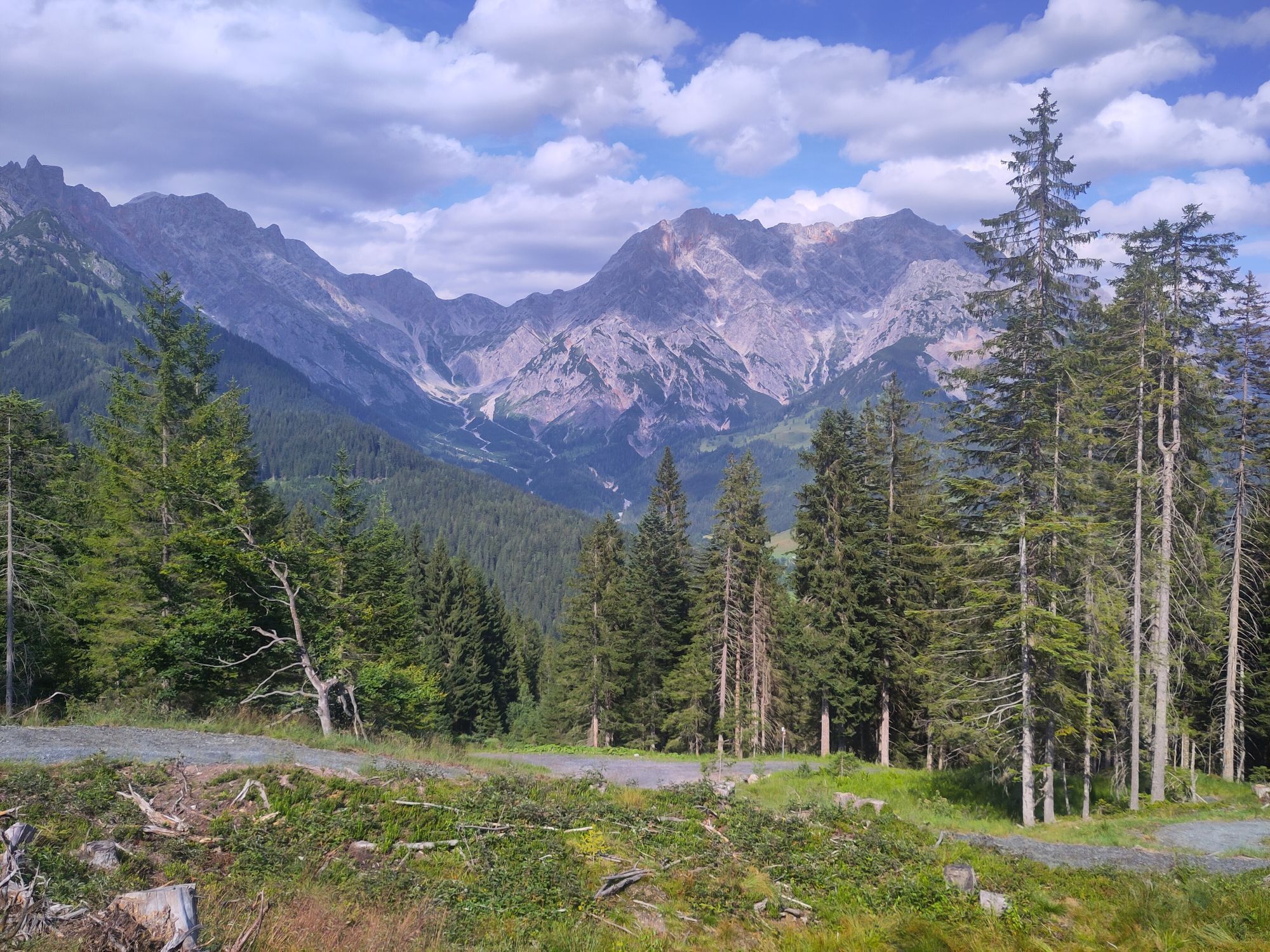
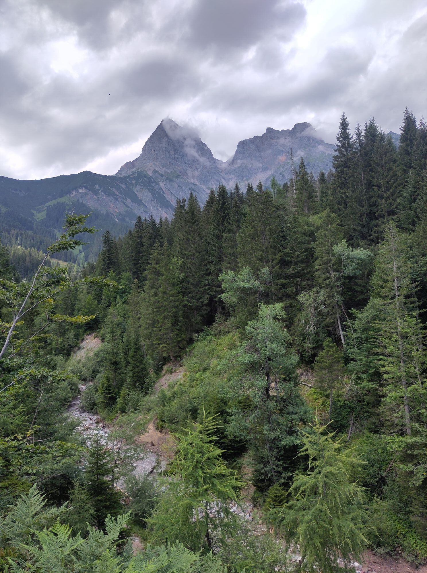
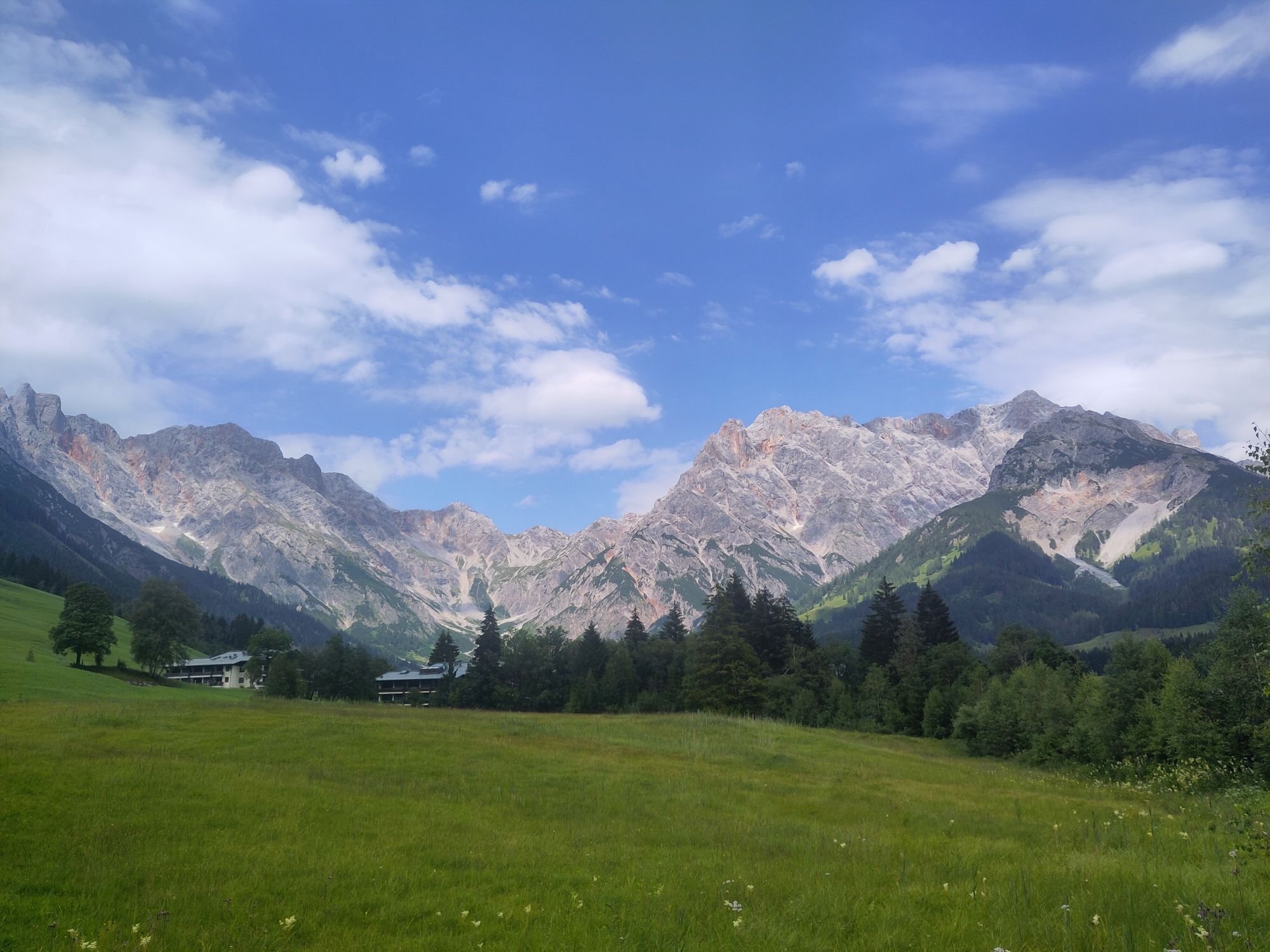
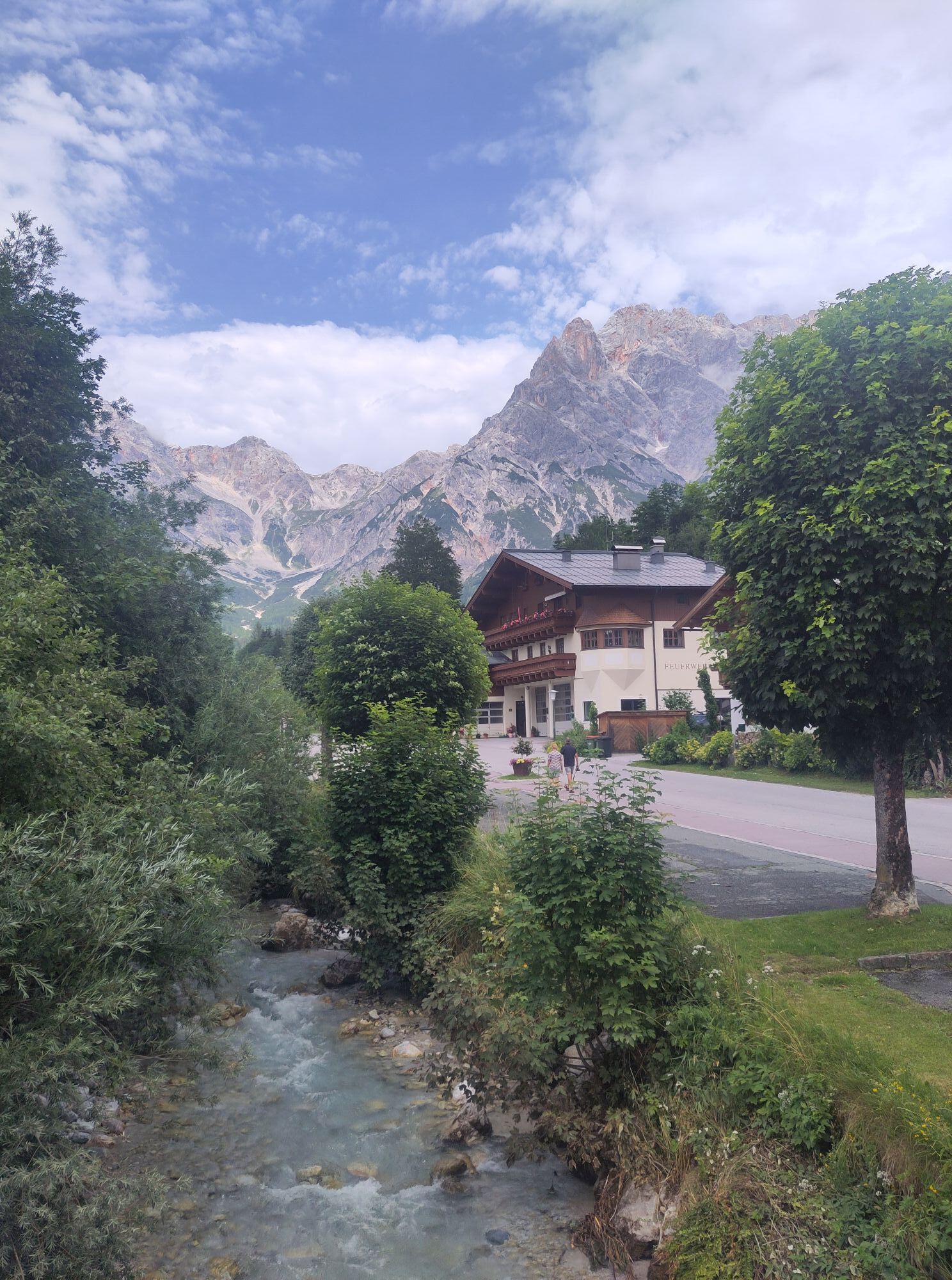
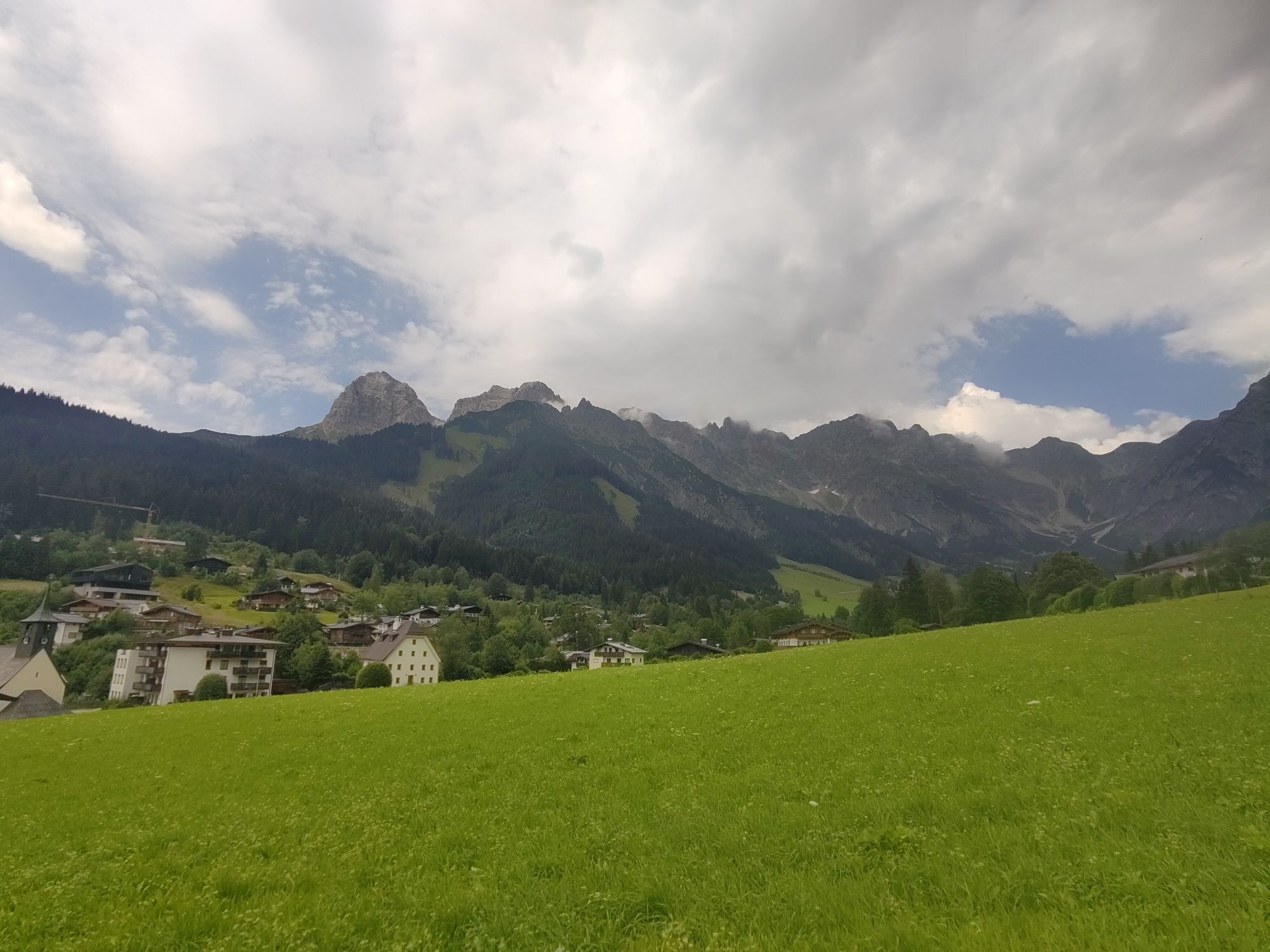
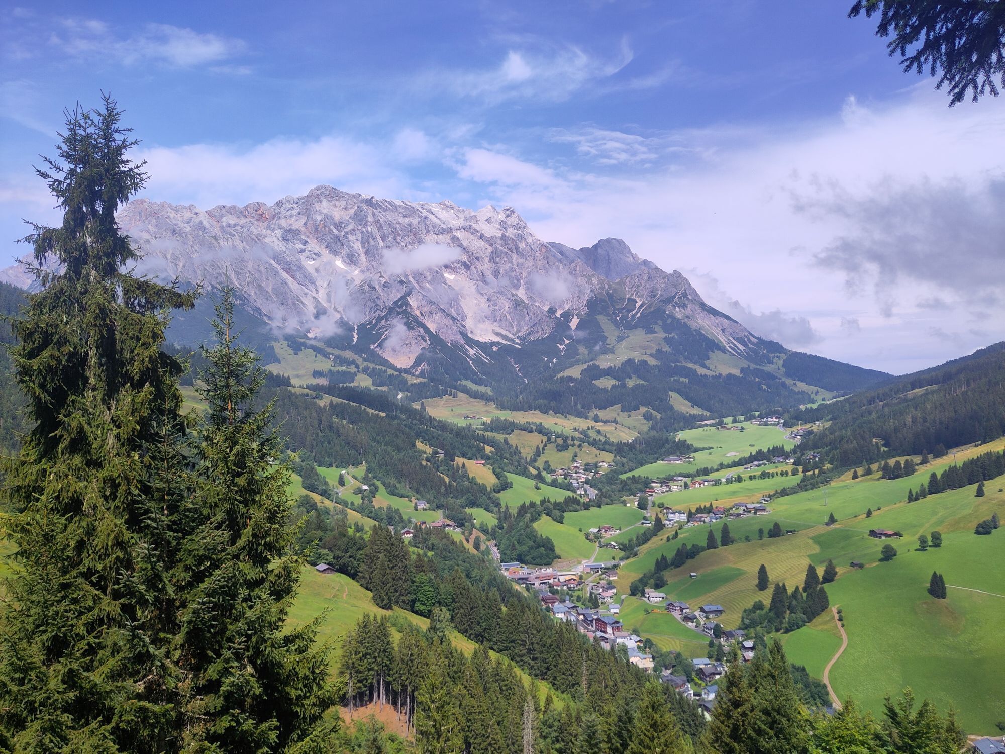
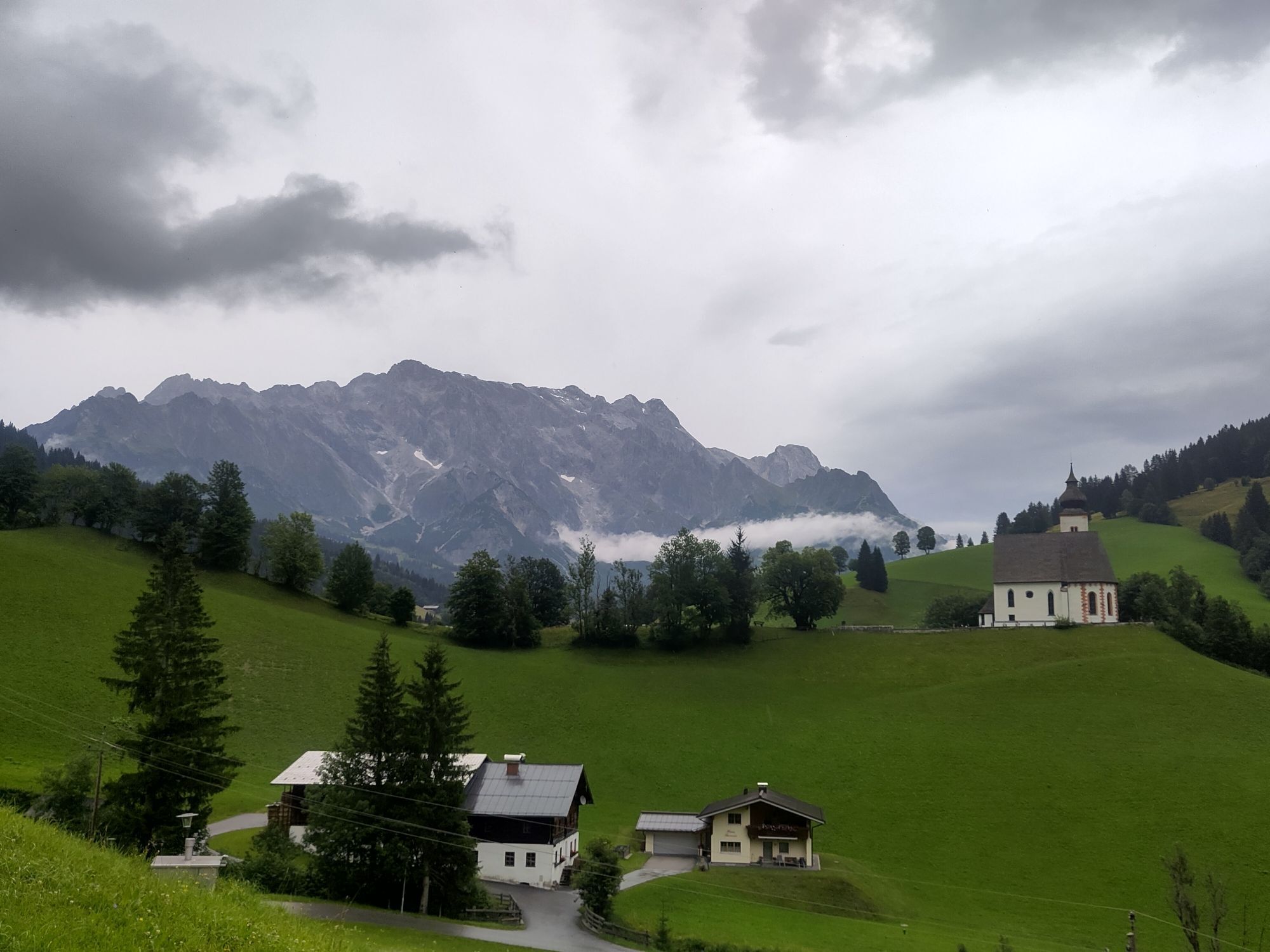
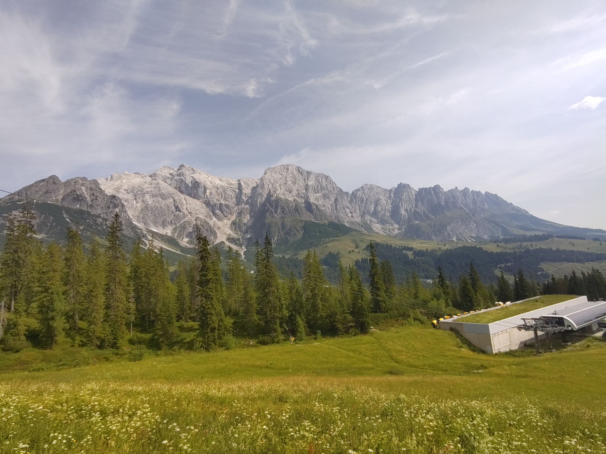
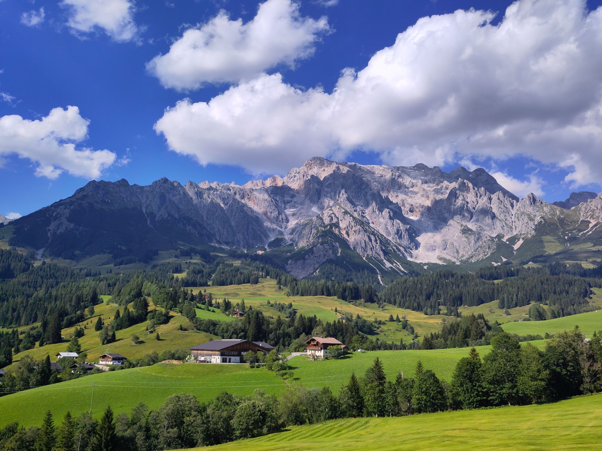
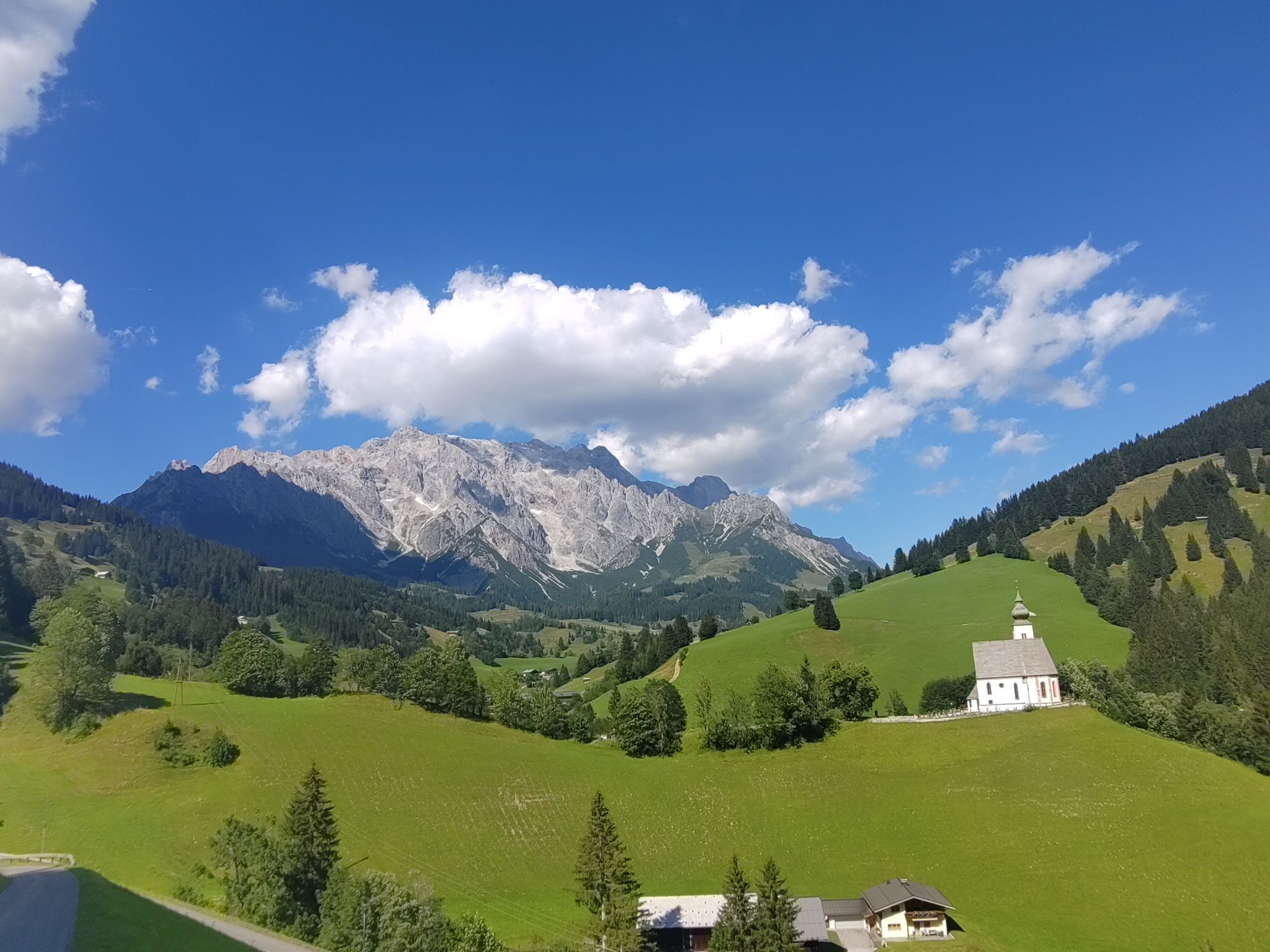
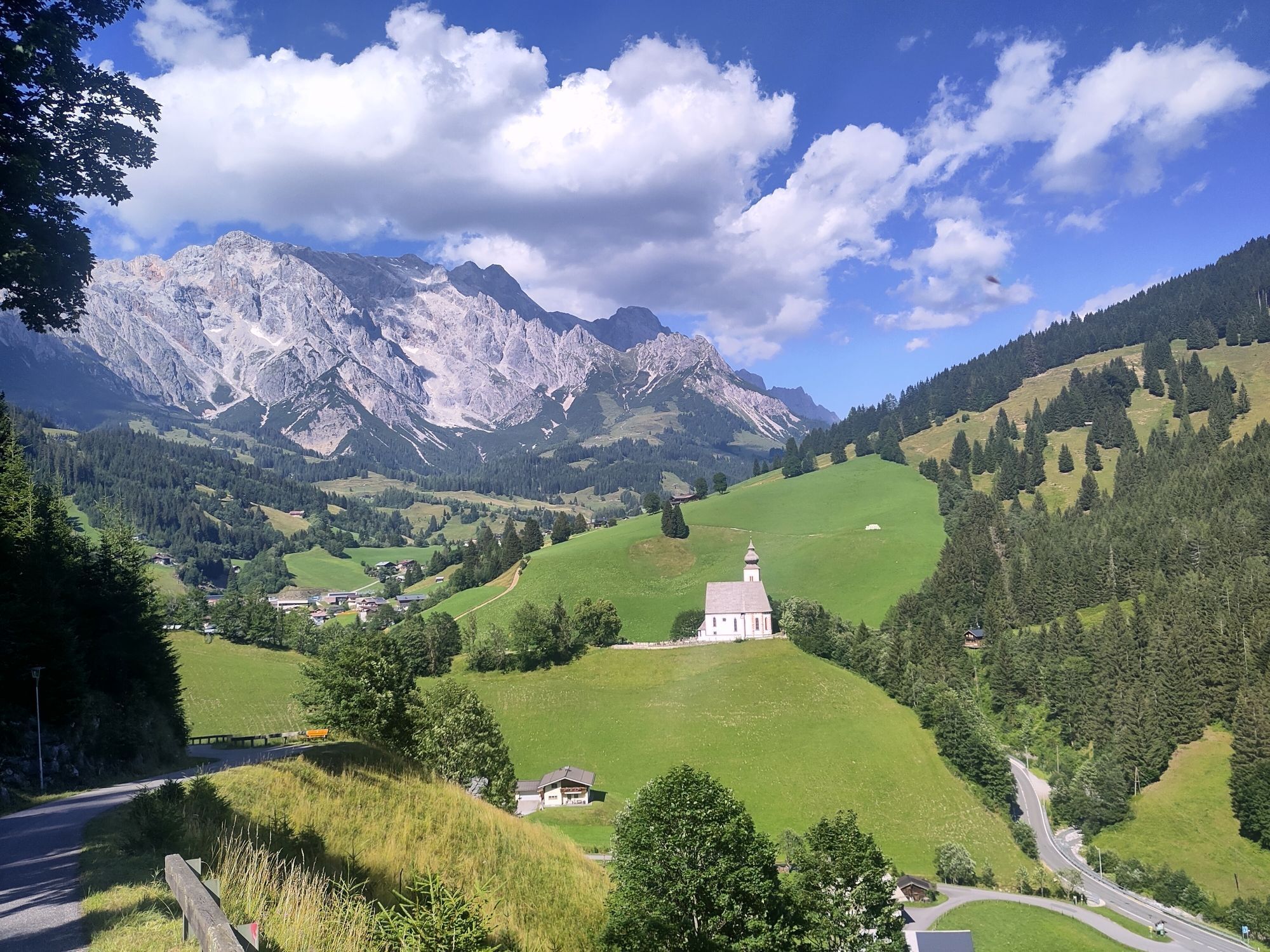
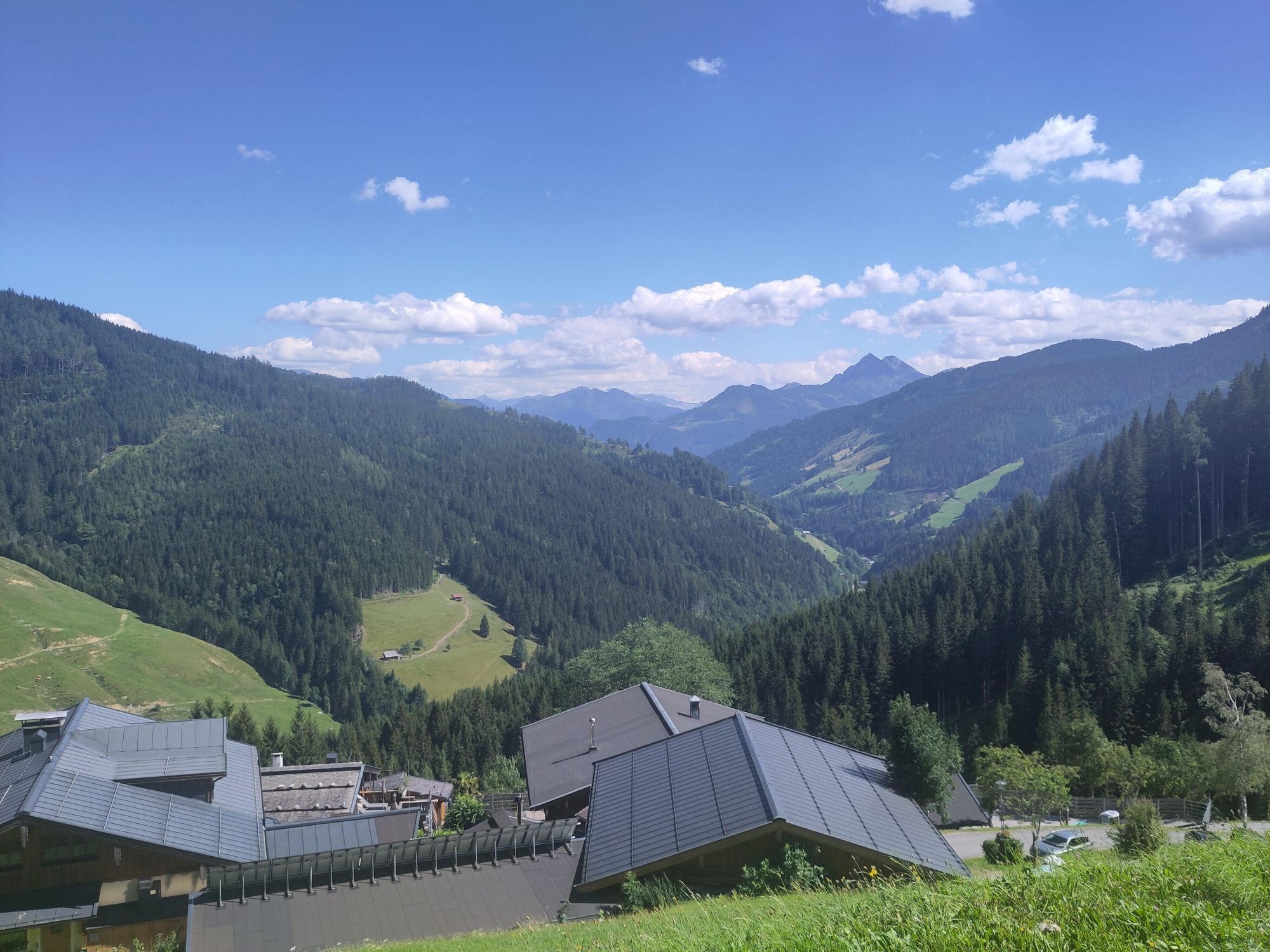
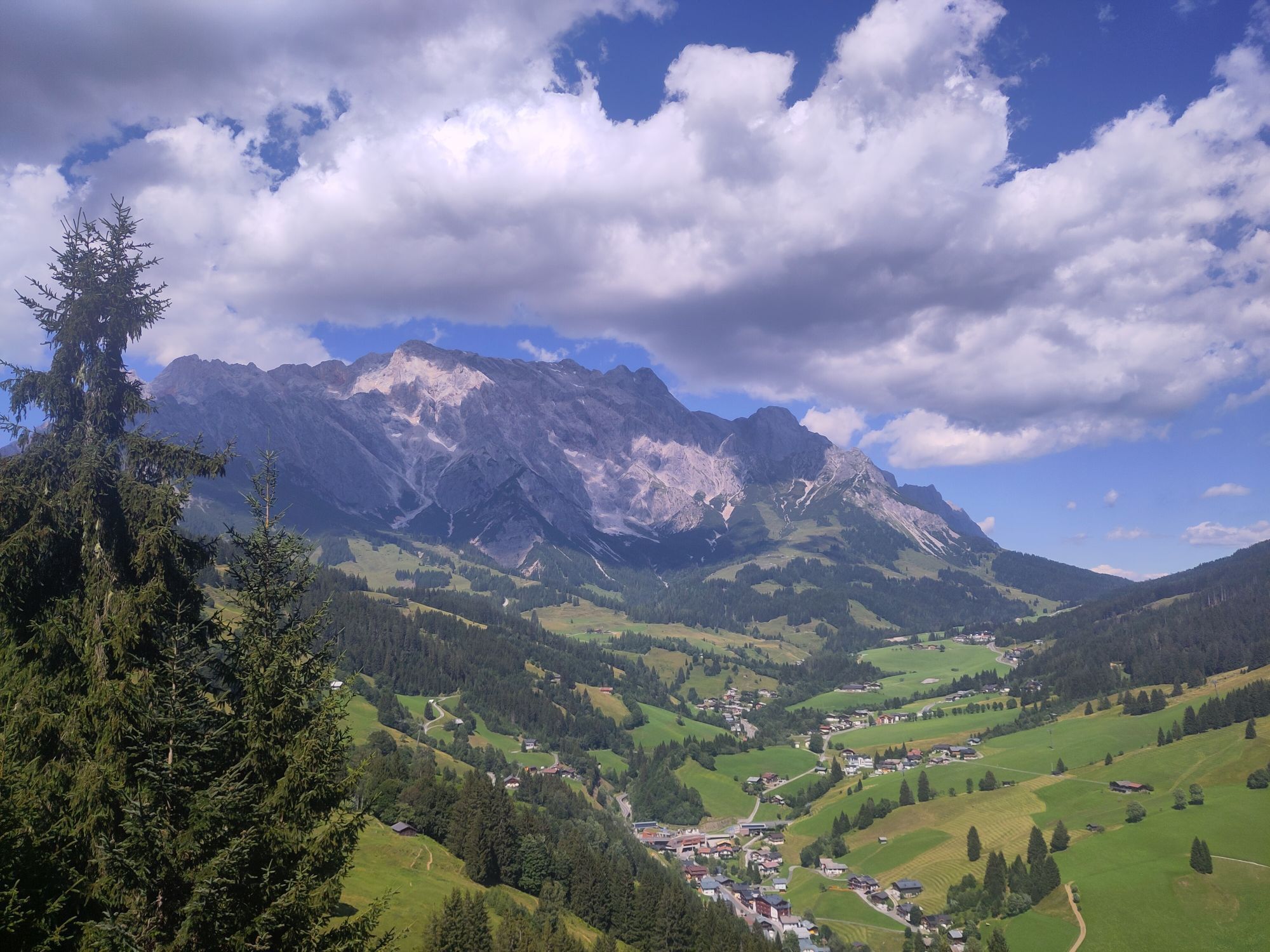
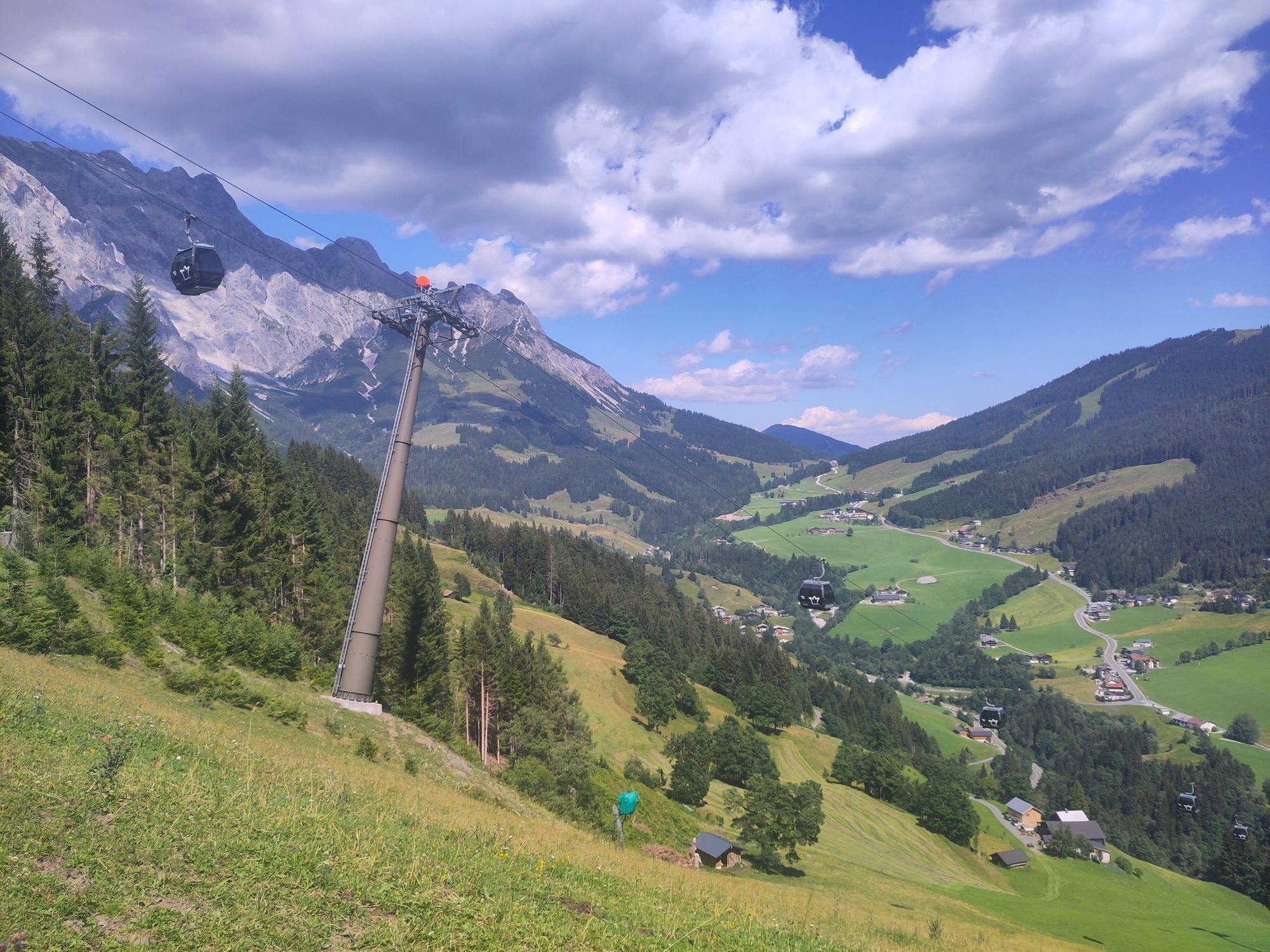
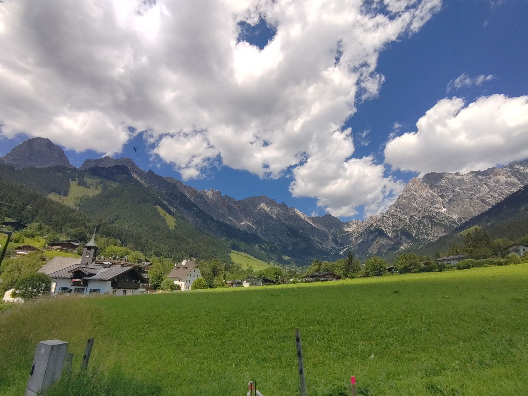
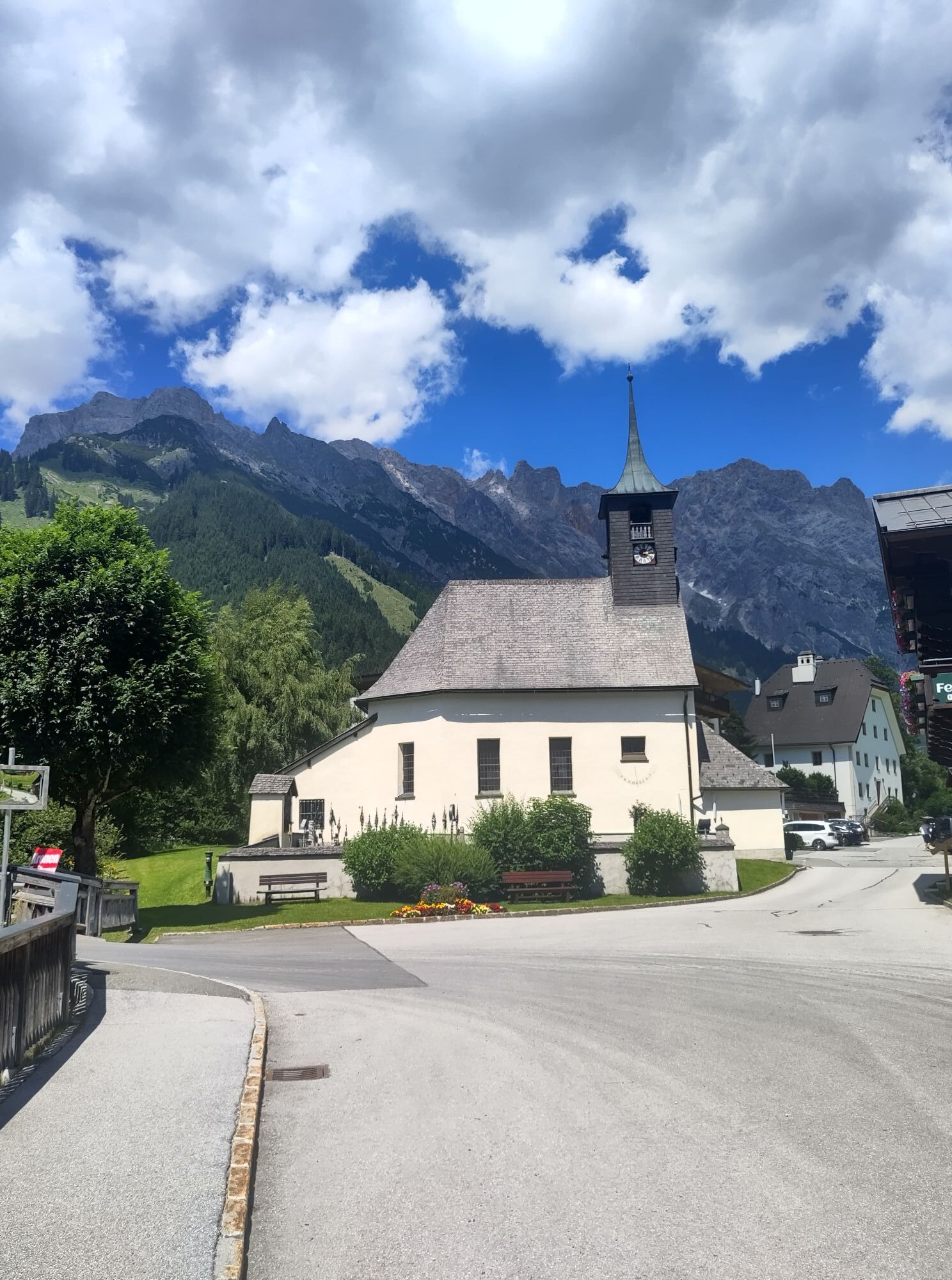
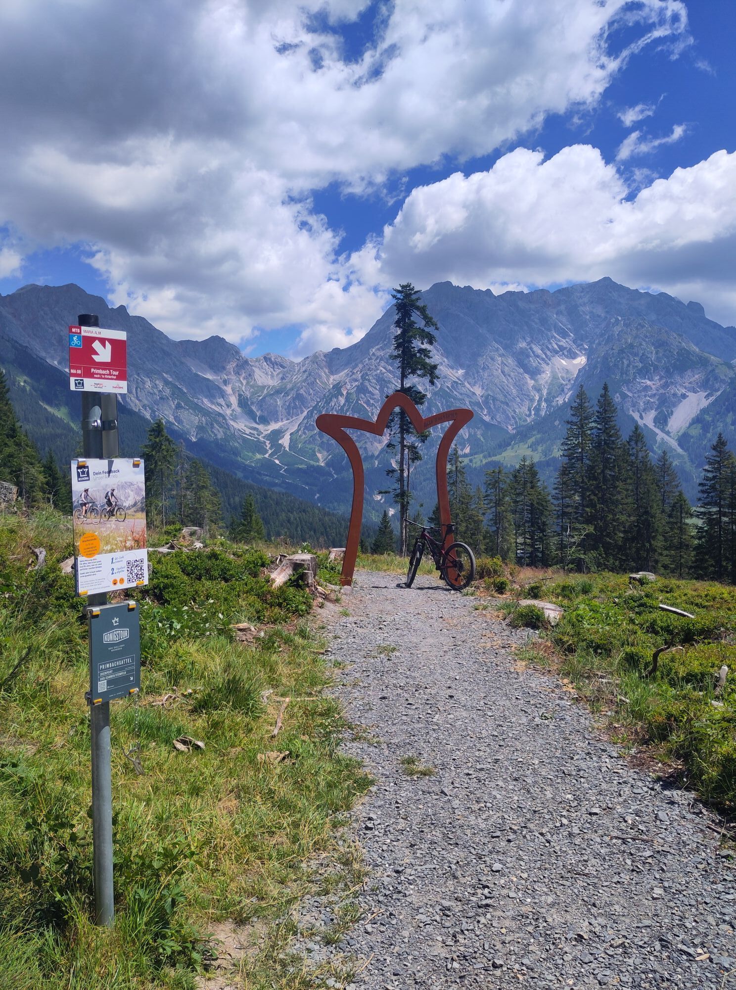
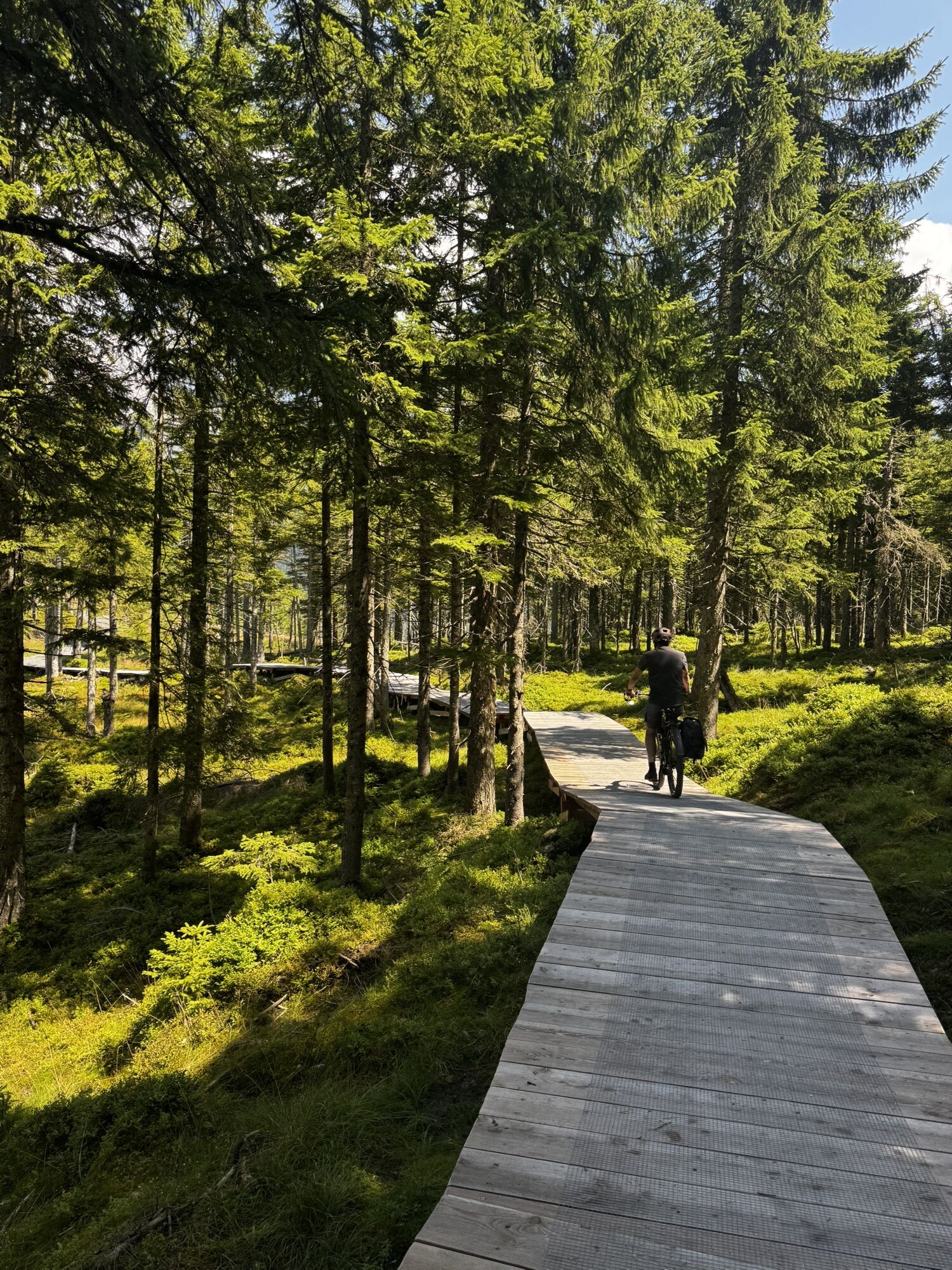

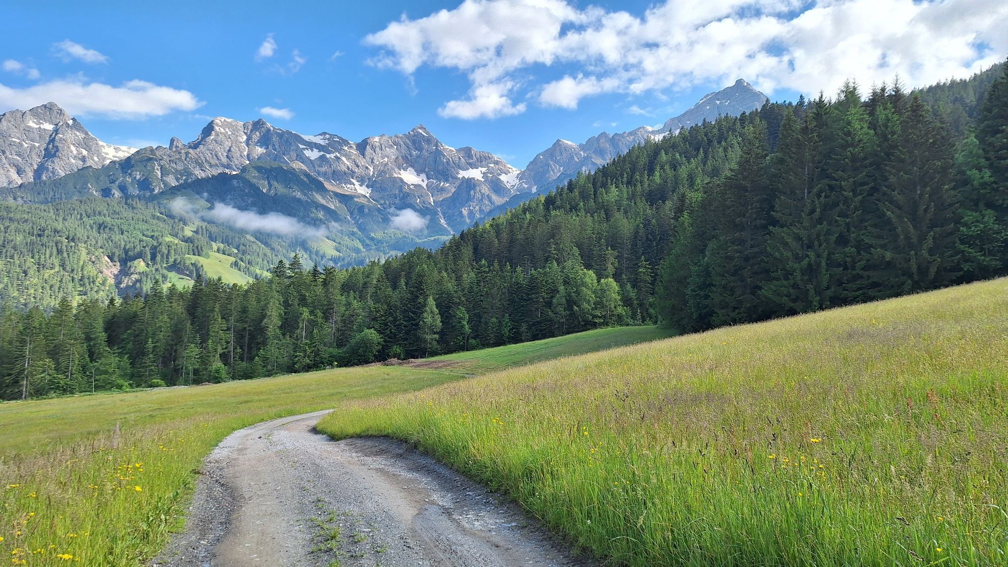
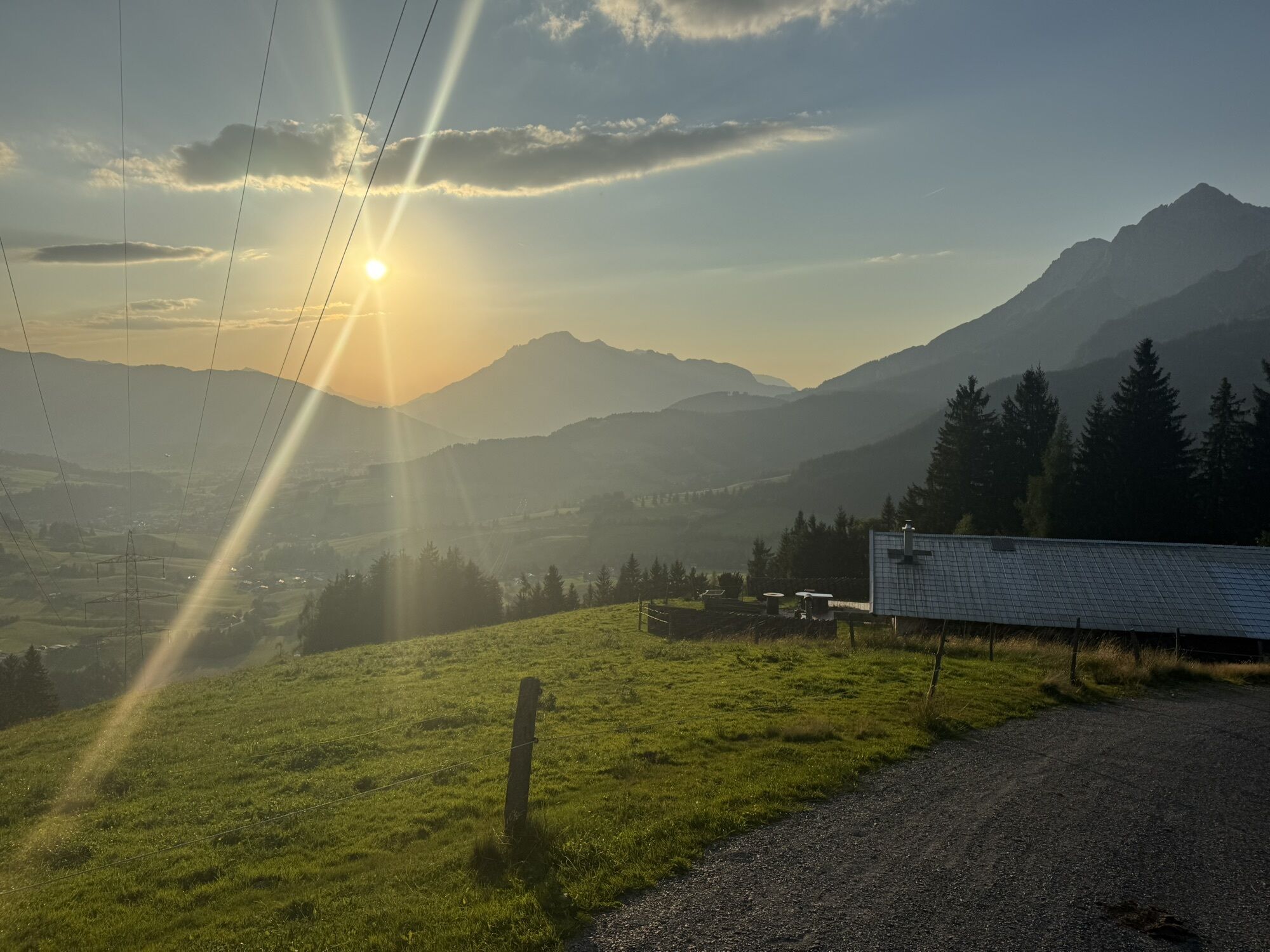
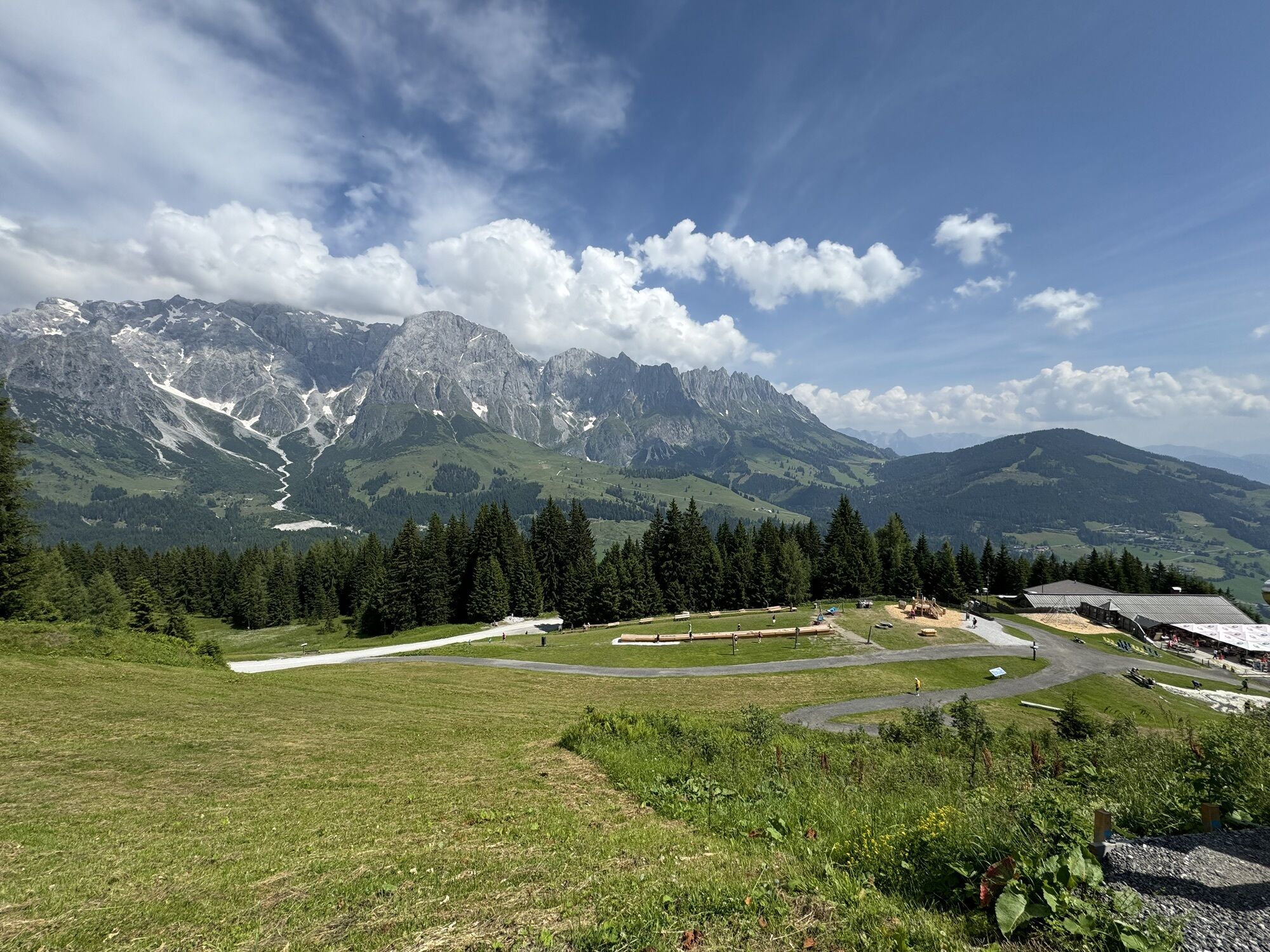
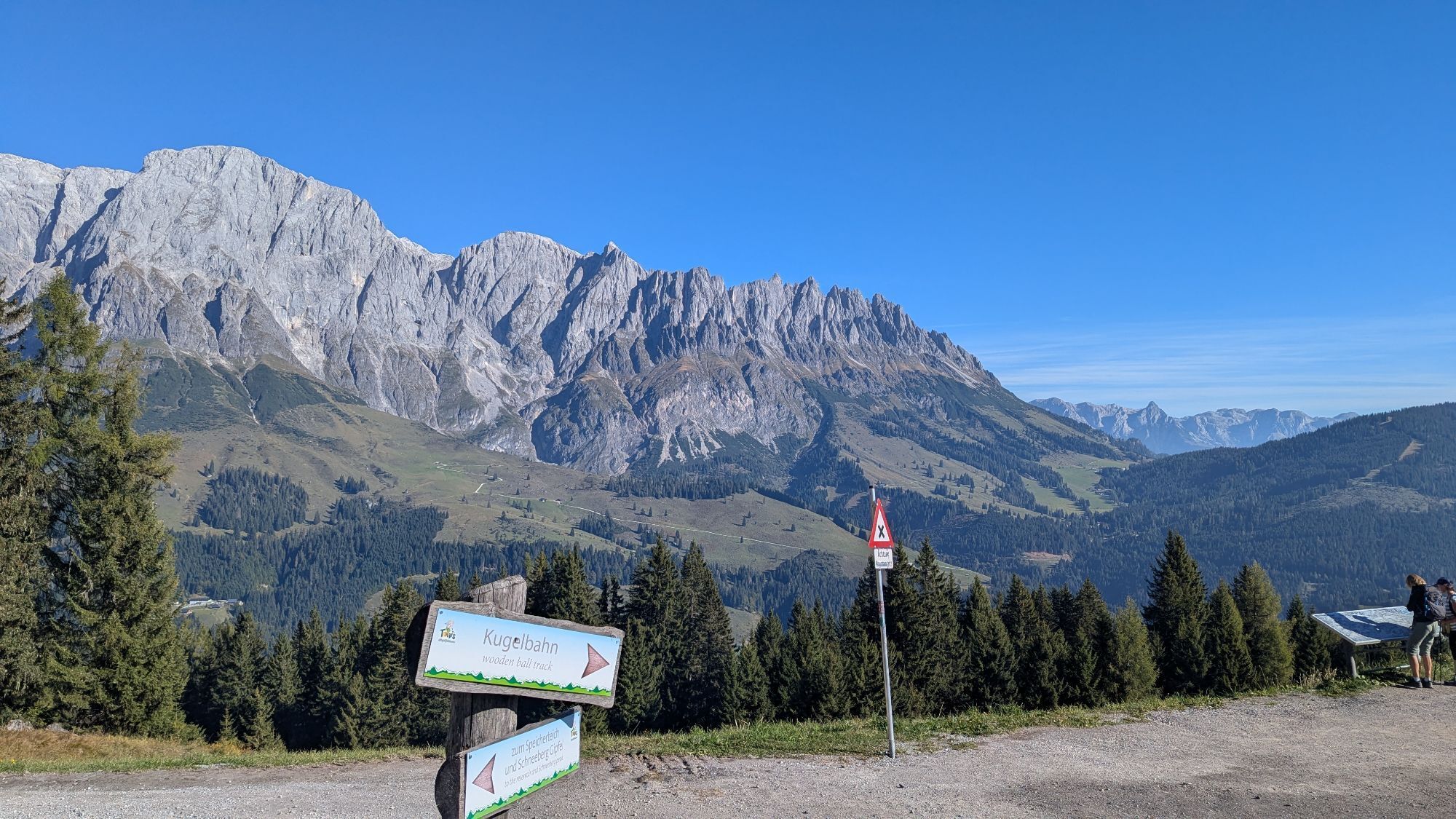
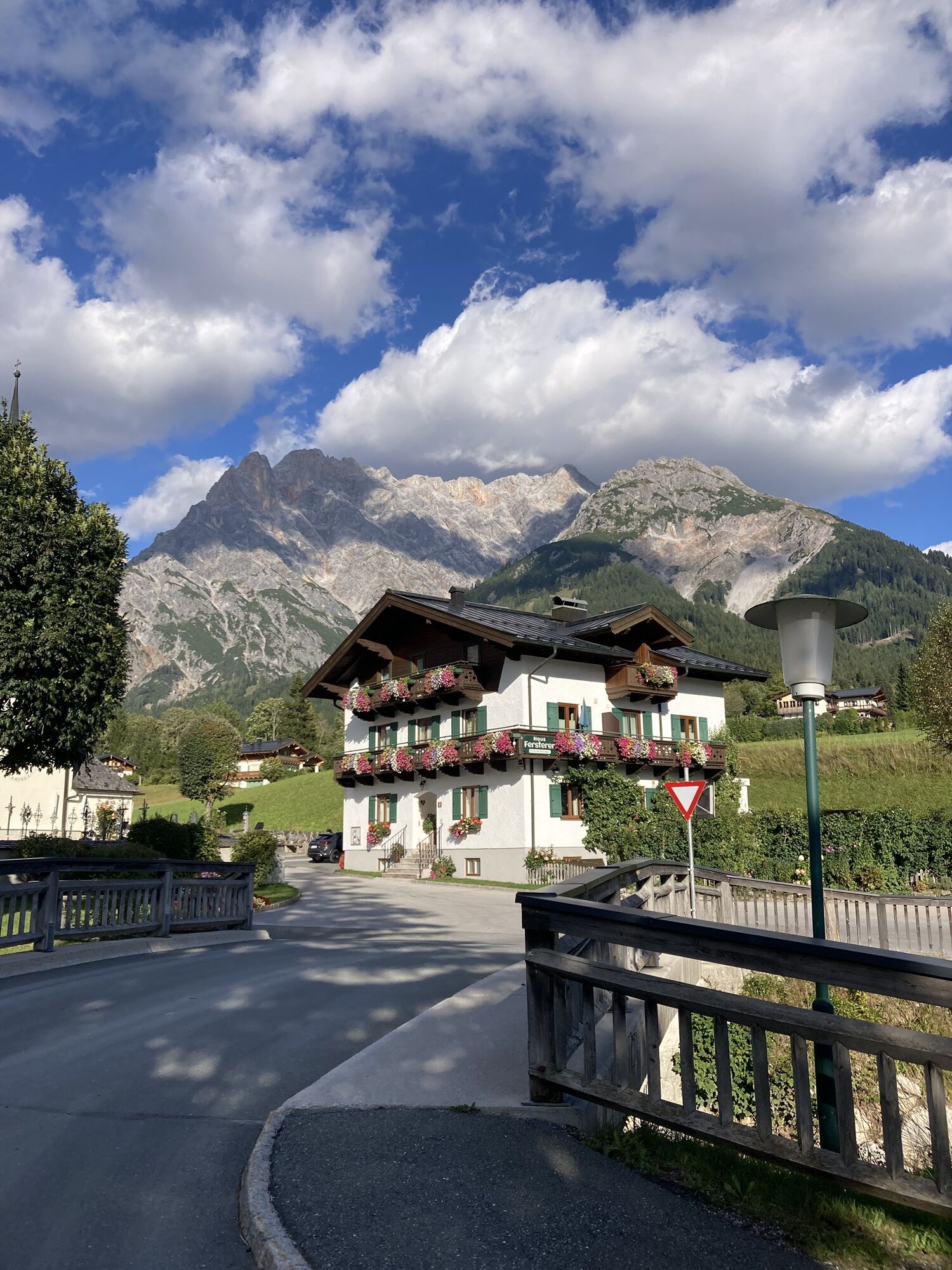
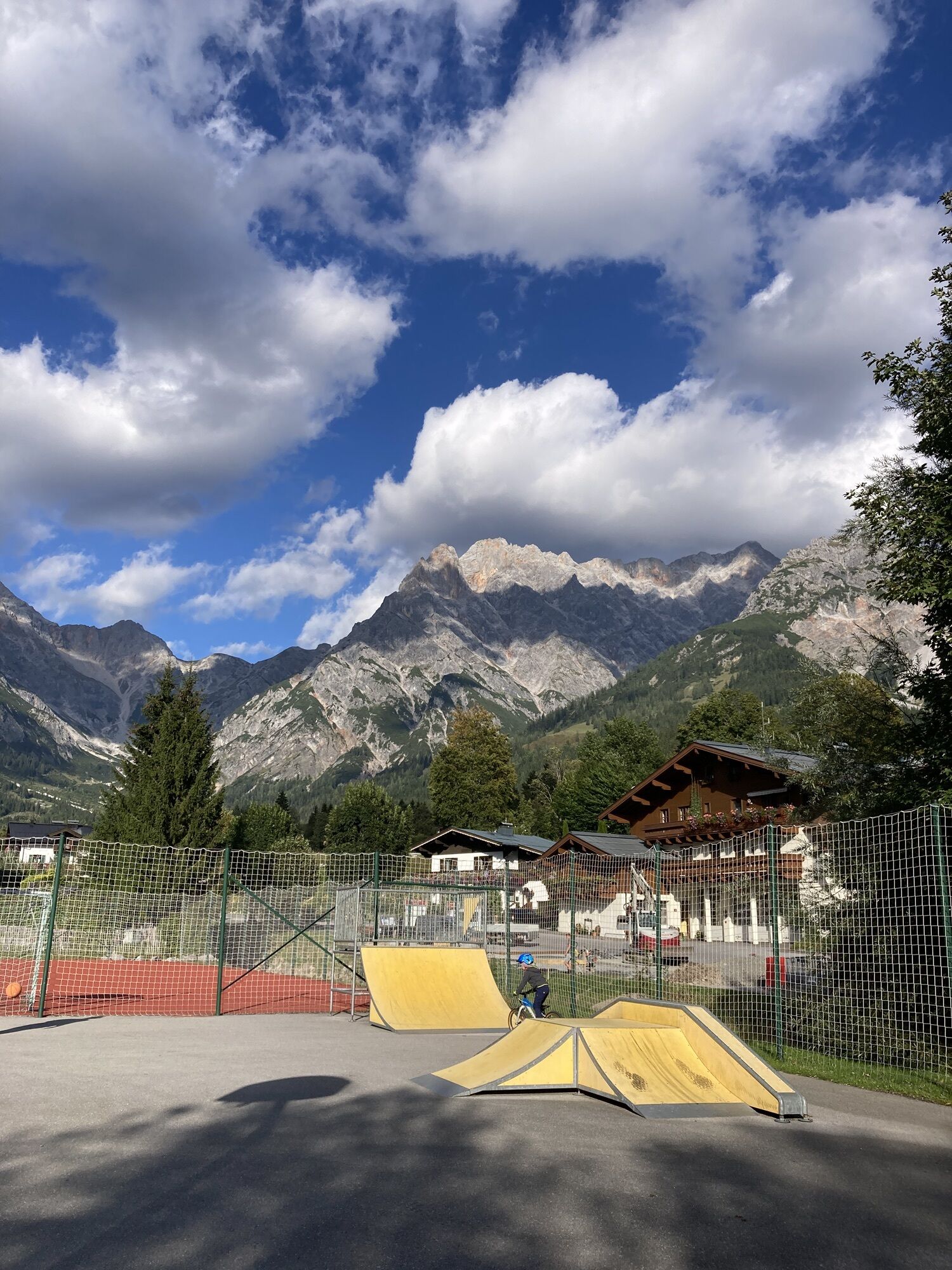
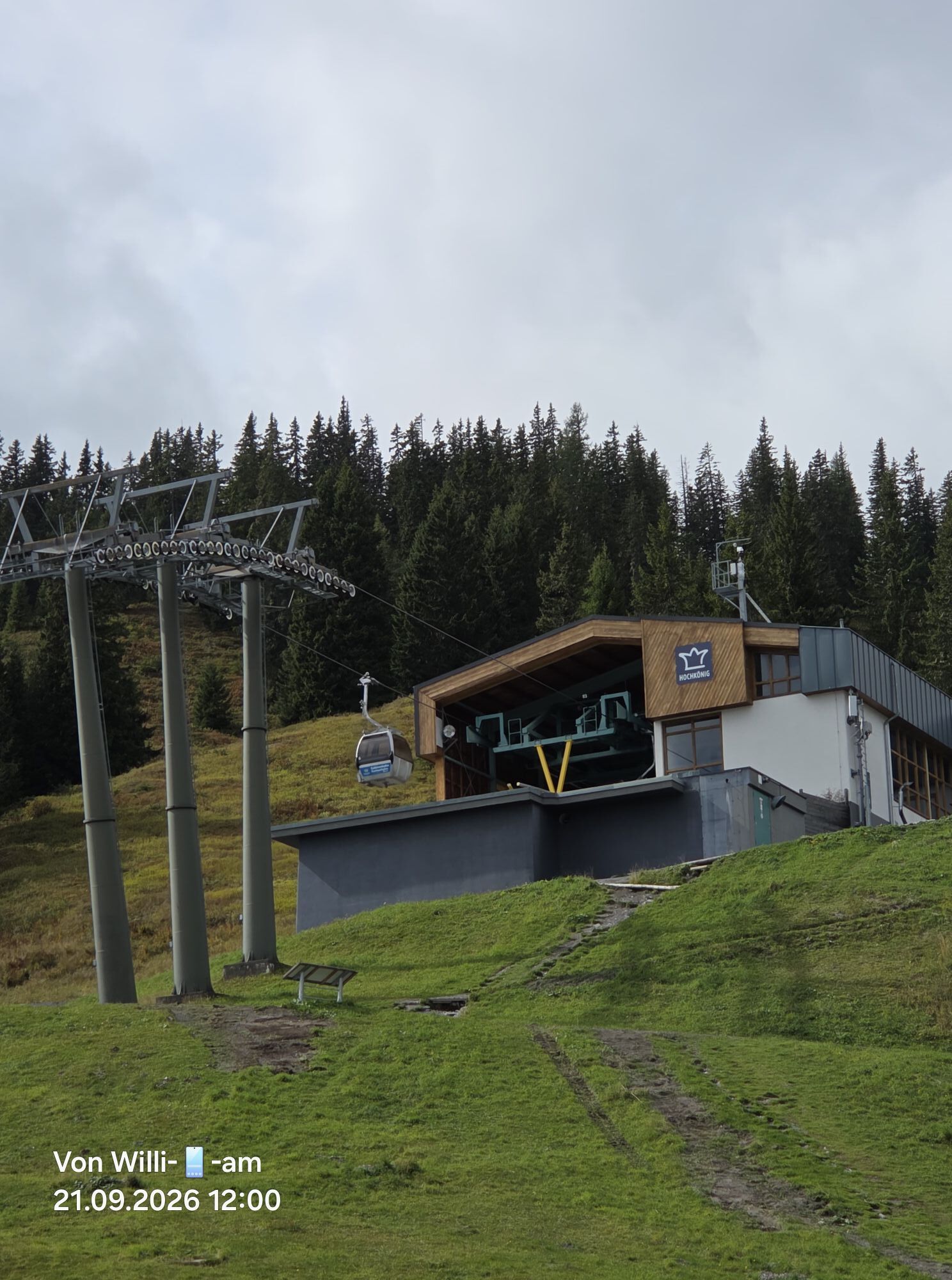
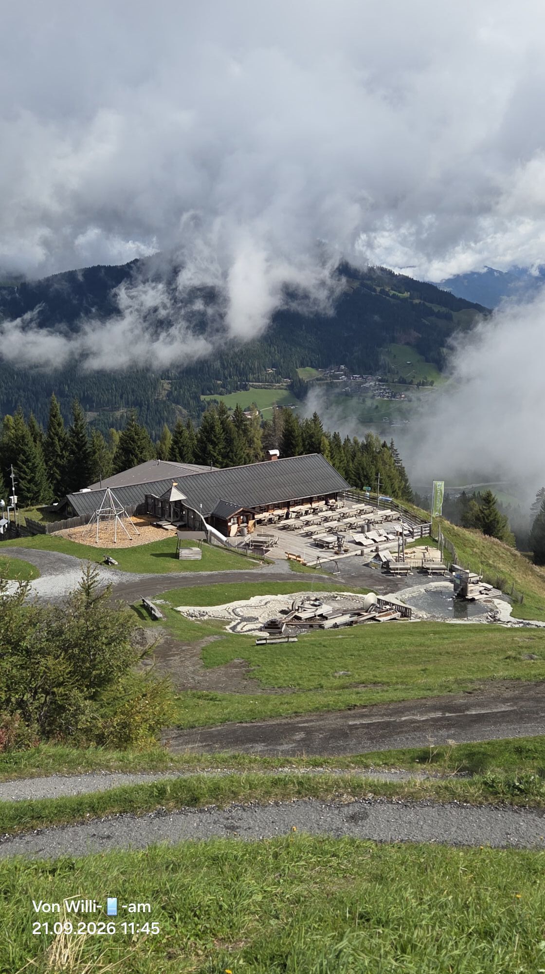
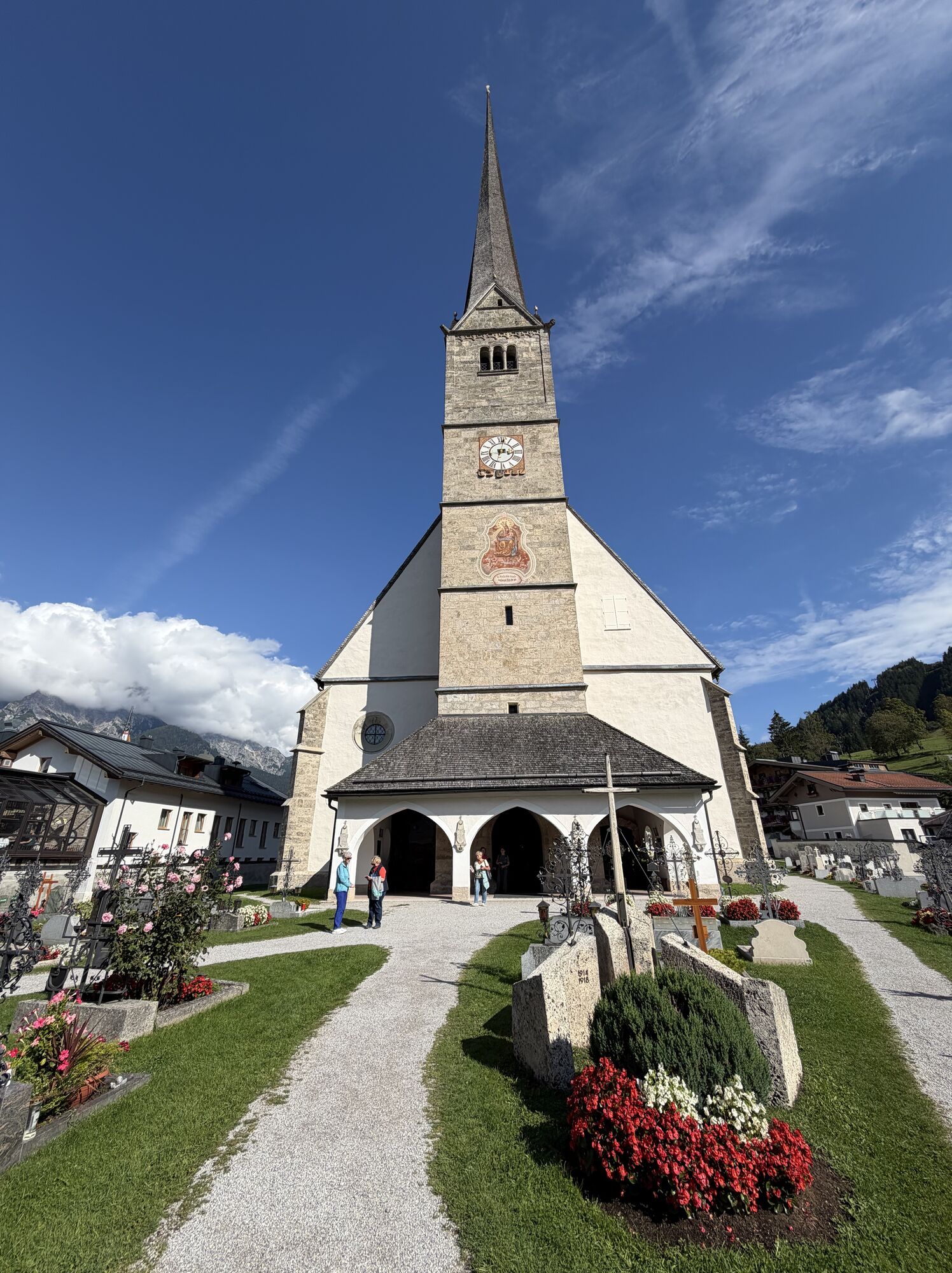
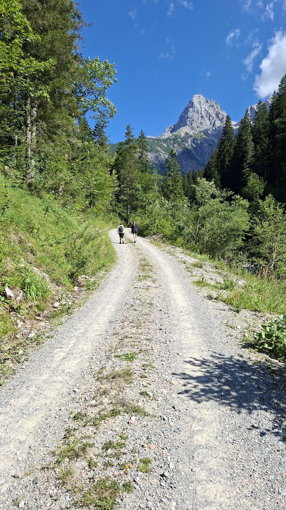
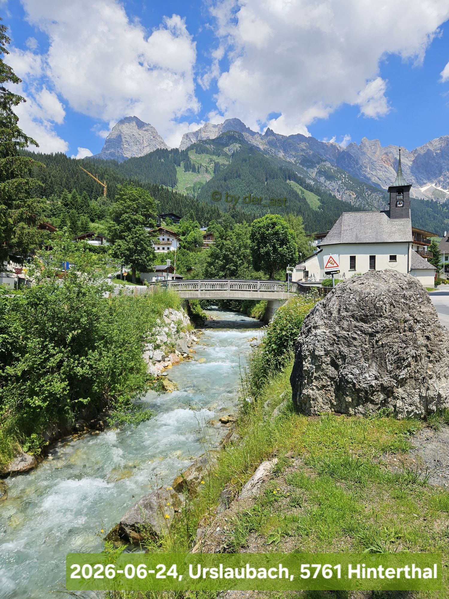
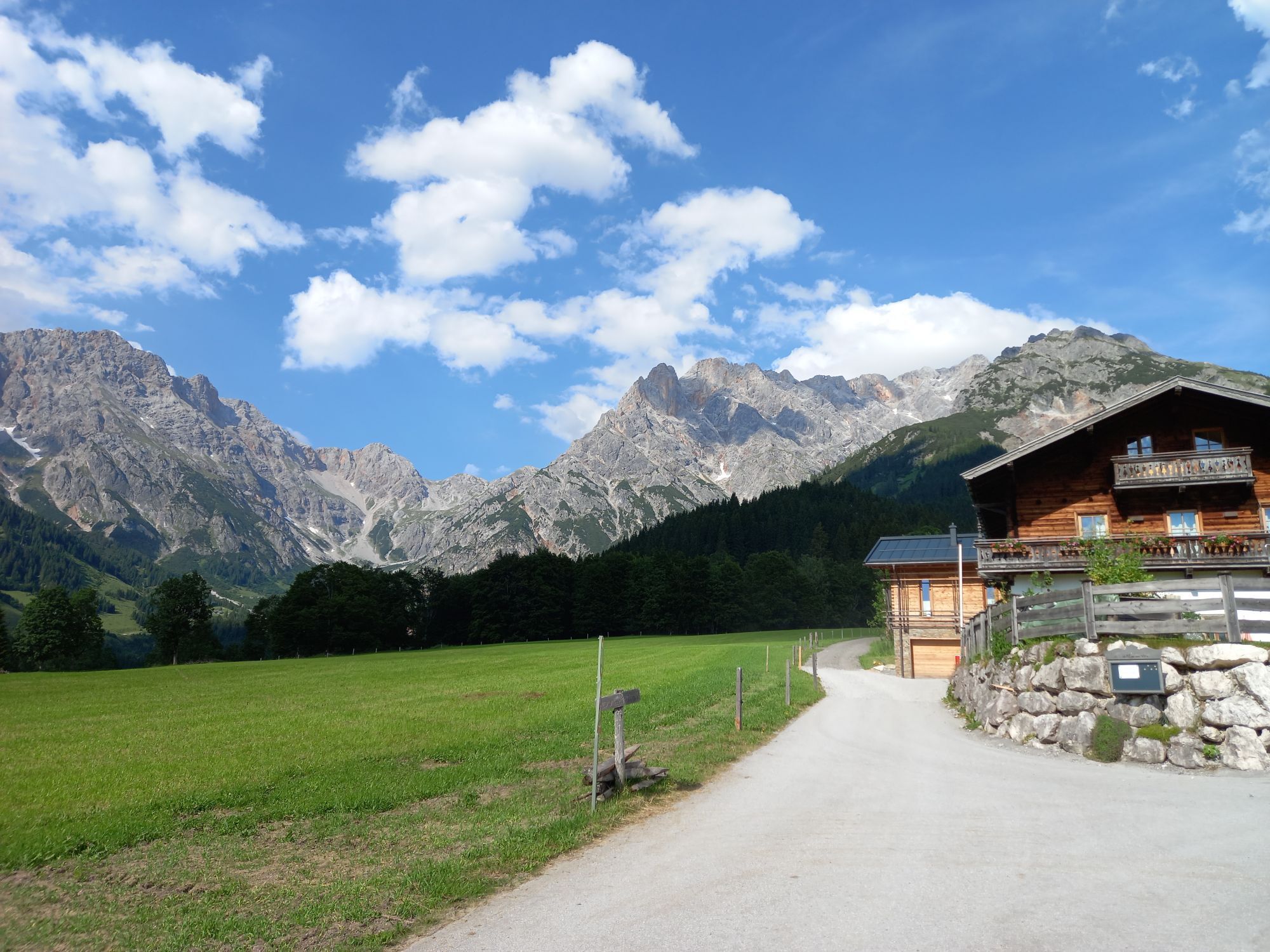
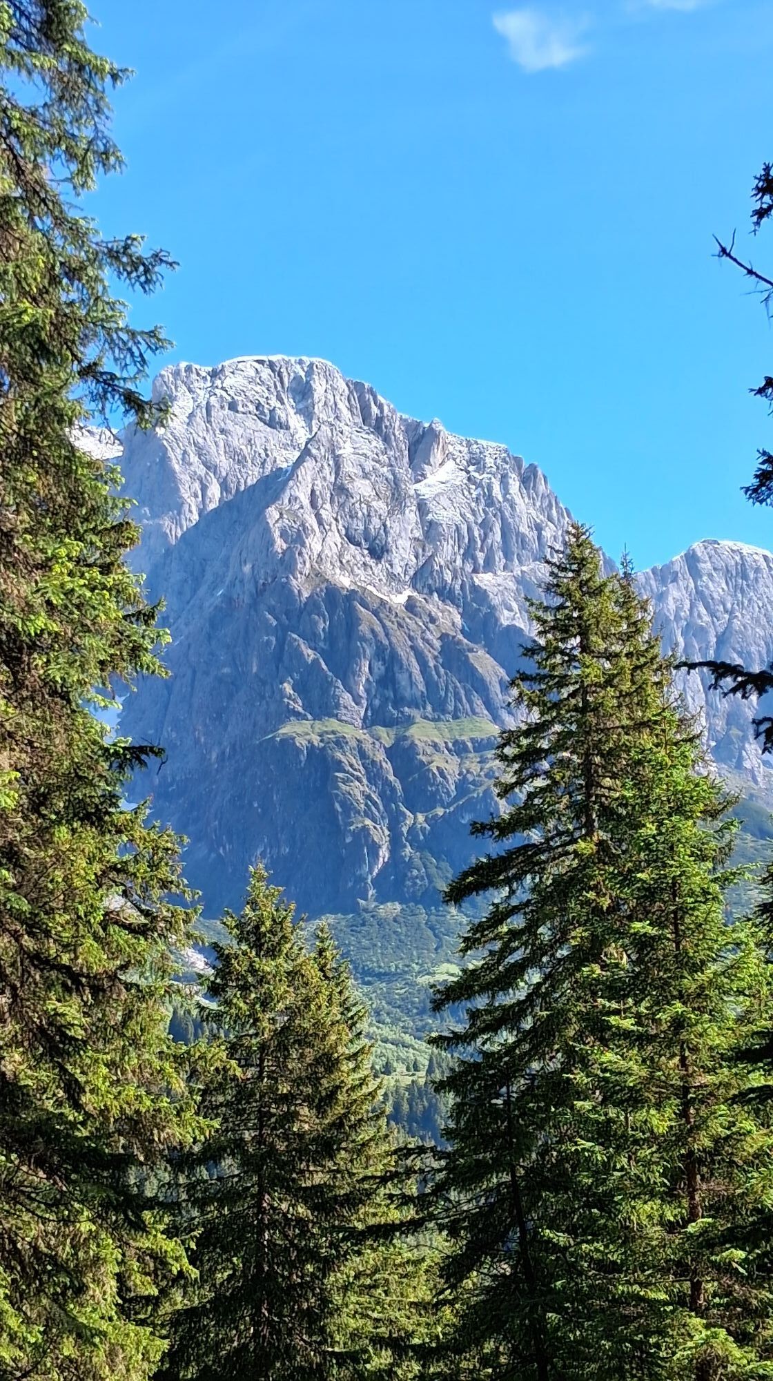
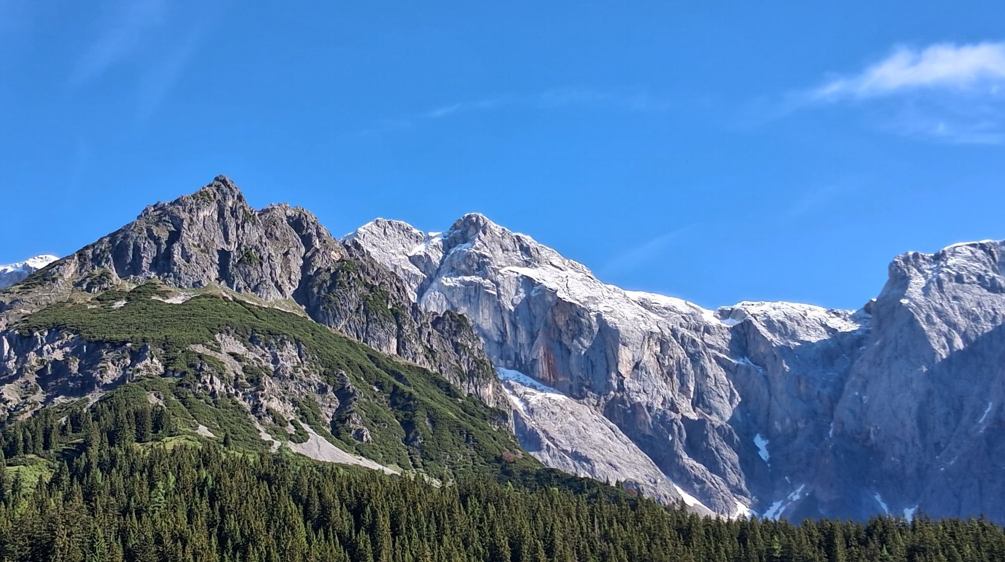
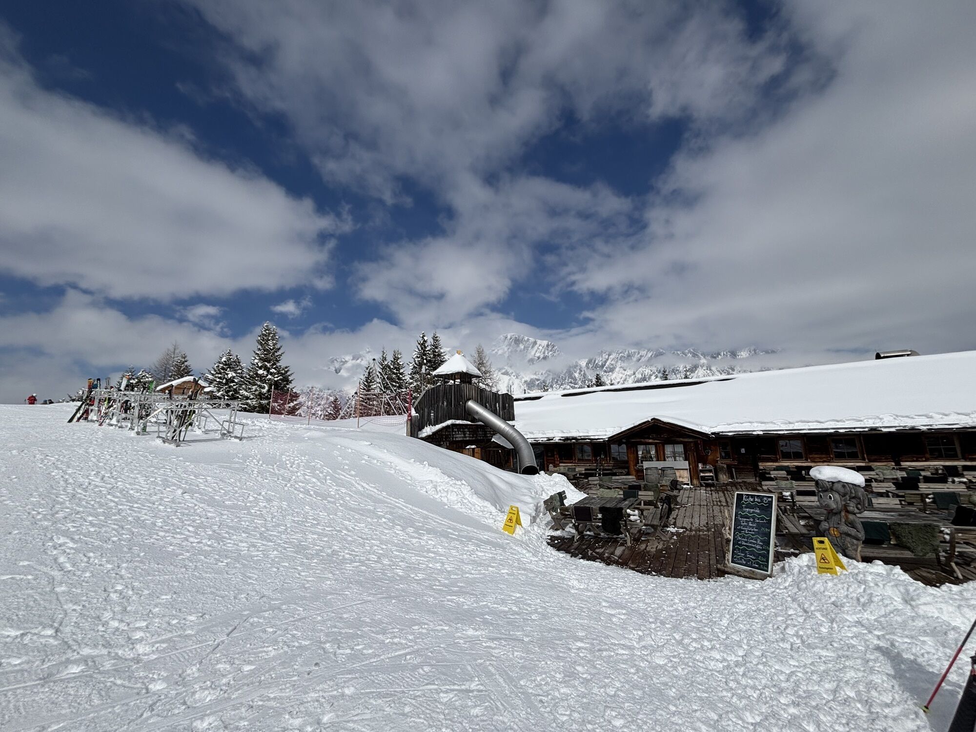
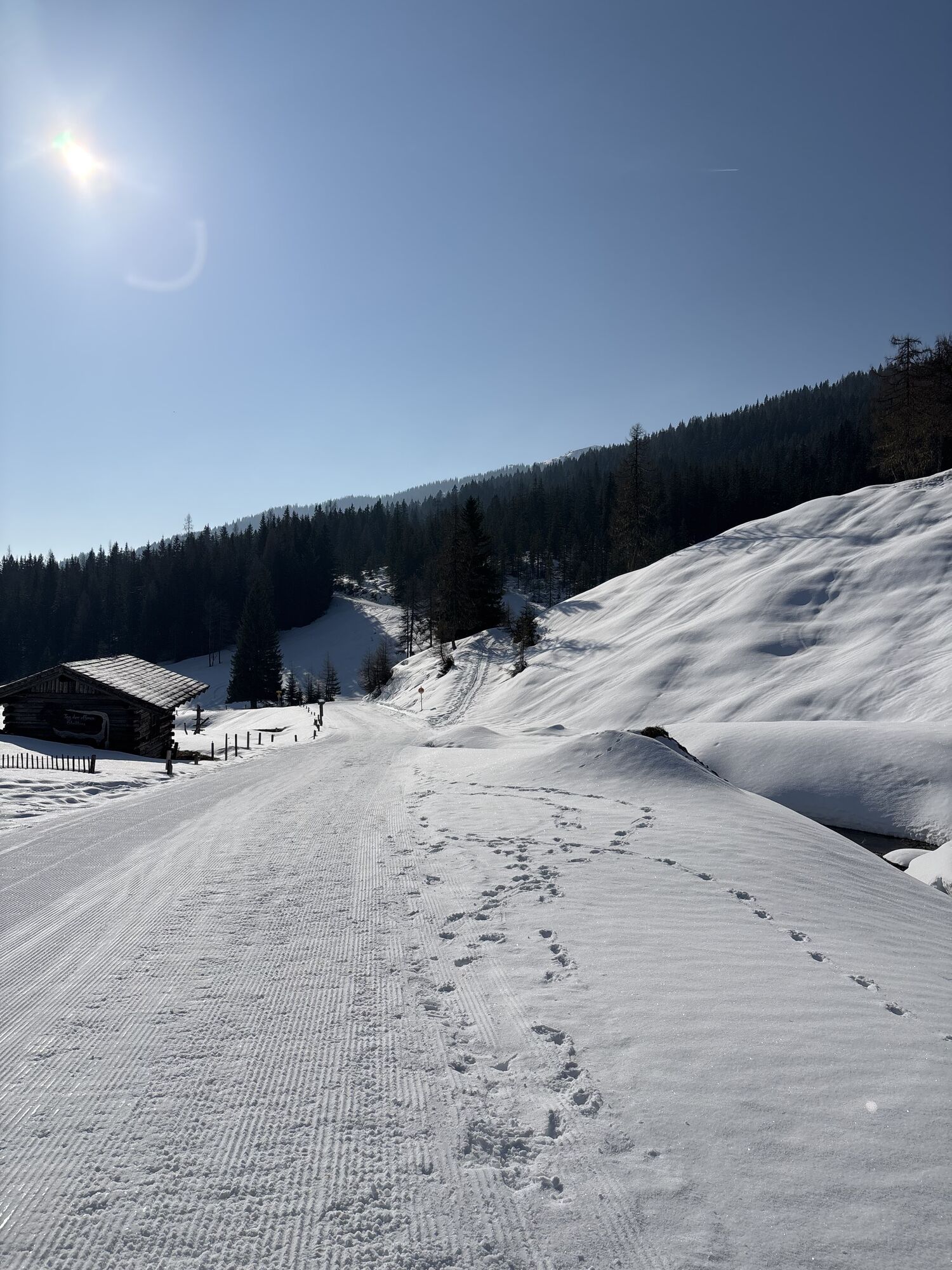
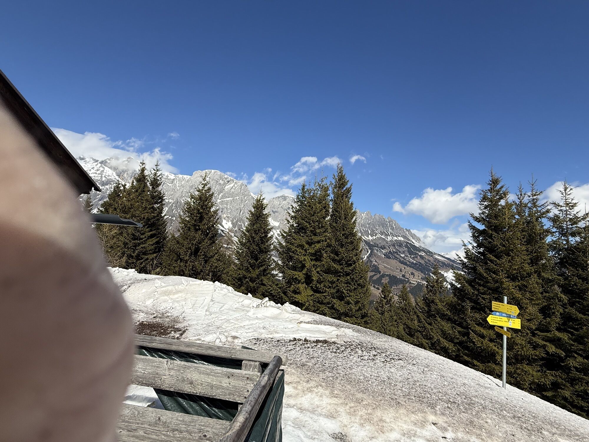
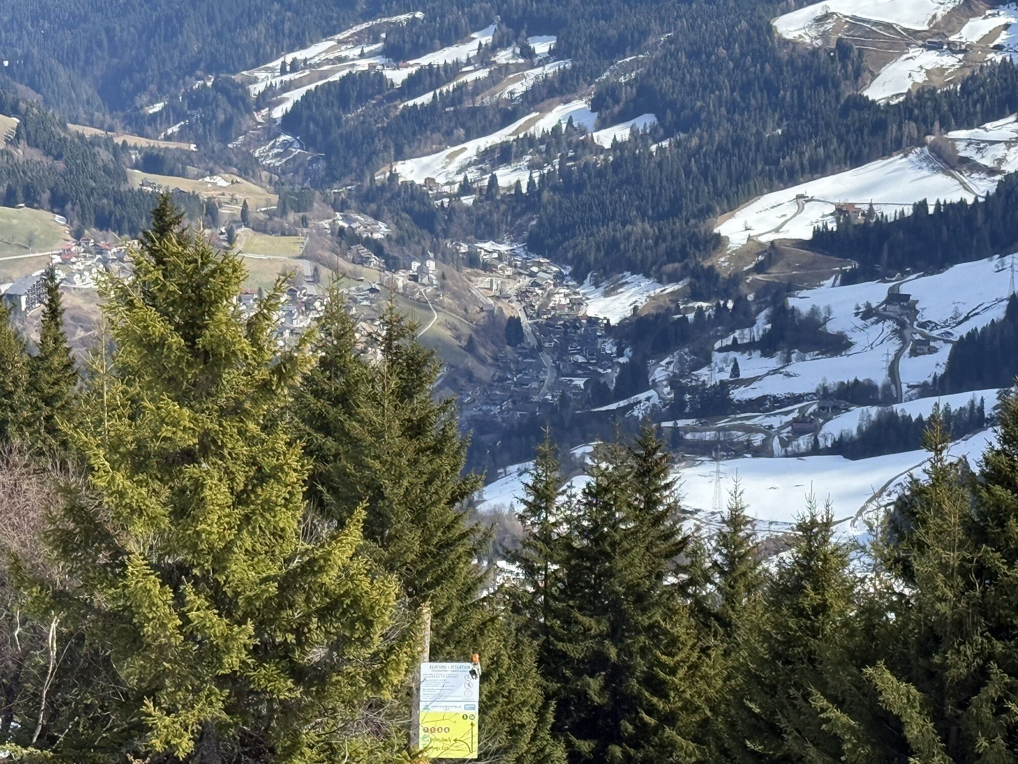
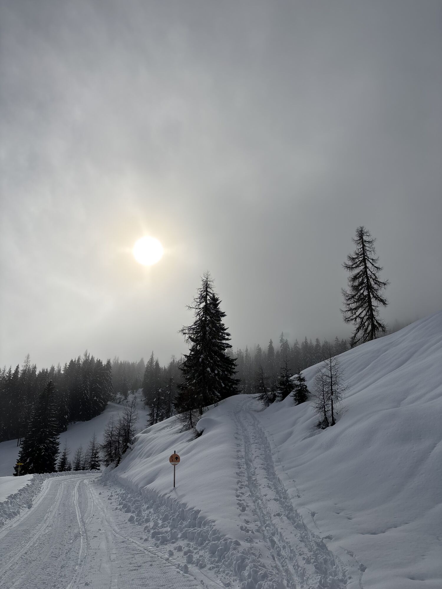
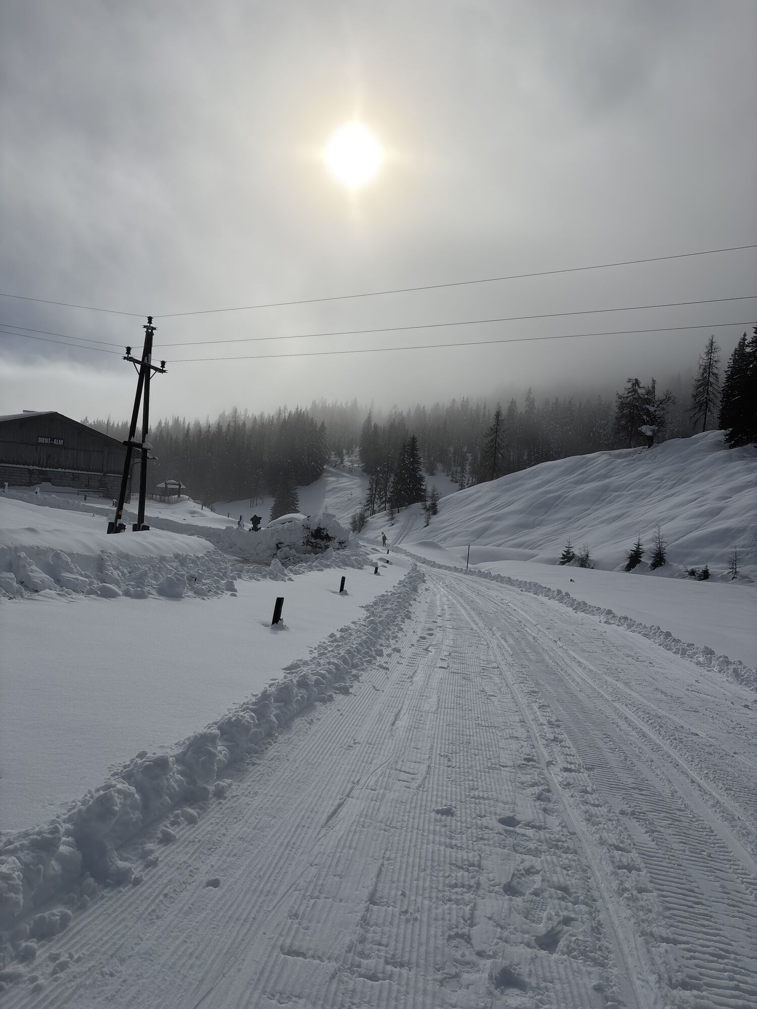
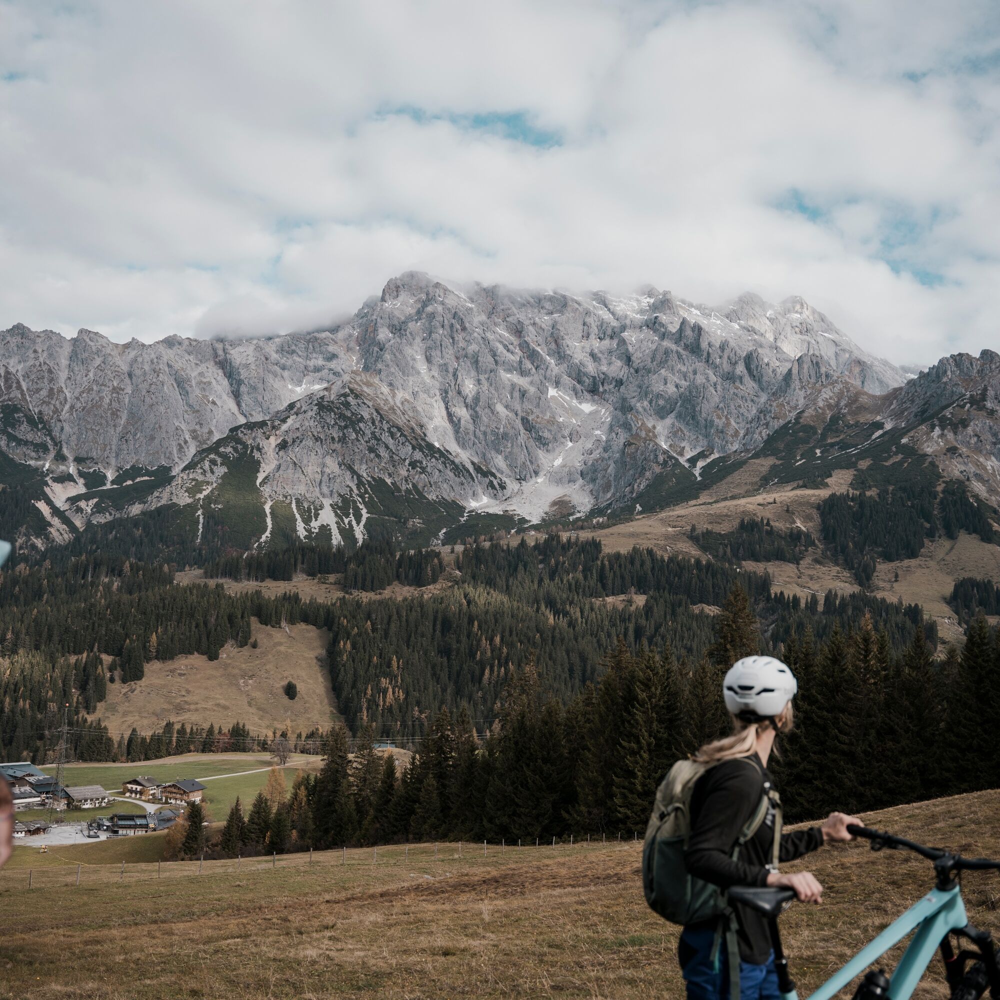
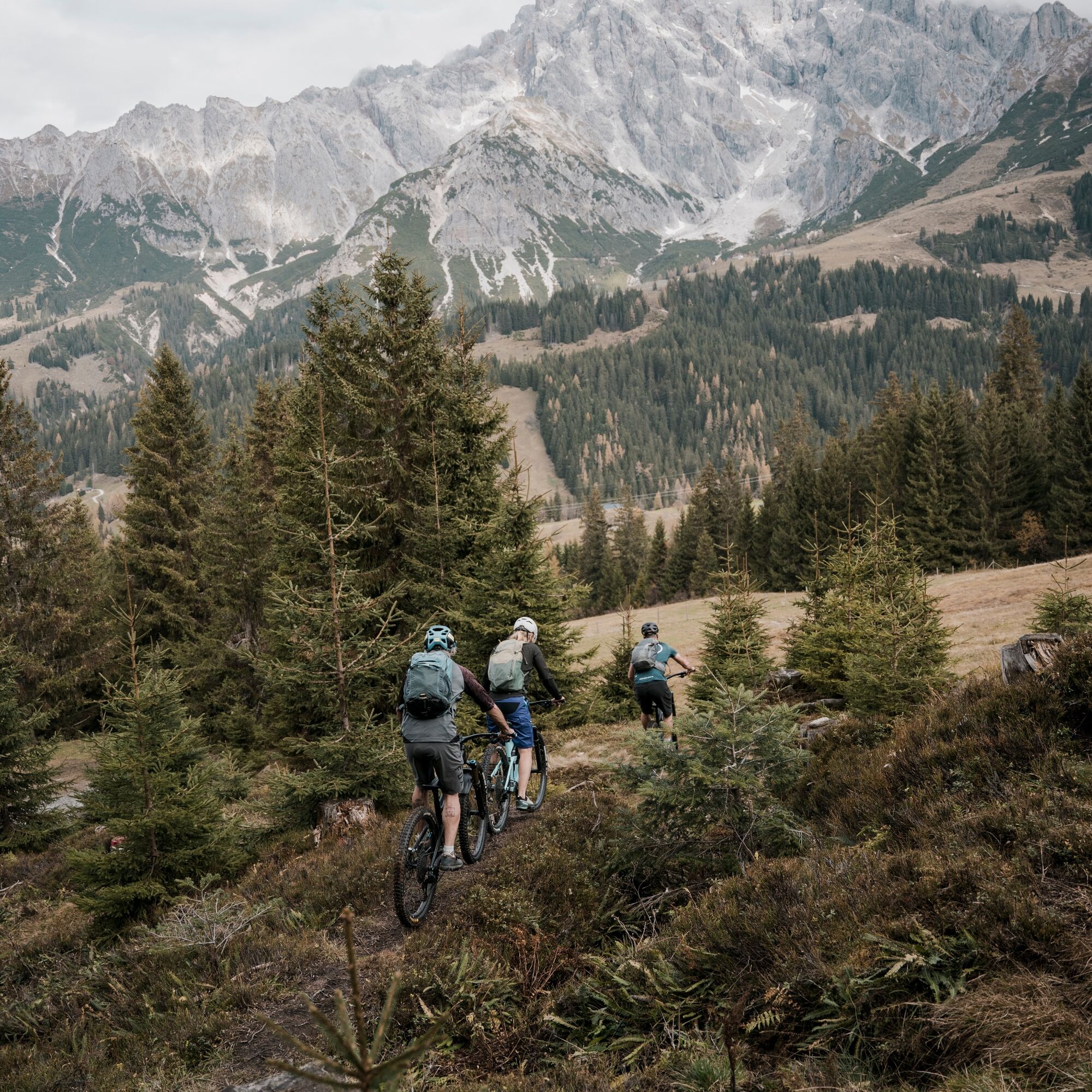
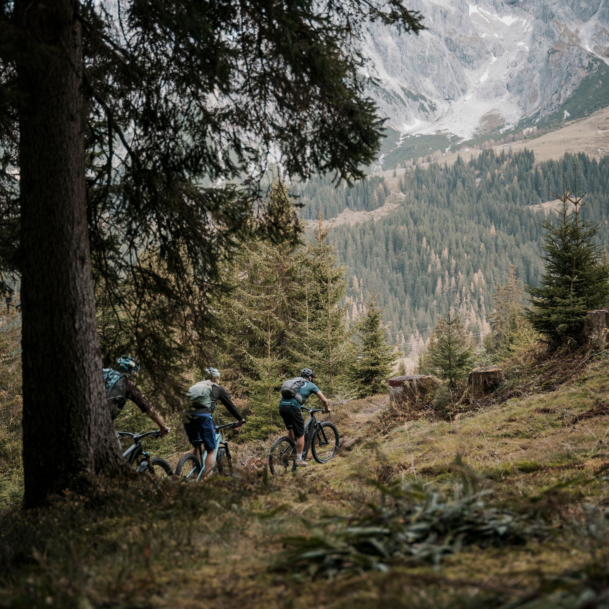
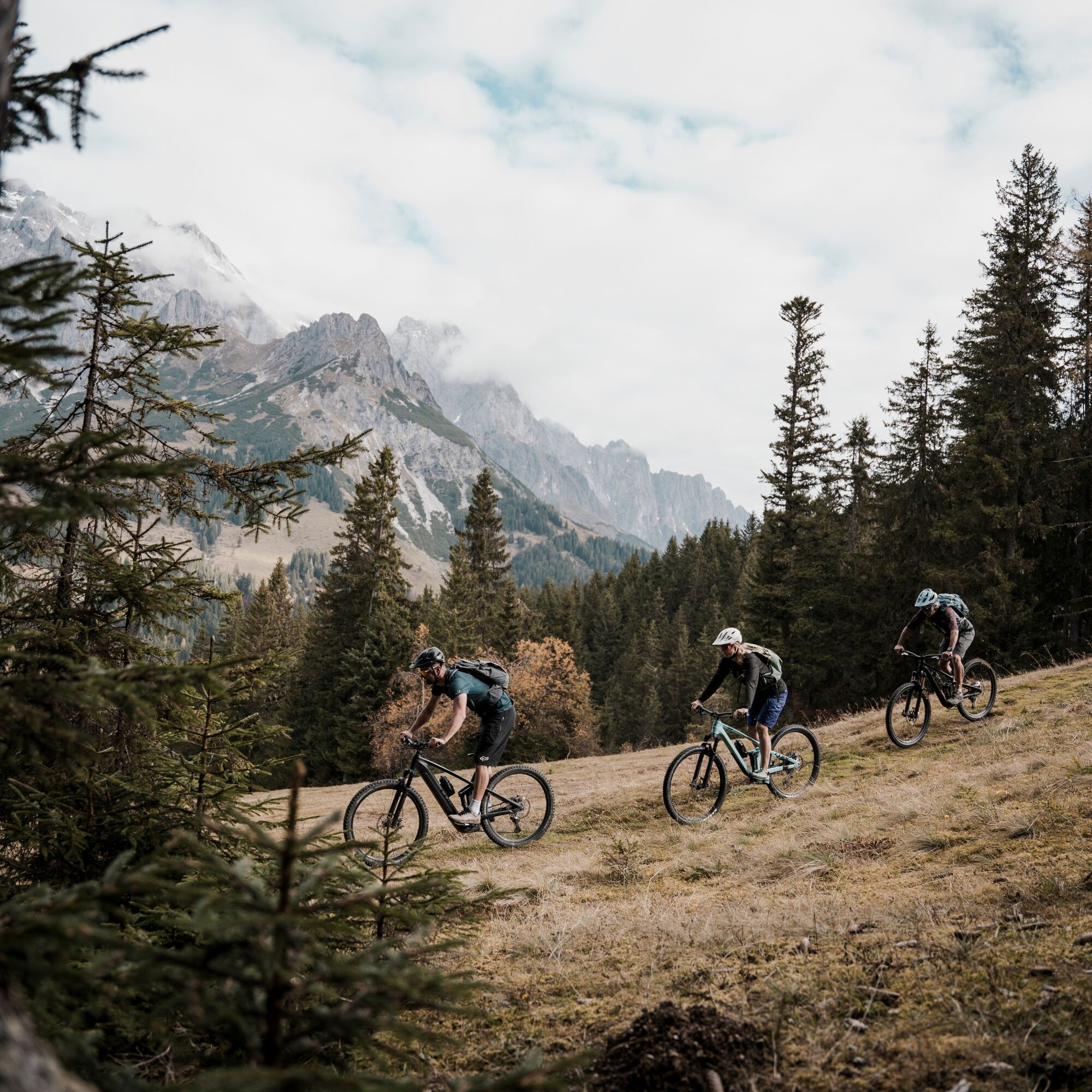
The Königstour MTB Light – Day 3 takes you from Mühlbach to Maria Alm at the Steinernes Meer and offers a breathtaking mix of nature, challenging paths, and the unique panorama of the Alps. On this 32.1...
The Königstour MTB Light – Day 3 takes you from Mühlbach to Maria Alm at the Steinernes Meer and offers a breathtaking mix of nature, challenging paths, and the unique panorama of the Alps. On this 32.1 km long route, you will travel on varied paths and optionally ride a trail. The route is ideal for mountain bikers looking for a sporting challenge without encountering overly difficult sections.

Your starting point is the center of Mühlbach. From here, you ride to the valley station of the Karbachalm cable car – and again face a choice:
ð Uphill with the lift "Karbachalmbahn" (please observe the opening hours)
ð Or by muscle power – via the Karbachalm route / Toni’s Family Bike route uphill to the Zapferlalm
At the Zapferlalm, both options meet again. Together you continue towards the Dientalm.
Follow the B164 and head towards Dienten am Hochkönig. At the valley station of the Zachhofalm cable car, leave the paved road and turn towards the Zachhofalm.
The path leads uphill until you reach a junction after about 2 km. There, go downhill to the right towards Deantnerin.
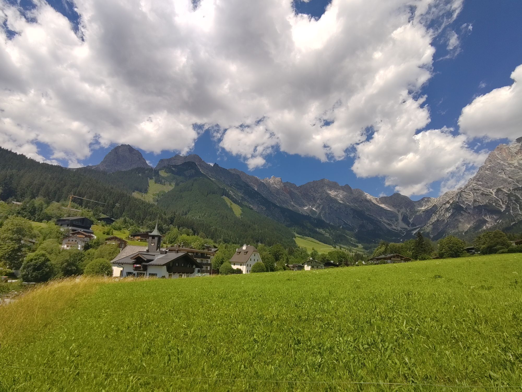
Passing the Deantnerin, you ride through the charming village center of Dienten, follow the L216, and then turn off at Grünegg.
It goes uphill again – past the Grüneggalm, further along a gravel forest road to the Filzensattel.
At Filzensattel, you ride a bit along the B164 to the first distinctive left curve. There, sharply right onto the old Filzenweg, which leads you down to Hinterthal.
Here awaits your last decision:
ð Via the new Primbach route MA09 with fantastic views of the Steinernes Meer back to Maria Alm – with trail options
ð Or leisurely through the valley along the Urslau via the B164
Back in Maria Alm, you reach the last checkpoint. Day 3 accomplished – the Königstour Bike light is complete - you can now enter your name in the finishers list and claim your trophy!
Checked bike equipment with helmet
Sunglasses, sunscreen, rain protection
Drinks and a small snack
Necessary medications
First aid kit
Bike map
Arrival from Salzburg: Take the A10 motorway to the Bischofshofen exit, then on the B311 towards Bischofshofen. Follow the Hochkönig federal road/B164 to Mühlbach and onwards to Dienten. Arrival from Innsbruck/Kufstein: Take the Loferer road/B178 towards St. Johann i.T., then via the Hochkönig federal road/B164 via Saalfelden and Maria Alm to Dienten or the Filzensattel. A valid vignette is required for using the Austrian motorway and expressway network. It is also mandatory to carry a first aid kit, warning triangle, and reflective vest. Further info at Asfinag.
ÖBB-Scotty: timetable information
Bus line 620: timetable information
Bus line 631: timetable information
Hiking bus: timetable information
Free parking available
S2
Further information on hiking and activities in the Hochkönig region:
For detailed information about hiking maps, opening hours of cable cars, huts, and alpine pastures in summer, we recommend visiting the local service centre. There you will not only get the hiking map but also valuable tips on the best hiking routes and current conditions.
Summer opening hours of cable cars: During summer months, cable cars offer various opening hours, which can vary depending on weather and season. Please check the current operating times in advance.
Summer opening hours of huts & alpine pastures: The huts and alpine pastures in the region are ideal rest stops for hikers. Their opening hours can also vary by season and weekday. Let the friendly hosts advise you about the offerings and specialties on site.
For more information, please visit our website: www.hochkoenig.at.
If you have any questions or need specific information, you can contact us at:
Email: region@hochkoenig.at
Phone: +43 (0)6584 20388
We look forward to helping you and wish you lots of fun exploring the beautiful Hochkönig hiking region!
Webové kamery z prehliadky
-
Mühlbach am Hochkönig
-
Maria Alm - Hochmaisbahn
-
Bergstation Kings Cab
-
Saalfelden
-
Dienten - Übergossene Alm Resort
-
Dienten - Almsee
-
Dienten - Übergossene Alm Resort
-
Natrun Bergstation
-
Hoferbichlgut
-
Hinterreit - Saalfelden
-
Saalfelden - Obermühlhof
-
Maria Alm - "die Hochkönigin"
-
Arthurhaus - Mühlbach
-
Hinterthal - Urslauerhof
-
Hinterthal - Urslauerhof

Obľúbené výlety v okolí
-
4,4
Maria Alm - Riemannhaus
Turistika 3,99 km -
4,9
Summit stormer route Lauskopf
ťažkéTuristika 8,16 km -
4,8
Highlight Kitzlochklamm Classic round
strednáTuristika 2,02 km -
4,8
Summit storming route Taghaube
ťažkéTuristika 6,25 km -
4,7
About the "Four Huts circular route" to Windraucheggalm
strednáTuristika 10,1 km -
3,7
Wanderung zur Ostpreußenhütte in Werfen (1.630 m)
strednáTuristika 11,2 km -
4,6
Panorama hike to the Hochkeil
strednáTuristika 6,07 km -
4,4
Schwalbenwand Nr. 80, 81, 82
strednáTuristika 13,0 km -
4,6
Peter-Wiechenthaler Hut
strednáTuristika 4,32 km -
4,6
Steinalm
svetloTuristika 2,71 km
Turistika a stopovanie


Nenechajte si ujsť ponuky a inšpiráciu na ďalšiu dovolenku
Vaša e-mailová adresa bol pridaný do poštového zoznamu.





