


SH 40 Hochalm - Trail - Route
Úroveň náročnosti: S2
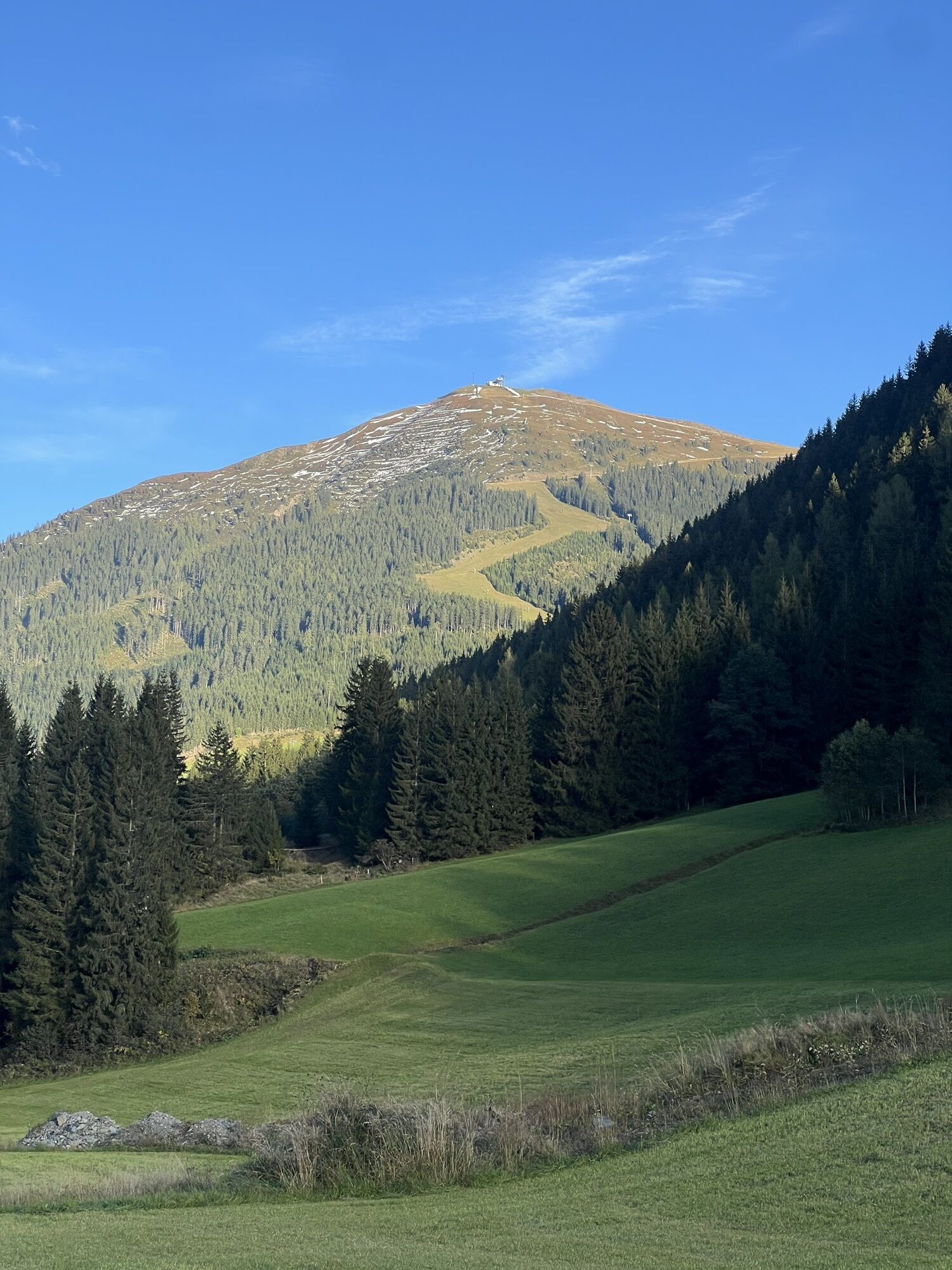
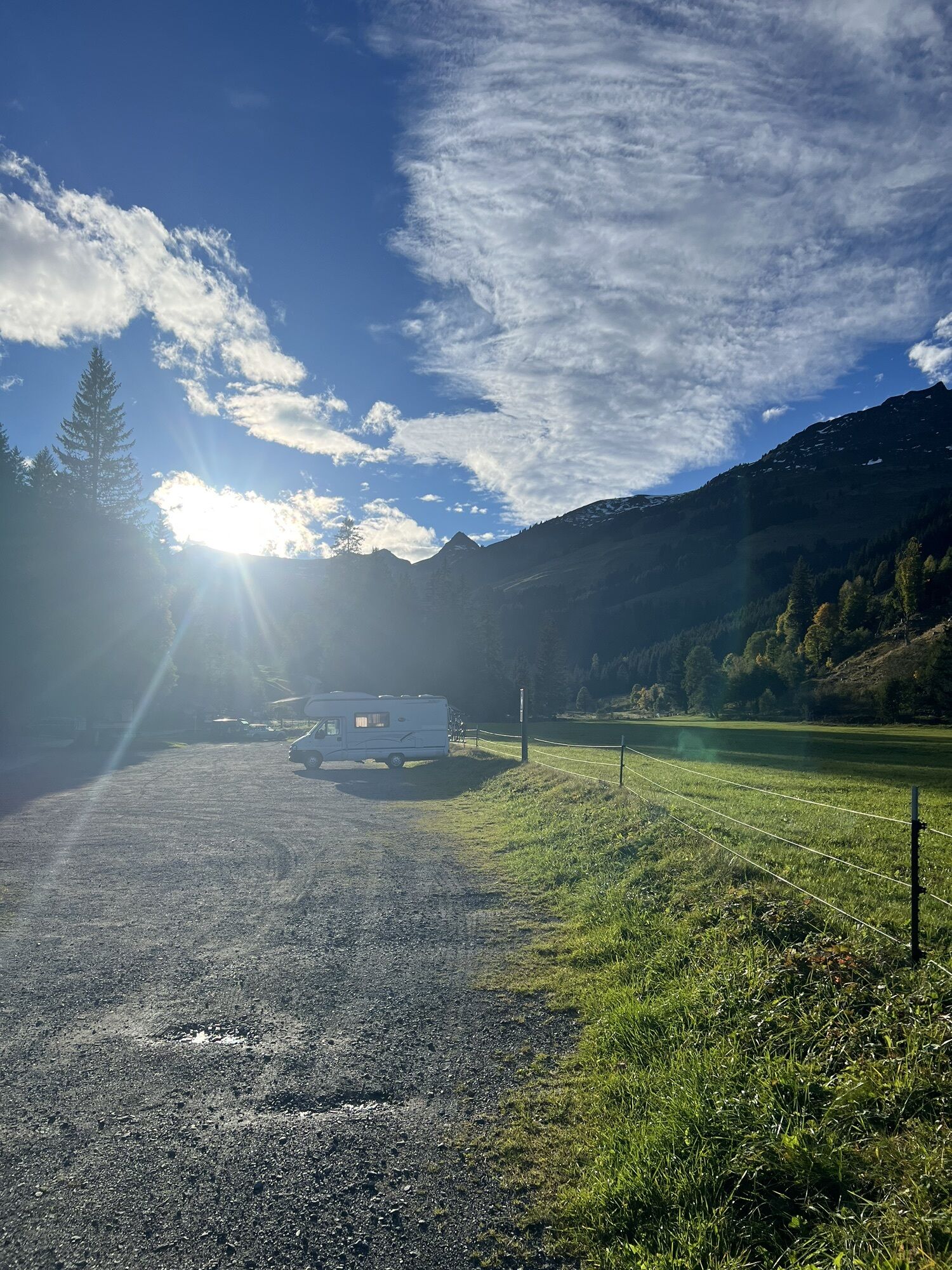
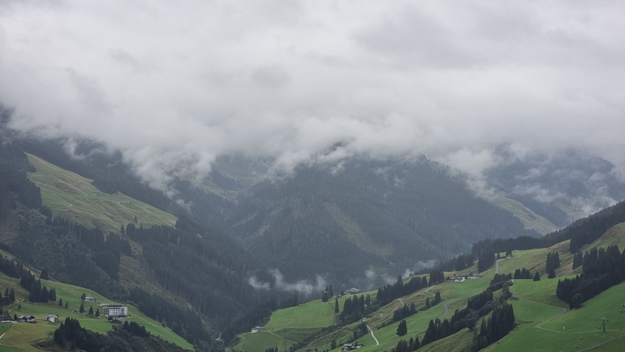
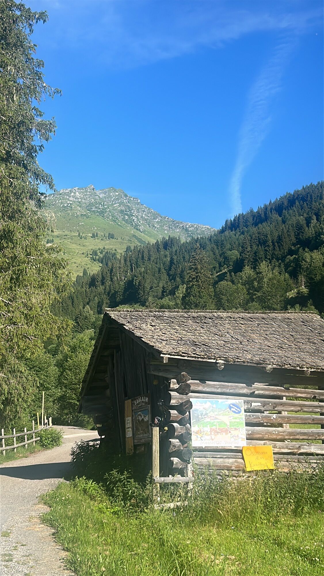
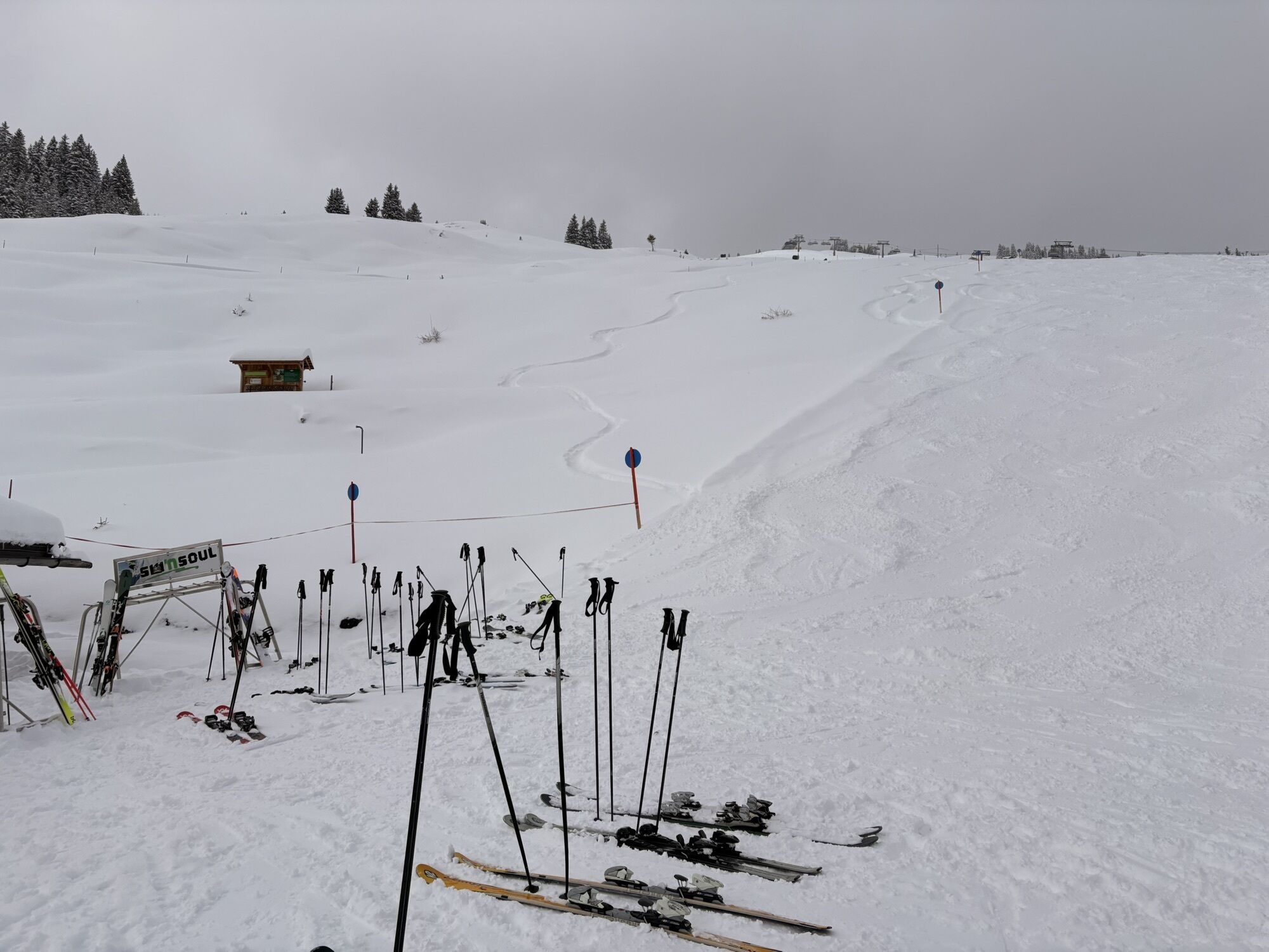
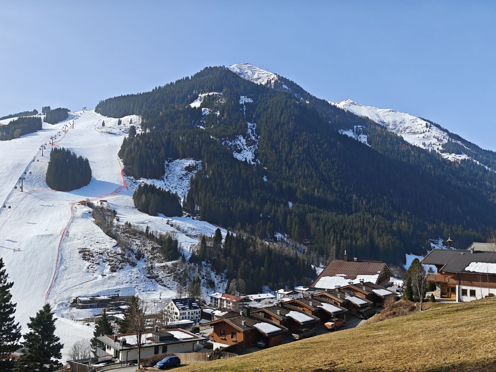
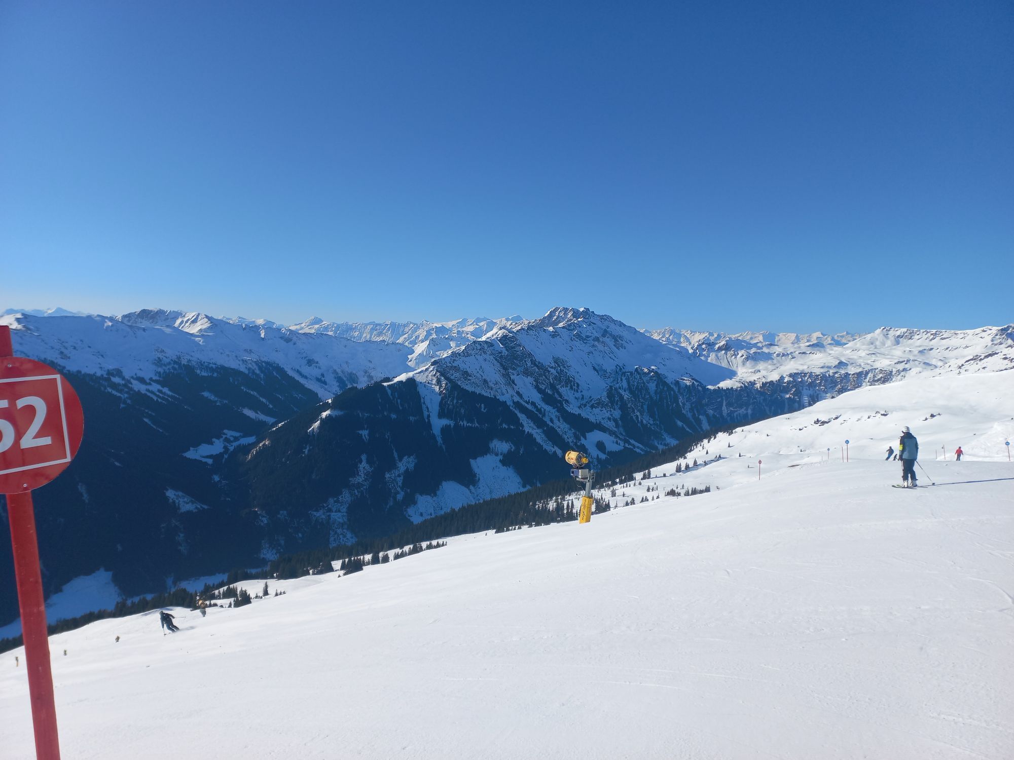
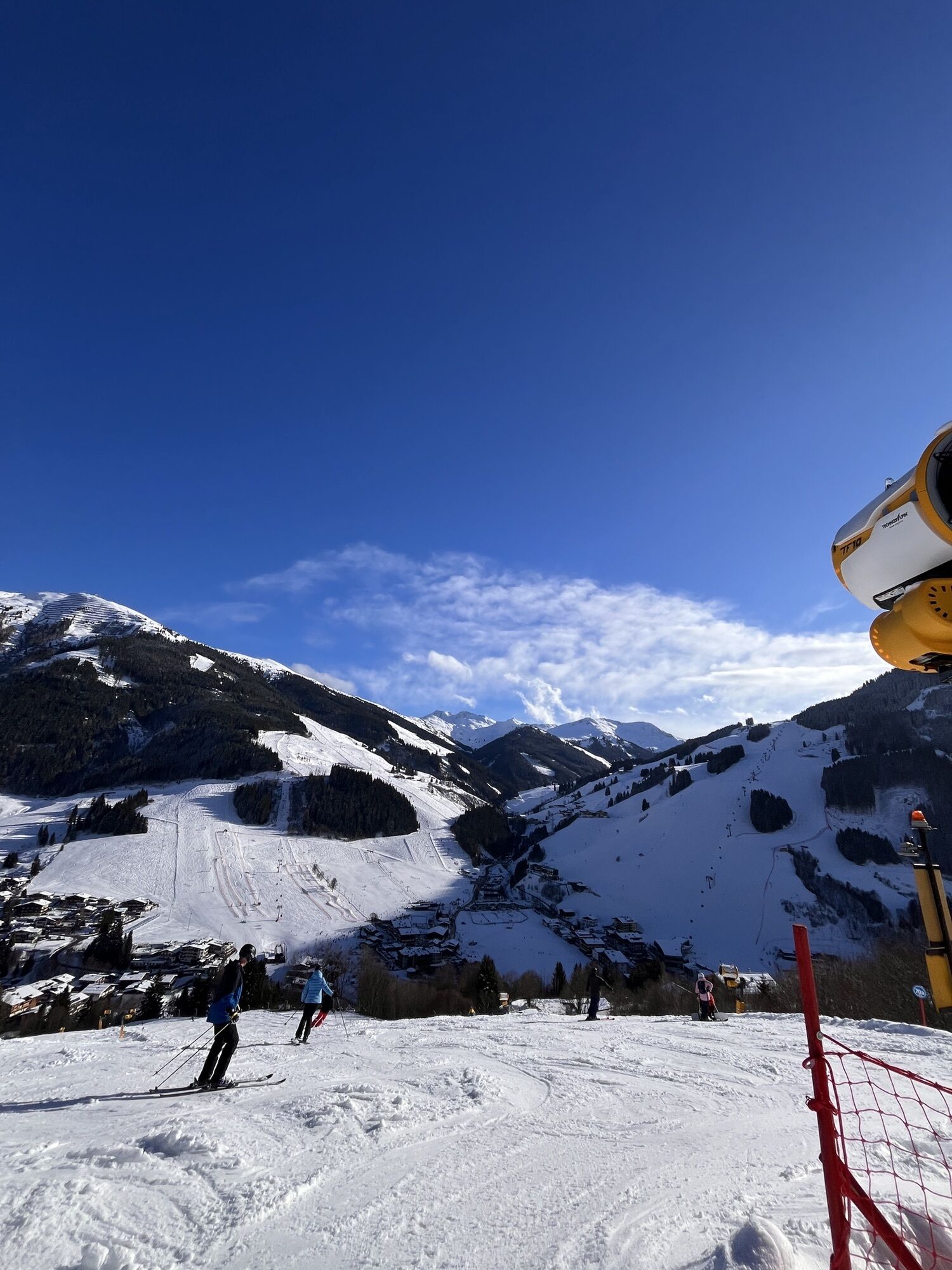
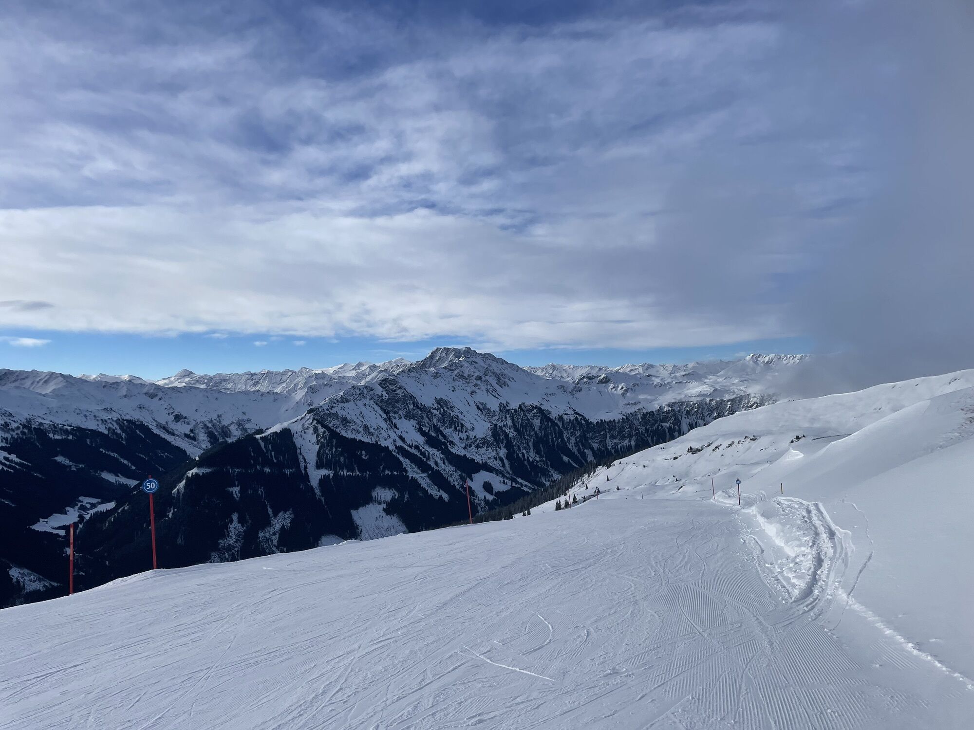
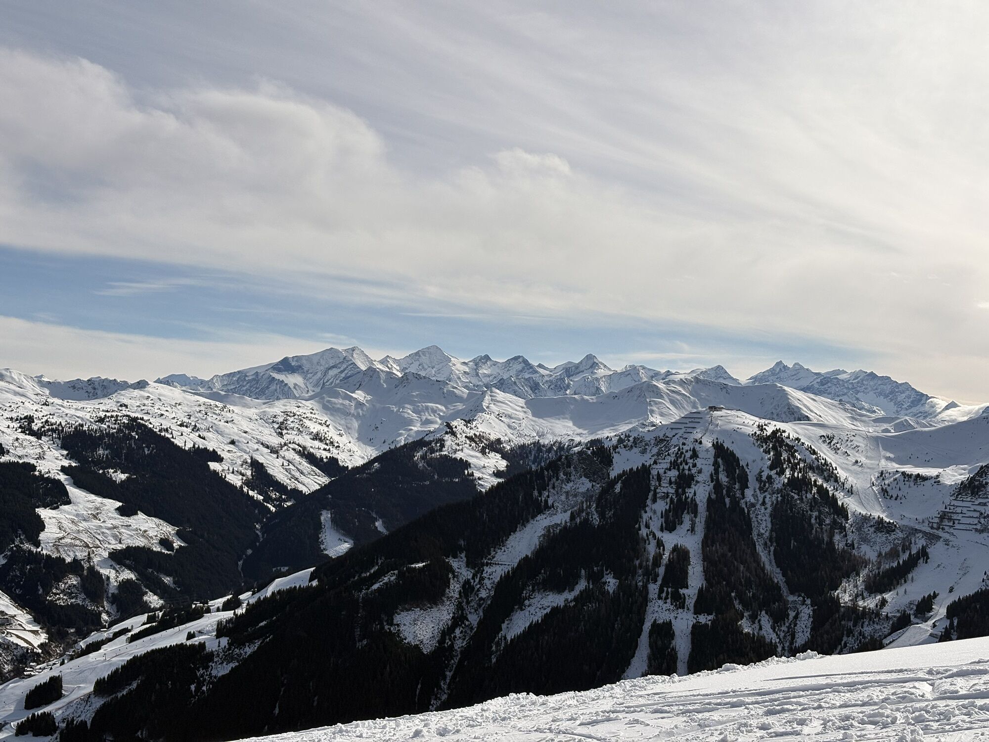
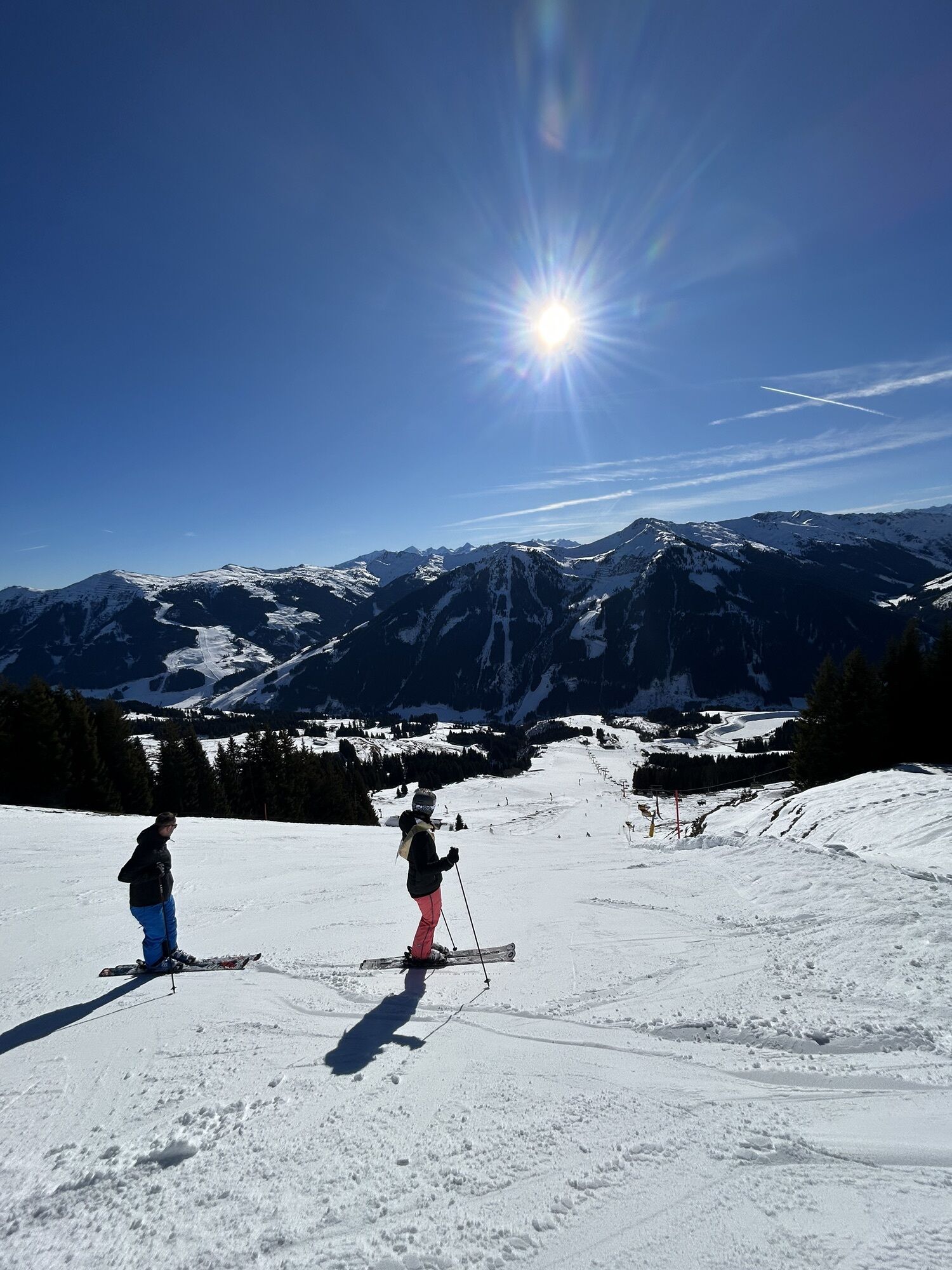
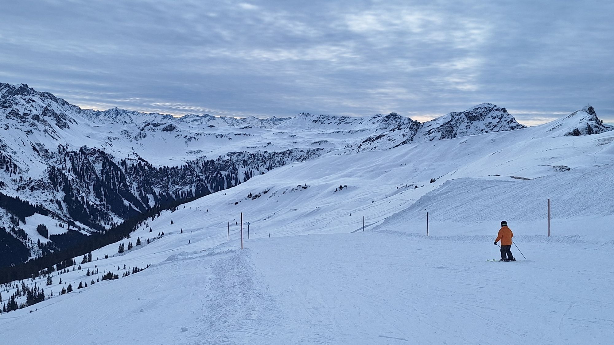
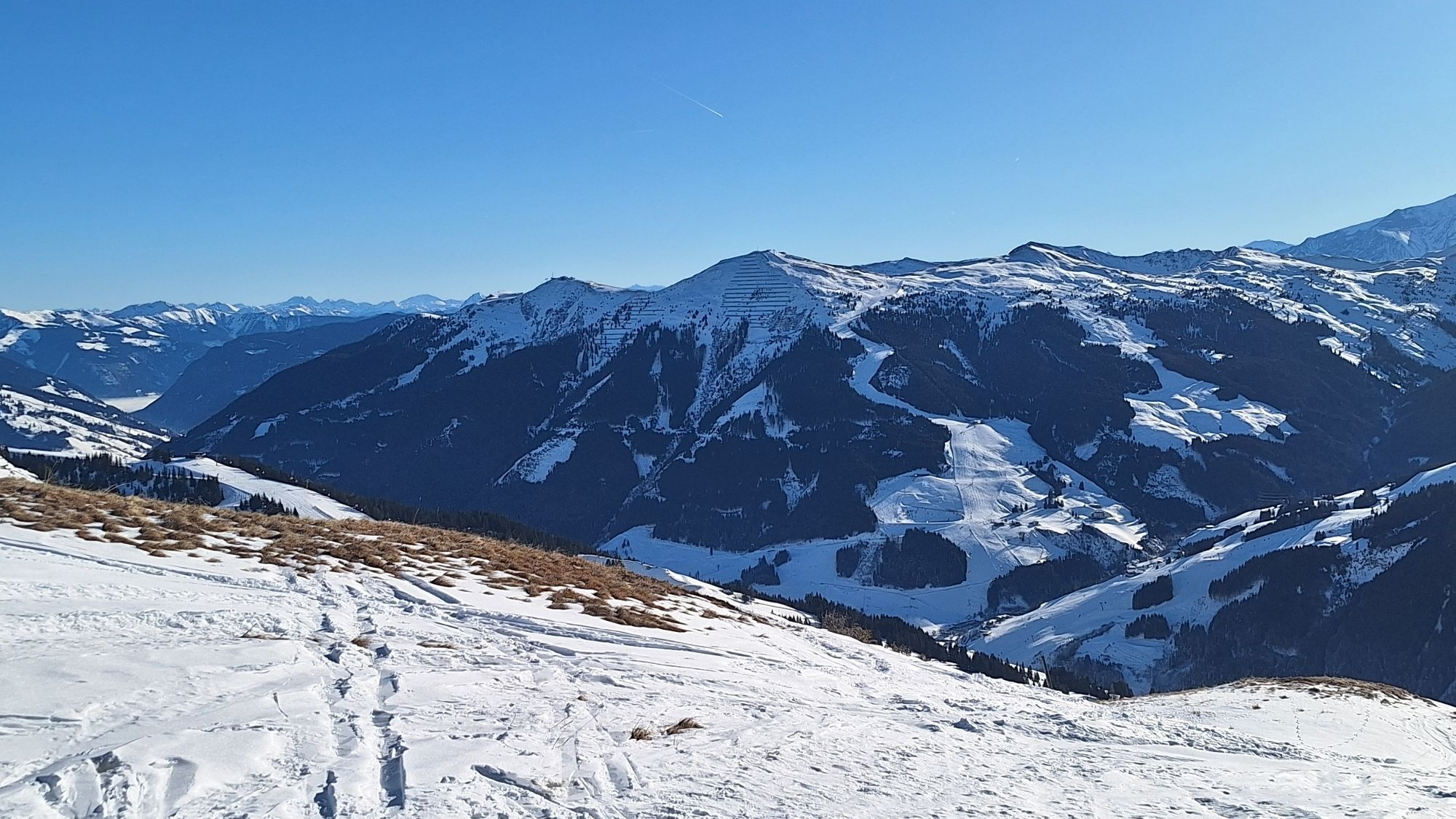
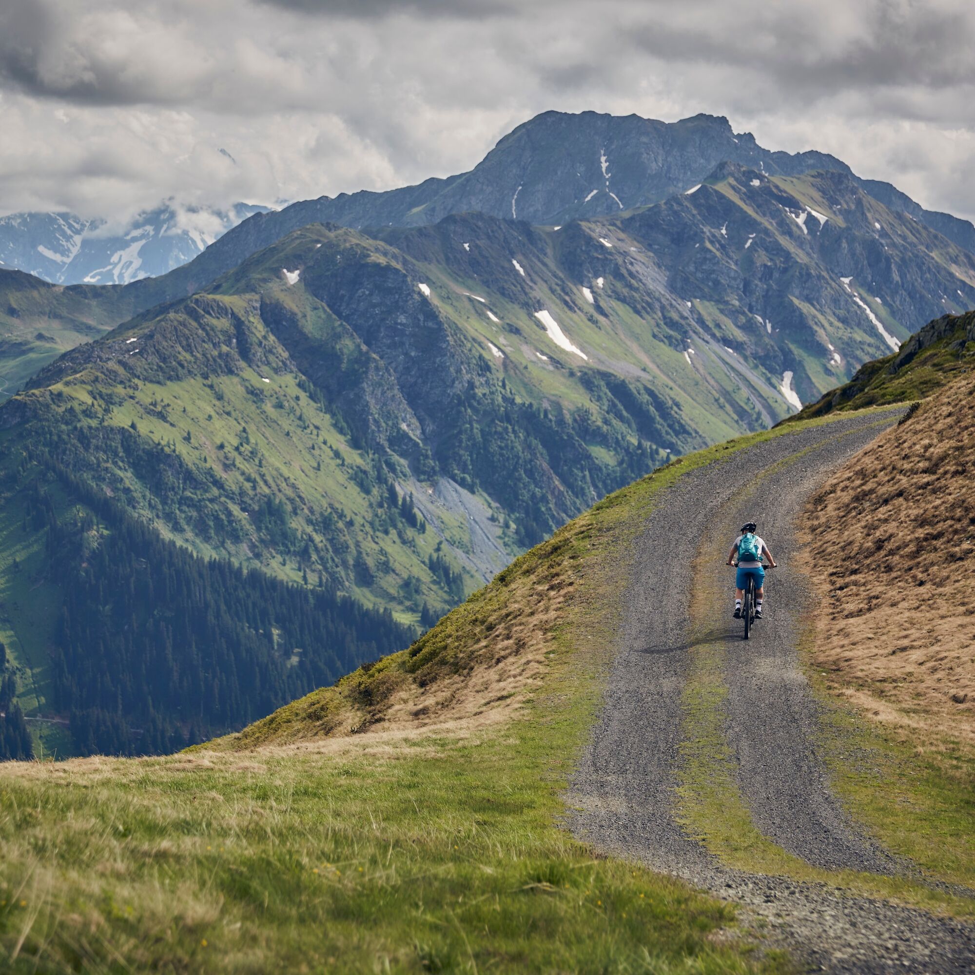
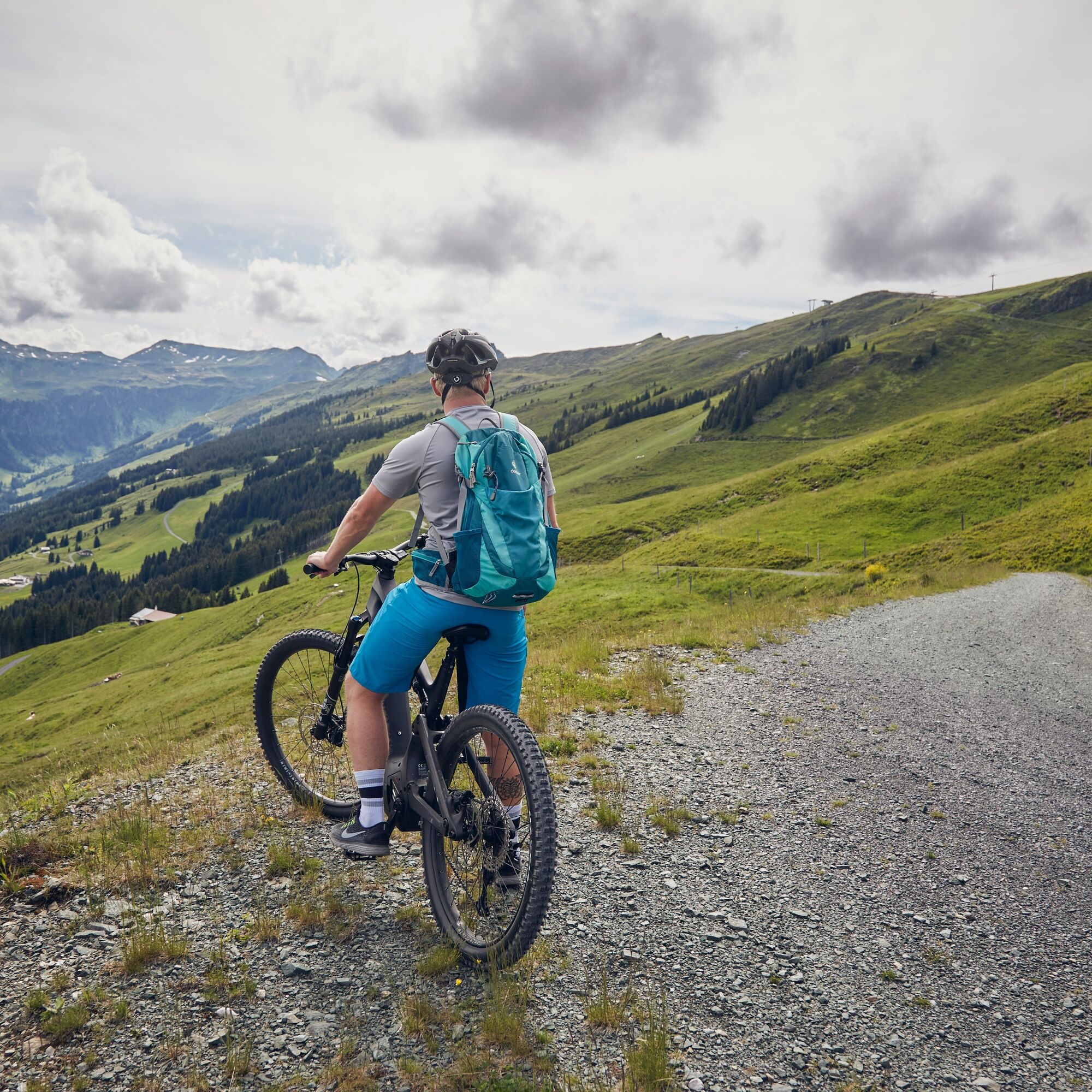
Heading towards the valley end, this route starts off leisurely before, after just under 1 km, crossing to the other side of the Saalach river where the first elevation gains await. The key here is to...
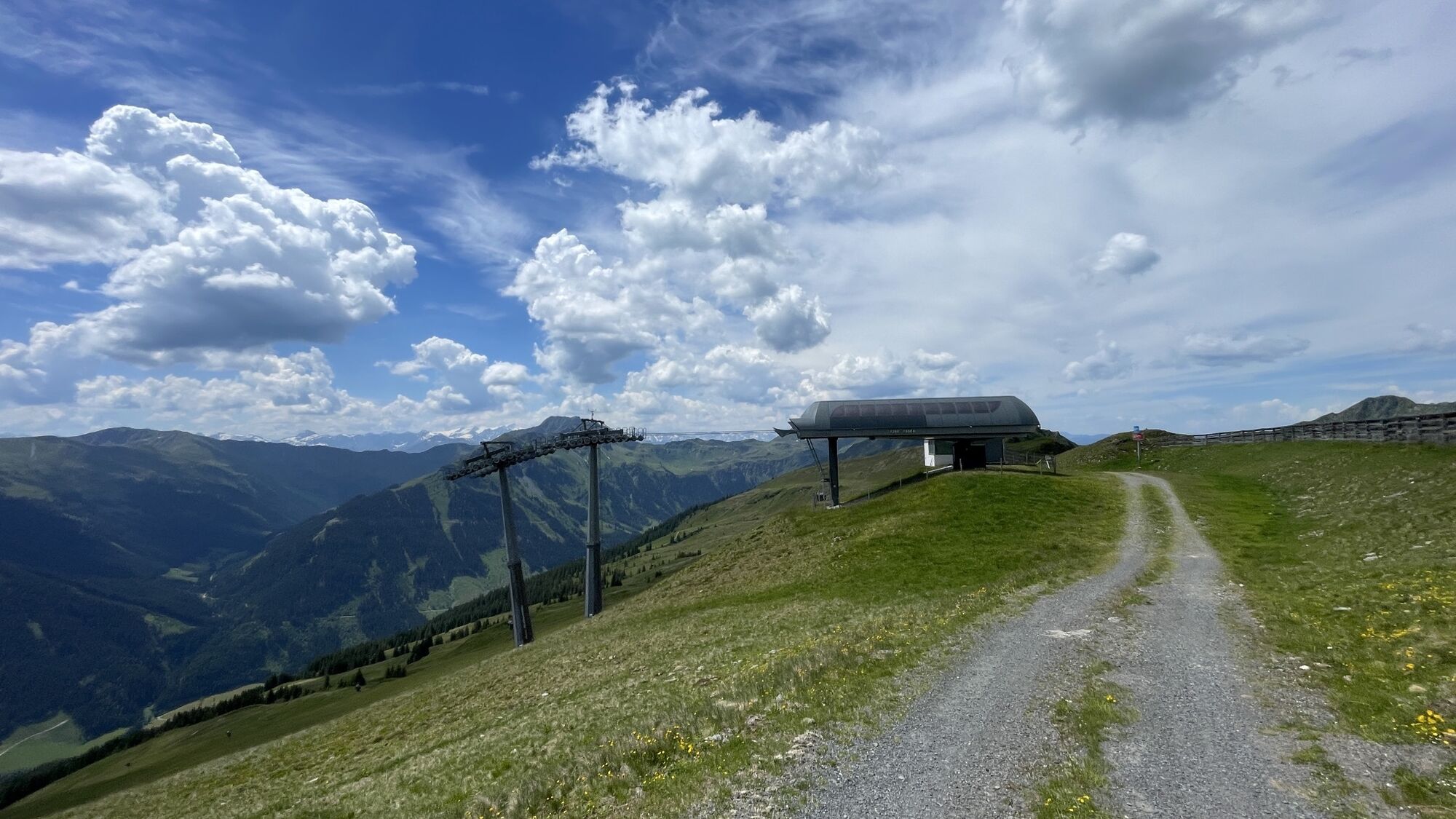
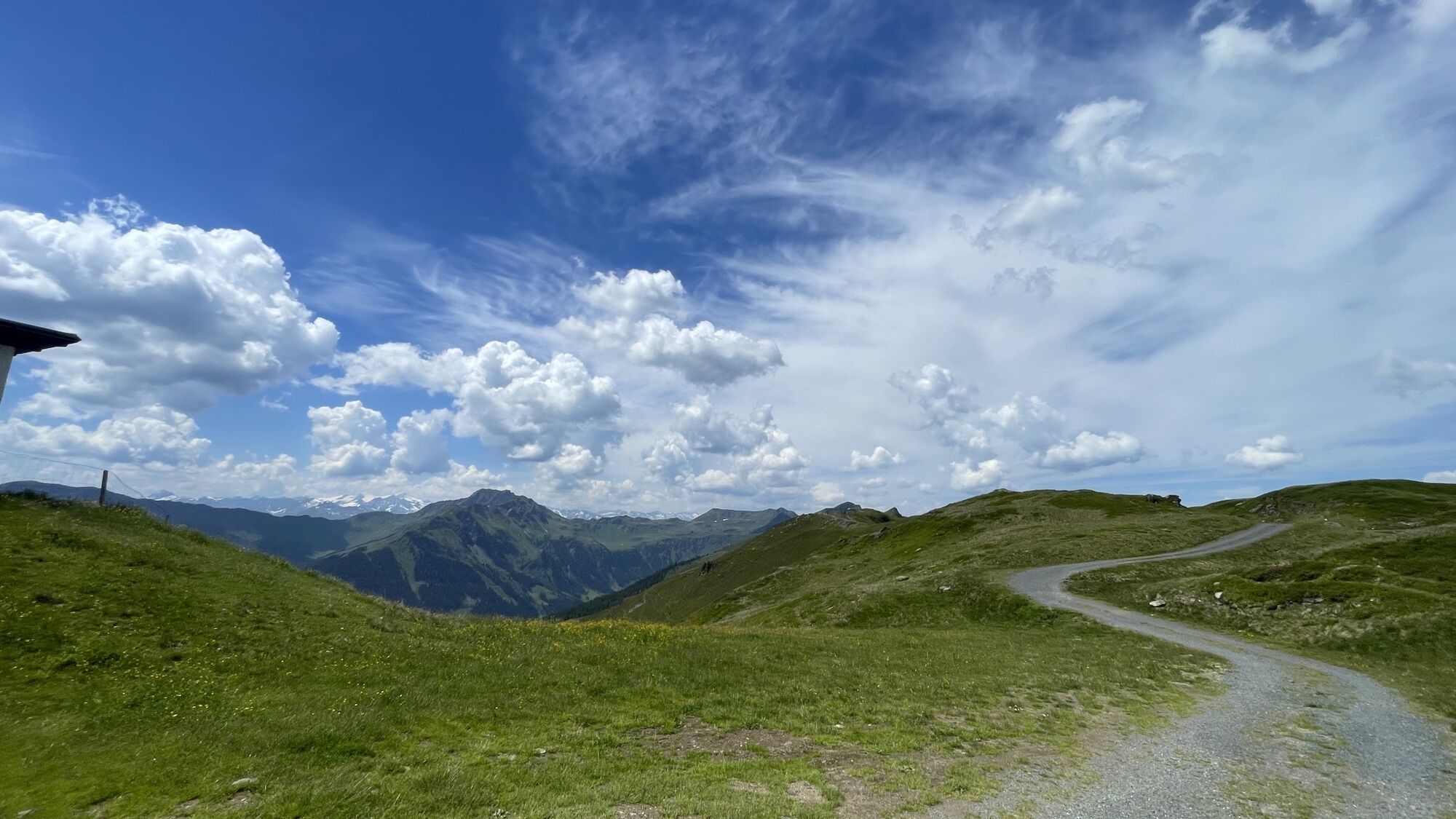
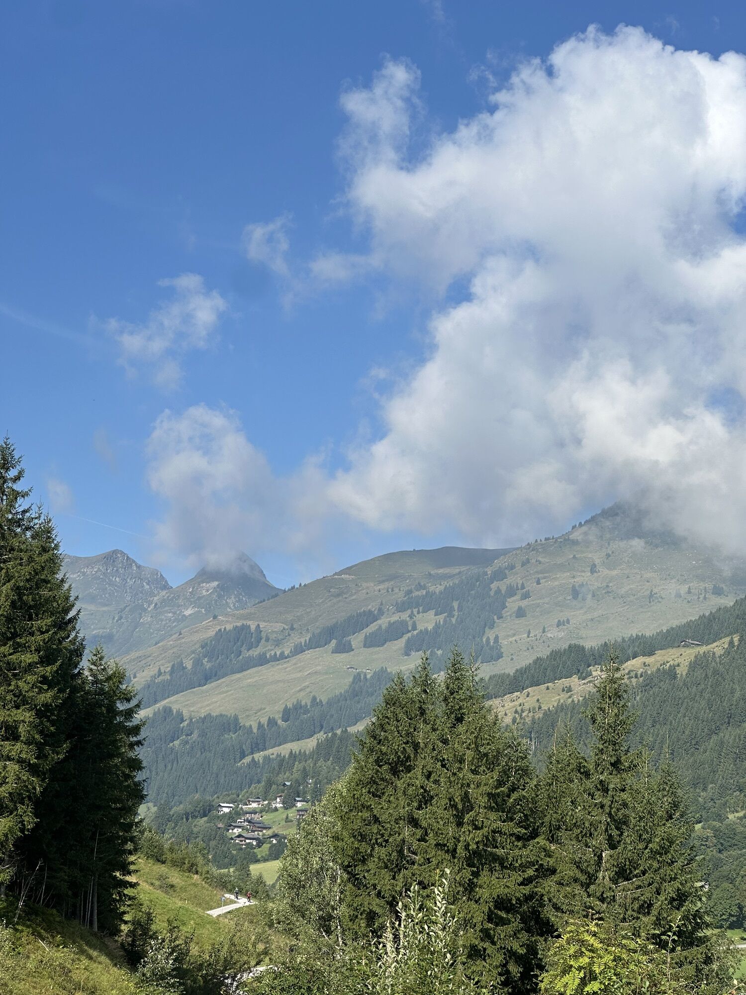
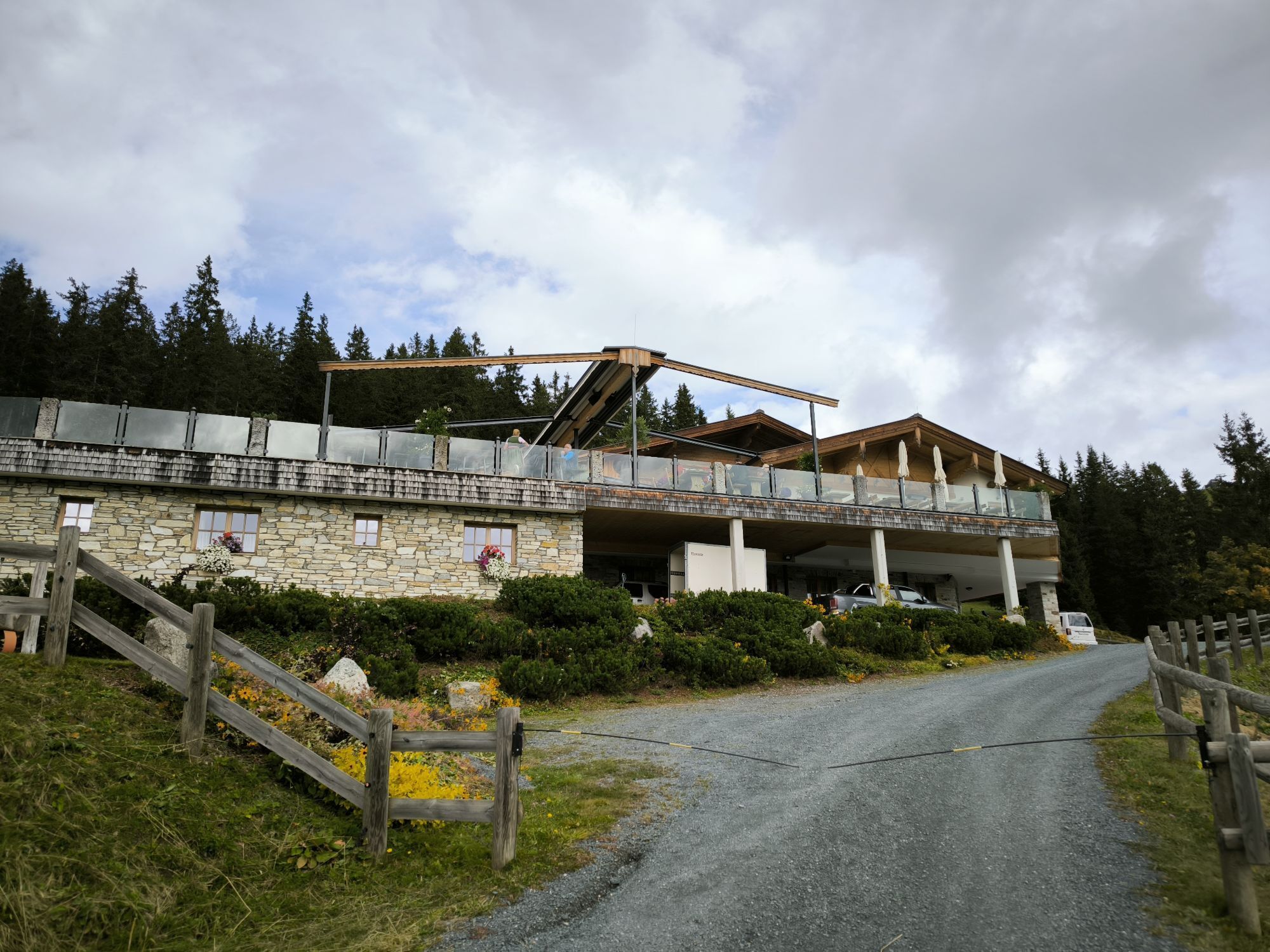
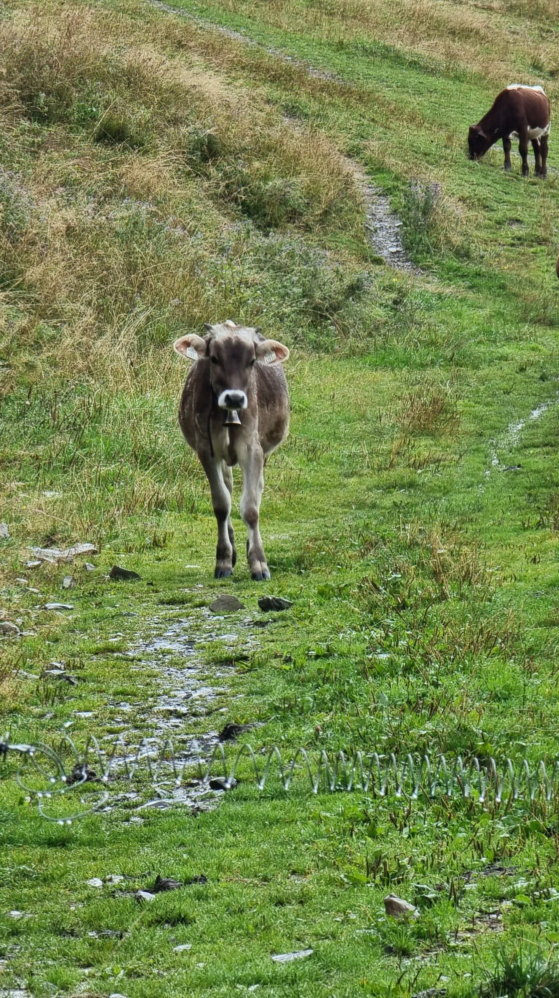
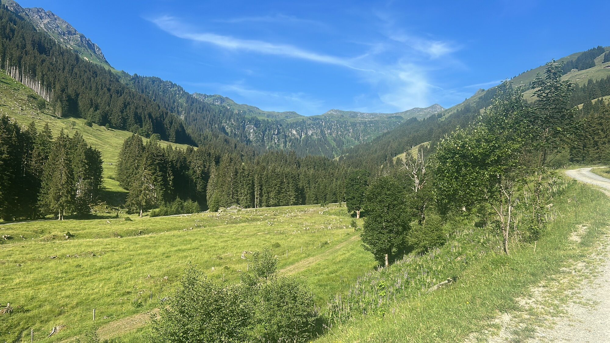
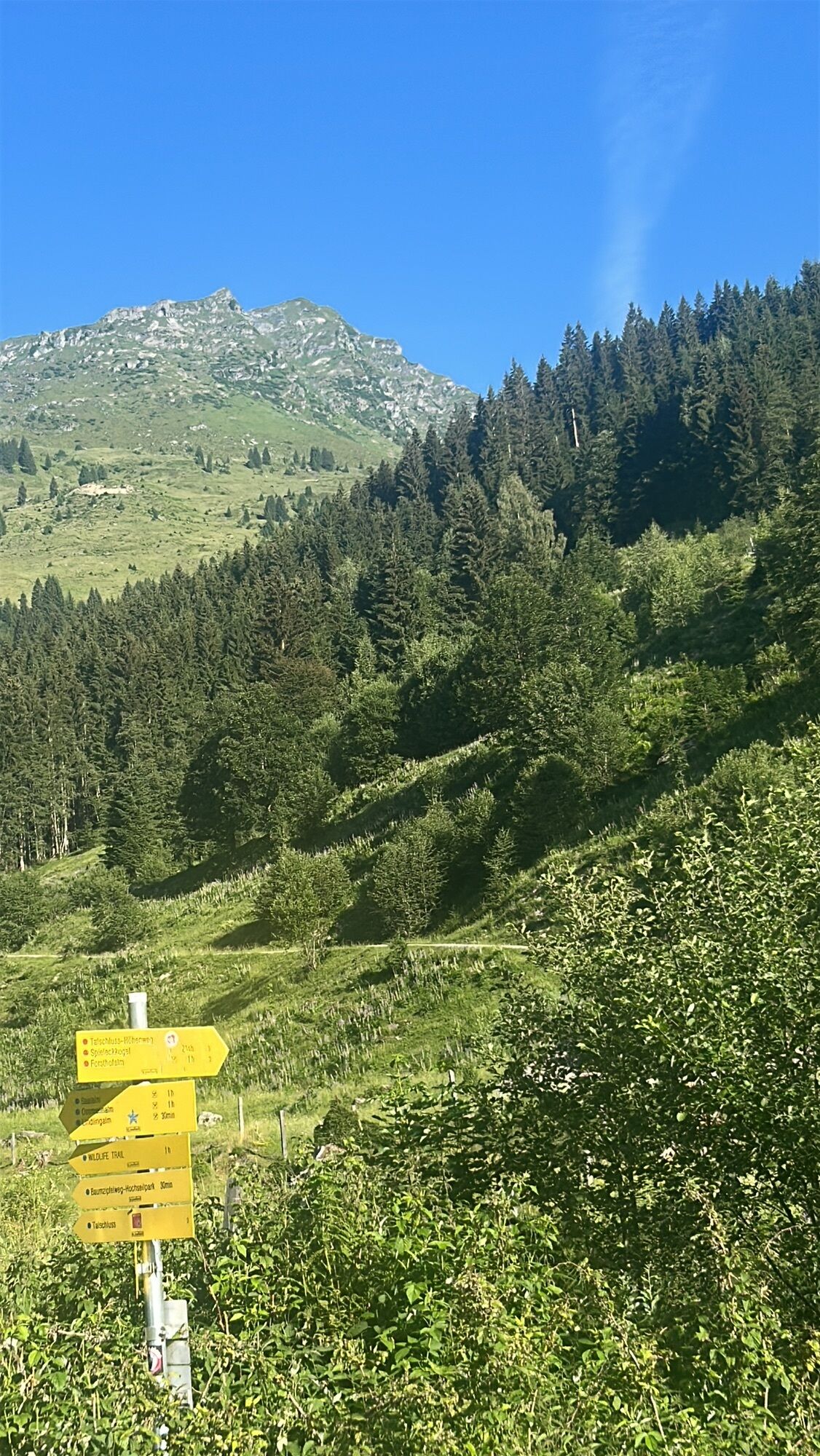
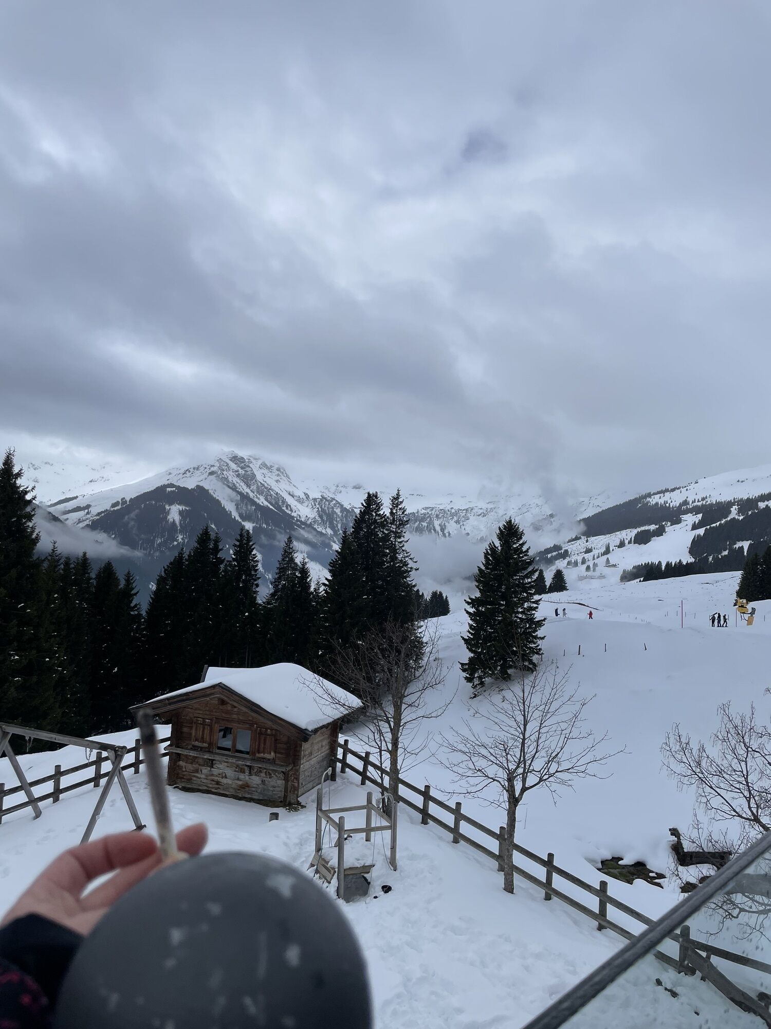
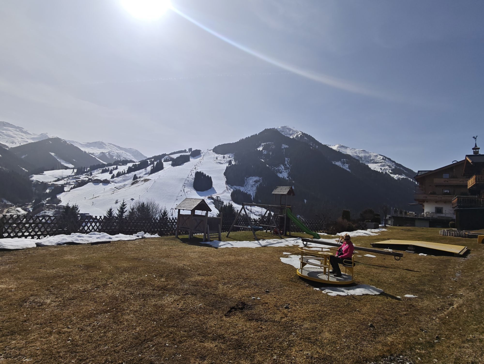
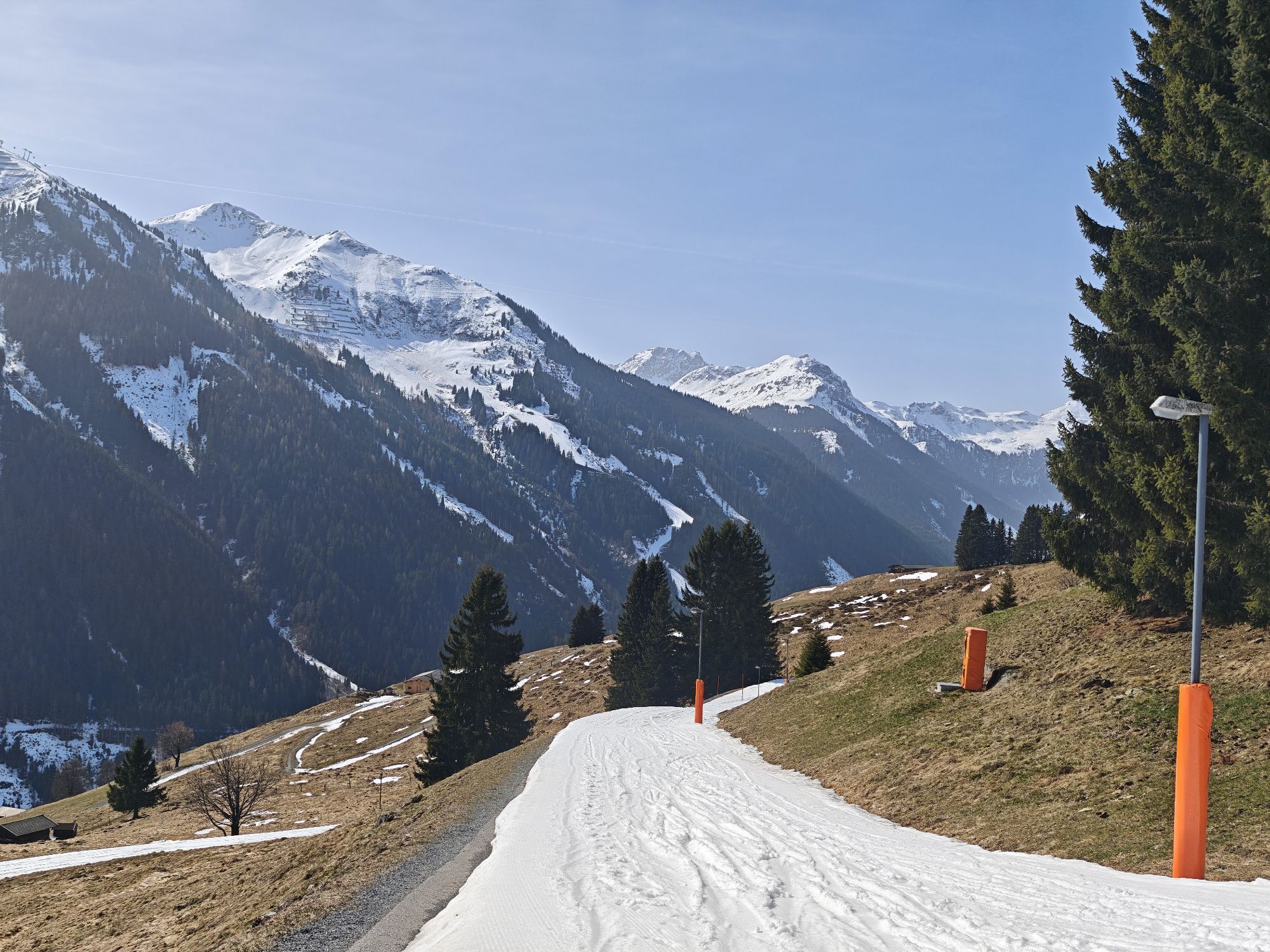
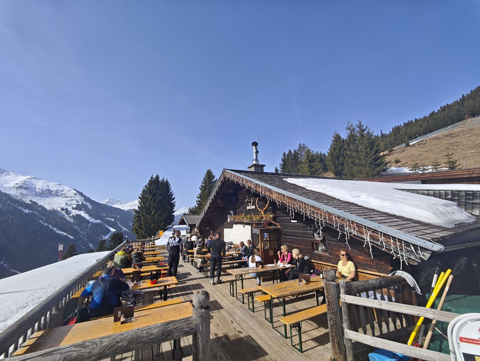
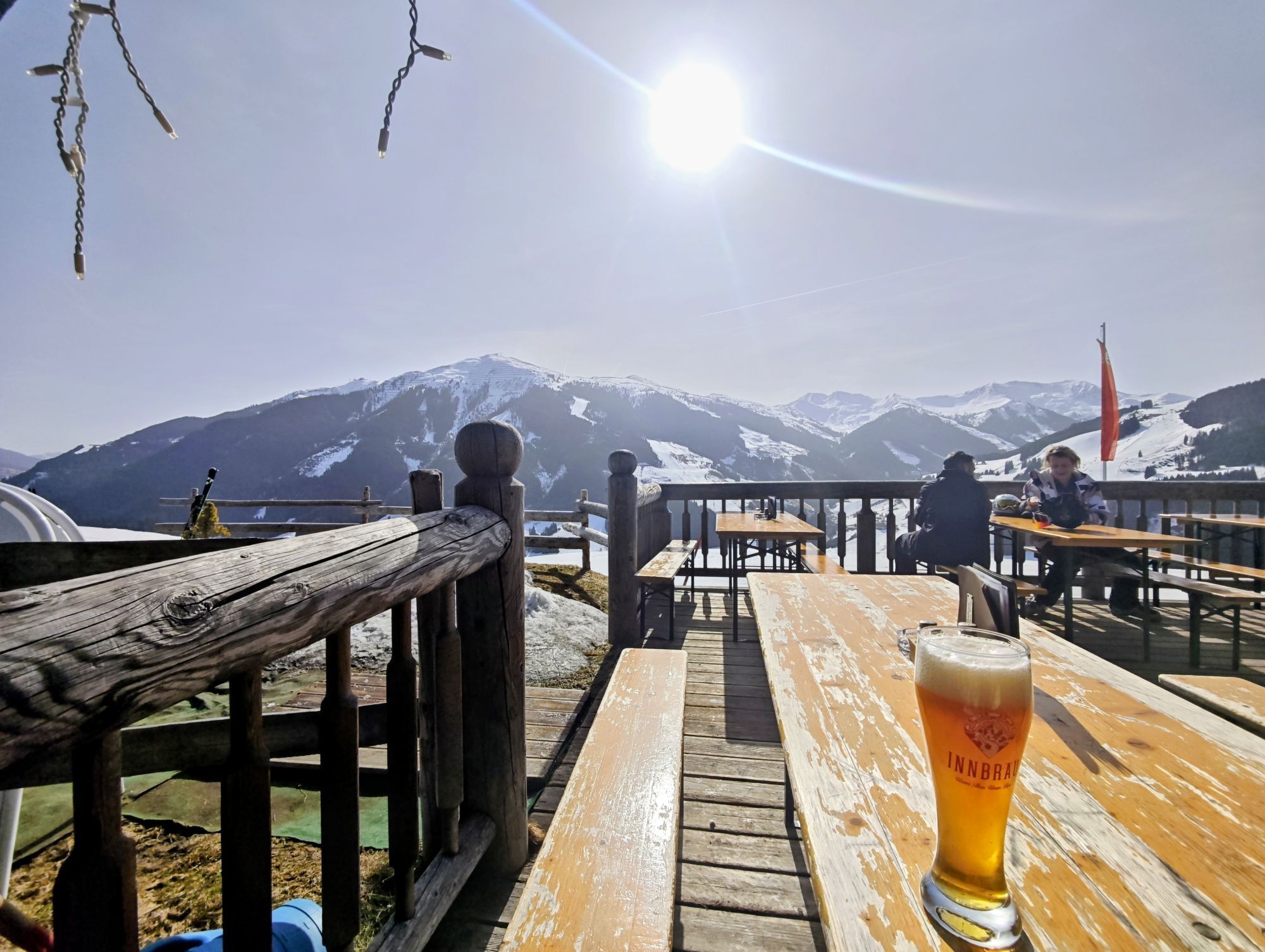
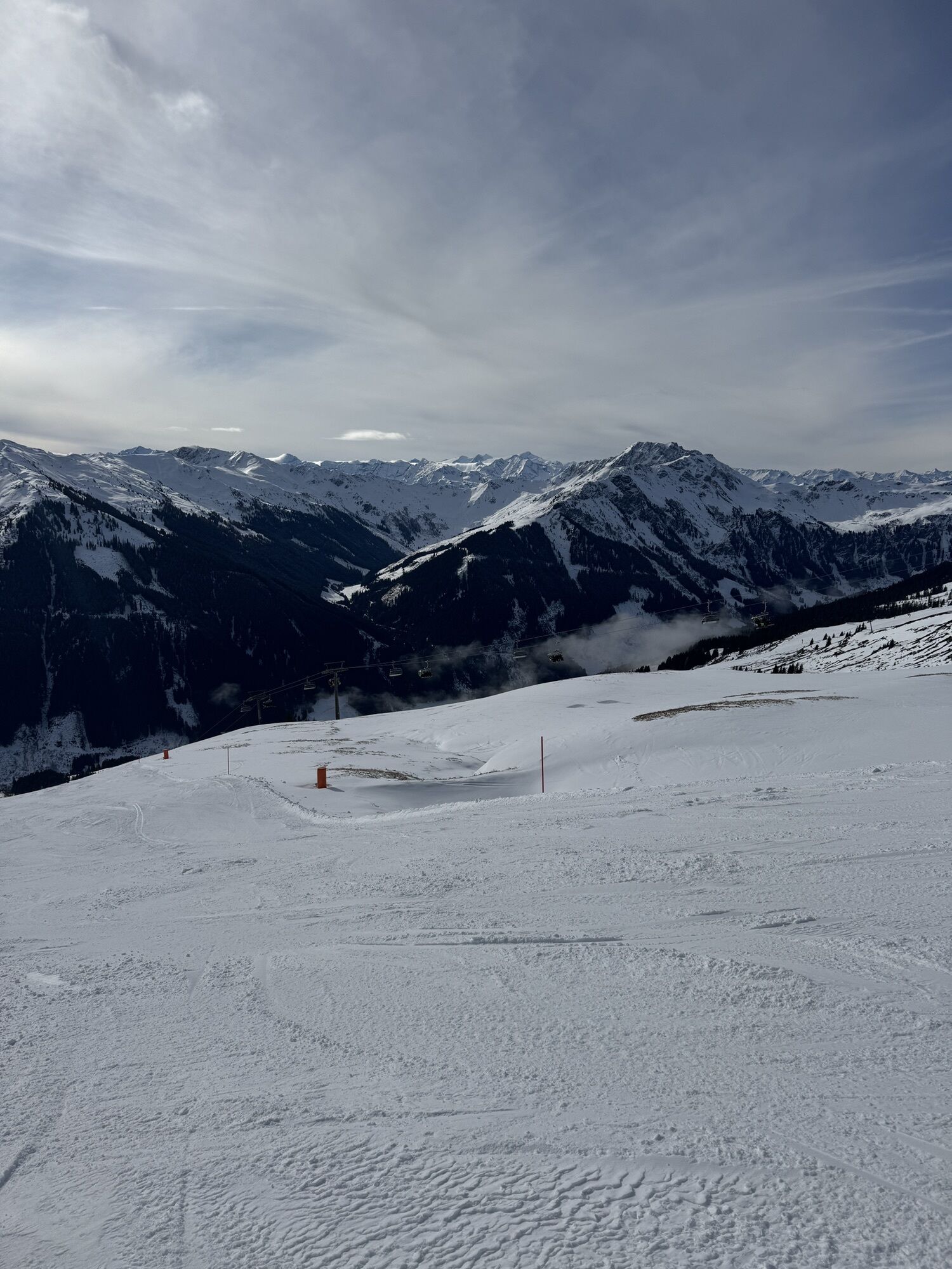
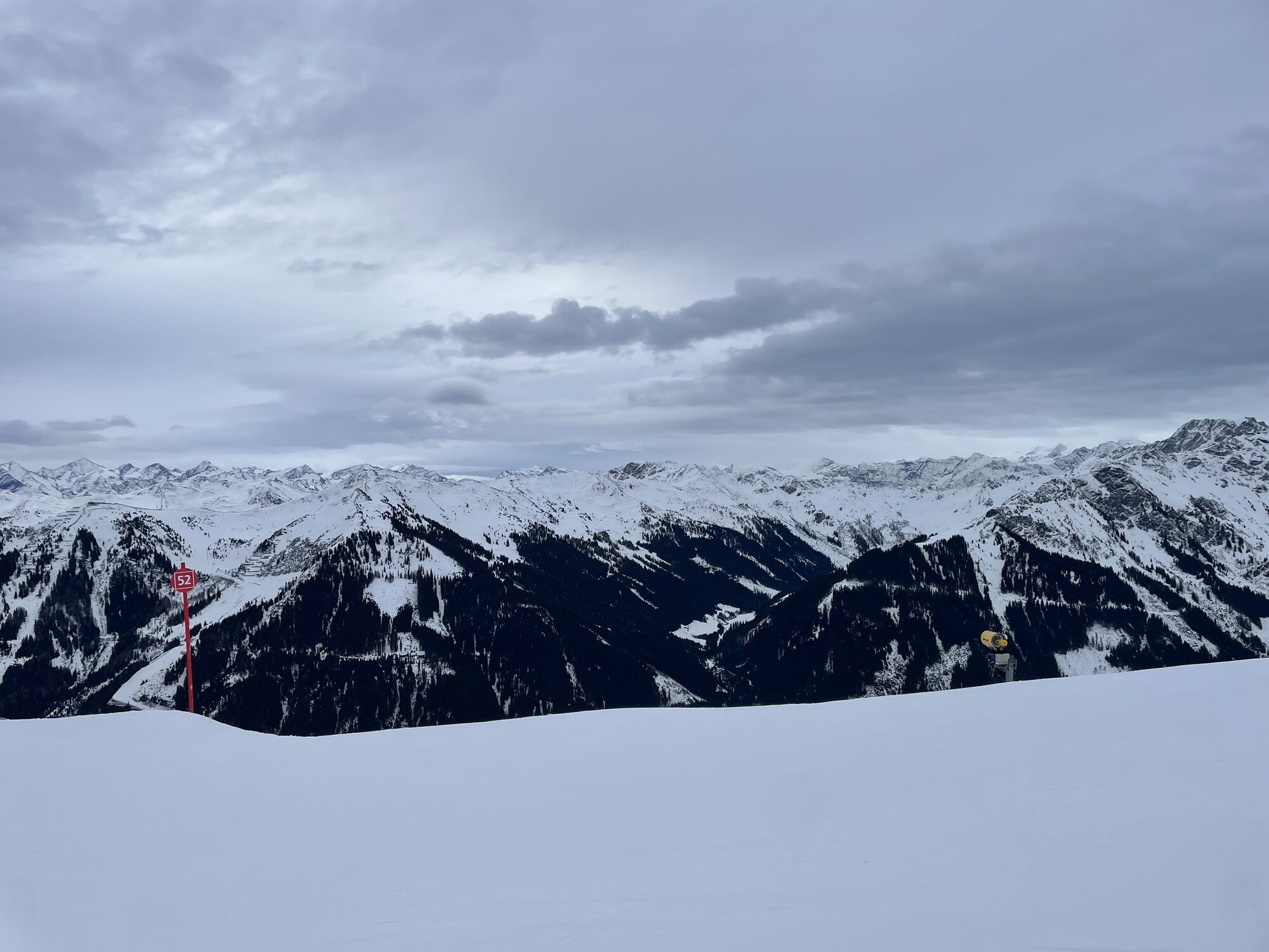
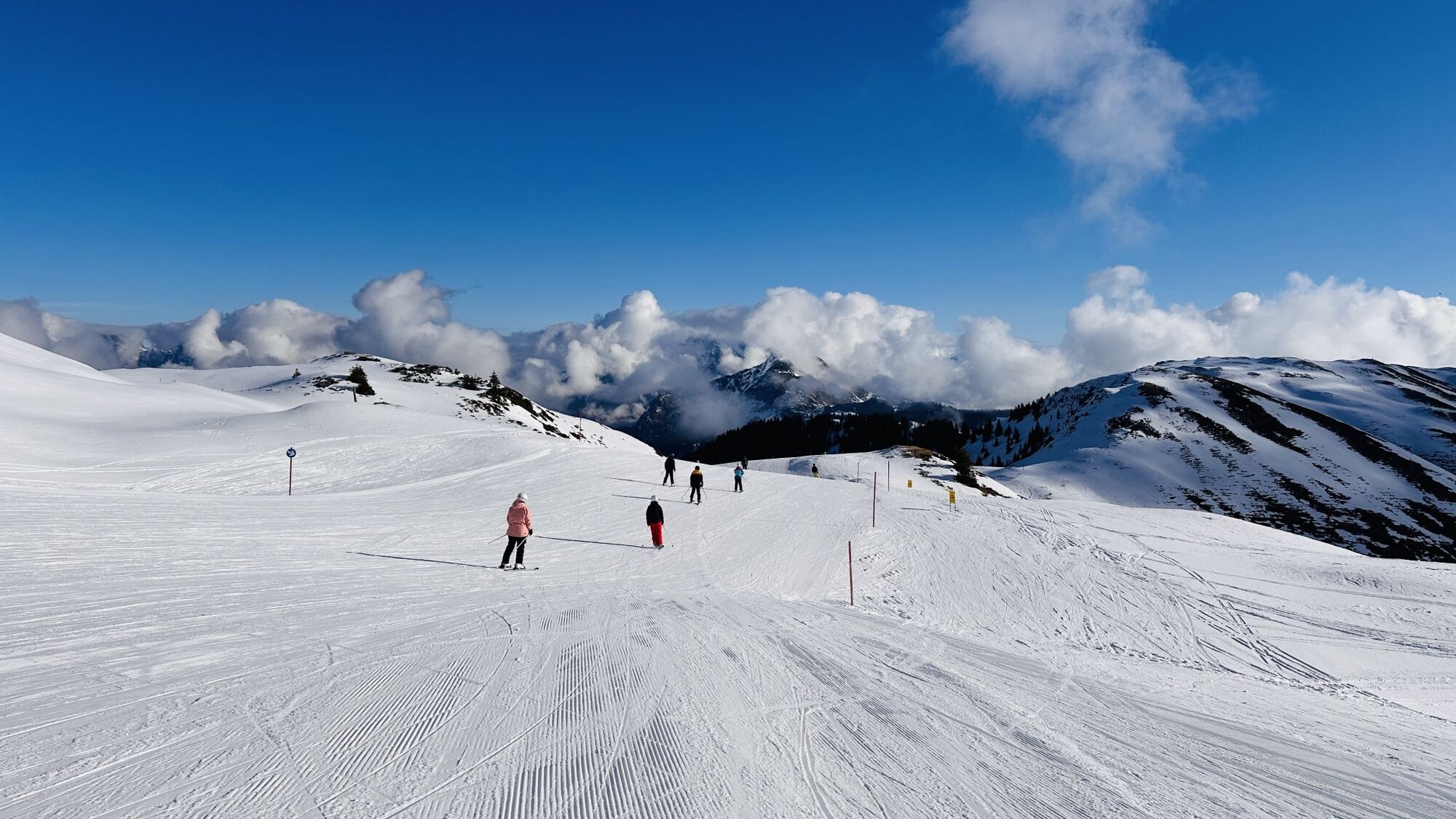
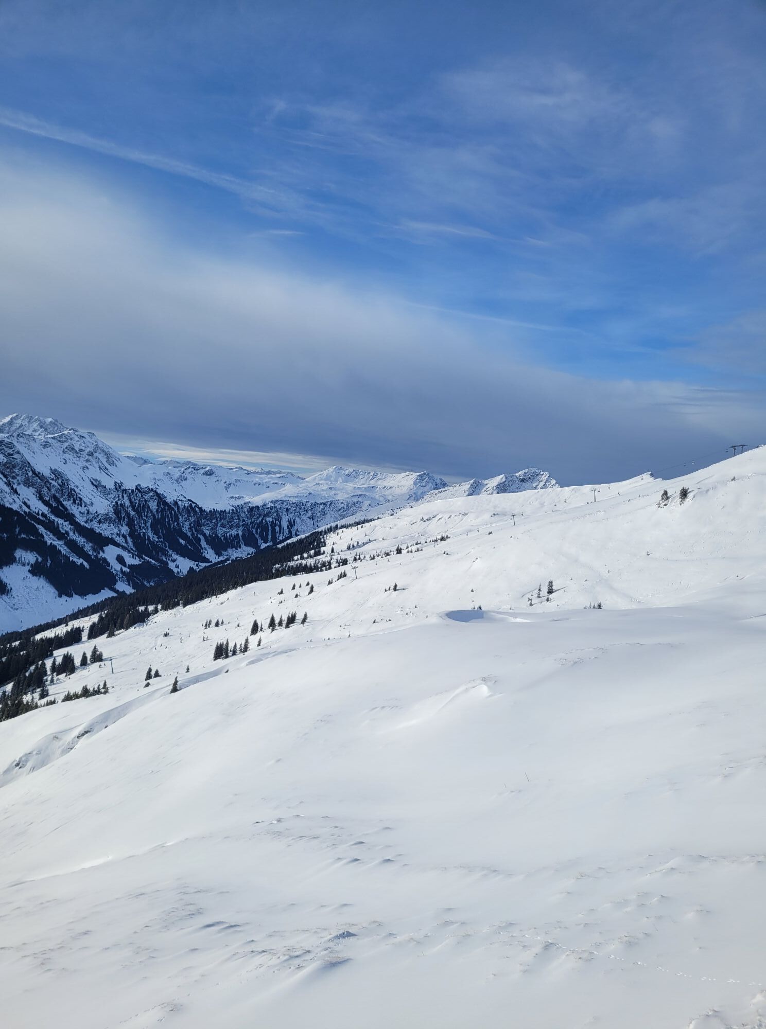
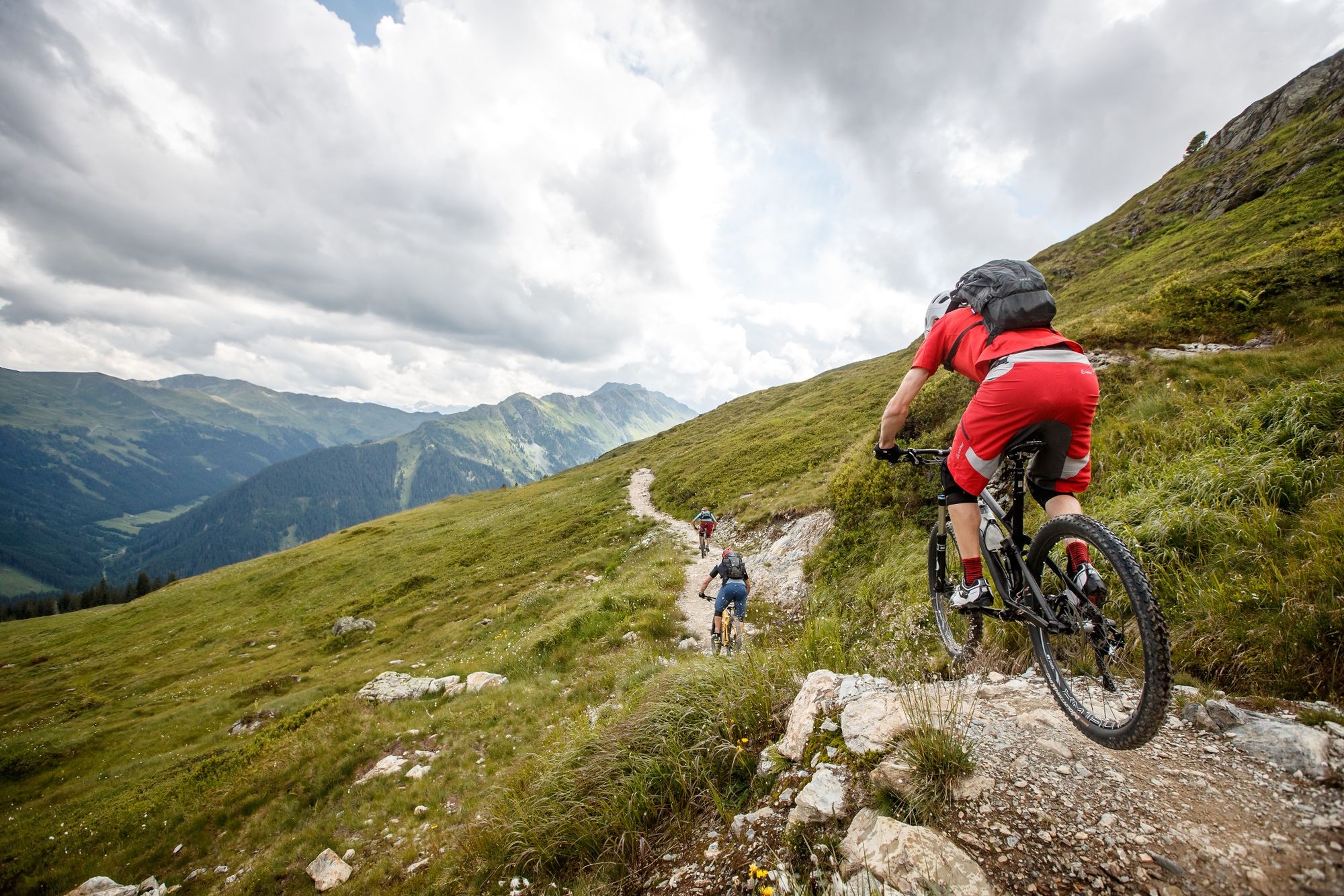
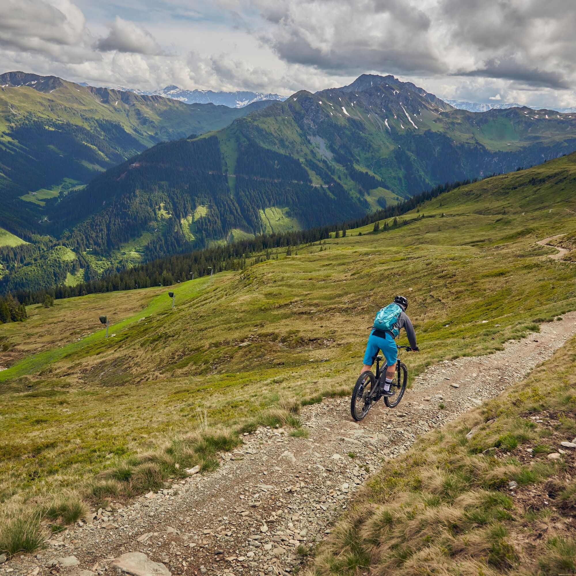
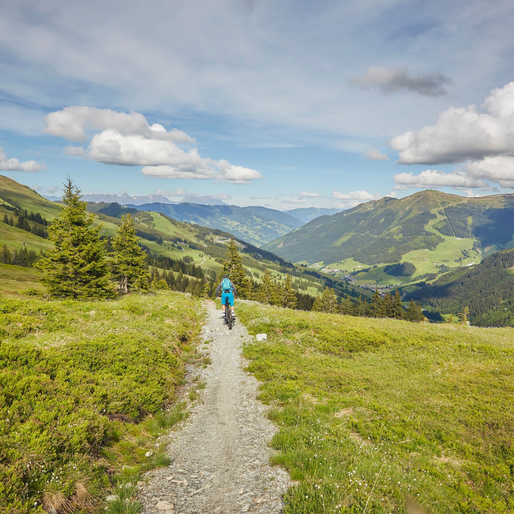
Heading towards the valley end, this route starts off leisurely before, after just under 1 km, crossing to the other side of the Saalach river where the first elevation gains await. The key here is to pace your strength properly, as the next nearly 900 m of elevation are challenging. Following a consistent incline, you stay on the forest road passing the Pfefferalm, Wieseralm, and Roßwaldhütte, which invite you to recharge at good intervals. Once you pass the Hochalm mountain station, located just a few meters below the Reichkendlkopf (1941 m), the uphill part is almost done and rewarded by a wide view over the Glemmtal valley. The now flowing Hochalm trail starting from the Spieleck mountain station offers a bath of emotions and lets you forget the previous exertion. The last downhill section follows the forest path towards the valley end, then runs parallel with the Forsthofalm-Runde route (SH06) on the Glemmtal cycle path back to the starting point Hinterglemm.

Áno
Áno
Áno
S2
Download the route as a single map HERE!
Webové kamery z prehliadky
-
Schattberg - West
-
Schattberg Westgipfel
-
Hinterglemm Dorf
-
Kohlmais Tal
-
Reckmoos
-
Hinterglemm - Saalbach
-
Saalbach-Hinterglemm - Schattberg Ost
-
Saalbach-Hinterglemm - Zwölferkogel
-
Saalbach - Hotel Alpinresort
-
Zwölferkogel
-
Martenhof
-
Wohlfühlhotel-Johanneshof
-
Eberharthof - Saalbach-Hinterglemm
-
Hochalm Mittelstation
-
Hochalm Mittelstation
Obľúbené výlety v okolí
-
4,9
Streif Wanderweg
strednáTuristika 5,73 km -
4,0
Maurerkogel (Top)
Turistika 10,5 km -
4,5
Kitzbüheler Horn über Horn-Gipfel-Höhenweg
strednáTematická trasa 5,30 km -
4,0
Berg der Sinne
svetloTuristika 4,39 km -
5,0
Panorama route 3 peaks and 2 lakes
strednáTuristika 7,21 km -
5,0
Leo’s play hiking trail
svetloTematická trasa 4,89 km -
4,7
Tristkogel
ťažkéTuristika 15,6 km -
4,5
Kitz Bhf- Kitzbühler Horn und zurück zum Alpenhaus
strednáTuristika 11,8 km -
5,0
10D Hochsonnbergrunde
strednáMountainbike 26,4 km -
4,9
Manlitzkogel
ťažkéTuristika 13,4 km
Turistika a stopovanie


Nenechajte si ujsť ponuky a inšpiráciu na ďalšiu dovolenku
Vaša e-mailová adresa bol pridaný do poštového zoznamu.