







Radstadt-Rossbrand loop (SW 13)

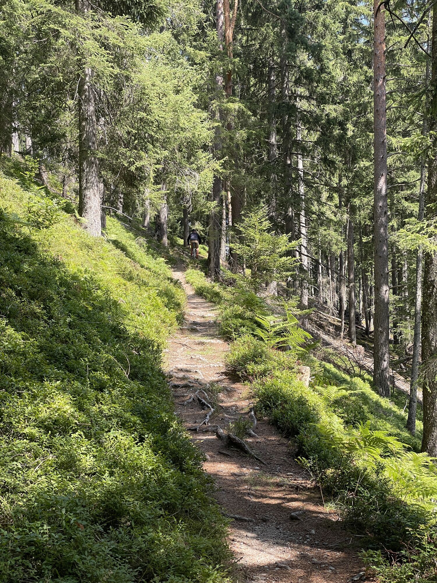
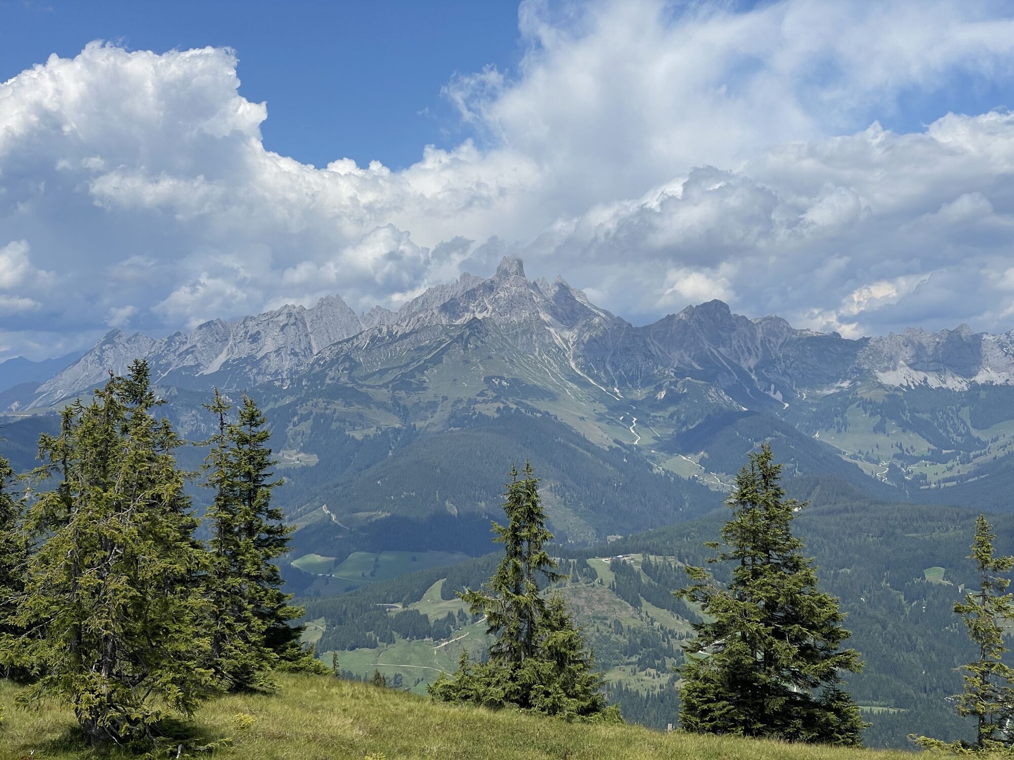
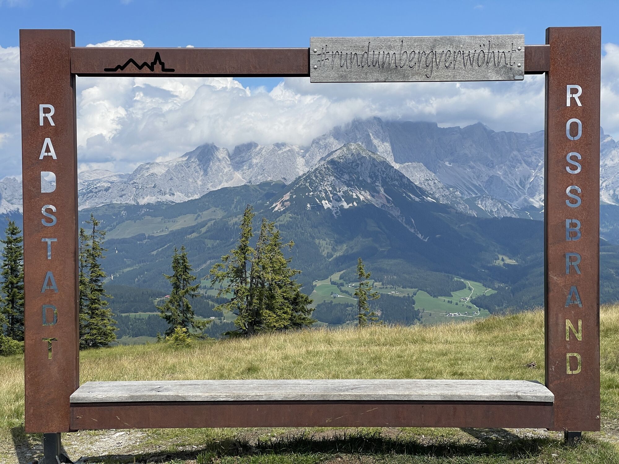
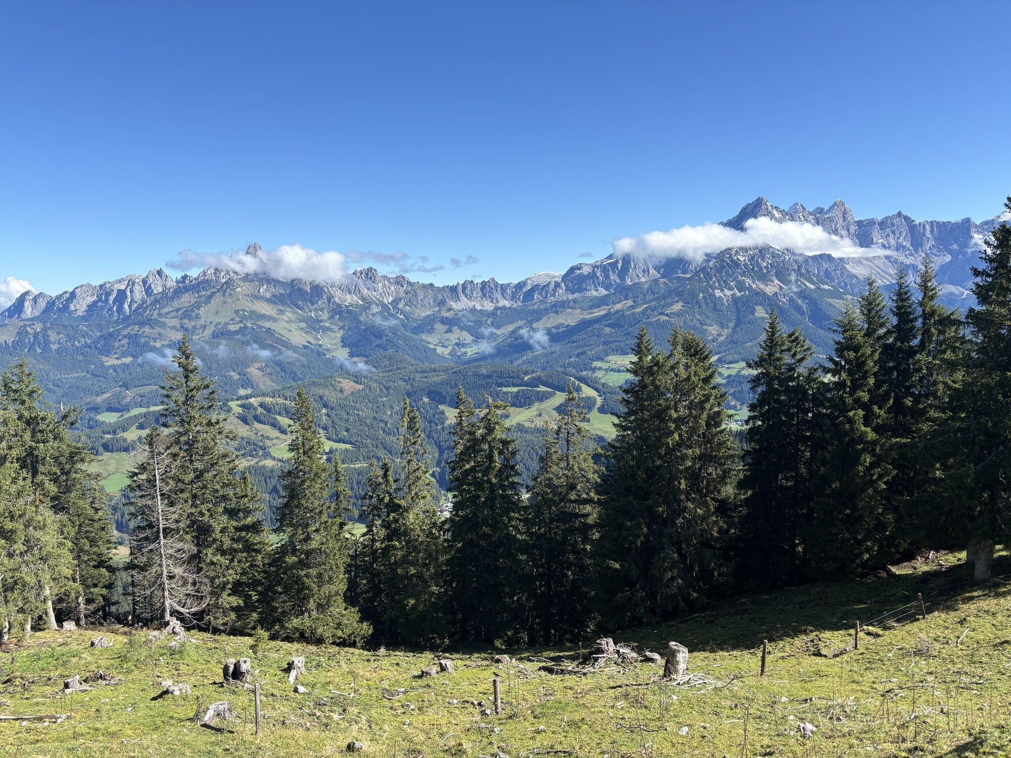
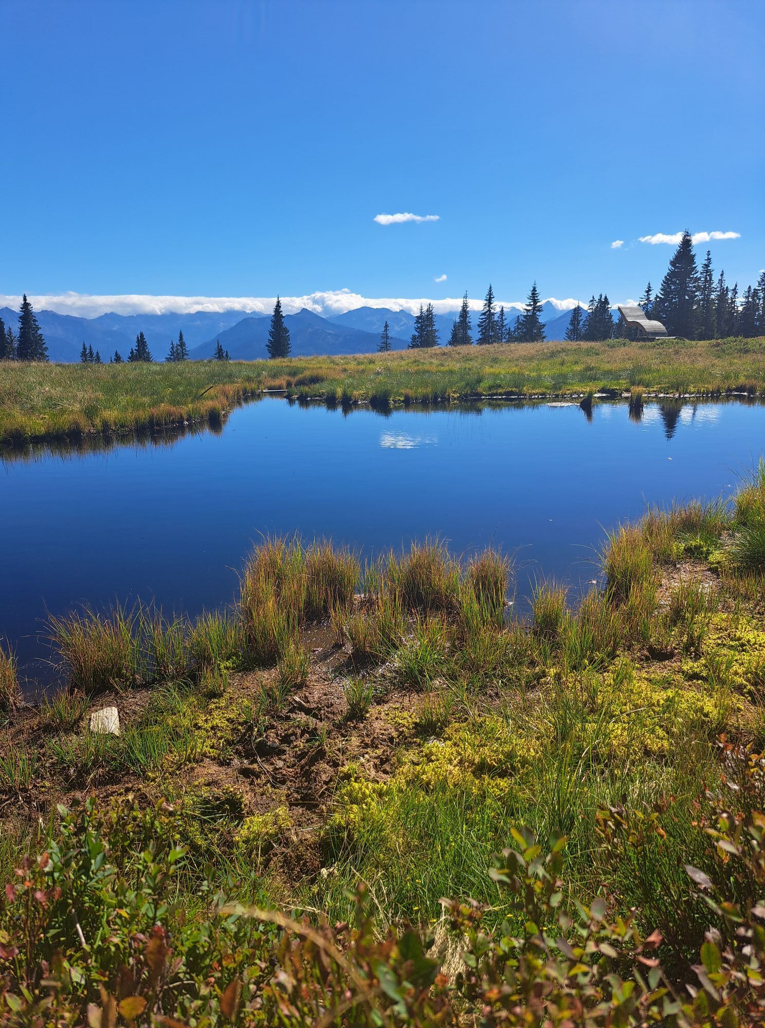
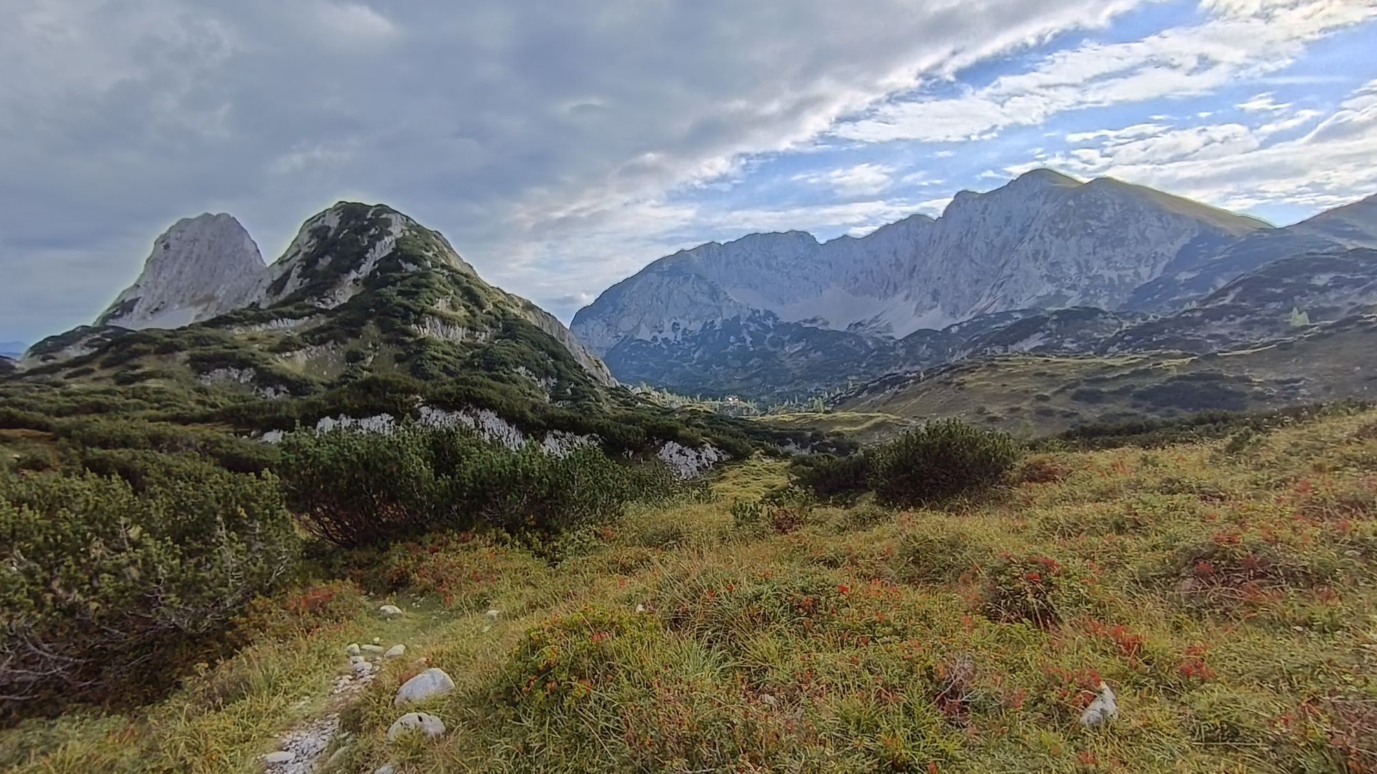
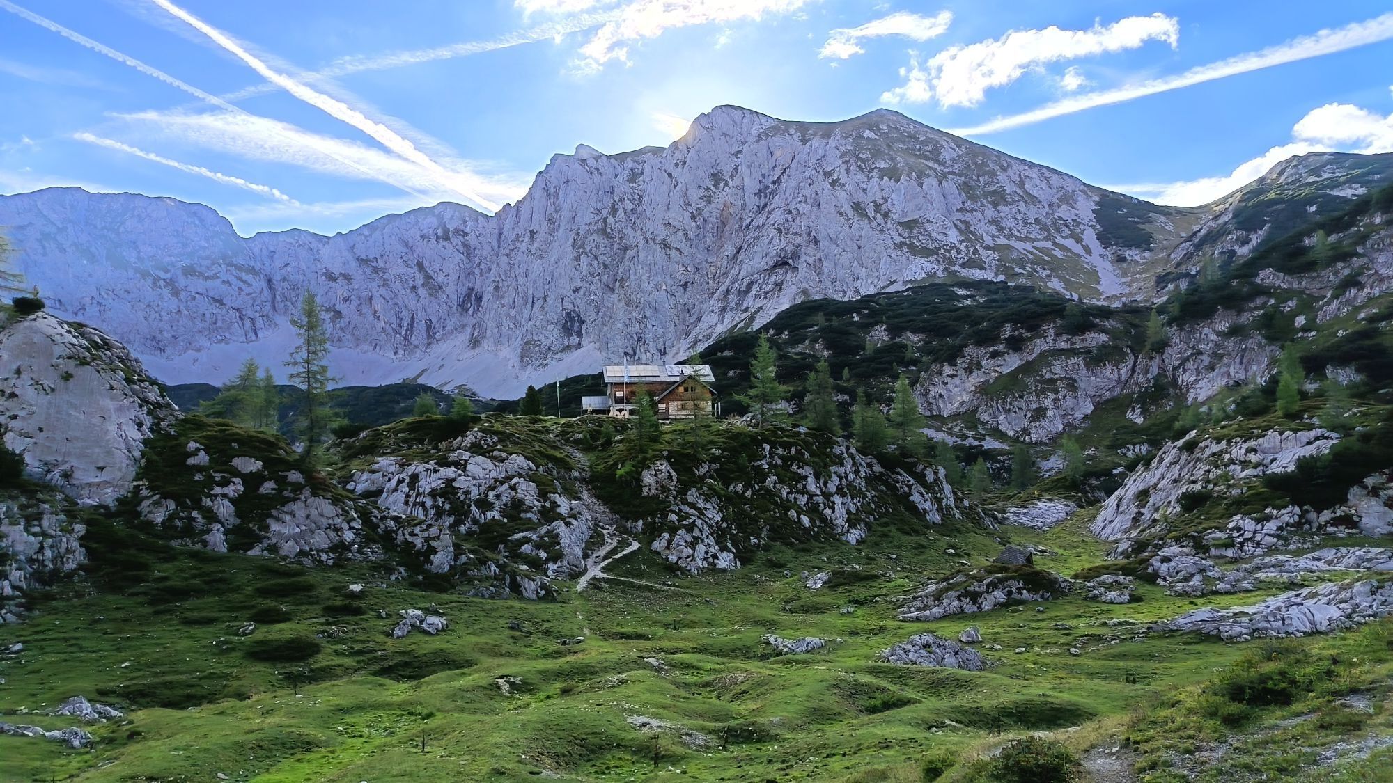
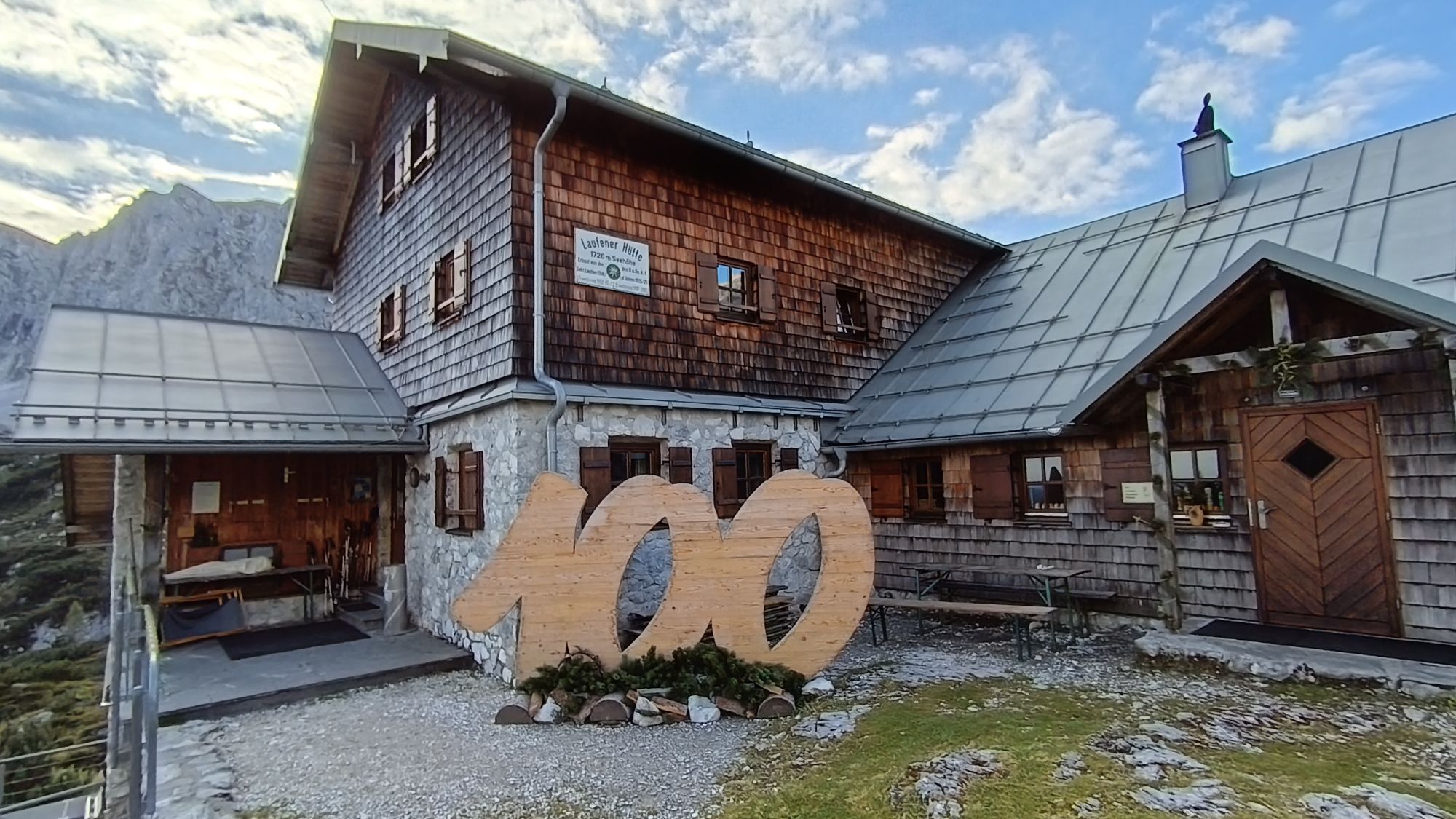
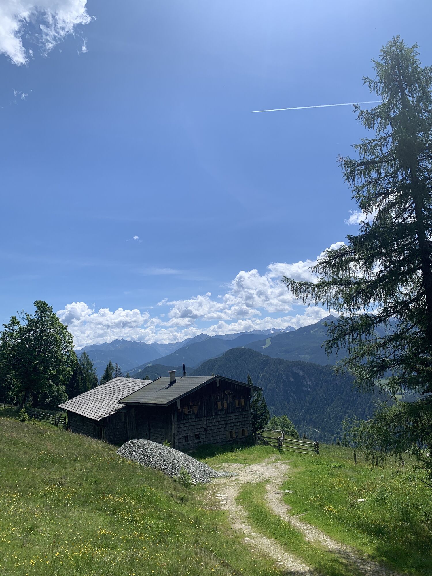
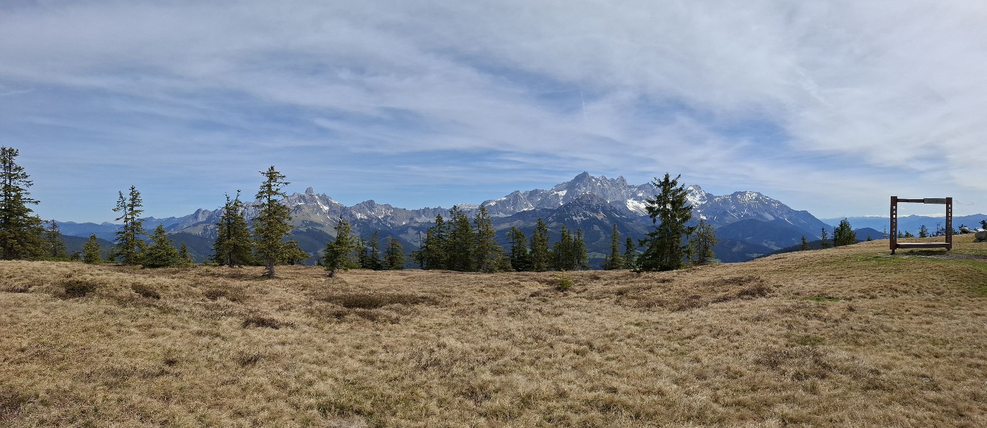
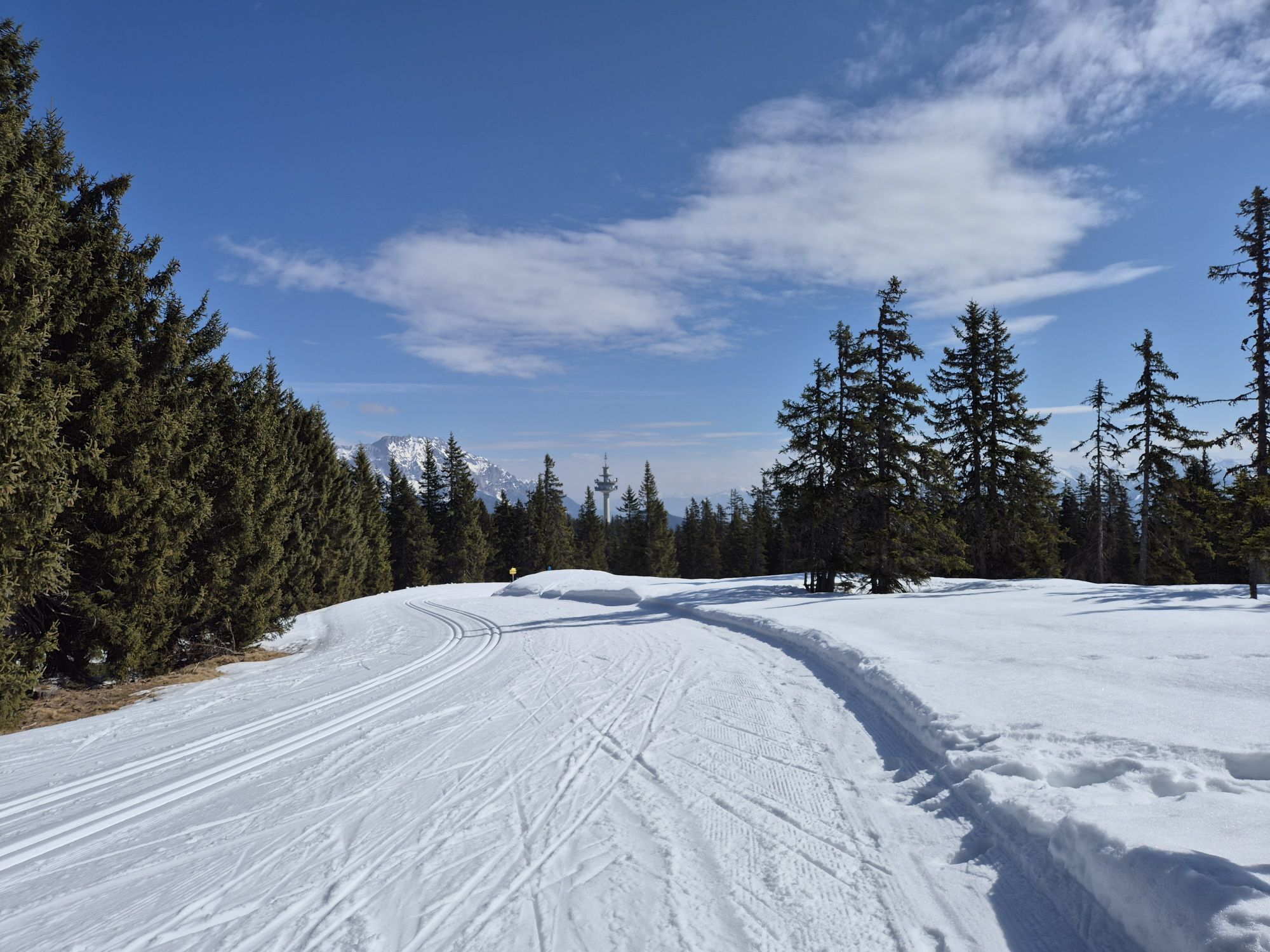
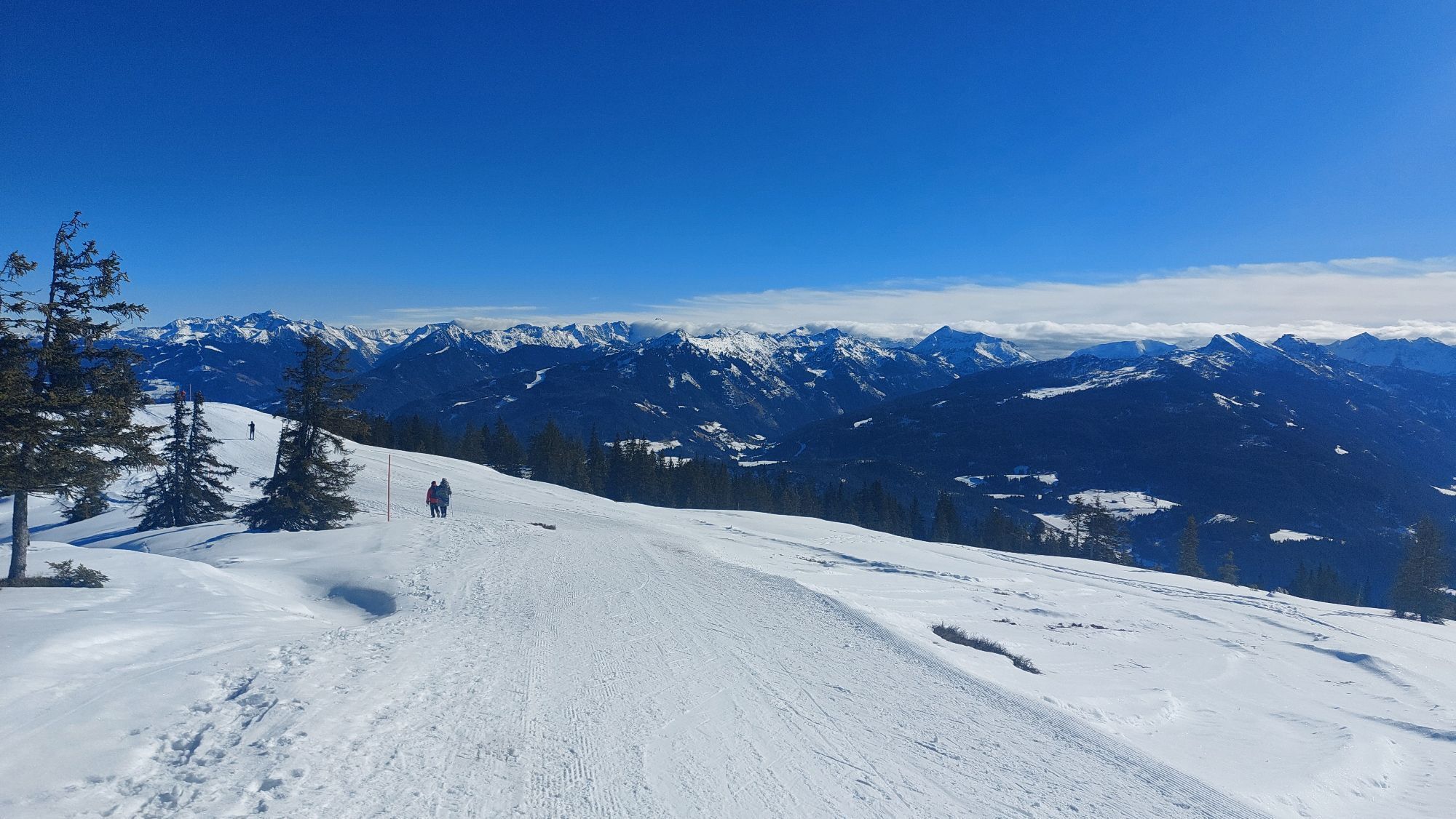
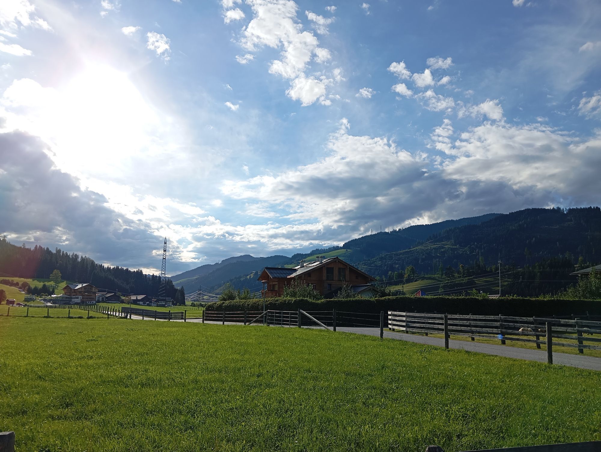
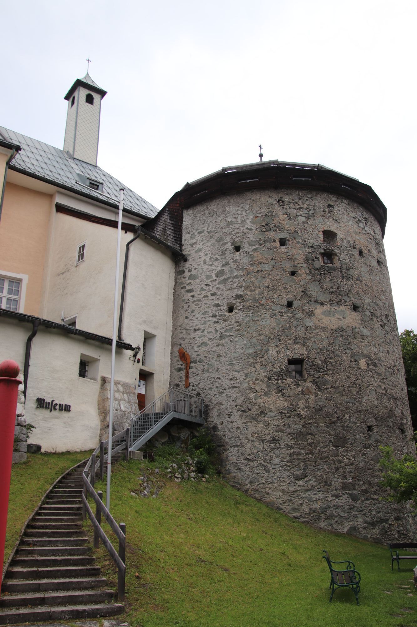
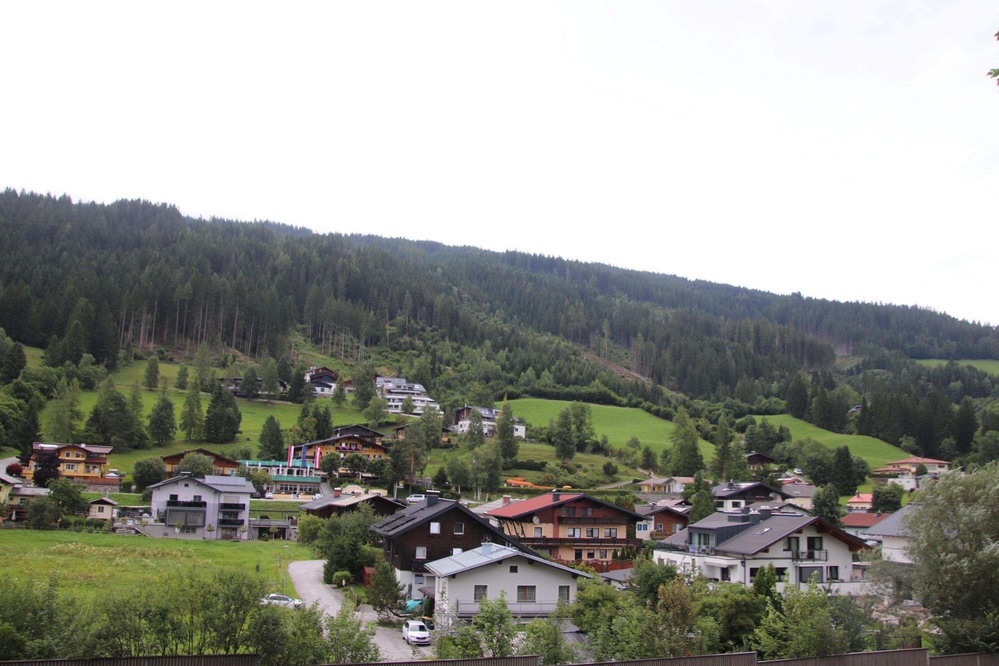
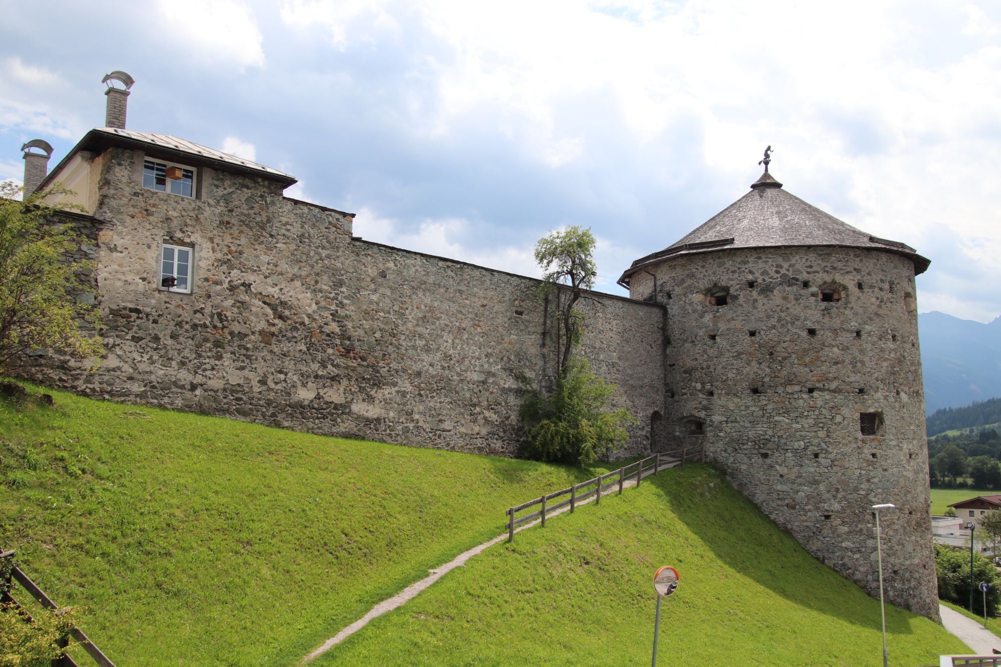
We start the route in the center of Flachau. Along the Enns bike path, we continue to Radstadt. From there we go via a long paved road to Rossbrand, up to the summit of the Radstadt local mountain. Not...
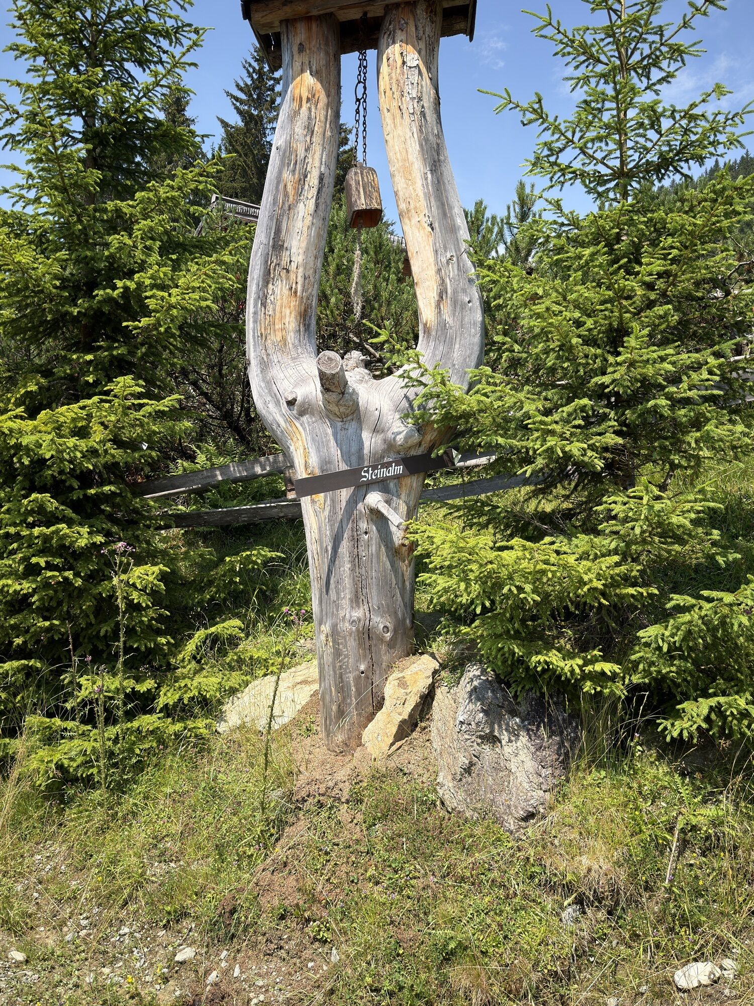
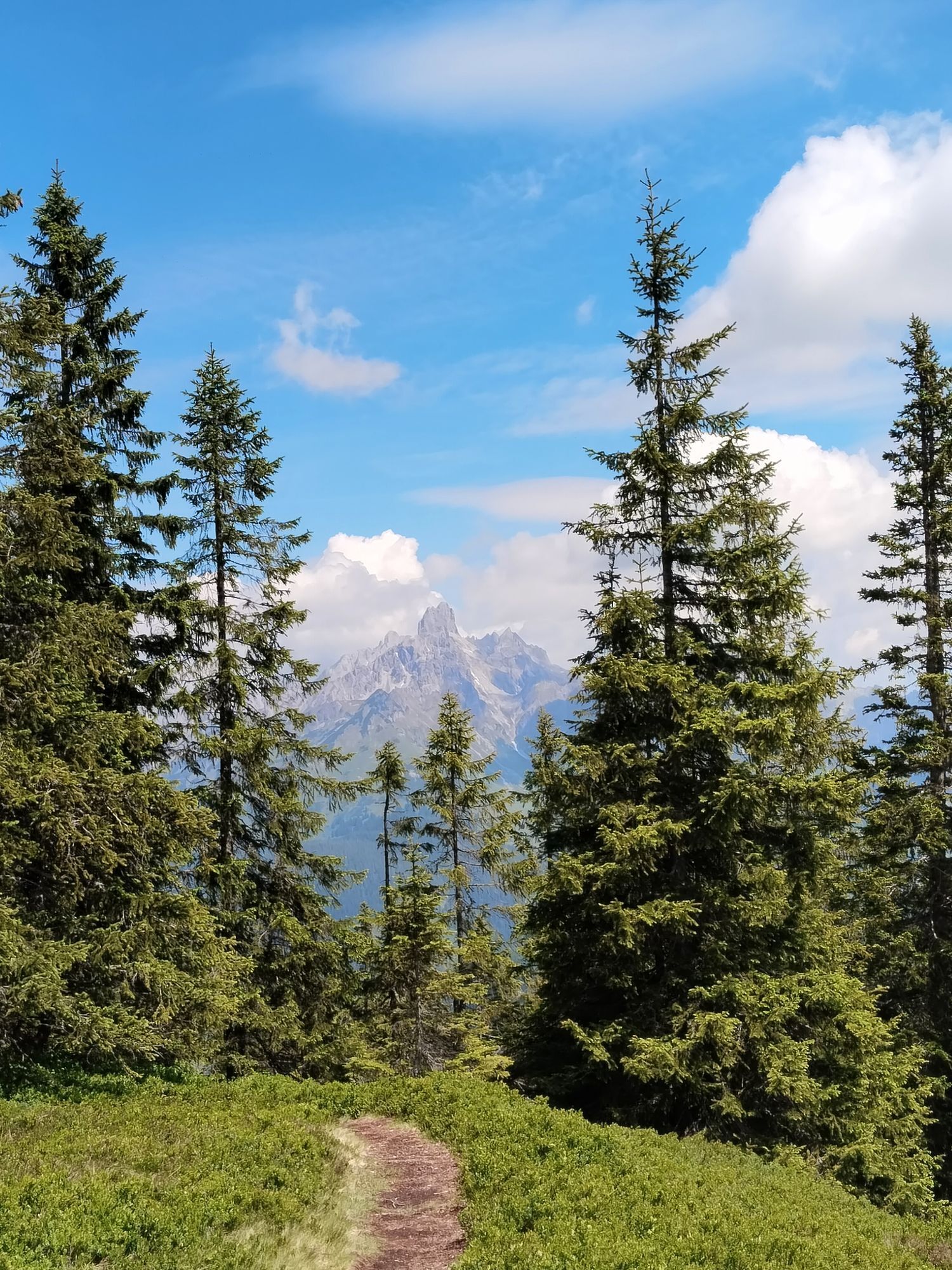
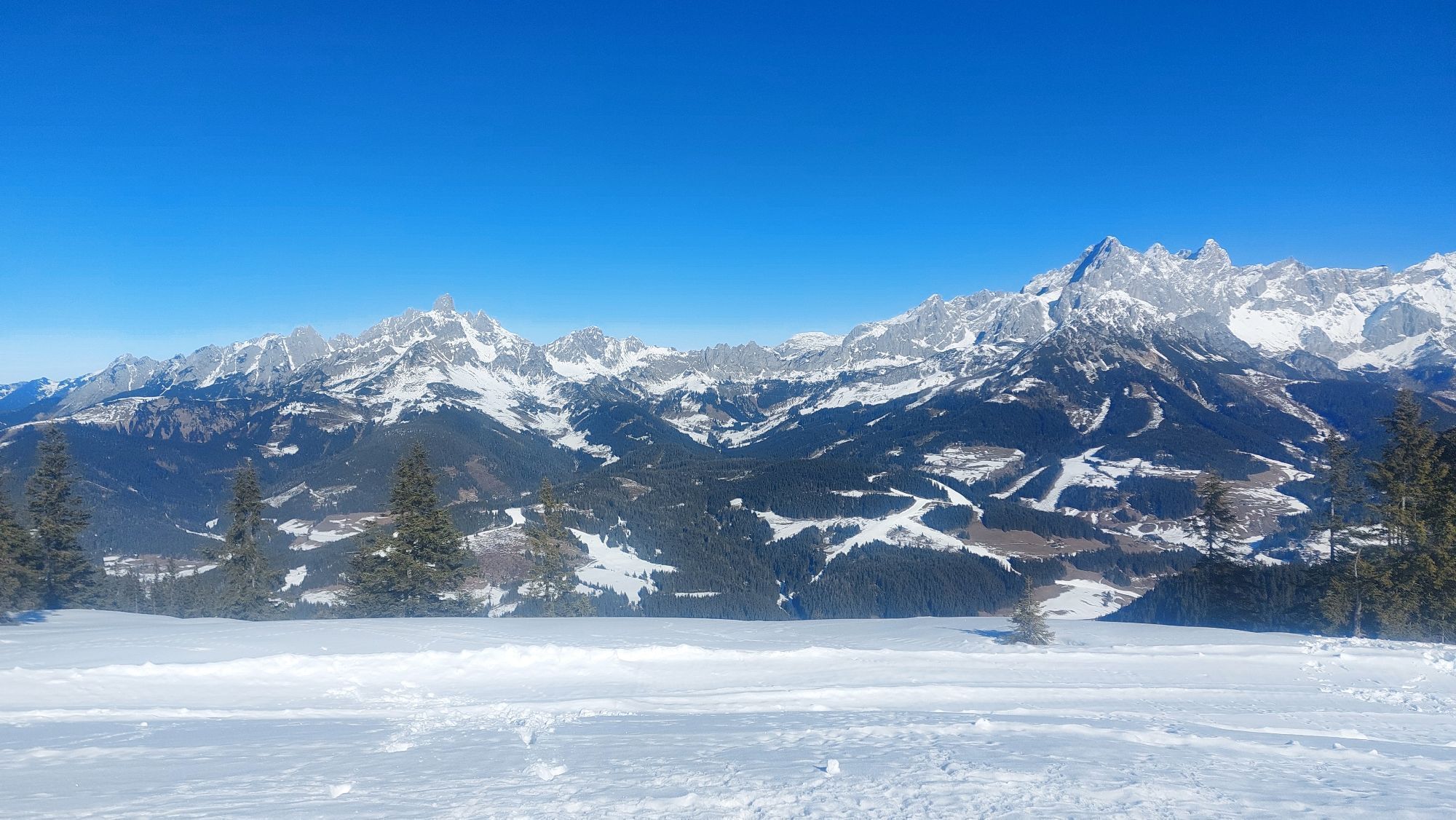
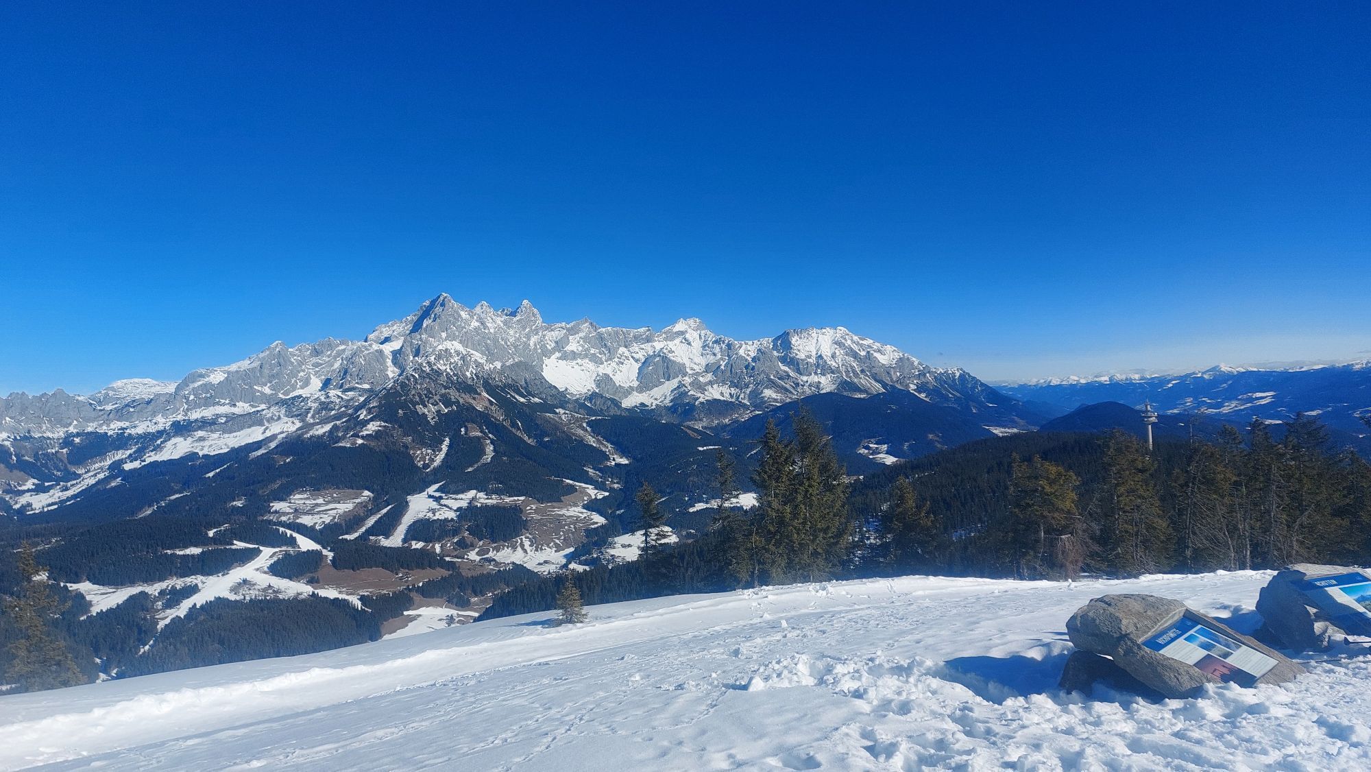
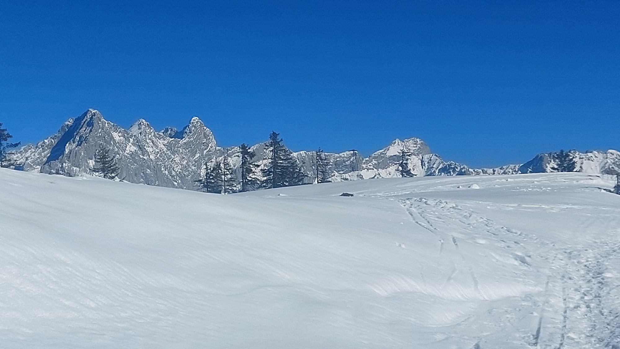
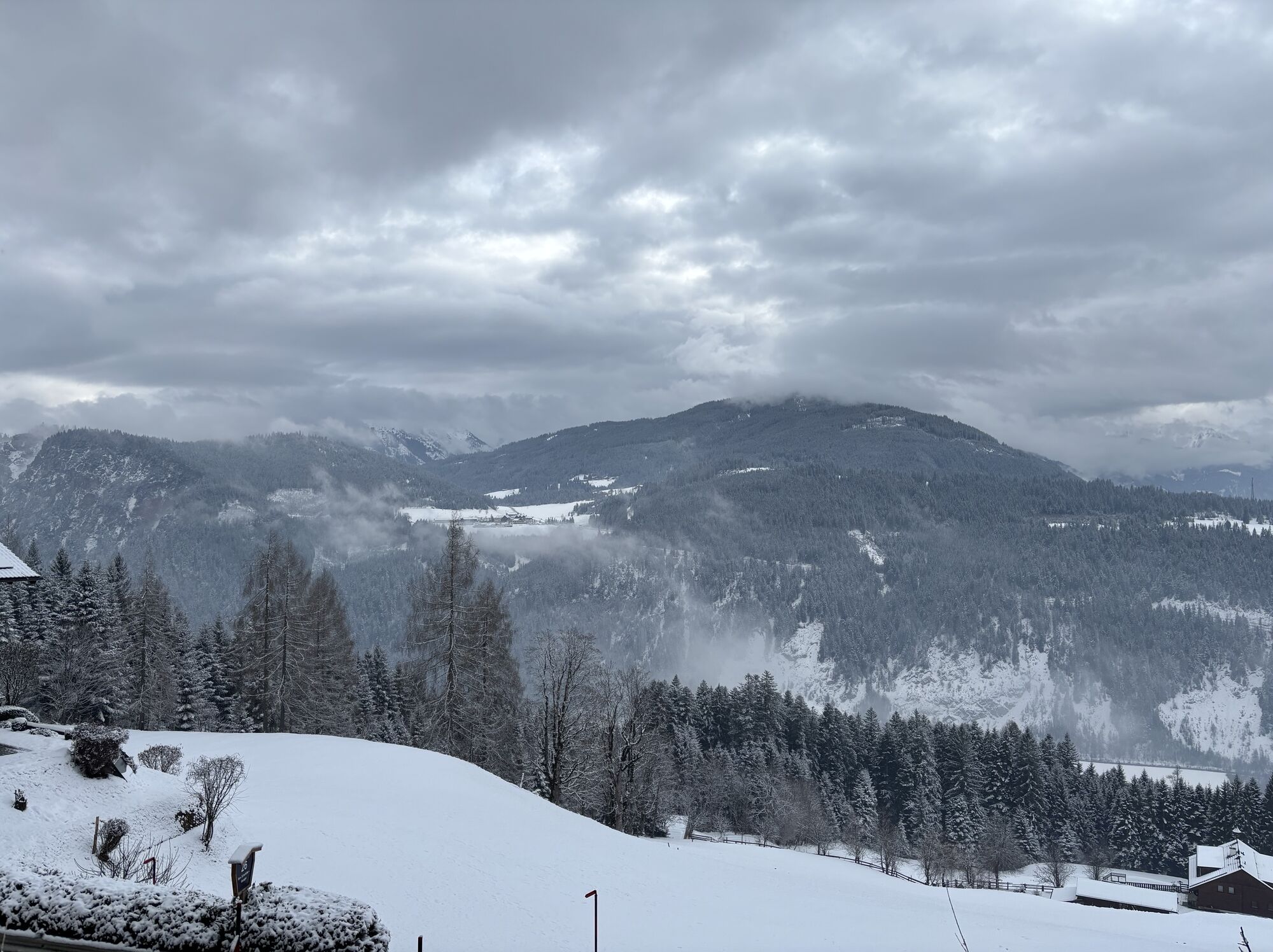
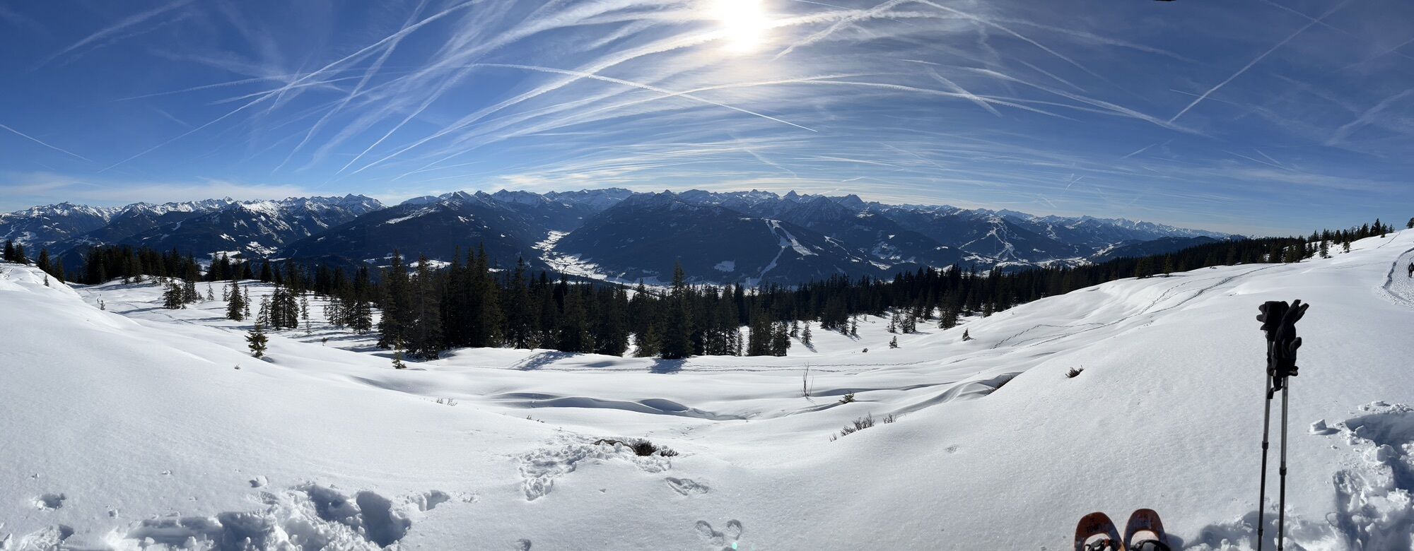
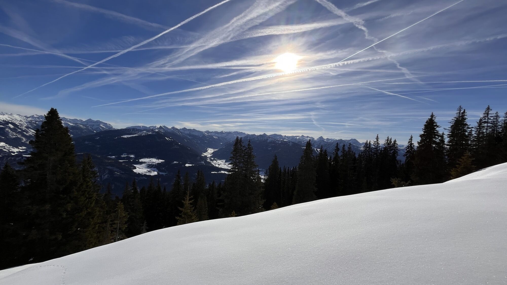
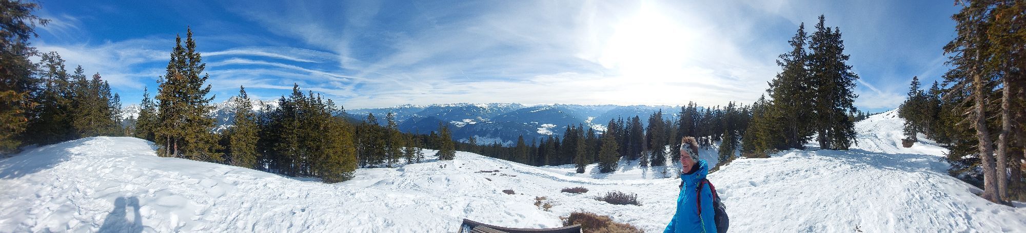
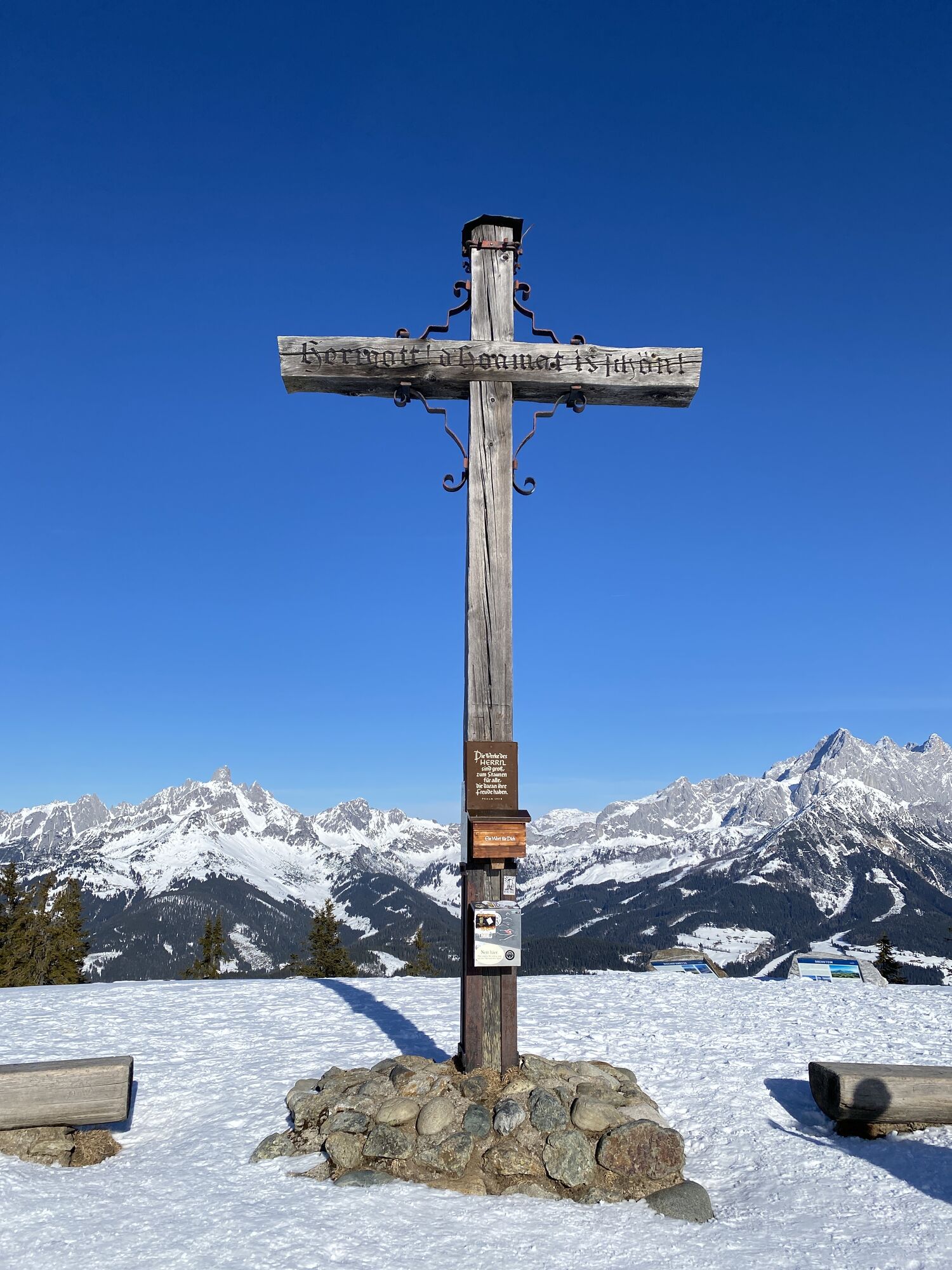
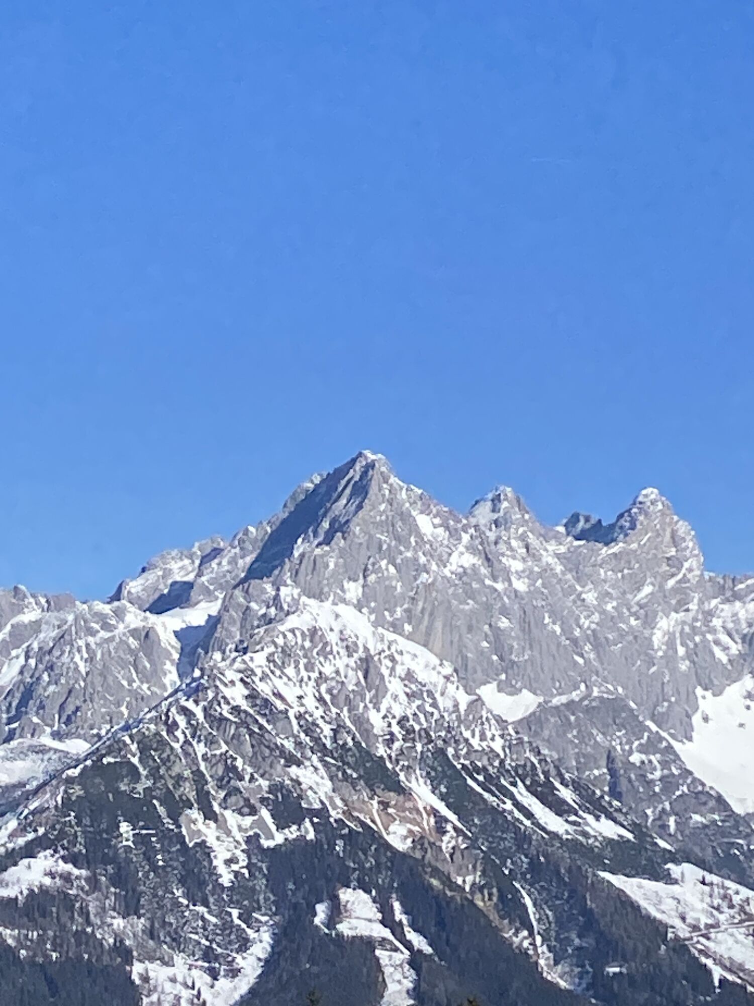
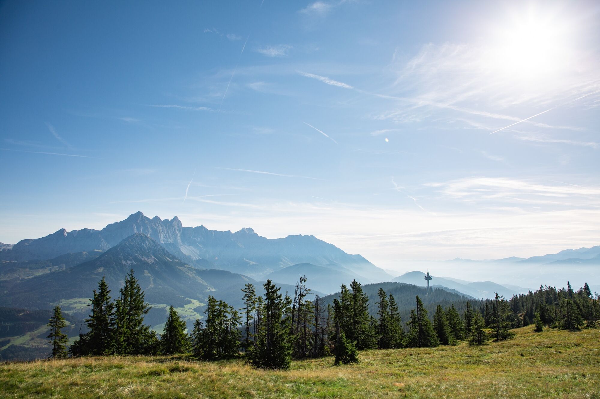
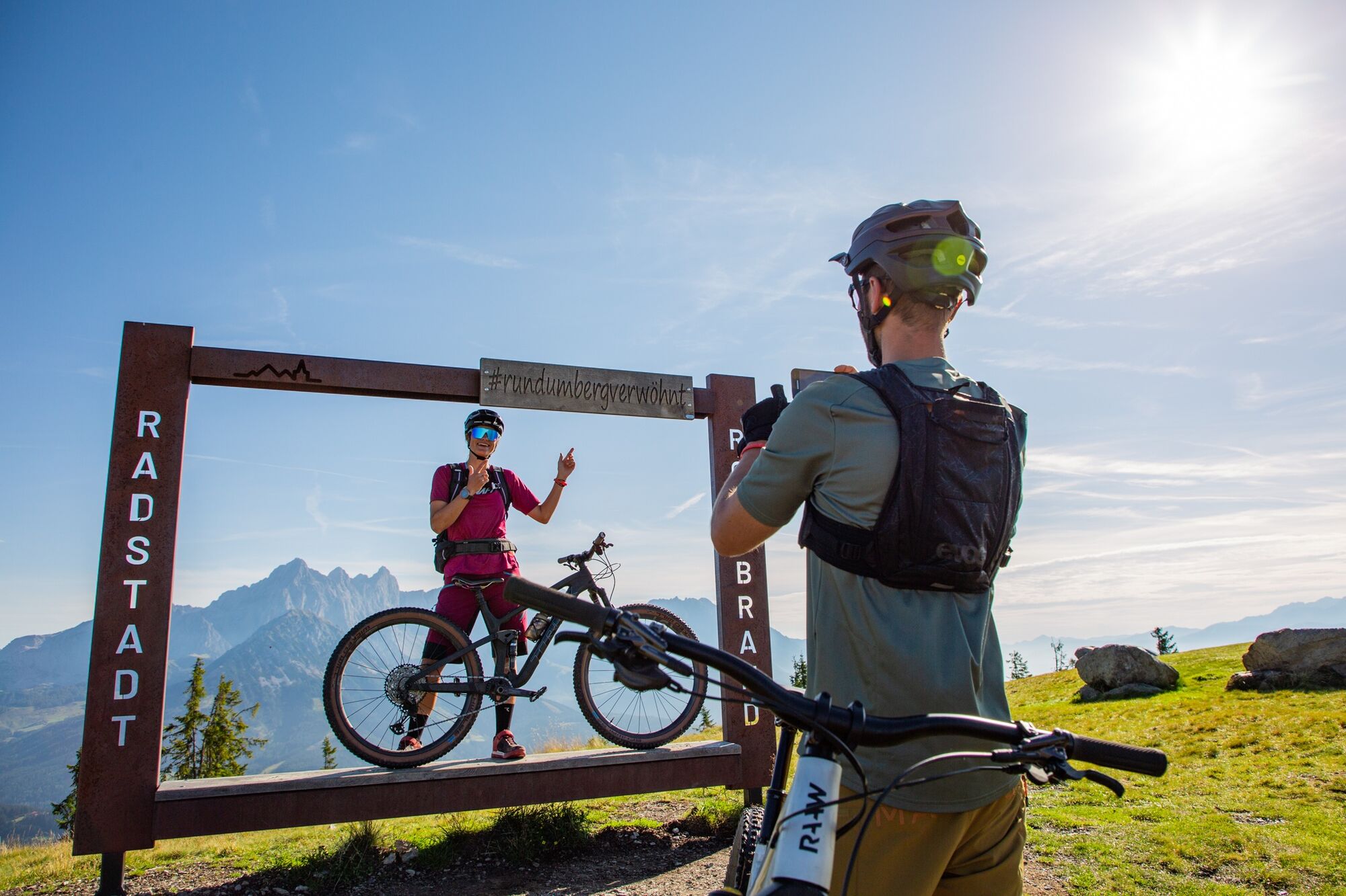
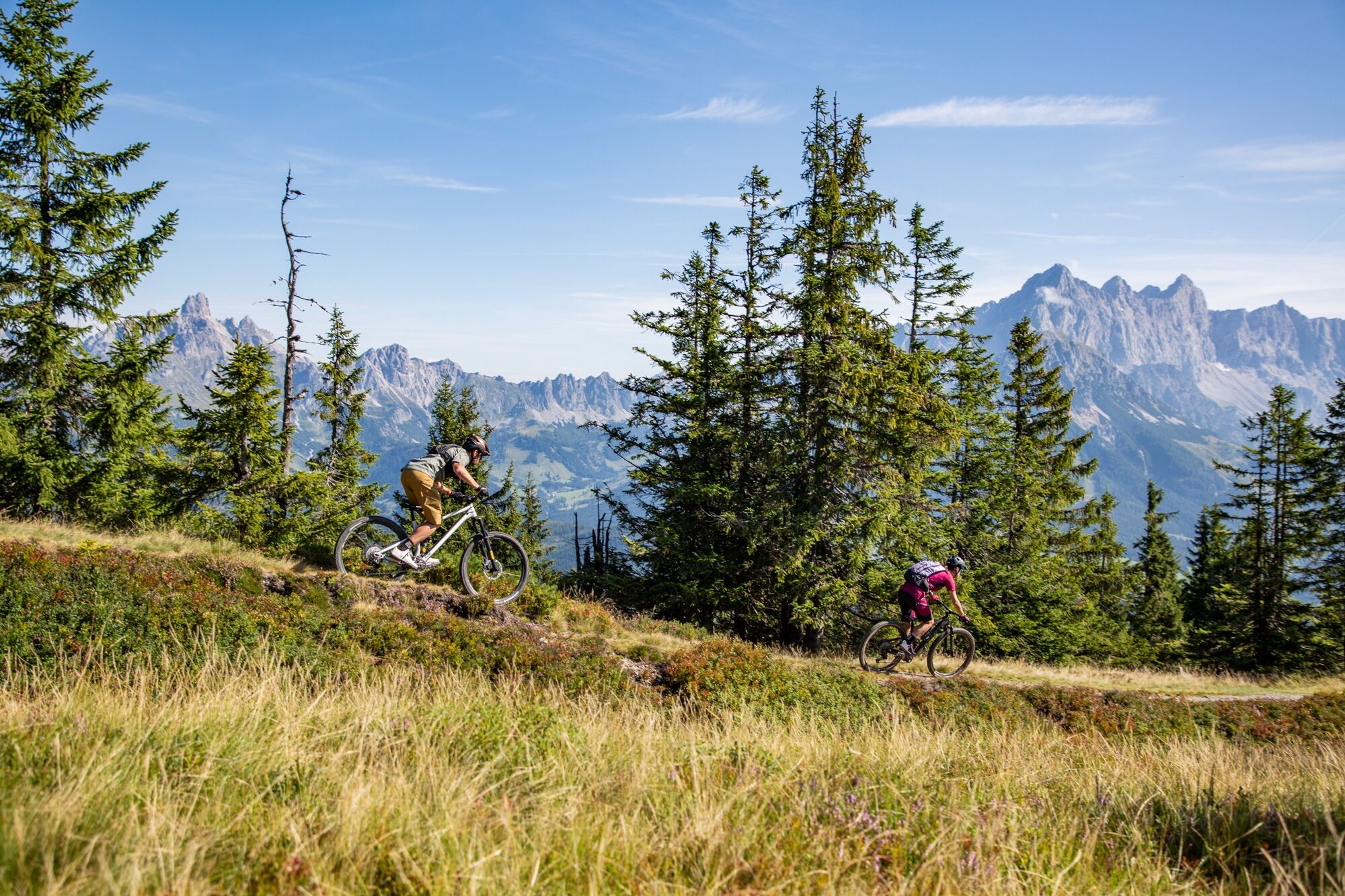
We start the route in the center of Flachau. Along the Enns bike path, we continue to Radstadt. From there we go via a long paved road to Rossbrand, up to the summit of the Radstadt local mountain. Not by chance there are binoculars and info panorama boards here that provide information about the surrounding mountains, because the 360° panoramic view is truly breathtaking. The catering at the summit-adjacent Radstadt hut is also excellent. The return route initially follows the same path, but at the third hairpin turn you leave the Rossbrand road and take the forest road over to the managed Steinalm and then in a wide loop down into the valley. The last kilometers back to Flachau are on the Enns bike path.

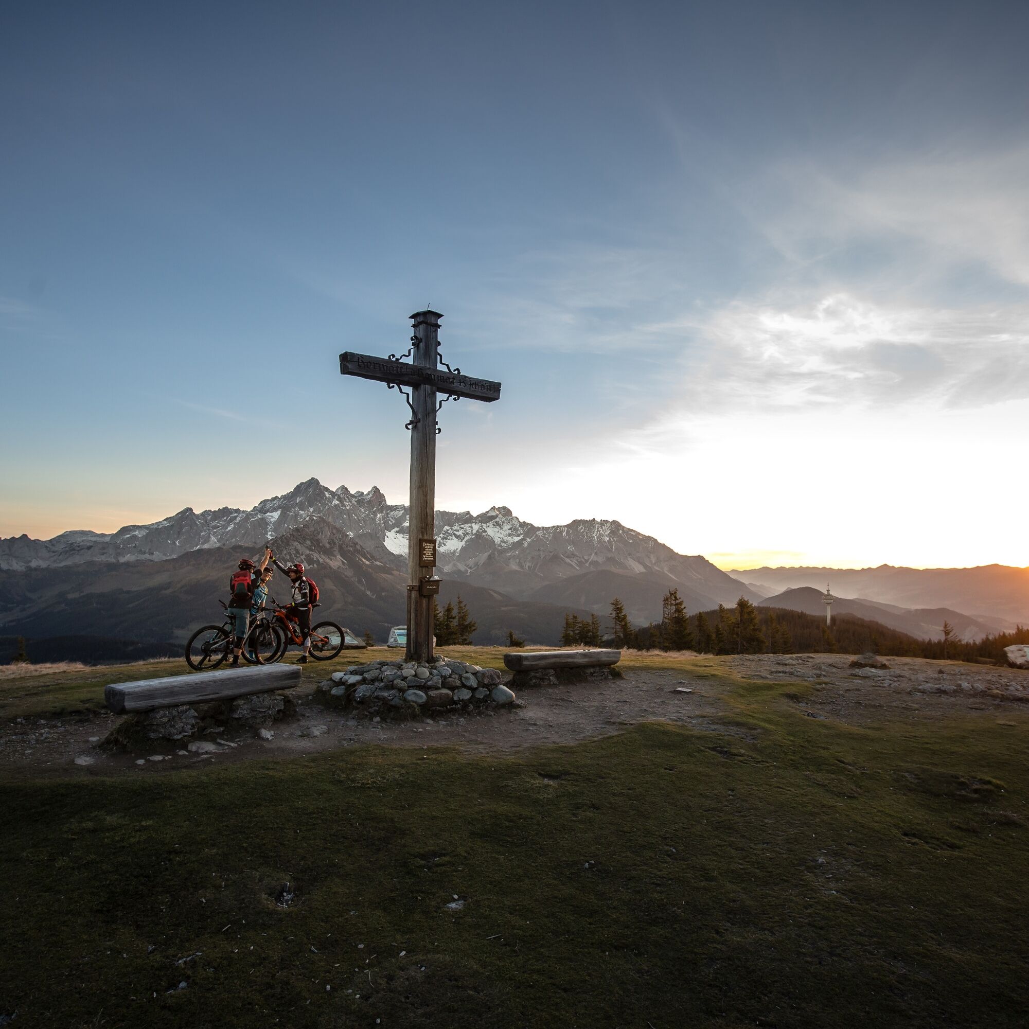

Flachau Tourism info – cross the bridge – immediately after the bridge turn left and follow the bike path to the sports field – go straight at the intersection on the bike path to the municipal road - turn right and follow the Enns bike path towards Altenmarkt/Radstadt - from the sports center in Radstadt along the paved Rossbrand Panorama Road to the summit of the 1,770 m high Rossbrand - return by the same route to Flachau Tourism info
Áno
Áno
The basic equipment of a mountain biker includes:
Protective gear Snacks for in between Sunglasses, sunscreen or rain protection if necessary Mobile phoneCheck the functionality of your mountain bike before each ride and check the weather in advance. For your own safety, wearing a helmet is also recommended.
Flachau center / Flachau Tourism info
From June to September, the Sportwelt bus is the ideal shuttle and return service for your bike tours throughout the entire region (Flachau, Wagrain-Kleinarl, St. Johann-Alpendorf, Radstadt, Altenmarkt-Zauchensee, Eben, Filzmoos, Obertauern, Großarl & Hüttschlag).
With the "Guest Mobility Ticket" you can use the Sportwelt bus free of charge. You receive the ticket from your host.
More information can be found at: https://www.flachau.com/de/info/vor-ort/sportweltbus.html
Other bus connections: www.salzburg-verkehr.at
Parking options are available in close proximity to the starting point.
This route is also suitable for e-bikes! Charging stations are available in the town center at Flachau Tourism.
More about mountain biking in Flachau can be found at: https://www.flachau.com/bikeurlaub
Local weather information: https://www.flachau.com
At the tourist info Flachau you get a bike map with information to this tour.
Webové kamery z prehliadky
-
Bergstation achterjet
-
Talstation Reiteralm - Gondelbahn Silver Jet
-
Radstadt - Simonyhof
-
Altenmarkt - Sinnhubbauer
-
Aparthotel Jagdhof Filzmoos
-
Aparthotel Jagdhof Filzmoos
-
Kemahdhöhe
-
Ramsau a. D. - Rittisberg
-
Reitlehenalm
-
Altenmarkt - Habersatt
-
Radstadt - Wasserwerk
-
Papageno Bergstation
-
Radstadt - Rossbrand
-
Ferienbauernhof Habersattgut
-
Snow Space Salzburg - Flying Mozart
-
Ferienanlage Reithof
-
Flying Mozart Bergstation
-
Neubergerhof

Obľúbené výlety v okolí
-
4,5
Ramsau am Dachstein: Steinerne Jungfrauen
Turistika 8,11 km -
5,0
Strimskogel-Runde
Turistika 13 km -
4,4
Filzmoos: Rötelstein (Rettenstein)
Turistika 9,50 km -
4,8
Tour around the Gosaukamm
strednáTuristika 20,9 km -
4,8
4-Jahreszeiten Wanderweg
strednáZimná turistika 5,94 km -
4,7
Tor-Wanderung
ťažkéTuristika 14,2 km -
4,7
Tour around the Lake Gosau
svetloTuristika 4,43 km -
4,6
Ski route Lackenkogel
strednáSkitour 7,82 km -
4,6
Adamekhütte vom Vorderen Gosausee
strednáTuristika 23,2 km -
4,4
Rittispanoramaweg
svetloTuristika 5,30 km
Turistika a stopovanie


Nenechajte si ujsť ponuky a inšpiráciu na ďalšiu dovolenku
Vaša e-mailová adresa bol pridaný do poštového zoznamu.





