


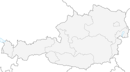


Königslehen round tour

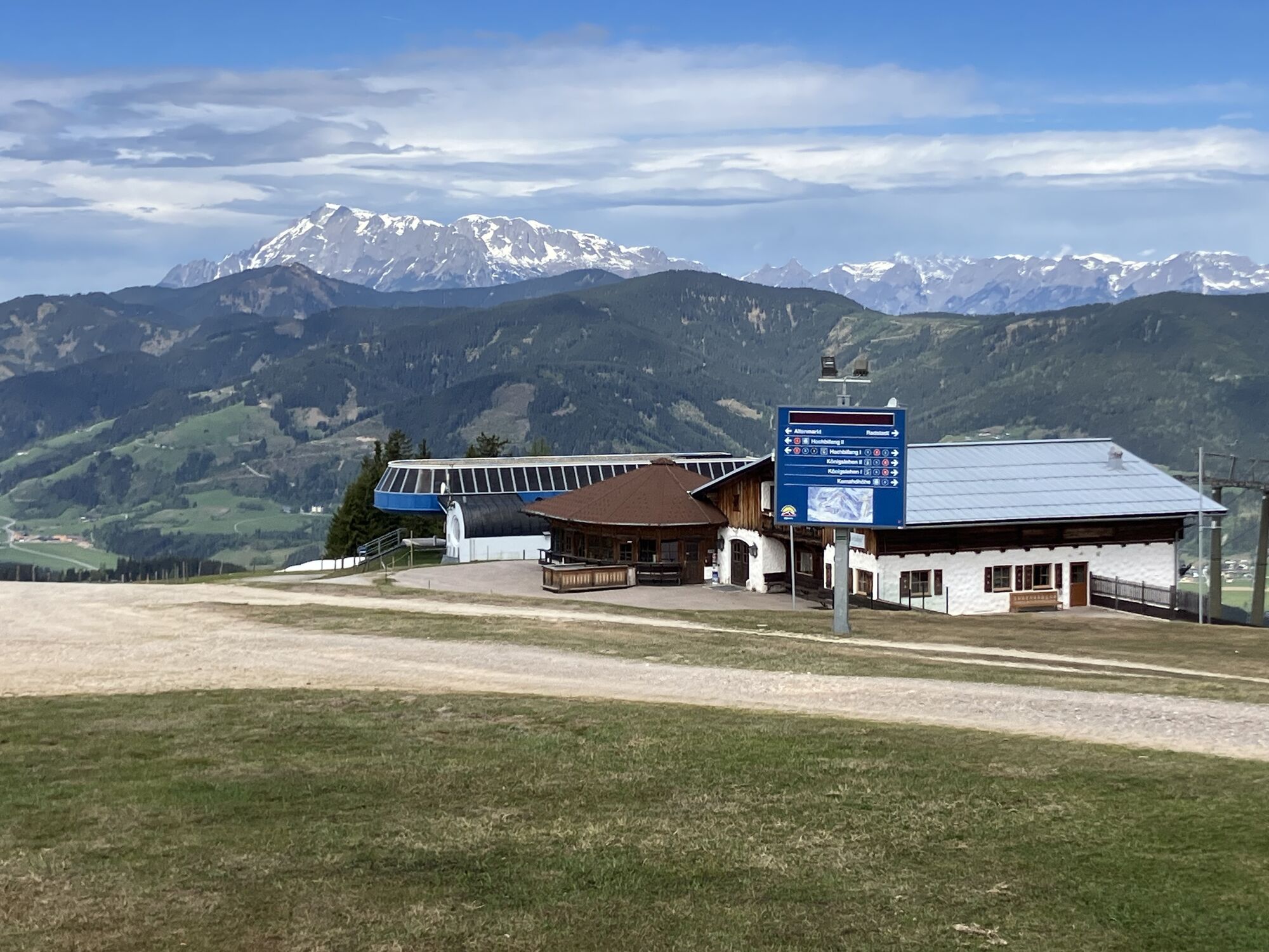
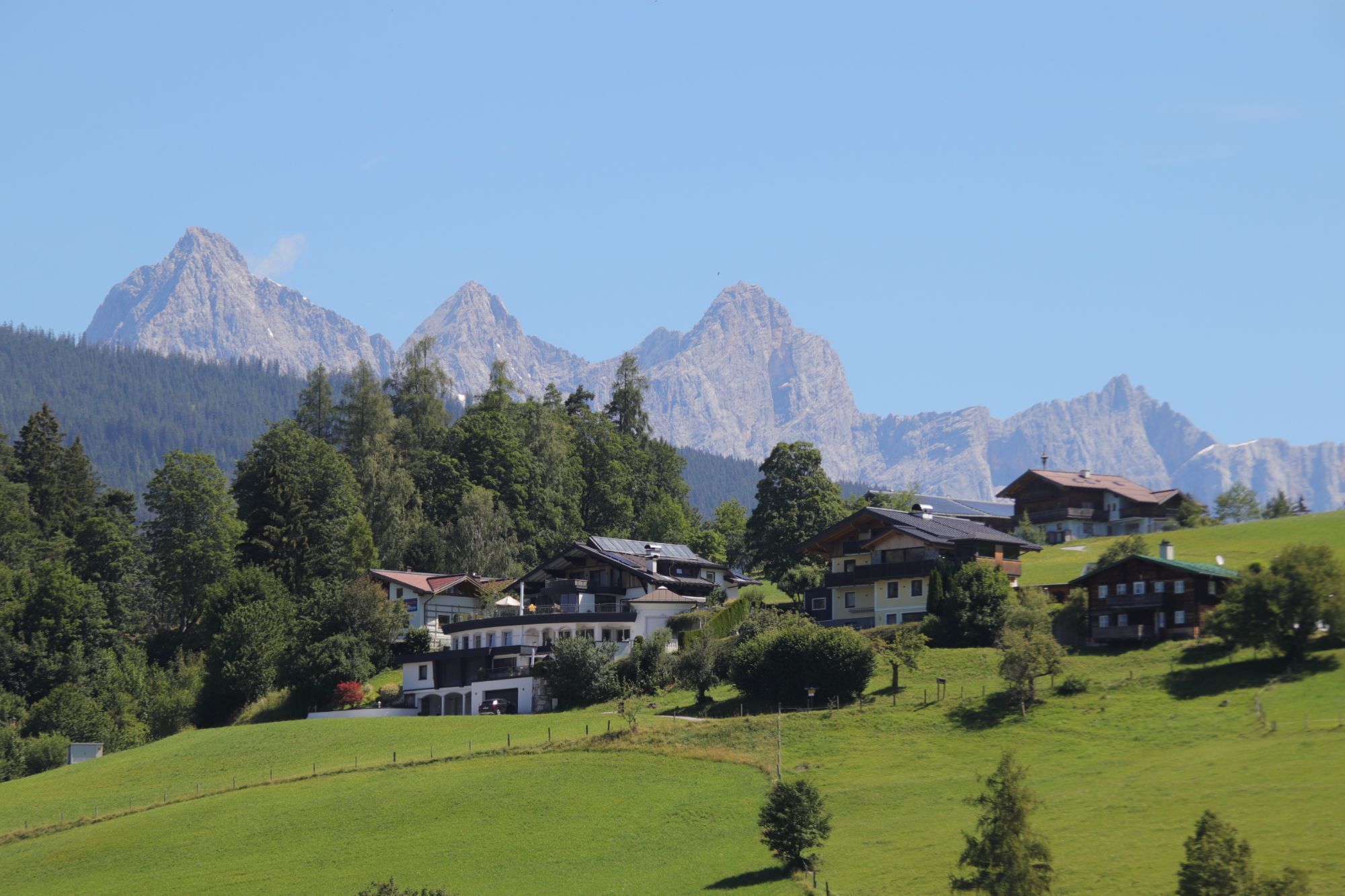
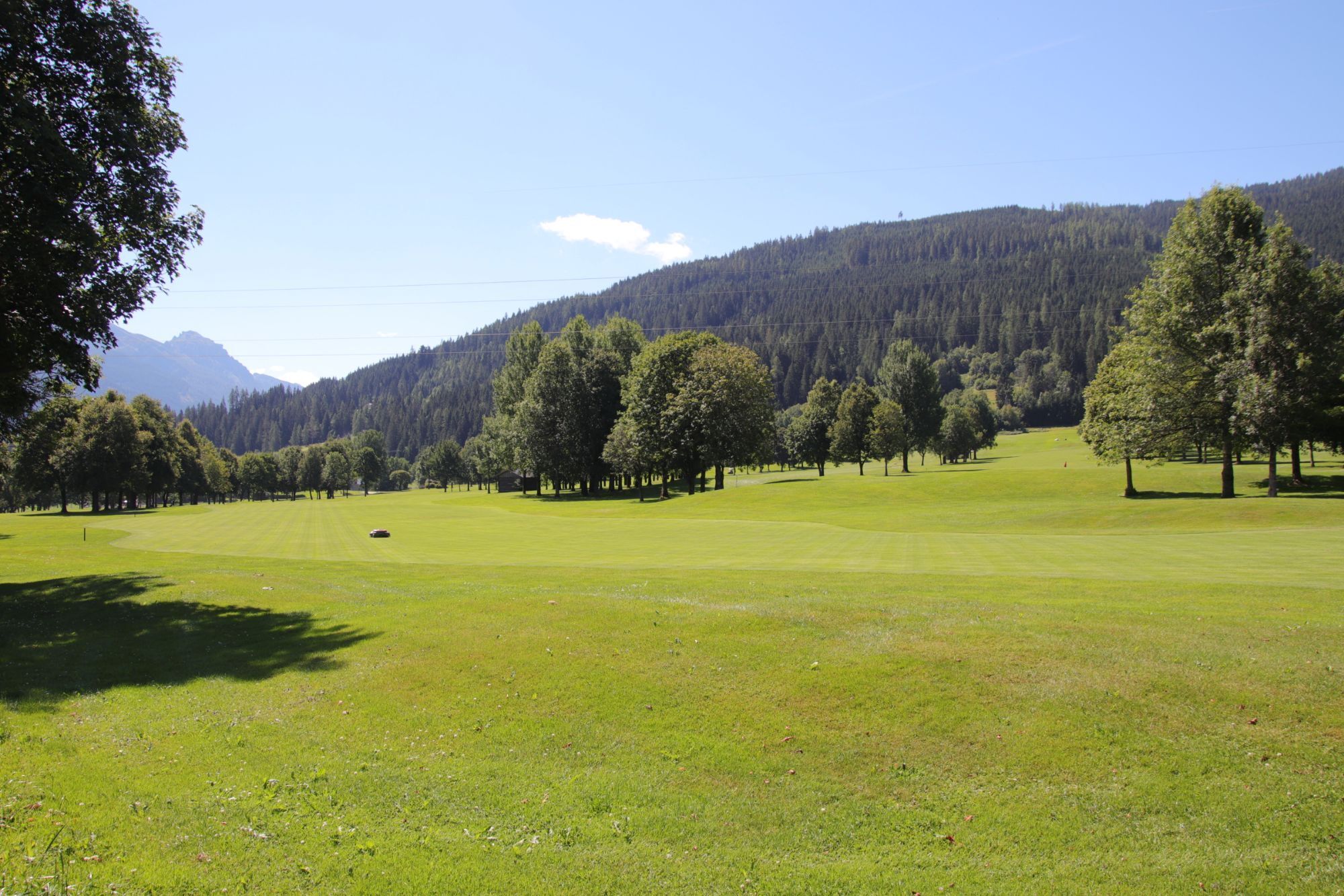
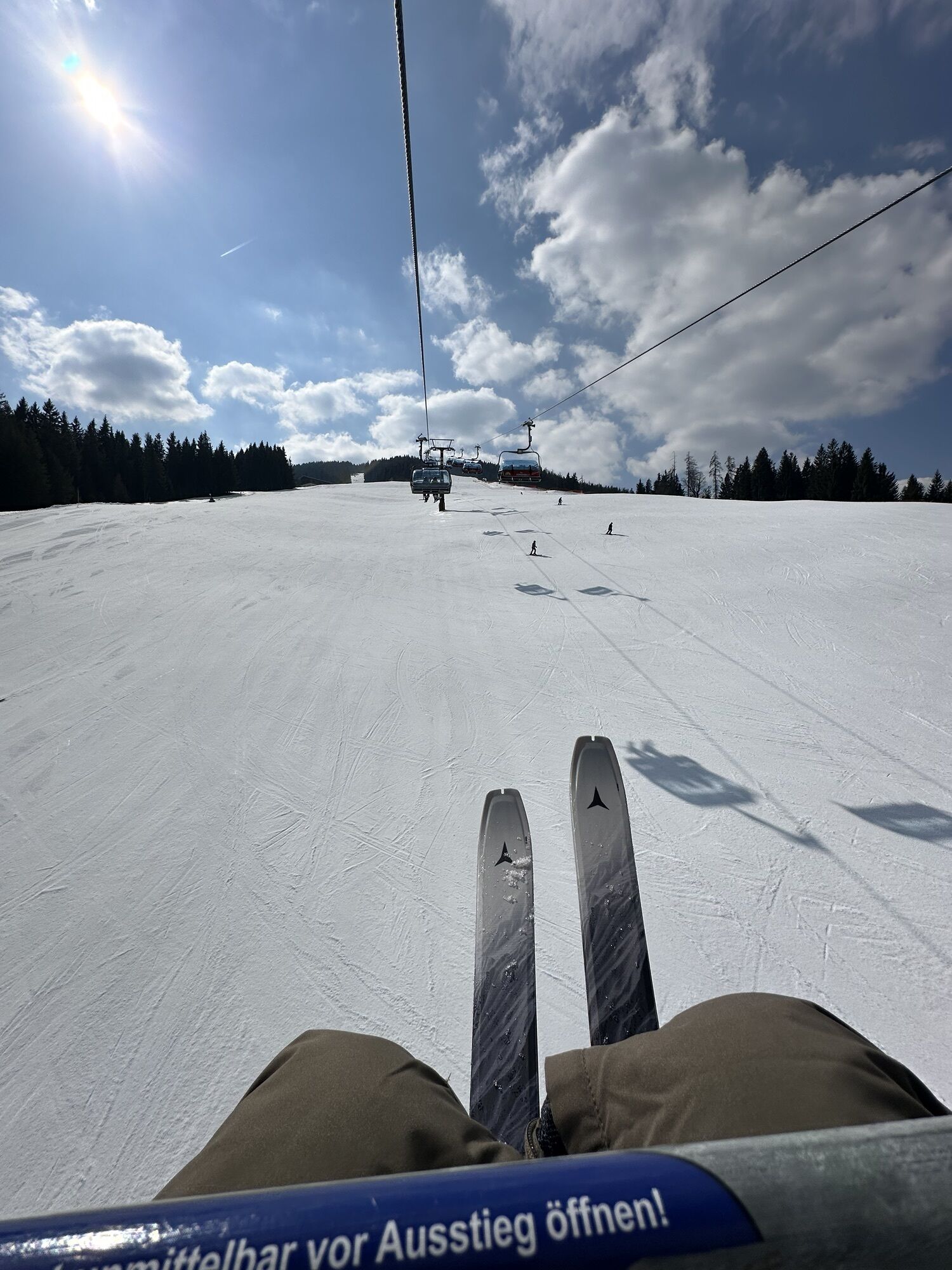


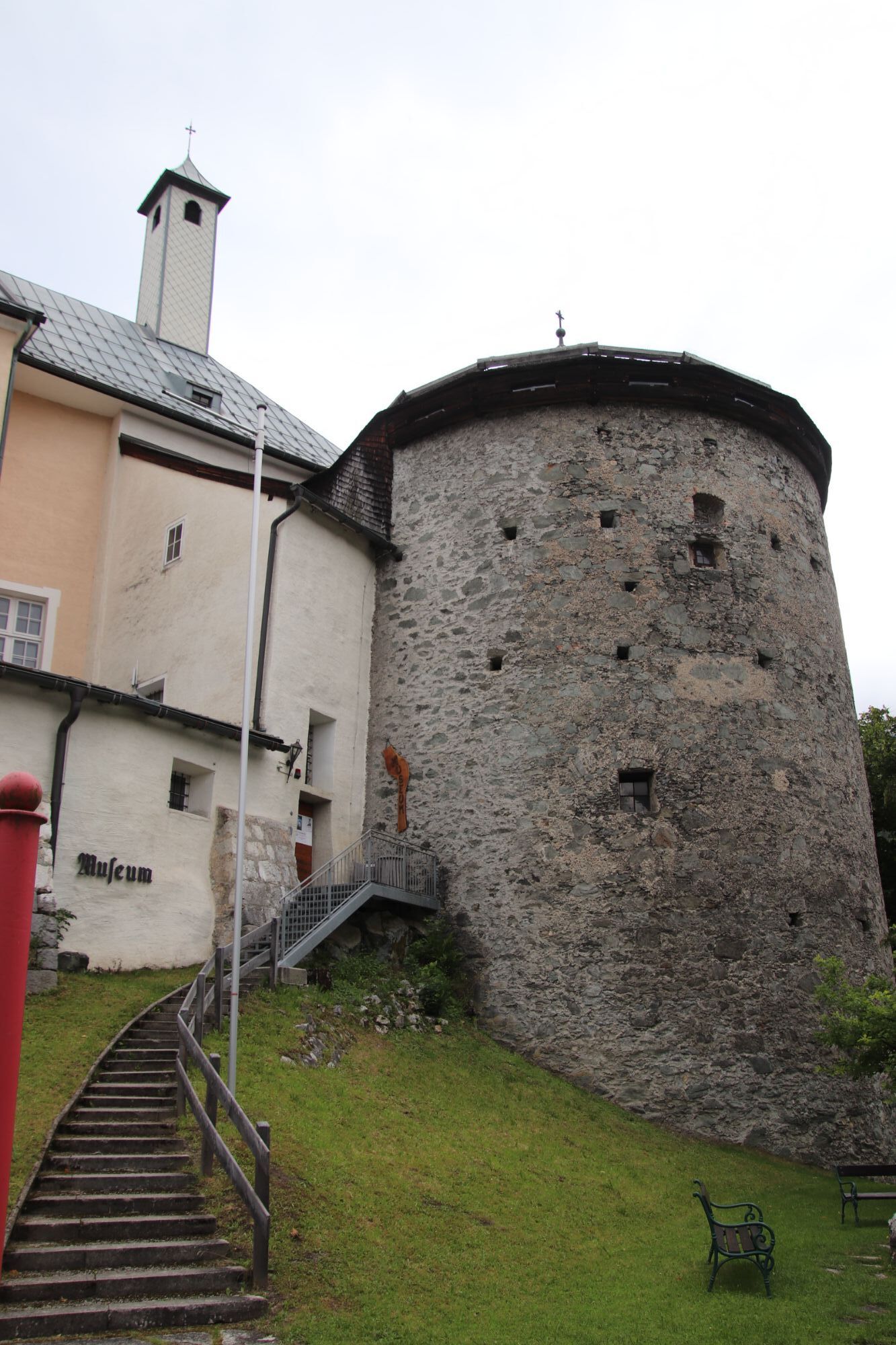
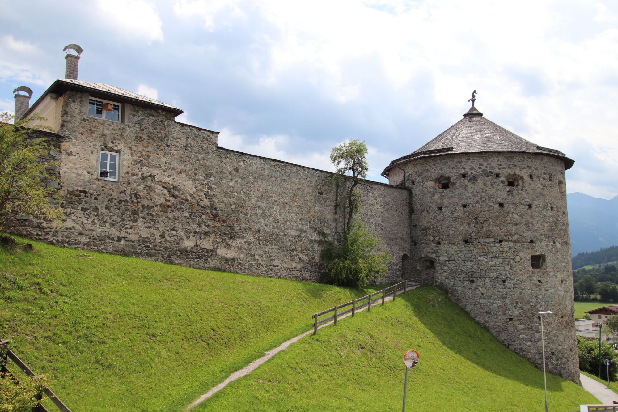
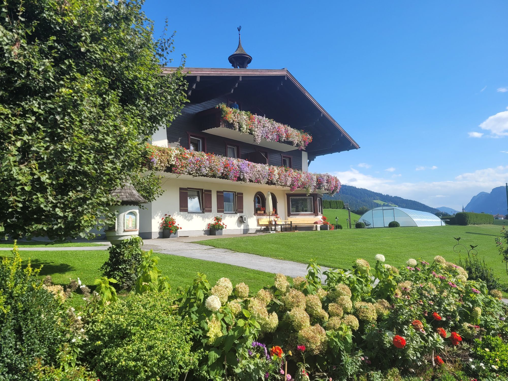
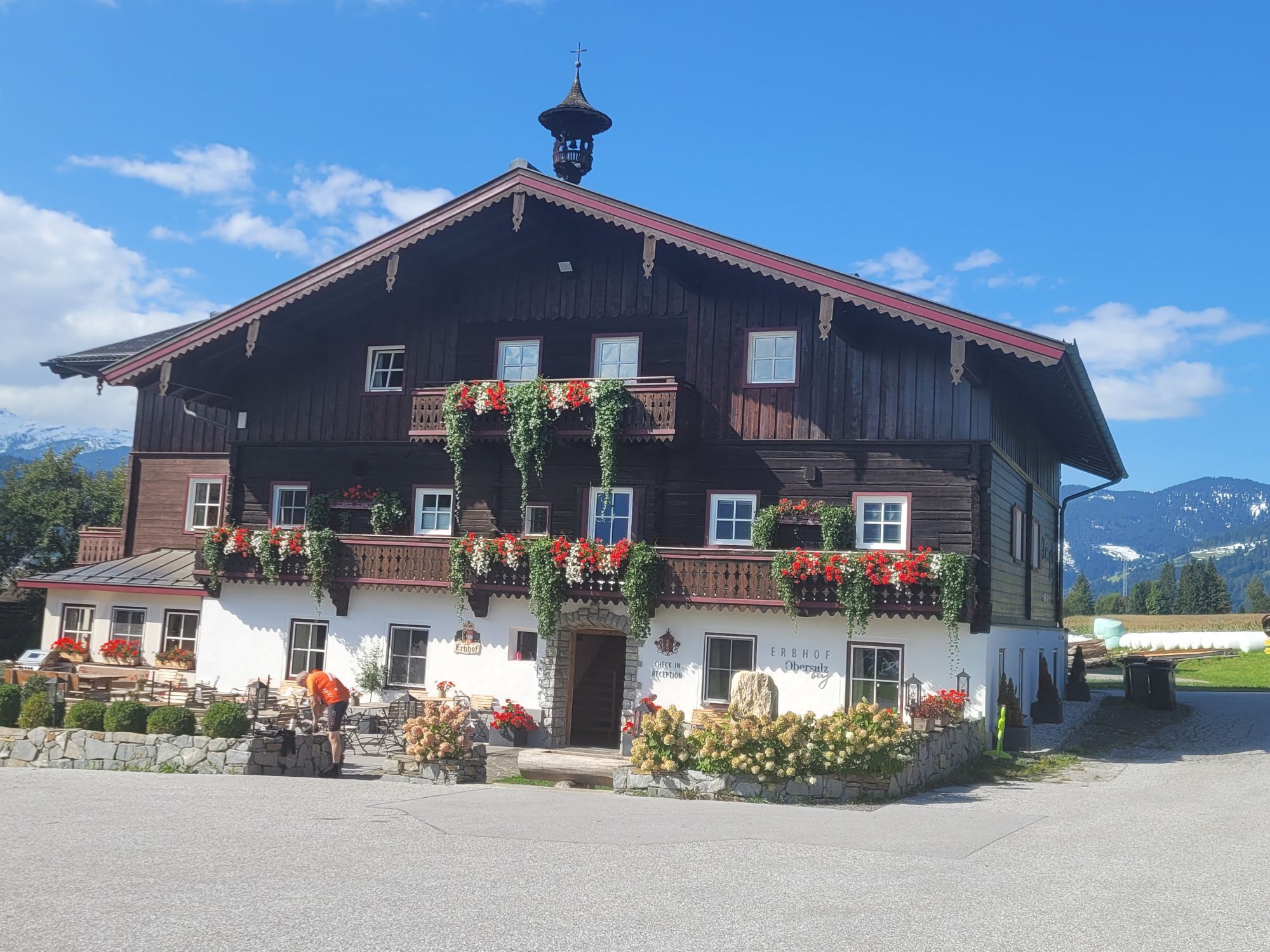
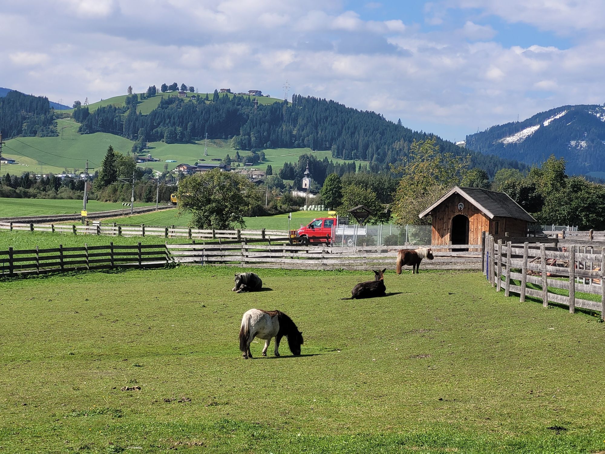
This moderatly difficult mountain bike tour leads up to an altitude of 1,240 m. Culinary highlight is the Berggasthof Bliembauer with its large, panoramic sun terrace.


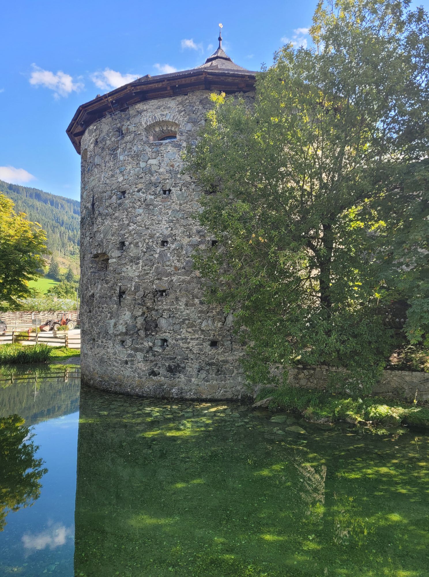
You start in Radstadt at the city square a via the Judenbühel you continue on Tauernstraße until you reach the Höggen roundabout. Here you take the first exit towards Königslehen and drive first on Höggenstraße and then on Taxerweg. At the end of the Taxerweg, turn right onto Perneggweg. First you go uphill in a few hairpin bends and then along the mountain westwards to the highest point. Here you branch off to the bottom right, drive past the lift station and to the right at the next fork. Shortly afterwards the asphalt surface begins. At the Gasthof Bliembauer you take the turn-off to the Hornerbauer and at the next fork you turn left. Then you will reach the connection to the Steinwand Runde. At the crossroads before the bridge to Zauchenseestraße, turn right to Eckwaldweg. Here you take a sharp left, pass the Hacklbauer and reach an intersection. You go via Schloss Tandalier back to the city square of Radstadt.
you will find enough parking space directly at the sportscentre where you can park free of charge.

Webové kamery z prehliadky

Obľúbené výlety v okolí
-
5,0
Strimskogel-Runde
Turistika 13 km -
4,4
Filzmoos: Rötelstein (Rettenstein)
Turistika 9,50 km -
4,8
Rundwanderweg von der Fallhausalm und Vögeialm übers Klamml zur Oberhütte am See
strednáTuristika 10 km -
4,9
4-Gipfel-Tour
strednáHorská turistika 6,40 km -
4,8
Obertauern to the Johannes Waterfall
strednáTuristika 9,39 km -
4,8
Tour around the Gosaukamm
strednáTuristika 20,9 km -
4,8
Rossbrand über Bürgerbergalm (462)
Turistika 10,8 km -
4,6
Ski route Lackenkogel
strednáSkitour 7,82 km -
4,6
Grießenkareck
strednáTuristika 4,89 km -
4,5
Rittispanoramaweg
svetloTuristika 5,30 km
Turistika a stopovanie


Nenechajte si ujsť ponuky a inšpiráciu na ďalšiu dovolenku
Vaša e-mailová adresa bol pridaný do poštového zoznamu.


