






Steinberg route
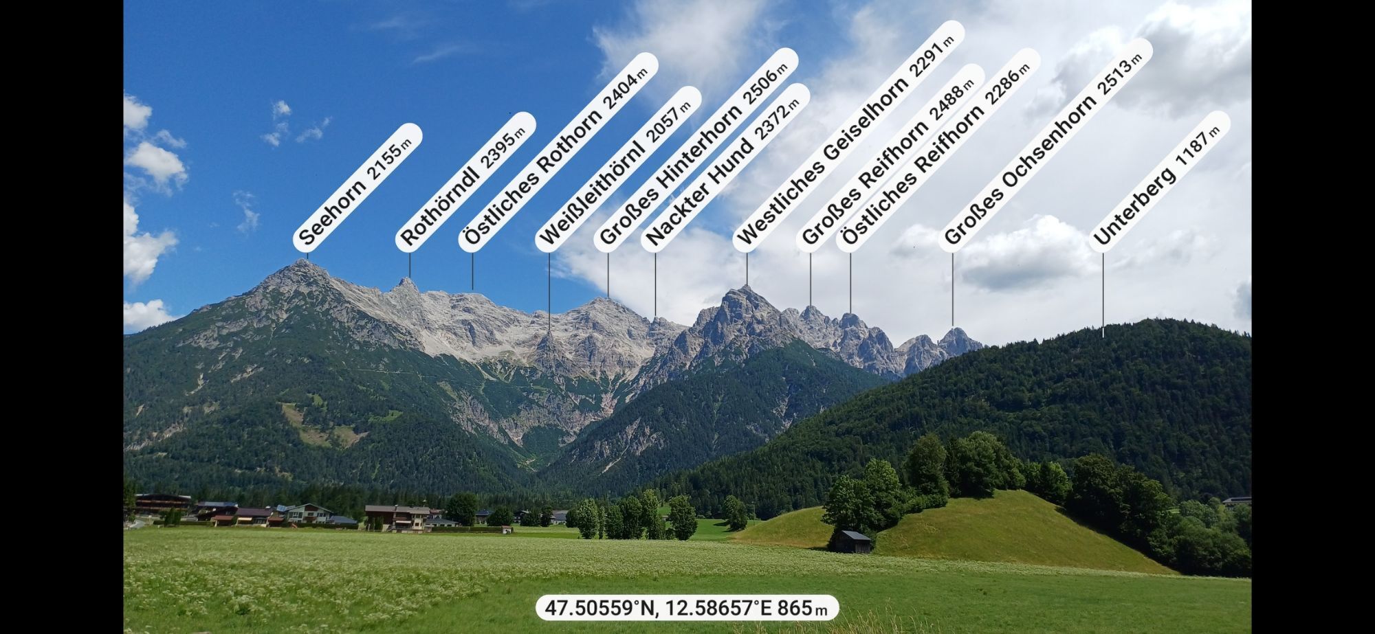
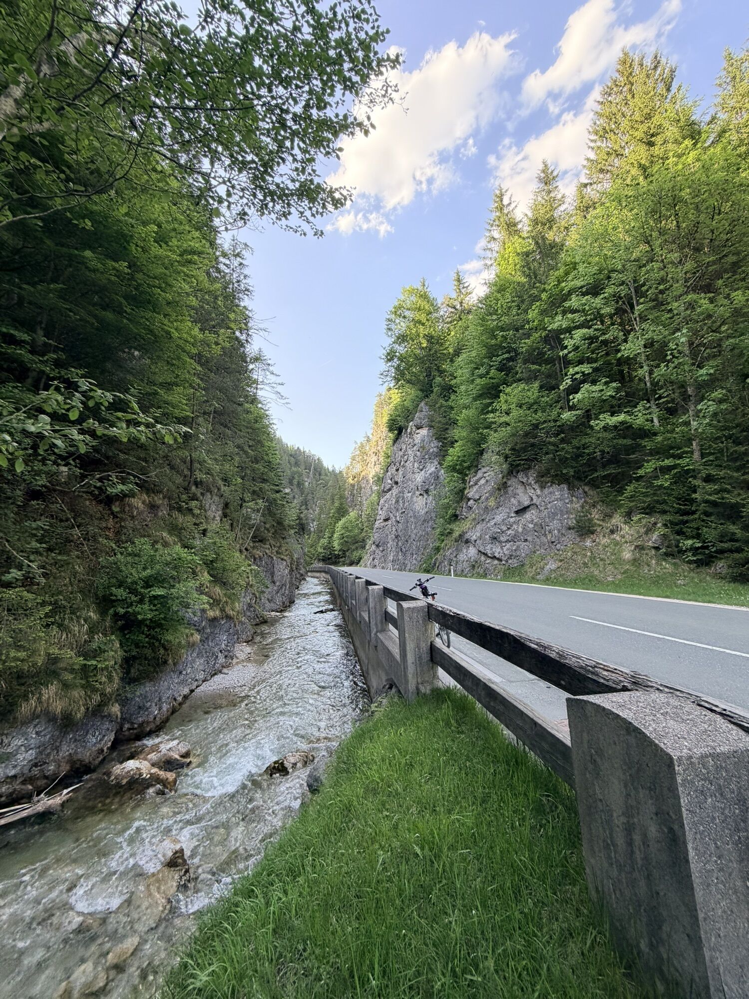
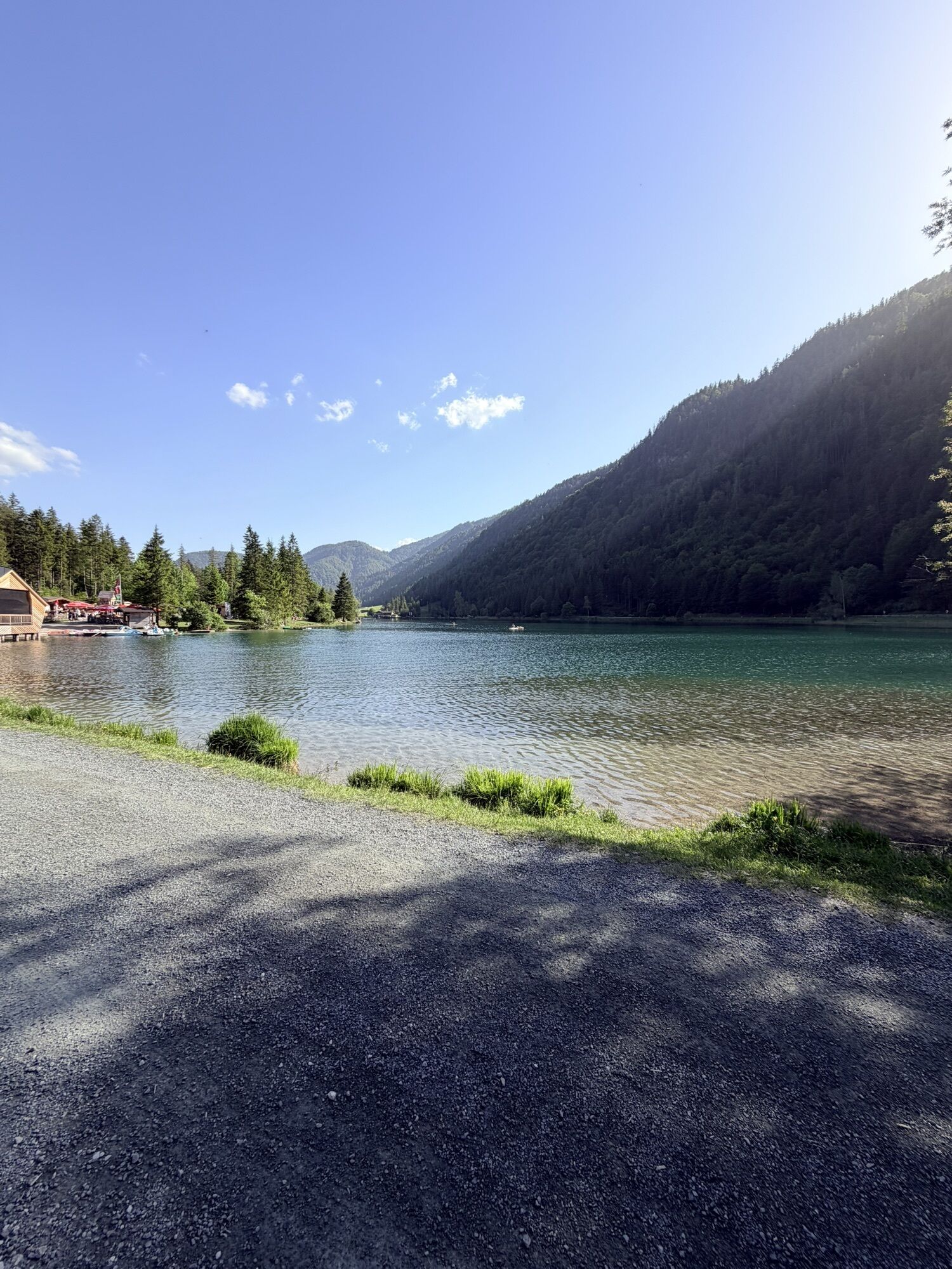
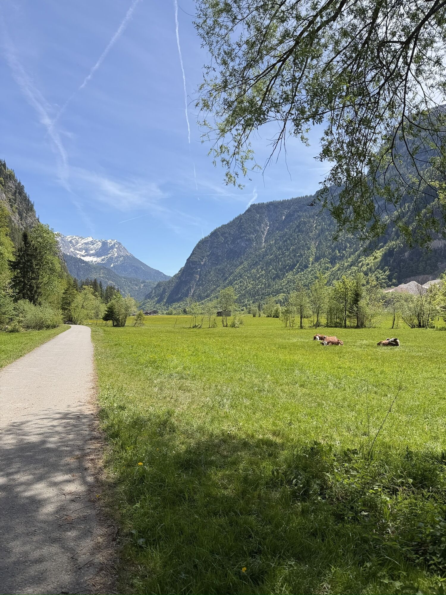
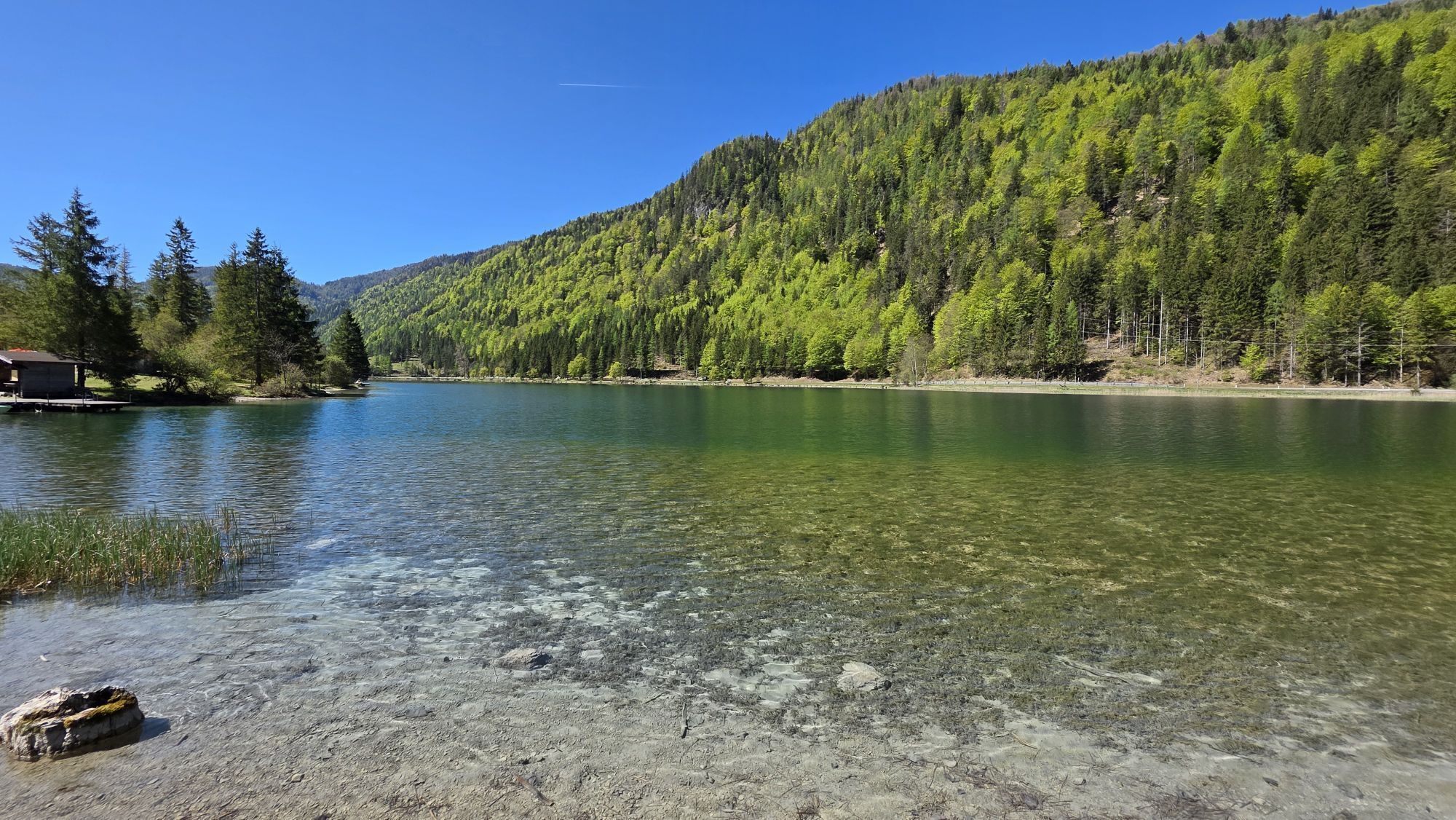
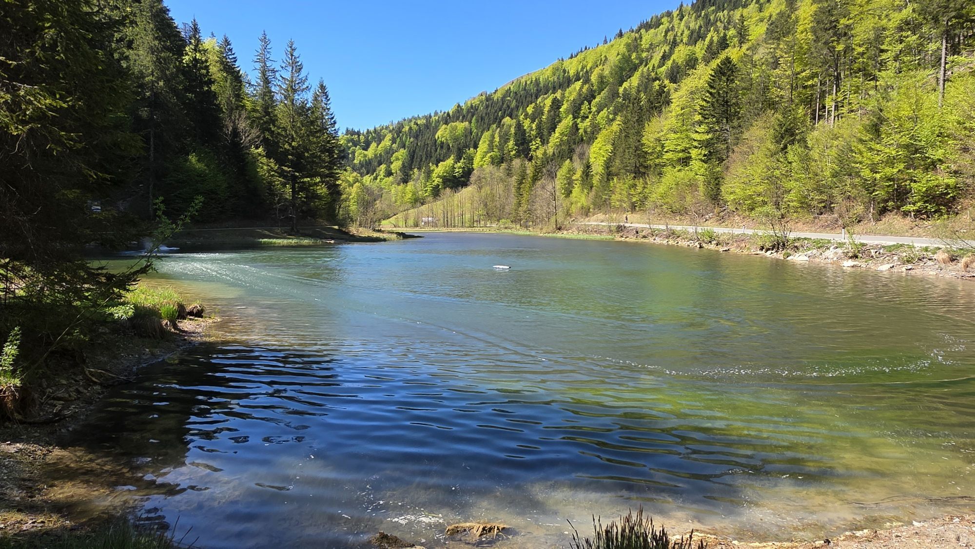
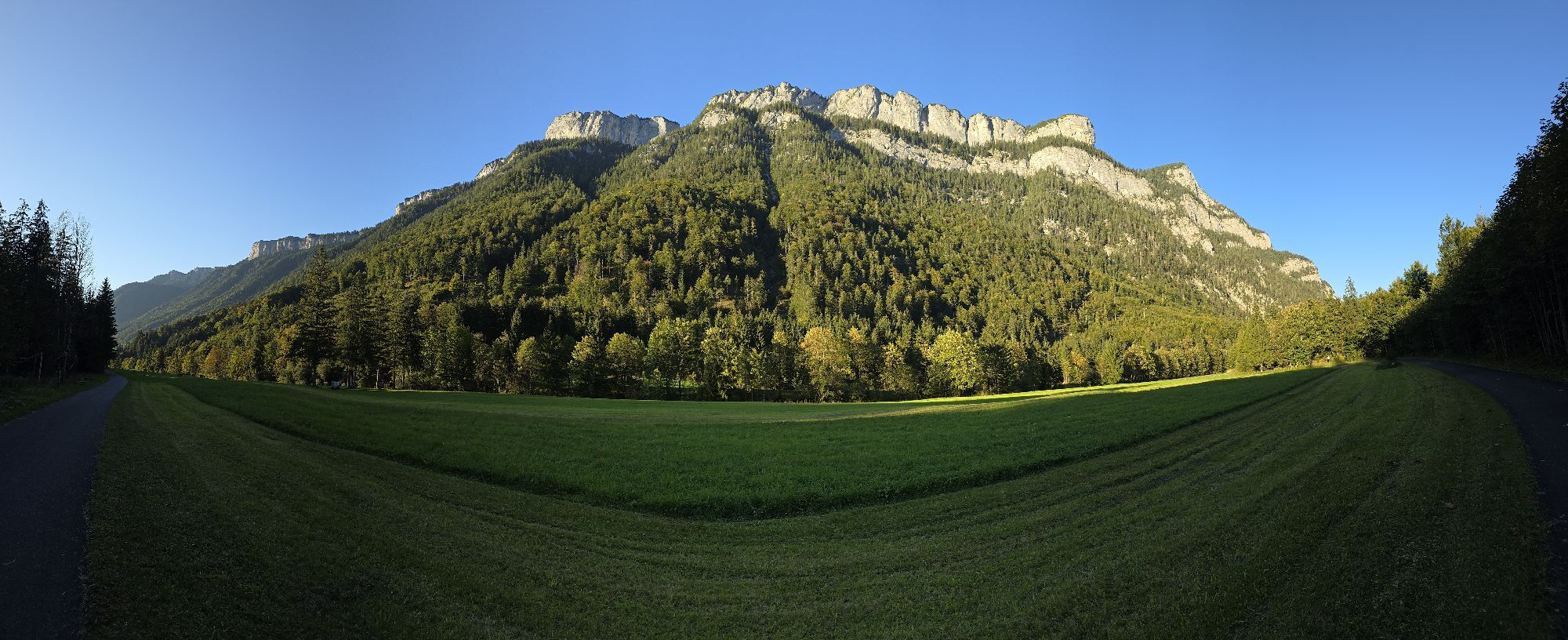
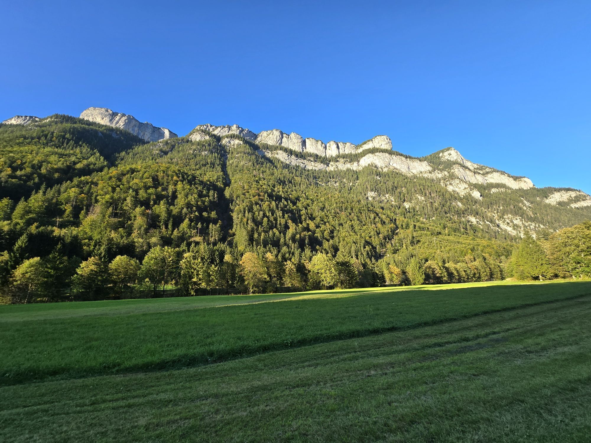
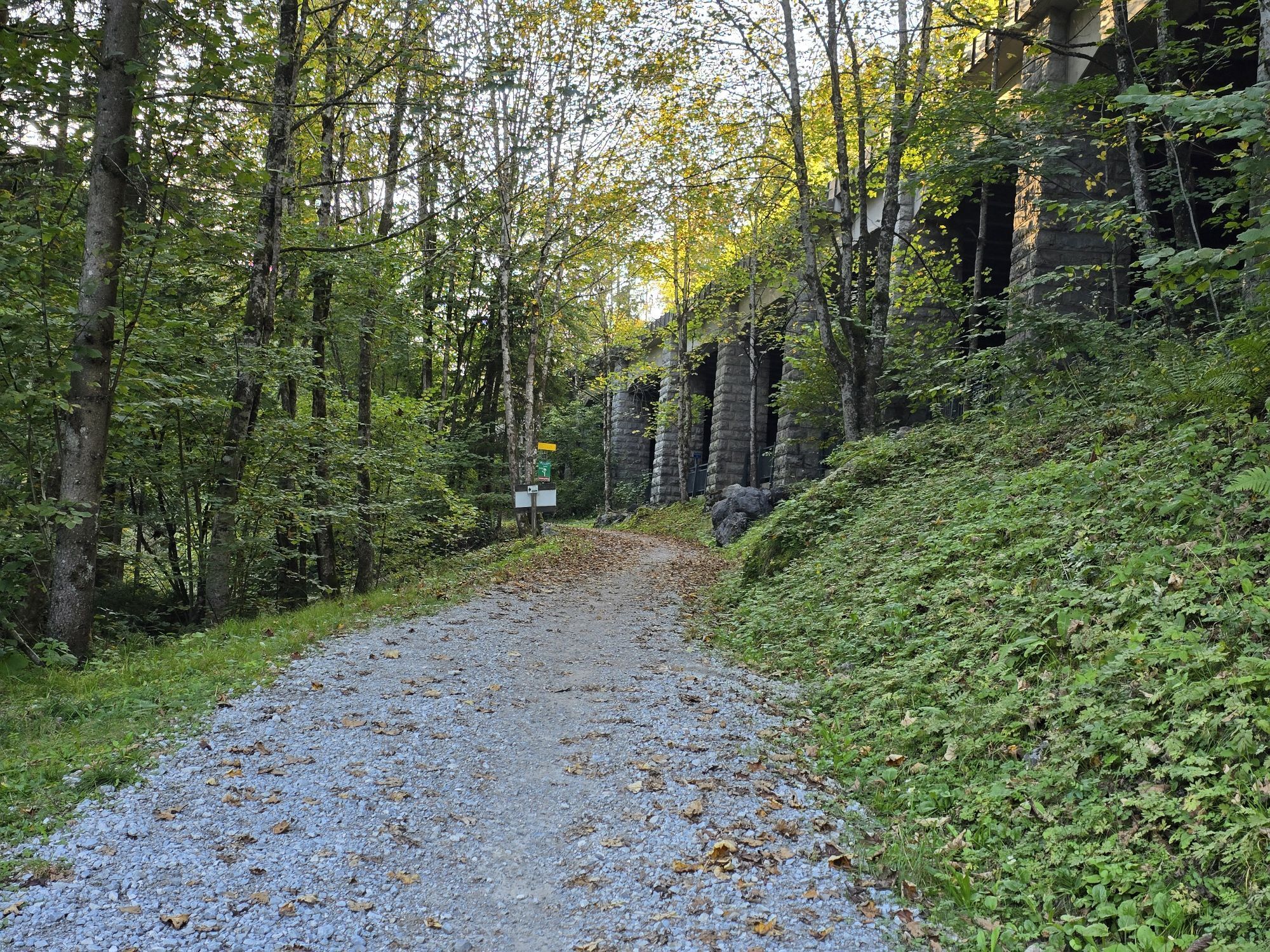
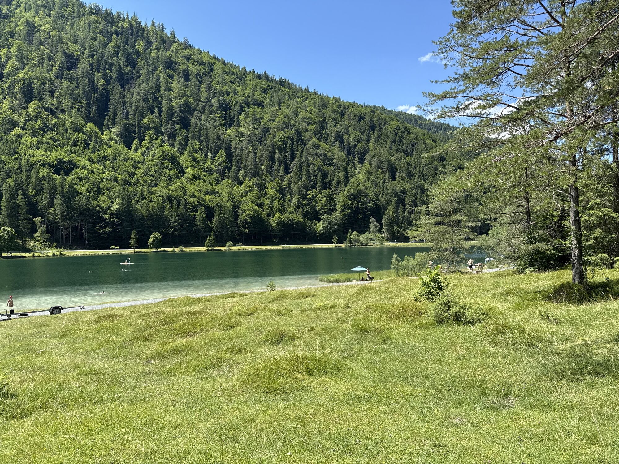

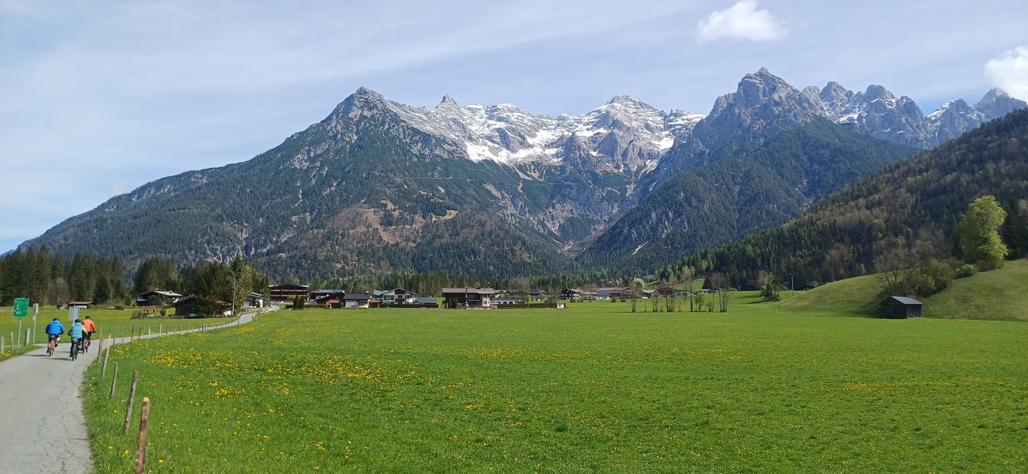
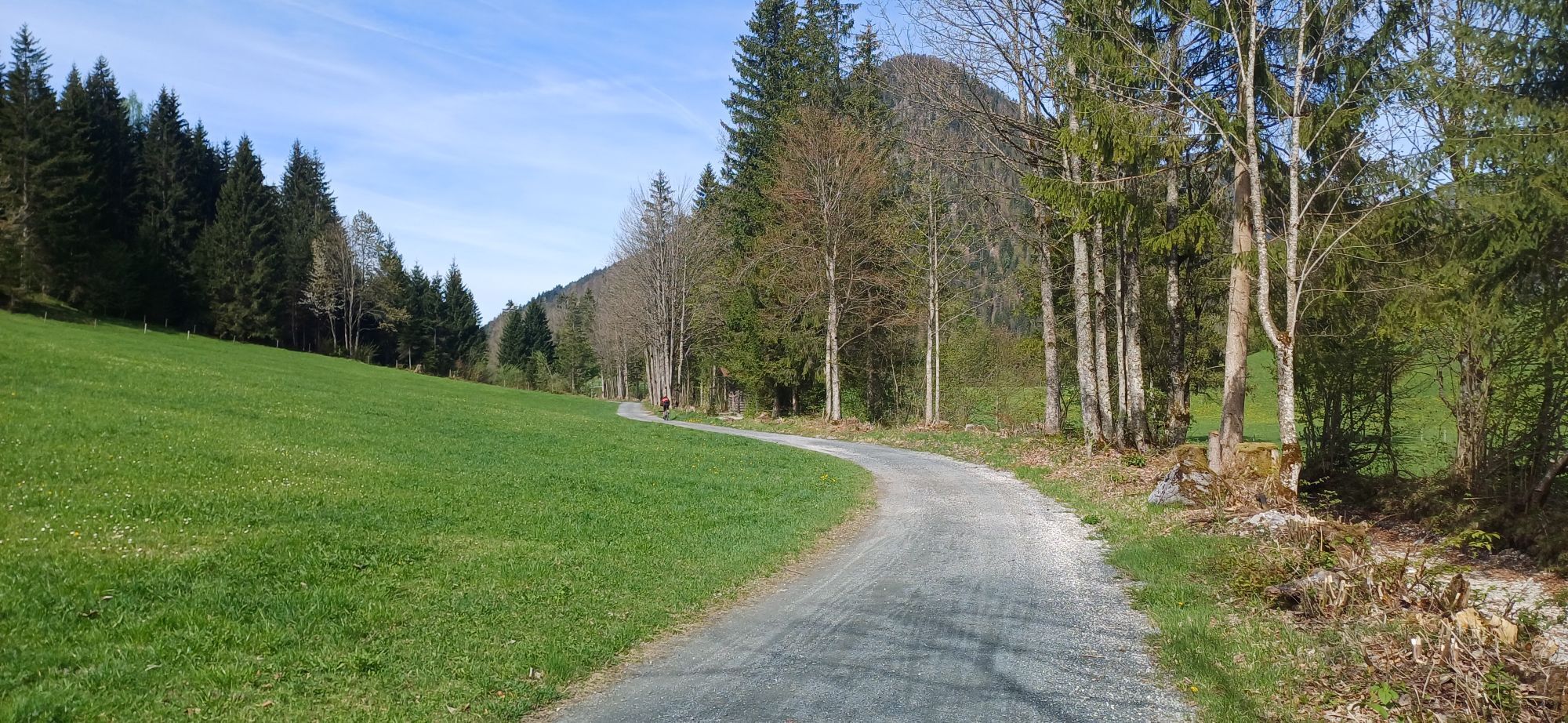
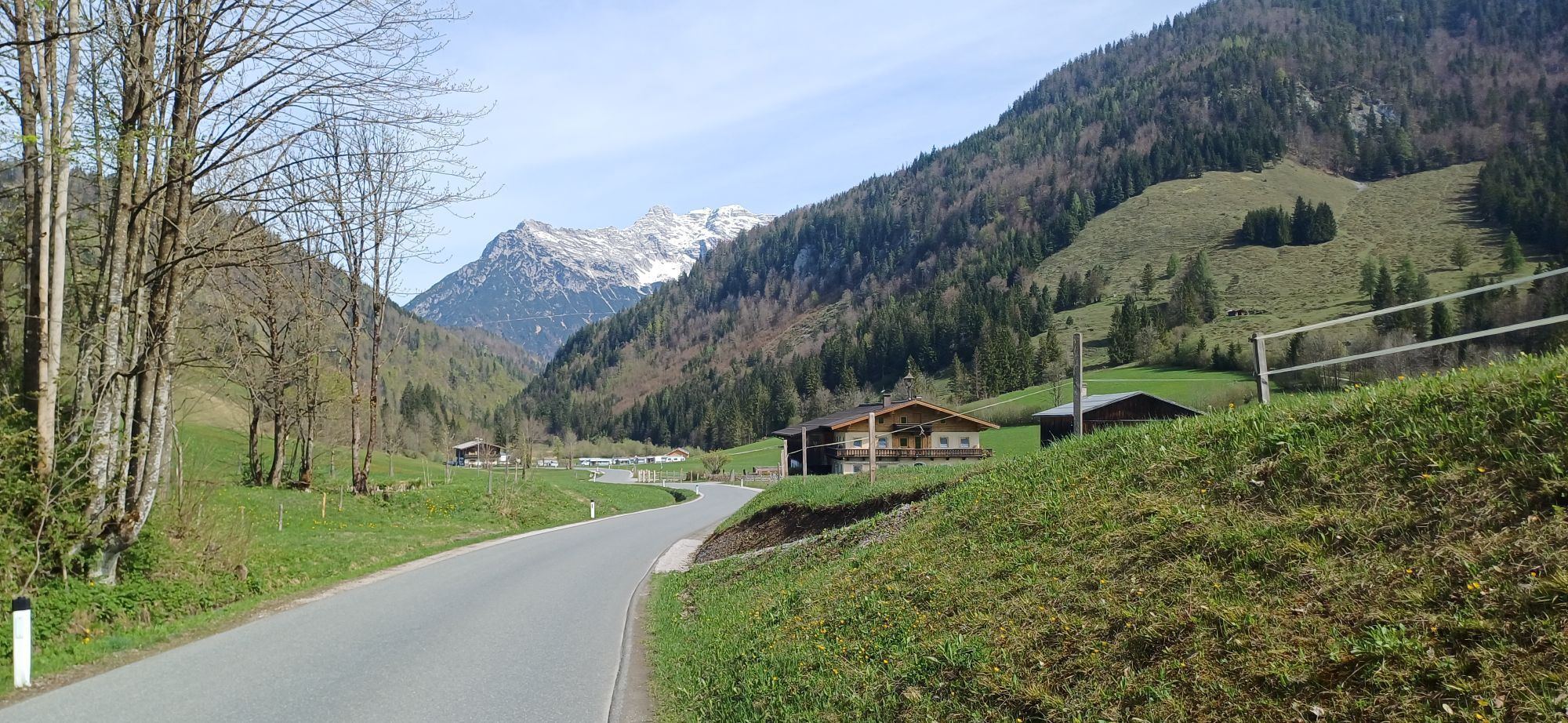
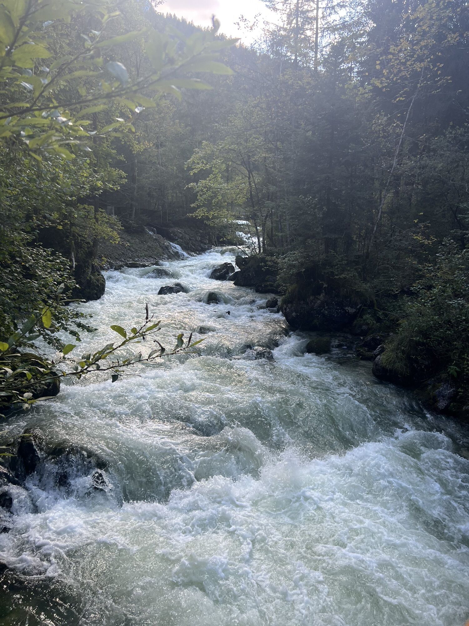
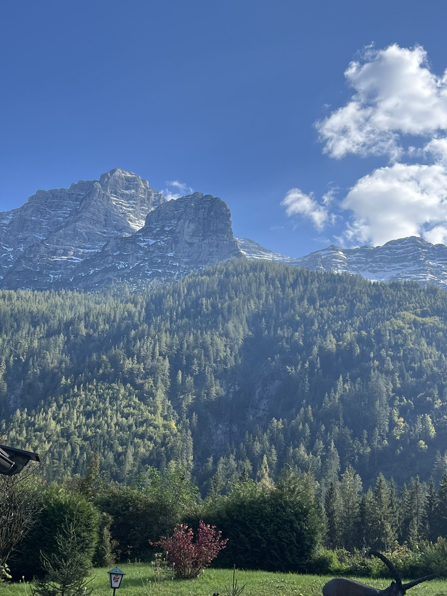
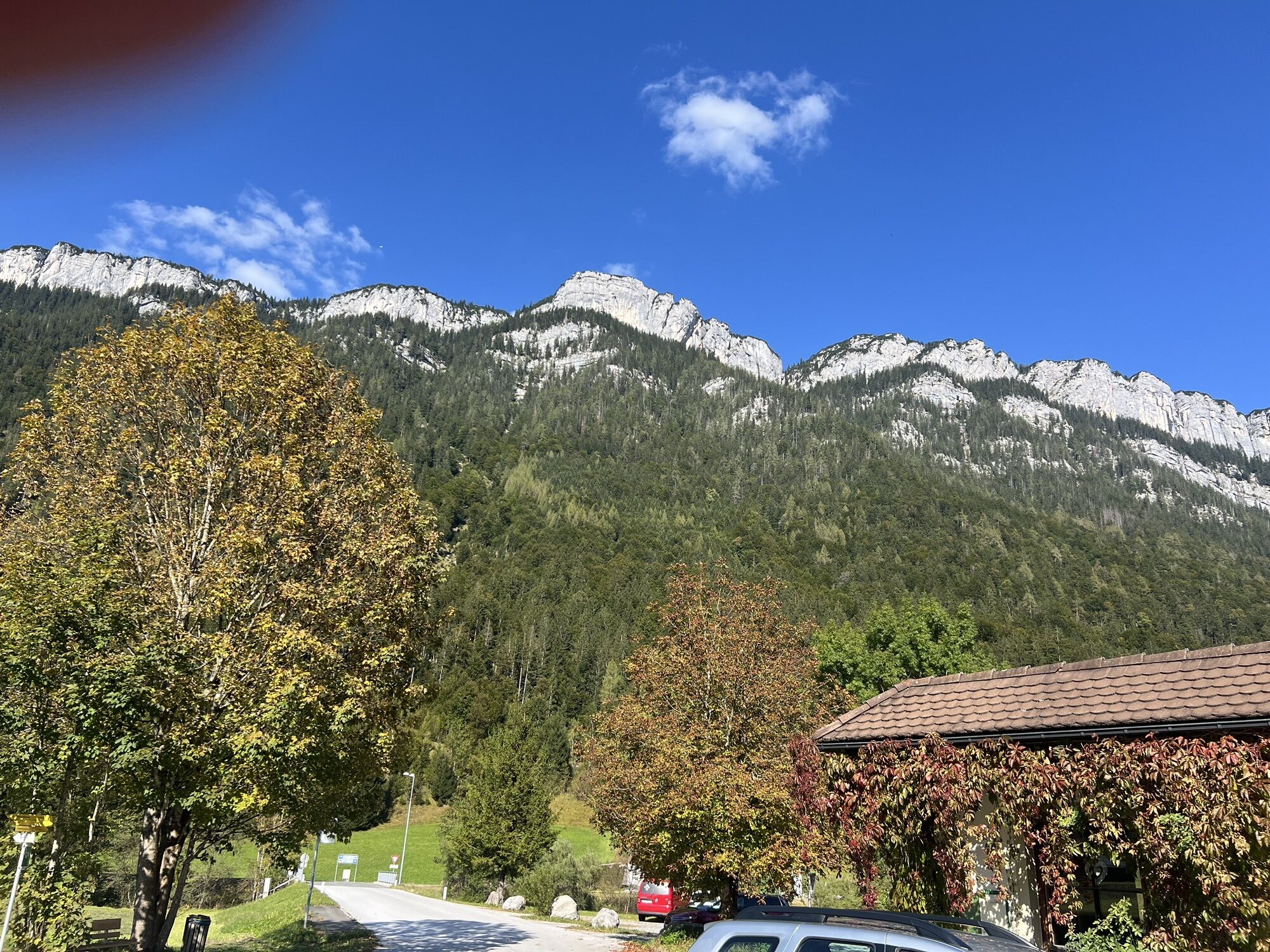

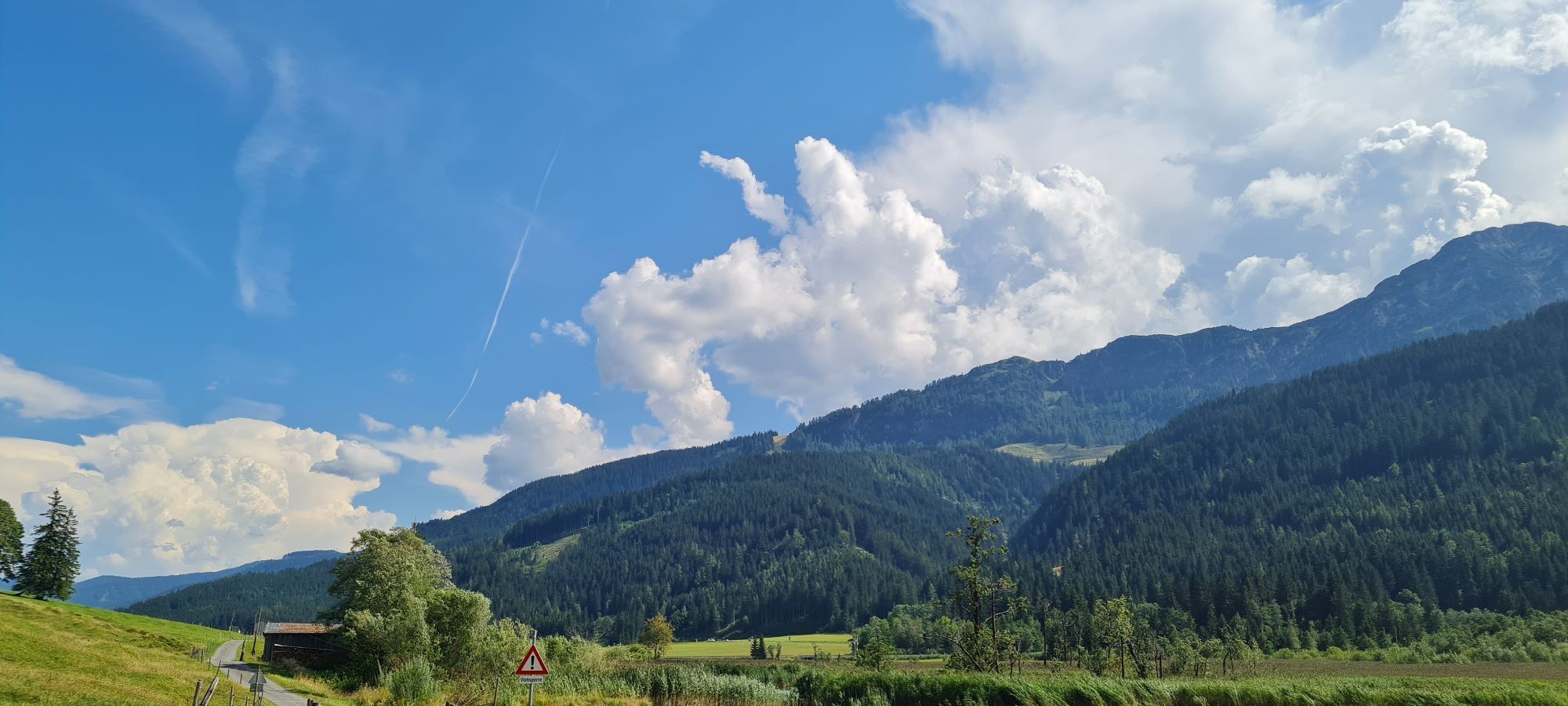
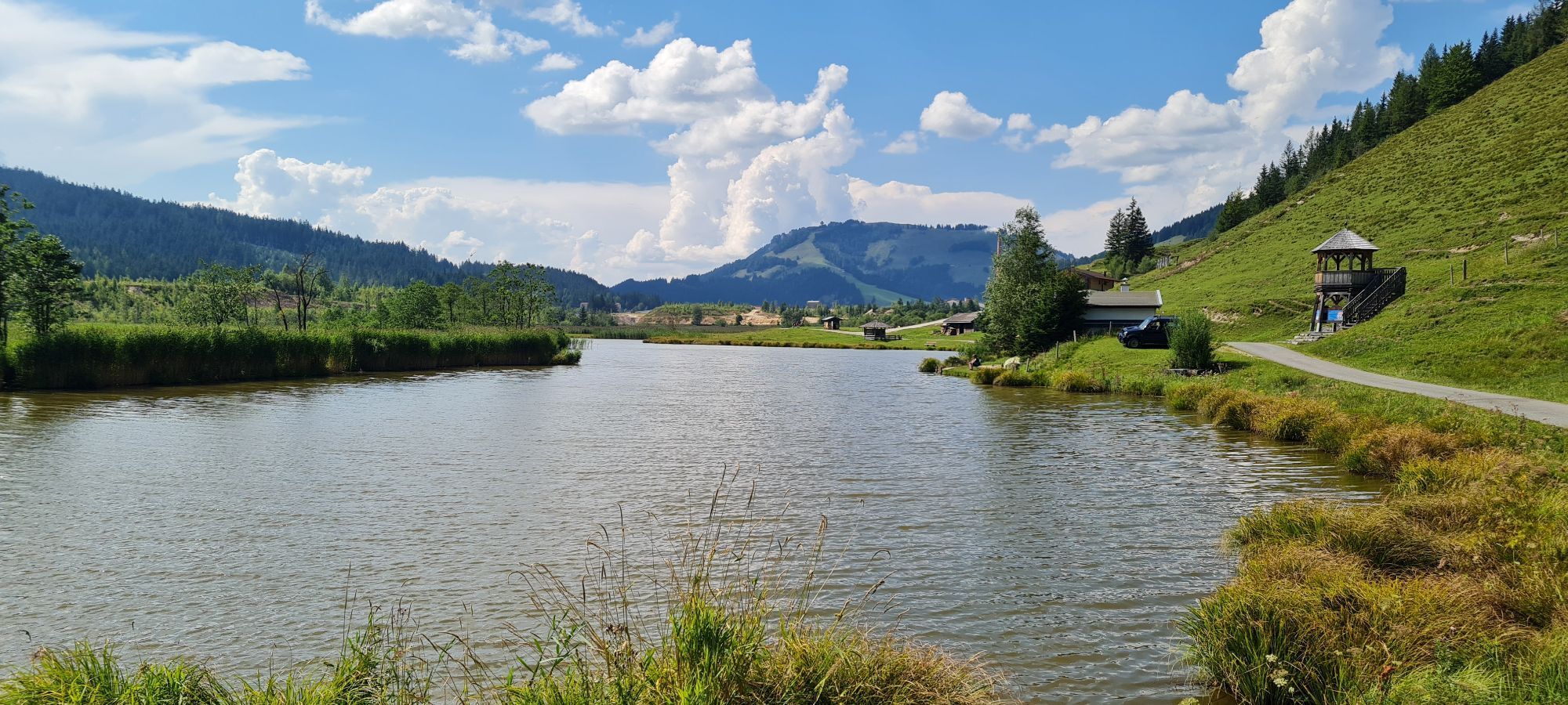
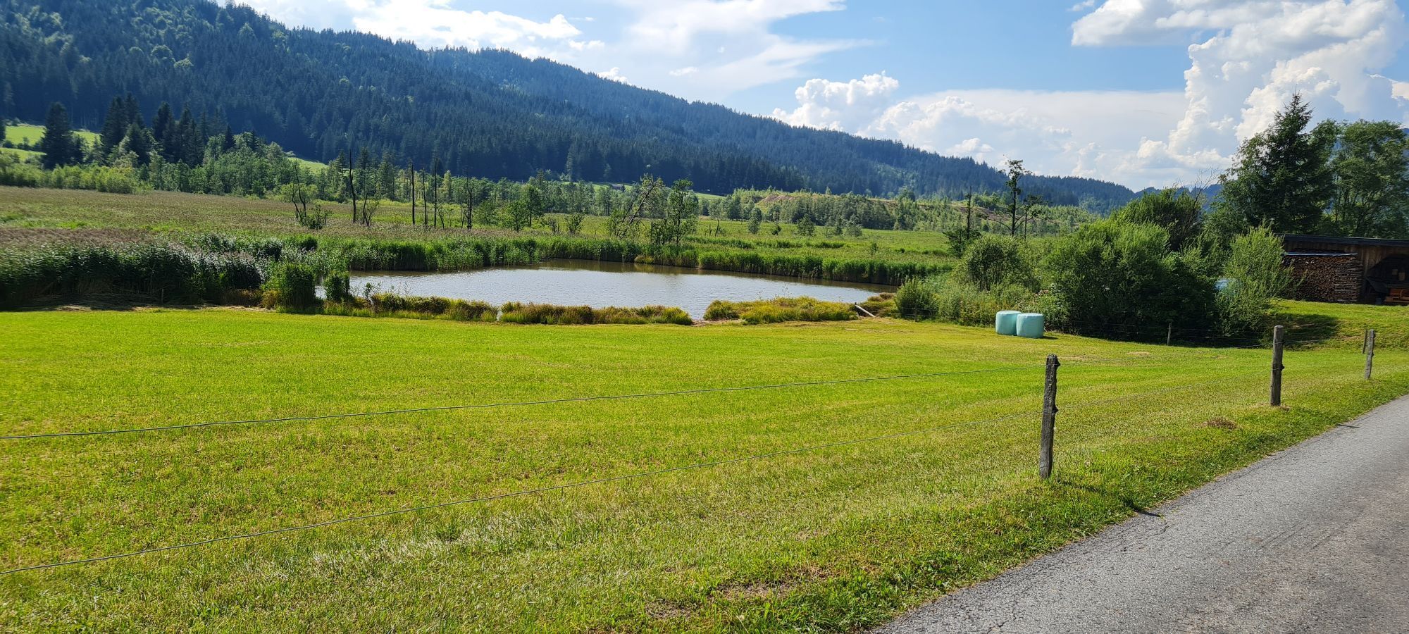
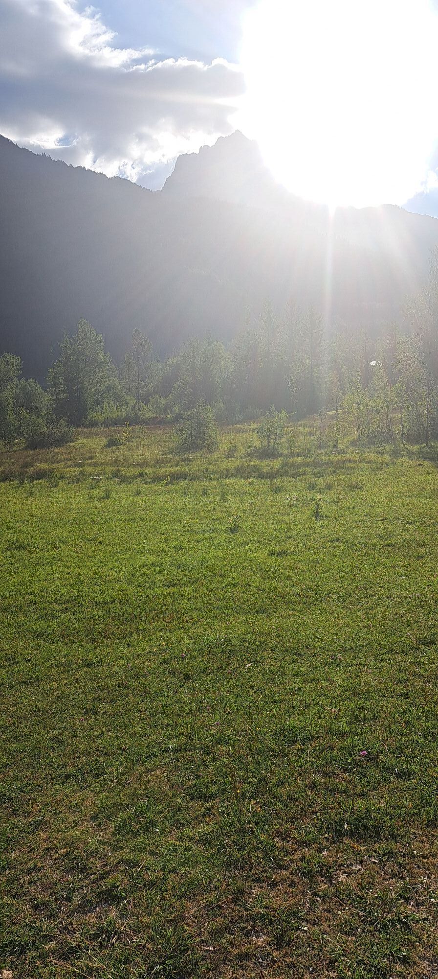
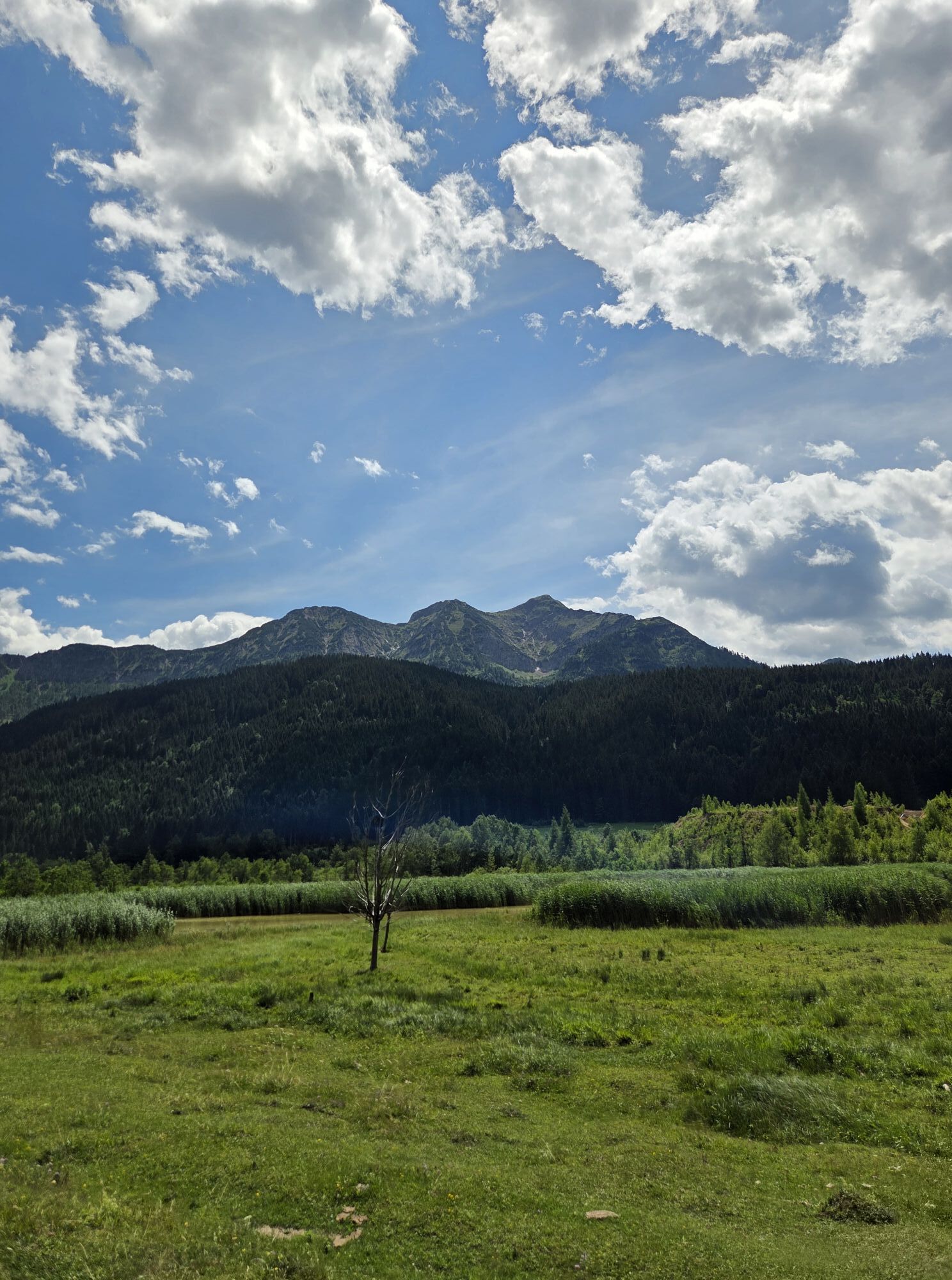
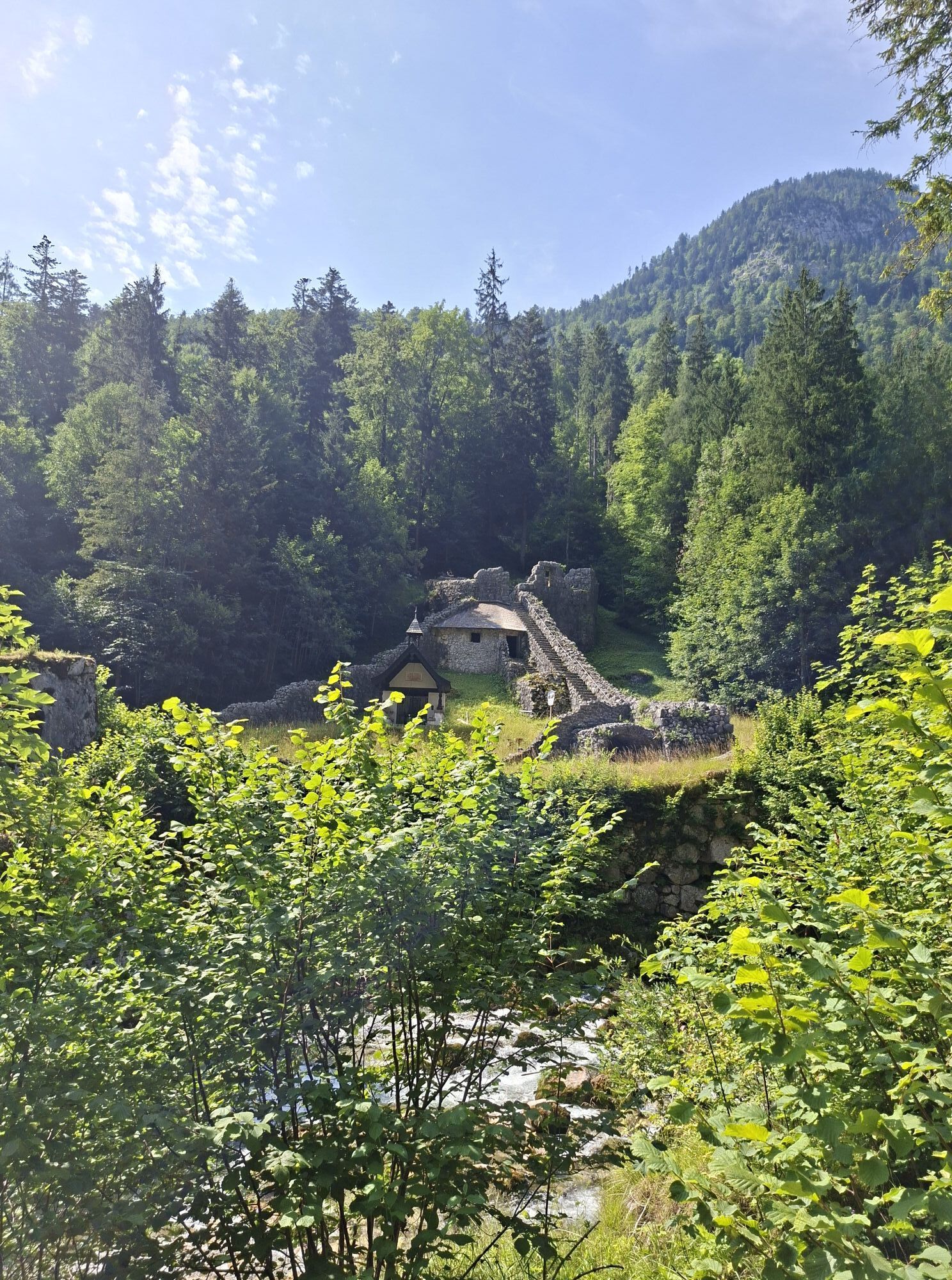
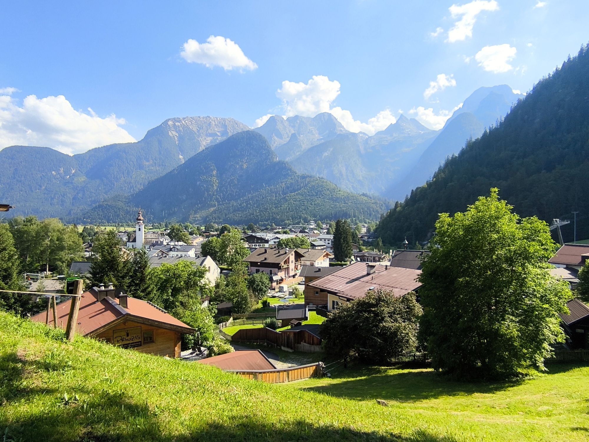
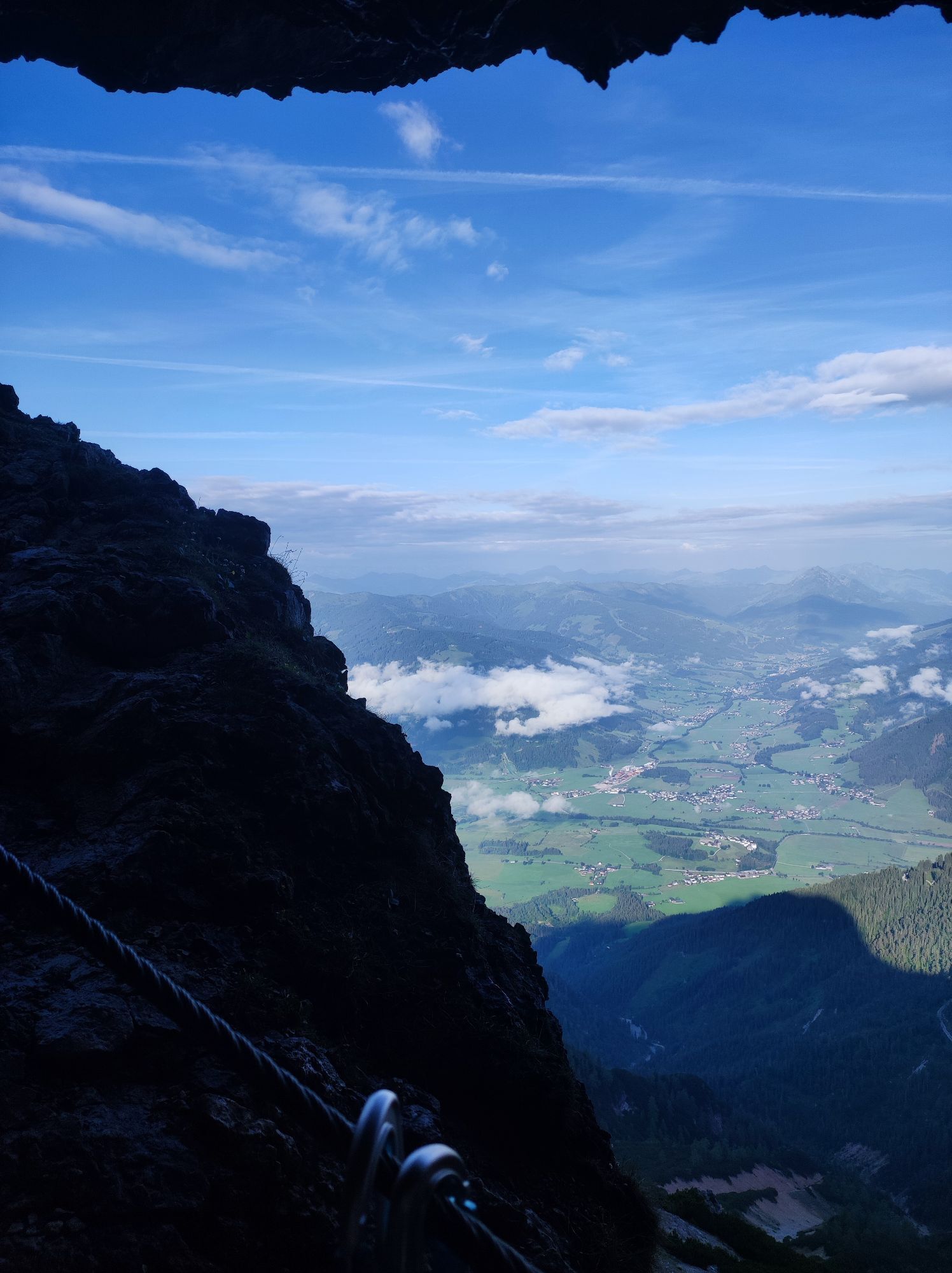
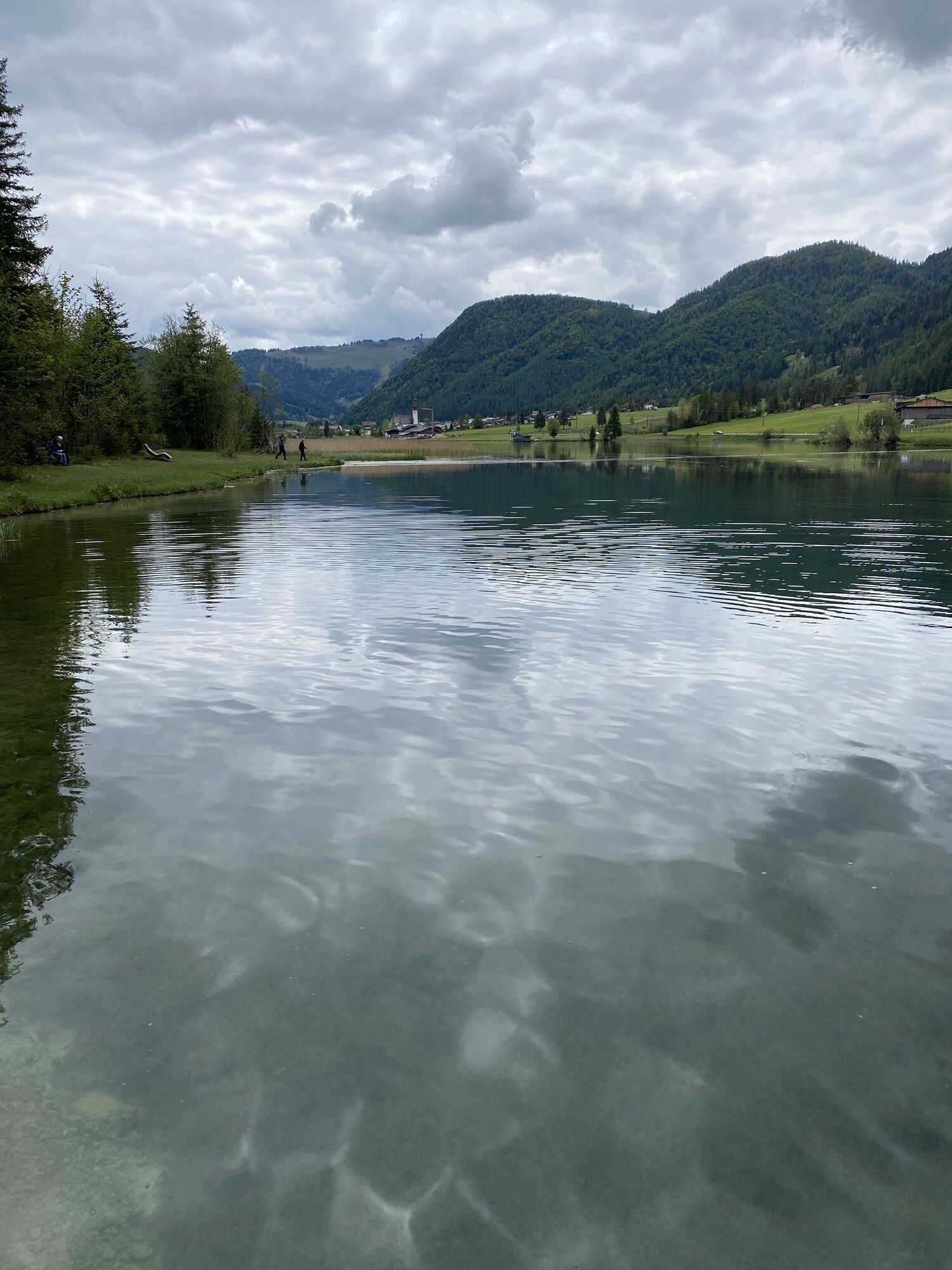
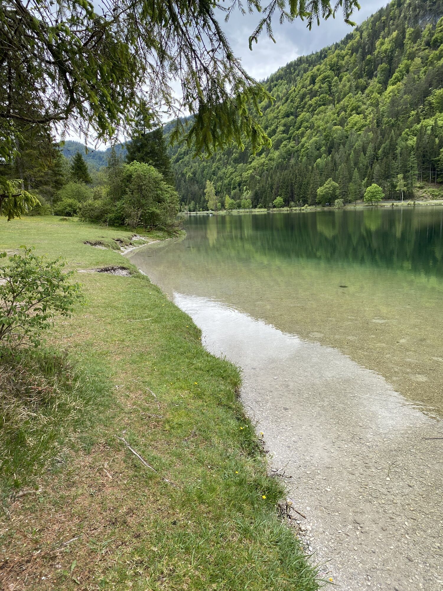
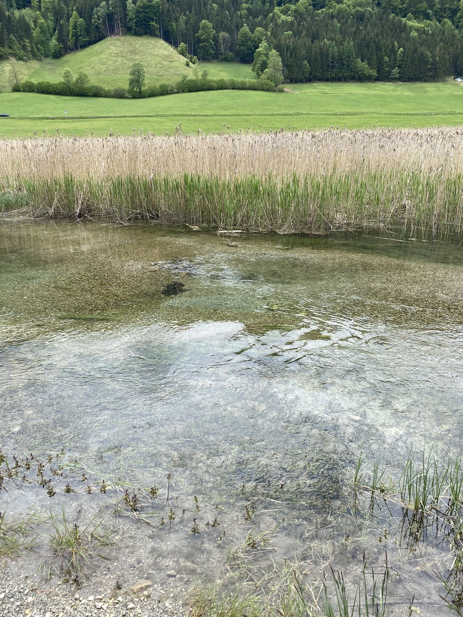
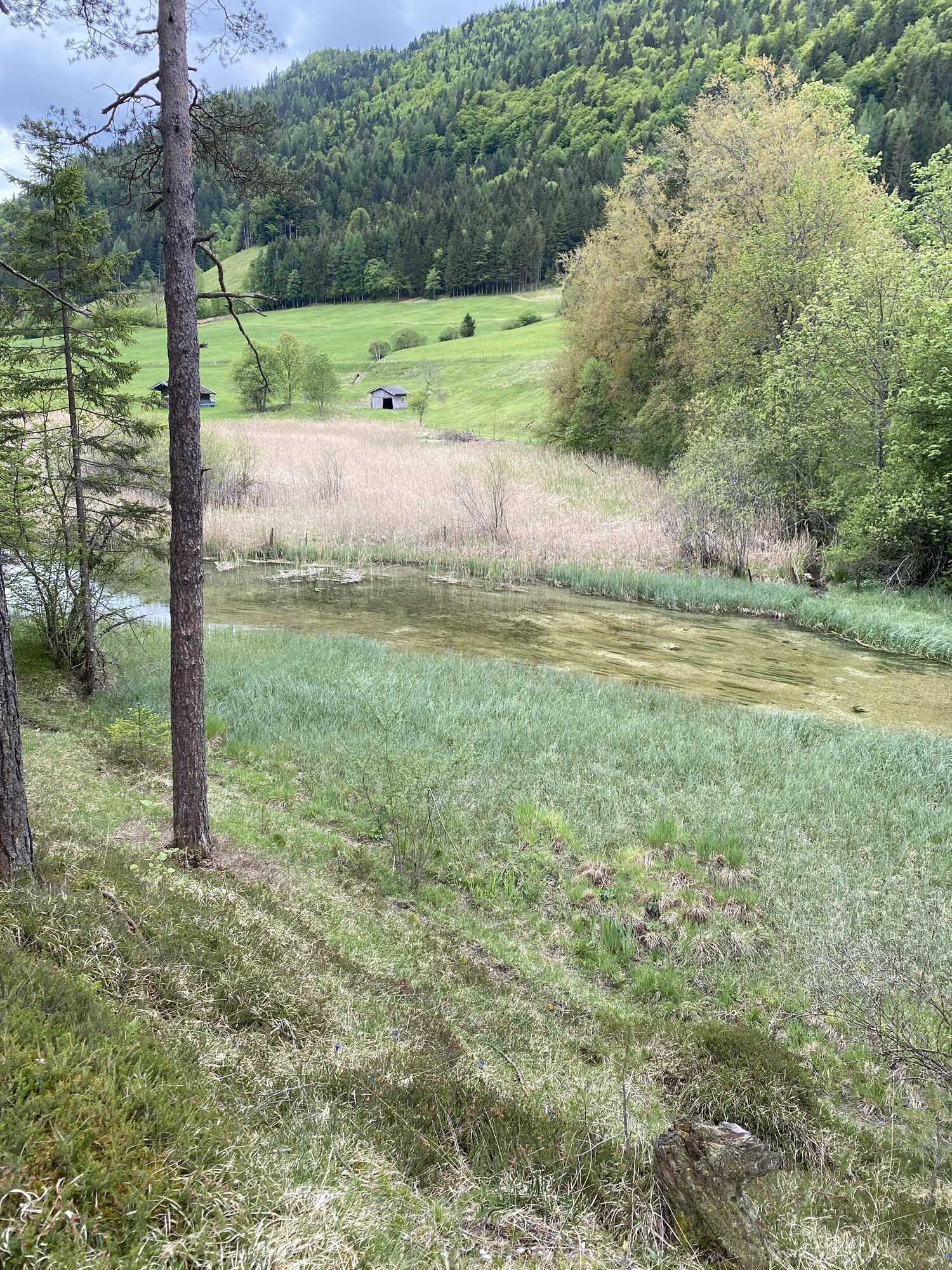
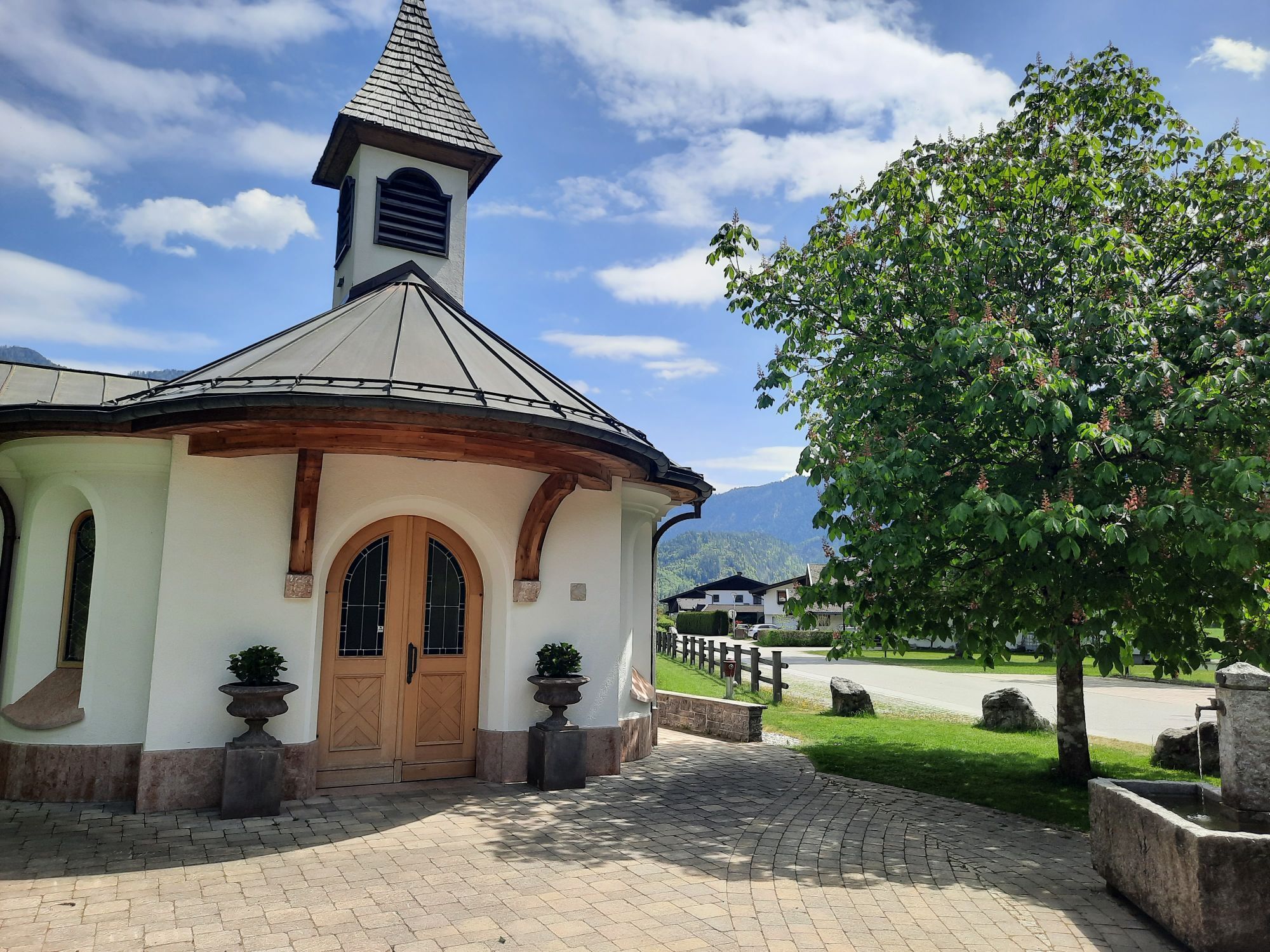
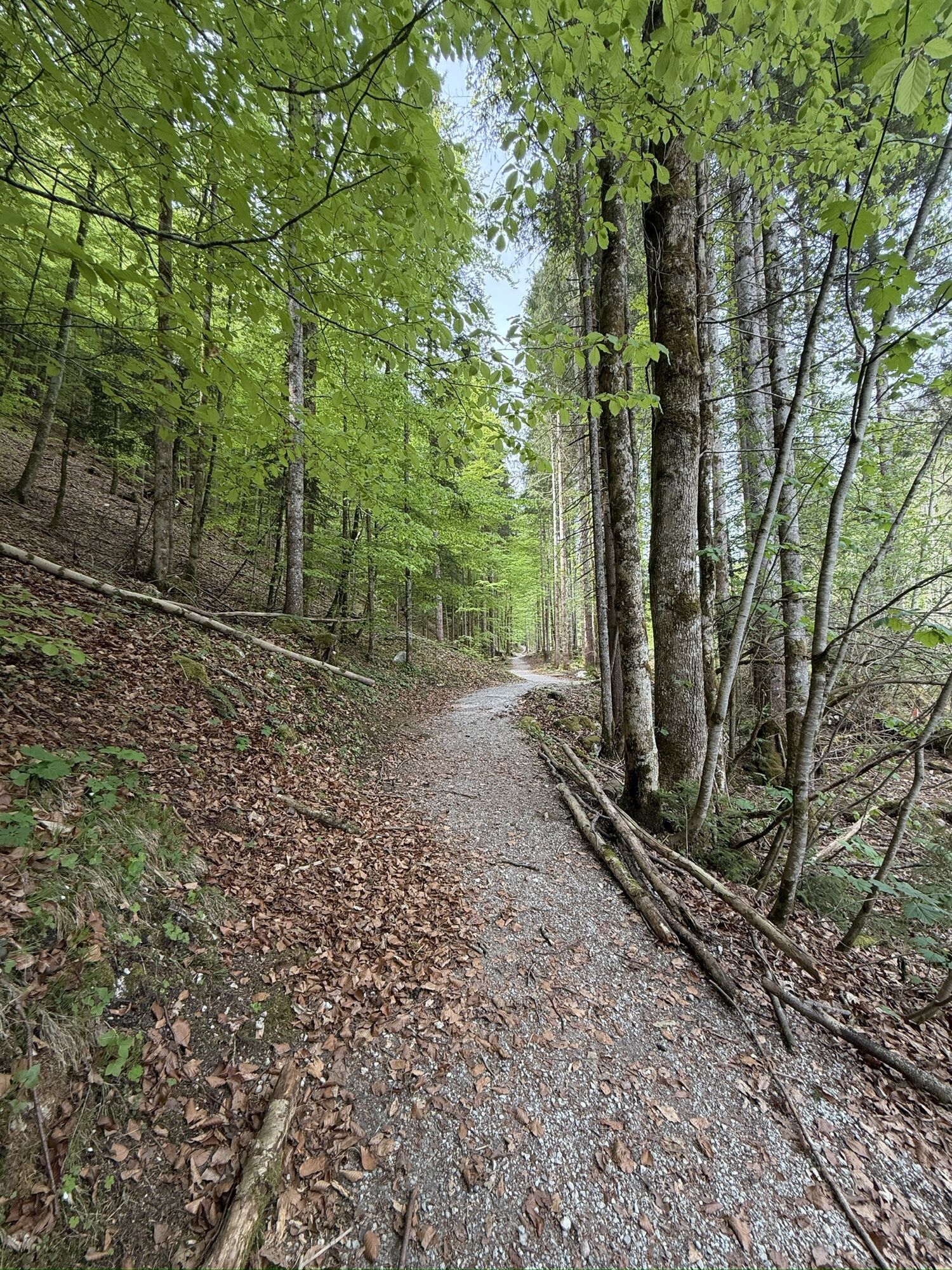
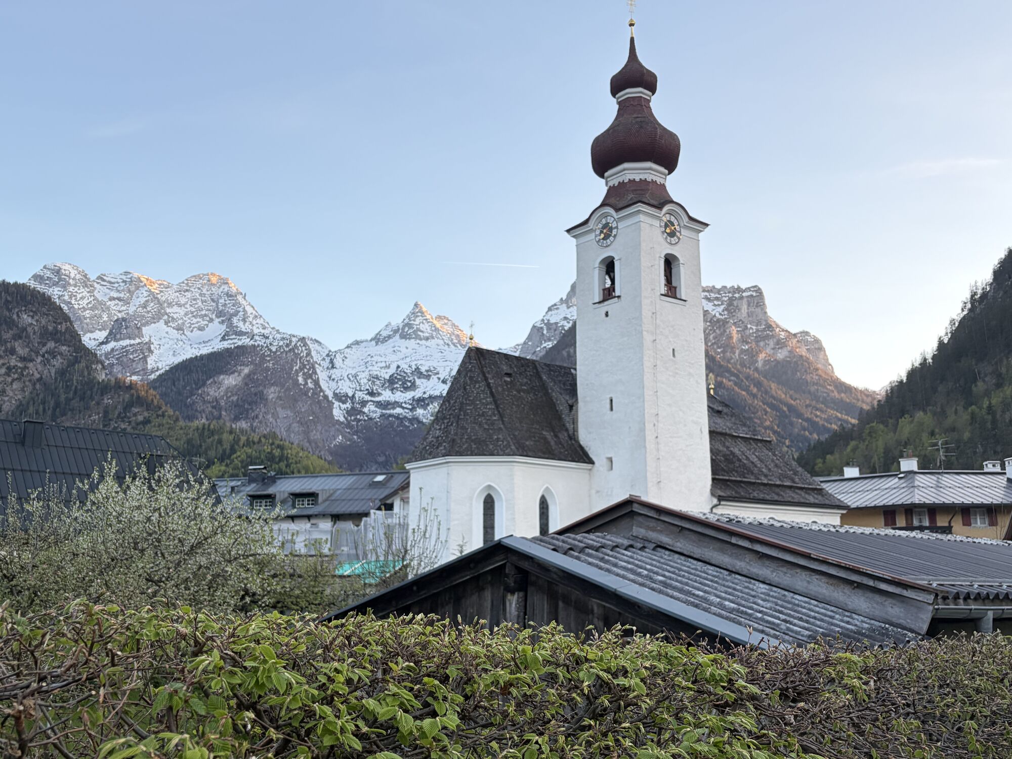
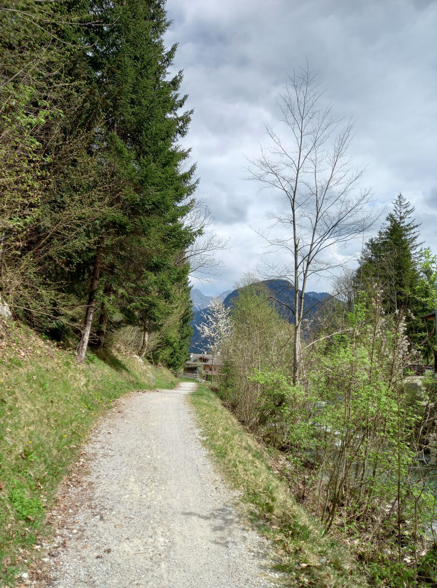
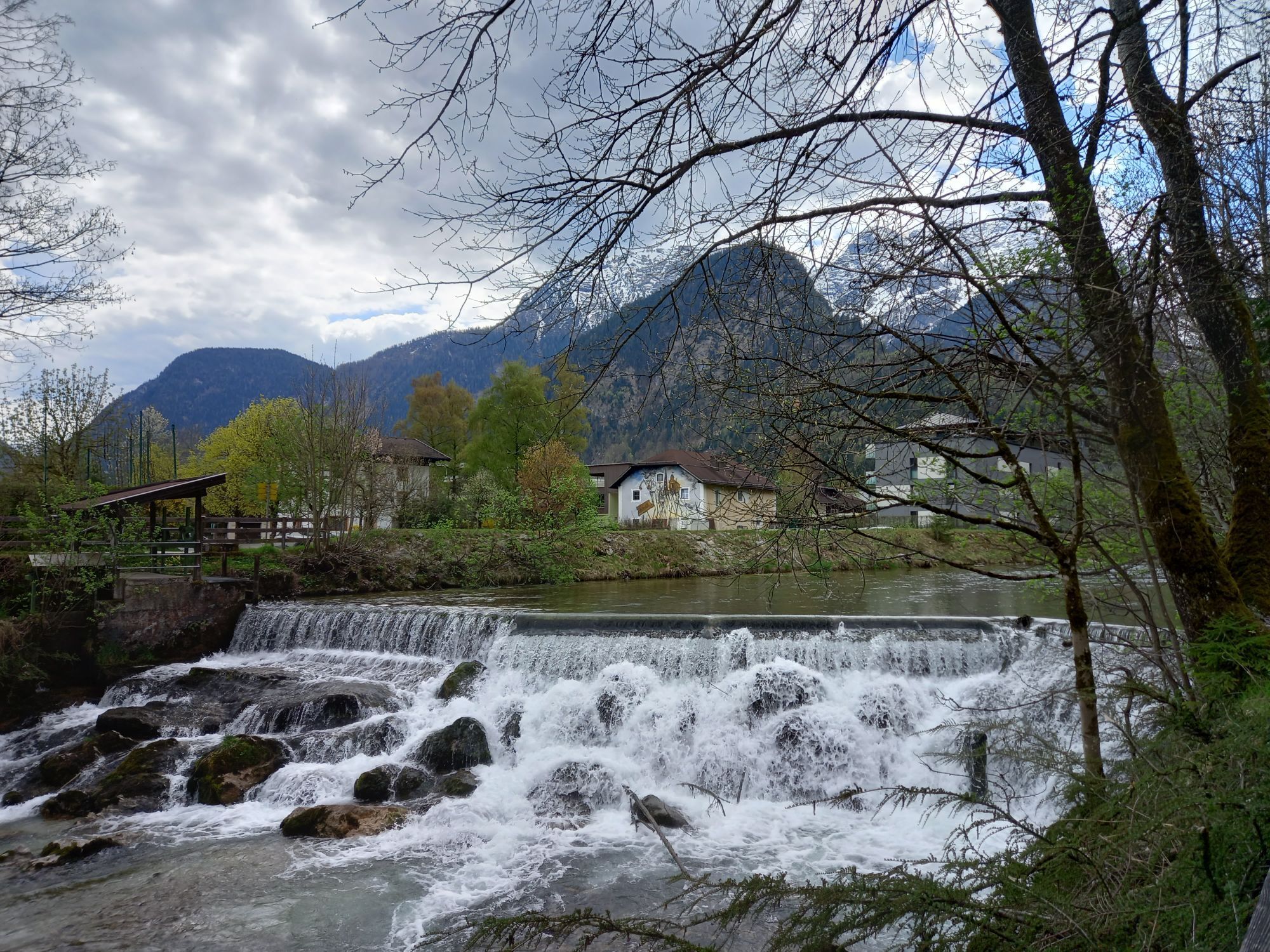
Bike round from Lofer via St. Martin and Weißbach to Saalfelden. From here it continues to Leogang and Hochfilzen up to Pillersee. At the end of the route, it goes back to Lofer via Waidring and Pass Strub.
Fitness: Strength...
Bike round from Lofer via St. Martin and Weißbach to Saalfelden. From here it continues to Leogang and Hochfilzen up to Pillersee. At the end of the route, it goes back to Lofer via Waidring and Pass Strub.
Fitness: Strength for at least 5 hours of pedaling over 68 km with about 450 meters of elevation gain.
Summary: The route runs on well-developed bike paths - mostly on asphalt. At the start of the route, it gently ascends to Saalfelden. From kilometer 25 to 40, about 250 meters of elevation have to be overcome. From here it is mostly downhill back to Lofer. There are several places to stop along the route.
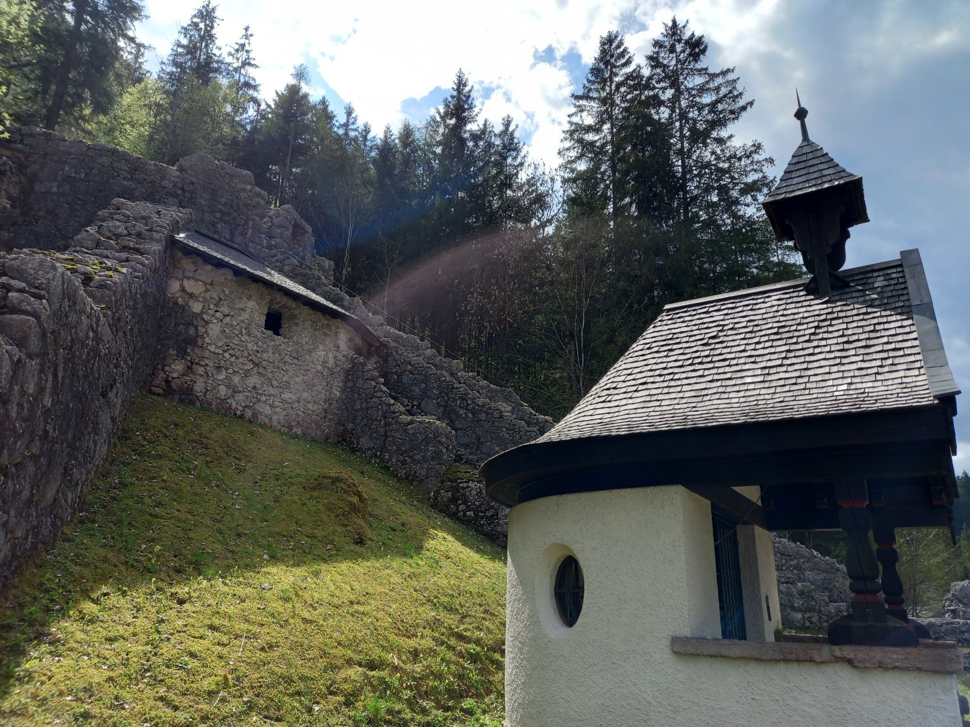
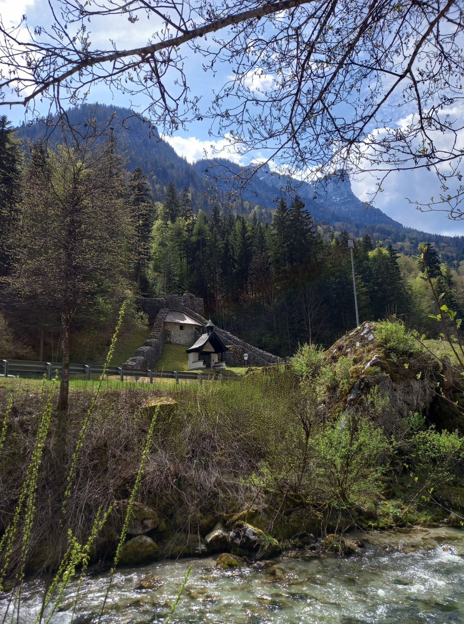
Route Highlights: Lamprecht Cave & Seisenberg Gorge at the beginning of the route. Bike park in Leogang, Pillersee, or Kneipp facility Lofer for cooling off at the end of the route.
The route is part of the “Biking with Kids” in the Salzburger Saalachtal. Duration and difficulty are designed for children/families.
Route SASA10 in the bike map Salzburger Saalachtal

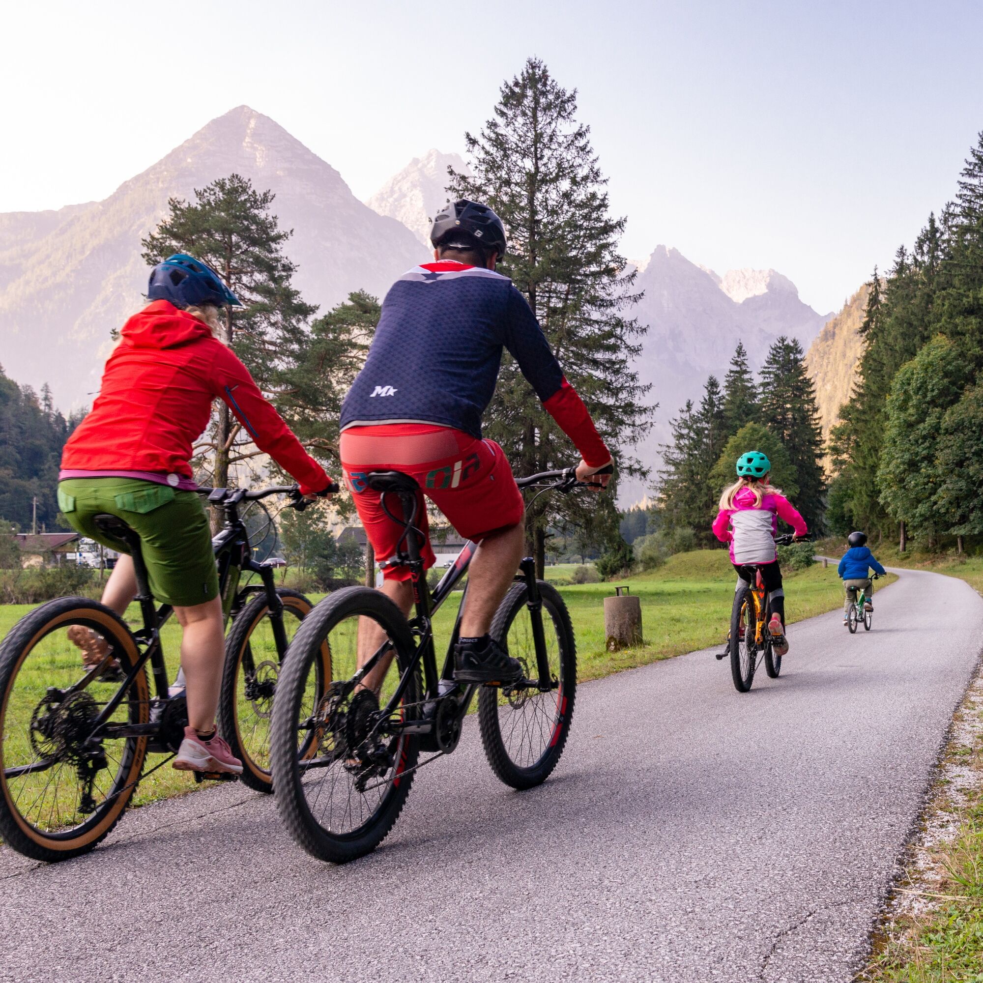
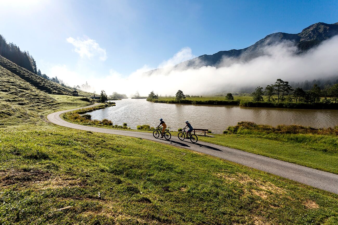
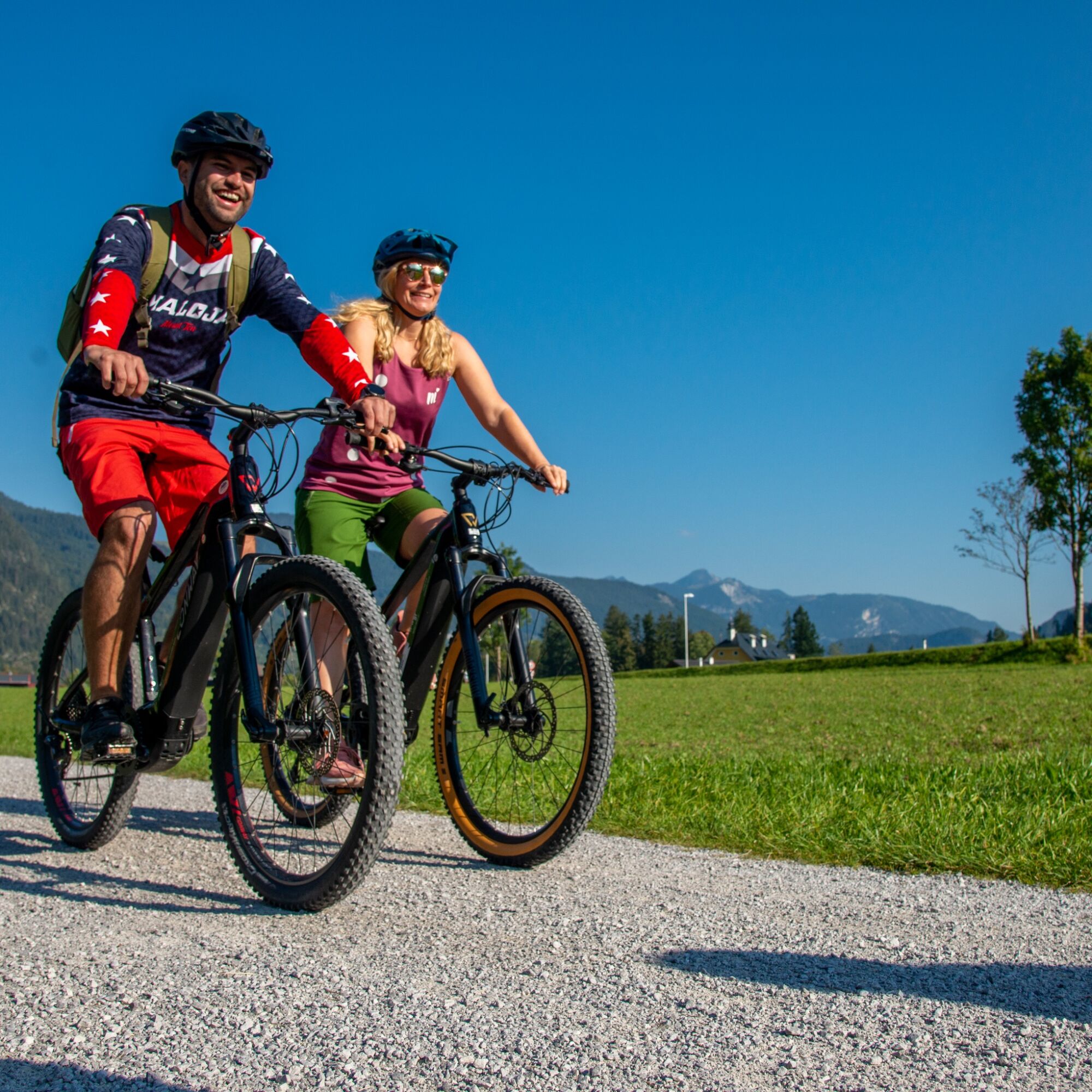
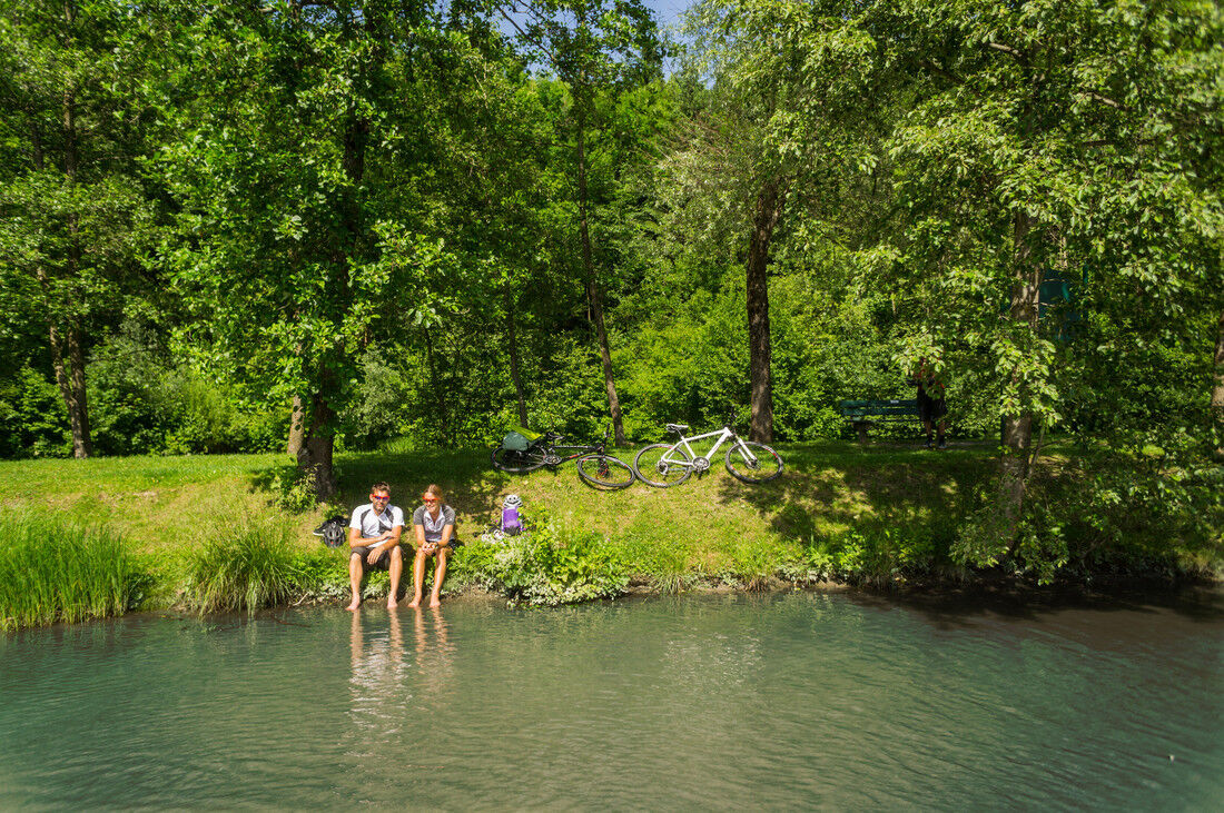

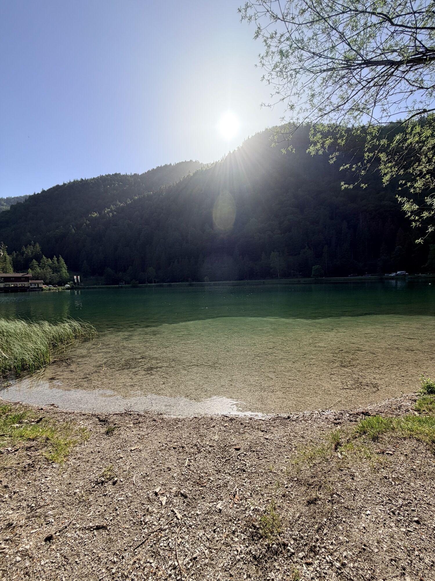
The Steinberg route starting in the Salzburger Saalachtal. Starting from Lofer, the route leads via St. Martin and Weißbach towards Saalfelden. At the Gasthof Schörhof, you follow the bike path via Lenzing to Leogang and Hochfilzen, the highest point of our route. Once you arrive in Hochfilzen, you have completed the biggest effort, now it is a leisurely descent to St. Ulrich am Pillersee. If you wish, you can cool your feet in the crystal-clear water of the lake before heading back to Lofer via Waidring.
Generally, a "start" on the Steinberg route is possible from any of the surrounding towns.
Áno
Take along a repair kit, first aid kit, mobile phone, lights, gloves, sunglasses, and something to eat.
And of course, don’t forget the helmet.
Check brakes, tires, chain, and lighting.
Via the B311 or B178 to the center of Lofer (arrival)
Bus 260 (timetable) to Lofer TVB/Middleware School
Parking is available at the large parking lot in Lofer (P2)
You should definitely take the time to look at the sculptures displayed along the way.


Webové kamery z prehliadky
-
Asitz Gipfel
-
Berghotel Seidl-Alm
-
Schwarzlofer
-
Waidring - Kammerkör
-
Asitz Mittelstation
-
Bergstation Almbahn II
-
Sommerrodelbahn
-
Hochfilzen - Ferienwohnungen Schreder
-
Almenwelt Lofer
-
Almenwelt Lofer
-
Almenwelt Lofer
-
Almenwelt Lofer
-
Almenwelt Lofer
-
Almenwelt Lofer
-
Almenwelt Lofer
-
Almenwelt Lofer
-
Almenwelt Lofer
-
Loderbichl - Talblick von Mittelstation, 1000 m
-
Waidring
-
Asitz Talstation
-
St. Jakob im Pillerseetal
-
St.Ulrich im Pillerseetal
-
Fieberbrunn - Buchensteinwand in Tirol
-
Leogang
-
Saalfelden
-
Großer Asitz / Gipfelkreuz
-
Leogang Schanteilift
-
Almenwelt Lofer - Talstation
-
Saalbach-Hinterglemm - Wildenkarkogel
-
Wildenkarkogel
-
Sommerrodelbahn
-
Sommerrodelbahn
-
Sommerrodelbahn
-
Sommerrodelbahn
-
Talstation Asitzbahn
-
Peter Wiechenthaler Hütte
-
Lofer
-
Saalbach-Hinterglemm - Kohlmais
-
Waidring Schweizerhof
-
Leogang - Grosser Asitz
Získajte prehľad
Vždy naživo na mieste s viac ako 9 500 webovými kamerami. bergfex Ako používateľ Pro si teraz môžete pozrieť príslušné webové kamery pre mnohé zájazdy v aplikácii zájazdy z. Môžete si tak priamo prezerať aktuálne podmienky.
Obľúbené výlety v okolí
-
4,6
Steinalm
svetloTuristika 2,71 km -
4,5
Peter-Wiechenthaler Hut
strednáTuristika 4,32 km -
4,5
Seisenberg Gorge
svetloTuristika 2,41 km -
4,8
Over the waterfall trail into the Almenwelt Lofer
strednáTuristika 3,29 km -
4,8
Loferer Steinberge, zum Hinterhorn über die Schmid-Zabierow Hütte, 19.06.22
ťažkéTuristika 14,0 km -
4,2
Persailhorn South via ferrata
strednáVia ferrata 6,83 km -
4,2
Passauer Hütte
ťažkéTuristika 4,14 km -
4,6
Birnbachloch Leogang, Österreich
strednáTuristika 5,18 km -
4,0
Berg der Sinne
svetloTuristika 4,39 km -
4,6
Lettlkaser
strednáTuristika 4,40 km
Turistika a stopovanie


Nenechajte si ujsť ponuky a inšpiráciu na ďalšiu dovolenku
Vaša e-mailová adresa bol pridaný do poštového zoznamu.





