






LE 16 | Steinberg Round E-Bike
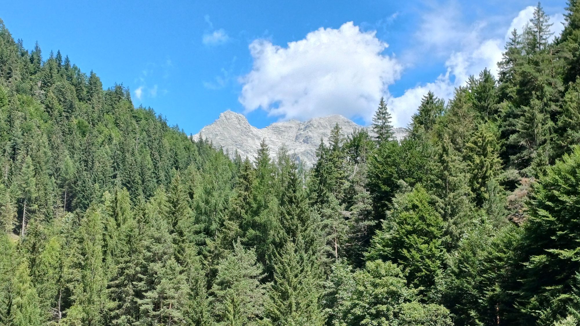
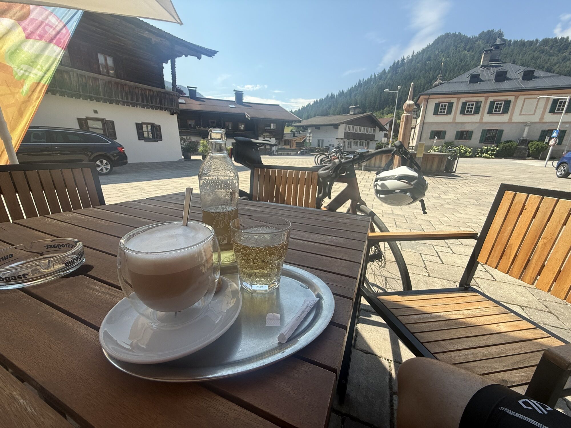
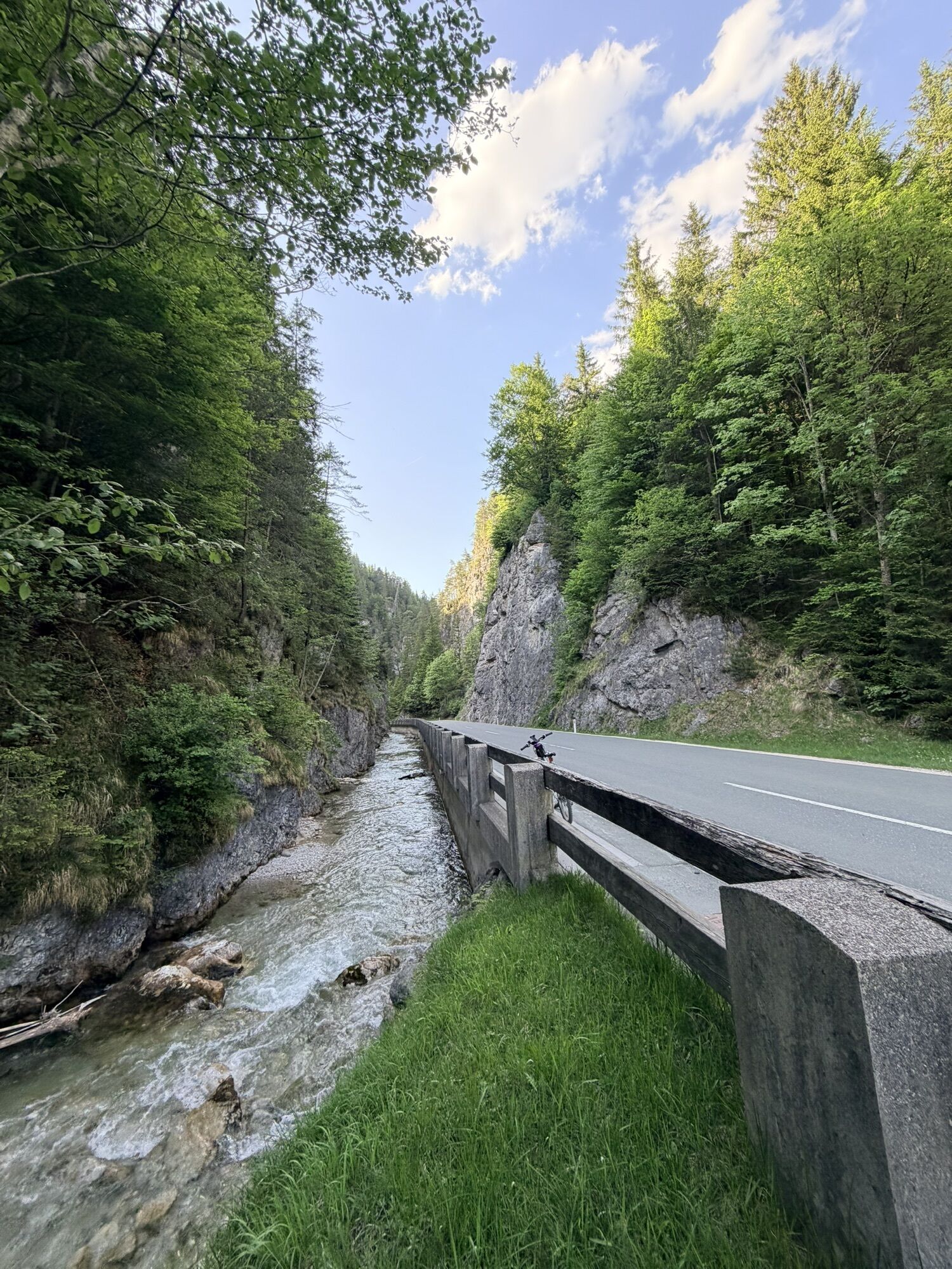
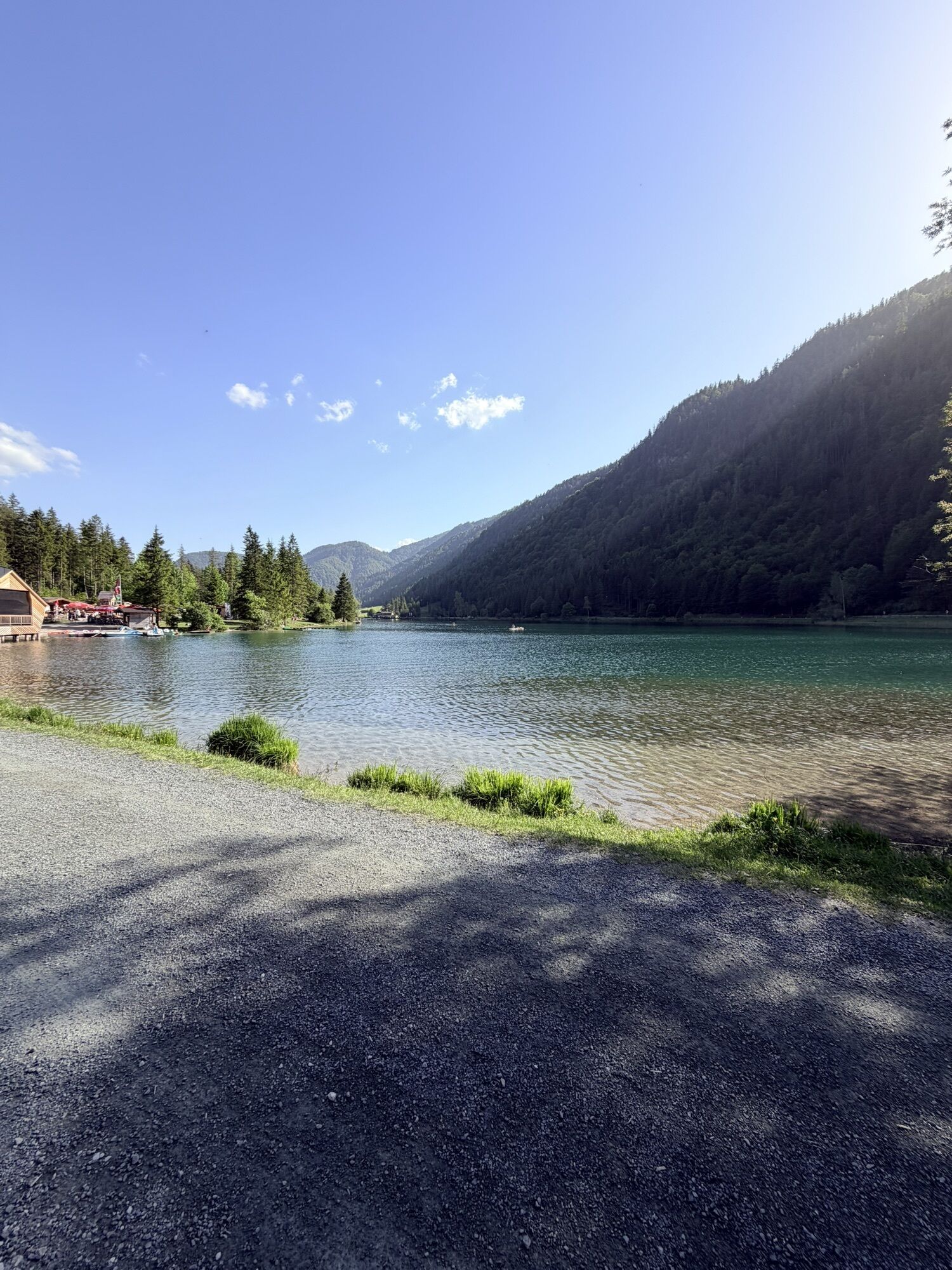
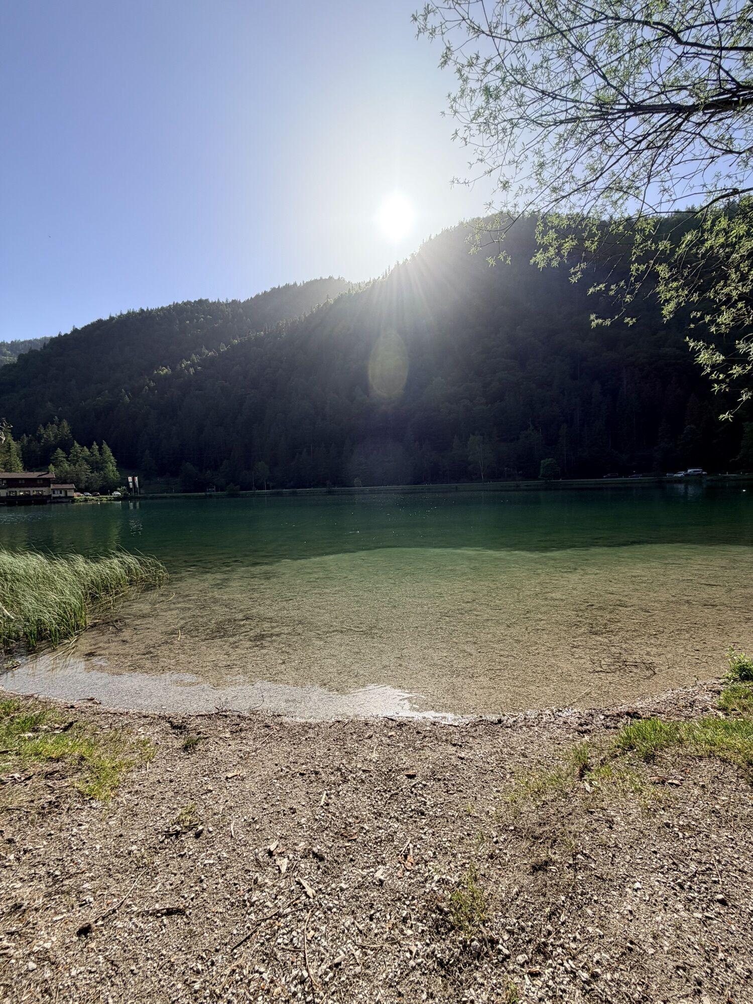
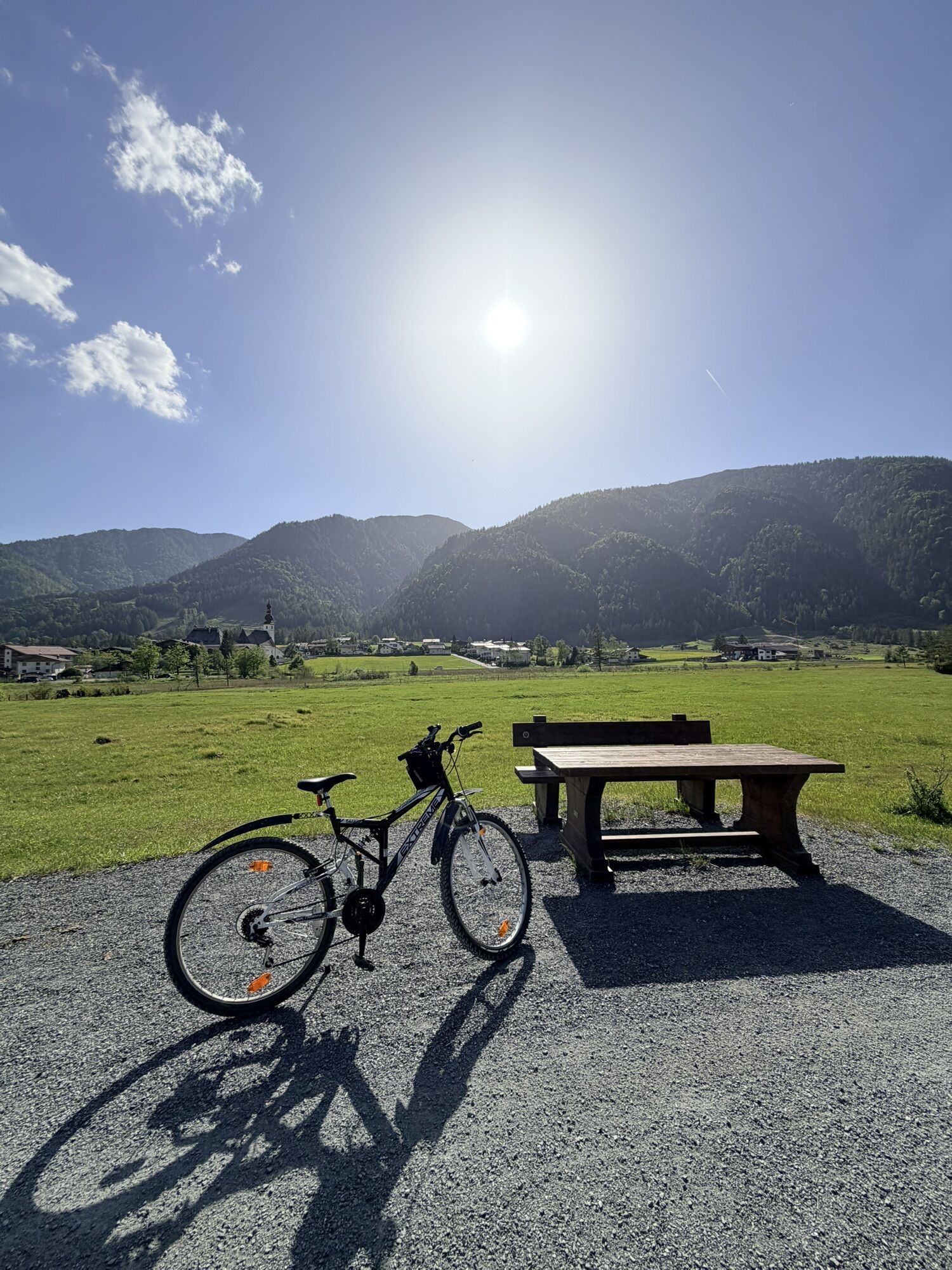
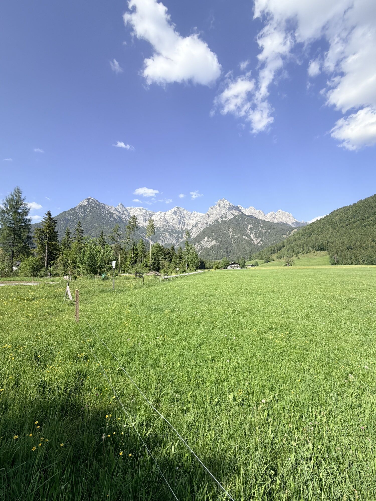
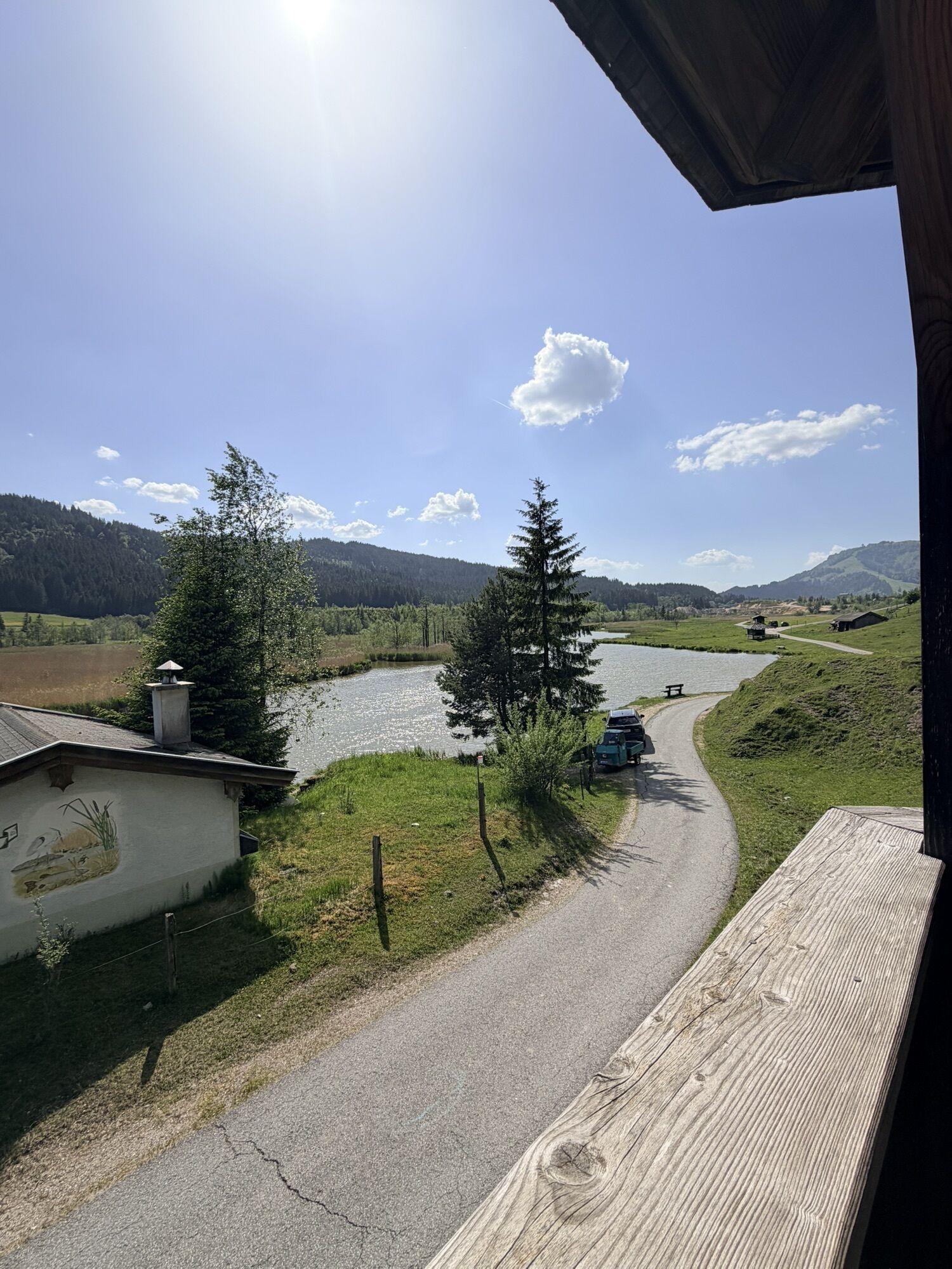
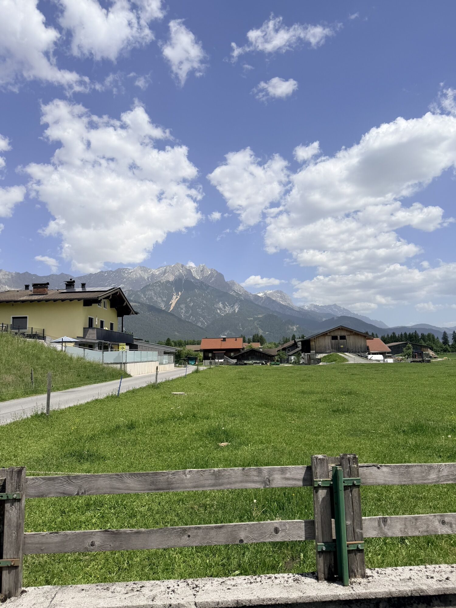
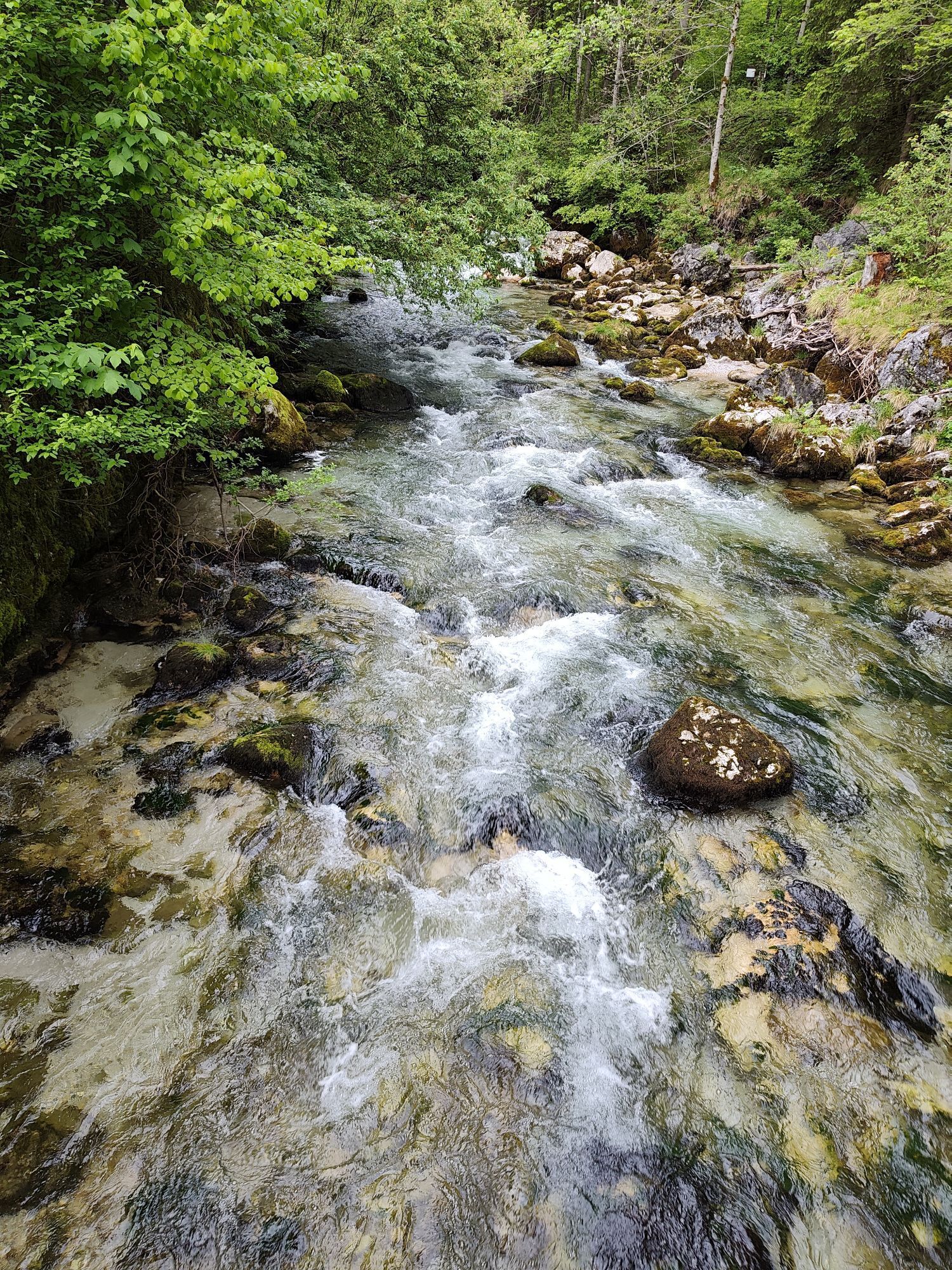
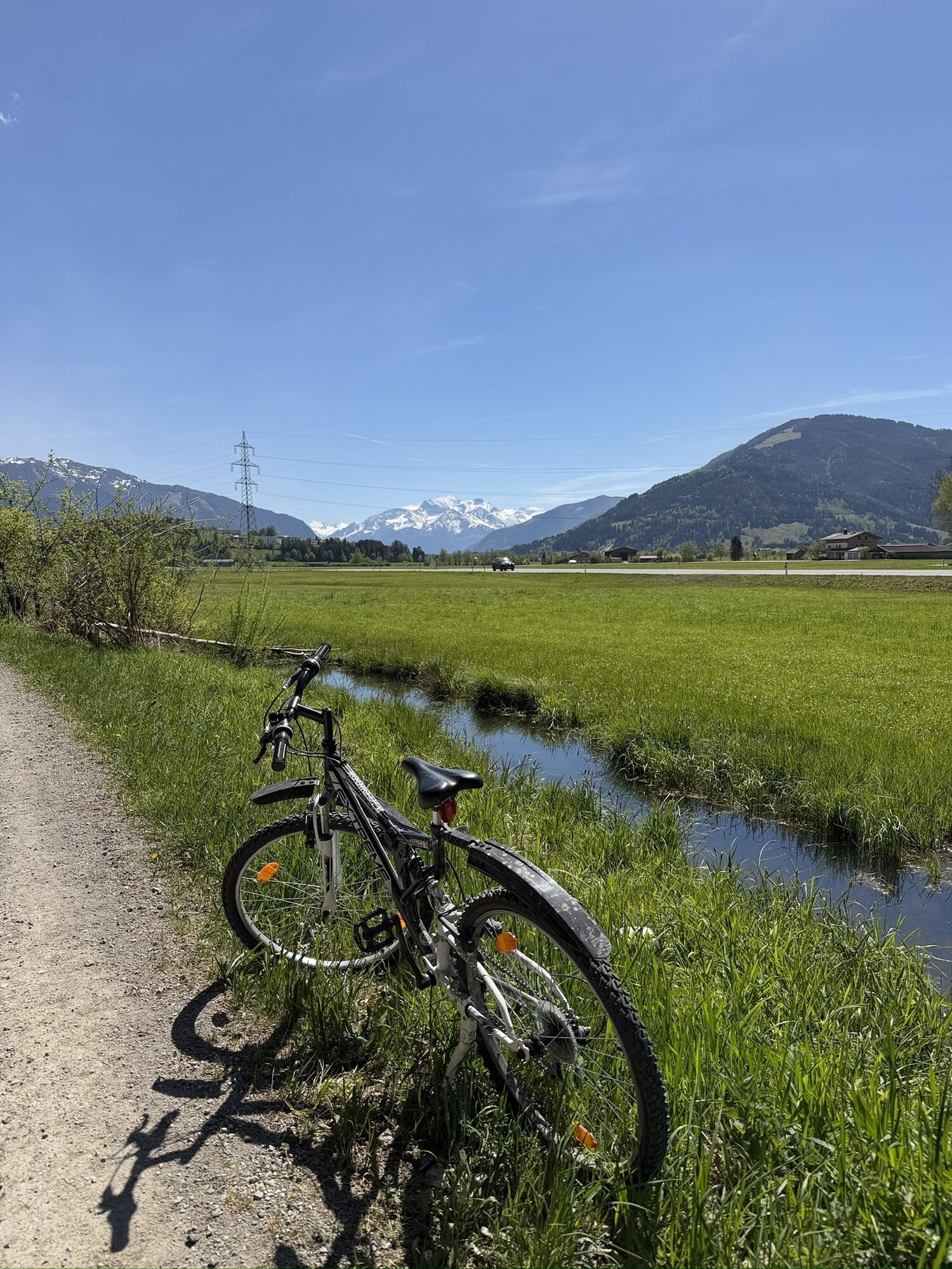
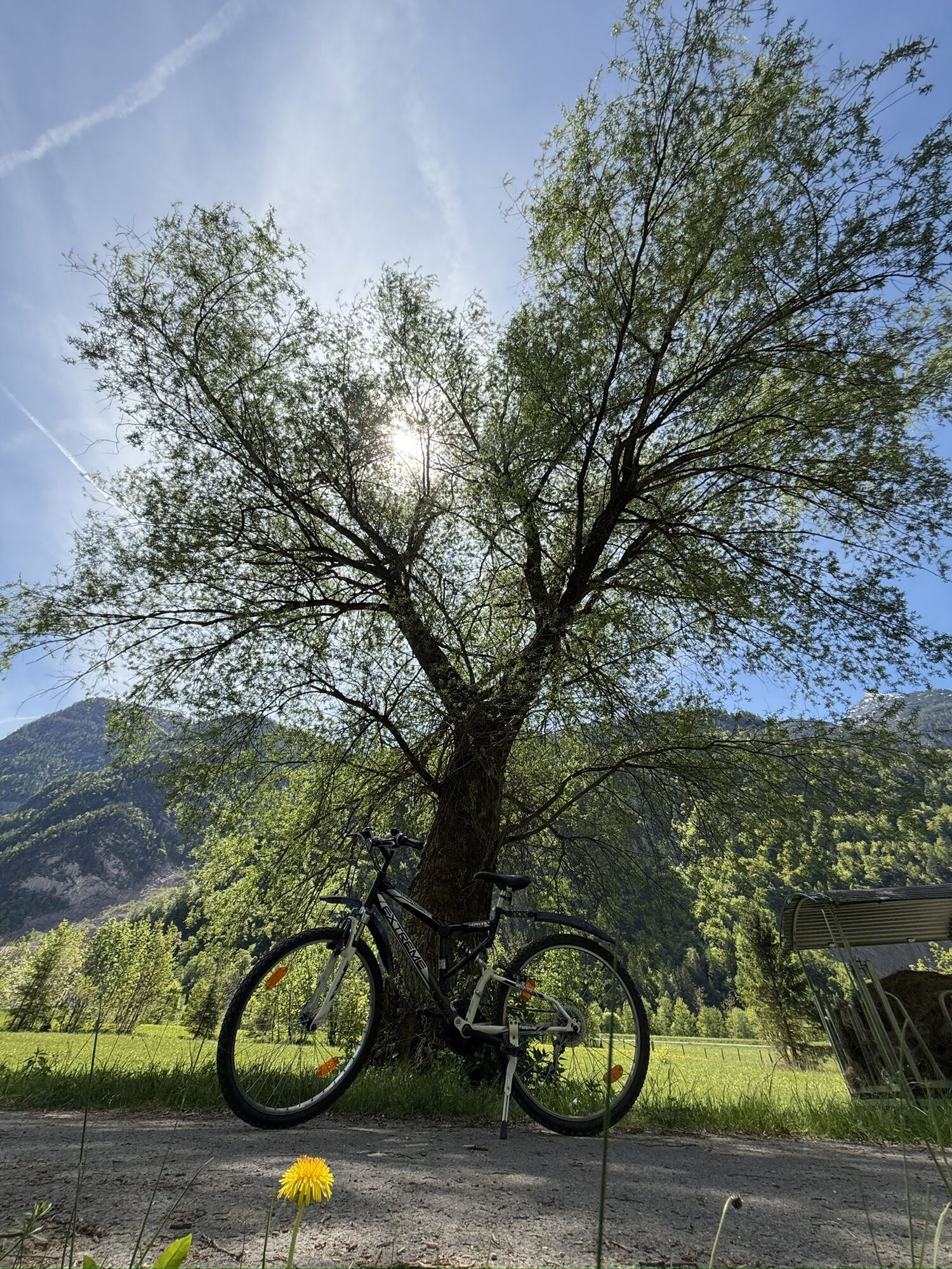
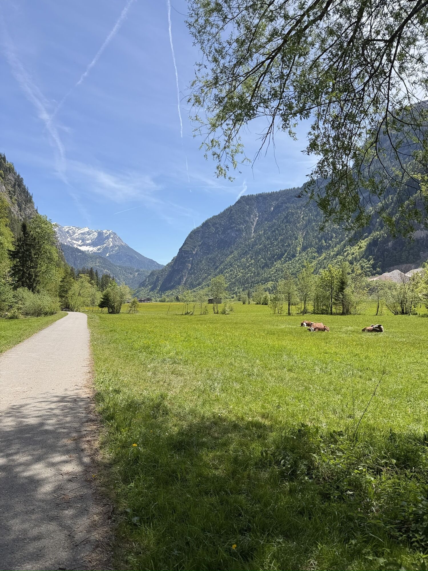
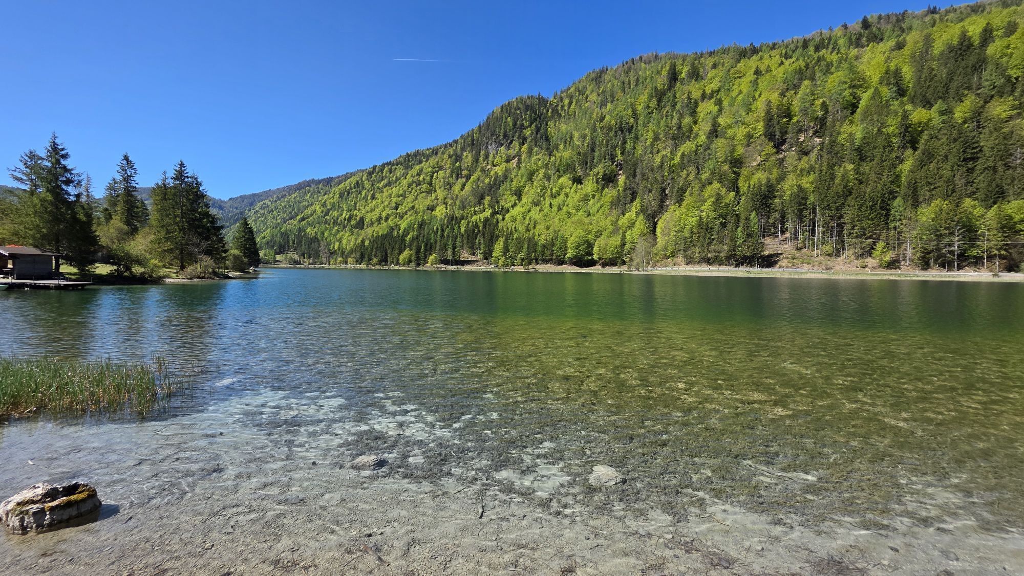
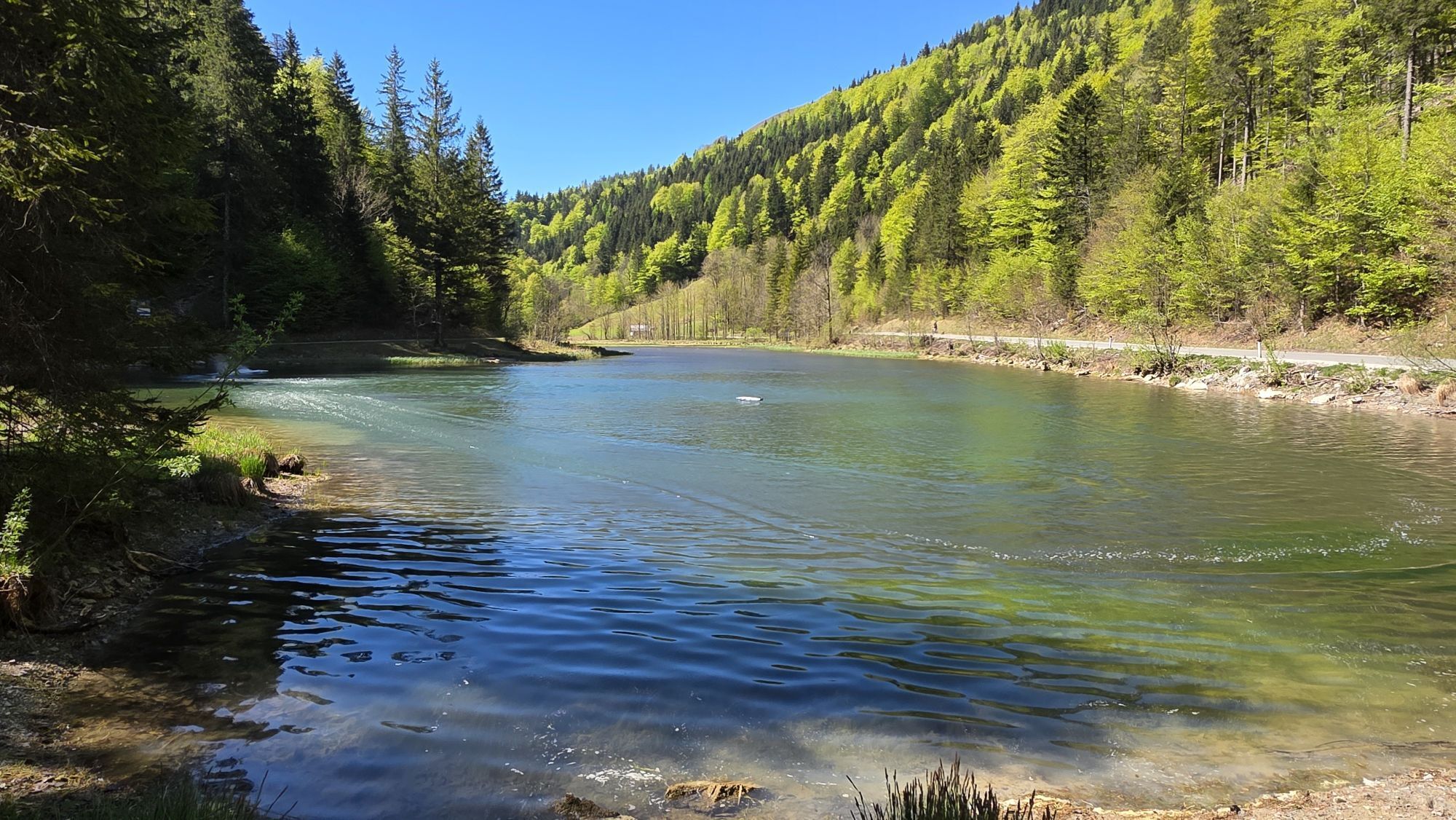
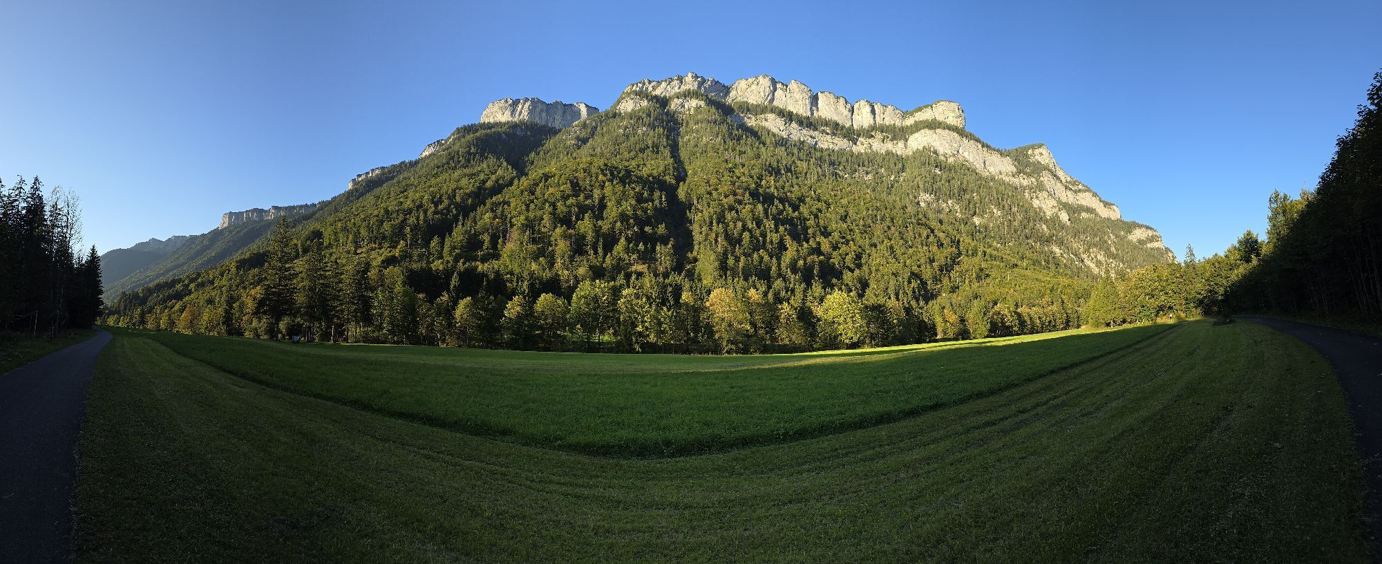
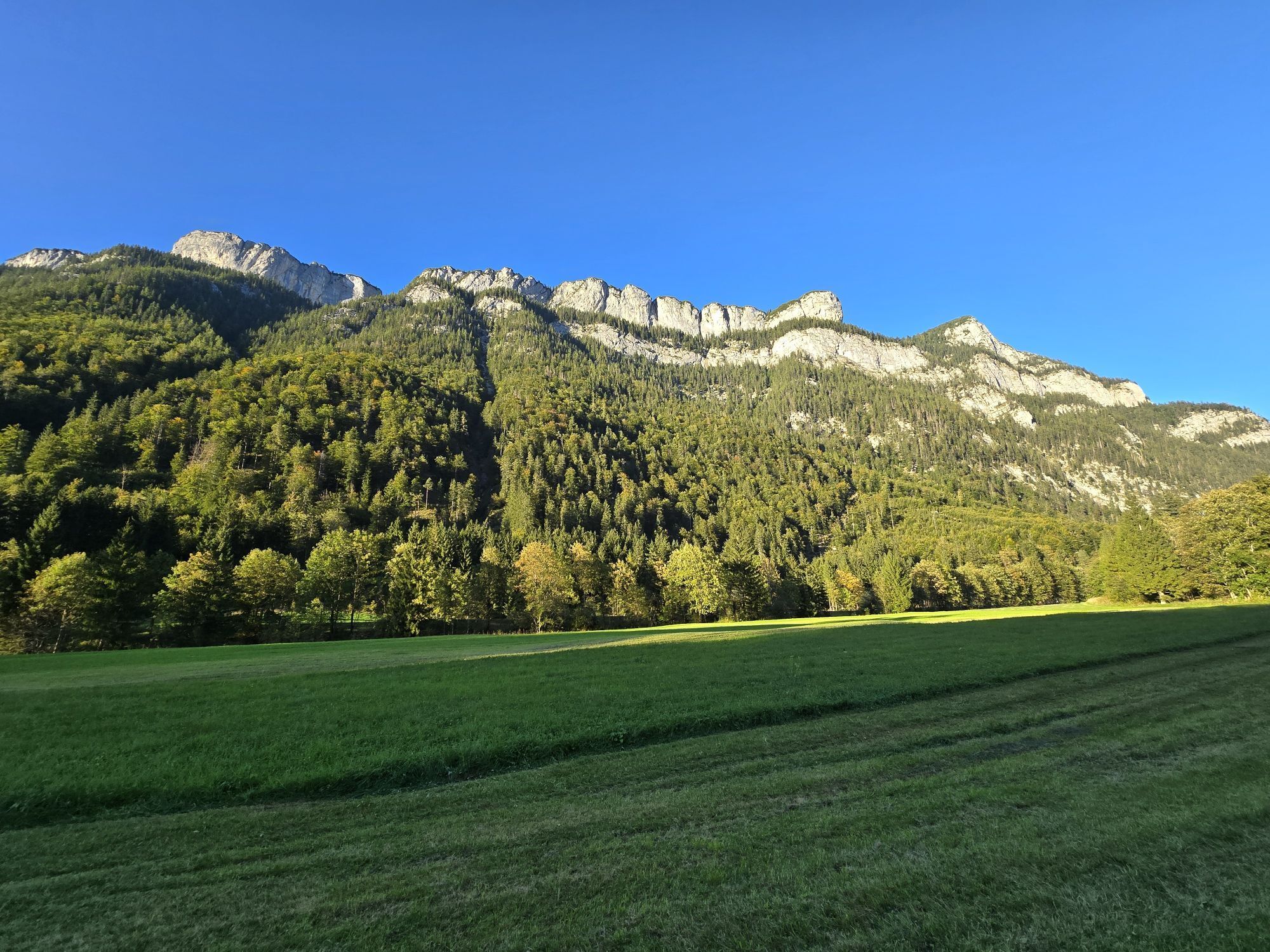
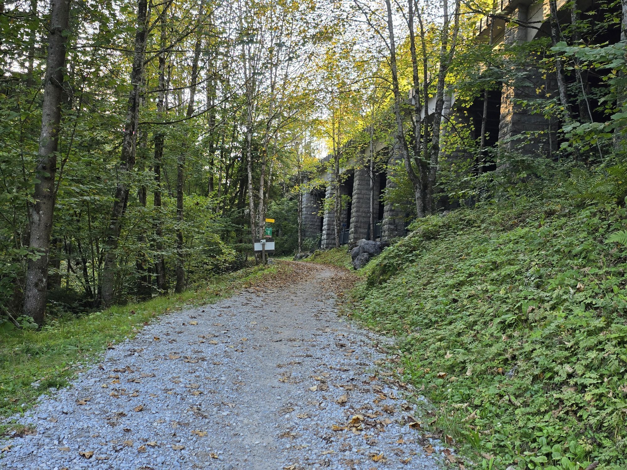
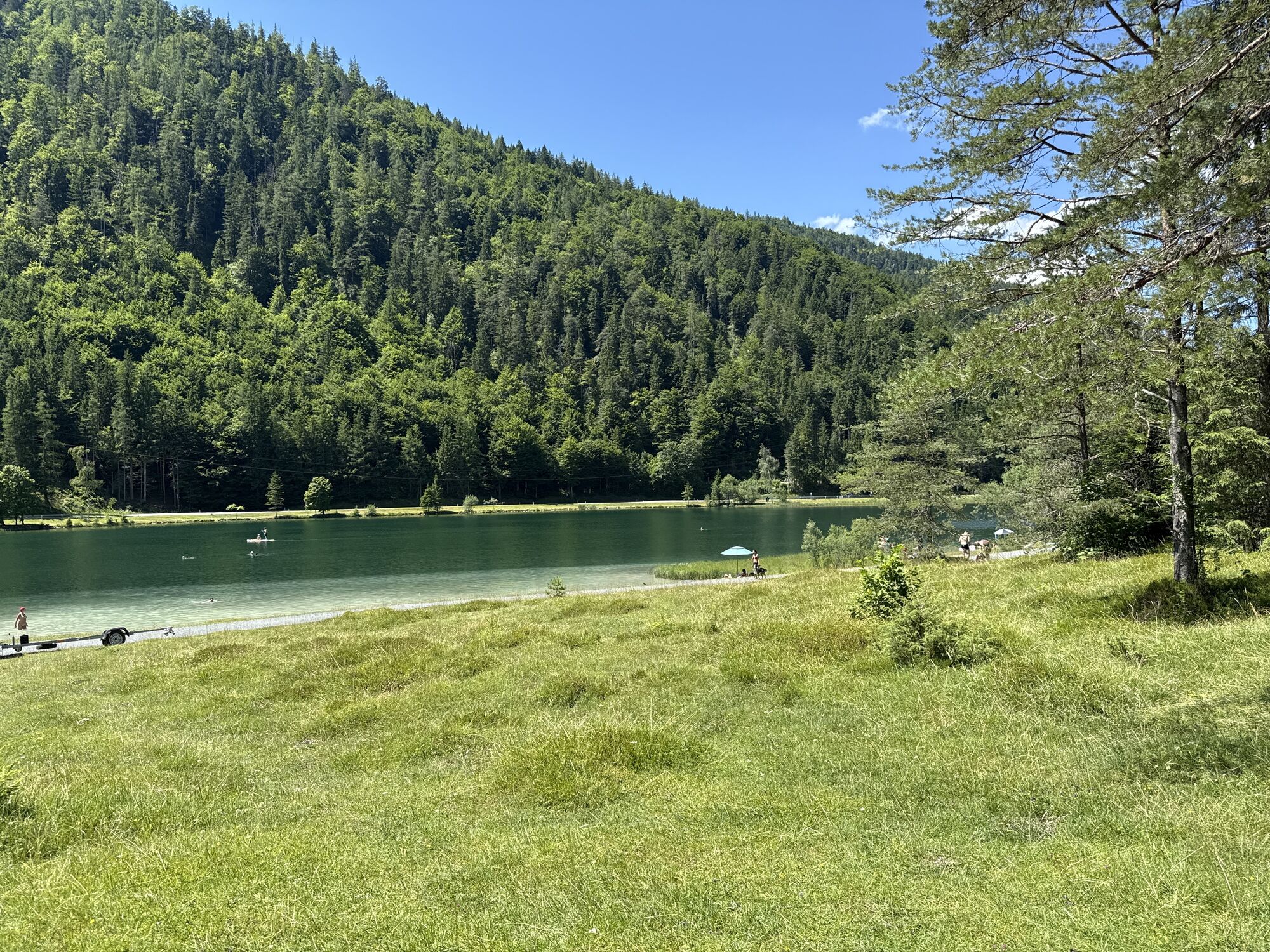

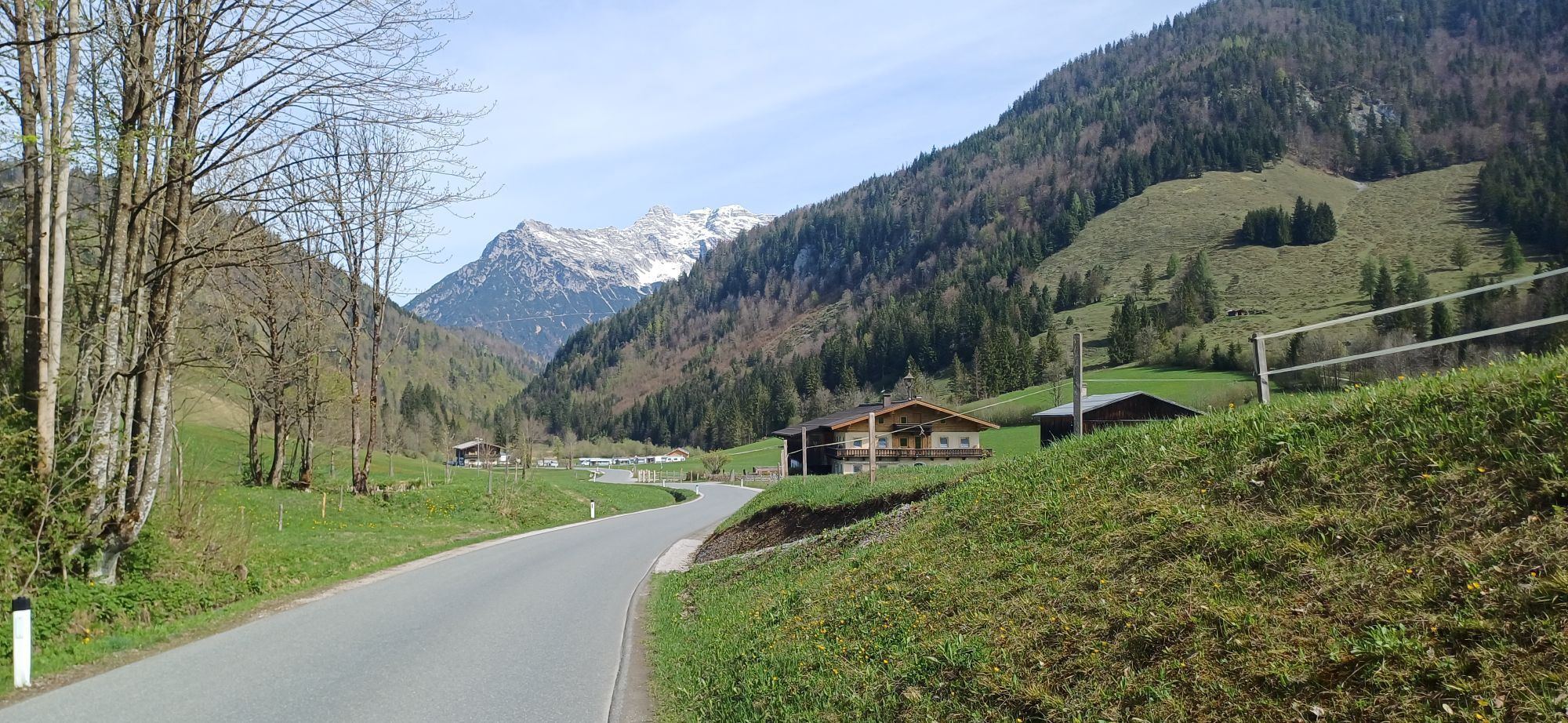
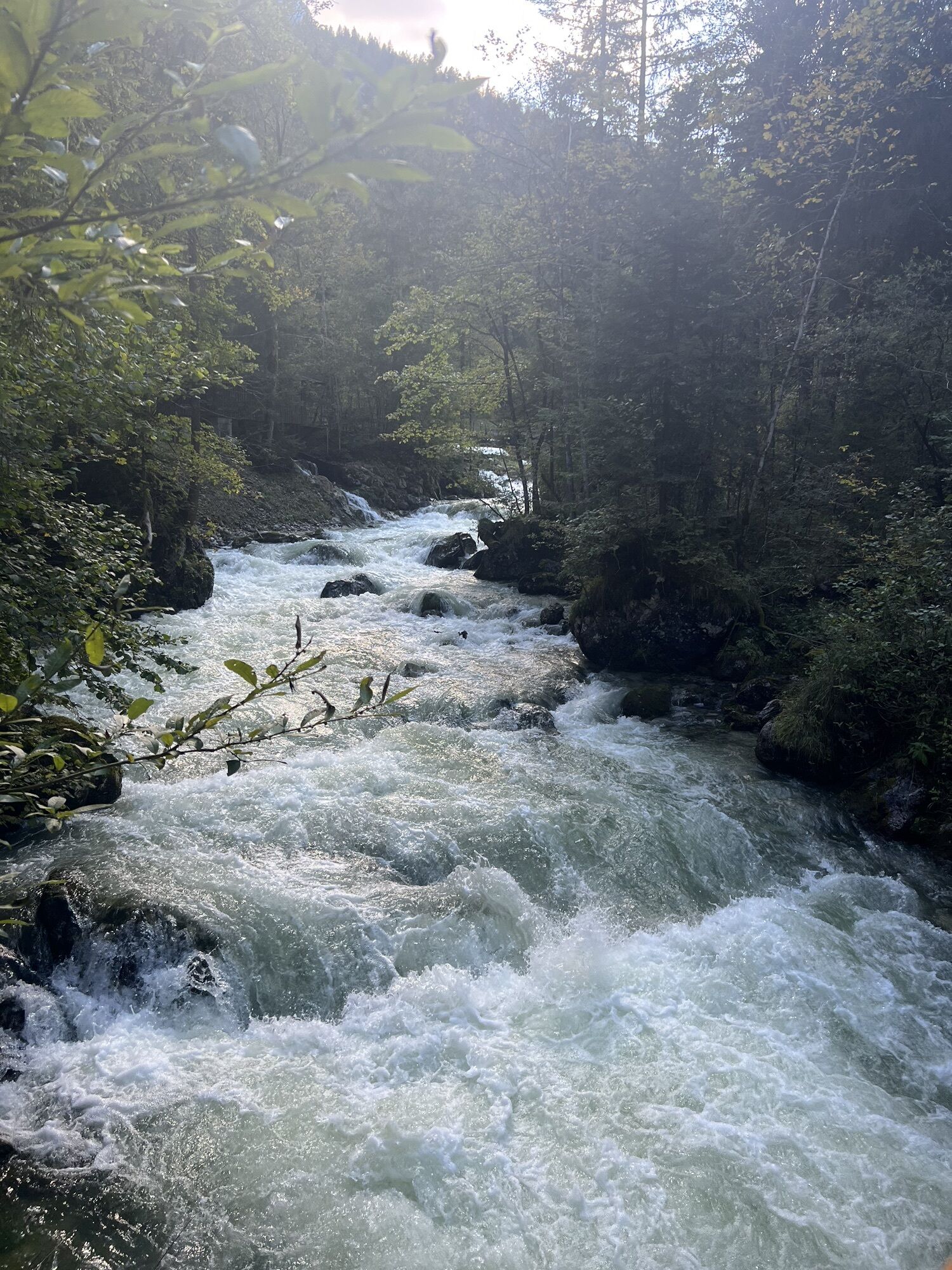
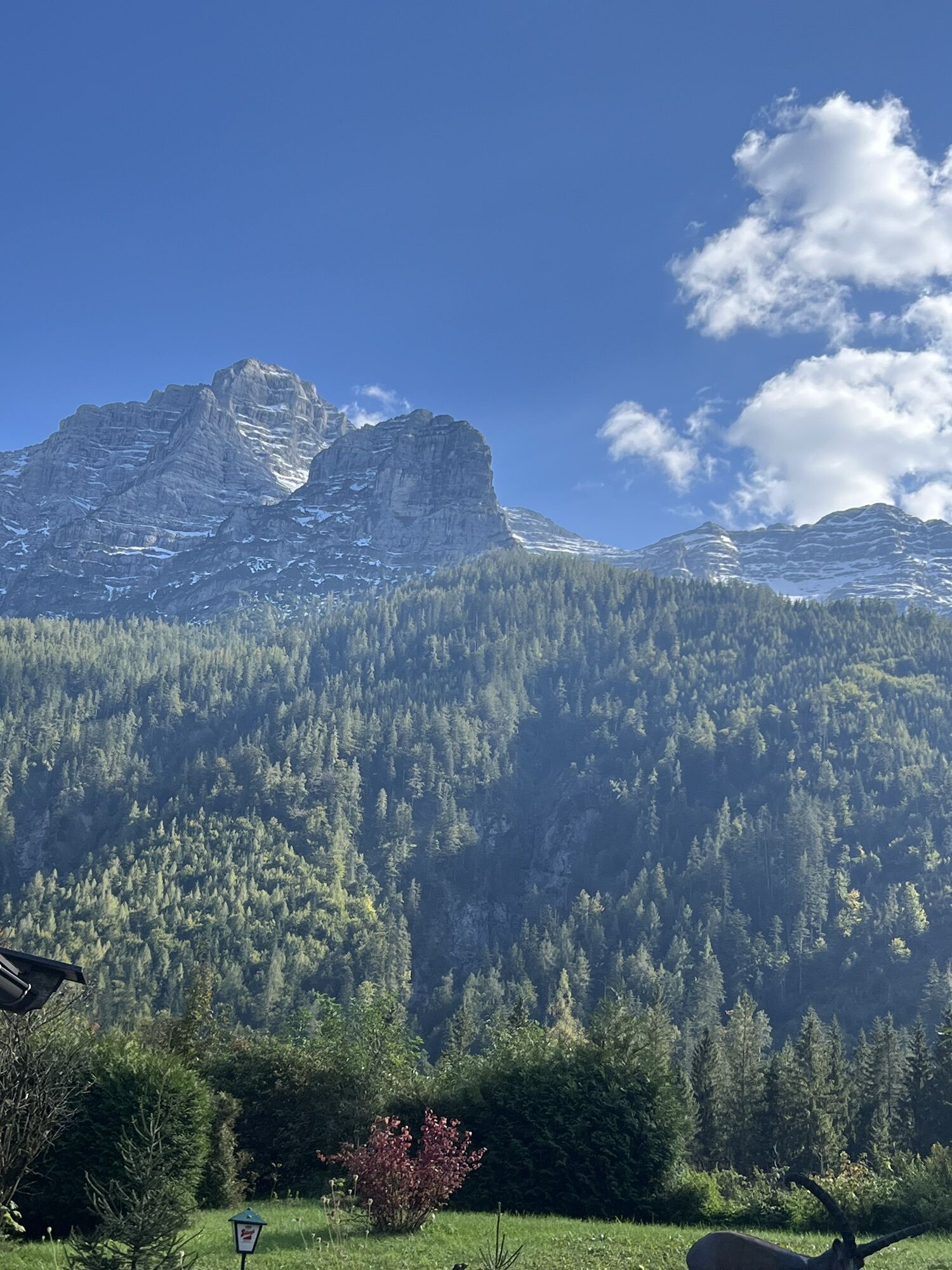
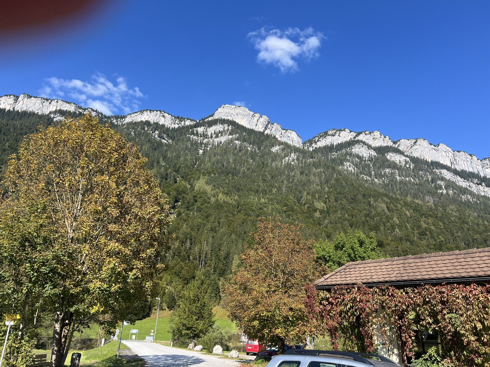

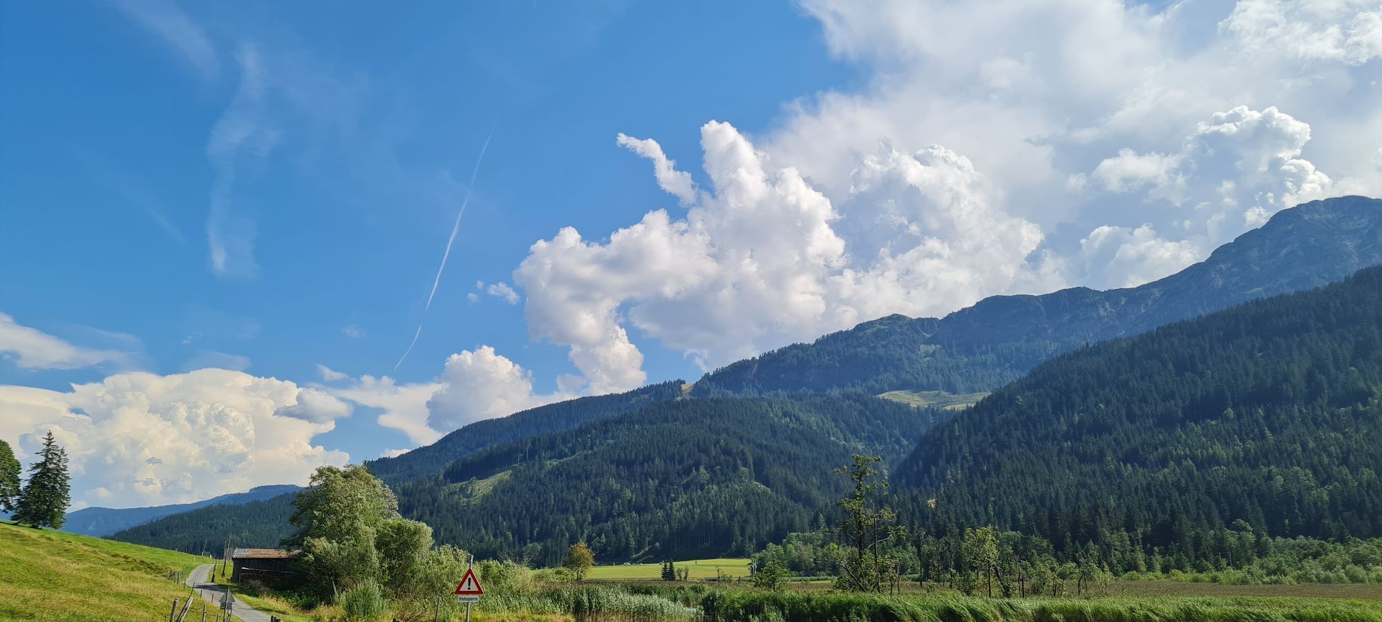
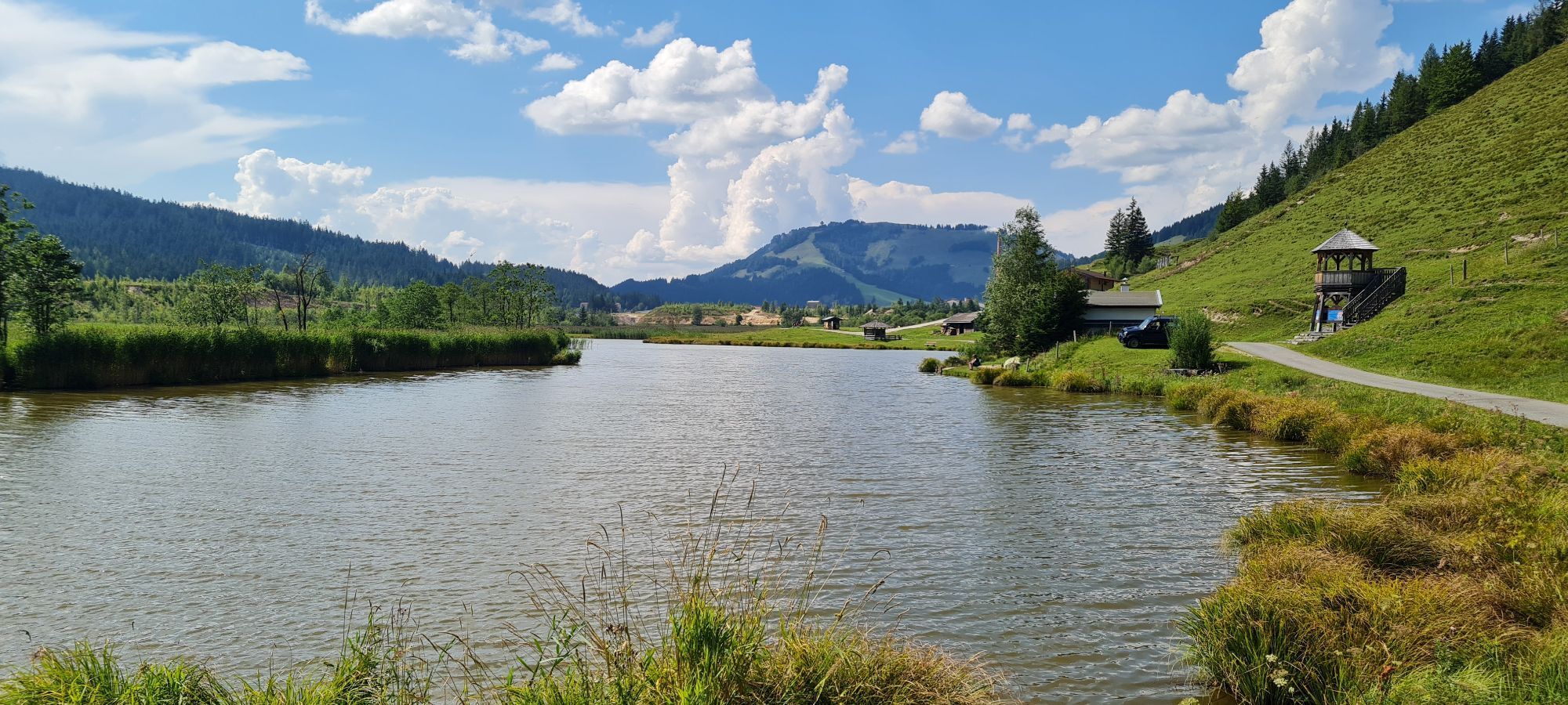
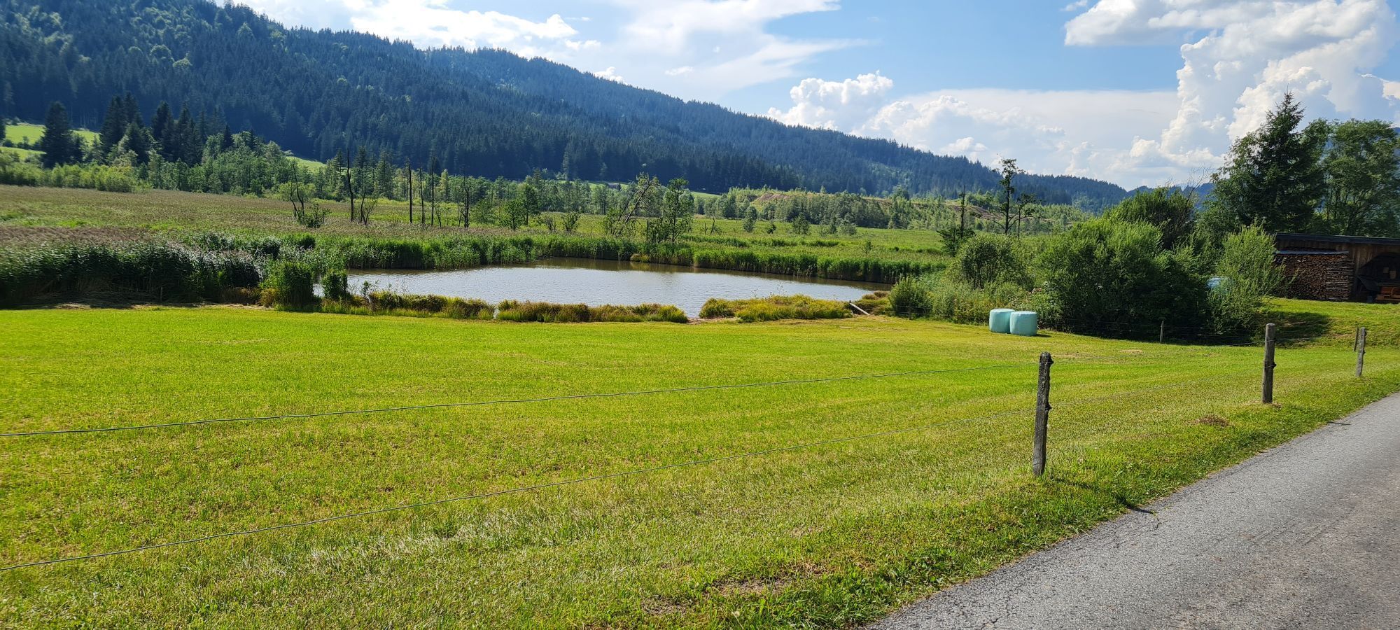
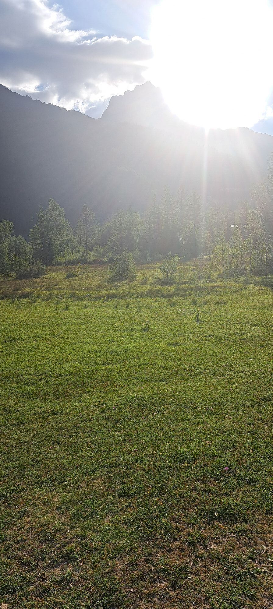
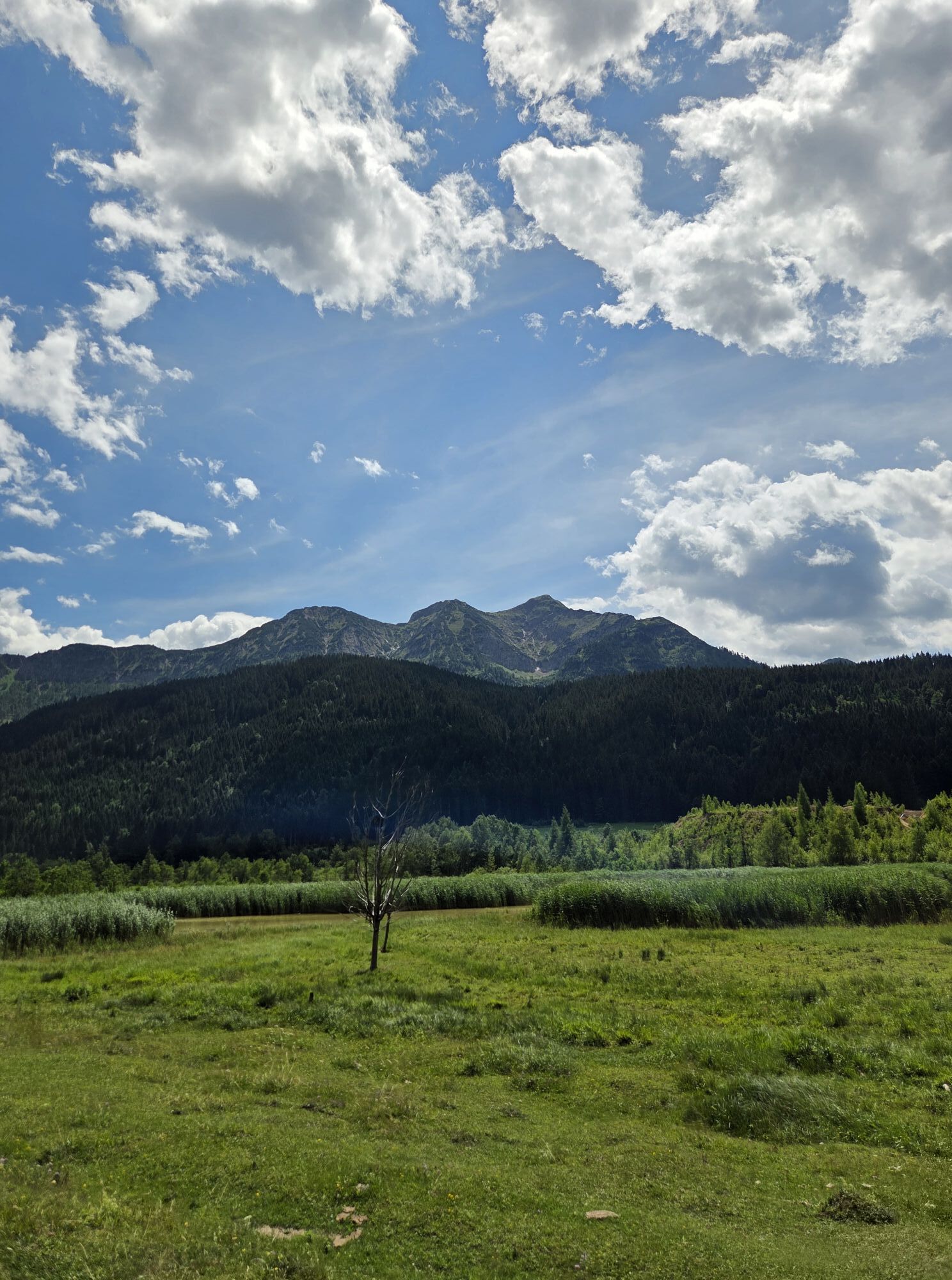
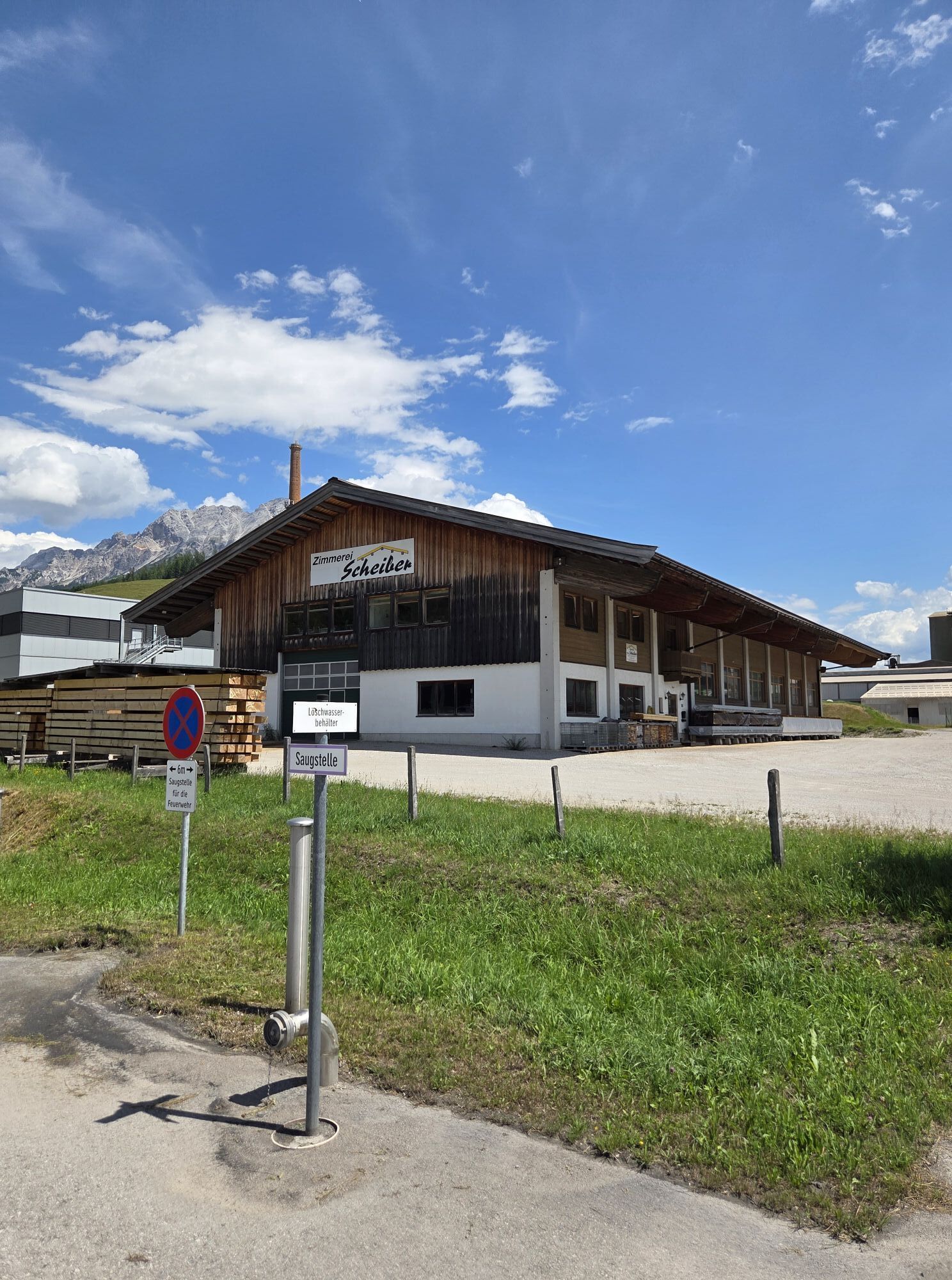
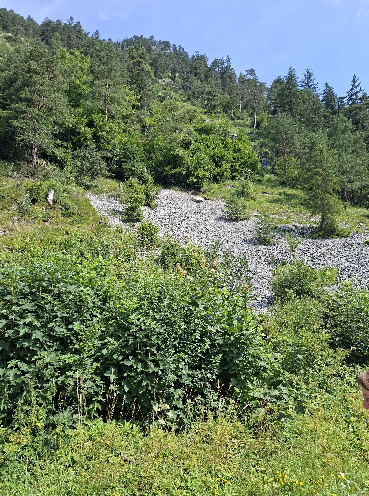
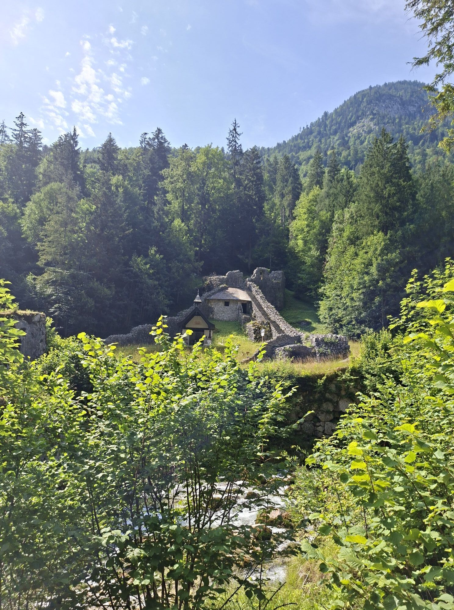
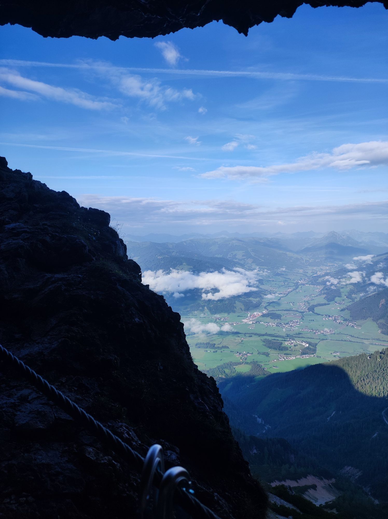
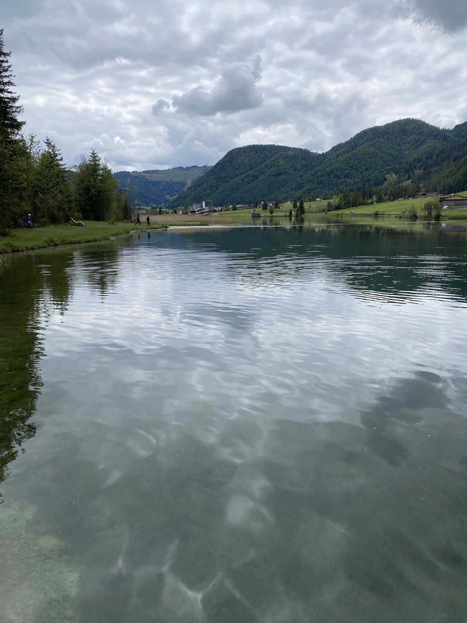
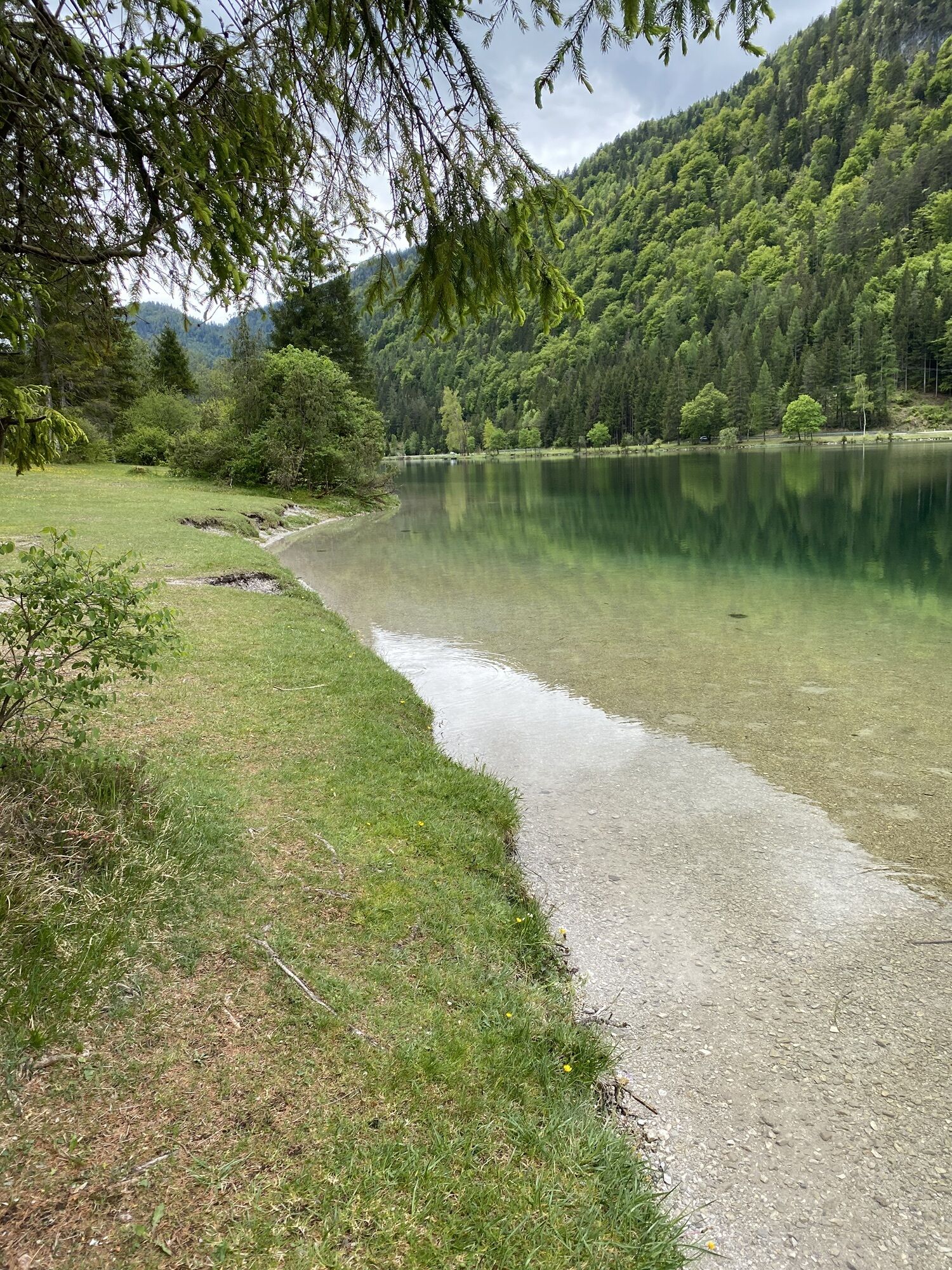
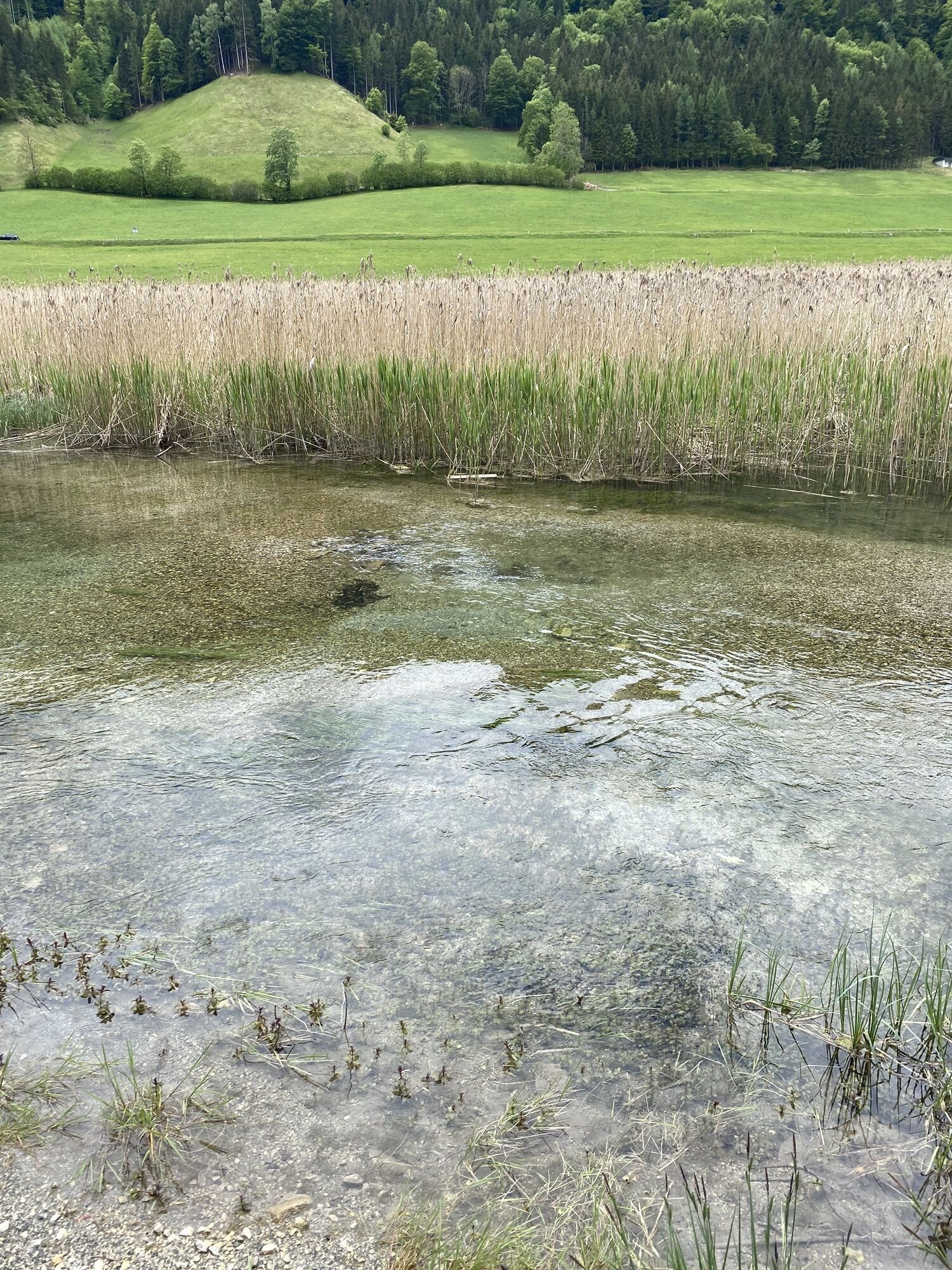
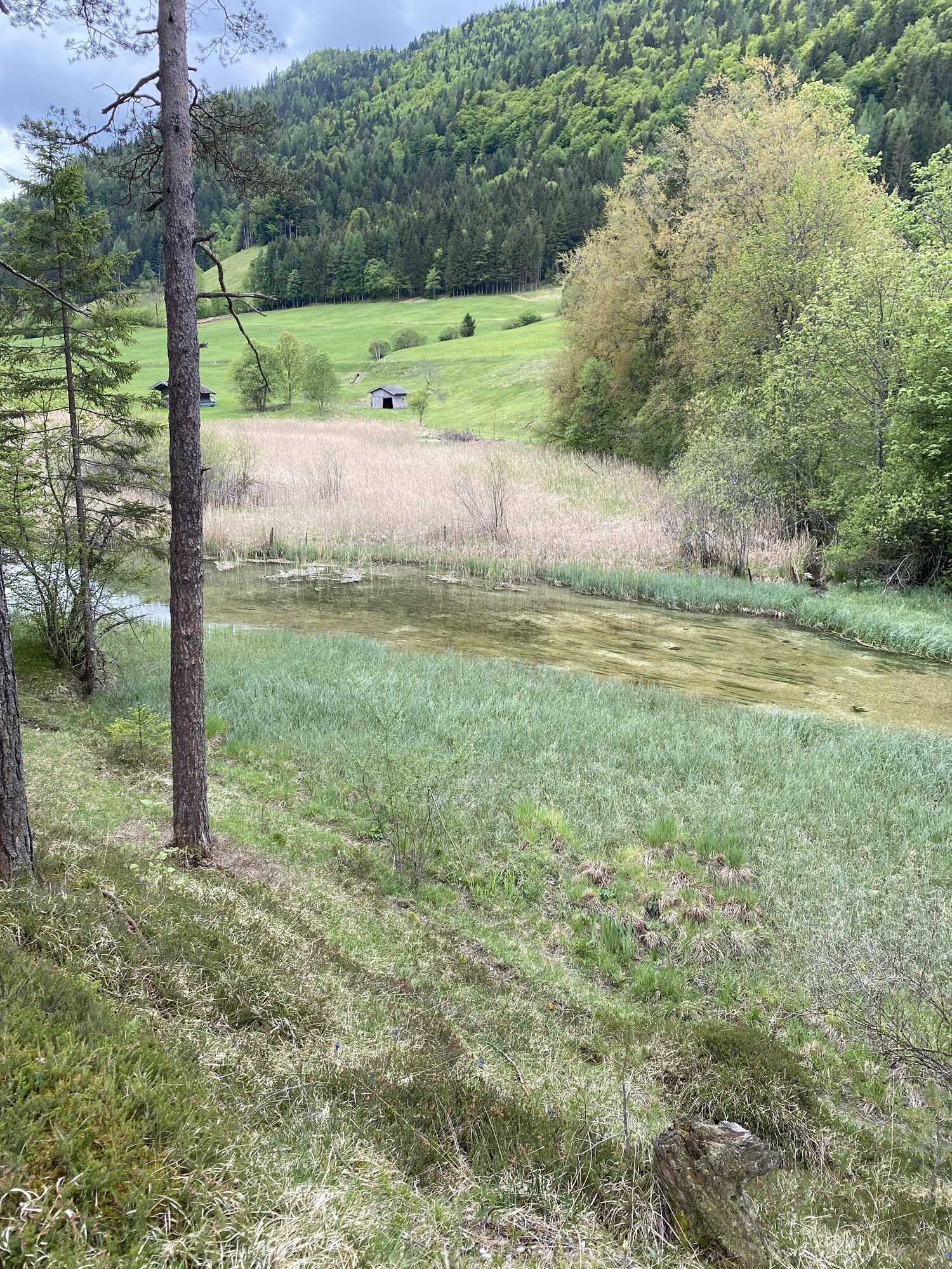
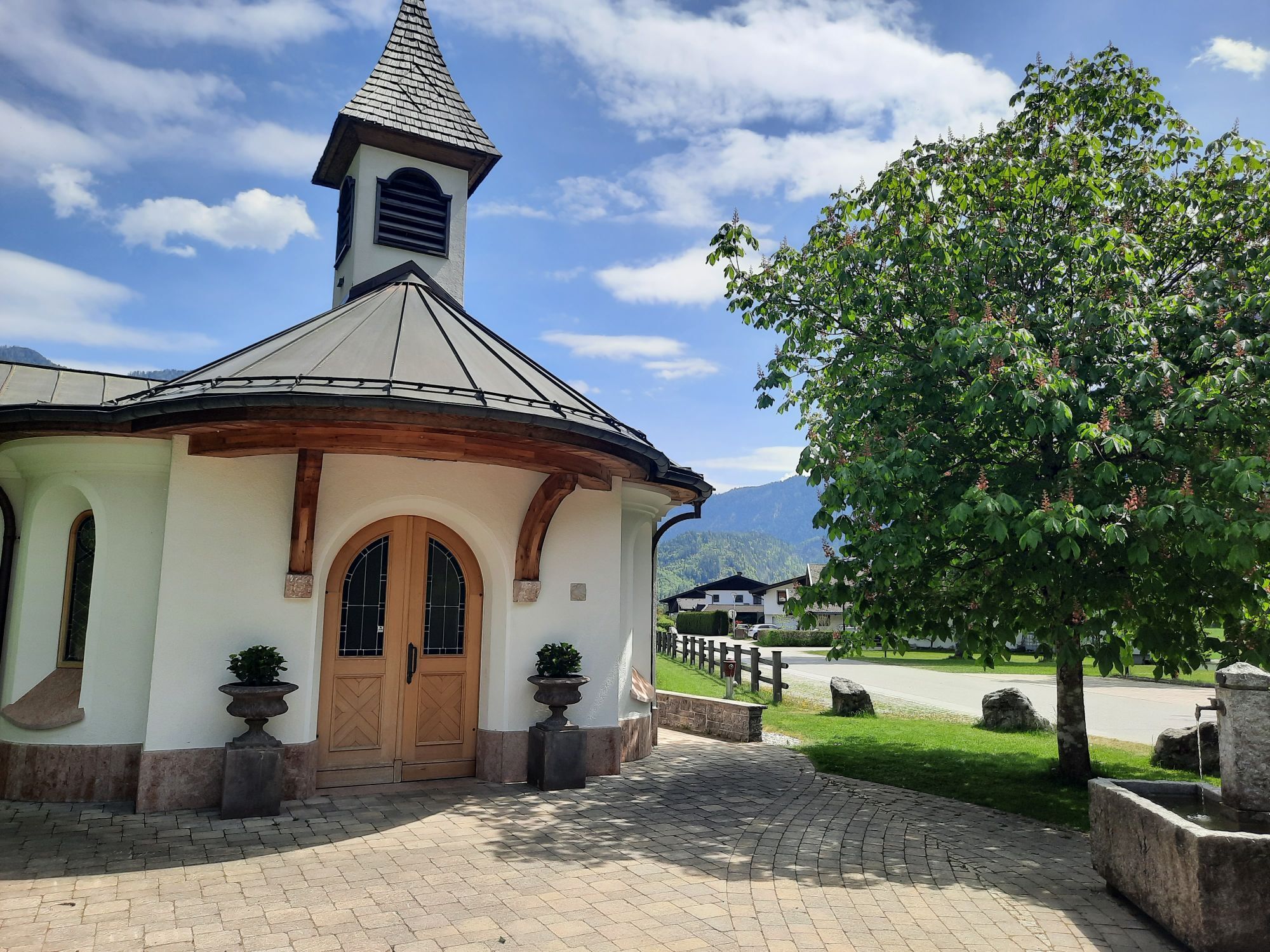
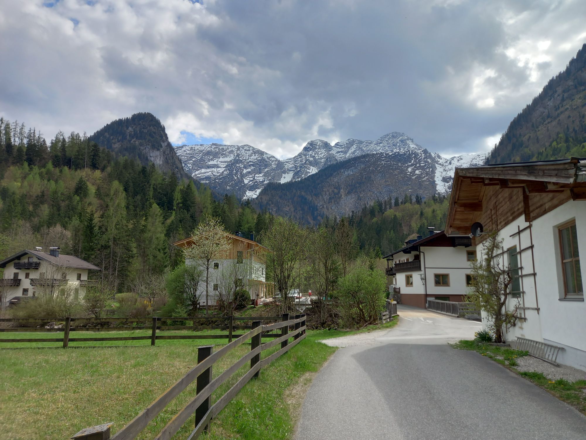
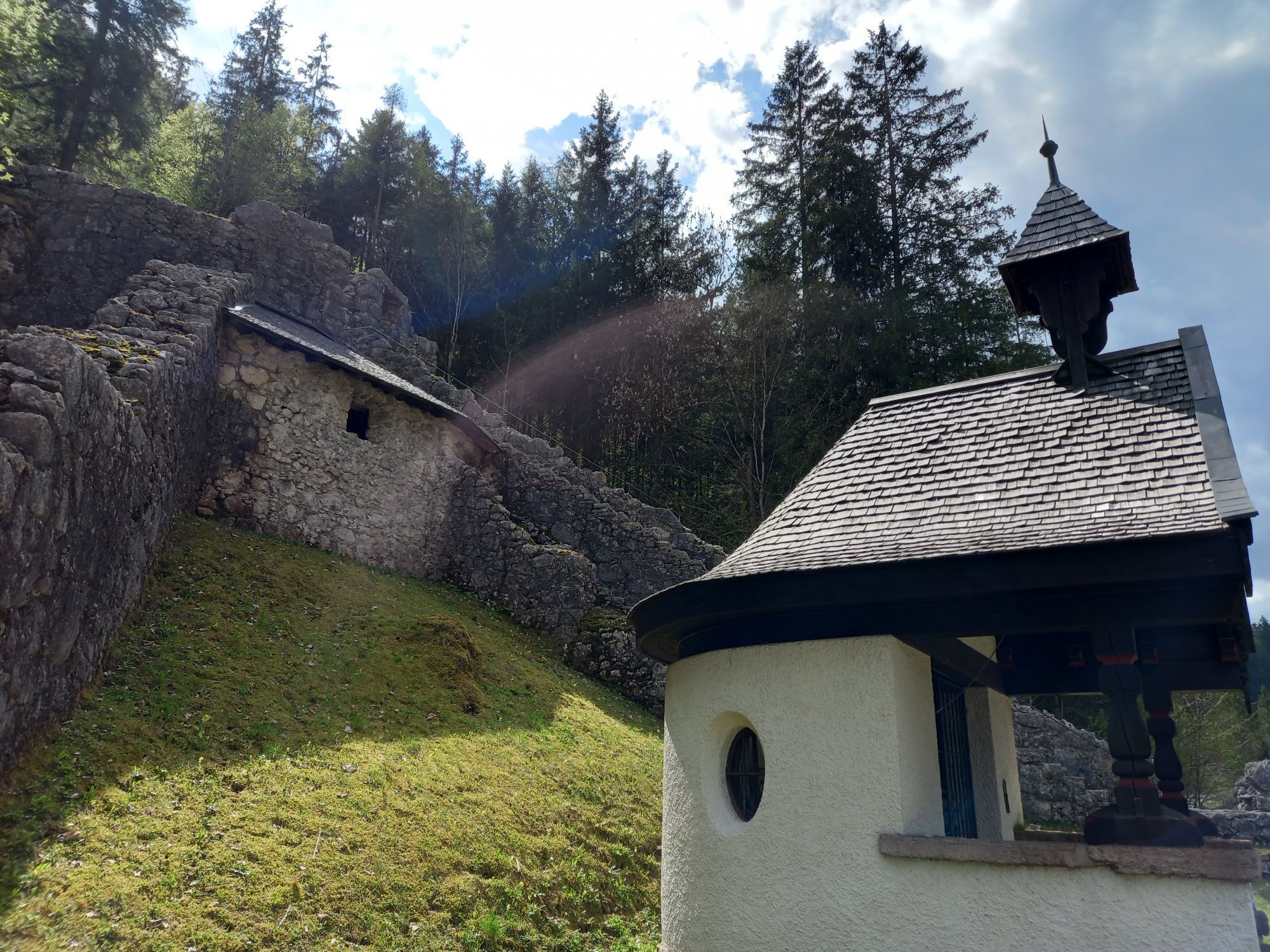
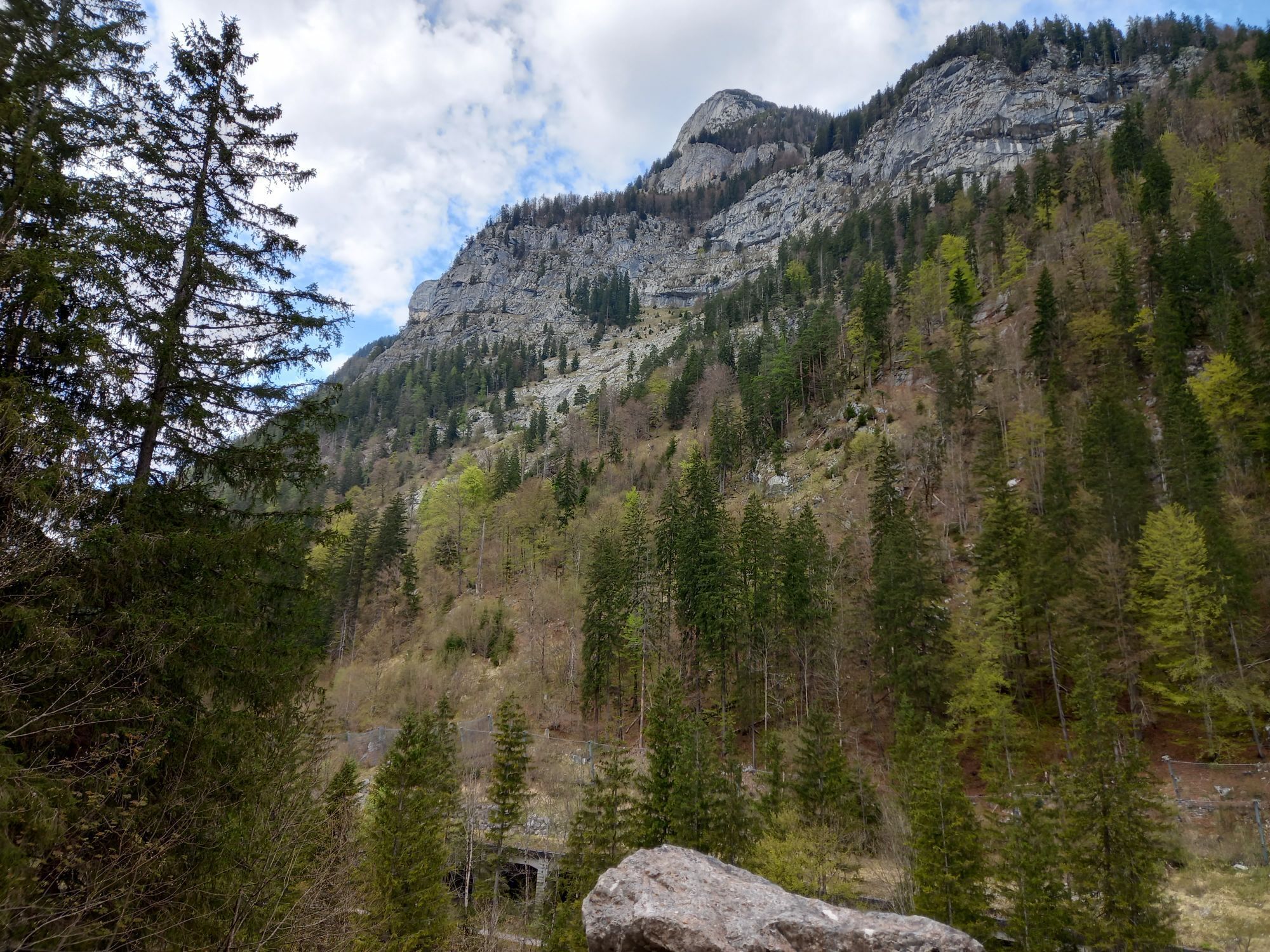
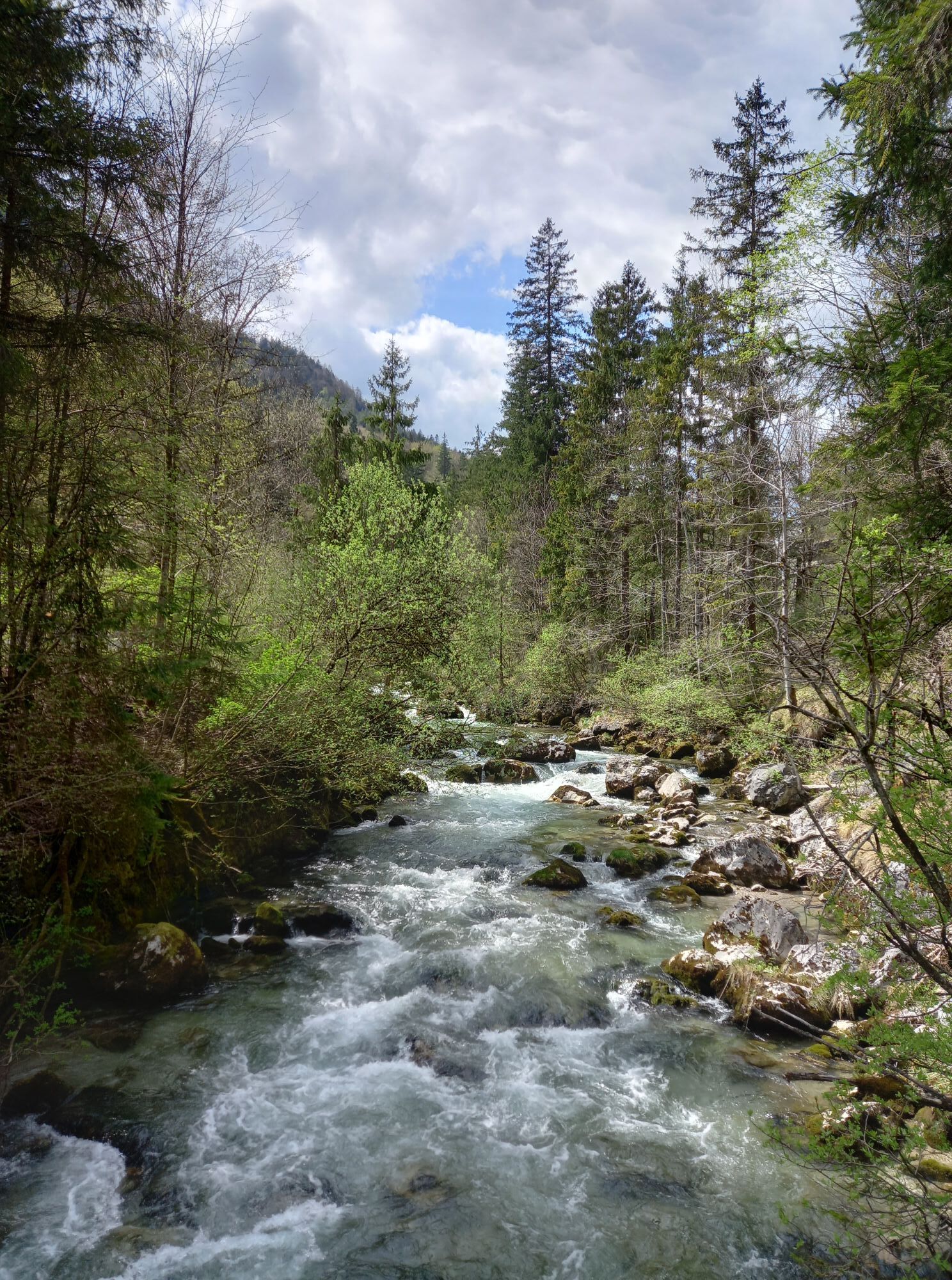
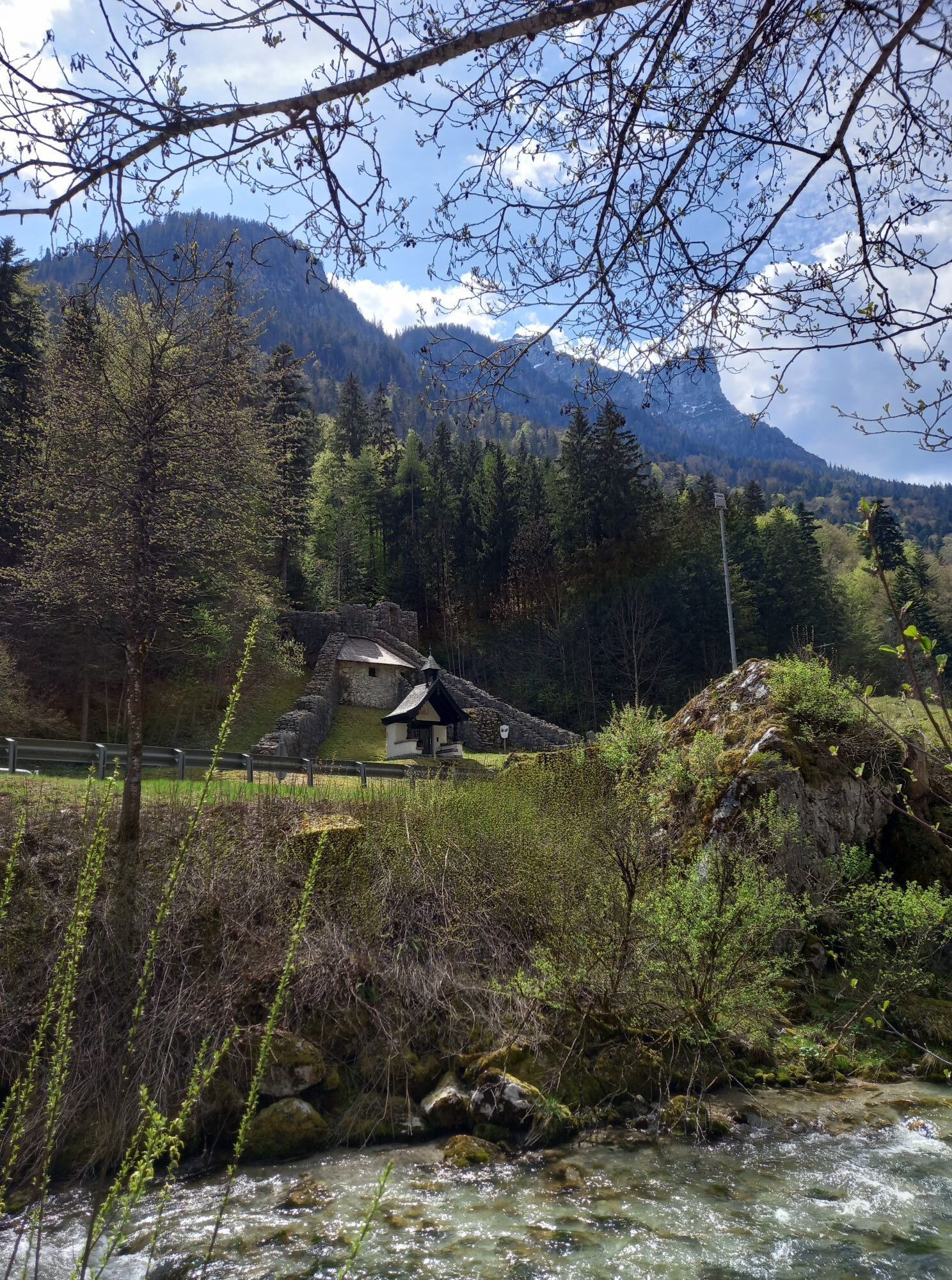
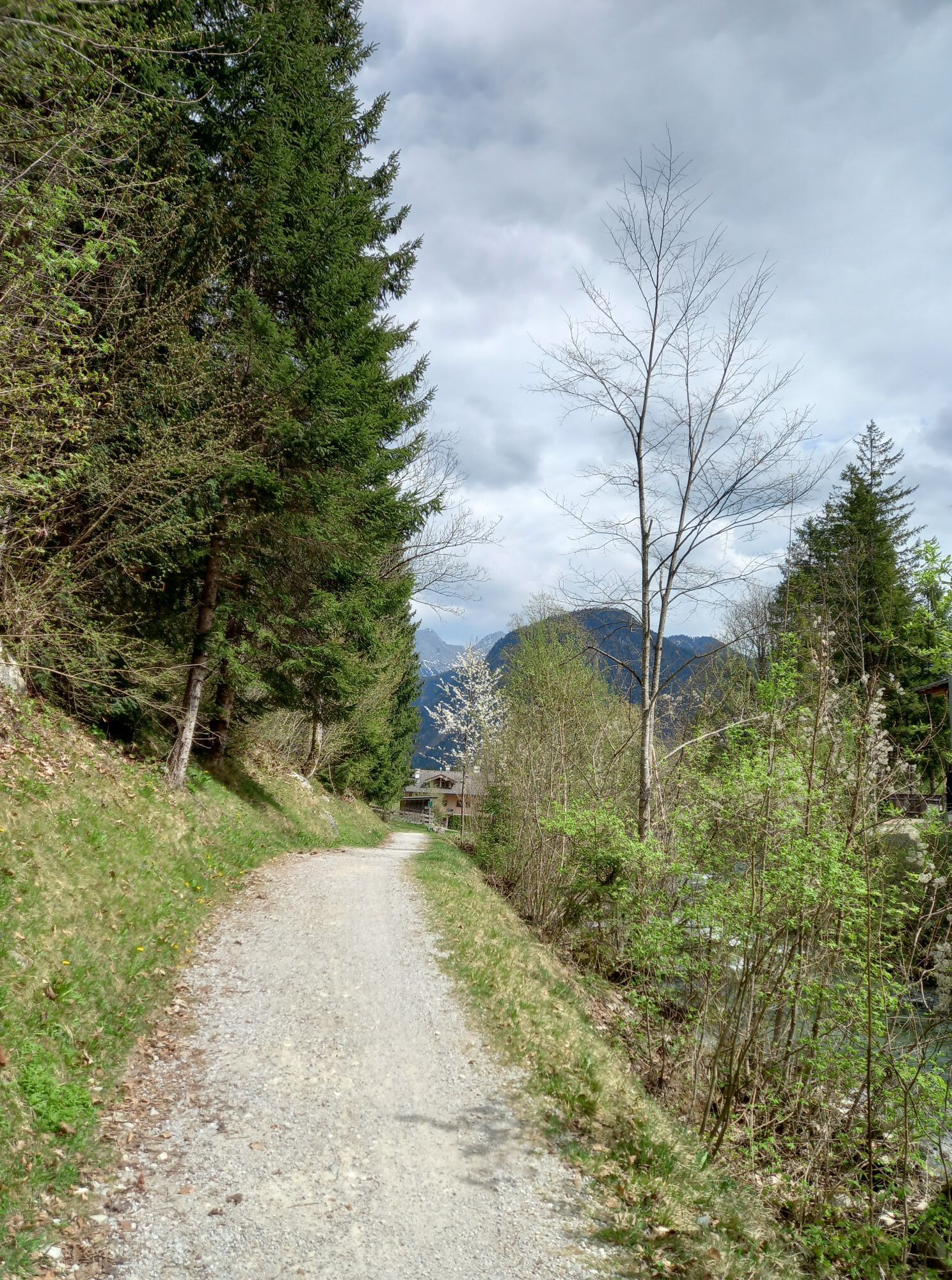
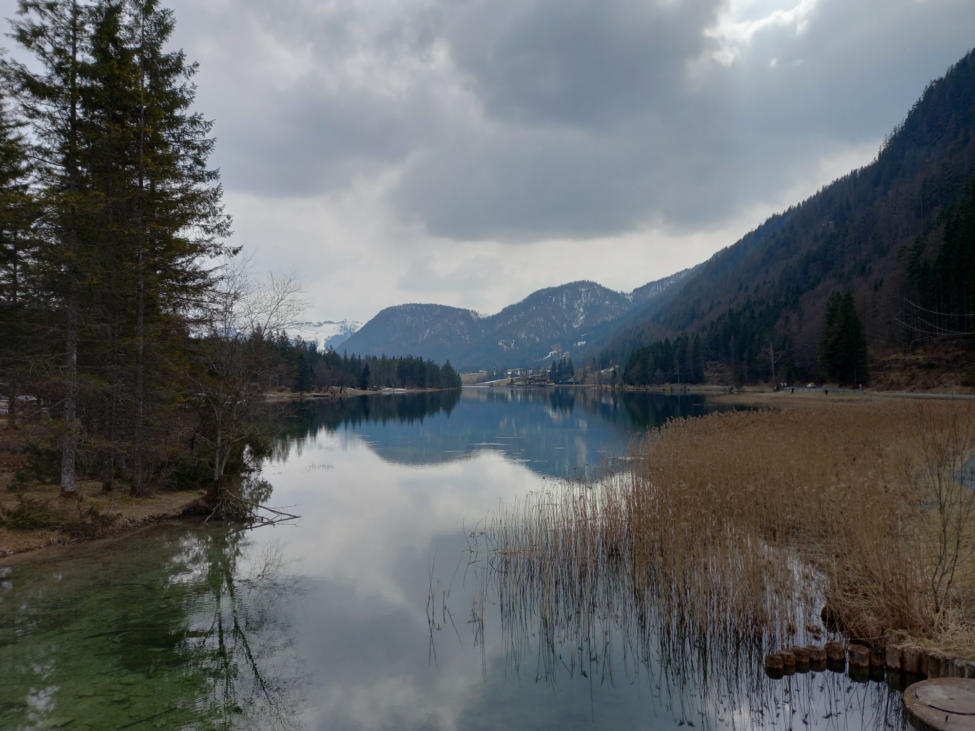
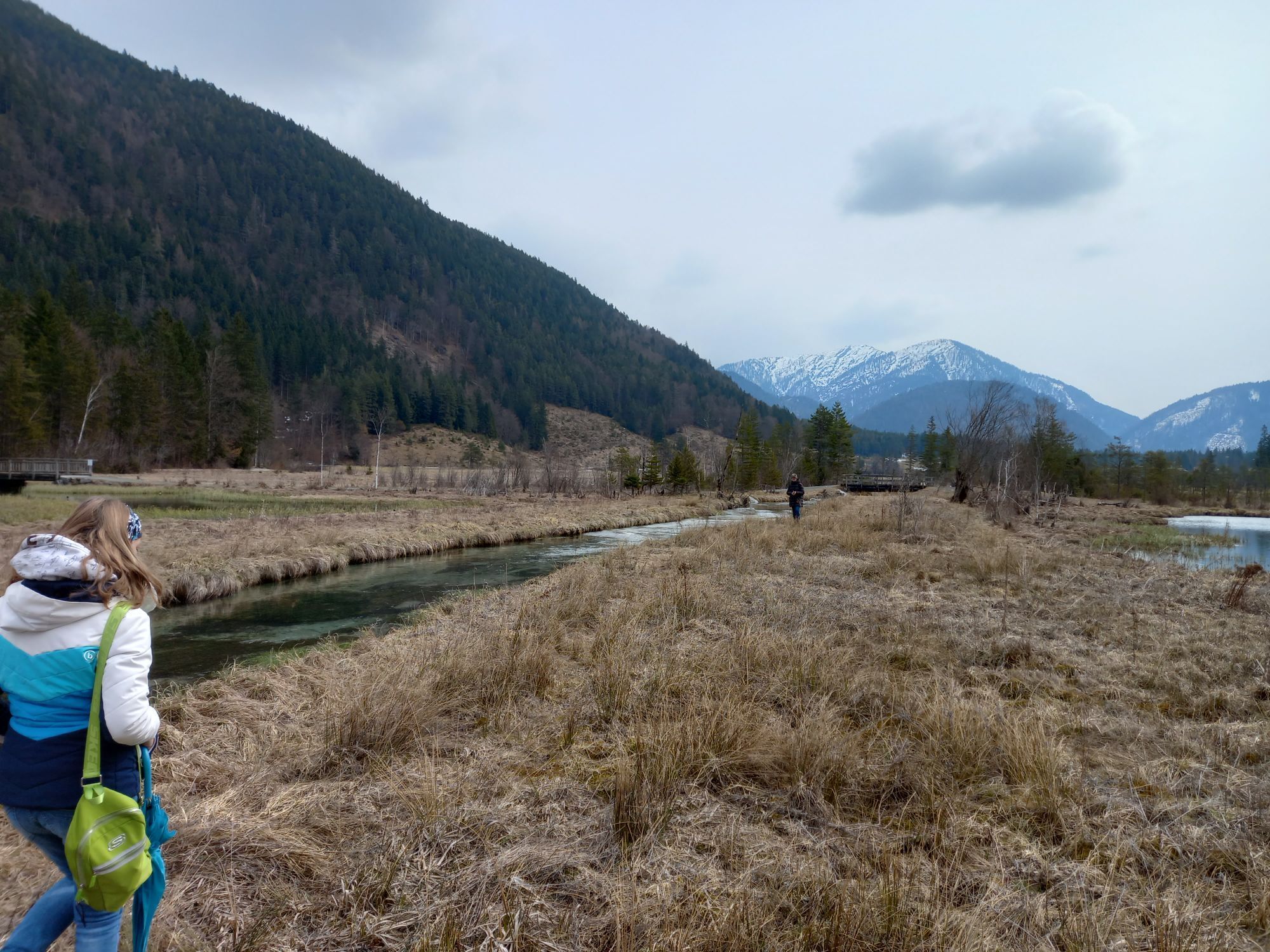
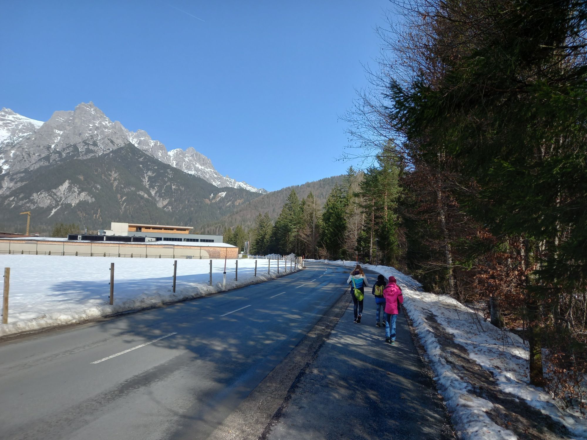
Relaxed e-bike route in the valley along the Steinberge and past small lakes where you can refresh yourself. Numerous e-bike charging stations are located along the way.

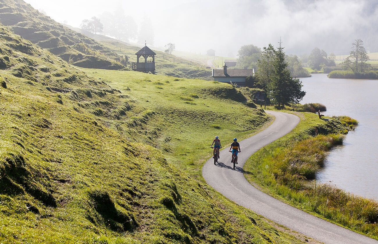
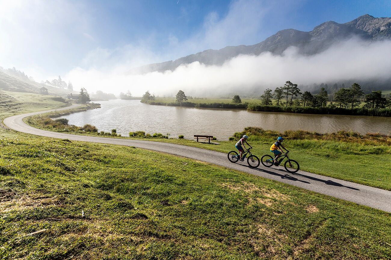

On the paved cycle path, it first goes slightly downhill to Lenzing. From there, continue towards Weißbach and Lofer. From here, you cycle slightly uphill towards Waidring and further to St. Ulrich am Pillersee, where you should definitely take a short moment to enjoy the magnificent landscape. Then continue through the Wiesensee valley back to Hochfilzen. After arriving again in Hochfilzen, the return route to Leogang begins. From there, it is almost all downhill, allowing the round to end relaxed. The Steinberg round can be ridden in both directions.
Due to acute danger of falling rocks, the cycle path between Weißbach-Frohnwies and the Diesbach power plant is closed. Use of the former route is strictly prohibited – there is a life-threatening danger!
A free shuttle bus runs every half hour between the Weißbach town hall and the Weißbach Diesbach stop, where bicycles can be taken along. The first departure is at 8:30 am from the Weißbach town hall, the last trip starts there at 6 pm. In the opposite direction, the first shuttle bus starts at 8:45 am at the Weißbach Diesbach stop, the last at 6:15 pm.
https://salzburg-verkehr.at/downloads/radshuttle-b311-weissbach-gemeindeamt-diesbach/
BY TRAIN
You can enjoy your holiday from the very start by train. No traffic jam will stop you from coming to Saalfelden Leogang! Furthermore, the ÖBB timetable helps you quickly and easily find the ideal train connection to Leogang station: www.oebb.at (travel time to the starting point approx. 10 minutes)
A break at the Seealm offers the perfect conclusion to this route to reward yourself with regional delicacies and a refreshing drink!

Webové kamery z prehliadky
-
Asitz Gipfel
-
Berghotel Seidl-Alm
-
Schwarzlofer
-
Waidring - Kammerkör
-
Asitz Mittelstation
-
Bergstation Almbahn II
-
Sommerrodelbahn
-
Hochfilzen - Ferienwohnungen Schreder
-
Almenwelt Lofer
-
Almenwelt Lofer
-
Almenwelt Lofer
-
Almenwelt Lofer
-
Almenwelt Lofer
-
Almenwelt Lofer
-
Almenwelt Lofer
-
Almenwelt Lofer
-
Almenwelt Lofer
-
Loderbichl - Talblick von Mittelstation, 1000 m
-
Waidring
-
Asitz Talstation
-
St. Jakob im Pillerseetal
-
St.Ulrich im Pillerseetal
-
Fieberbrunn - Buchensteinwand in Tirol
-
Leogang
-
Saalfelden
-
Großer Asitz / Gipfelkreuz
-
Leogang Schanteilift
-
Almenwelt Lofer - Talstation
-
Saalbach-Hinterglemm - Wildenkarkogel
-
Wildenkarkogel
-
Sommerrodelbahn
-
Sommerrodelbahn
-
Sommerrodelbahn
-
Sommerrodelbahn
-
Talstation Asitzbahn
-
Peter Wiechenthaler Hütte
-
Lofer
-
Saalbach-Hinterglemm - Kohlmais
-
Waidring Schweizerhof
-
Leogang - Grosser Asitz
Získajte prehľad
Vždy naživo na mieste s viac ako 9 500 webovými kamerami. bergfex Ako používateľ Pro si teraz môžete pozrieť príslušné webové kamery pre mnohé zájazdy v aplikácii zájazdy z. Môžete si tak priamo prezerať aktuálne podmienky.
Obľúbené výlety v okolí
-
4,6
Steinalm
svetloTuristika 2,71 km -
4,5
Peter-Wiechenthaler Hut
strednáTuristika 4,32 km -
4,5
Seisenberg Gorge
svetloTuristika 2,41 km -
4,8
Over the waterfall trail into the Almenwelt Lofer
strednáTuristika 3,29 km -
4,8
Loferer Steinberge, zum Hinterhorn über die Schmid-Zabierow Hütte, 19.06.22
ťažkéTuristika 14,0 km -
4,2
Persailhorn South via ferrata
strednáVia ferrata 6,83 km -
4,2
Passauer Hütte
ťažkéTuristika 4,14 km -
4,6
Birnbachloch Leogang, Österreich
strednáTuristika 5,18 km -
4,0
Berg der Sinne
svetloTuristika 4,39 km -
4,6
Lettlkaser
strednáTuristika 4,40 km
Turistika a stopovanie


Nenechajte si ujsť ponuky a inšpiráciu na ďalšiu dovolenku
Vaša e-mailová adresa bol pridaný do poštového zoznamu.





