




e-Bike Tour - Mosott-Arthurhaus Round (Tour 3)

Úroveň náročnosti: 3
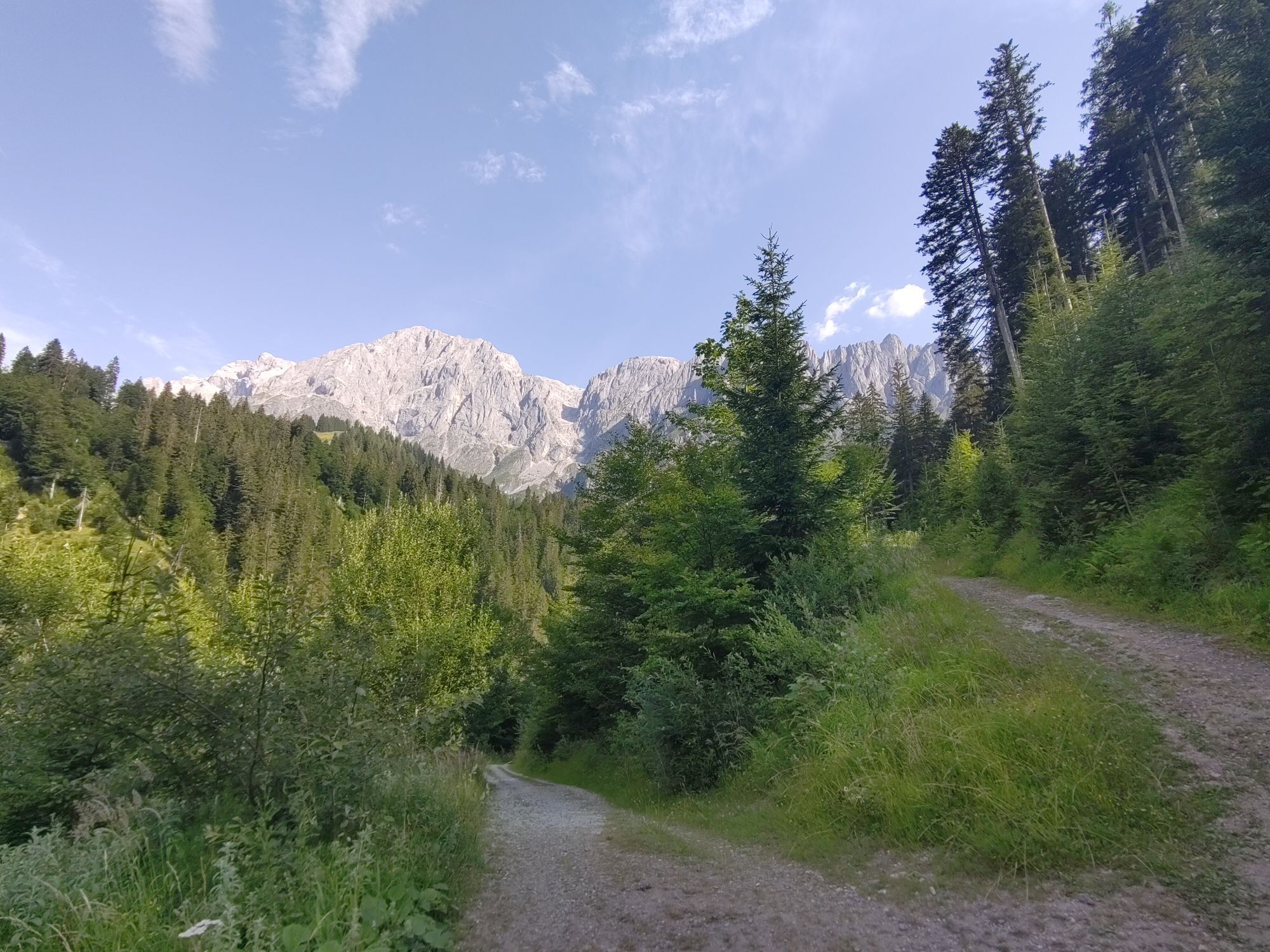
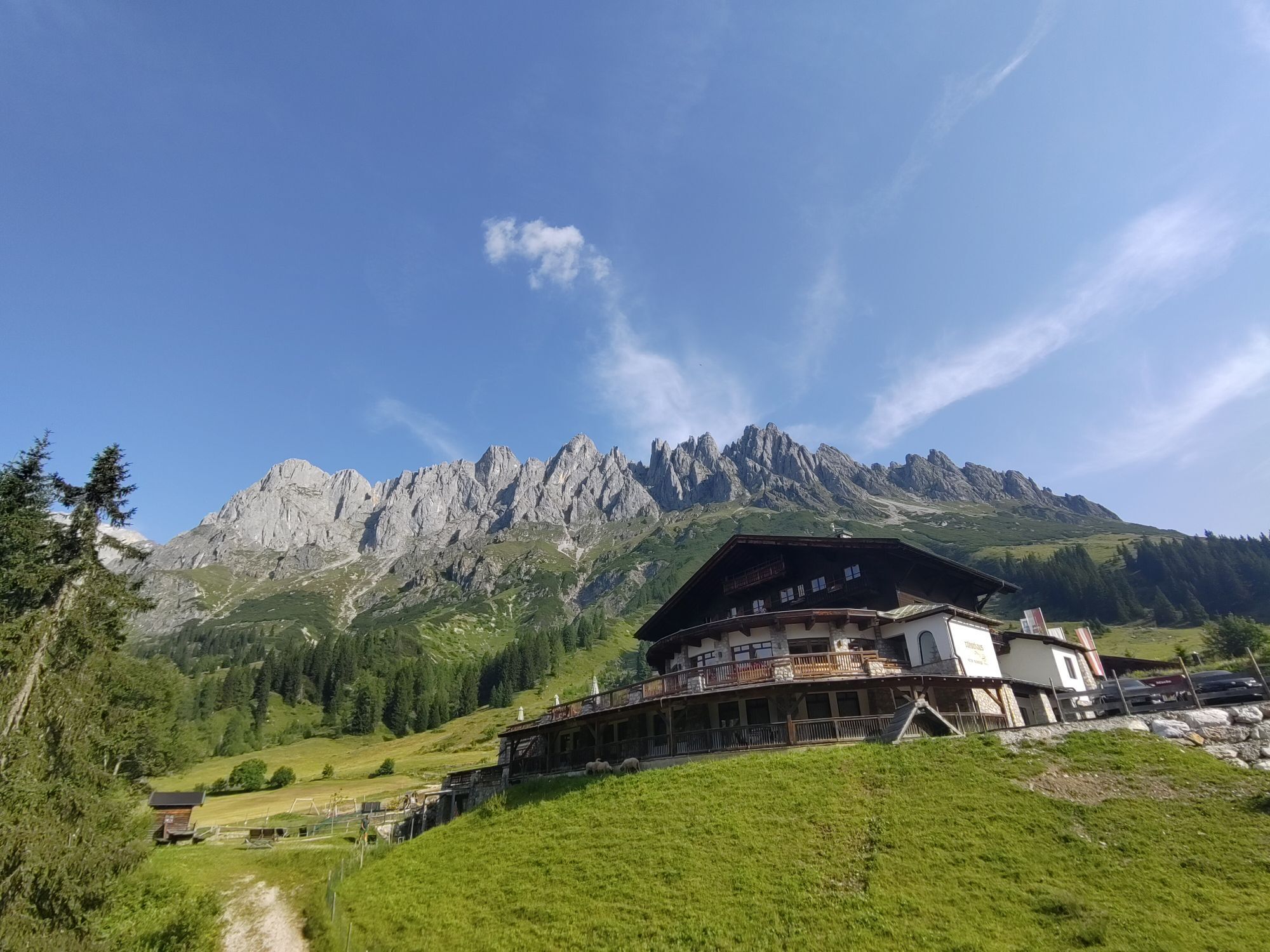

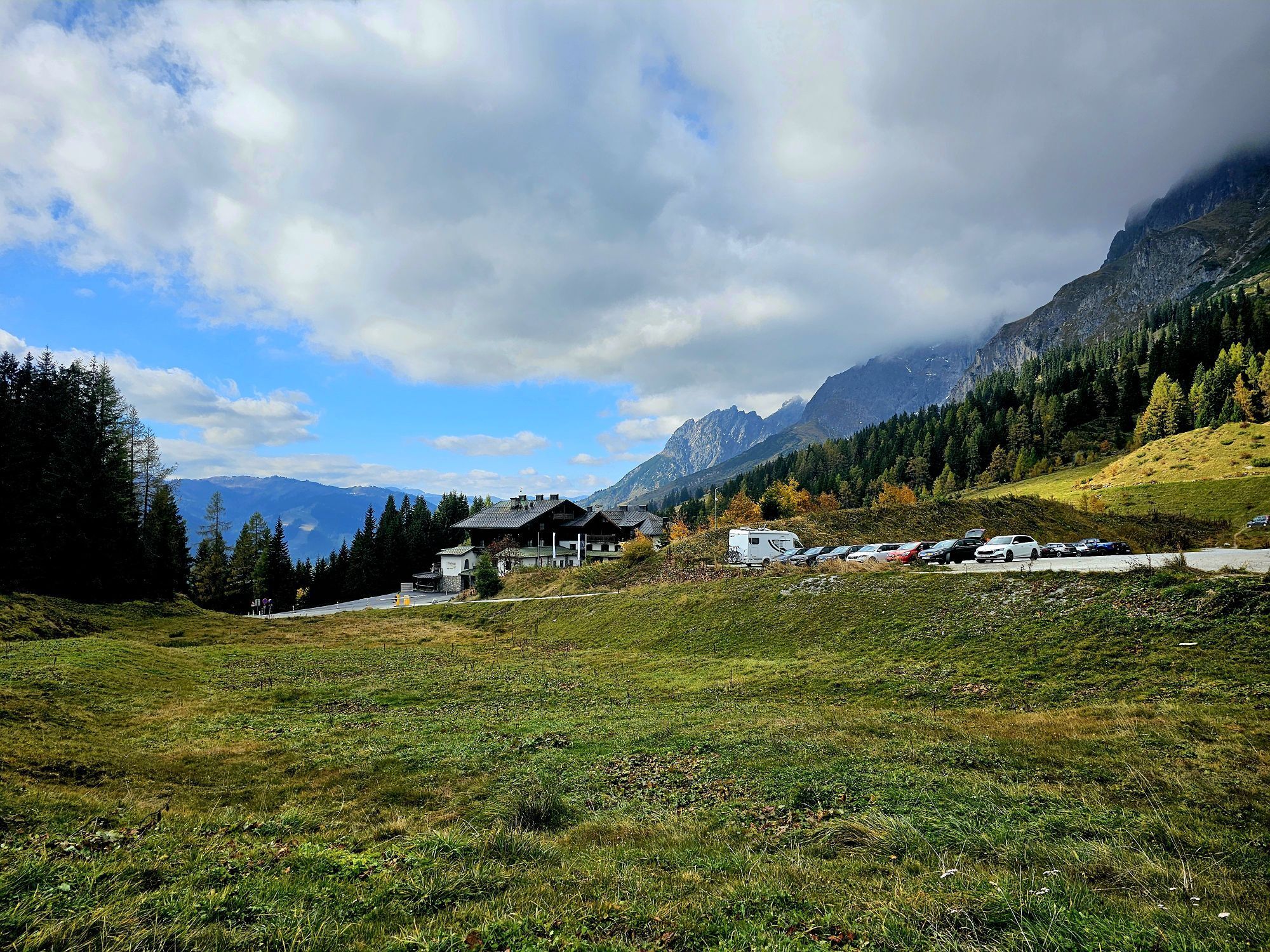
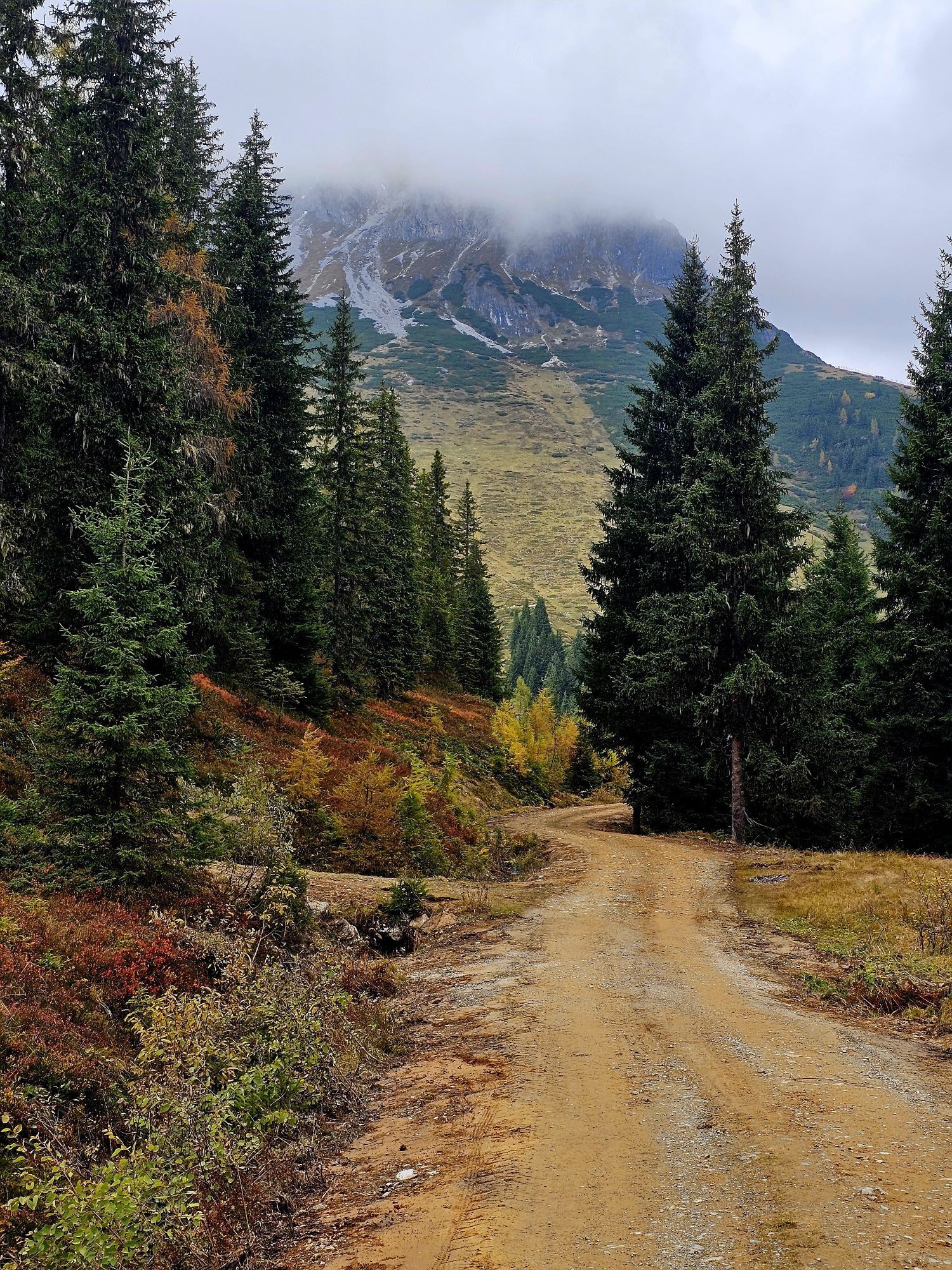
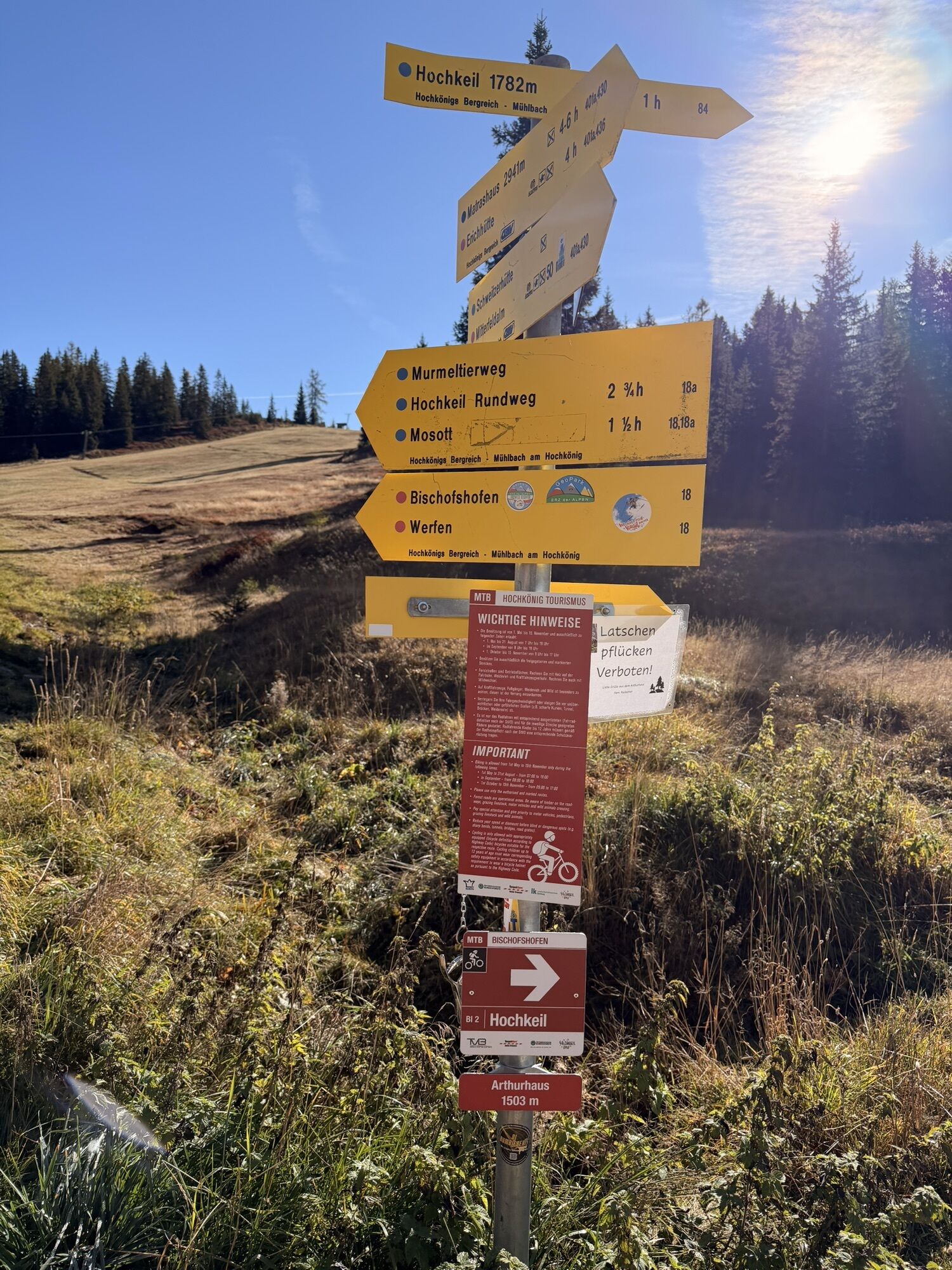
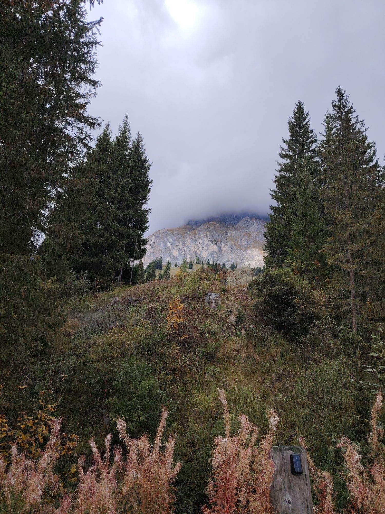
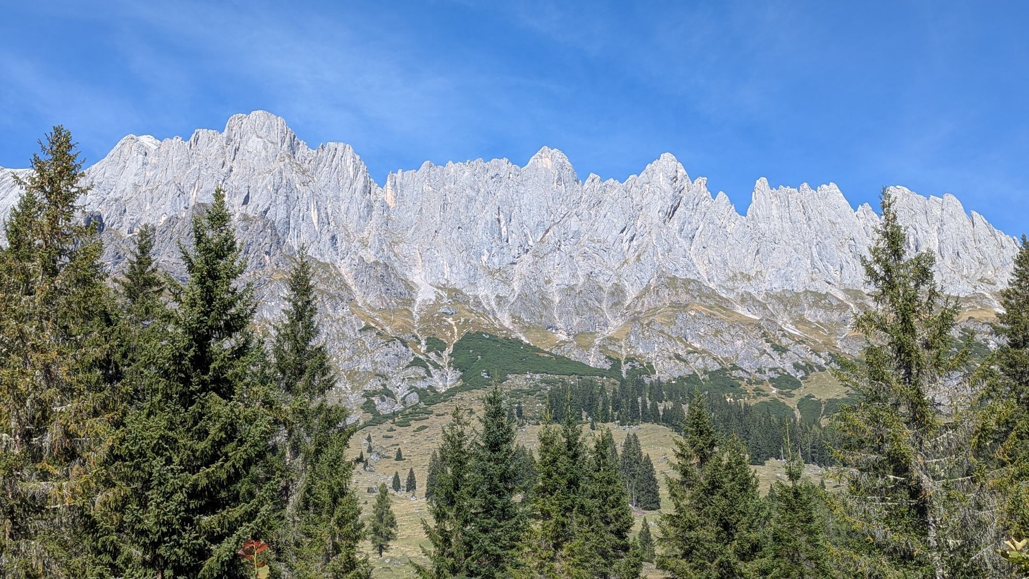
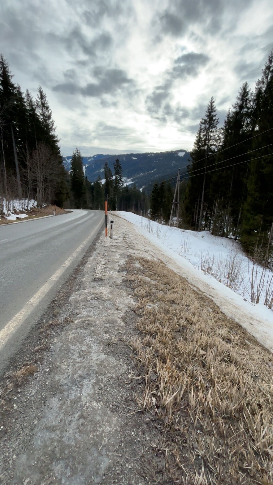
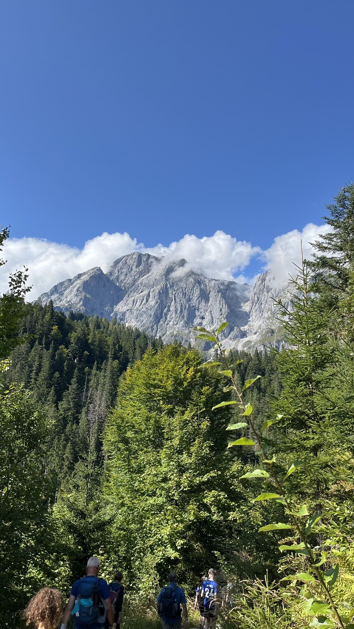
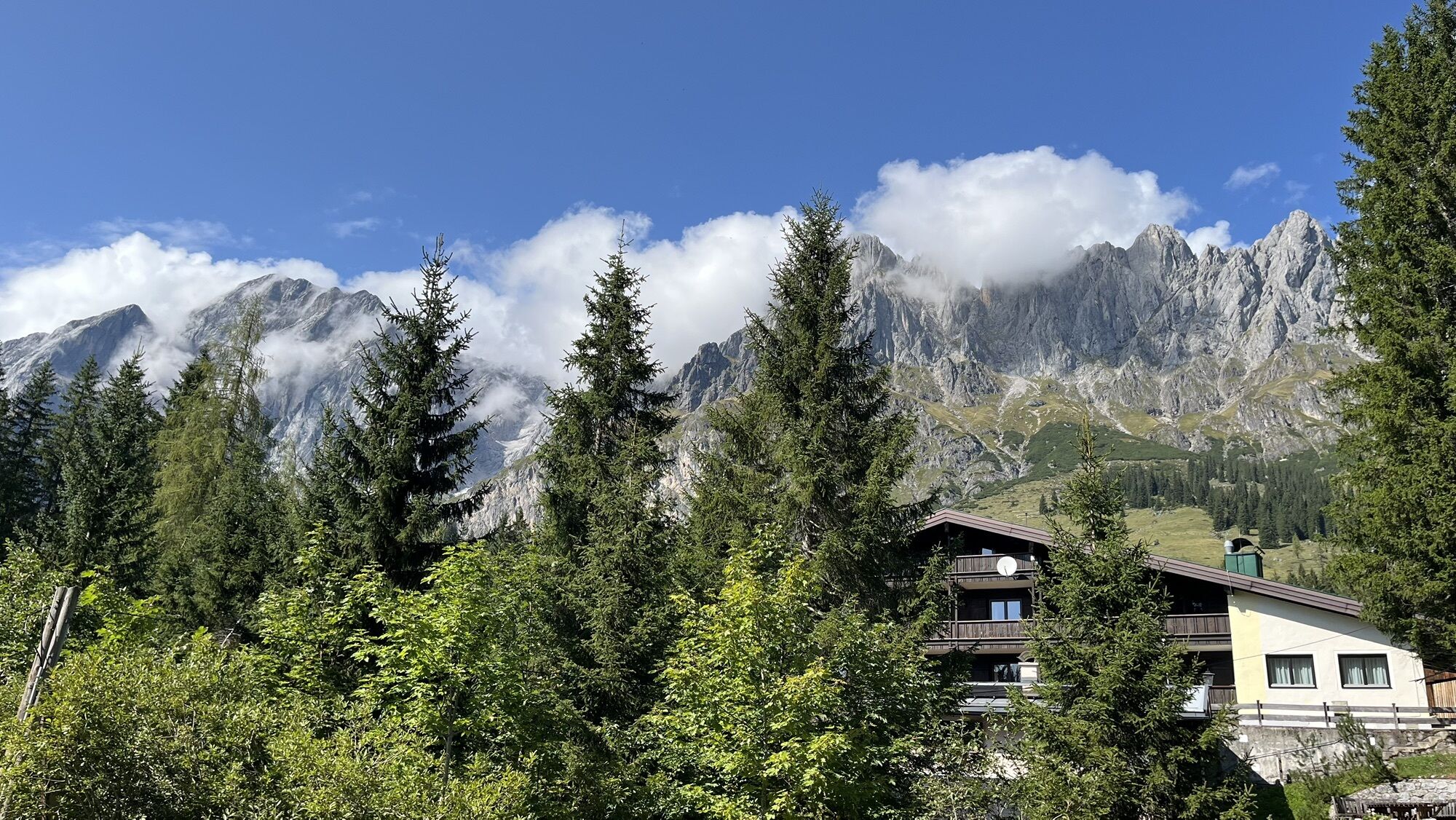
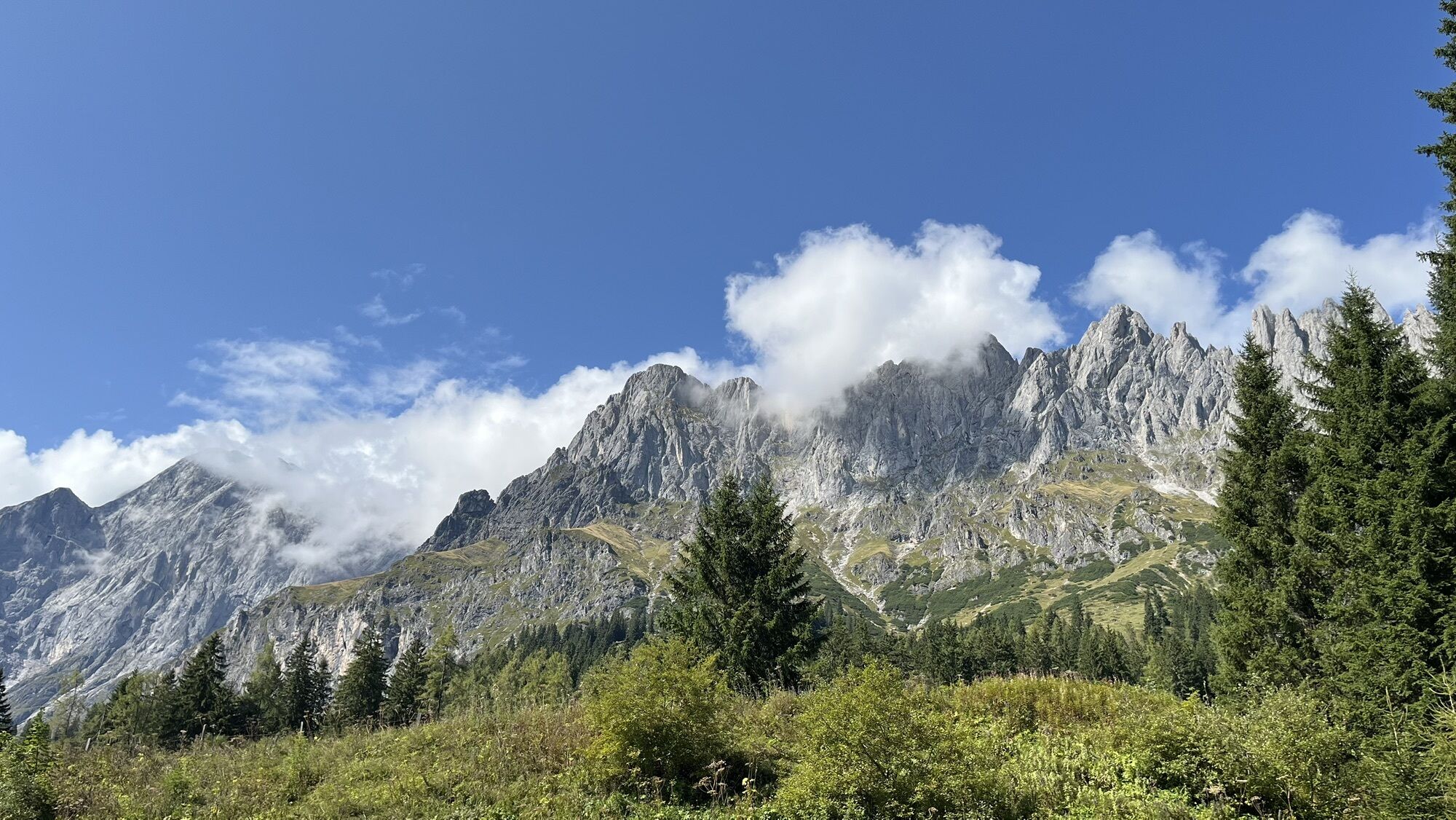
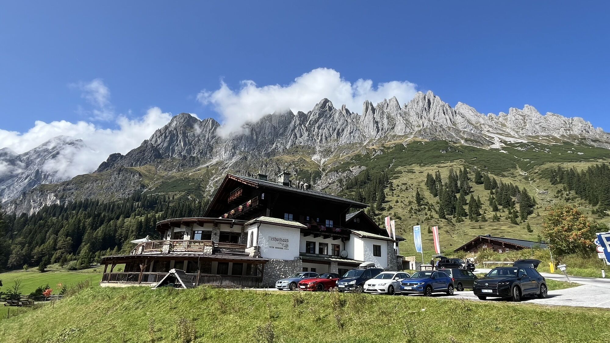
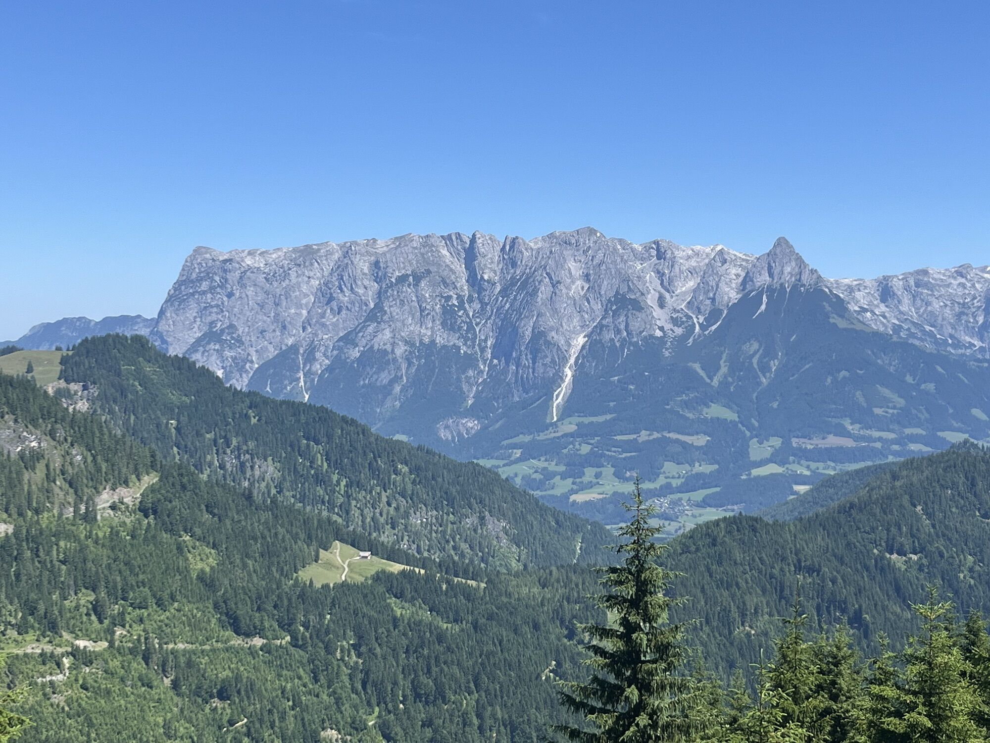
From the town center of Mühlbach (eMTB-recharging-station next to Bauer bakery), ride along the main road (B164) towards Bischofshofen. After ca. 1.5 km, turn right onto the Bliem supply lane (path No....
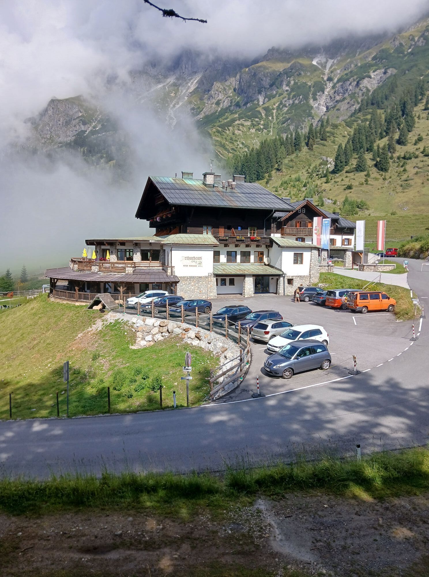
From the town center of Mühlbach (eMTB-recharging-station next to Bauer bakery), ride along the main road (B164) towards Bischofshofen. After ca. 1.5 km, turn right onto the Bliem supply lane (path No. 81) and follow signs as far as the fork marked Bischofshofen-Pronebenalm. Head towards Bischofshofen, with the route taking you over the Kohlmeiss Höhe to the works grounds in Mitterberghütten. At the main road, turn left, making another left across from "Autohaus Brötzner". Follow the Erzstraße in the direction of Zimmerberg. Now back on the main road (B164), ride in the direction of Mühlbach, turning right after a zebra crossing and following signs of the Mosottalm. Ca. 500 m after the Mosottalm, you will meet up with signs for the "Watzmann-Hochkönig-Runde" - ca. 2.5 km until you reach path No. 18a. Branch off to the right here and follow this path to Berggasthof Arthurhaus. Now the Mandlwandstraße takes you steadily dowenhill back to the town center of Mühlbach.


Difficulty Ratings: DIFFICULT
Distance 37,2 km / Gains 1704 vm / Time over 4 hrs.
Riders must expect steep gradients, good to very good conditioning and regular training are required.
Áno
Controlled bike equipment with helmet
Sunglasses
sun protection
rain protection
Drinks and a small snack
Necessary medication
First aid kit
Bike map
Fair play!
Only ride on marked paths! Close all gates, barriers and pasture gates! Comply with the road traffic regulations! Only overtake at walking pace! Behave respectfully towards other nature users and forestry and hunting staff! Show consideration for animals! Do not leave any rubbish in the countryside! Act responsibly! weather forecasts: Check the current weather conditions at: www.zamg.at or www.uwz.at.Emergency numbers: Alpine emergency number: 140, International emergency number: 112, Rescue: 144
Hochkönigbundesstraße B164
www.hochkoenig.at/wanderbus
busnumber 590
ÖBB Scotty
Parking opposite the fire department.
3
Further information on hikes and activities in the Hochkönig region:
For detailed information about hiking maps, the opening hours of the cable cars and the huts and mountain pastures in summer, we recommend you visit the local service centre. There you will not only receive the hiking map, but also valuable tips on the best hiking routes and current conditions.
Opening hours of the mountain lifts in summer: The mountain lifts offer different opening hours during the summer months, which can vary depending on the weather and season. Please check the current operating times in advance.
Opening hours of huts & mountain huts in summer: The huts and mountain huts in the region are ideal rest stops for hikers. Here, too, opening hours may vary depending on the season and day of the week. Ask the friendly hosts for advice about the offers and specialities on site.
For more information, please visit our website: www.hochkoenig.at.
If you have any questions or require specific information, please do not hesitate to contact us:
- E-mail: region@hochkoenig.at
- Telephone: +43 (0)6584 20388
We look forward to helping you and hope you enjoy exploring the beautiful Hochkönig hiking region!
Also with eBike a challenging bike tour, for bikers who like to exhaust themselves!
Webové kamery z prehliadky

Obľúbené výlety v okolí
-
4,7
Werfenweng Mountainbikerunde Söldenhütte
strednáMountainbike 18,8 km -
4,9
Großarl: Heukareck
strednáTuristika 12,5 km -
4,9
Summit stormer route Lauskopf
ťažkéTuristika 8,16 km -
4,8
Summit storming route Taghaube
ťažkéTuristika 6,25 km -
4,7
About the "Four Huts circular route" to Windraucheggalm
strednáTuristika 10,1 km -
3,7
Wanderung zur Ostpreußenhütte in Werfen (1.630 m)
strednáTuristika 11,2 km -
4,7
Großarl: Mooslehenalm – Niggeltalalm – Viehhausalm
strednáTuristika 5,44 km -
4,6
Panorama hike to the Hochkeil
strednáTuristika 6,07 km -
5,0
Großarl: Mooslehenalm - Höllwand - Heukareck - Niggeltalalm
ťažkéTuristika 13,2 km -
4,9
Hochkönig - Gipfel der Gefühle - Matrashaus
ťažkéTuristika 20,9 km
Turistika a stopovanie


Nenechajte si ujsť ponuky a inšpiráciu na ďalšiu dovolenku
Vaša e-mailová adresa bol pridaný do poštového zoznamu.


