






Großarl: Mooslehenalm - Höllwand - Heukareck - Niggeltalalm
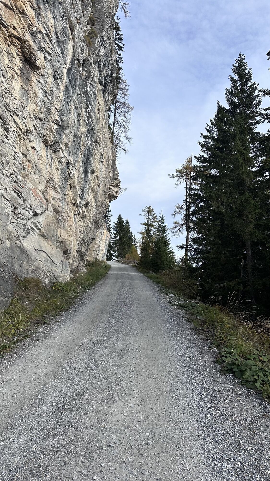
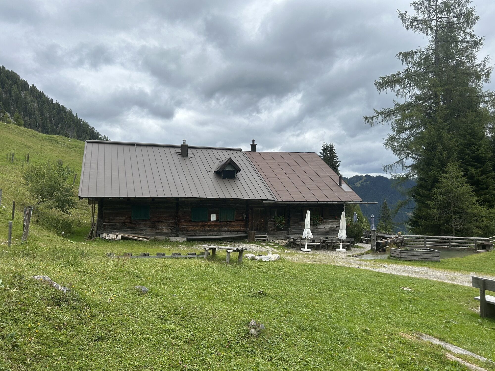
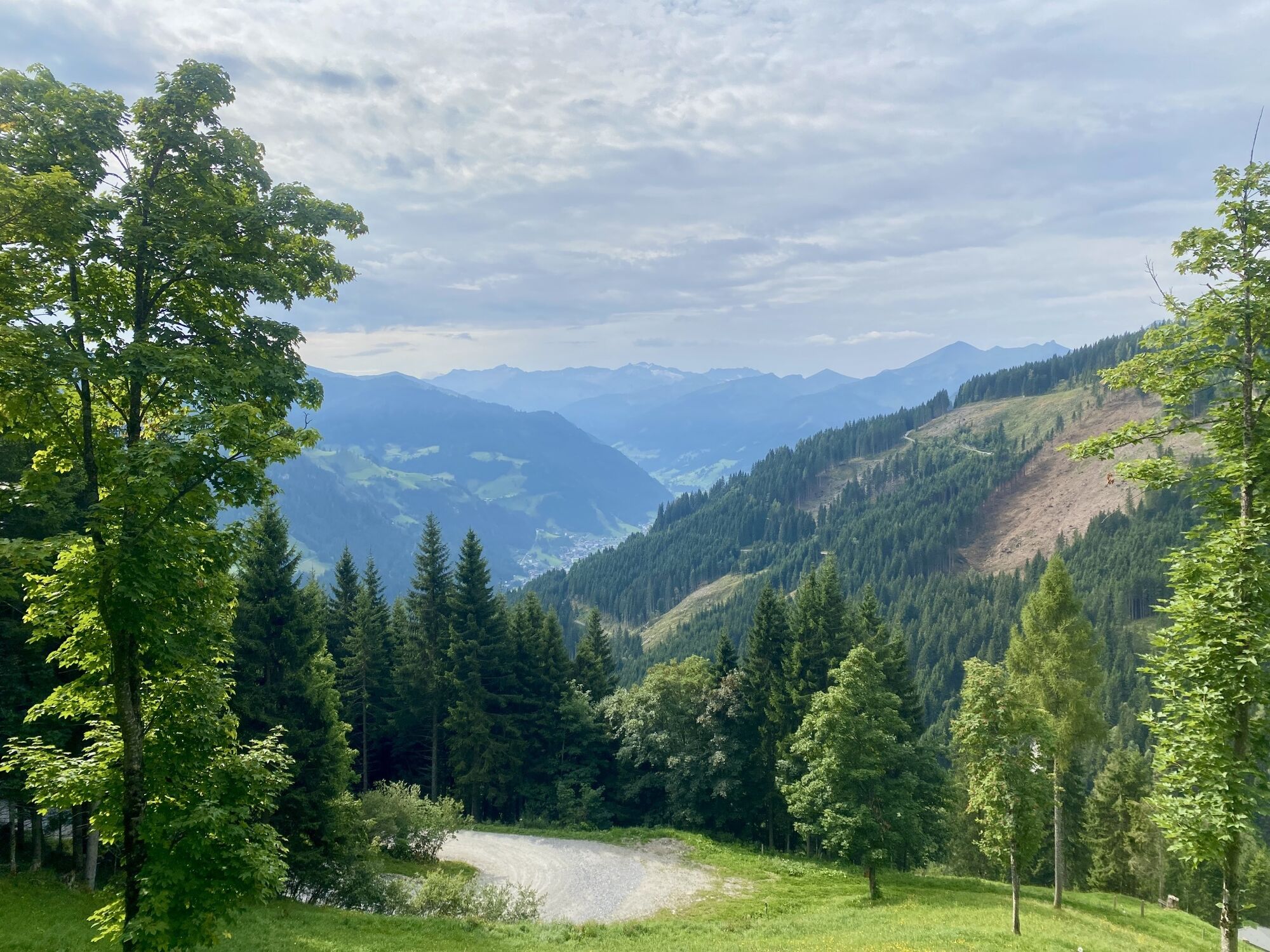
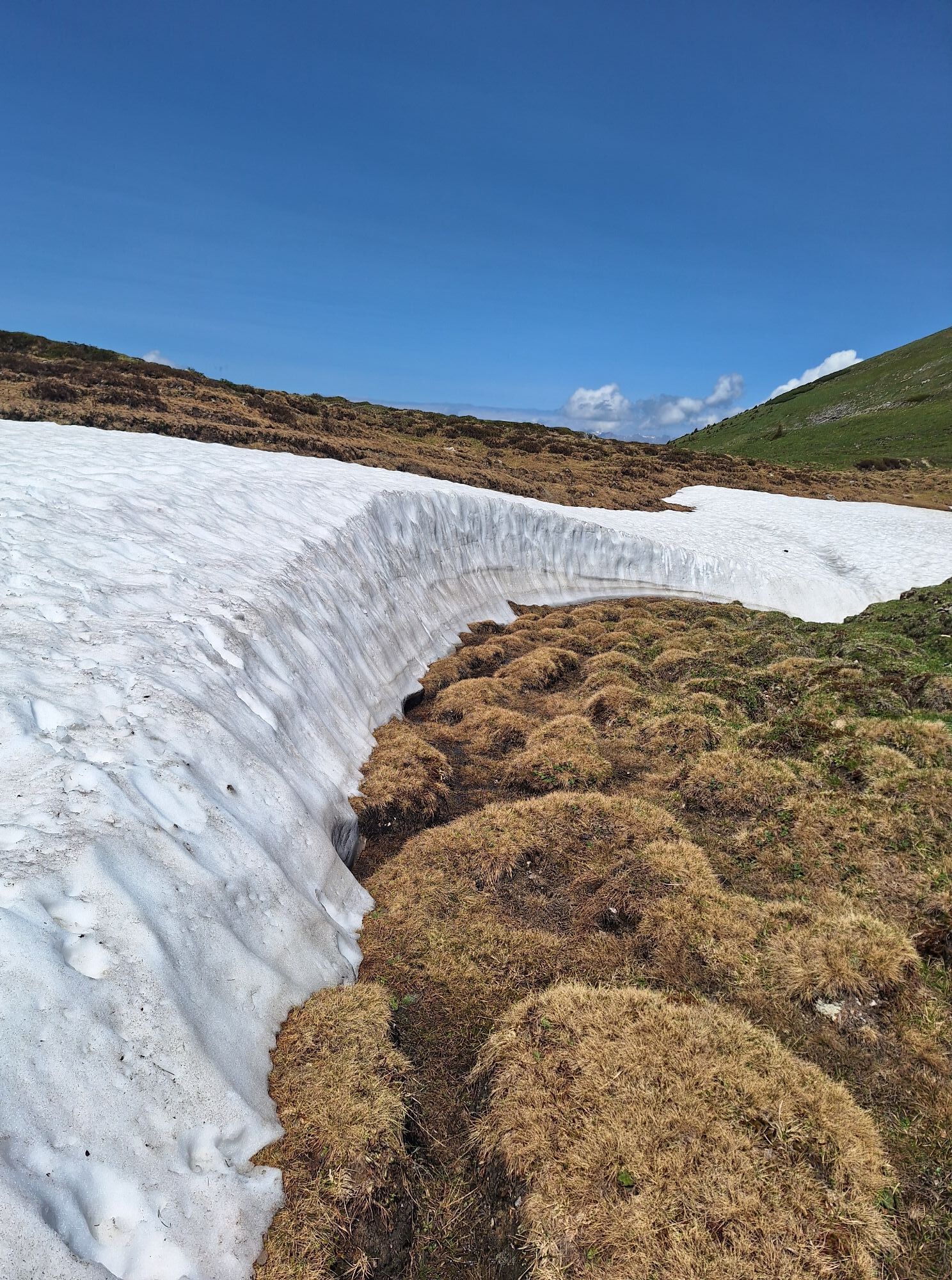
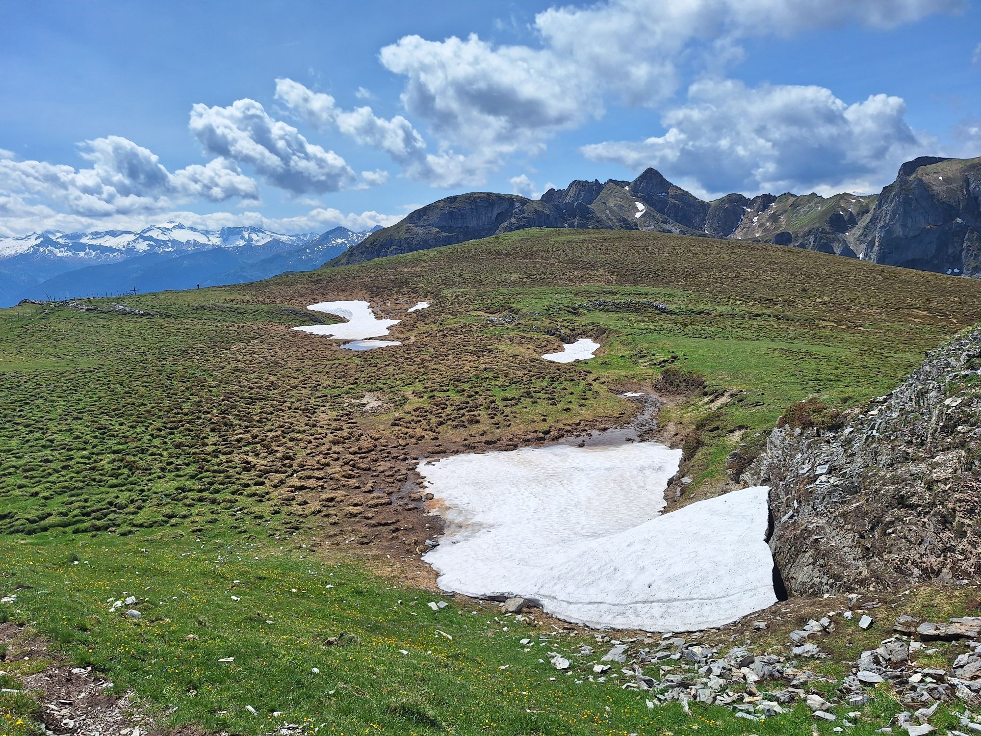
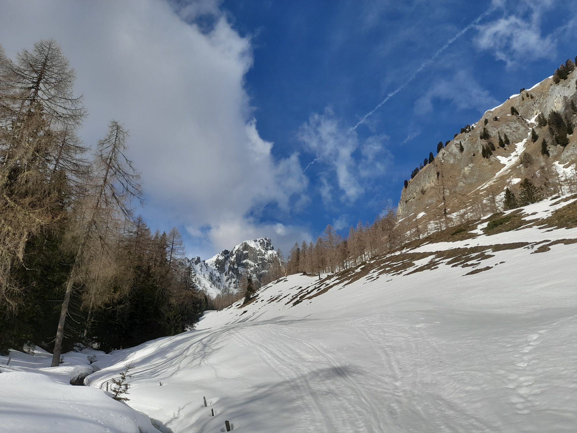
At the Holzlehen radio tower stands the "Himmelsknoten." This is a monument of the old scout guild. From there, the forest road leads to the Mooslehenalm. From the Himmelsknoten parking lot, a path leads...
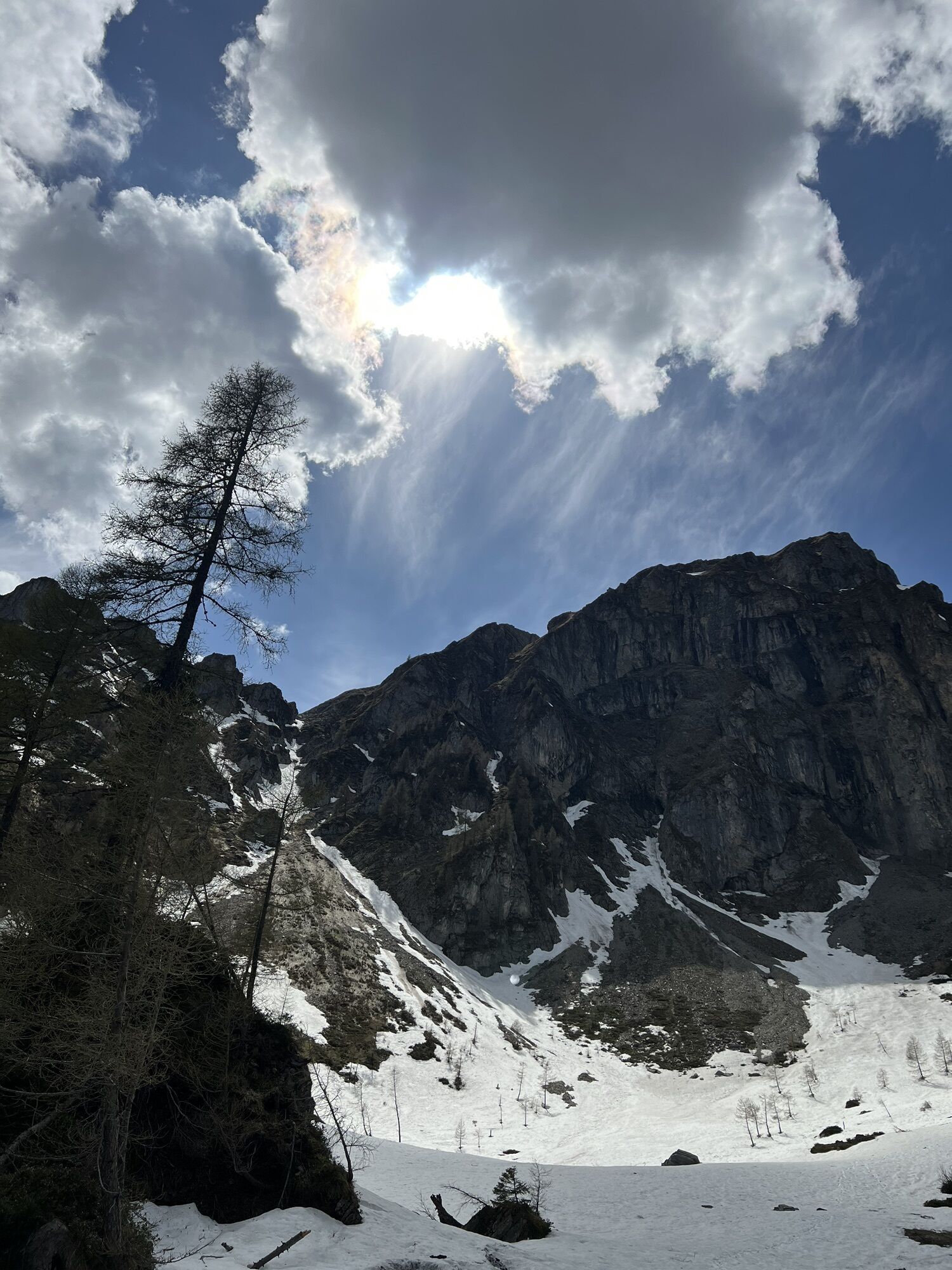
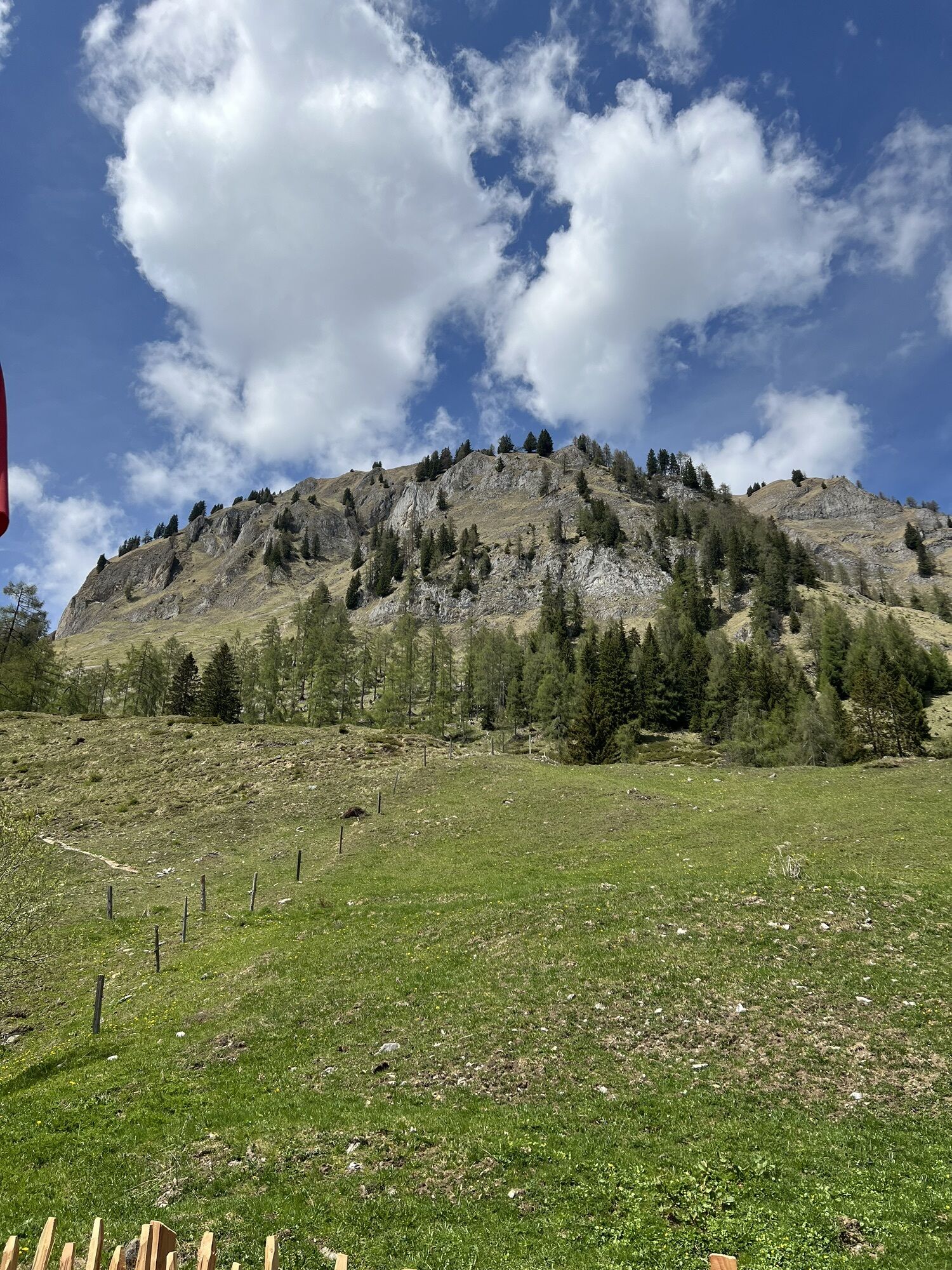
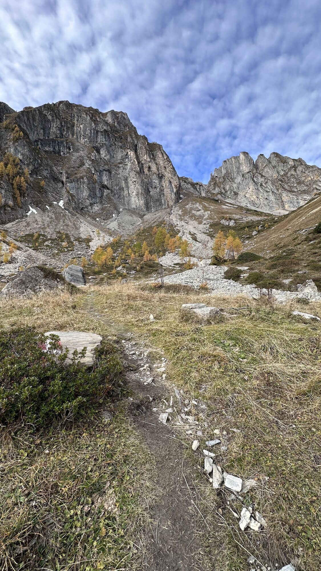
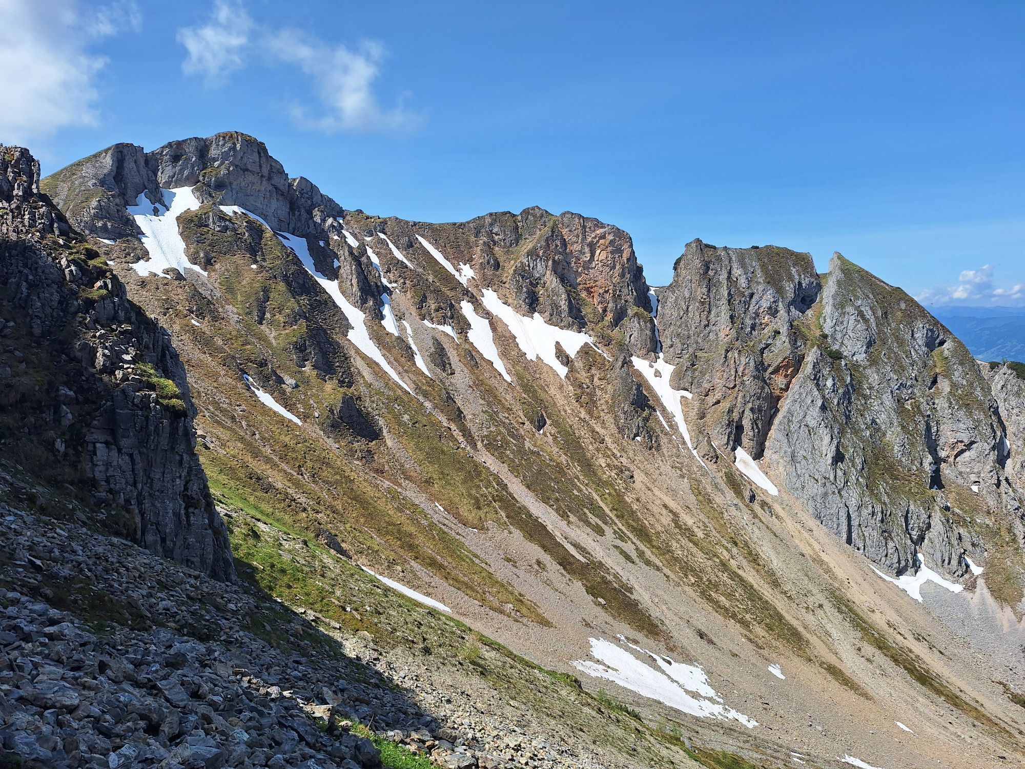
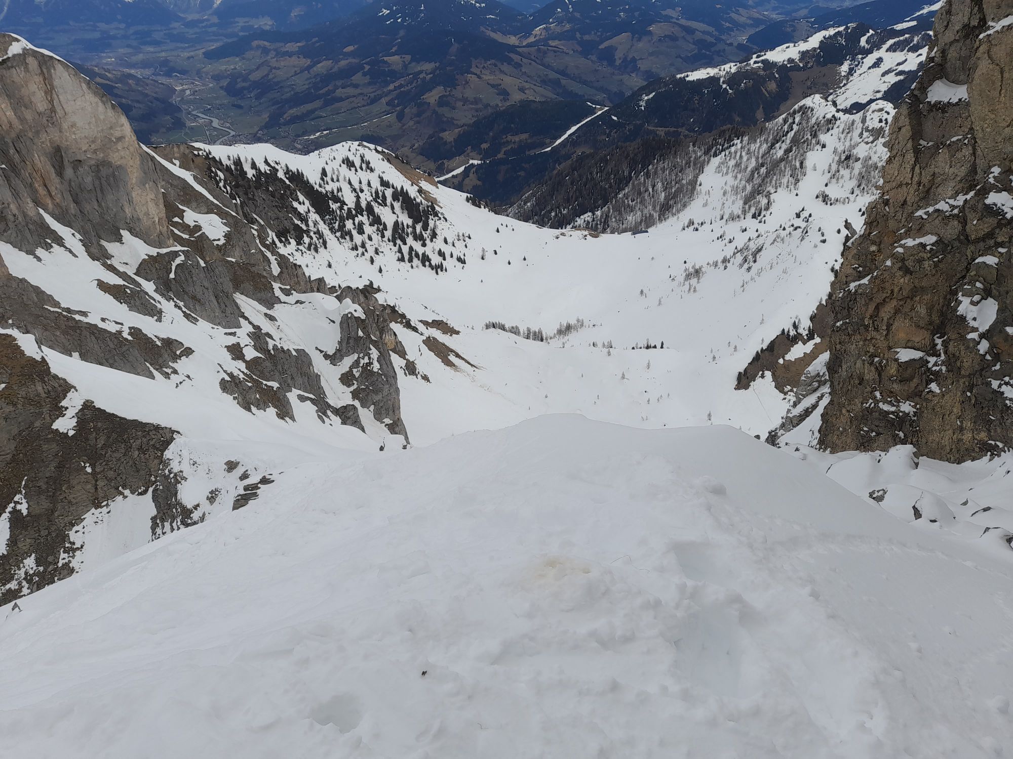
At the Holzlehen radio tower stands the "Himmelsknoten." This is a monument of the old scout guild. From there, the forest road leads to the Mooslehenalm. From the Himmelsknoten parking lot, a path leads to the Schiedalm (not managed) and then to the Schiedreitspitz. Below the Schiedreitspitz, continue on to the Höllwand. The Höllwand strongly shapes the local image of Großarl towards the north. Like a fortress, it watches over the quiet valley floor and protects it against the cold winds from the Salzachtal. Alongside the Schuhflicker and the Draugstein, the Höllwand is one of the three limestone mountains in our valley. Up there, you have a dreamlike view of the Großarltal.
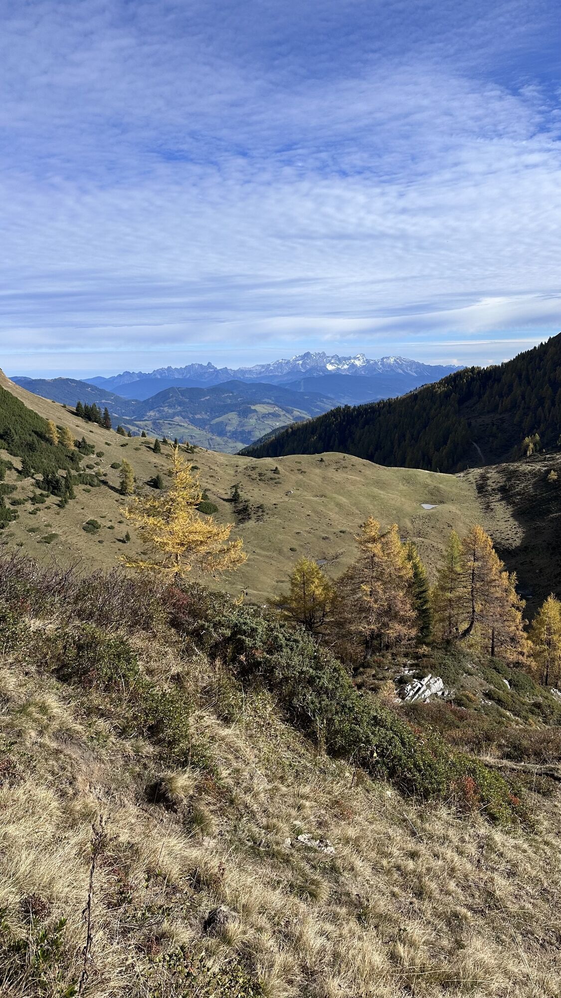
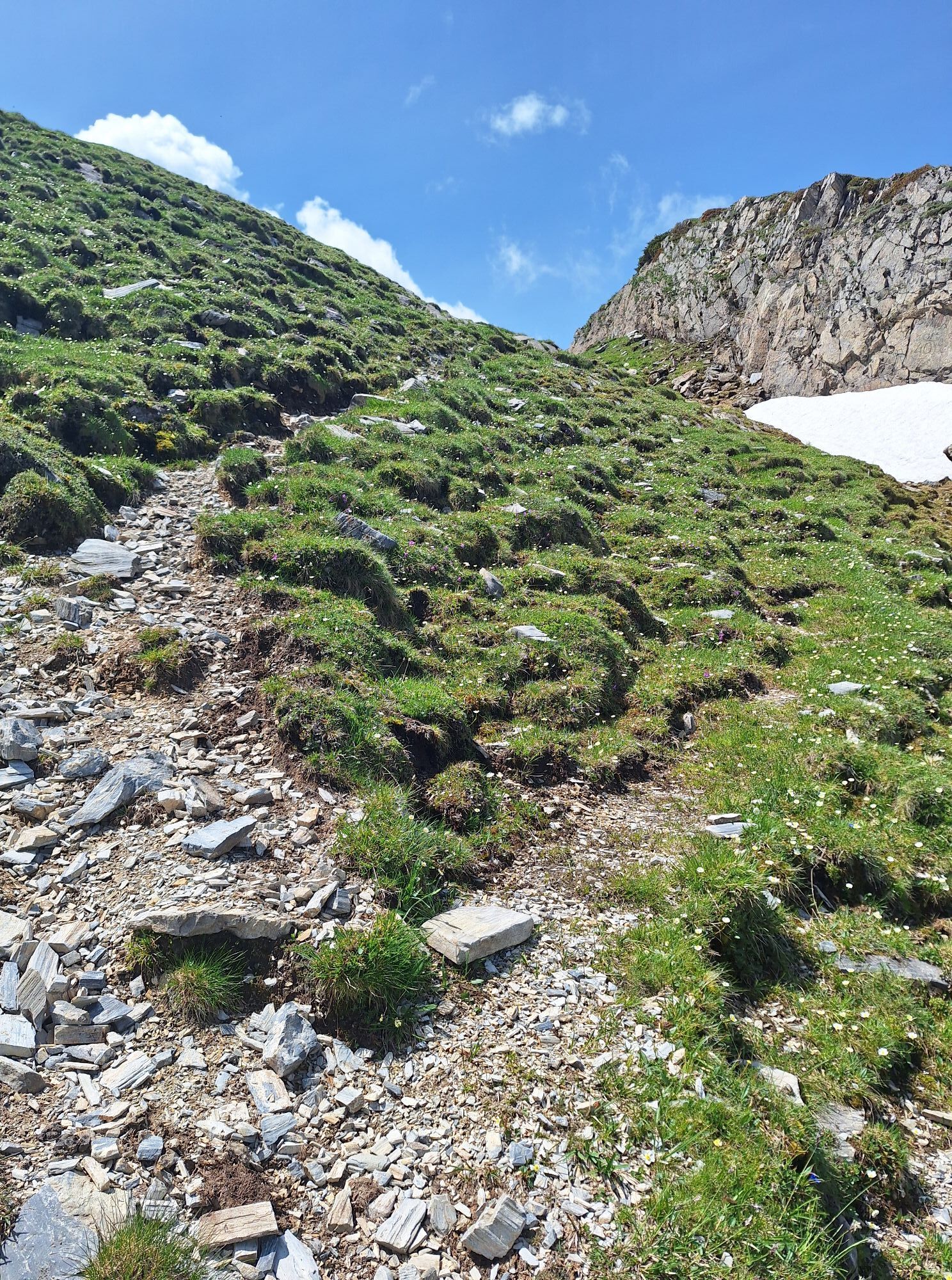
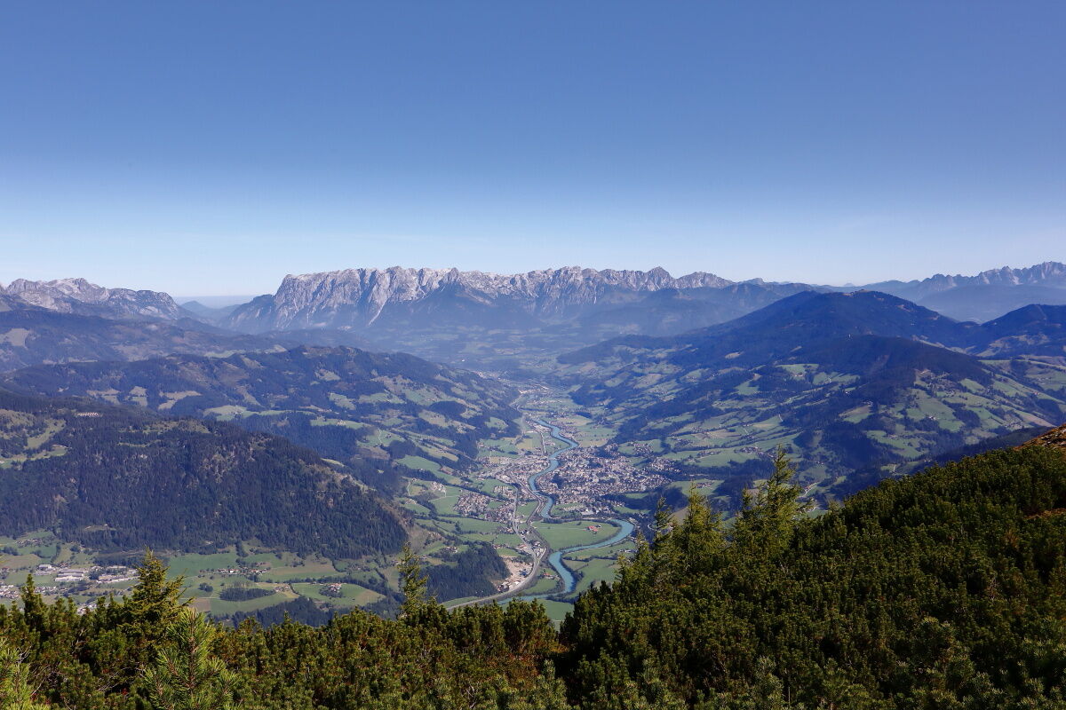
After a break, hike back to the junction via the same path and then continue towards Heukareck. On rocky terrain, first pass under the Höllwand and then go through a rope-secured path. Now follow an easier path downhill before starting the last ascent to Heukareck. Once at the top, you are rewarded for your efforts with a wonderful view of the Salzachtal – you can see into Oberpinzgau and, if the weather is very clear, all the way to the city of Salzburg.
To finish this circular route, you can make a short detour to the Tennköpfl or Schober before descending to the Niggeltalalm and then back to the starting point of the route.

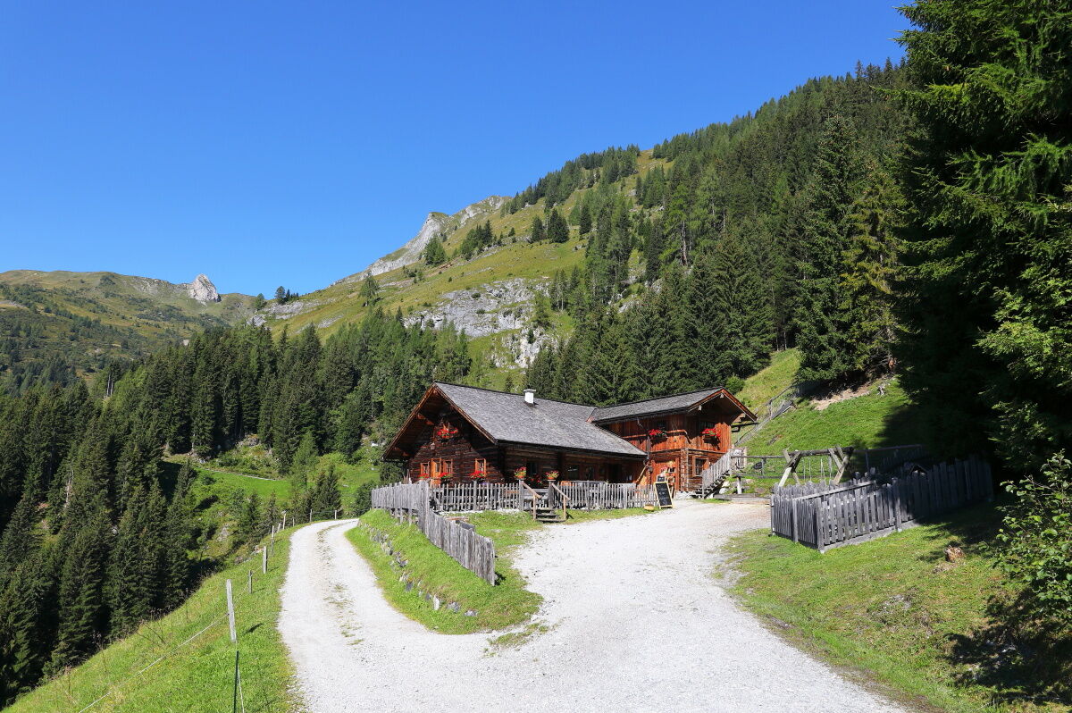
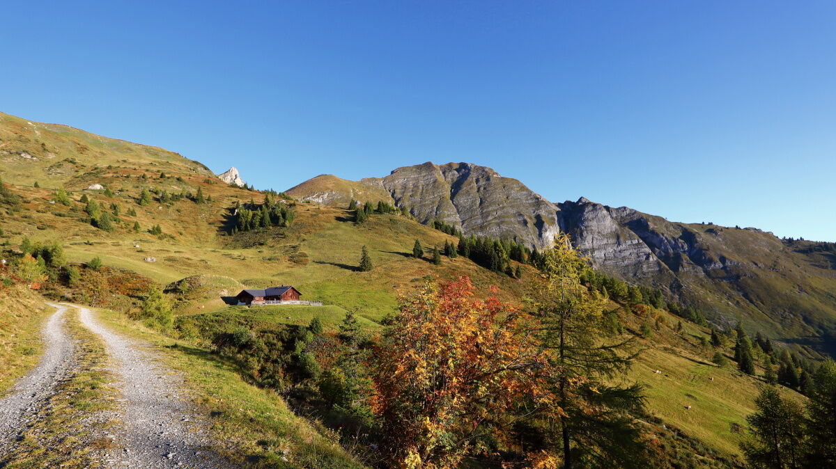
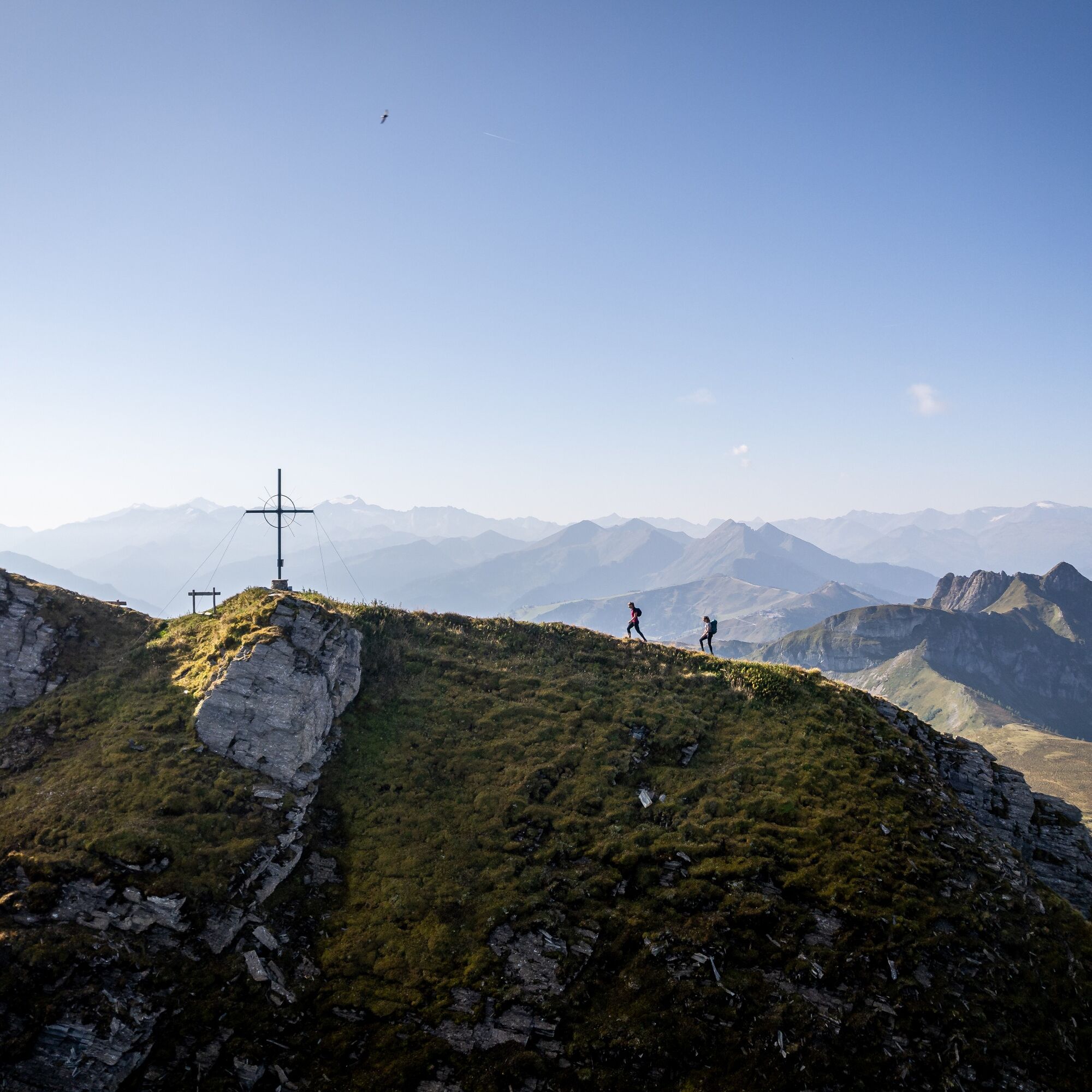
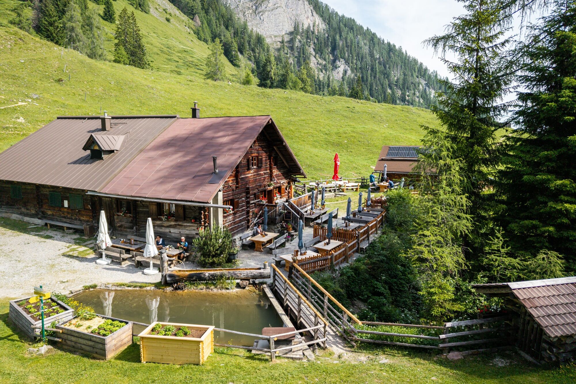

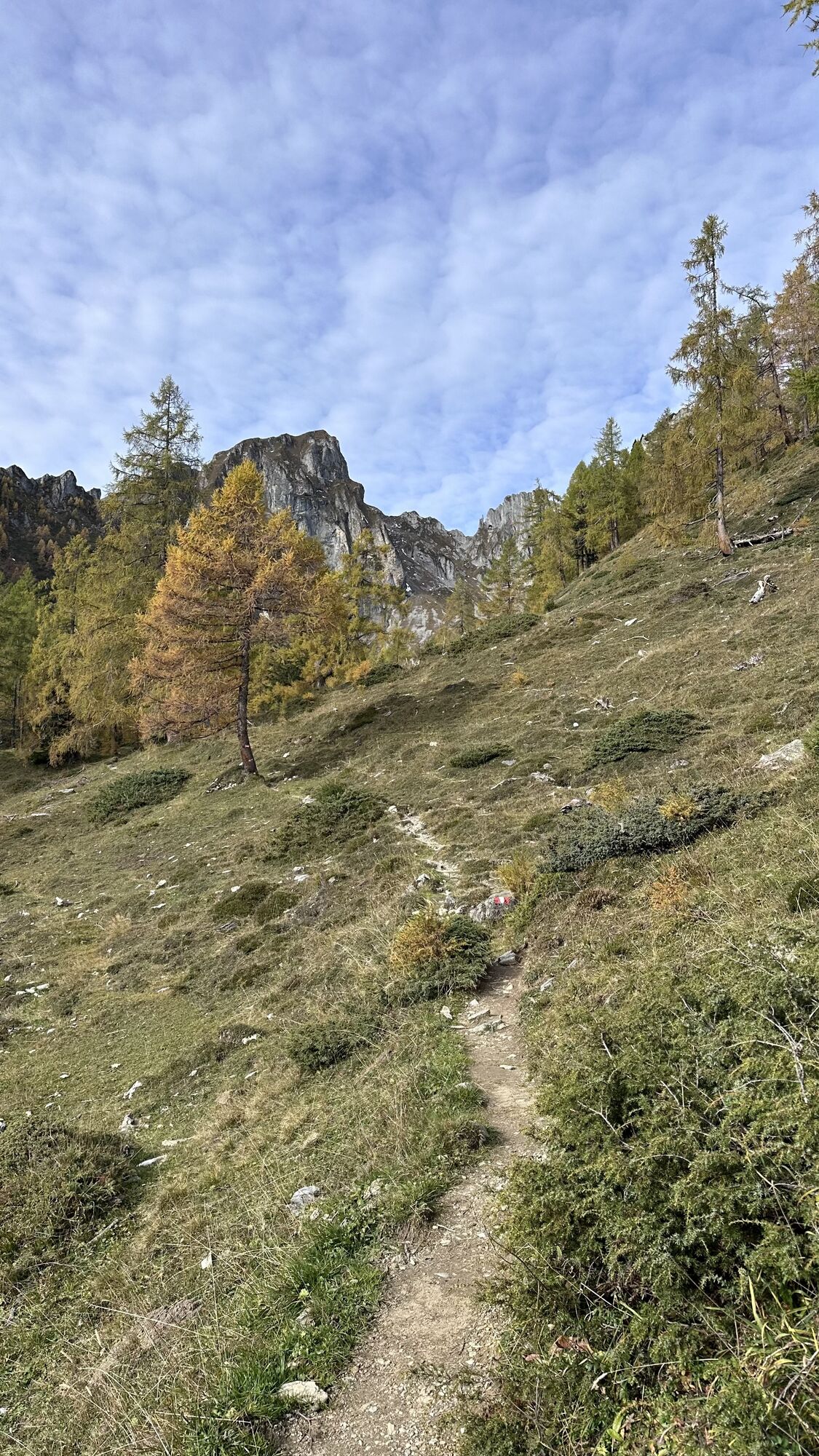
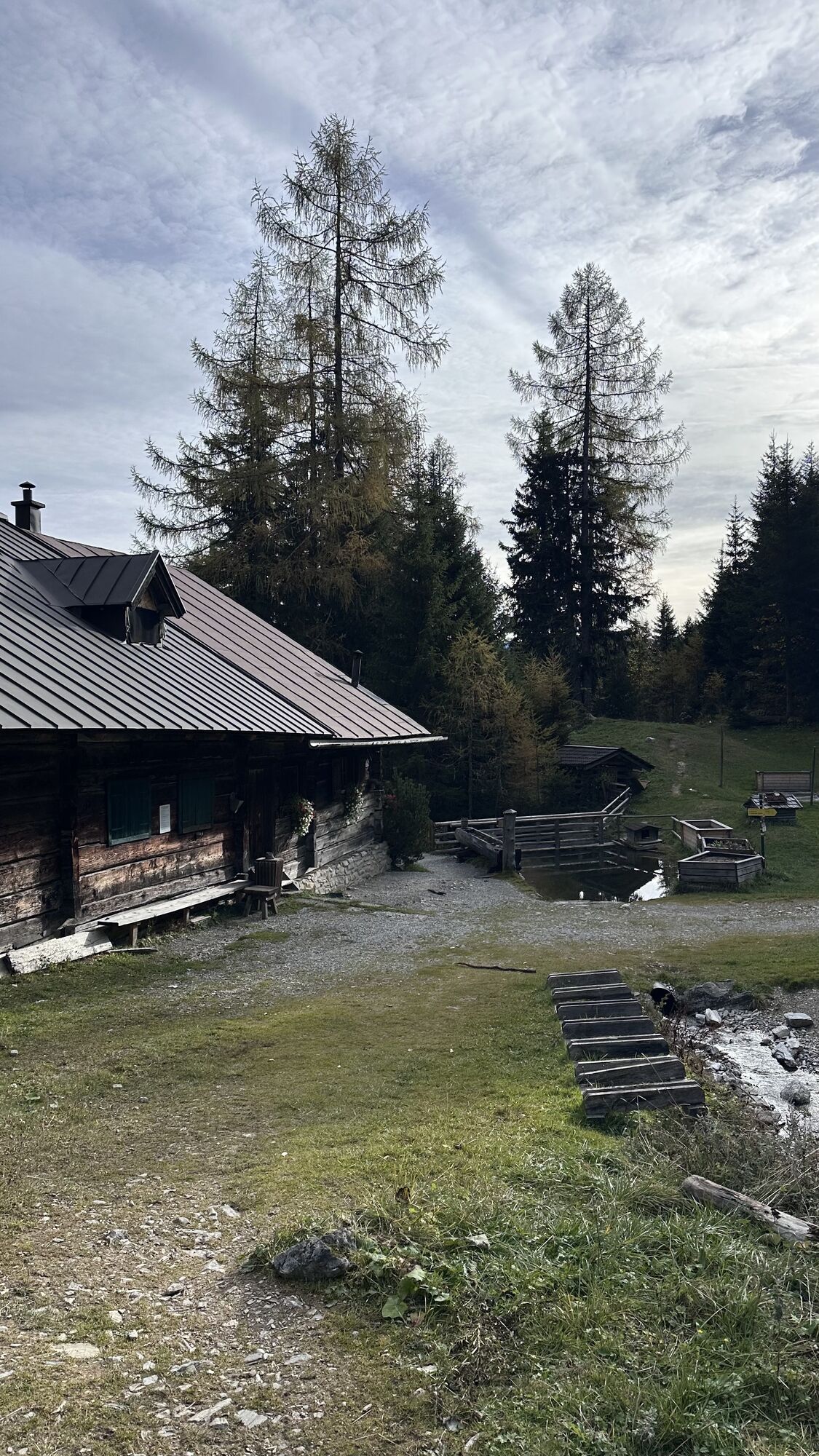
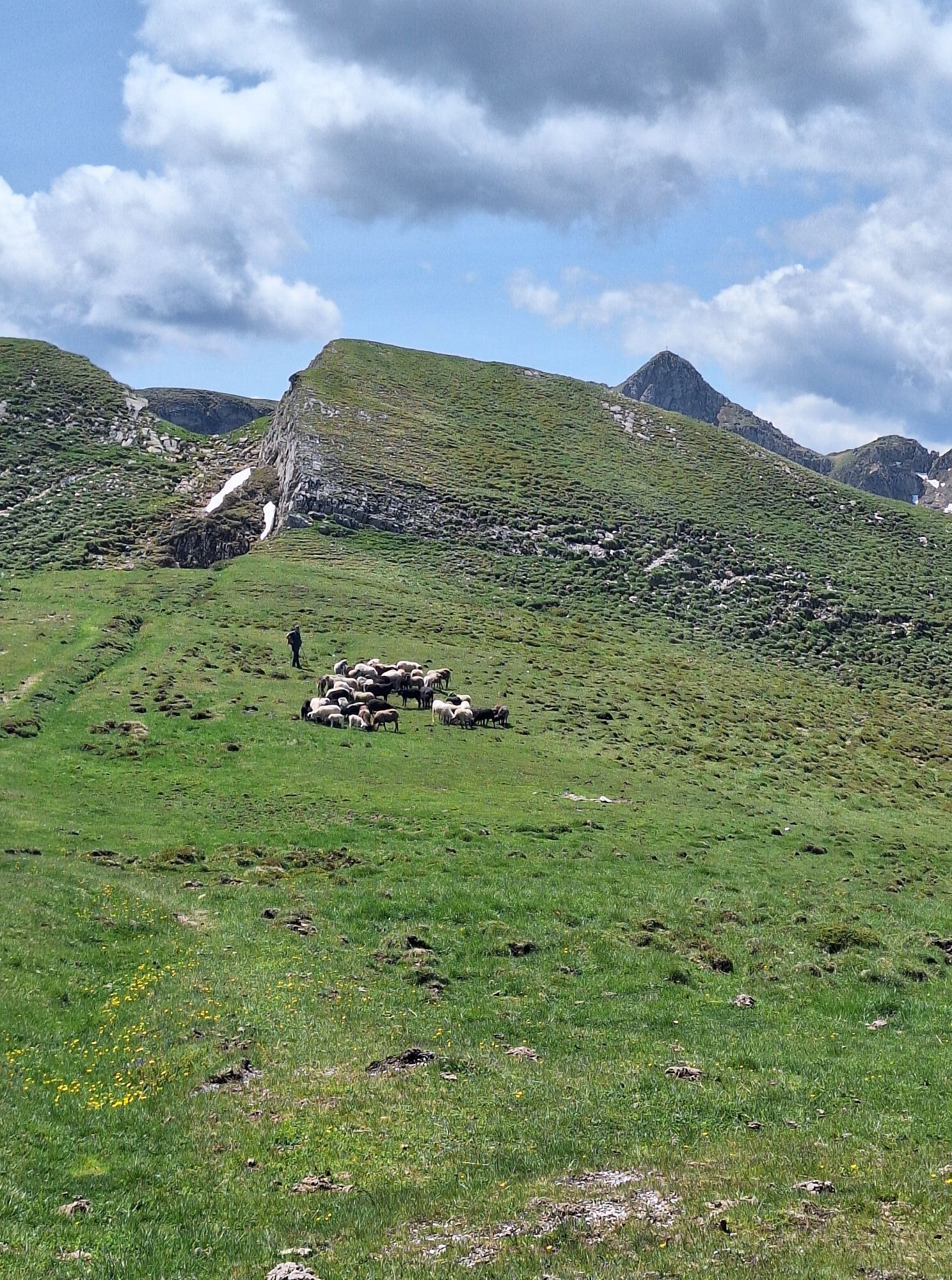
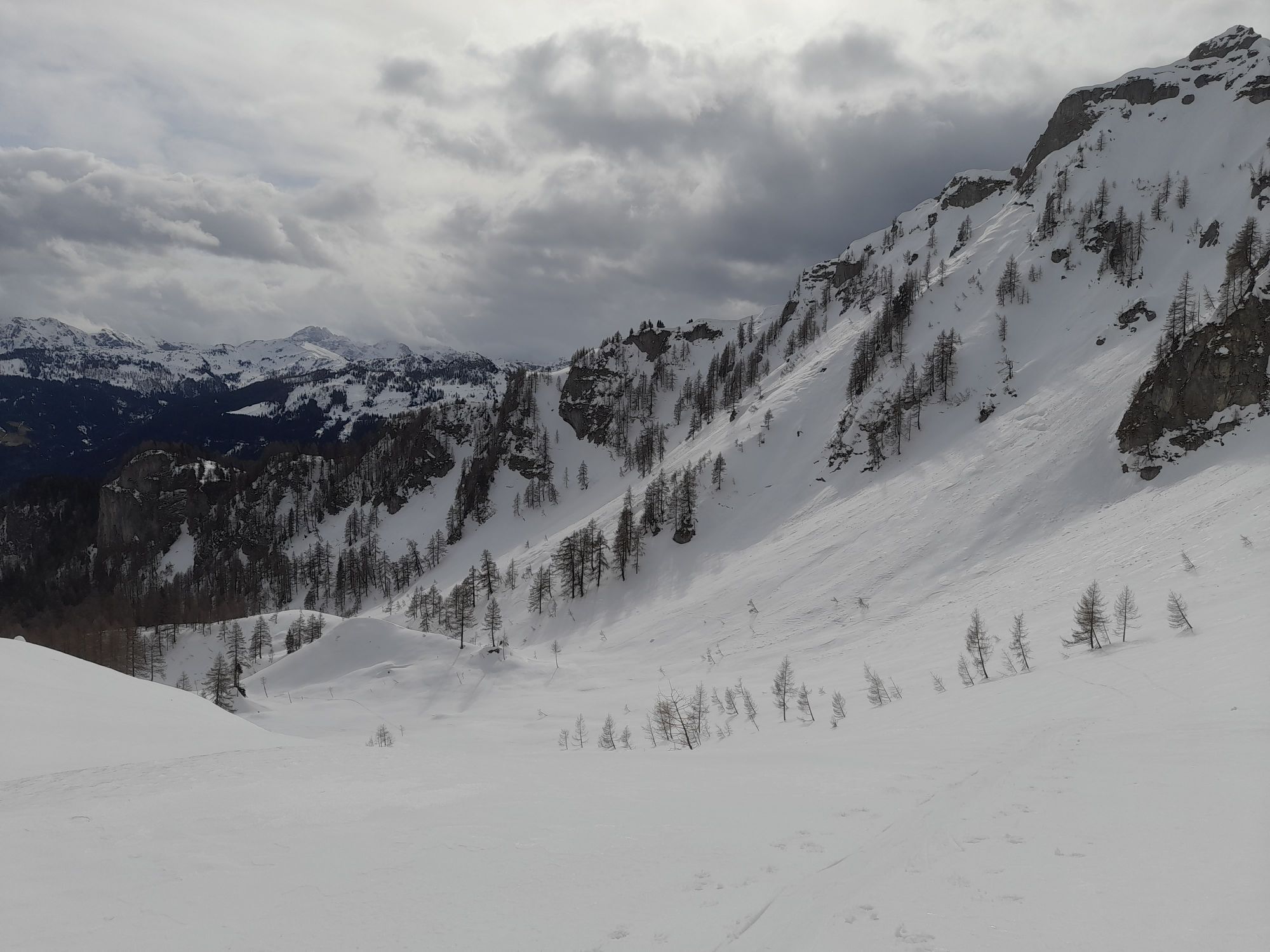
Drive by car or use the hiking taxi to Holzlehenbauer and then to the Himmelsknoten parking lot. From here, ascend on the forest road (no. 31) to the Mooslehenalm, 1,449 m, then follow a path (no. 33) to the Schiedalm, 1,758 m (not managed). From there, follow the trail markers across the open terrain through the alpine meadows up to the nearby mountain ridge. On this small high plateau, first walk northward to reach a weather cross directly next to the Schiedreitspitz, 2,094 m, which rises as a single rocky outcrop. On rocky terrain, first pass behind the Höllwand and then go through a steep path secured with a rope. A somewhat steeper path now leads uphill to a notch below the summit on the left and finally ends, after winding upward in switchbacks, at the summit cross of the Höllwand, 2,287 m (about 3 1/2 hours). Return the same way to the junction, then follow the rocky path below the Höllwand towards Heukareck (no. 31) and pass the rope-secured path. After an easier path downhill, follow the final ascent to the summit cross of Heukareck, 2,100 m (about 1 hour). On the way to the Niggeltalalm, 1,507 m (about 1 3/4 hours), you can make a detour to the Tennköpfl, 1,978 m or the Schober, 1,997 m. From the Niggeltalalm, return via the forest road to the starting point (about 3/4 hour).
Áno
Áno
Hiking boots with profiled sole, hiking map, backpack with provisions, water bottle, and first aid kit
Freedom from dizziness and surefootedness are absolutely necessary for this route.
Drive by car or take the hiking taxi past the Schiedweg by the Hotel Alpenklang and Holzlehenbauer. Continue to the Himmelsknoten parking lot near the Holzlehen radio tower.
Himmelsknoten parking lot
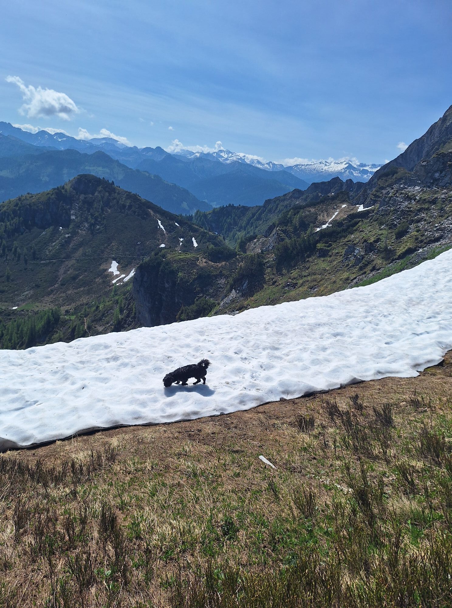
From the Heukareck you have the best view of the Salzachtal.



Webové kamery z prehliadky
-
Kreuzkogel
-
Fulseck
-
Gernkogel - Alpendorf St. Johann
-
Dorfgastein - Spiegelsee
-
Bergstation 6er Sesselbahn Harbach
-
Gästehaus Hagenhofer - Dorfgastein
-
St. Johann-Alpendorf
-
Kühhagerbahn Bergstation
-
Großarl - Ort
-
St.Johann-Alpendorf Gernkogel
-
Gernkogel - Alpendorf St. Johann
-
Gernkogel - Alpendorf St. Johann
-
Dorfgastein - Spiegelsee
-
Dorfgastein - Spiegelsee
-
Dorfgastein - Spiegelsee
-
Dorfgastein - Spiegelsee
-
Dorfgastein - Bergl
-
Großarl - Kieserlbahn
-
Grossarl - Hotel Gasthof Schützenhof
-
Großarl - Hotel Kristall Übungslift
-
Bergstation Kieserl
-
Fulseck
-
Fulseck
-
Fulseck
-
Fulseck
-
Fulseck
-
Fulseck
-
Gernkogel - Alpendorf St. Johann
-
Gernkogel - Alpendorf St. Johann
-
Gernkogel - Alpendorf St. Johann
-
Gernkogel - Alpendorf St. Johann
-
Großarl
-
St. Johann-Alpendorf
-
St. Johann-Alpendorf
-
St. Johann-Alpendorf
-
St. Johann-Alpendorf
Získajte prehľad
Vždy naživo na mieste s viac ako 9 500 webovými kamerami. bergfex Ako používateľ Pro si teraz môžete pozrieť príslušné webové kamery pre mnohé zájazdy v aplikácii zájazdy z. Môžete si tak priamo prezerať aktuálne podmienky.
Aktivity počas prehliadky
-

Großarl, Salzburg/Österreich
07.07.2026 – Turistika -

Heukareck, Höllwand, Großarl, Salzburg/Österreich
05.07.2026 – Turistika -

Großarl, Salzburg/Österreich
02.07.2026 – Turistika -

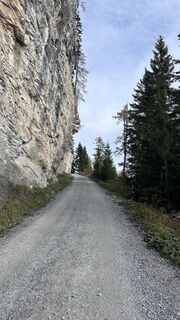
Heukareck, Schober, Großarl, Salzburg/Österreich
20.10.2025 – Horská turistika -

Großarl, Salzburg/Österreich
12.10.2025 – Turistika -

Großarl, Salzburg/Österreich
12.10.2025 – Turistika -
Großarl, Salzburg/Österreich
11.10.2025 – Turistika -
Großarl, Salzburg/Österreich
21.09.2025 – Turistika -

Großarl, Salzburg/Österreich
13.09.2025 – Turistika -
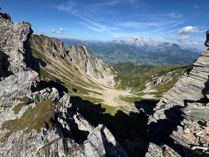
Großarl, Salzburg/Österreich
26.08.2025 – Turistika -

Großarl, Salzburg/Österreich
25.08.2025 – Turistika -

Großarl, Salzburg/Österreich
10.08.2025 – Turistika -

Großarl, Salzburg/Österreich
29.05.2025 – Turistika
Obľúbené výlety v okolí
-
4,9
Großarl: Aualm - Liechtensteinkopf - Aukopf - Schuhflicker - Schuhflickersee
strednáTuristika 5,84 km -
5,0
Großarl: Alpine pasture circuit in Ellmautal
strednáTuristika 9,69 km -
4,1
Tappenkarsee Kleinarl
strednáTuristika 9,11 km -
4,7
Großarl: Mooslehenalm – Niggeltalalm – Viehhausalm
strednáTuristika 5,44 km -
4,7
Panorama hike to the Hochkeil
strednáTuristika 6,07 km -
4,7
About the "Four Huts circular route" to Windraucheggalm
strednáTuristika 10,1 km -
5,0
Hüttschlag: Karteistörl - Tappenkarsee - Draugsteintörl - Draugsteinalmen
strednáTuristika 13,5 km -
4,5
Gasteiner Höhenweg von Bad Gastein nach Bad Hofgastein
svetloTuristika 8,58 km -
4,9
Großarl: Bichlalm
strednáMountainbike 18,9 km -
4,8
Liechtensteinklamm mit Helix
svetloTematická trasa 3 km
Turistika a stopovanie


Nenechajte si ujsť ponuky a inšpiráciu na ďalšiu dovolenku
Vaša e-mailová adresa bol pridaný do poštového zoznamu.





