






From the Glemmtal to the Spieleckkogel
The Spieleckkogel (1,998 m) is indeed in "dangerous" proximity to the slopes of the Glemmtal Hochalmbahnen, yet not too many off-piste skiers get lost on this shapely snow pyramid. With some sense of orientation,...
The Spieleckkogel (1,998 m) is indeed in "dangerous" proximity to the slopes of the Glemmtal Hochalmbahnen, yet not too many off-piste skiers get lost on this shapely snow pyramid. With some sense of orientation, the solitary Spieleckkogel is a rewarding alternative to the always very busy Staffkogel or the much-visited Sonnspitze. With sufficient desire and fitness, the destinations can also be well combined. Due to the different slope orientations, this may be a sensible consideration in changing snow quality.

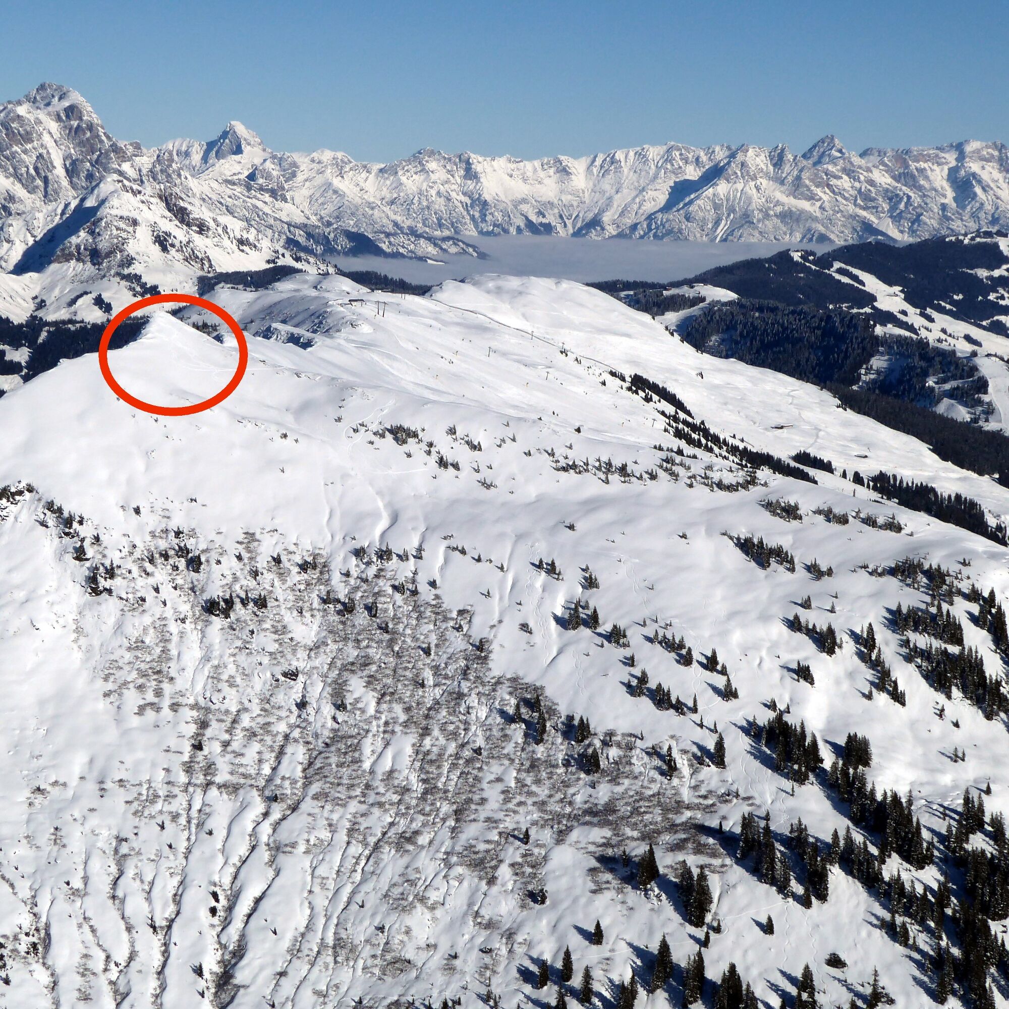
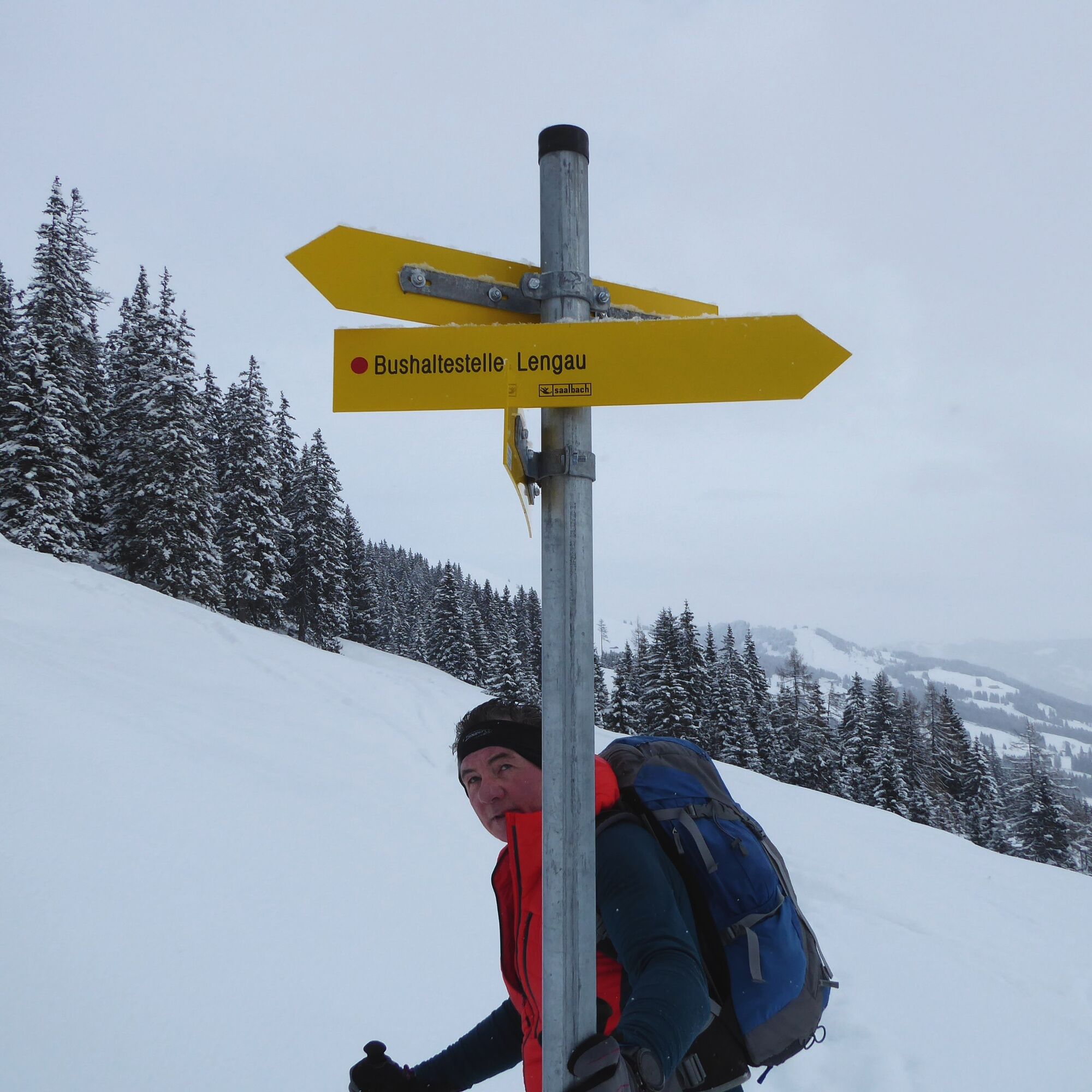
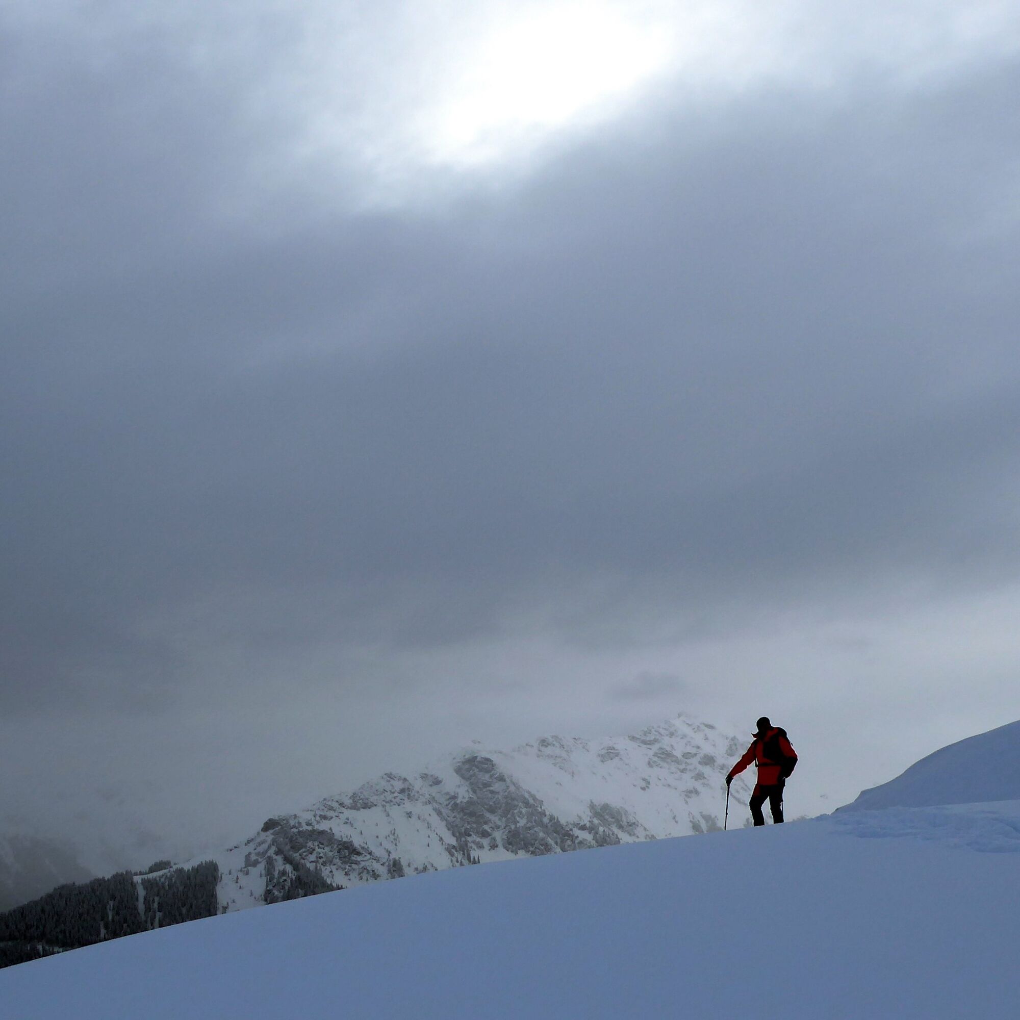
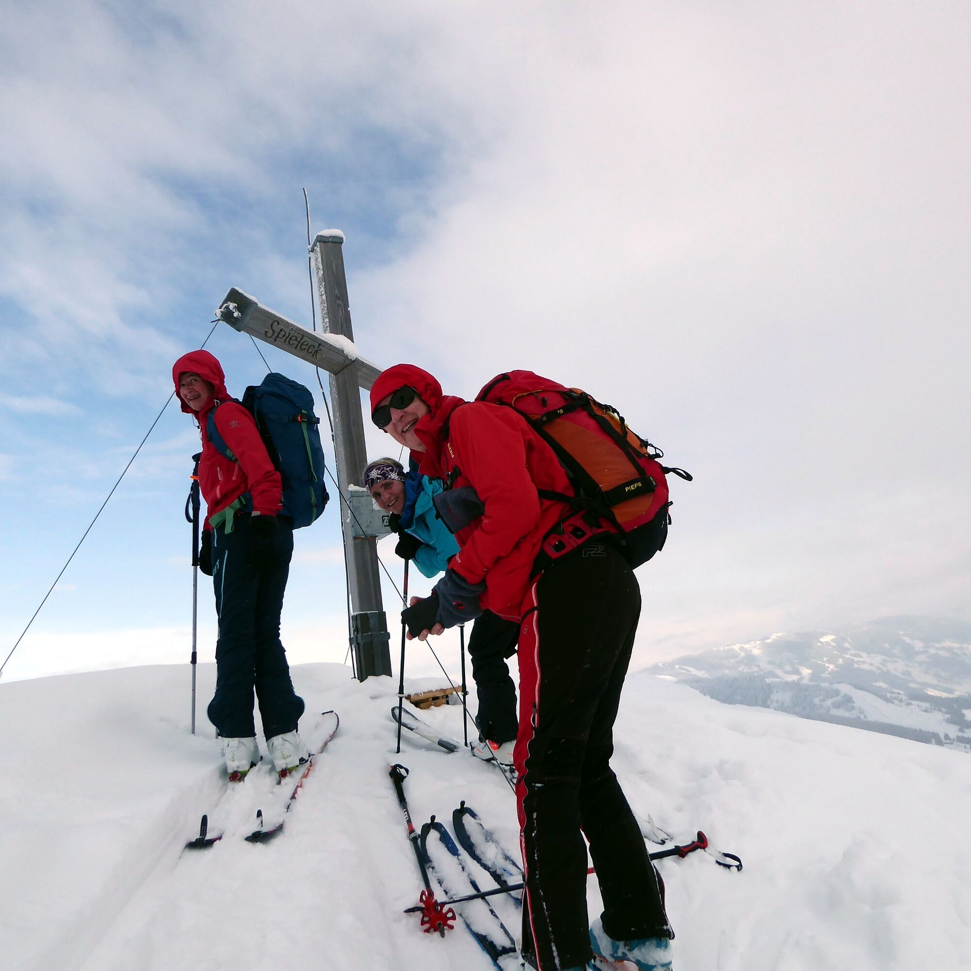
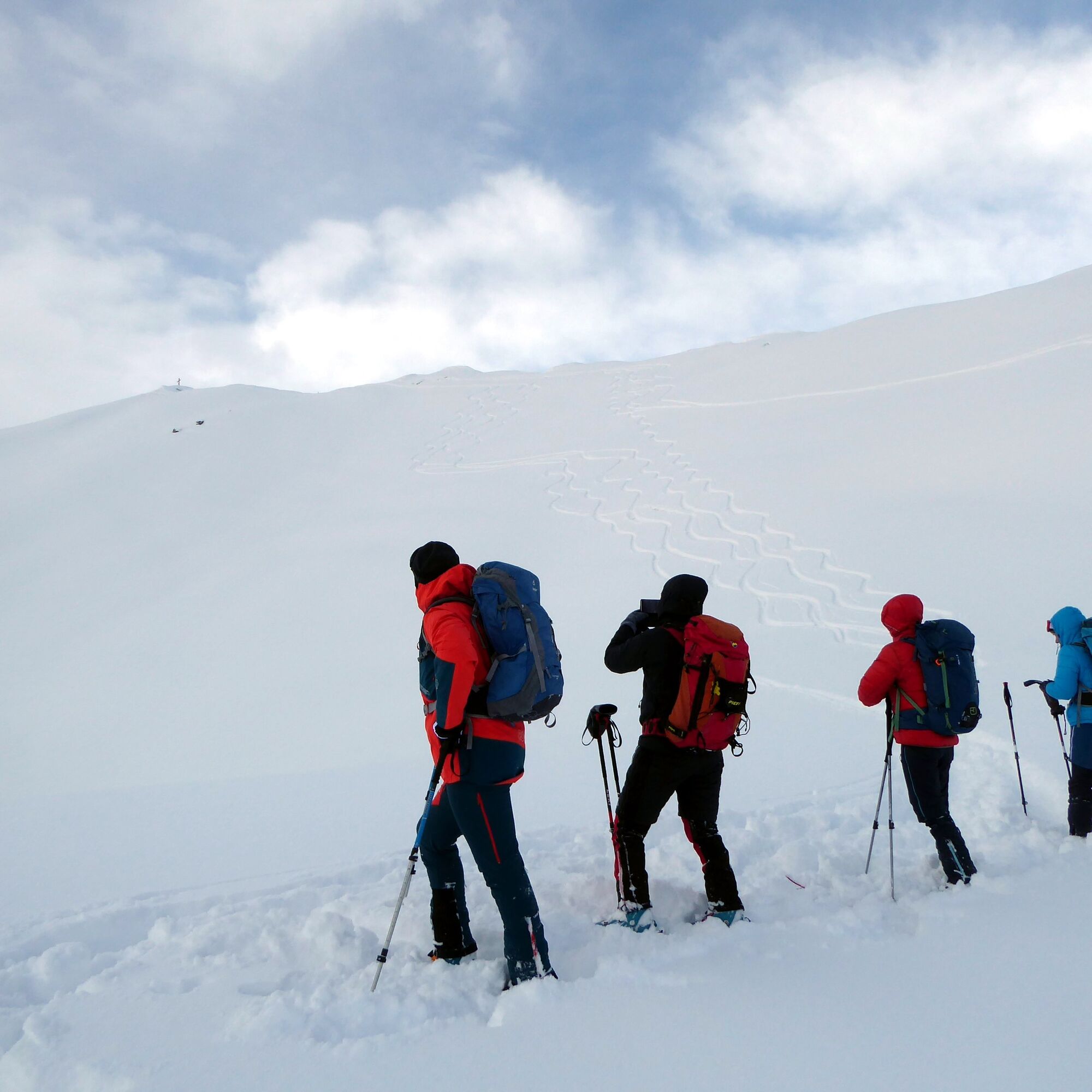
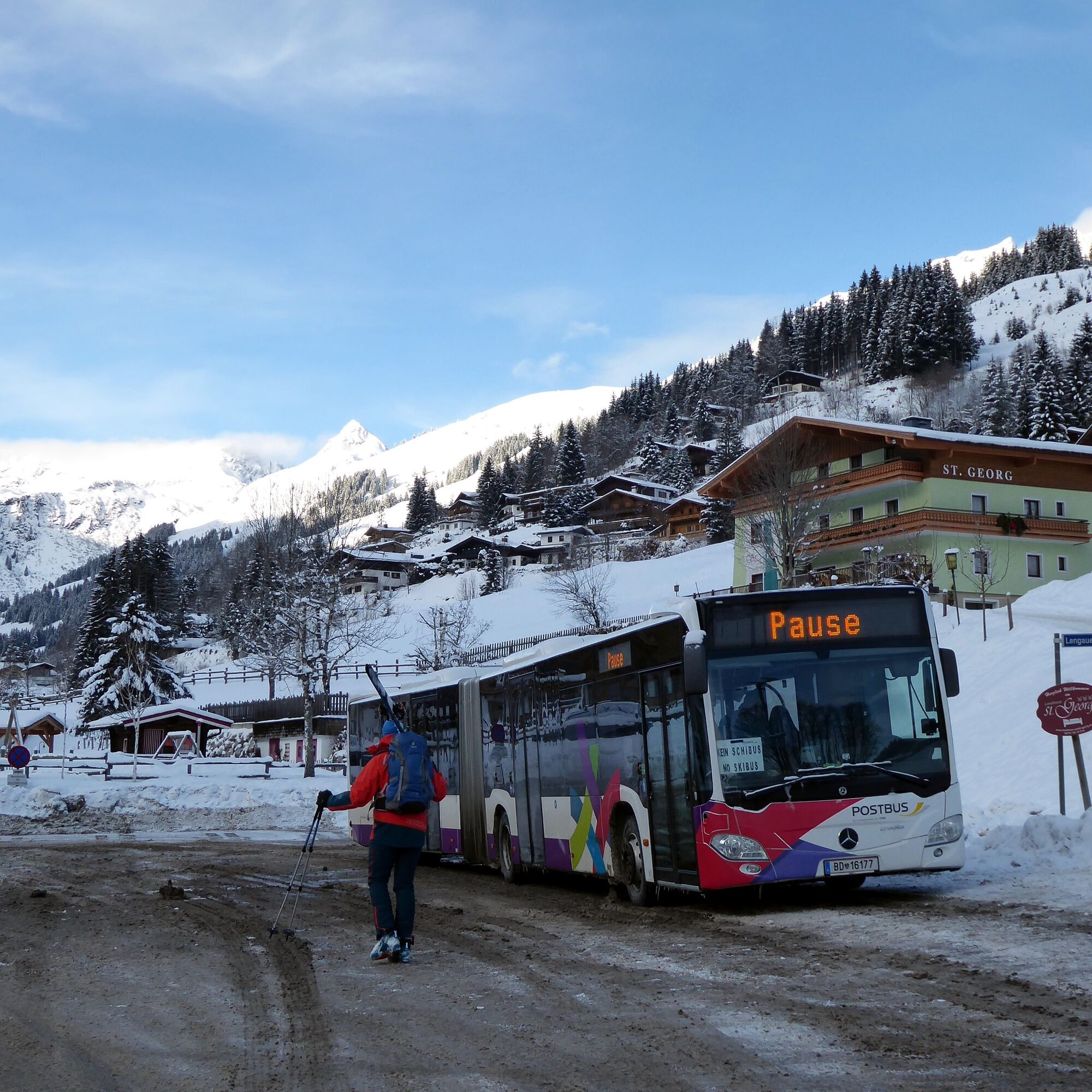

From the Saalbach-Hinterglemm Mitterlengau bus stop (end stop of line 680) it goes again 200 meters along the street downhill and then left uphill to the Biopension Vorderlengau. In the last S-curve before the pension, the ascent to the slope branches off to the right and leads into a steep forest service road in the upper right corner. Then a beautiful slope opens again, at the end of which another service road continues to the right through the forest belt. At a fork, the ascent runs briefly to the left over the ditch, directly afterwards it goes pathless through a steep piece of forest to the alpine meadows behind, at the upper end of which is the Spieleckalm (1,570 m). From there, do not follow the summer path "Spieleckkogel," but instead follow the opposite direction "Sonnhof" for 10 minutes on foot to the signposted junction of the "MB-Tour Hochalm." The track leads through the increasingly thinning forest, then over free, moderately steep slopes in a northwesterly direction to the southern ridge and along this further to the summit. Descent as ascent.
Áno
Information on weather and avalanche conditions at www.lawine.salzburg.at
By train or bus to Zell am See station or by bus 260 from Salzburg station (Engelbert Weiß Weg) to Maishofen junction Glemmtal. Then continue by bus 680 to Hinterglemm Mitterlengau.
Timetable information and download: online at www.salzburg-verkehr.at or on your smartphone via the free Salzburg Verkehr app for Android and iOS.
Mag. Christian Heugl
5400 Hallein
Photo credit: Christian Heugl
Route weekend in the Glemmtal valley end. For example, good value for money at the optimally located Biopension Vorderlengau (www.vorderlengau.com).
Webové kamery z prehliadky
Získajte prehľad
Vždy naživo na mieste s viac ako 9 500 webovými kamerami. bergfex Ako používateľ Pro si teraz môžete pozrieť príslušné webové kamery pre mnohé zájazdy v aplikácii zájazdy z. Môžete si tak priamo prezerať aktuálne podmienky.
Obľúbené výlety v okolí
-
4,8
Streif Wanderweg
strednáTuristika 5,73 km -
4,5
Kitzbüheler Horn über Horn-Gipfel-Höhenweg
strednáTematická trasa 5,30 km -
4,1
Maurerkogel (Top)
Turistika 10,5 km -
4,0
Berg der Sinne
svetloTuristika 4,39 km -
4,9
Panorama route 3 peaks and 2 lakes
strednáTuristika 7,21 km -
5,0
Leo’s play hiking trail
svetloTematická trasa 4,89 km -
4,7
Tristkogel
ťažkéTuristika 15,6 km -
4,5
Kitz Bhf- Kitzbühler Horn und zurück zum Alpenhaus
strednáTuristika 11,8 km -
4,9
Manlitzkogel
ťažkéTuristika 13,4 km -
4,0
Mittersill: ski tour Sonnalm
strednáSkitour 4,87 km
Turistika a stopovanie


Nenechajte si ujsť ponuky a inšpiráciu na ďalšiu dovolenku
Vaša e-mailová adresa bol pridaný do poštového zoznamu.





