






Hirschwandsteig route | Trail running route 12
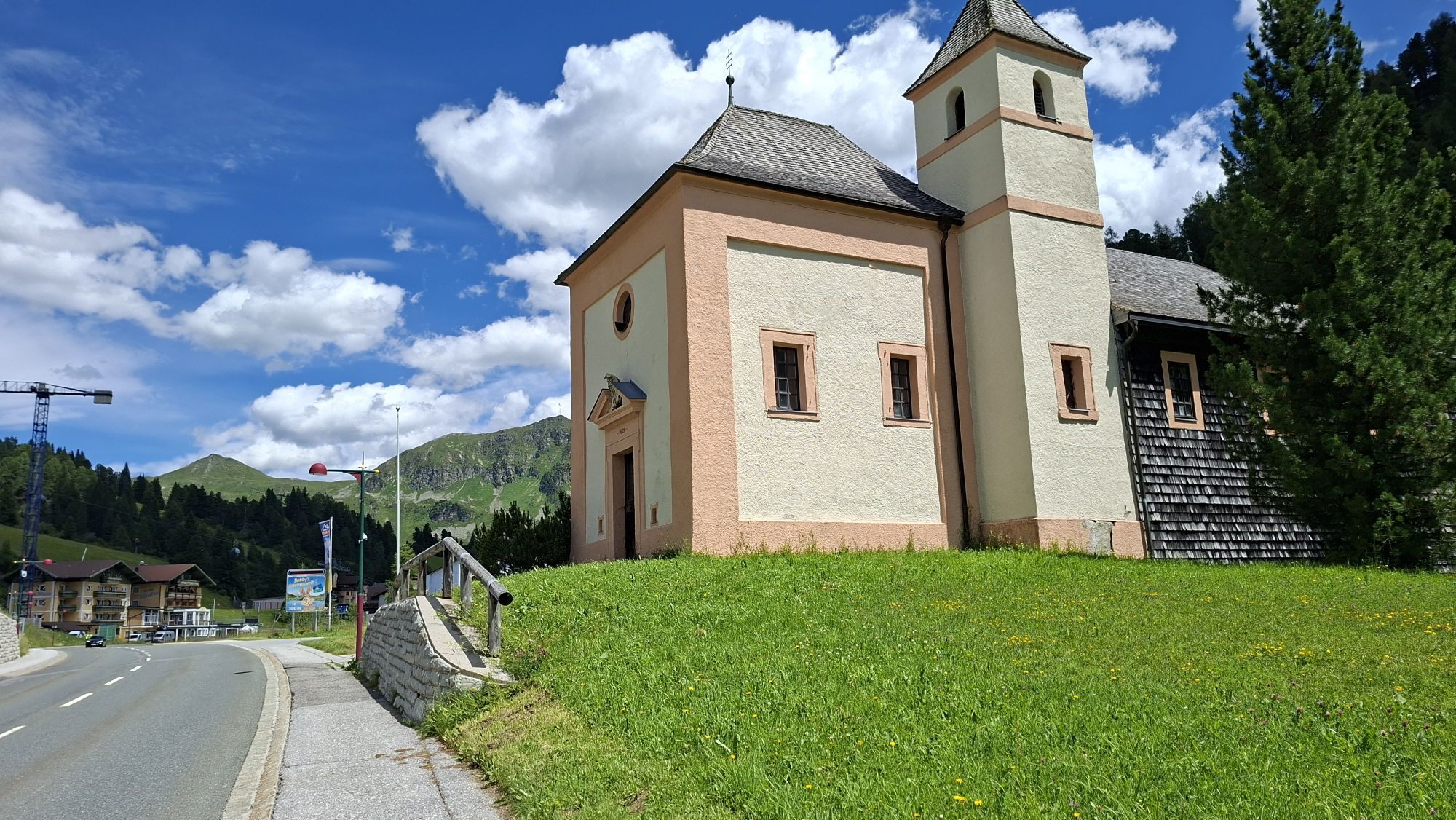
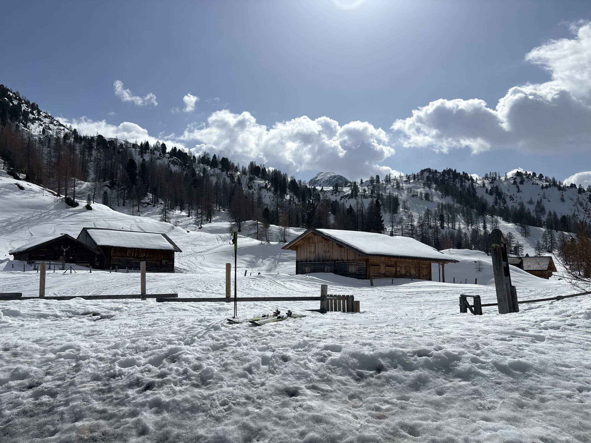
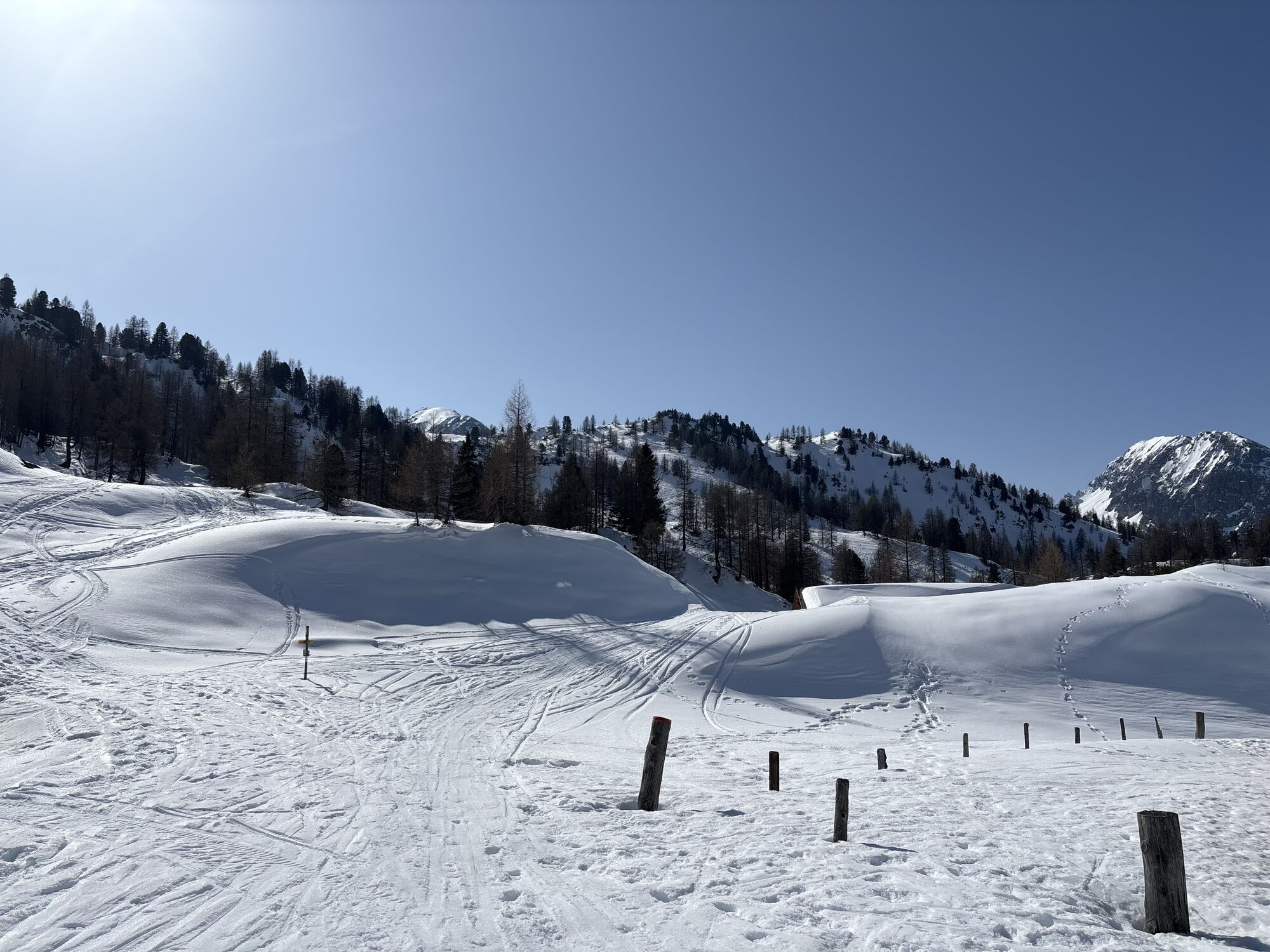
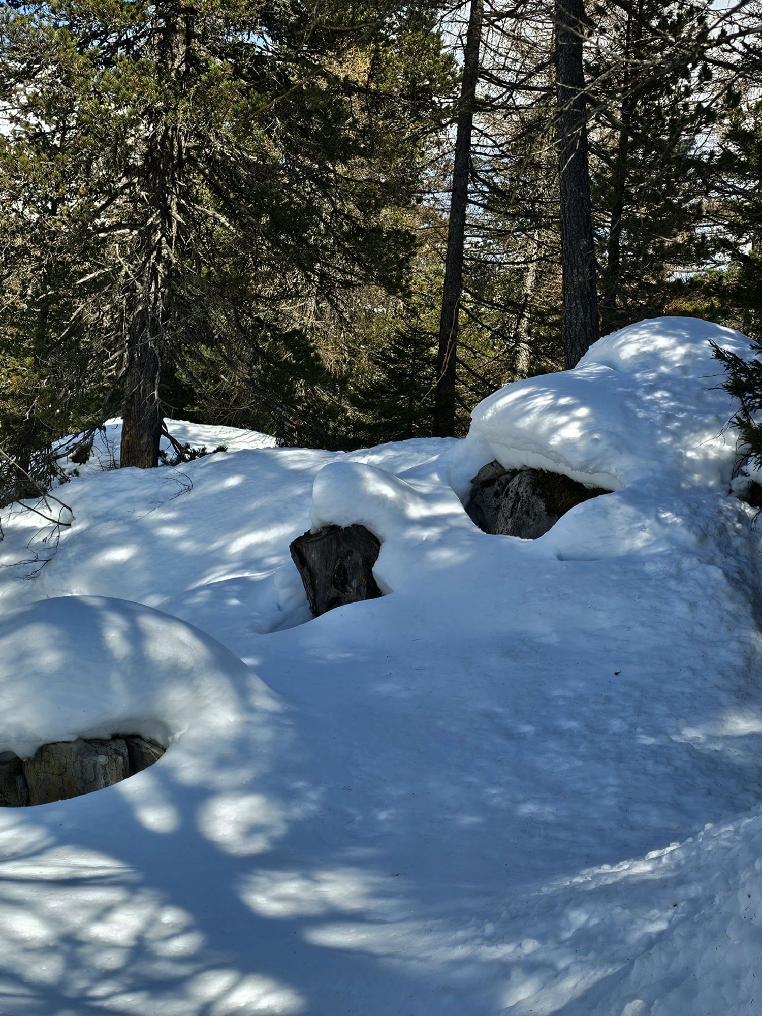
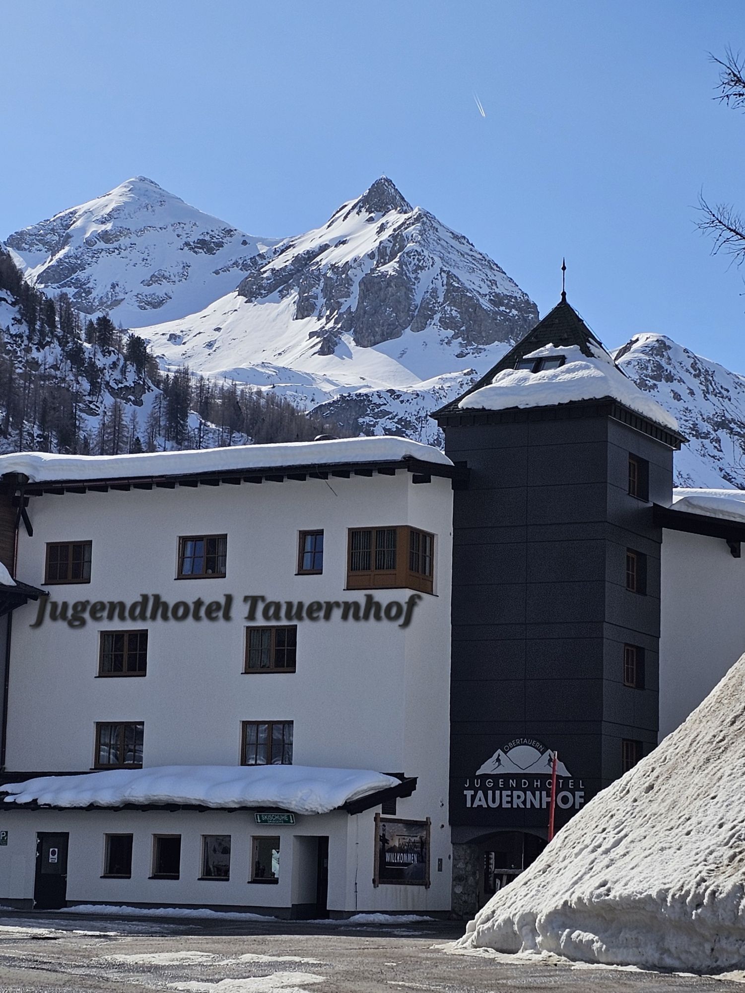
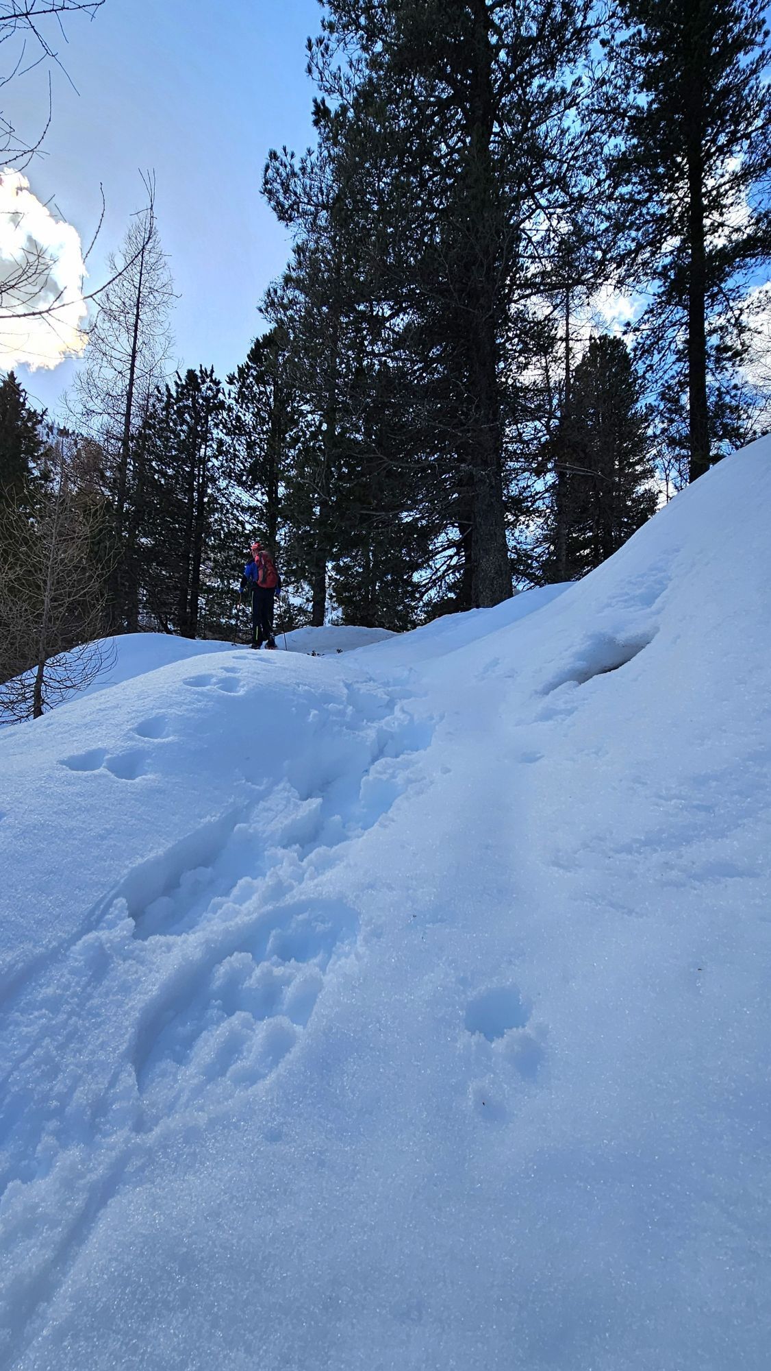
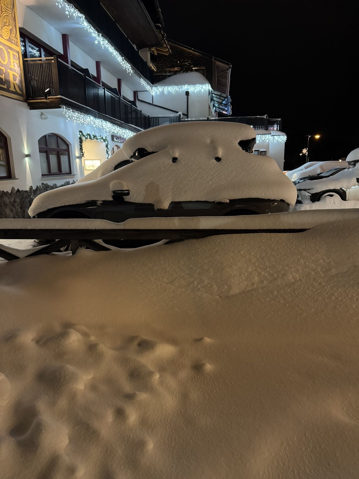
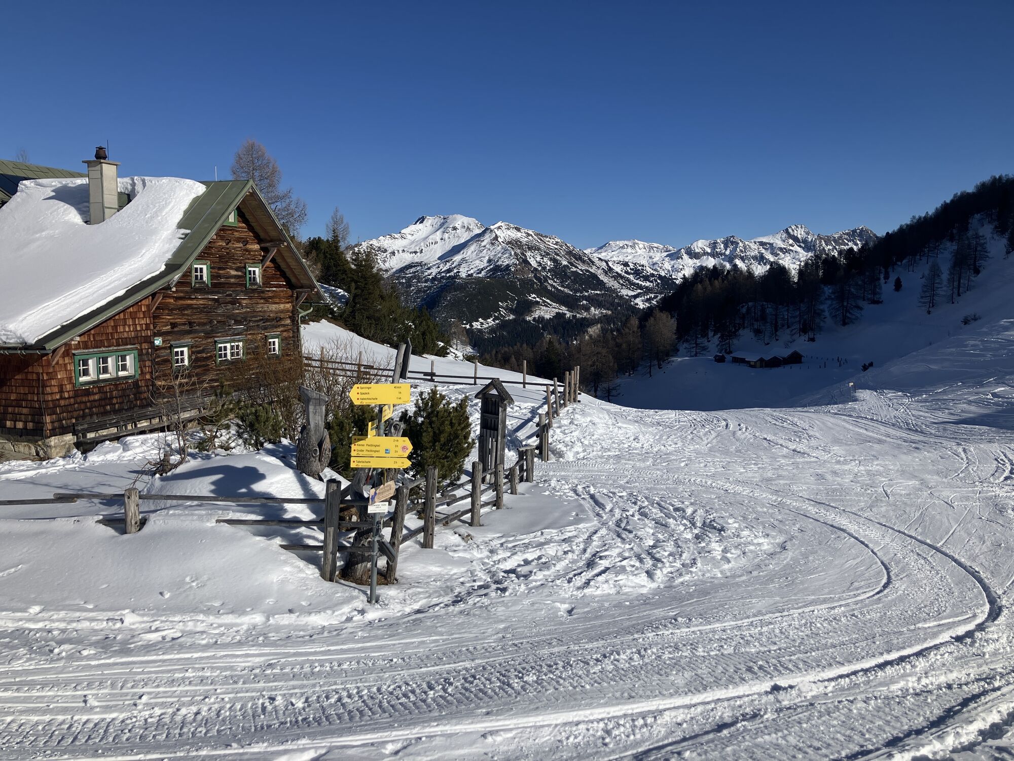
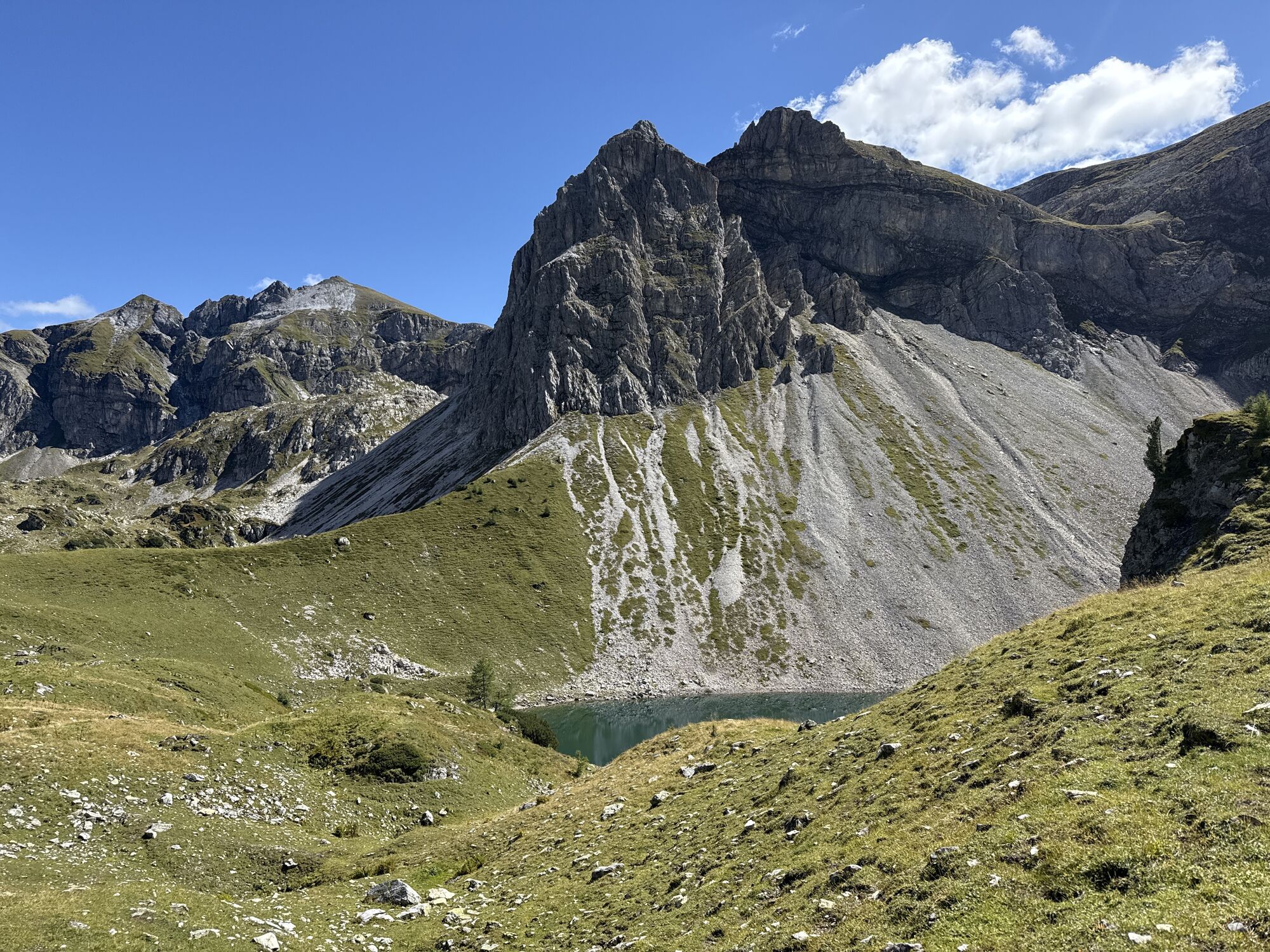
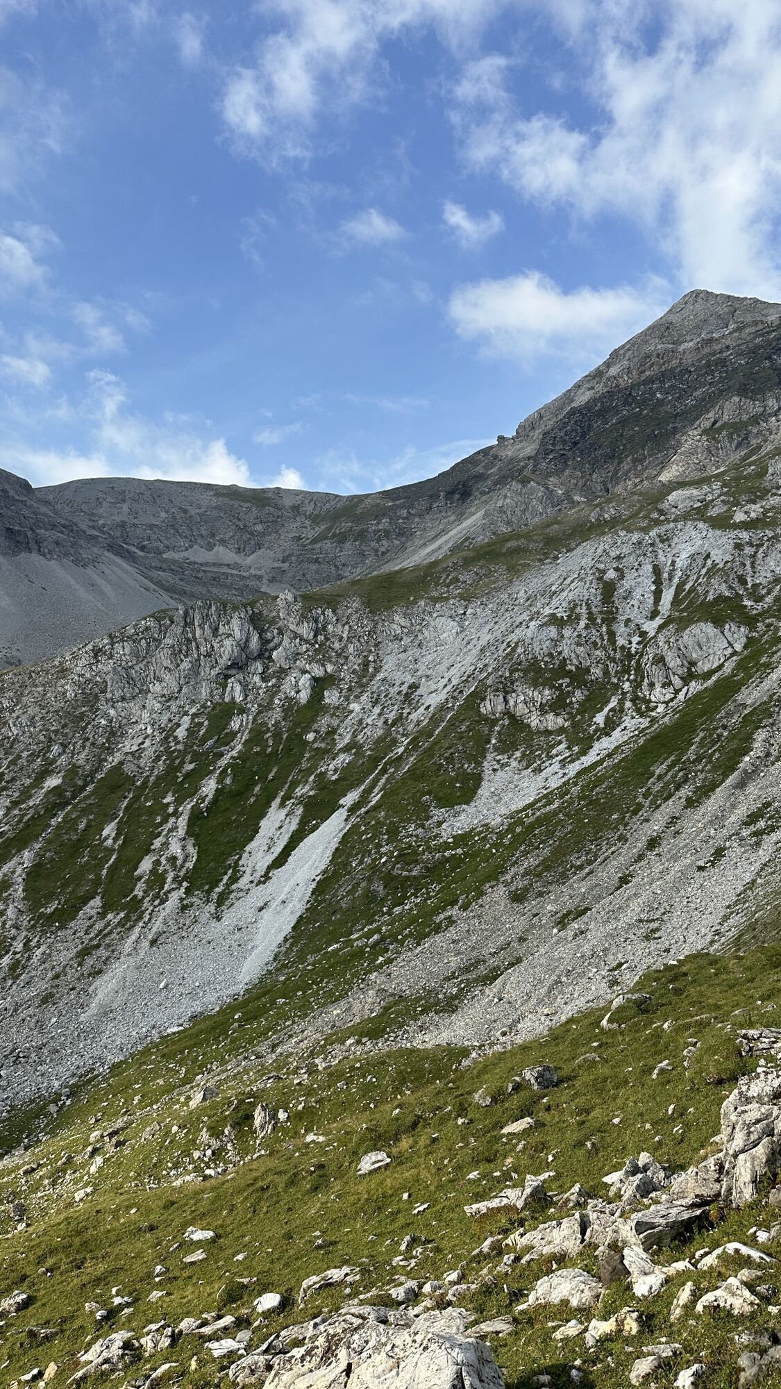
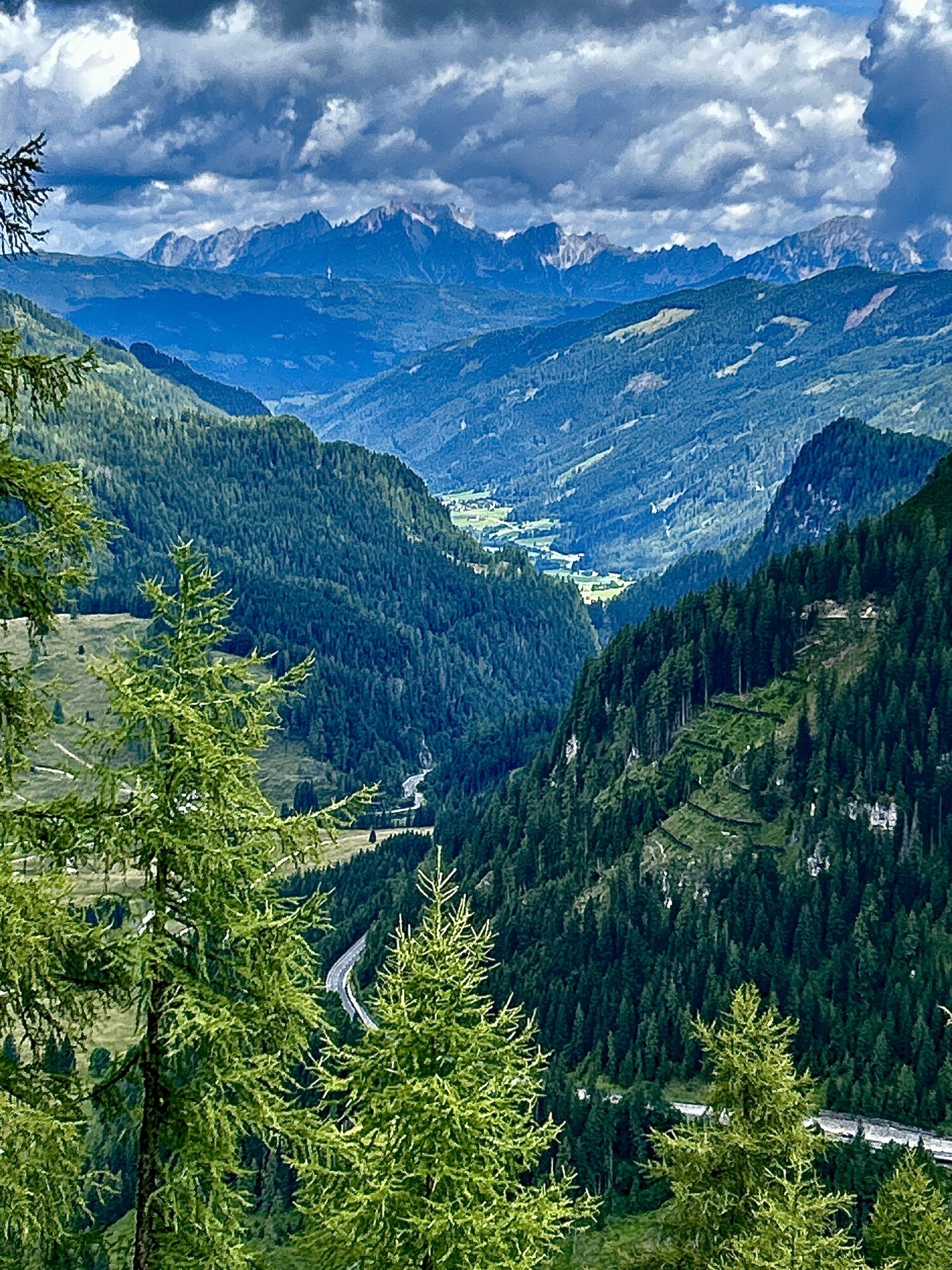
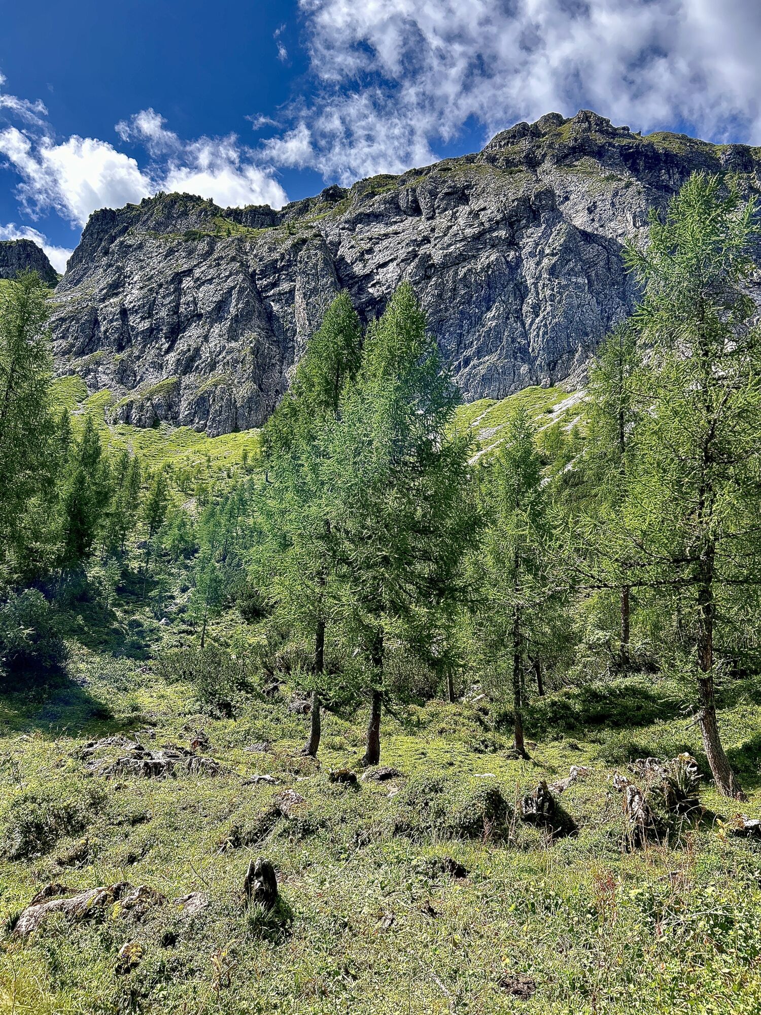
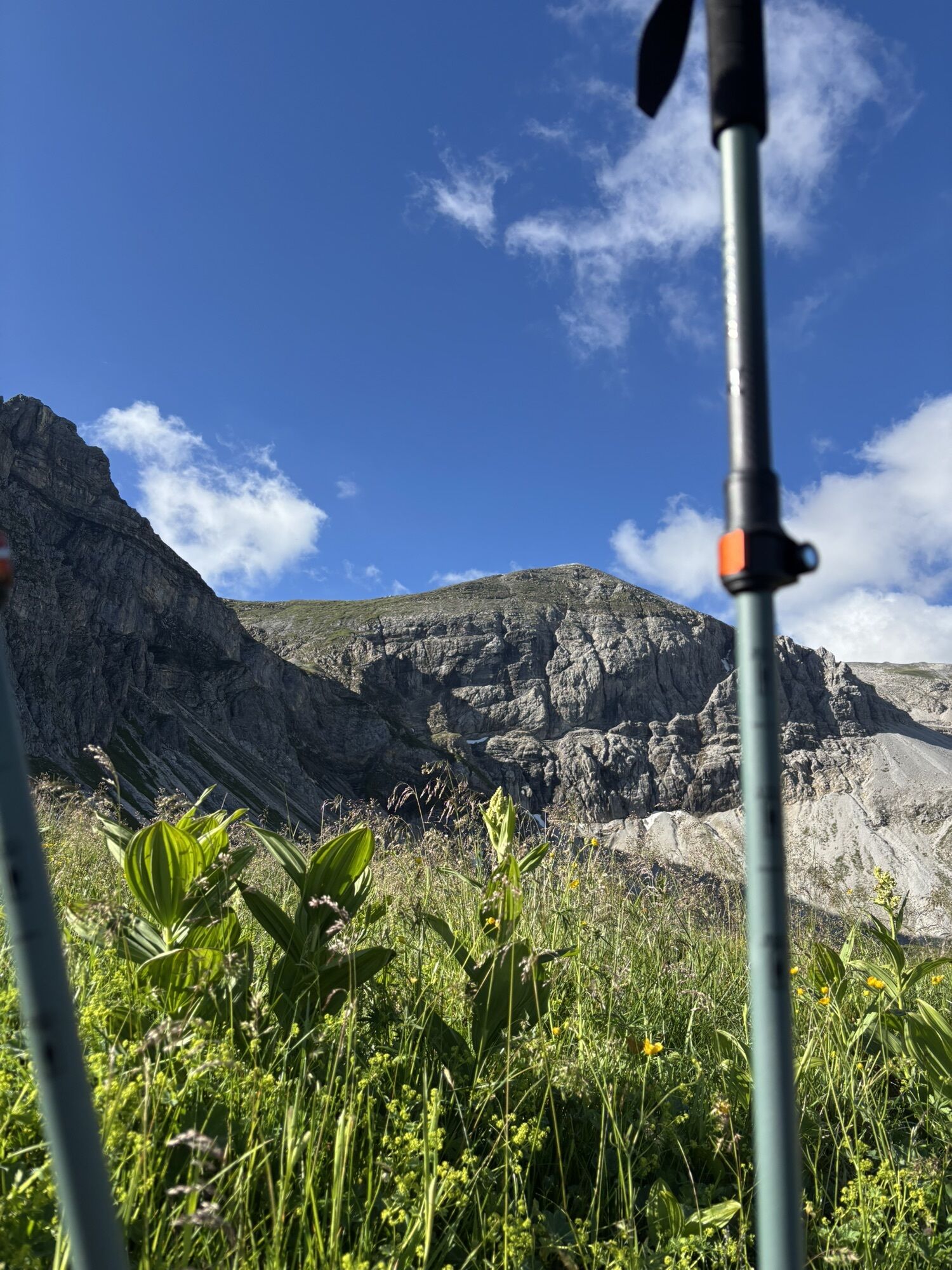
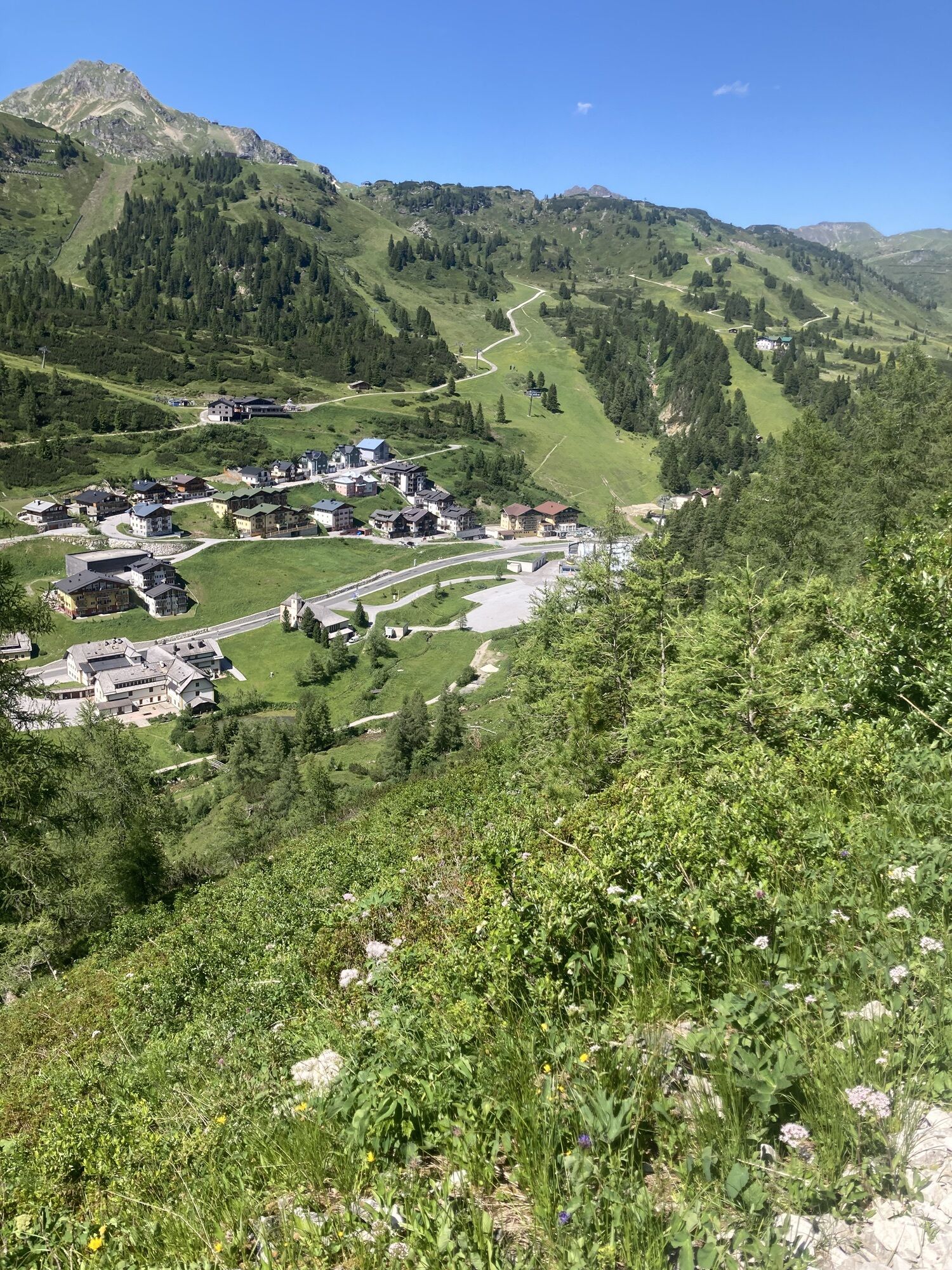
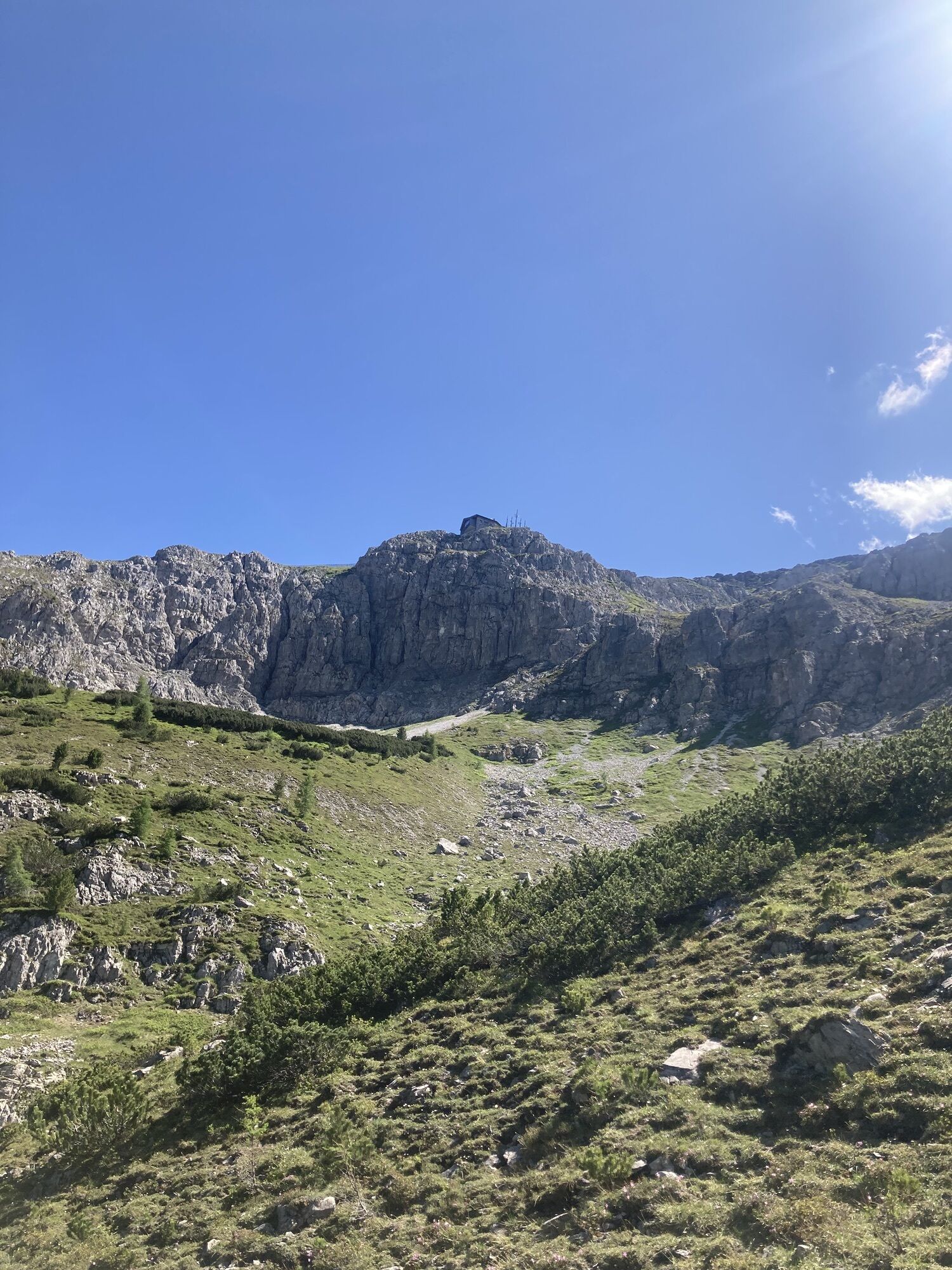
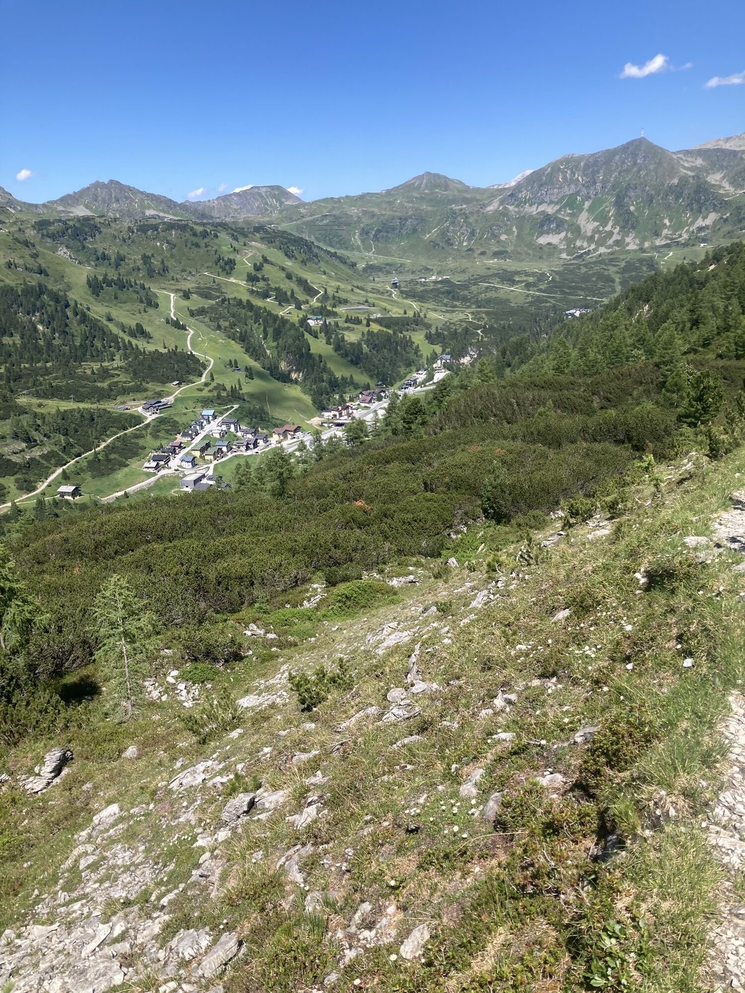
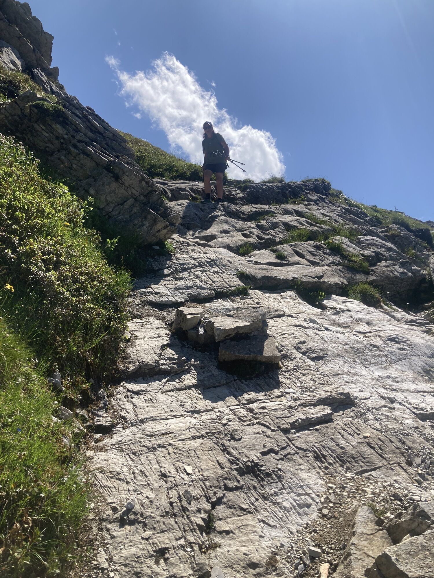
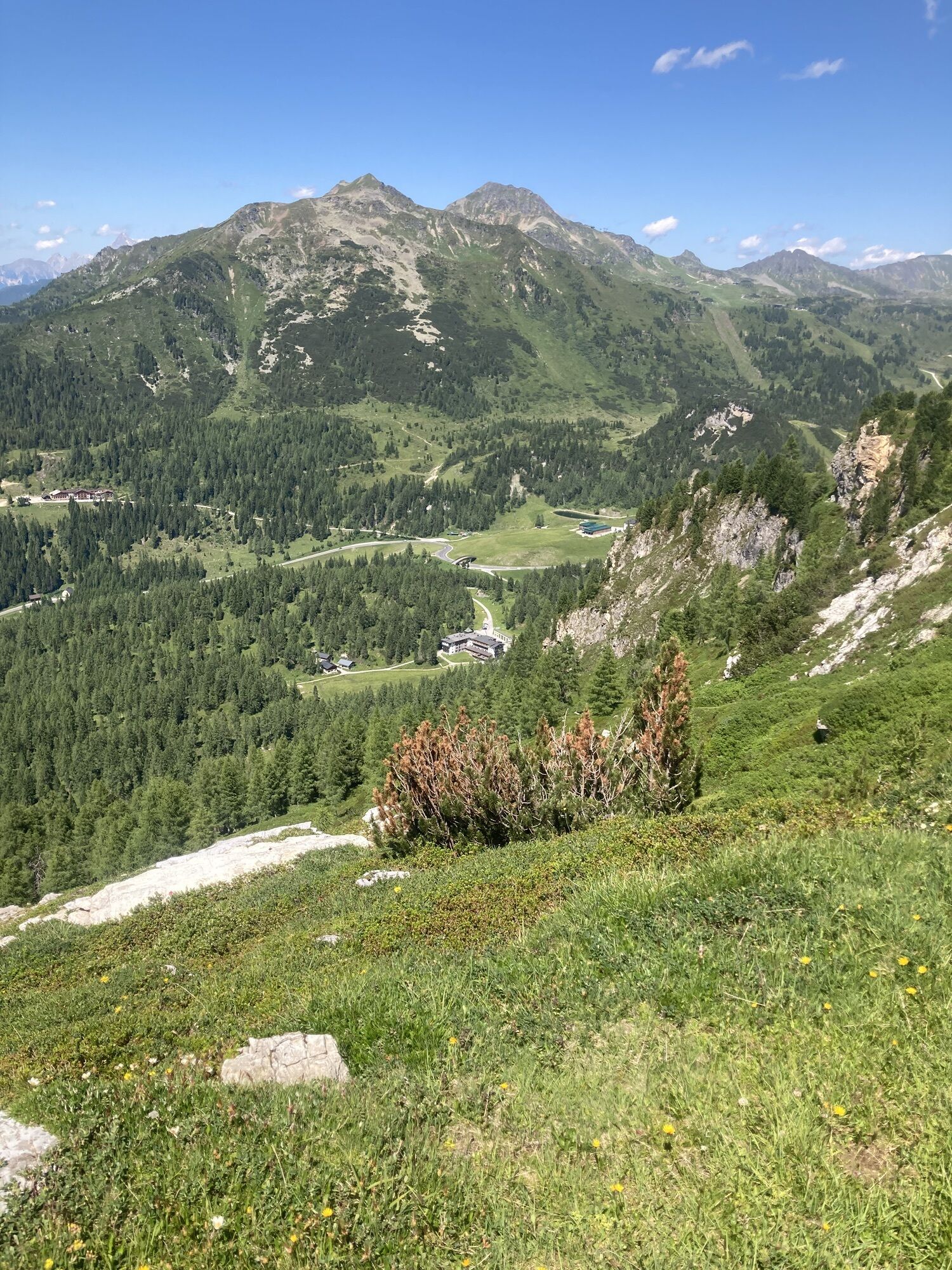

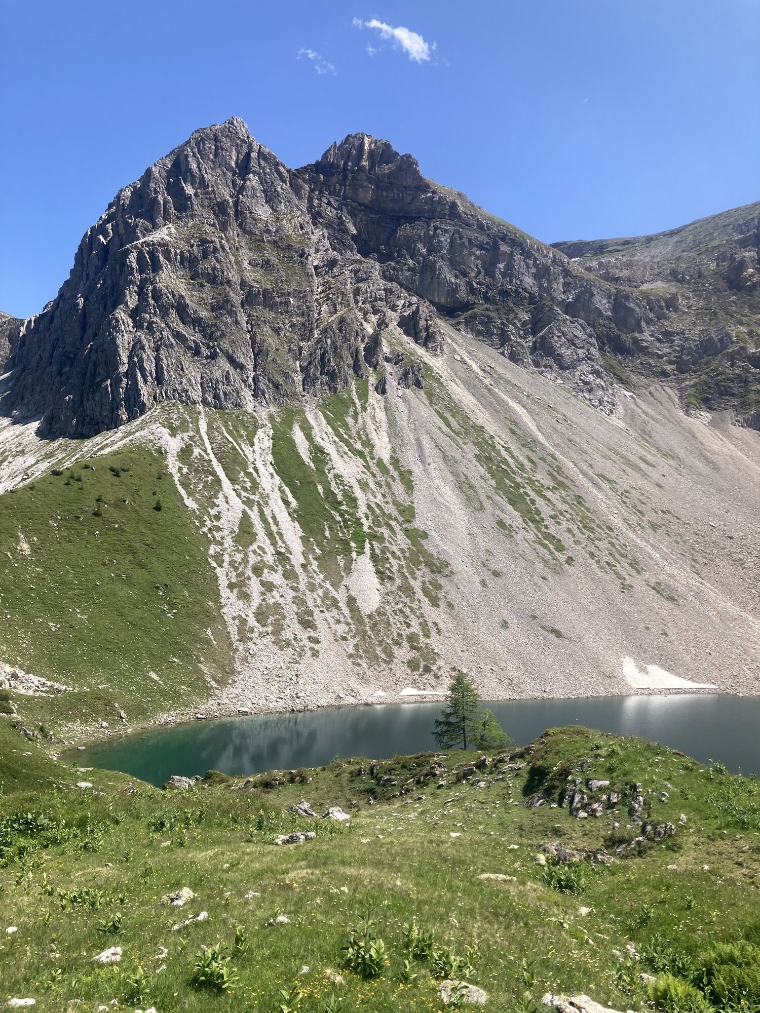
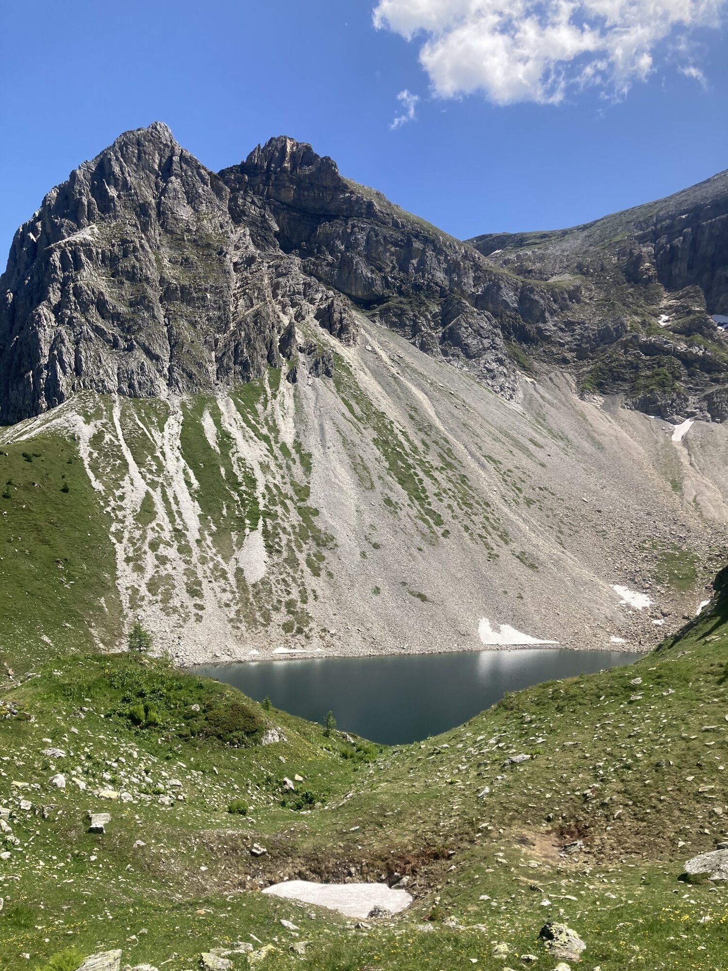
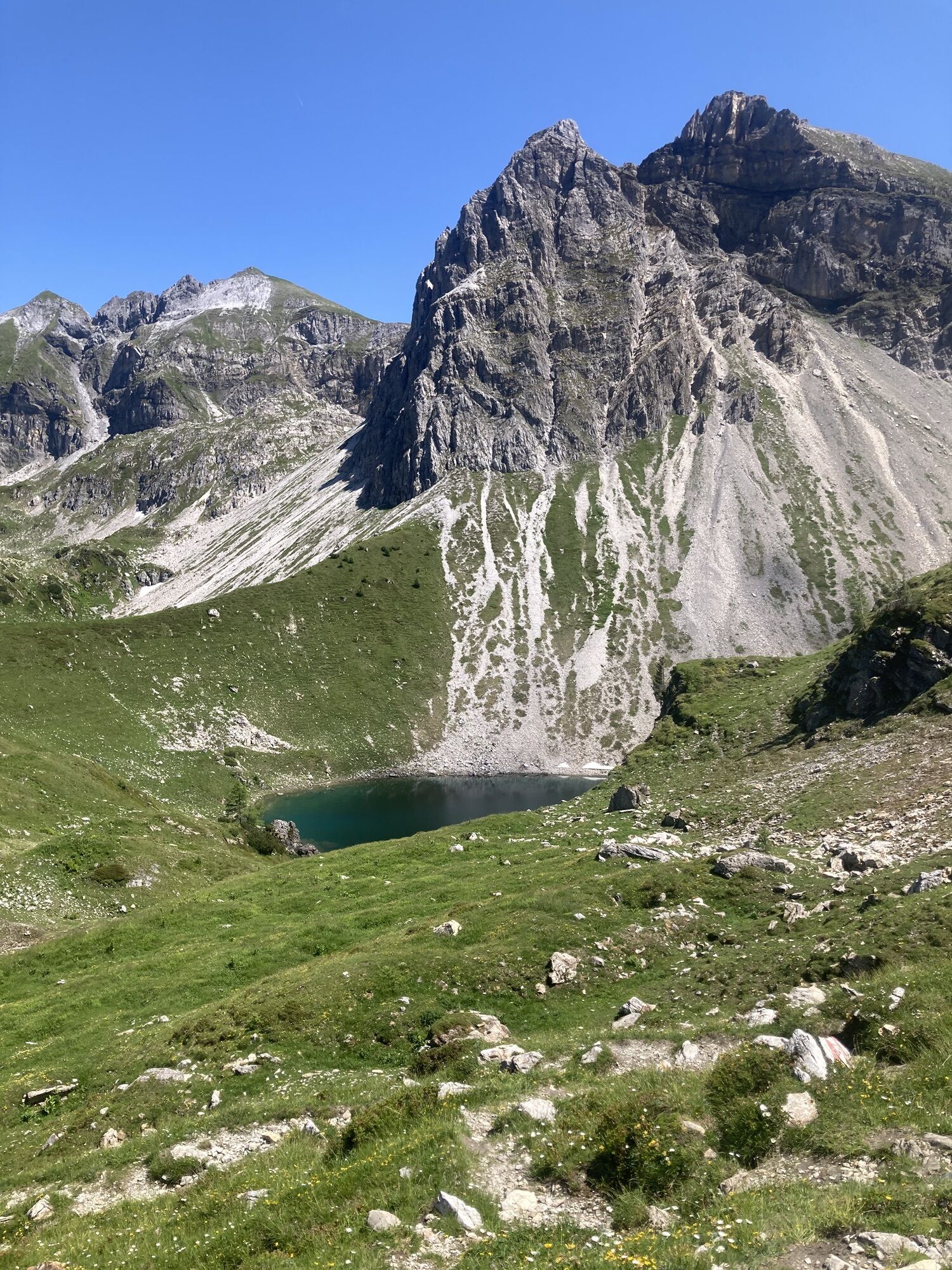
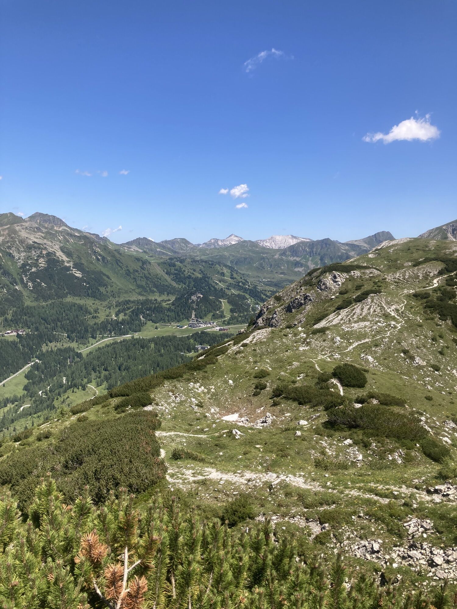
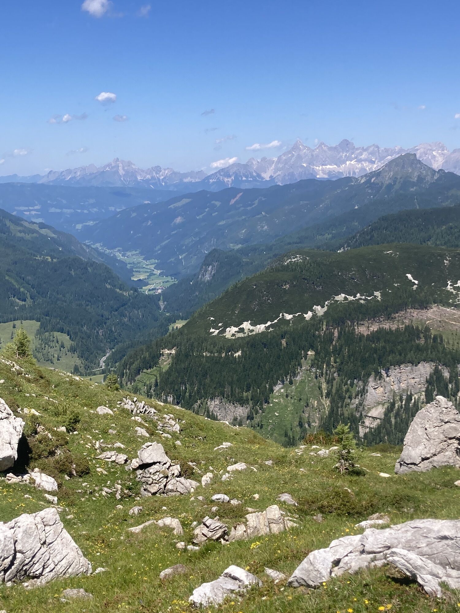
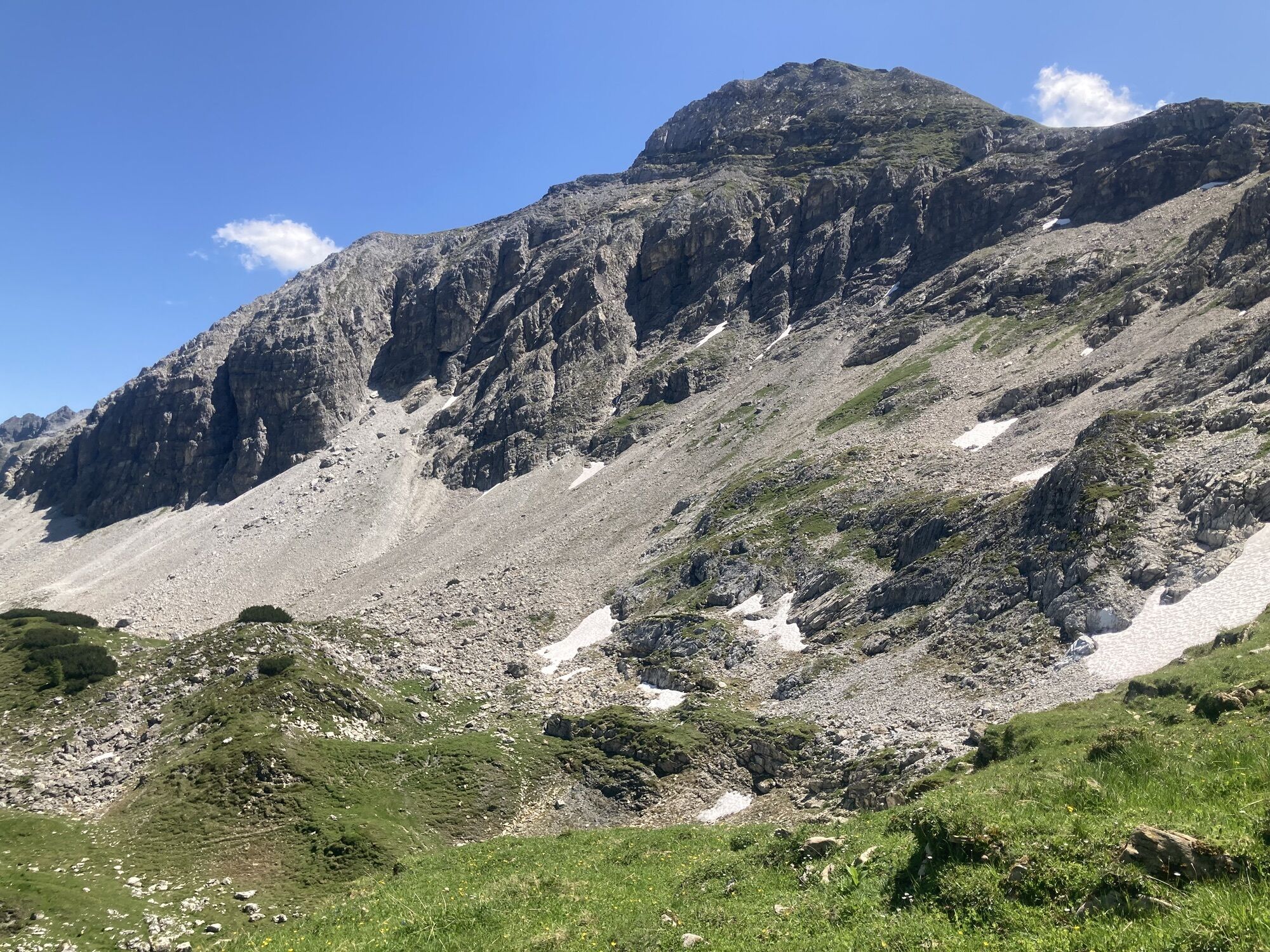
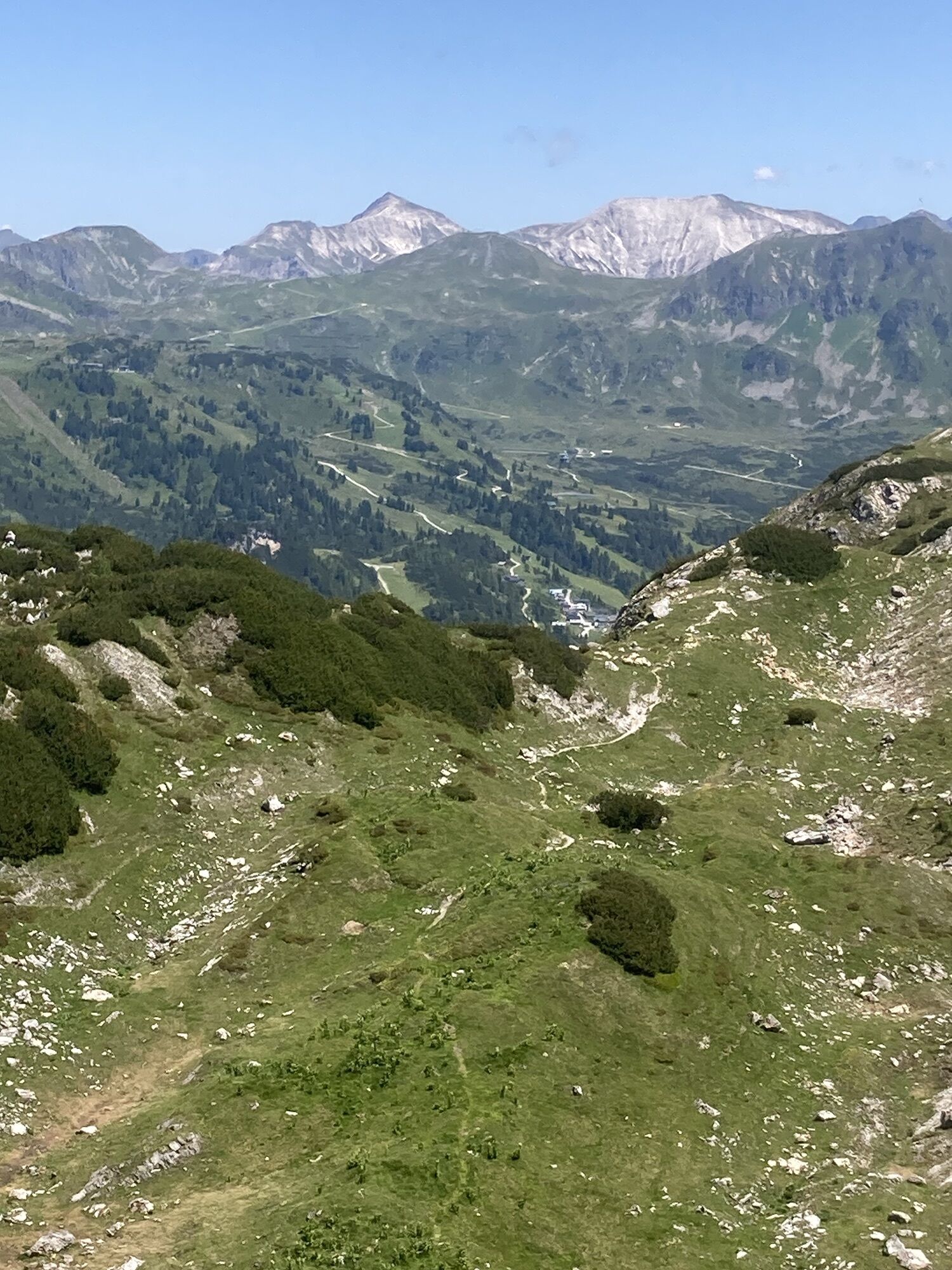
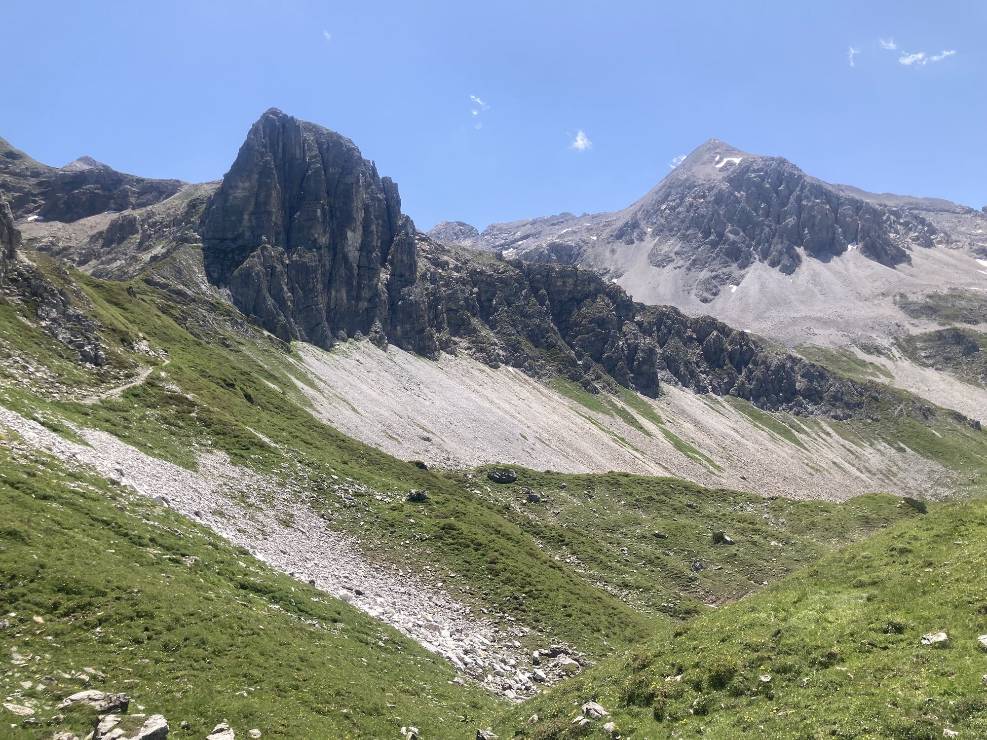
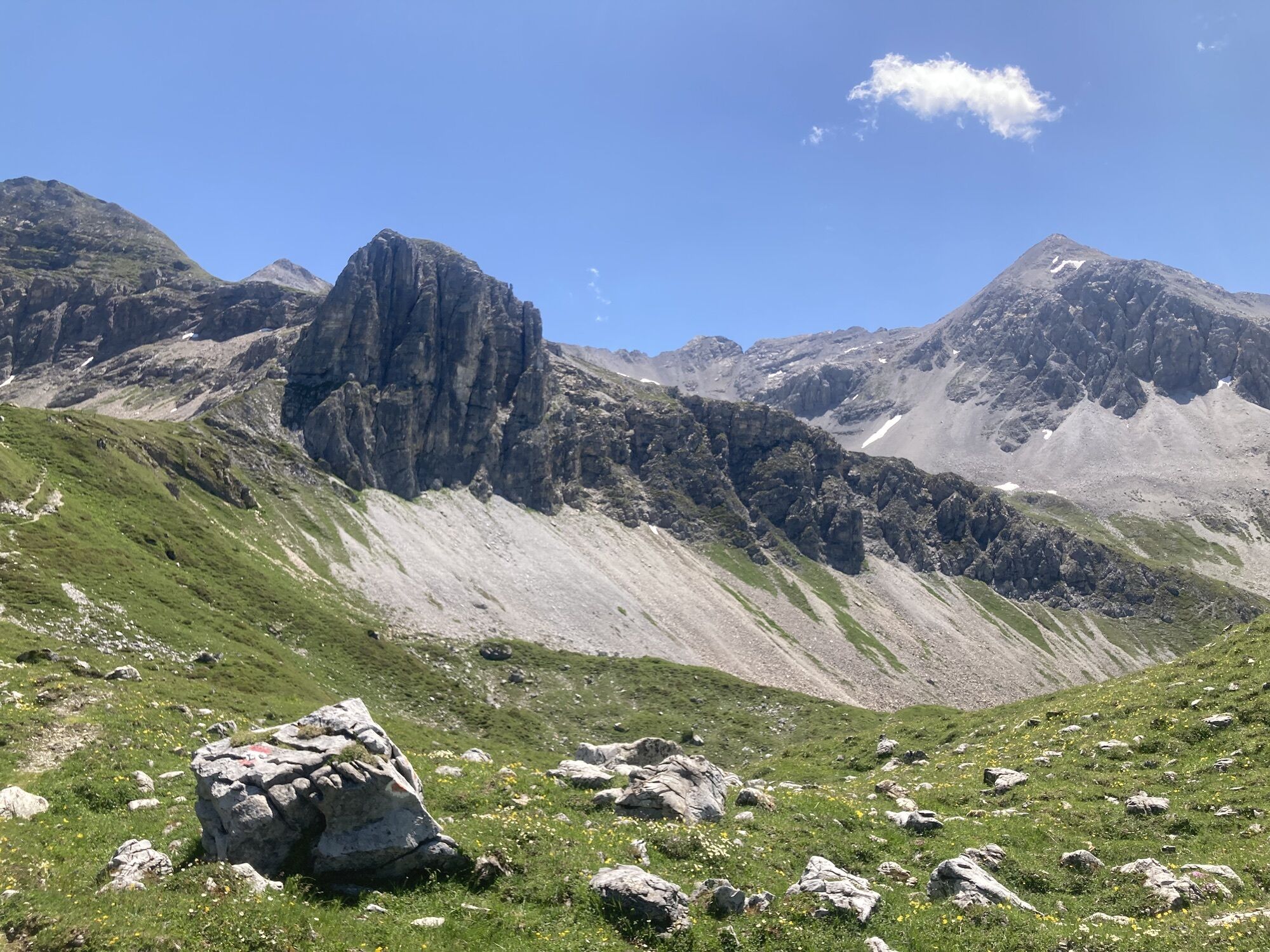
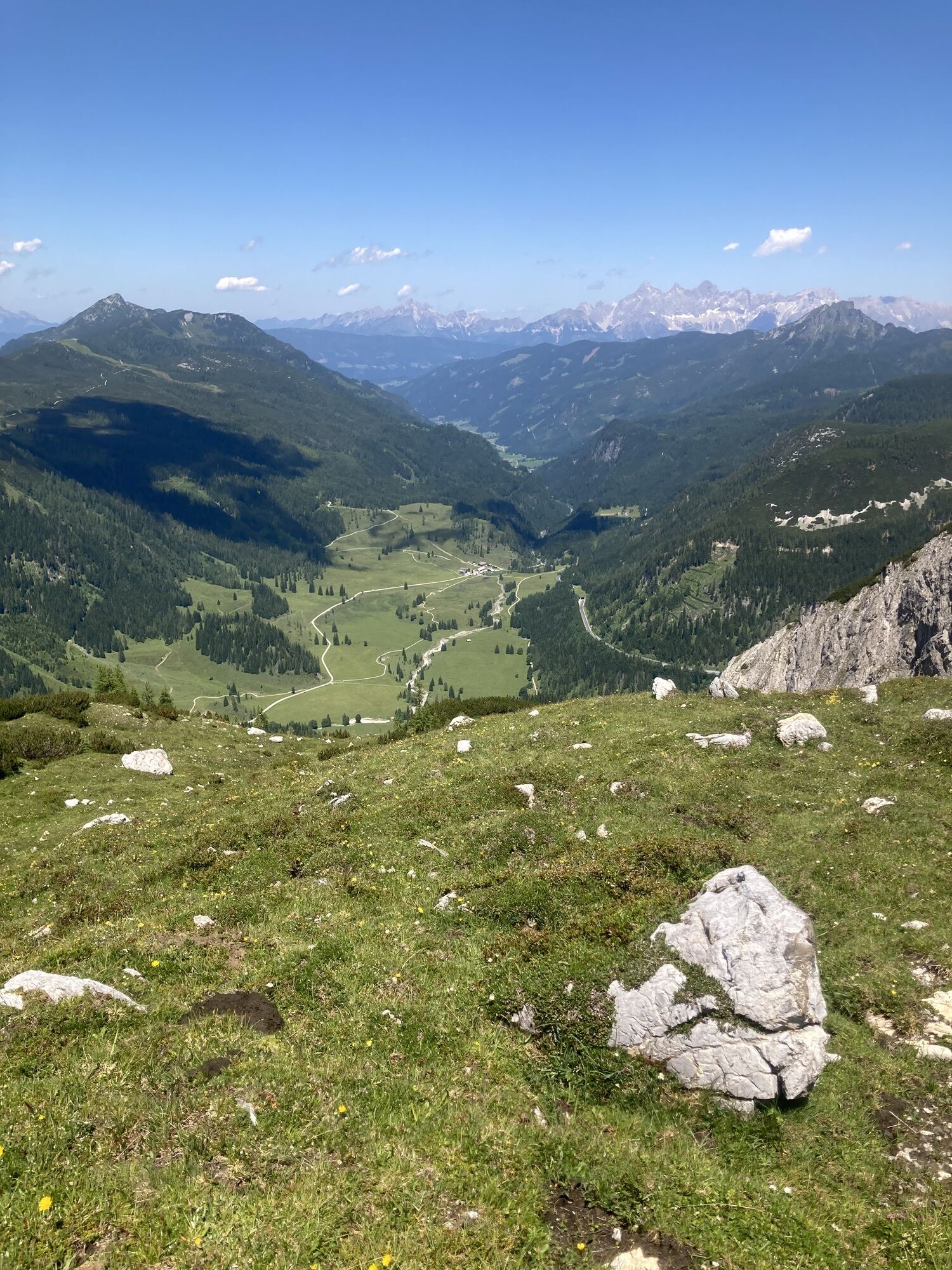
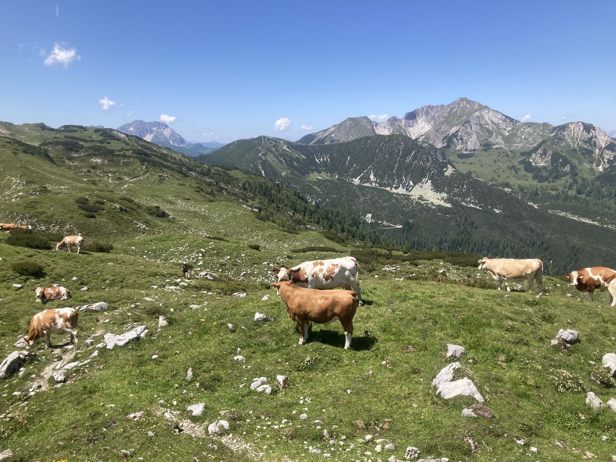
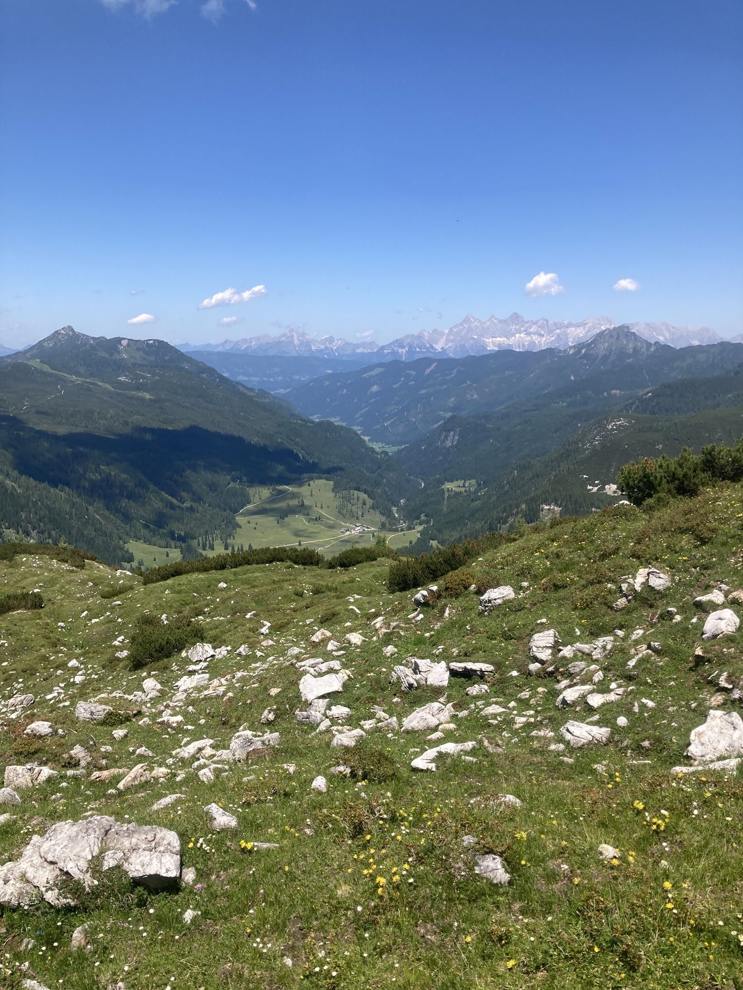
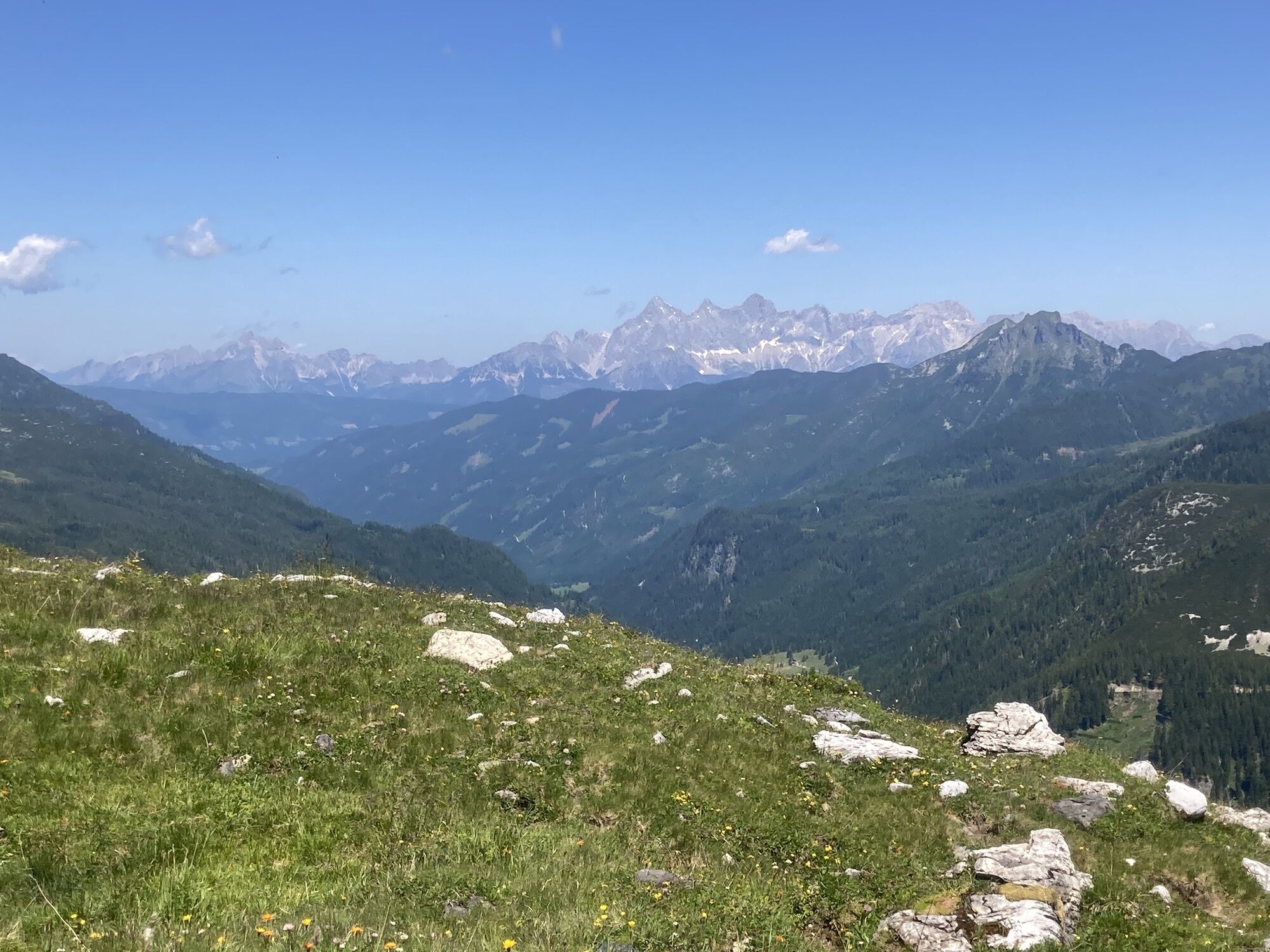
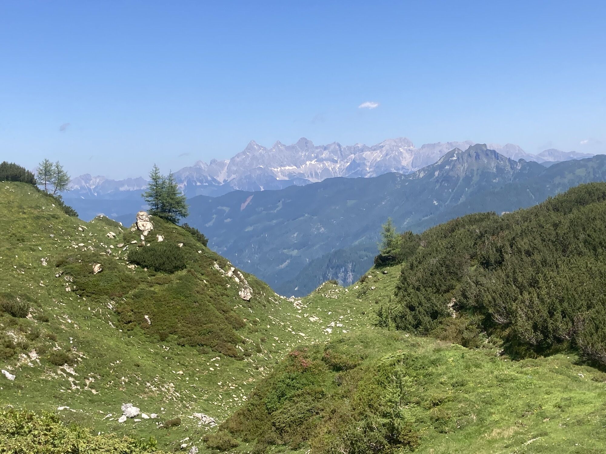
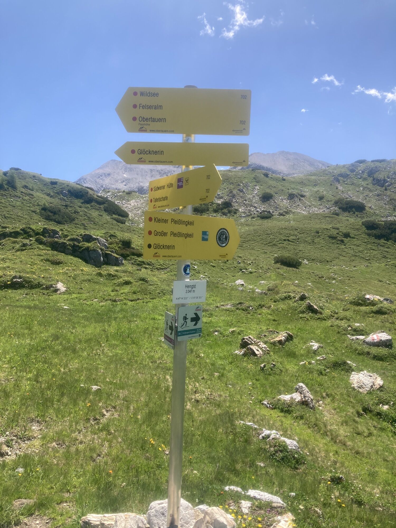
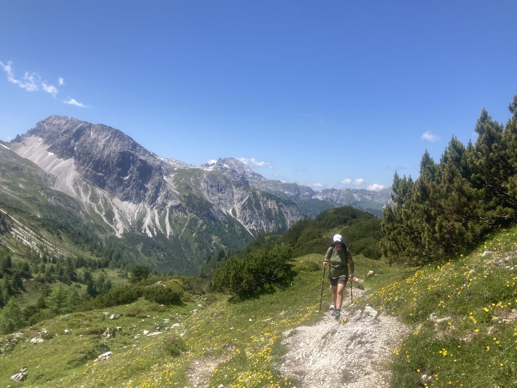
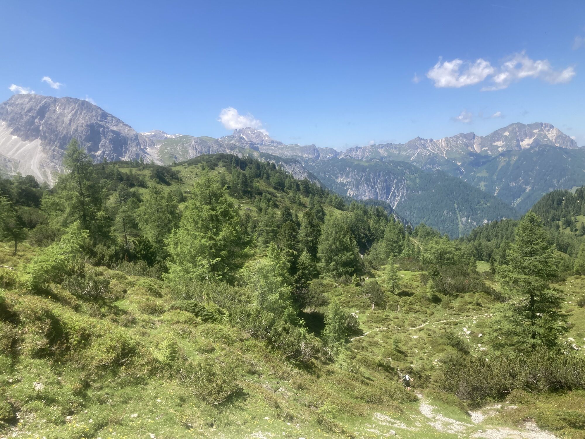
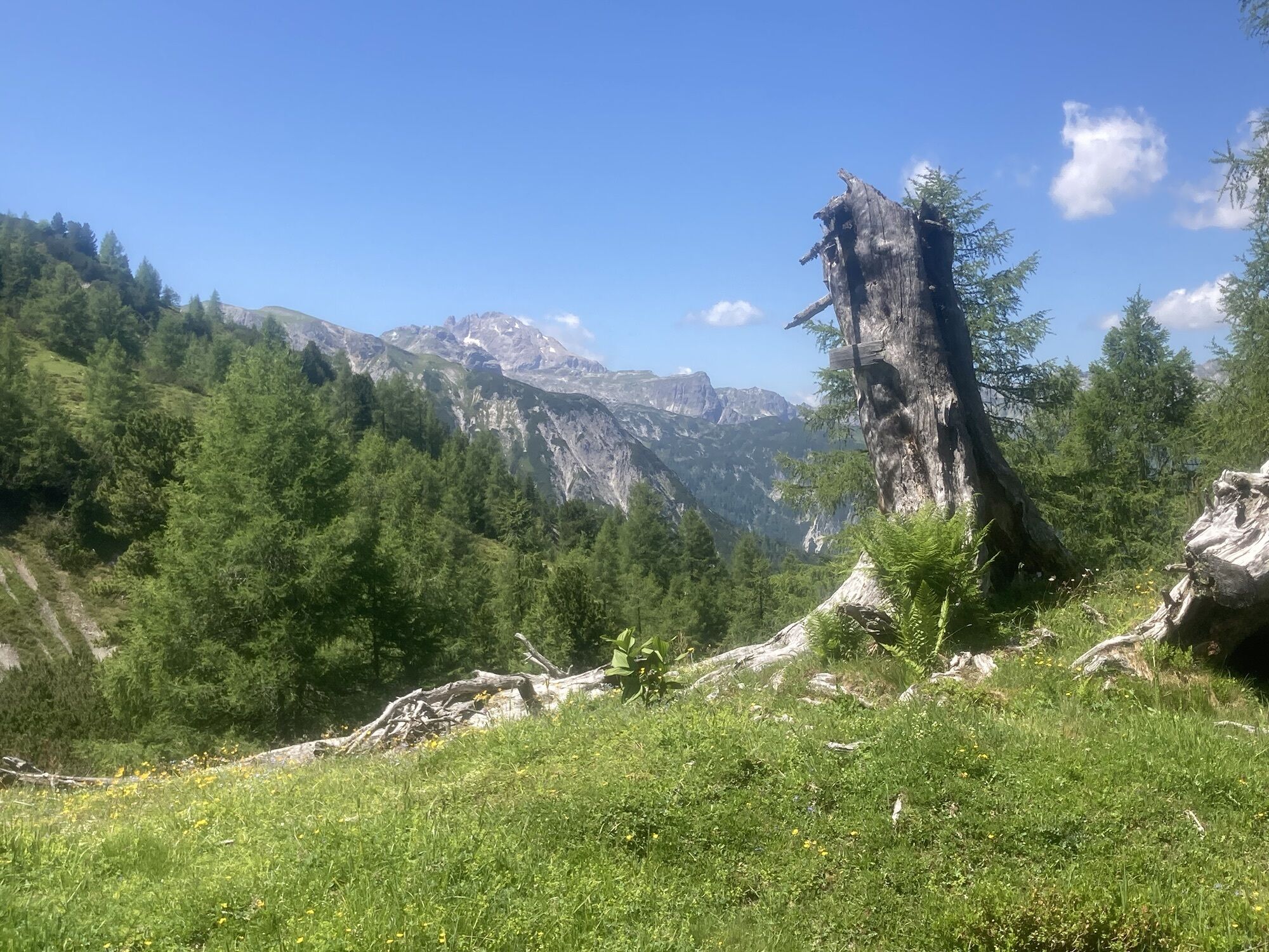
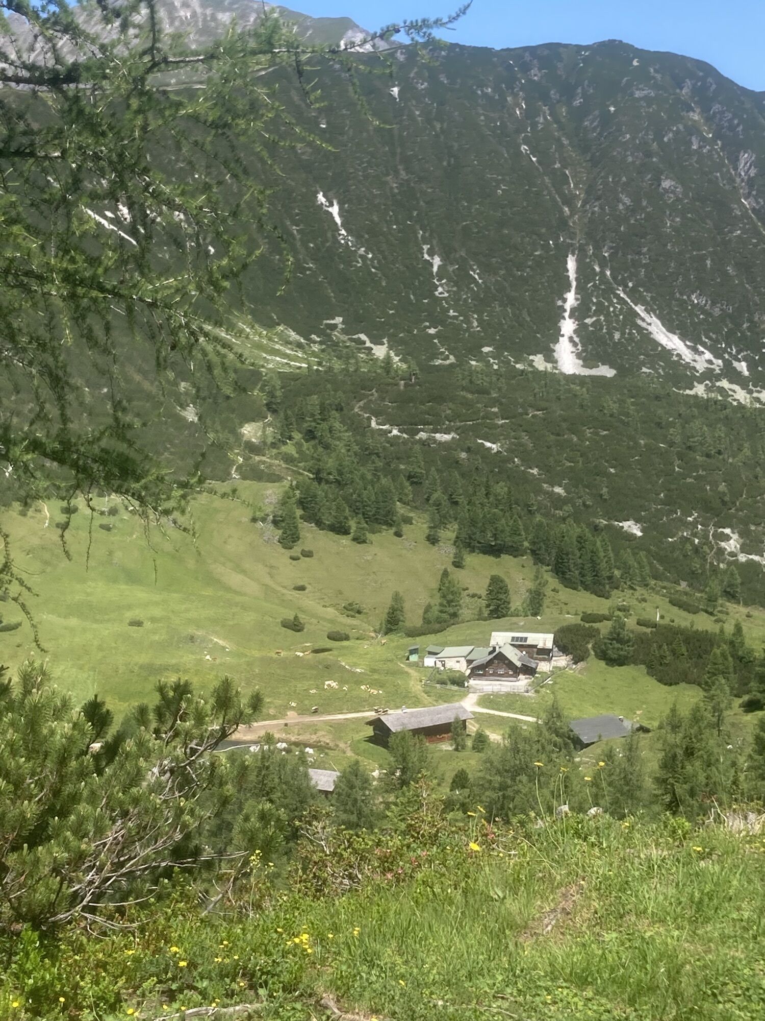

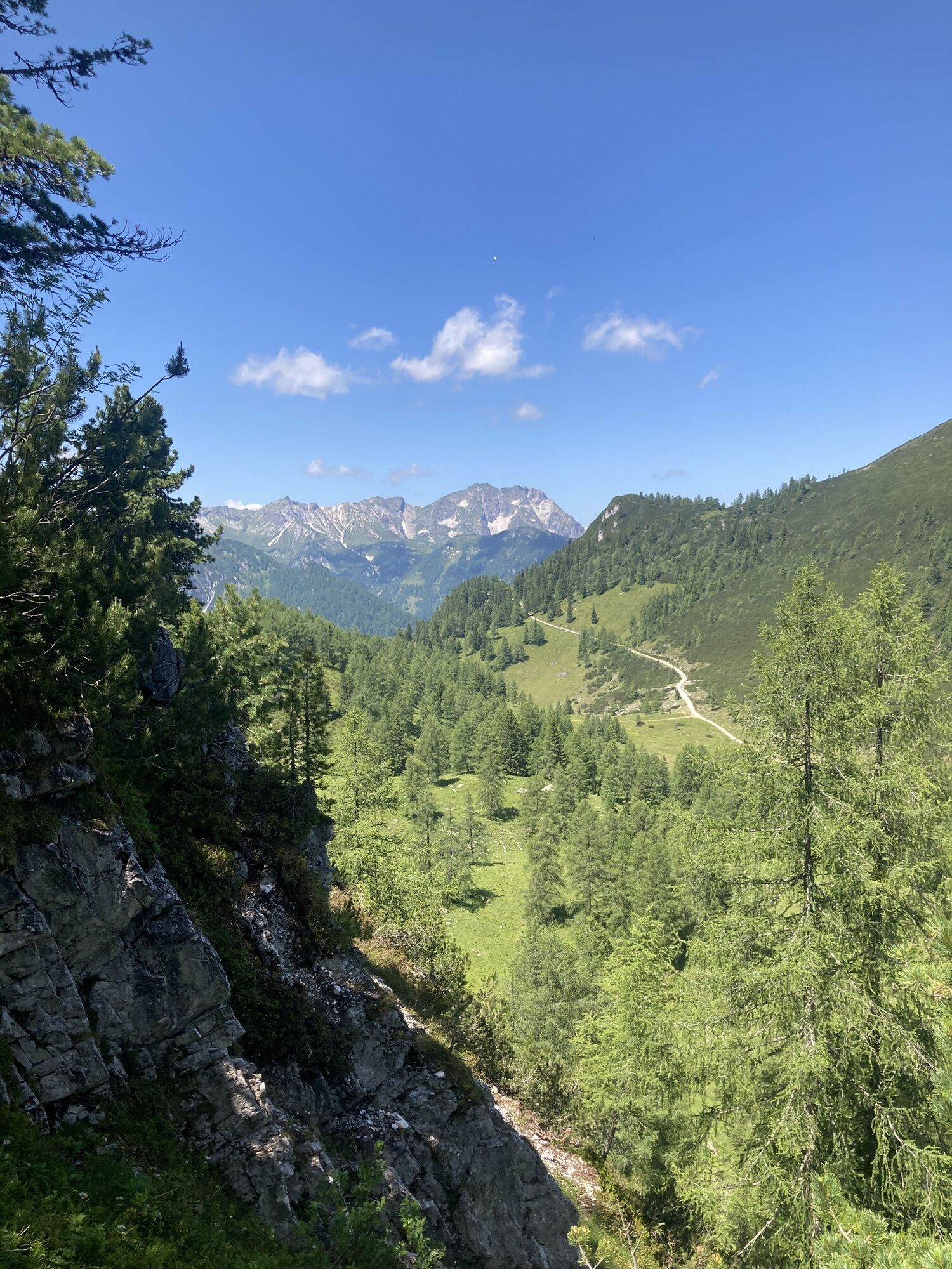
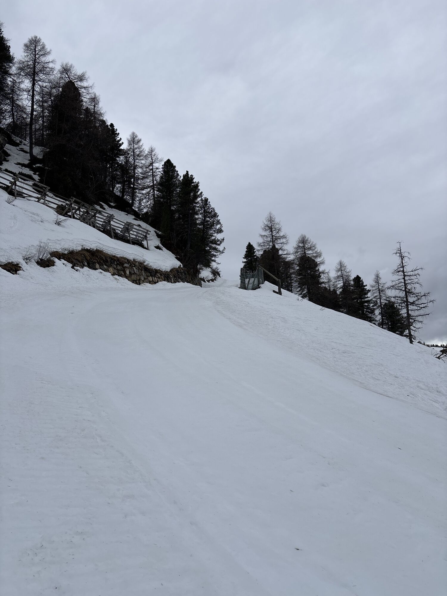

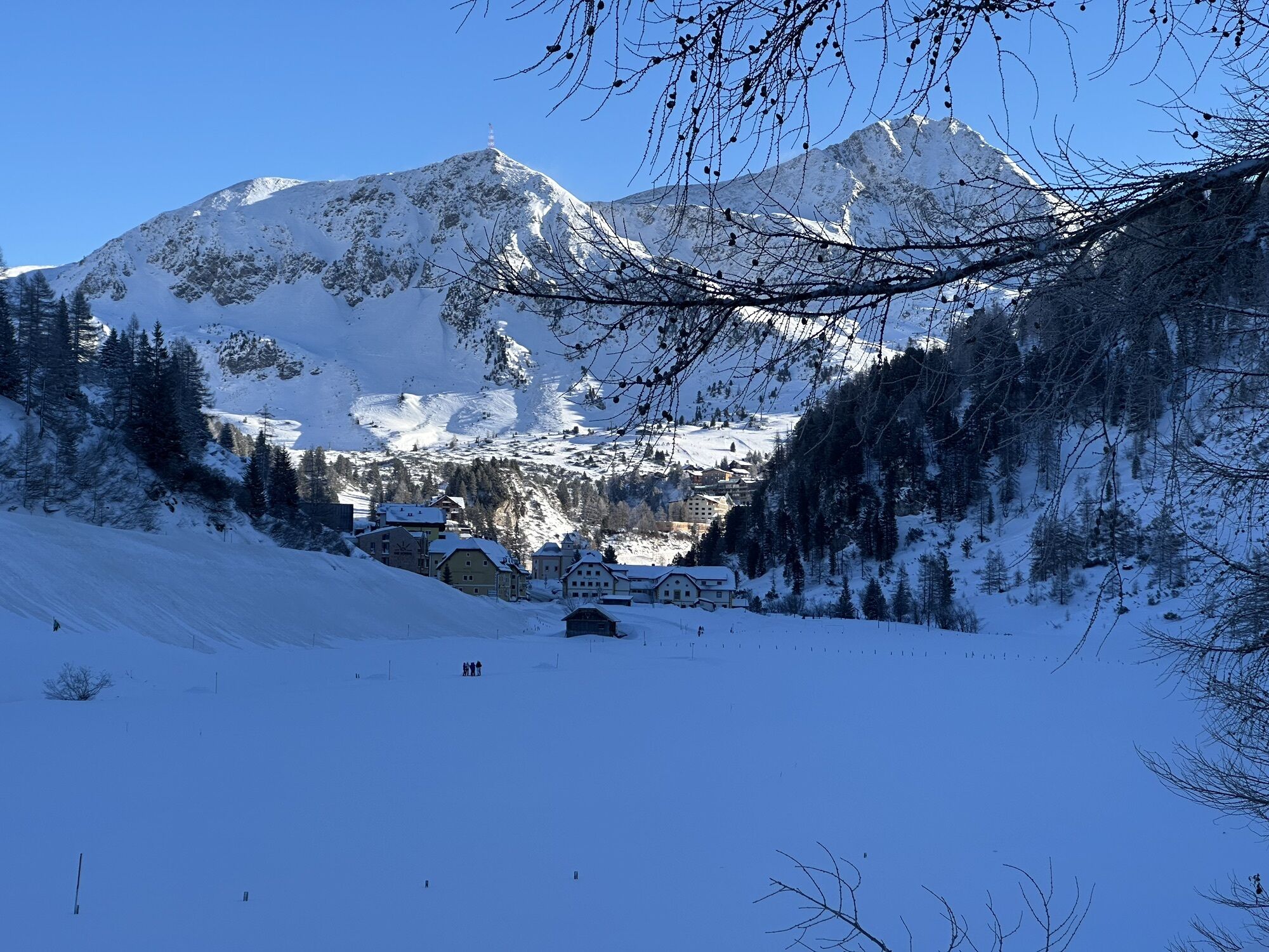

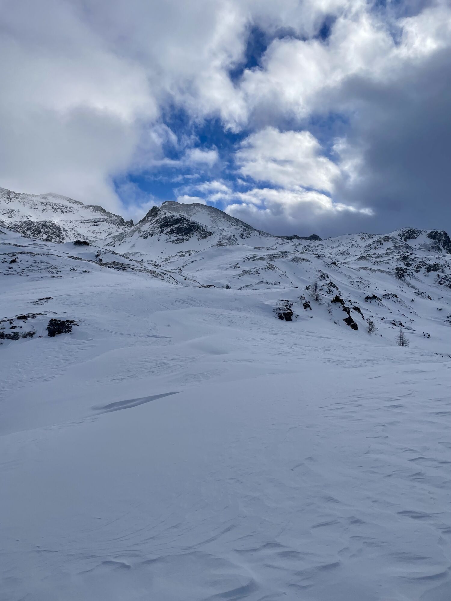
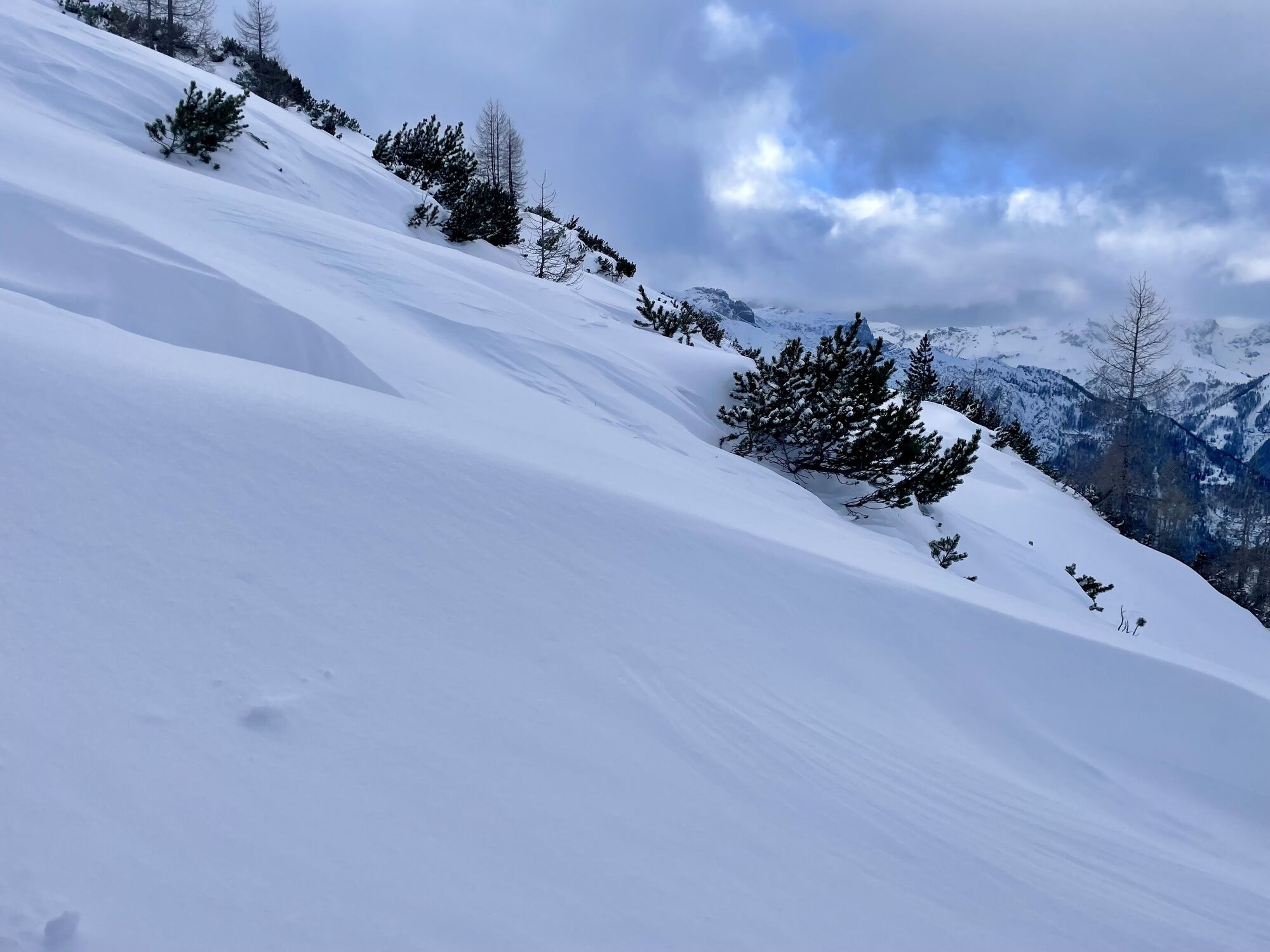
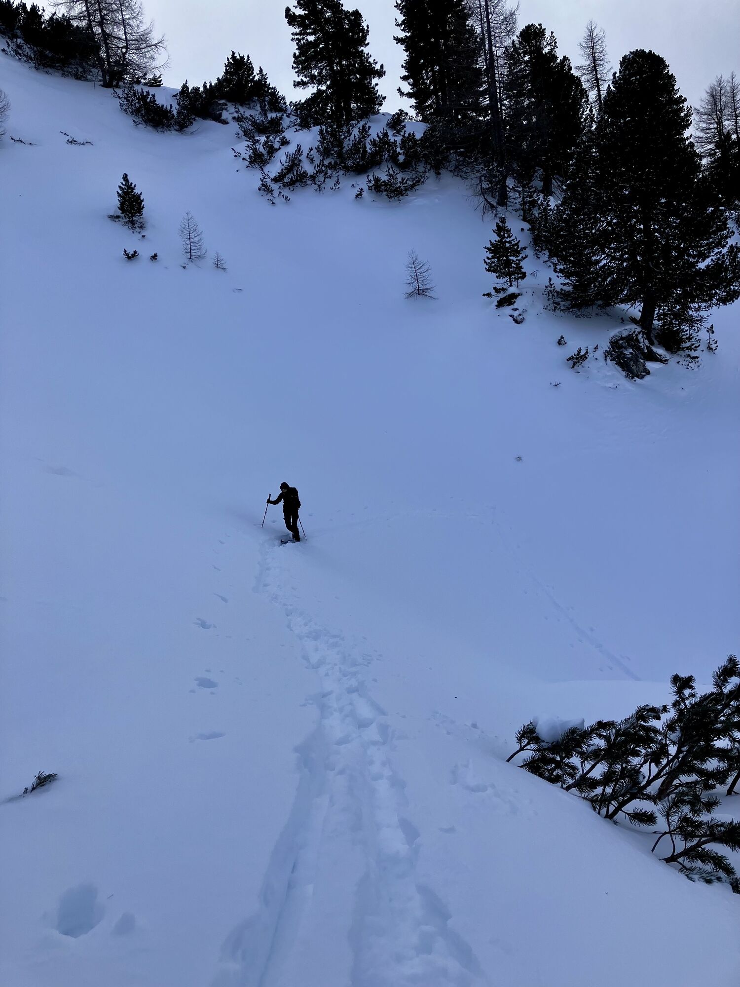
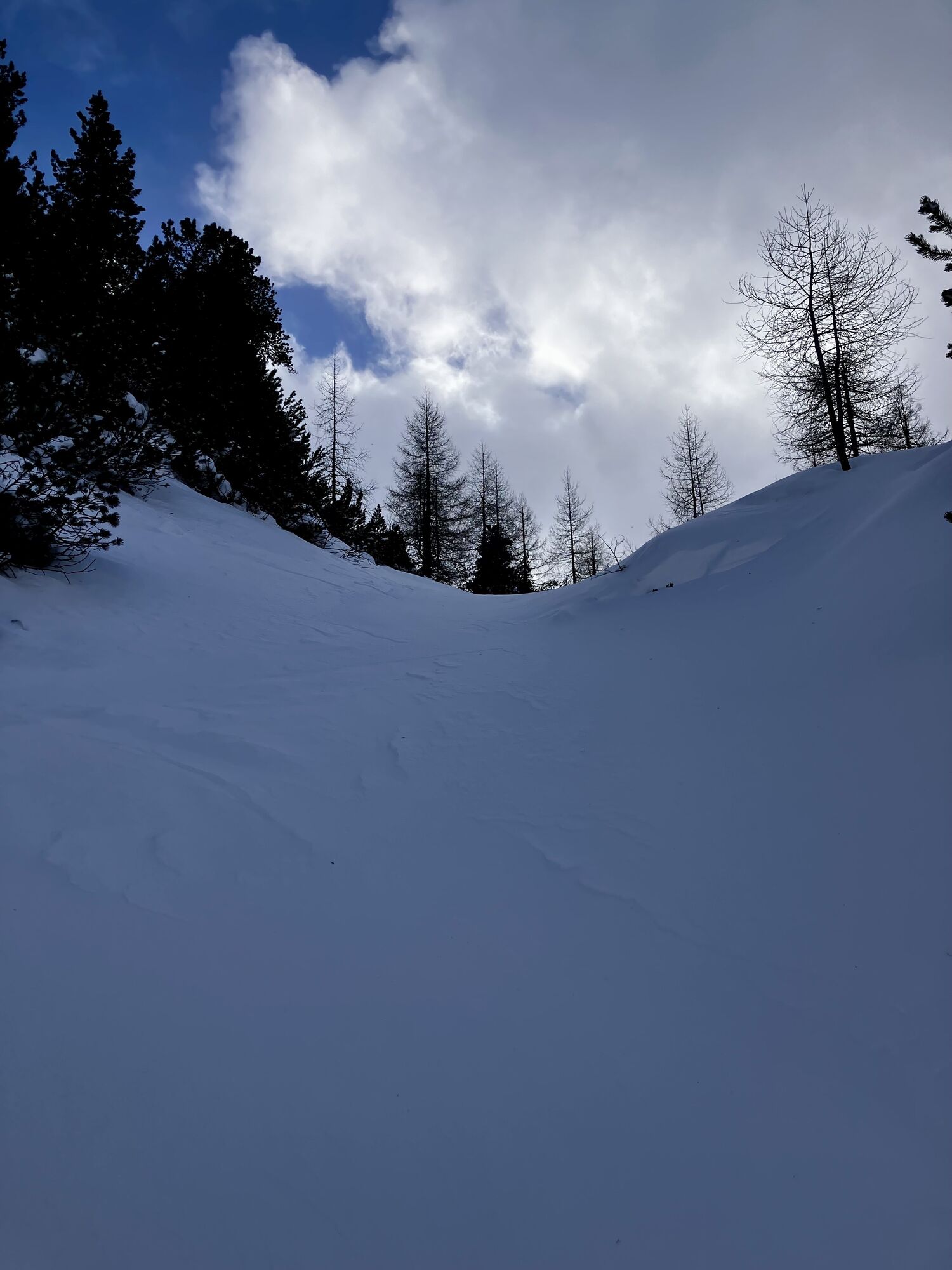

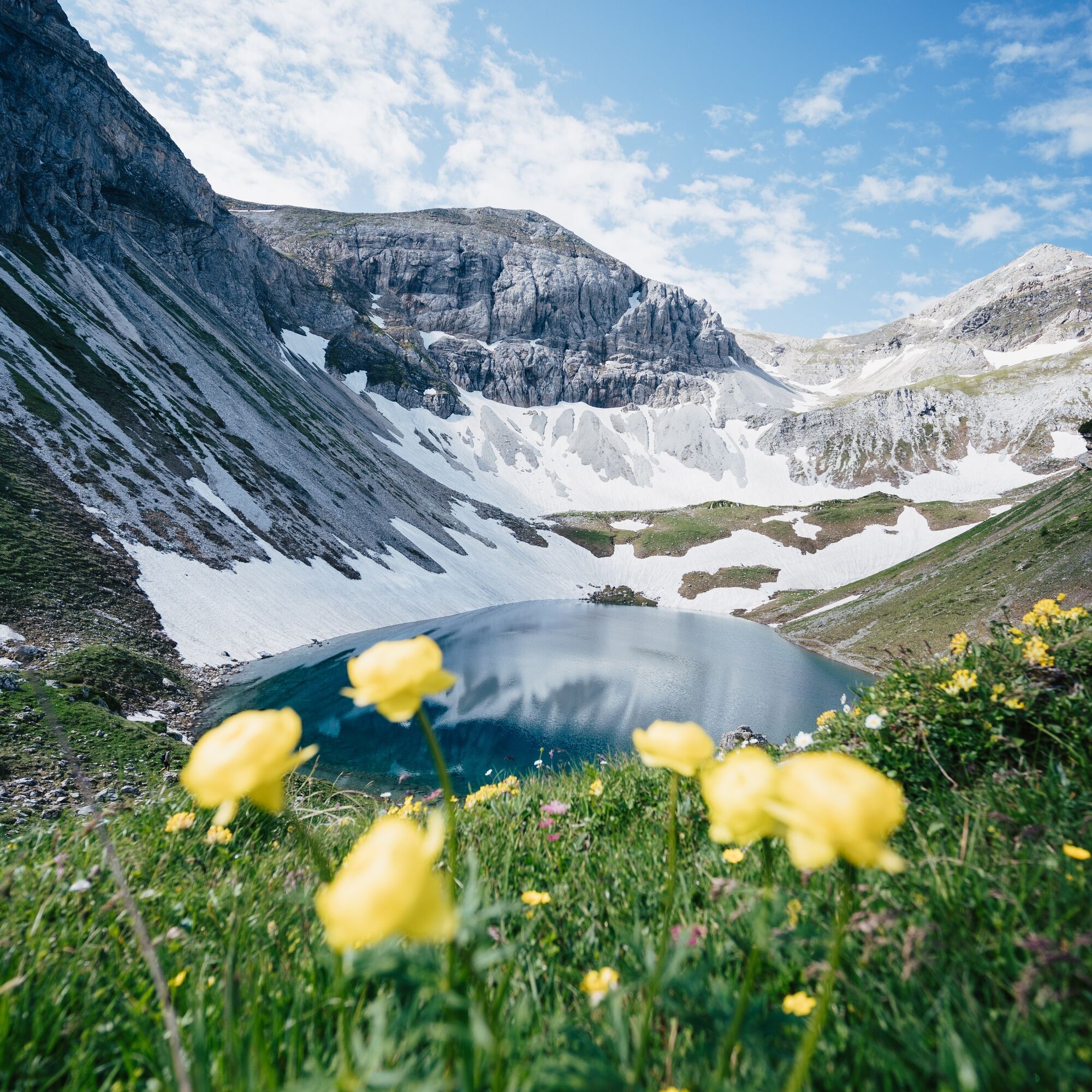

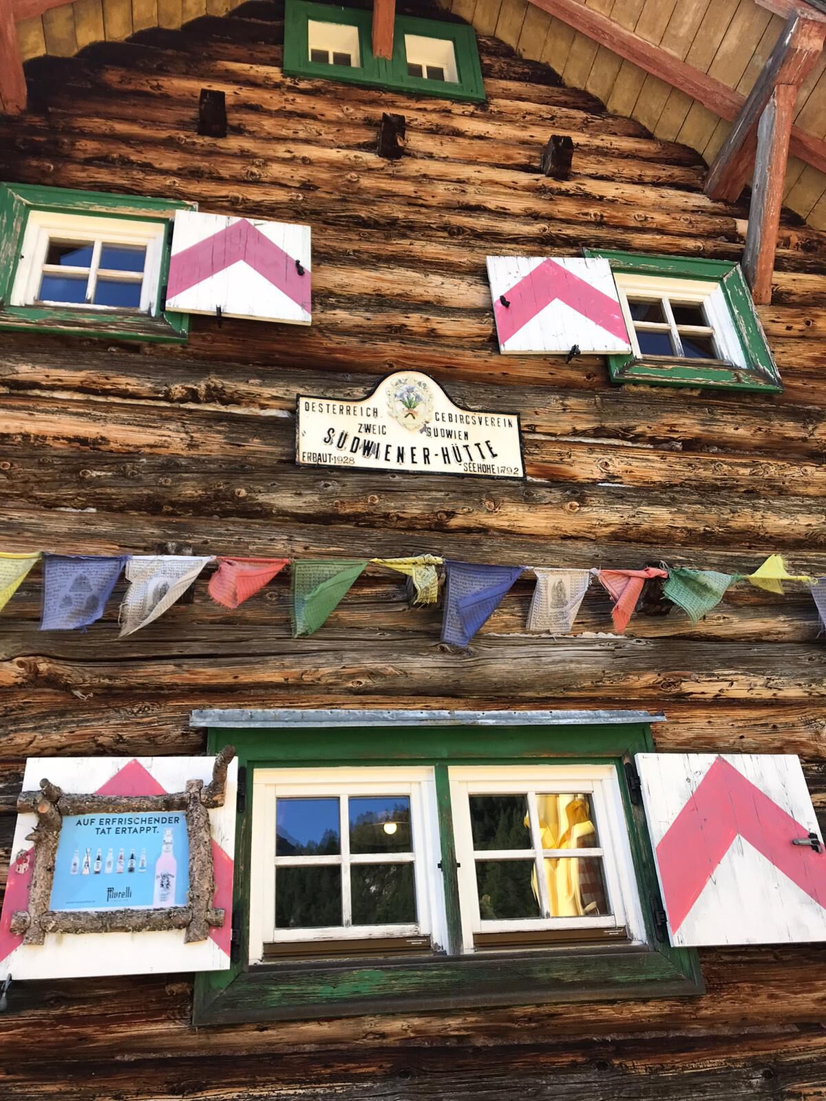
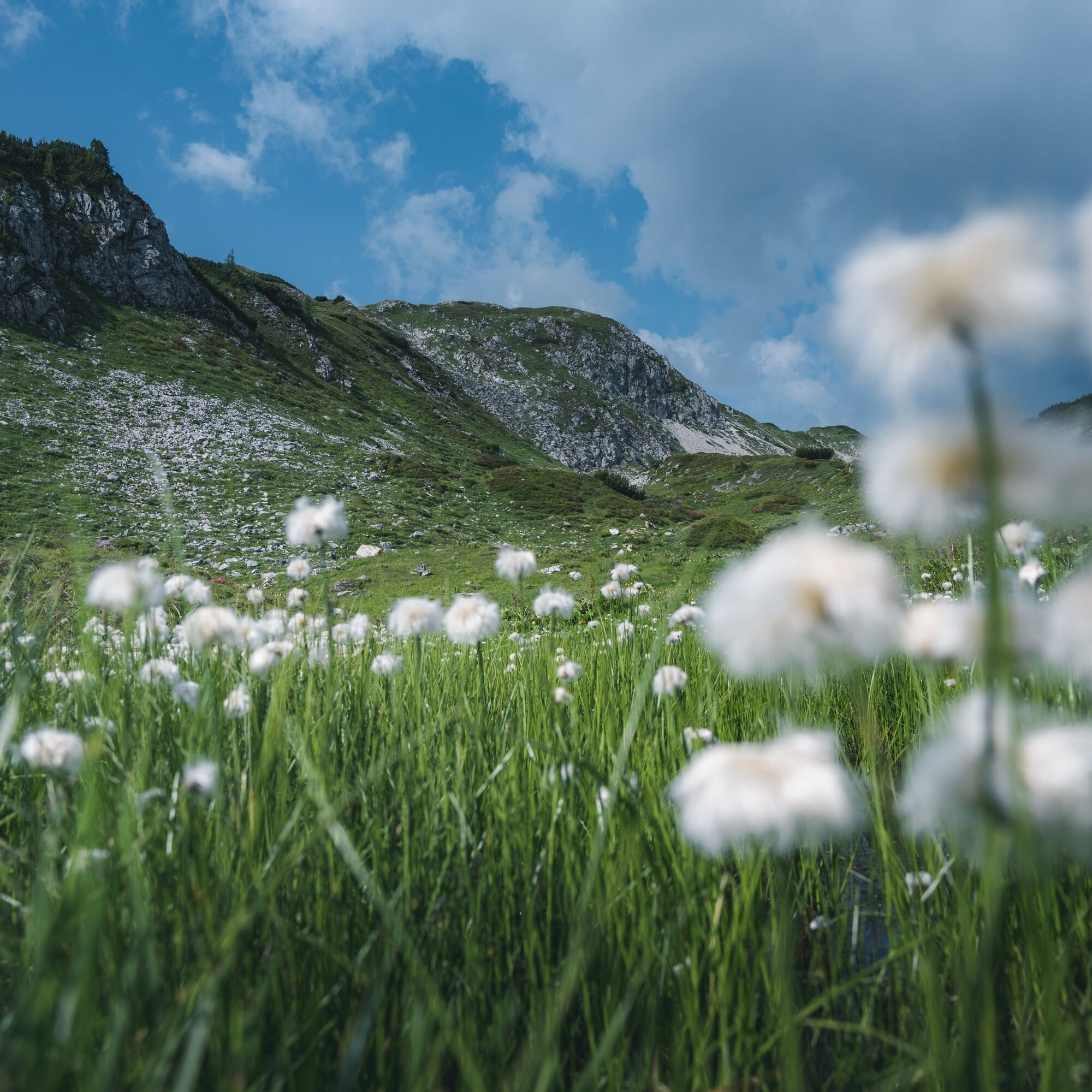
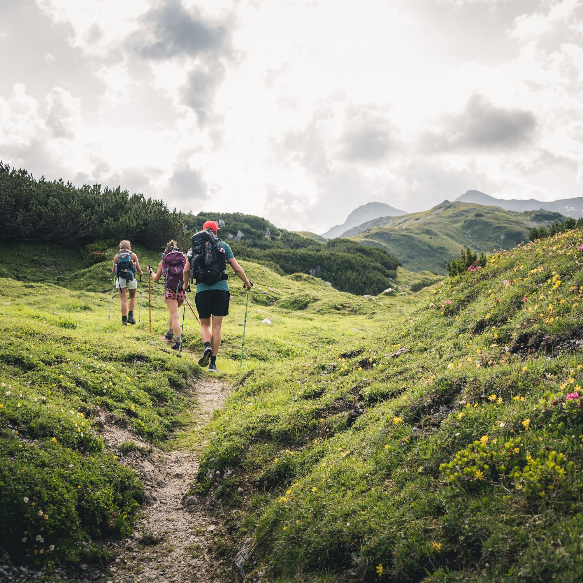

The route starts directly at the Obertauern Passhöhe heading west, initially crossing some ski slopes that are used as pastures in summer. Through open forests interspersed with mountain pines, you run further uphill on wonderful trails. The landscape becomes ever more alpine, the view of the nearby mighty rock peaks increasingly impressive, and after just over 4 km you reach the Wildsee, an absolute highlight of the route. The route continues with gentle ups and downs over alpine meadows until the descent to the Südwiener Hütte/Ennslehenhütte, where you can take a break or at least a short pause for a drink. Then along the namesake Hirschwandsteig path back towards Obertauern. Until the Neuhofalm you enjoy top-class trail running; the last section back is then a comfortable cooldown on forest roads and asphalt.
6% forest/meadow roads
13% asphalt
81% trails
ARRIVAL BY CAR
Get to your holiday destination safely, quickly, and easily. The hike is easily accessible via well-developed roads – from all directions!
Access from the North
Motorway Munich - Salzburg - A10 Tauern Motorway - Radstadt exit, Exit 63 - B99 Katschberg federal road - Radstadt - Untertauern - Obertauern Passhöhe
Access from the South
Villach - A10 Tauern Motorway - motorway exit toll station St. Michael, Exit 104 - Mauterndorf - Obertauern Passhöhe
Access from the East
Vienna - A2 - S6 - Semmering - A9 Pyhrn Motorway - Liezen B320 - Radstadt or Judenburg - Murtal federal road - Murau - Tamsweg - Mauterndorf - Obertauern Passhöhe
TIP: If you want to arrive by public transport, the Postbus line 280 stops directly in Obertauern.
Online bus timetable
You can park for free at the Public Passhöhe parking lot. This parking lot is also the starting point for the route.
Absolute highlight = WILDSEE and a stop at the Ennslehenalm must not be missed!

Webové kamery z prehliadky
-
Gamskogelhütte
-
Plattenkar
-
Gnadenalm
-
Grünwaldkopf
-
Zehnerkar
-
Seekar
-
Sporthotel Snowwhite
-
Hotel Cinderella
-
Sonnenterasse Edelweissalm
-
Hotel Garni Gloria
-
Lürzeralm
-
Hotel Kesselspitze
-
Hotel Auerhahn - Obertauern
-
Hotel Schneider
-
Breitlehenalm
-
Gamsleiten
-
Hochalmkopf
-
Obertauern - Haus Petergstamm
-
Seekarhaus - Obertauern
-
Seekarhaus - Bergstation Seekarspitzbahn
-
Seekarhaus 3
-
Schaidberg
-
Zehnerkar
-
Obertauern - Aparthotel Weninger Alm
-
Obertauern - Hundskogel
-
Obertauern - Gamsleiten
-
Hotel “Der Sailer”
-
Gamsleiten
Získajte prehľad
Vždy naživo na mieste s viac ako 9 500 webovými kamerami. bergfex Ako používateľ Pro si teraz môžete pozrieť príslušné webové kamery pre mnohé zájazdy v aplikácii zájazdy z. Môžete si tak priamo prezerať aktuálne podmienky.
Obľúbené výlety v okolí
-
4,9
Rundwanderweg von der Fallhausalm und Vögeialm übers Klamml zur Oberhütte am See
strednáTuristika 10 km -
4,1
Tappenkarsee Kleinarl
strednáTuristika 9,11 km -
4,6
Ski route Lackenkogel
strednáSkitour 7,82 km -
5,0
Twengsee
strednáTuristika 9,66 km -
4,8
Obertauern to the Johannes Waterfall
strednáTuristika 9,39 km -
4,7
Reiteralmrunde
svetloTuristika 5,71 km -
4,6
Mosermandl Windischscharte, Salzburger Land/Österreich
ťažkéTuristika 14,6 km -
5,0
Doggotour von Hochwurzen zur Ursprungsalm
ťažkéTuristika 16,0 km -
4,5
Ursprungalm - Hochwurzen
strednáTuristika 9,37 km -
4,5
Tappenkarseehütte von Schwabalm
svetloTuristika 5,04 km
Turistika a stopovanie


Nenechajte si ujsť ponuky a inšpiráciu na ďalšiu dovolenku
Vaša e-mailová adresa bol pridaný do poštového zoznamu.





