


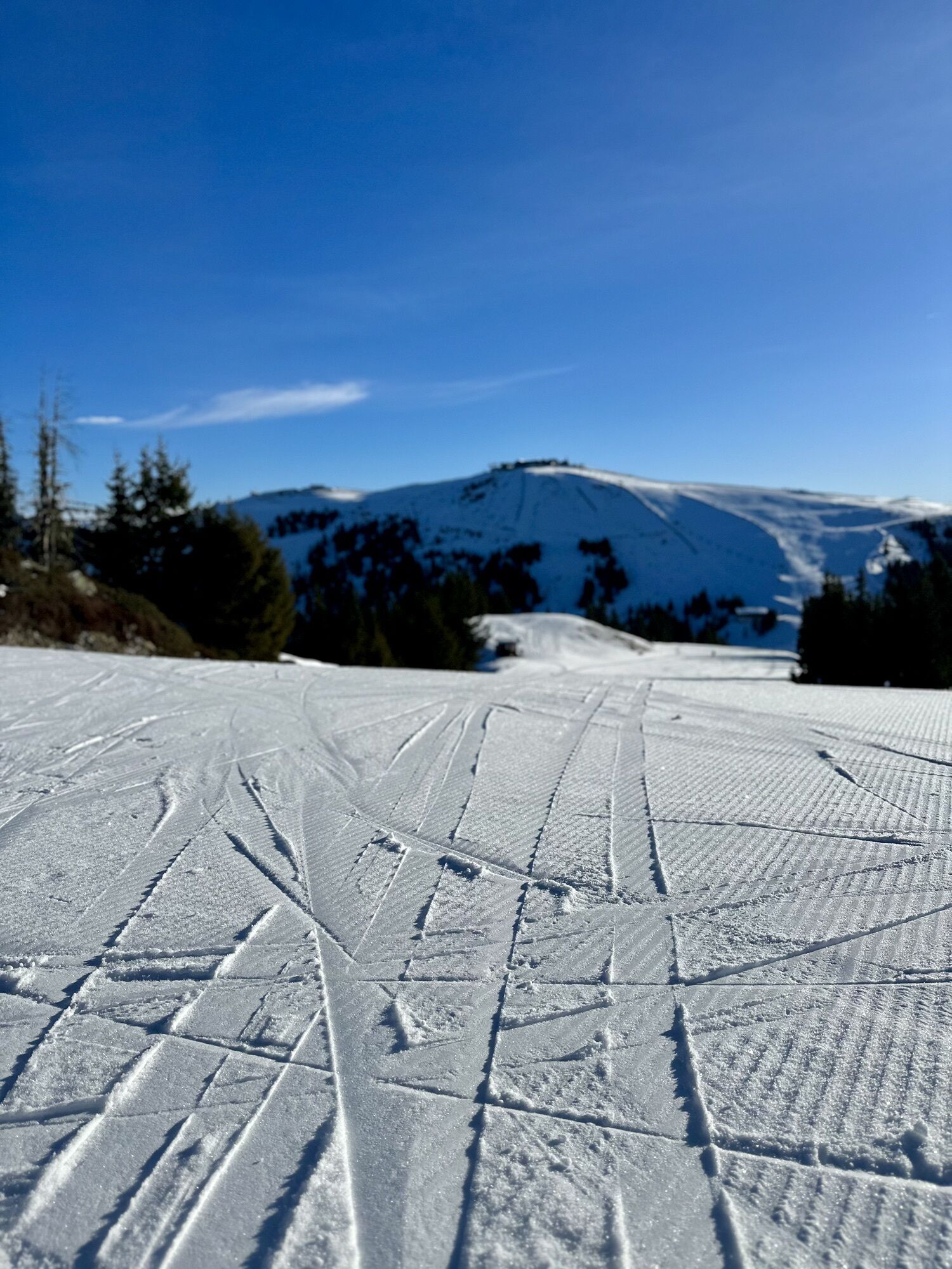
Panorama Trail long
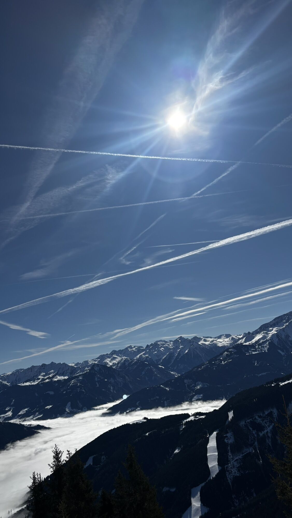
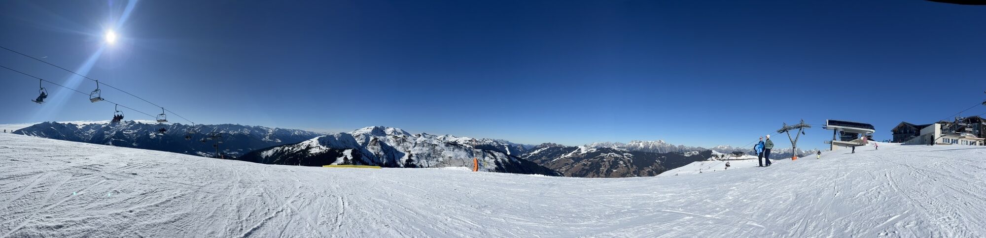
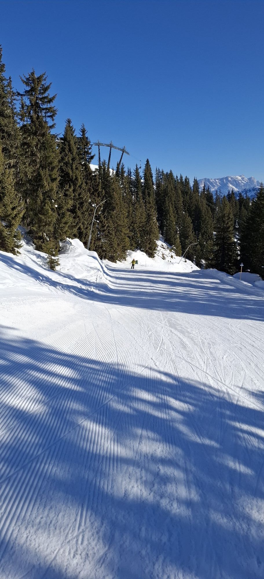
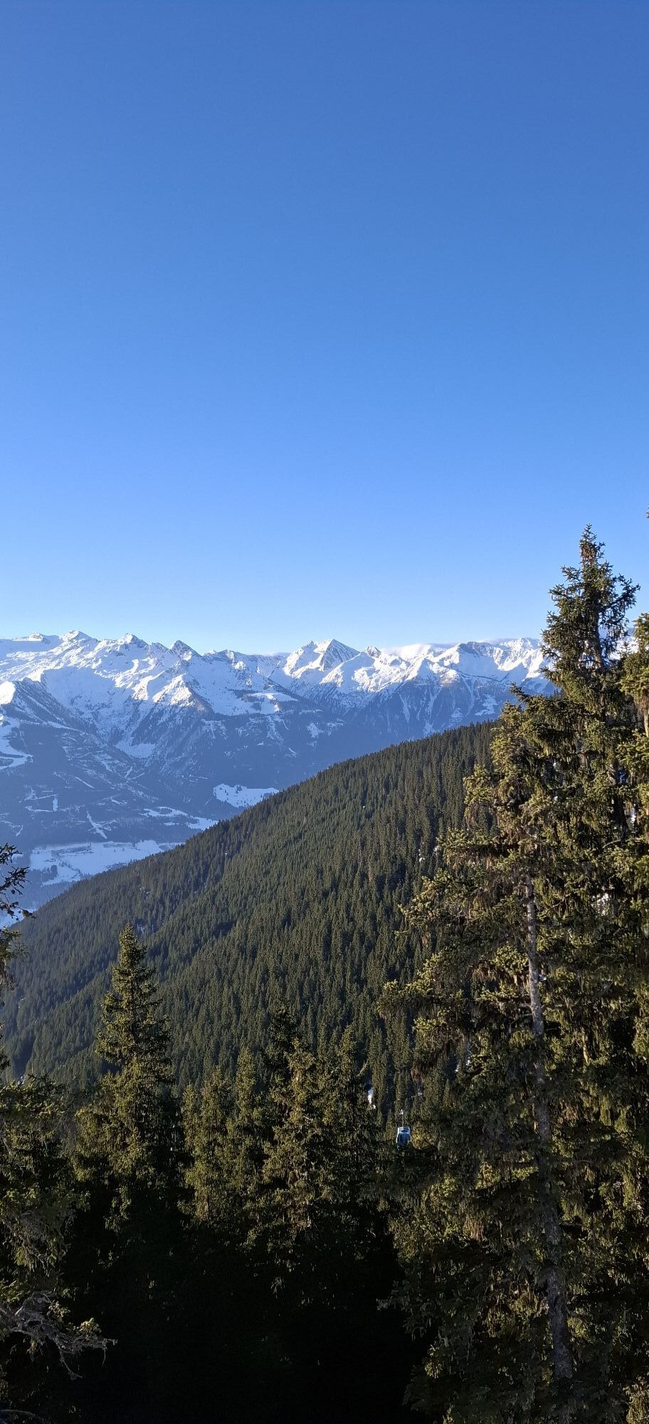

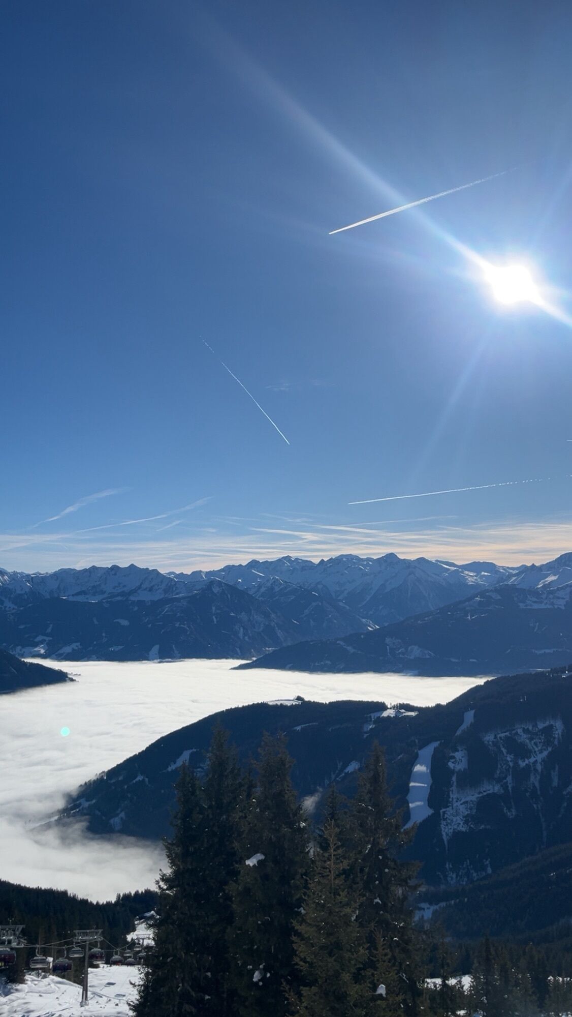
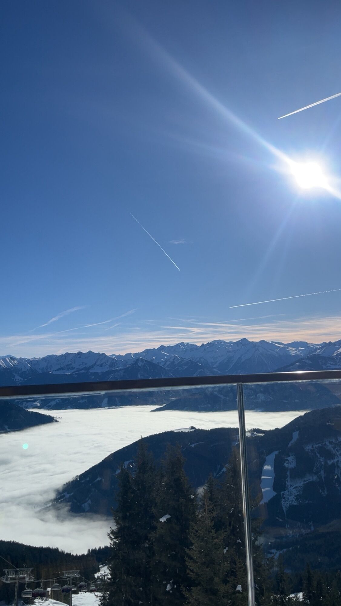
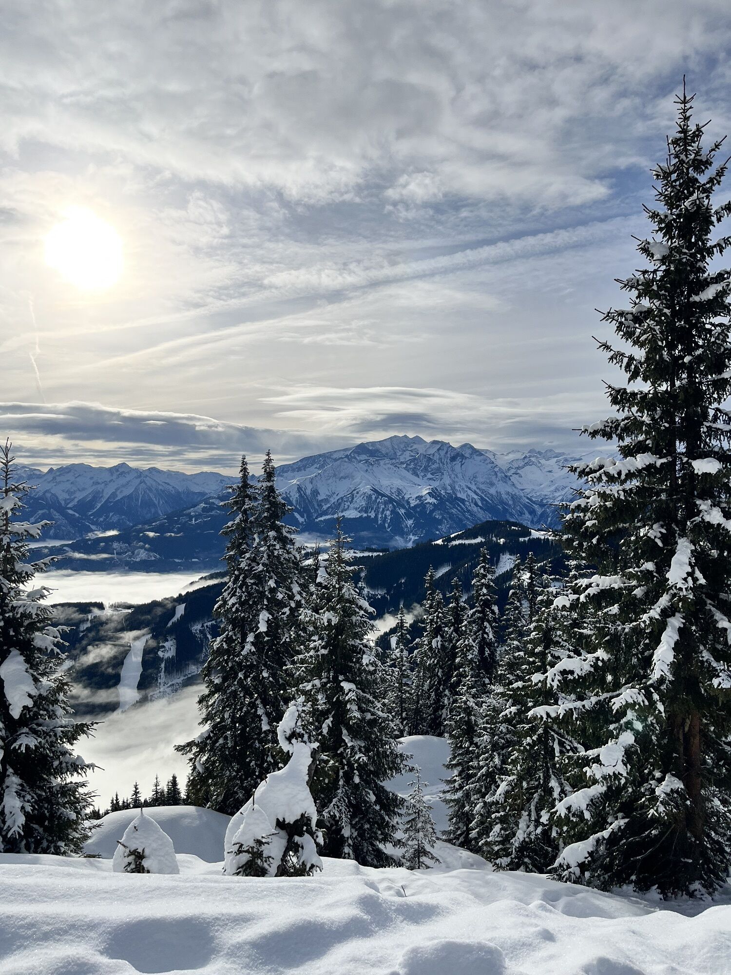
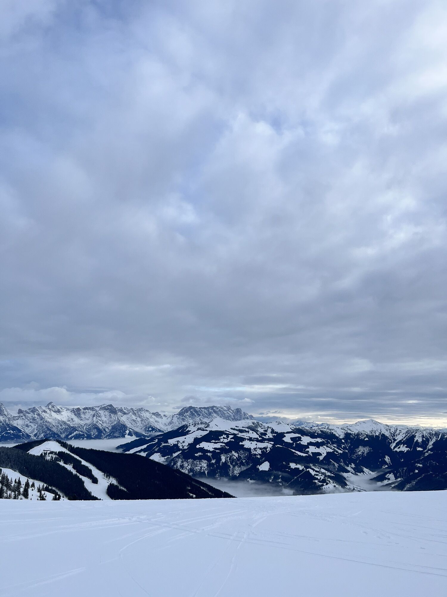
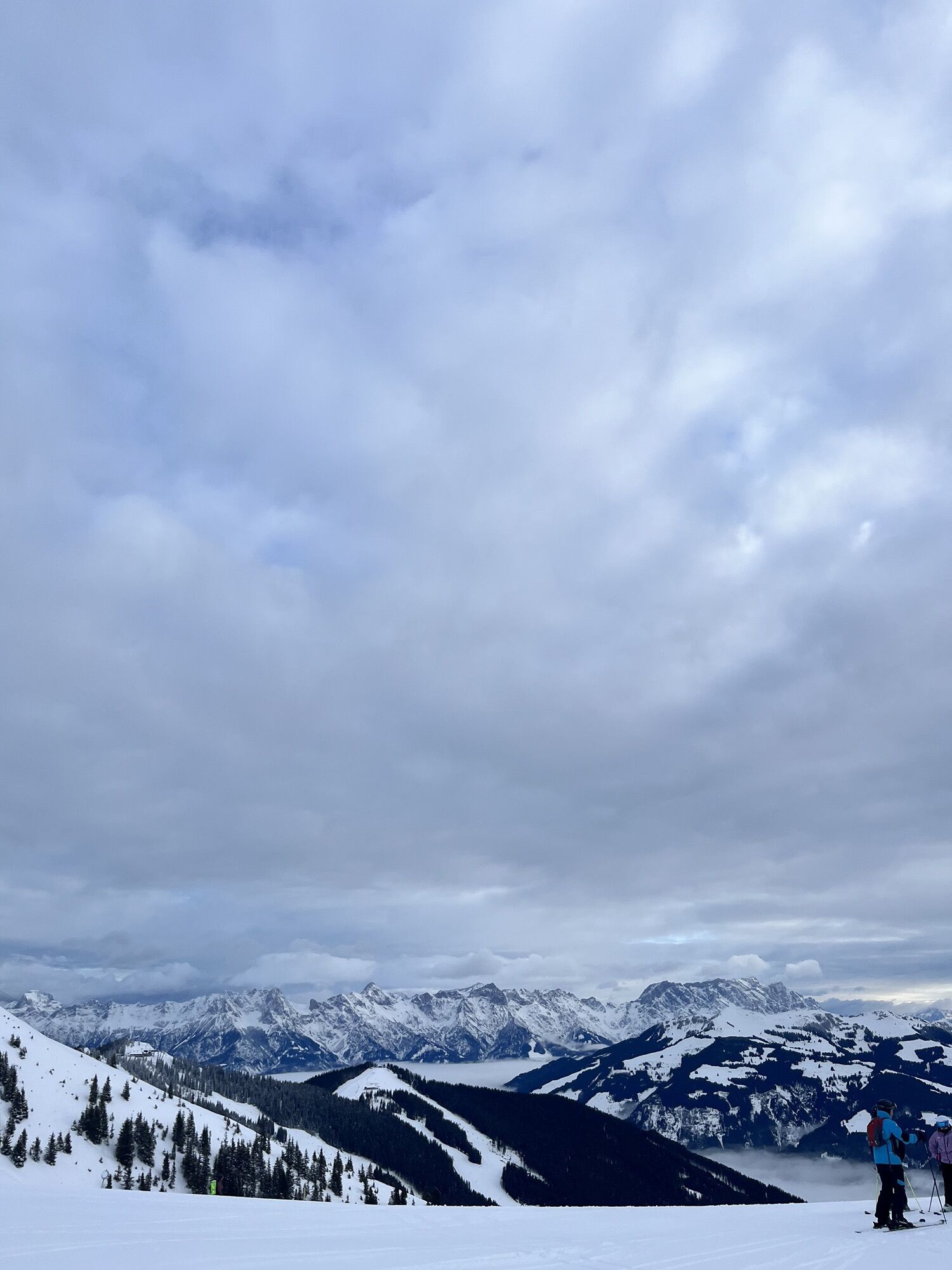
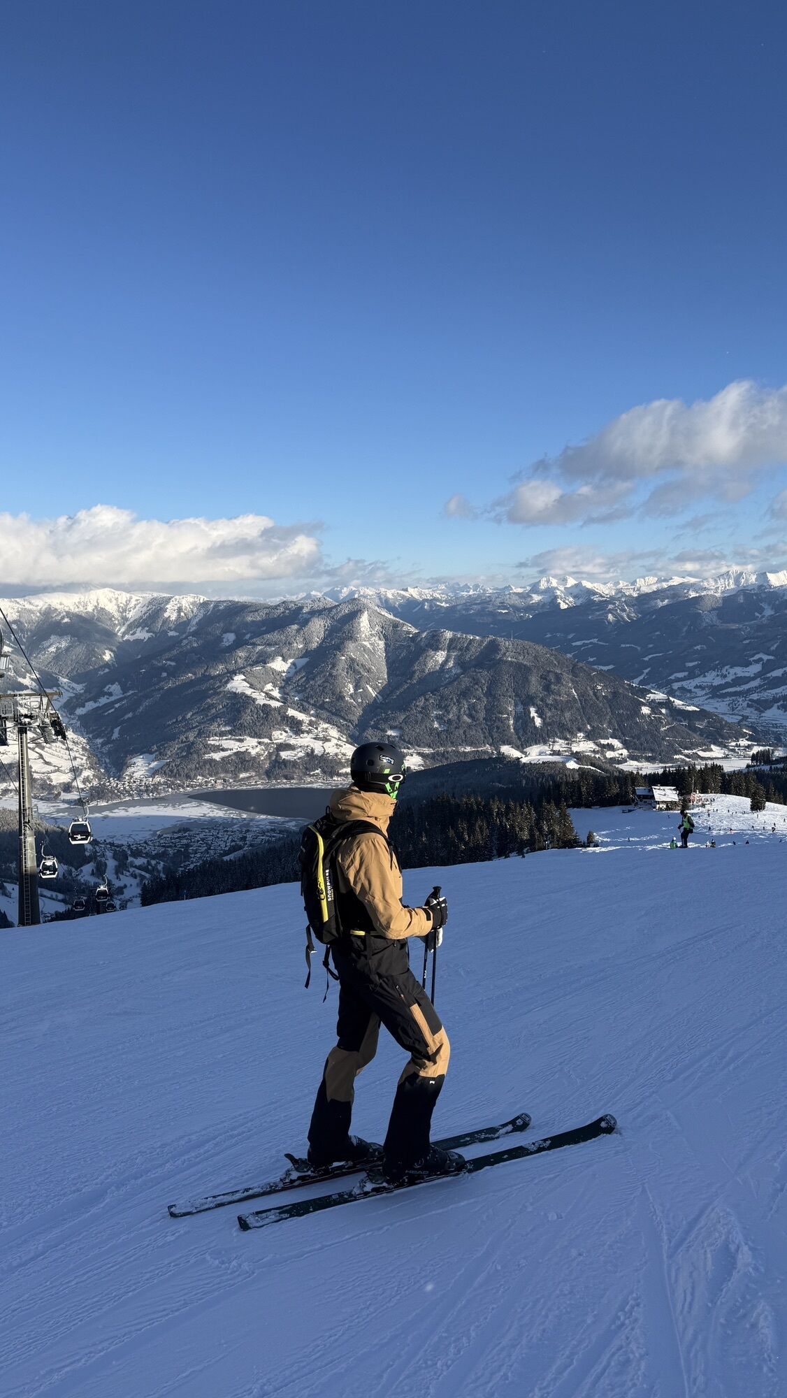
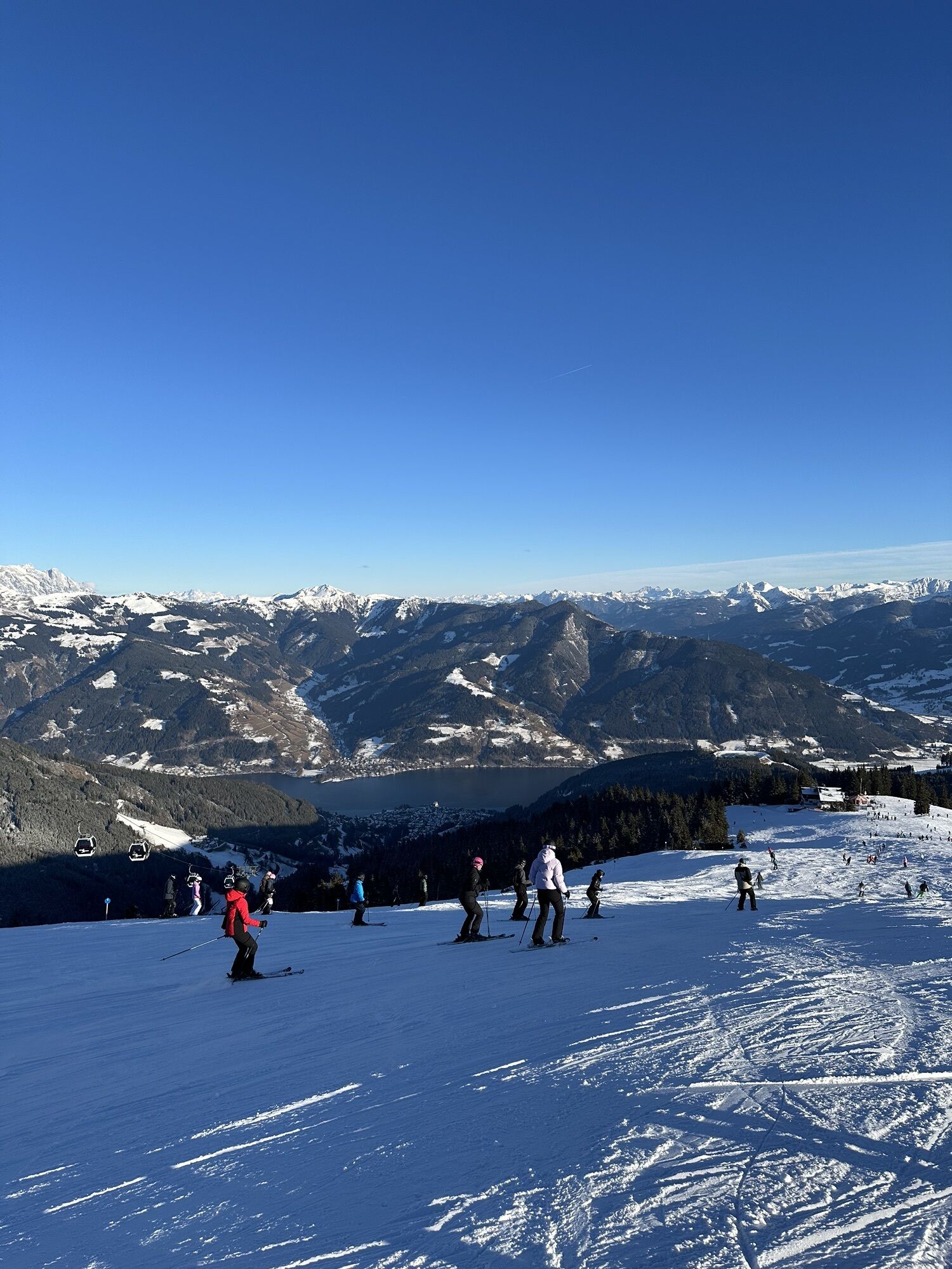
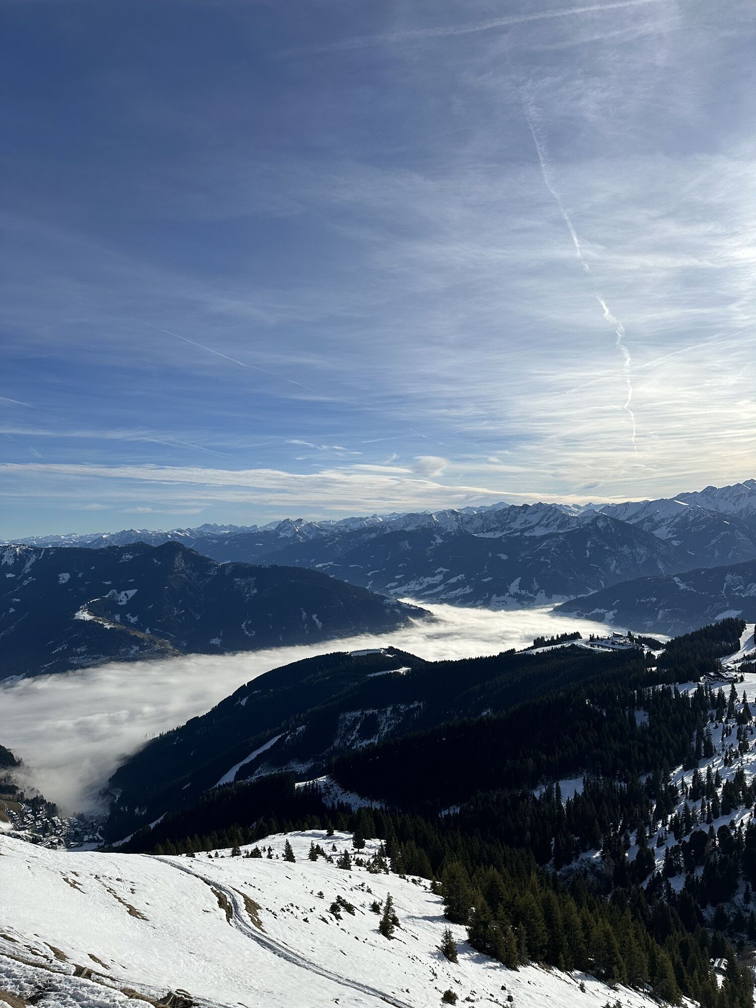
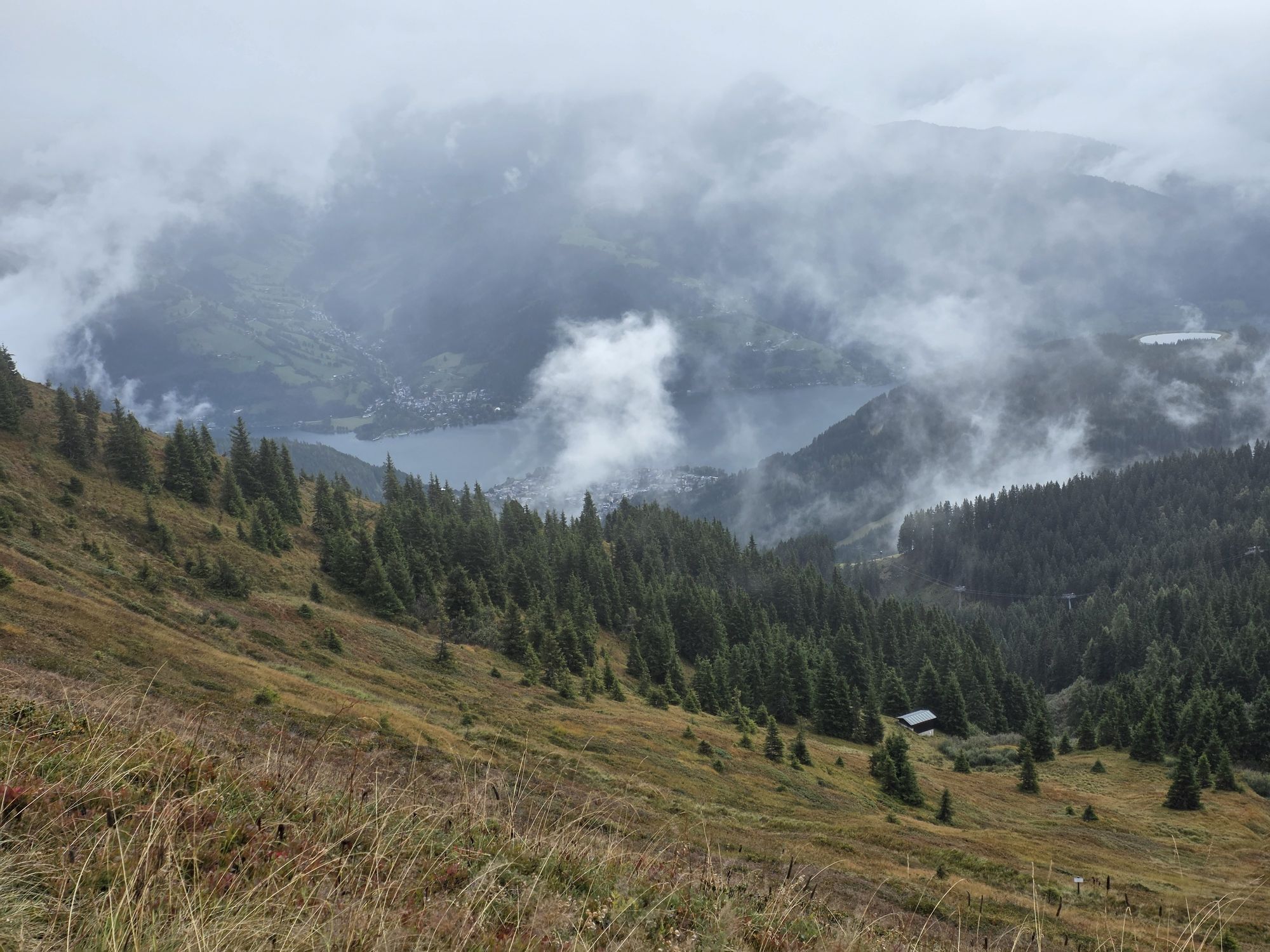
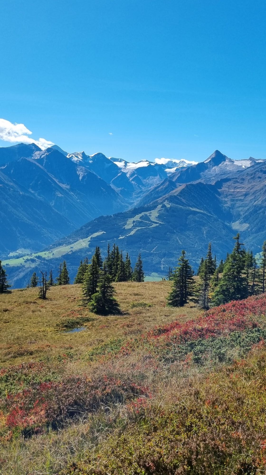
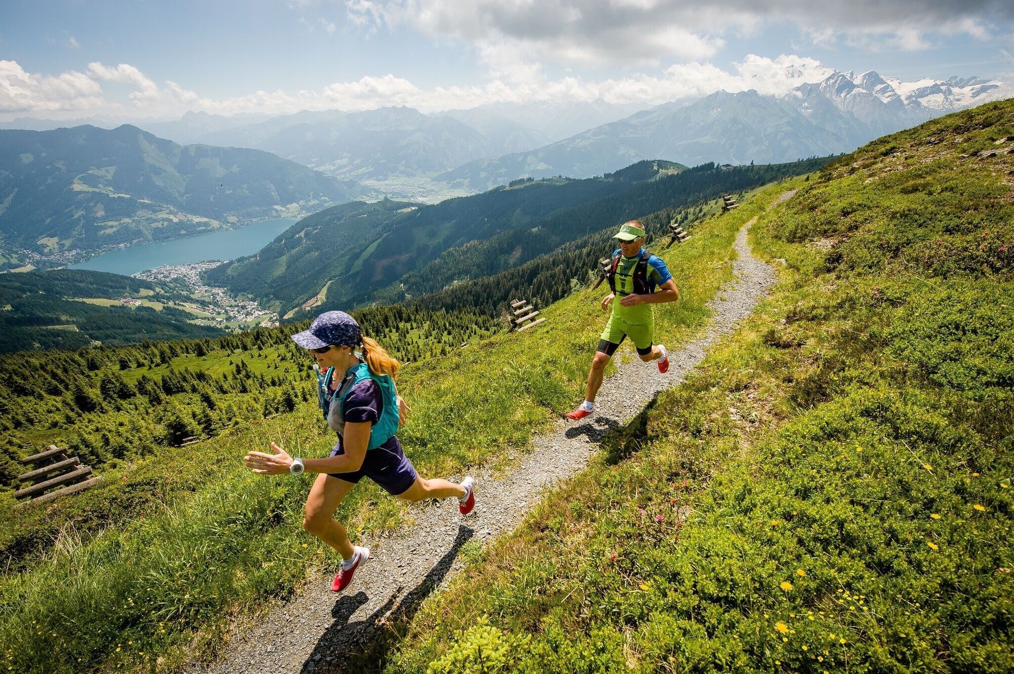
Beautiful trails lead the runners along the high-altitude promenade. Initially, you follow in the footsteps of Empress Elisabeth on the Sissi Circular Trail. Sensational views of Lake Zell, the Kitzsteinhorn...
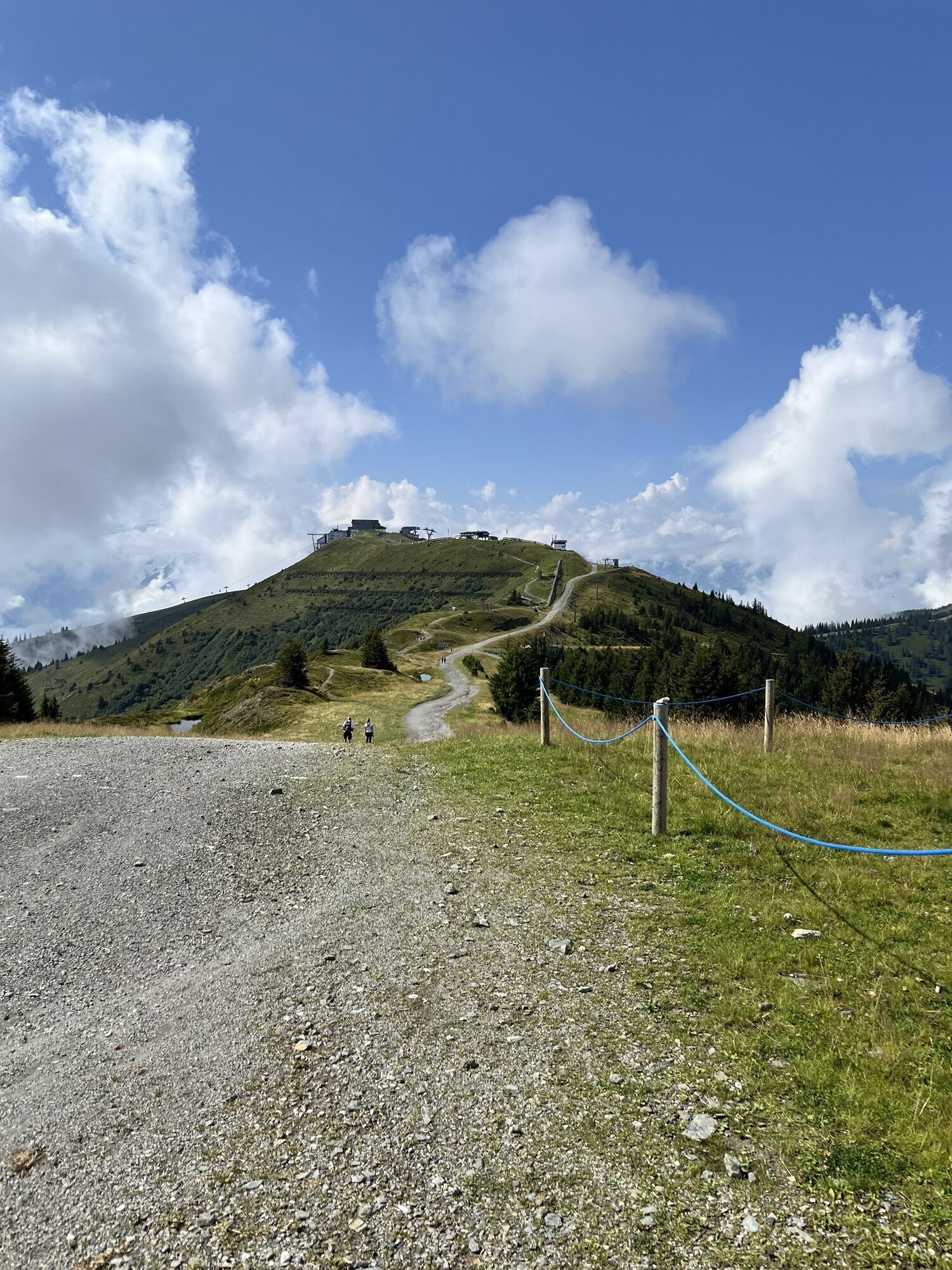
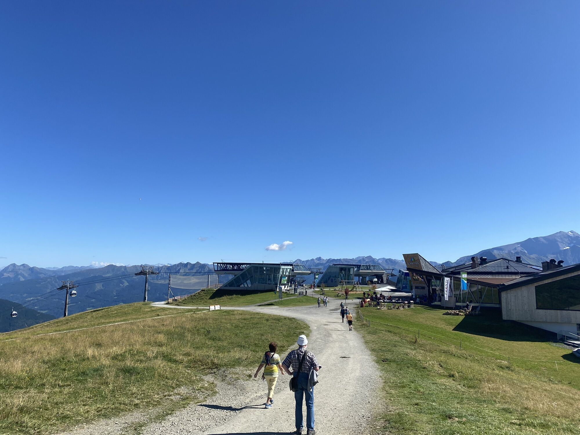
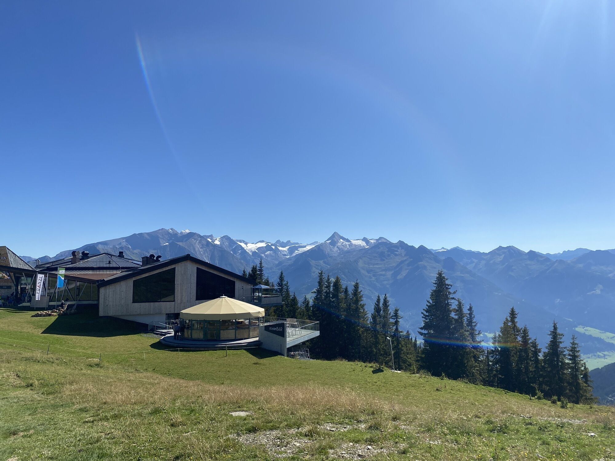
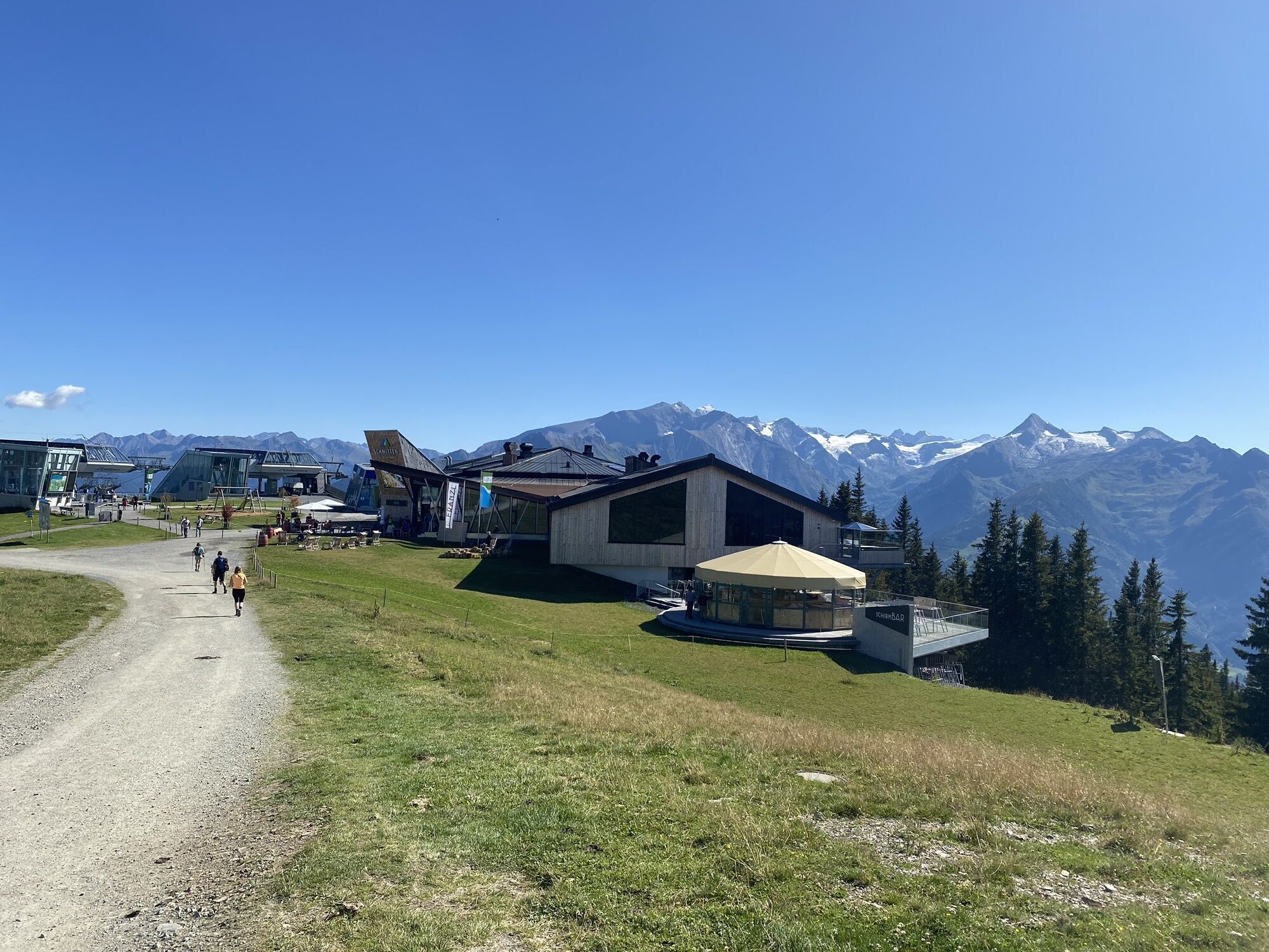
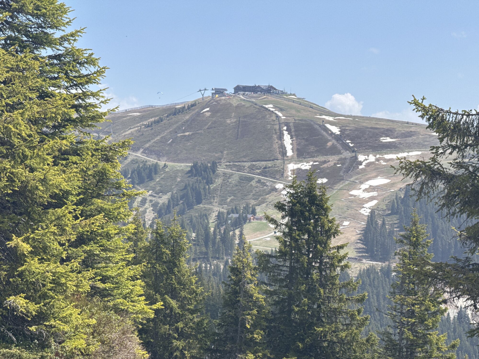
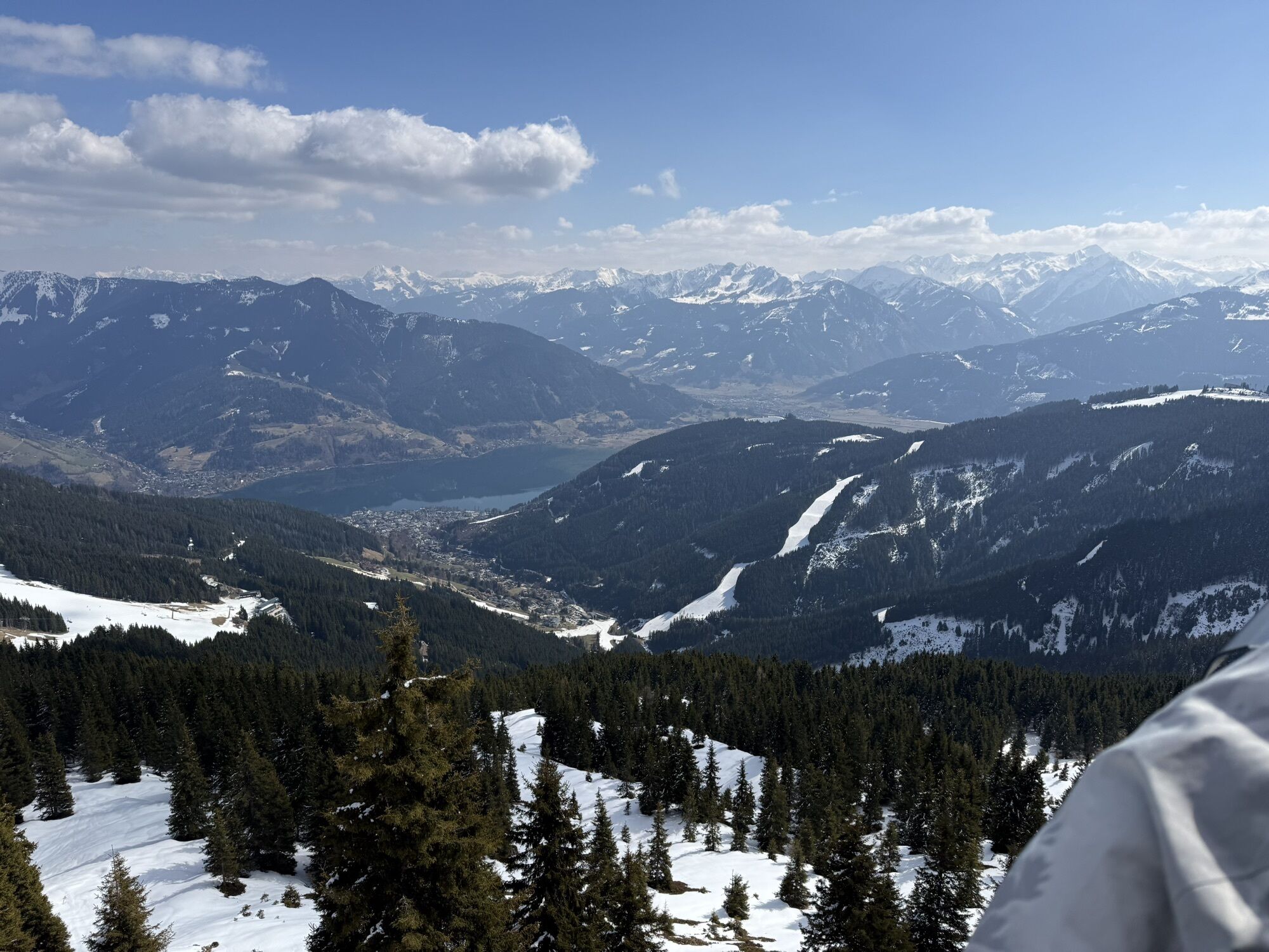
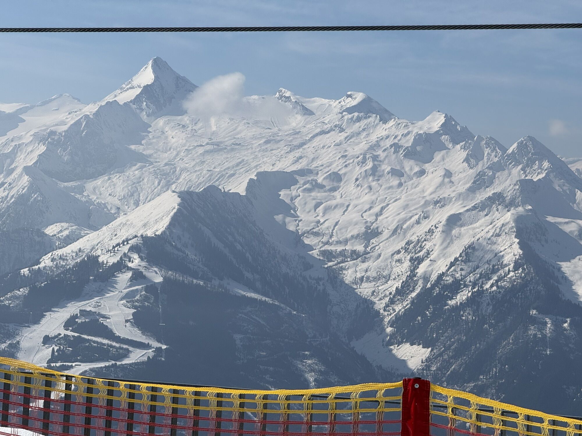
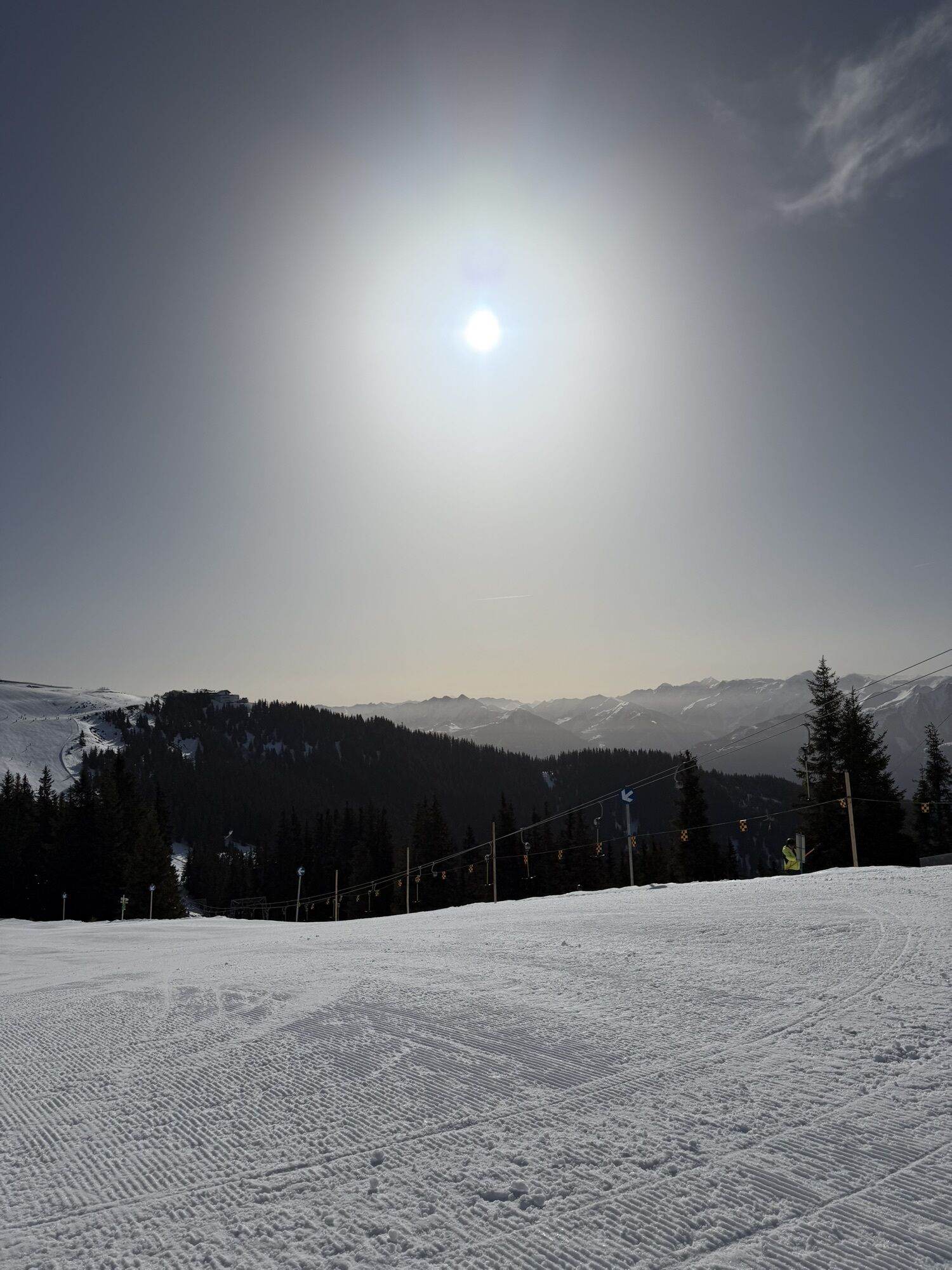
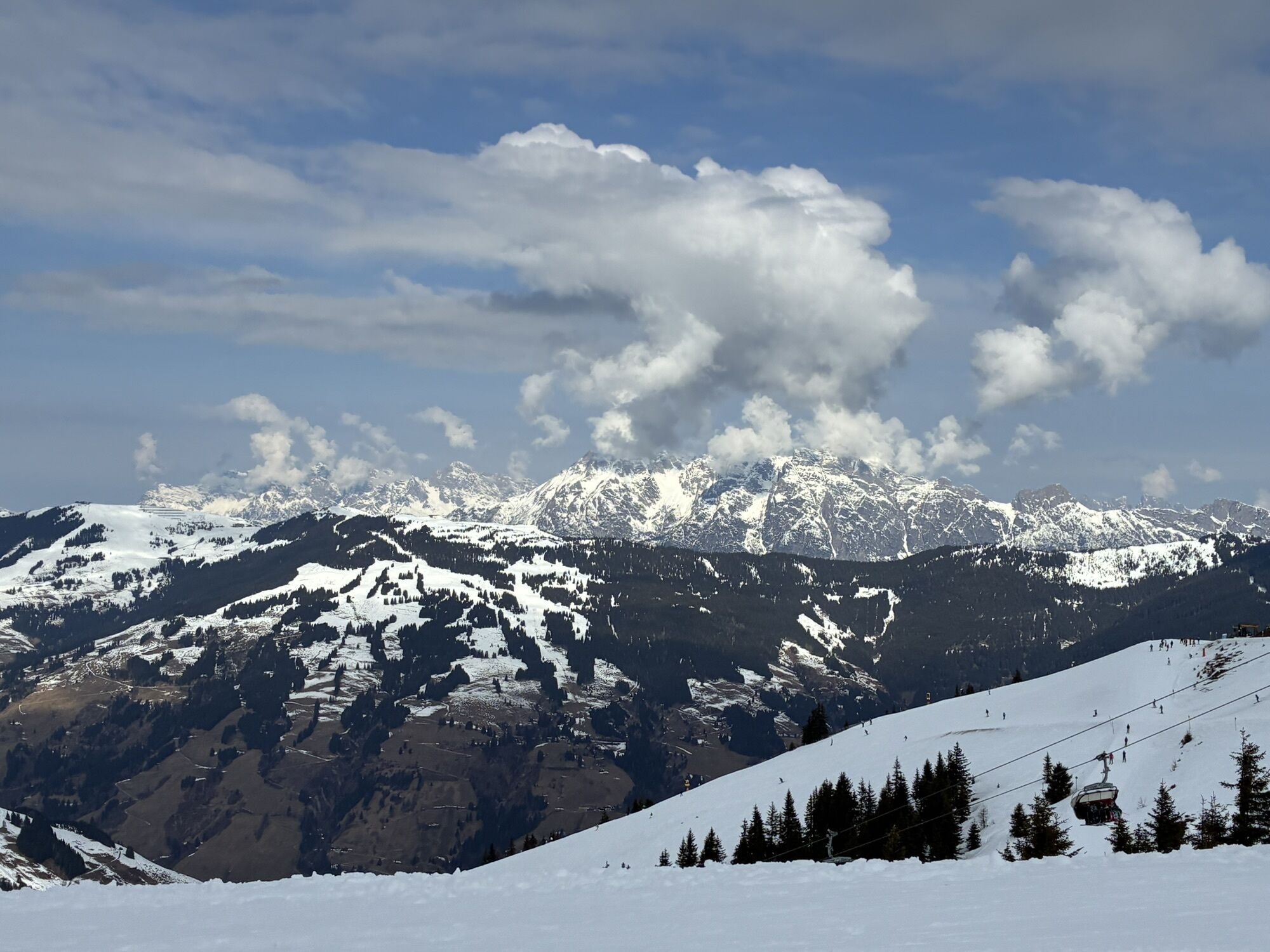
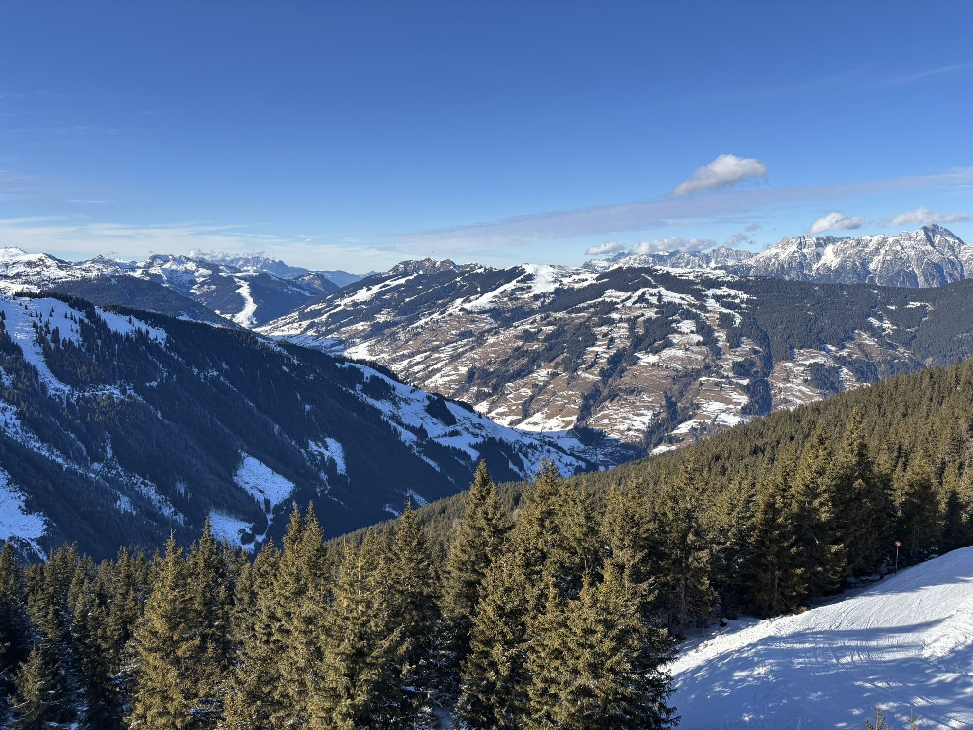
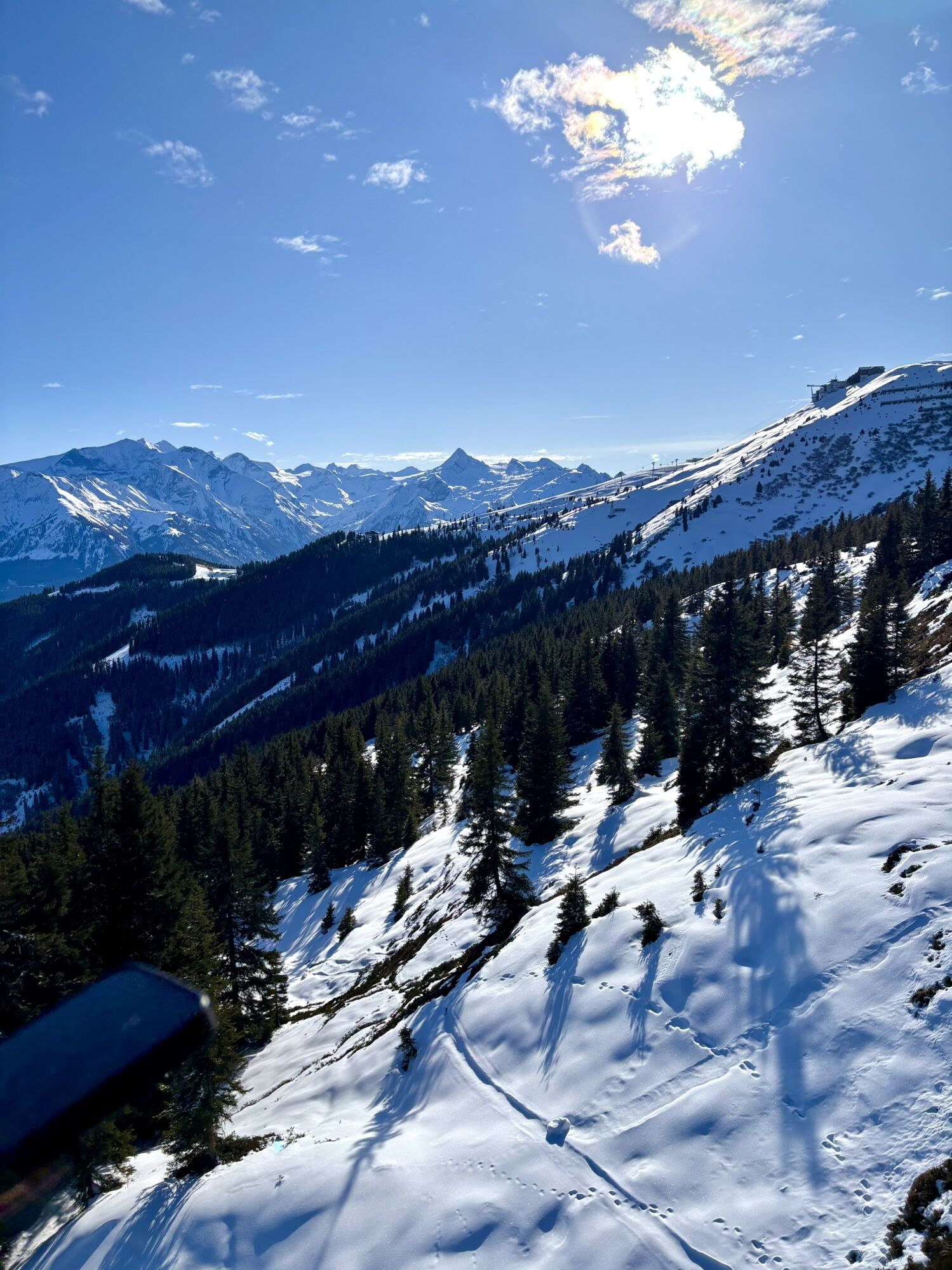
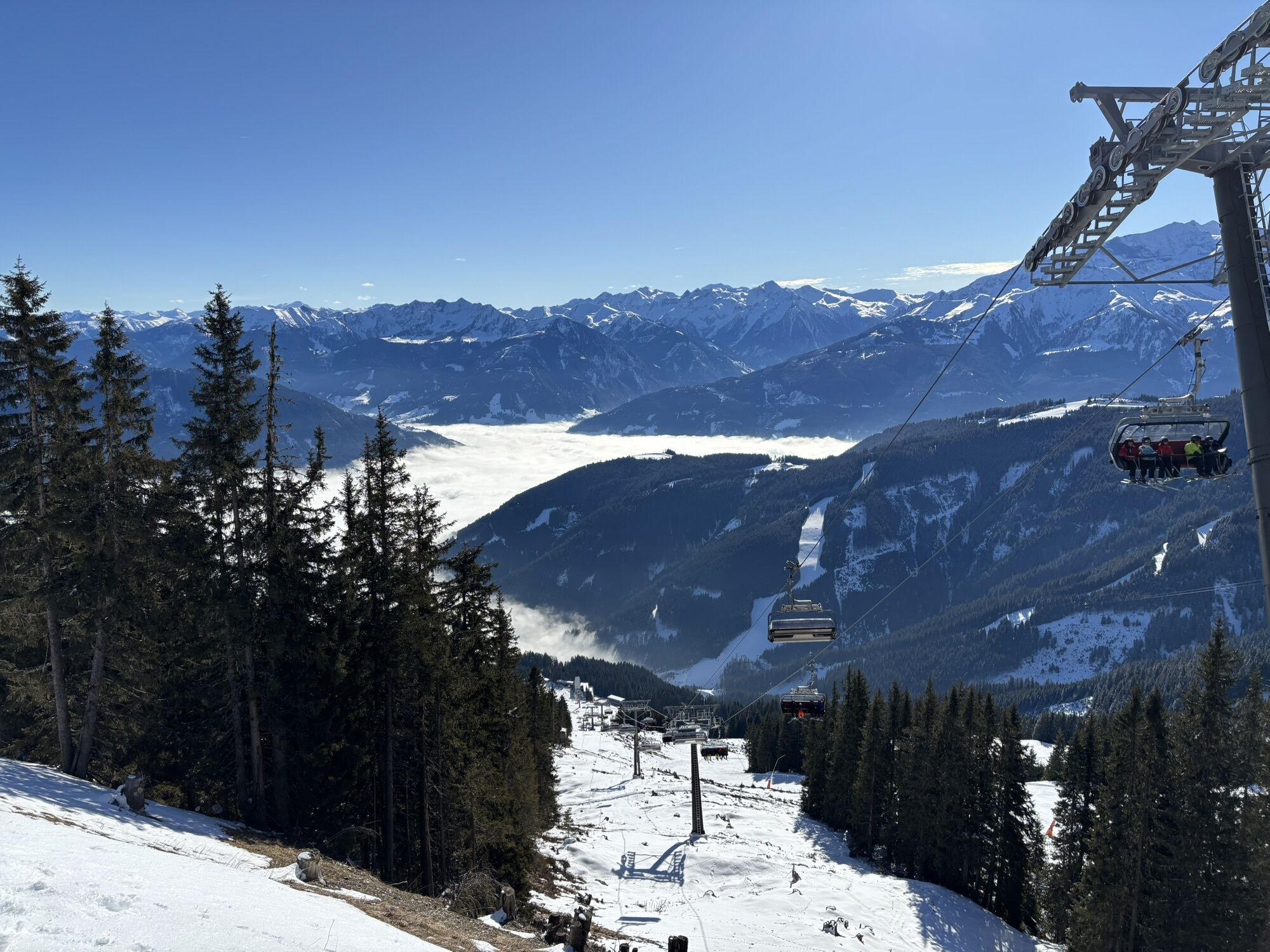
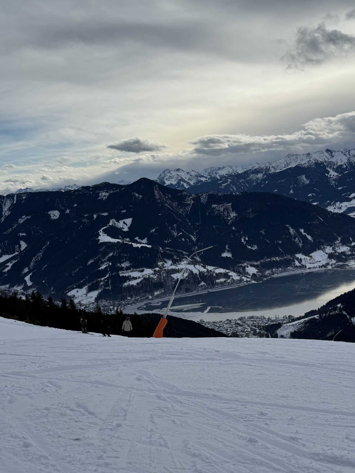
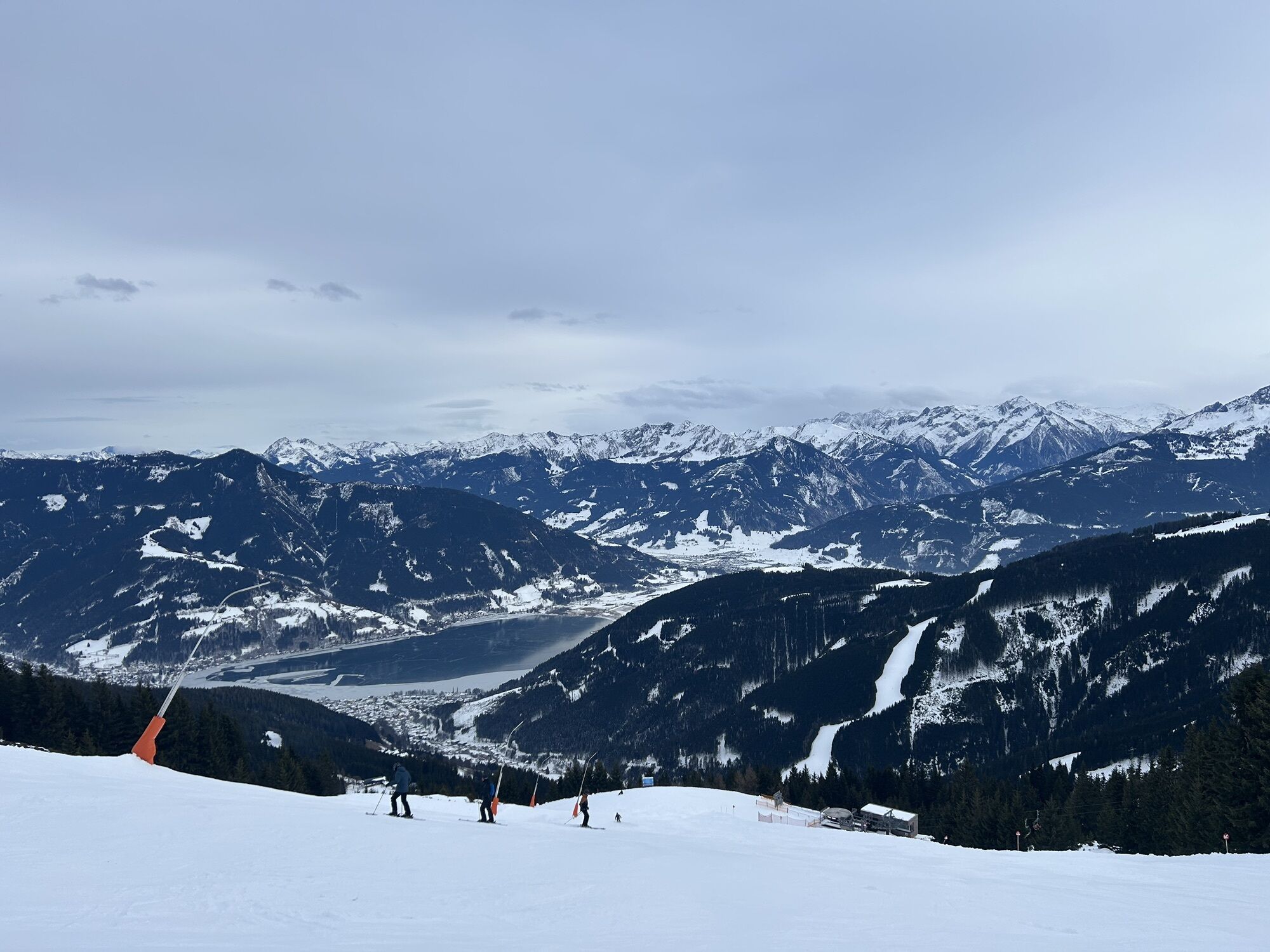
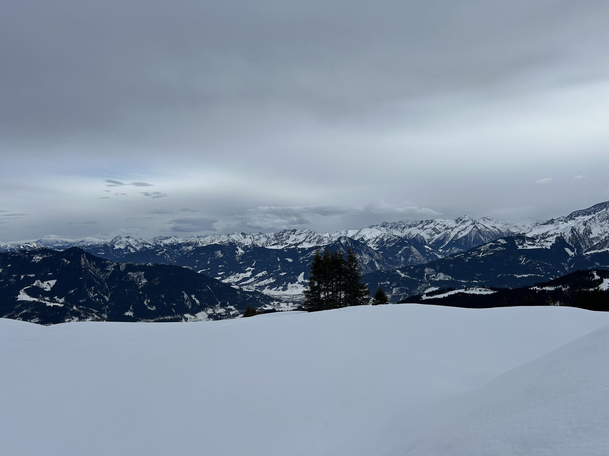
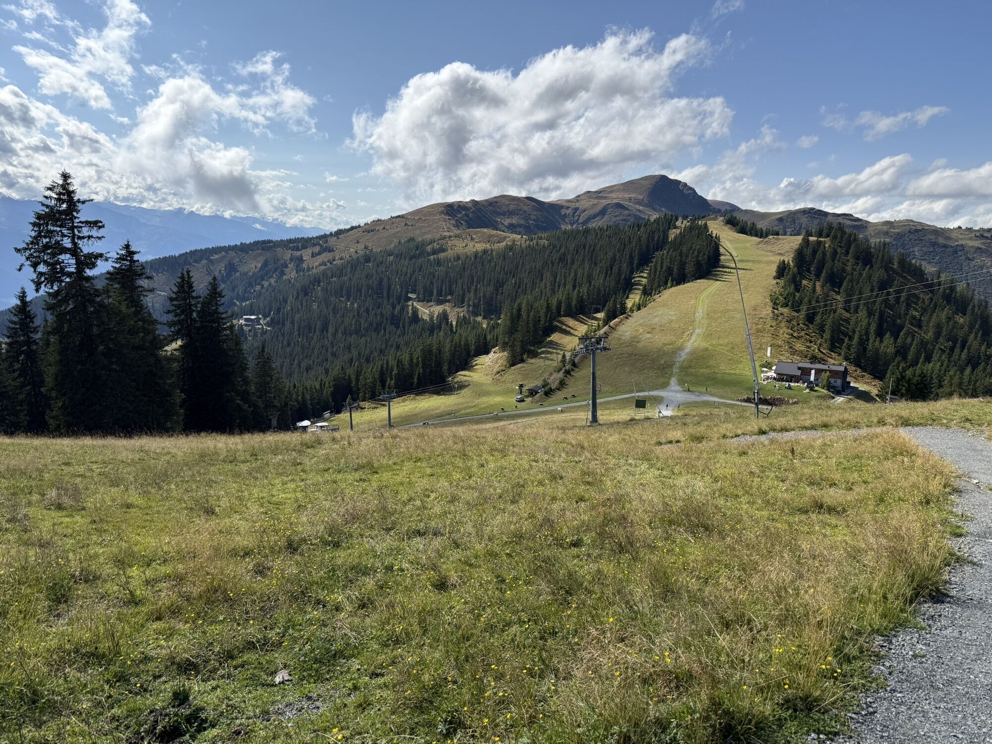
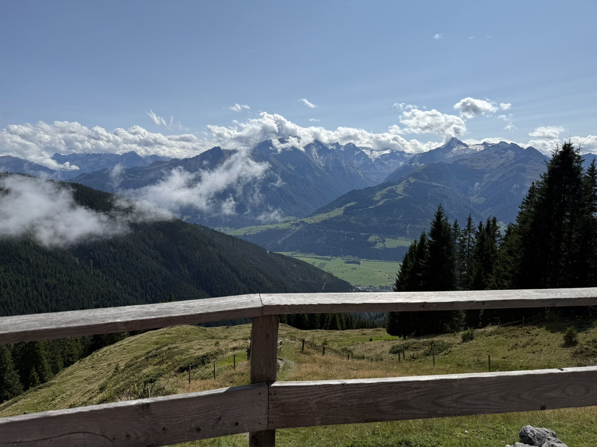
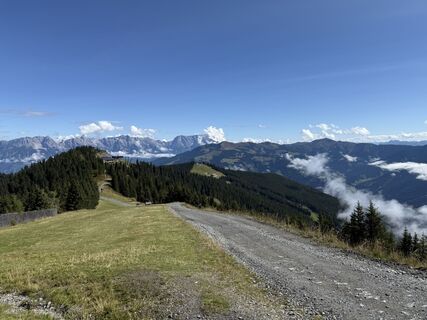
Beautiful trails lead the runners along the high-altitude promenade. Initially, you follow in the footsteps of Empress Elisabeth on the Sissi Circular Trail. Sensational views of Lake Zell, the Kitzsteinhorn glacier ski resort, the Grossglockner and many other stunning mountain worlds await. From here, the adventure trail runs past the Hochzeller Alm, a ridge valley and the Salersbachköpfel to the Sonnkogel. Here is the turning point - the trail returns partly on a forest road, and again on cool trails. Past the Schmittenhöhe, the trail meanders a few metres downhill to the Breiteckalm. From the Breiteck, the trail leads along the hiking trail to the Pfaffenkendelsteig, which is also very popular in hot temperatures due to its sheltered forest location. Continue south past the Pinzgauerhütte and over the Kettingkopf back to the Kettingalm and Ederhütte. Now you should still have some energy left, because from here it's only uphill towards your destination back to the trassXpress upper terminus.
gutes Schuhwerk, Trailrunning Schuhe
Webové kamery z prehliadky


Obľúbené výlety v okolí
-
4,2
Schwalbenwand Nr. 80, 81, 82
strednáTuristika 13,0 km -
4,8
Sigmund Thun Klamm, Klammsee, Bürgkogel
svetloTuristika 4,56 km -
4,5
Sigmund Thun Klamm
svetloTuristika 3,10 km -
4,0
Maurerkogel (Top)
Turistika 10,5 km -
4,9
Hochsonnberg Runde
strednáMountainbike 59,8 km -
4,5
Birnbachloch Leogang, Österreich
strednáTuristika 5,18 km -
4,4
Thumersbach, Runde um den Zeller See
svetloTuristika 13,3 km -
4,6
Lettlkaser
strednáTuristika 4,40 km -
4,0
Berg der Sinne
svetloTuristika 4,39 km -
4,2
Hundstein-Runde von Maria Alm
ťažkéMountainbike 44,4 km
Turistika a stopovanie


Nenechajte si ujsť ponuky a inšpiráciu na ďalšiu dovolenku
Vaša e-mailová adresa bol pridaný do poštového zoznamu.