


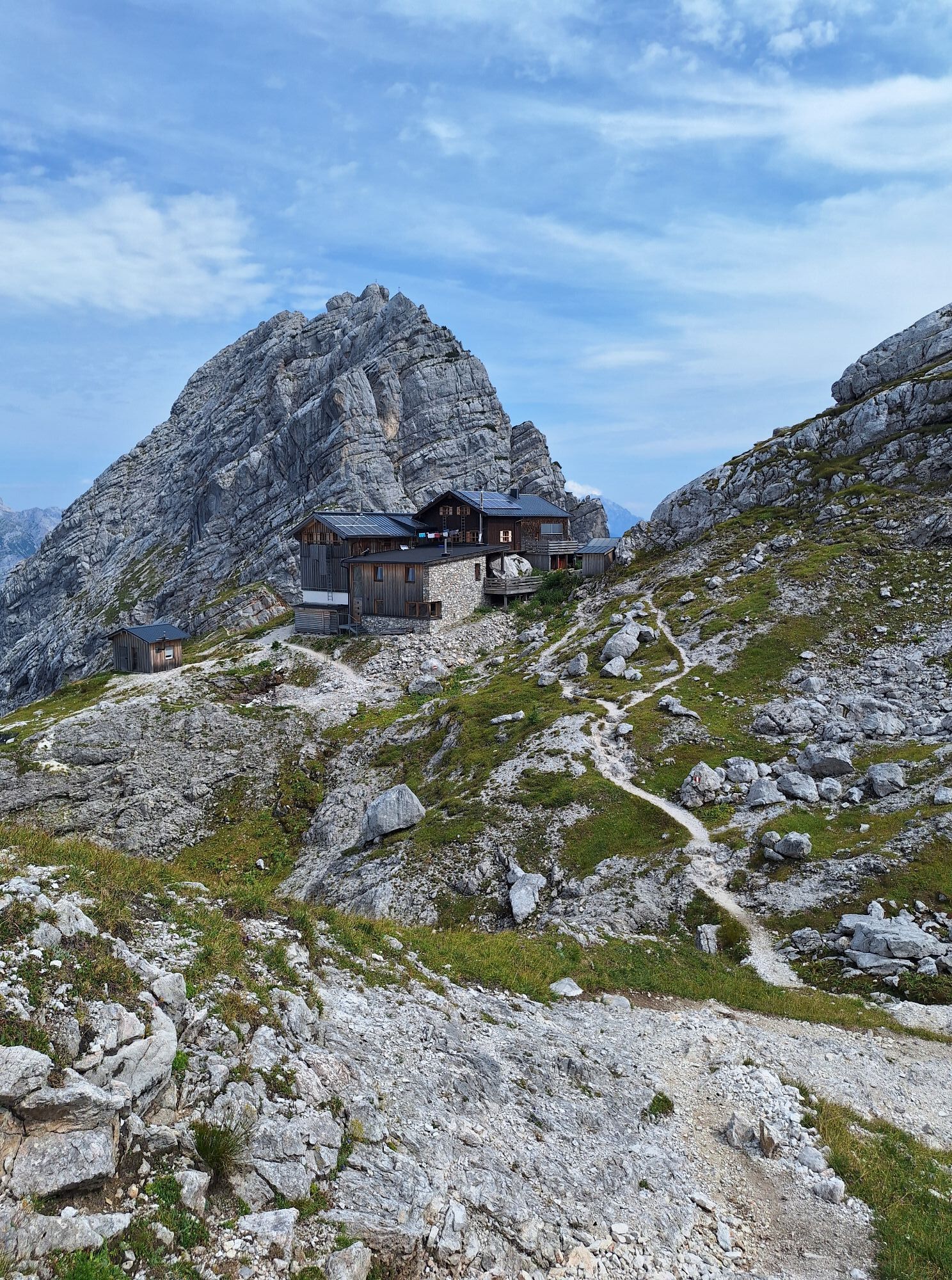
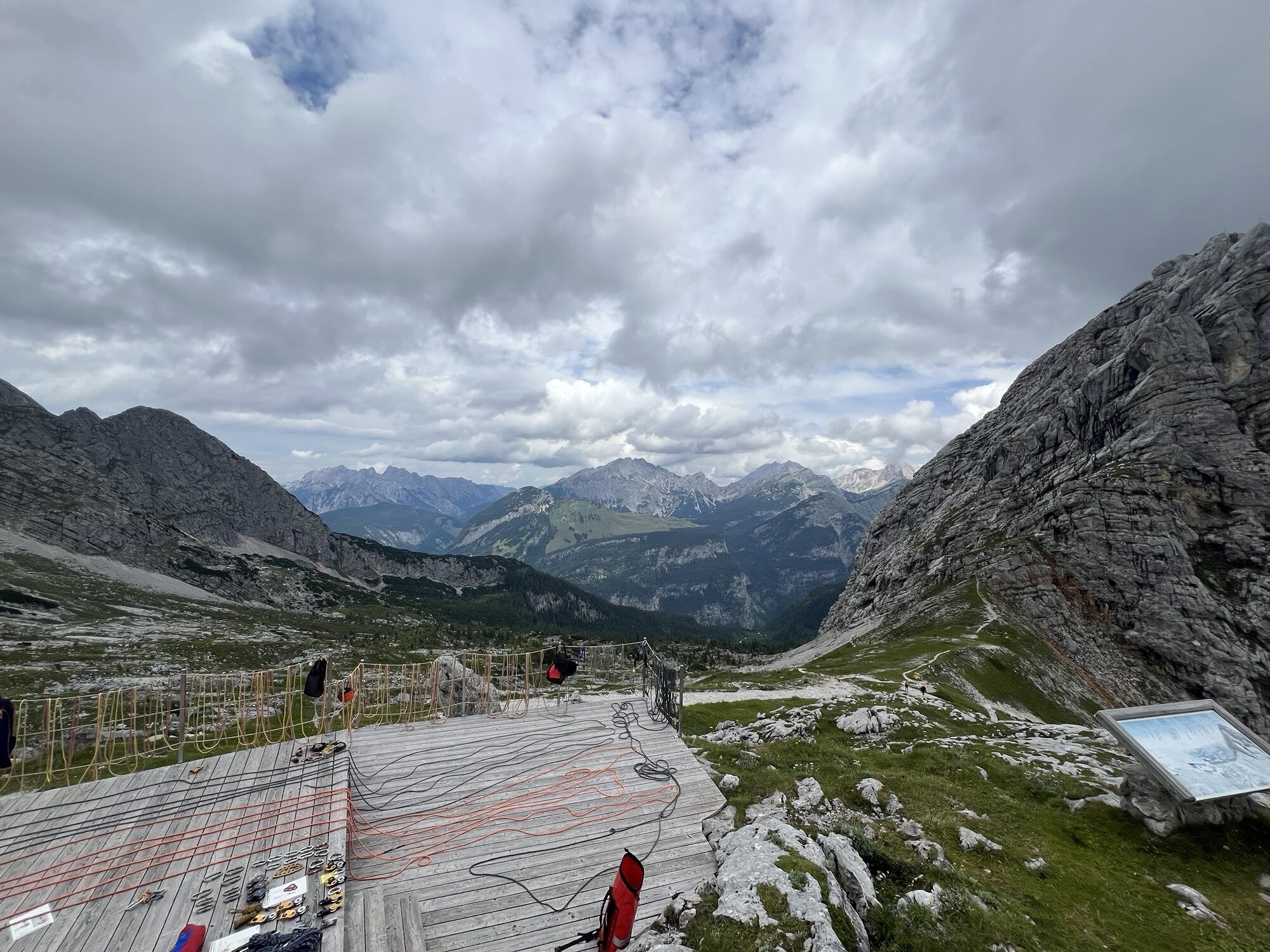
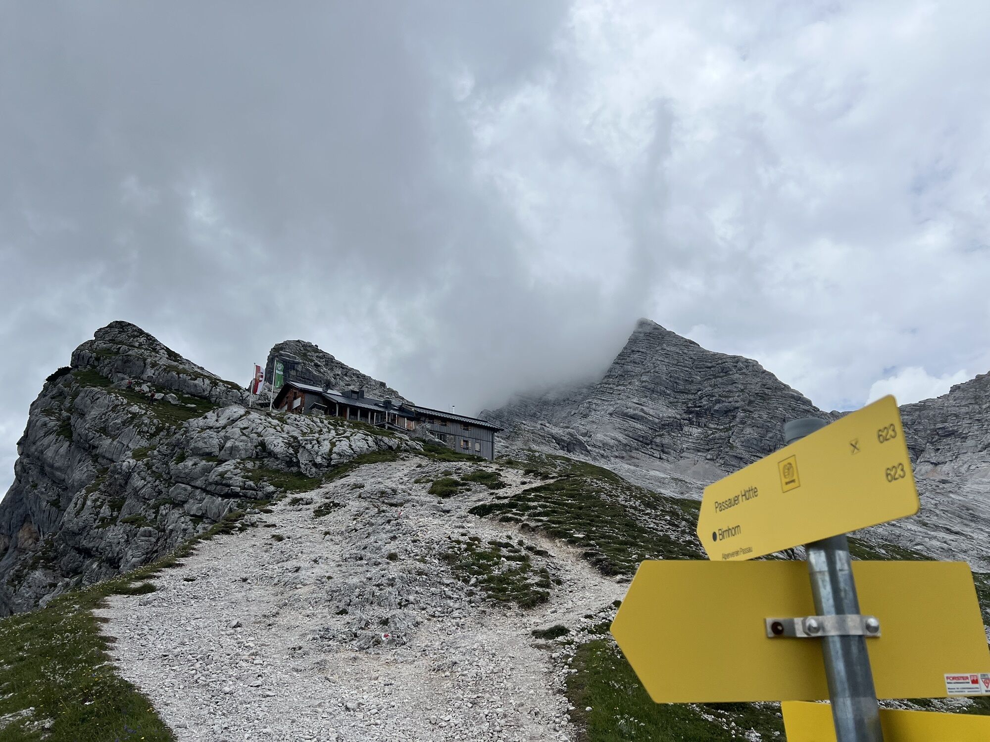
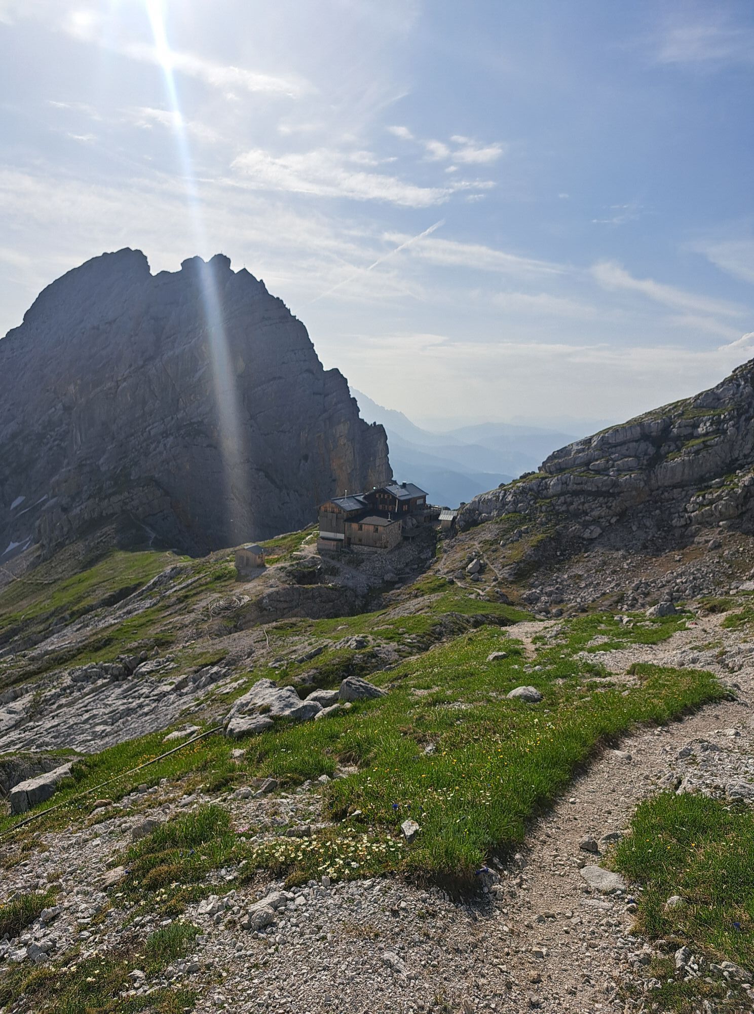
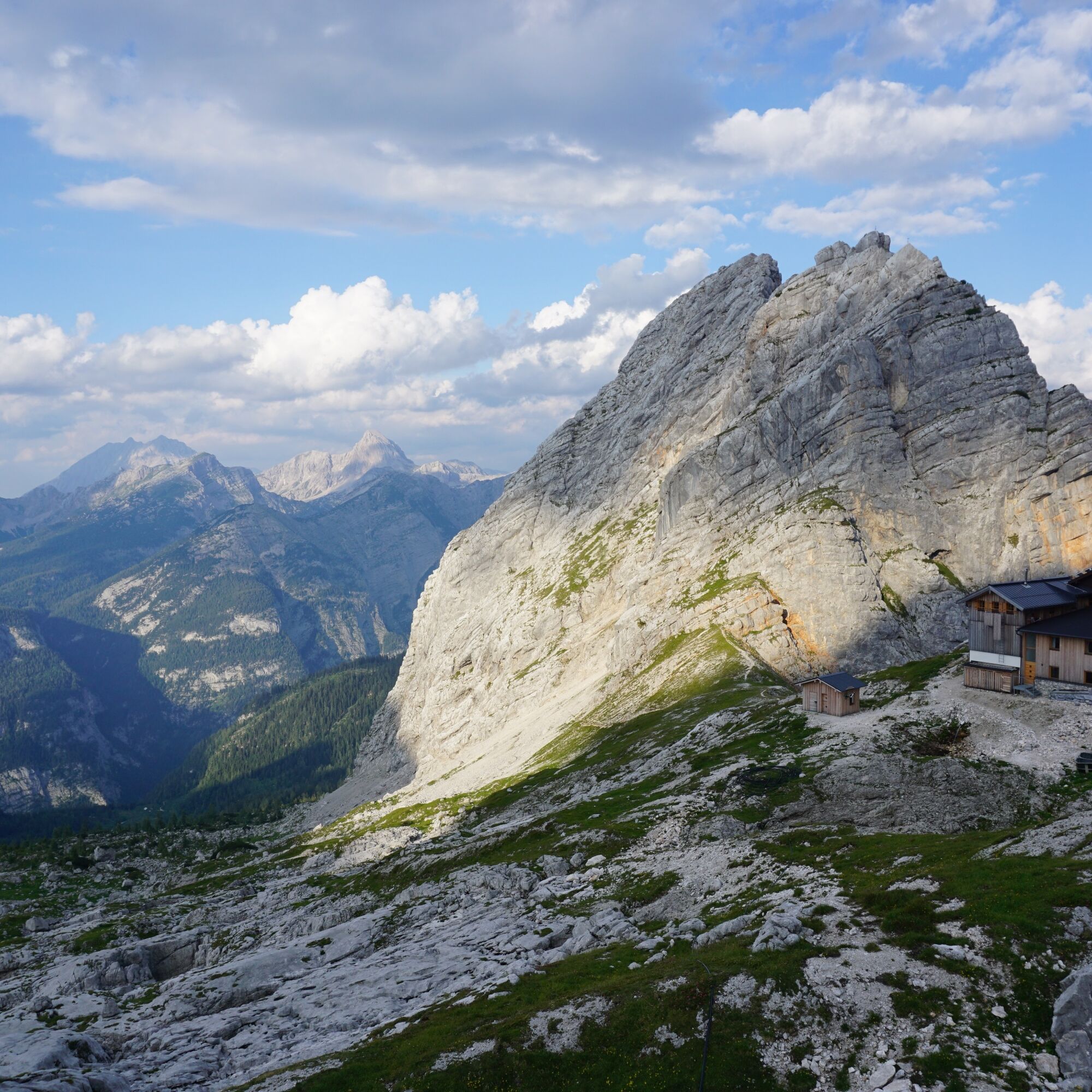
Passauerhütte with various summit options
Úroveň náročnosti: T4
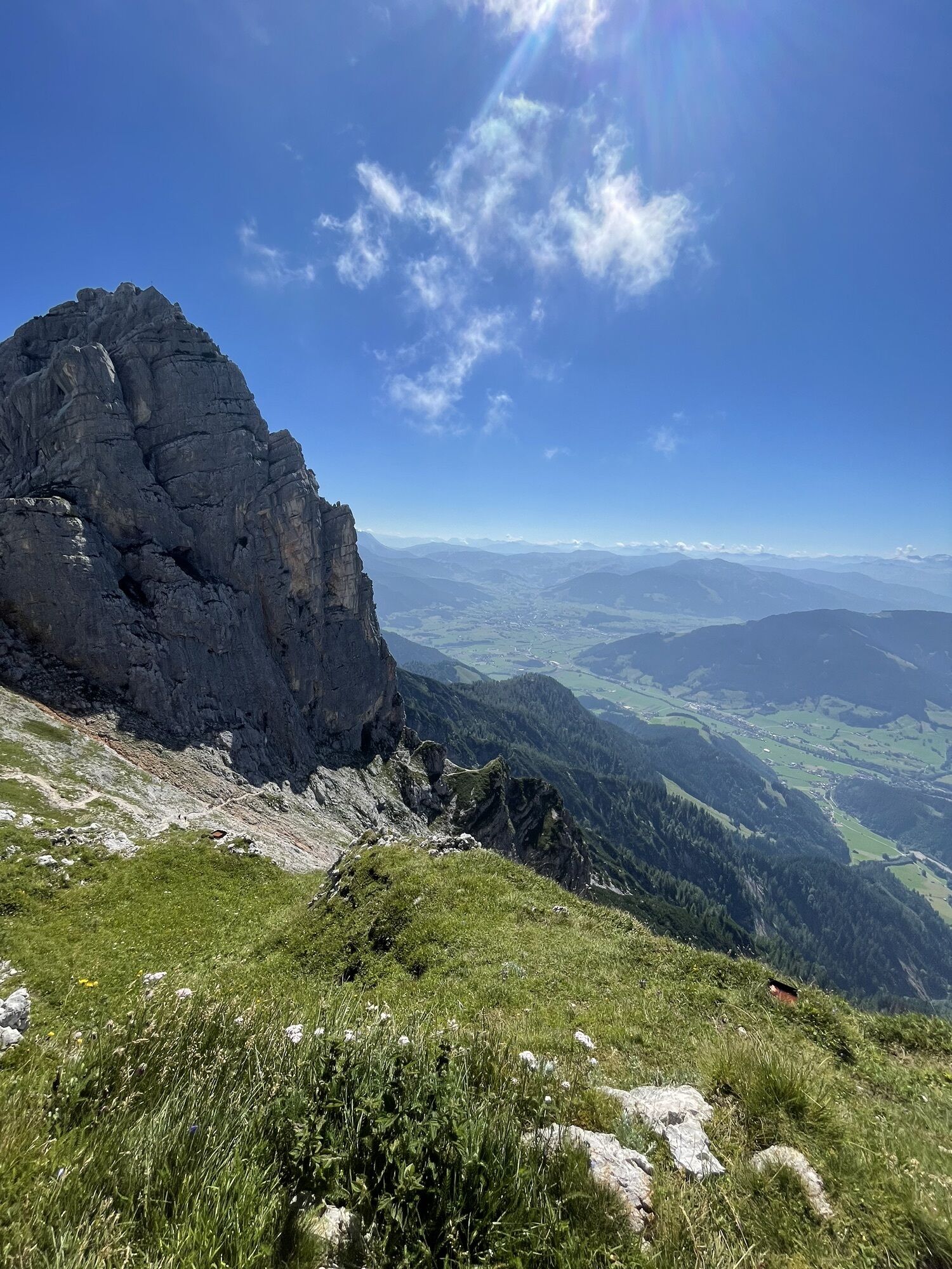
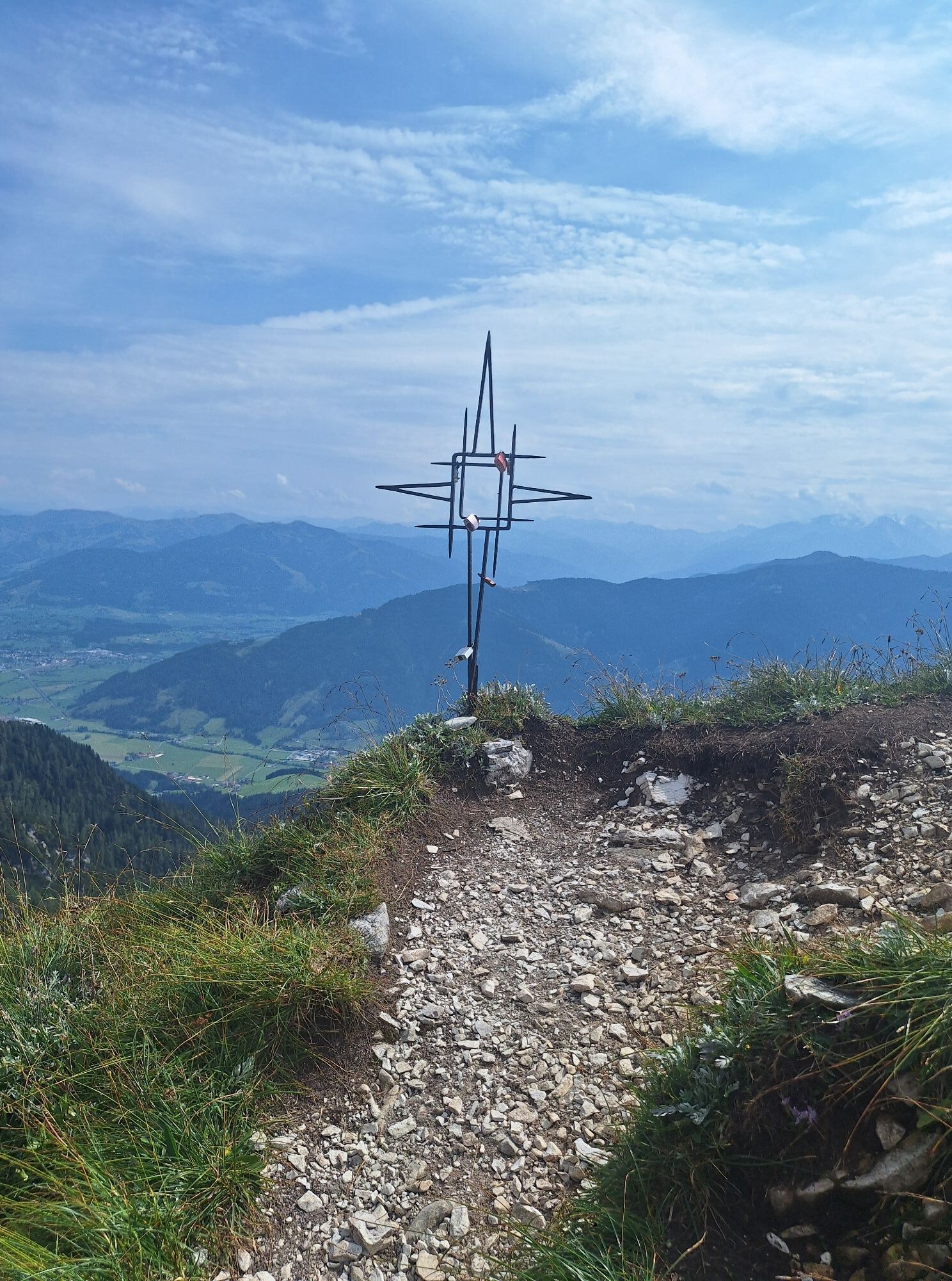
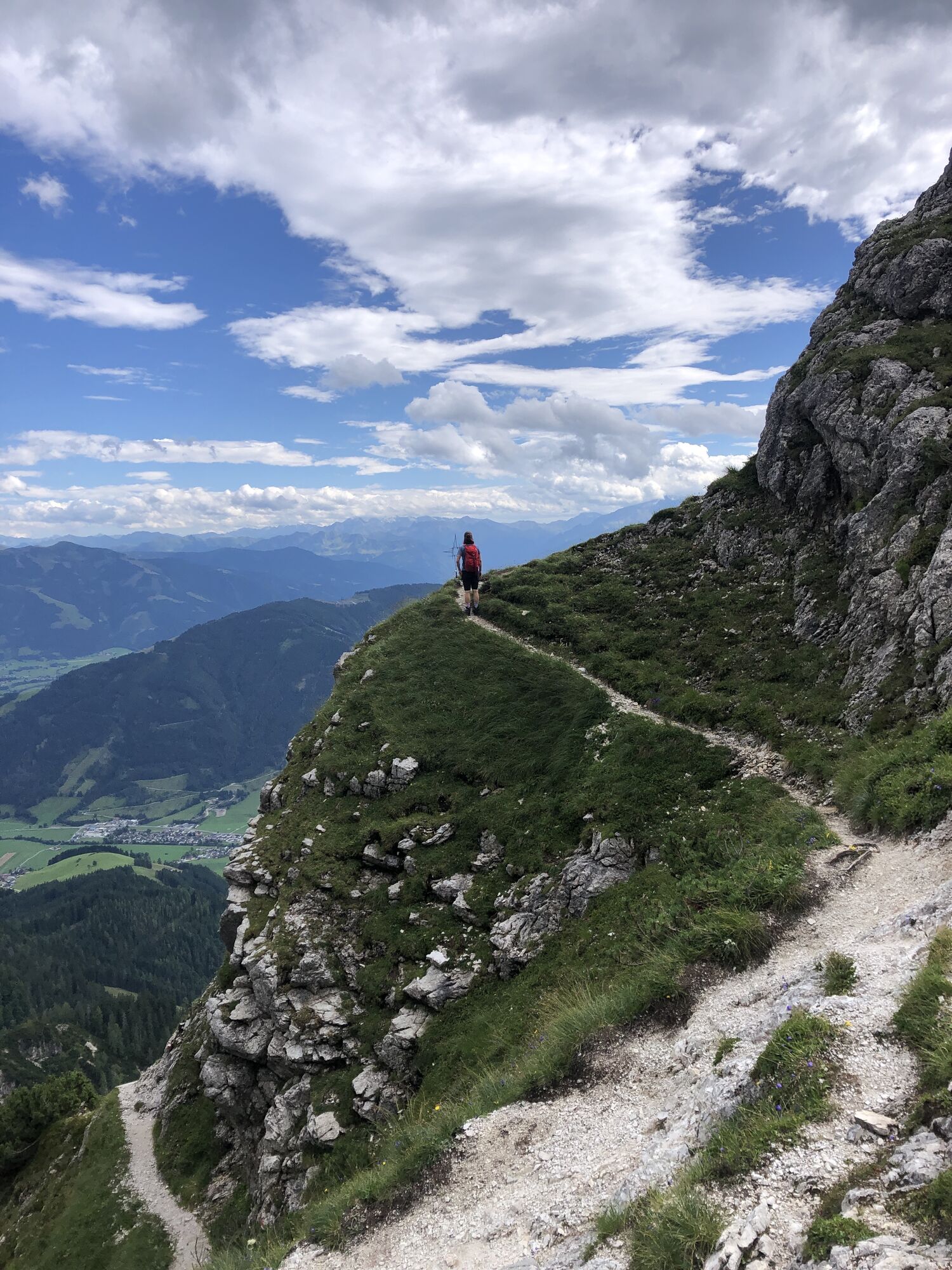
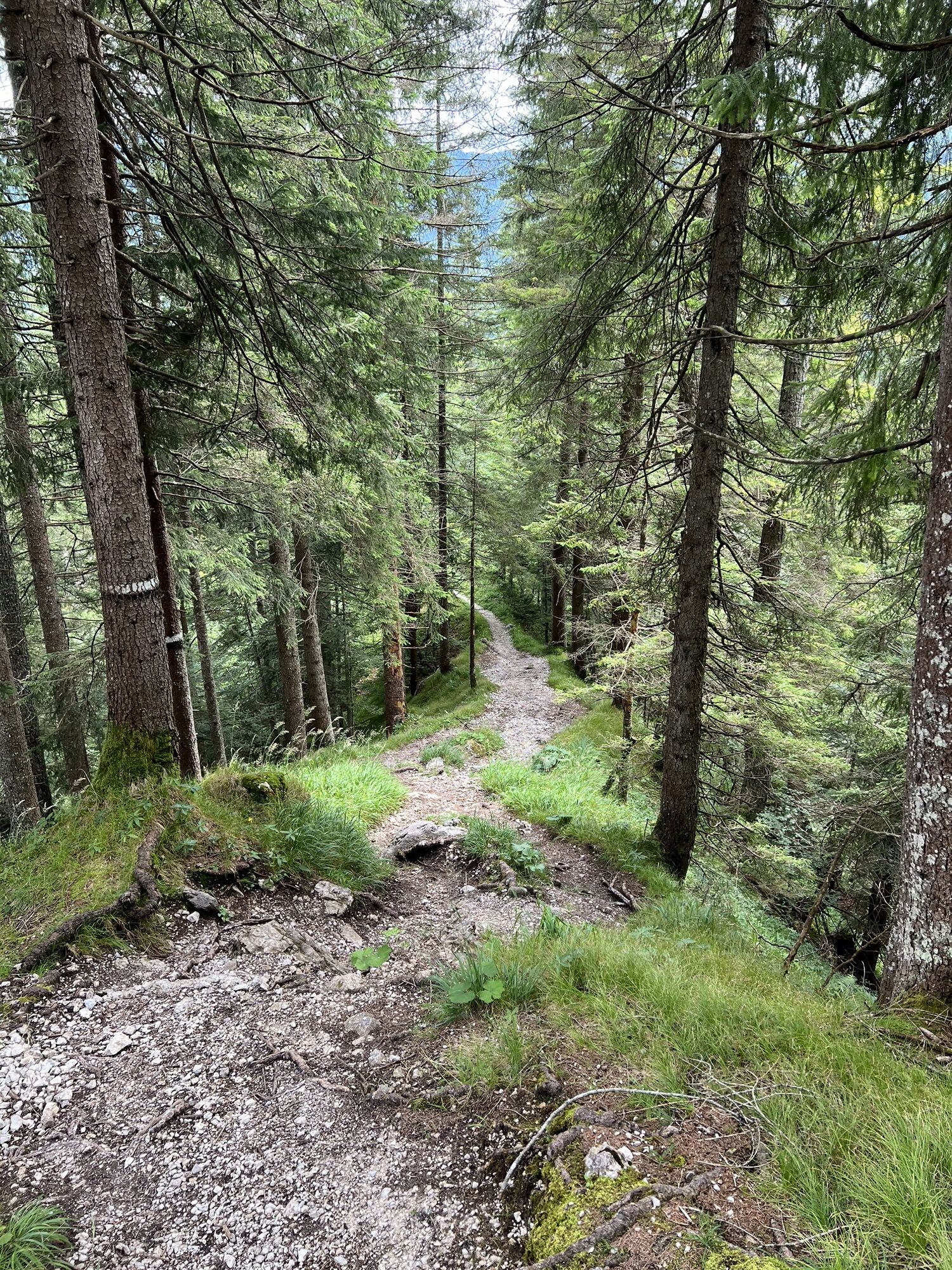
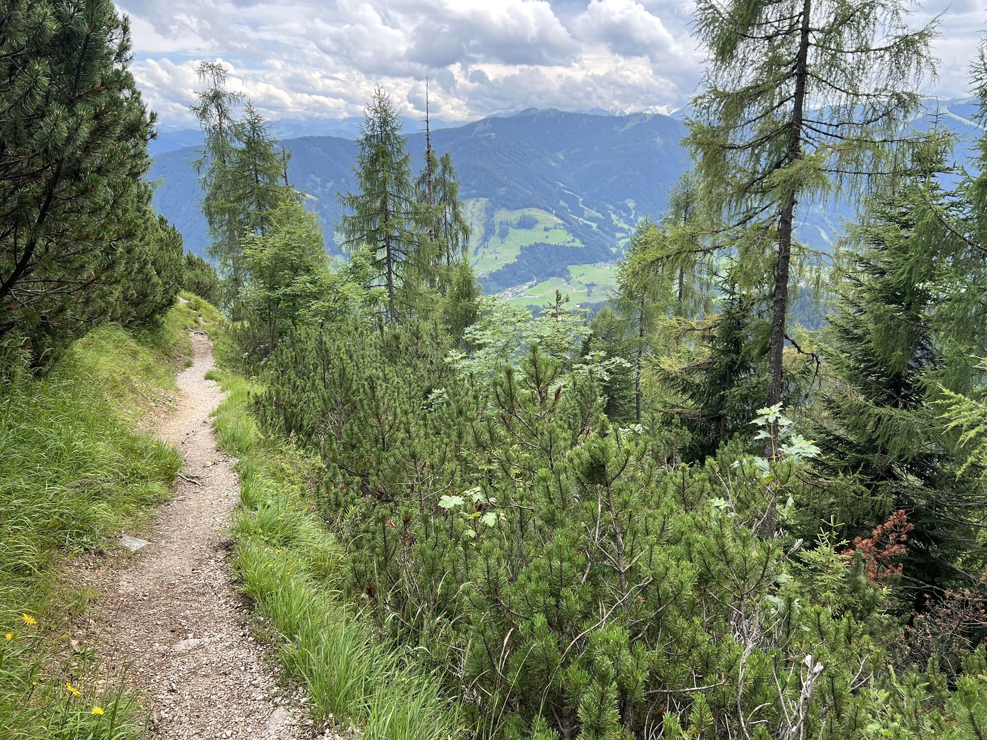
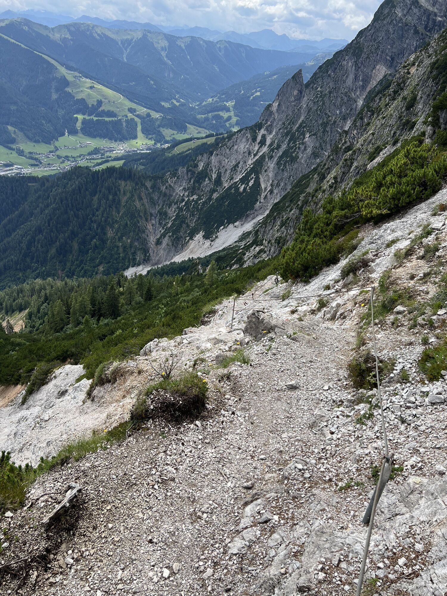
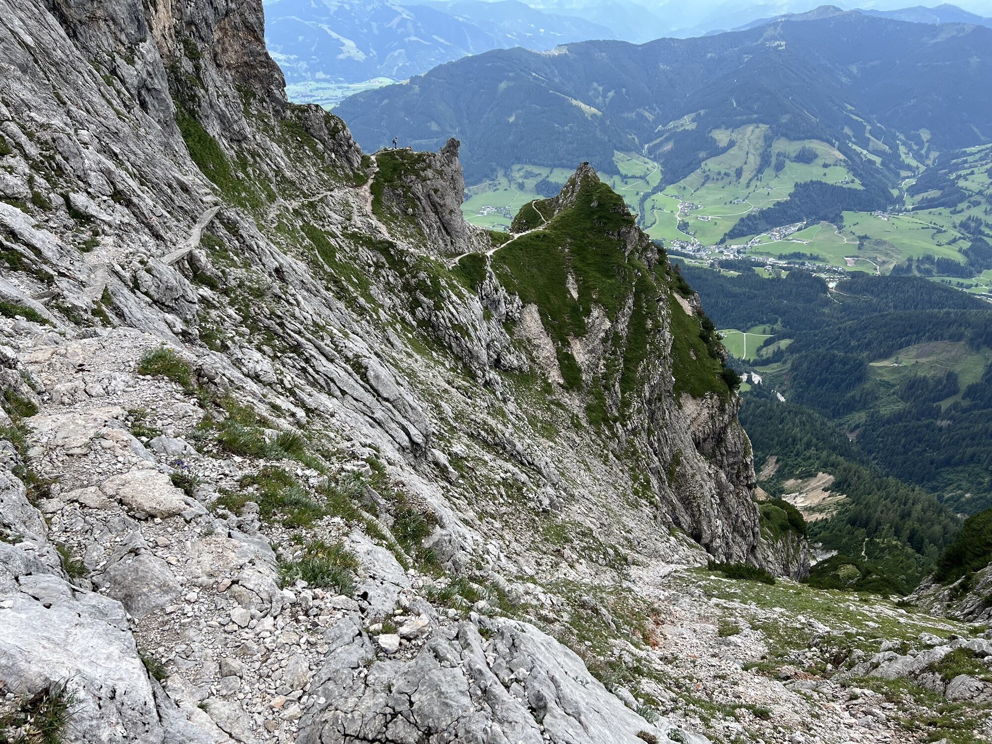


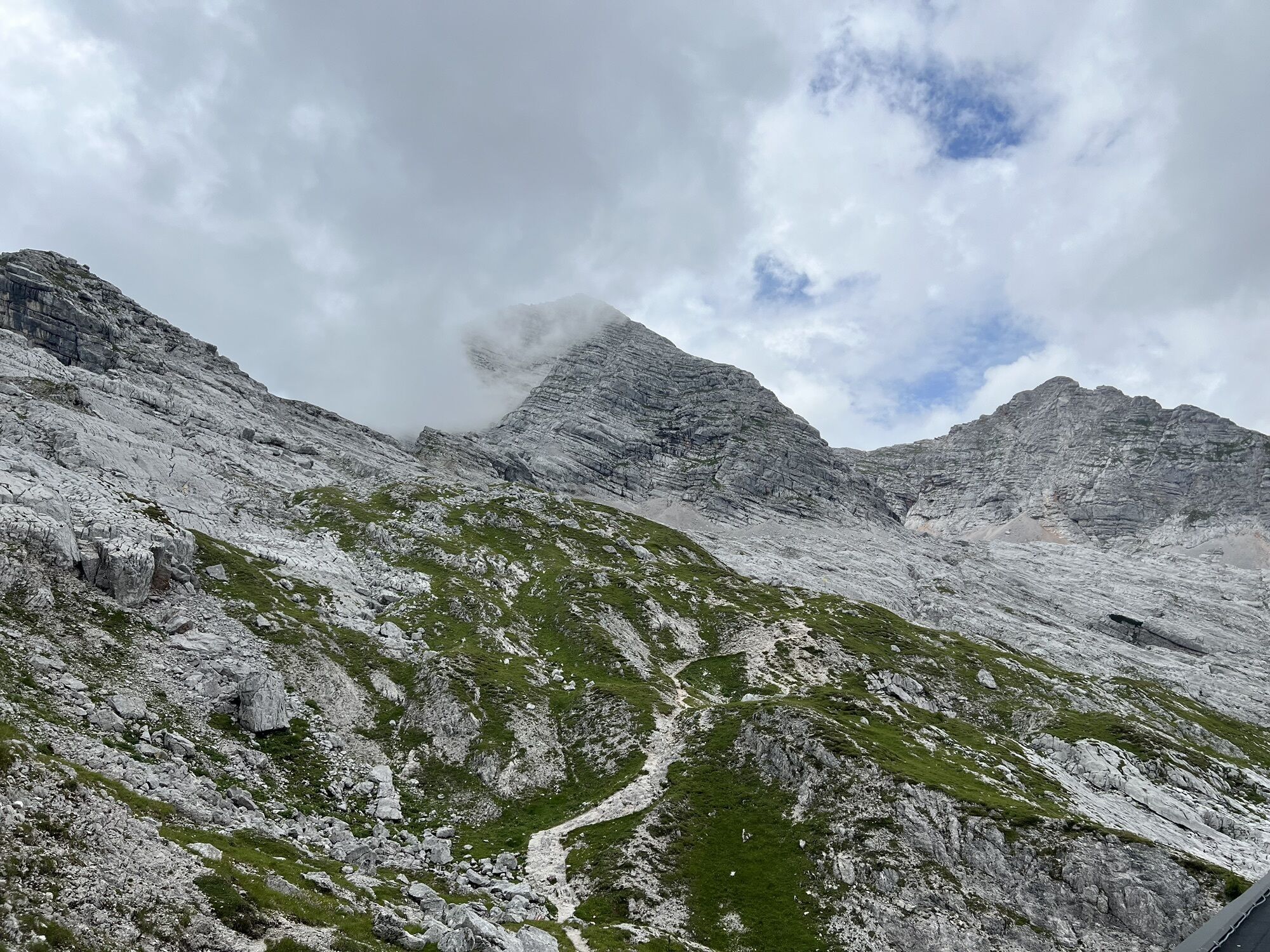
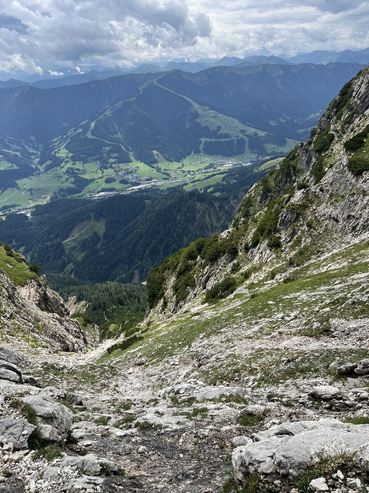
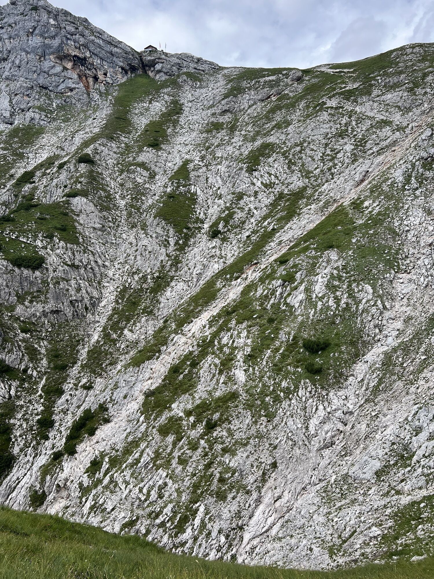
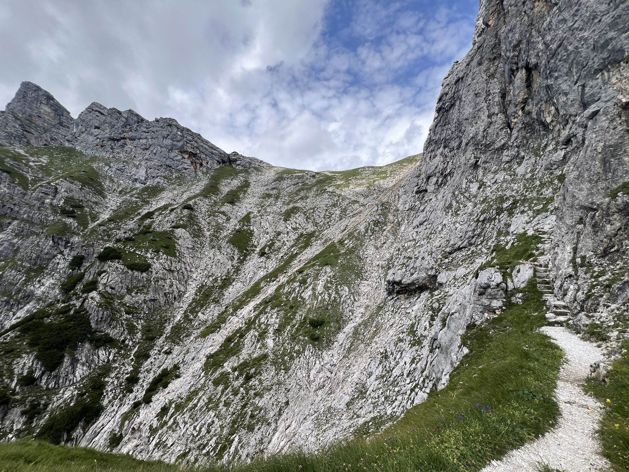
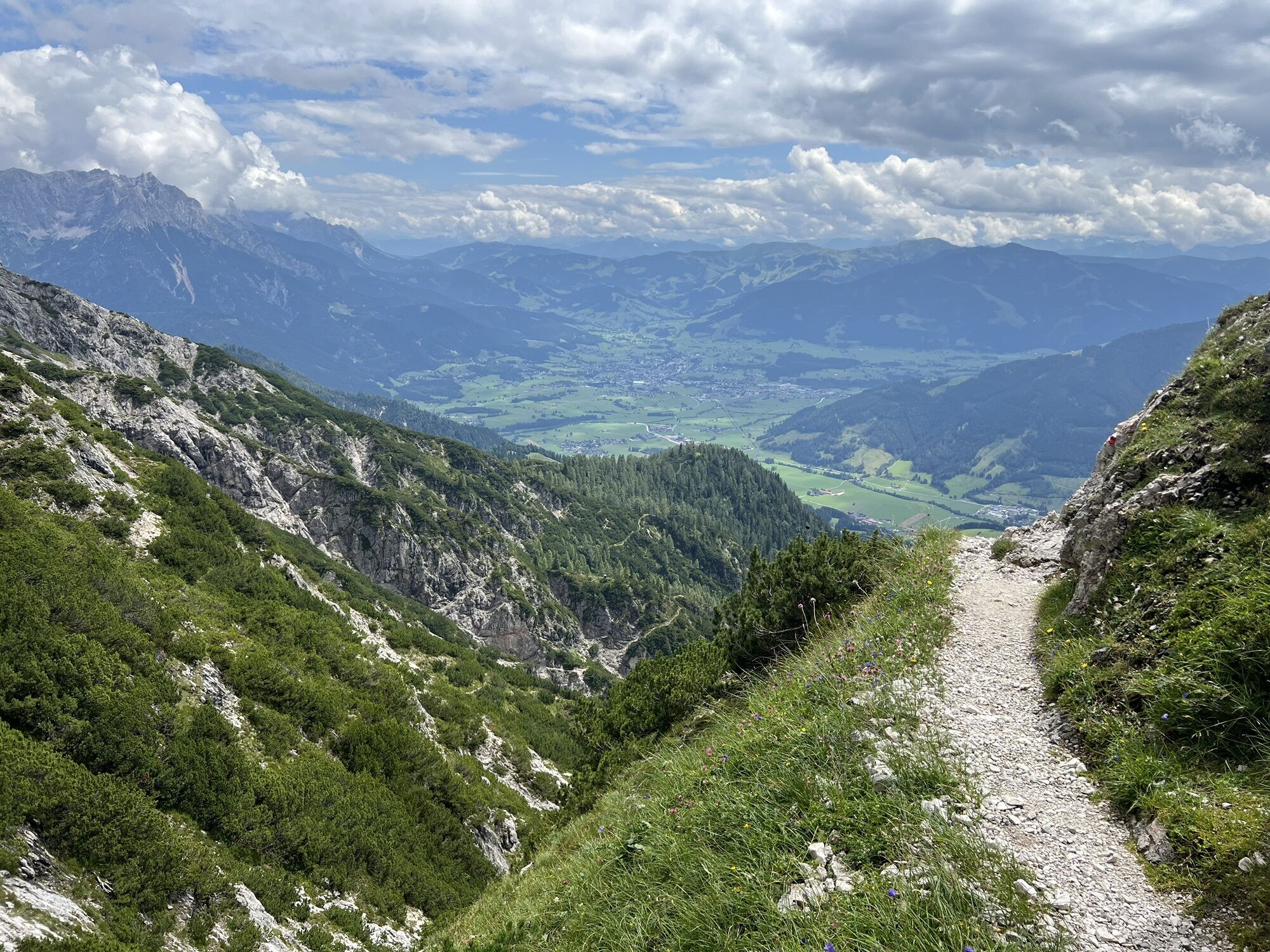
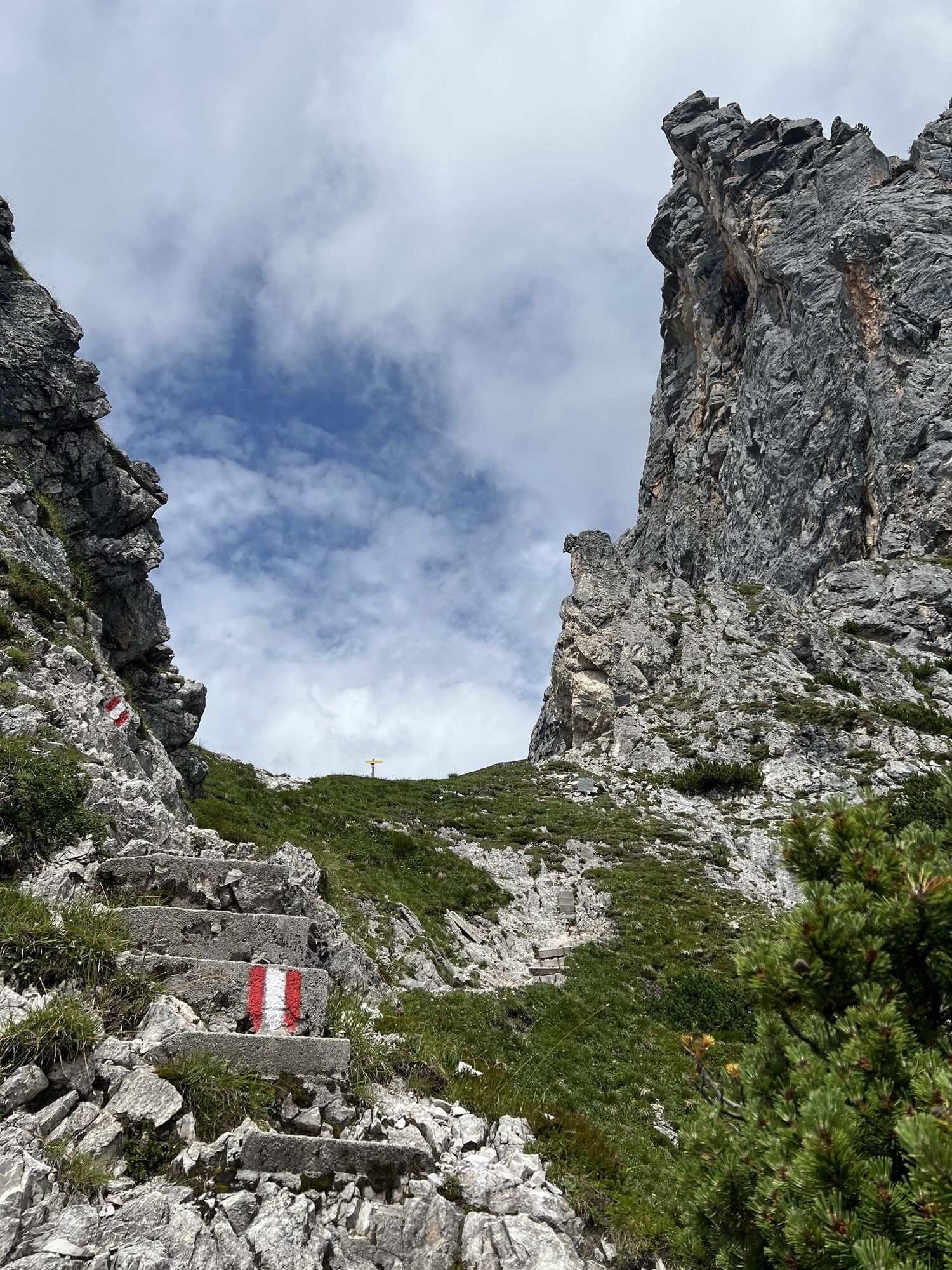
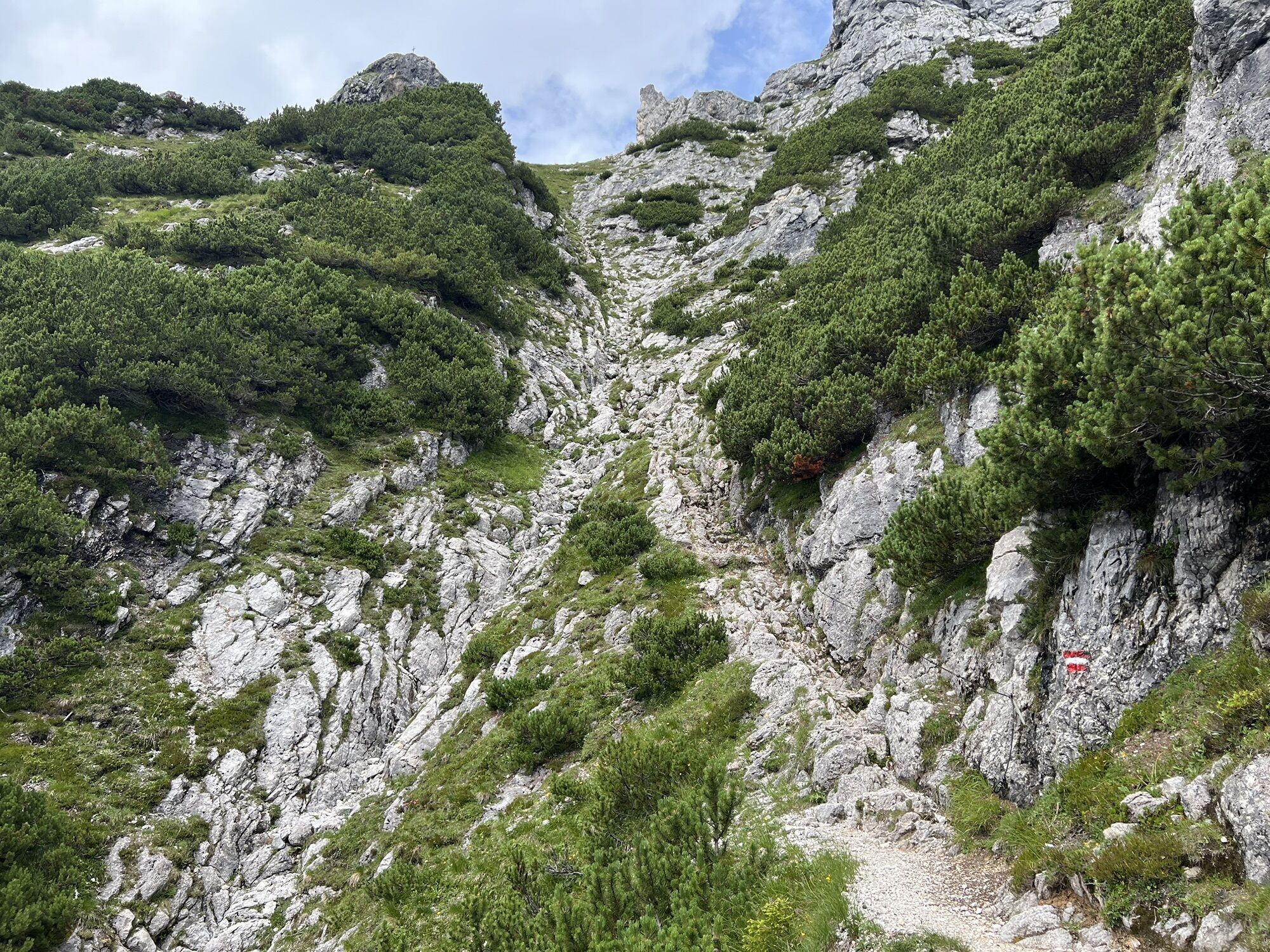
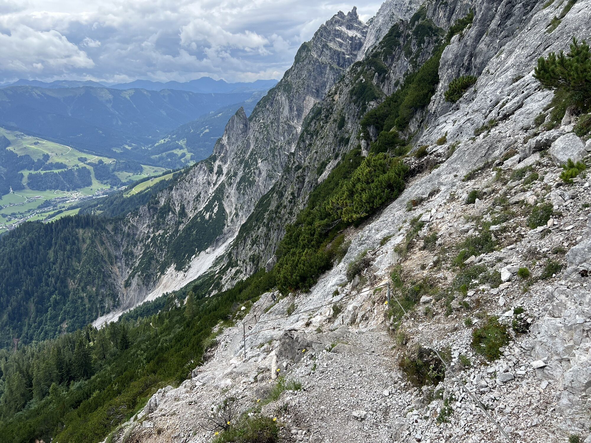
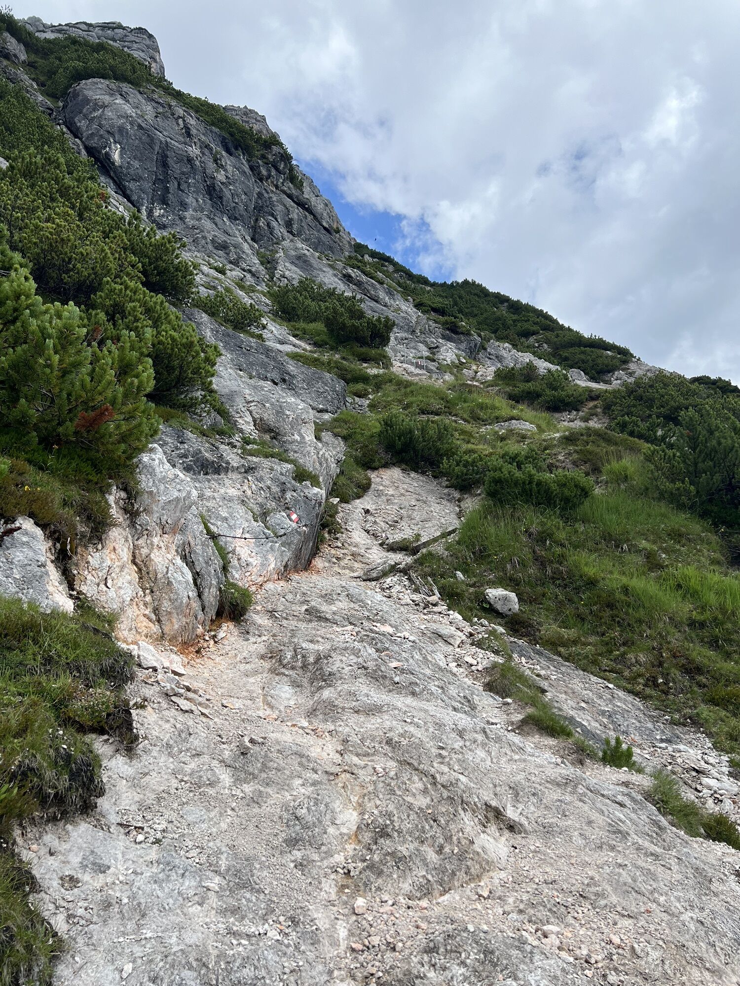

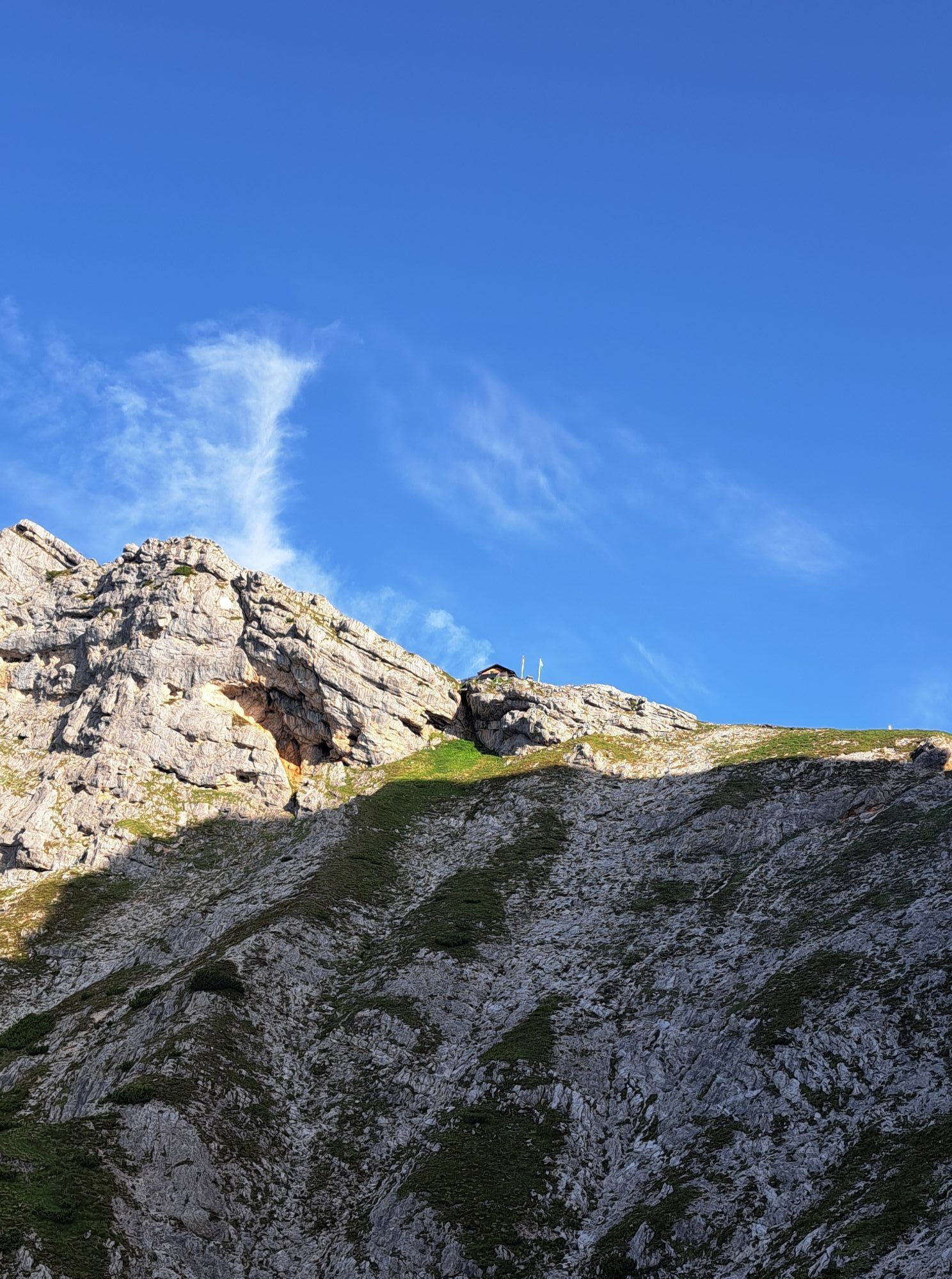

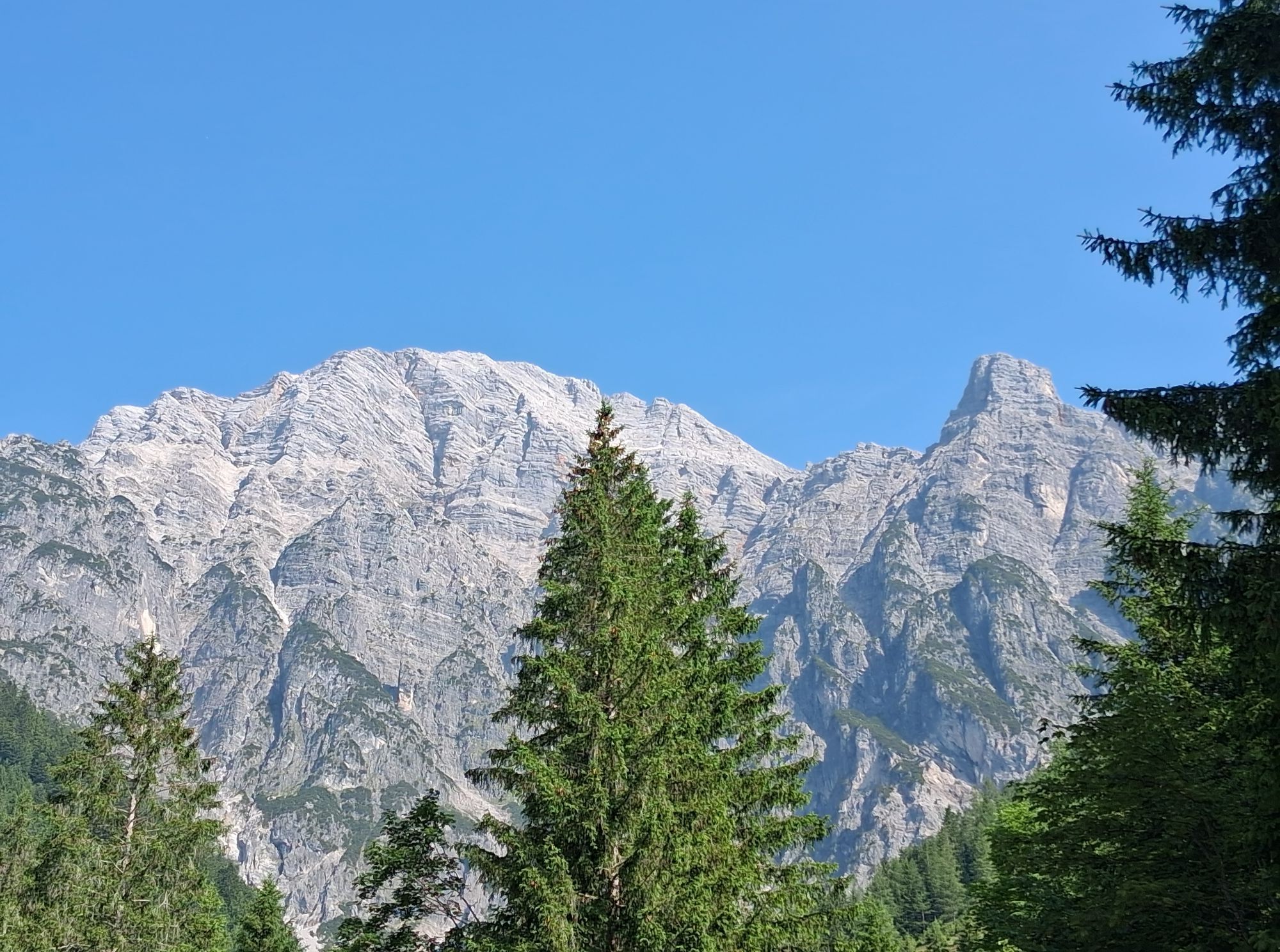


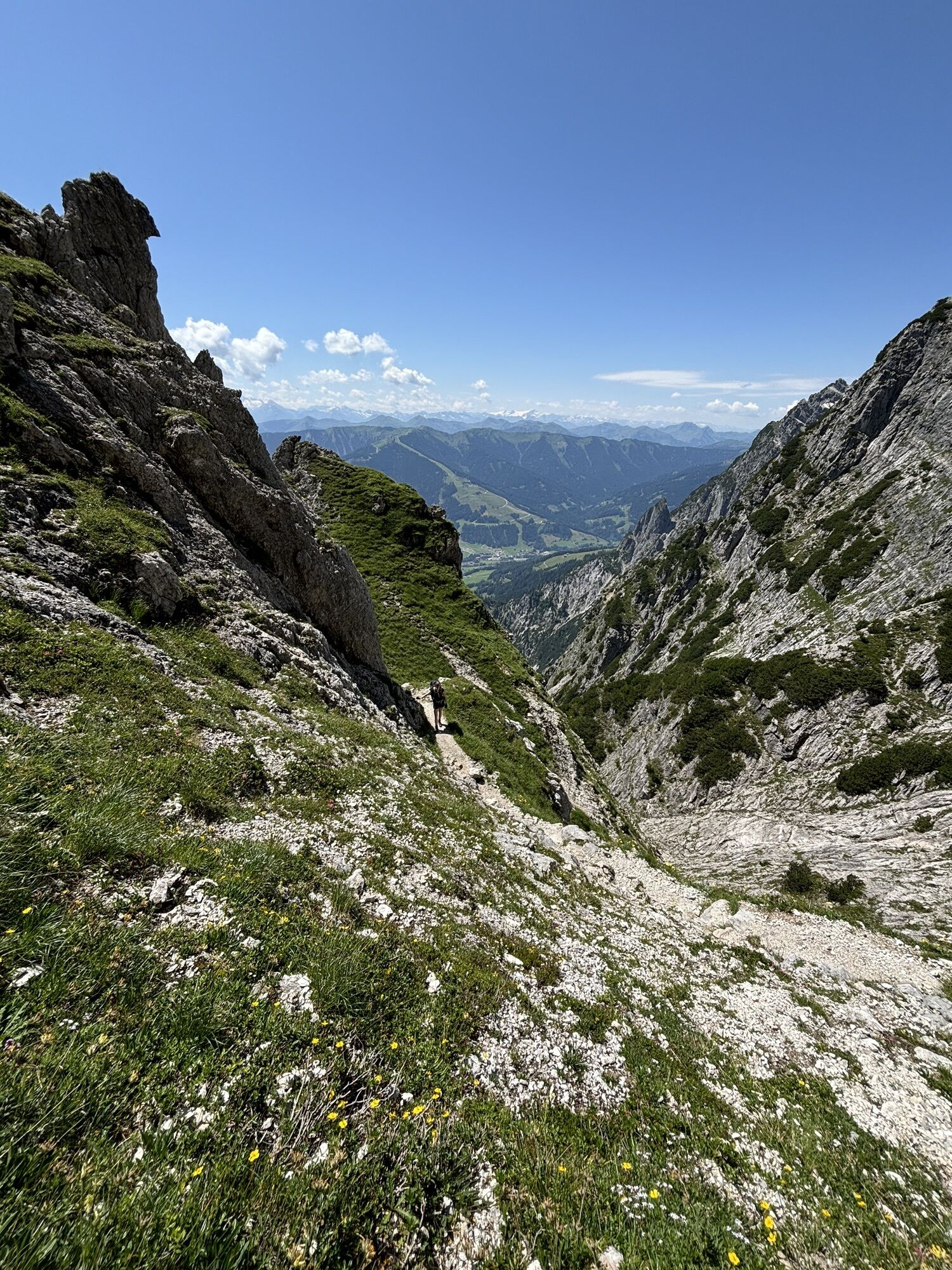
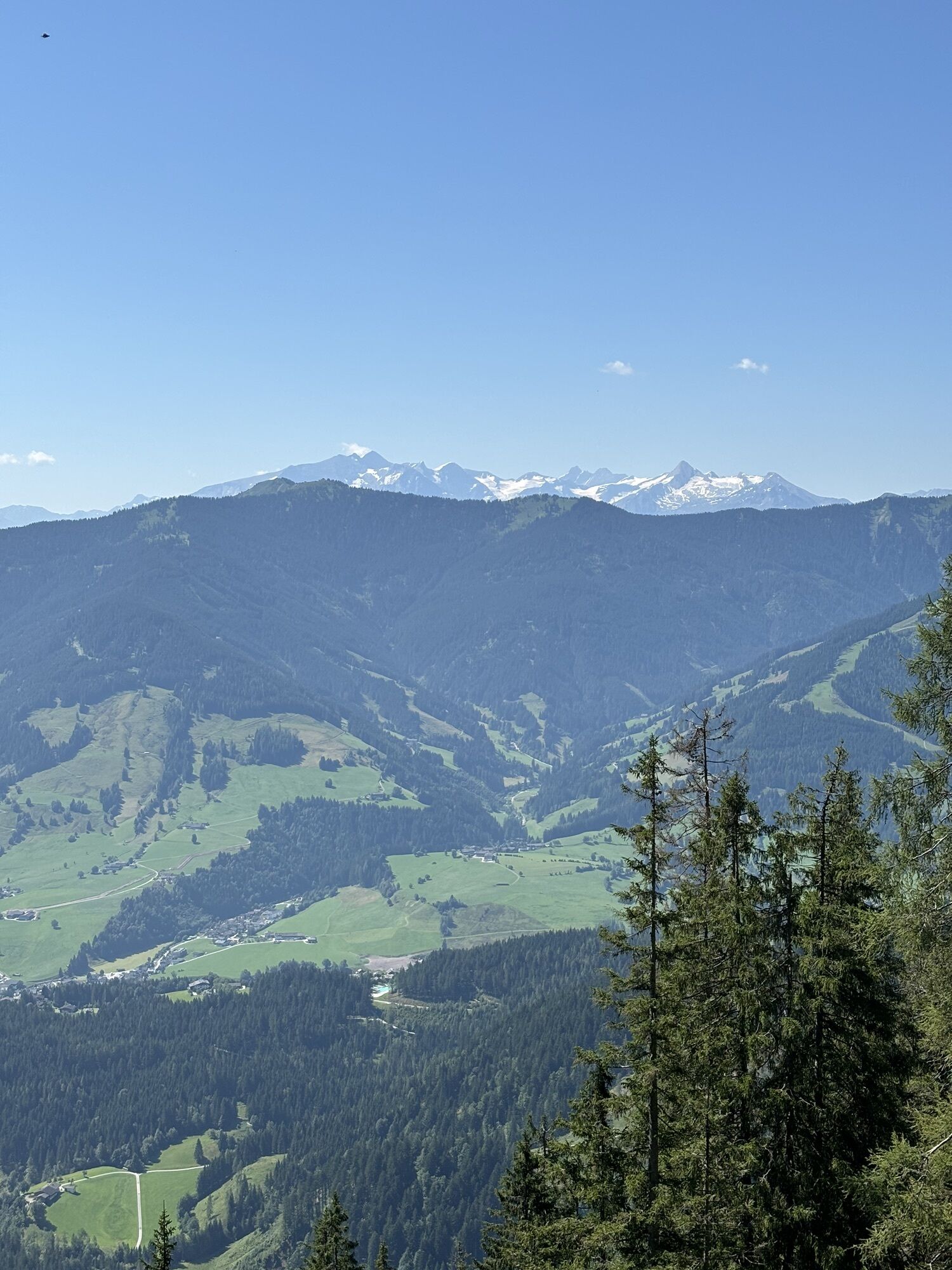

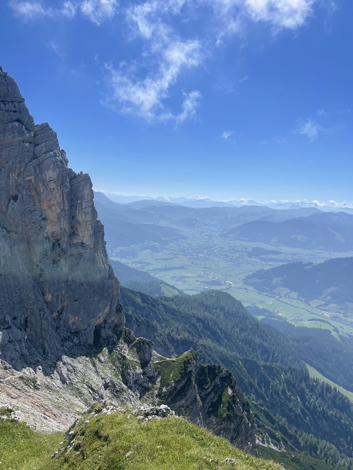
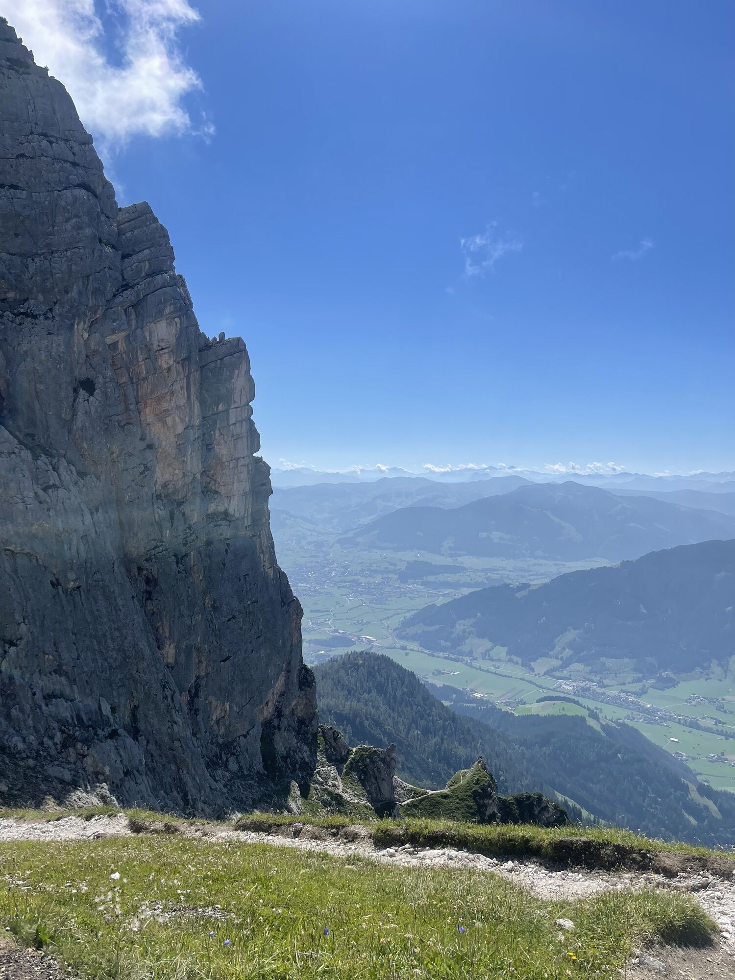
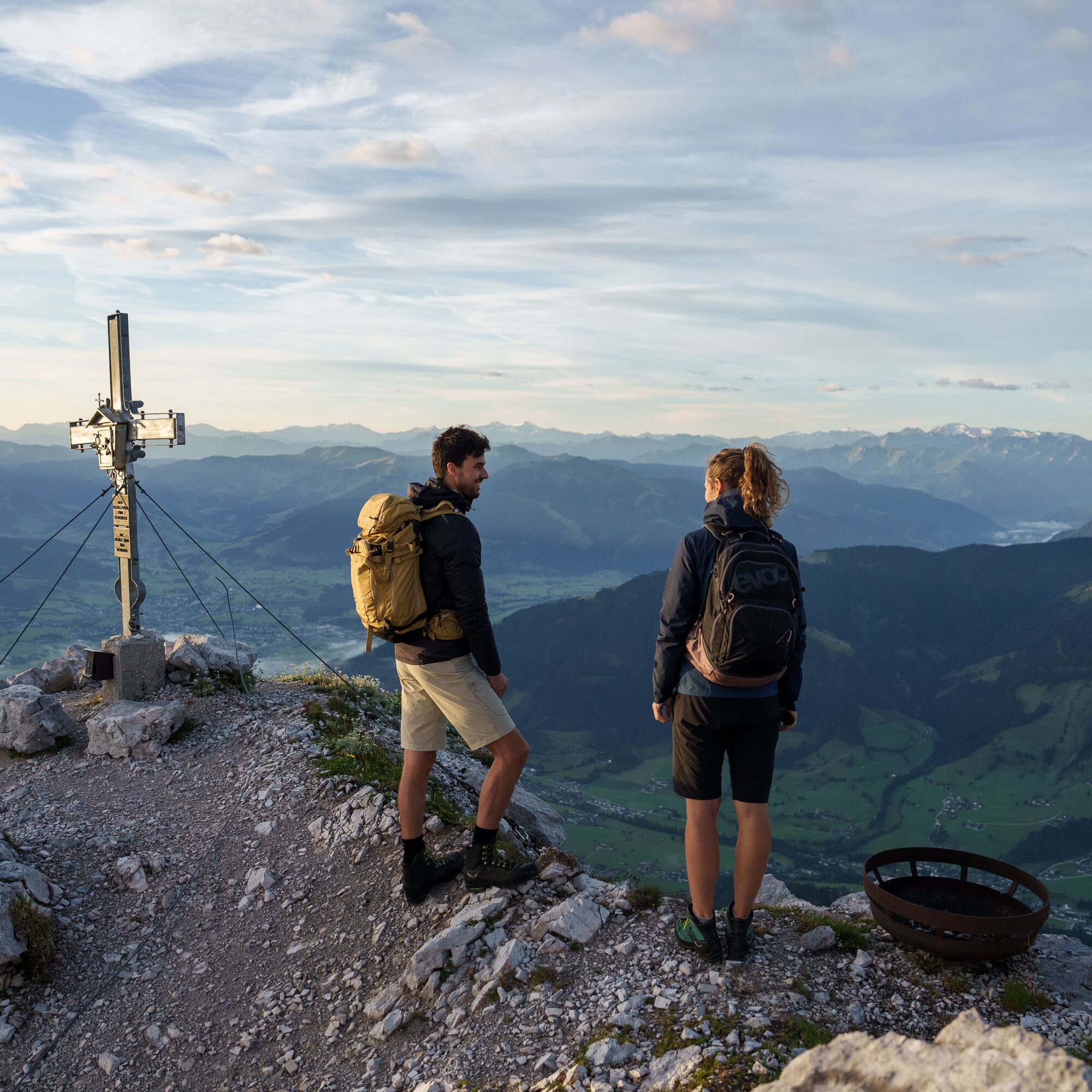
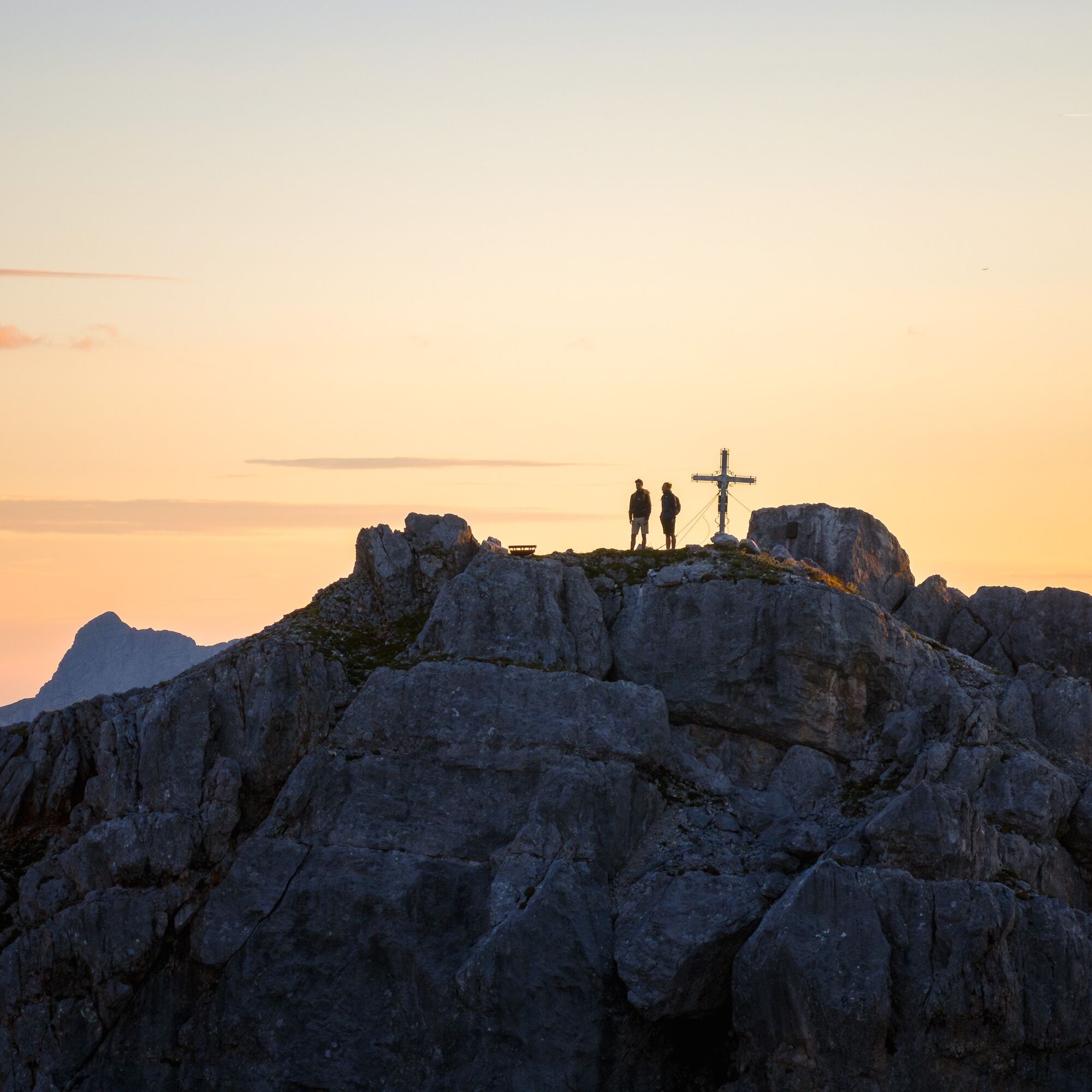
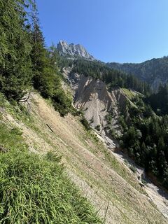
Challenging mountain hike to the summit of Hochzint from the Ullachtal, set in the midst of the magnificent Leoganger Steinberge. This tour is only suitable for sure-footed hikers with a head for heights...
Challenging mountain hike to the summit of Hochzint from the Ullachtal, set in the midst of the magnificent Leoganger Steinberge. This tour is only suitable for sure-footed hikers with a head for heights and good physical fitness.

Hiking boots, daypack, map material
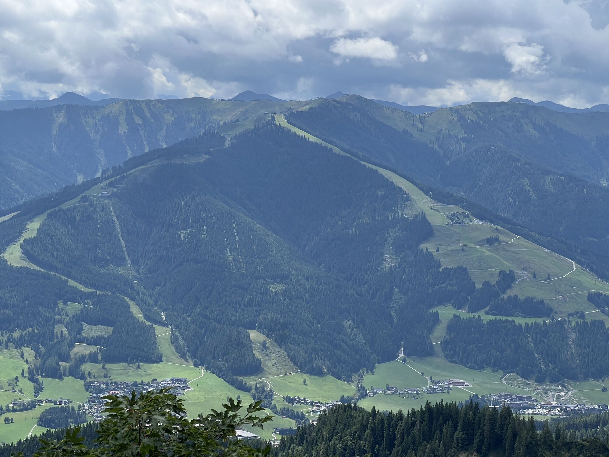
From Kitzbühel or Saalfelden to Leogang, in the town near the church there is a junction to the north towards Ullach (Passauerhütte sign), follow the signs to the Passauerhütte car park.
BY TRAIN
You can enjoy your holiday from the start by train. No traffic jam can stop you from coming to Saalfelden Leogang! Furthermore, the ÖBB timetable helps you quickly and easily find the ideal train connection to the "Leogang Steinberge" station: www.oebb.at (about 30 minutes walk to the starting point)
BY BUS
The starting point at the Ullachtal car park can be reached by Postbus 690 (Line: Saalfelden - Leogang - Hochfilzen - Fieberbrunn - St. Johann i.T.) from Saalfelden or Leogang. From the "Leogang town centre" stop, the starting point of the hike can be reached on foot in 40 minutes. More information is available at https://fahrplan.salzburg-verkehr.at/
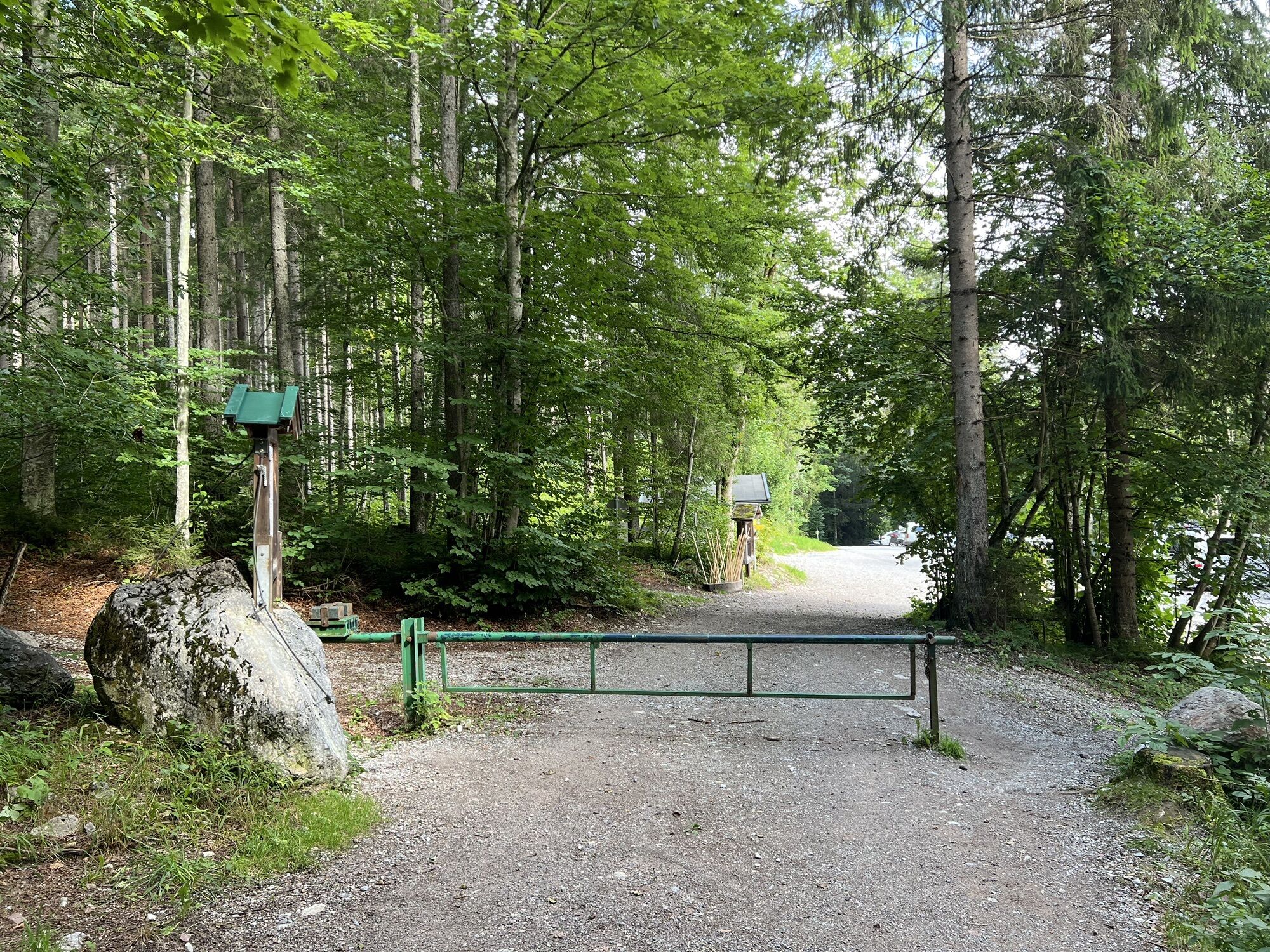
Leogang car park Ullachgraben
T4
Refreshment option: Passauerhütte
www.berg-abenteuer.at
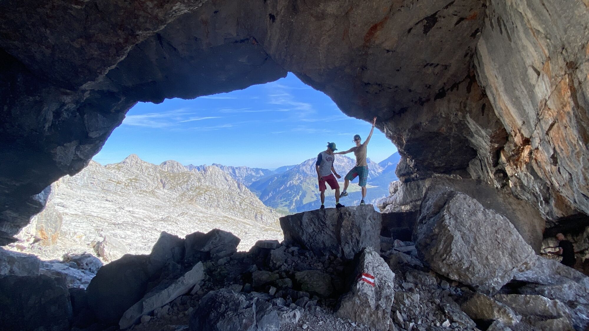
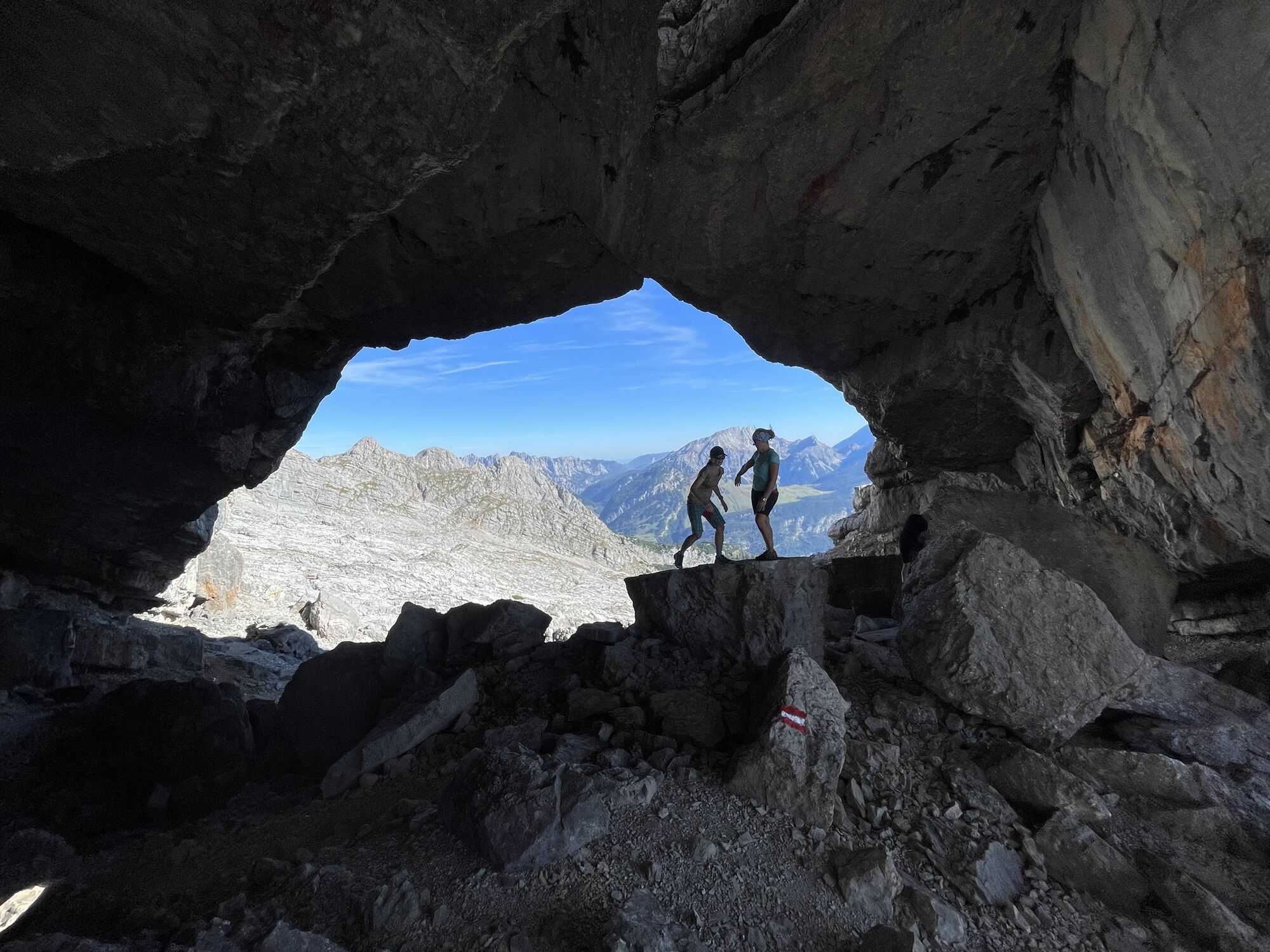
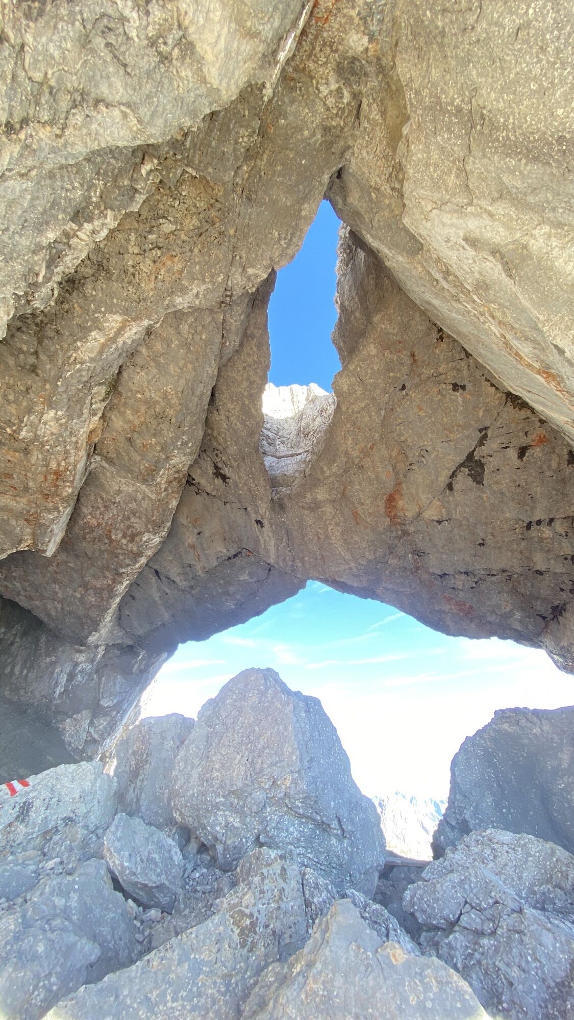
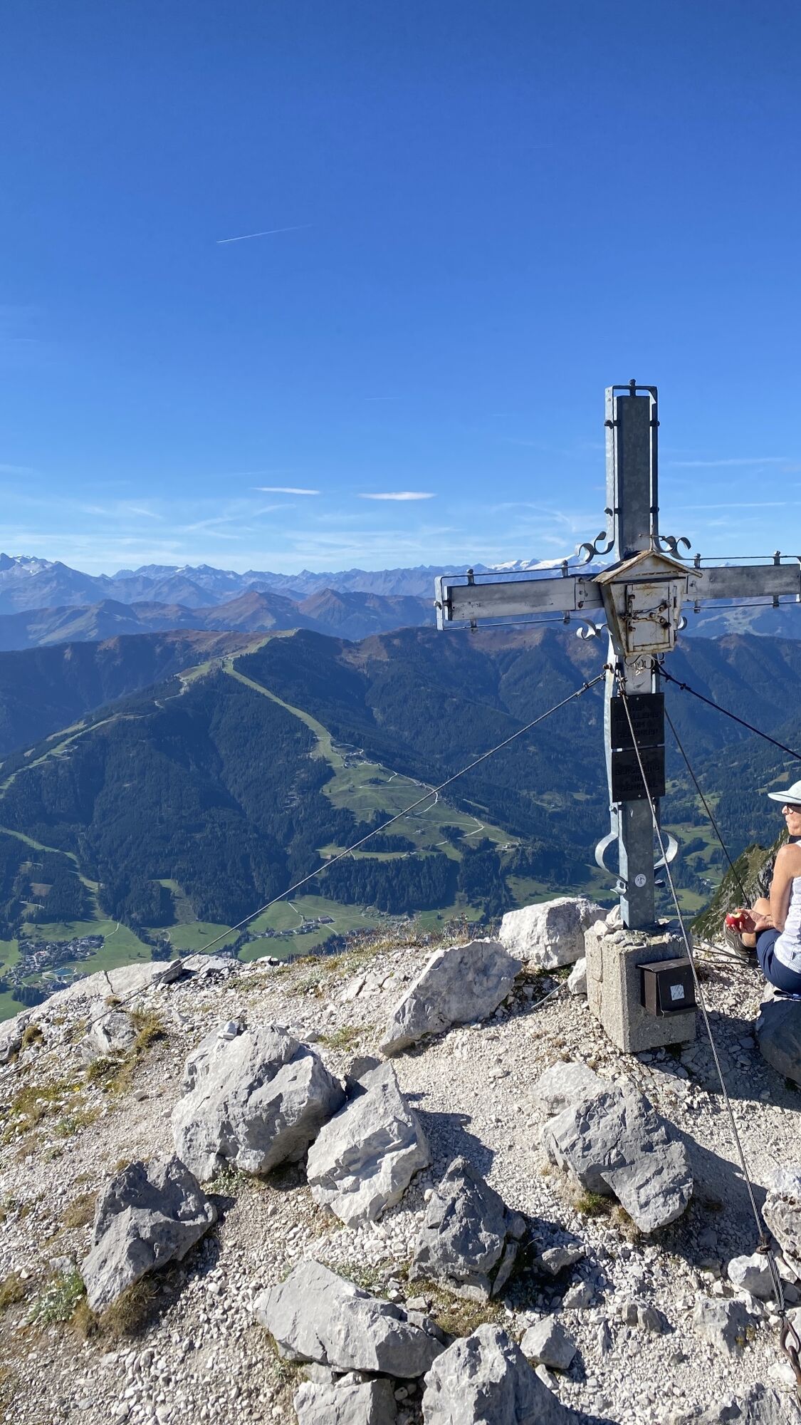
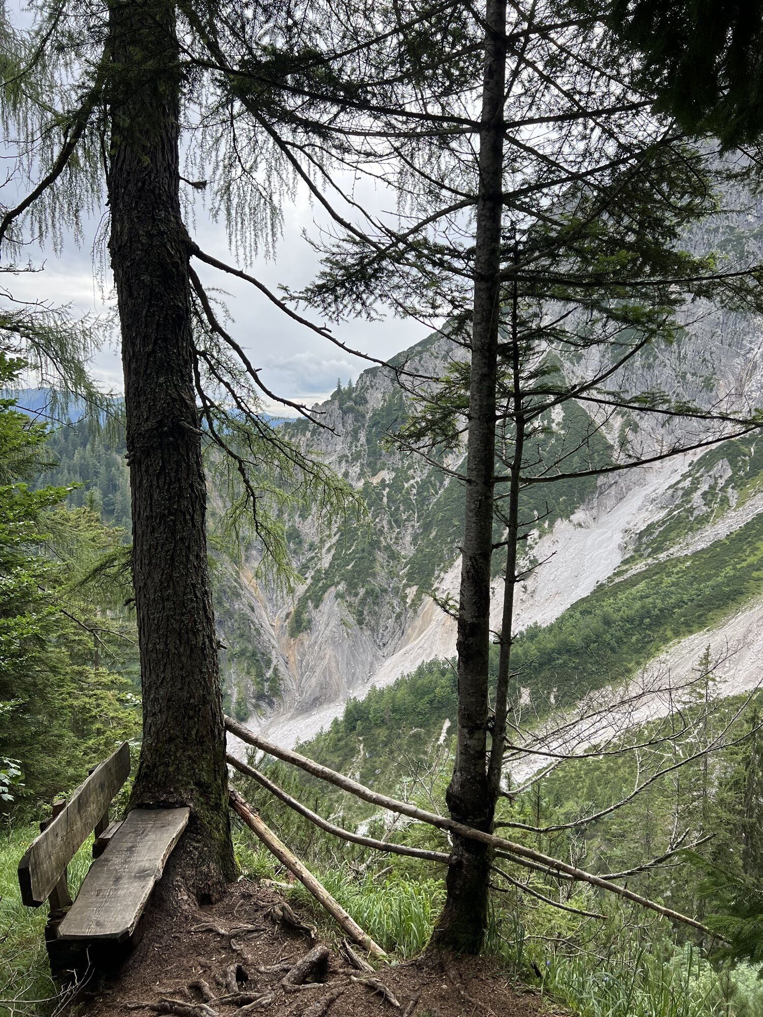
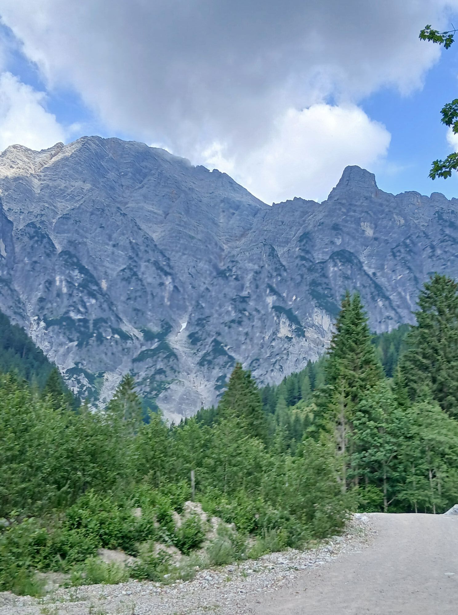
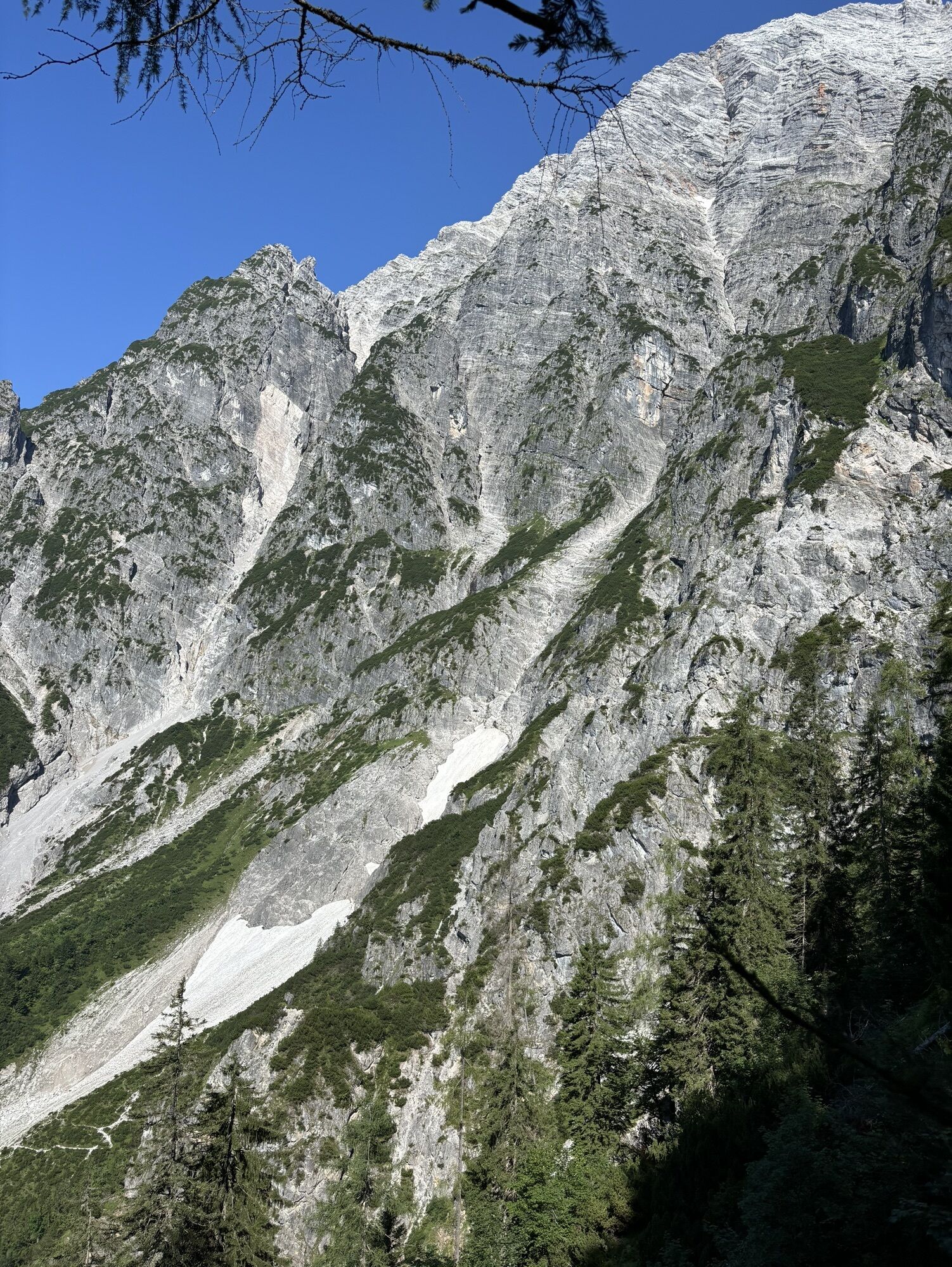
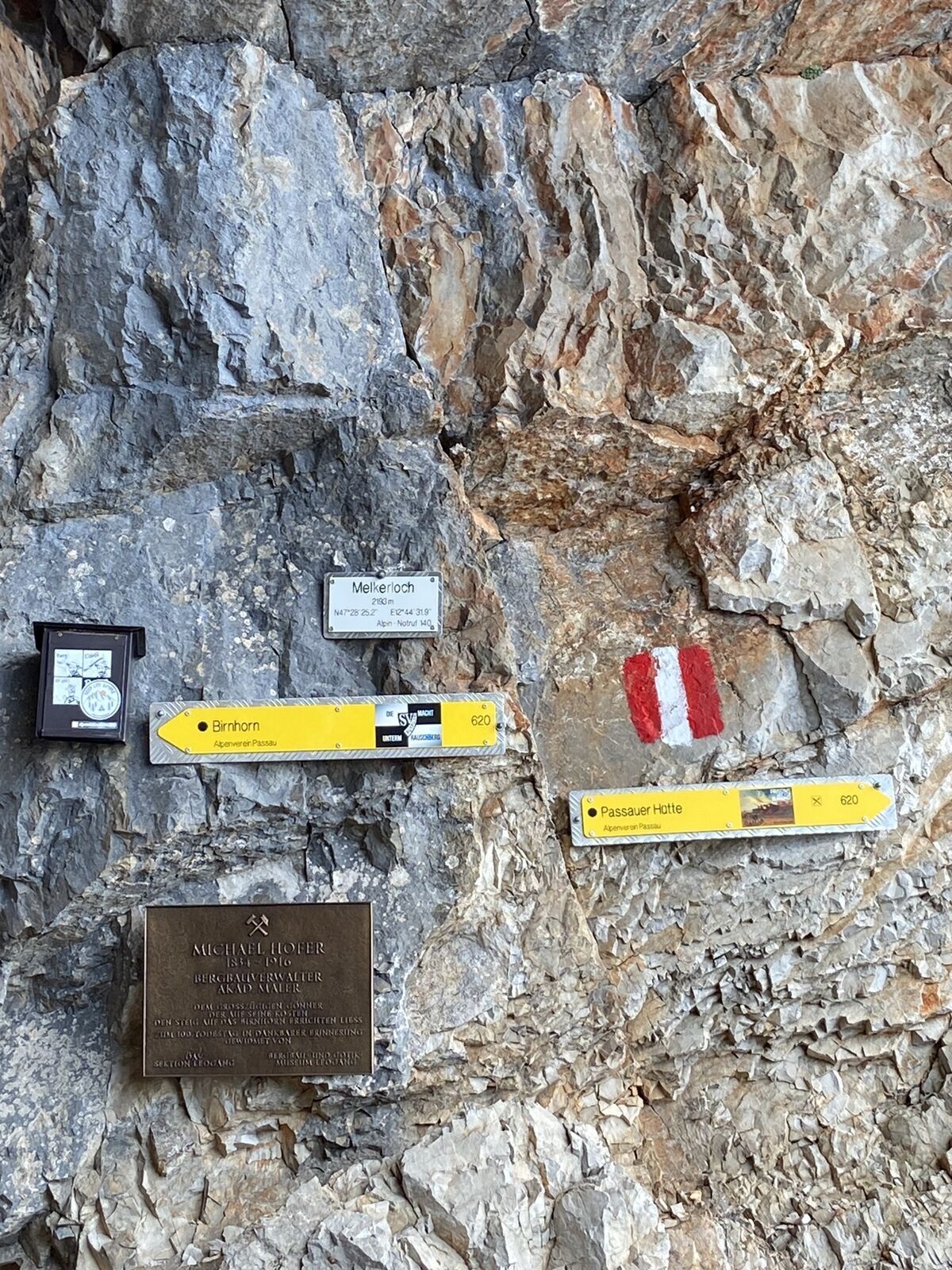
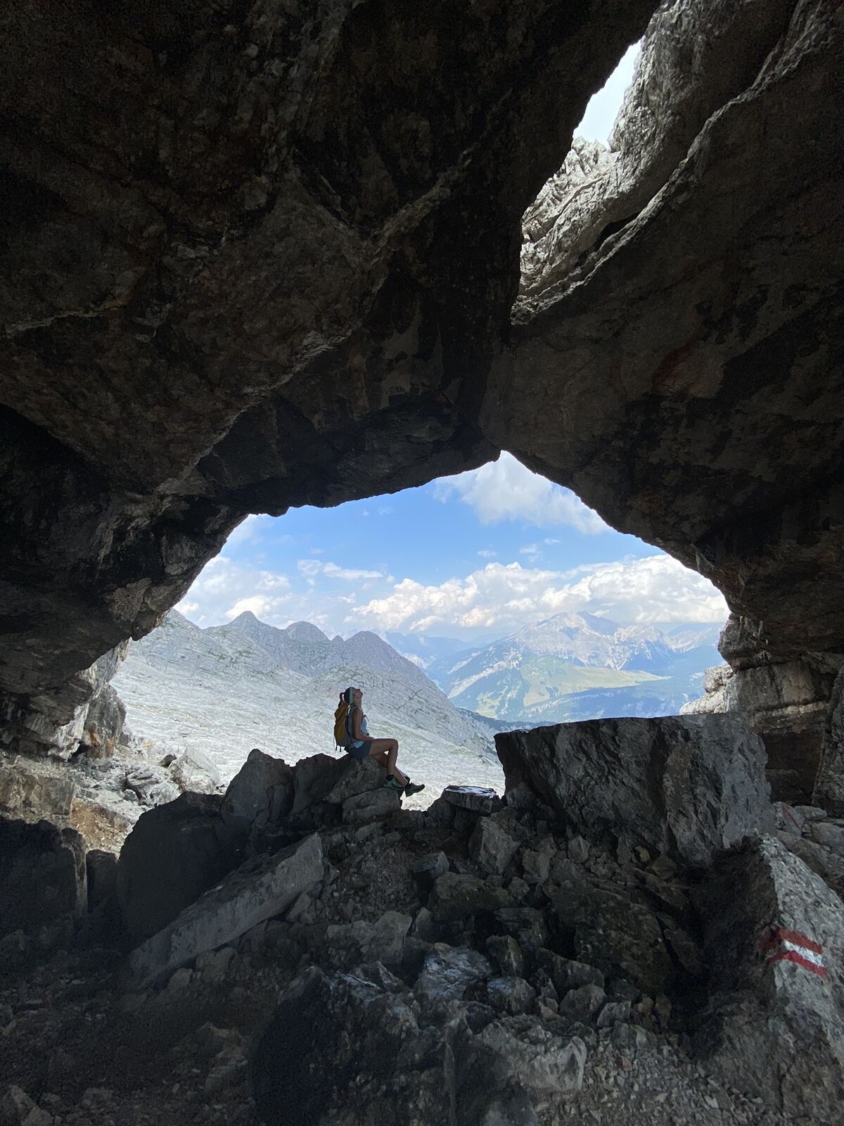
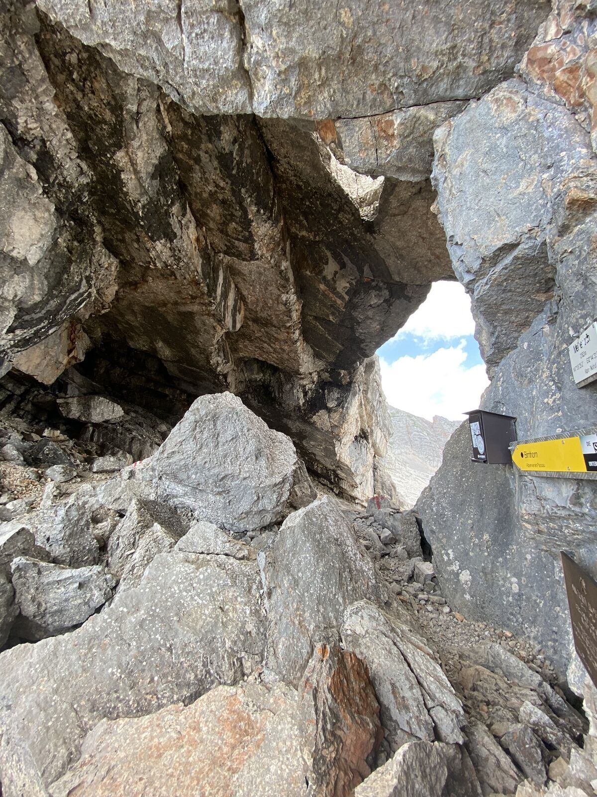
The Melkerloch between Hochzint and Birnhorn is definitely worth a visit. This unique rock window offers views as far as the Großglockner and Watzmann.
Webové kamery z prehliadky
Aktivity počas prehliadky
-

Leogang, Salzburg/Österreich
29.05.2026 – Turistika -

Leogang, Salzburg/Österreich
22.03.2026 – Turistika -

Leogang Wandern
09.01.2026 – Horská turistika -

Leogang, Salzburg/Österreich
25.08.2025 – Turistika -


Leogang, Salzburg/Österreich
30.07.2025 – Horská turistika -
Leogang, Salzburg/Österreich
23.02.2025 – Turistika -

Leogang, Salzburg/Österreich
16.08.2024 – Turistika -

Leogang, Salzburg/Österreich
21.07.2024 – Turistika
Obľúbené výlety v okolí
-
4,2
Maria Alm - Riemannhaus
Turistika 3,99 km -
4,6
Steinalm
svetloTuristika 2,71 km -
4,2
Schwalbenwand Nr. 80, 81, 82
strednáTuristika 13,0 km -
4,3
Peter-Wiechenthaler Hut
strednáTuristika 4,32 km -
4,8
Loferer Steinberge, zum Hinterhorn über die Schmid-Zabierow Hütte, 19.06.22
ťažkéTuristika 14,0 km -
4,1
Passauer Hütte
ťažkéTuristika 4,14 km -
5,0
Schönfeldspitze 12.08.2020
ťažkéVysoké turné 15,3 km -
4,5
Birnbachloch Leogang, Österreich
strednáTuristika 5,18 km -
4,6
Lettlkaser
strednáTuristika 4,40 km -
4,0
Berg der Sinne
svetloTuristika 4,39 km
Turistika a stopovanie


Nenechajte si ujsť ponuky a inšpiráciu na ďalšiu dovolenku
Vaša e-mailová adresa bol pridaný do poštového zoznamu.