






On the Panorama route Schmittenhöhe high above Zell am See

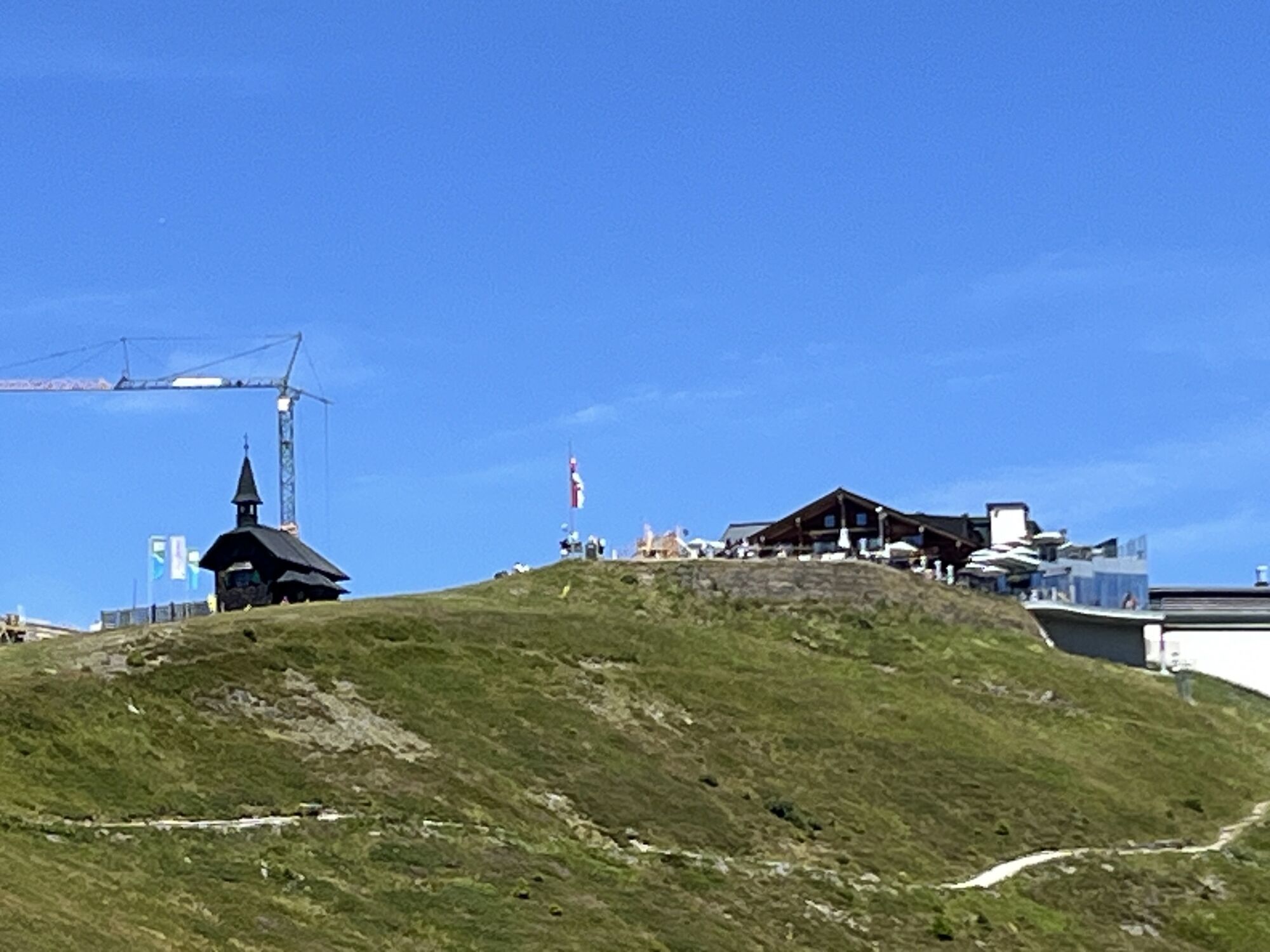
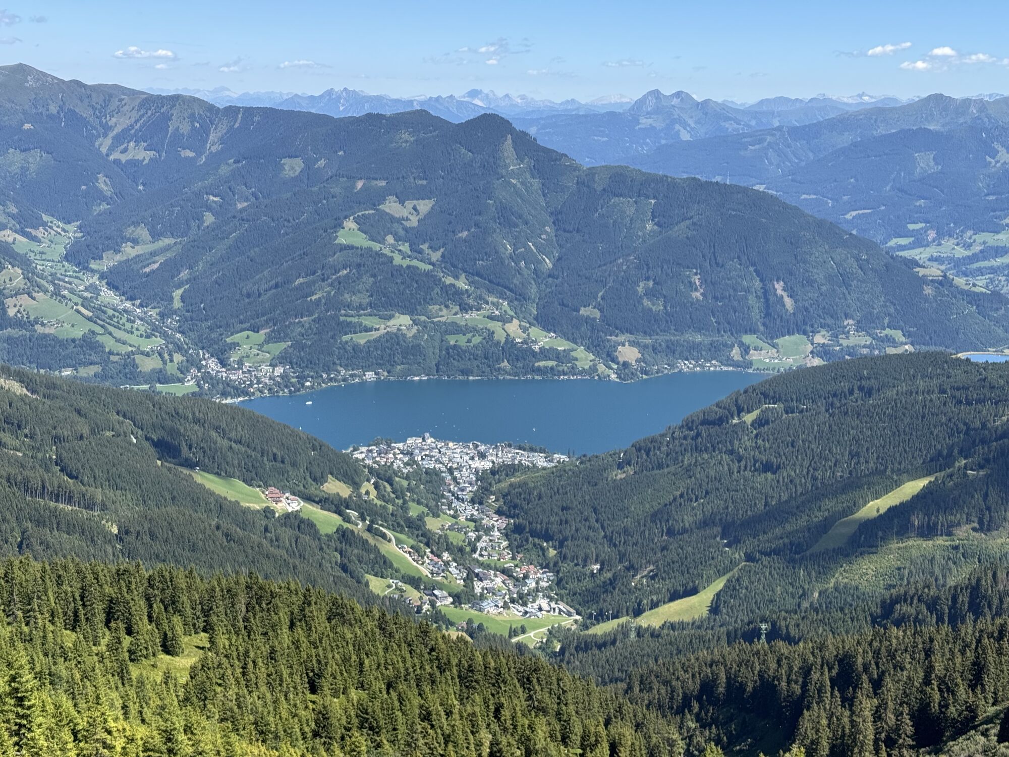
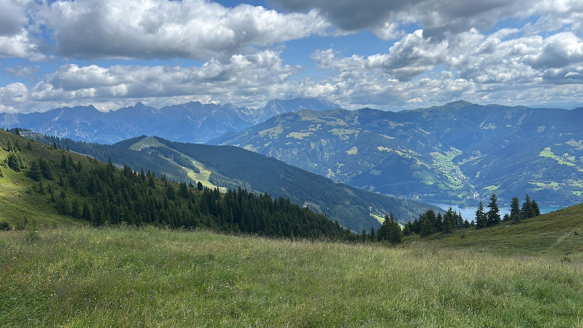
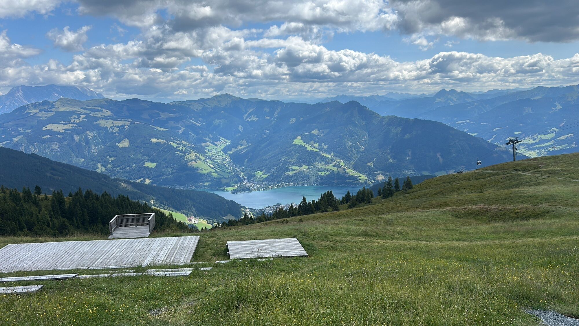
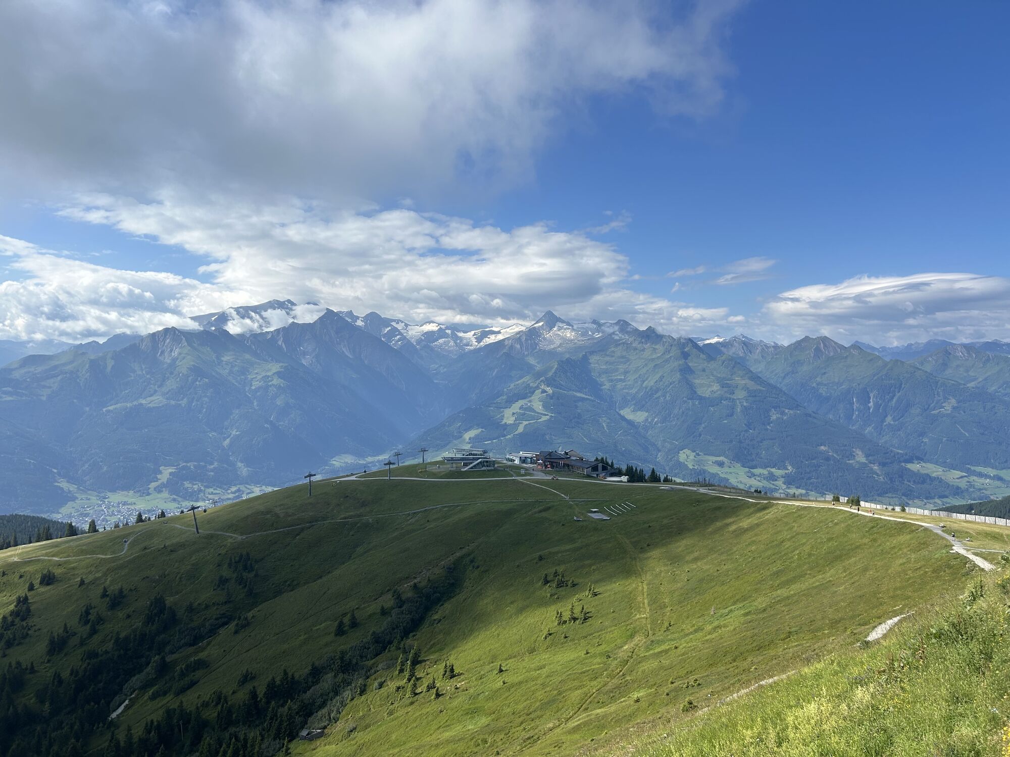
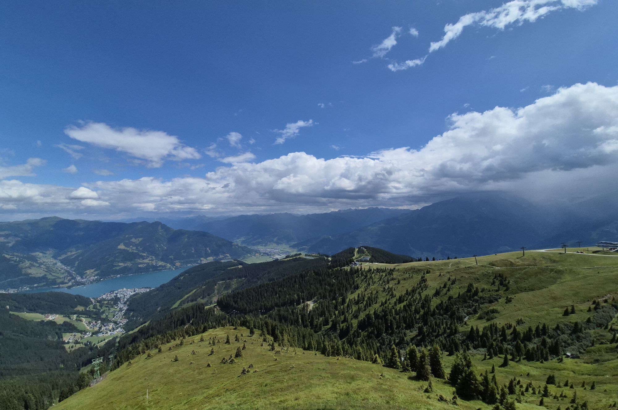
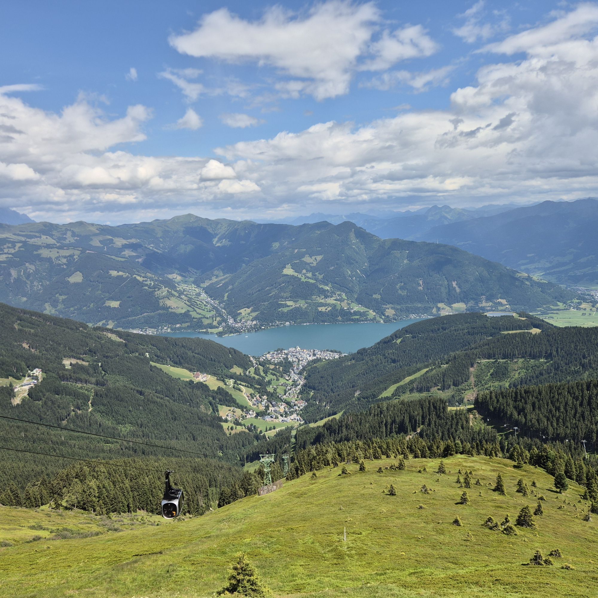
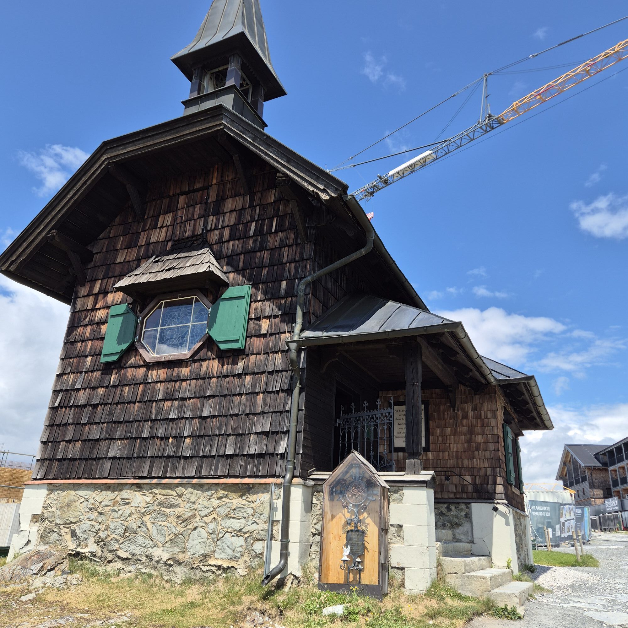
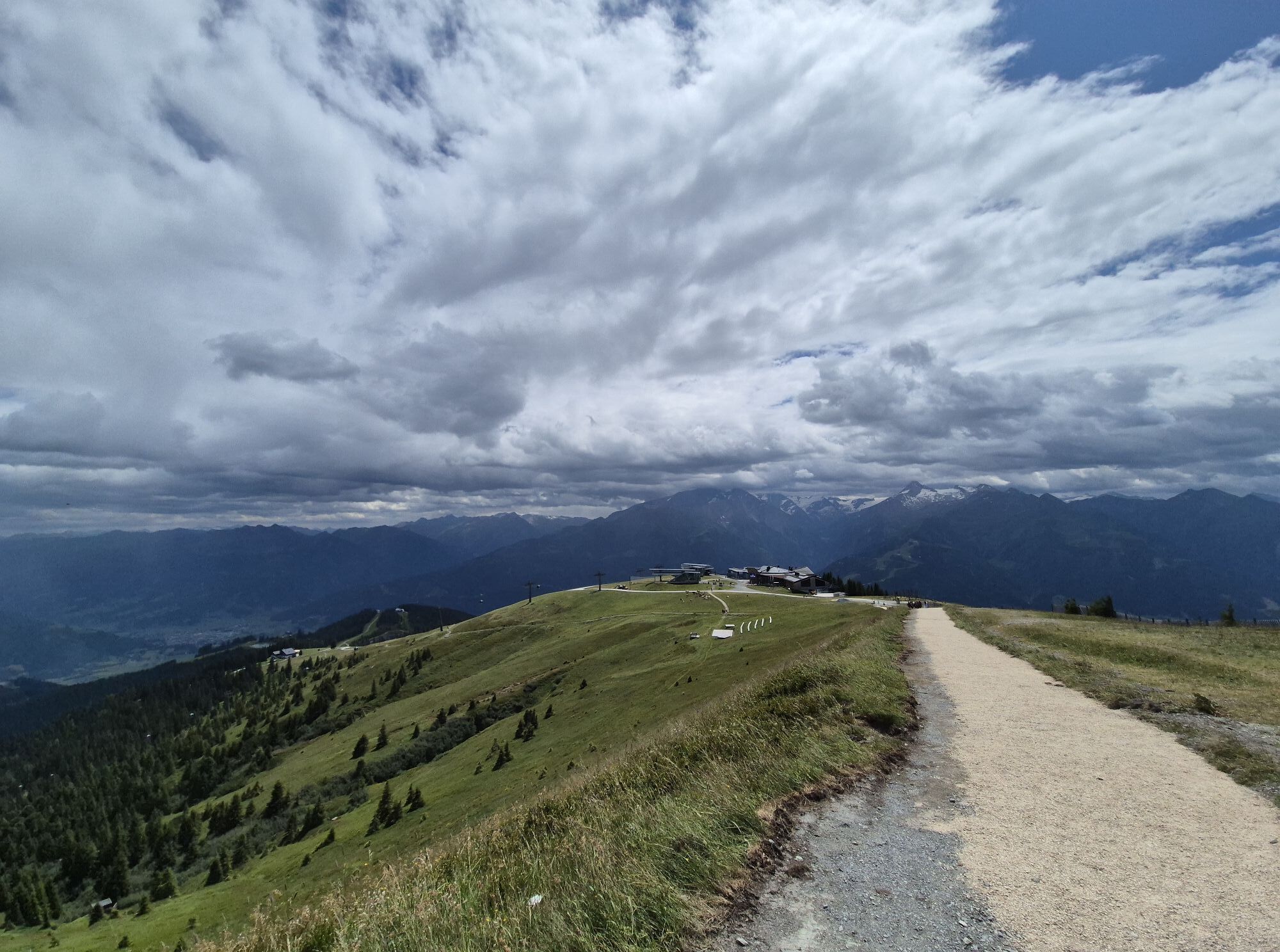
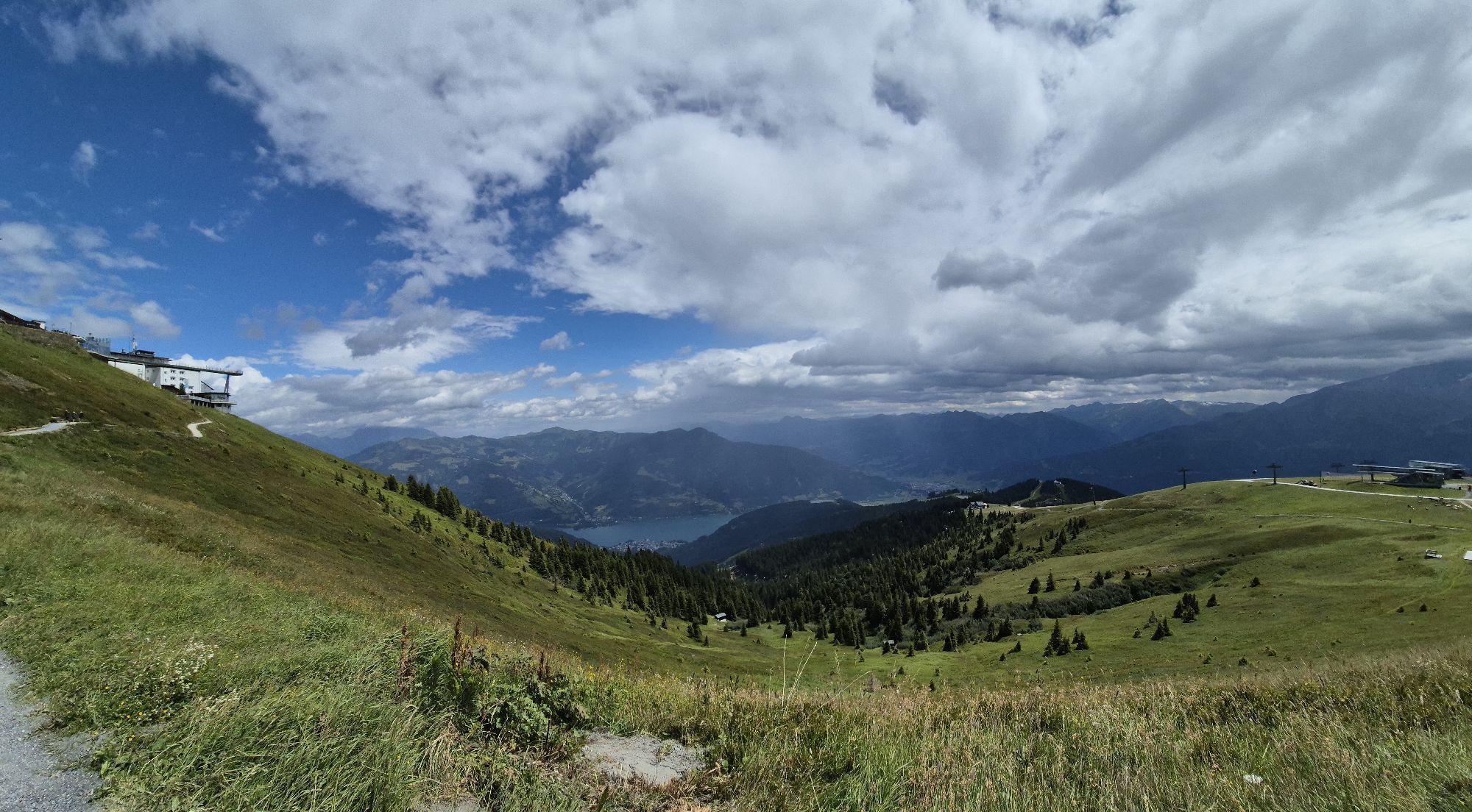
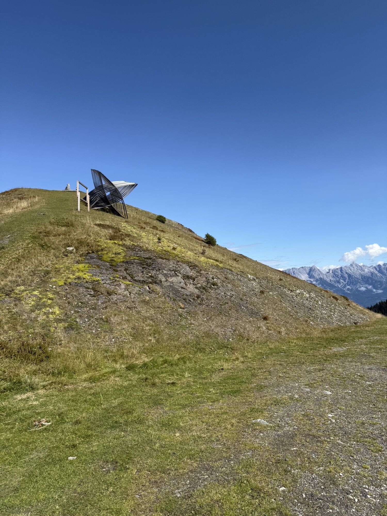
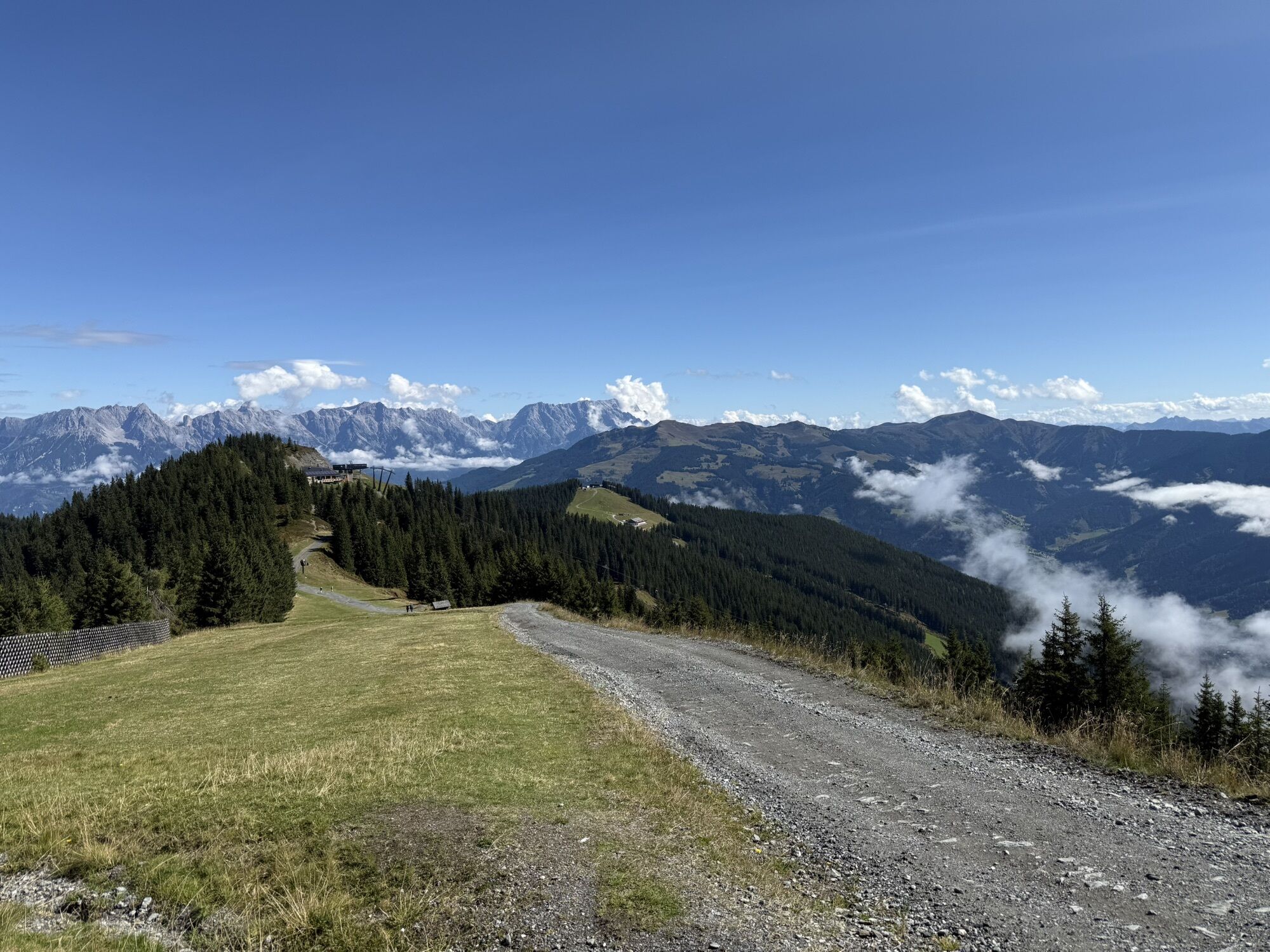
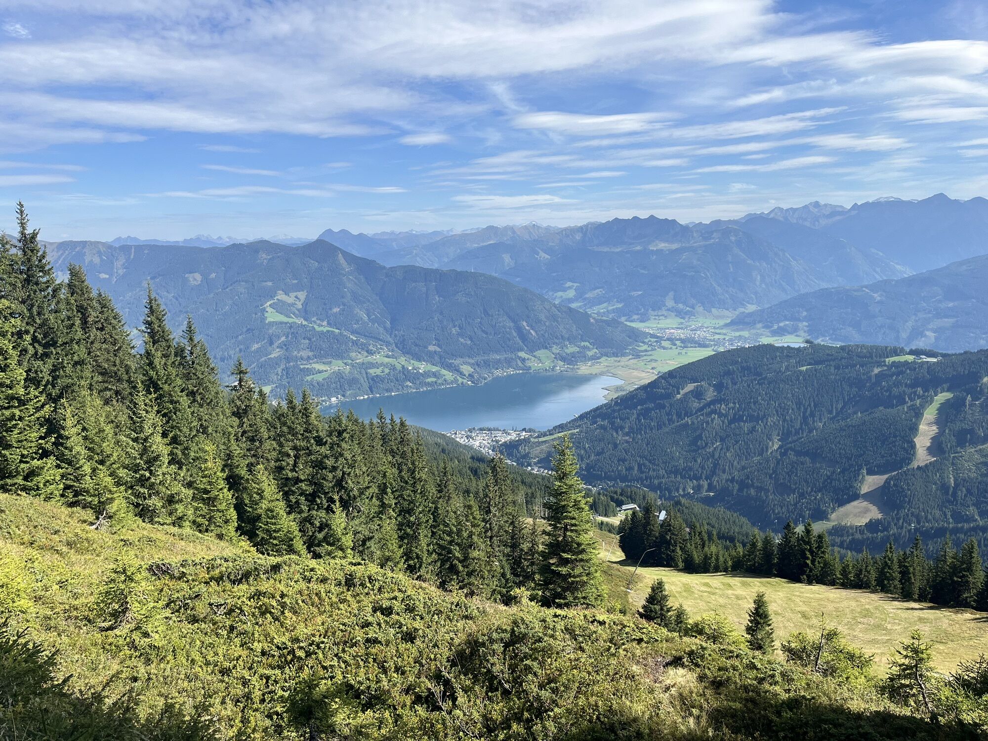
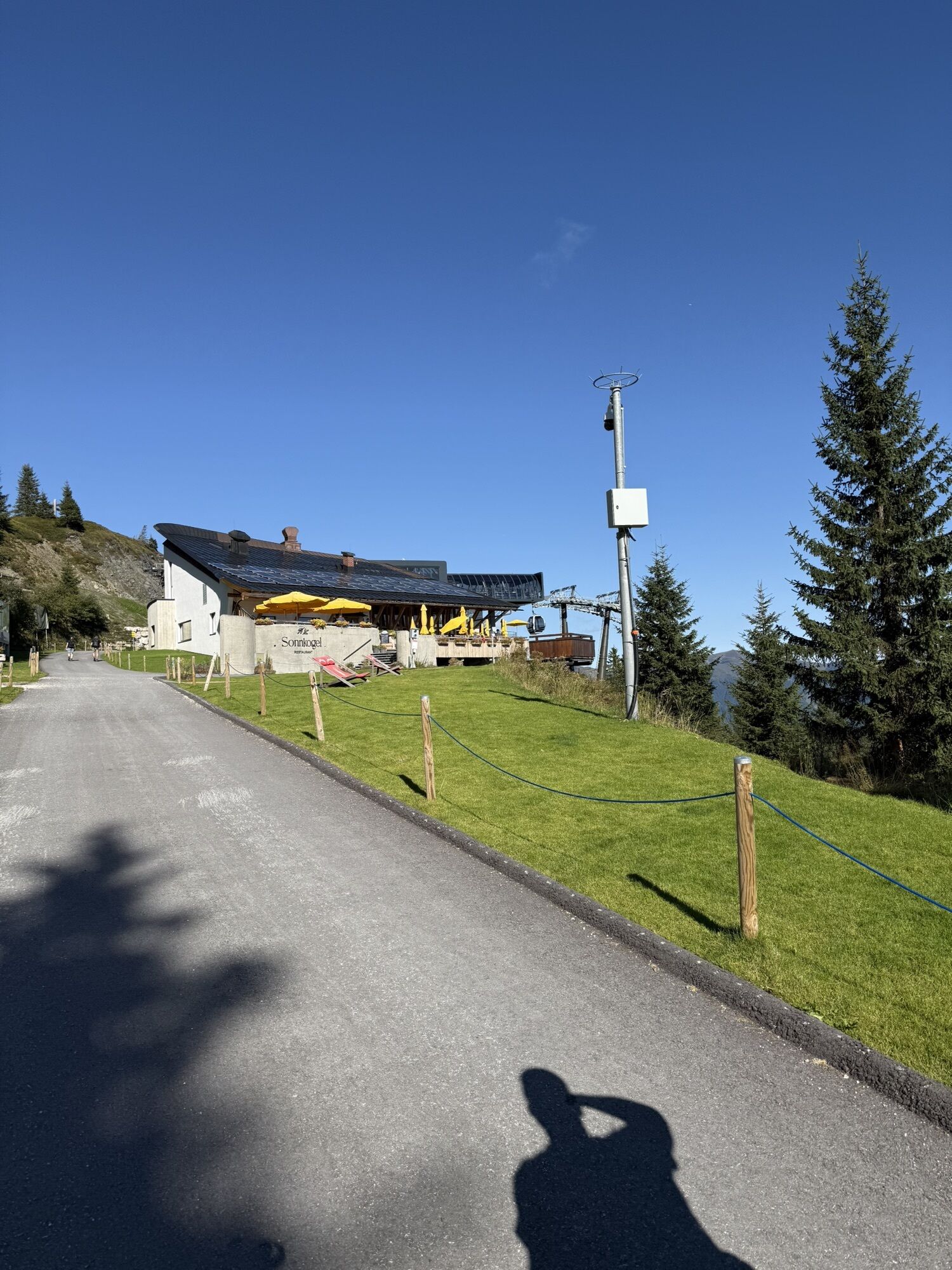
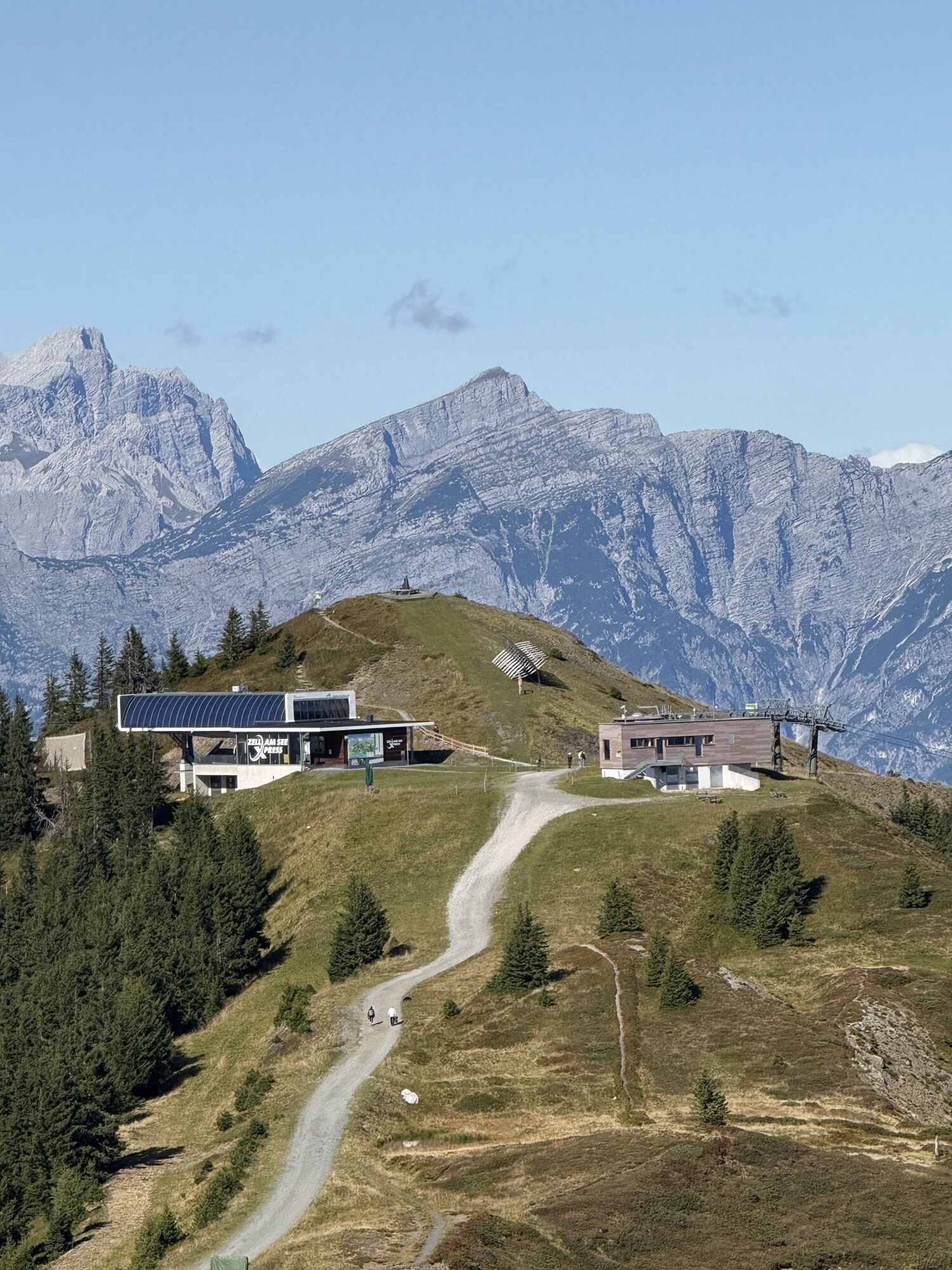
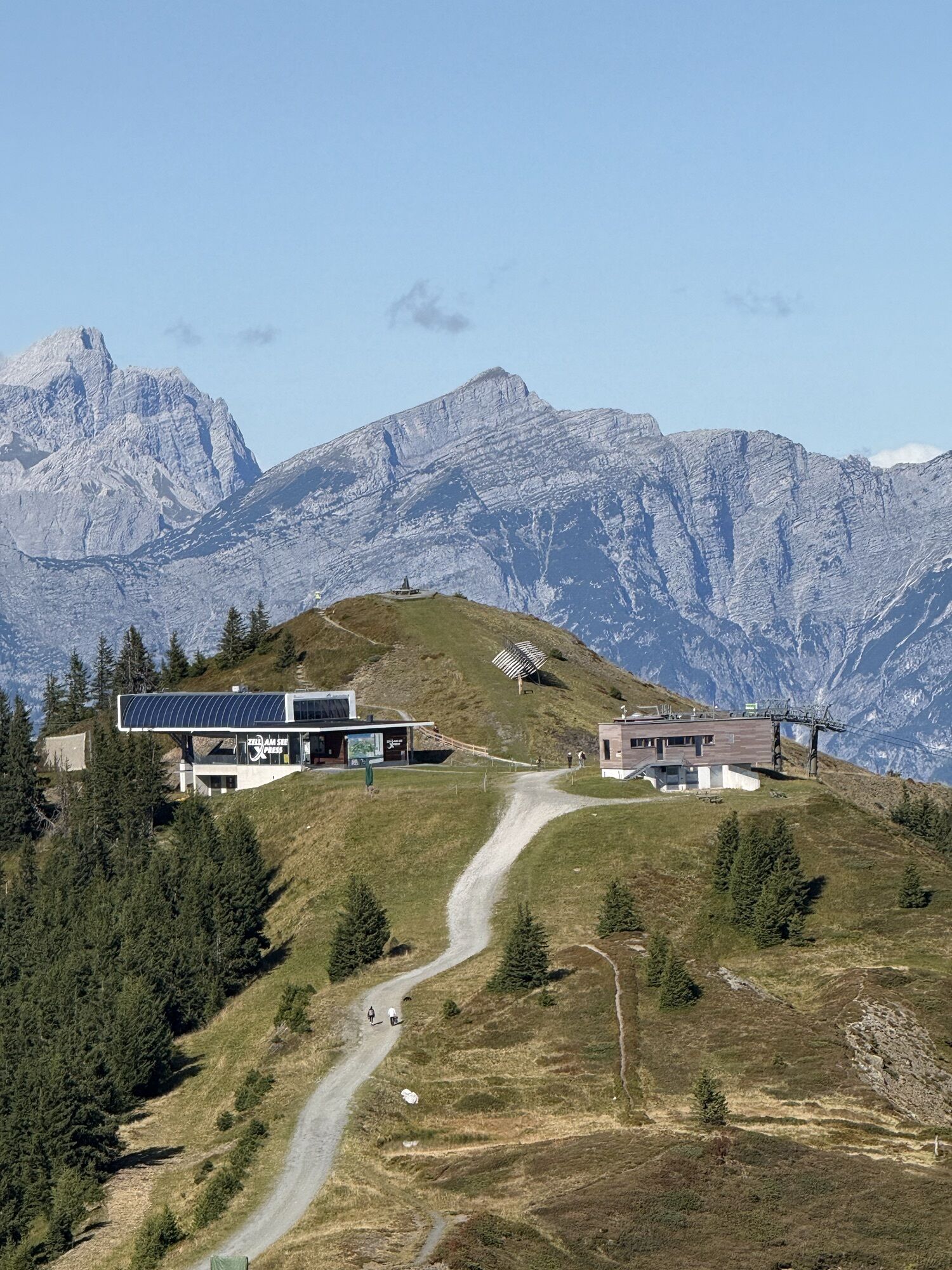
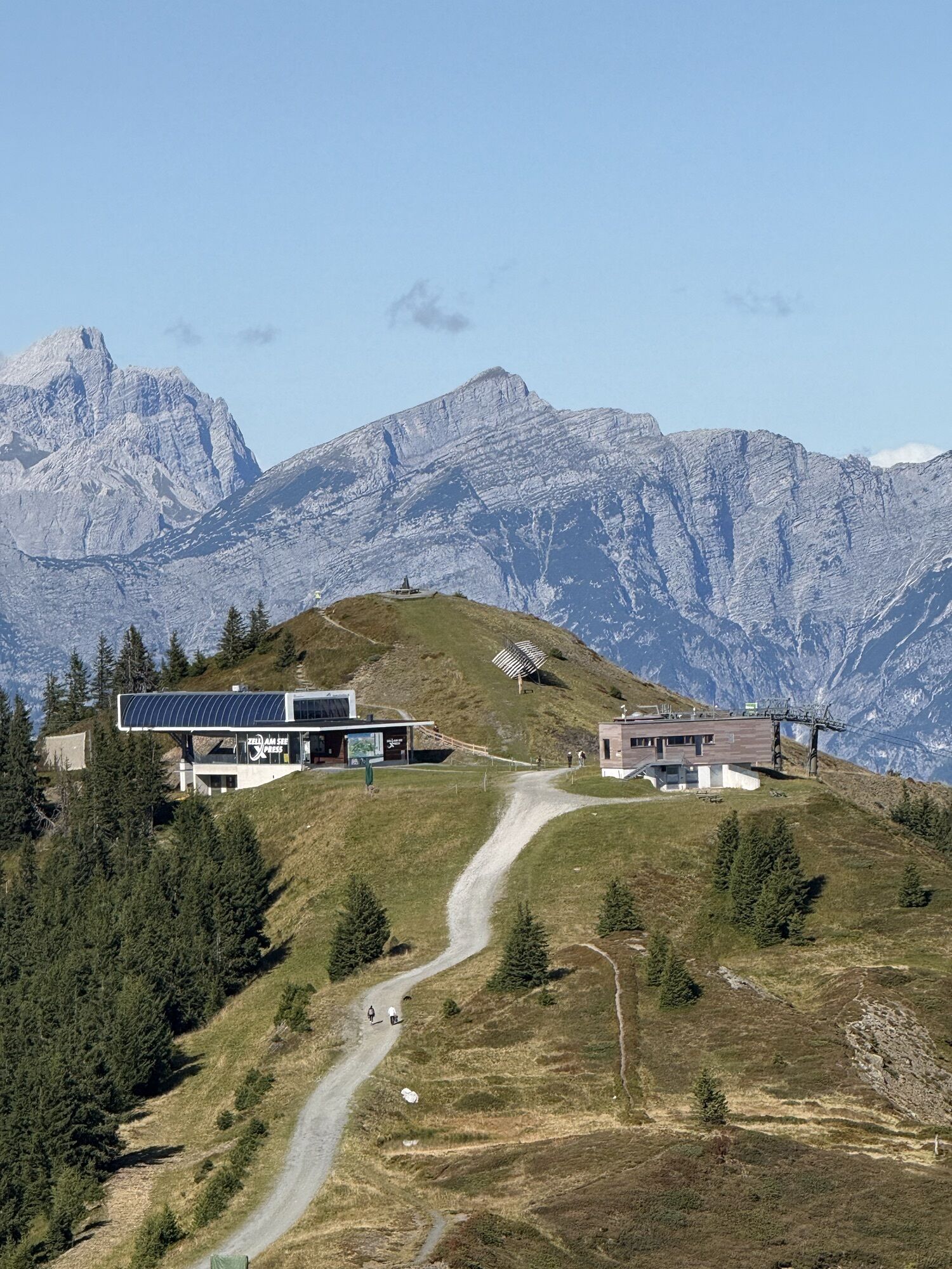


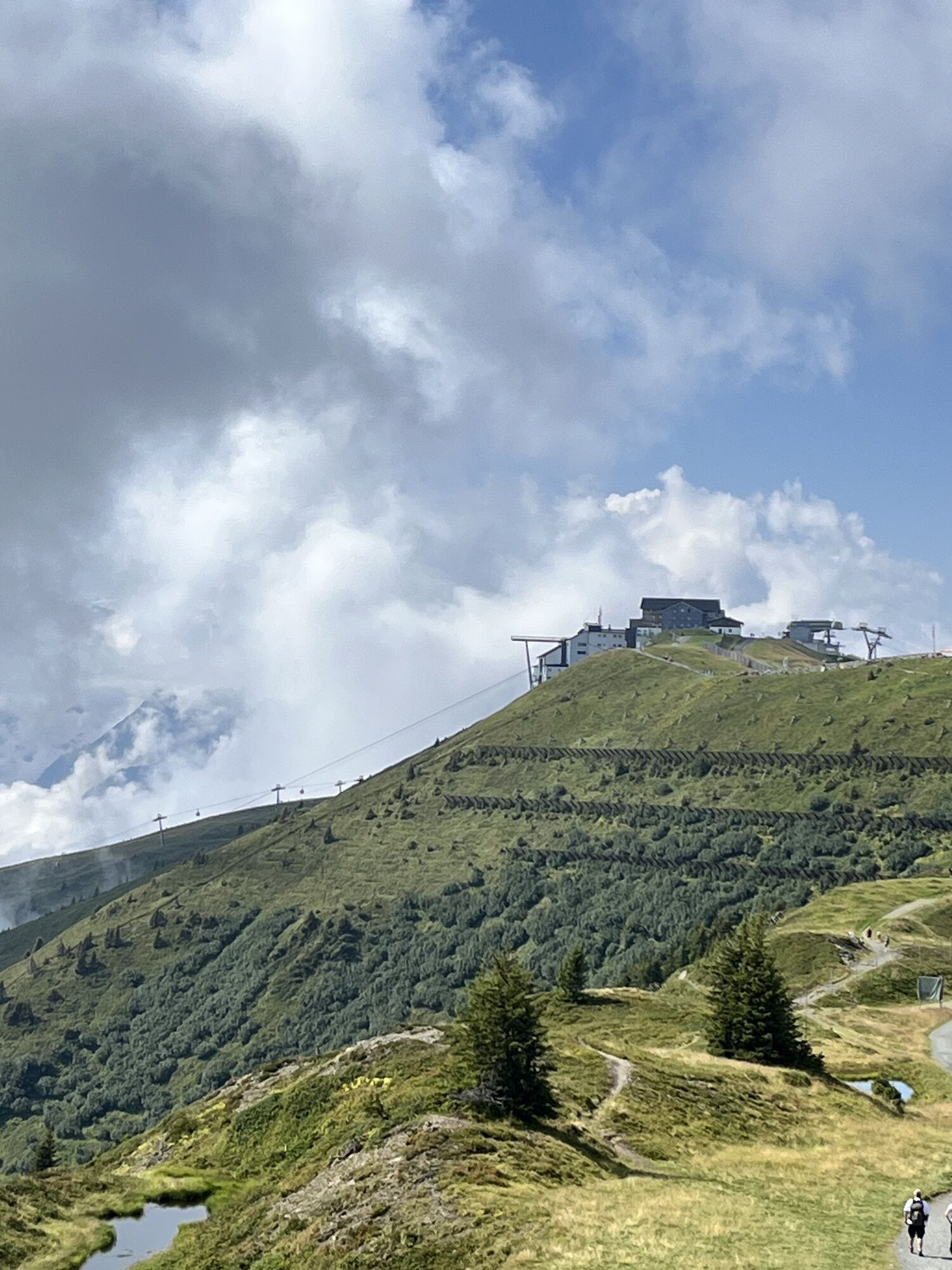
To hike on the Schmitten Höhenpromenade, we start with the gondola from Tras-X-Press to airy heights at around 1,900 m altitude. The Höhenpromenade is perfect for families and leisure hikers. With many...
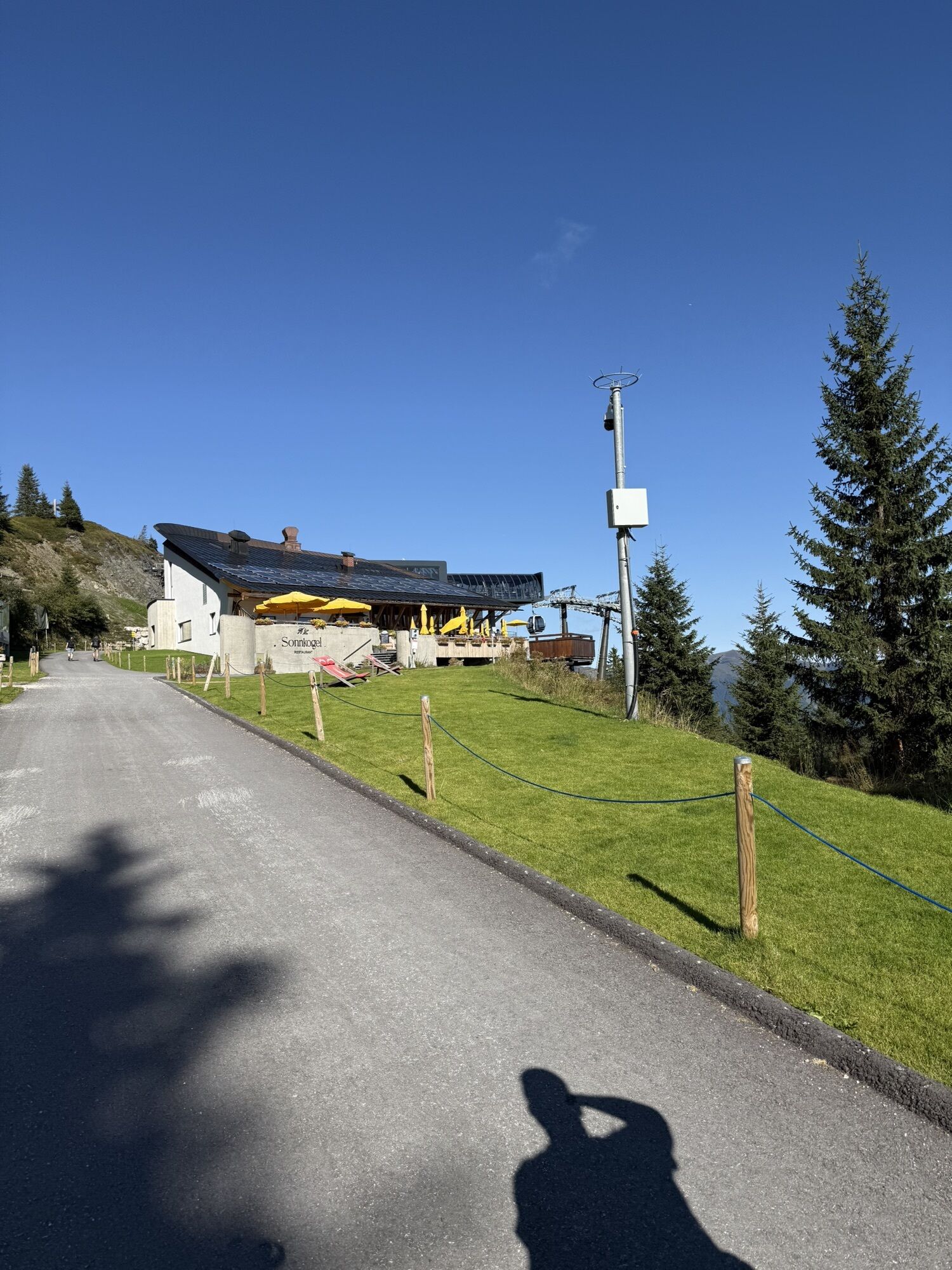
To hike on the Schmitten Höhenpromenade, we start with the gondola from Tras-X-Press to airy heights at around 1,900 m altitude. The Höhenpromenade is perfect for families and leisure hikers. With many information boards, telescopes, and play stations, the hike is super exciting for all family members. For children, there is also Schmidolin's puzzle booklet available at the ticket counter to take on the hike. Along the path, there are regularly spaced exciting tasks for the kids. Anyone who finds the correct solution word can pick up a surprise at the info center or at the Sonnkogel restaurant.
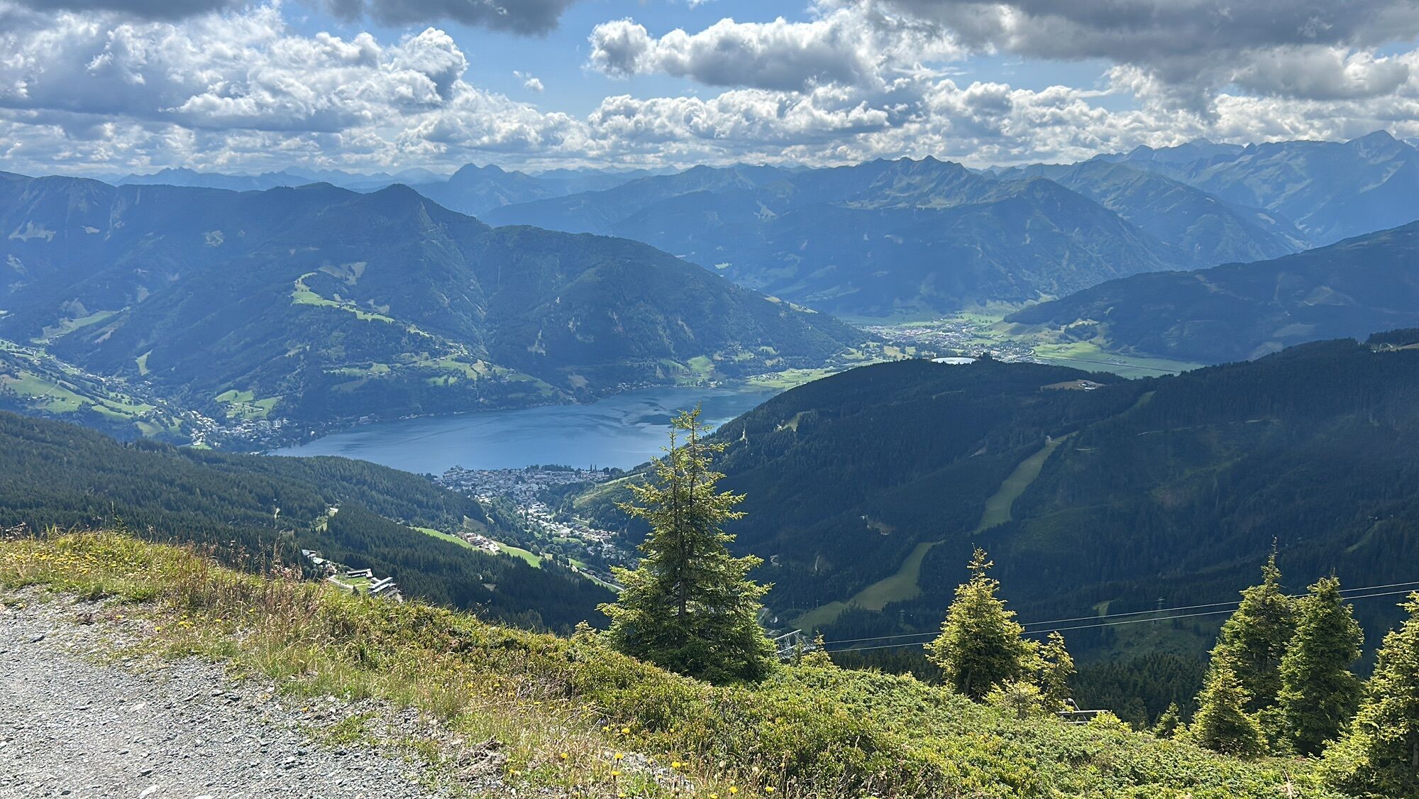
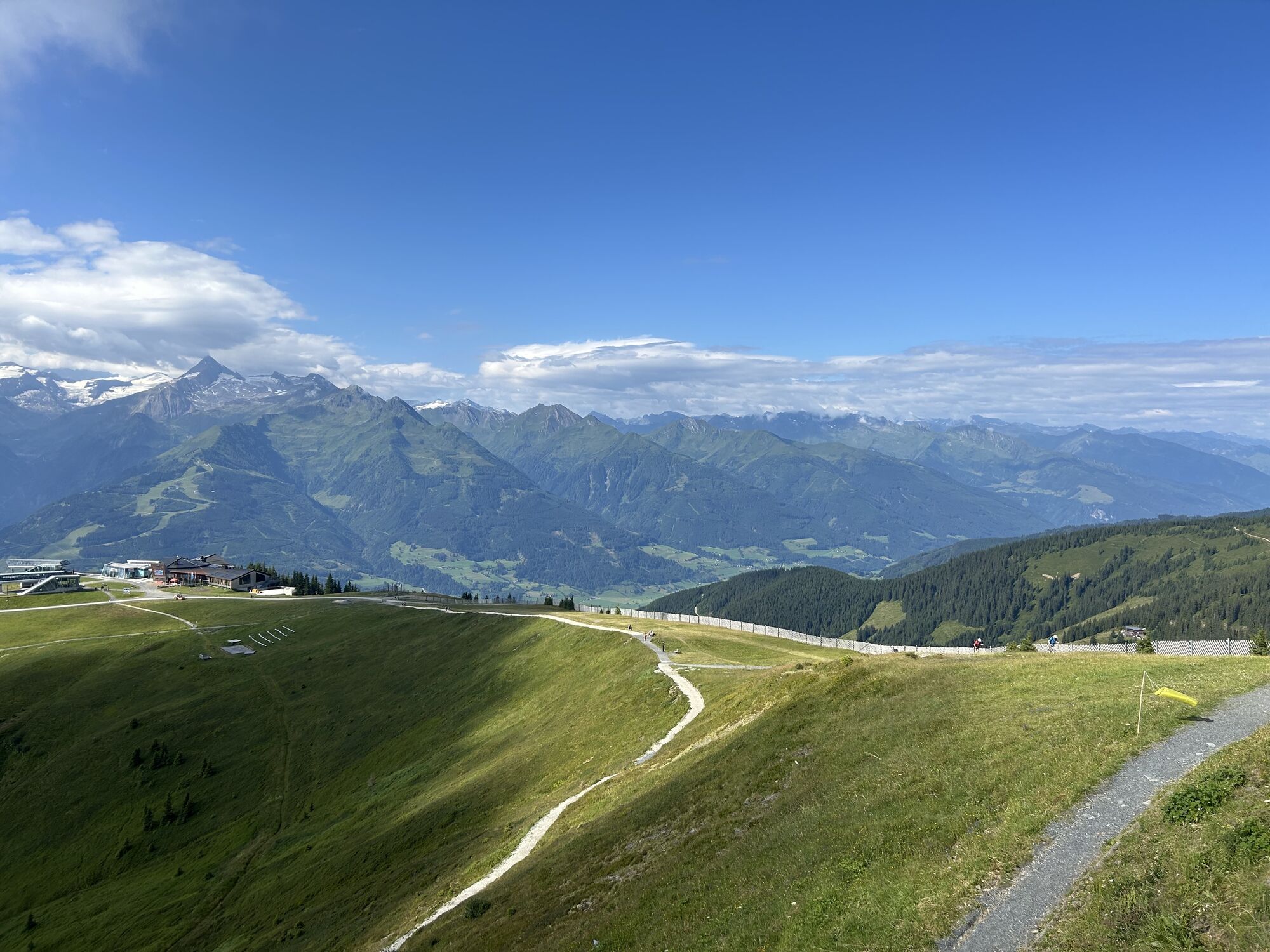
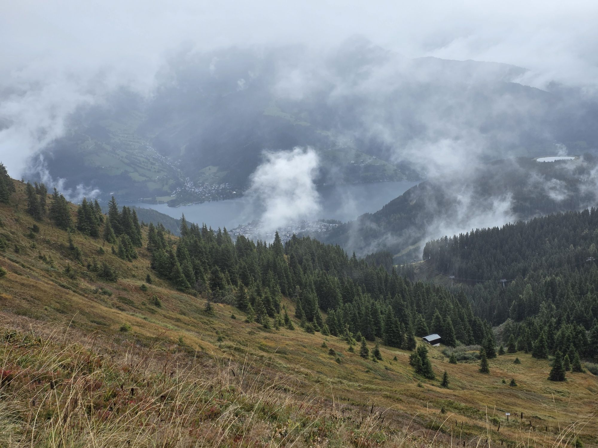
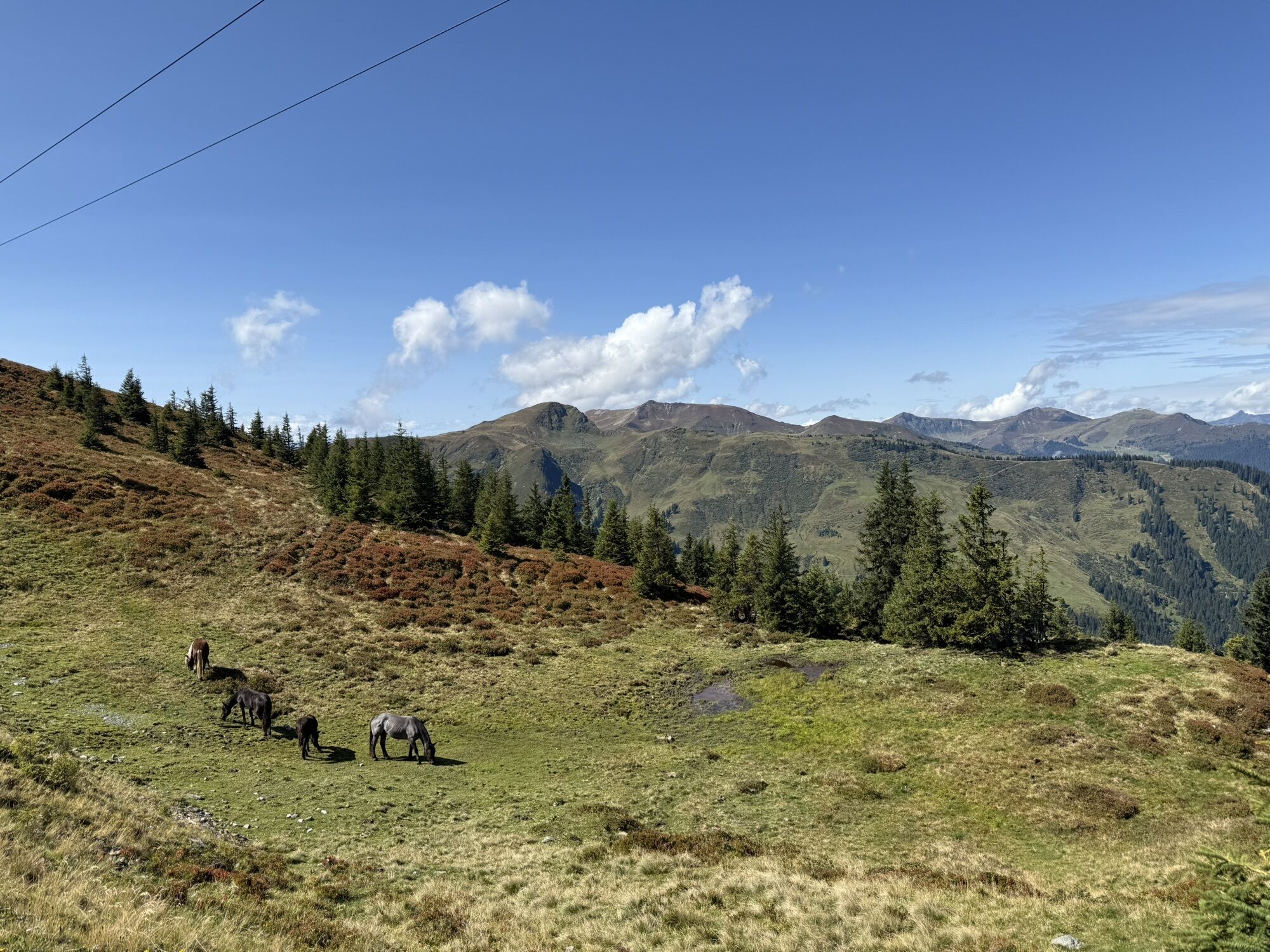
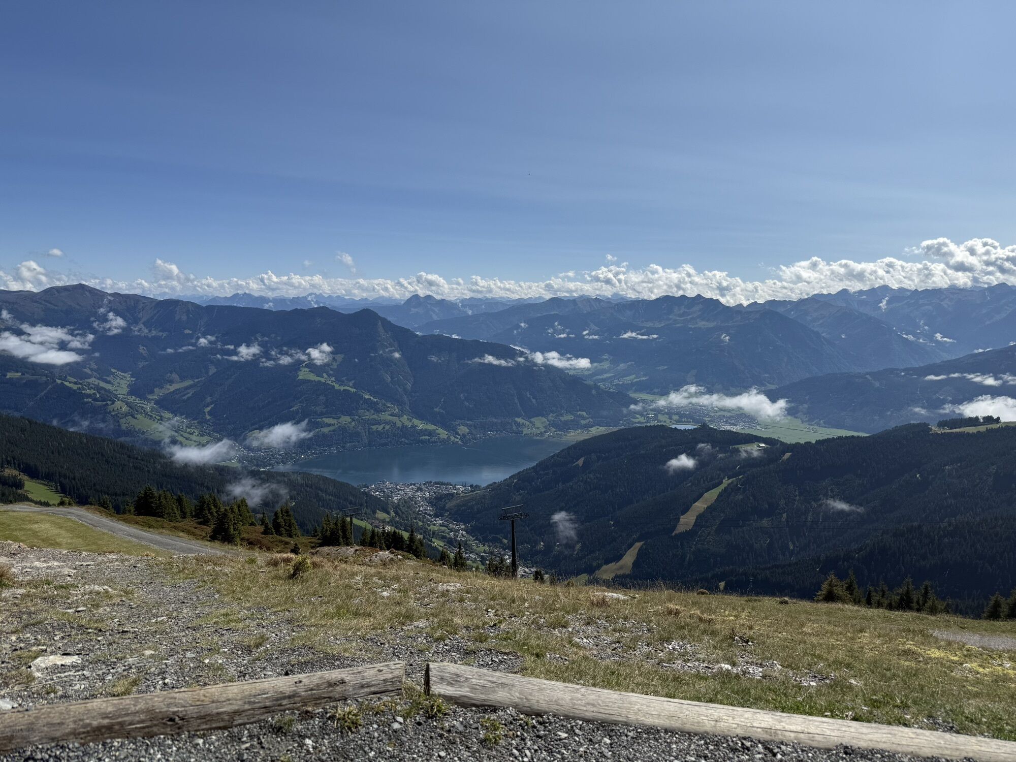
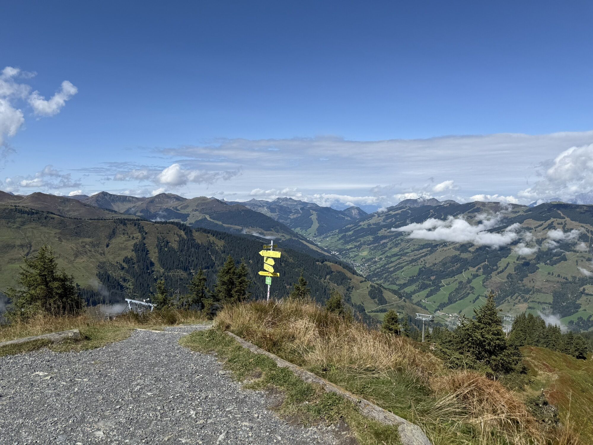
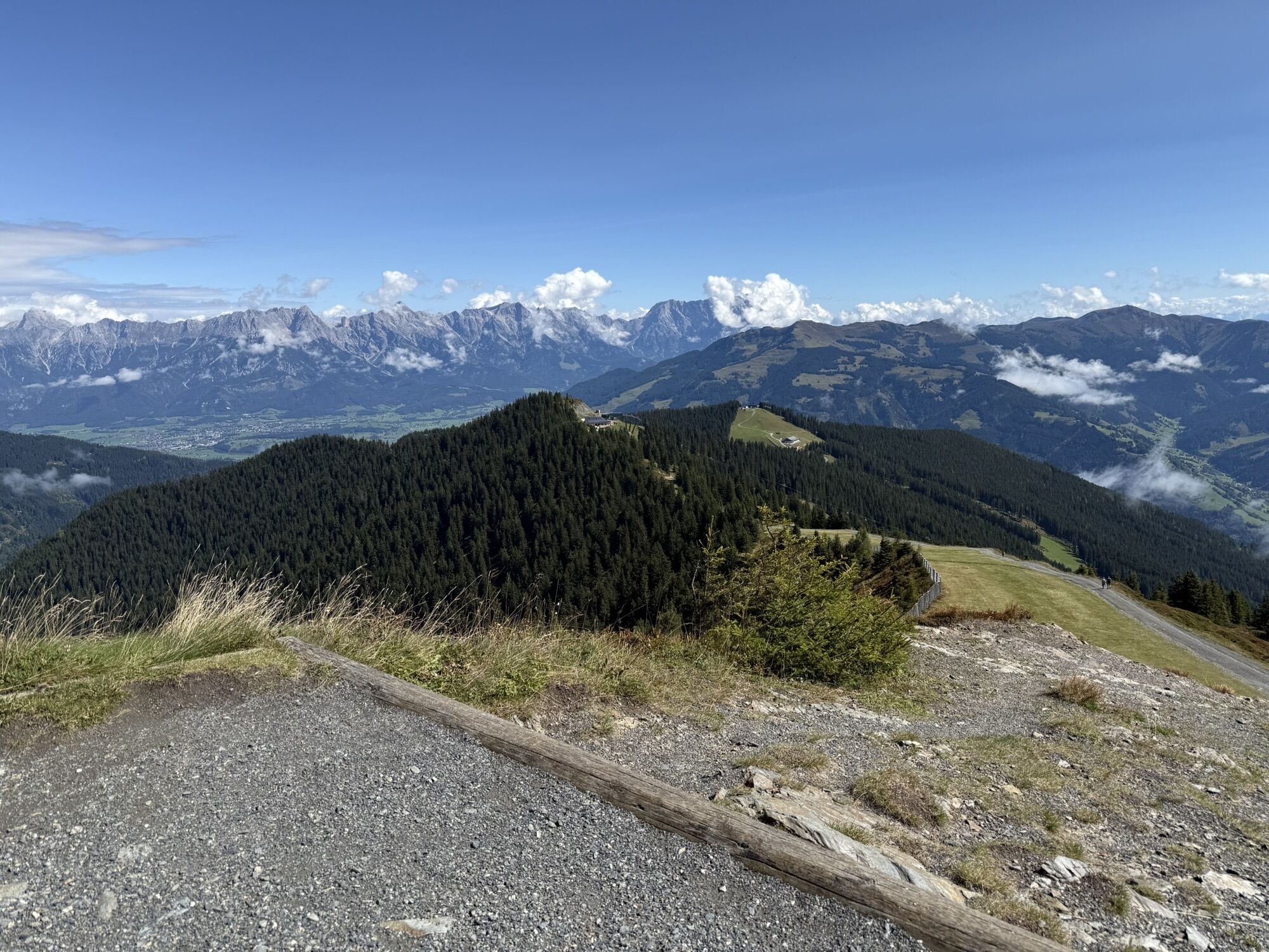
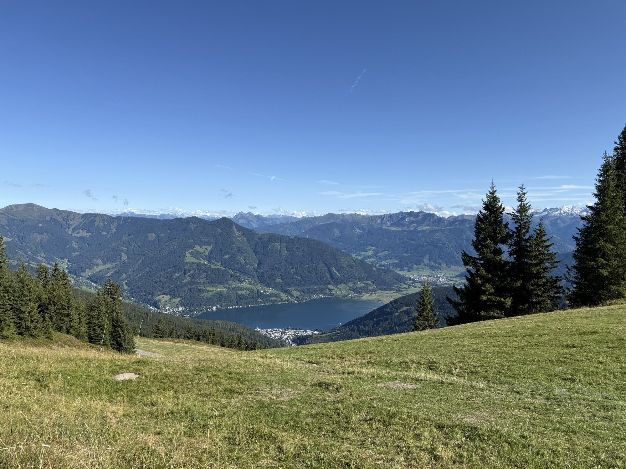
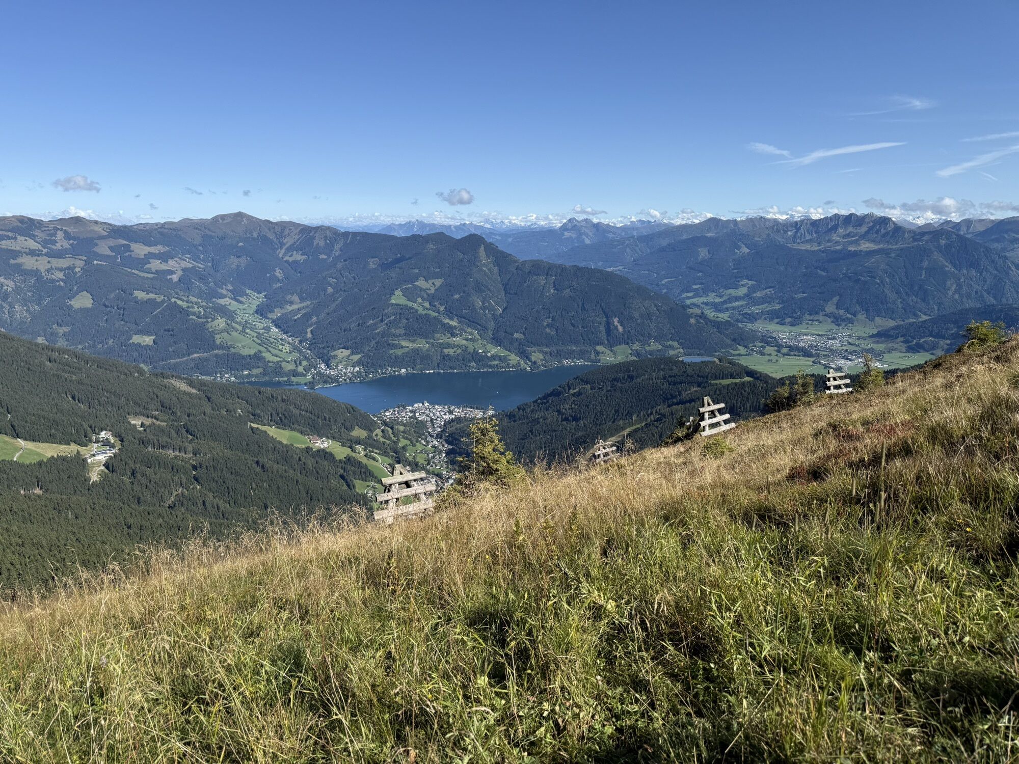
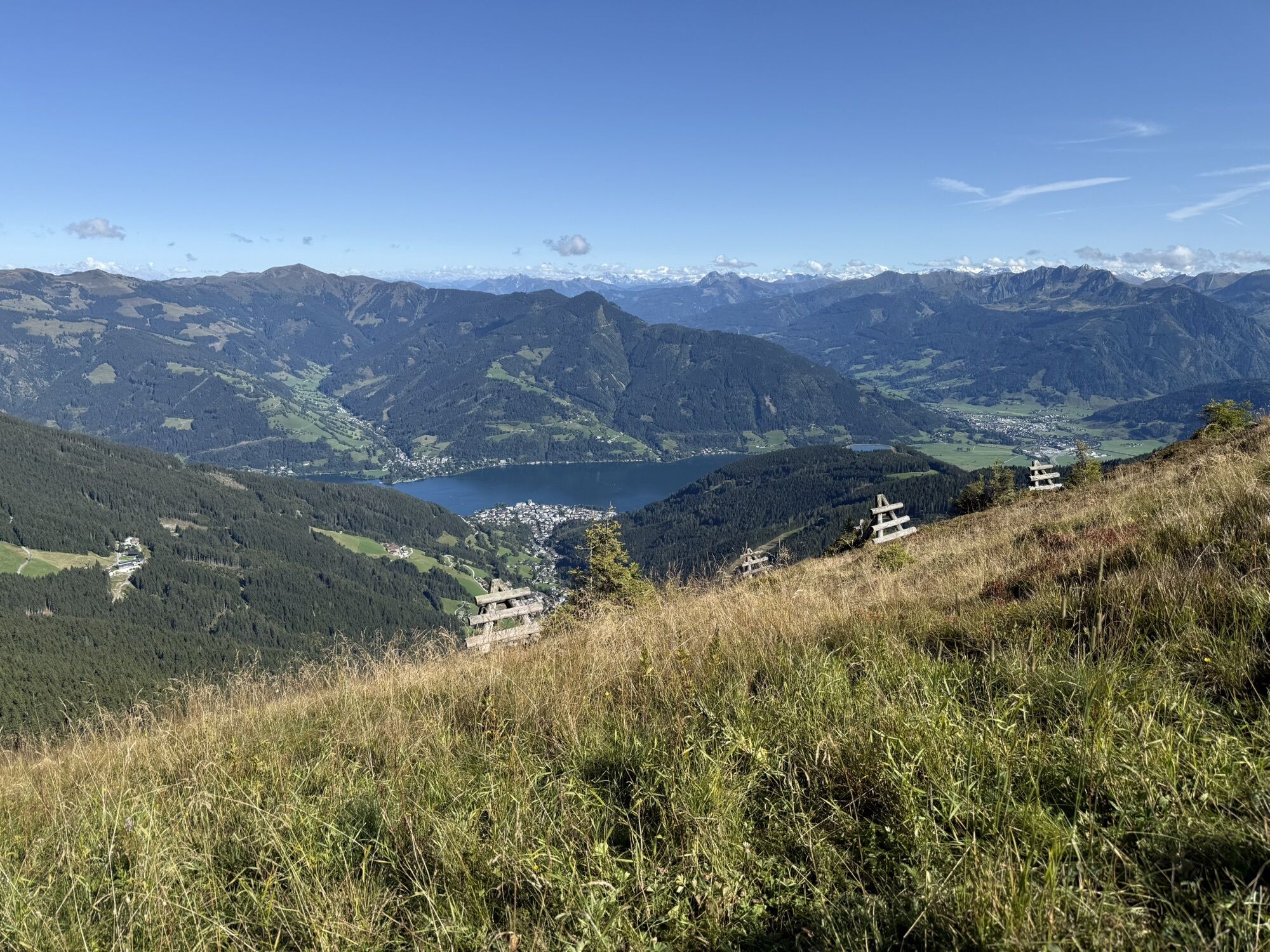
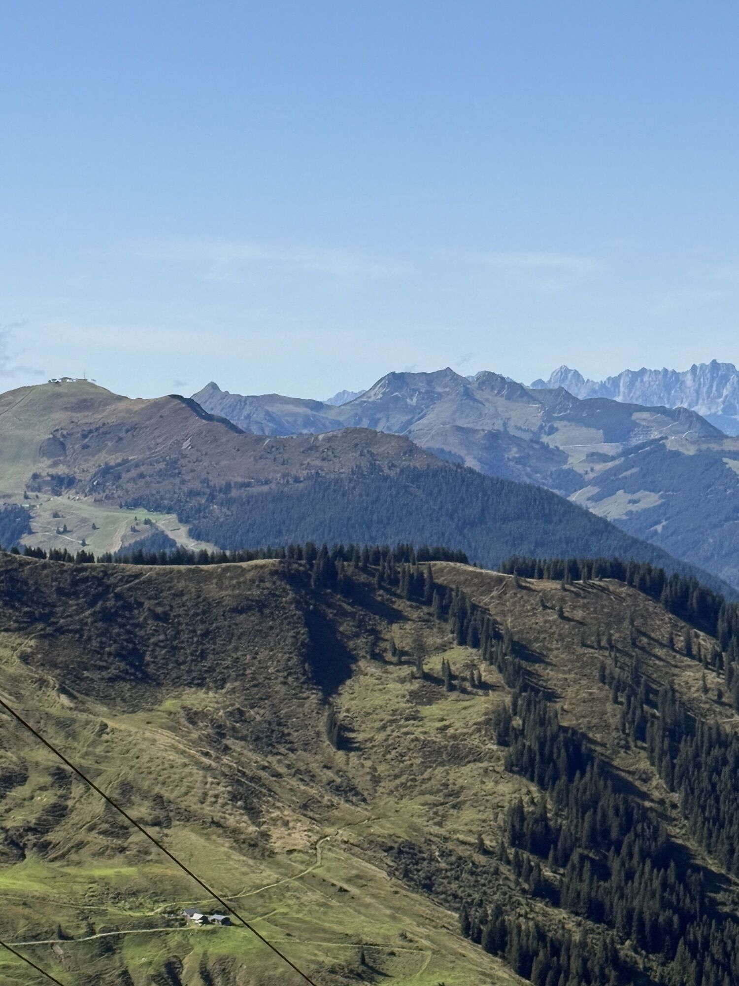
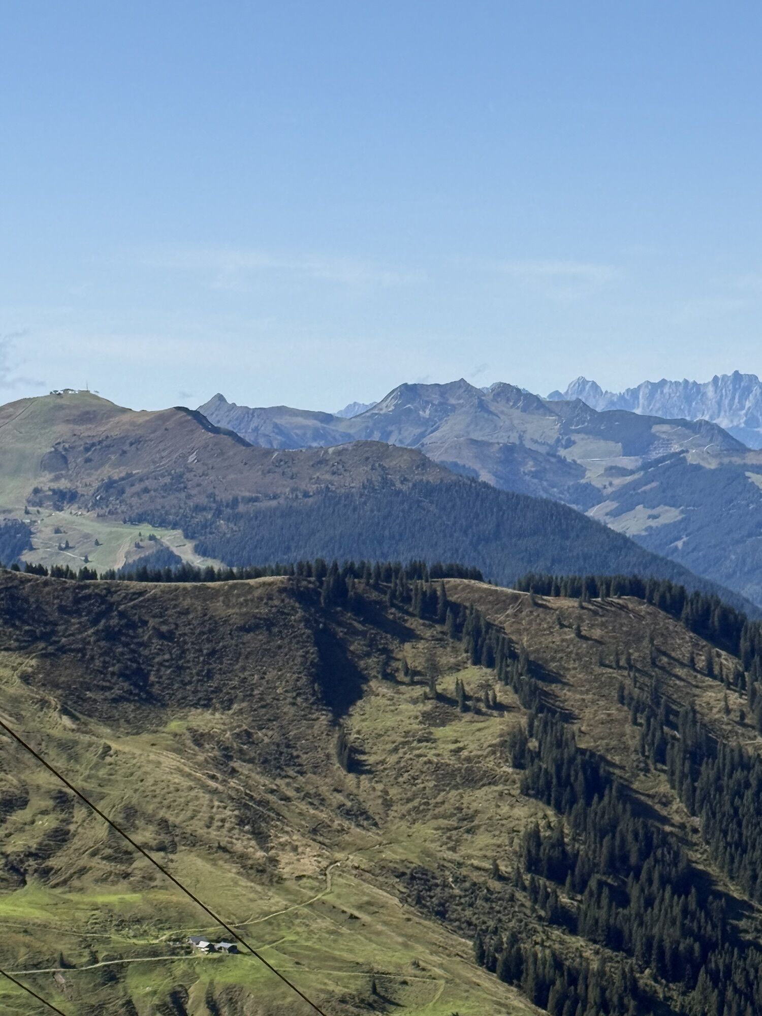
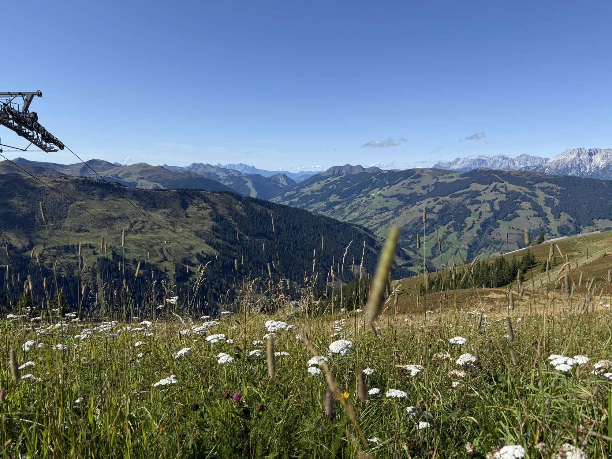
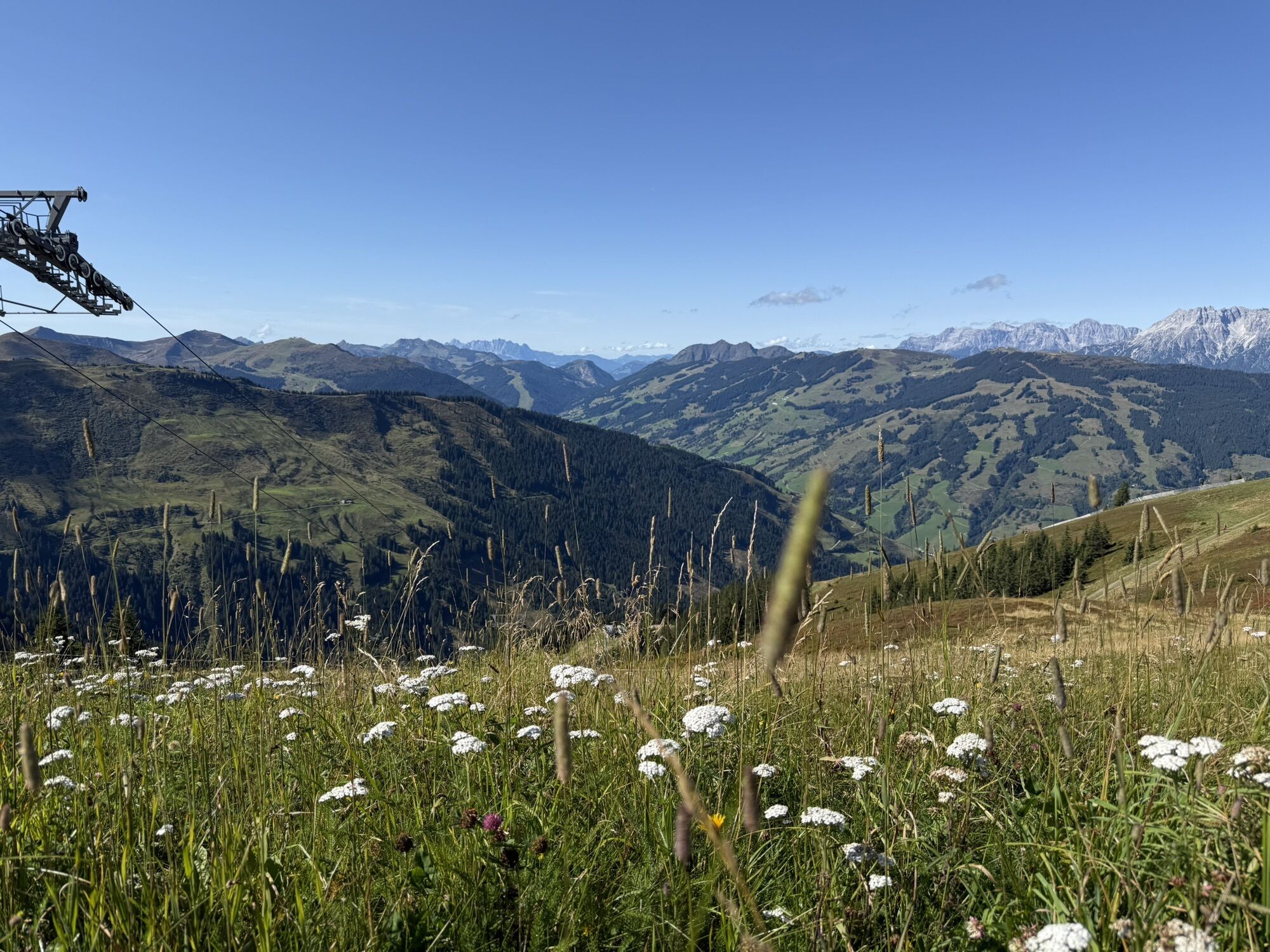
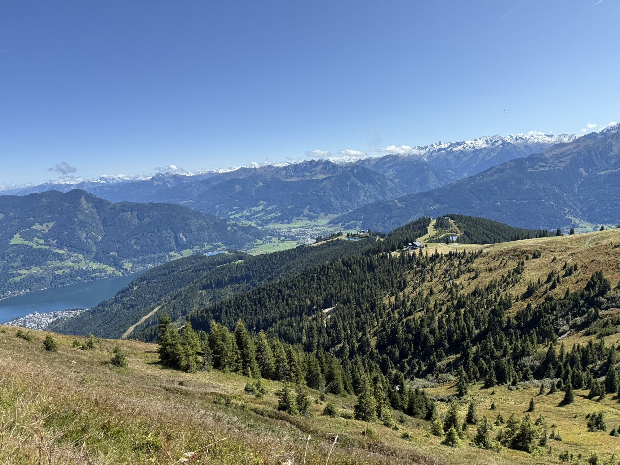
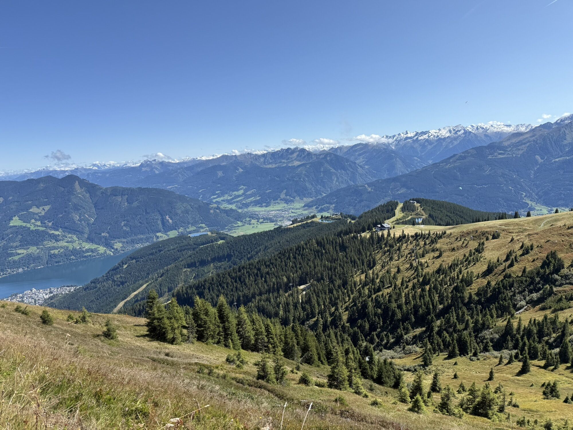
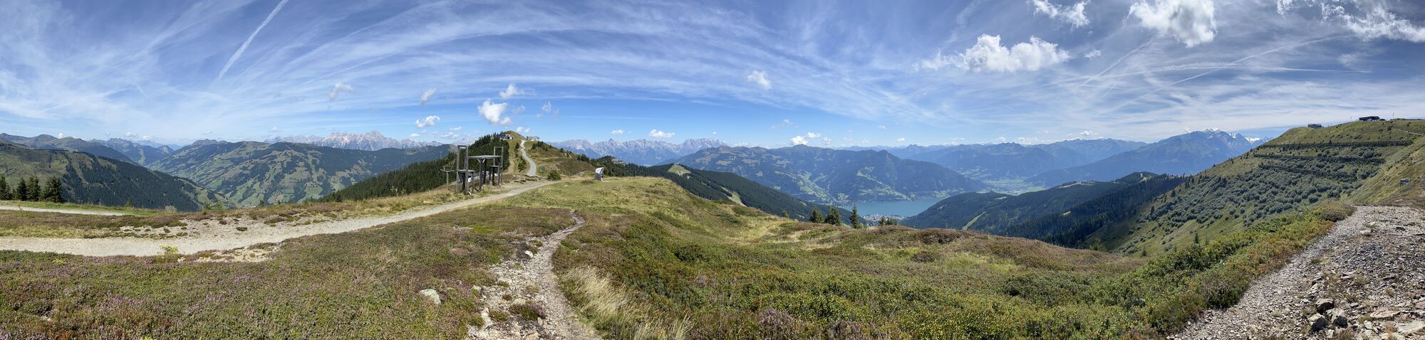
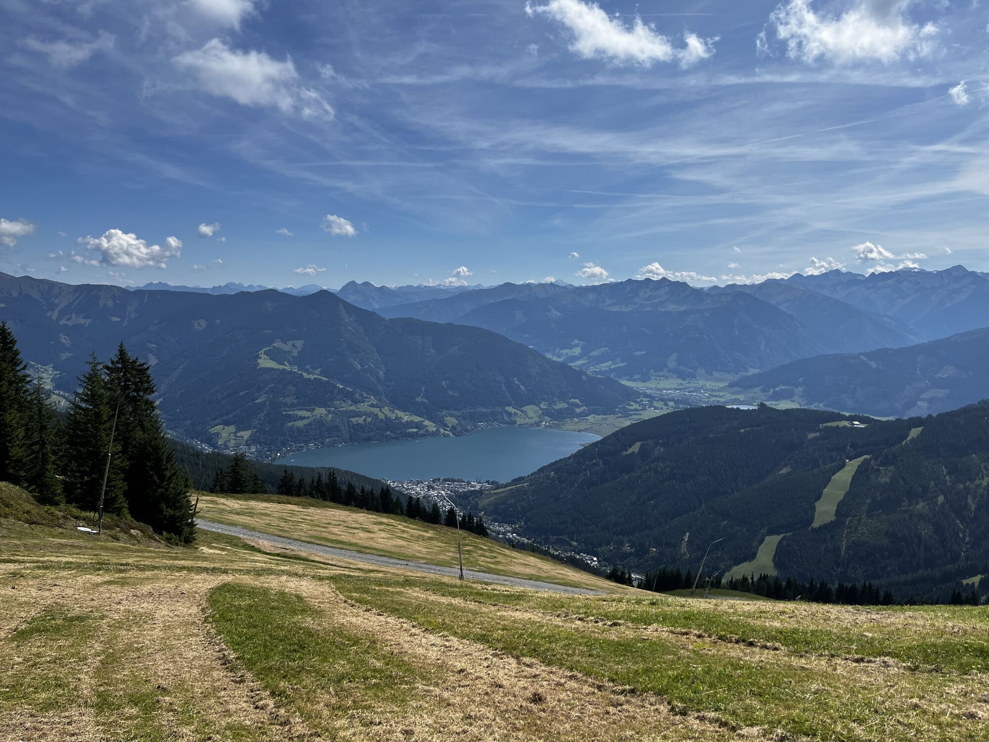
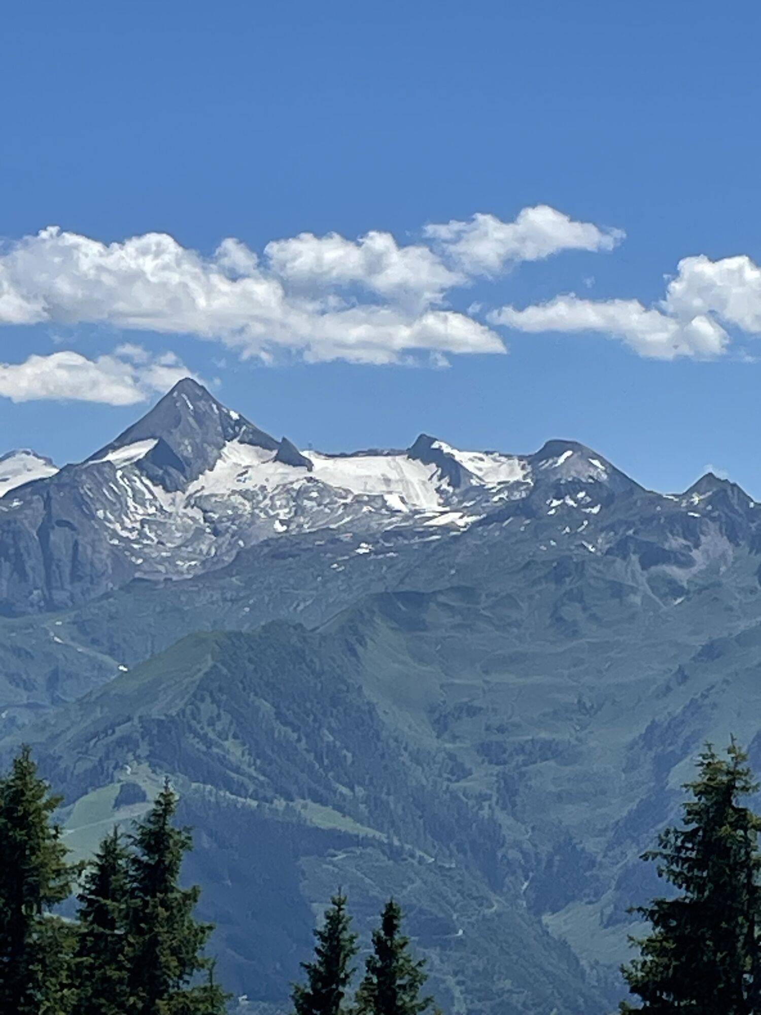
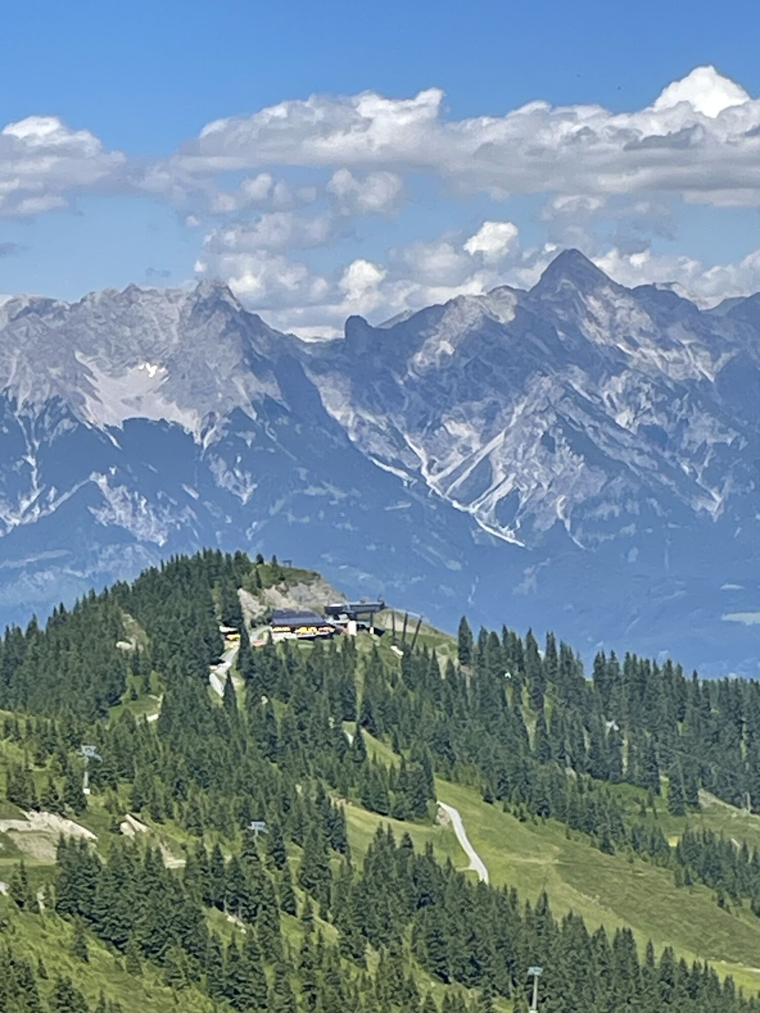
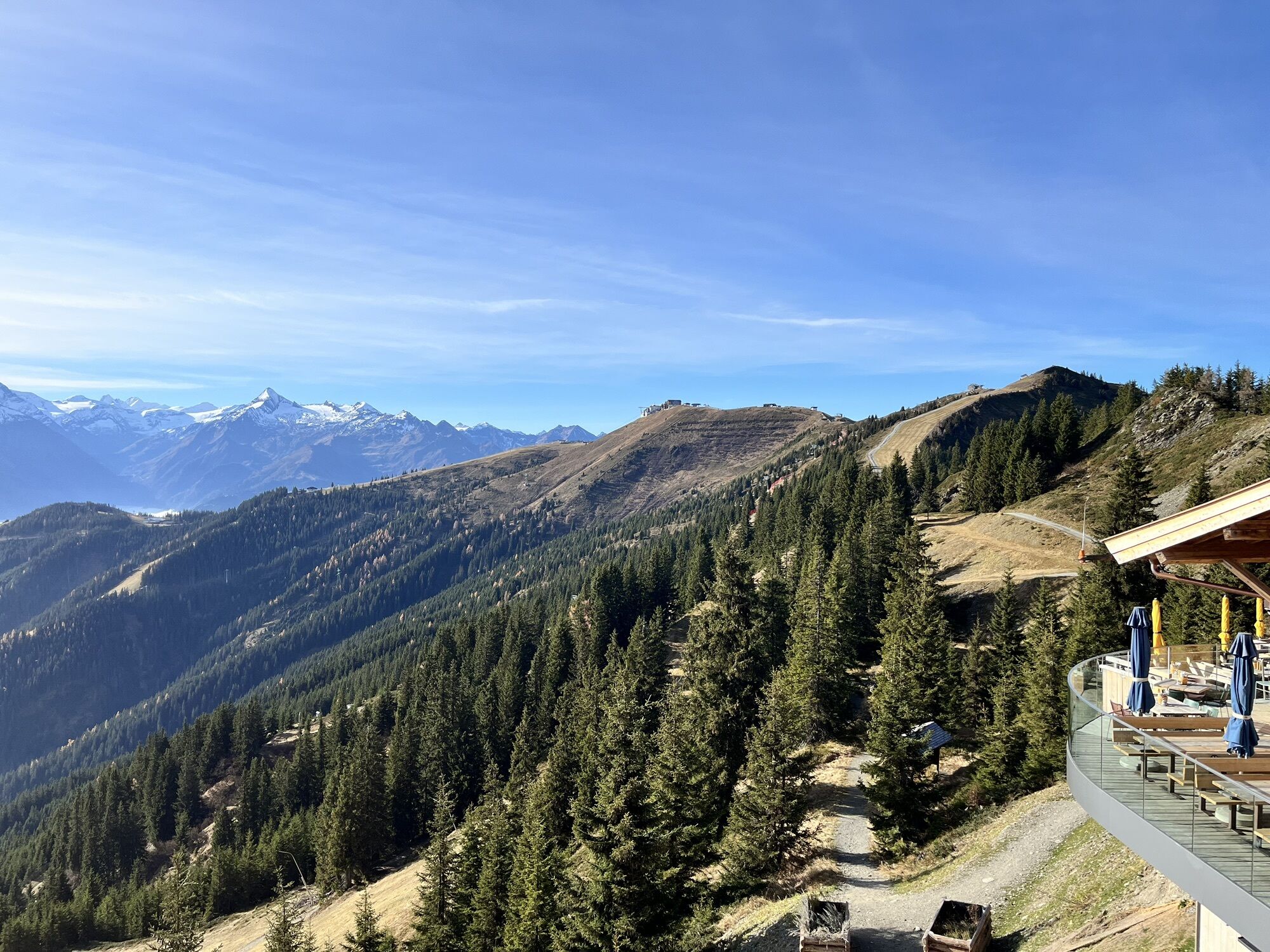
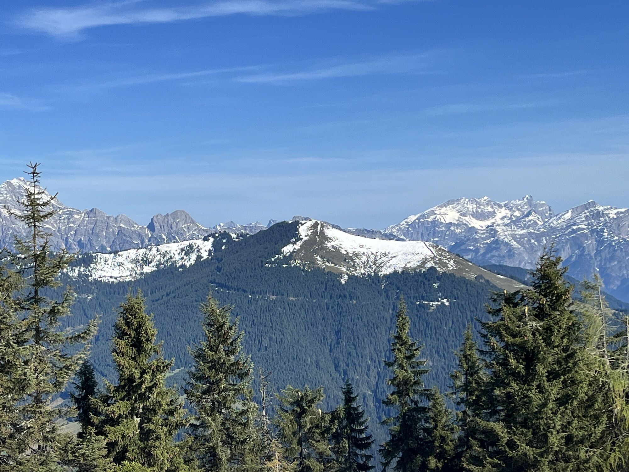
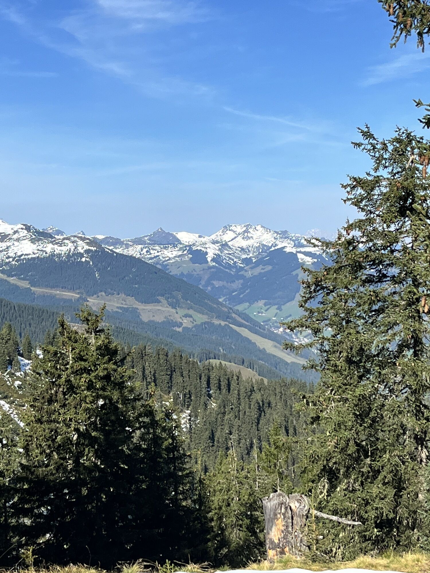
Not to forget: the panoramic view from Schmittenhöhe is simply breathtaking and accompanies you along the entire route.



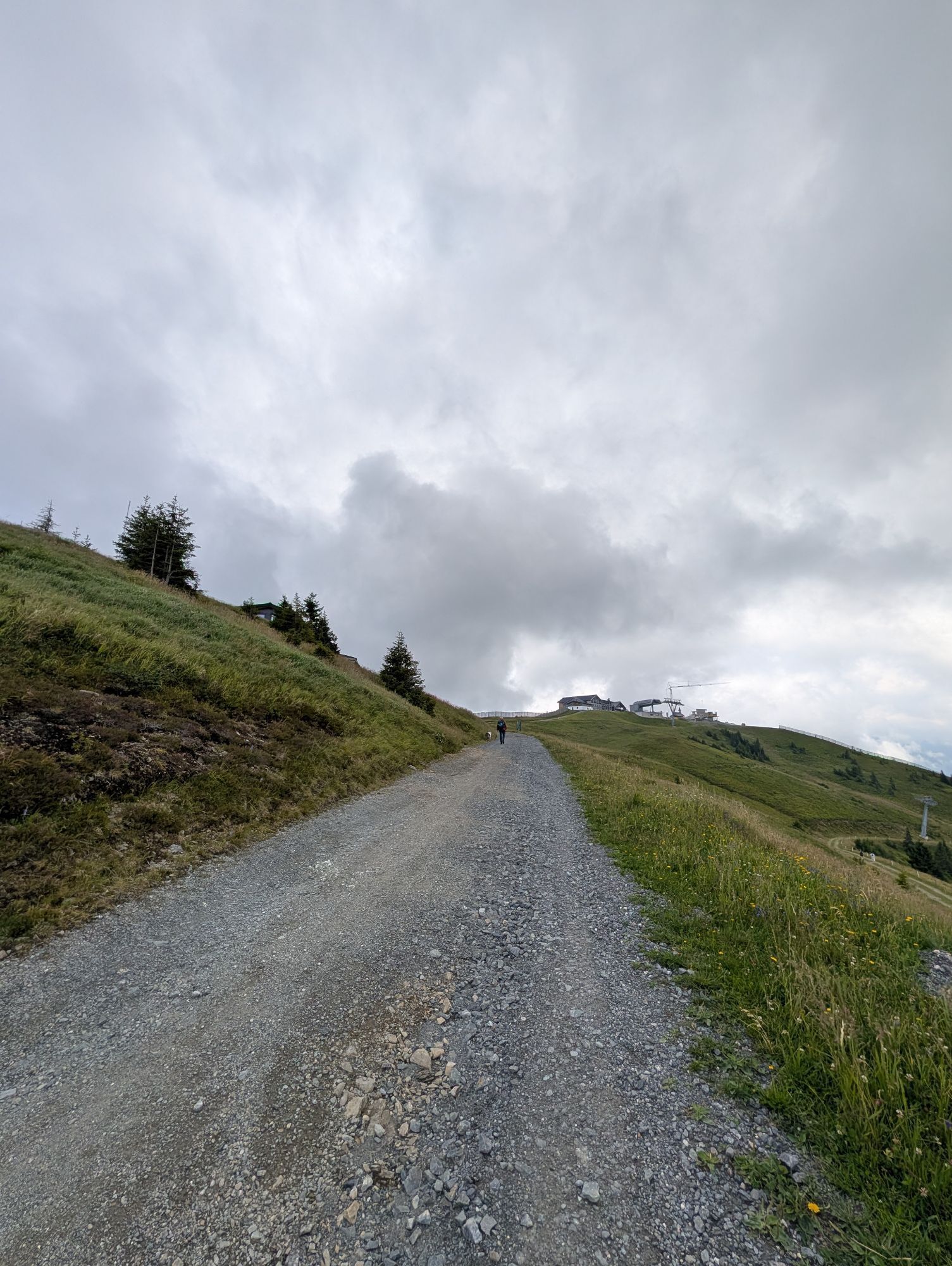
From Schmittenhöhe, it goes 2.5 kilometers and about 1.5 hours along the ridge below the crest. Past the Hochzeller Alm, along the Gratsenke and the Sallersbachköpfl, until you finally reach the Sonnkogel.
Áno
Áno
Áno
From Zell am See station, take city bus 71 to the valley station of the Schmittenhöhebahn (Tras-x-press).
Timetable information and download: Online at www.salzburg-verkehr.at or on your smartphone via the free Salzburg Verkehr app for Android and iOS.
Thomas Grah & Kristina Karl
5061 Elsbethen
Instagram: @adventuremo.de
FB: @adventuremo
Blog: www.adventuremo.de
Image credit: Thomas Grah
The summit of Sallersbachköpfel is practically on the way and also offers a stunning view.
The summit of Sonnkogel is also worth climbing at the end.
Ticket prices and more info about Schmittenhöhe can be found here.
Tip for season pass holders: Voucher in the Salzburg Verkehr bonus booklet for a discounted cable car ride up and down Schmitten (Status: 2024)


Webové kamery z prehliadky


Obľúbené výlety v okolí
-
4,4
Schwalbenwand Nr. 80, 81, 82
strednáTuristika 13,0 km -
4,6
Steinalm
svetloTuristika 2,71 km -
4,2
Maurerkogel (Top)
Turistika 10,5 km -
4,7
Panorama route 3 peaks and 2 lakes
strednáTuristika 7,21 km -
5,0
Leo’s play hiking trail
svetloTematická trasa 4,89 km -
4,6
MTB route Ramseiden round (route 1)
strednáMountainbike 18,9 km -
4,2
Passauer Hütte
ťažkéTuristika 4,14 km -
4,1
Berg der Sinne
svetloTuristika 4,39 km -
4,6
Sigmund Thun Klamm, Klammsee, Bürgkogel
svetloTuristika 4,56 km -
4,6
Thumersbach, Runde um den Zeller See
svetloTuristika 13,3 km
Turistika a stopovanie


Nenechajte si ujsť ponuky a inšpiráciu na ďalšiu dovolenku
Vaša e-mailová adresa bol pridaný do poštového zoznamu.





