


Saalachtaler circular route - 3rd Day - Variant B
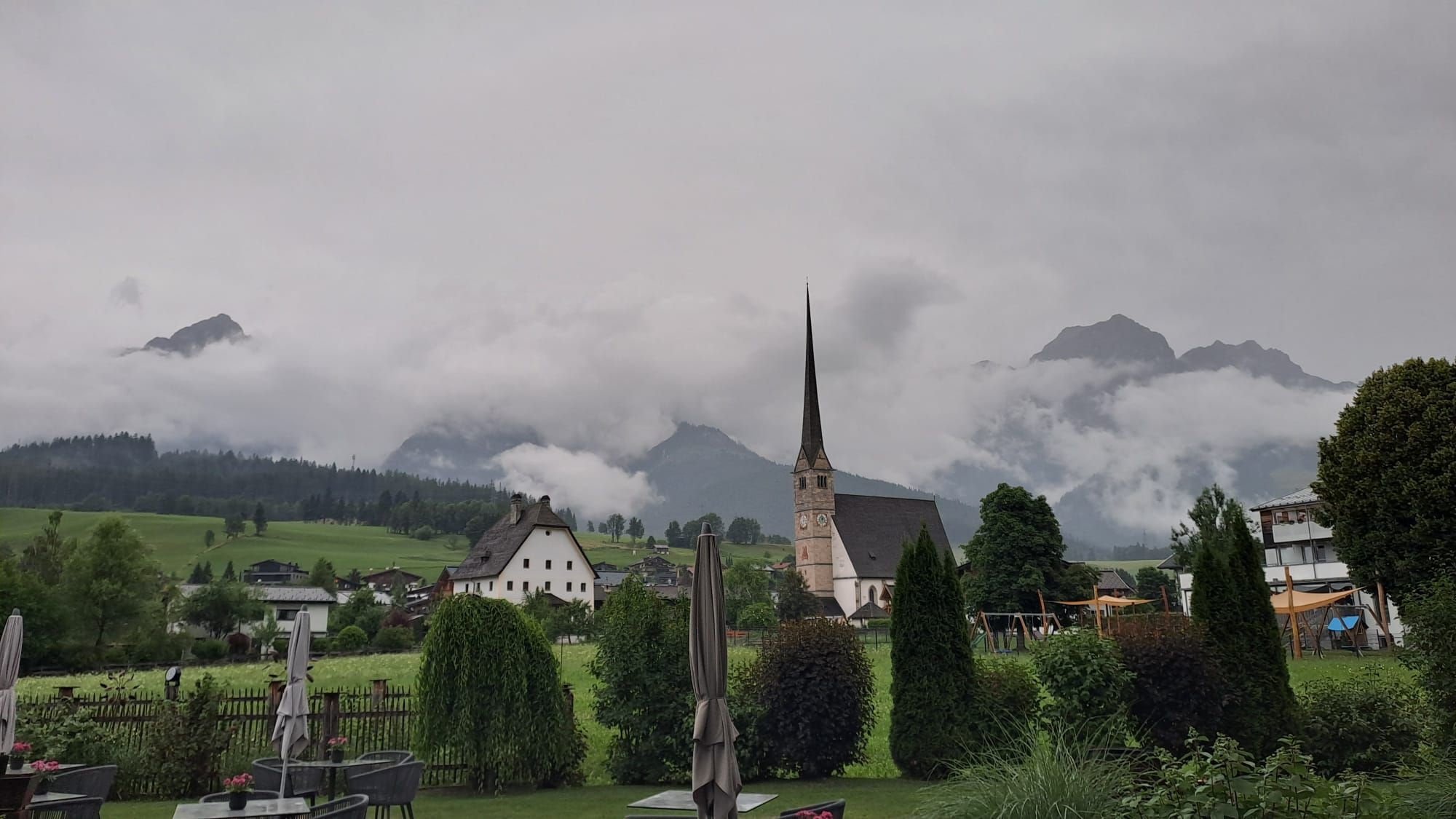
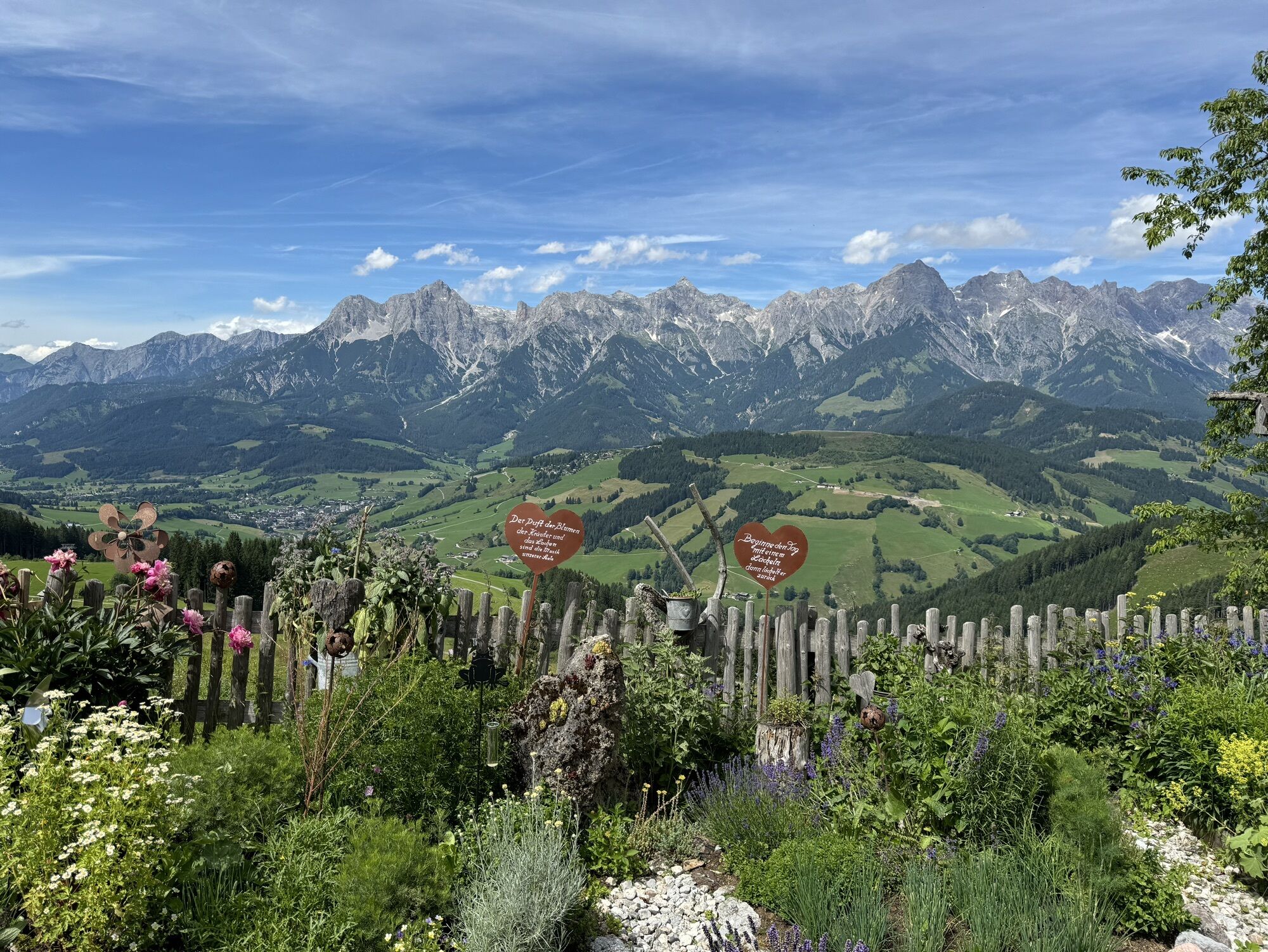

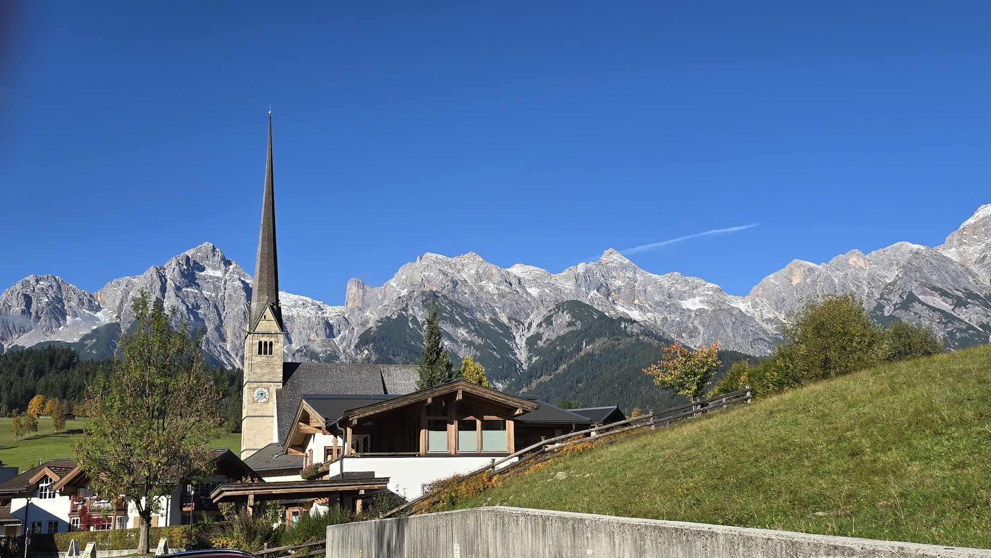
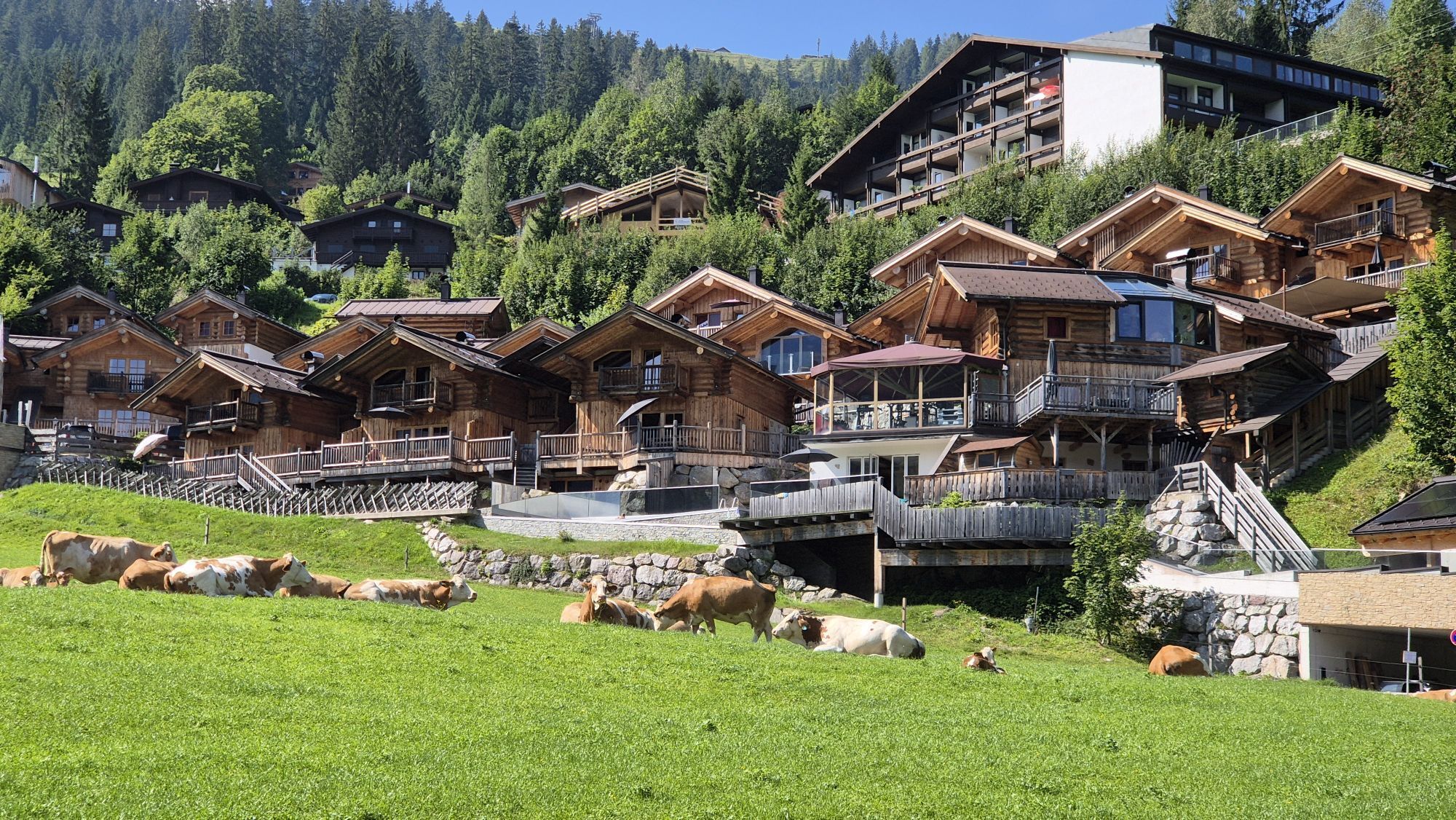
Maria Alm
Gasthaus Christernreit (serviced)
Tischleralm (serviced)
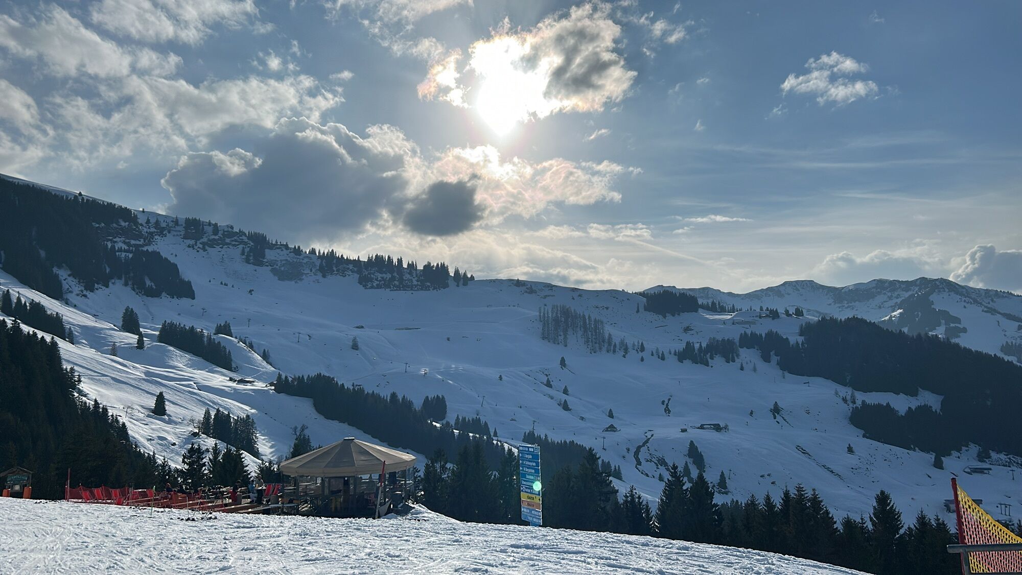
Abergalmen (not serviced)
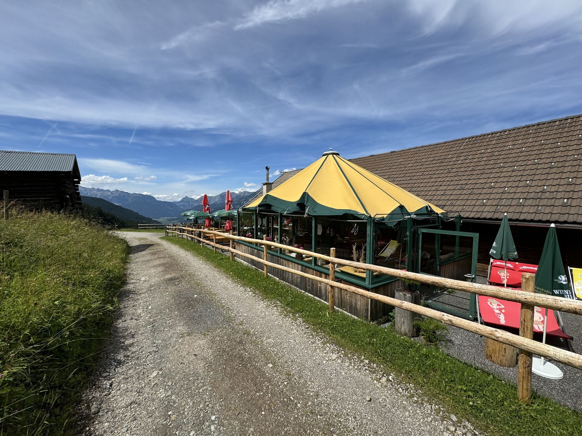
Thoraualm (serviced)
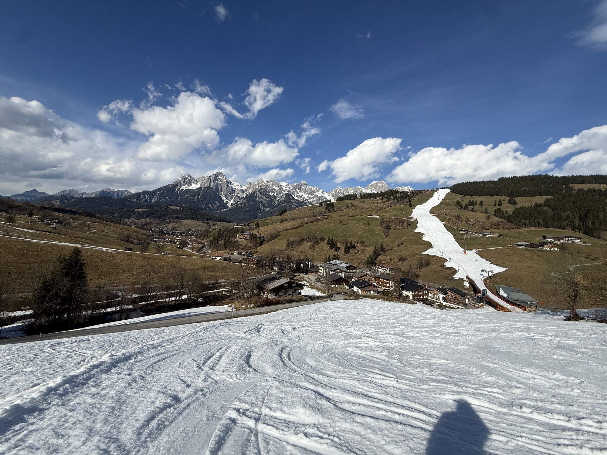
Hintermoos

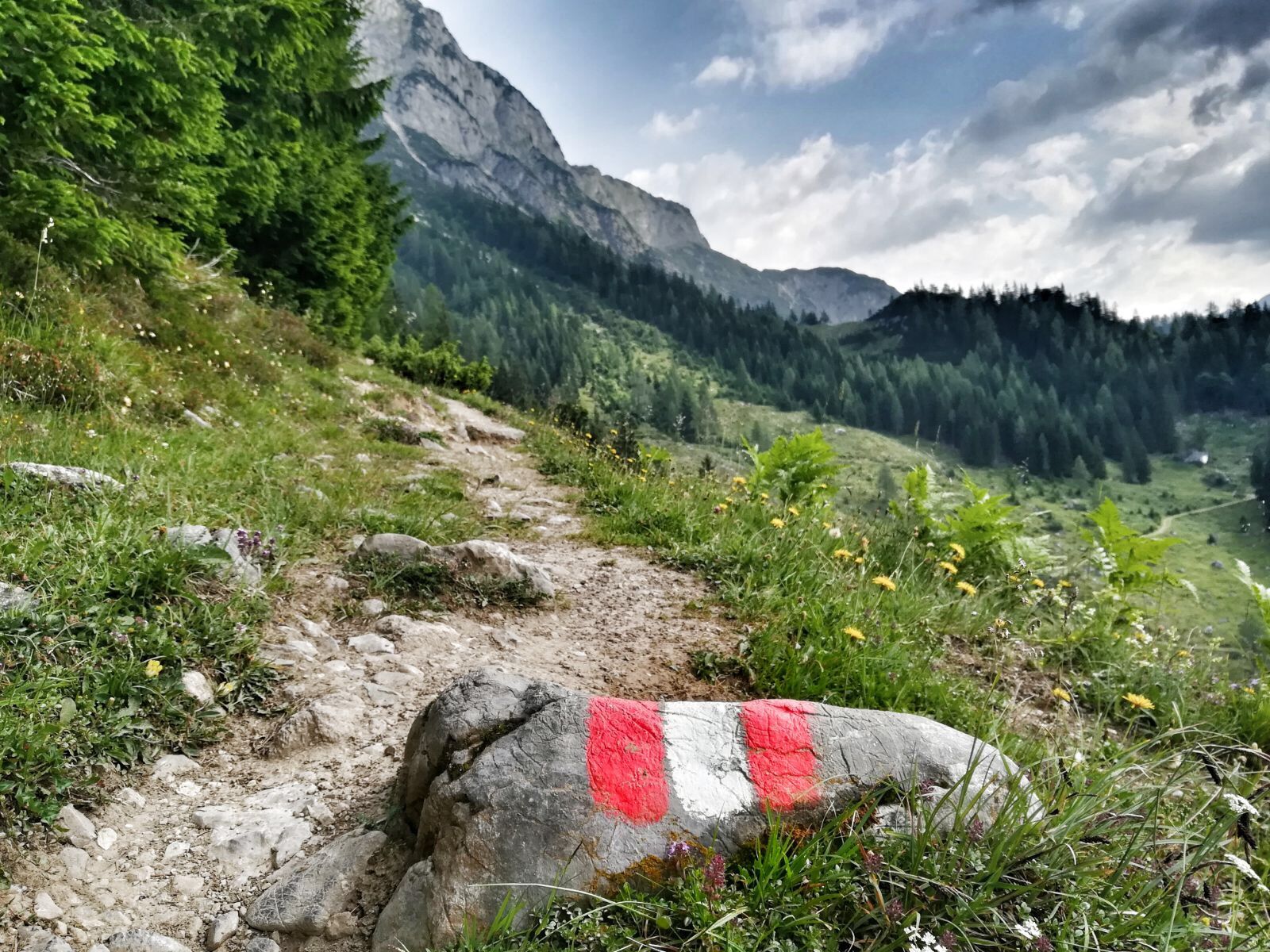
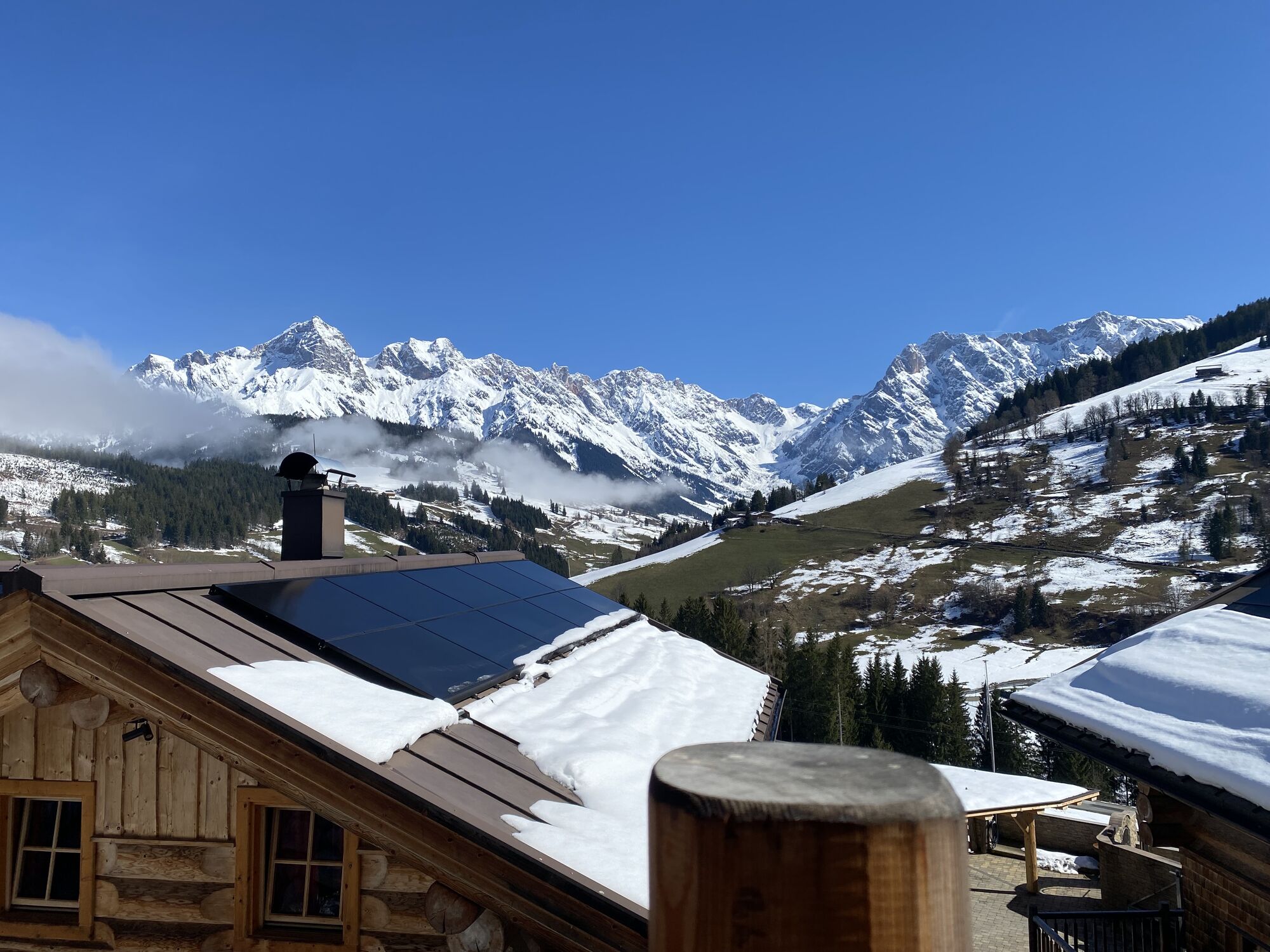
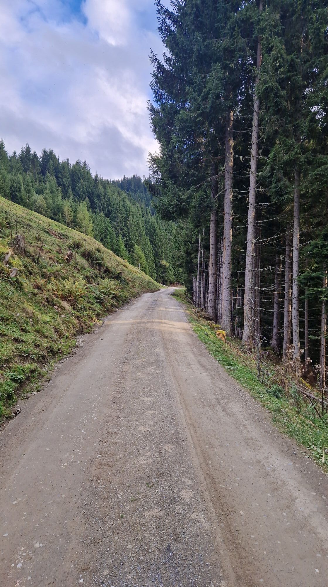
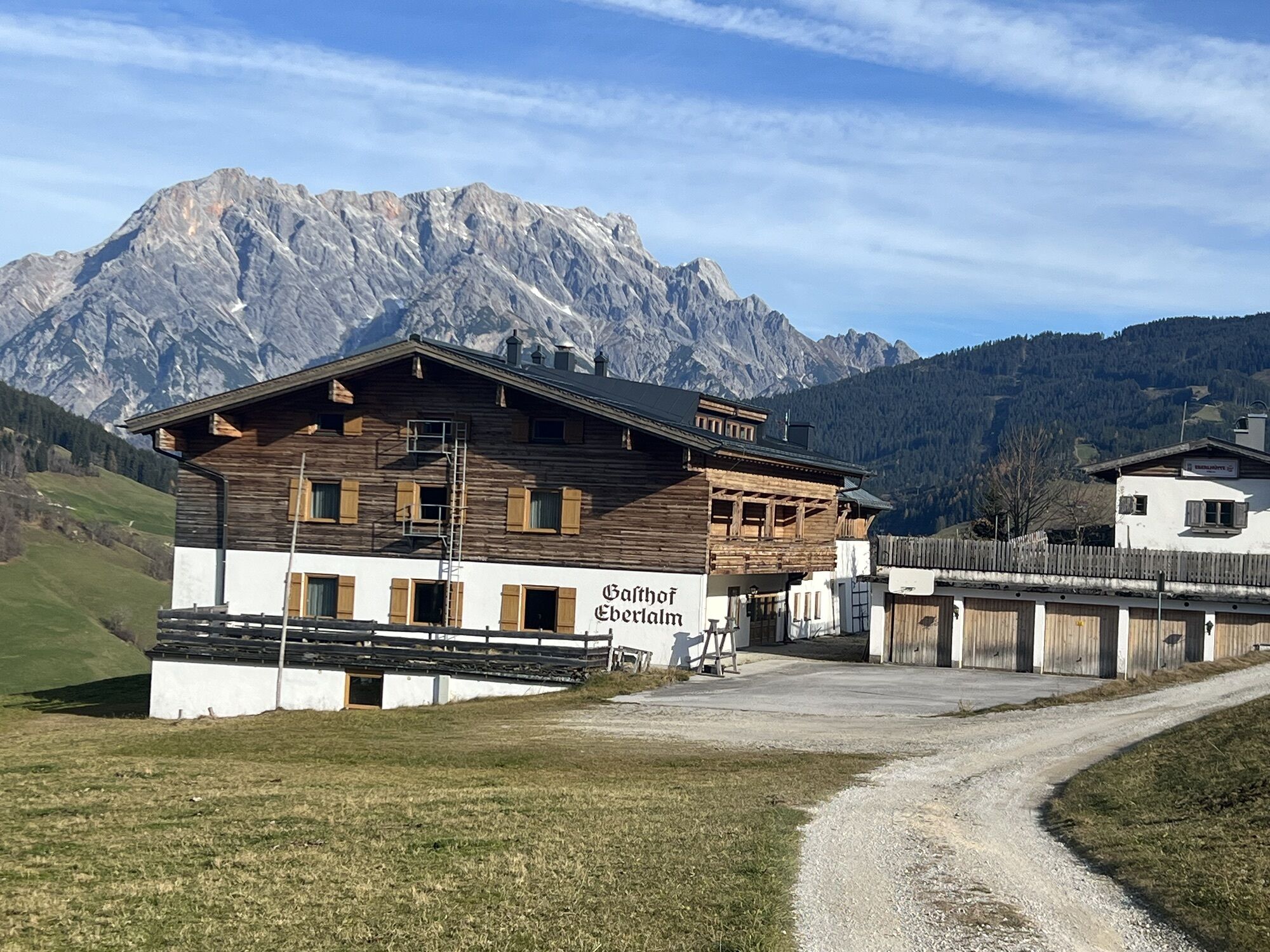
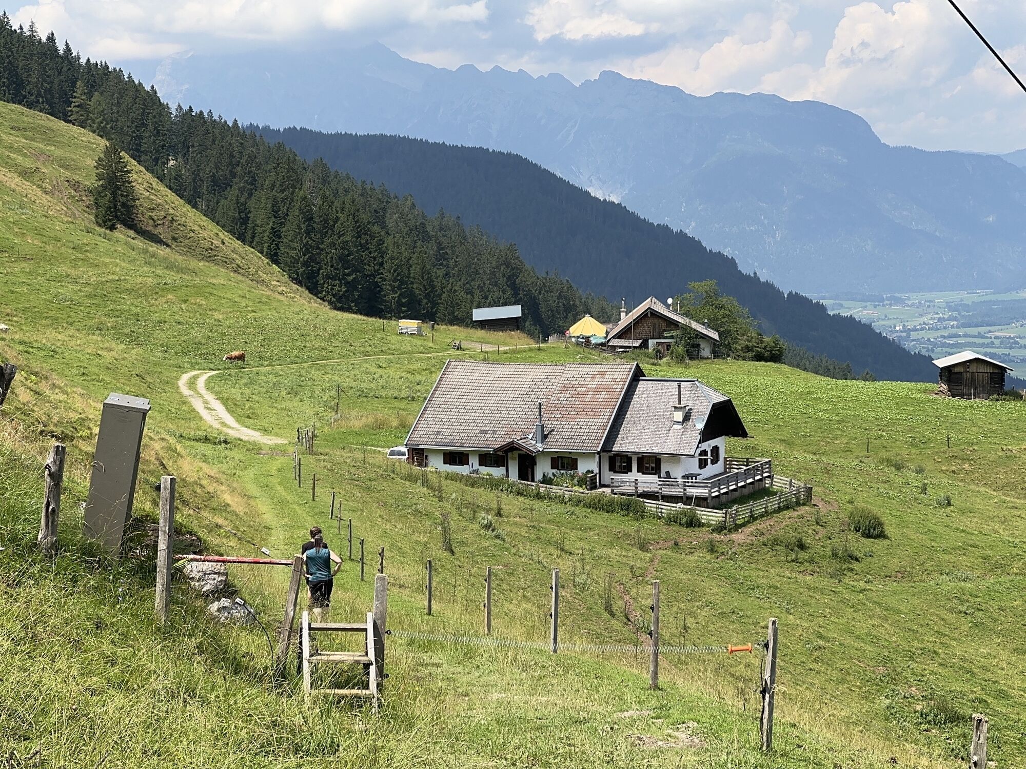
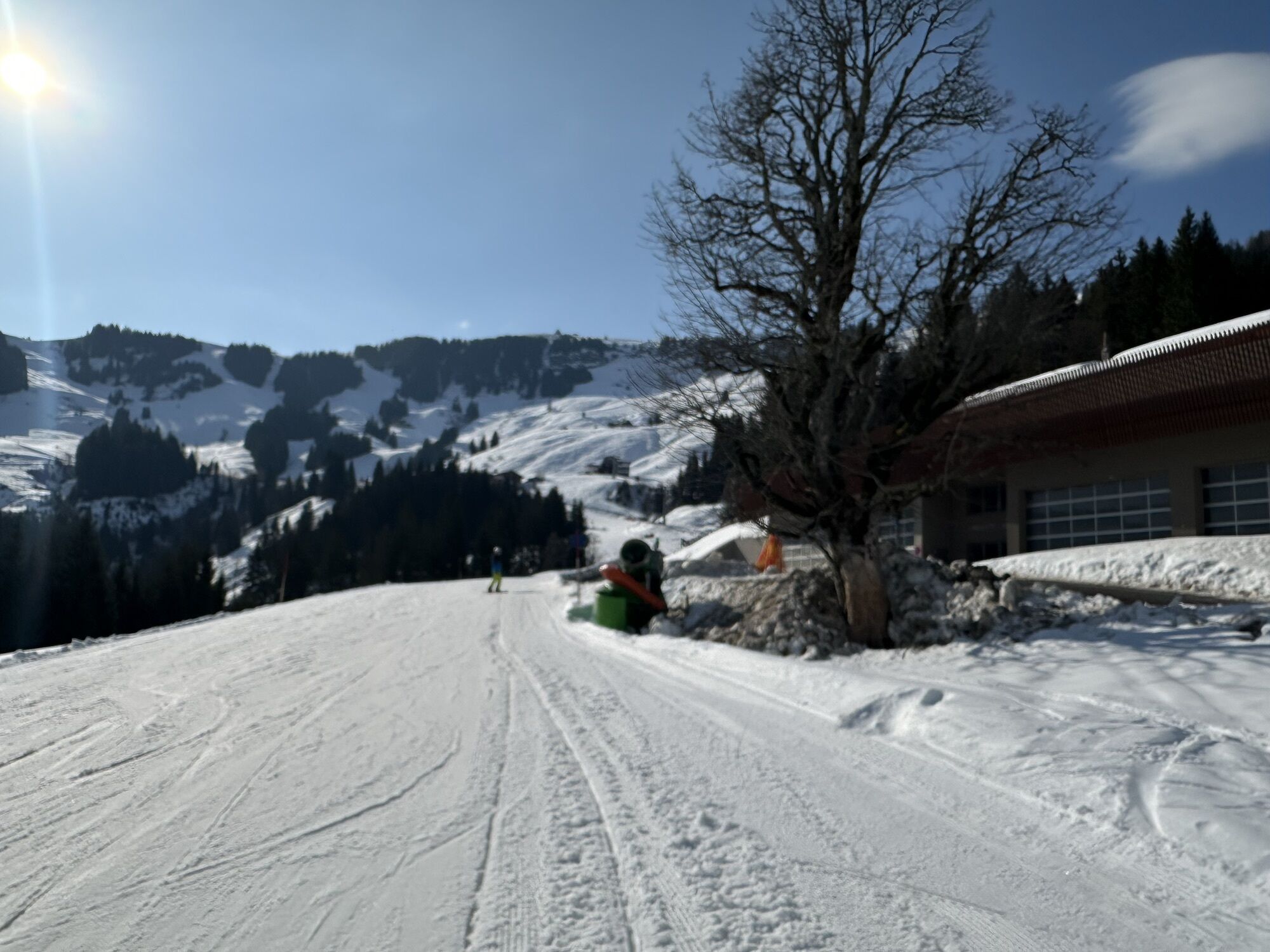
From the town of Maria Alm, you walk in the valley for a few minutes towards Hinterthal until the bridge on the right over the small Urslau river and follow the side road on the right side to Unterberg, and here first turn right uphill on the "Güterweg Aberg" (Eberlalm, Gasthaus Christernreit), after some switchbacks a narrow hiking trail branches off to the right with the sign "to Hundstein." The path also leads to the Gasthof Christernreit, which you reach after about 30 minutes of walking and later to the Schranbachalm junction.
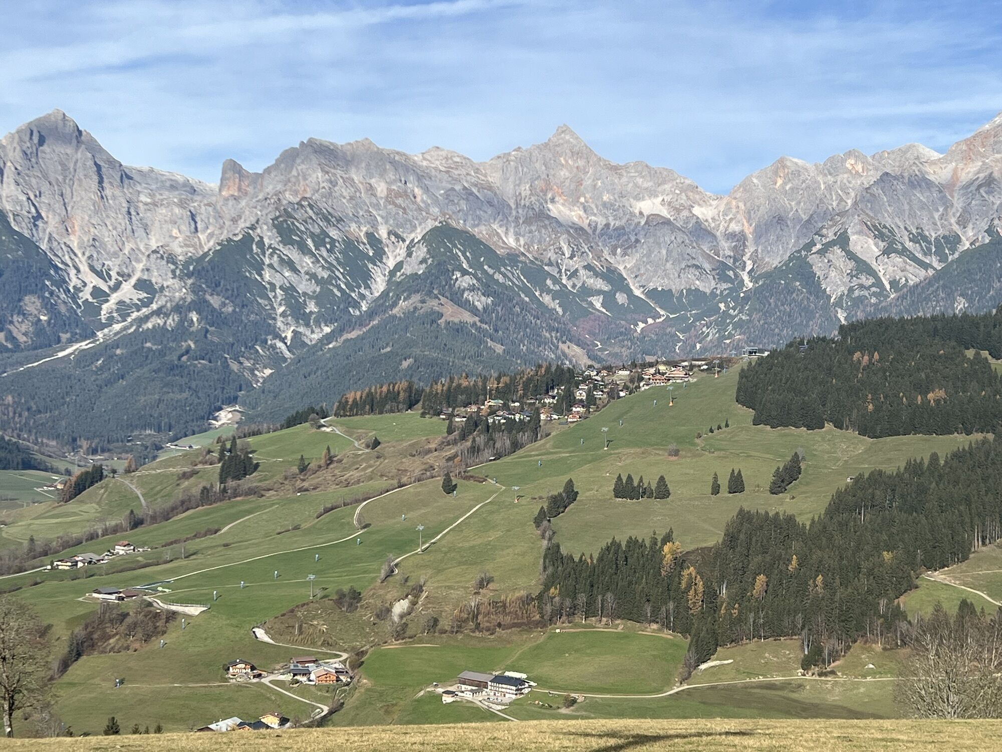
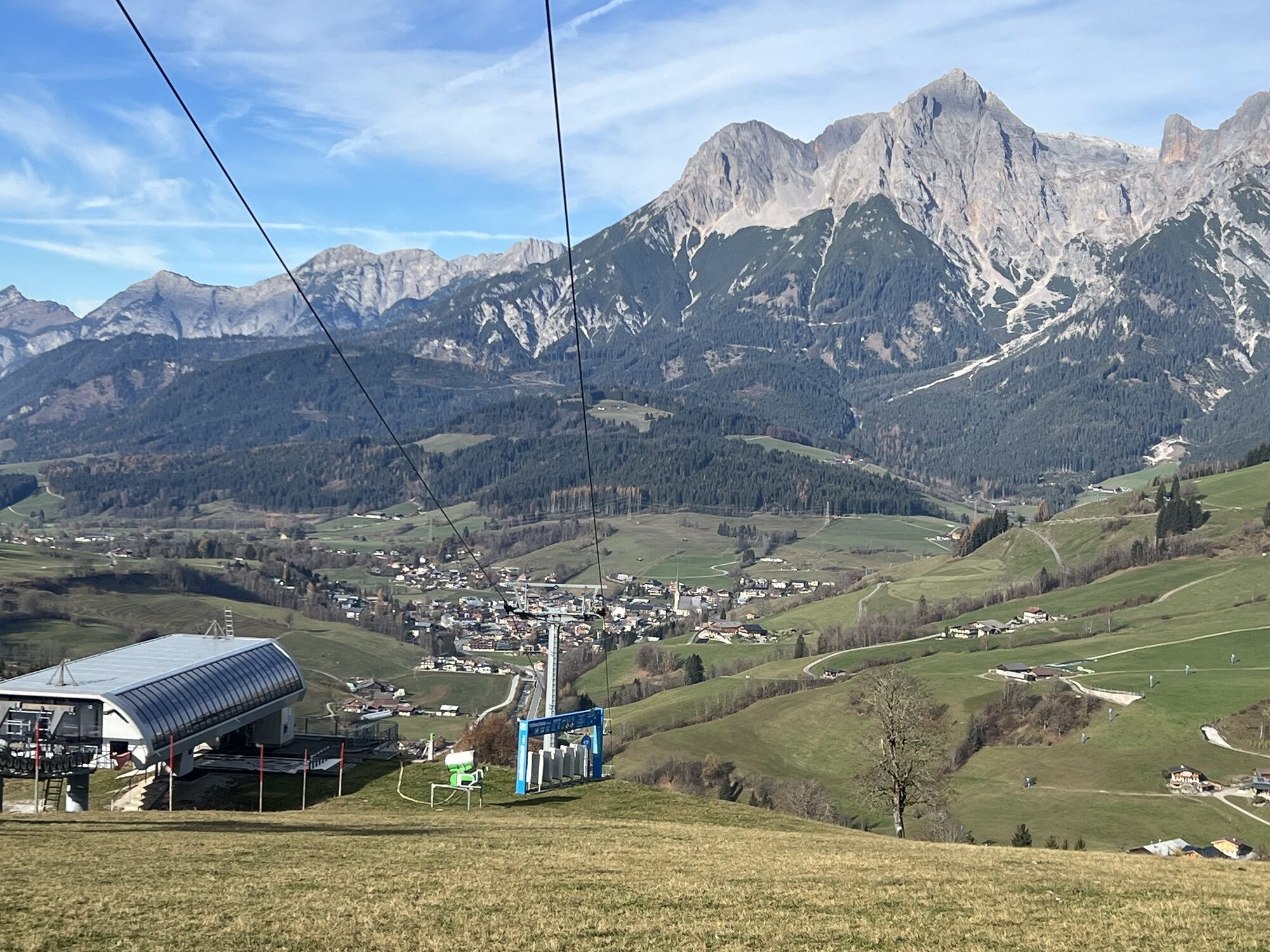
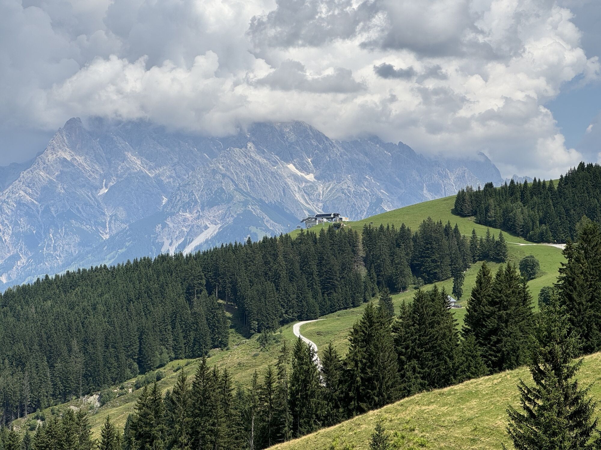
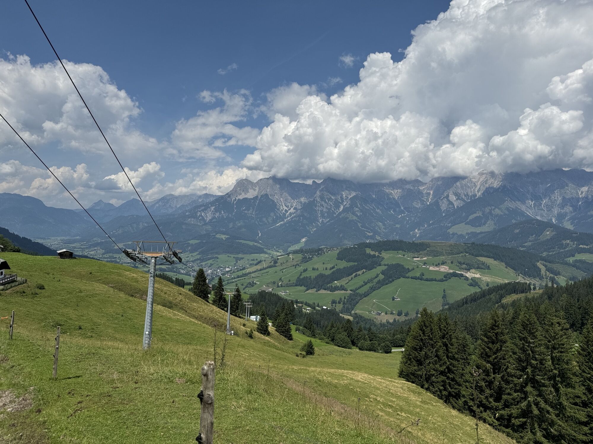
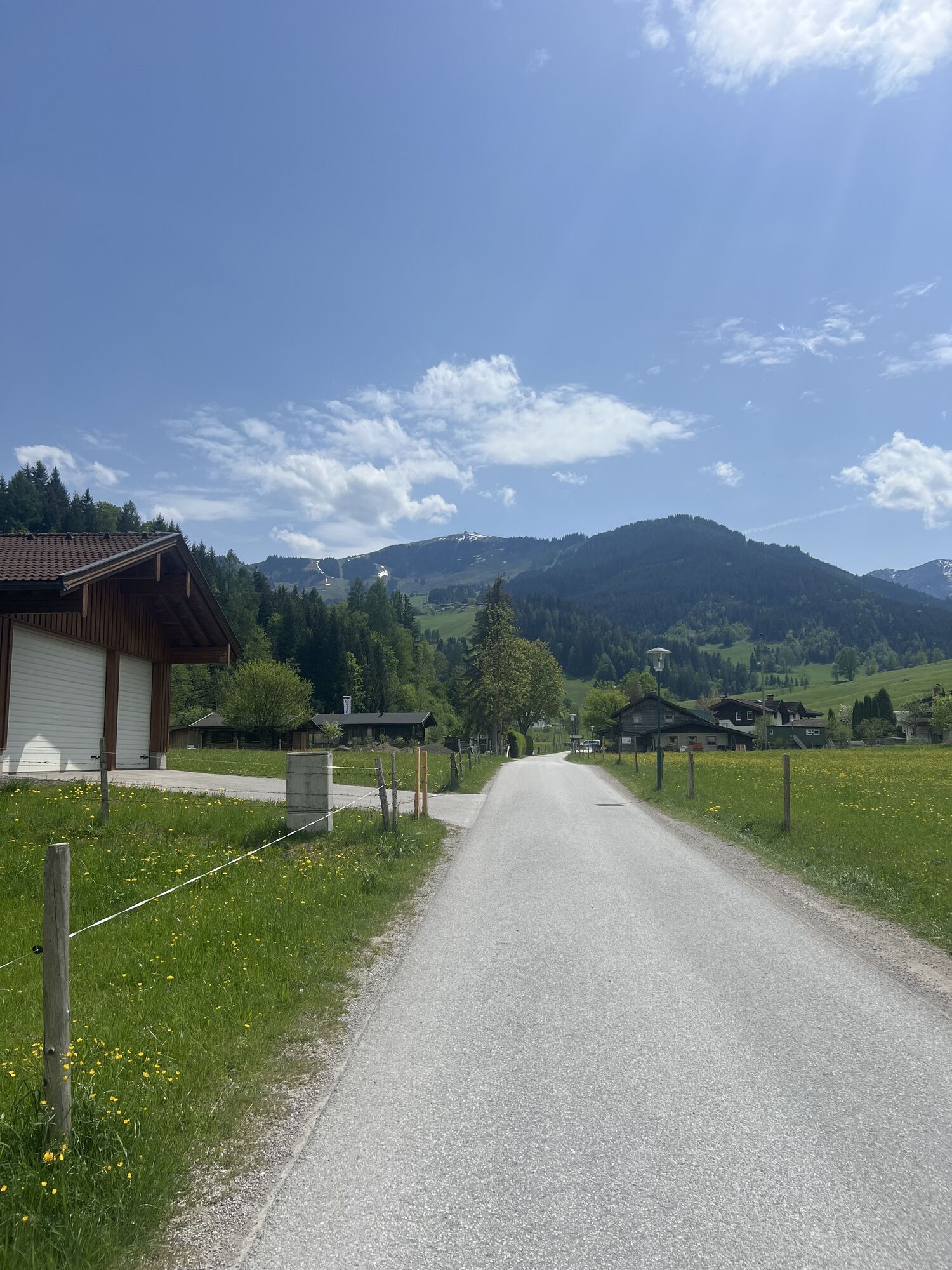
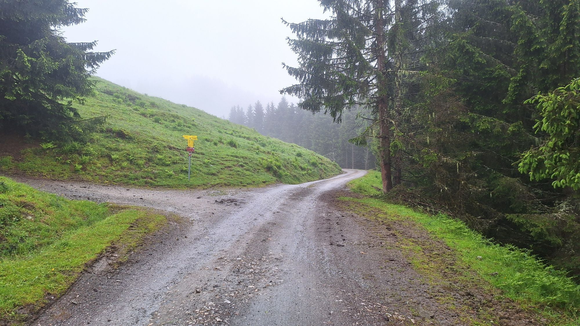
Here, however, do not turn right but go straight on the path to Tischleralm (serviced) and further uphill to the mountain inn Abergalm (not serviced). Here you meet the Güterweg, which leads right to Hundstein, but for us goes left flat to the upper station of the Schwarzeckalmbahn and to Thoraualm. The Schwarzeckalmbahn thus offers the option of a descent by cable car. On foot (about 45 minutes more), follow the Güterweg down the valley and after a total of about 3 hours descent, you reach the valley at Hintermoos, where you find your accommodation.
Sturdy footwear, map material, small first aid kit, sun, wind and rain protection, sunscreen, sufficient water / food, binoculars
European emergency number: 112
Phone number of the Austrian mountain rescue: 140
Please observe the seasonal opening hours of the serviced alpine huts!
The long-distance hiking trail is bookable as a package "hiking without luggage" at Saalfelden Leogang
Here the timetable for local public transport
Obľúbené výlety v okolí
-
4,2
Maria Alm - Riemannhaus
Turistika 3,99 km -
4,8
Summit stormer route Lauskopf
ťažkéTuristika 8,16 km -
4,8
Summit storming route Taghaube
ťažkéTuristika 6,25 km -
4,7
About the "Four Huts circular route" to Windraucheggalm
strednáTuristika 10,1 km -
4,6
Steinalm
svetloTuristika 2,71 km -
4,3
Schwalbenwand Nr. 80, 81, 82
strednáTuristika 13,0 km -
4,4
Peter-Wiechenthaler Hut
strednáTuristika 4,32 km -
4,8
Hochkönig - Gipfel der Gefühle - Matrashaus
ťažkéTuristika 20,9 km -
4,4
Alpine and hut hike "Hochmaisalm & Steinbockalm"
strednáTuristika 8,10 km -
4,8
Highlight Kitzlochklamm Classic round
strednáTuristika 2,02 km
Turistika a stopovanie


Nenechajte si ujsť ponuky a inšpiráciu na ďalšiu dovolenku
Vaša e-mailová adresa bol pridaný do poštového zoznamu.