







Großarl: Großwildalm - Penkkopf - Karseggalm - Breitenebenalm

Úroveň náročnosti: T2
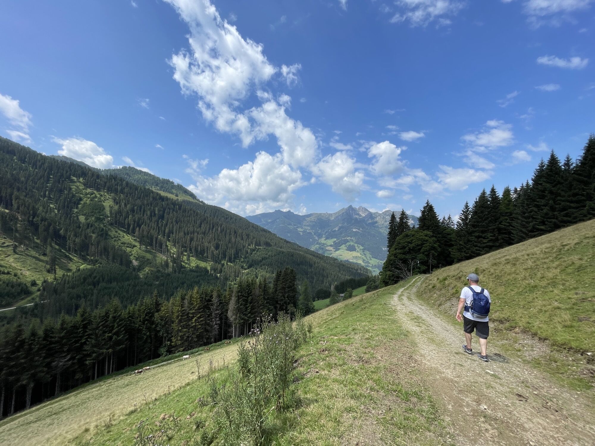
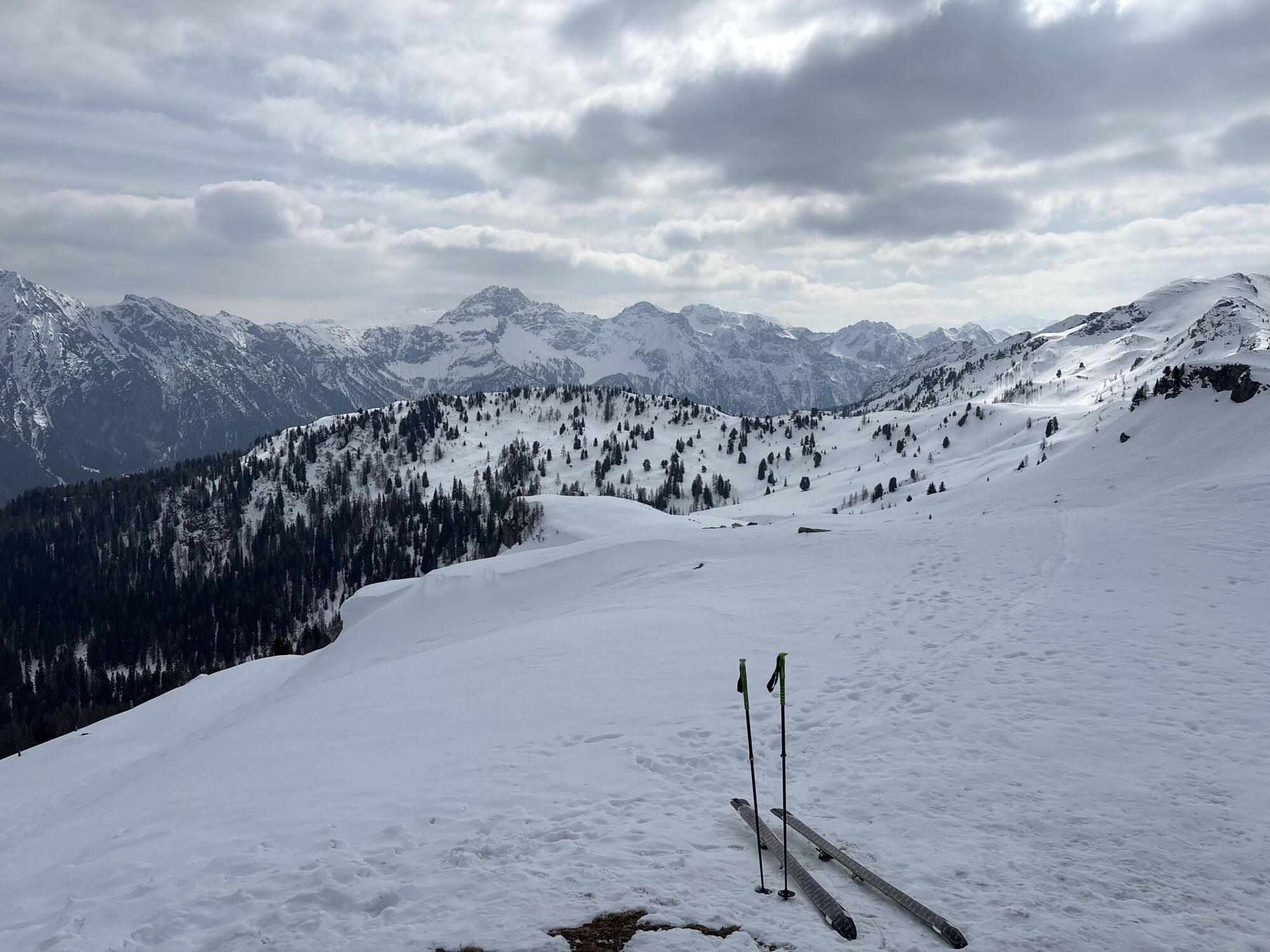
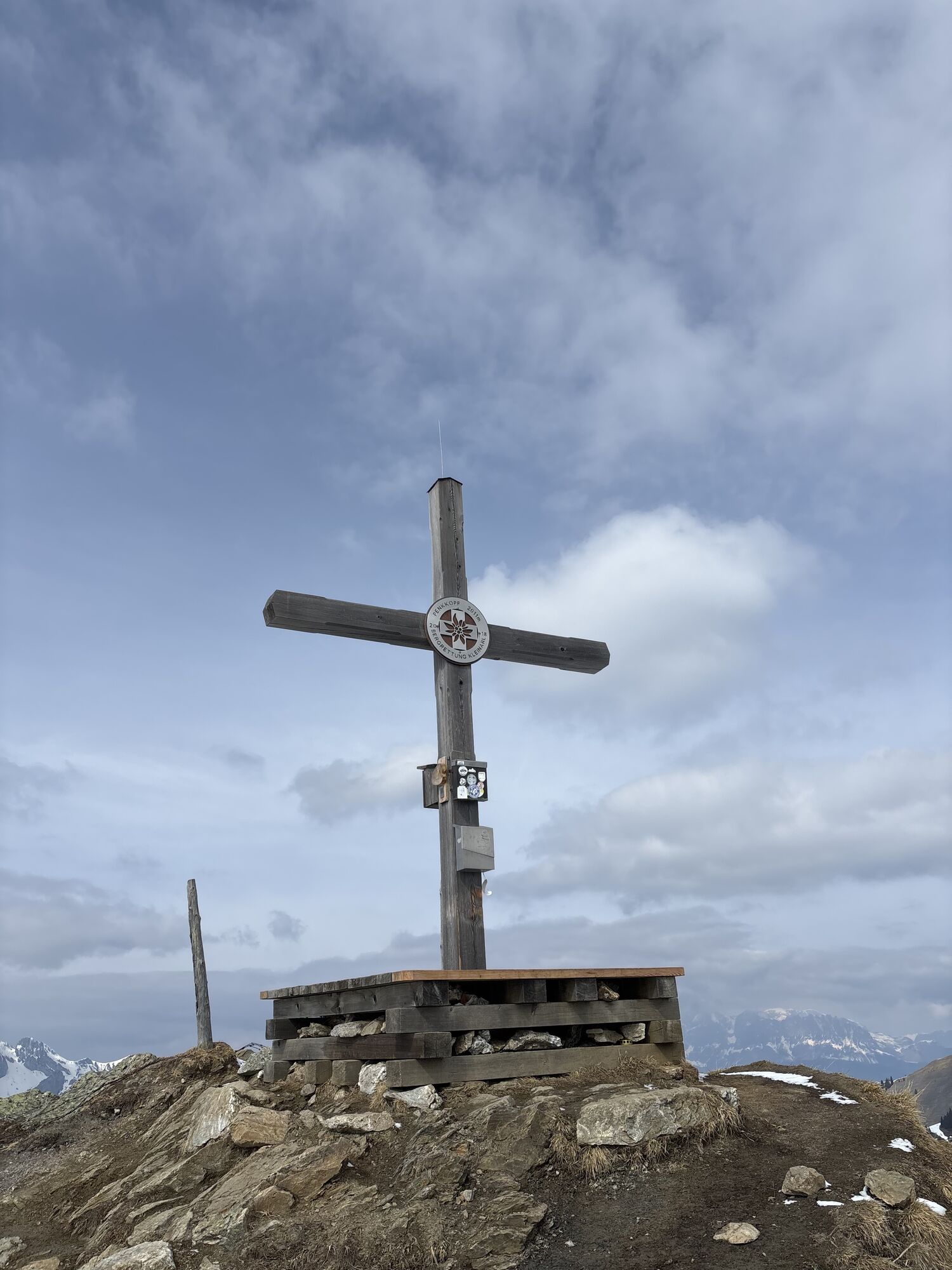
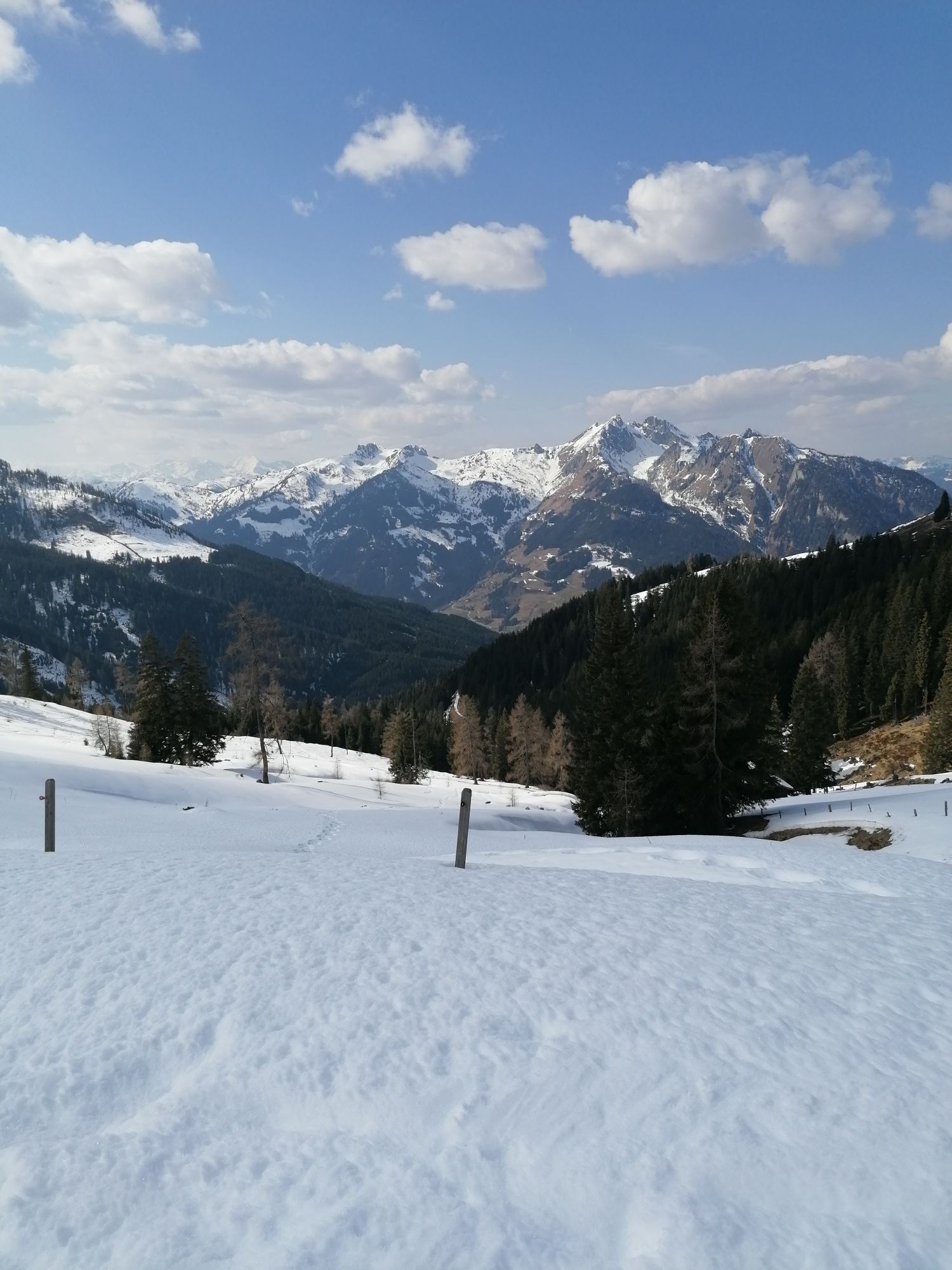
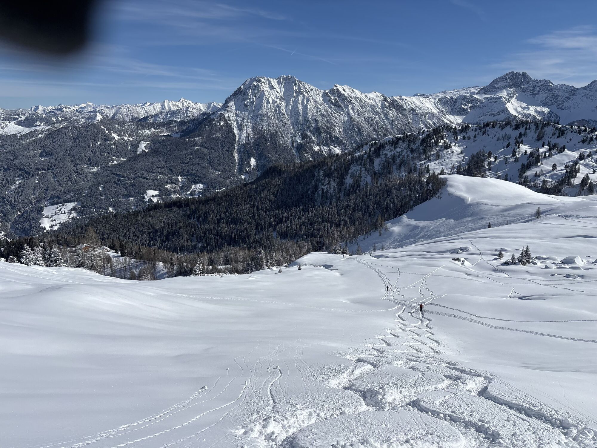
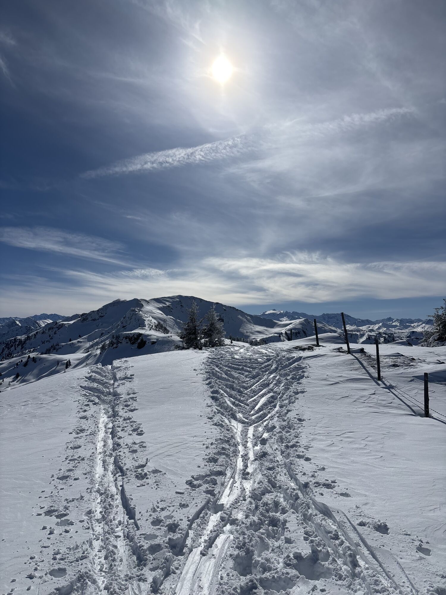
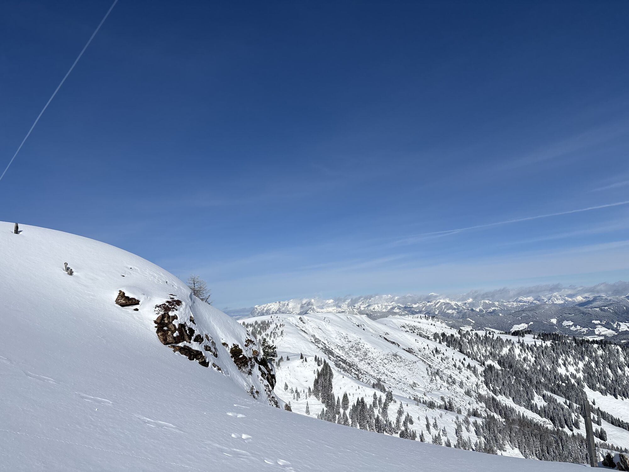
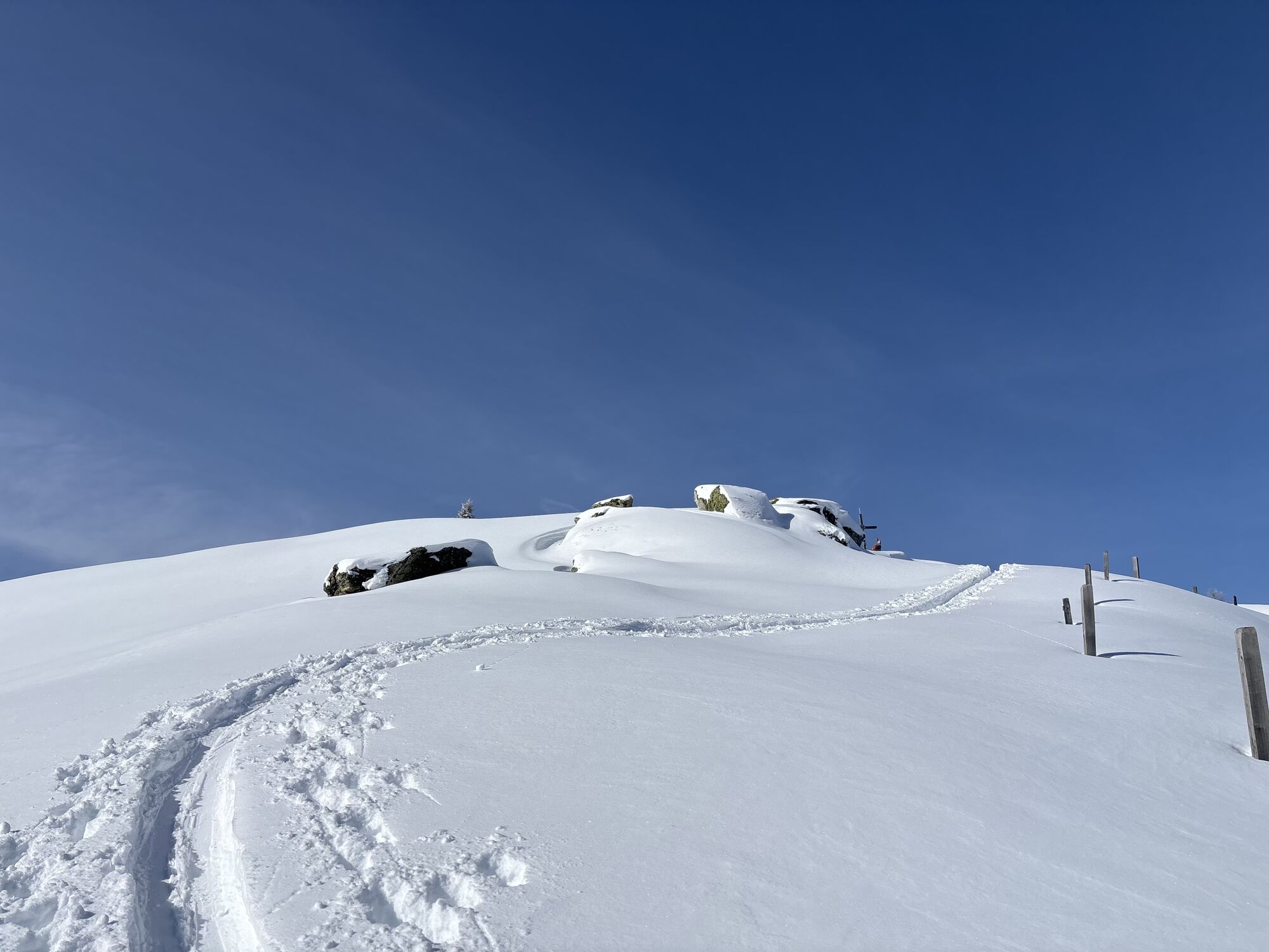
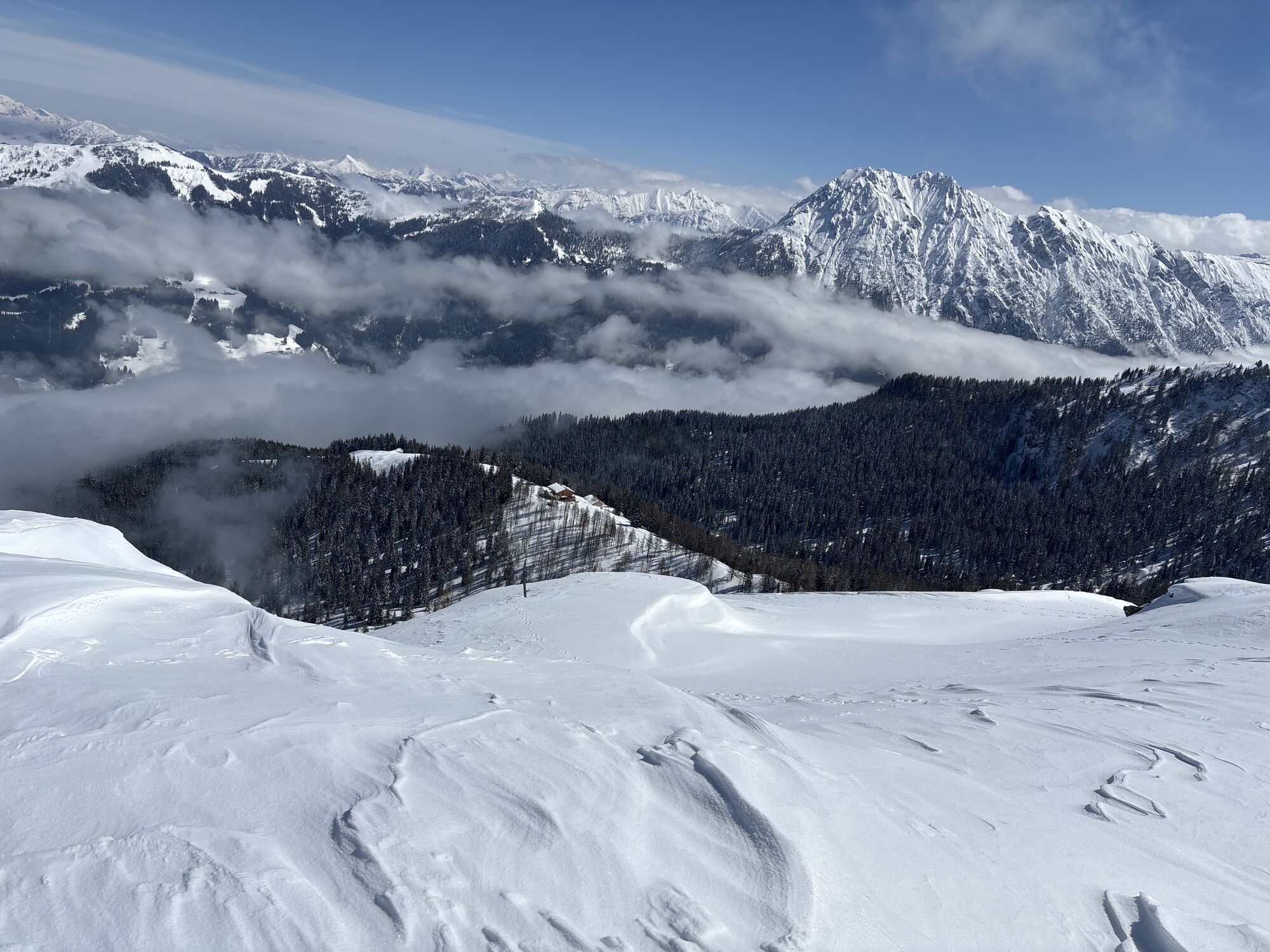
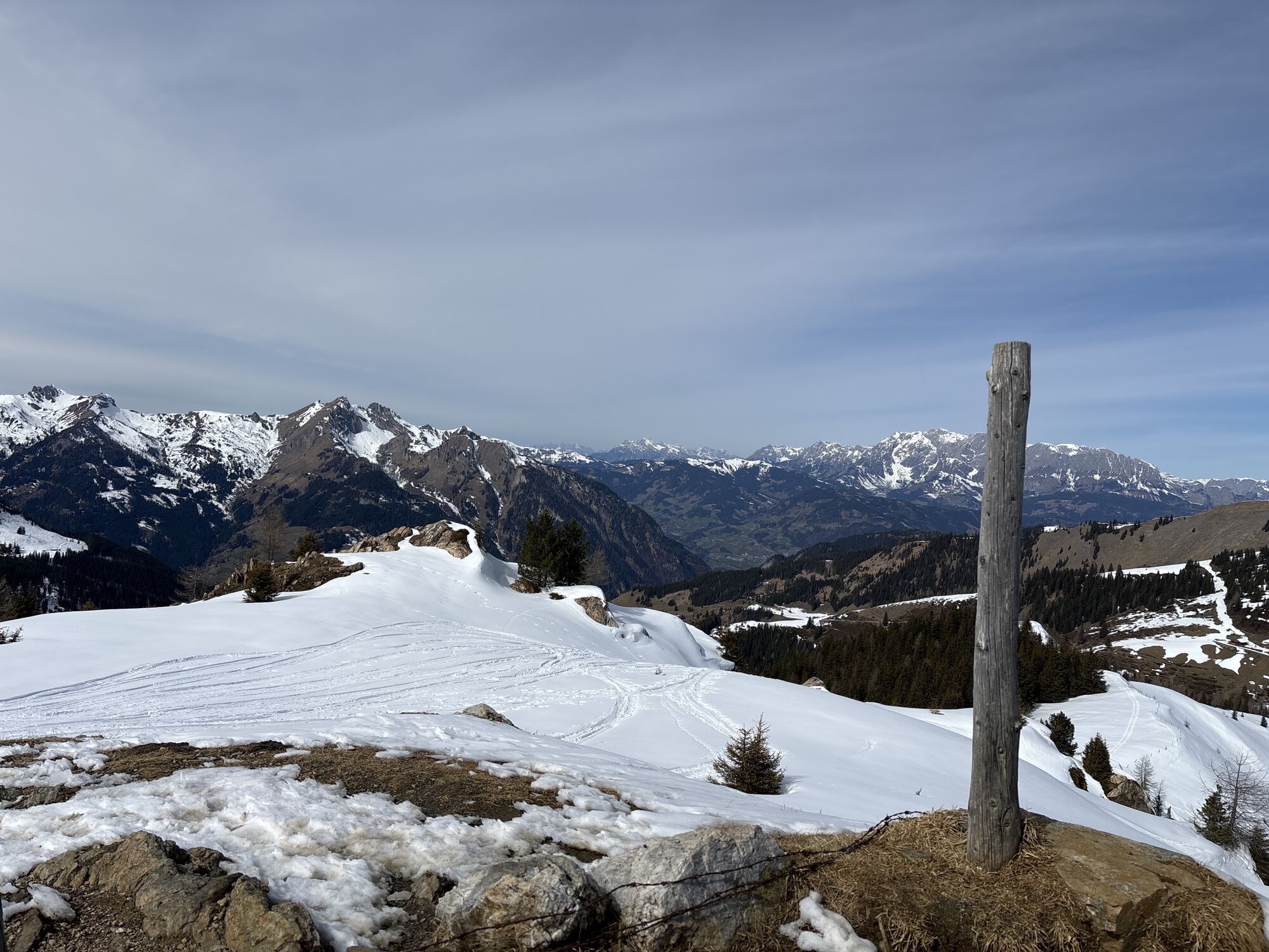
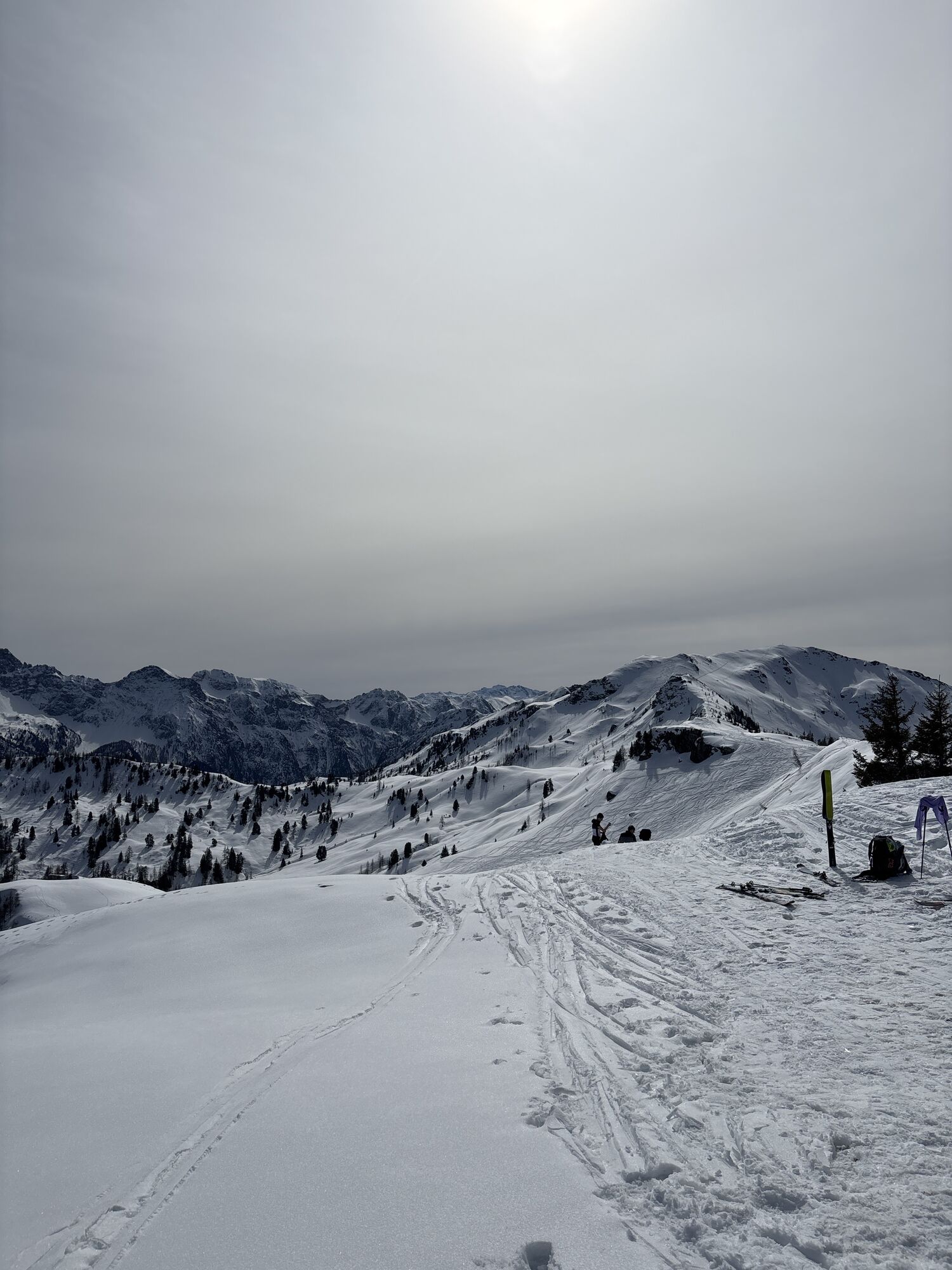

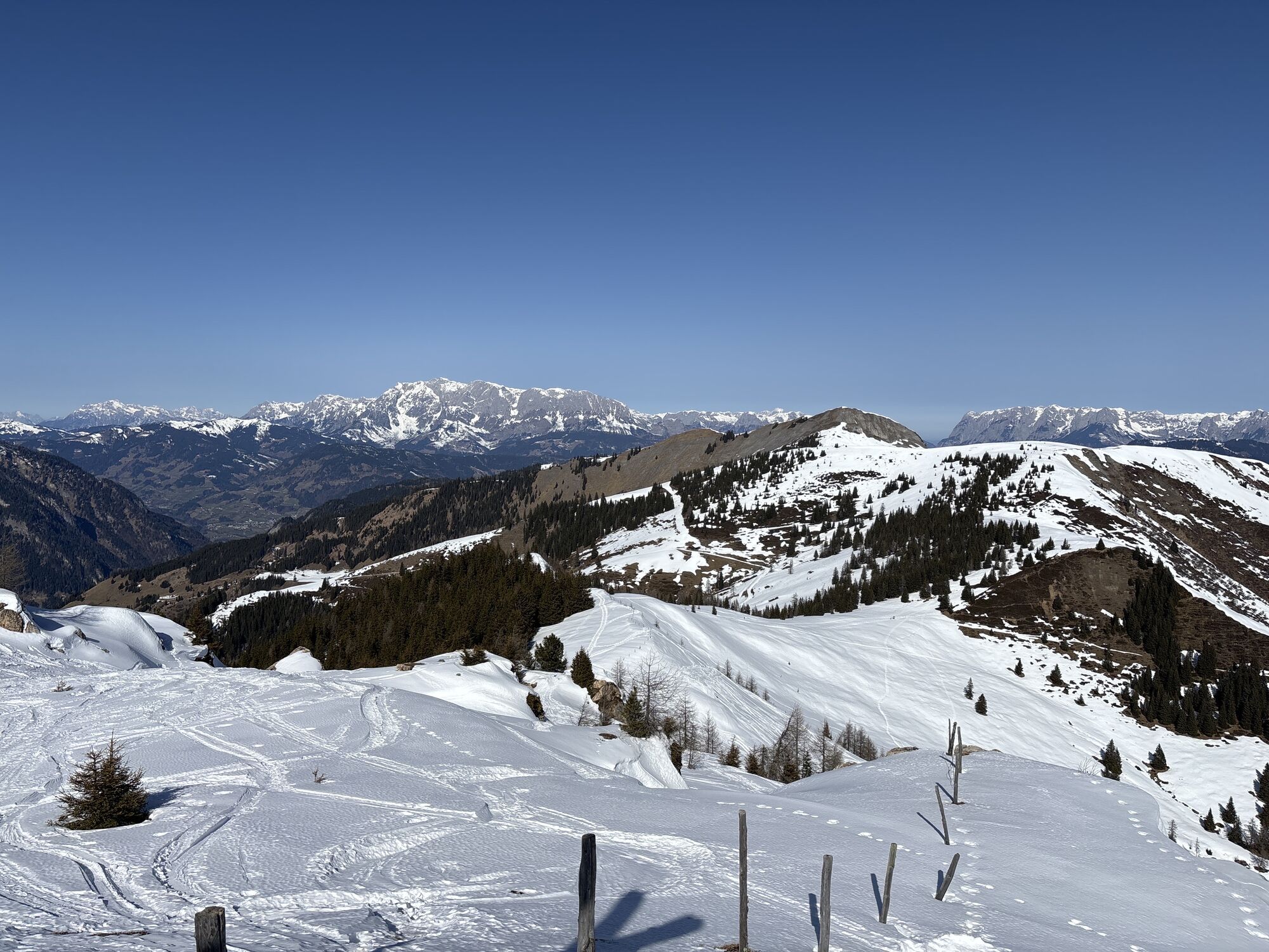
The ascent starts from the Breiteneben Schranke car park via the forest road or shortcuts through the forest past the Breitenebenalm.
From there, climb a hiking path to the Großwildalm, where hikers are...
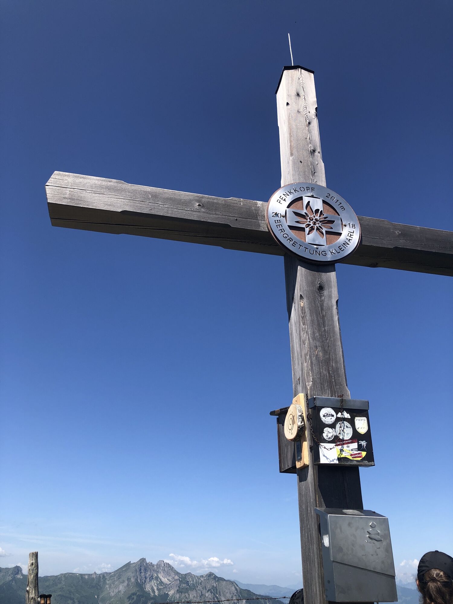
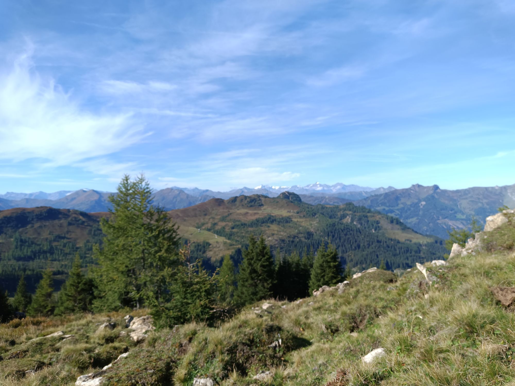
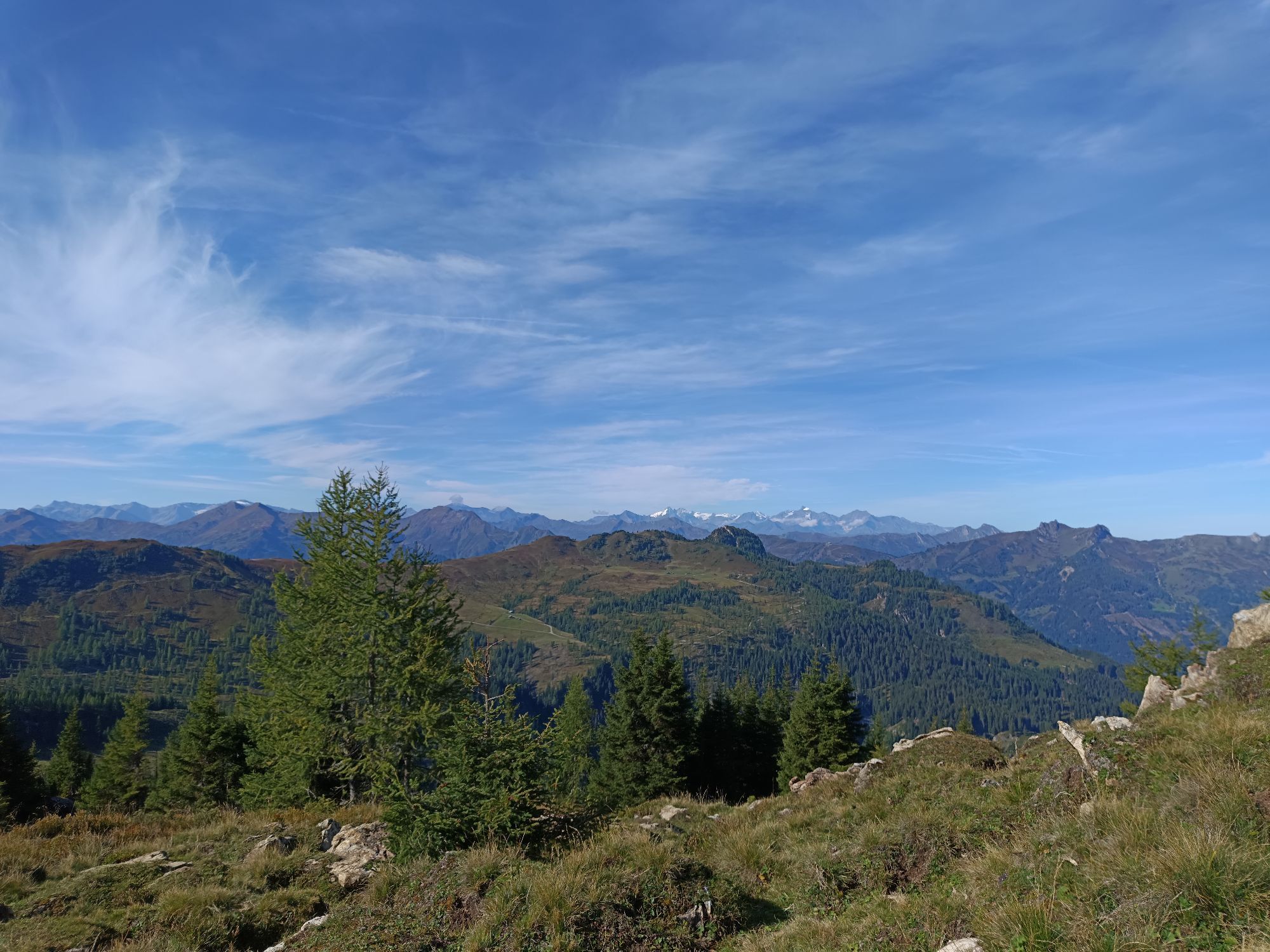
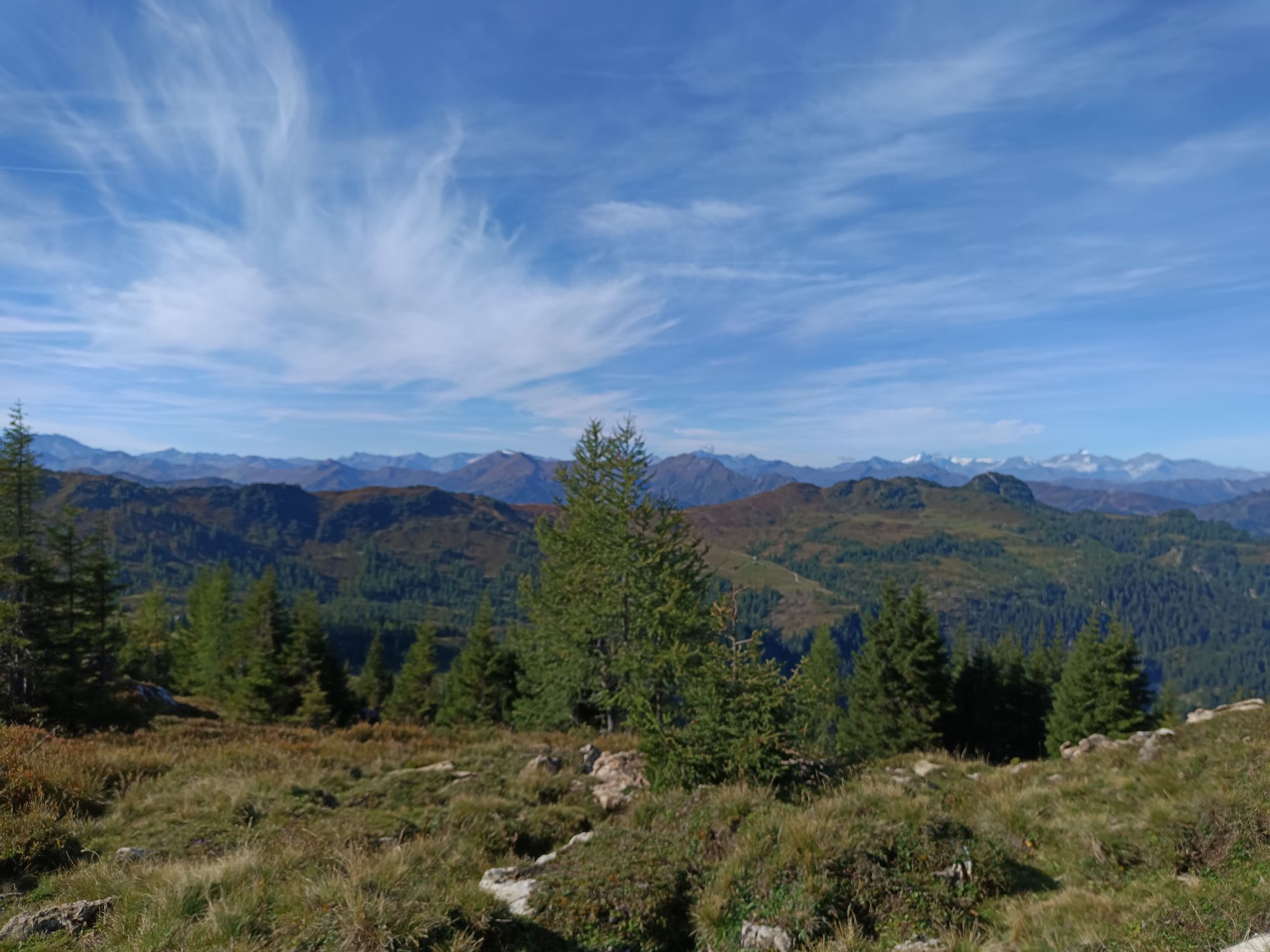
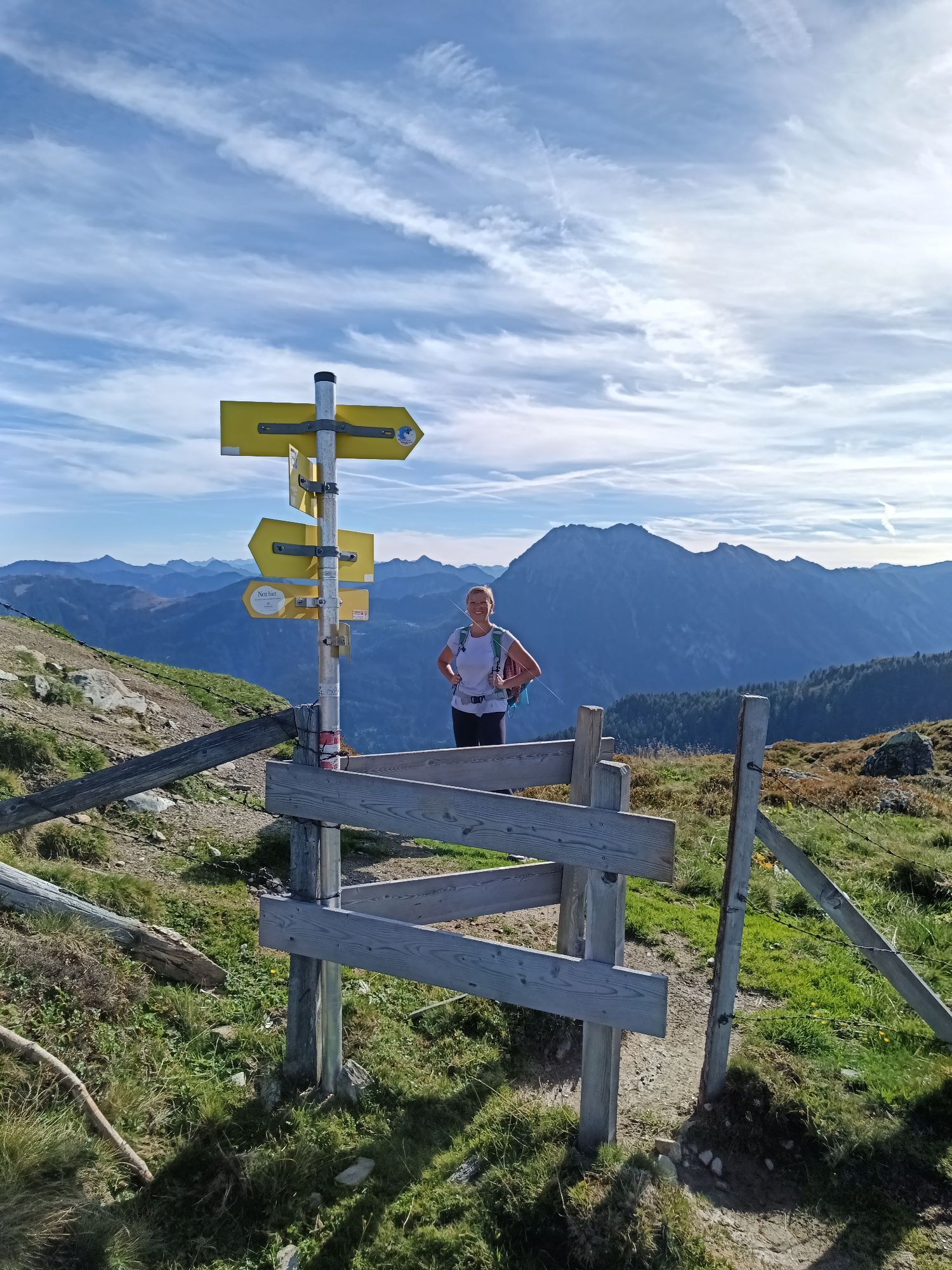
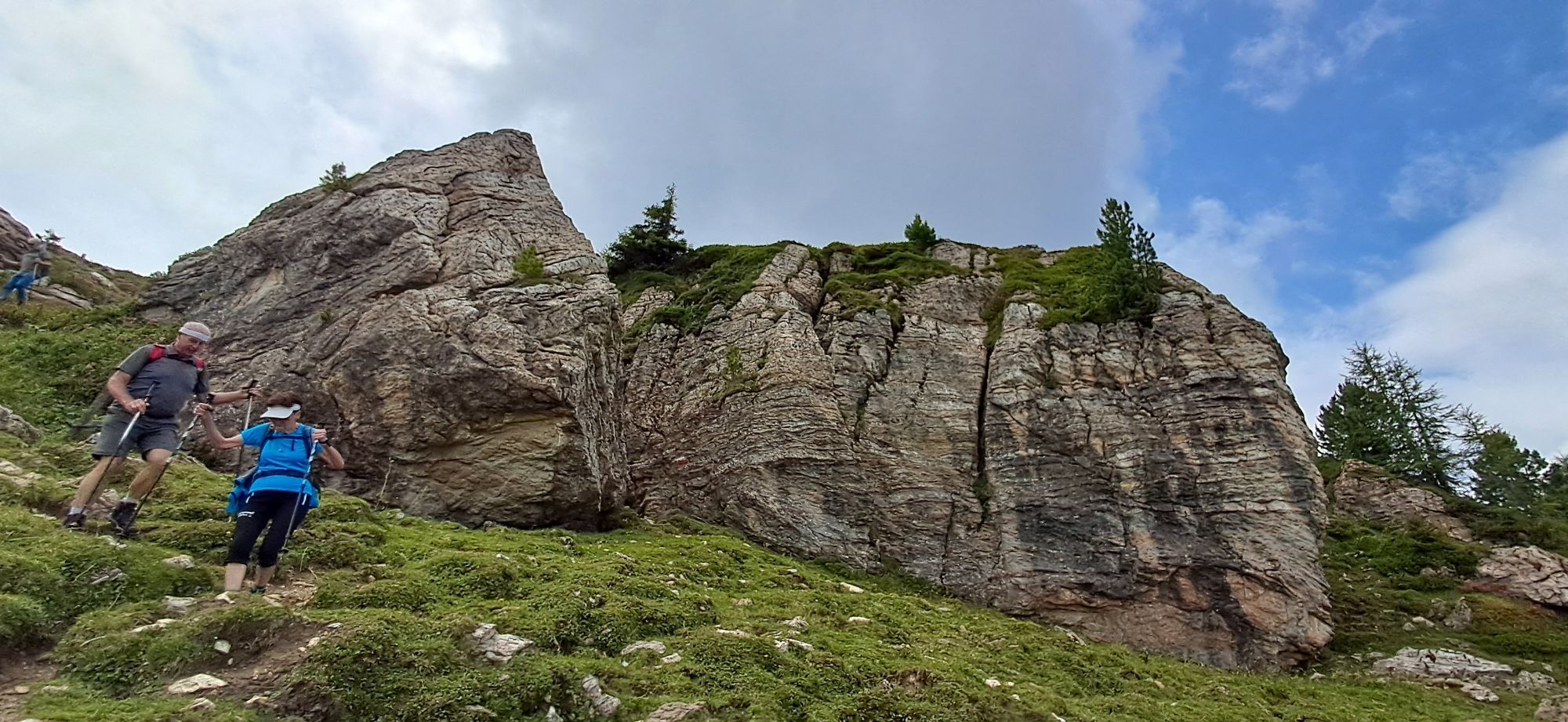
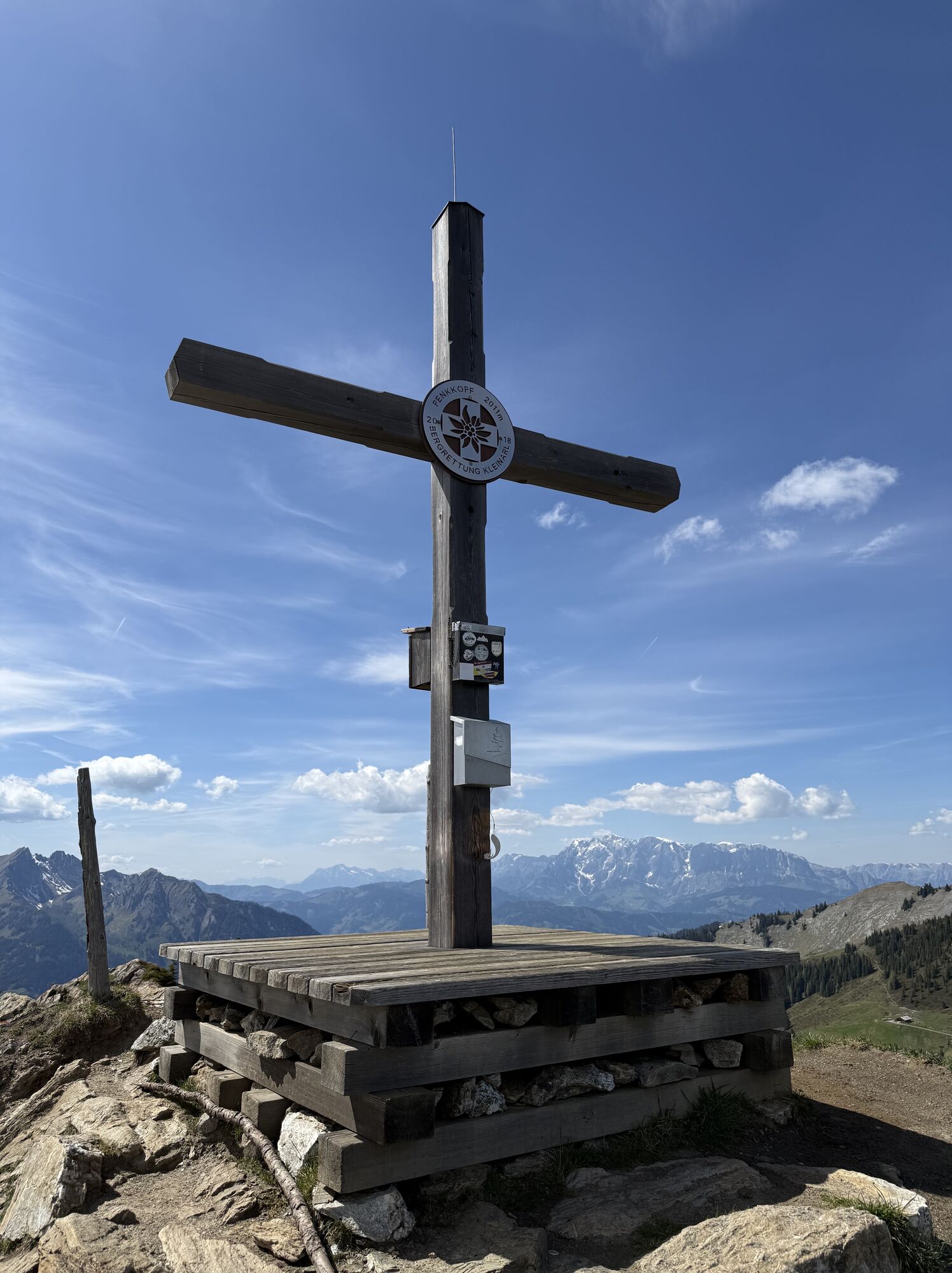
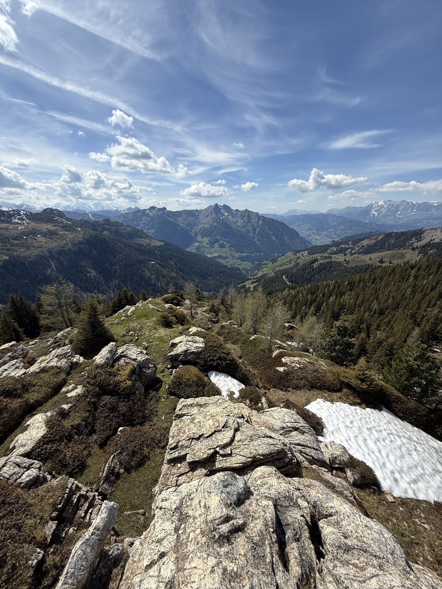
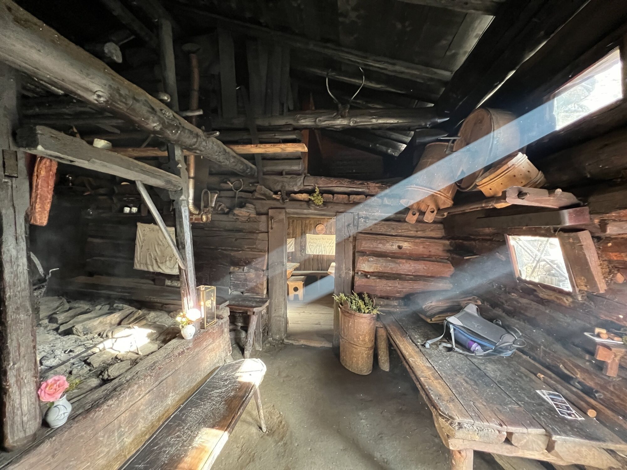
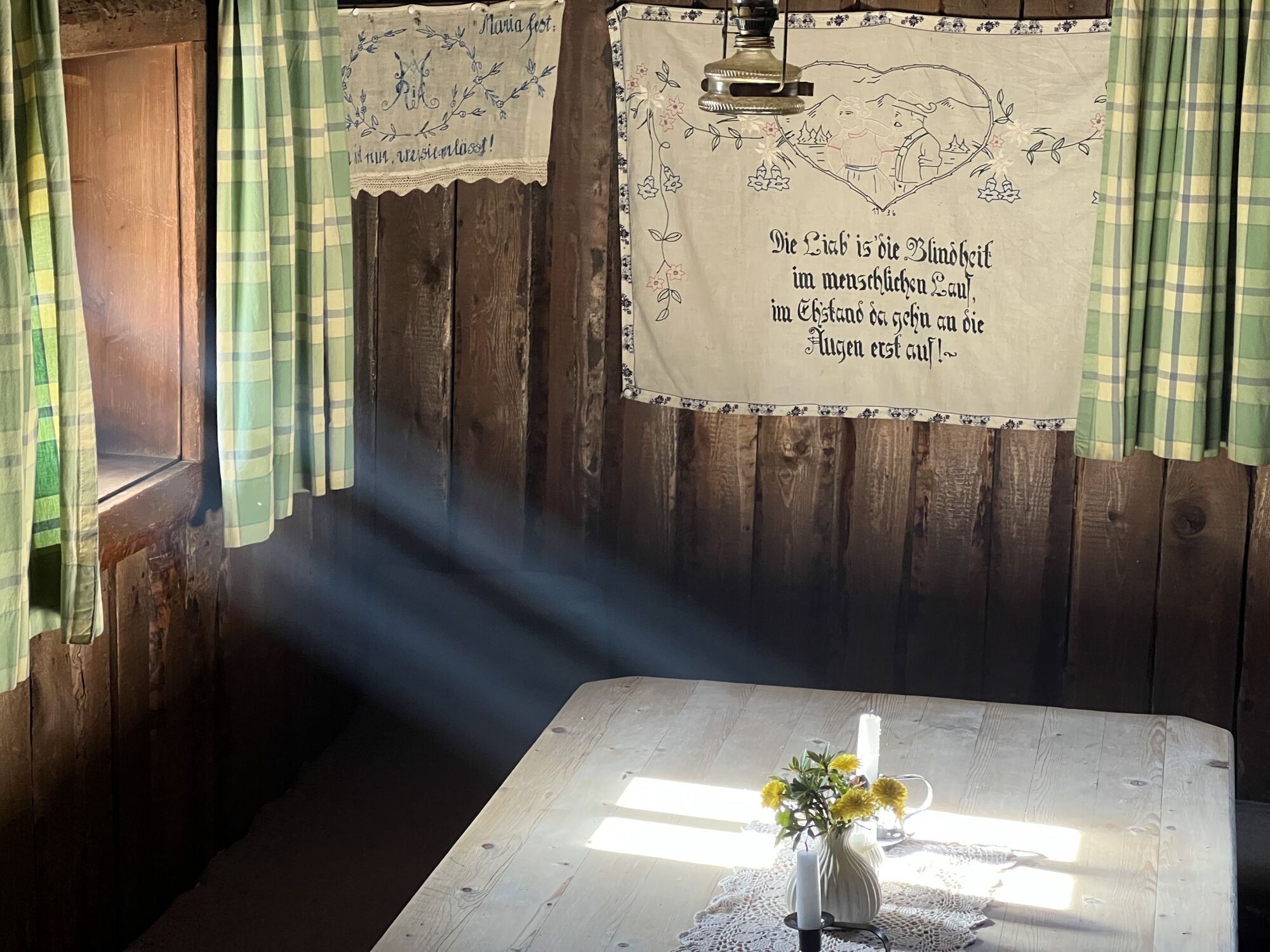
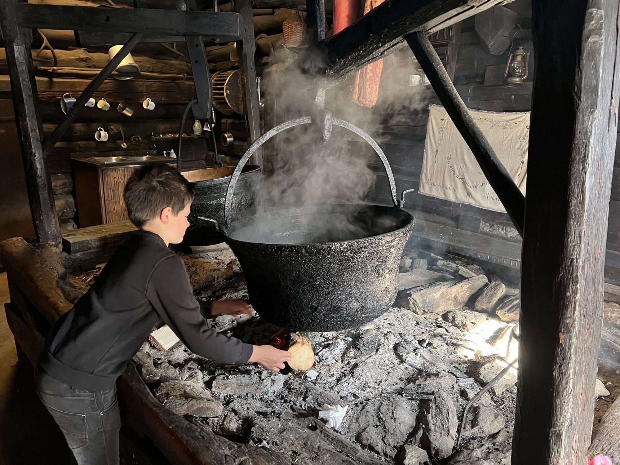
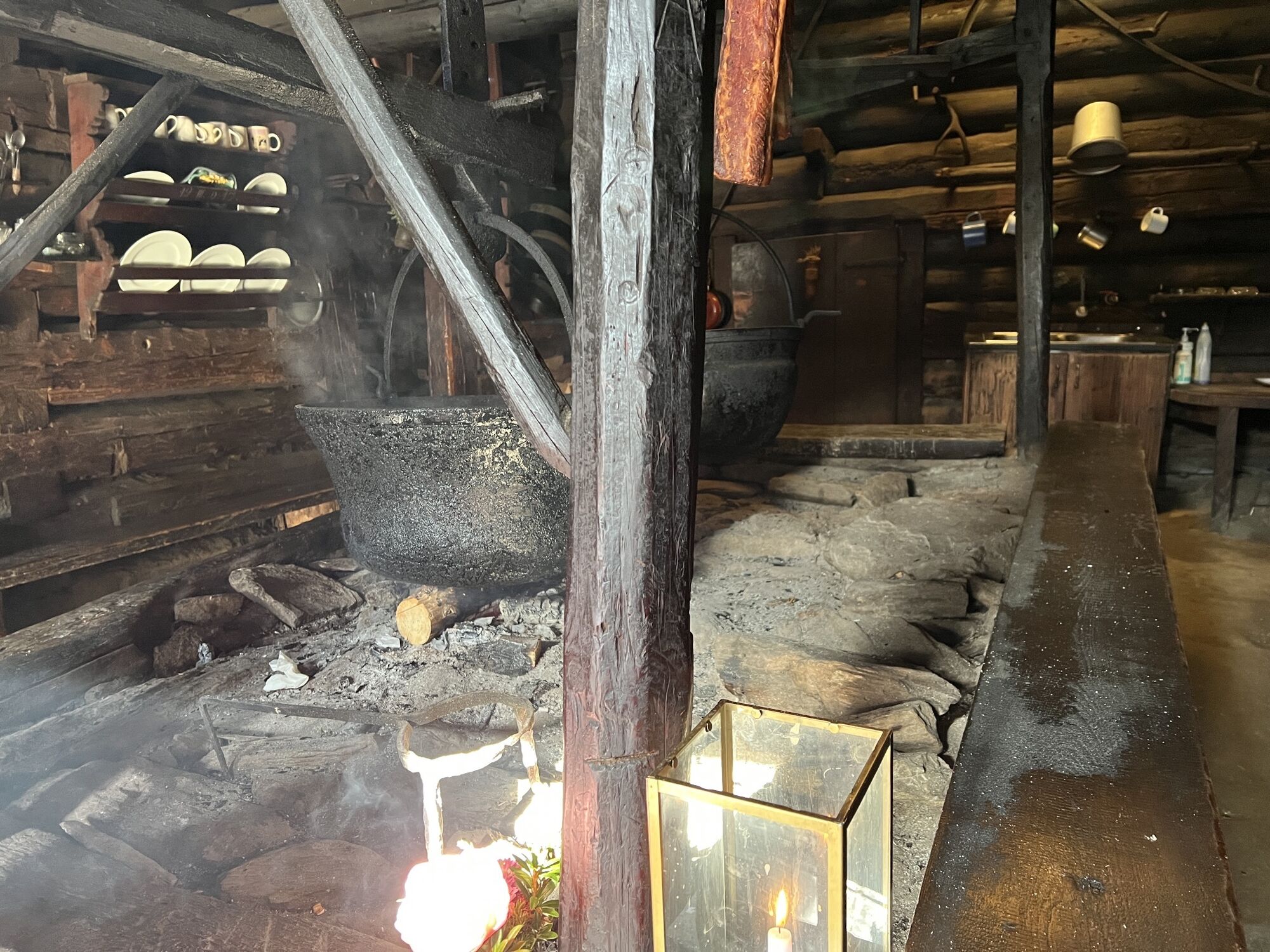
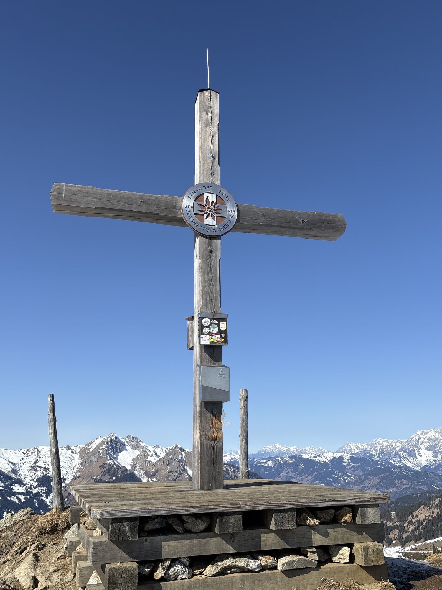
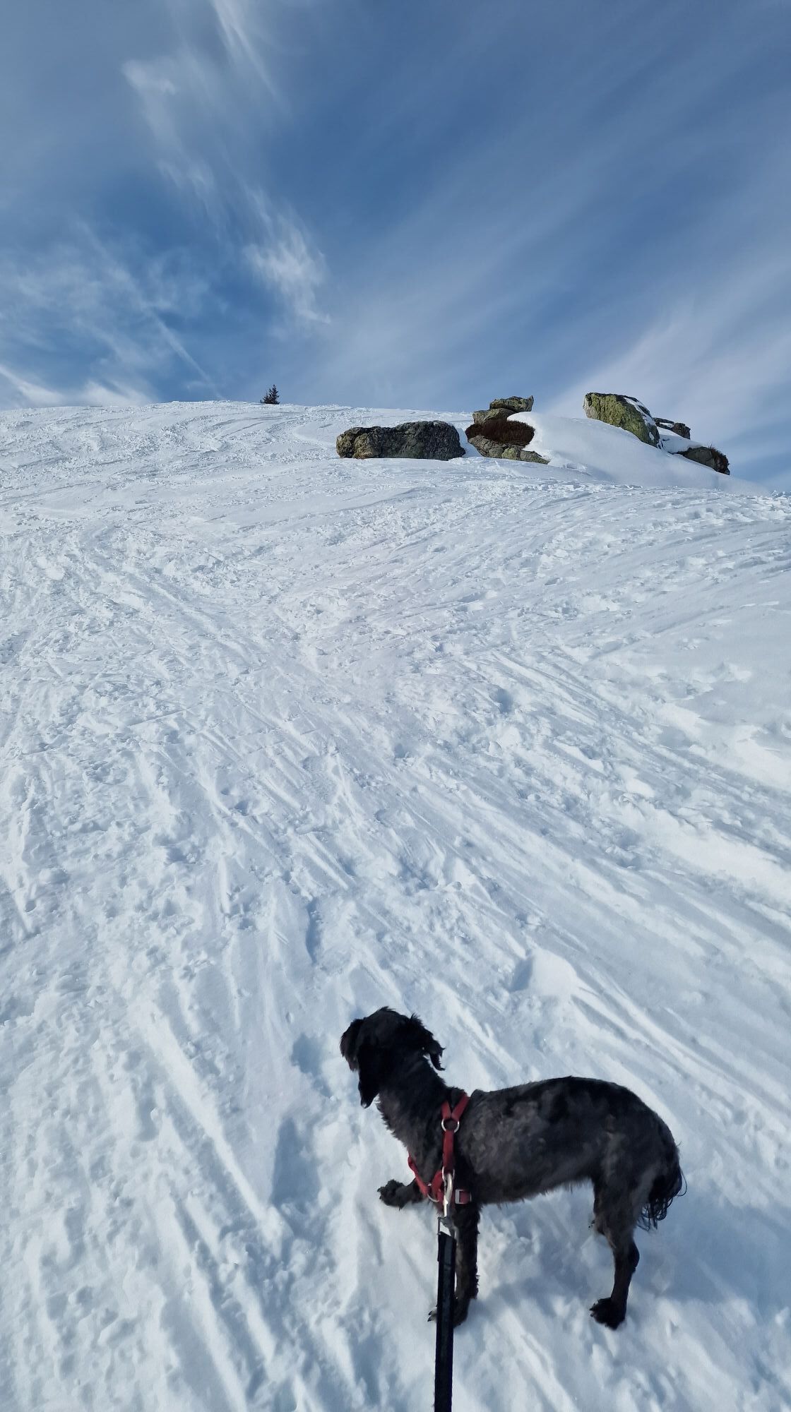
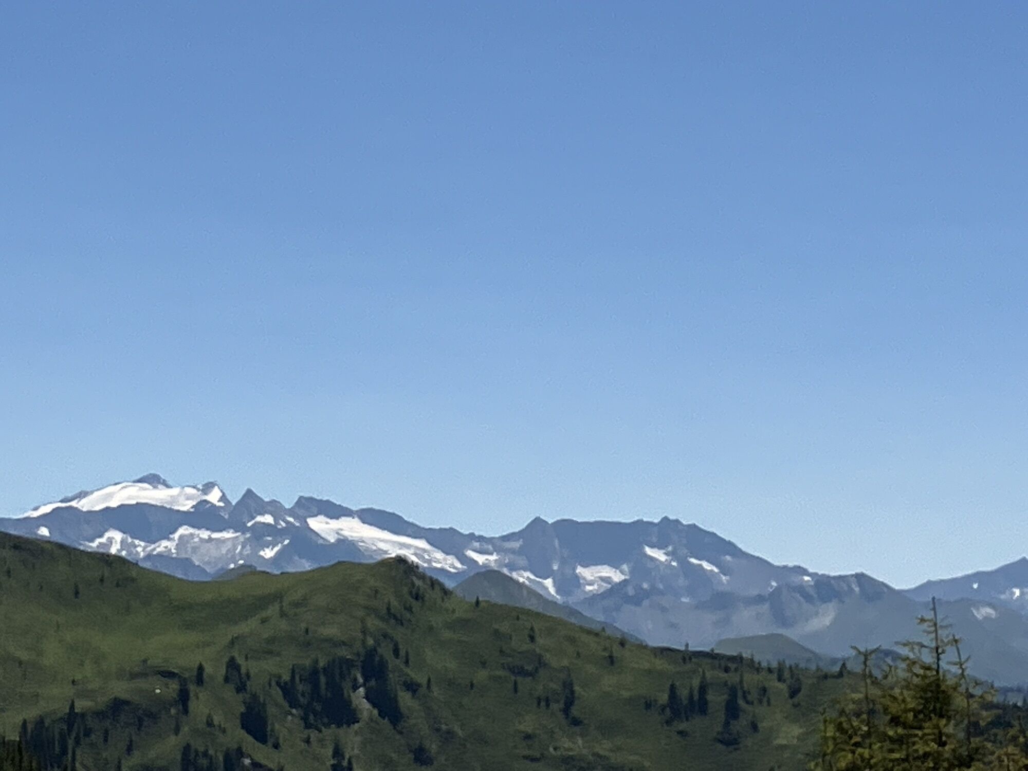
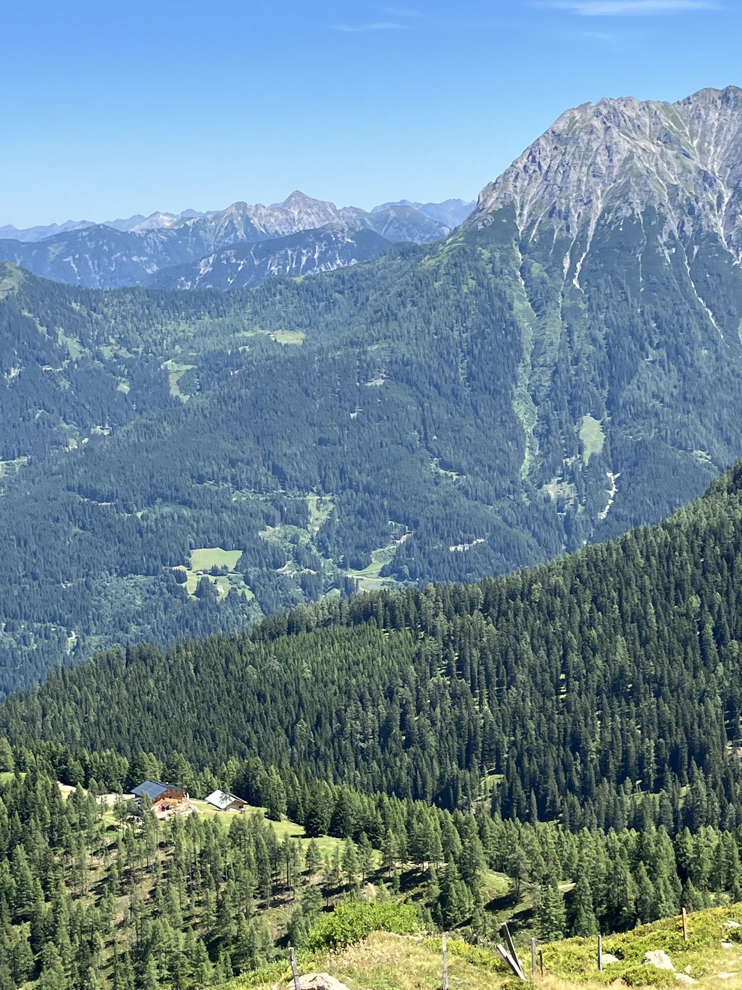
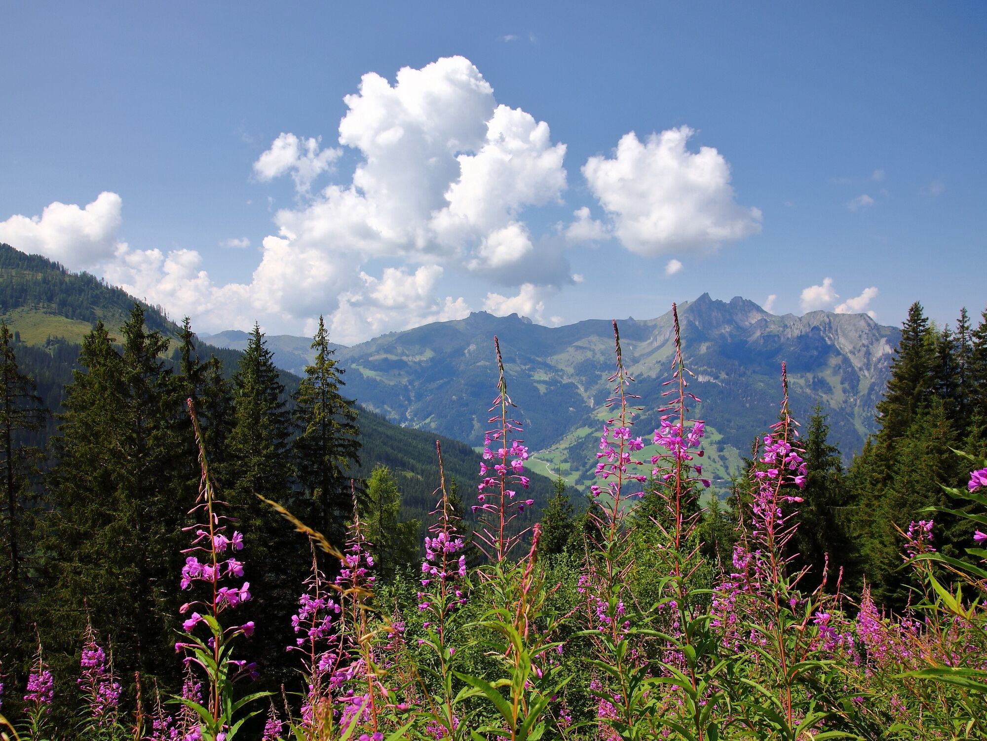
From there, climb a hiking path to the Großwildalm, where hikers are treated to a tasty snack with homemade delicacies. Afterwards, the route continues to the Penkkopf. From here you have a magnificent panoramic view of the Hochkönig, over the Tennen and Hagen mountains up to the High Tauern with the first three-thousand-meter peaks. Descend to Karseggalm. The Karseggalm is probably one of the most rustic huts in the entire Alpine region and, with its approx. 400 years, is also one of the oldest. Here there is also an open fire pit. A specialty from Großarl is made here: the Knetkäse. Once a week, you can watch the dairymaid or dairy farmer making the sour cheese so typical of Großarl. More information is available in the event calendar. After that, descend via a beautiful alpine path to the Breitenebenalm. It is especially known for its sweets. These taste particularly good on the large sun terrace. Finally, return to the car park, the starting point of the route.
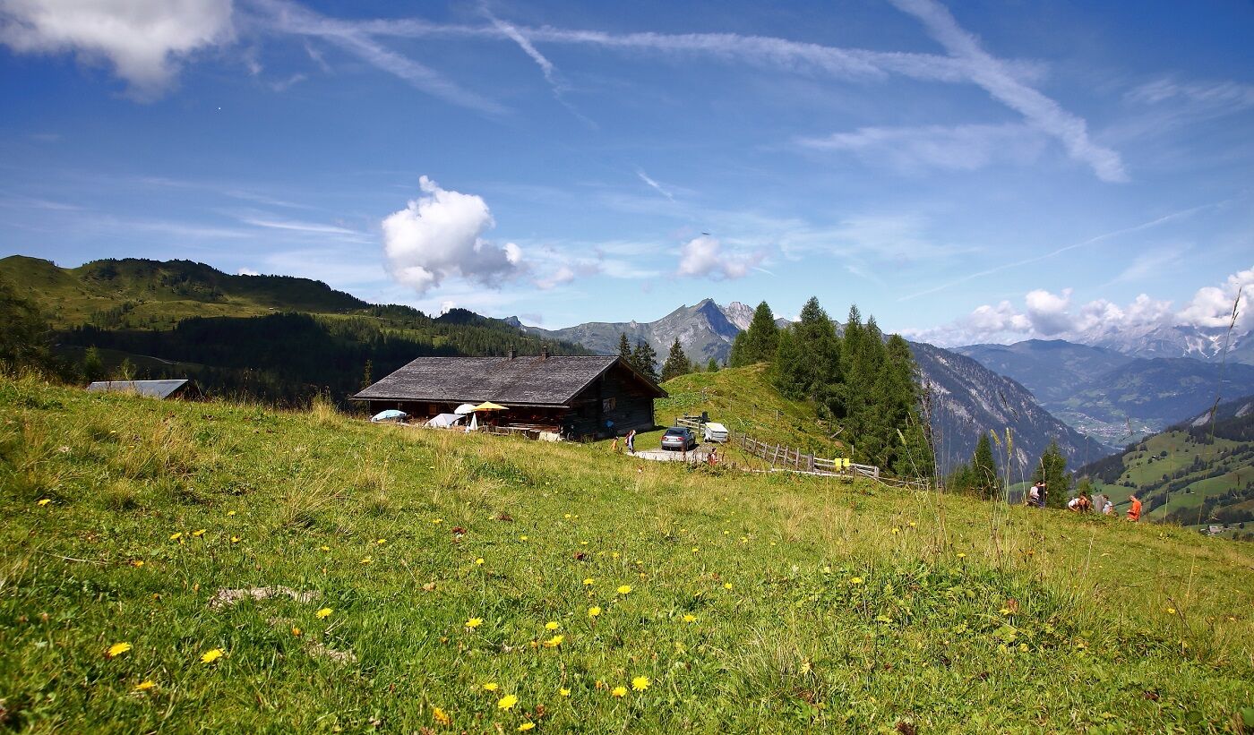
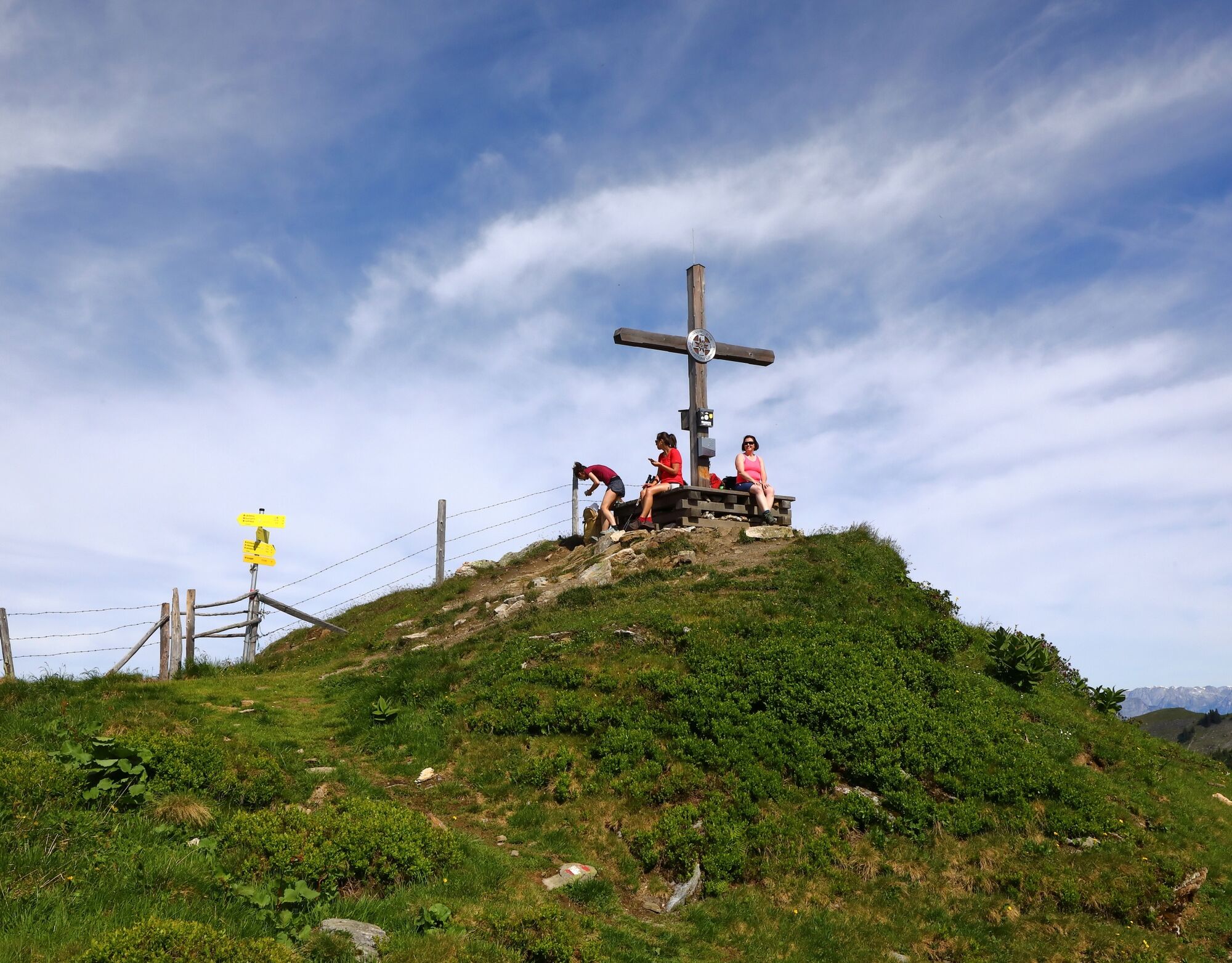
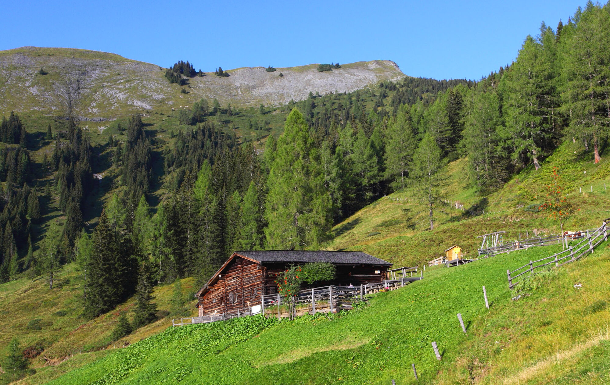
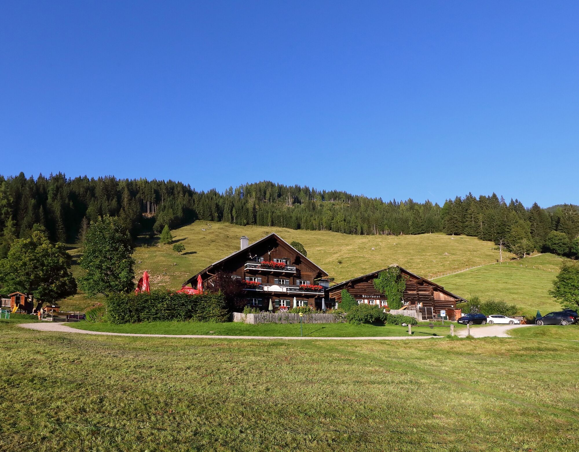

Drive by car or hiking taxi via Sonneggweg in the district Au to Sonnegg bridge and onwards to the Breiteneben Schranke car park – parking available. Hike on the farm road No. 67 or via the shortcuts through the forest (No. 70B) to the Breitenebenalm, 1,420 m (approx. 3/4 h). Ascent on path No. 67 to the Großwildalm, 1,778 m (approx. 1 1/2 h). Ascent to the Penkkopf, 2,011 m (approx. 1 h). Descent to the Karseggalm, 1,603 m (path No. 72, approx. 1 h). Descent first via the forest road, then via the alpine trail No. 70 to the Breitenebenalm (approx. 3/4 h). Descent via the forest road or the shortcuts through the forest back to the starting point of the route (approx. 1/2 h).
Áno
Hiking boots with profiled sole, hiking map, backpack with provisions, water bottle and first aid kit
Drive by car or hiking taxi via Sonneggweg in the district Au to Sonnegg bridge and onwards to the Breiteneben Schranke car park.
Breiteneben Schranke car park
T2
On the Großwildalm, Karseggalm and Breitenebenalm you will be spoiled with homemade delicacies.


Webové kamery z prehliadky
-
Gernkogel - Alpendorf St. Johann
-
Hotel Lammwirt im Großarltal/Ellmautal
-
Ellmautal - Palfenhof
-
Großarl - Ort
-
St.Johann-Alpendorf Gernkogel
-
Gernkogel - Alpendorf St. Johann
-
Mooslehen Berg
-
Großarl - Loosbühelalm
-
Großarl - Hotel Kristall Übungslift
-
Gernkogel - Alpendorf St. Johann
-
Gernkogel - Alpendorf St. Johann
-
Gernkogel - Alpendorf St. Johann
-
Gernkogel - Alpendorf St. Johann

Aktivity počas prehliadky
-

Großarl, Salzburg/Österreich
05.09.2026 – Turistika -
Großarl, Salzburg/Österreich
24.08.2026 – Horská turistika -
Großarl, Salzburg/Österreich
22.08.2026 – Turistika -
Großarl, Salzburg/Österreich
08.08.2026 – Turistika -
Großarl, Salzburg/Österreich
17.07.2026 – Horská turistika -

Großarl, Salzburg/Österreich
11.06.2026 – Turistika
Obľúbené výlety v okolí
-
4,9
4-Gipfel-Tour
strednáHorská turistika 6,40 km -
4,9
Großarl: Heukareck
strednáTuristika 12,5 km -
4,9
Großarl: Aualm - Liechtensteinkopf - Aukopf - Schuhflicker - Schuhflickersee
strednáTuristika 5,84 km -
4,2
Tappenkarsee Kleinarl
strednáTuristika 9,11 km -
4,8
Großarl: Himmelsroute
strednáTuristika 5,41 km -
5,0
Großarl: Alpine pasture circuit in Ellmautal
strednáTuristika 9,69 km -
4,6
Großarl: Mooslehenalm – Niggeltalalm – Viehhausalm
strednáTuristika 5,44 km -
4,6
Ski route Lackenkogel
strednáSkitour 7,82 km -
4,7
Großarl: Saukaralm - Saukarkopf - Gerstreitalm
strednáTuristika 9,39 km -
4,6
Grießenkareck
strednáTuristika 4,89 km

Turistika a stopovanie


Nenechajte si ujsť ponuky a inšpiráciu na ďalšiu dovolenku
Vaša e-mailová adresa bol pridaný do poštového zoznamu.





