



Hüttschlag - Tappenkarsee - Jägersee

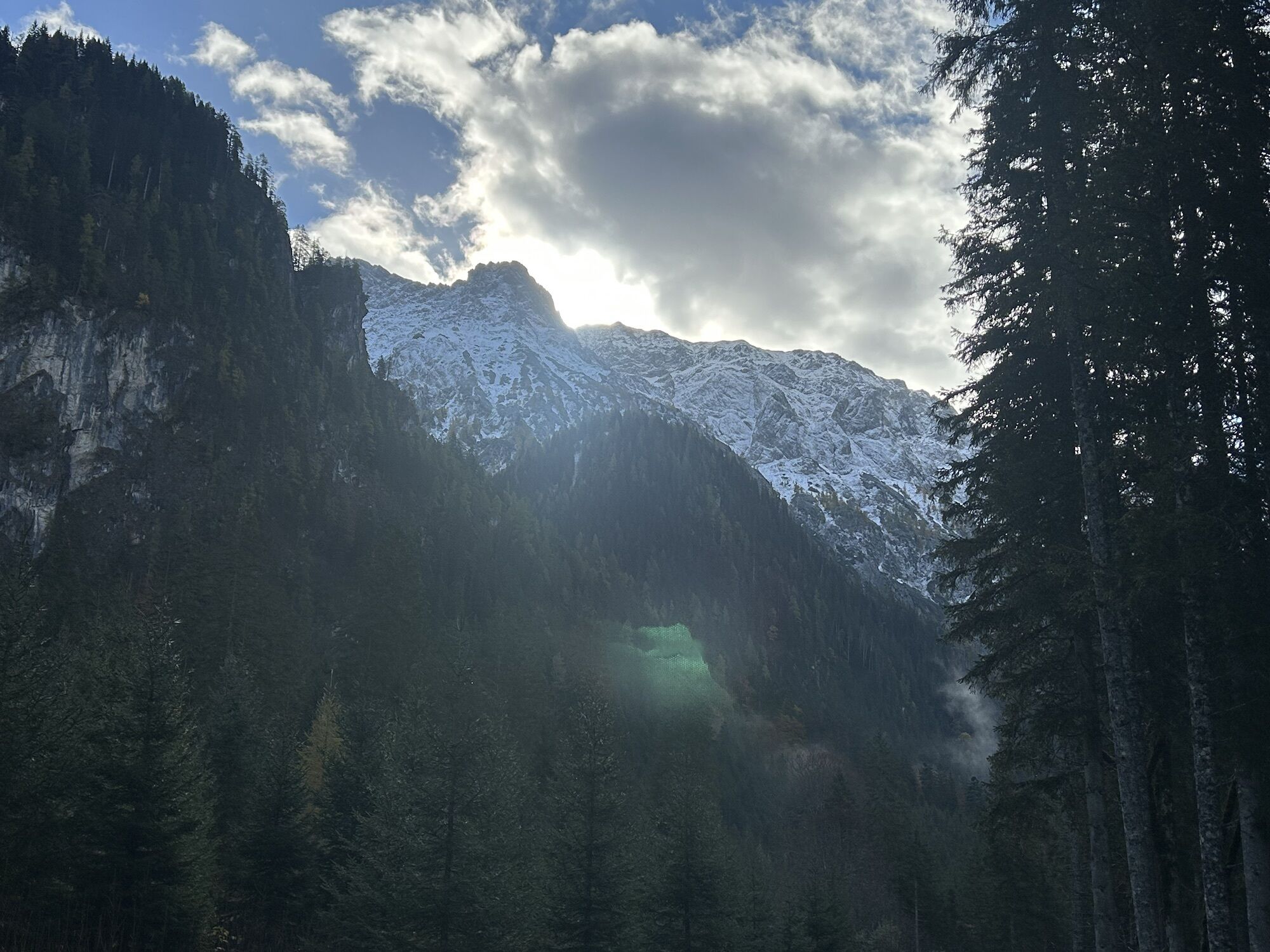
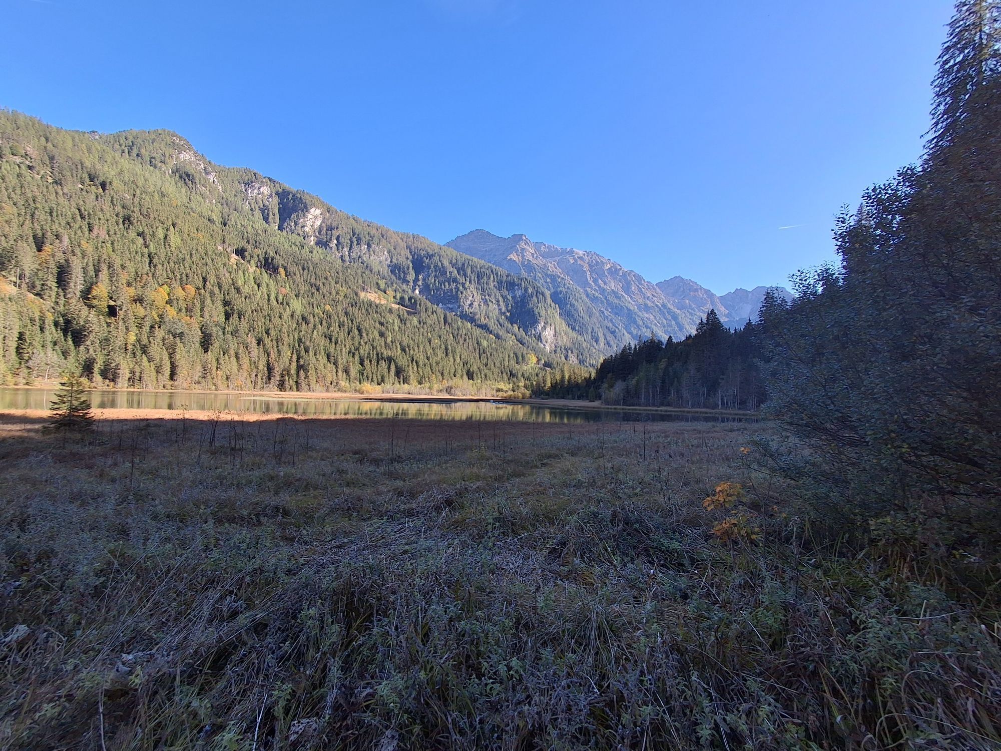
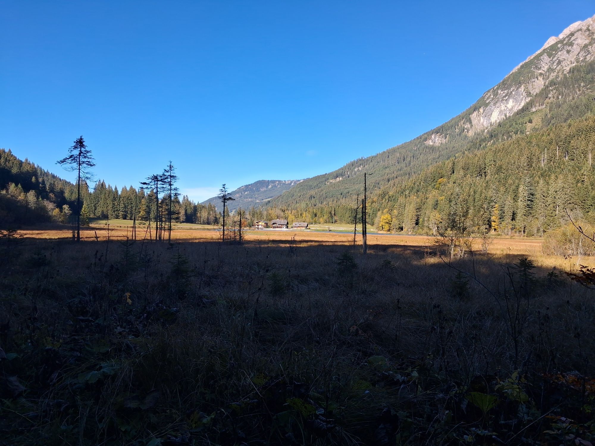
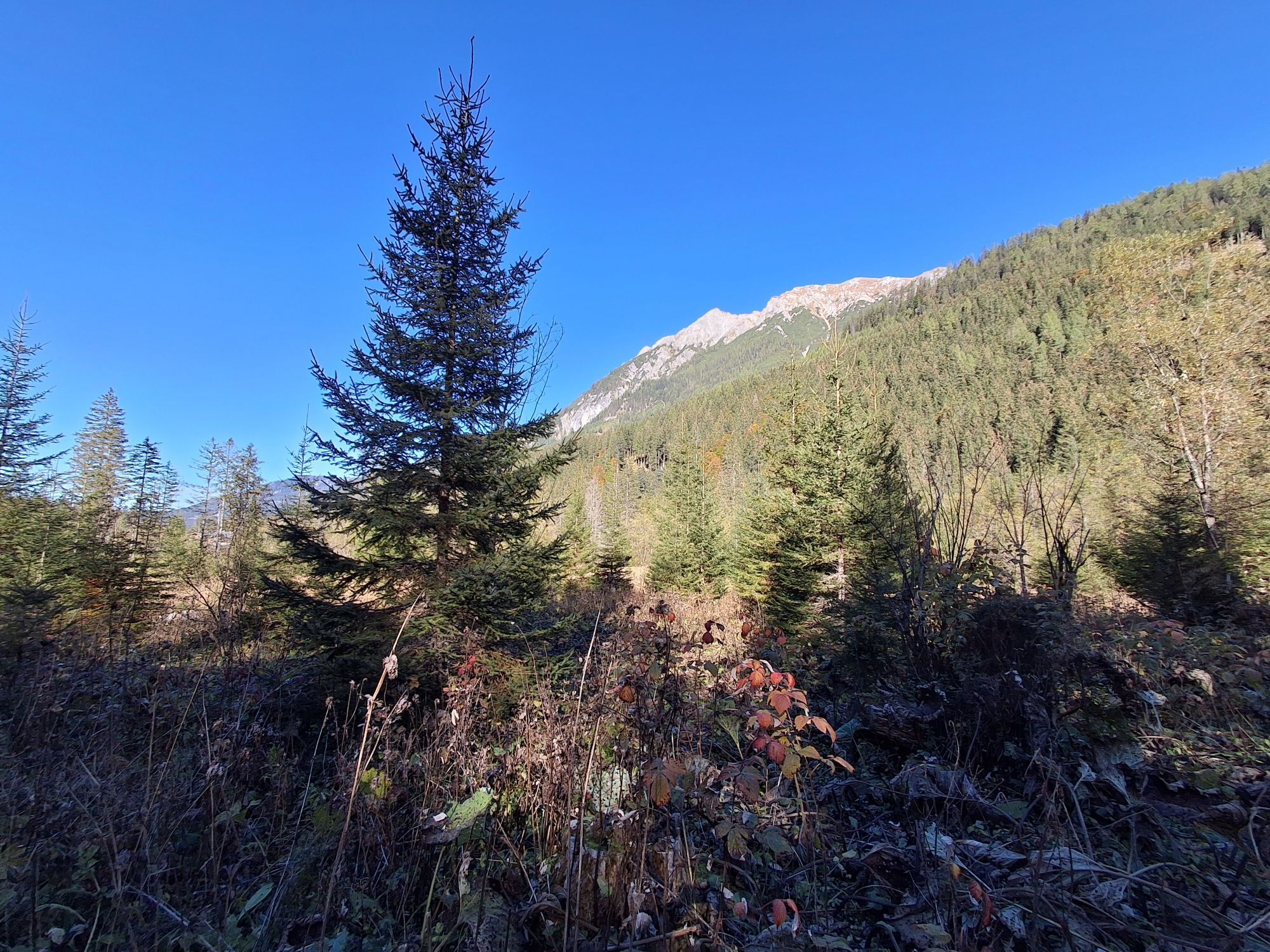
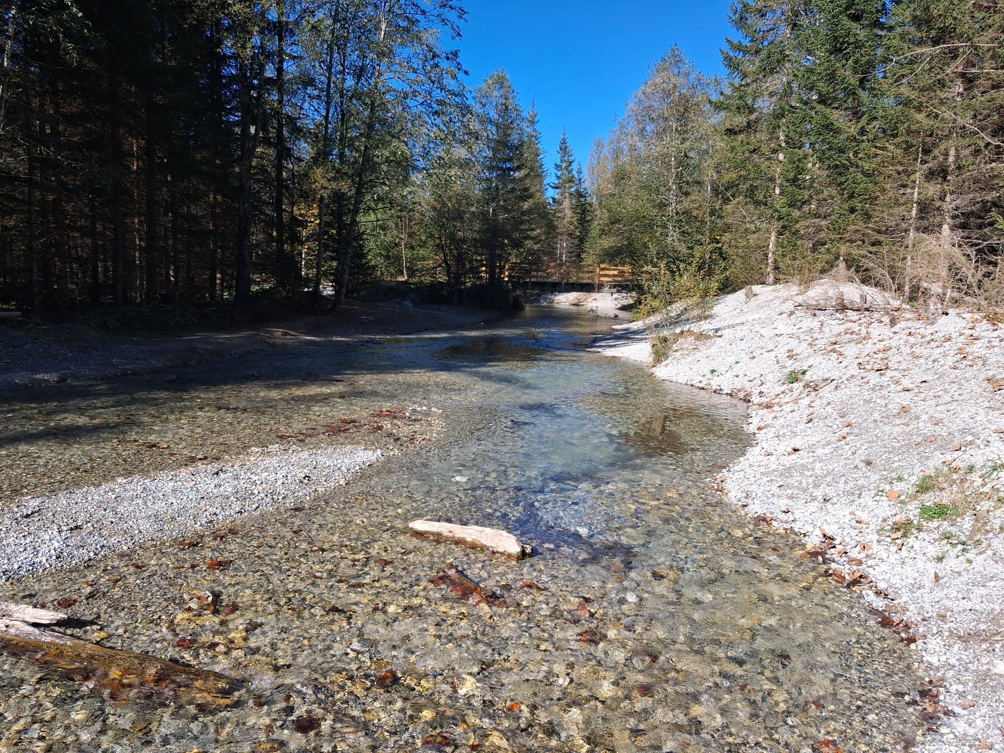
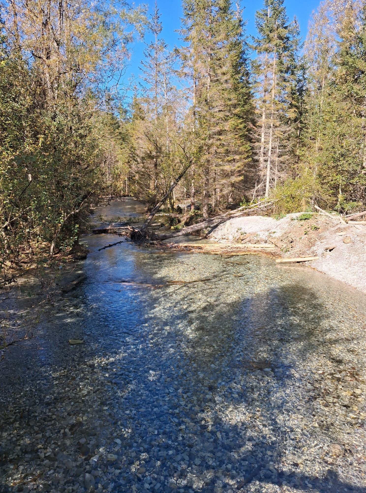
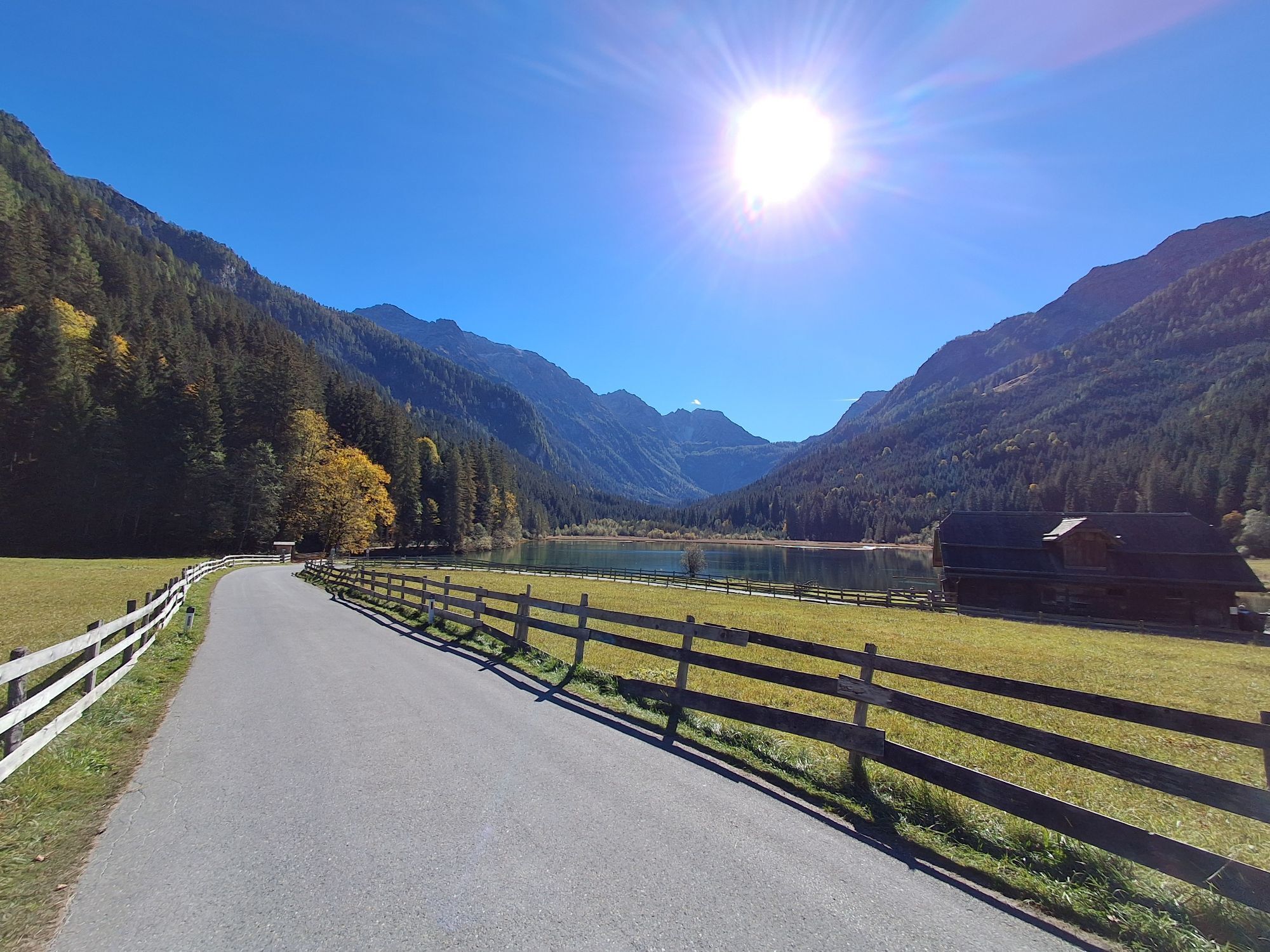
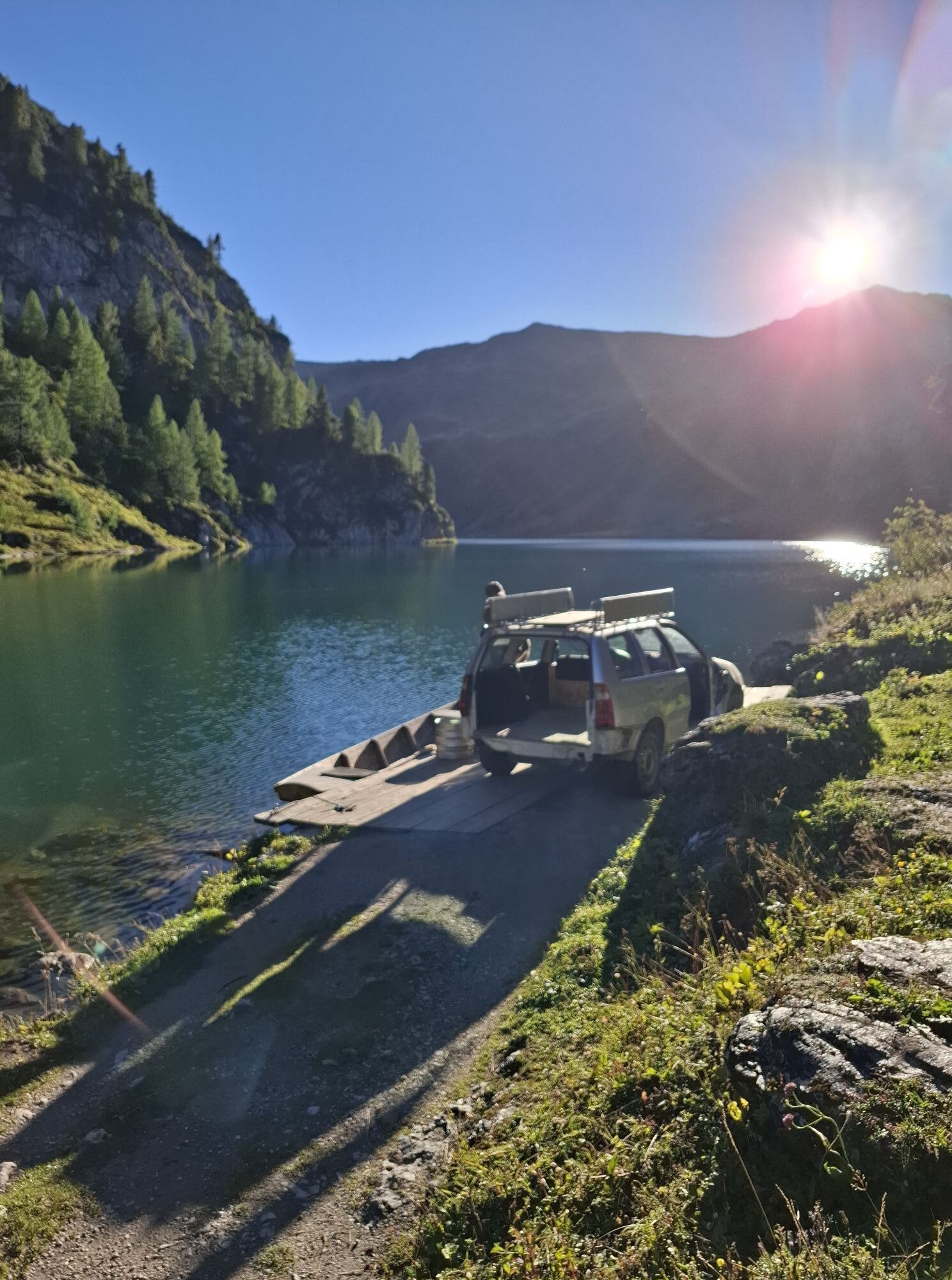
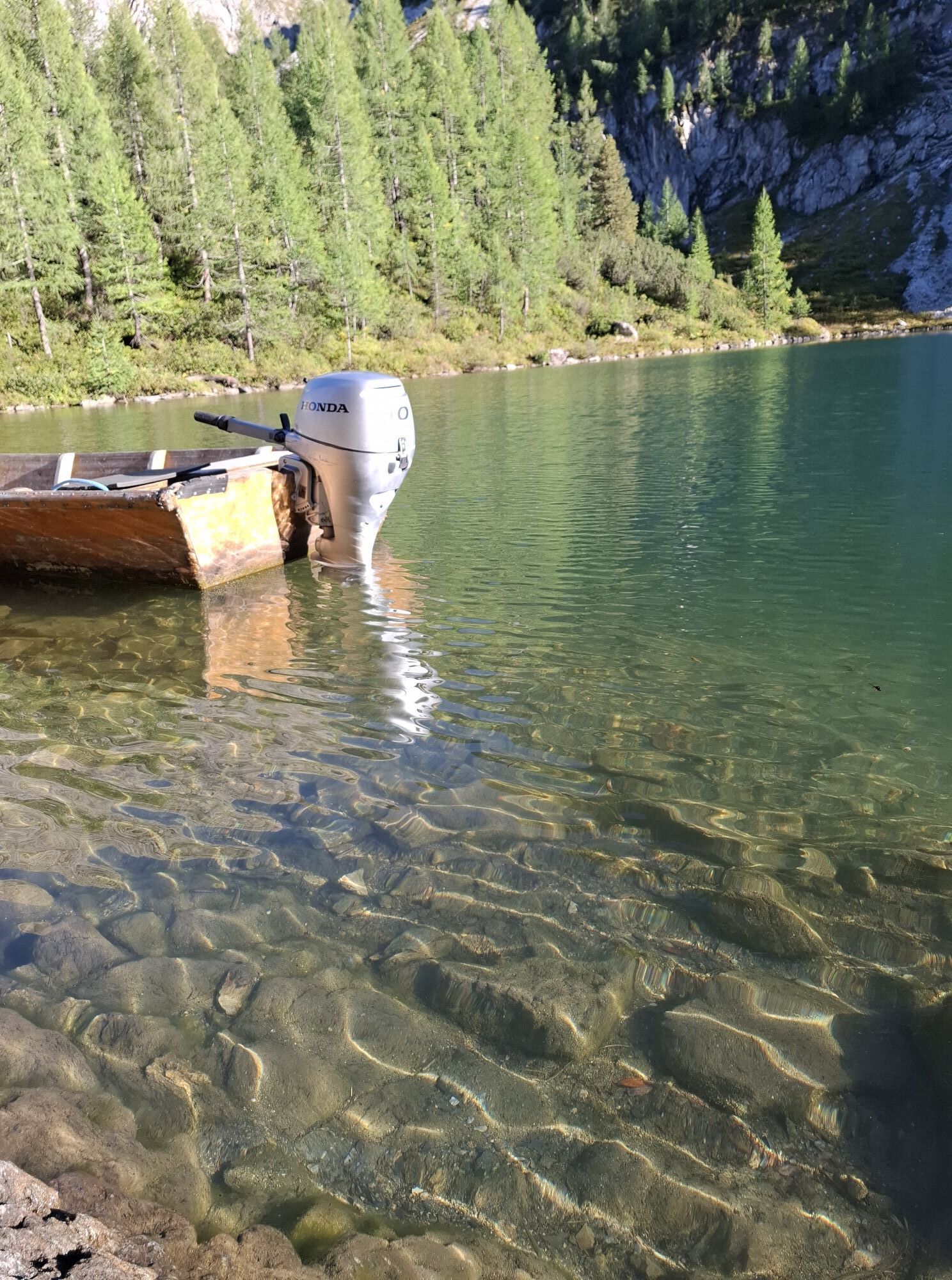
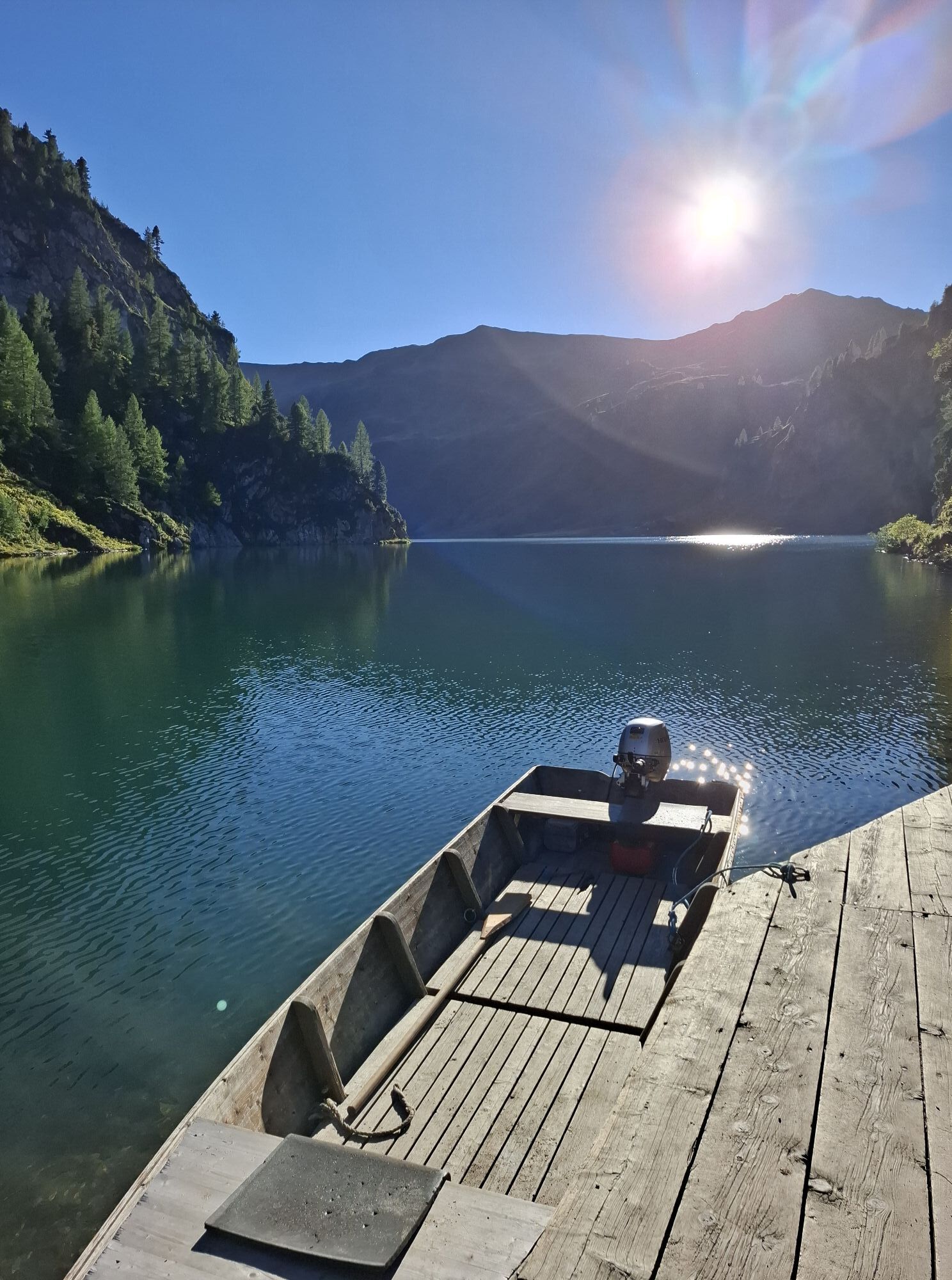
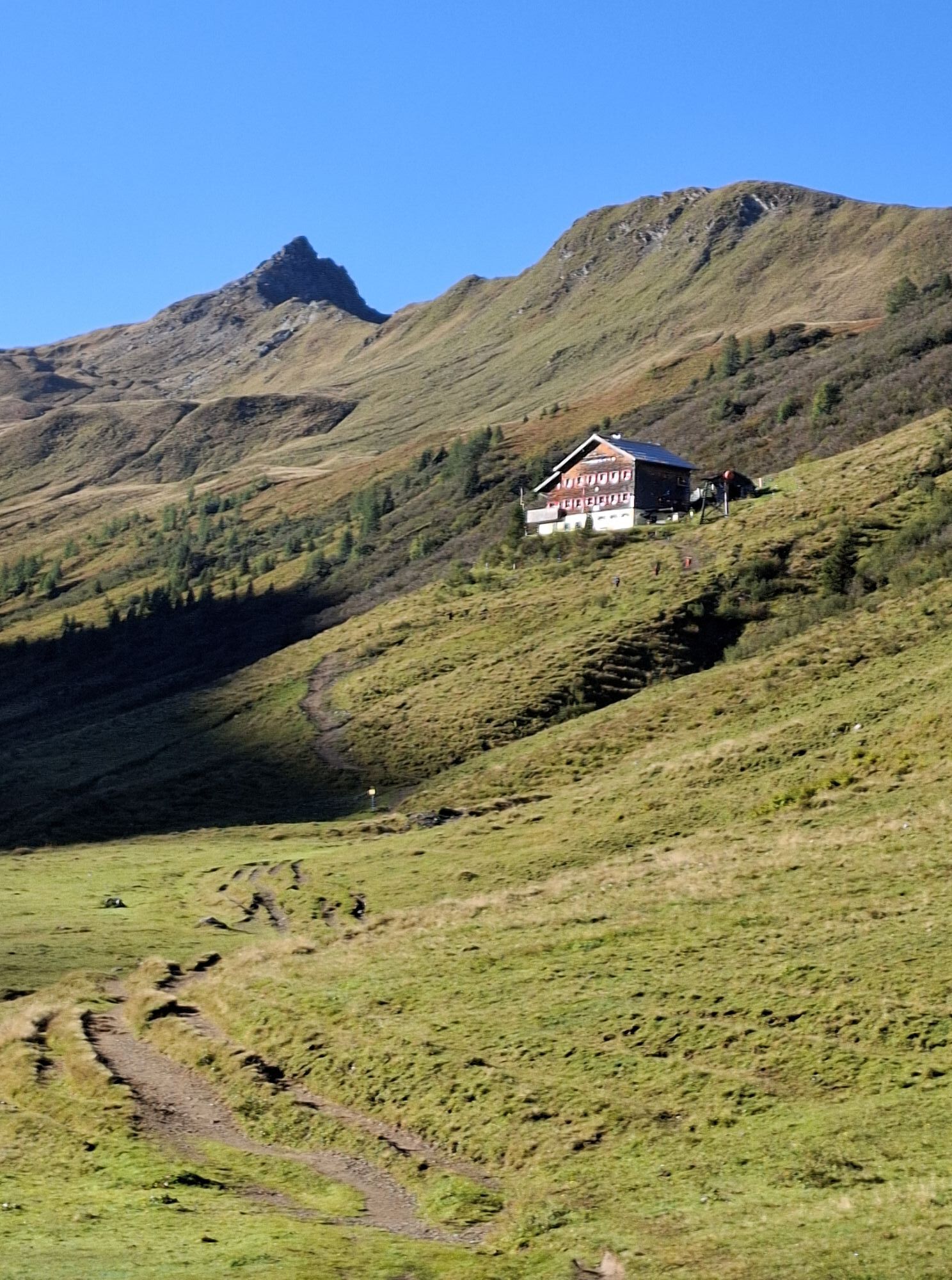
The hike from Hüttschlag to Tappenkarsee and onwards to Jägersee is one of the most scenic tours in Grossarltal. It starts at Hallmoosalm in Hüttschlag and follows mountain tracks, trails and Alpine crossings...
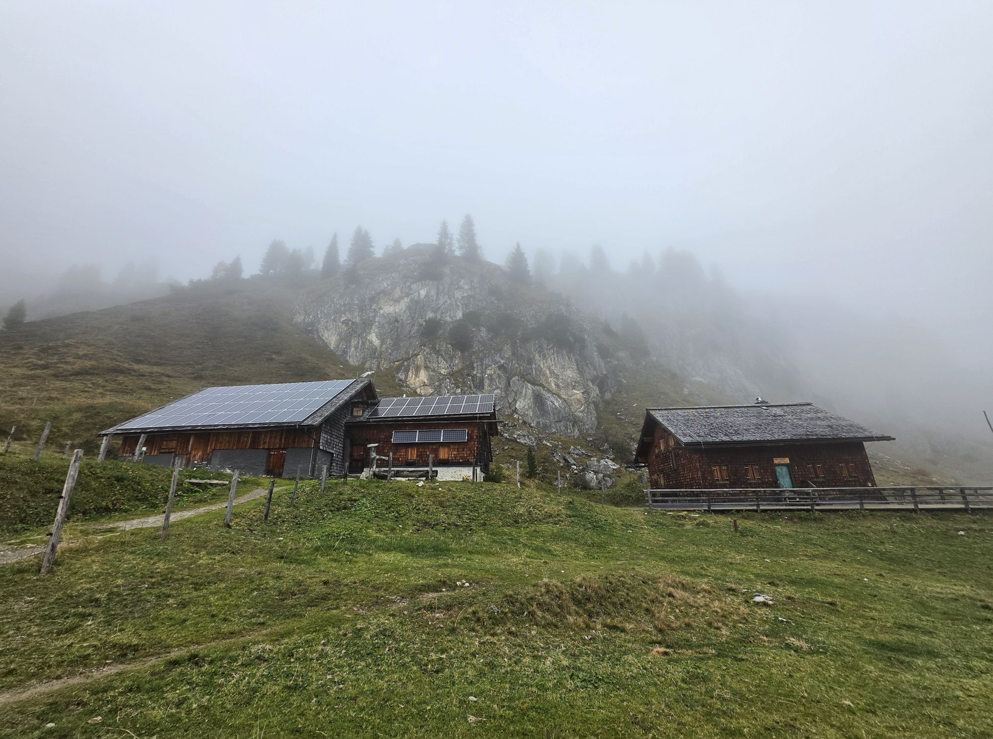
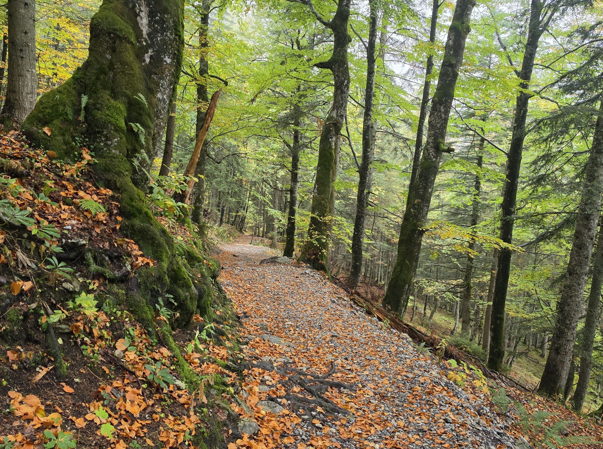
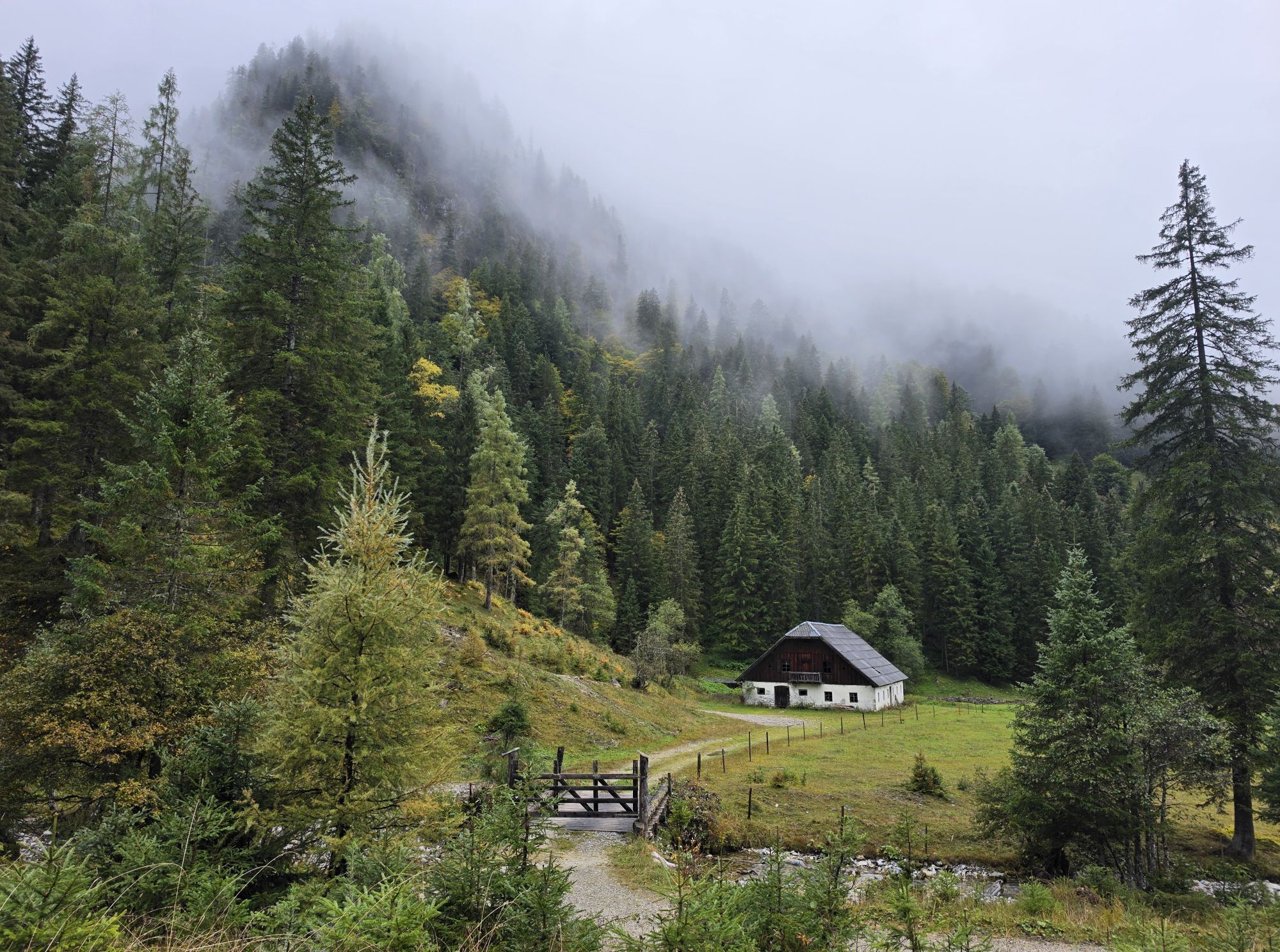
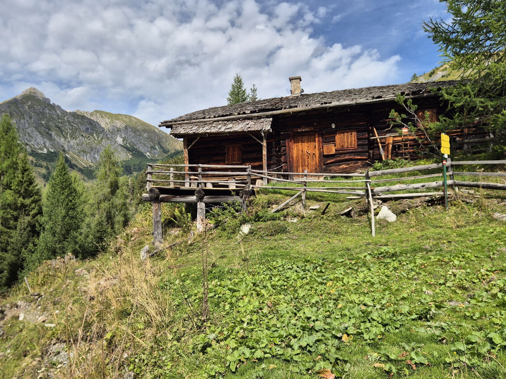
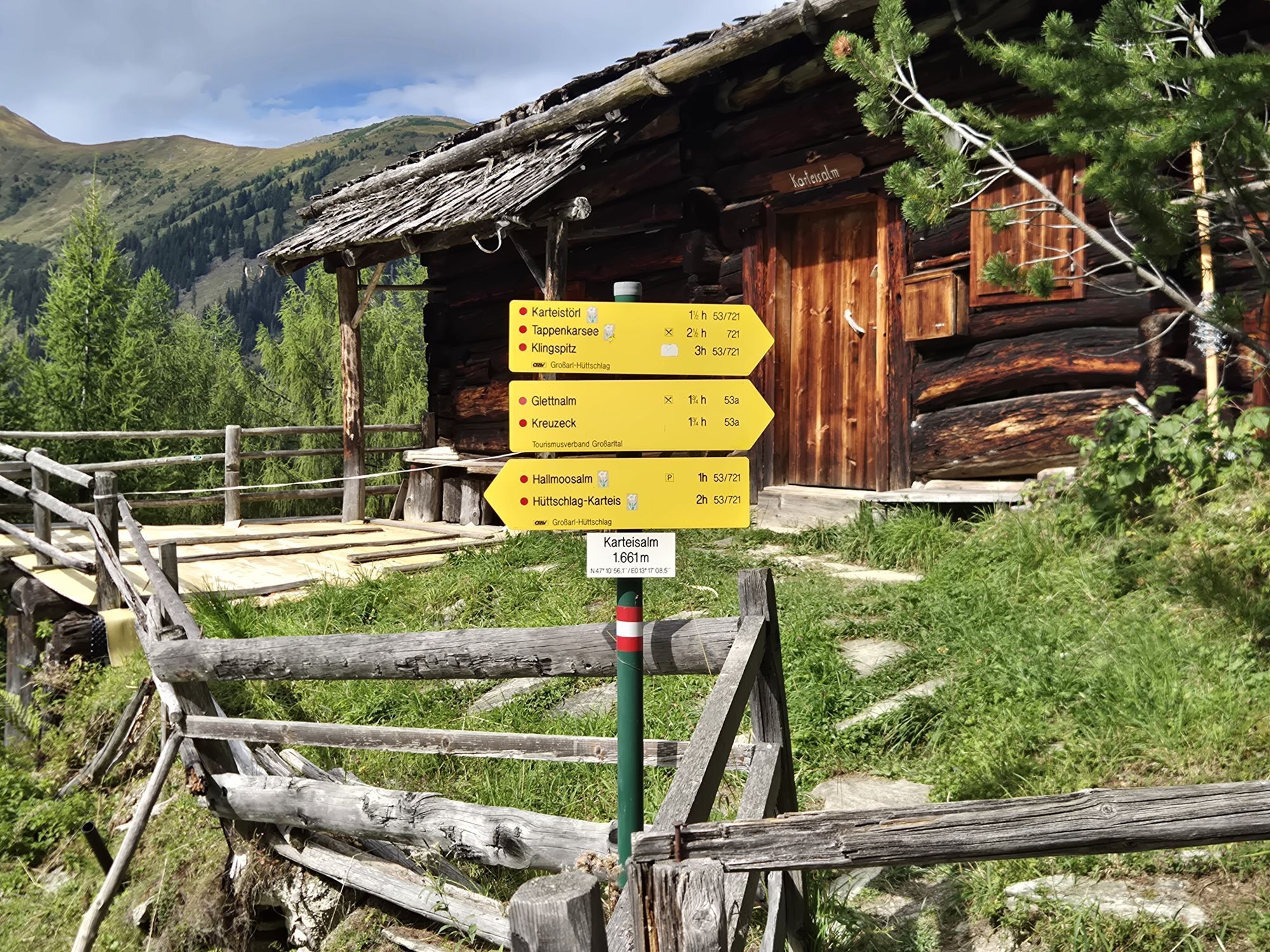
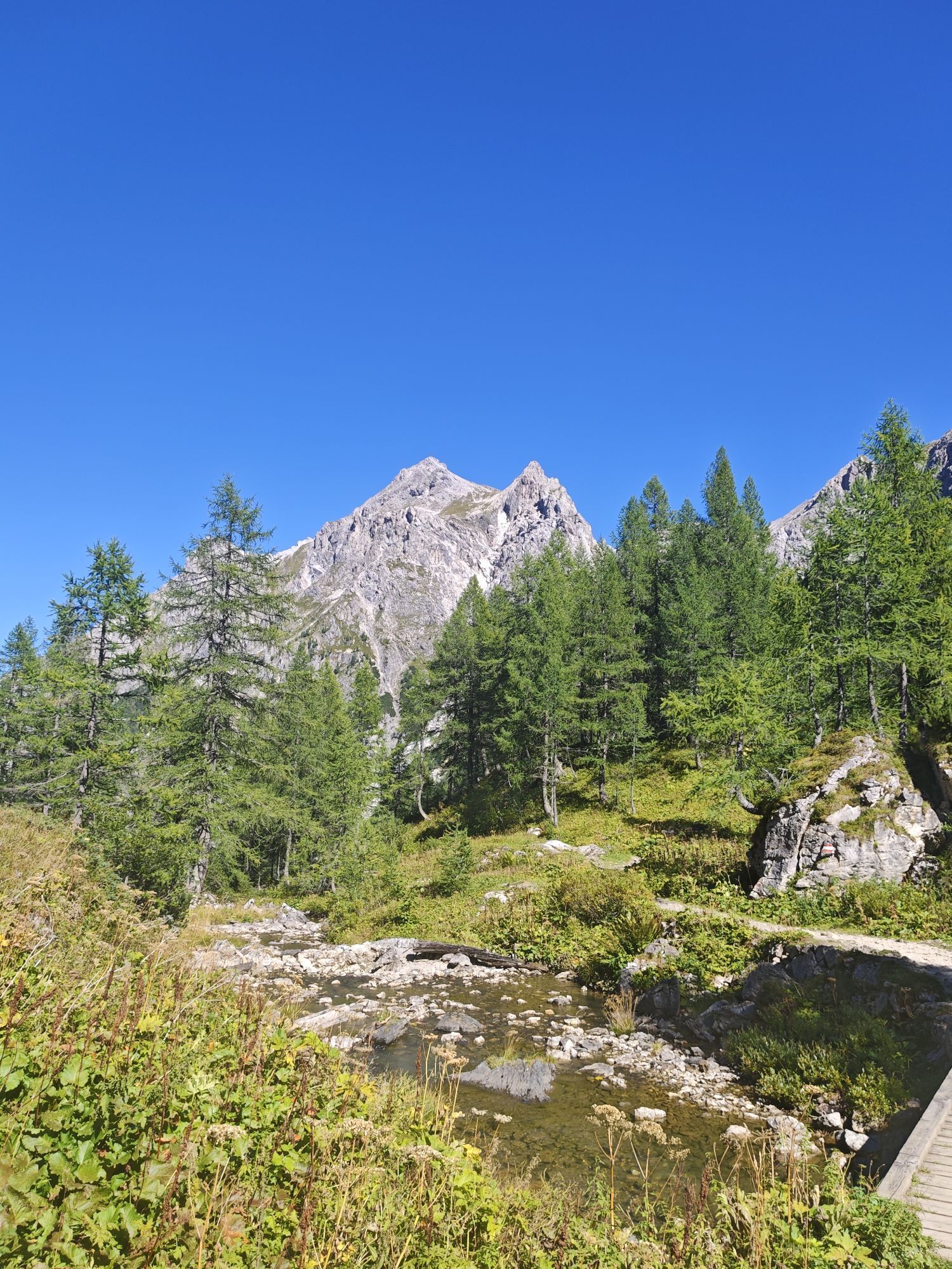
From the starting point at Hallmoosalm, the route initially follows the Seilsitzberg access road for a short distance. The hiking trail then branches off and leads uphill via the mountain path to Karteisalm. The mountain hut is not serviced. Shortly before Karteisalm, there is a small wayside shrine attached to a tree on the left, erected as a sign of gratitude for many happy summers spent on the mountain.
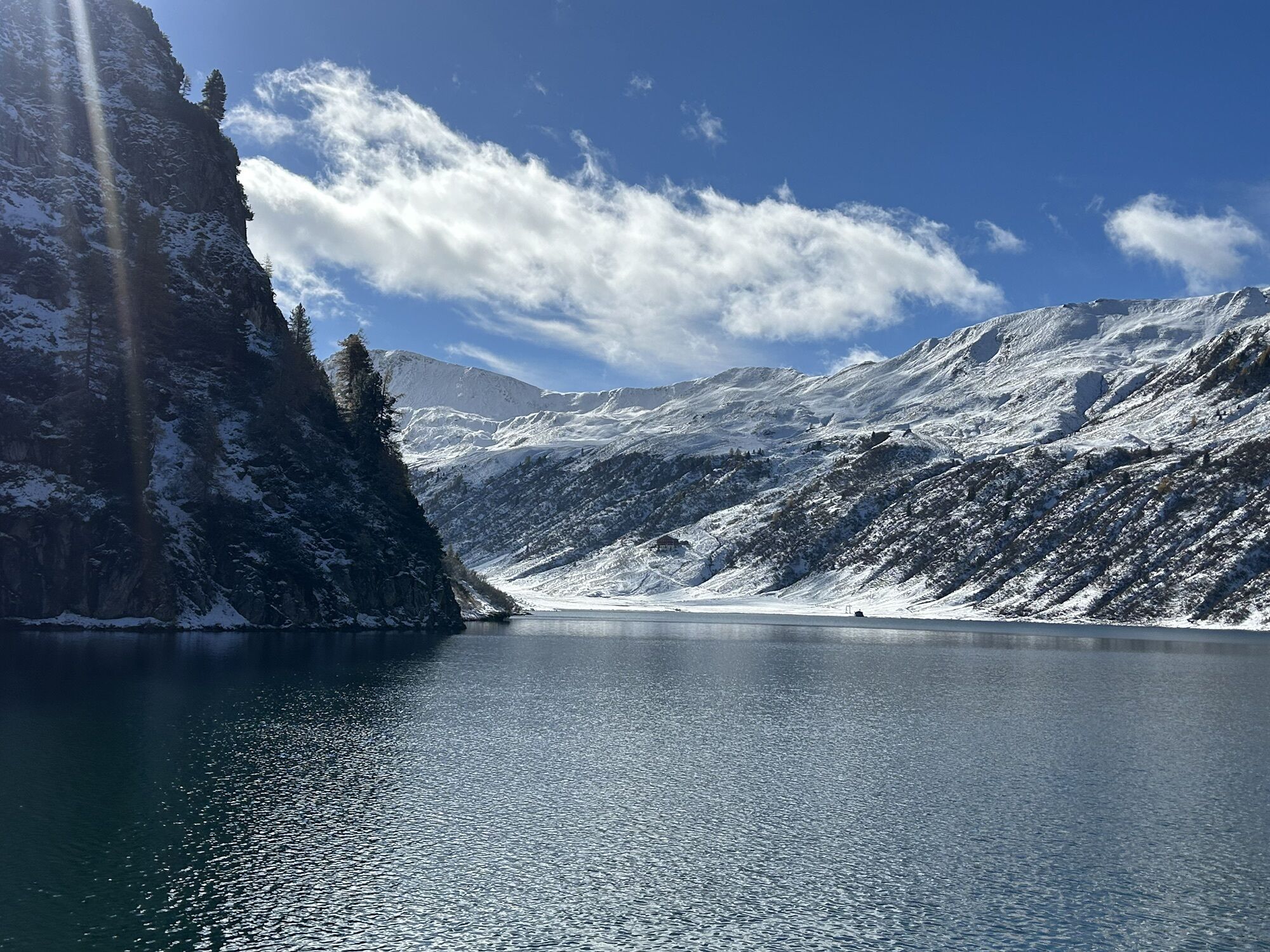
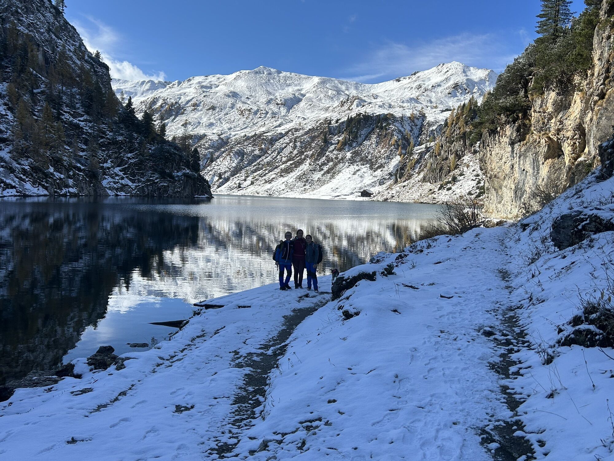
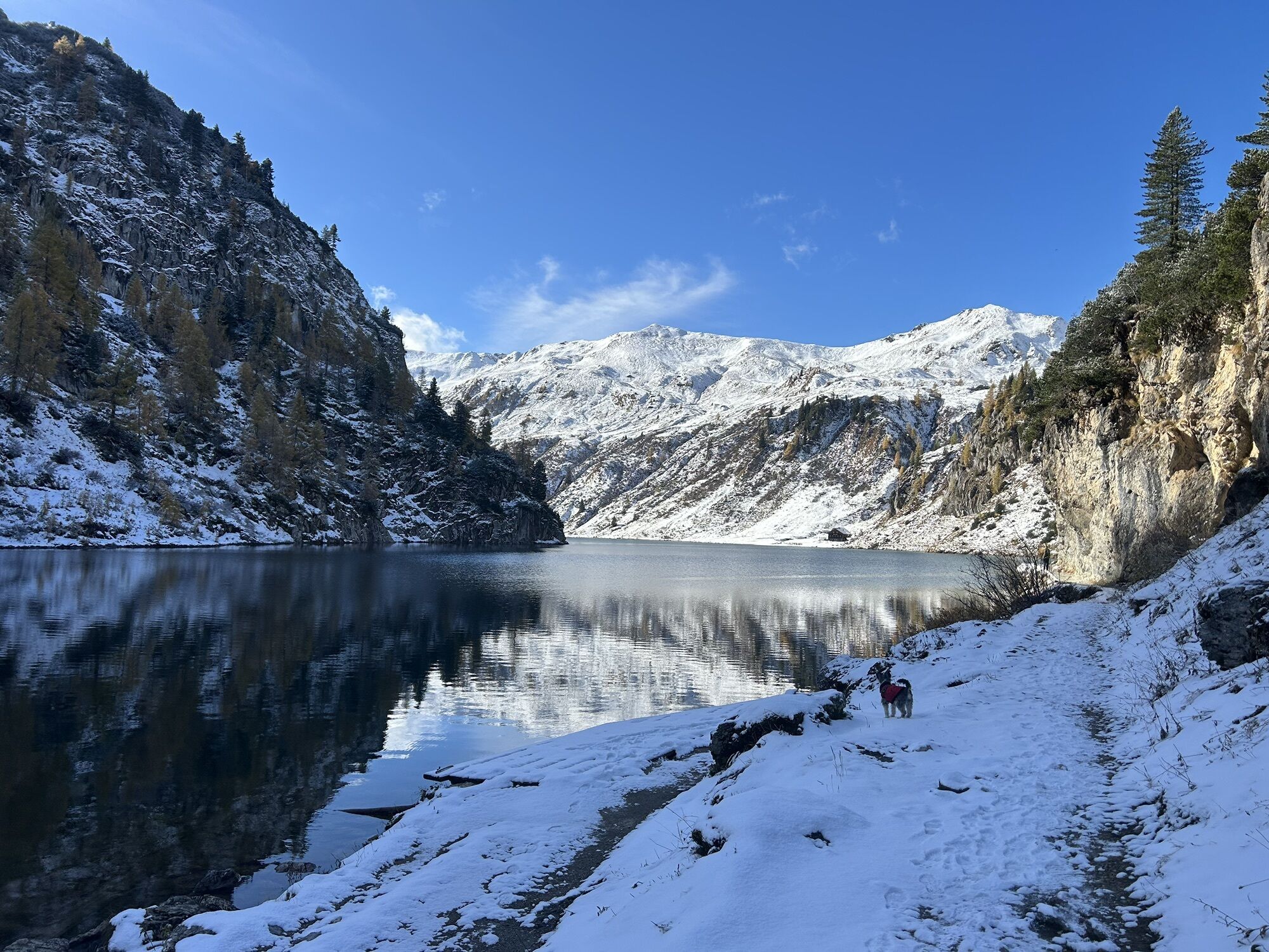
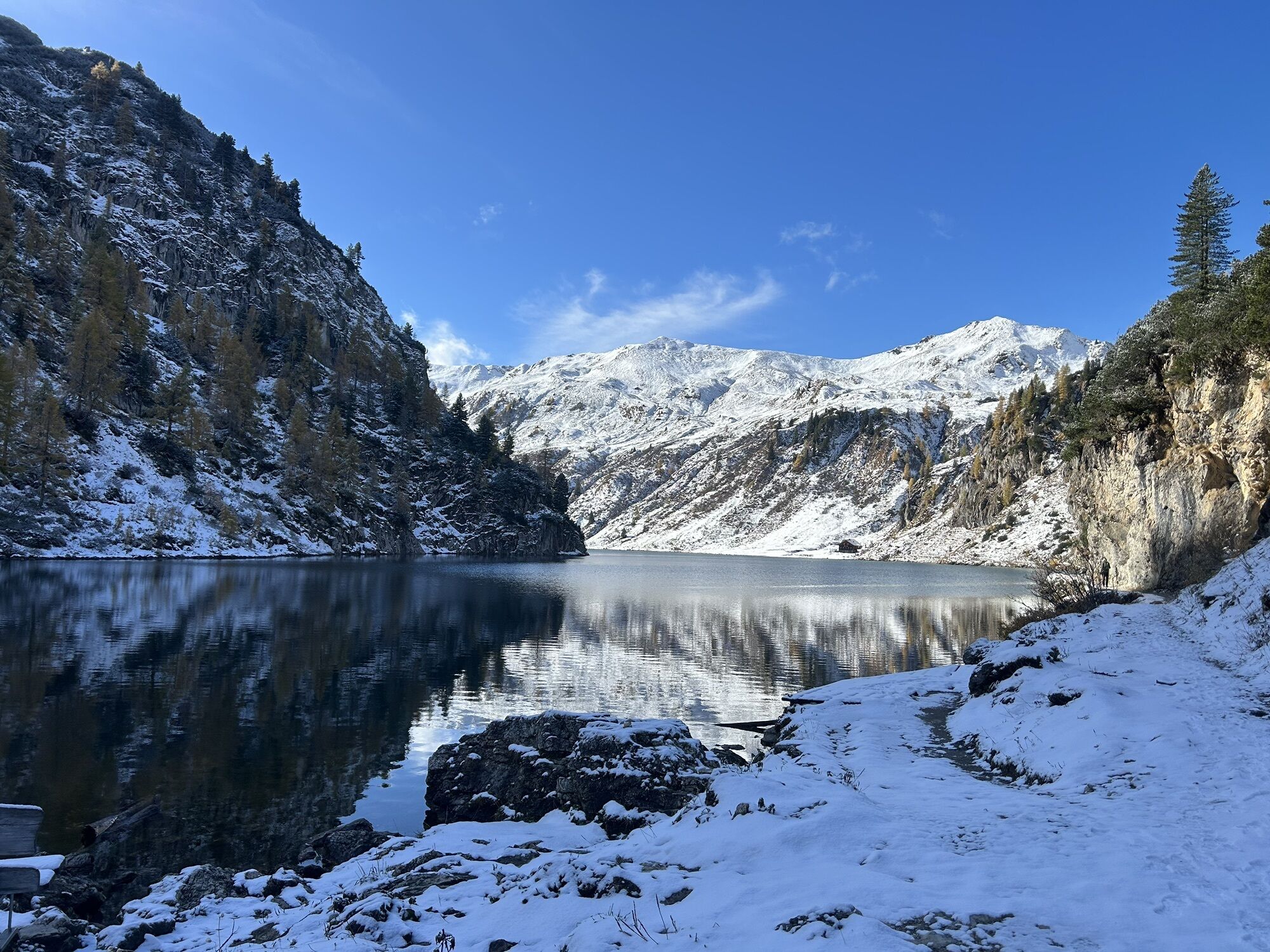
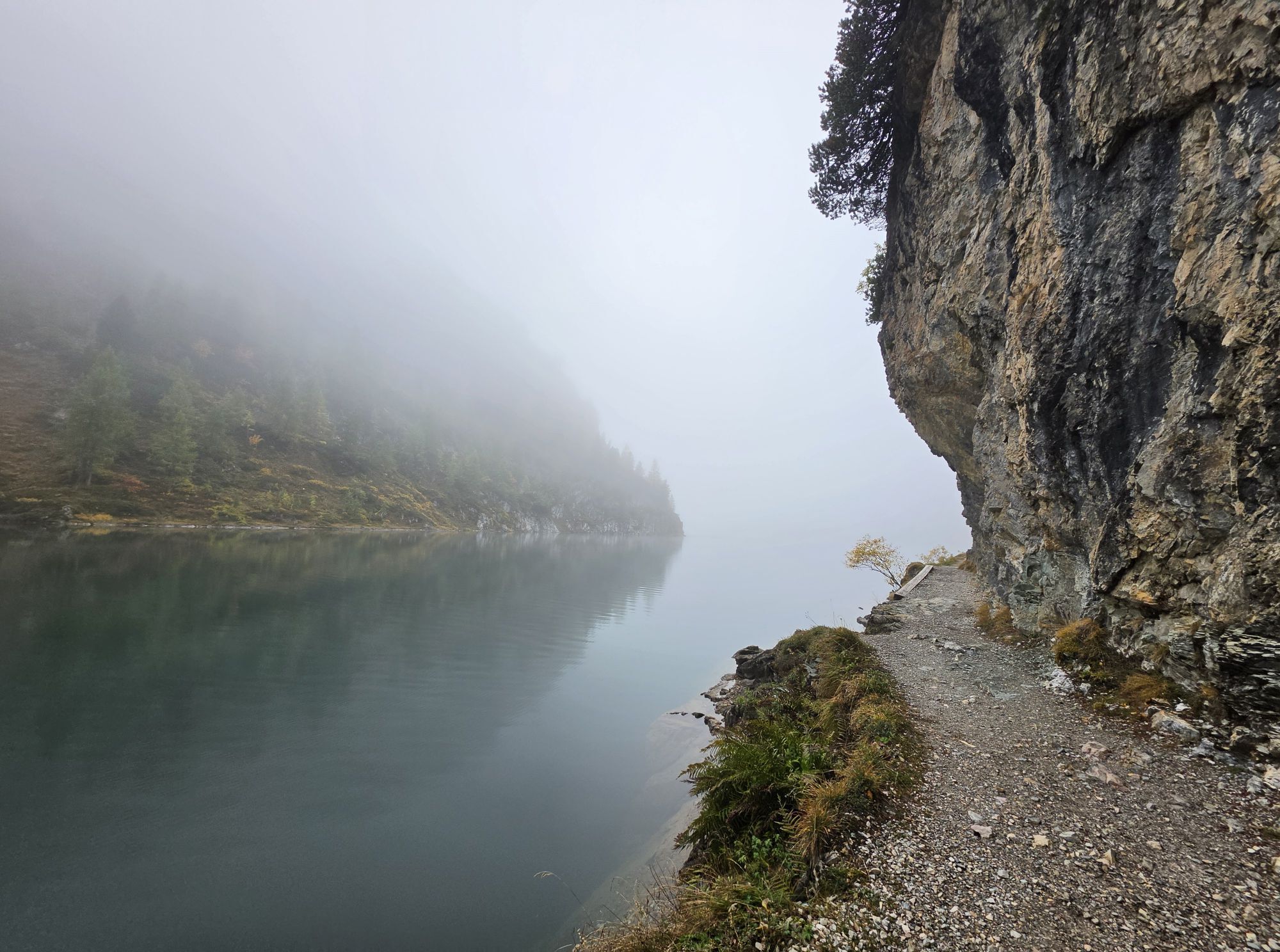
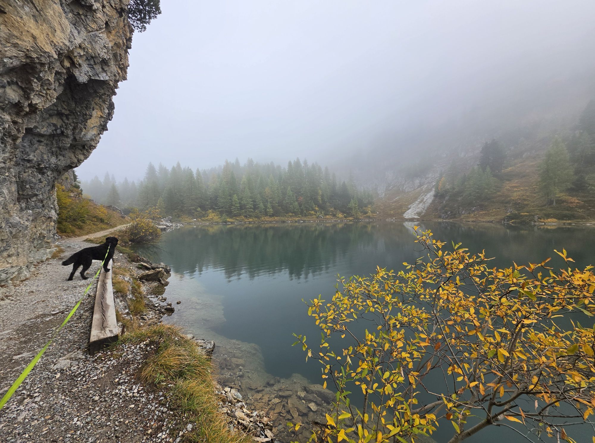
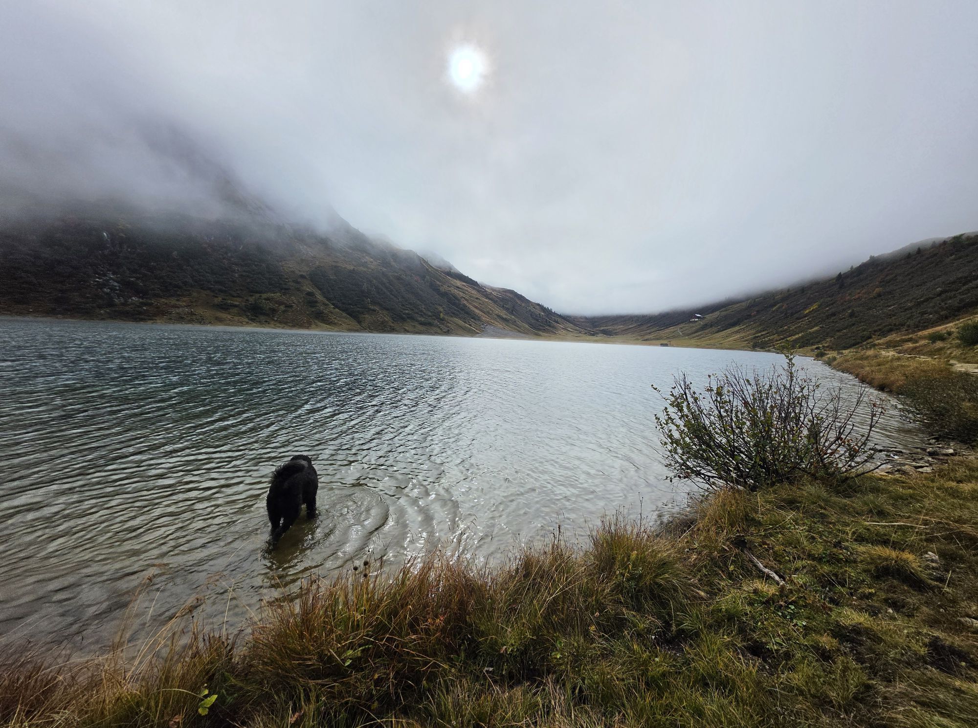
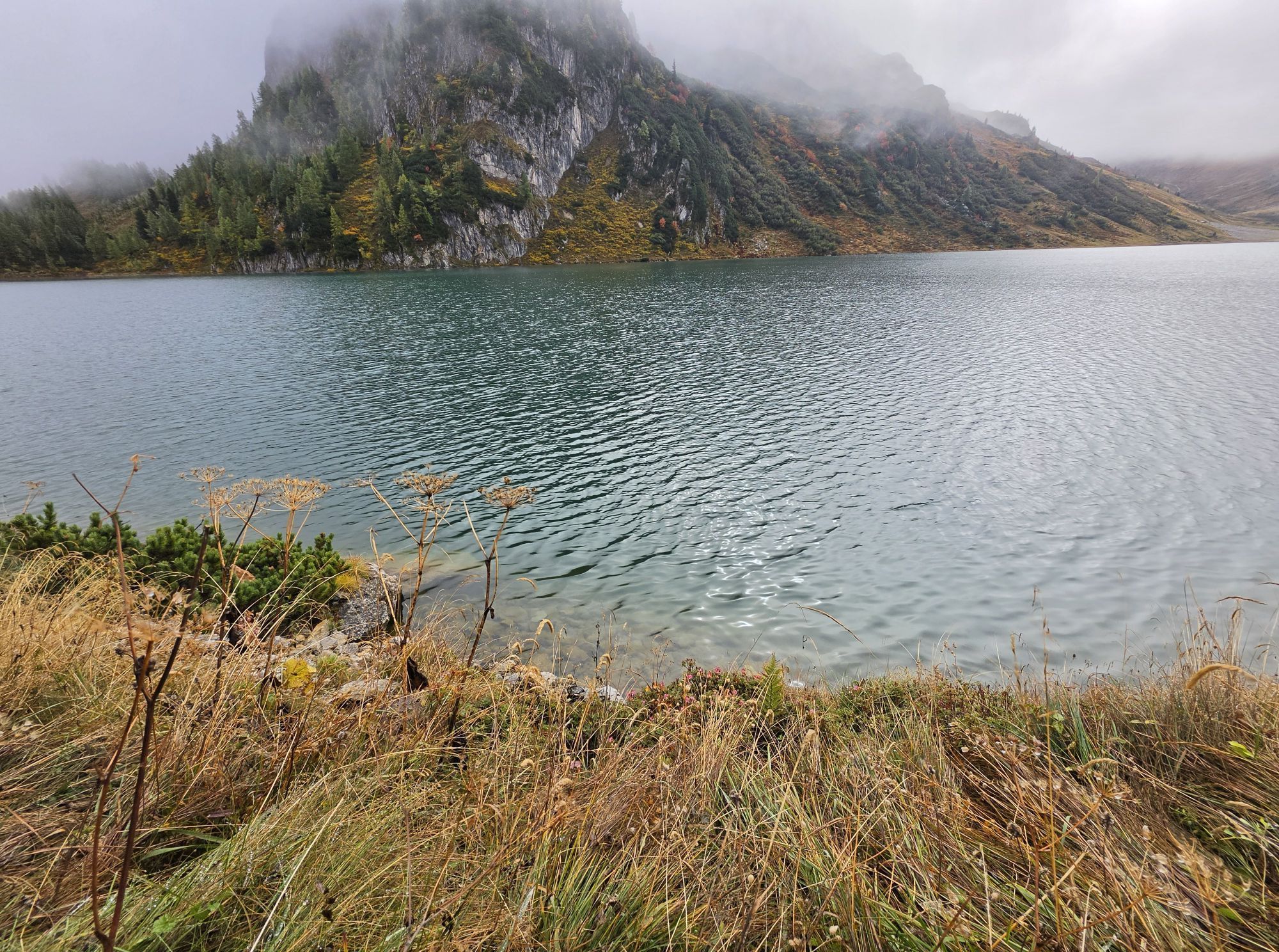
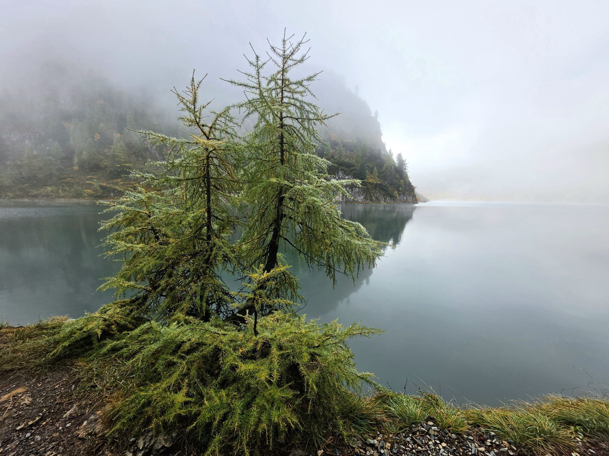
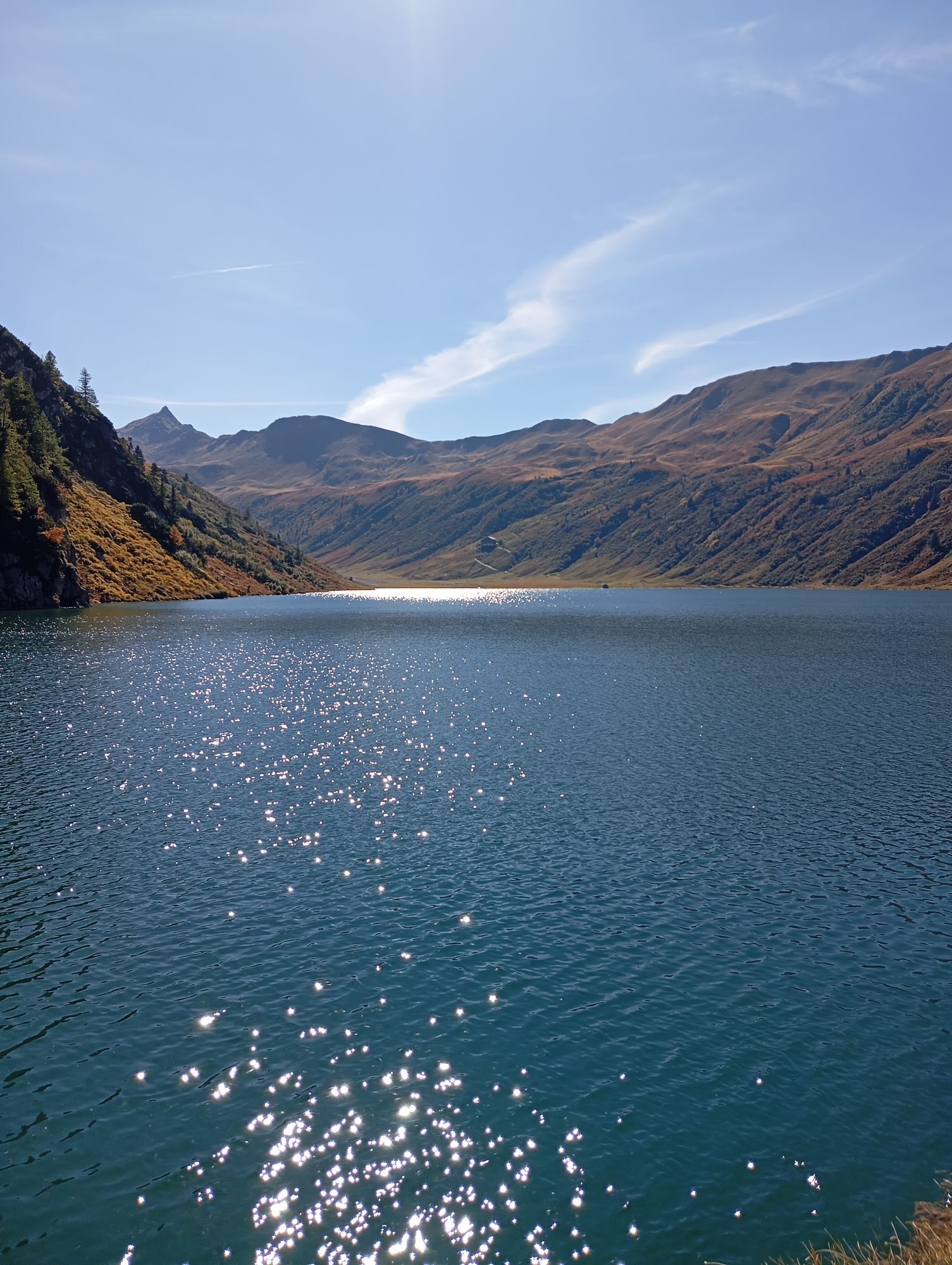
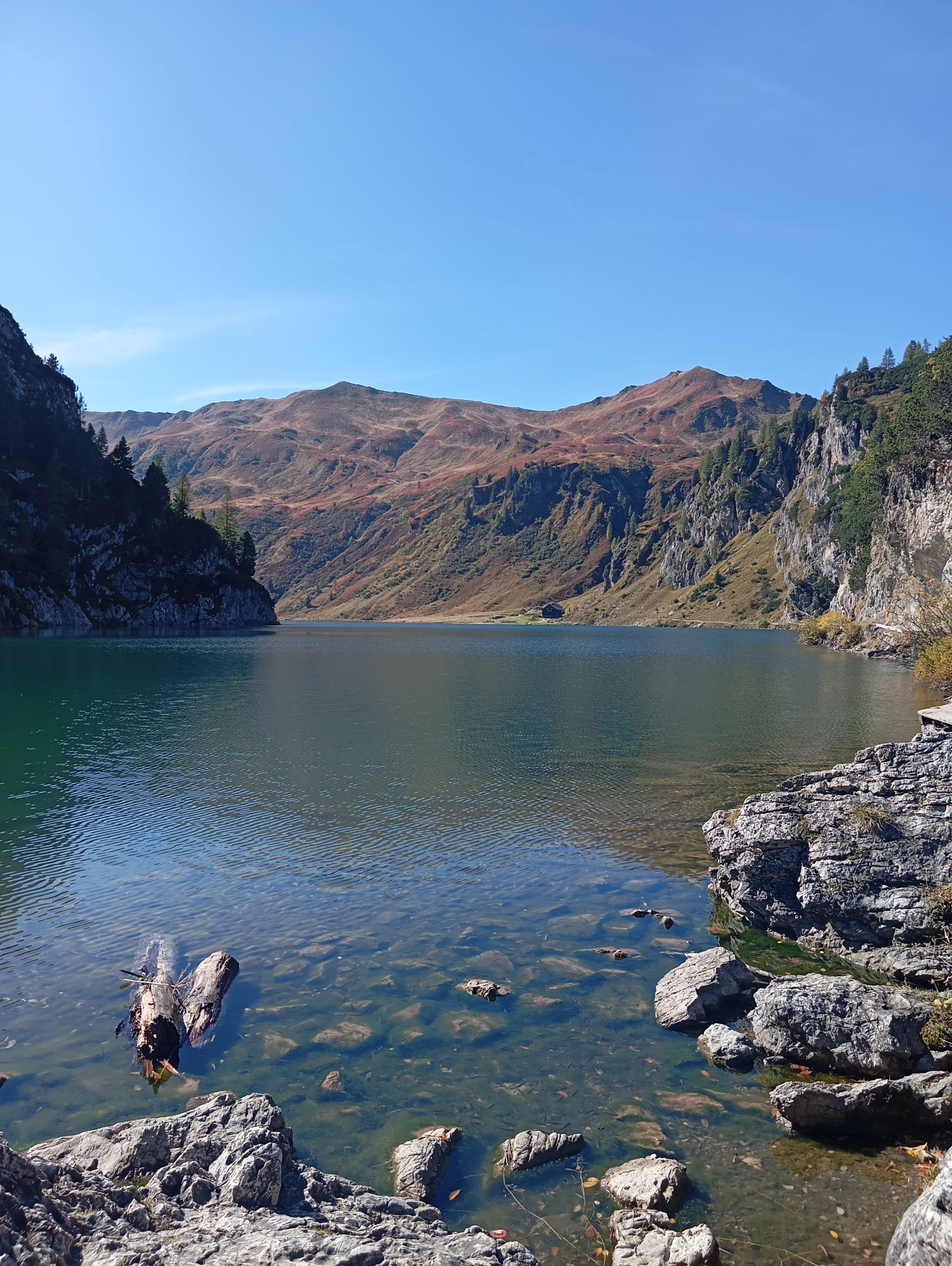
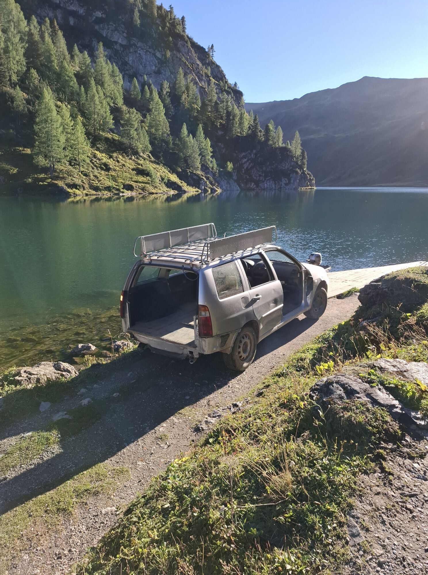
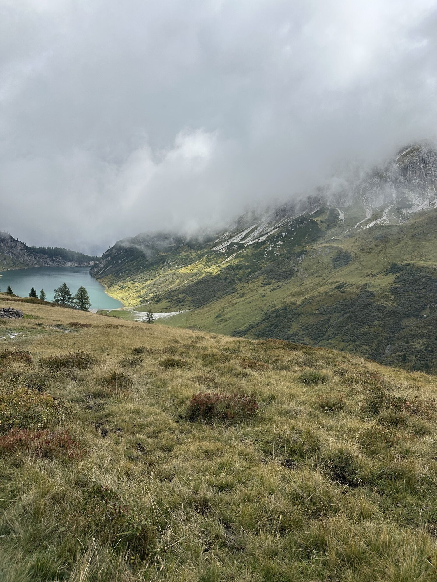
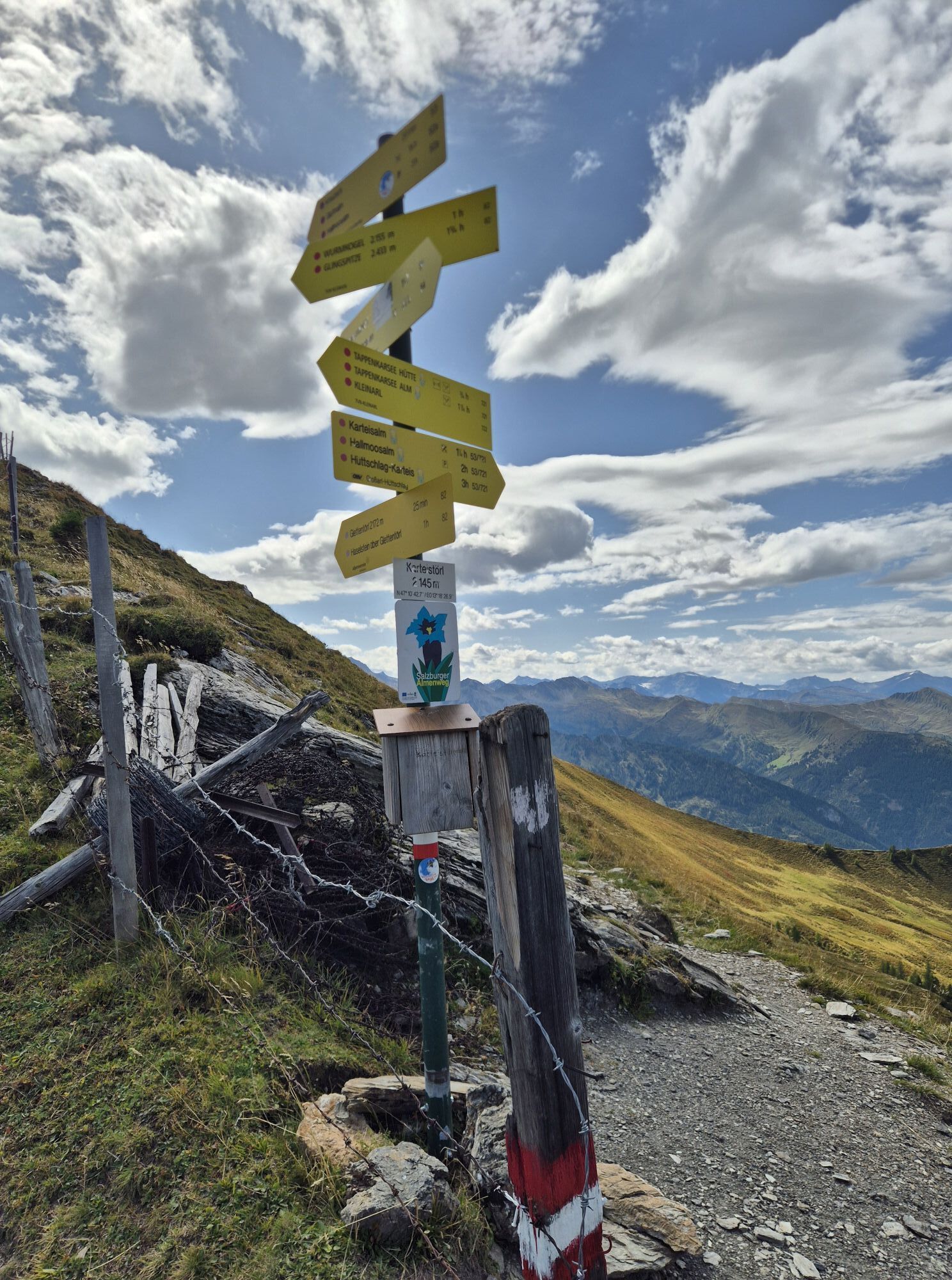
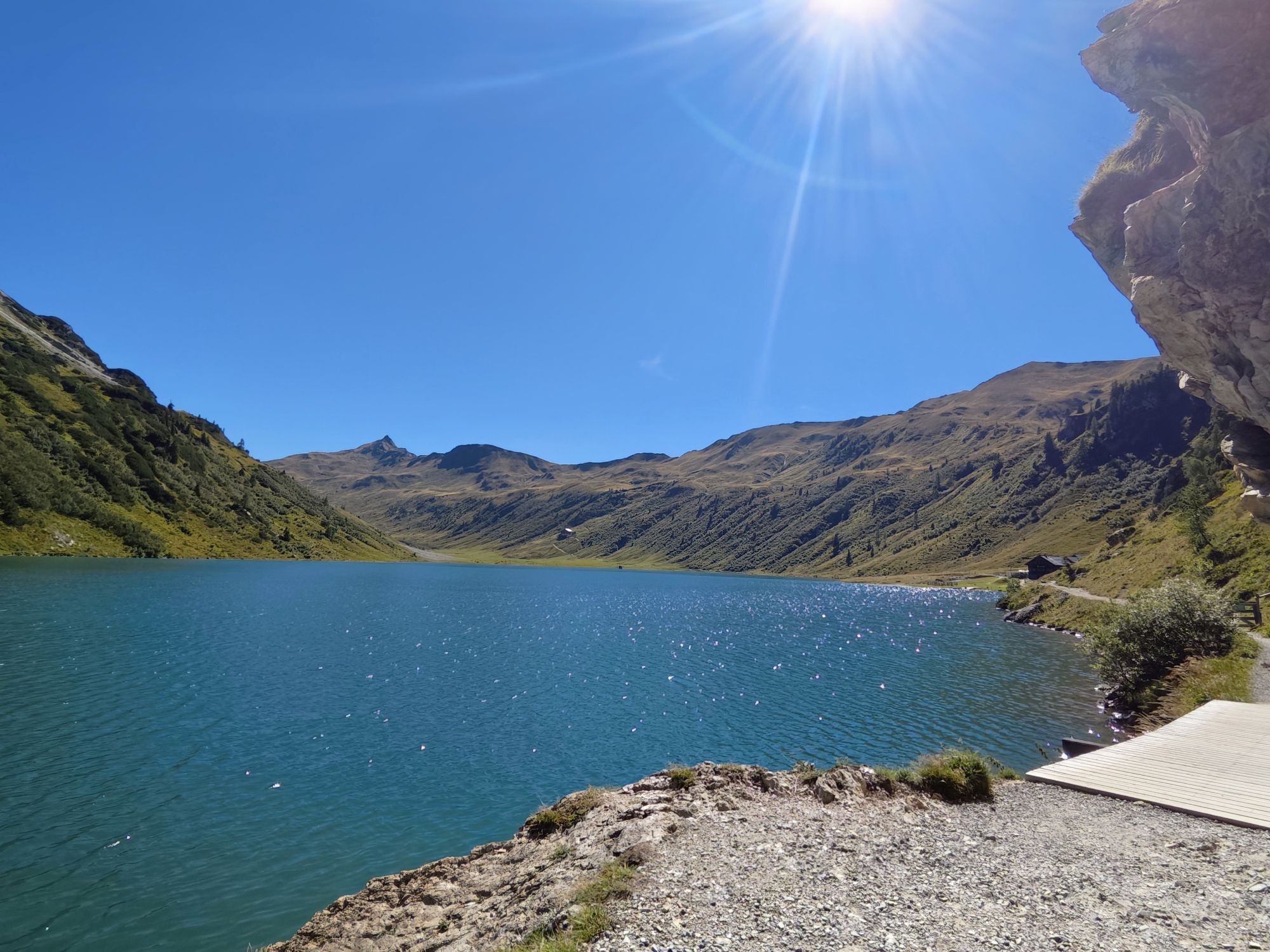
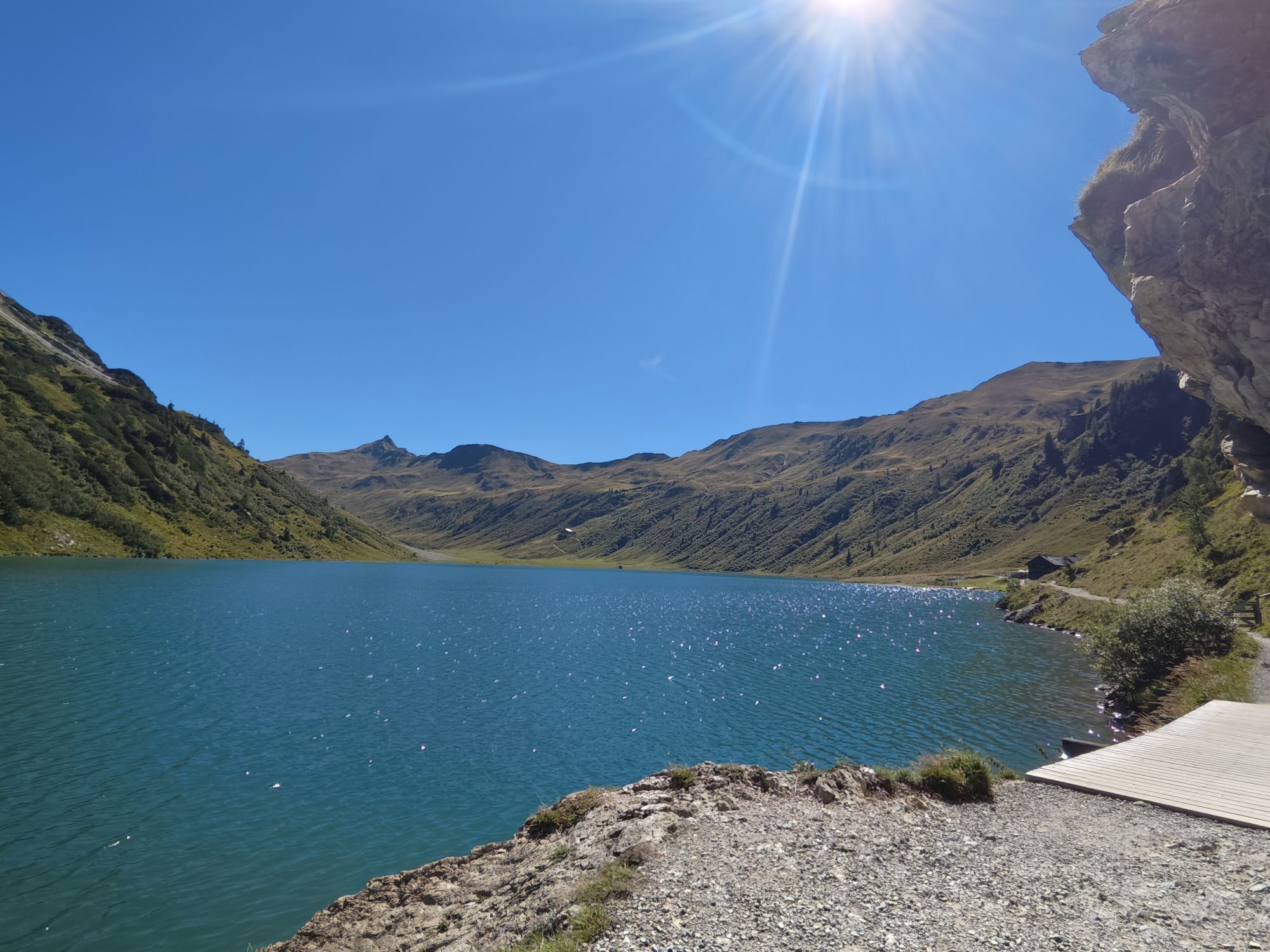
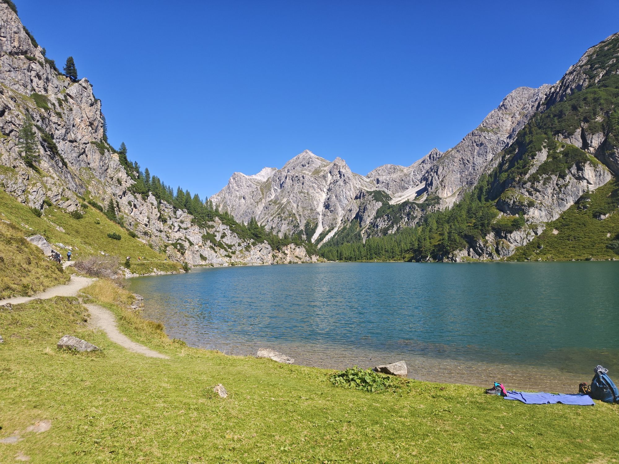
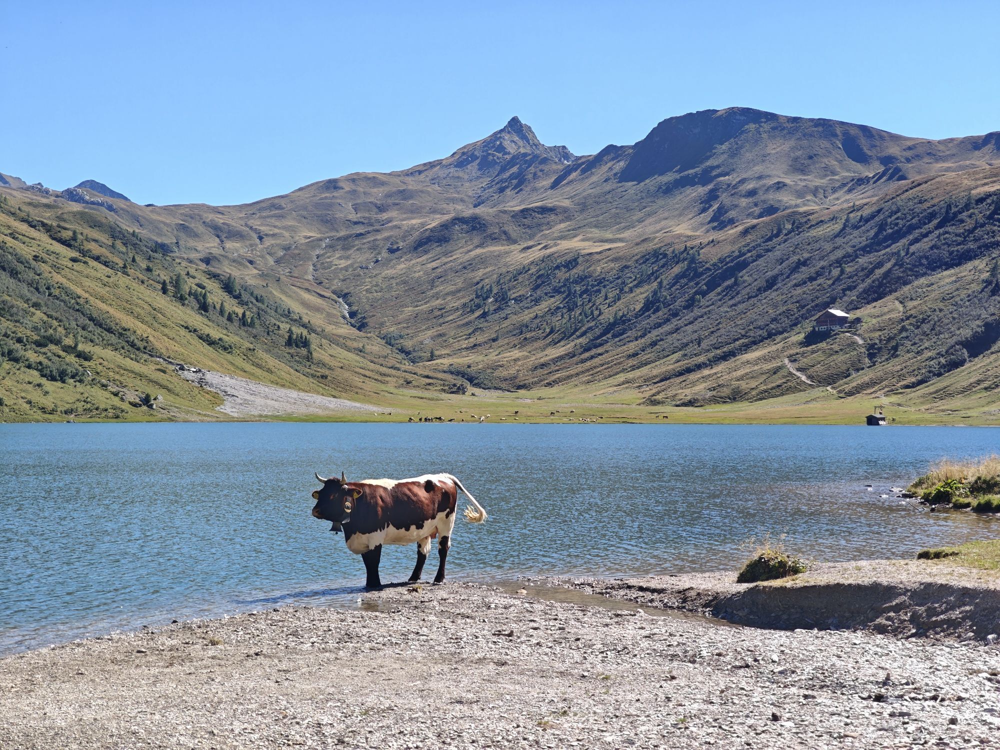
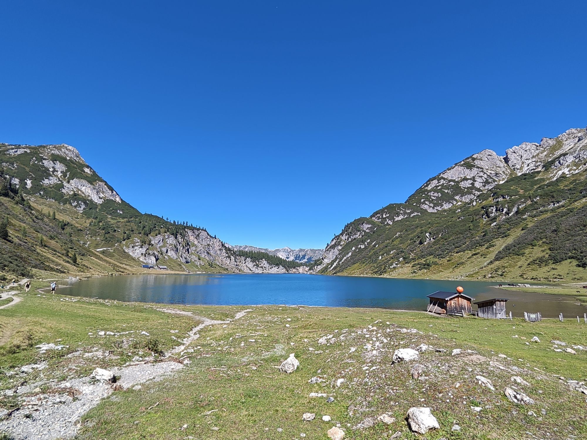
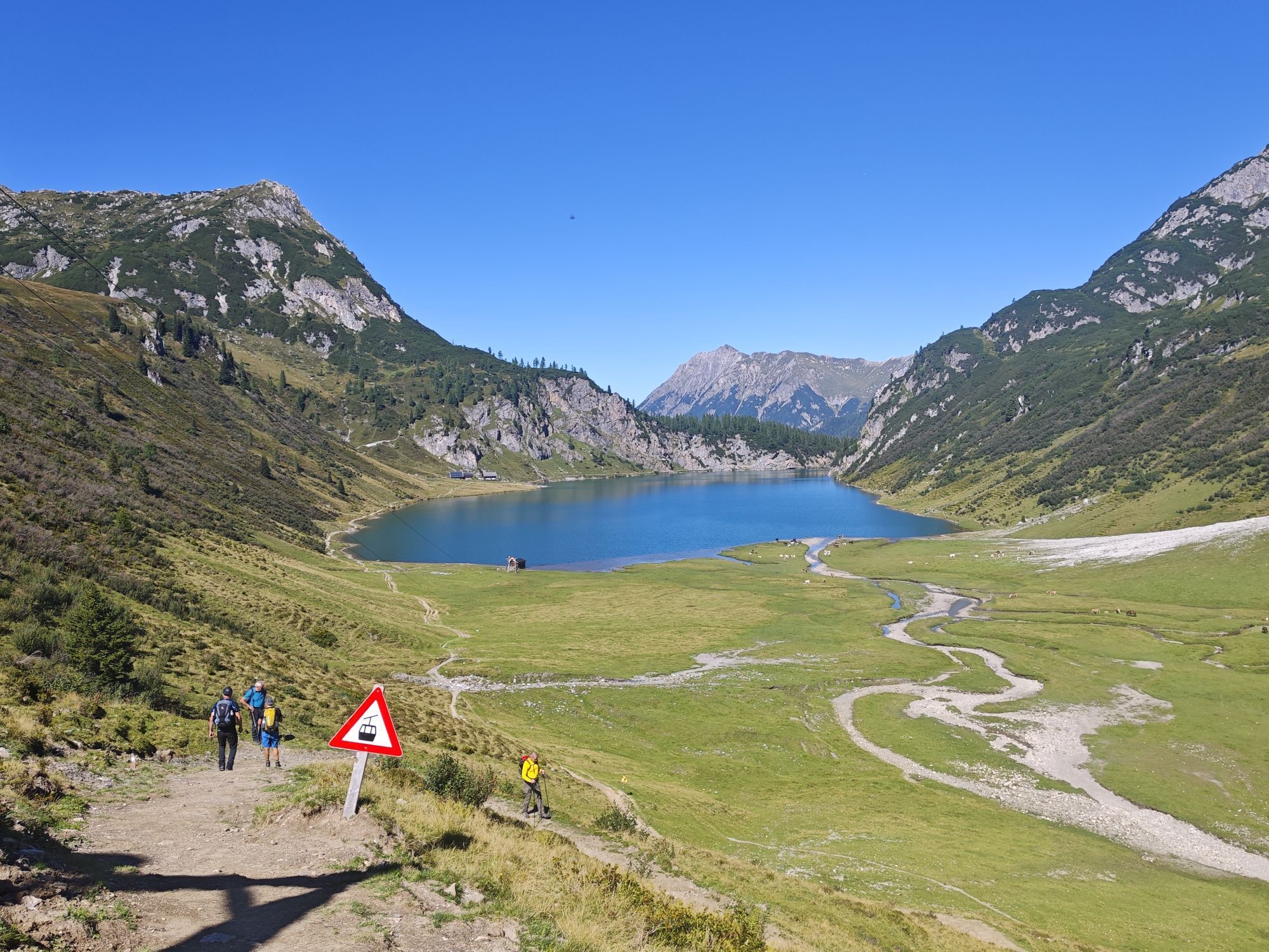
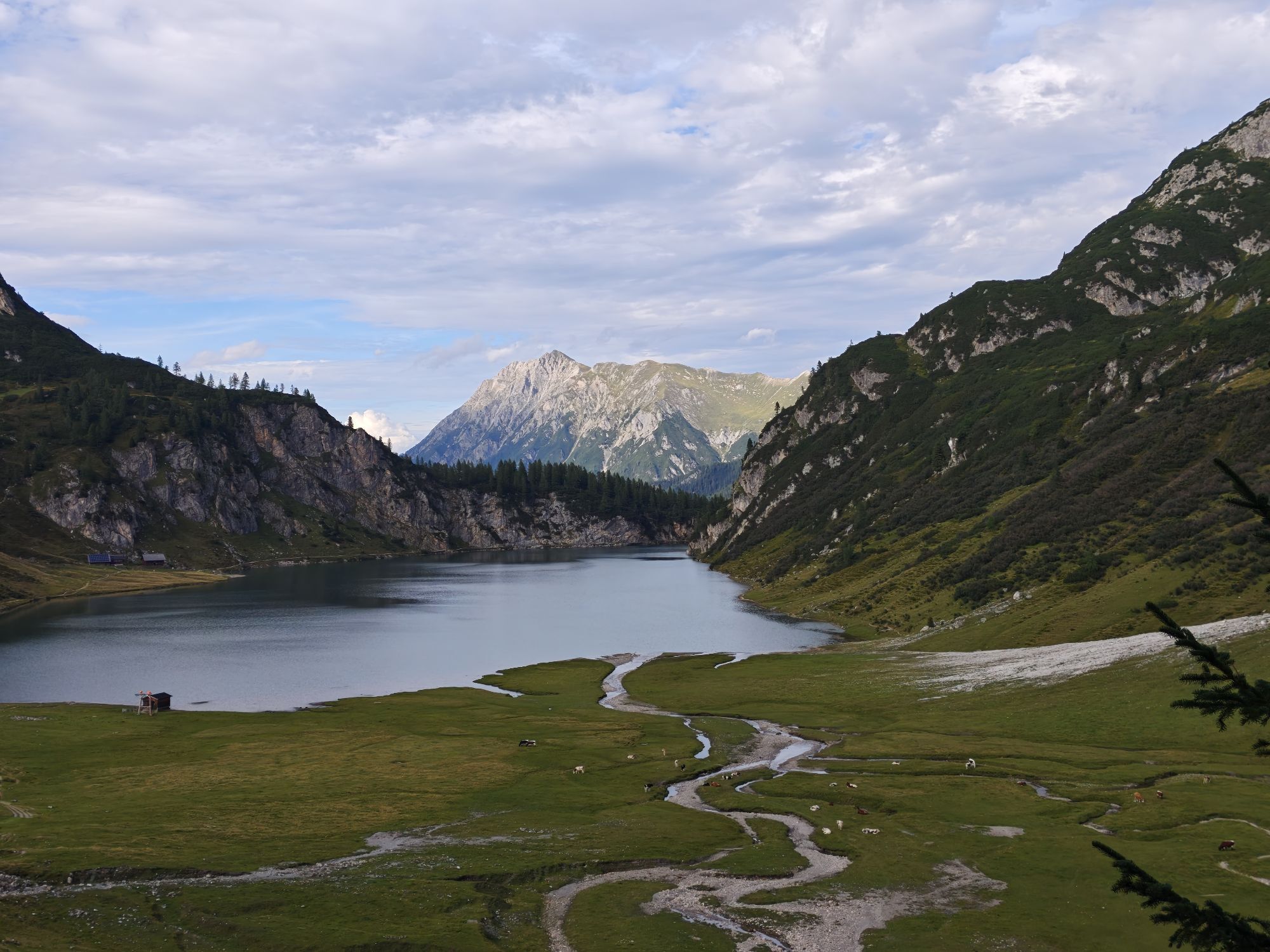
The route continues across mountain meadows towards Karteistörl. This section is particularly attractive in early summer, when the Alpine roses are in bloom. At Karteistörl, the view opens up over Tappenkarsee. This mountain lake is one of the largest in the Eastern Alps and lies impressively framed by steep rock faces in the Radstädter Tauern in the Salzburg region. Many legends surround this area, including the story of the Tappenkar dragon.
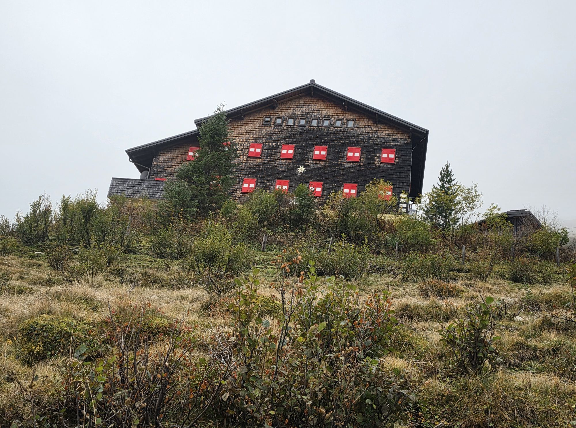
From Karteistörl, the trail descends to Tappenkarseehütte. This Alpine Club hut is located directly beside Tappenkarsee and offers refreshments. In addition to snacks, hot meals are also served, with Kaiserschmarrn and blueberry pancakes proving particularly popular. Overnight accommodation is available at the hut as well.
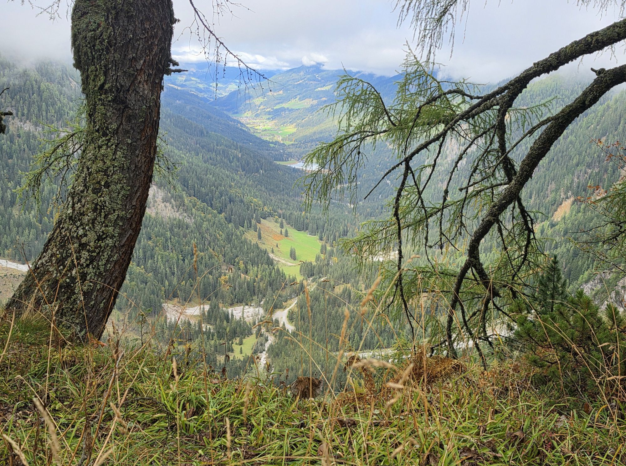
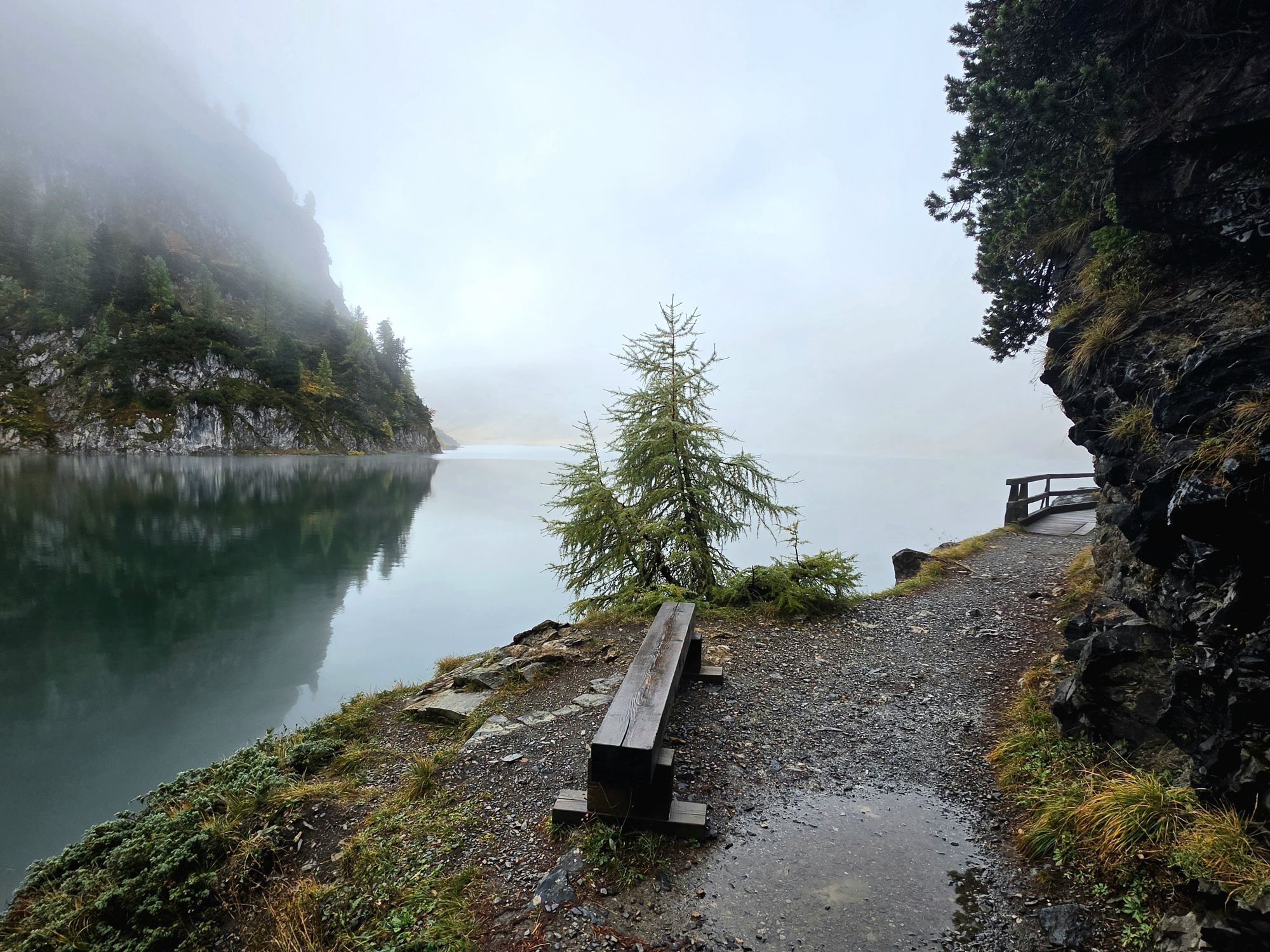
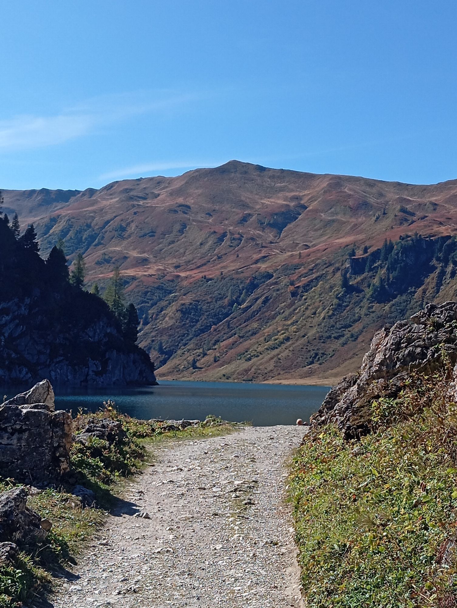
The hike then continues along the lakeshore to Tappenkarseealm. From there, the descent begins over a steep section. The trail winds down in numerous bends to Schwabalm in Kleinarl. Schwabalm is not serviced, but parking is available there.
From Schwabalm, the trail continues towards Jägersee. Anyone planning the route in the opposite direction, or starting from Jägersee, can reach Schwabalm from the left-hand shore of Jägersee via a vehicle-accessible lakeside road. This road is also used as a toll road for cars and is generally open to traffic from early June until early October.
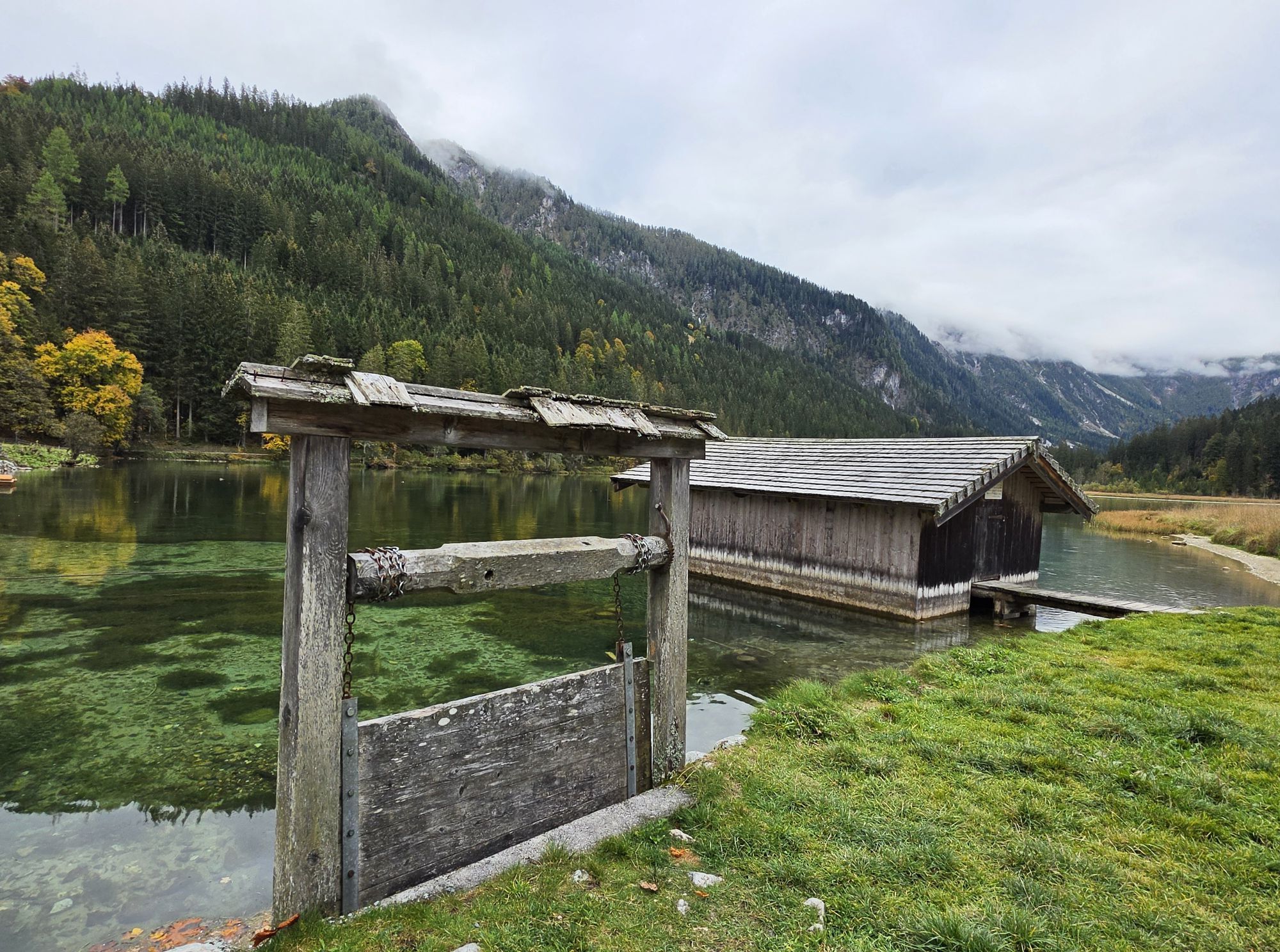
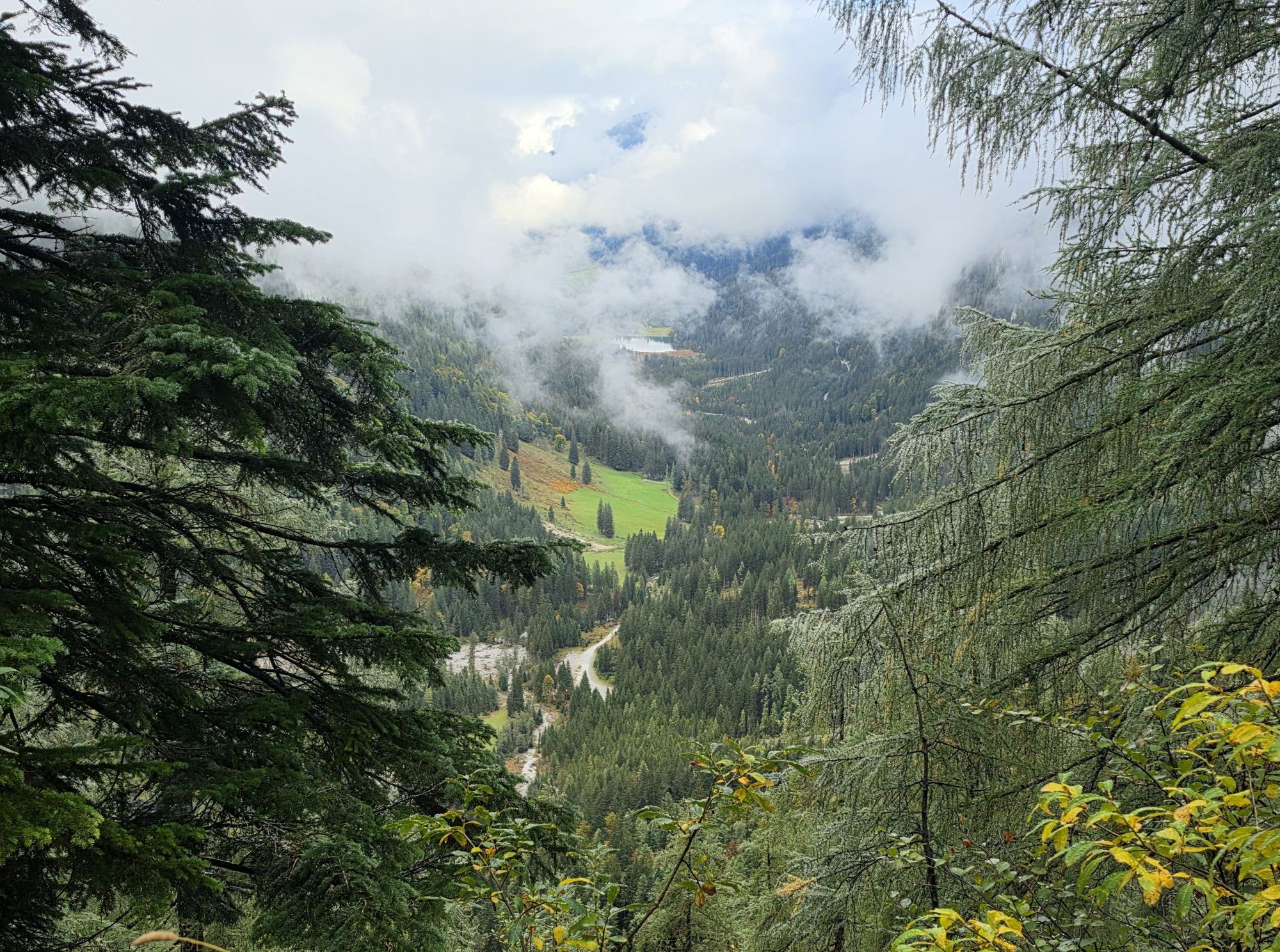
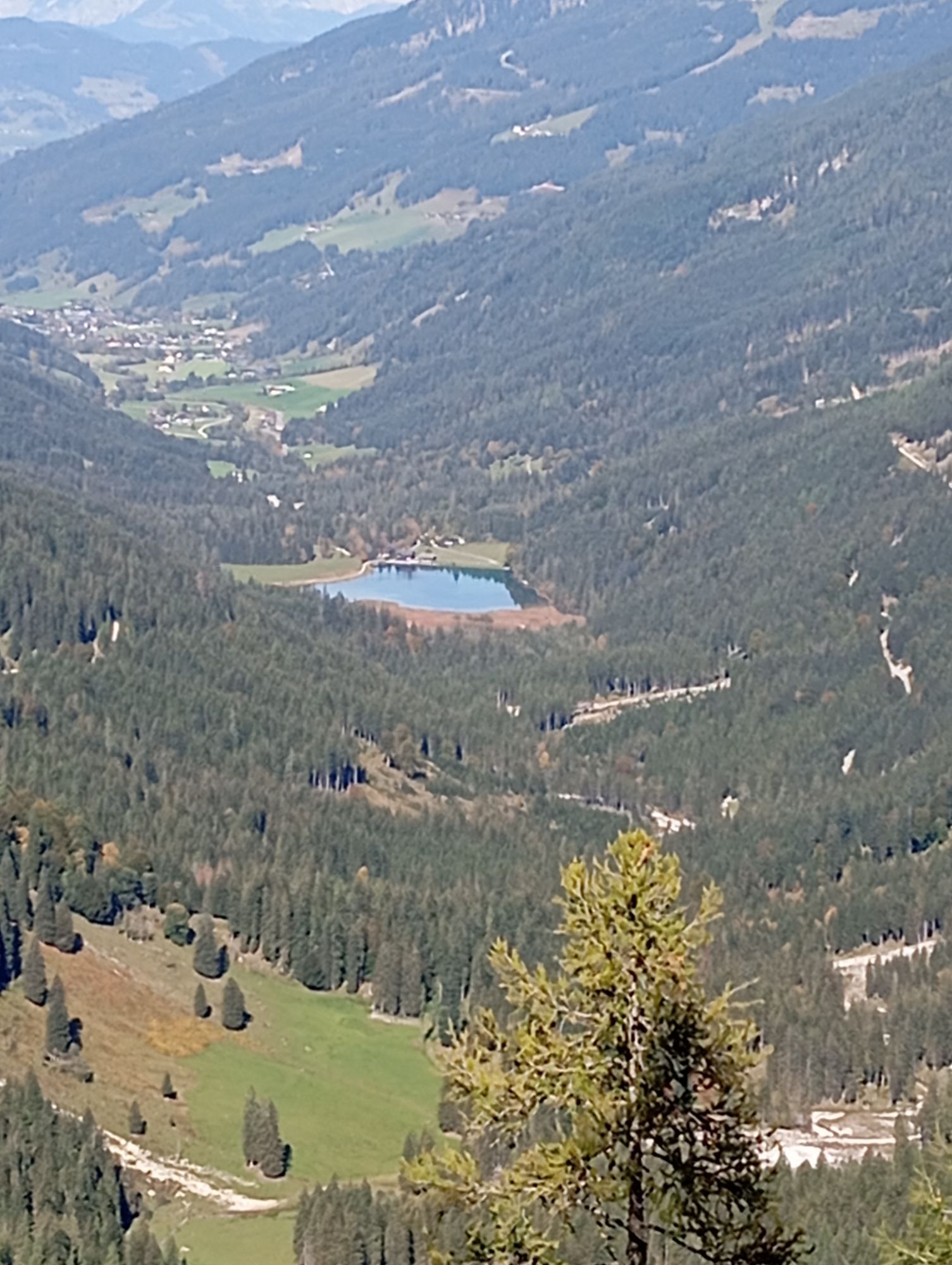
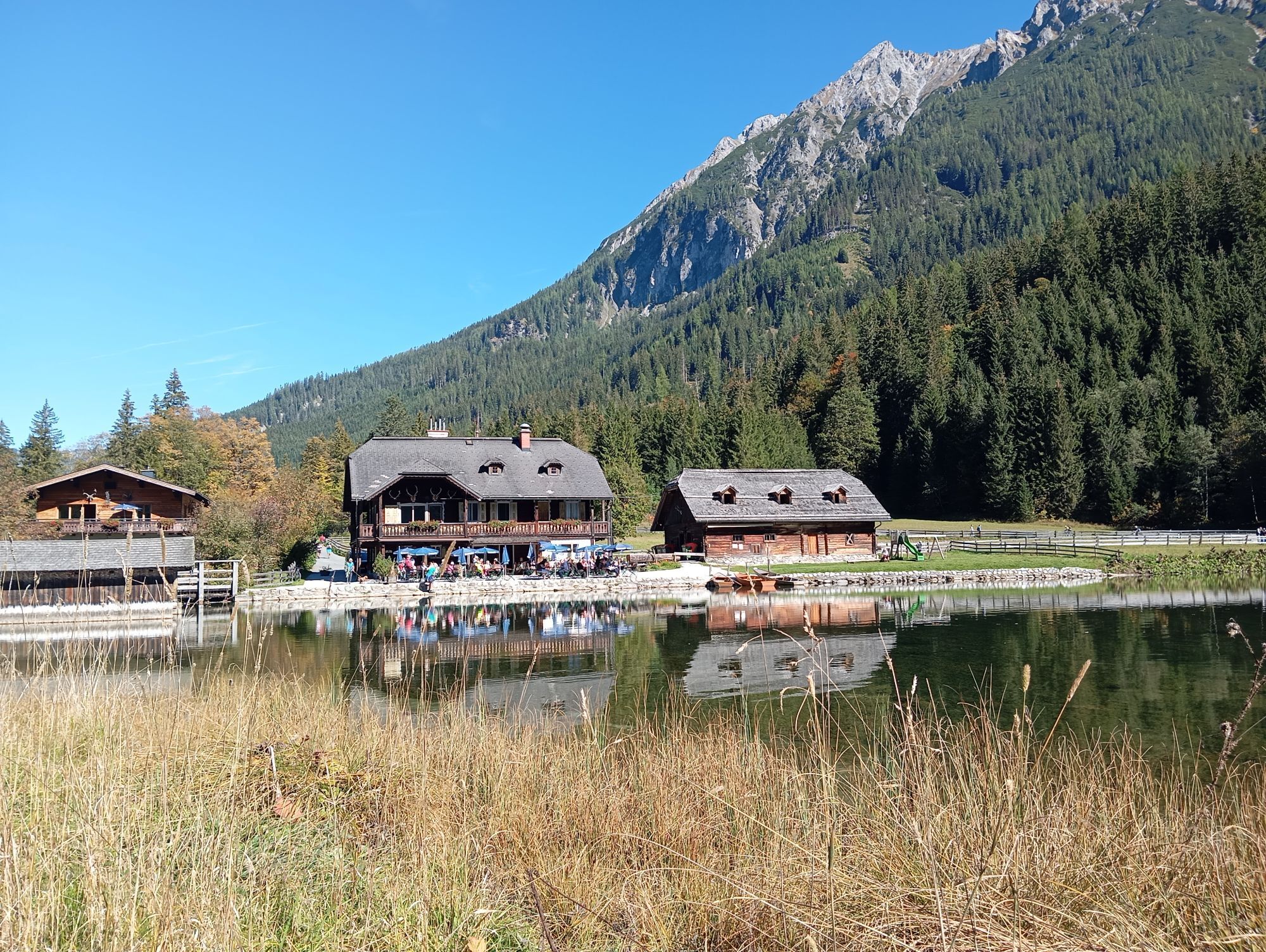
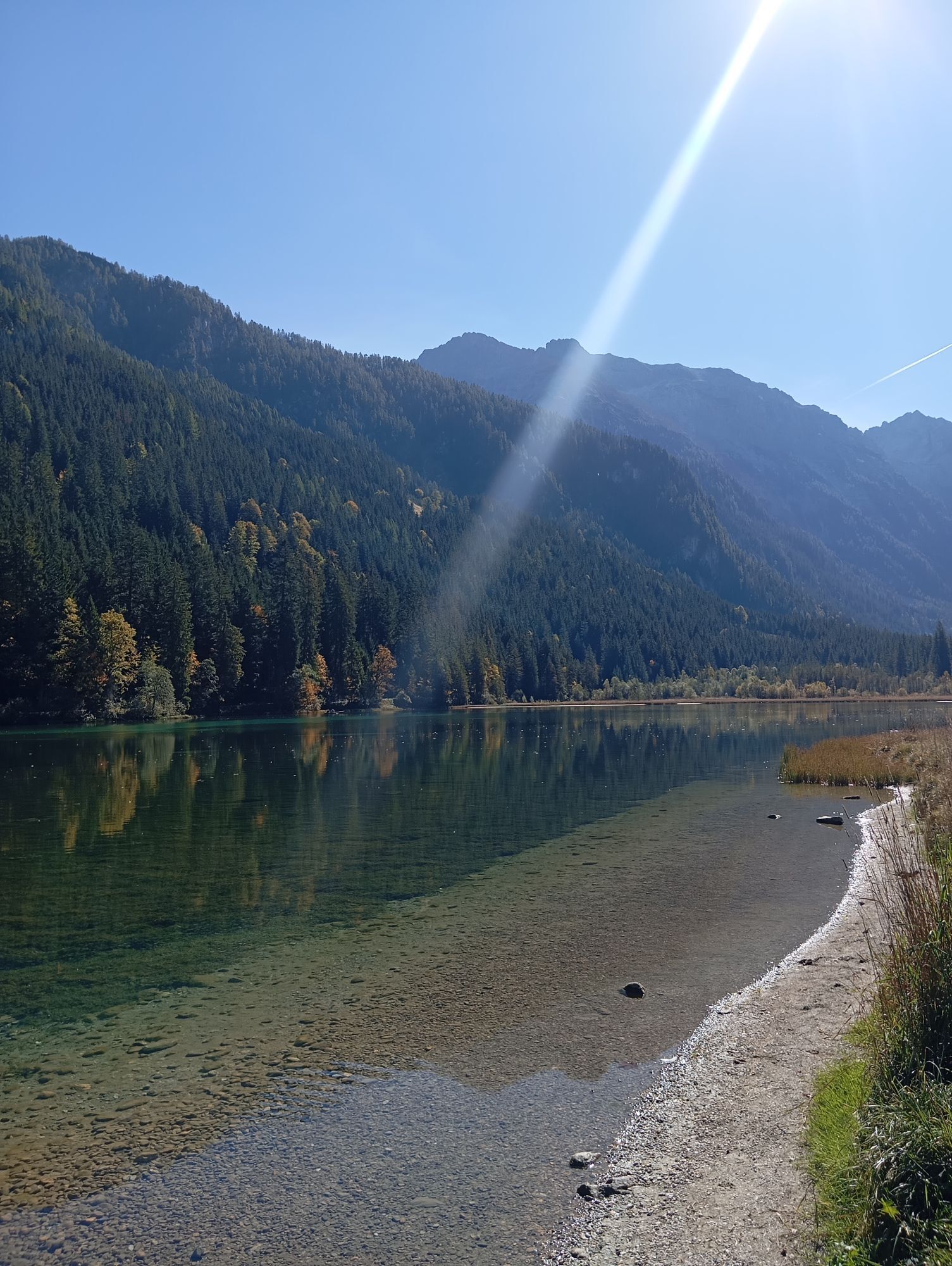
Jägersee is fed by the Kleinarler Ache and is a popular excursion destination. Shortly before reaching the lake, the trail branches off to the left, allowing you to walk around Jägersee at the end of the tour. A stop at the Gasthaus am Jägersee is well worth while.
There is a Postbus stop at the end of the route. From there, the return journey leads via Wagrain and St. Johann im Pongau back to Grossarltal. Alternatively, you can return by taxi. The connection should be planned in advance.

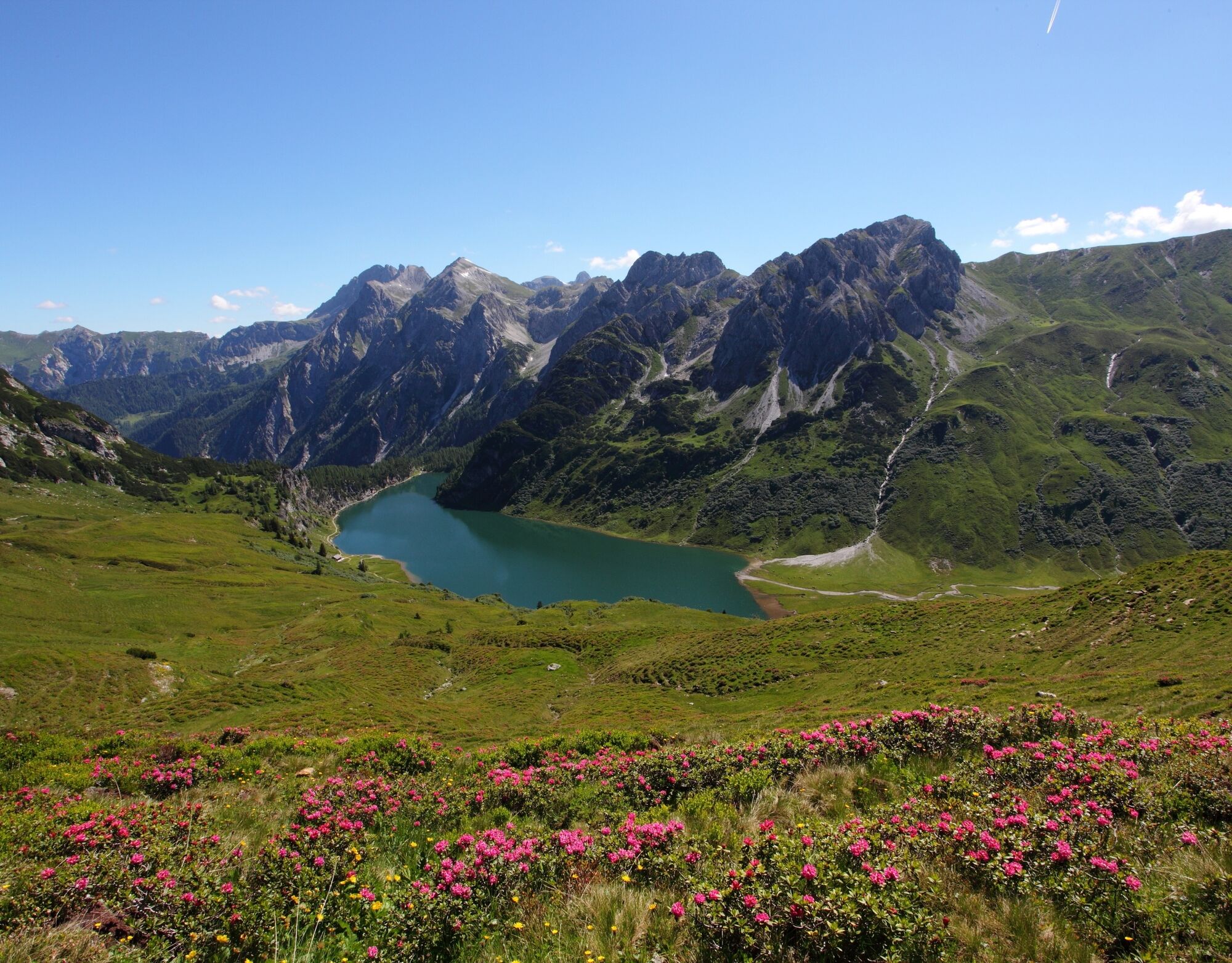
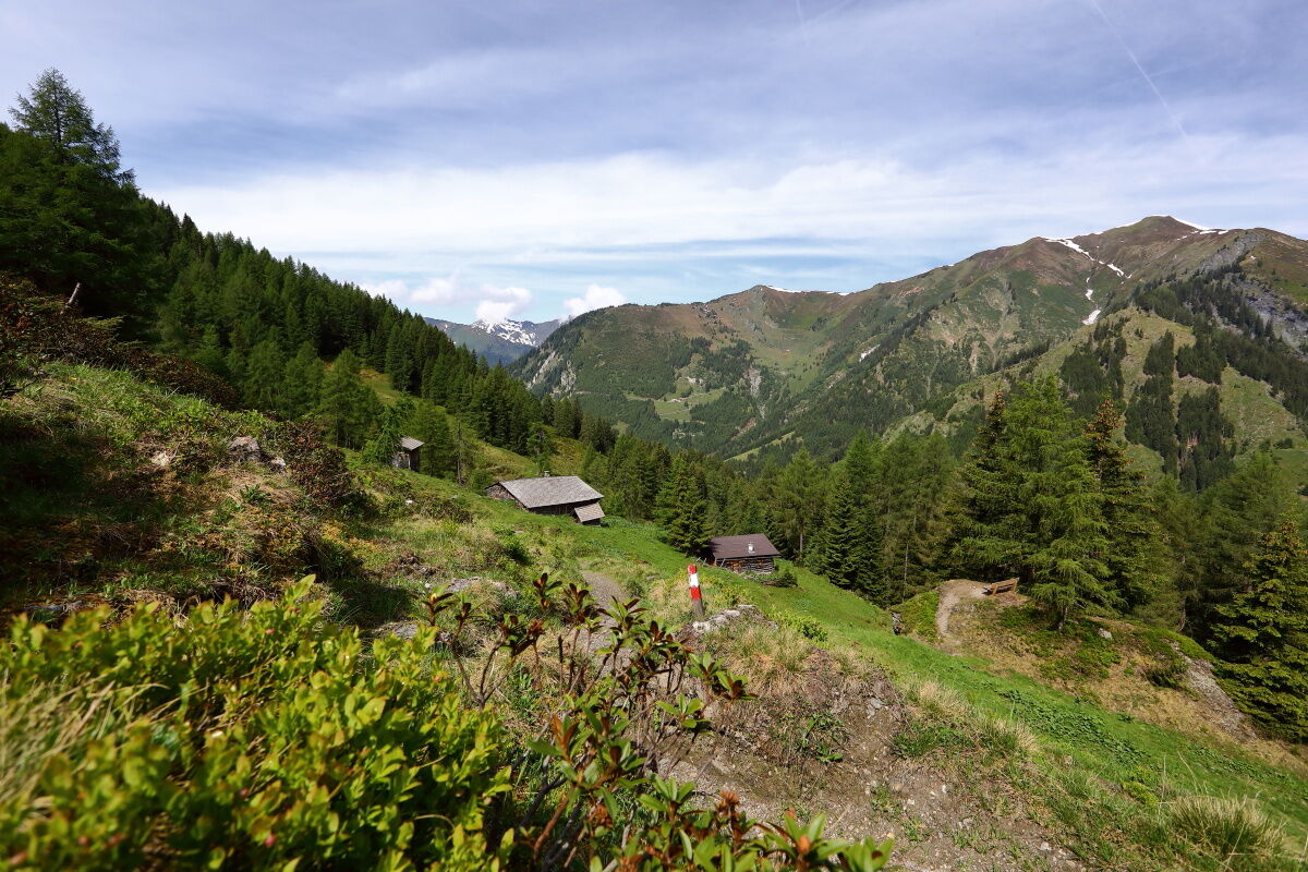
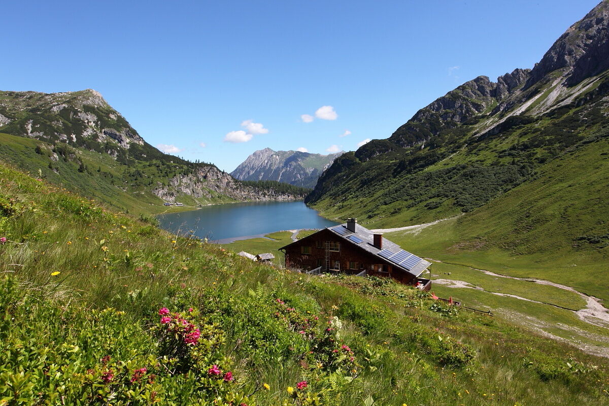
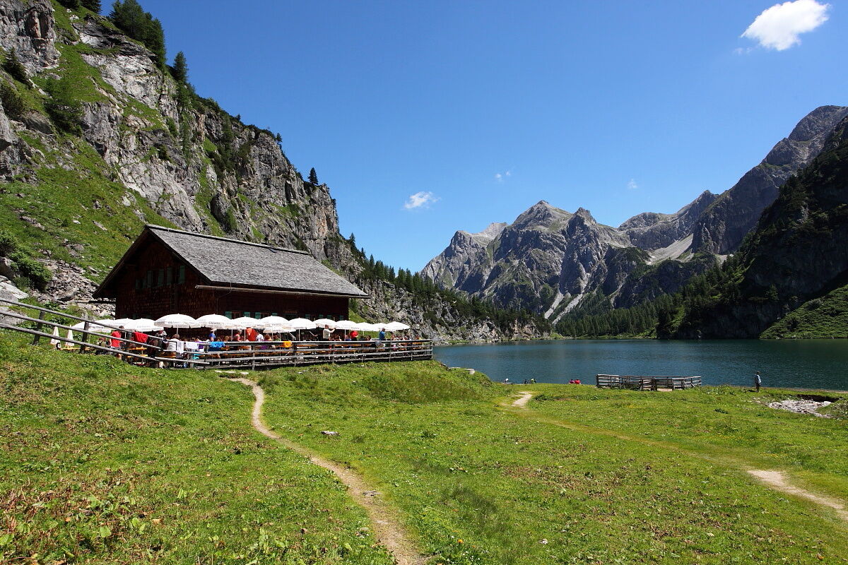

Drive by car or hiking taxi via the Seilsitzberg farm road (Hüttschlag/Karteis) up to the Hallmoosalm, 1,300 m (not managed) – parking available. Ascent via path no. 53 to the Karteisalm, 1,661 m (approx. 1 hr - not managed) and further through alpine meadows to the Karteistörl, 2,145 m (approx. 1 1/2 hrs) or via path no. 54 to the two Draugsteinalmen, 1,778 m (approx. 1 1/4 hrs) and further to the Draugsteintörl, 2,077 m (approx. 1 1/4 hrs). Descent on an alpine trail (path no. 721 or 702a) to the Tappenkarseehütte, 1,820 m (approx. 3/4 hr). Walk along the lakeshore to the Tappenkarseealm, 1,768 m (approx. 1/2 hr). Here begins the descent over a steep section with many switchbacks to the Schwabalm in Kleinarl (approx. 1 1/4 hrs - parking lot, from here return by hiking taxi to the Großarltal possible) or continue walking to the Jägersee (approx. 3/4 hr) – post bus stop.
Áno
Hiking boots with tread sole, hiking map
The tour ends in Kleinarl. You need to take a taxi or the postbus to return to Großarltal.
Drive by car or hiking taxi along the Seilsitzberg farm road to Hallmoosalm in Hüttschlag. You can also take the postbus line no. 540 to the "Karteis" stop and walk from there (approx. 1 hour to Hallmoosalm).
Hallmoosalm parking lot - there are parking spaces directly at Hallmoosalm and more further up.
In addition to snacks, the Tappenkarseehütte also offers hot delicacies. Particularly popular are the Kaiserschmarrn and blueberry pancakes.
The hut also offers space for overnight stays. Sunrises and sunsets at the Tappenkarsee are especially beautiful.

Webové kamery z prehliadky

Aktivity počas prehliadky
-

Kleinarl, Salzburg/Österreich
30.10.2026 – Turistika -
Kleinarl, Salzburg/Österreich
20.09.2026 – Turistika -
Kleinarl, Salzburg/Österreich
15.09.2026 – Turistika -

Kleinarl, Salzburg/Österreich
12.09.2026 – Turistika -

Tappenkarsee
04.09.2026 – Horská turistika -
Kleinarl, Salzburg/Österreich
03.09.2026 – Turistika -

Kleinarl, Schwabalm, Tappenkarsee, Jägersee
03.09.2026 – Turistika -

Kleinarl, Salzburg/Österreich
02.09.2026 – Turistika -

Kleinarl, Salzburg/Österreich
30.08.2026 – Turistika -

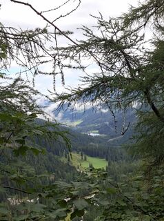
Kleinarl, Salzburg/Österreich
29.08.2026 – Turistika -
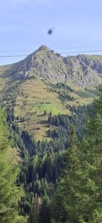
Hüttschlag, Salzburg/Österreich
27.08.2026 – Turistika -

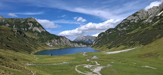
Kleinarl-Schwabalm Tappenkarseehütte
26.08.2026 – Horská turistika -
Kleinarl, Salzburg/Österreich
23.08.2026 – Elektronický bicykel -

Kleinarl, Salzburg/Österreich
22.08.2026 – Turistika -

Hüttschlag, Salzburg/Österreich
22.08.2026 – Turistika -
Hüttschlag, Salzburg/Österreich
20.08.2026 – Turistika -
Kleinarl, Salzburg/Österreich
17.08.2026 – Turistika -
Kleinarl, Salzburg/Österreich
13.08.2026 – Turistika -

Kleinarl, Salzburg/Österreich
12.08.2026 – Turistika -
Kleinarl, Salzburg/Österreich
04.08.2026 – Turistika
Obľúbené výlety v okolí
-
5,0
Hüttschlag: Karteistörl - Tappenkarsee - Draugsteintörl - Draugsteinalmen
strednáTuristika 13,5 km -
4,9
4-Gipfel-Tour
strednáHorská turistika 6,40 km -
4,2
Tappenkarsee Kleinarl
strednáTuristika 9,11 km -
4,8
Großarl: Himmelsroute
strednáTuristika 5,41 km -
4,7
Großarl: Mooslehenalm – Niggeltalalm – Viehhausalm
strednáTuristika 5,44 km -
4,6
Grießenkareck
strednáTuristika 4,89 km -
4,7
Großarl: Saukaralm - Saukarkopf - Gerstreitalm
strednáTuristika 9,39 km -
4,8
Grossarl: Gründegg
strednáTuristika 9,58 km -
4,8
Großarl: Bichlalm
strednáMountainbike 18,9 km -
4,4
Ennskraxn (2410m)
ťažkéTuristika 14,7 km
Turistika a stopovanie


Nenechajte si ujsť ponuky a inšpiráciu na ďalšiu dovolenku
Vaša e-mailová adresa bol pridaný do poštového zoznamu.


