



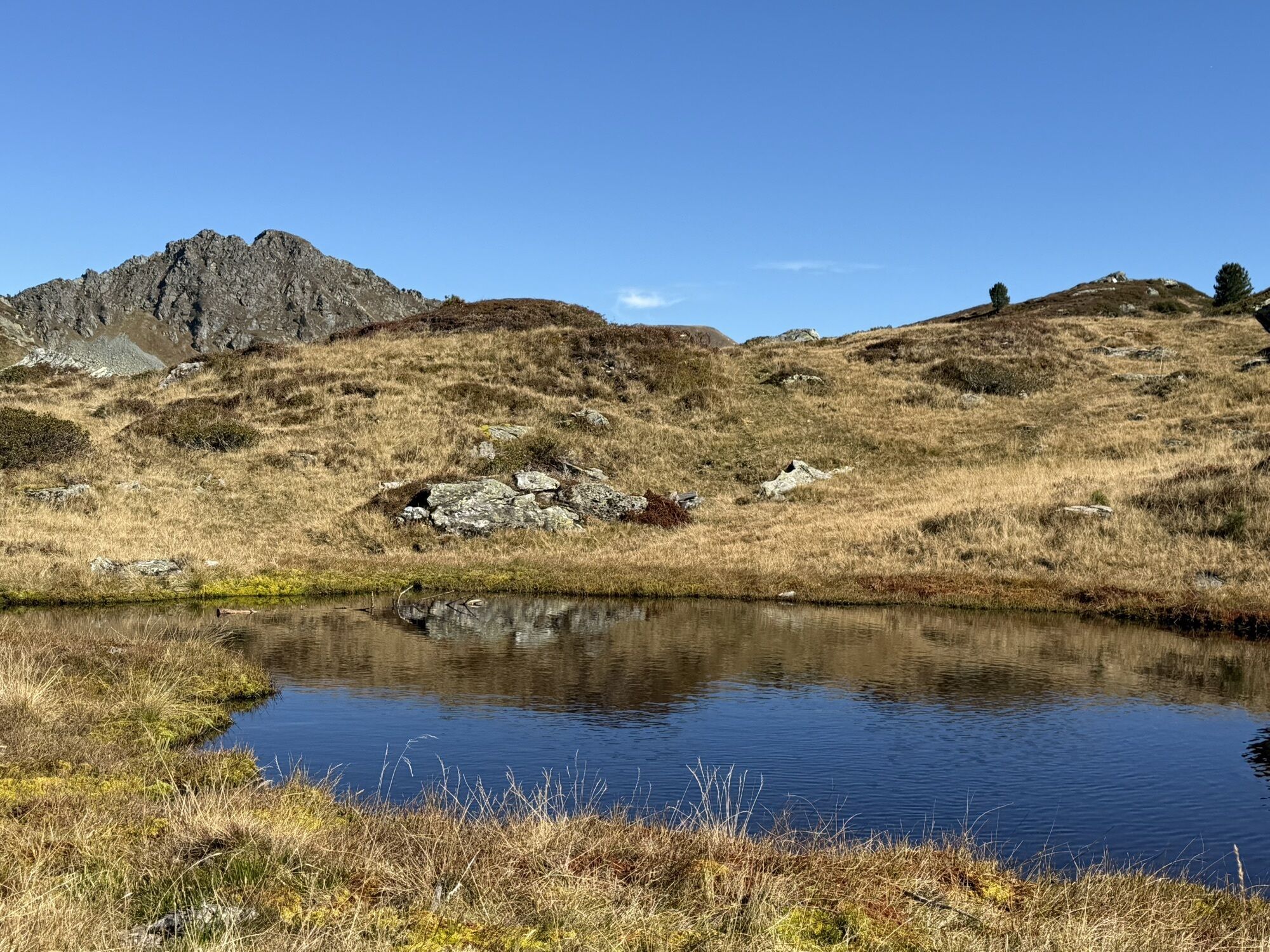
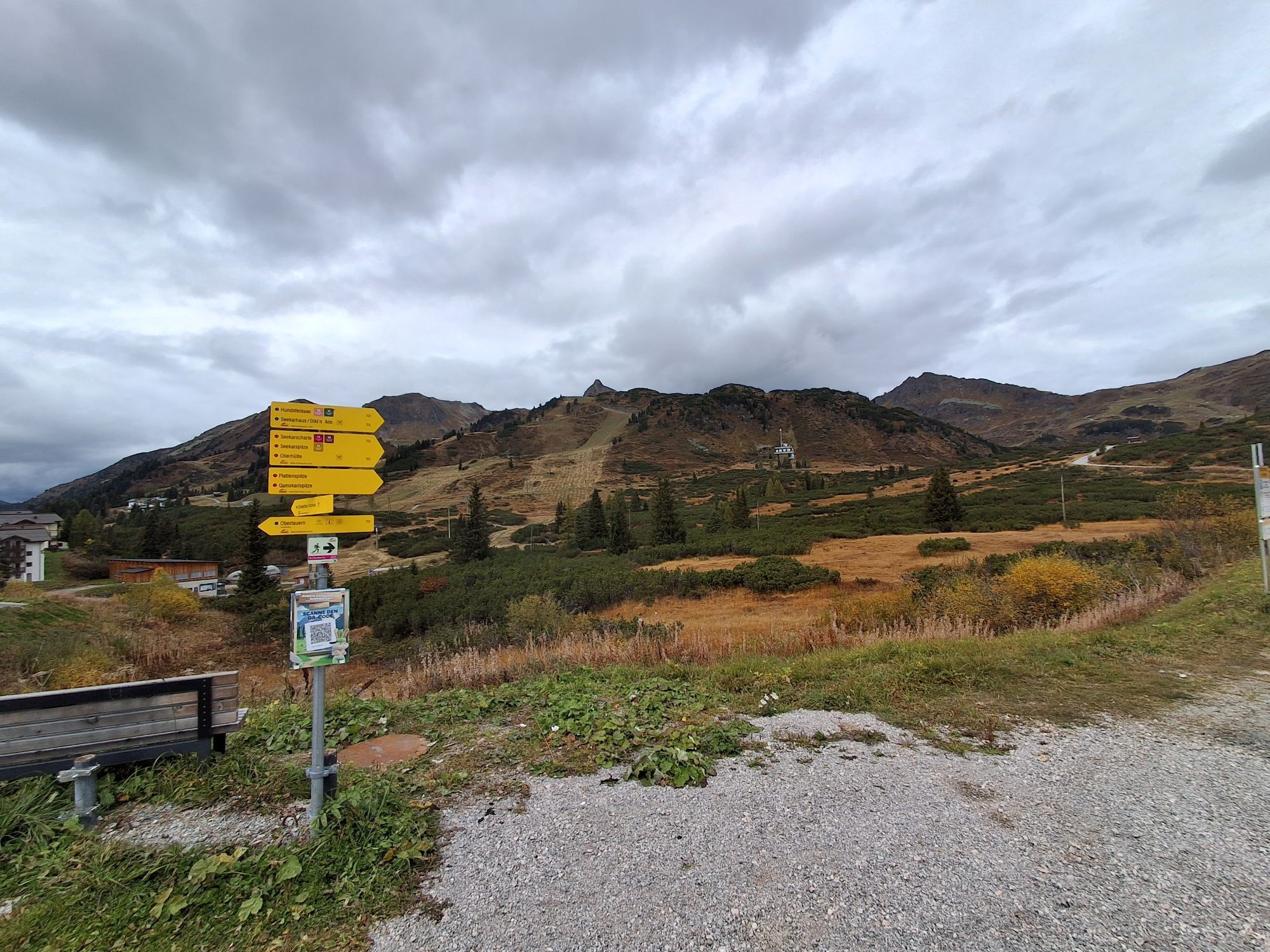
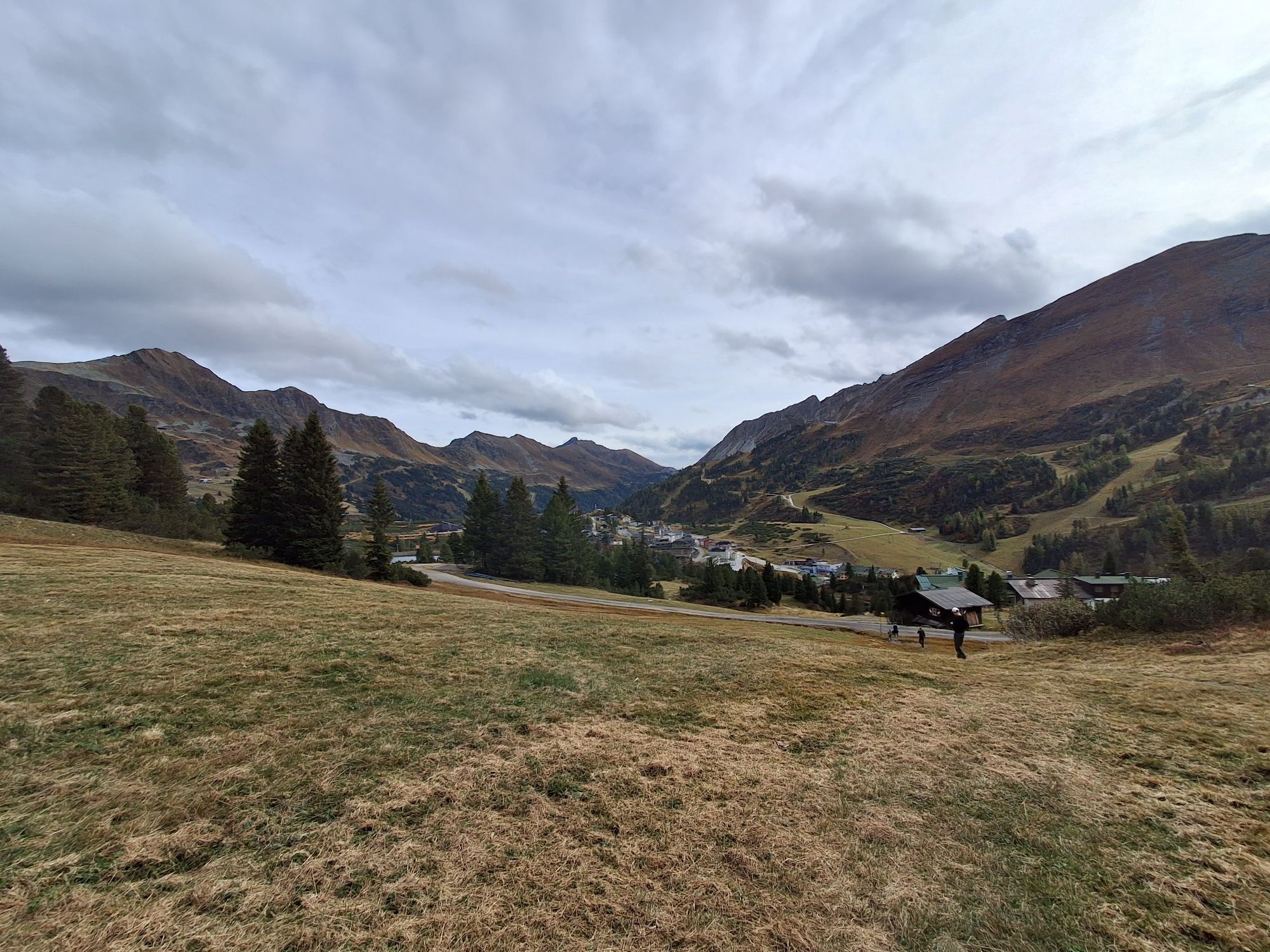
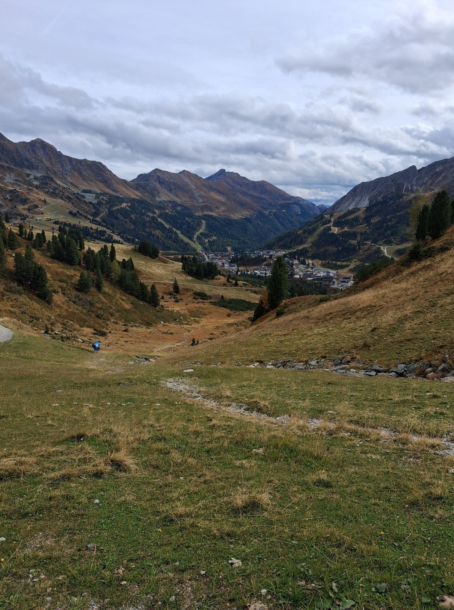
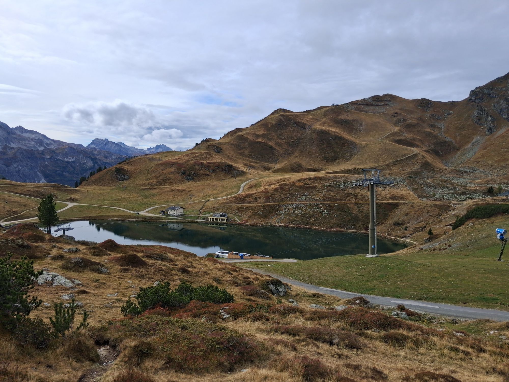
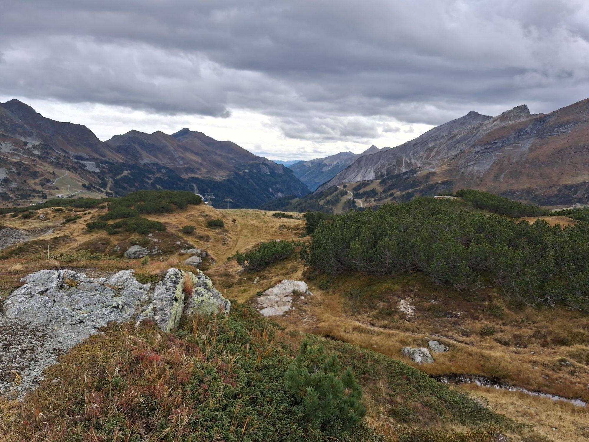
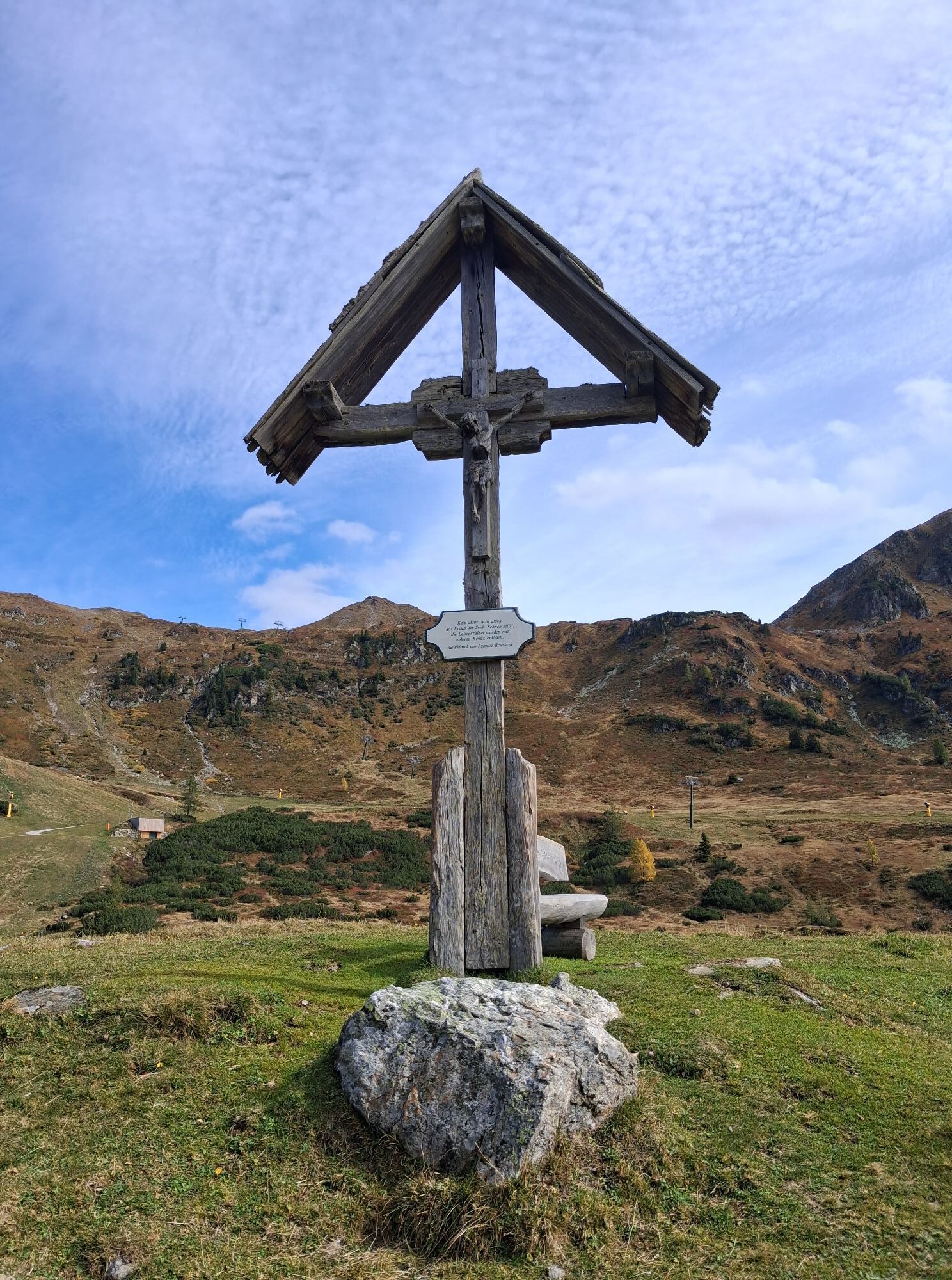
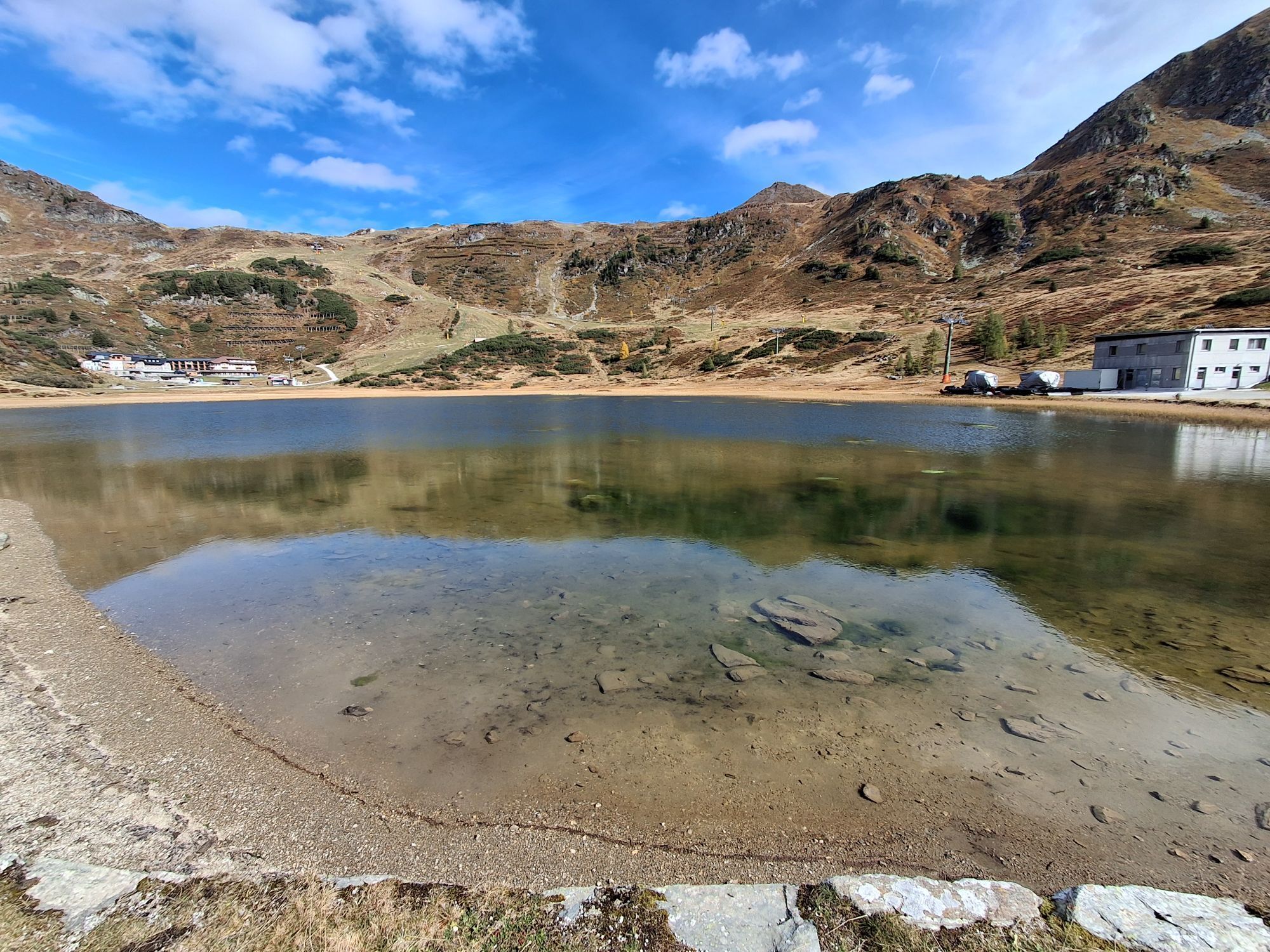
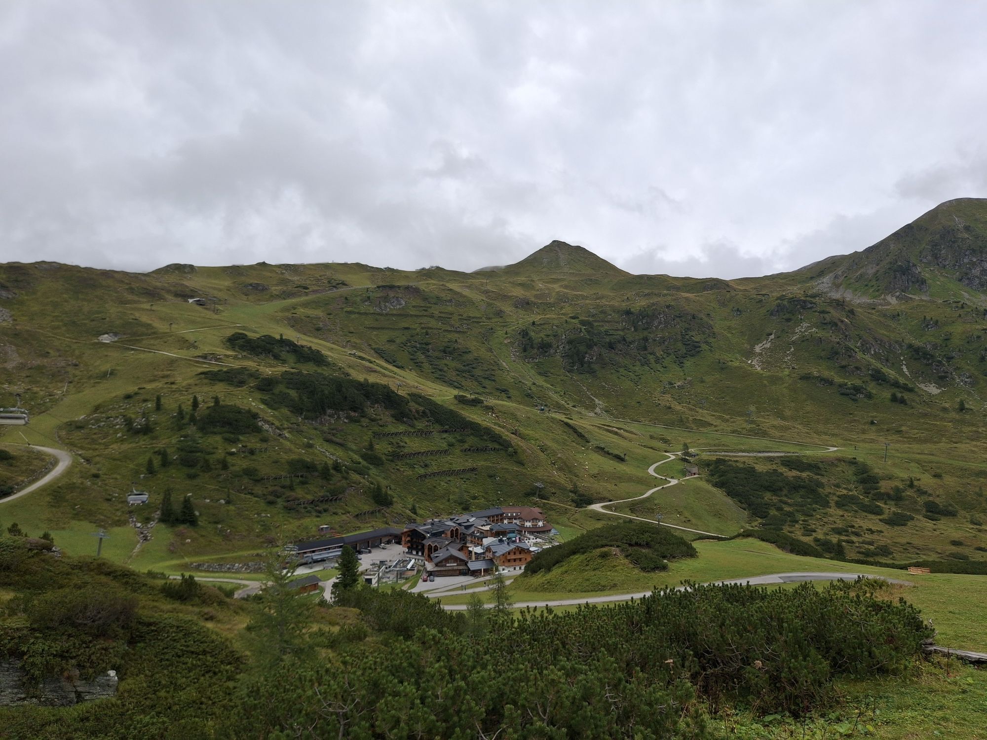
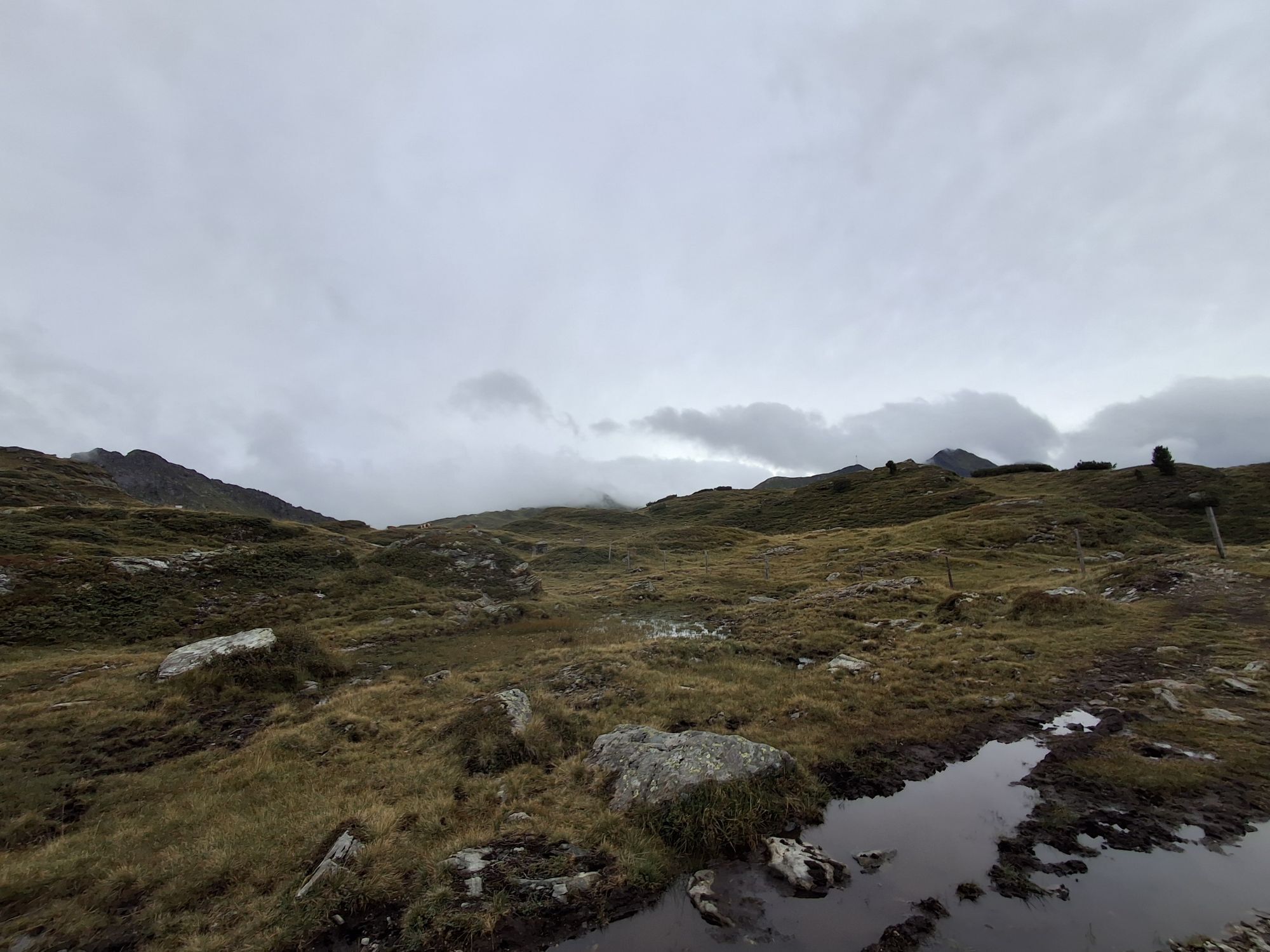
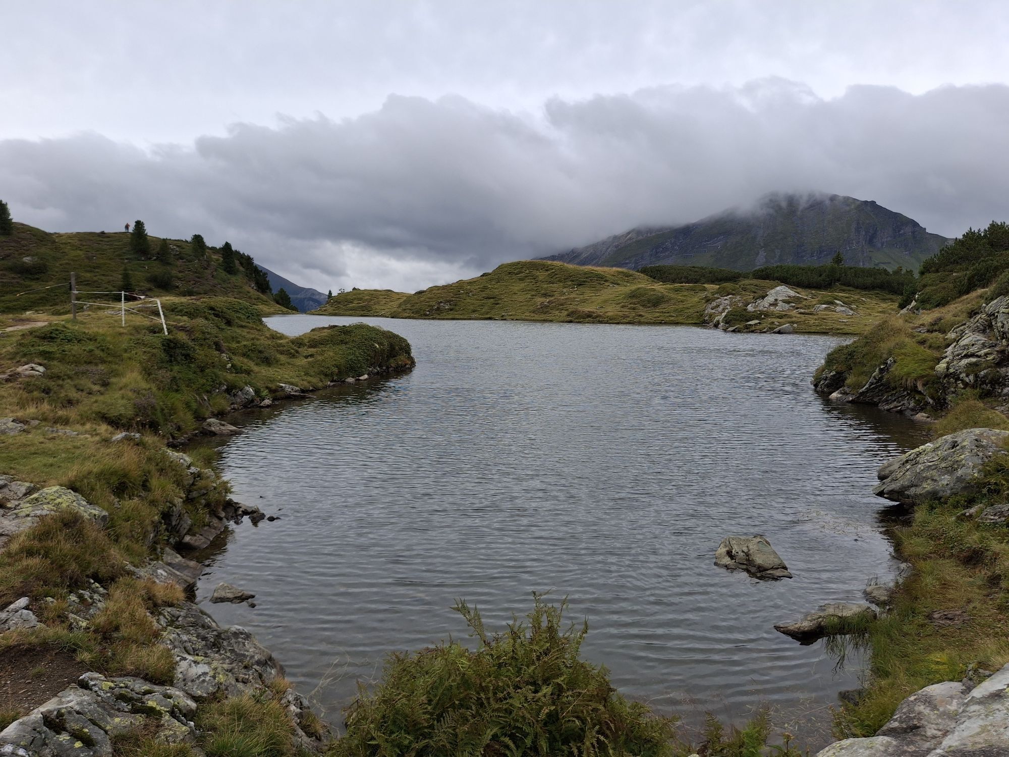
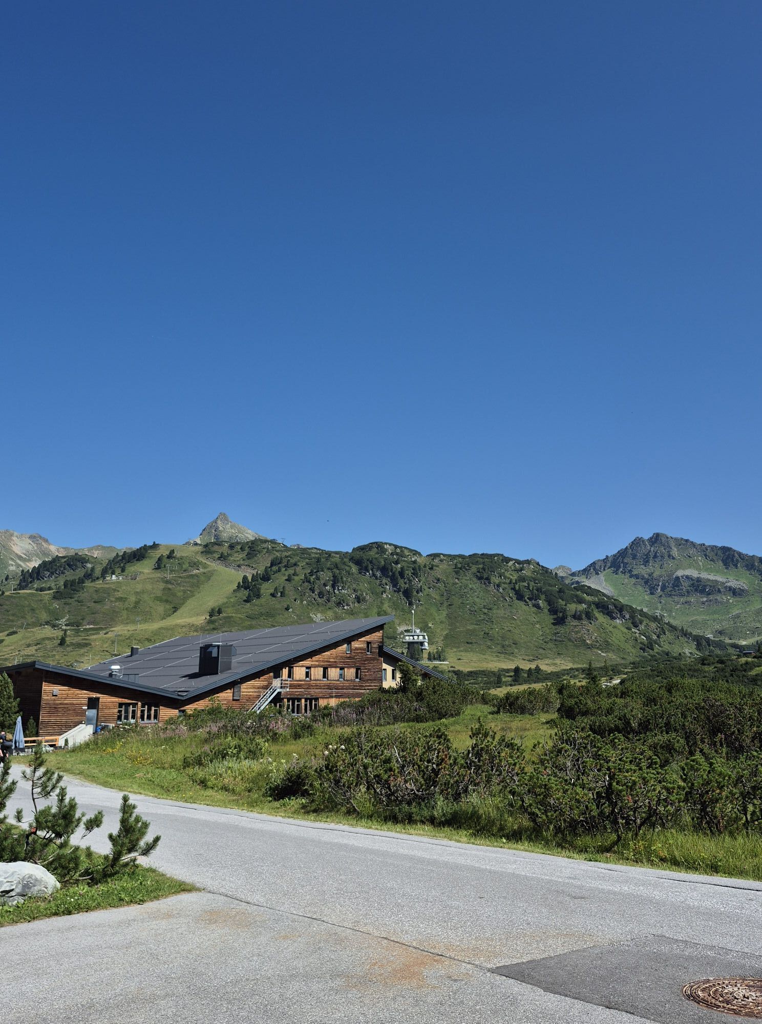
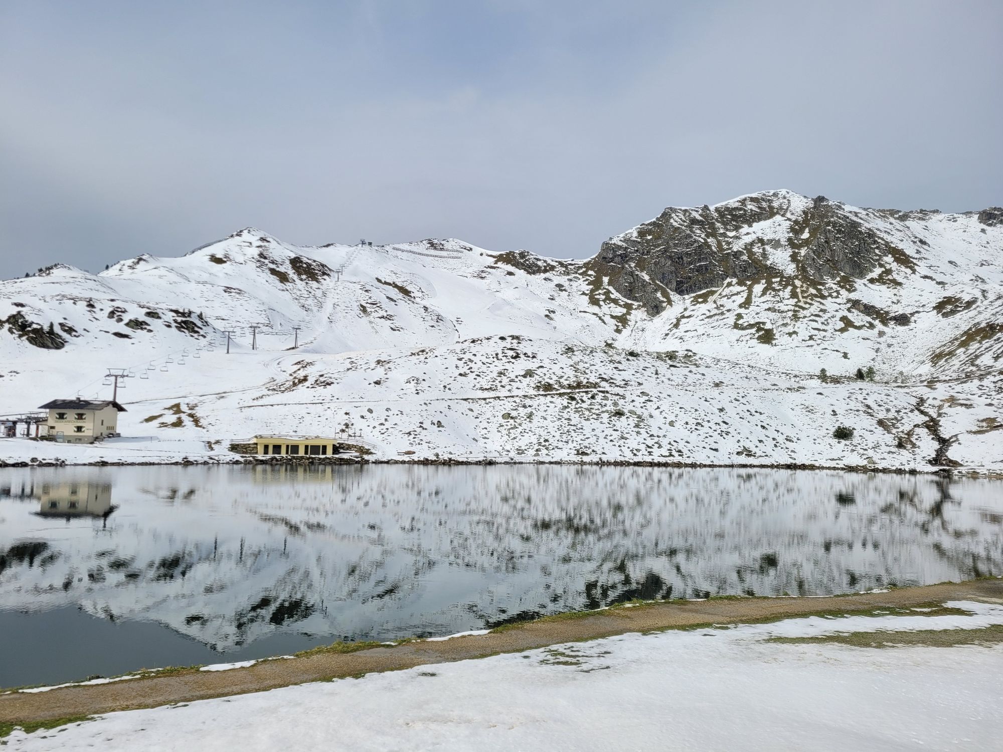
Family hike to the three most beautiful lakes






Áno
Our tips for the optimal equipment: good footwear, a comfortable backpack, weatherproof clothing in layers, sufficient sun protection, and enough to drink – that way you are well prepared for your hike.
ARRIVAL BY CAR
Arrive safely, quickly, and easily at your holiday destination. The hike is easily accessible via well-developed roads – and from all directions!
Access from the north
Motorway Munich - Salzburg - A10 Tauern Motorway - Radstadt exit, Exit 63 - B99 Katschberg Federal Road - Radstadt - Gnadenalm - Obertauern Pass
Access from the south
Villach - A10 Tauern Motorway - Toll station St. Michael exit, Exit 104 - Mauterndorf - Obertauern Pass
Access from the east
Vienna - A2 - S6 - Semmering - A9 Pyhrn Motorway - Liezen B320 - Radstadt or Judenburg - Murtal Federal Road - Murau - Tamsweg - Mauterndorf - Obertauern Pass
You can park for free at the Obertauern pass.
Summer cable cars in Obertauern
Walking times calculated according to Alpine Club specifications: DAV calculator
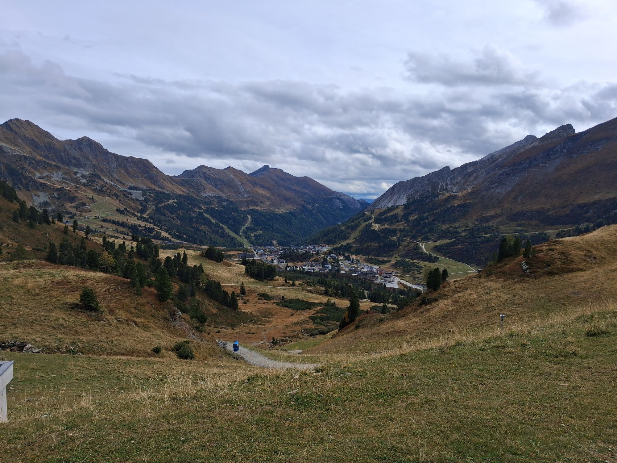
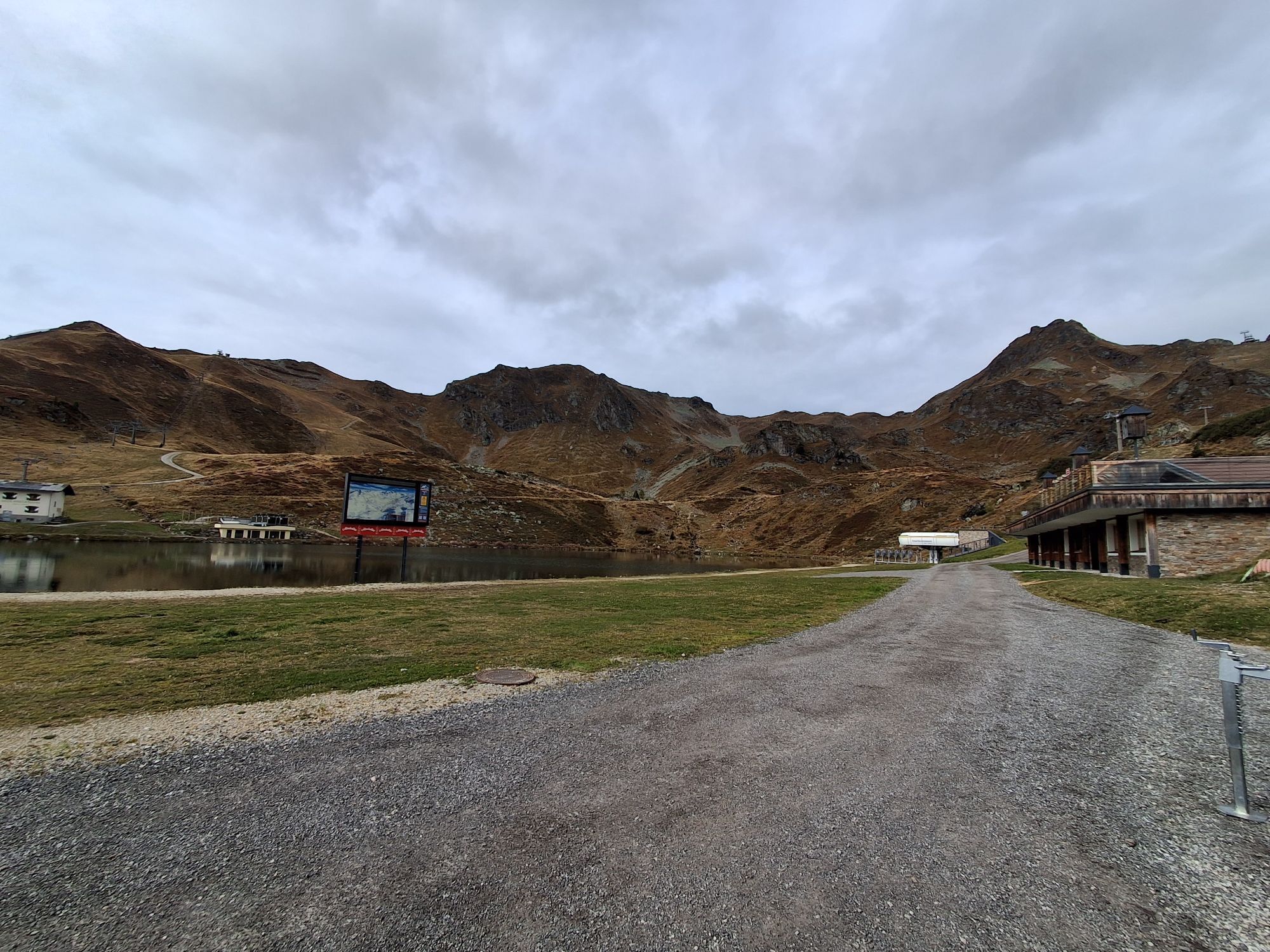
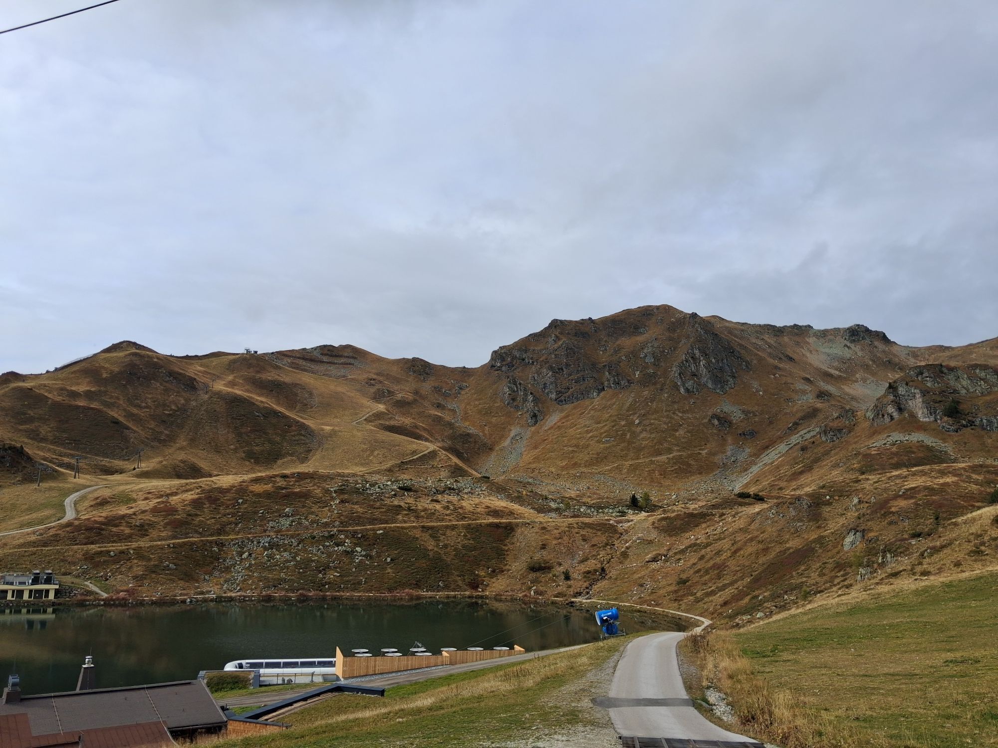
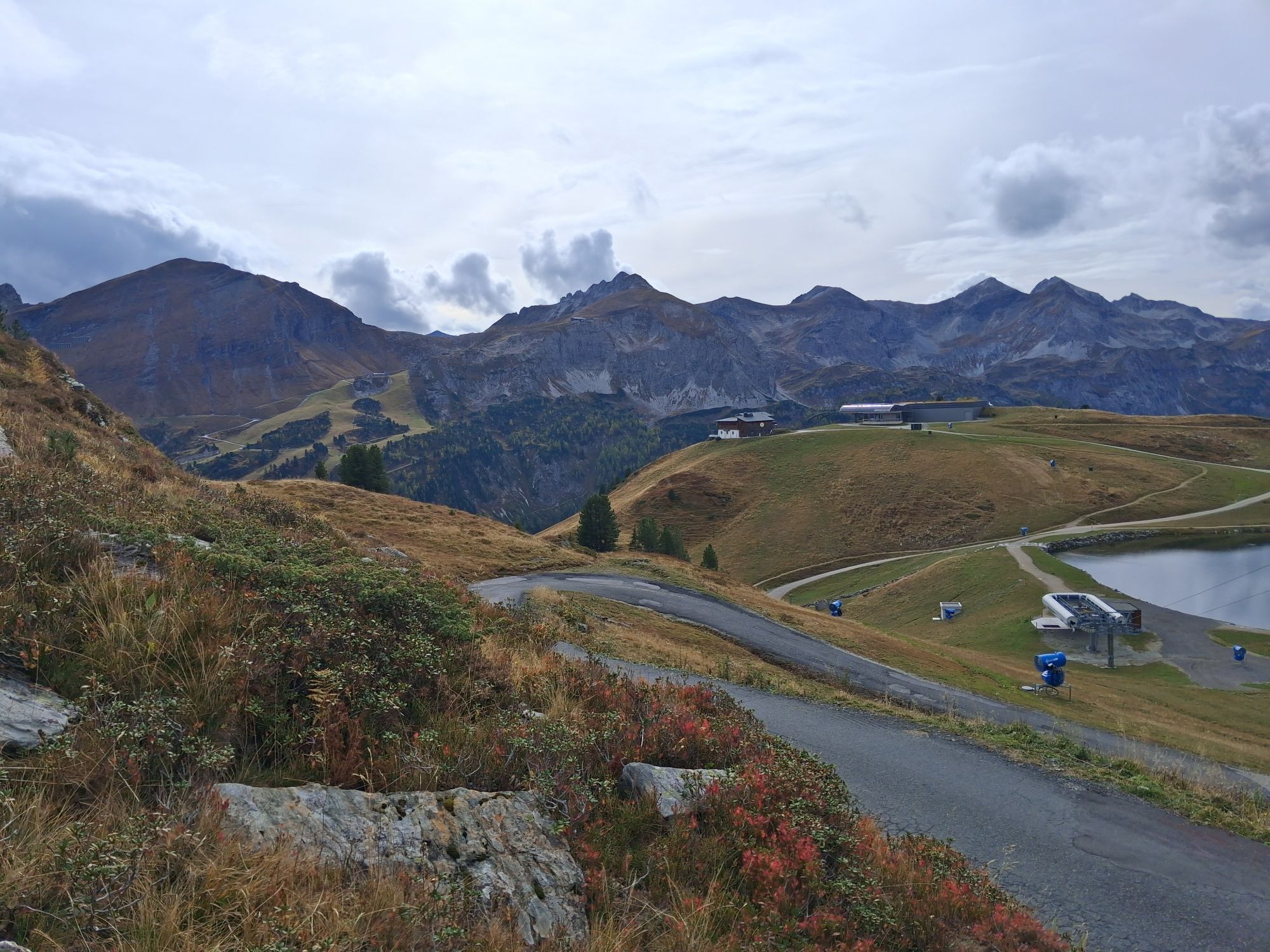
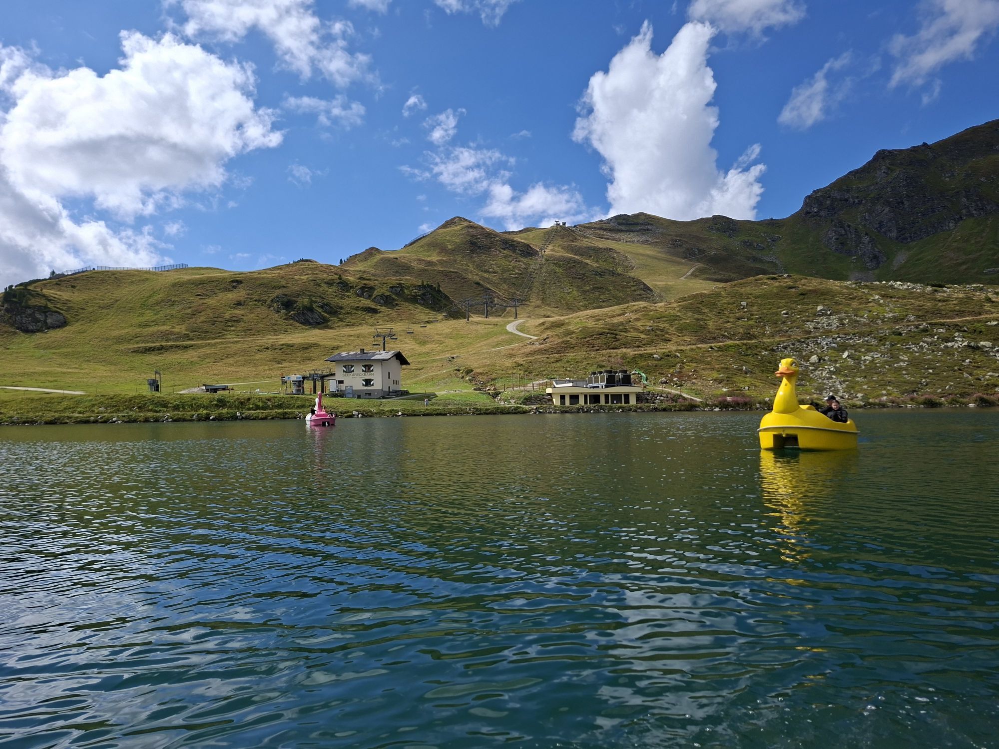
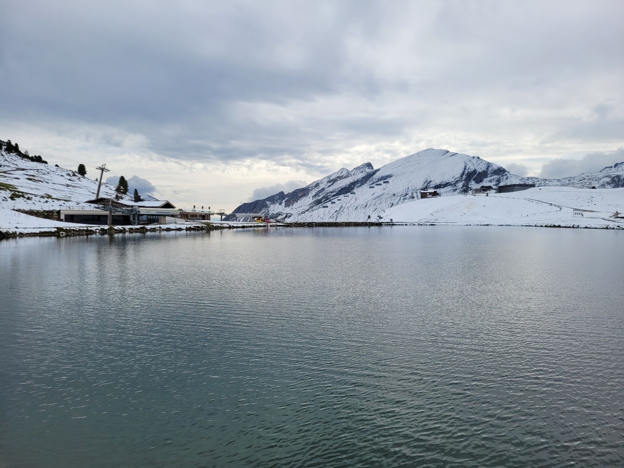
In high summer, you can swim in Krummschnablsee!



Webové kamery z prehliadky
-
Plattenkar
-
Gnadenalm
-
Grünwaldkopf
-
Zehnerkar
-
Seekar
-
Sporthotel Snowwhite
-
Hotel Cinderella
-
Sonnenterasse Edelweissalm
-
Hotel Garni Gloria
-
Lürzeralm
-
Hotel Kesselspitze
-
Hotel Schneider
-
Breitlehenalm
-
Gamsleiten
-
Hochalmkopf
-
Obertauern - Haus Petergstamm
-
Seekarhaus - Obertauern
-
Seekarhaus - Bergstation Seekarspitzbahn
-
Seekarhaus 3
-
Zehnerkar
-
Obertauern - Hundskogel
-
Obertauern - Gamsleiten
-
Gamsleiten

Aktivity počas prehliadky
-

Obertauern, Salzburg/Österreich
13.10.2026 – Turistika -
Obertauern, Salzburg/Österreich
10.10.2026 – Turistika -
Obertauern, Salzburg/Österreich
04.09.2026 – Turistika -

Untertauern, Salzburg/Österreich
27.08.2026 – Turistika -
Obertauern, Salzburg/Österreich
06.08.2026 – Turistika -

Obertauern, Salzburg/Österreich
02.08.2026 – Turistika -

Obertauern, Salzburg/Österreich
17.06.2026 – Turistika
Obľúbené výlety v okolí
-
4,4
Landawirseehütte (1.985 m)
strednáTuristika 5,39 km -
5,0
Strimskogel-Runde
Turistika 13 km -
4,8
Rundwanderweg von der Fallhausalm und Vögeialm übers Klamml zur Oberhütte am See
strednáTuristika 10 km -
4,9
4-Gipfel-Tour
strednáHorská turistika 6,40 km -
4,8
Obertauern to the Johannes Waterfall
strednáTuristika 9,39 km -
4,8
Steirische und Lungauer Kalkspitze über das Kranzl
ťažkéTuristika 11,2 km -
4,6
Ski route Lackenkogel
strednáSkitour 7,82 km -
4,9
Twengsee
strednáTuristika 9,66 km -
4,4
Ennskraxn (2410m)
ťažkéTuristika 14,7 km -
3,7
Glöcknerin
strednáTuristika 9,87 km
Turistika a stopovanie


Nenechajte si ujsť ponuky a inšpiráciu na ďalšiu dovolenku
Vaša e-mailová adresa bol pridaný do poštového zoznamu.


