







Hohe Tauern Panorama Trail | entire trail

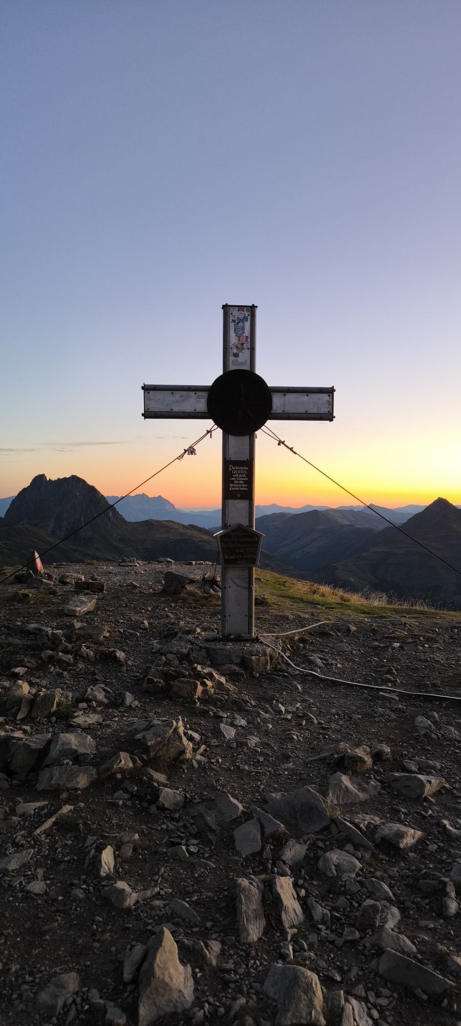
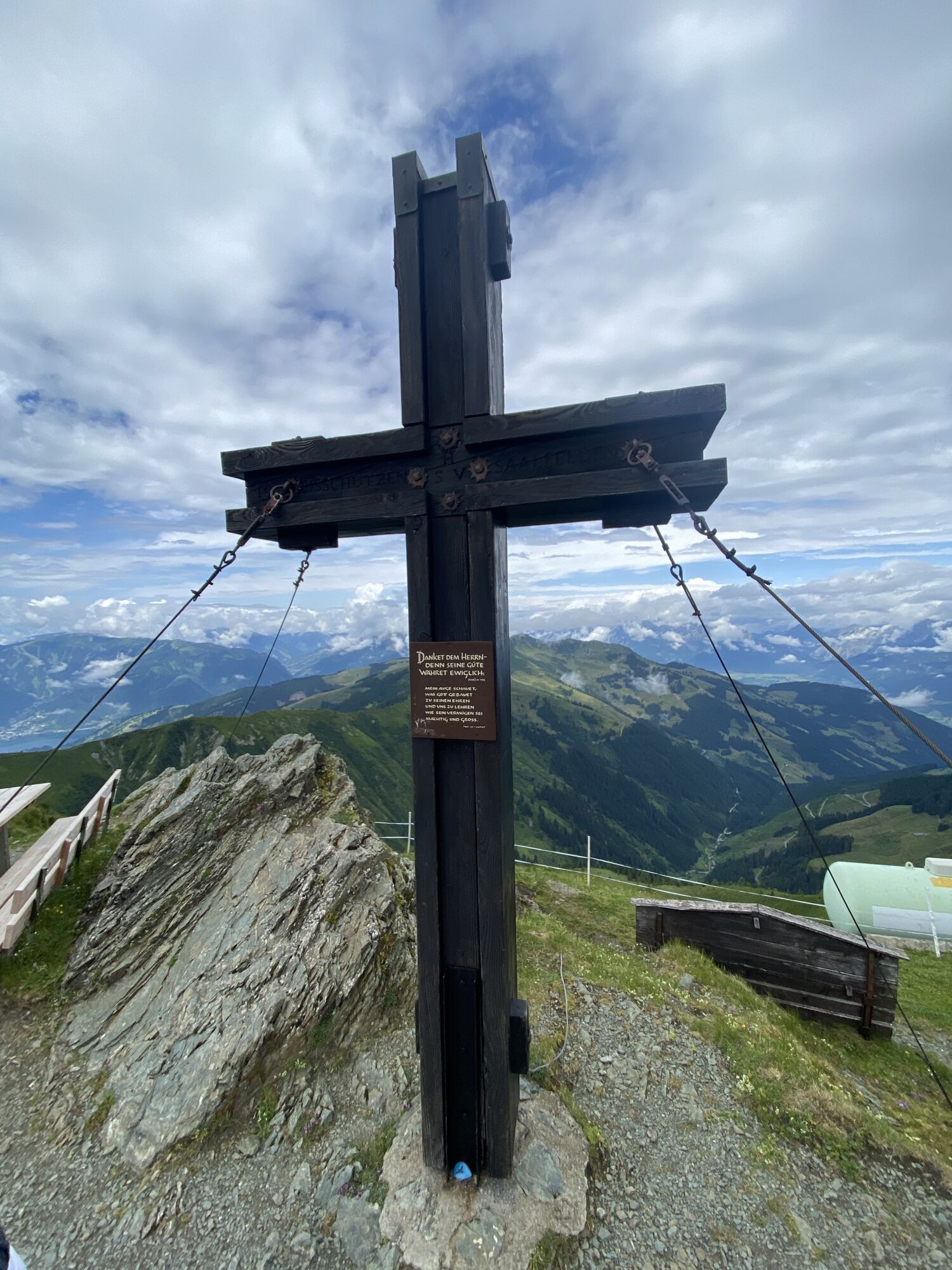
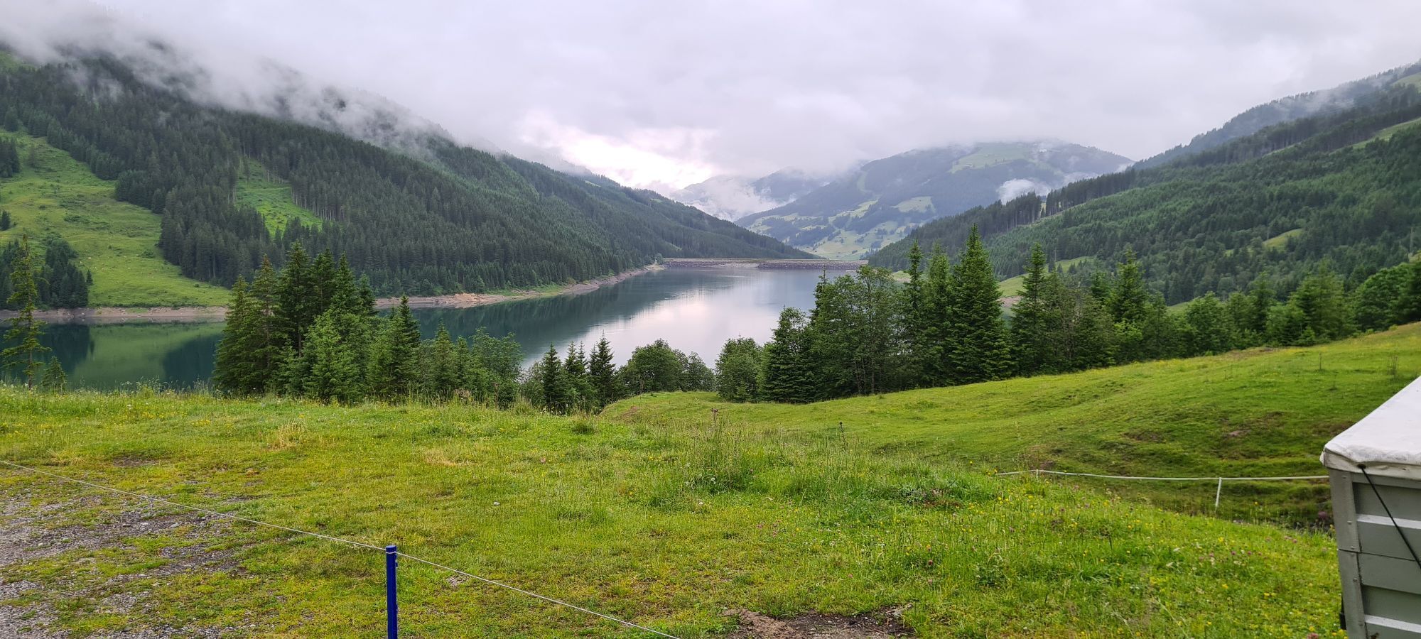
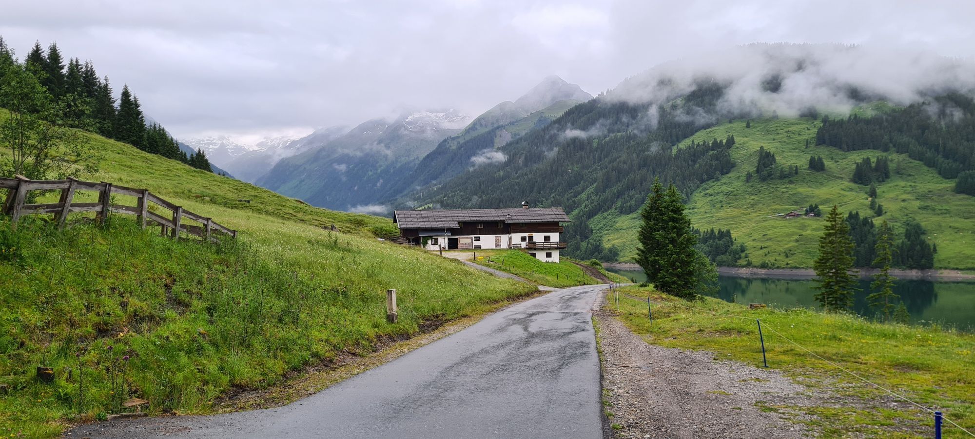
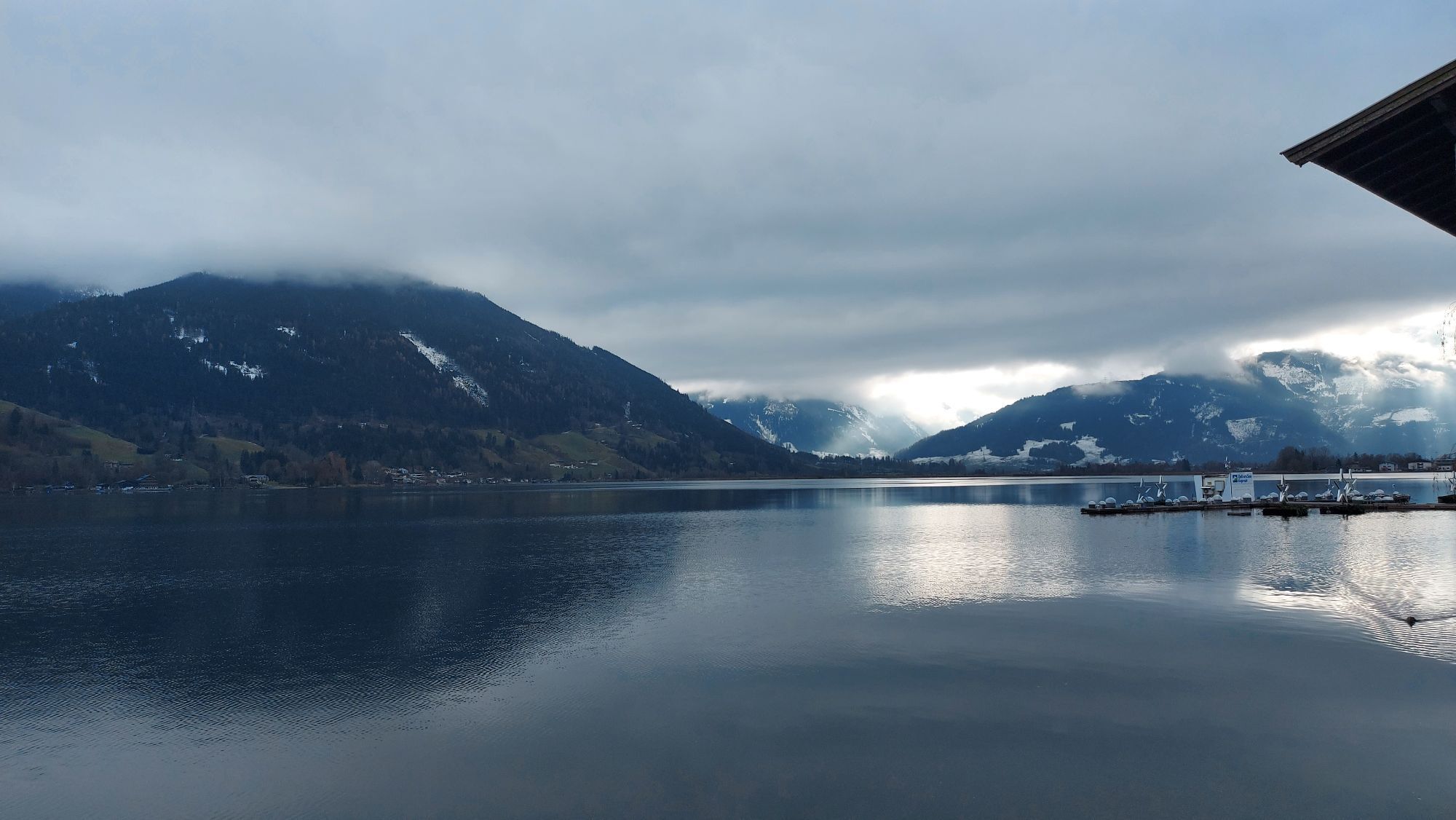
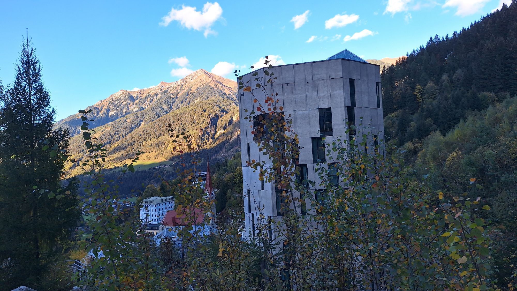
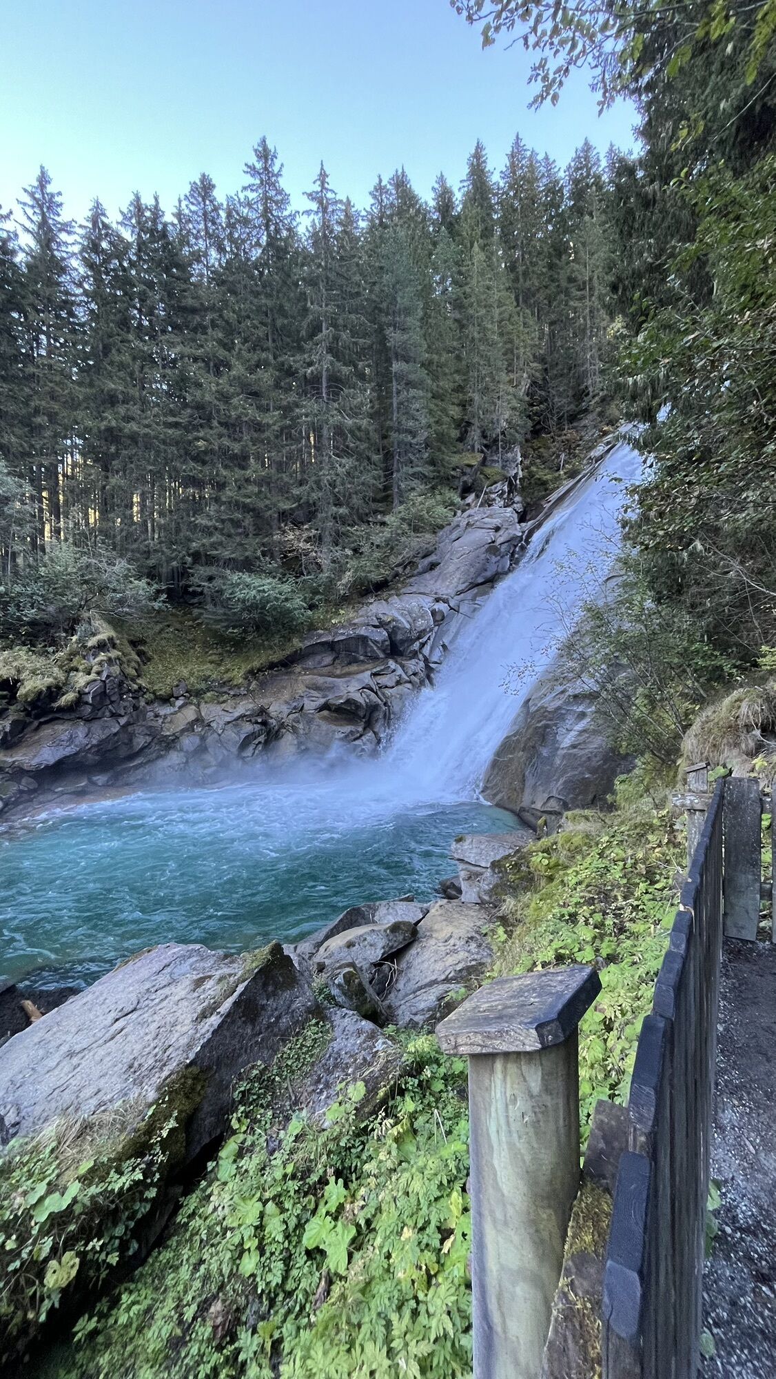
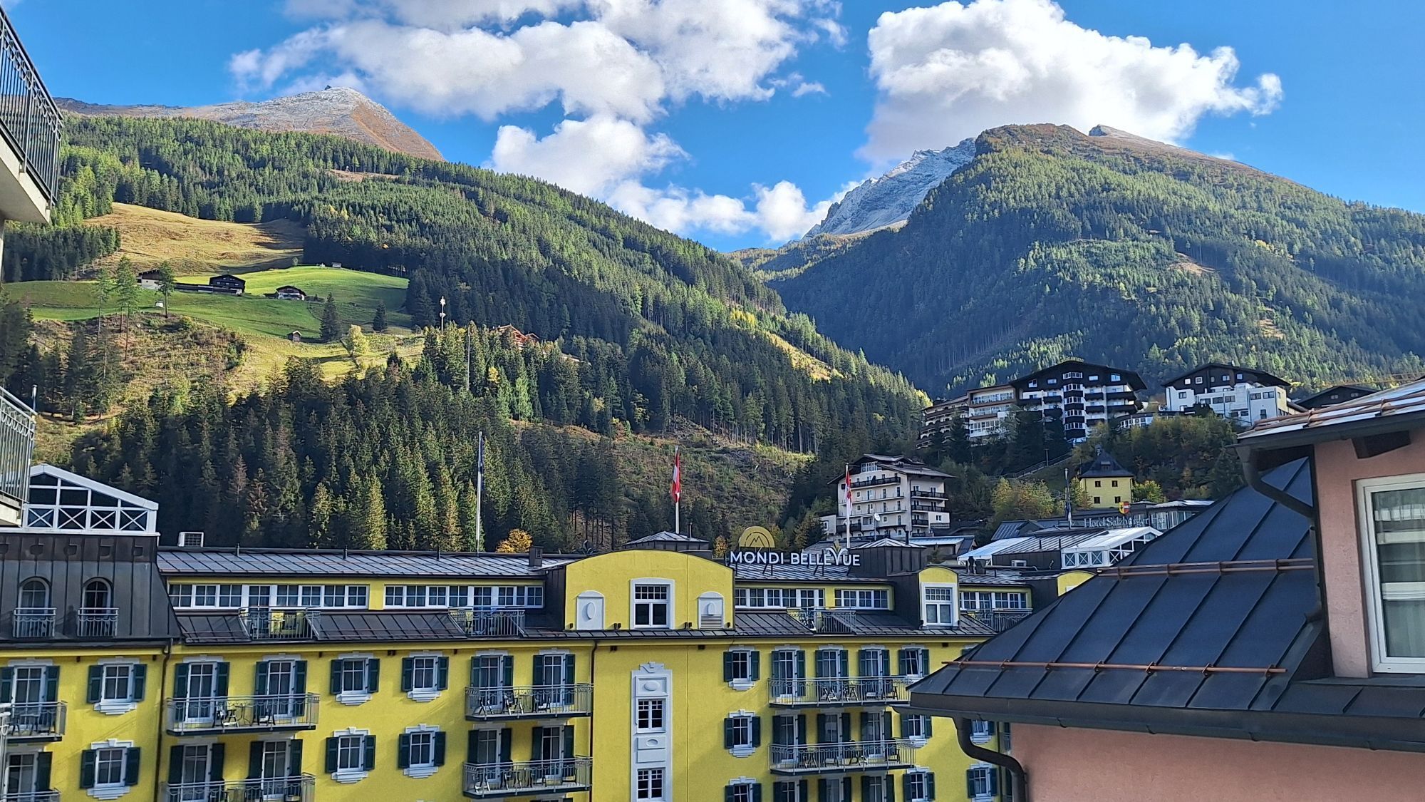
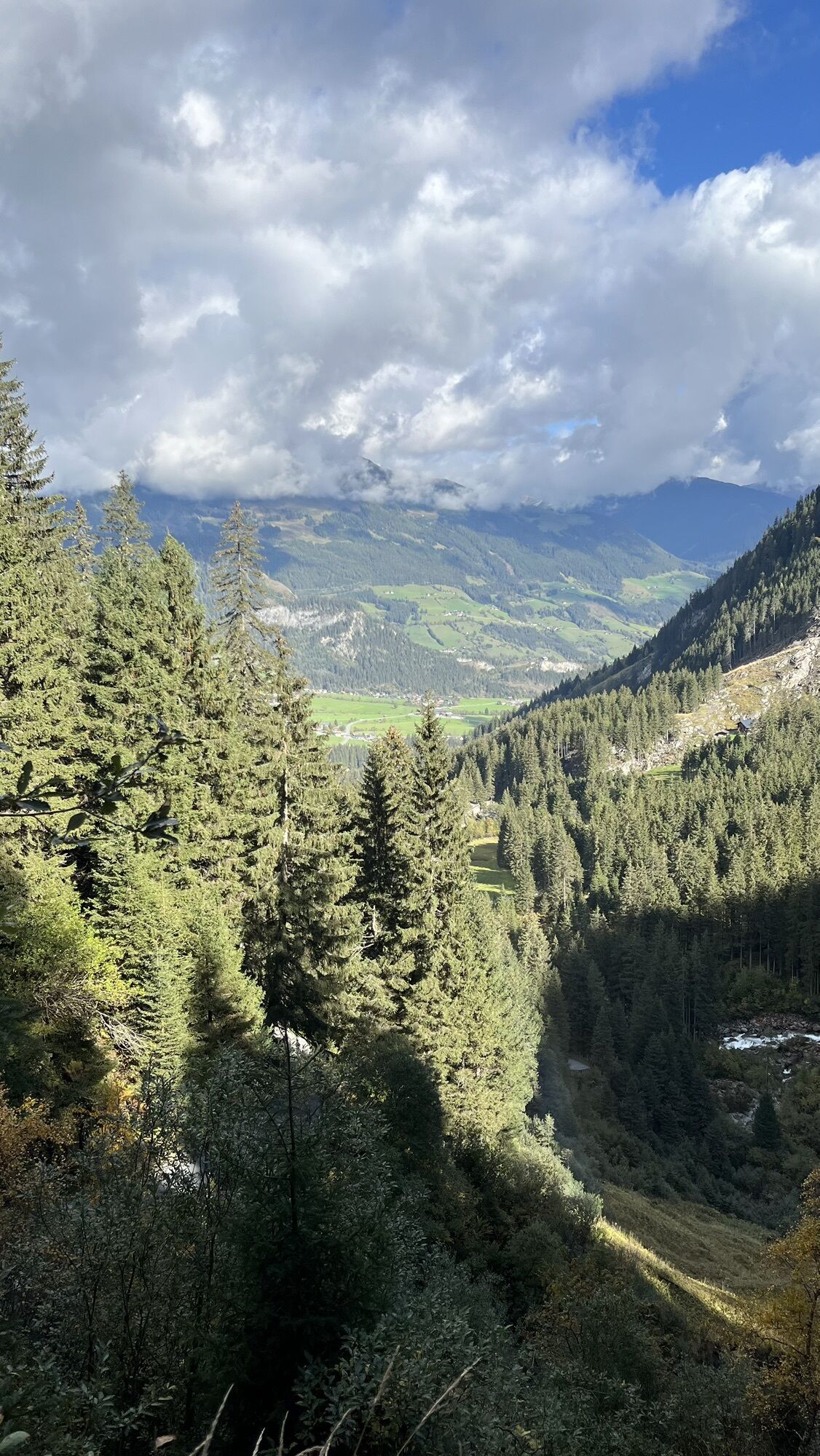
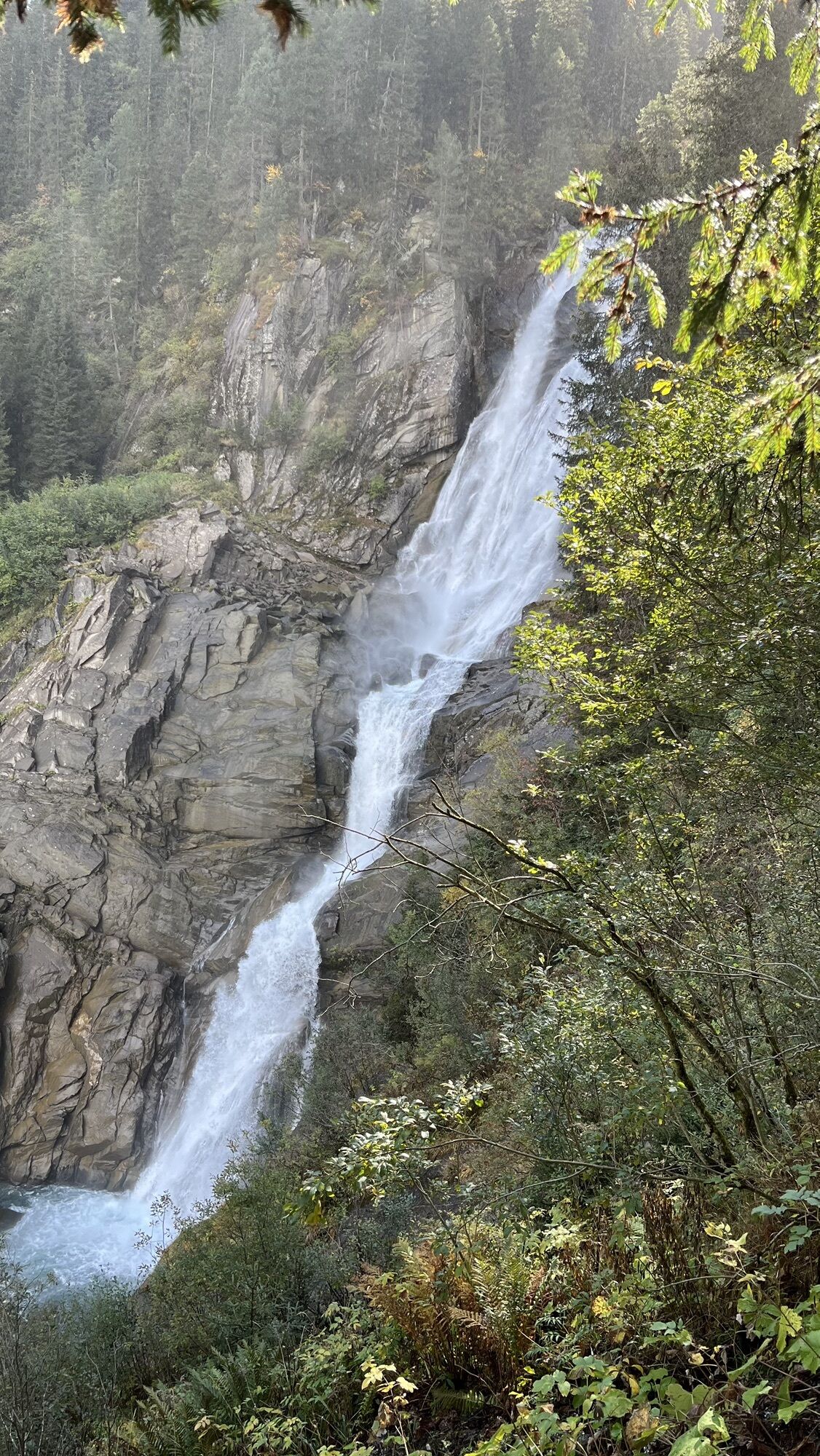
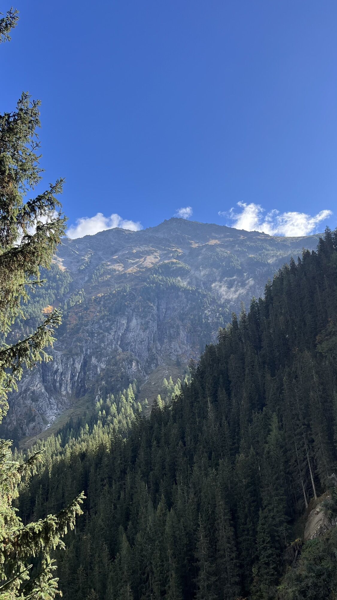
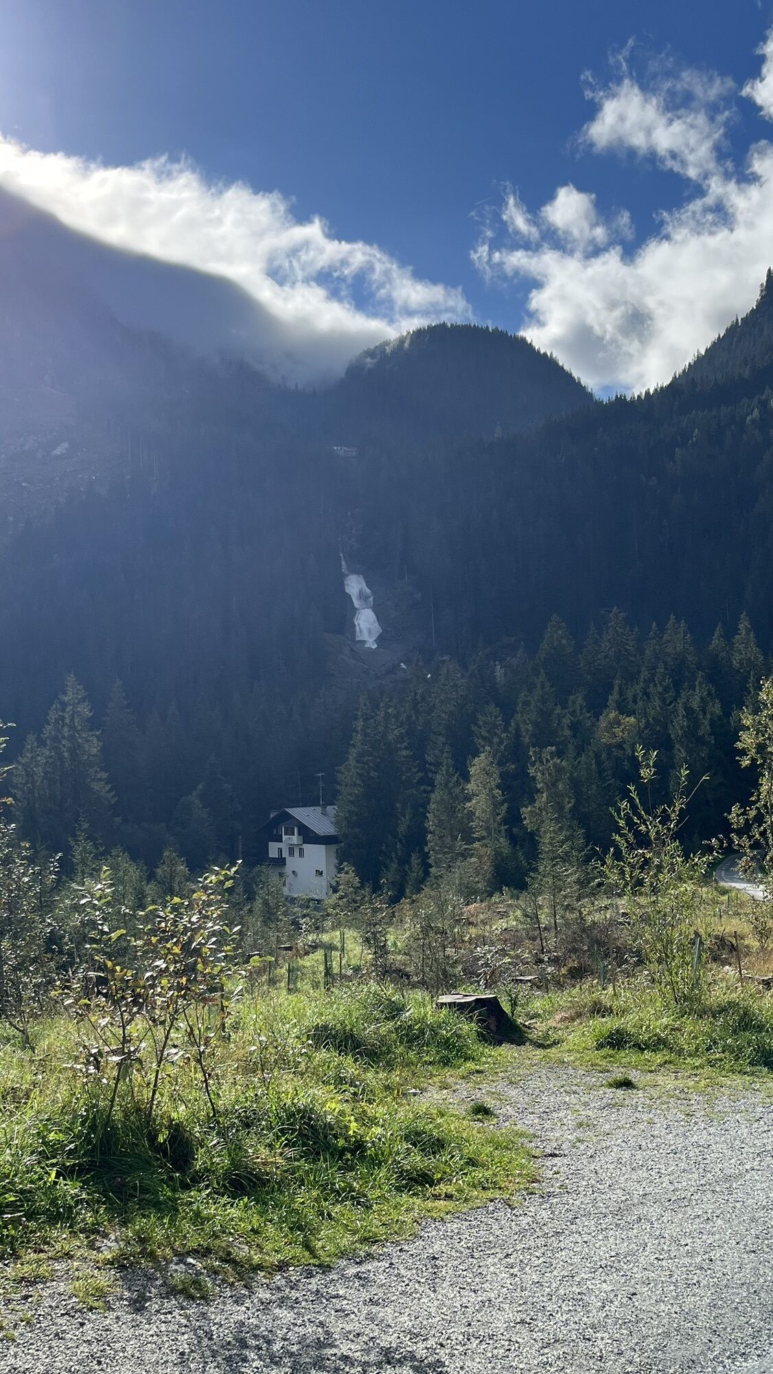
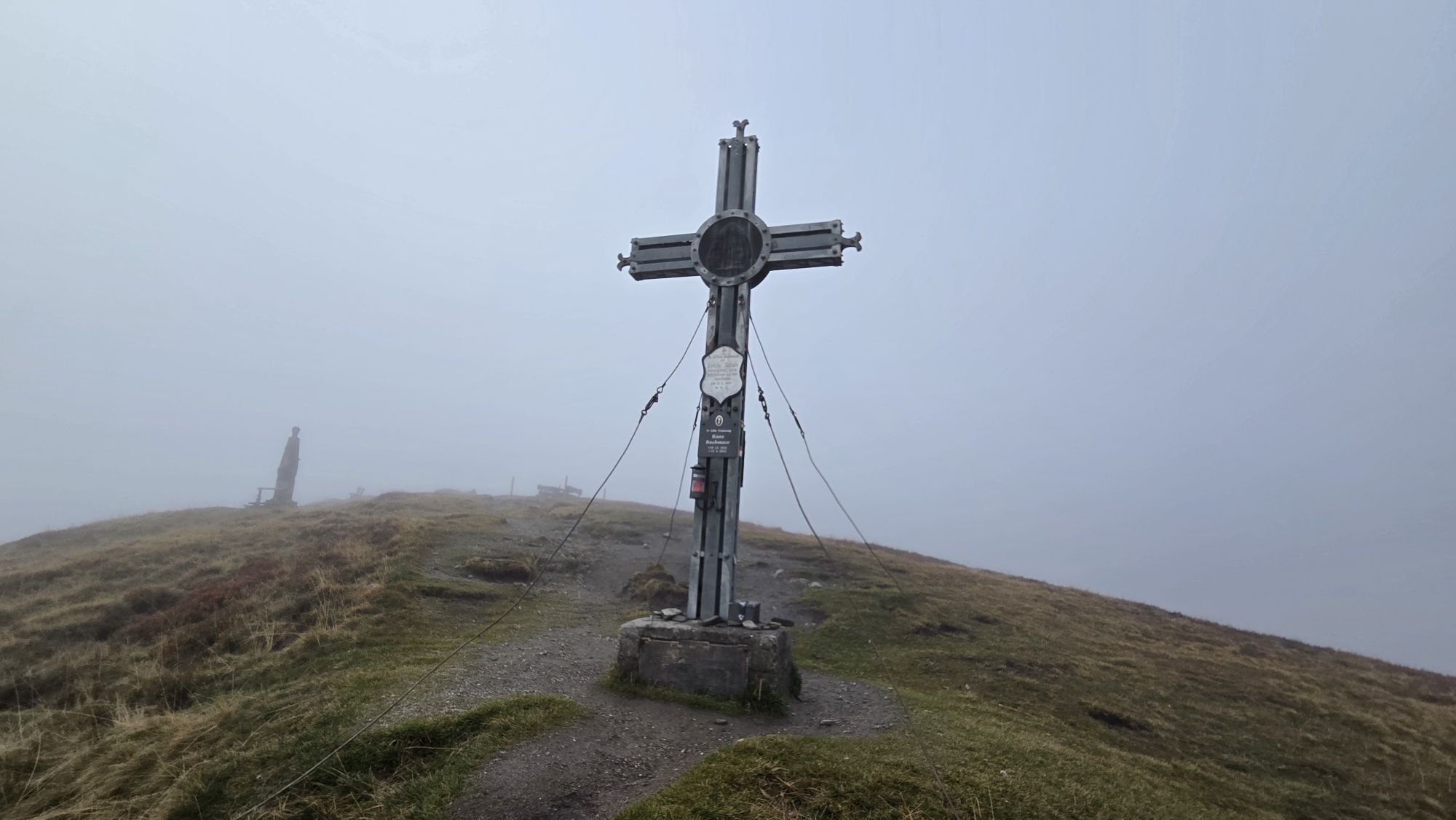
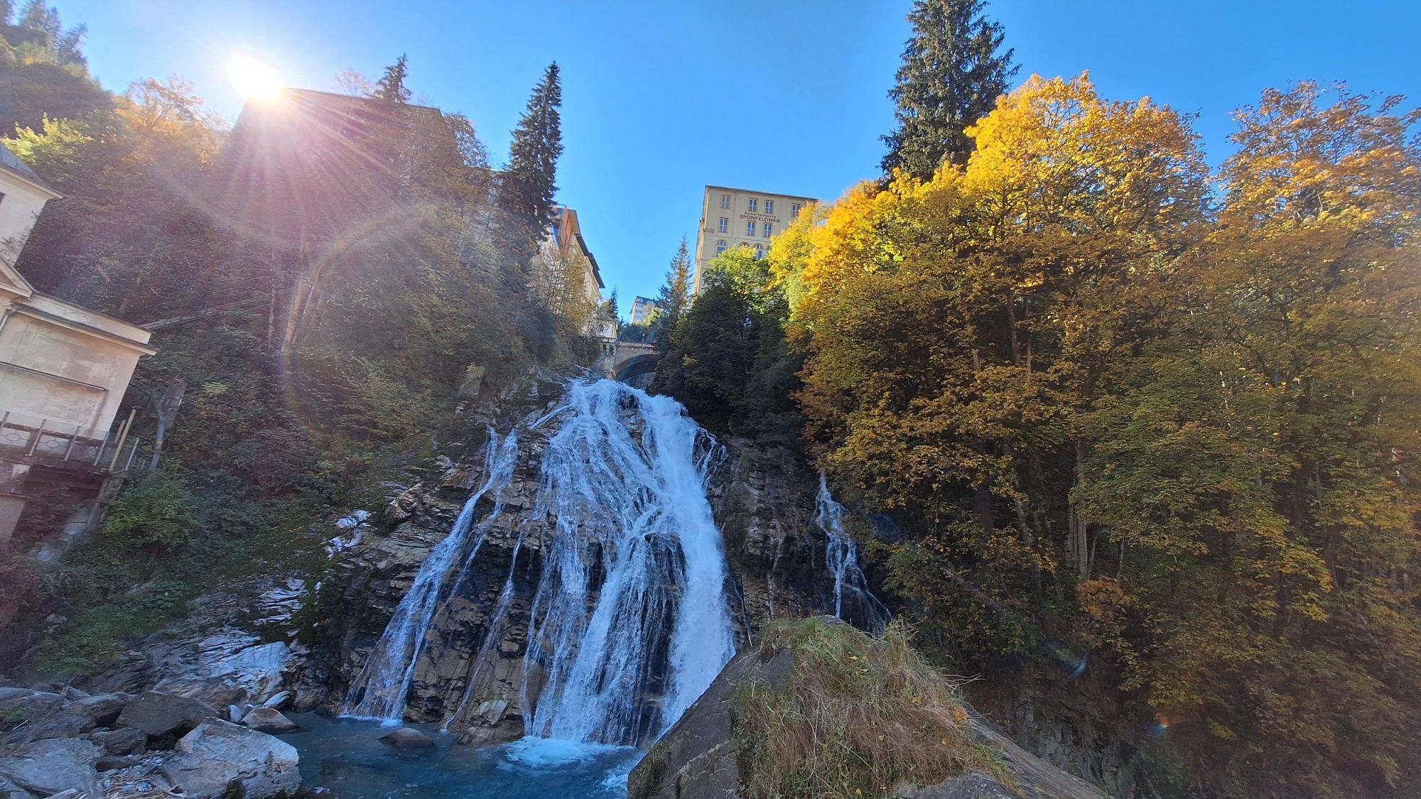
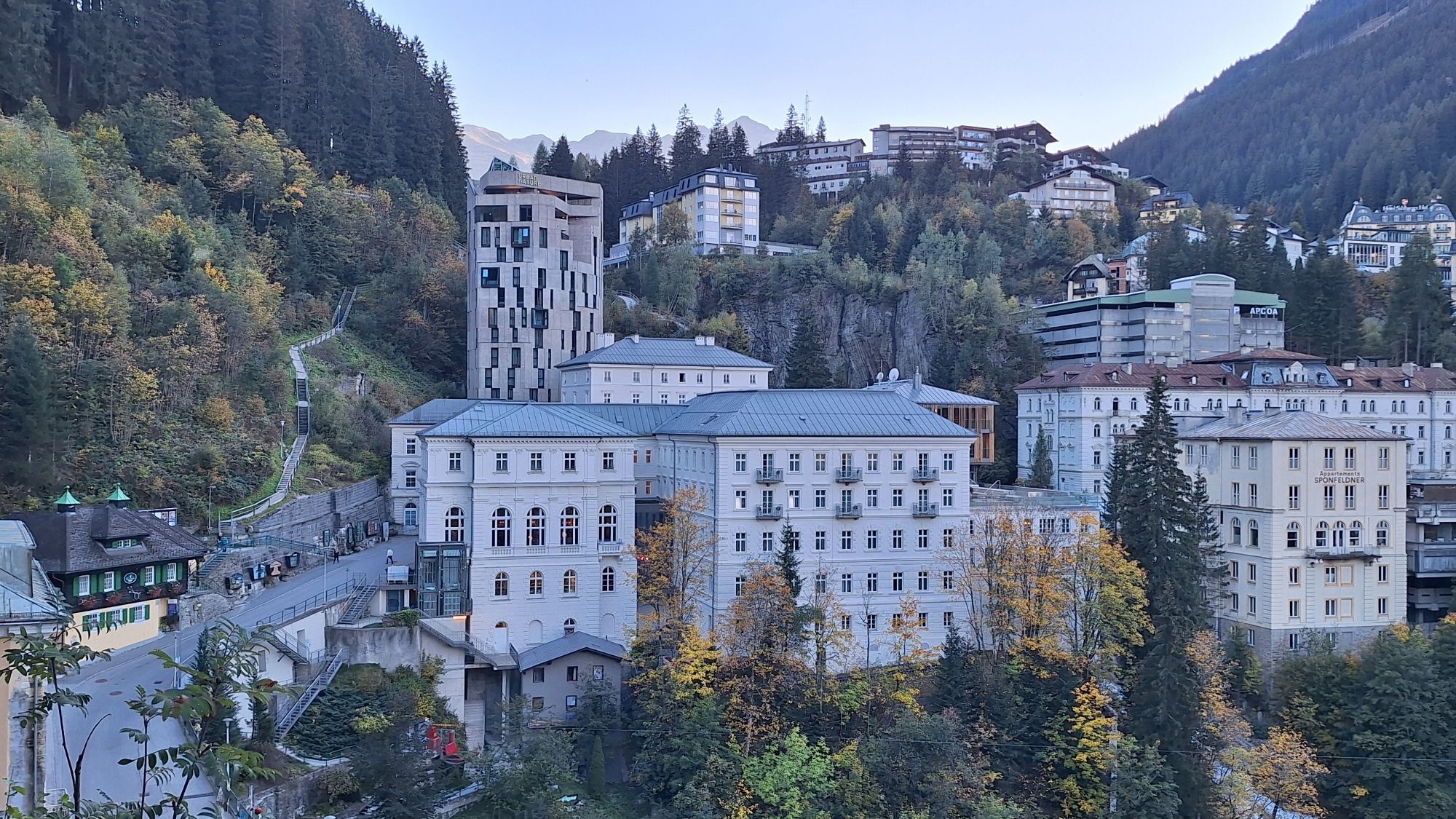
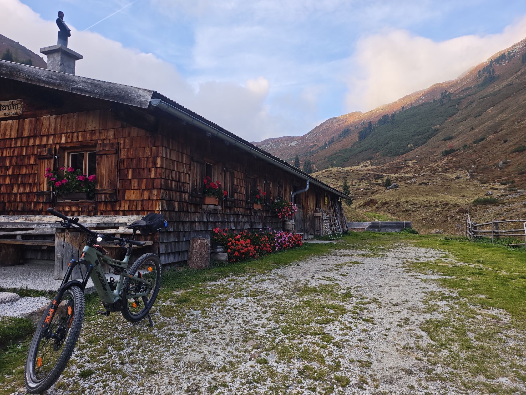
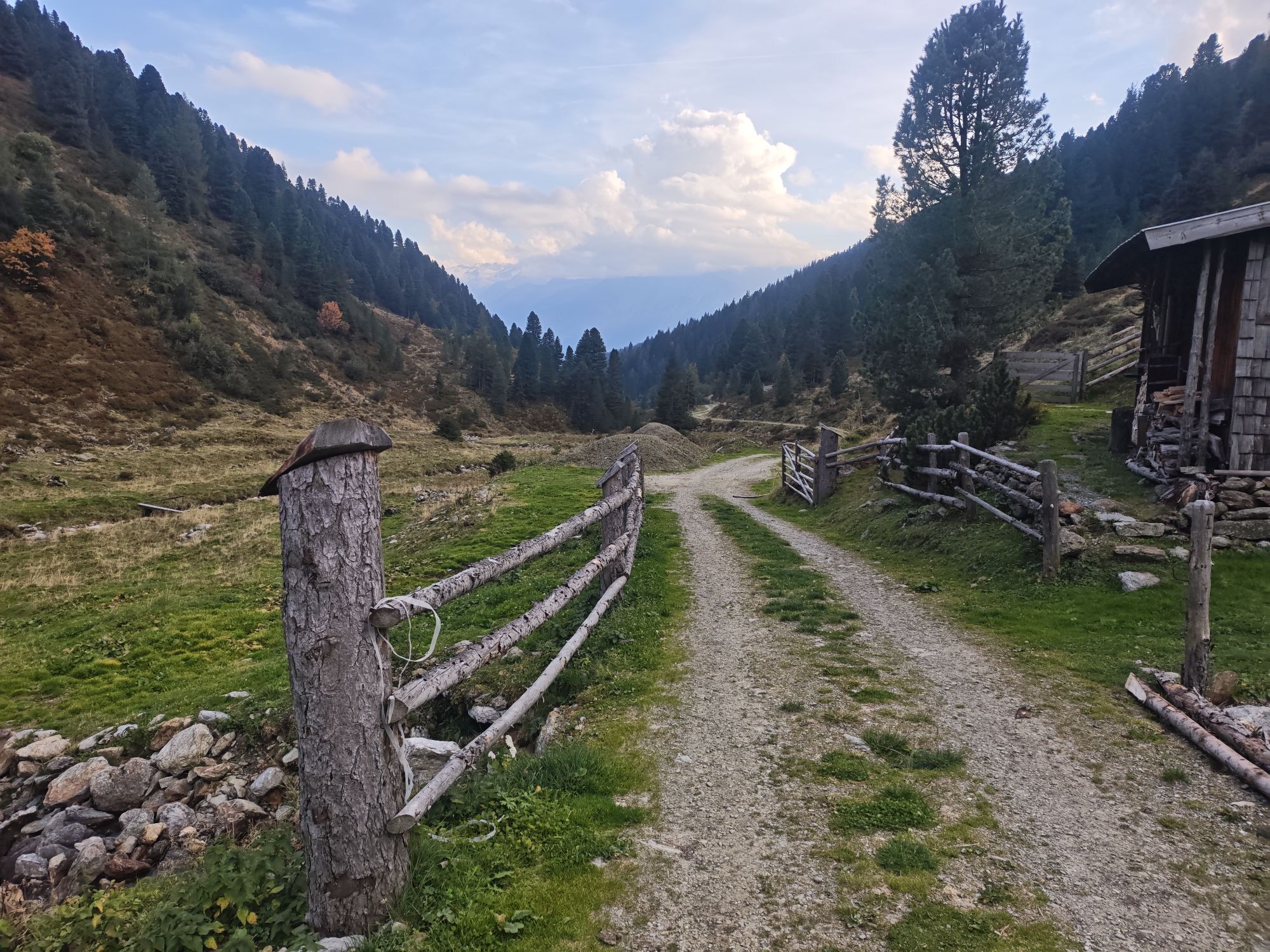
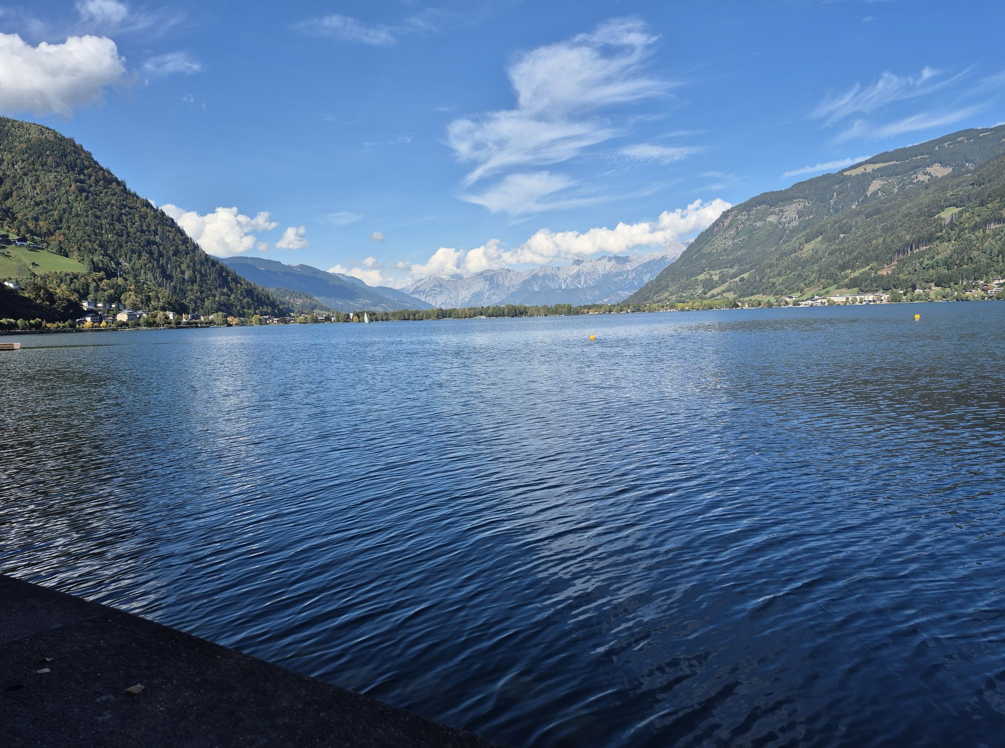
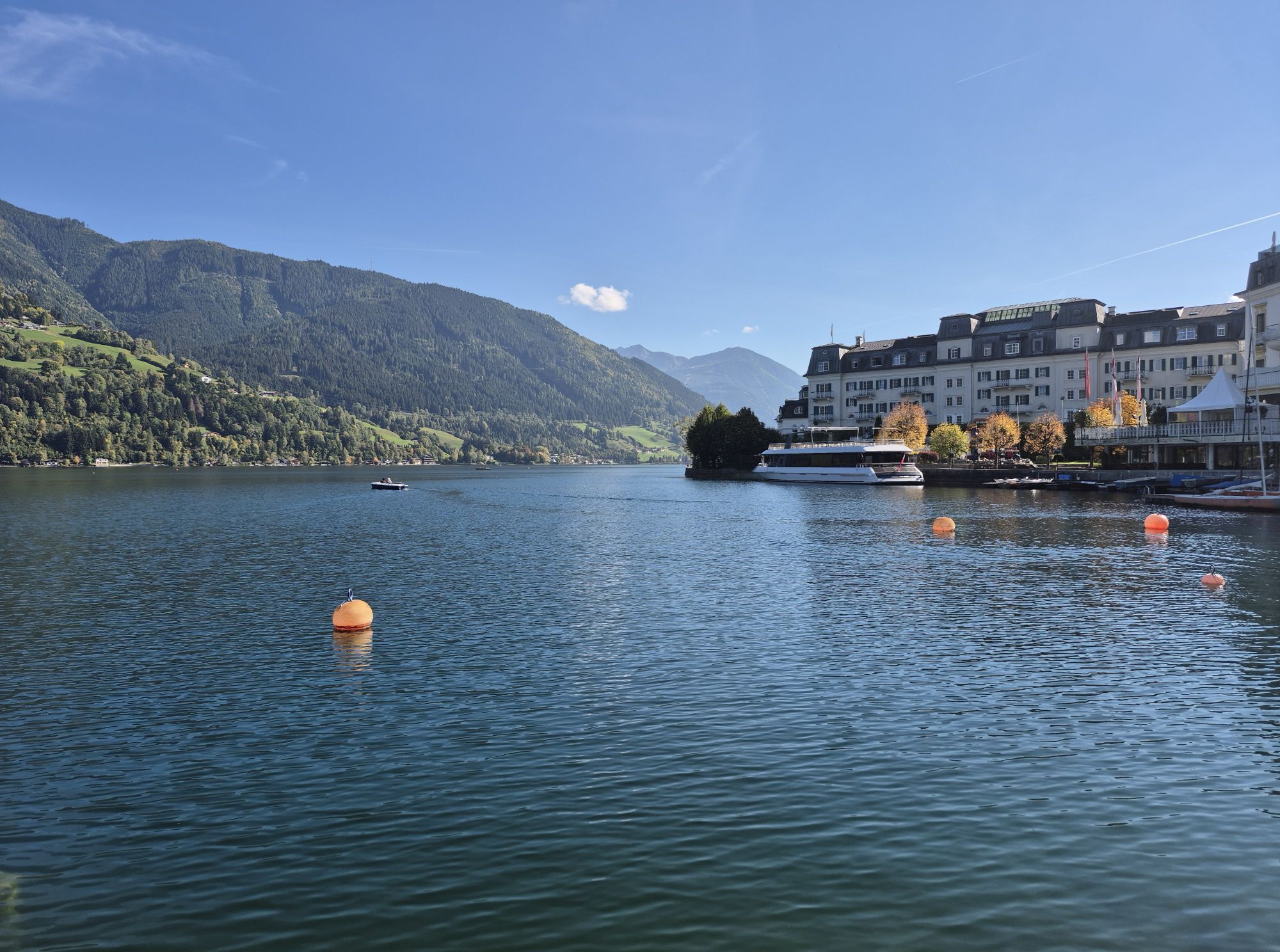
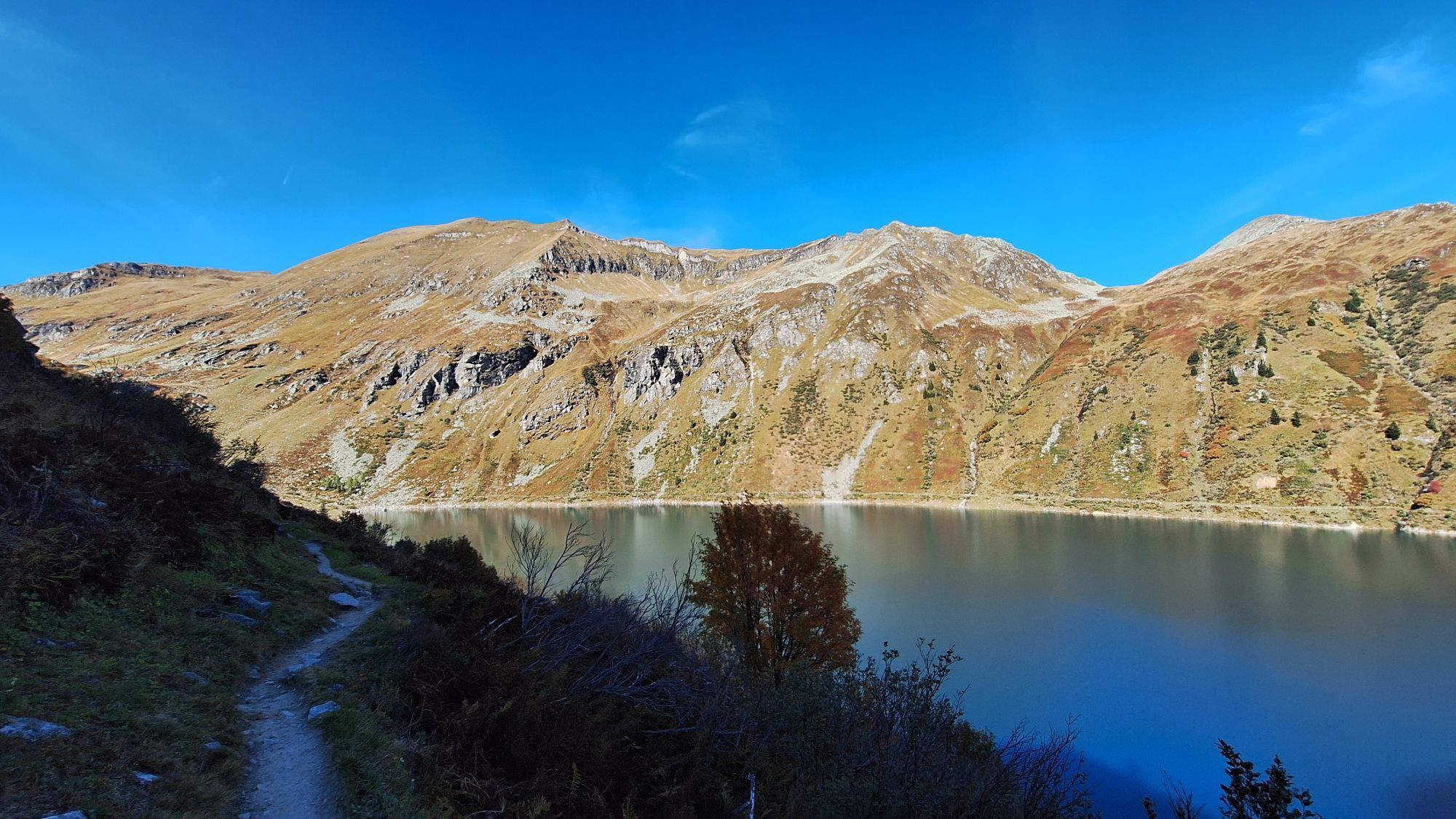
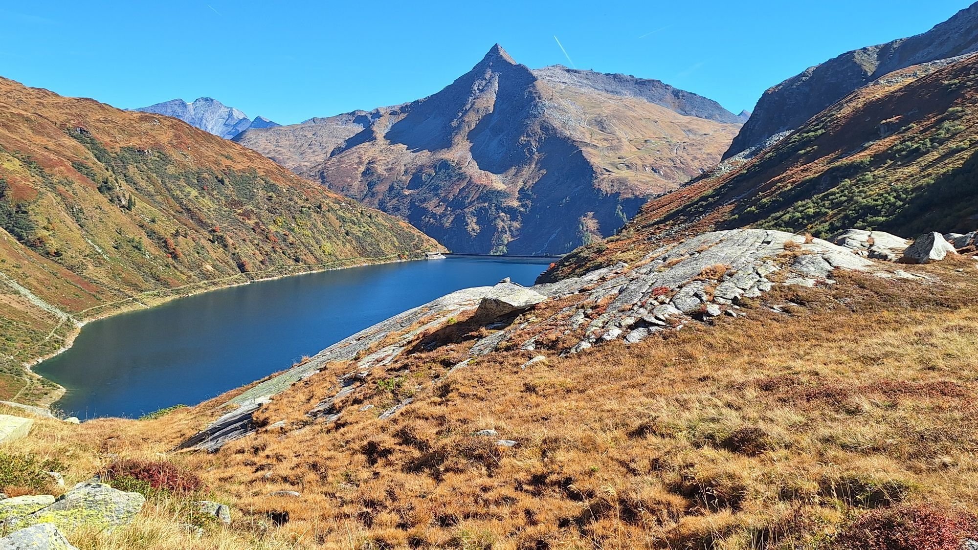
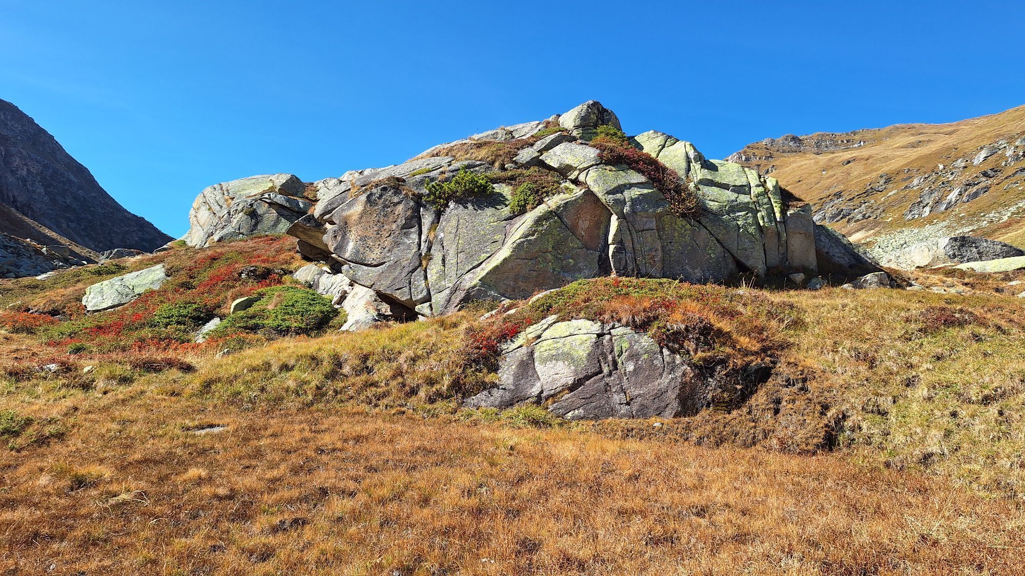
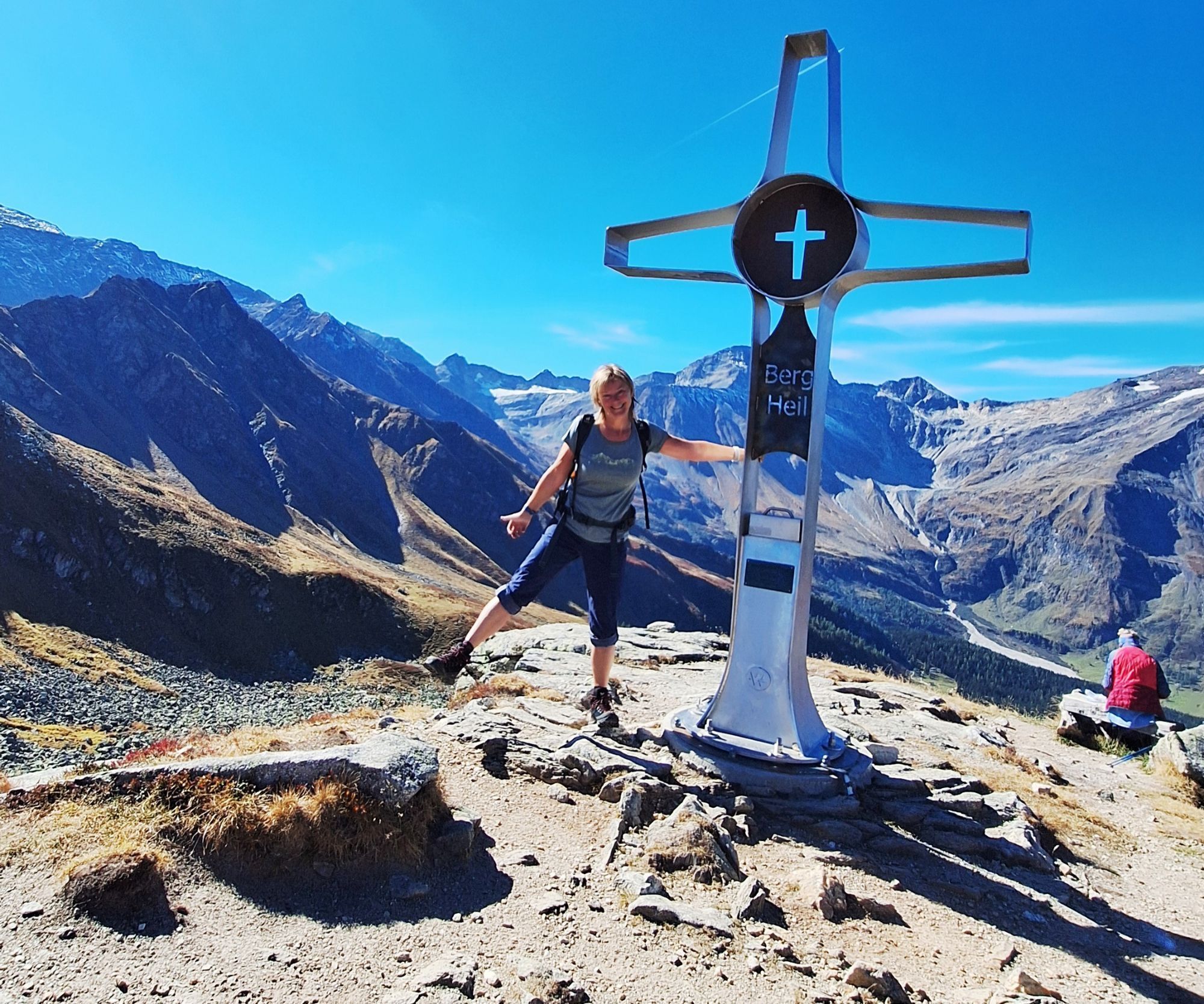
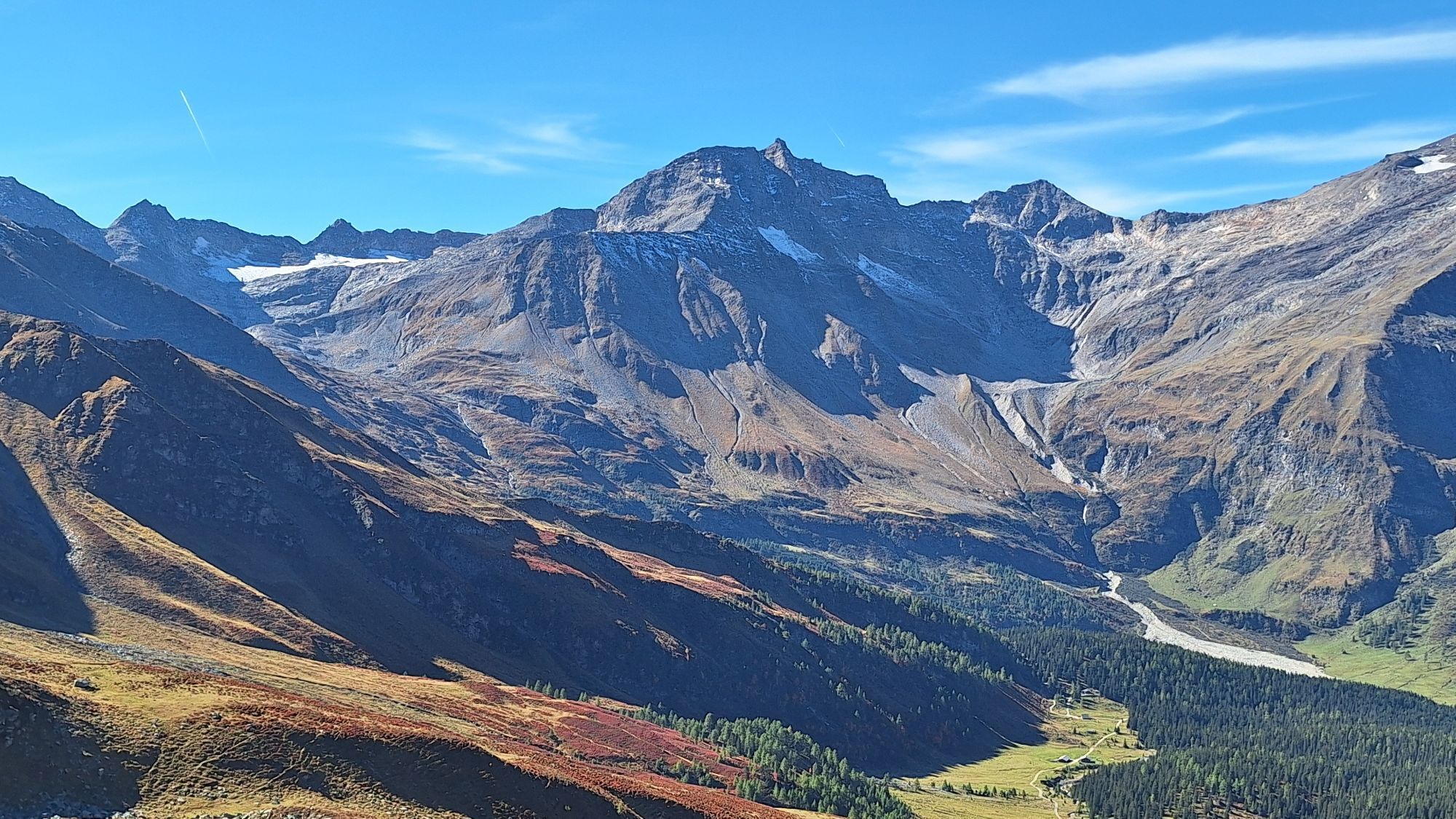
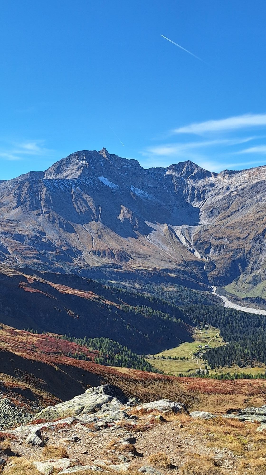
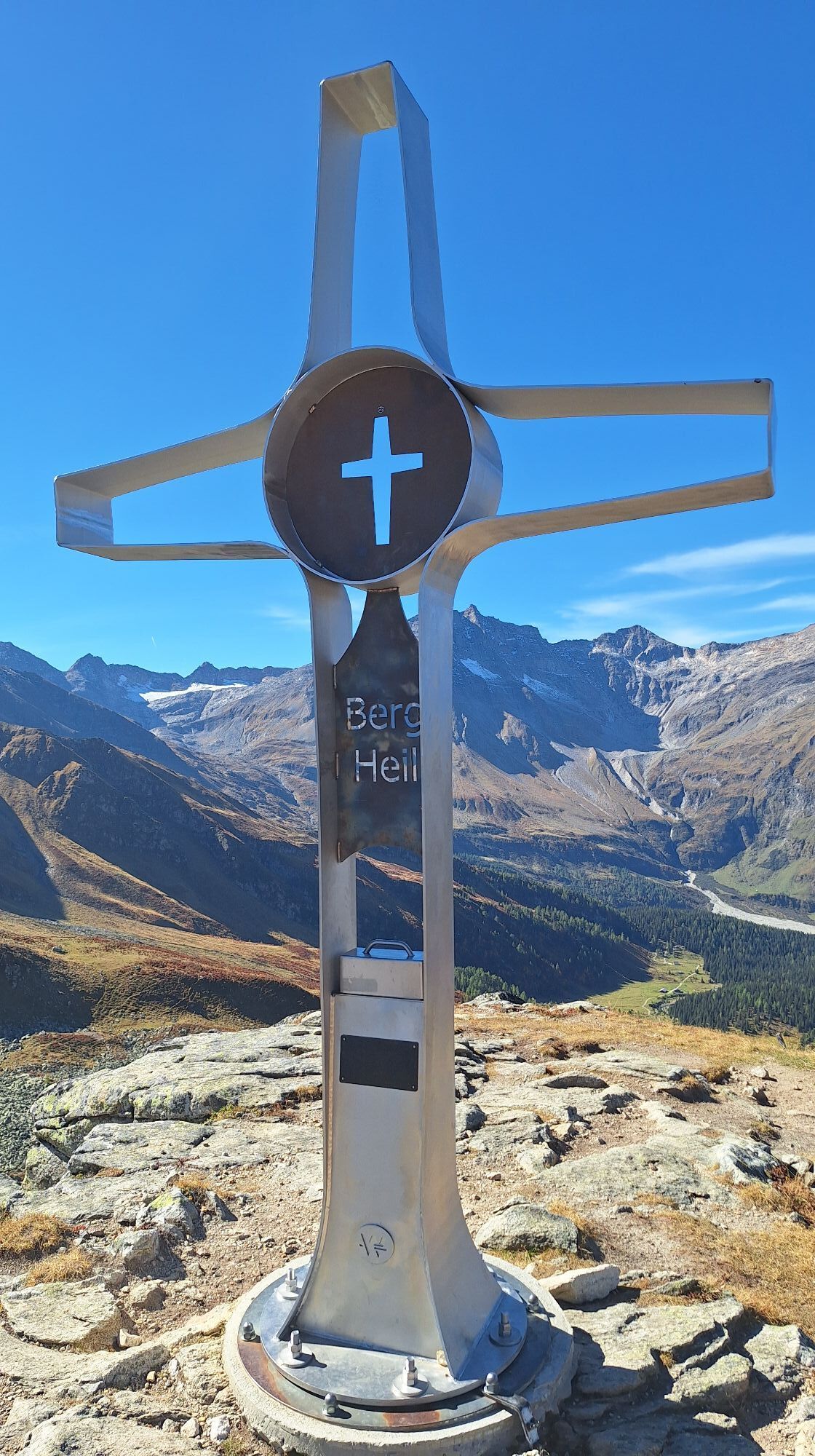
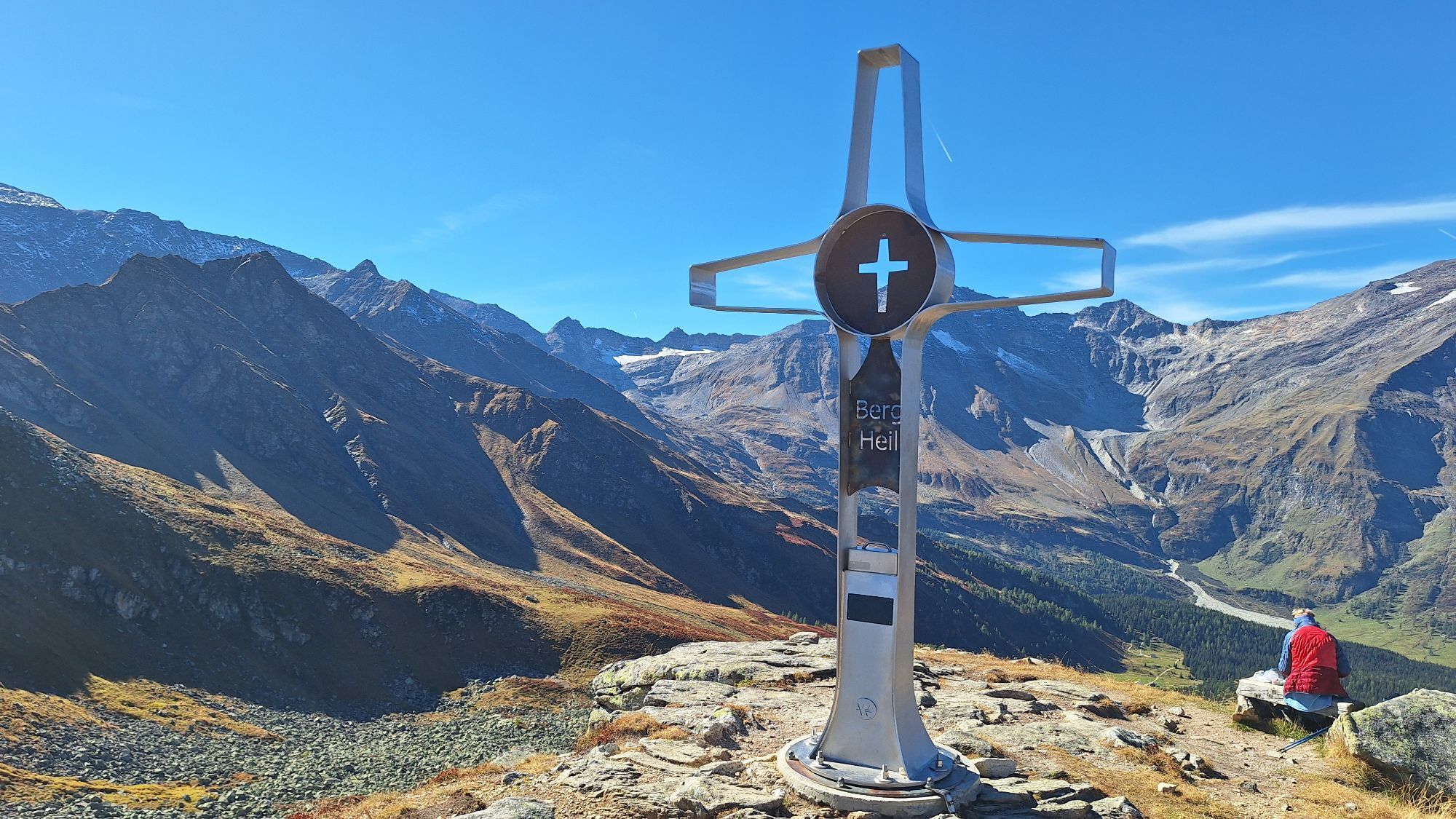
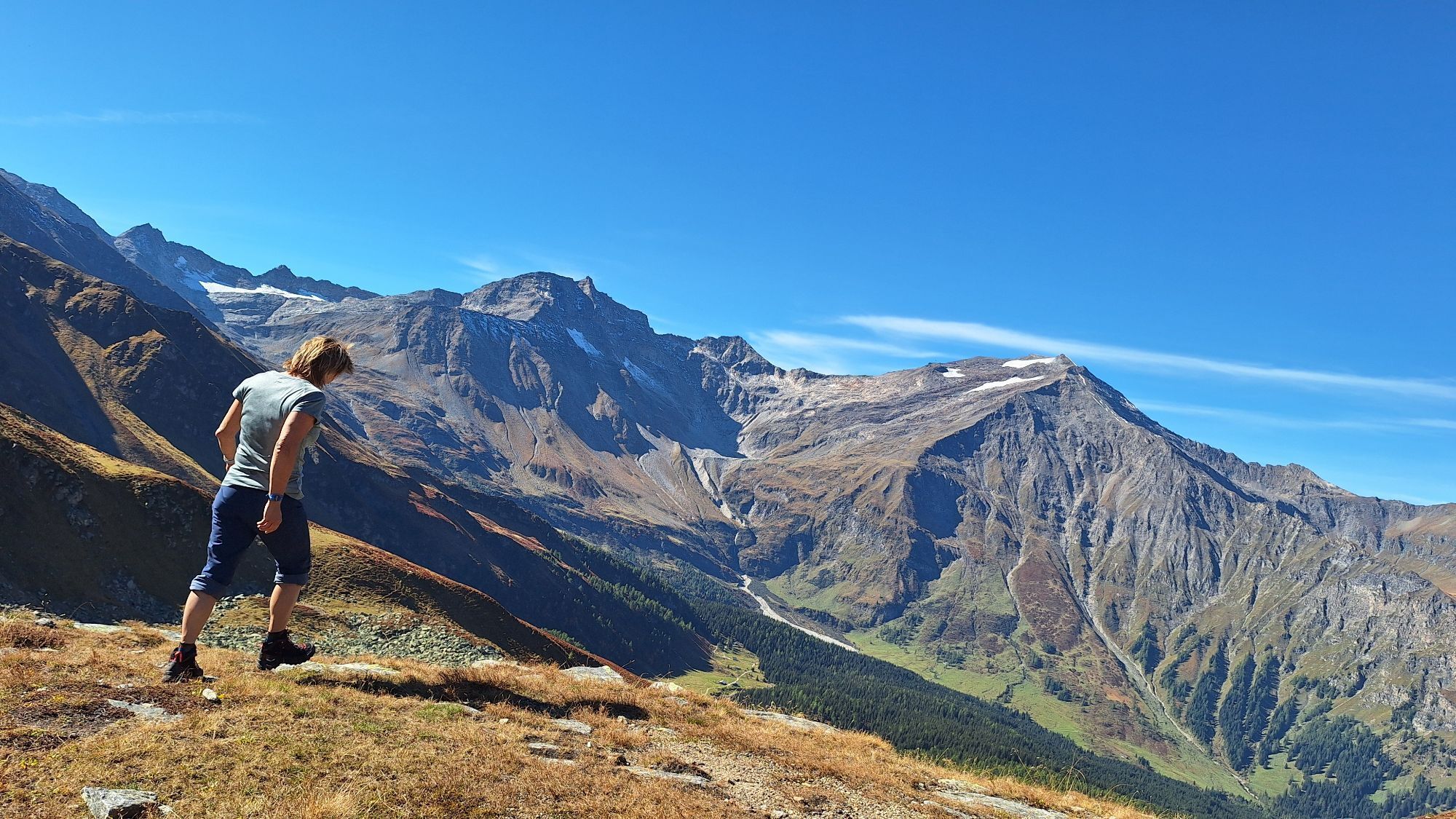
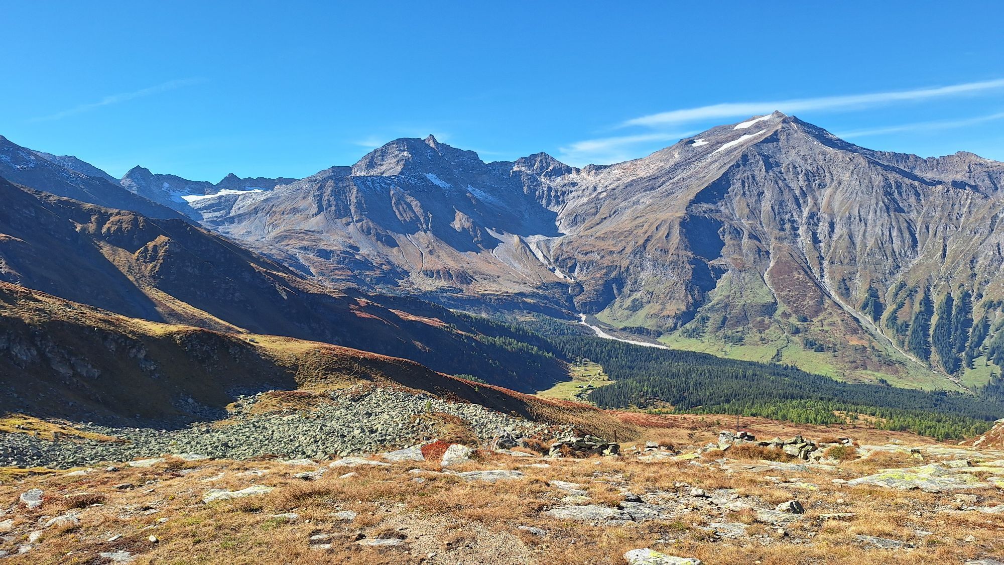
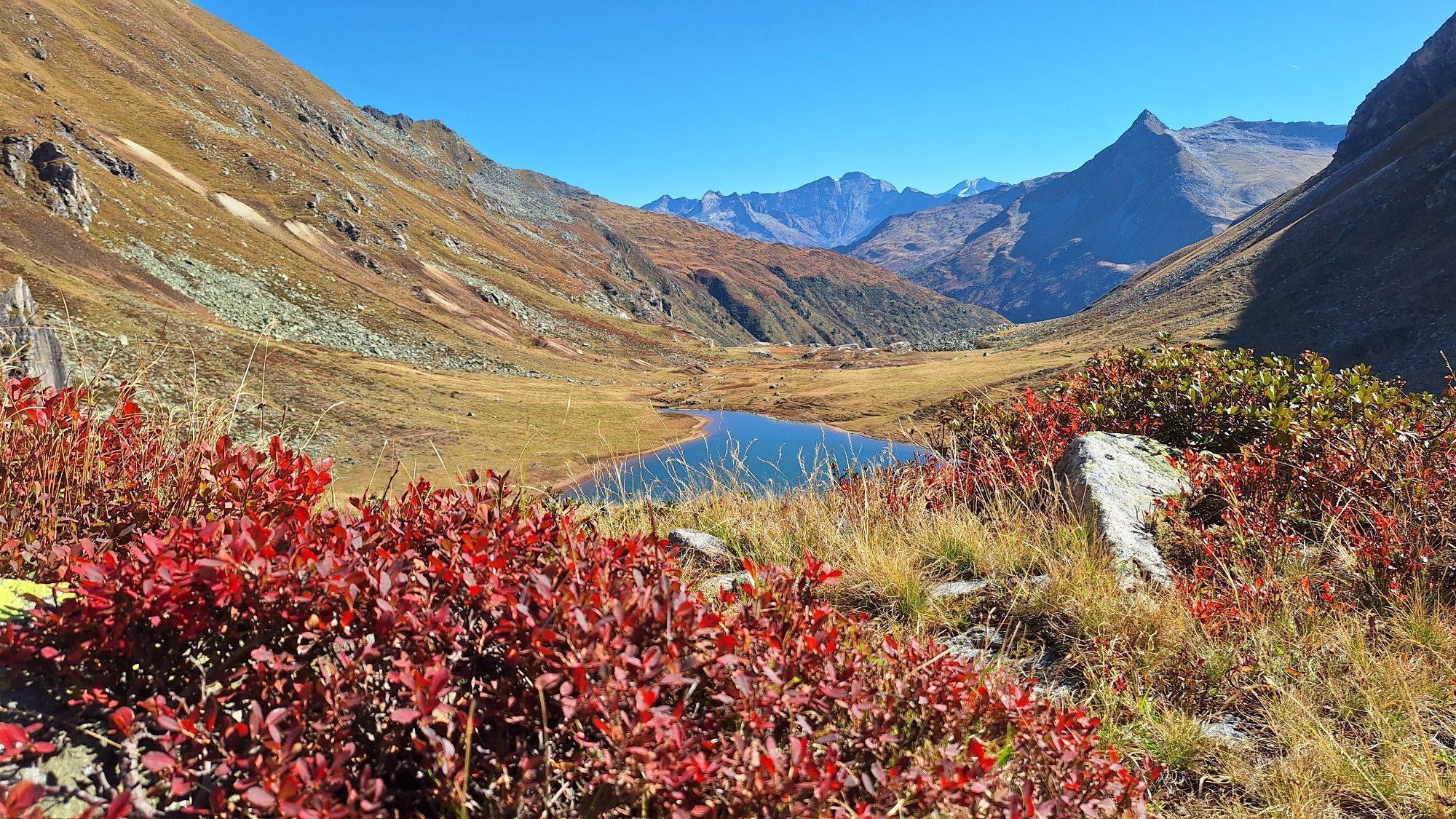
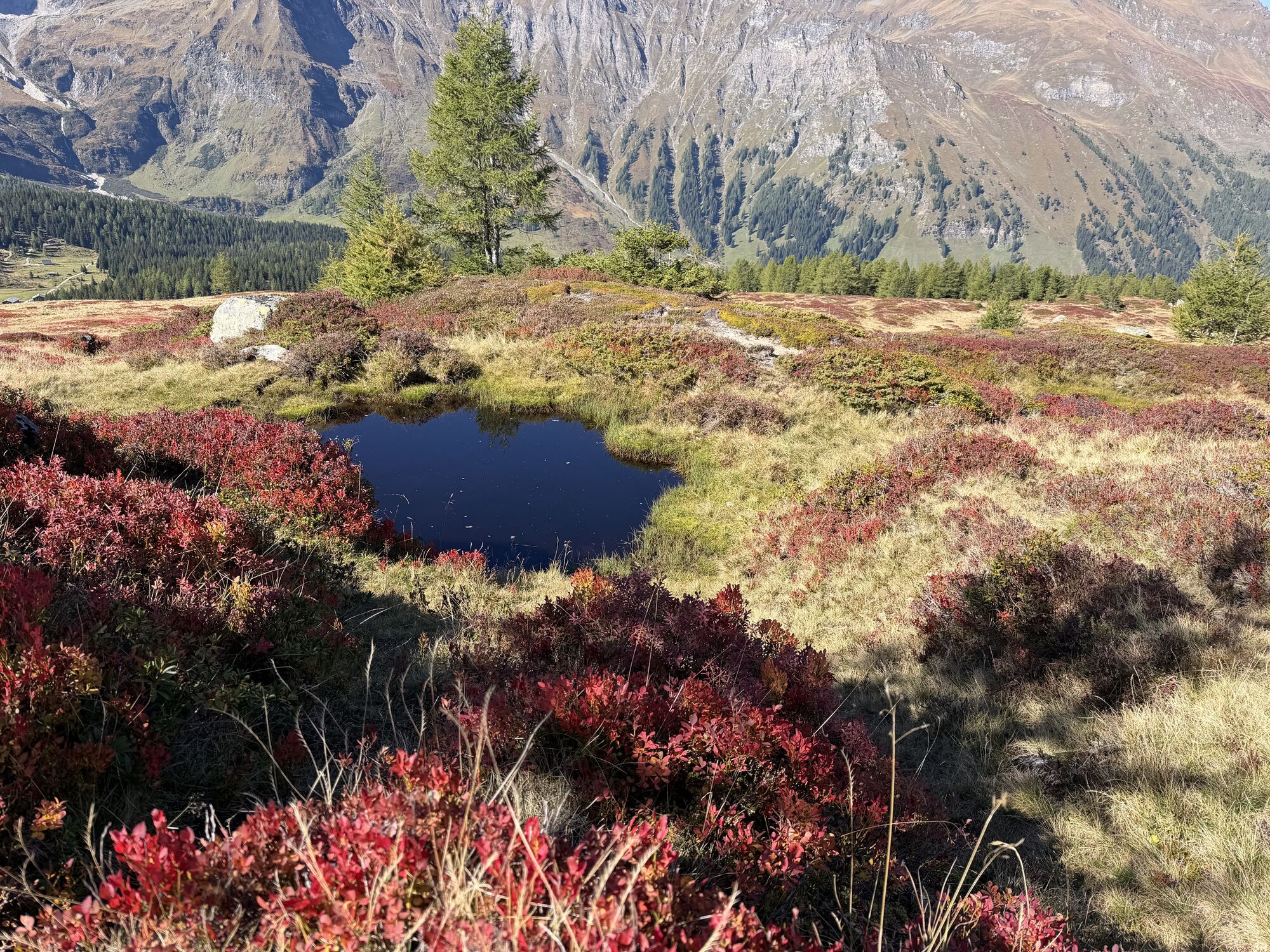
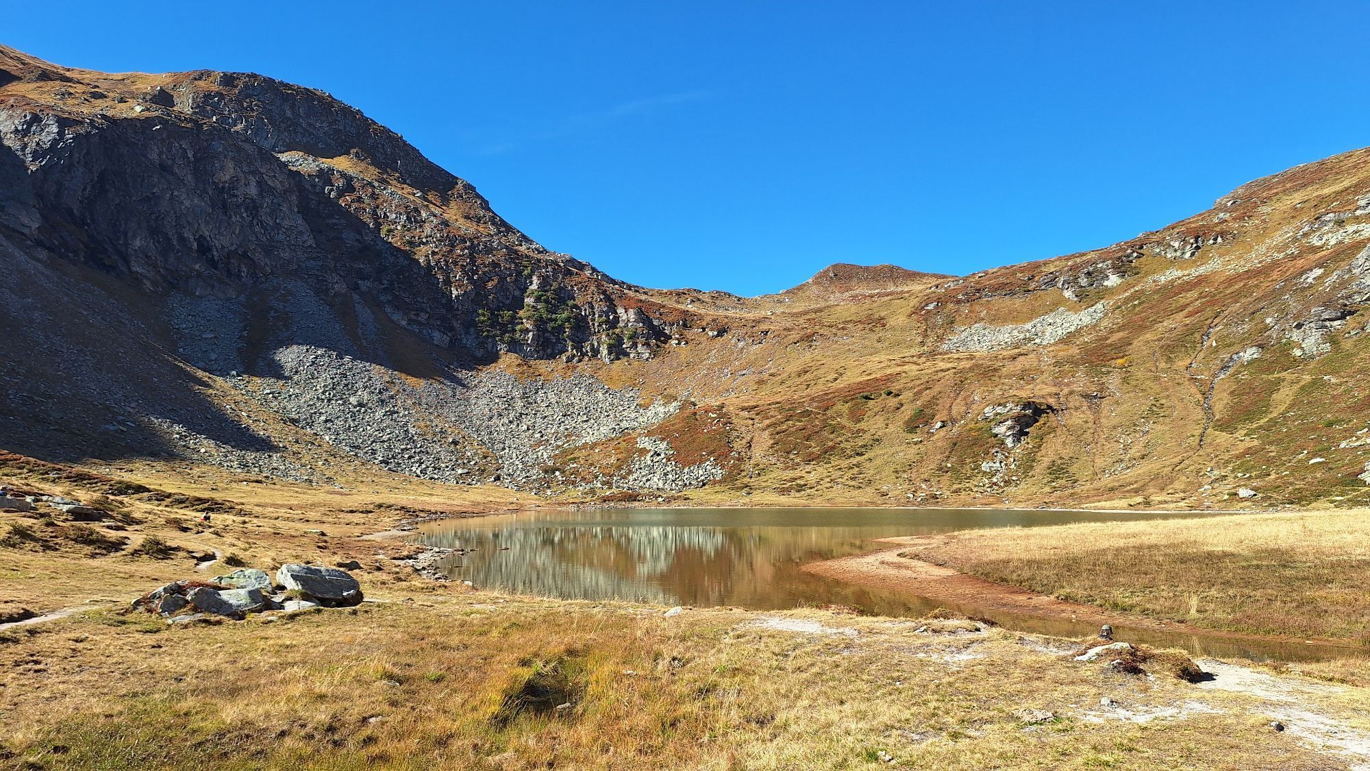
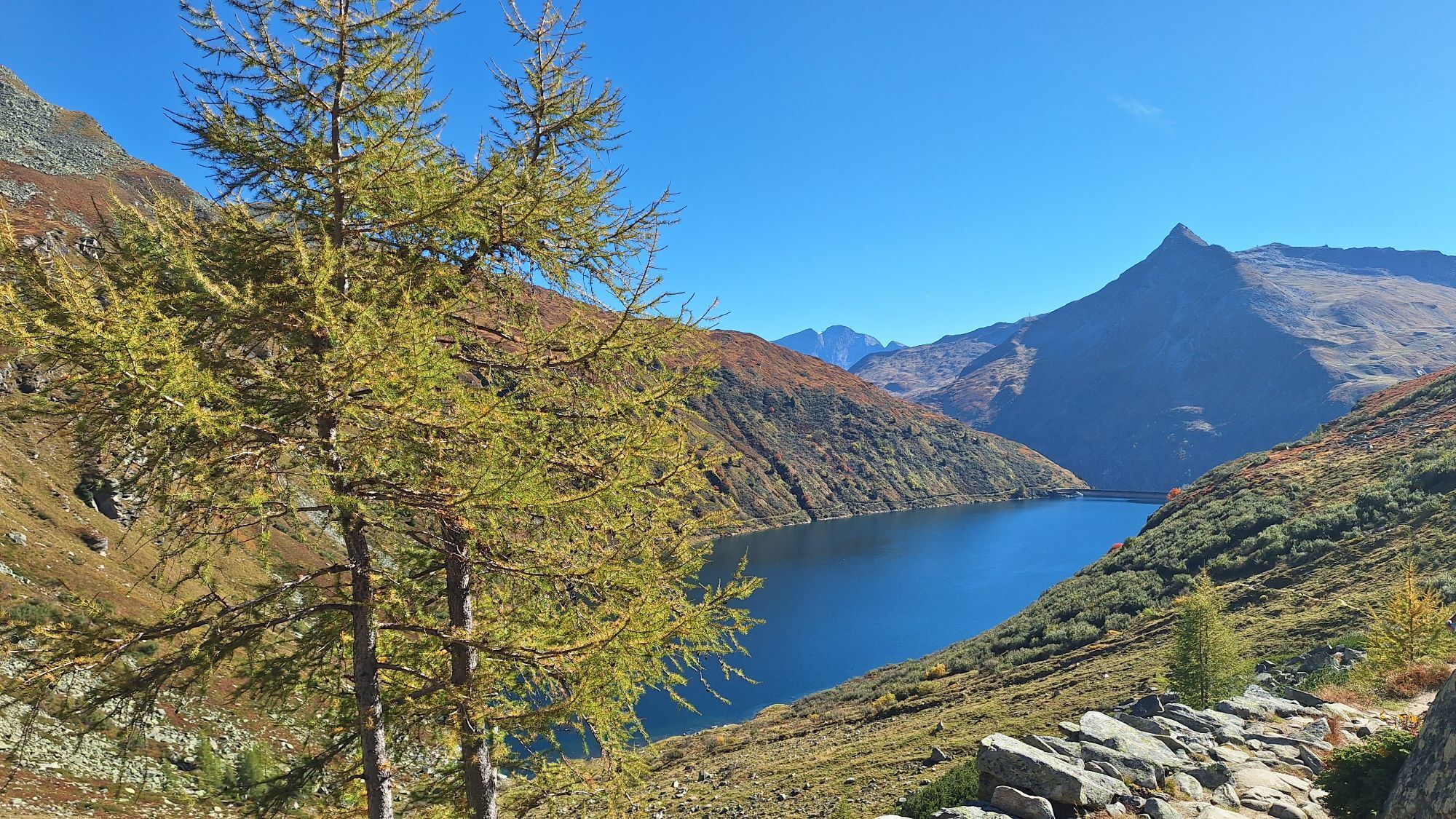
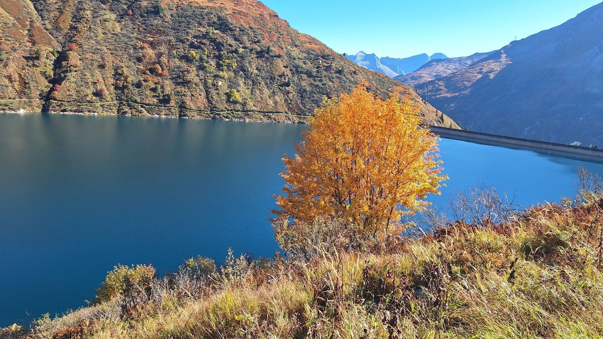
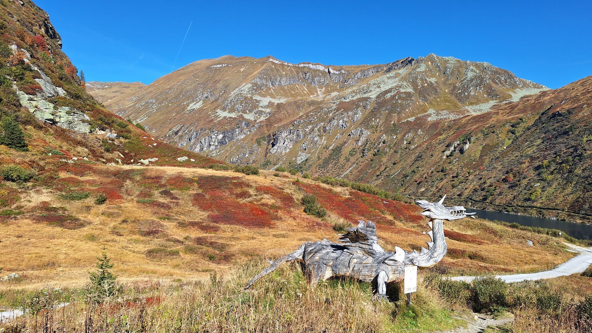
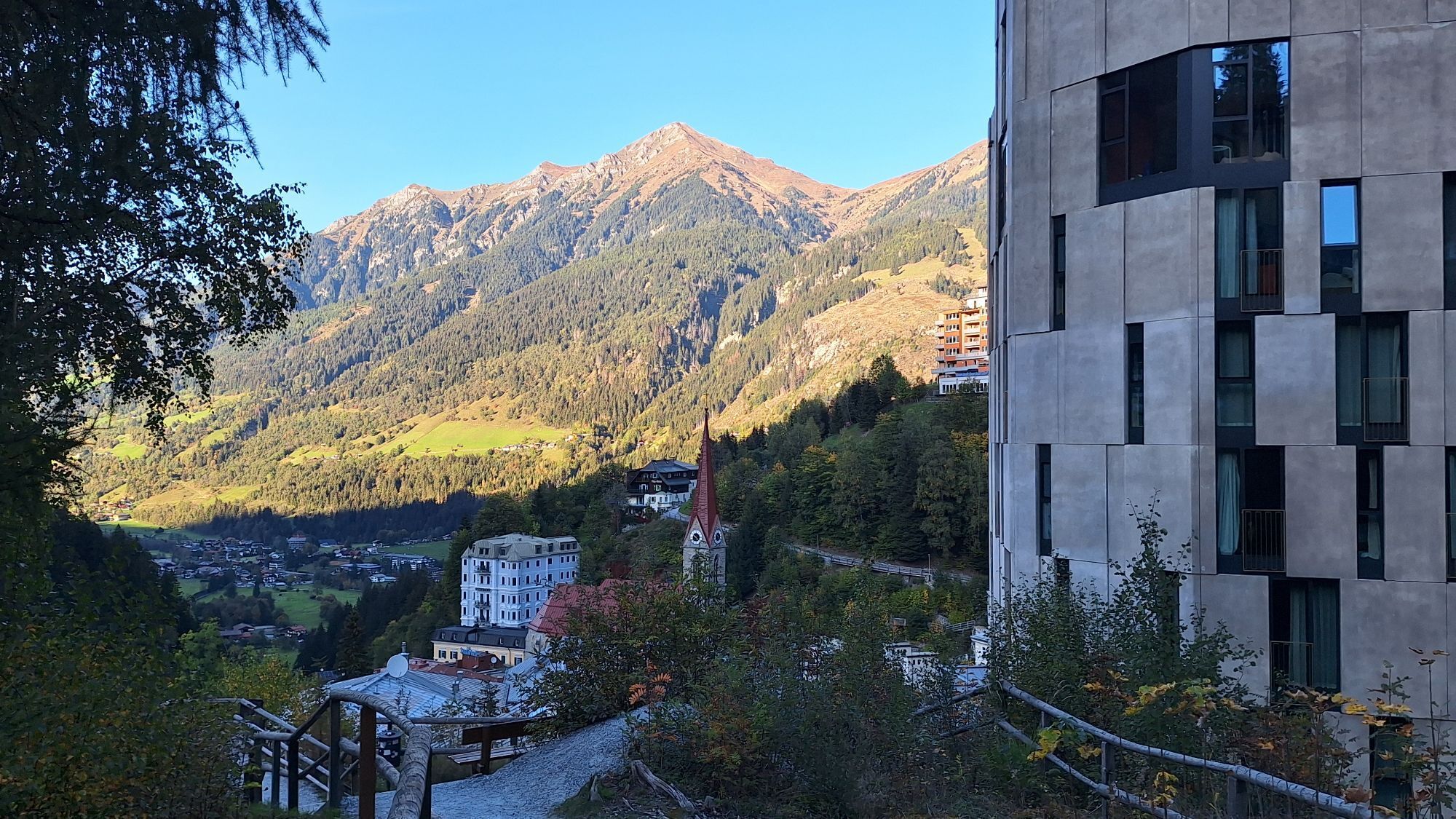
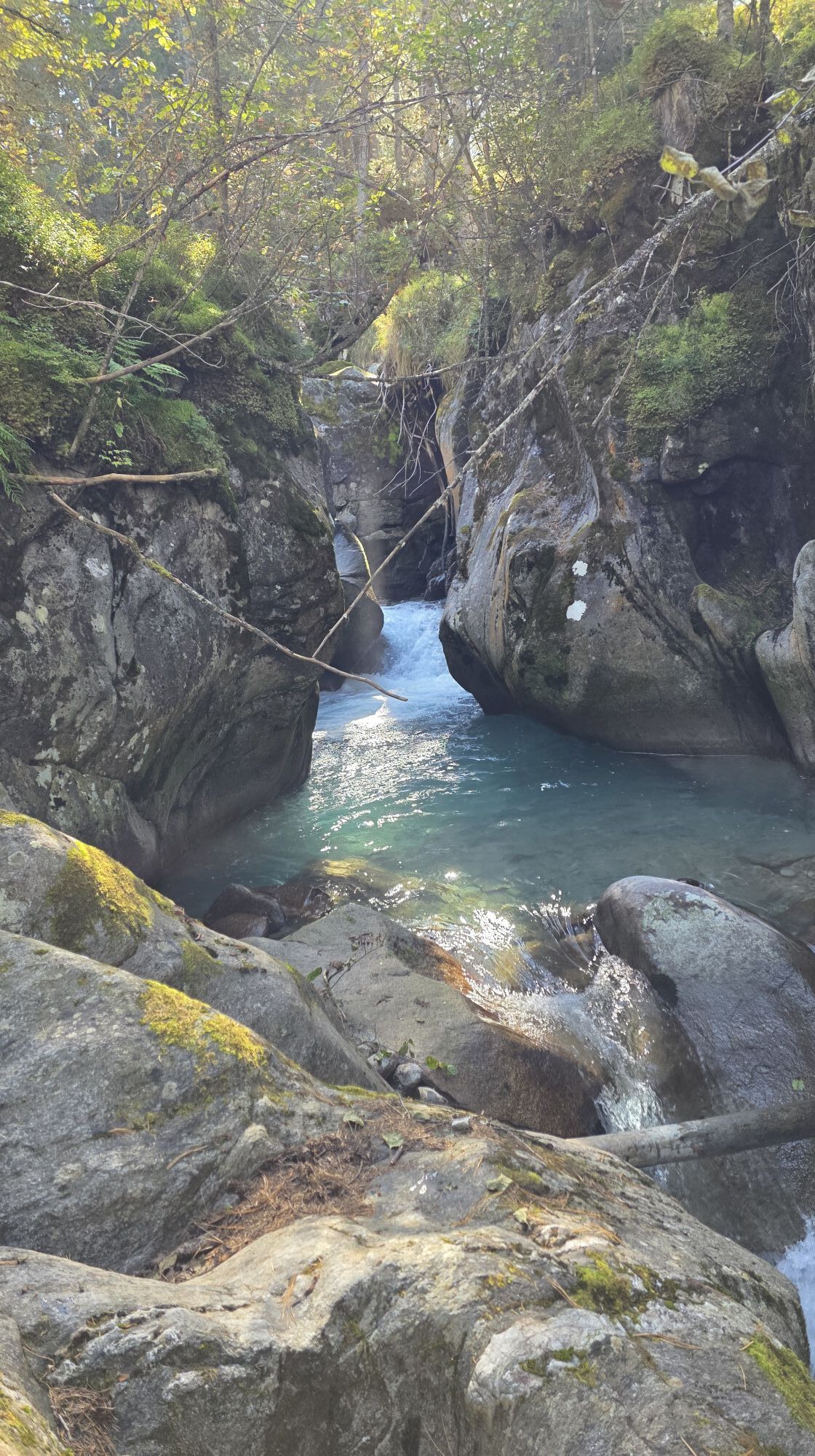
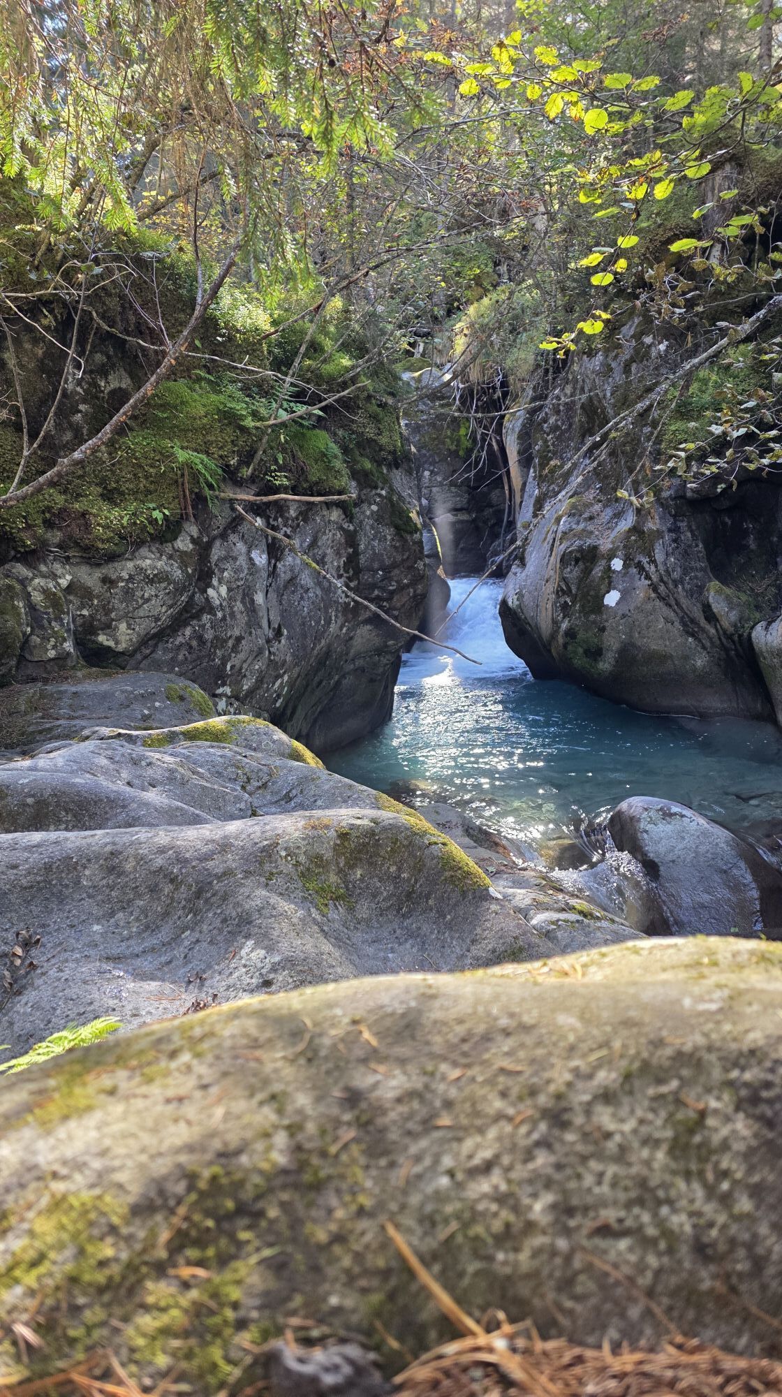
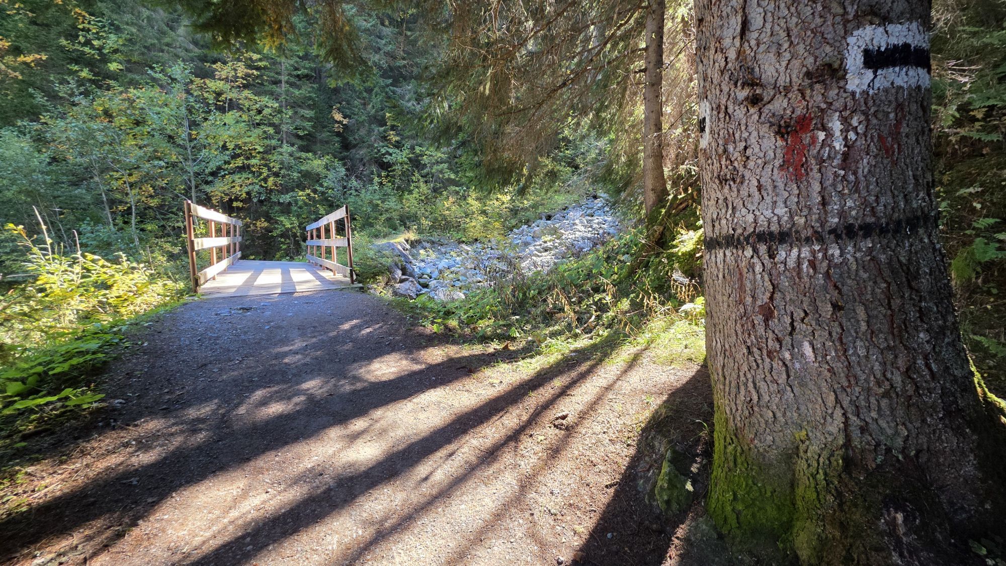
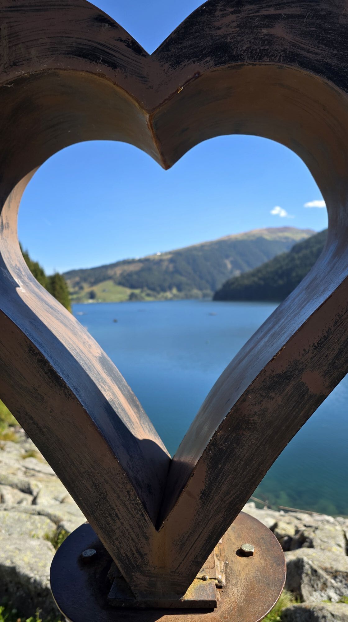
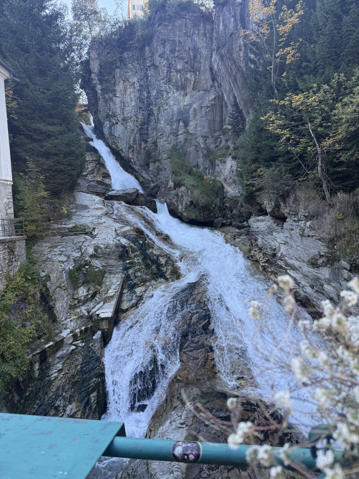
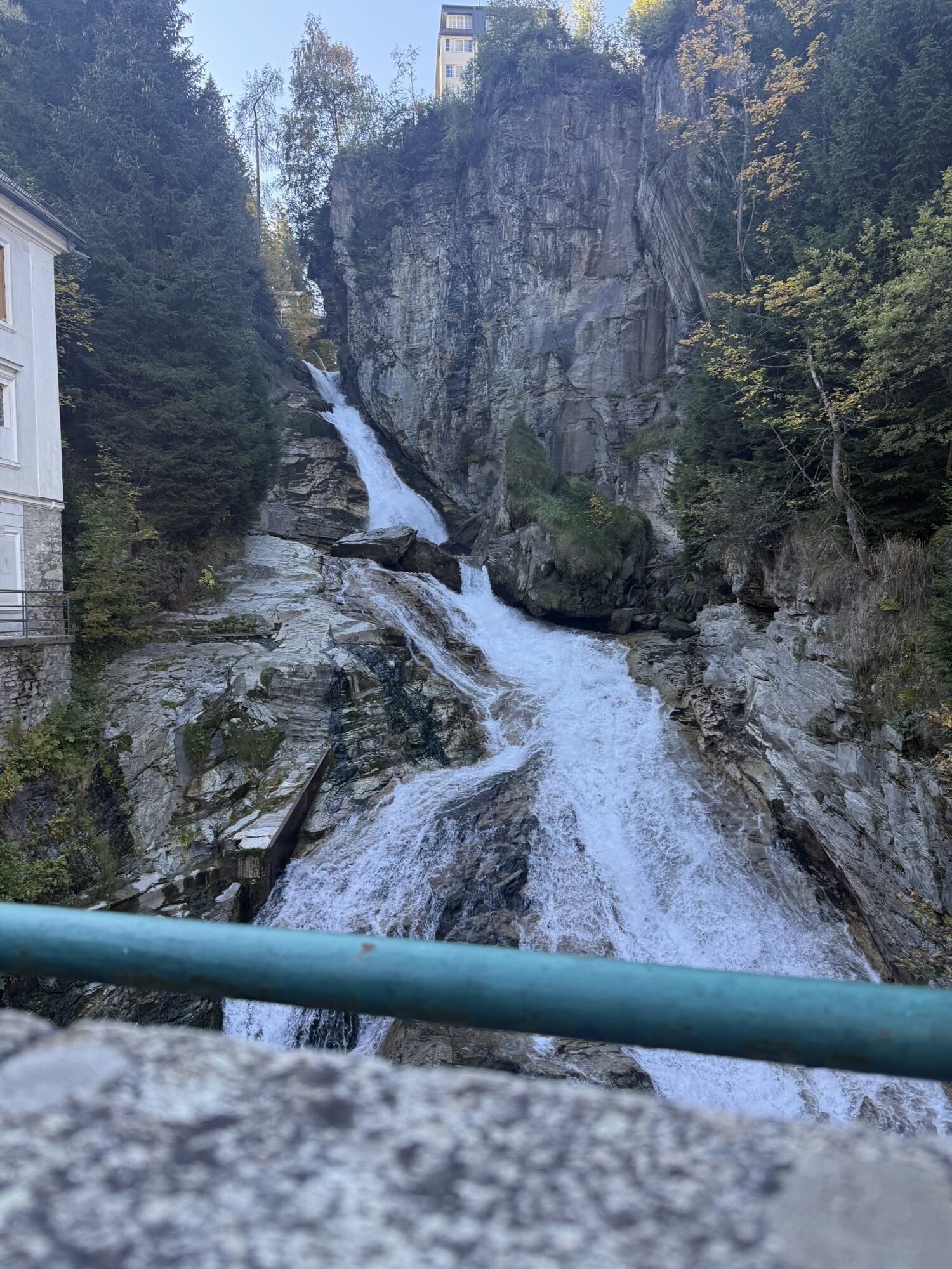
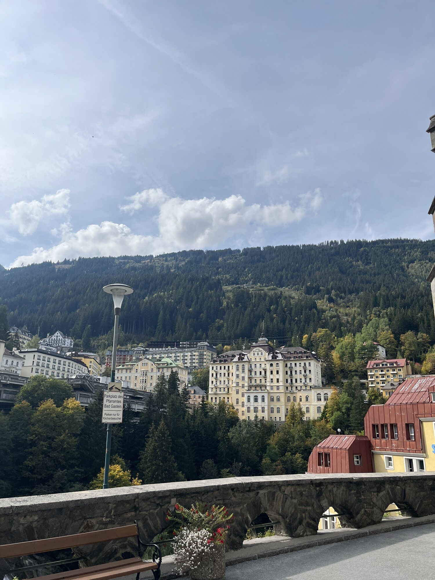
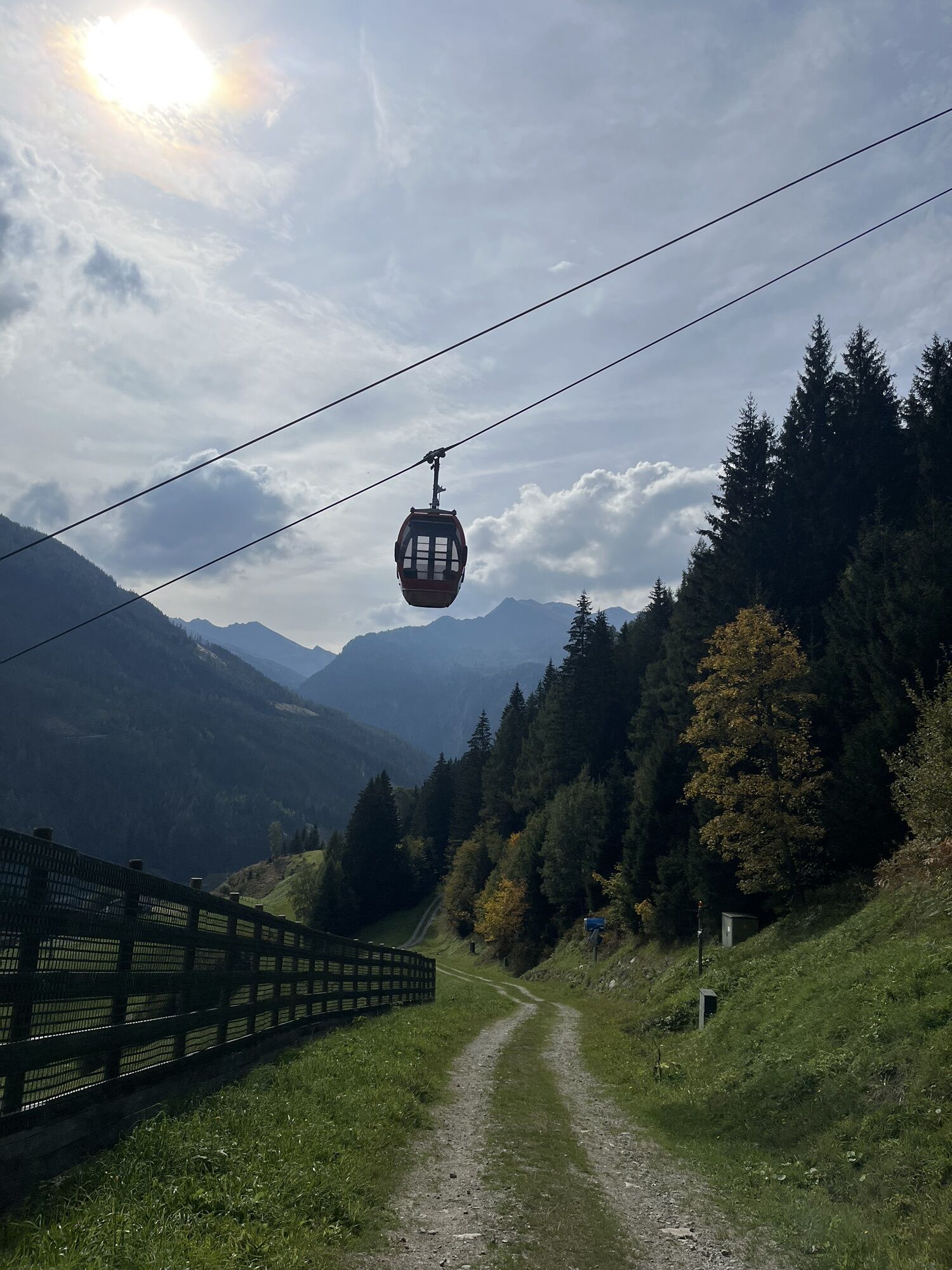
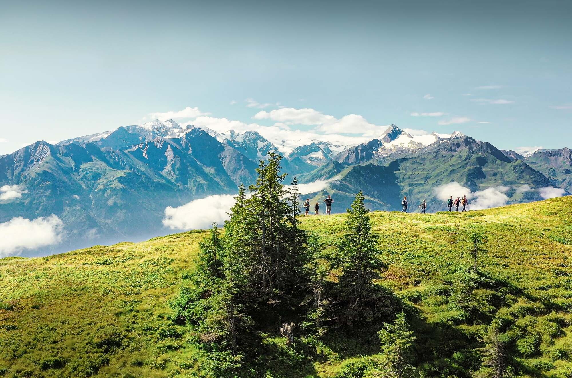
The Hohe Tauern Panorama Trail offers a long-distance hiking experience that's in a class of its own. In the course of seventeen daily stages, hikers cover a distance of 270 kilometres from the starting...
Each day the long-distance hikers walk for three to seven hours - without rope and between 700 and 2,400 metres above sea level, affording panoramic views. Alternative routes are available if the main routes cannot be accessed during low season due to bad weather, such as snow at high altitudes.
TIP: Enjoy an unforgettable hiking experience on the High Tauern Panorama Trail! The official High Tauern Panorama Trail Information and Booking Center with the award-winning Trail Angels team is happy to assist you. Experience a combination of personal freedom and the yearning for the extraordinary, paired with service, comfort, and safety. Top offer: The Small Escape Package: 2 nights, 2 stages including luggage service, shuttle and return transfer, and much more, starting from €212.


Detailed route descriptions can be found in the tour descriptions of stages 01-17.
For the Hohe Tauern Panorama Trail you need alpine hiking experience, which includes not only the correct self-assessment of the technical and physical requirements for the points, but also experience in orientation in the terrain (including reading topographical maps) and in how to react in case of bad weather.
If desired, you will be well looked after and supported on the Hohe Tauern Panorama Trail by the Trail Angels information and booking platform. Nevertheless, you are on the trail as an independent hiker (unless you book a mountain hiking guide as an option). We would like to point out that you are on your own responsibility on the Hohe Tauern Panorama Trail.
You need alpine hiking equipment for the Hohe Tauern Panorama Trail:Day backpack, capacity: 25-30 litres, with waist belt and rain coverHiking boots - minimum category BWeather-adapted and hard-wearing clothing in multiple layers. The Hohe Tauern Panorama Trail is mostly at altitudes between 1,300m and 2,450m - this should be taken into account when choosing your hiking equipment (especially your clothing).Height-adjustable trekking polesSun and rain protectionMake sure take enough to eat and sufficiently large water bottles with you, as there are not refreshment stops and fountains on all stages (e.g. on stages 5 and 7).First aid kitPocket knifeMobile phoneTour description or hiking mapComing from the north - (Vignette required!) (D, NL, ...): Munich - Kufstein - St. Johann in Tirol - Kitzbühel - Pass Thurn - Hohe Tauern National Park holiday region
Coming from the west (CH): Inntal - Motorway (A12 = toll sticker required!) - Wörgl Ost exit - St. Johann in Tirol - Kitzbühel - Pass Thurn - Hohe Tauern National Park holiday region
Coming from the east: Vienna - Salzburg (A1 = toll sticker required!) - Lofer - St. Johann in Tirol - Kitzbühel - Pass Thurn - Hohe Tauern National Park Holiday Region
Coming from the south: Lienz - Matrei - Felbertauernstrasse (toll) - Hohe Tauern National Park Holiday Region
Arriving by plane - nearest airports: Salzburg, Innsbruck, Munich
Timetables and information on how to get there by public transport >>
Parking is available at the respective starting points of the trail trip. Most of the parking spaces are free and not monitored!
Ferienregion Nationalpark Hohe Tauern Gerlosstraße 18 5730 Mittersill, Austria Phone +43 6562 40939 E-Mail: hohetauerntrail@nationalpark.at
Booking center & info hotline Trail Angels GmbH 9821 Obervellach 15, Austria Phone +43 4782 93093 E-Mail: info@bookyourtrail.com
The official brochure and map material of the Hohe Tauern National Park Holiday Region provides everything you need for your long-distance hike on around 100 pages: detailed information on all 17 stages, dining options, highlights, elevation profiles, maps, and much more.Uniform signposts are attached to the entire Hohe Tauern Panorama Trail for orientation. The signs are 20x20 cm and always point in the direction of Zell am See and from Zell am See eastwards in the direction of Hüttschlag. For stages 12, 15 and 16 we recommend shortening part of the route by public transport (saving 20.2 km) - details in the stage descriptions.

Obľúbené výlety v okolí
-
4,4
Schwalbenwand Nr. 80, 81, 82
strednáTuristika 13,0 km -
4,2
Maurerkogel (Top)
Turistika 10,5 km -
4,6
Lettlkaser
strednáTuristika 4,40 km -
4,7
Panorama route 3 peaks and 2 lakes
strednáTuristika 7,21 km -
5,0
Leo’s play hiking trail
svetloTematická trasa 4,89 km -
4,1
Berg der Sinne
svetloTuristika 4,39 km -
4,6
Sigmund Thun Klamm, Klammsee, Bürgkogel
svetloTuristika 4,56 km -
4,6
Thumersbach, Runde um den Zeller See
svetloTuristika 13,3 km -
4,5
Birnbachloch
strednáTuristika 6,35 km -
4,7
Fusch: Gleiwitzer Hütte
ťažkéTuristika 8,26 km
Turistika a stopovanie


Nenechajte si ujsť ponuky a inšpiráciu na ďalšiu dovolenku
Vaša e-mailová adresa bol pridaný do poštového zoznamu.





