






Oberbuchstein alm and Reitlehen alm | Circular route
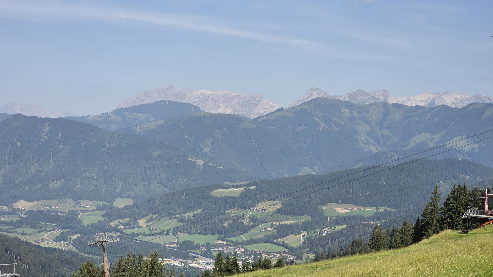
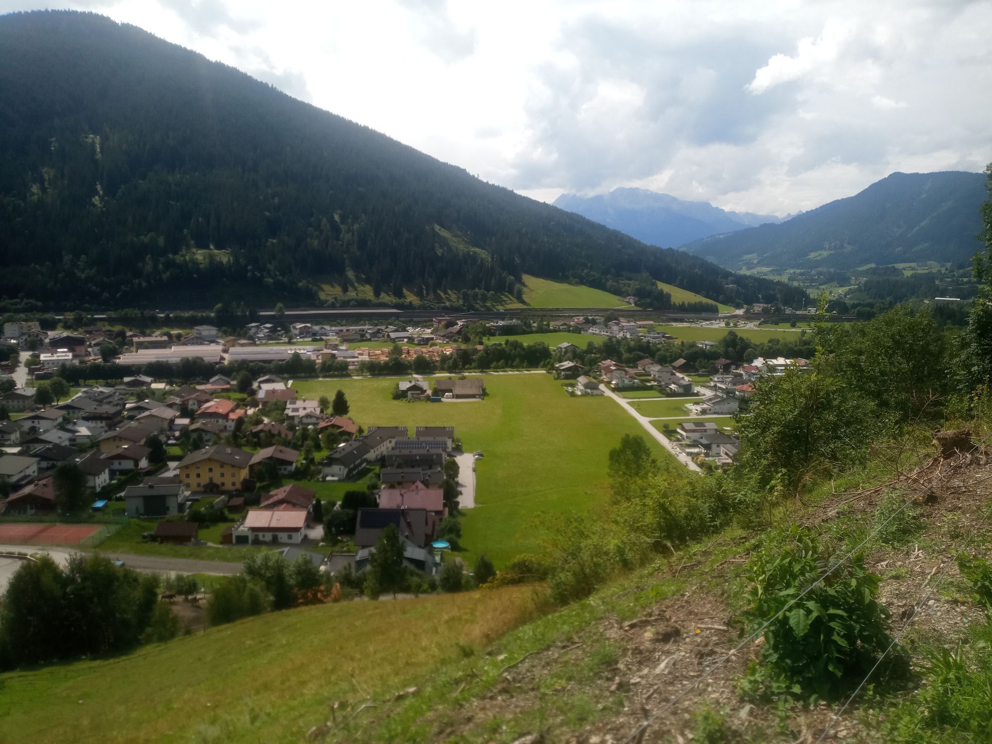
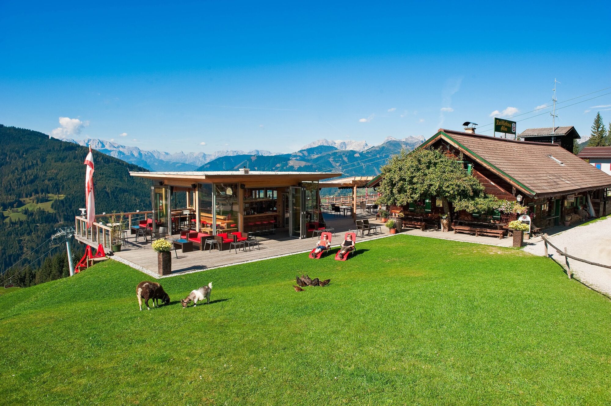
Hiking route for the whole family, uphill initially on an asphalt path, otherwise mostly on forest roads and trails. Stop for refreshments at the Oberbuchstein alm or at the Reitlehen alm with fish pond...
Hiking route for the whole family, uphill initially on an asphalt path, otherwise mostly on forest roads and trails. Stop for refreshments at the Oberbuchstein alm or at the Reitlehen alm with fish pond and playground, small animals and alpine cows.


The route can already be started in the town centre. You go northwest, turn right after the bakery Eder into Alleestrasse and after the railway crossing go left on the protected avenue to the Kreistsiedlung crossroads. Then turn right about 500 metres into the settlement and continue about 300 metres up into Haidsiedlung. Then follow the signposting of trail No. 13 to Hedegggut, and continue on the marked meadow path to the junction with the forest path. On this you hike to Oberbuchstein alm and Reitlehen alm. Return to Eben via trail No. 12 from Reitlehen alm (follow the signs). After the turnstile at the forest edge, you descend the "Wurzelsteig" down to the forest path. This then leads to the junction to the youth guesthouse Edthof and through Edtsiedlung back to the town centre.
Áno
Sturdy footwear, rain protection, drinking bottle, hiking map
If you bring your dog on the hike, please keep as much distance as possible from grazing cows, if there is a danger of being attacked by cows, let the dog off the leash!
Tauern motorway A 10, exit Eben (Exit 60)
Postbus line 521, stop Bahnhof or Edtsiedlung
Parking lot or parking garage in the town centre


 Získajte prehľad
Vždy naživo na mieste s viac ako 9 500 webovými kamerami. bergfex Ako používateľ Pro si teraz môžete pozrieť príslušné webové kamery pre mnohé zájazdy v aplikácii zájazdy z. Môžete si tak priamo prezerať aktuálne podmienky.
Získajte prehľad
Vždy naživo na mieste s viac ako 9 500 webovými kamerami. bergfex Ako používateľ Pro si teraz môžete pozrieť príslušné webové kamery pre mnohé zájazdy v aplikácii zájazdy z. Môžete si tak priamo prezerať aktuálne podmienky.

Obľúbené výlety v okolí
-
4,3
Filzmoos: Rötelstein (Rettenstein)
Turistika 9,50 km -
4,9
Werfenweng Mountainbikerunde Söldenhütte
strednáMountainbike 18,8 km -
4,8
Tour around the Gosaukamm
strednáTuristika 20,9 km -
4,7
Tor-Wanderung
ťažkéTuristika 14,2 km -
4,7
Tour around the Lake Gosau
svetloTuristika 4,43 km -
4,6
Ski route Lackenkogel
strednáSkitour 7,82 km -
4,5
Adamekhütte vom Vorderen Gosausee
strednáTuristika 23,2 km -
4,6
Rittispanoramaweg
svetloTuristika 5,30 km -
4,7
Wengerau - Tauernkogel - Eiskogel - Napf - Wengerau
strednáVysoké turné 15,5 km -
4,7
Bachlalm-Murmeltiere Rundwanderweg
svetloTuristika 10,2 km
Turistika a stopovanie


Nenechajte si ujsť ponuky a inšpiráciu na ďalšiu dovolenku
Vaša e-mailová adresa bol pridaný do poštového zoznamu.





