
Piesendorf: Oberer-Gernkogel über Niederer-Gernkogel
stredná
Získajte túto prehliadku v mobilnom telefóne
Piesendorf: Oberer-Gernkogel über Niederer-Gernkogel
stredná
Turistika
19,08
km
Naskenujte kód QR a spustite navigáciu v aplikácii bergfex


Turistika a stopovanie




Piesendorf: Oberer-Gernkogel über Niederer-Gernkogel
stredná
Vzdialenosť
19,1
km
Trvanie
08:45
h
Ascent
1 340
hm
Hladina mora
793 -
2 151
m

Naviguj sa počas prehliadky v aplikácii
Nainštalujte si aplikáciu zadarmo a sledujte trasu vďaka GPS navigácii a sledovaniu polohy.
Využite službu „ bergfex “ už teraz v aplikácii
Naskenuj QR kód pomocou fotoaparátu
Ak máte aplikáciu nainštalovanú, obsah sa otvorí priamo. Ak aplikáciu ešte nemáte, budete presmerovaní na stránku, kde si ju môžete bezplatne stiahnuť.
Stiahnutie skladby
Piesendorf: Oberer-Gernkogel über Niederer-Gernkogel
stredná
Turistika
19,08
km
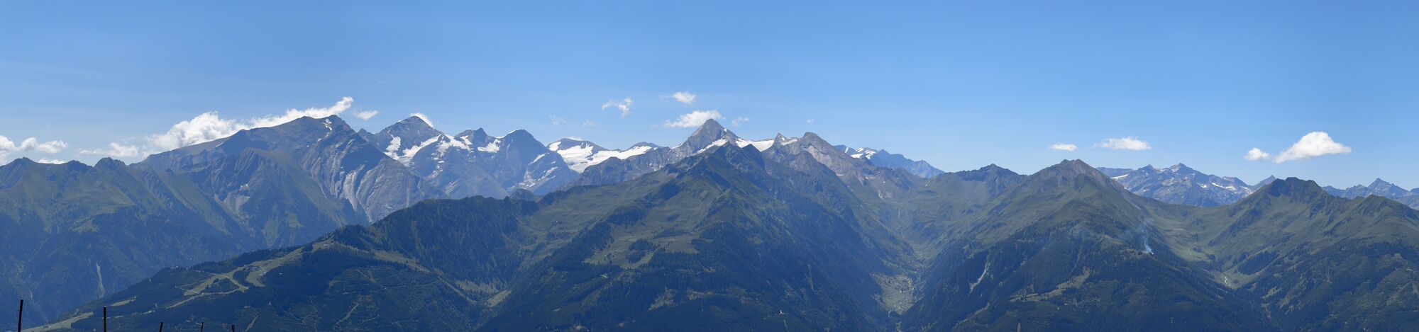
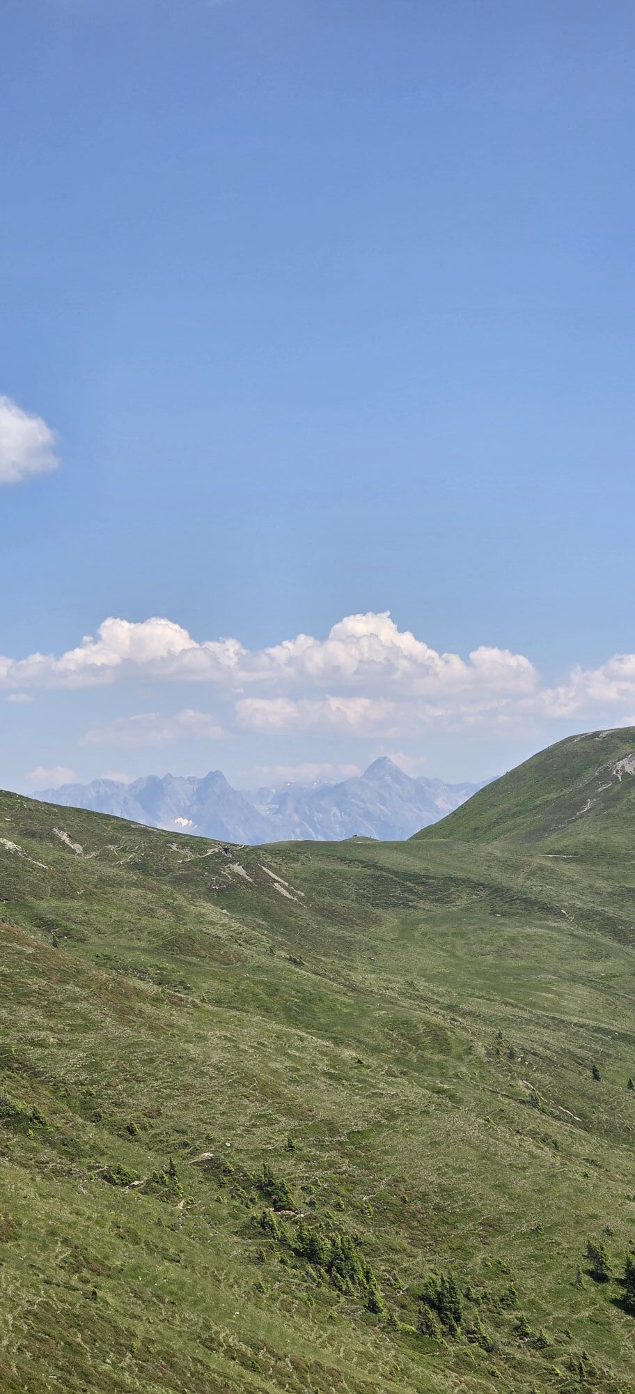
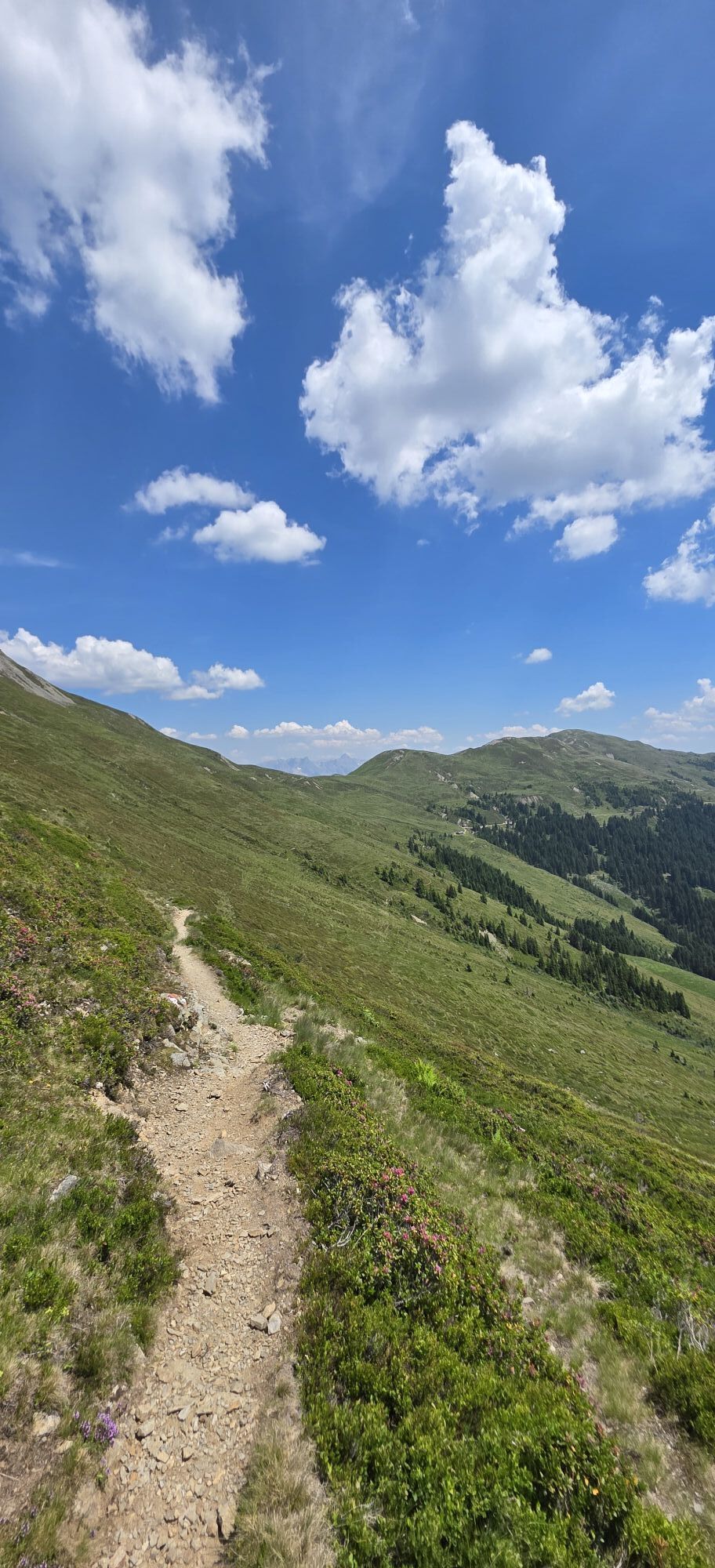
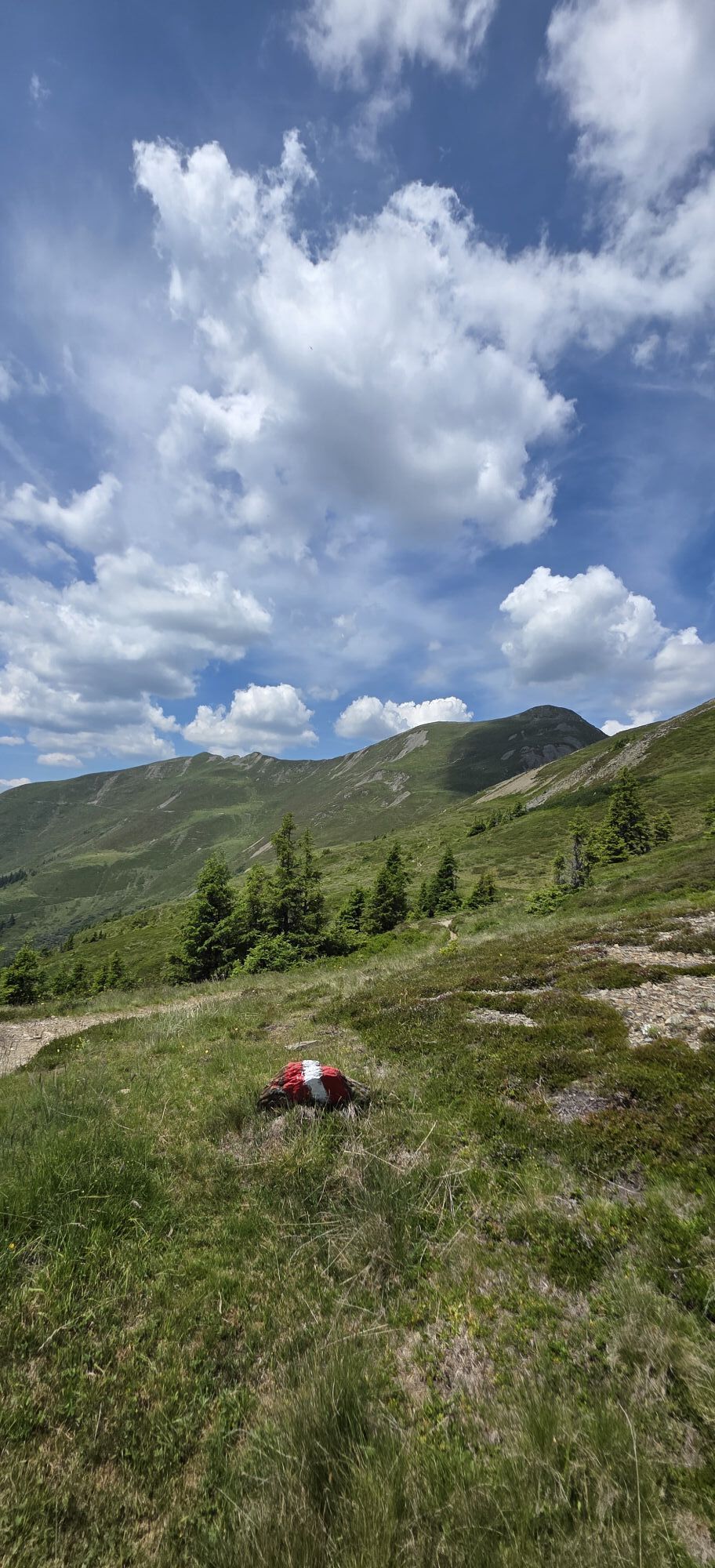
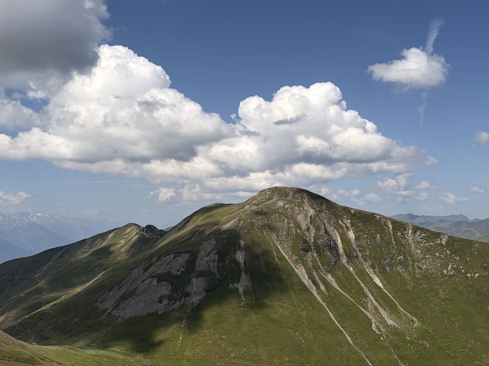
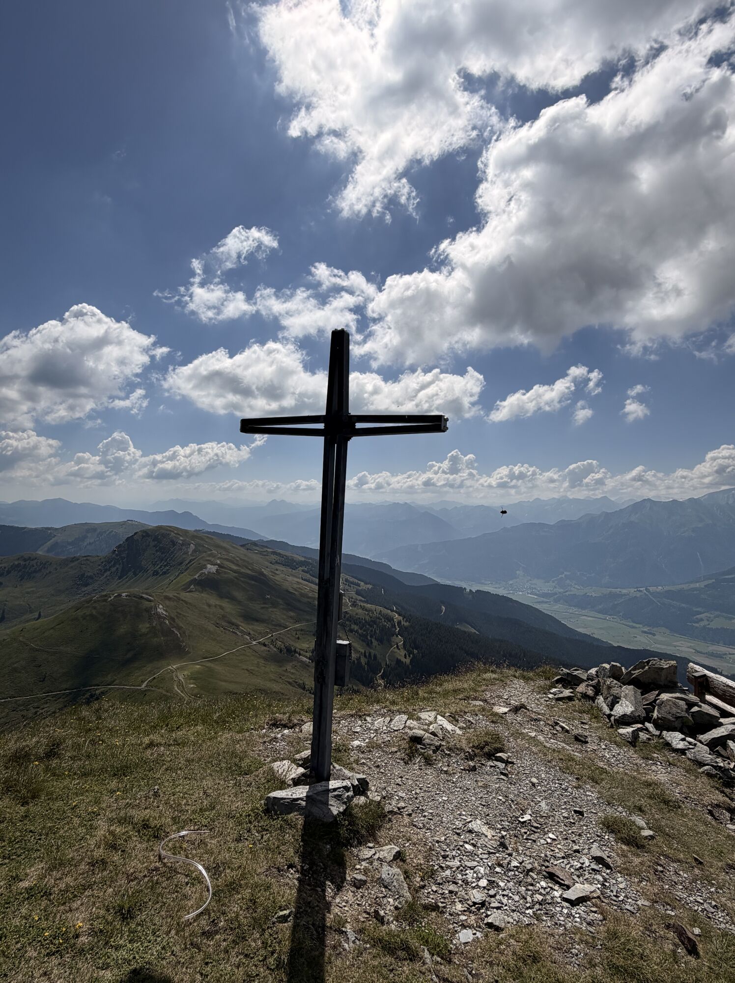
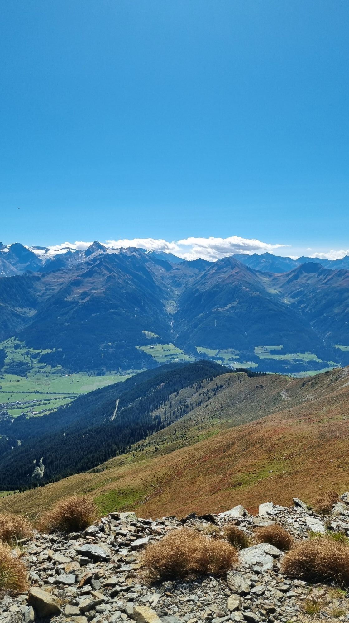
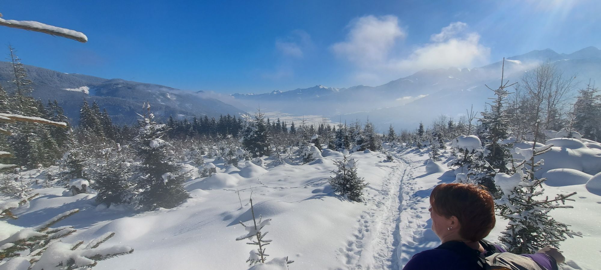
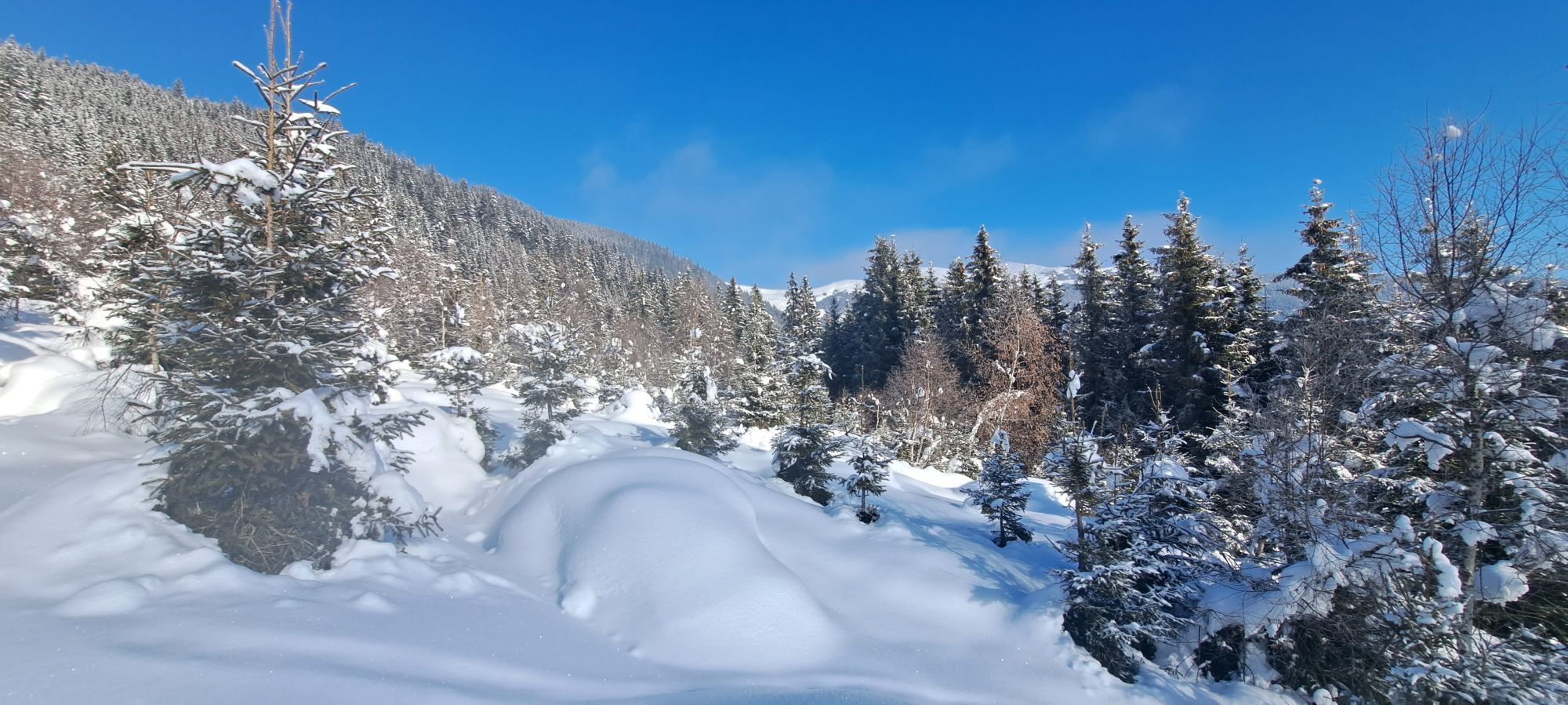
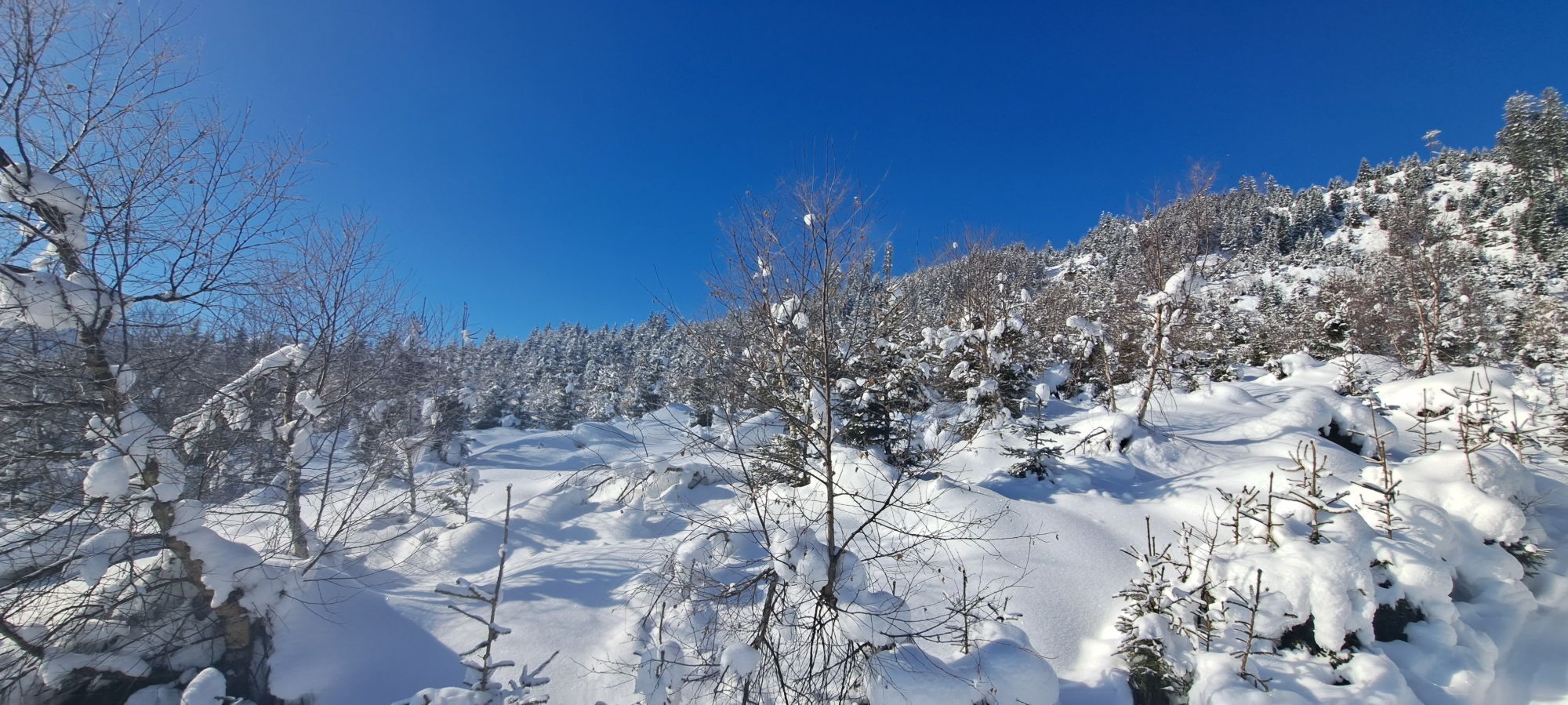
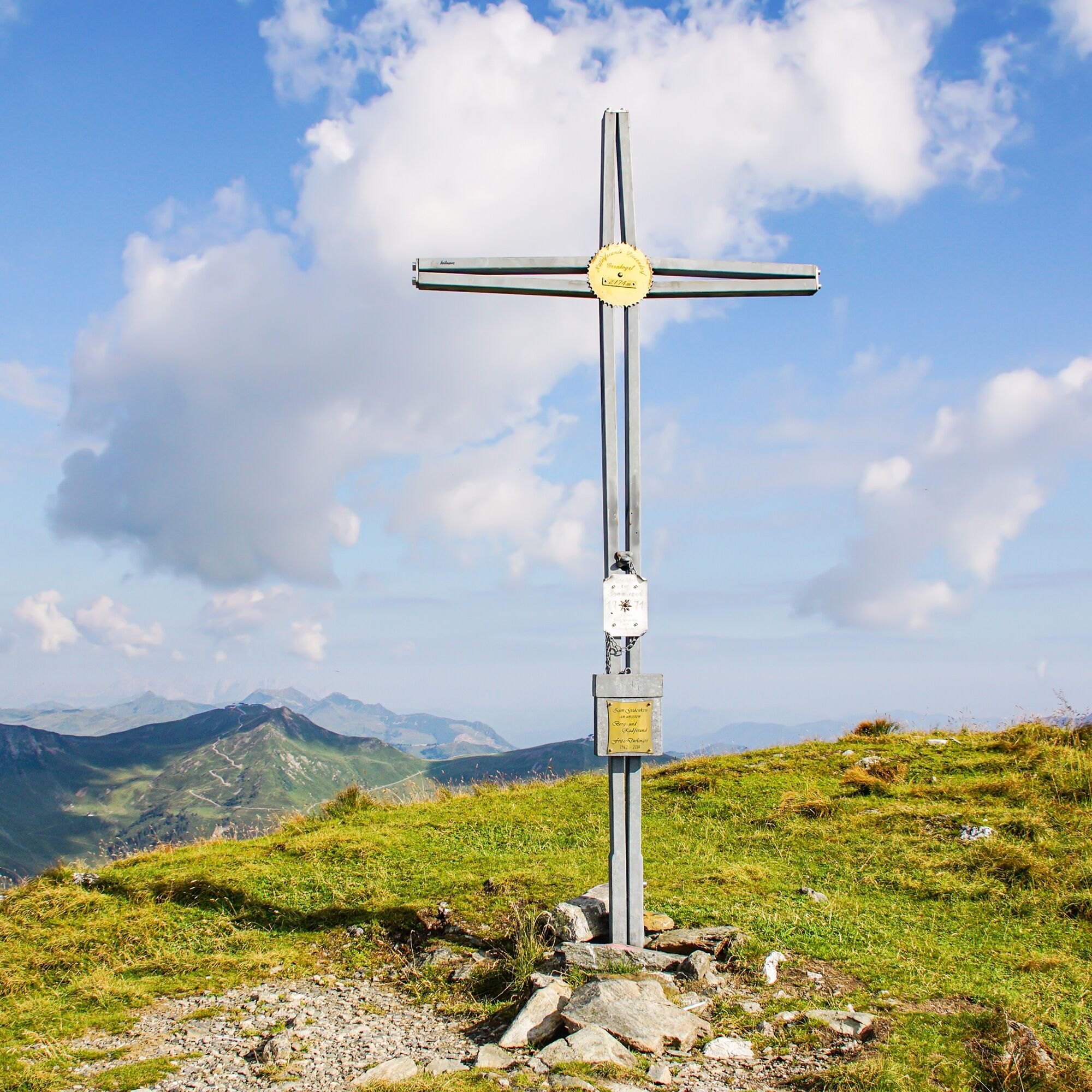
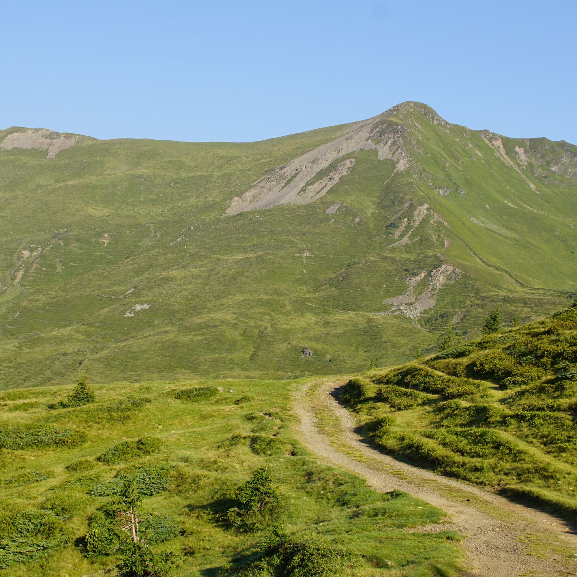
Once you reach the summit (2,175 m), you will be rewarded with a Salzburg box seat with a distant view: the view up to the Großvenediger is fantastic.
Trasa
Walchen
(794 m)
Dedina
0,0 km
Bubenreuther Hütte
(950 m)
Úkryt
0,7 km
Jausenstation Nagelbauer
(1 051 m)
Reštaurácia
2,3 km
Niederer Gernkogel
(2 153 m)
Summit
8,6 km
Oberer Gernkogel
(2 175 m)
Summit
9,2 km
Naglköpfl
(1 090 m)
Summit
16,2 km
St. Ulrich
(795 m)
Miesto uctievania
18,5 km
Trasa
Piesendorf: Oberer-Gernkogel über Niederer-Gernkogel
stredná
Turistika
19,08
km
Walchen
(794 m)
Dedina
0,0 km
Bubenreuther Hütte
(950 m)
Úkryt
0,7 km
Jausenstation Nagelbauer
(1 051 m)
Reštaurácia
2,3 km
Niederer Gernkogel
(2 153 m)
Summit
8,6 km
Oberer Gernkogel
(2 175 m)
Summit
9,2 km
Jausenstation Nagelbauer
(1 051 m)
Reštaurácia
15,9 km
Naglköpfl
(1 090 m)
Summit
16,2 km
St. Ulrich
(795 m)
Miesto uctievania
18,5 km
Walchen
(794 m)
Dedina
18,5 km
Autor
Poskytuje Piesendorf Niedernsill
Prehliadku Piesendorf: Oberer-Gernkogel über Niederer-Gernkogel zabezpečuje outdooractive.com.


Informácie o trase
Trasa
Starting from the parking lot in Walchen, follow trail no. 6 along the Schiliftstraße and the Rohrerberg road, past the Naglbauer to Röderlehen. From here, continue along the forest road and after approx. 250 m, turn right onto hiking trail 19 and 748. This leads you over the Rohrerberg to the Niederer-Gernkogel and further over the hilltop to the Oberer-Gernkogel. Return along the same trail to the fork in the trail below Hochgitscheck. Turn left here, continue along trail no. 19 to the Naglbauer and then follow the Kulturlandschaftsweg trail back to the starting point.
Parking lot Naglbauer - hiking time approx. 6.5 hours (there & back)
Prehliadka vrcholu
Áno
Zariadenie
Ankle-high hiking boot, snacks & drinks, backpack, rain protection & mobile phone
Bezpečnostné pokyny
Dear nature lovers!
We hope that the snacks and drinks you take with you on your hike will give you the strength to carry back the packaging material and empty cans and bottles.
We hope that the snacks and drinks you take with you on your hike will give you the strength to carry back the packaging material and empty cans and bottles.
We kindly ask you to observe the Fair Play & Rules of Conduct!
Fairness and mutual consideration form the basis for a common together and the protection of the various interests in the natural region!
Informácie o príchode
Verejná doprava
Parkovanie
Sufficient parking spaces are available at the parking lot in the Schiliftstraße in Walchen.
Ďalšie informácie a tipy
Ďalšie informácie
Zatiaľ žiadne recenzie
Webové kamery z prehliadky

Všetky webové kamery na mape
Nainštaluj si aplikáciu zadarmo a porovnaj živé zábery z viacerých miest, než vyrazíš.
Využite službu „ bergfex “ už teraz v aplikácii
Naskenuj QR kód pomocou fotoaparátu
Ak máte aplikáciu nainštalovanú, obsah sa otvorí priamo. Ak aplikáciu ešte nemáte, budete presmerovaní na stránku, kde si ju môžete bezplatne stiahnuť.
Obľúbené výlety v okolí
-
4,2
Maurerkogel (Top)
Turistika 10,5 km -
4,7
Panorama route 3 peaks and 2 lakes
strednáTuristika 7,21 km -
5,0
Leo’s play hiking trail
svetloTematická trasa 4,89 km -
4,1
Berg der Sinne
svetloTuristika 4,39 km -
4,6
Sigmund Thun Klamm, Klammsee, Bürgkogel
svetloTuristika 4,56 km -
4,6
Thumersbach, Runde um den Zeller See
svetloTuristika 13,3 km -
4,9
Hochsonnberg Runde
strednáMountainbike 59,8 km -
4,4
Sigmund Thun Klamm
svetloTuristika 3,10 km -
4,8
Schmittenhöhe - Hochsonnbergalm - Pinzgauer Hut
strednáTuristika 9,09 km -
4,9
10D Hochsonnbergrunde
strednáMountainbike 26,4 km
Turistika a stopovanie

Viac ako 550.000 návrhov výletov, podrobné mapy a intuitívny plánovač trás robia z aplikácie povinnú výbavu pre všetkých nadšencov prírody.

Nenechajte si ujsť ponuky a inšpiráciu na ďalšiu dovolenku
Prihlásiť sa k odberu noviniek
Chyba
Vyskytla sa chyba. Prosím, skúste to znova.
Ďakujeme za vašu registráciu
Vaša e-mailová adresa bol pridaný do poštového zoznamu.
Zájazdy po celej Európe
Rakúsko
Švajčiarsko
Nemecko
Taliansko
Slovinsko
Francúzsko
Holandsko
Belgicko
Poľsko
Lichtenštajnsko
Česko
Slovensko
španielsko
Hrvaška
Bosna a Hercegovina
Luxembursko
Andorra
Portugalsko
Island
Spojené kráľovstvo
Írsko
Grécko
Albánsko
Severné Macedónsko
Malta
Nórsko
Čierna Hora
Moldavsko
Kosovo
Maďarsko
San Maríno
Rumunsko
Estónsko
Lotyšsko
Bielorusko
Cyprus
Litva
Srbsko
Bulharsko
Monako
Dánsko
Švédsko
Fínsko





