






Piesendorf: Maurerkogel

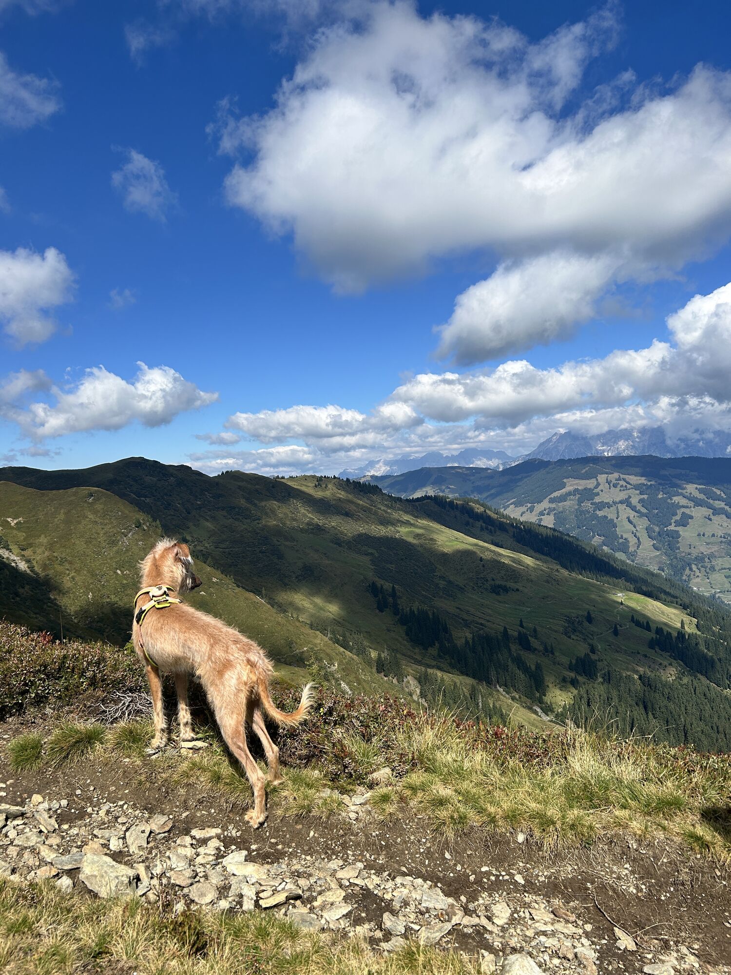
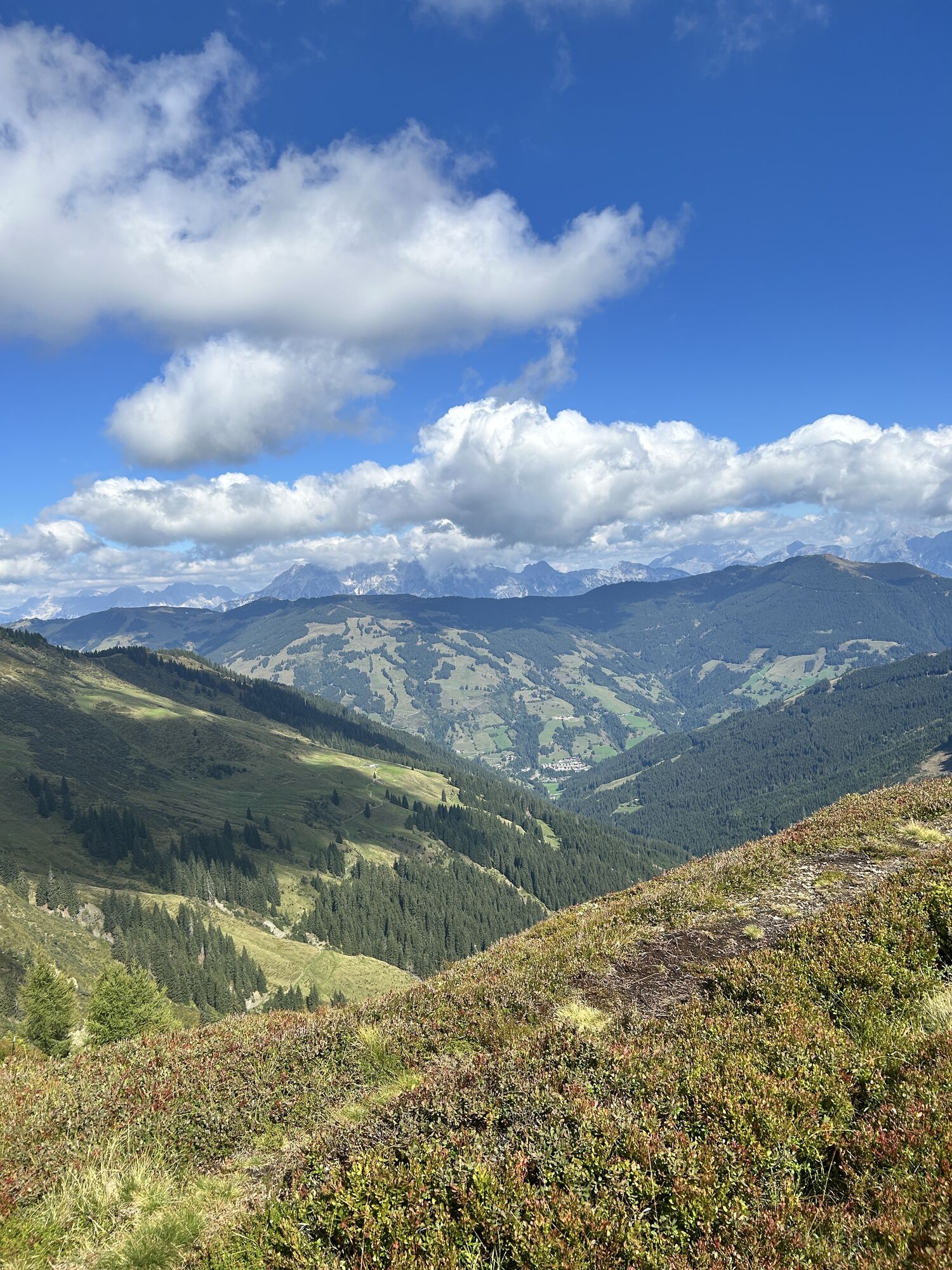
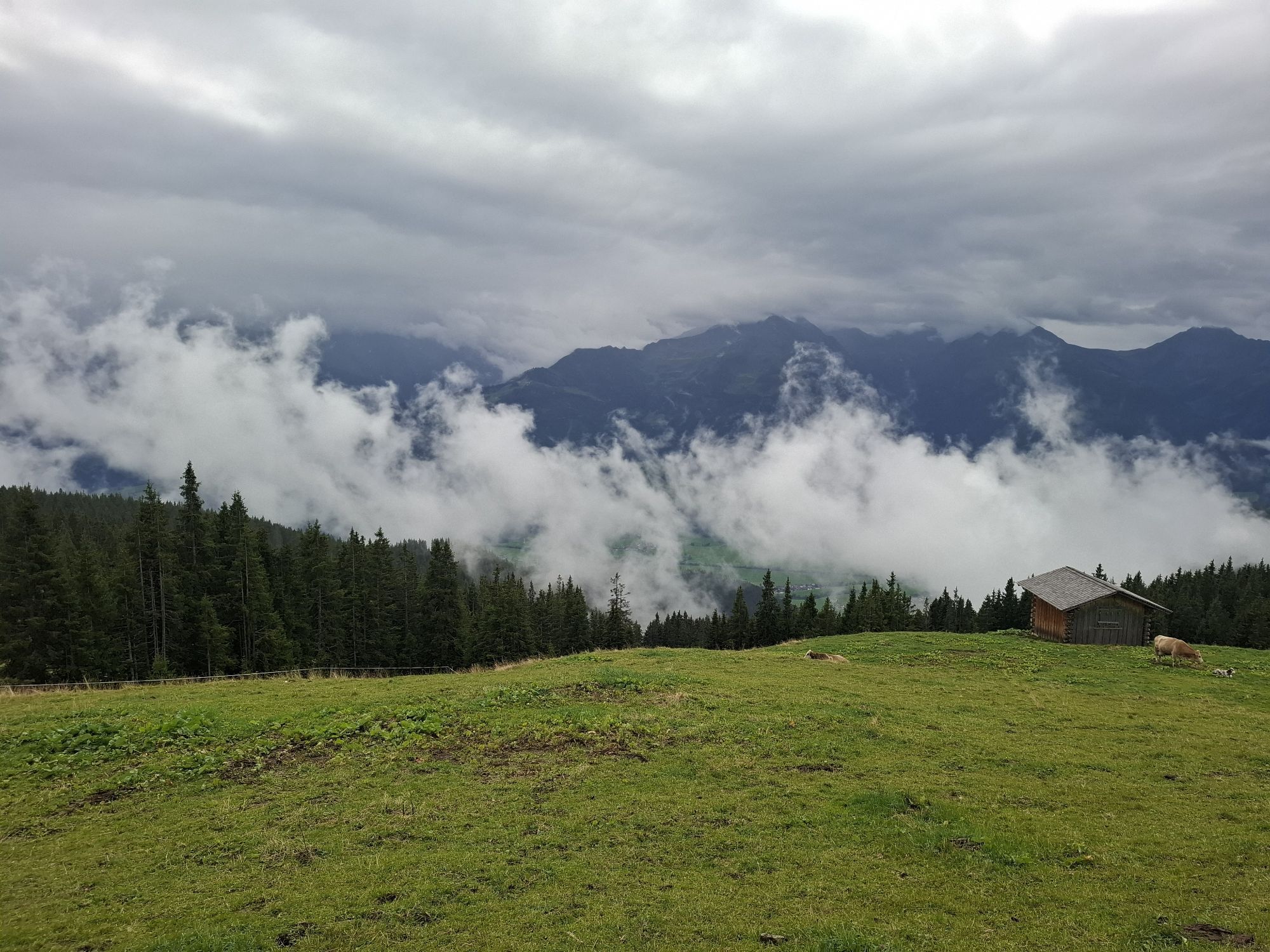
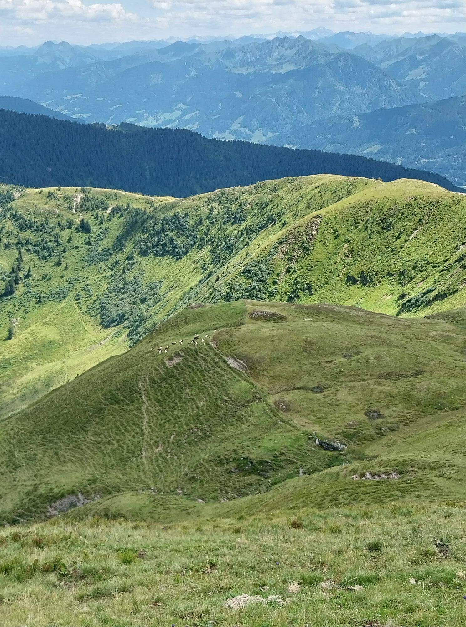
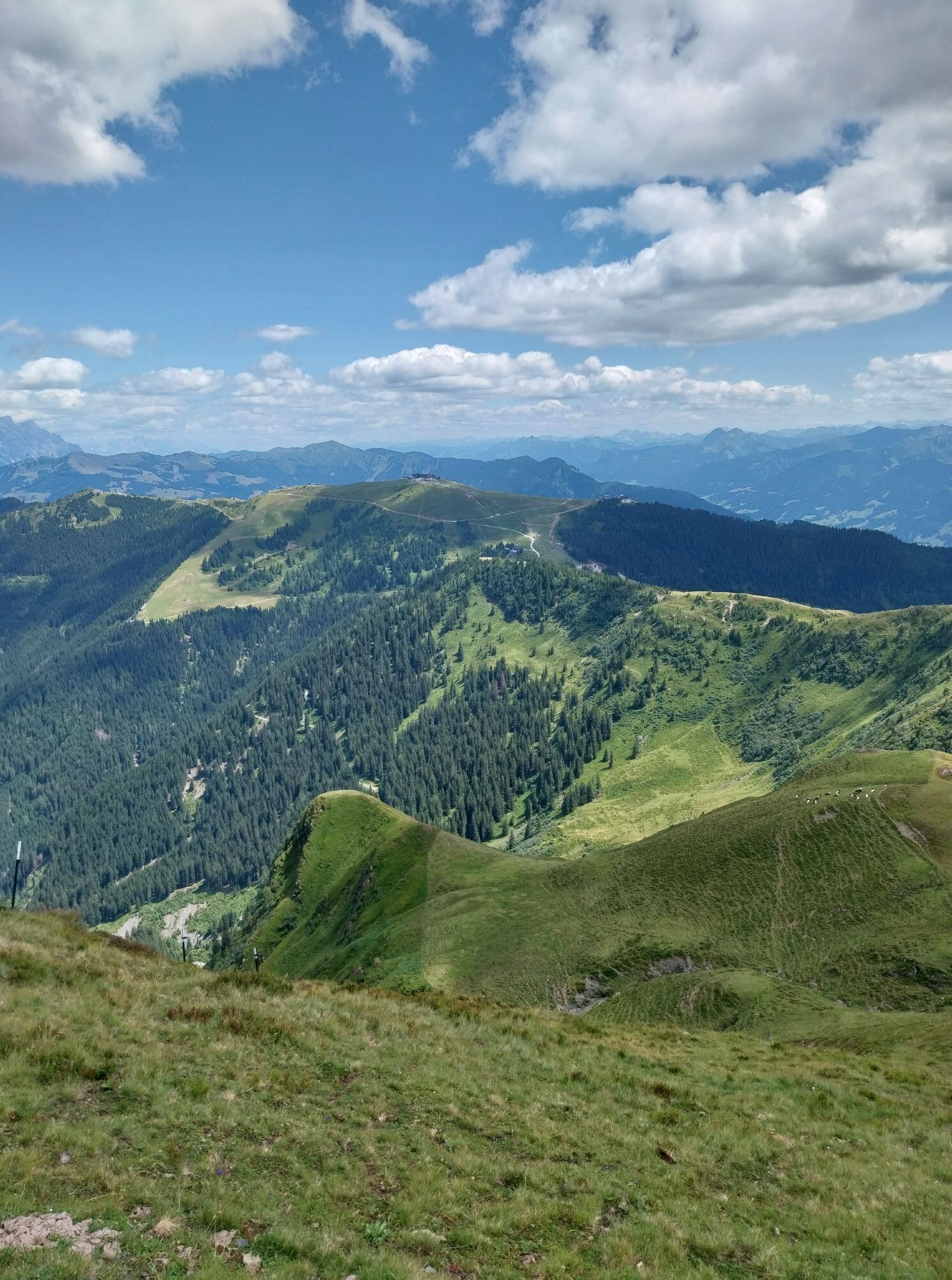
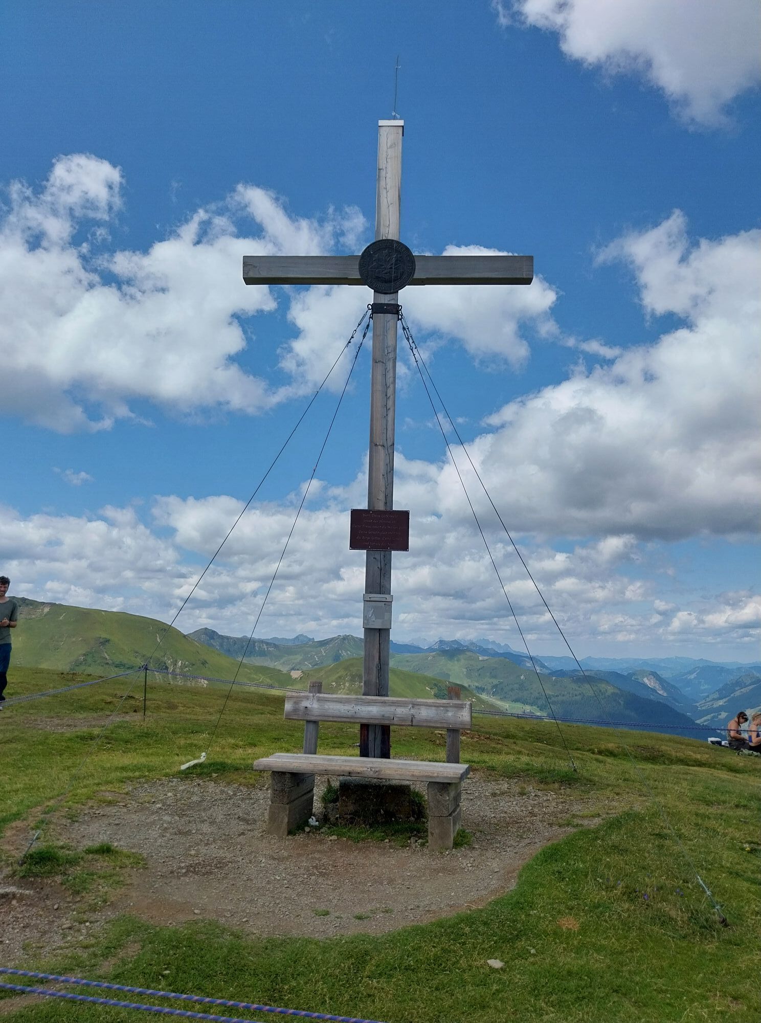
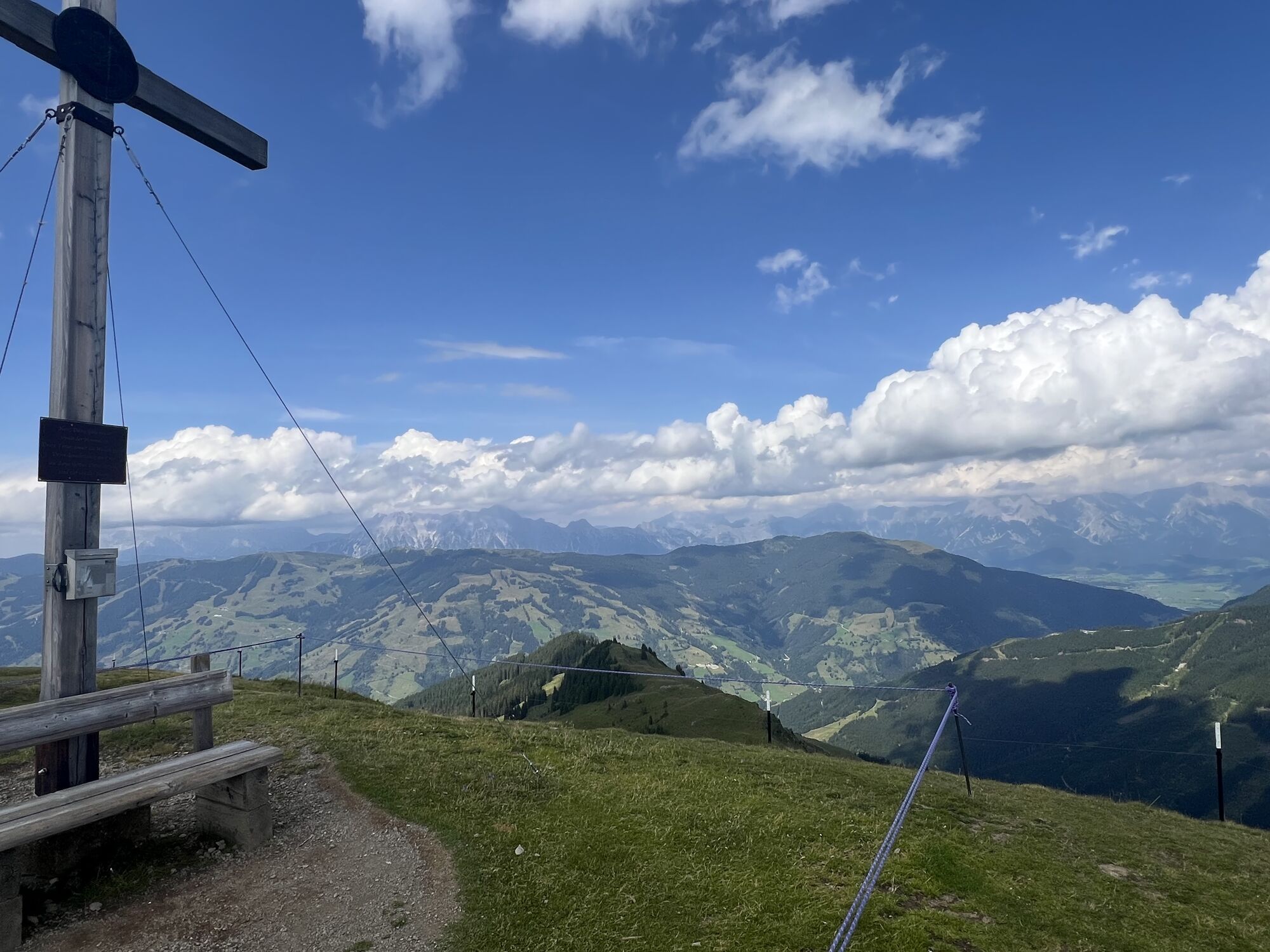
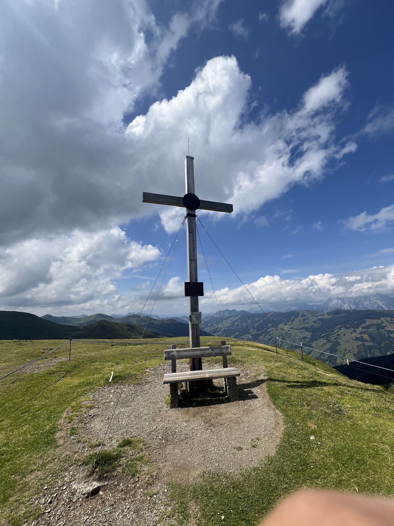
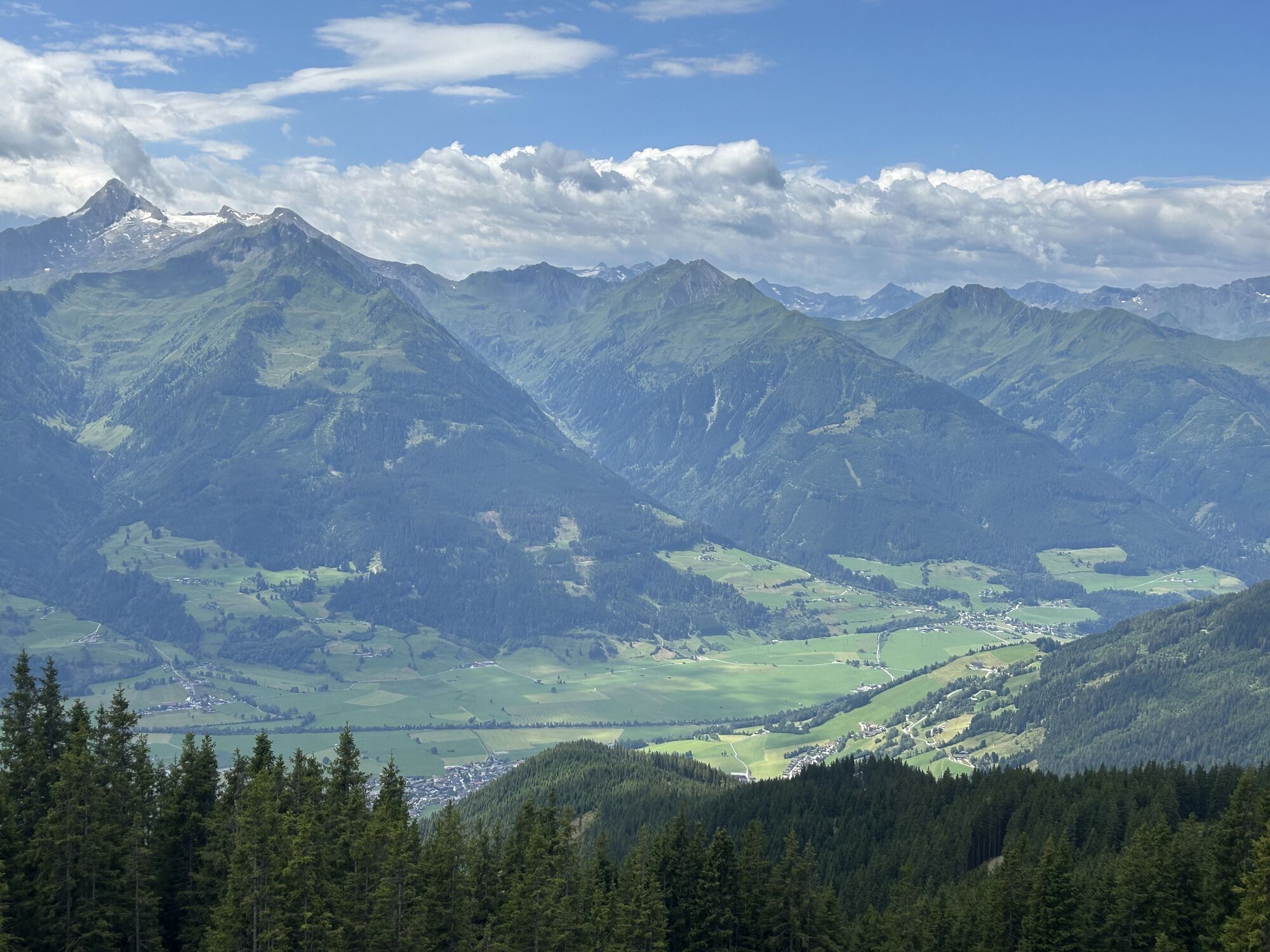
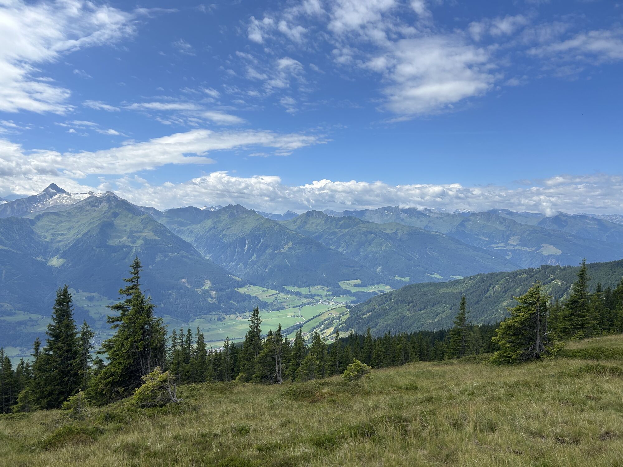
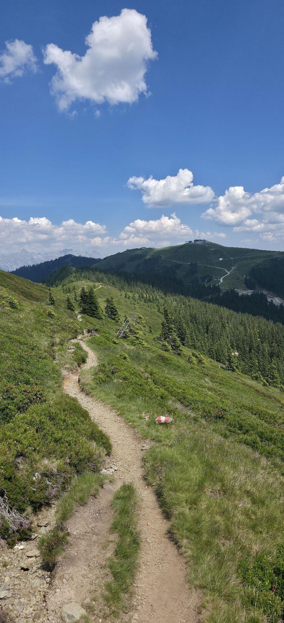
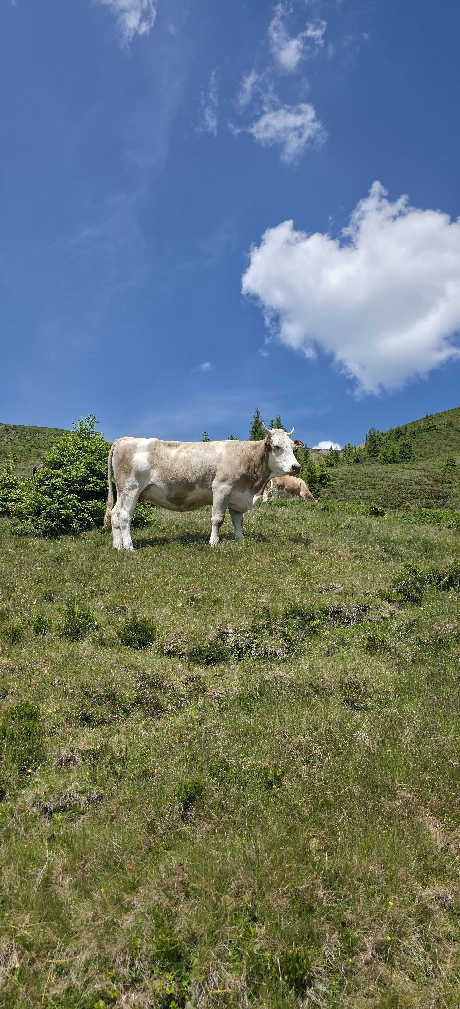
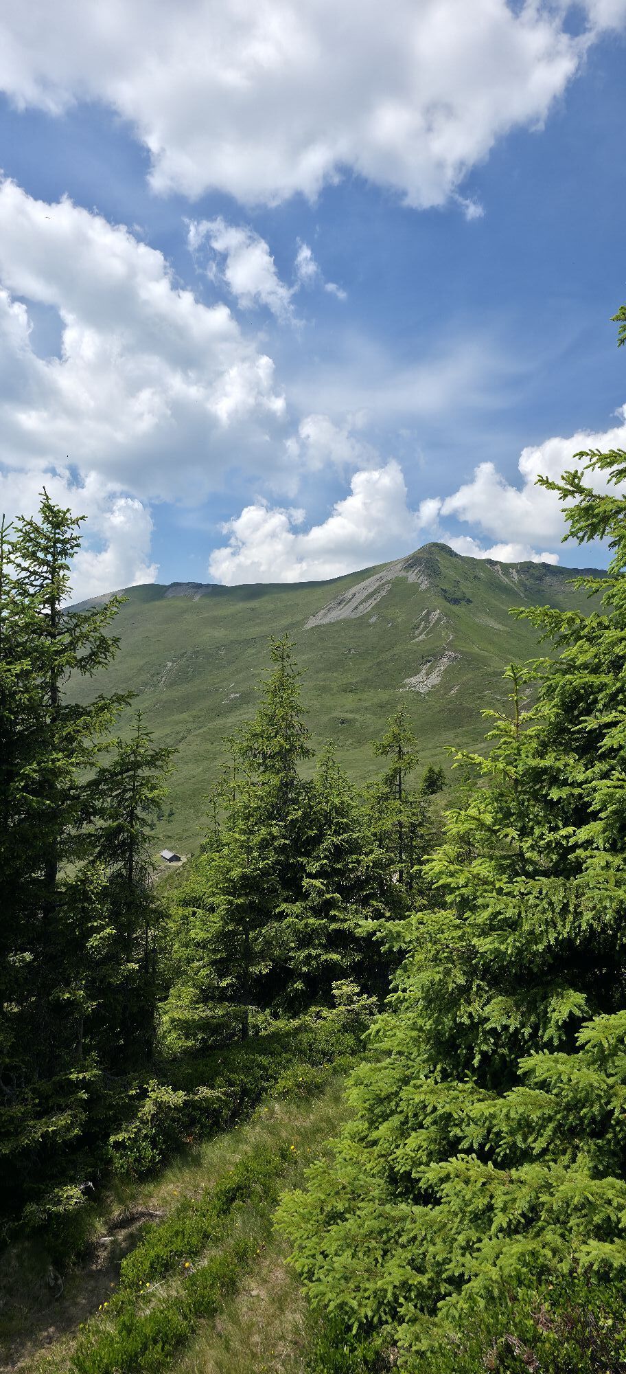
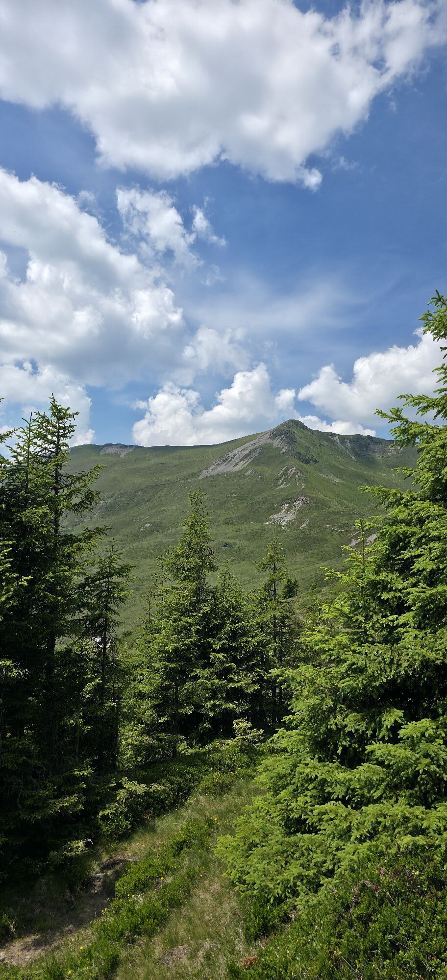
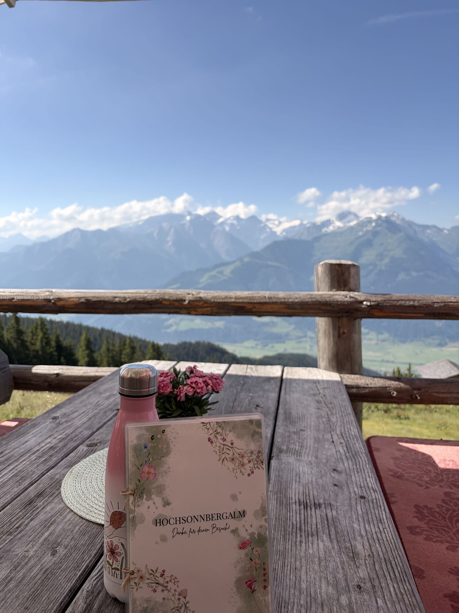
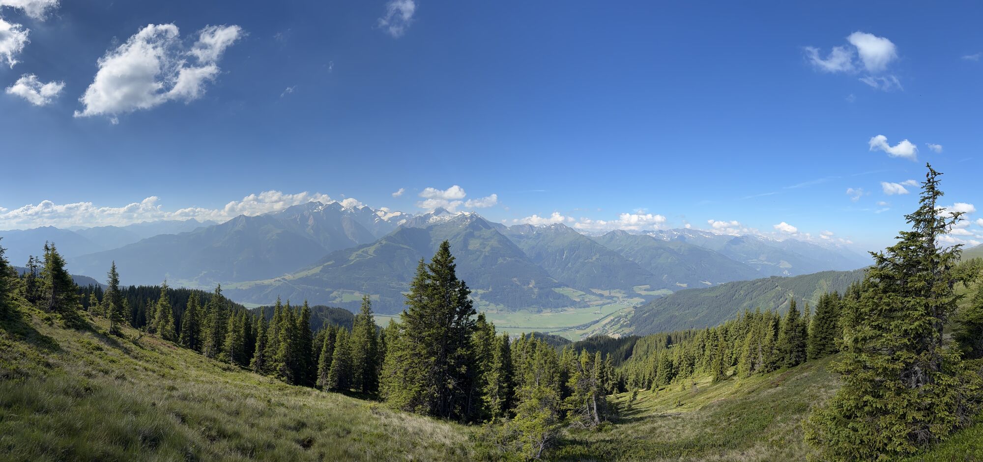
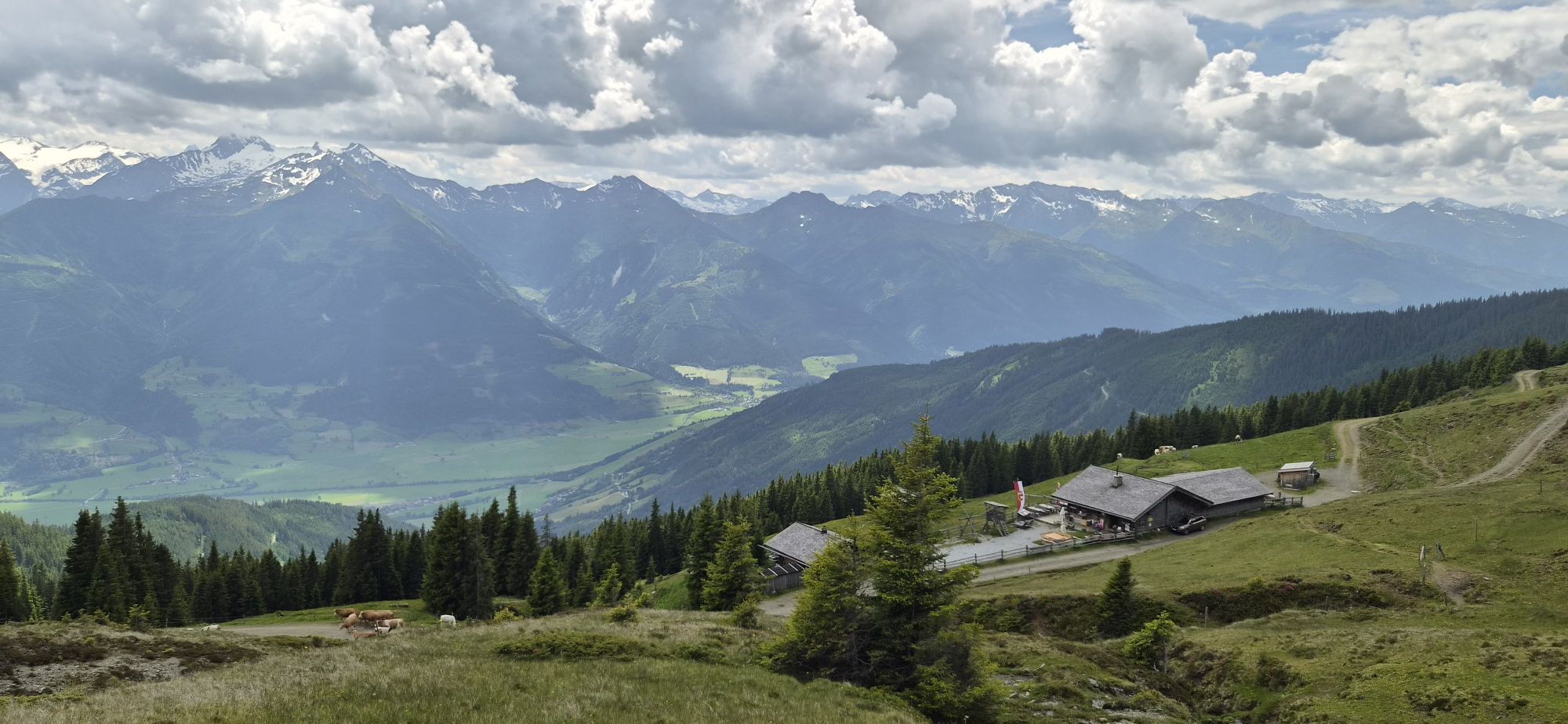
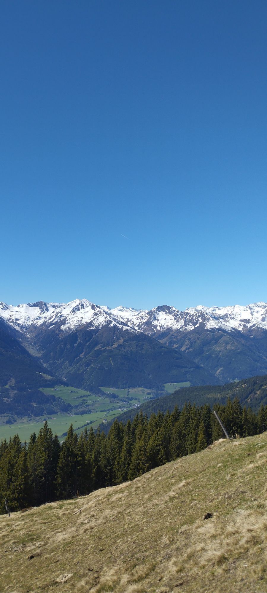
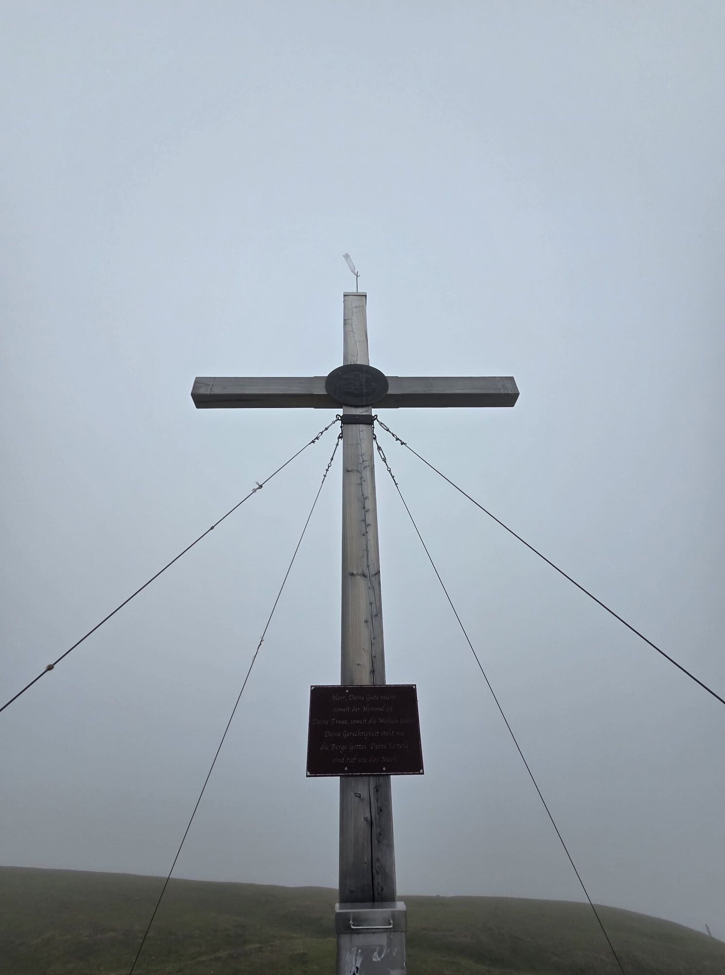
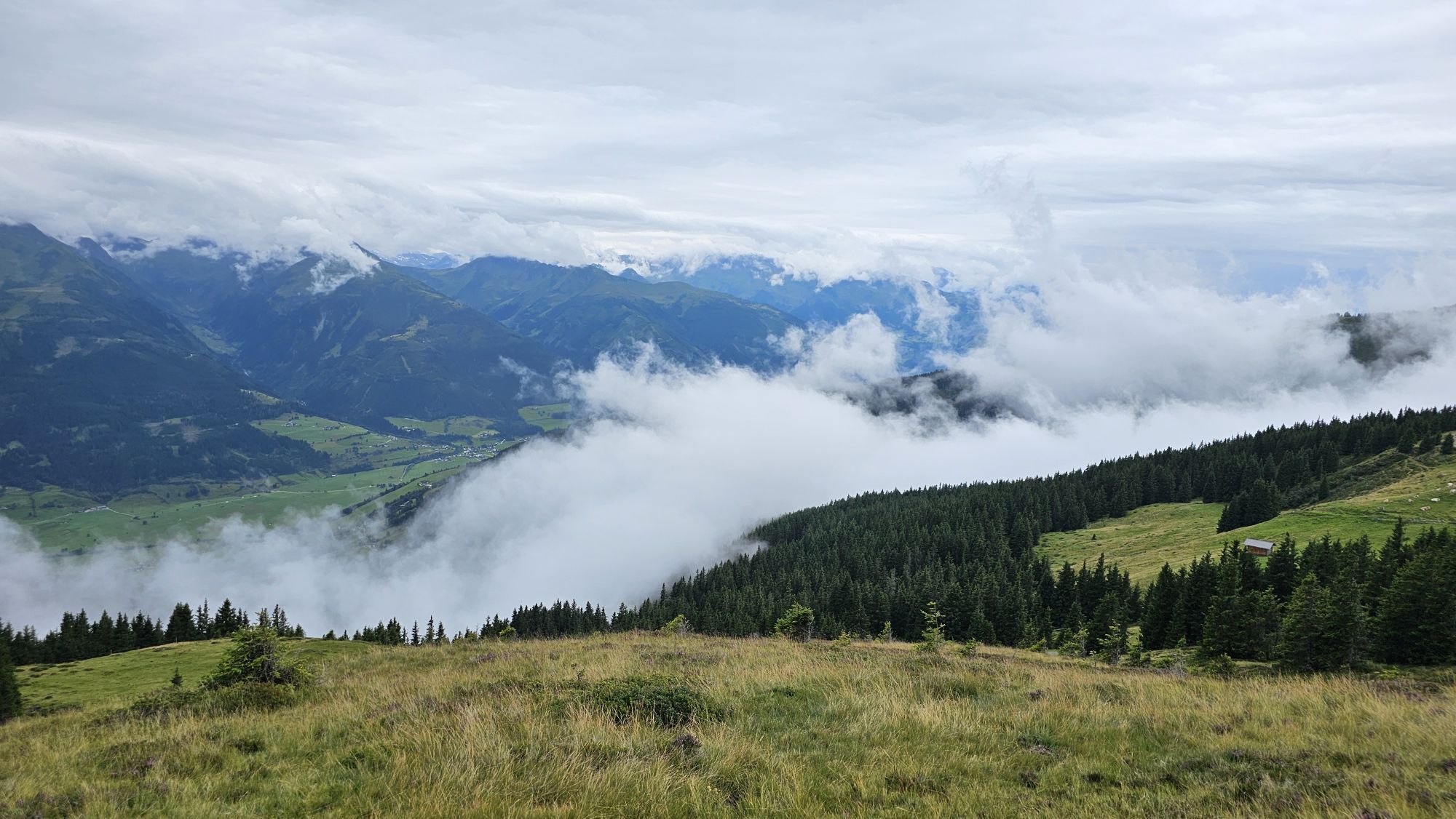
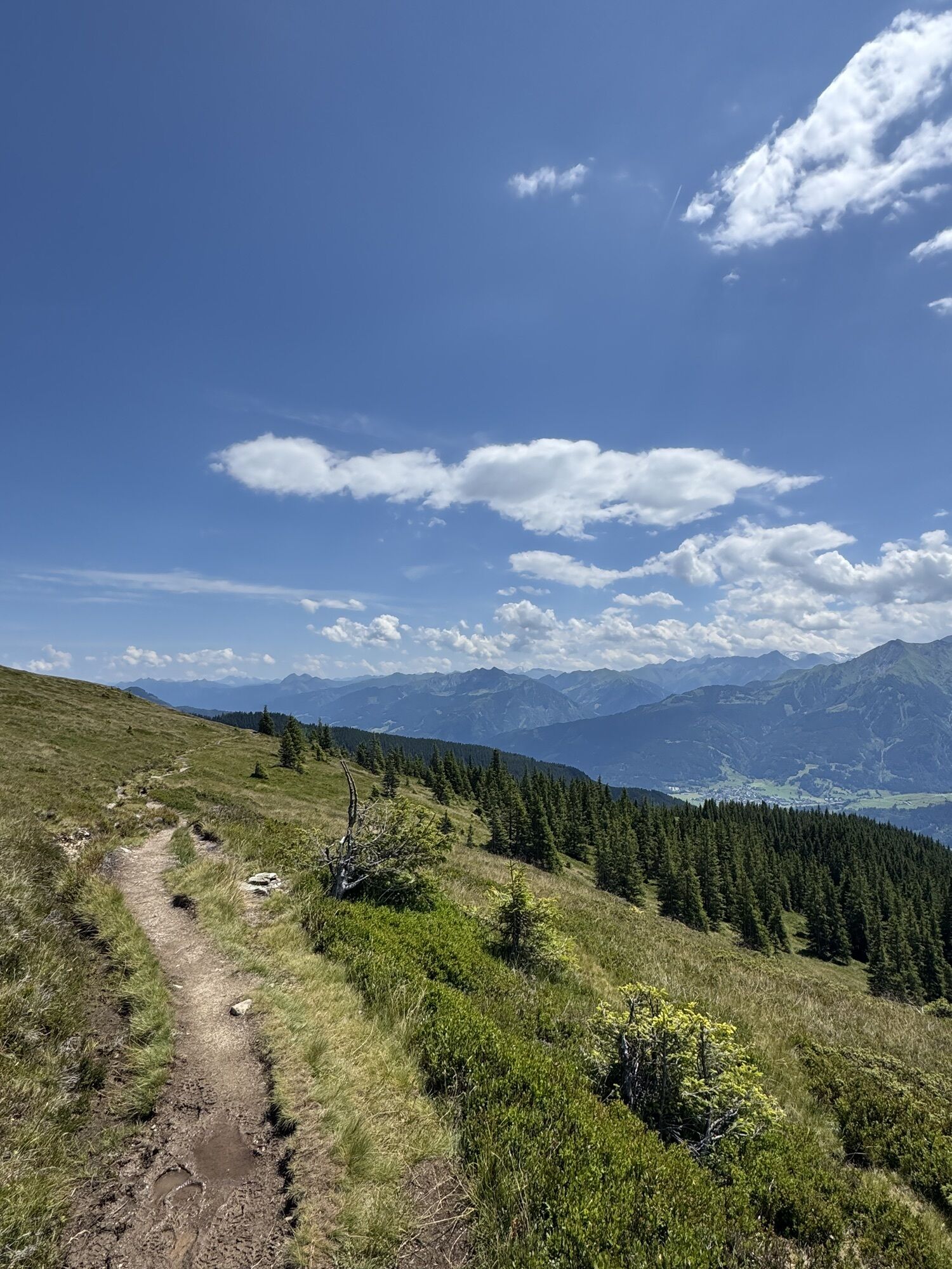
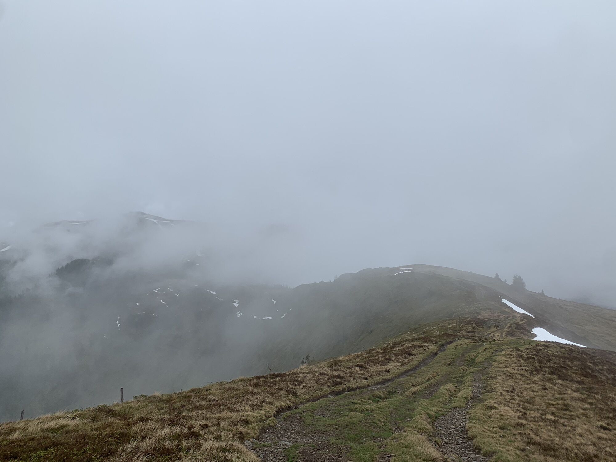
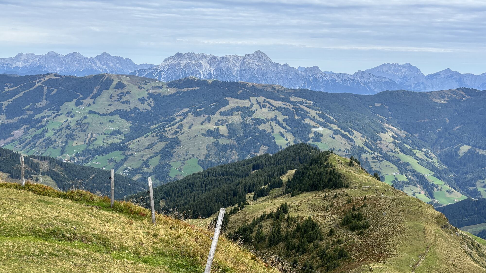
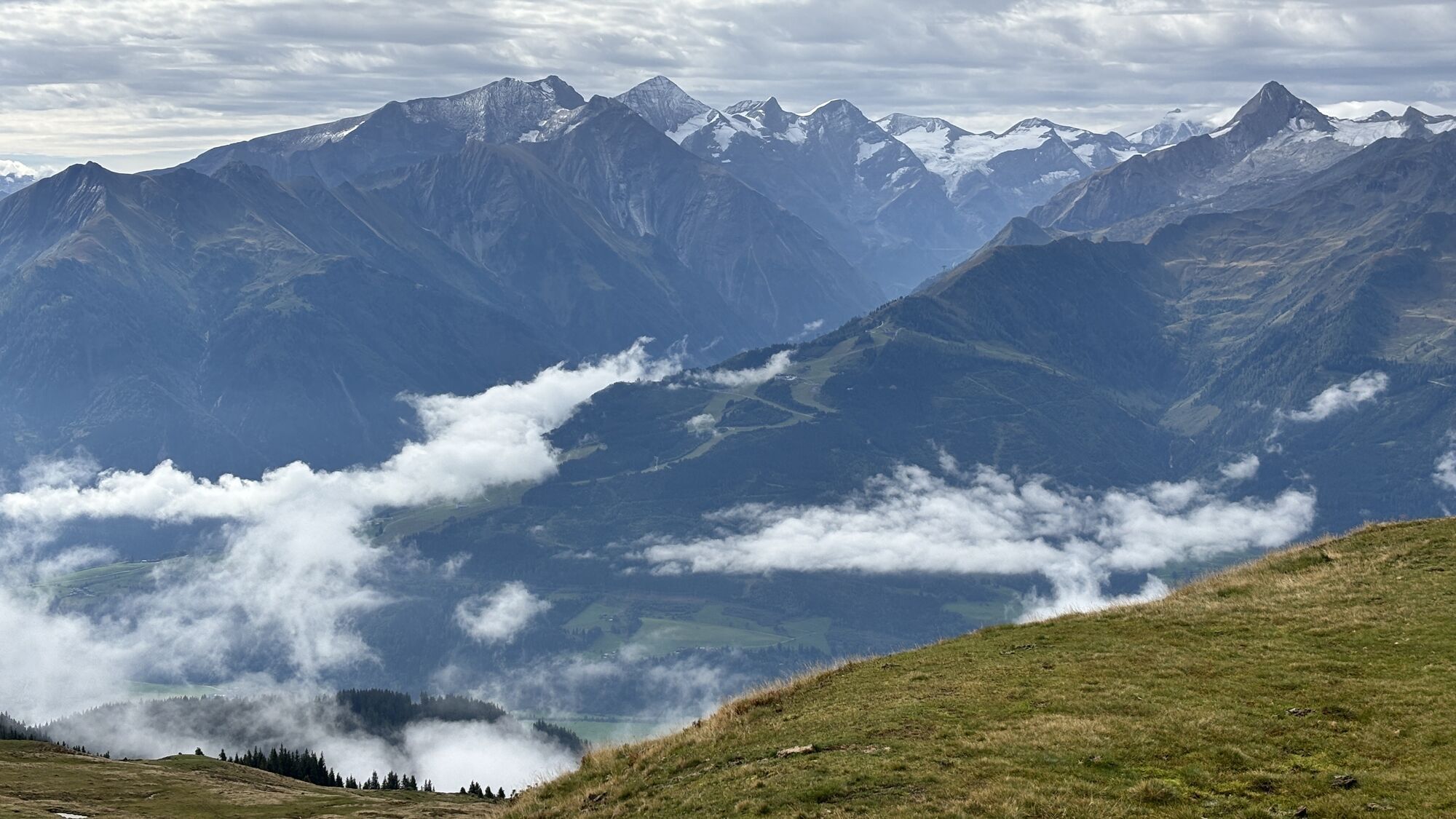
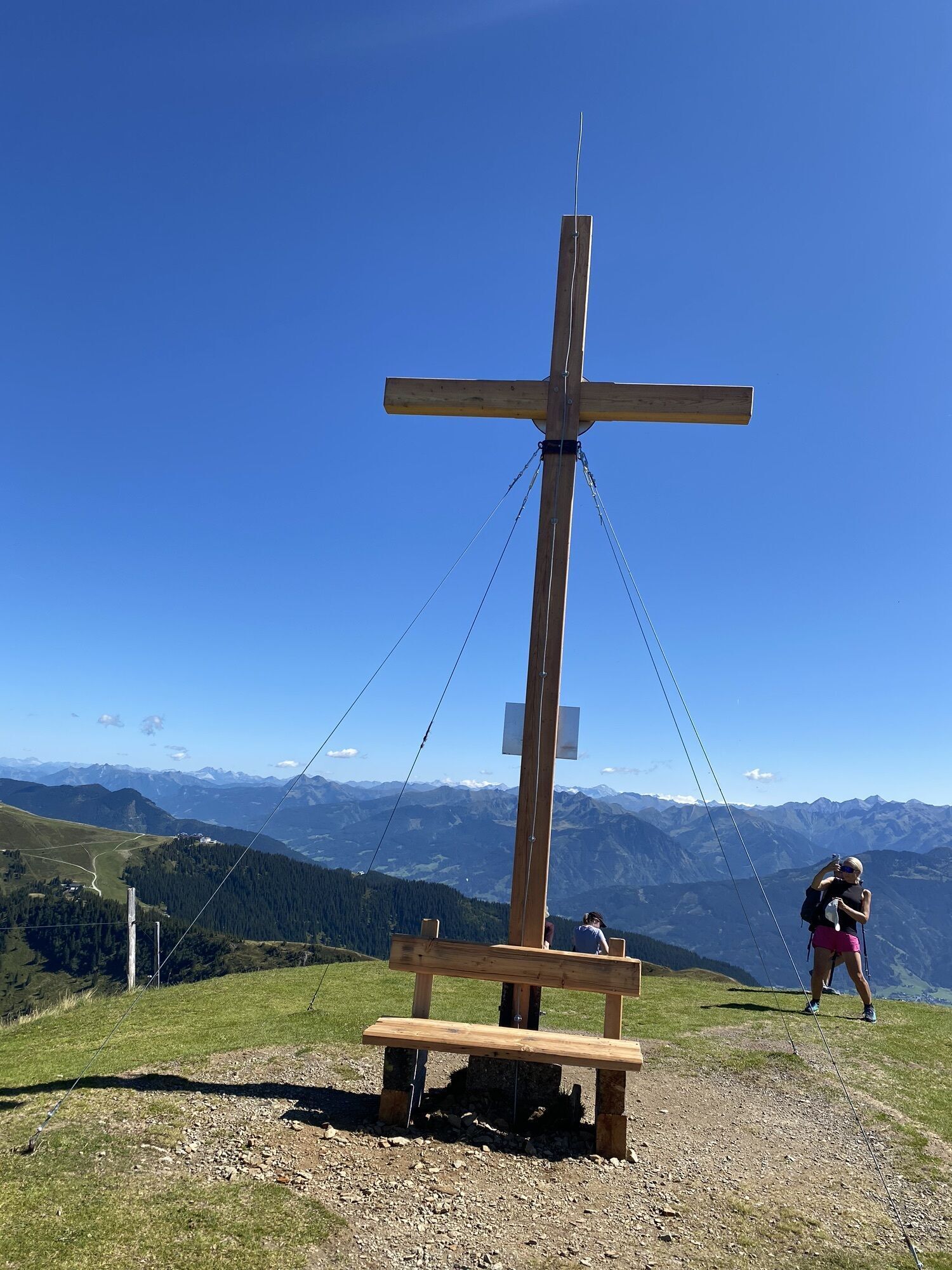
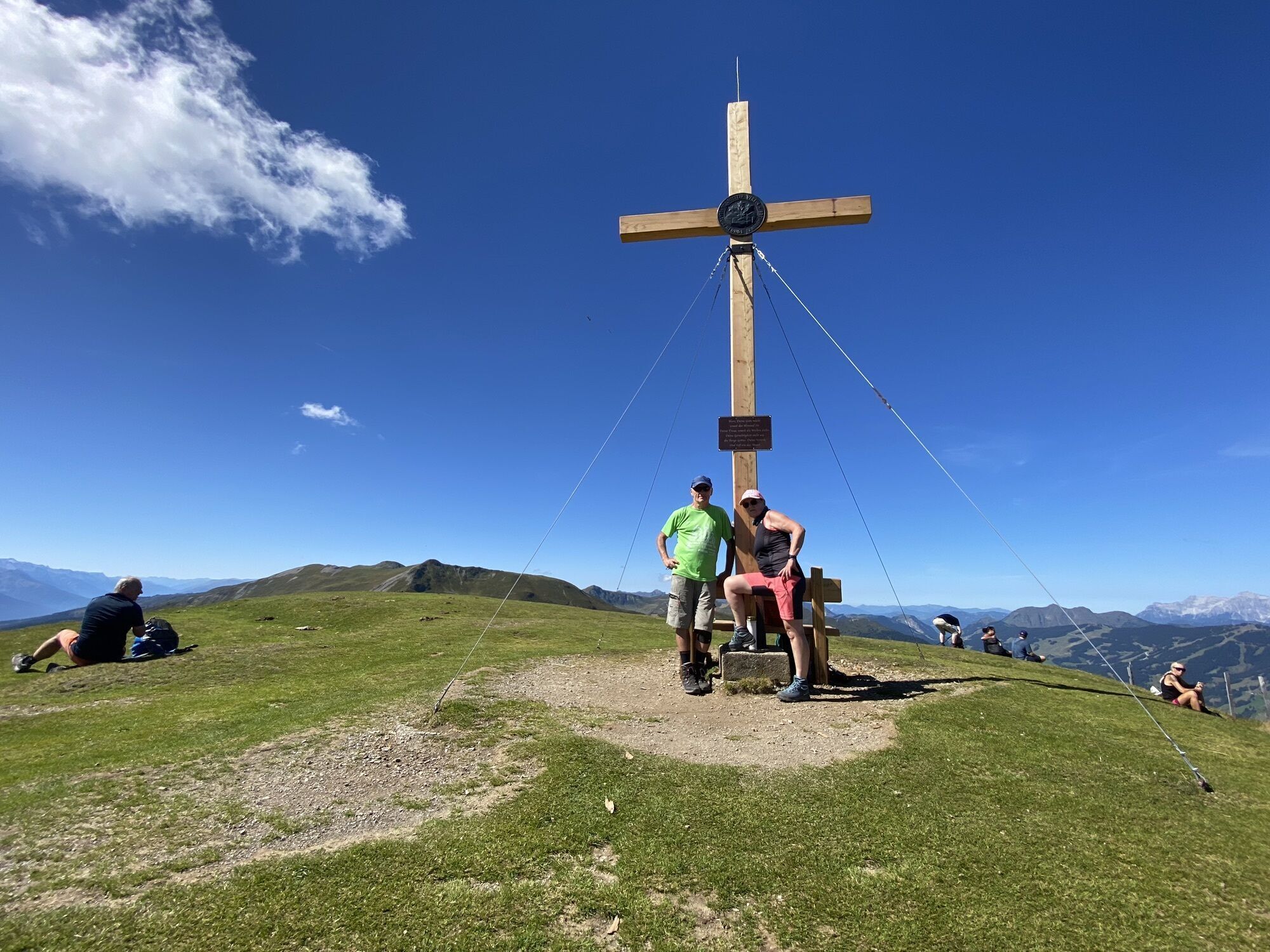
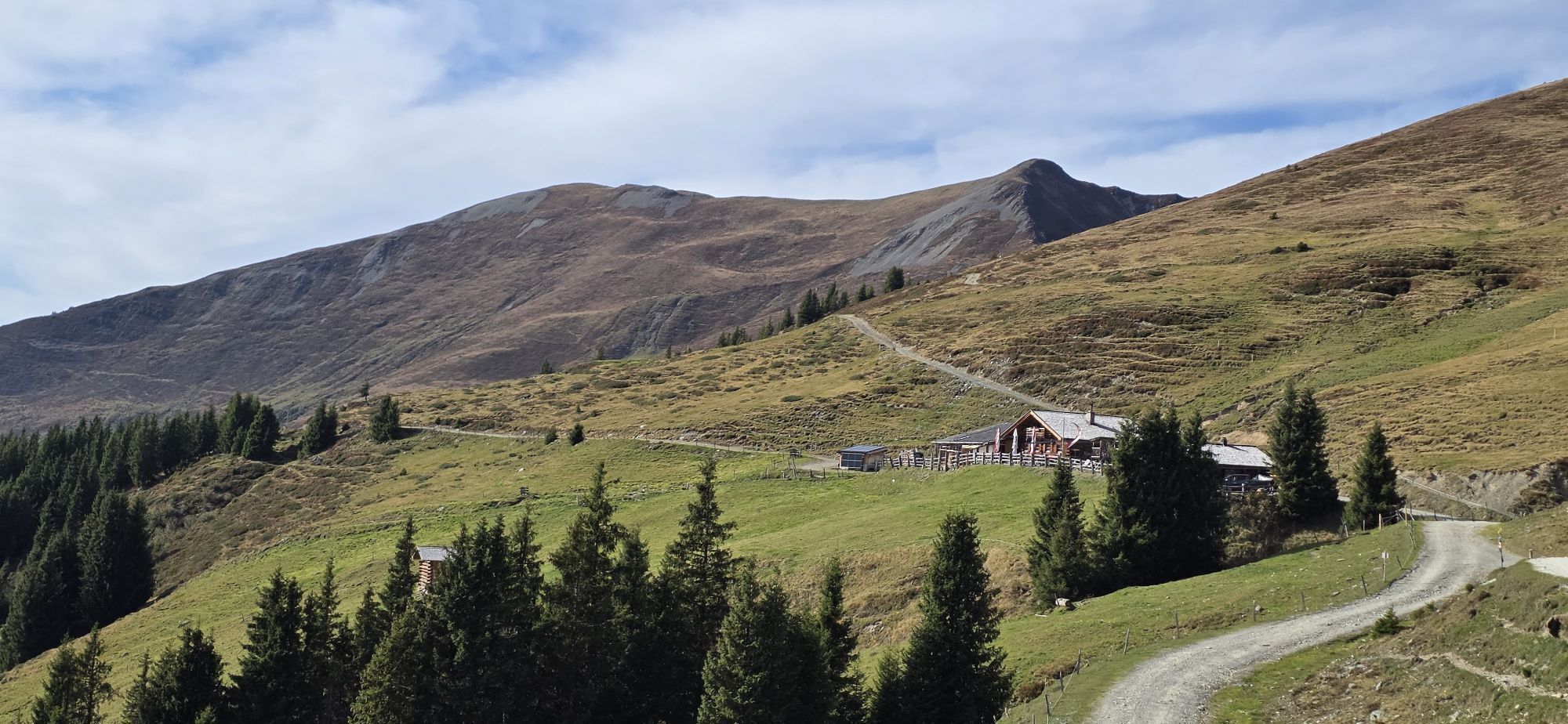
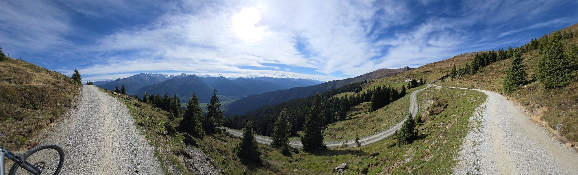
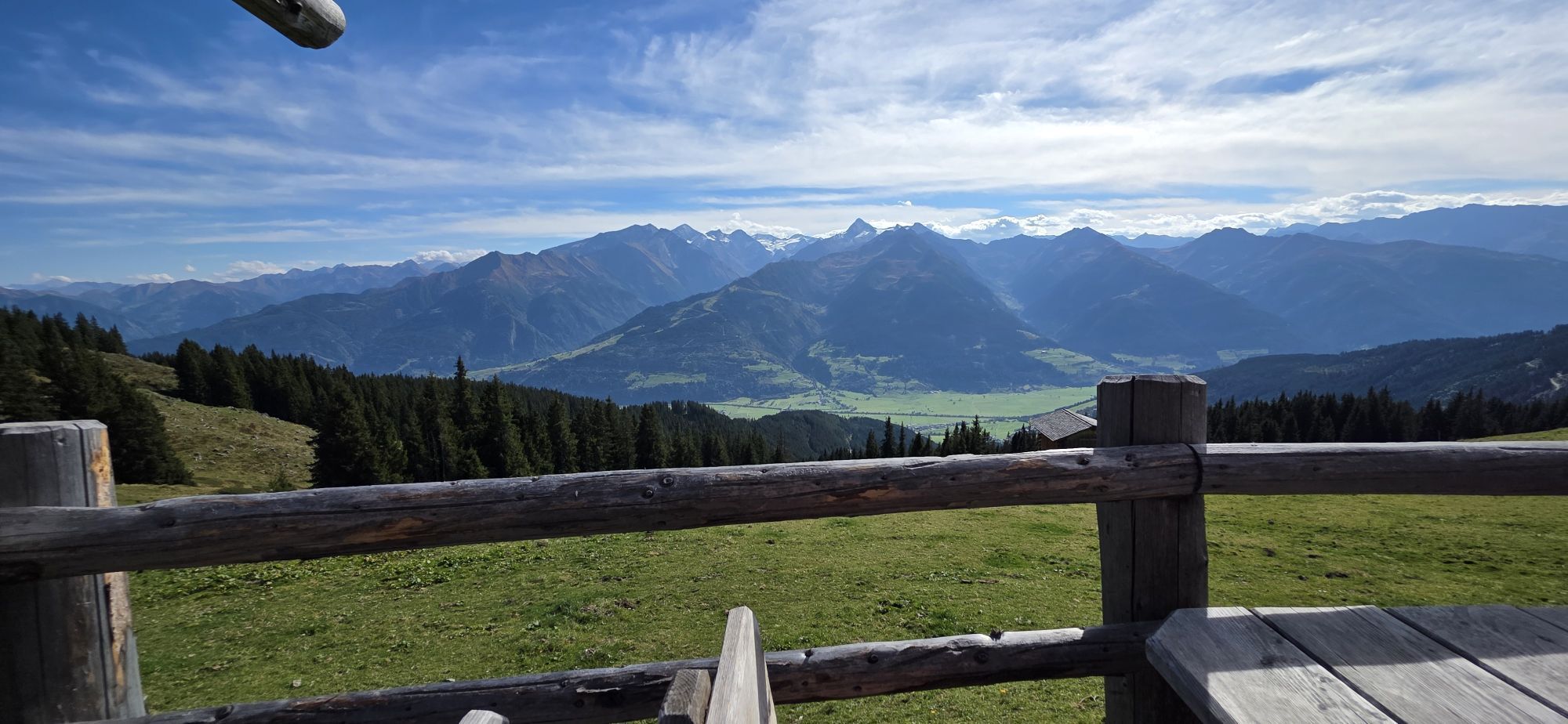
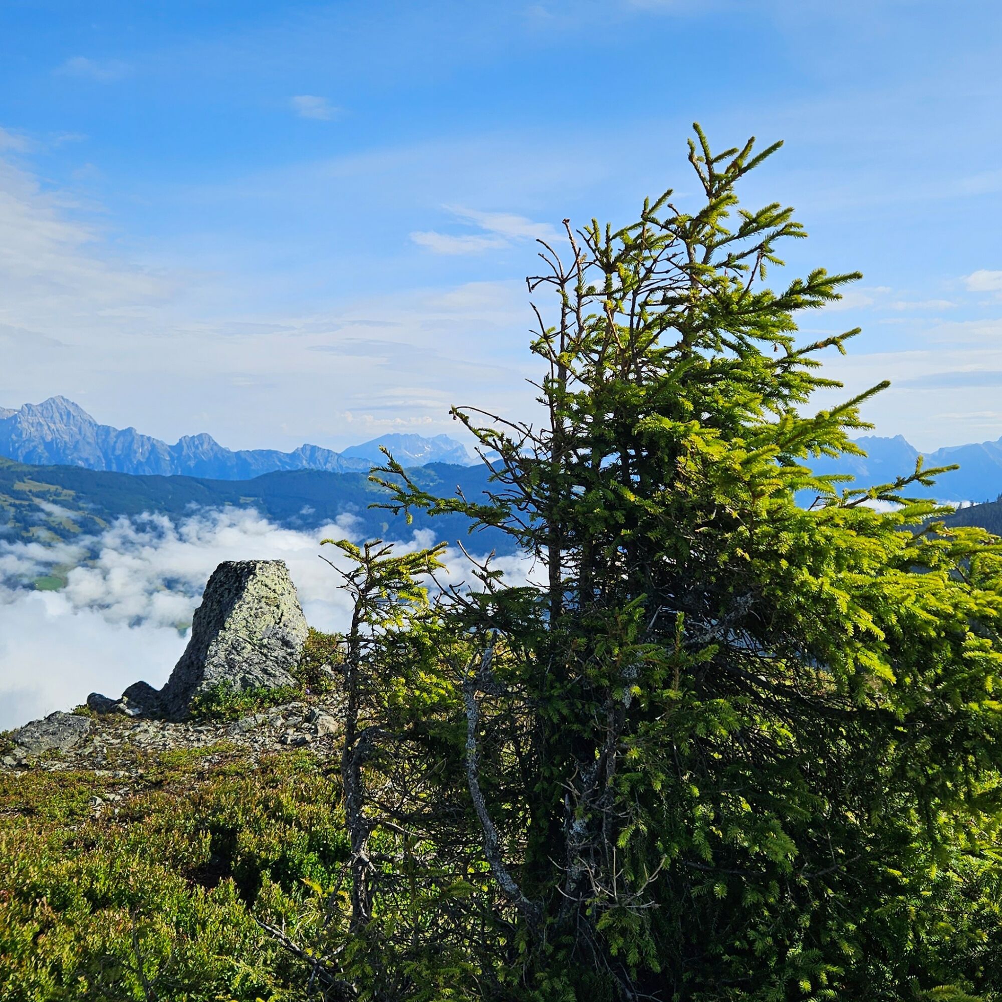
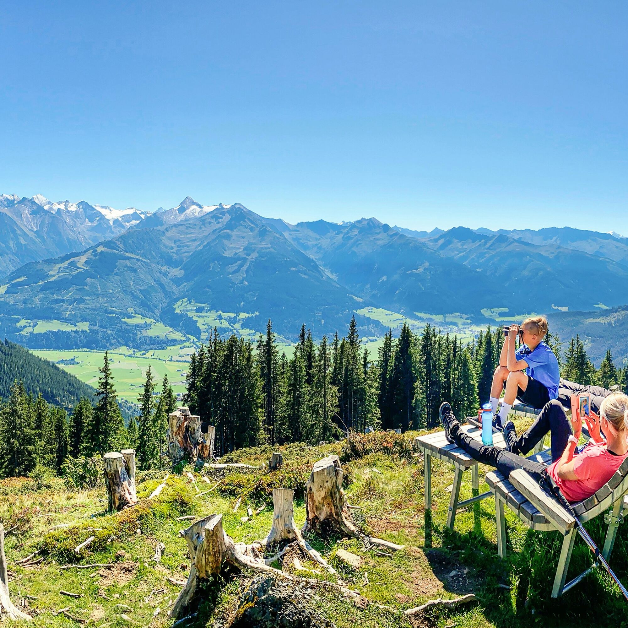
Particularly worth mentioning is the magnificent panoramic view offered by Maurerkogel: from the Hohe Tauern over the Steinernes Meer, Hochkönig to the Hundstein group - to name the most important mountain ranges.

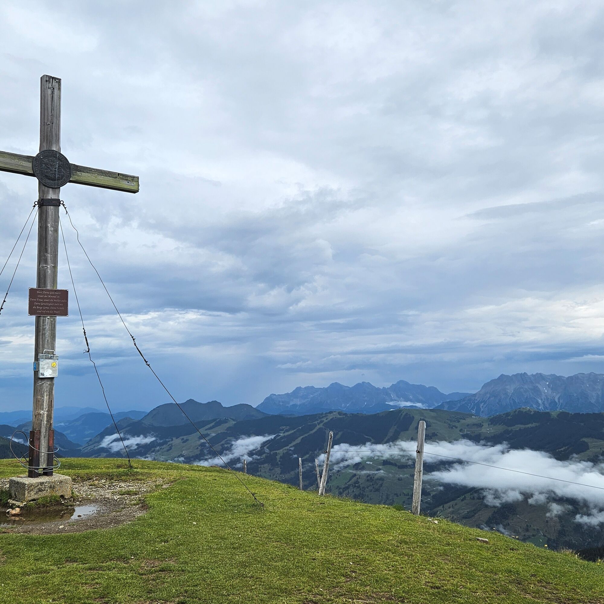
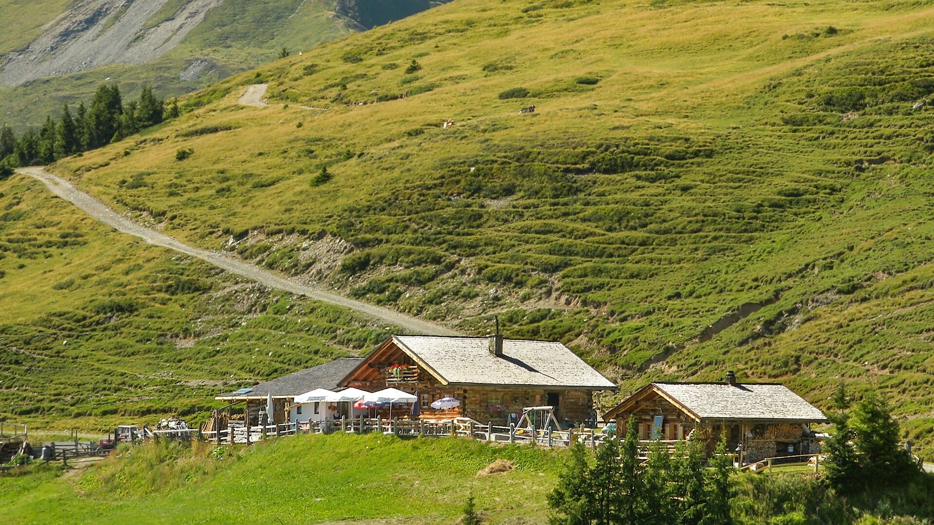
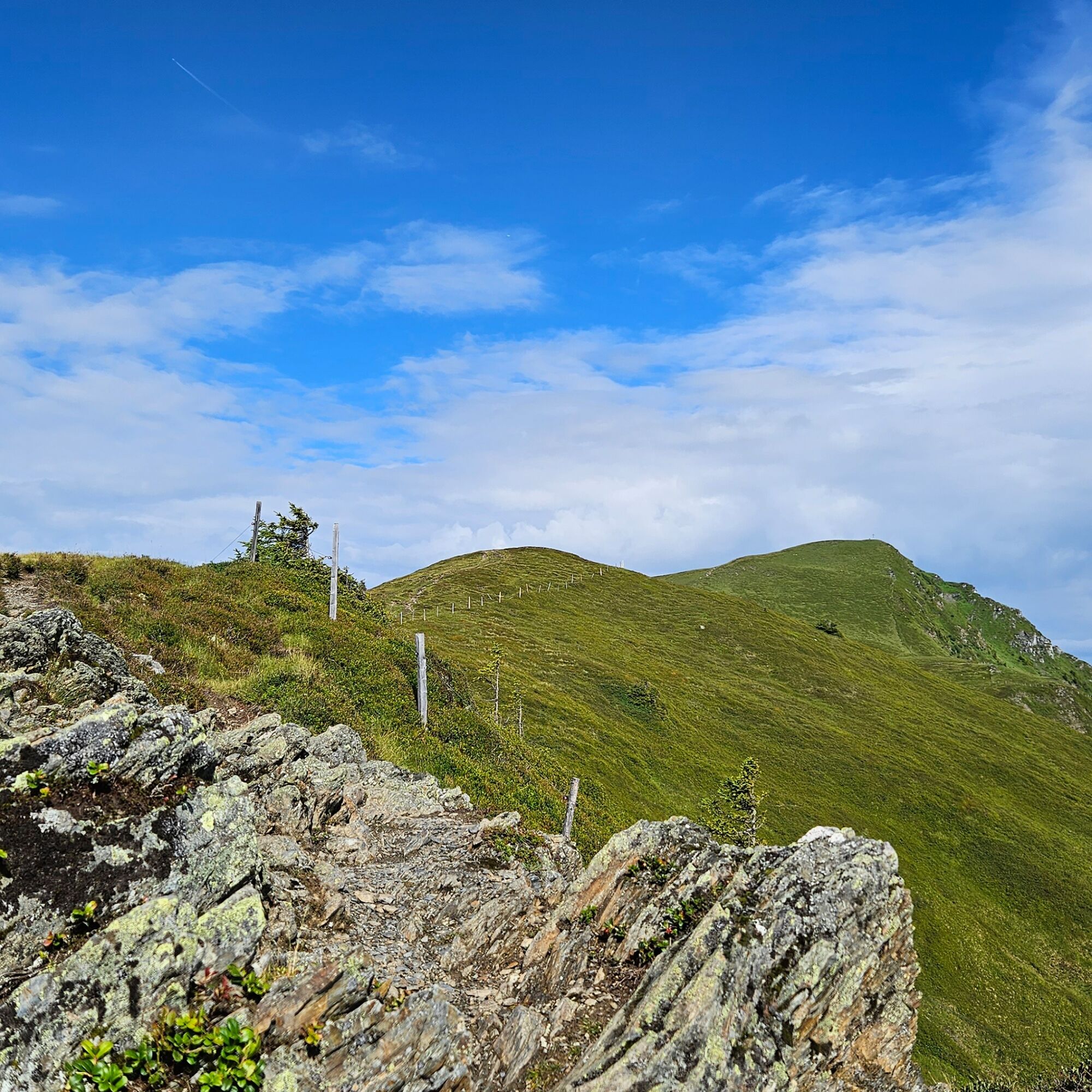

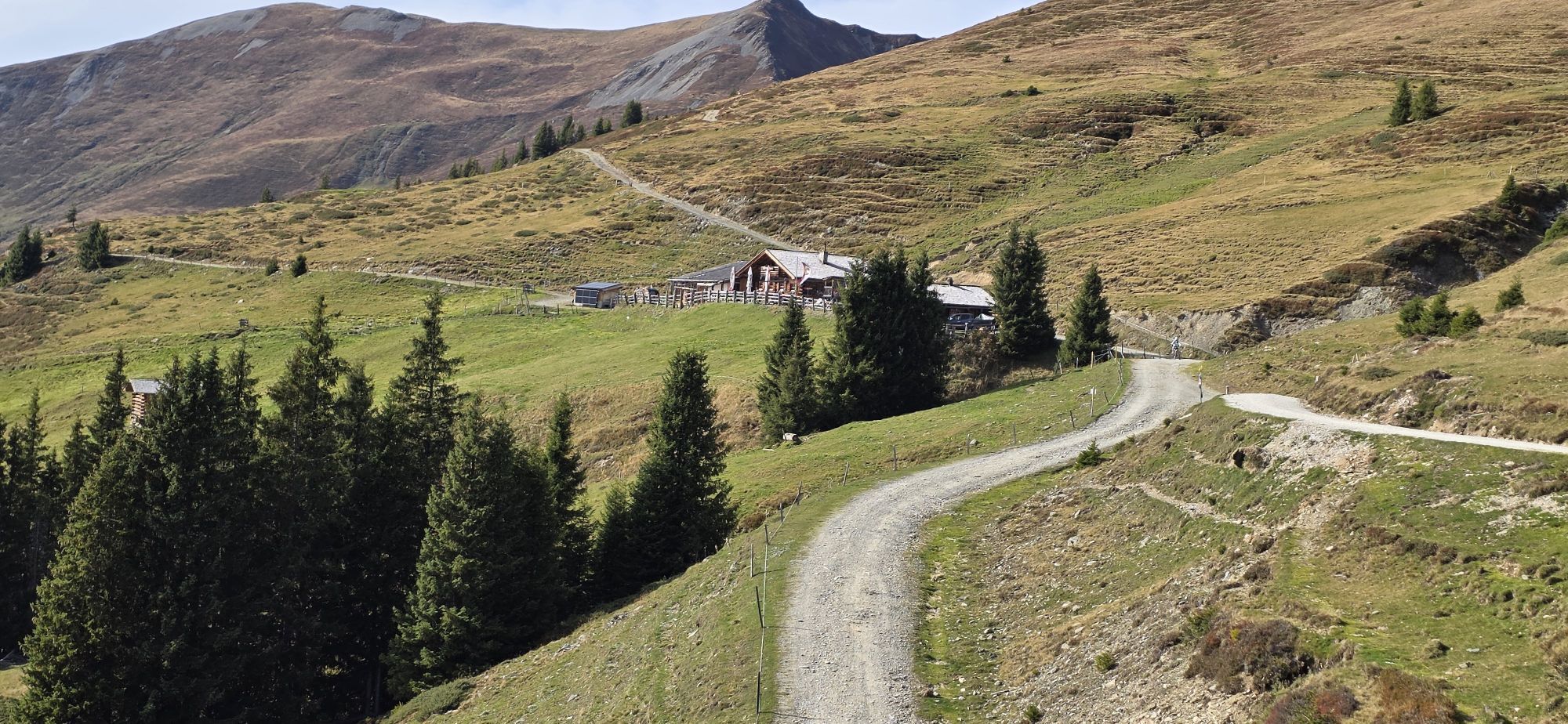
From the Hochsonnbergalm, follow the Pinzgauer Spaziergang, trail no. 19 towards Schmittenhöhe until the Kesselscharte. Turn left here and hike along the ridge to the summit. Afterward, continue westward to the Rohrertörl. From there, the Pinzgauer Spaziergang, trail no. 719, leads back to the starting point.
The ascent time to Hochsonnbergalm is approximately 3 to 4 hours.
Hochsonnbergalm hiking taxi: Euro Taxi Tel. +43 664 5001 964 or info@eurotaxi.at
Áno
Ankle-high hiking boots, drinks, provisions, backpack, rain protection & mobile phone
Dear nature lovers!
We hope that your snack and drinks you take on your hike give you the strength to carry the packaging material and empty cans as well as bottles back with you.
Please observe the Fair Play & Code of Conduct!
Fairness and mutual consideration form the basis for a common coexistence and the preservation of the diverse interests in the natural area!
Parking options are available at the parking lot on Schiliftstraße. Take the hiking taxi or use the hiking trail 18/18A to Hochsonnbergalm.
Webové kamery z prehliadky


Obľúbené výlety v okolí
-
4,4
Schwalbenwand Nr. 80, 81, 82
strednáTuristika 13,0 km -
4,2
Maurerkogel (Top)
Turistika 10,5 km -
4,7
Panorama route 3 peaks and 2 lakes
strednáTuristika 7,21 km -
5,0
Leo’s play hiking trail
svetloTematická trasa 4,89 km -
4,1
Berg der Sinne
svetloTuristika 4,39 km -
4,6
Sigmund Thun Klamm, Klammsee, Bürgkogel
svetloTuristika 4,56 km -
4,6
Thumersbach, Runde um den Zeller See
svetloTuristika 13,3 km -
4,7
Fusch: Gleiwitzer Hütte
ťažkéTuristika 8,26 km -
4,9
Hochsonnberg Runde
strednáMountainbike 59,8 km -
4,4
Sigmund Thun Klamm
svetloTuristika 3,10 km
Turistika a stopovanie


Nenechajte si ujsť ponuky a inšpiráciu na ďalšiu dovolenku
Vaša e-mailová adresa bol pridaný do poštového zoznamu.





