







monte popolo mountain station

Úroveň náročnosti: T2
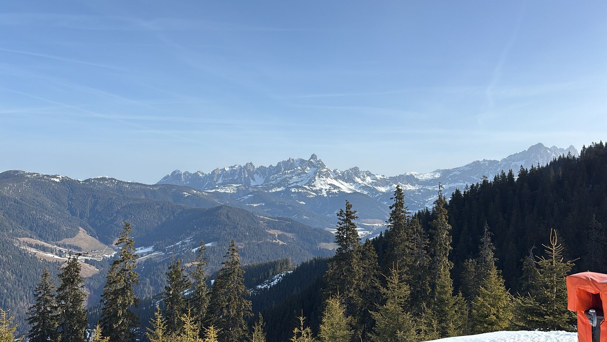
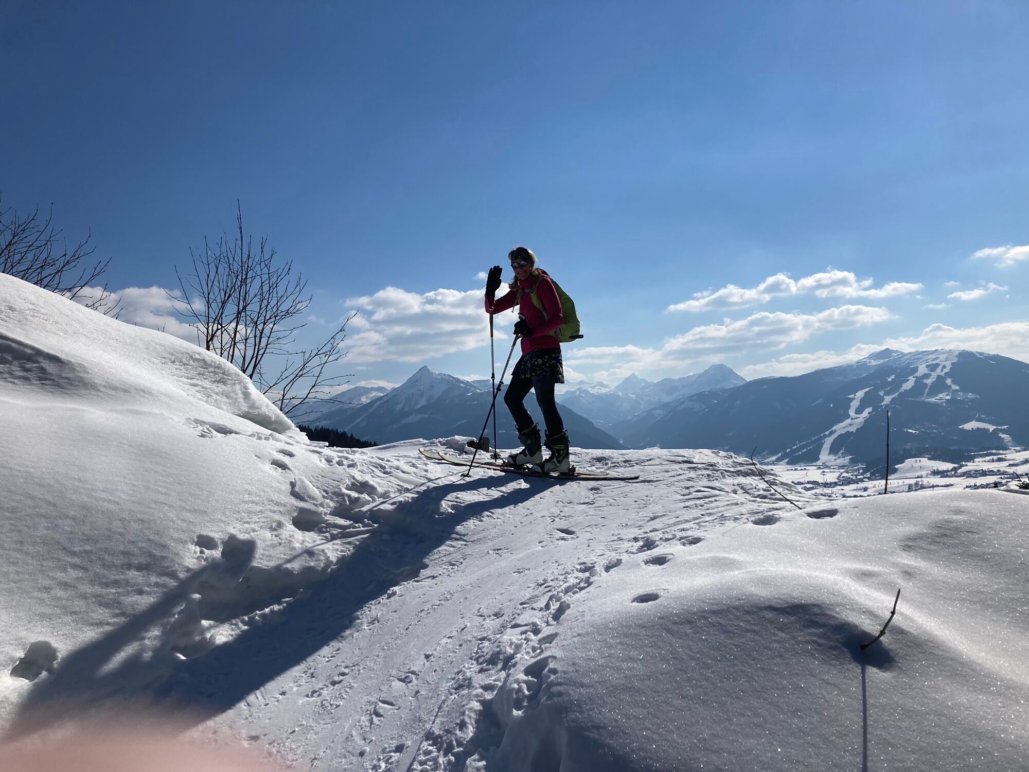
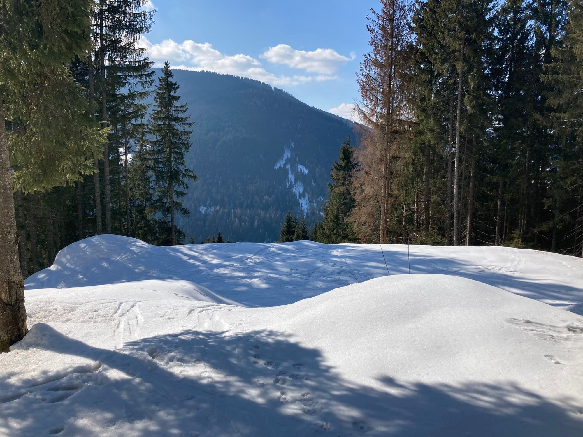
The hiking trail starts at the monte popolo lift parking lot and leads to the monte popolo mountain station.
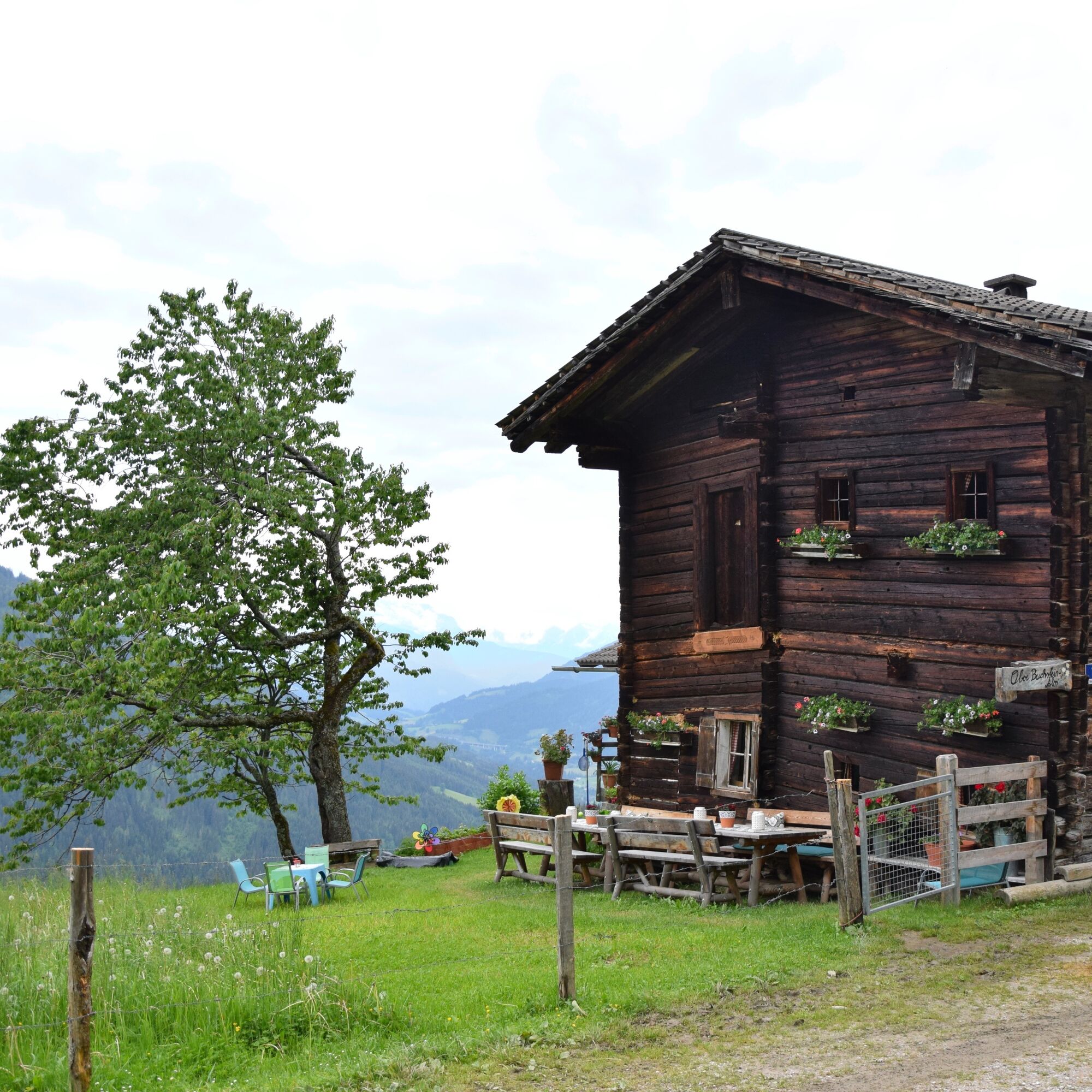
You walk through shady, moss-green forest to the scenic destination. The panoramic loungers at...
The hiking trail starts at the monte popolo lift parking lot and leads to the monte popolo mountain station.
You walk through shady, moss-green forest to the scenic destination. The panoramic loungers at the mountain station invite you to linger and enjoy – the view of Bischofsmütze, Dachstein massif, Lackenkogel, and the Niedere Tauern will make any hiking enthusiast’s heart beat faster.

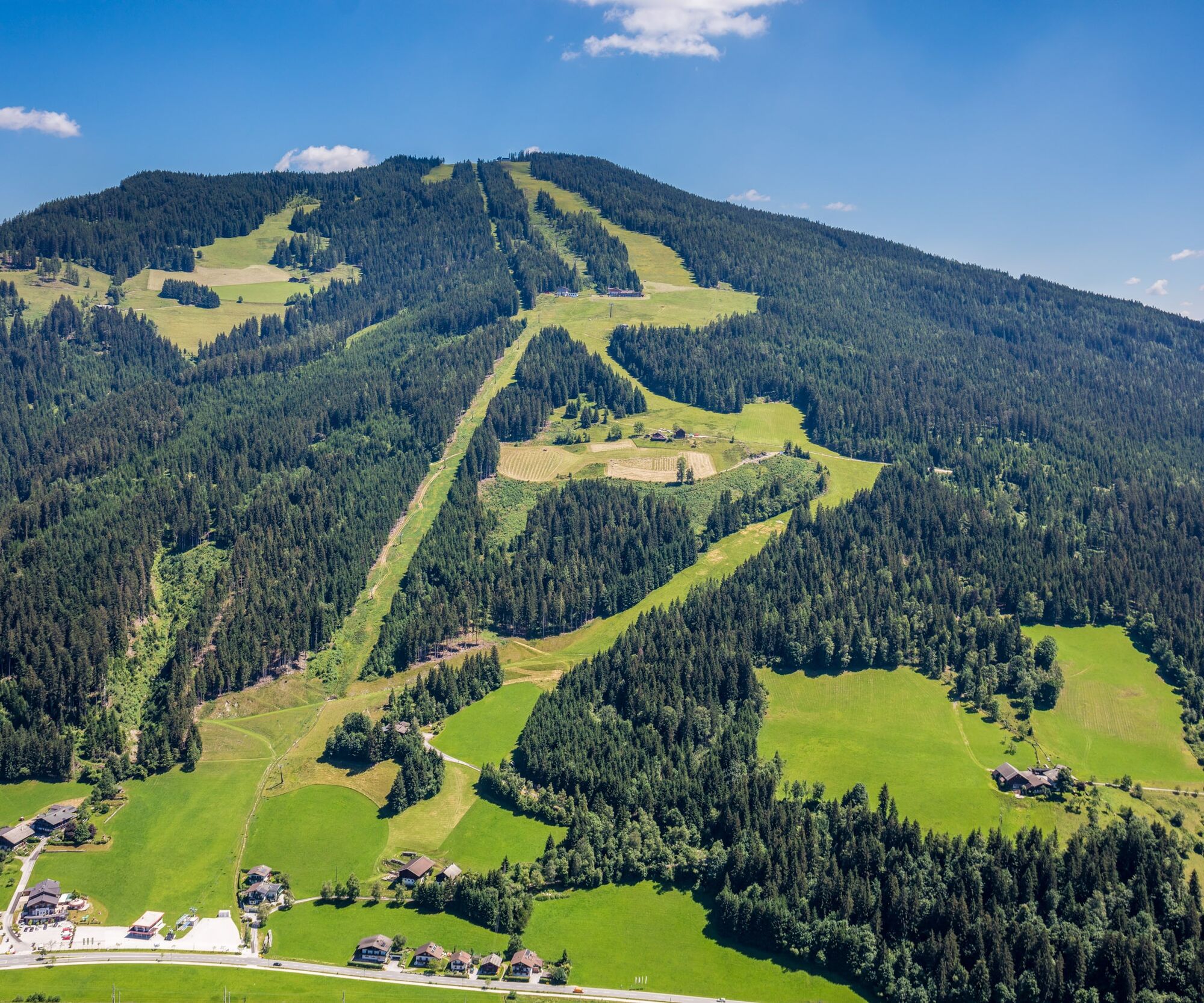
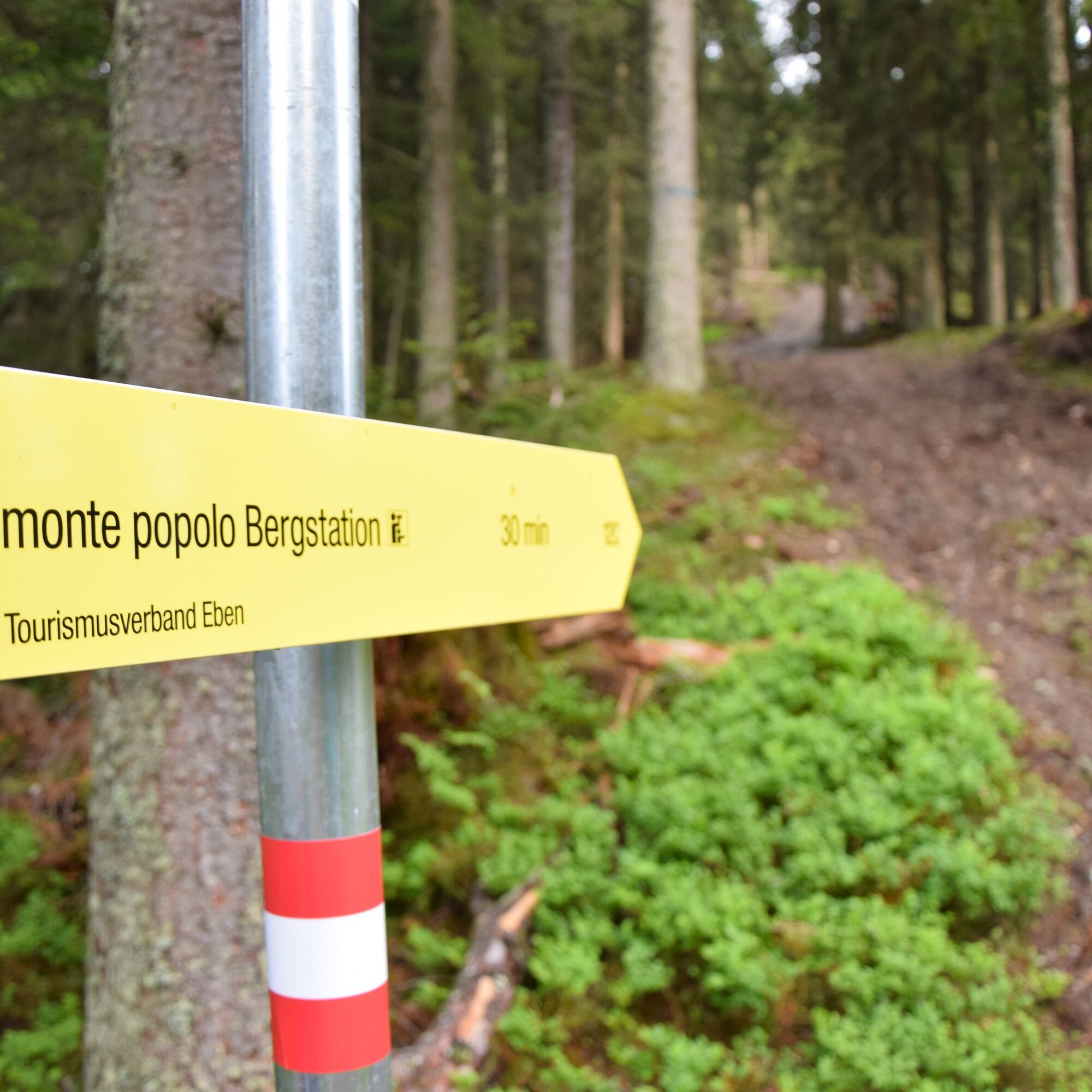
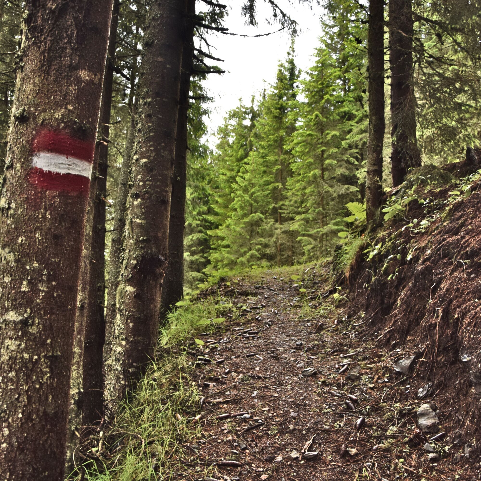
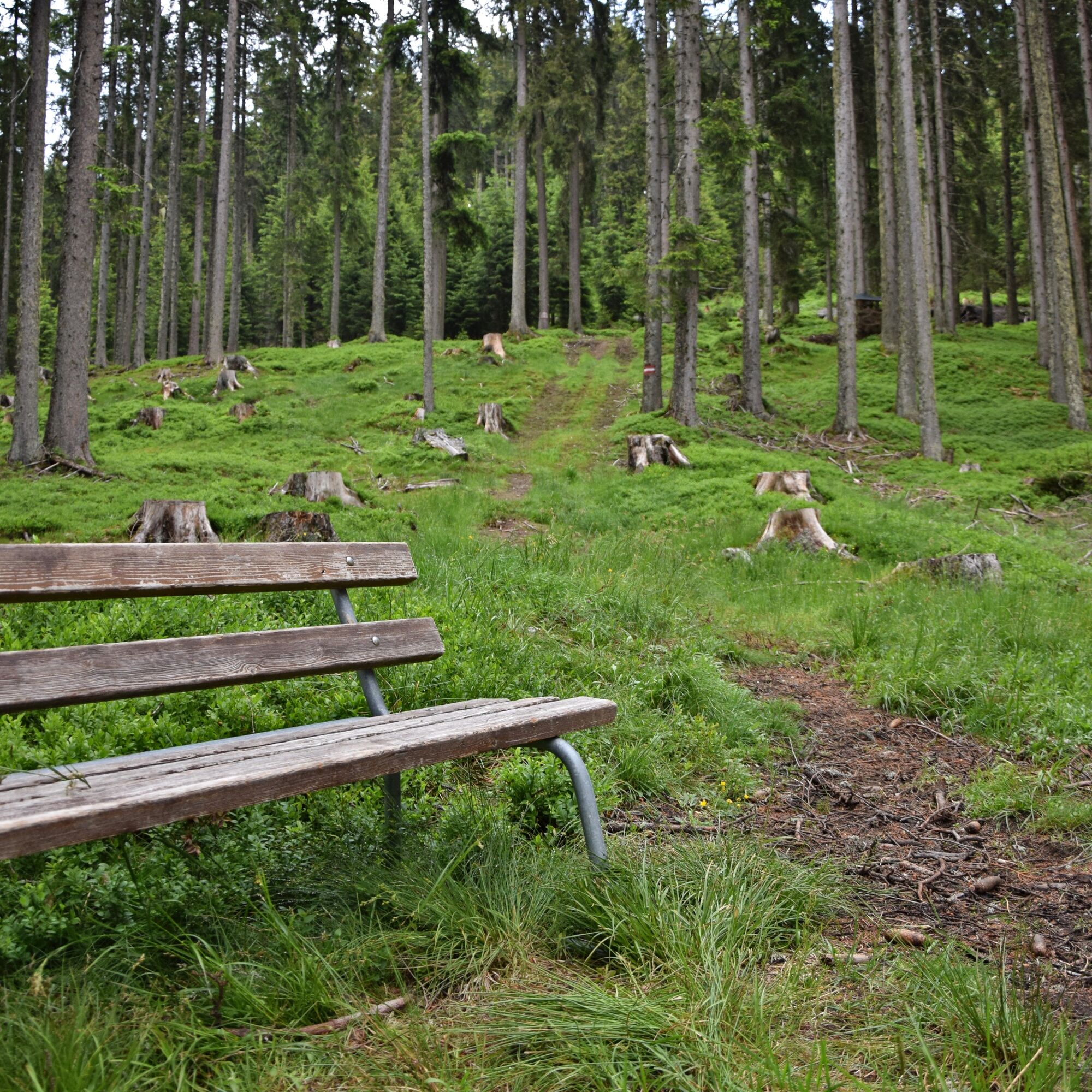

At the monte popolo valley station, path 12C starts to the destination – the monte popolo mountain station. The return route follows the same path.
Áno
Sturdy footwear is recommended, the path is not stroller-friendly.
Attention livestock! The route partially goes through pasture land. Always keep dogs on a leash and maintain distance from the livestock!
Exit the A10 Tauern motorway at Eben (Exit 60) and follow the B99 to monte popolo.
By train to Eben im Pongau, or by bus (lines 511, 521, and 270) to the Reitlehenbahn station, which is located directly at the starting point. The train station is about a 10-minute walk from the starting point.
Free and spacious lift parking lot directly at the starting point.
T2
There is also a shortened route from the Reitlehenalm.
Dining option at the Landgasthof Ortner near the starting point.
Webové kamery z prehliadky

Obľúbené výlety v okolí
-
5,0
Strimskogel-Runde
Turistika 13 km -
4,4
Filzmoos: Rötelstein (Rettenstein)
Turistika 9,50 km -
4,9
4-Gipfel-Tour
strednáHorská turistika 6,40 km -
4,7
Werfenweng Mountainbikerunde Söldenhütte
strednáMountainbike 18,8 km -
4,8
Tour around the Gosaukamm
strednáTuristika 20,9 km -
4,7
Tor-Wanderung
ťažkéTuristika 14,2 km -
4,7
Tour around the Lake Gosau
svetloTuristika 4,43 km -
4,6
Adamekhütte vom Vorderen Gosausee
strednáTuristika 23,2 km -
4,6
Ski route Lackenkogel
strednáSkitour 7,82 km -
4,6
Grießenkareck
strednáTuristika 4,89 km
Turistika a stopovanie


Nenechajte si ujsť ponuky a inšpiráciu na ďalšiu dovolenku
Vaša e-mailová adresa bol pridaný do poštového zoznamu.





