


Pinzgauer Spaziergang - High-altitude hiking trail
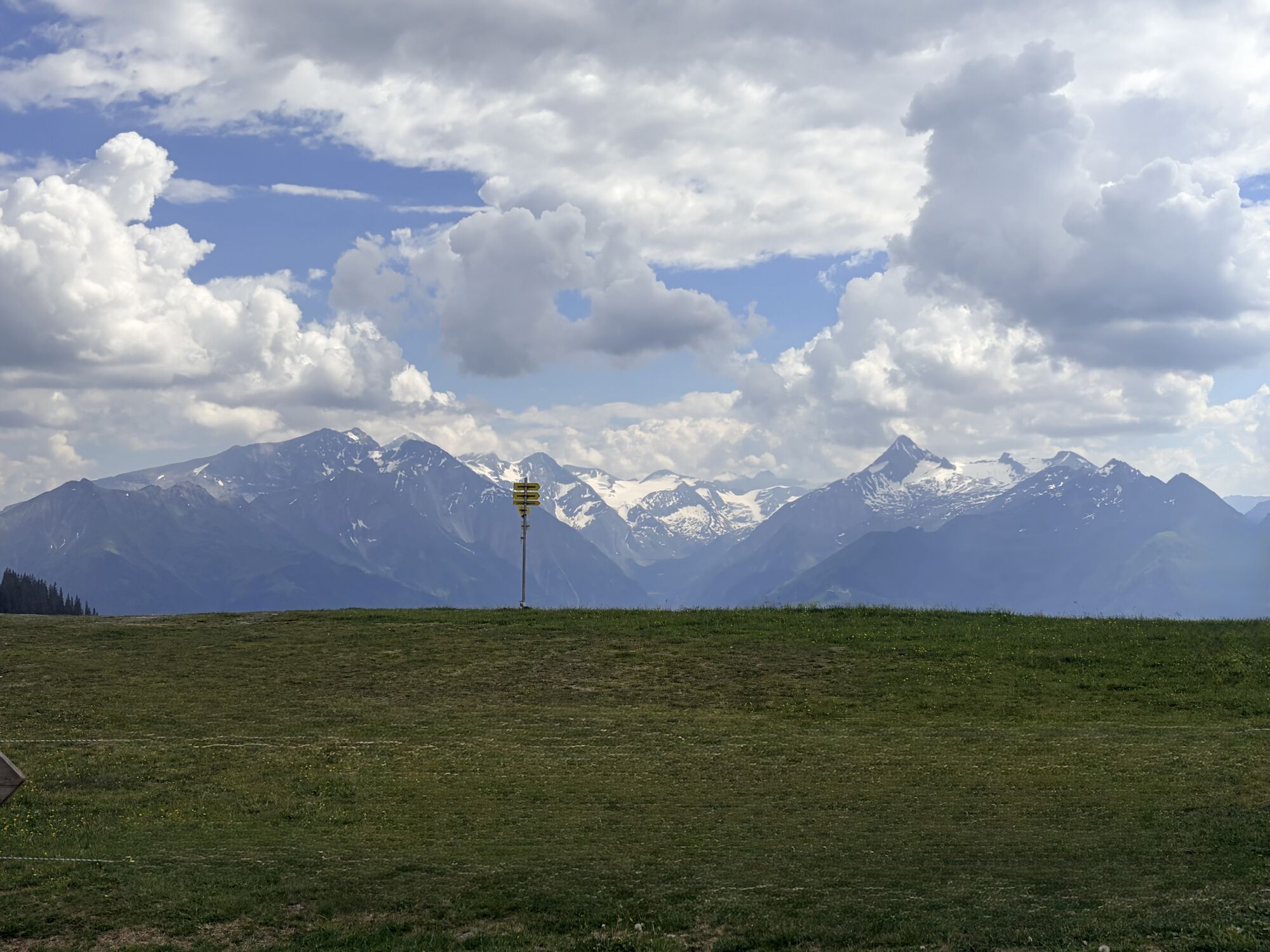
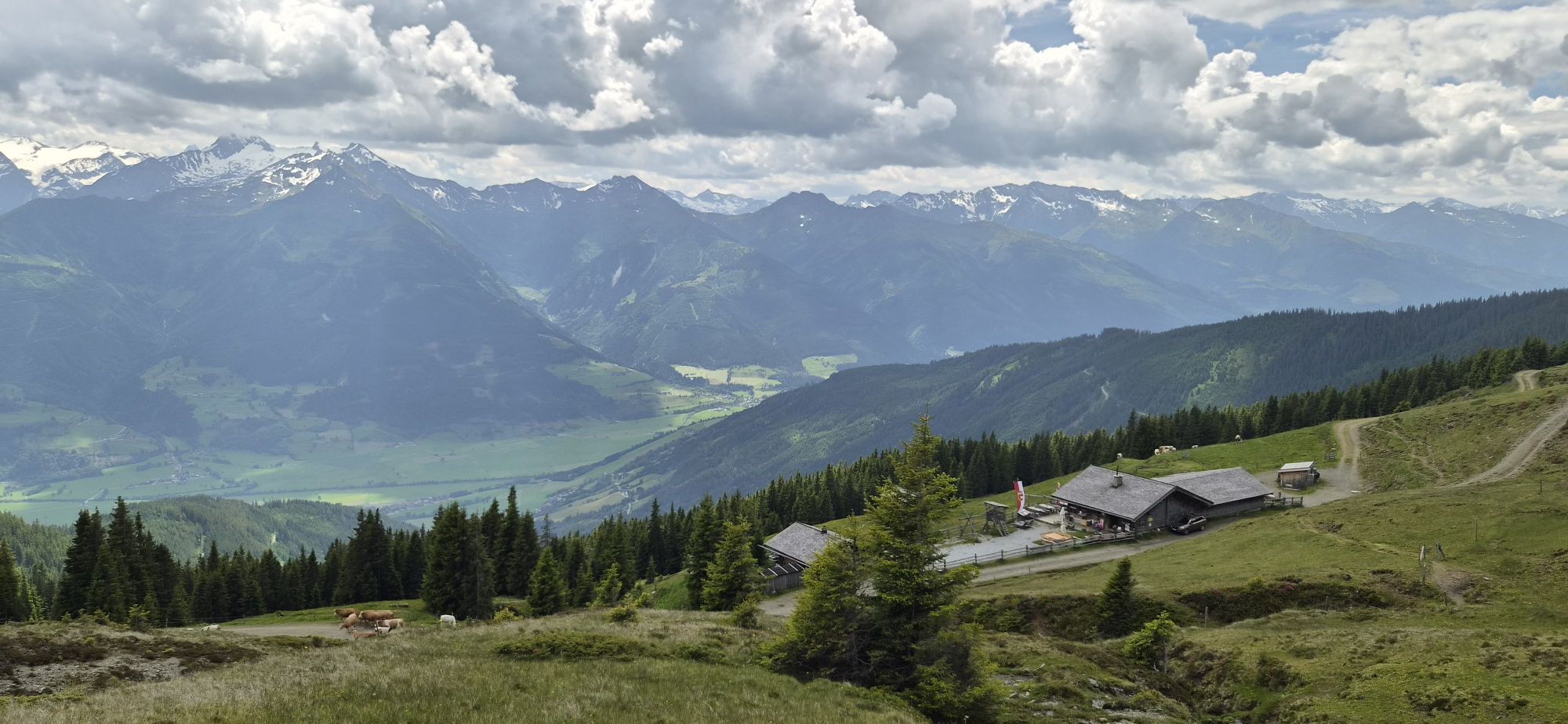
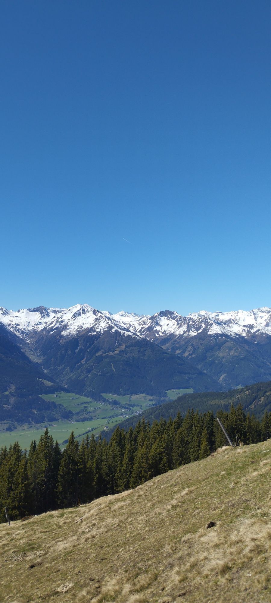
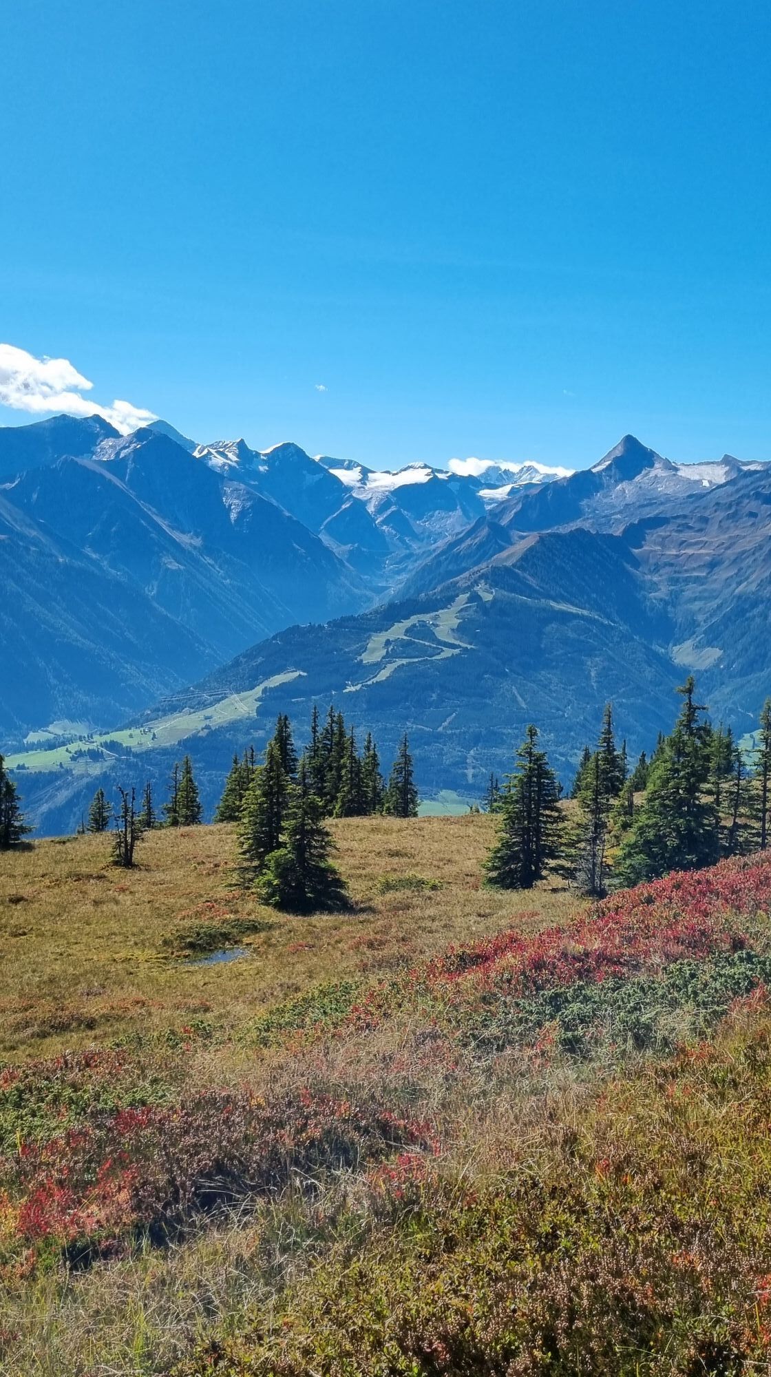
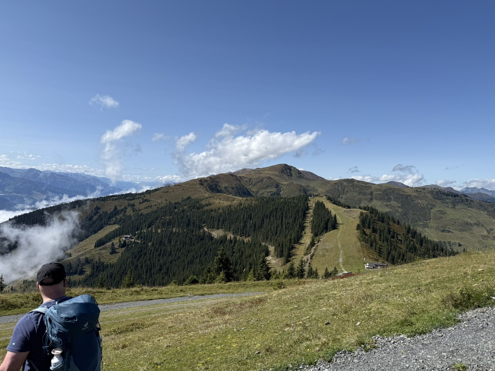

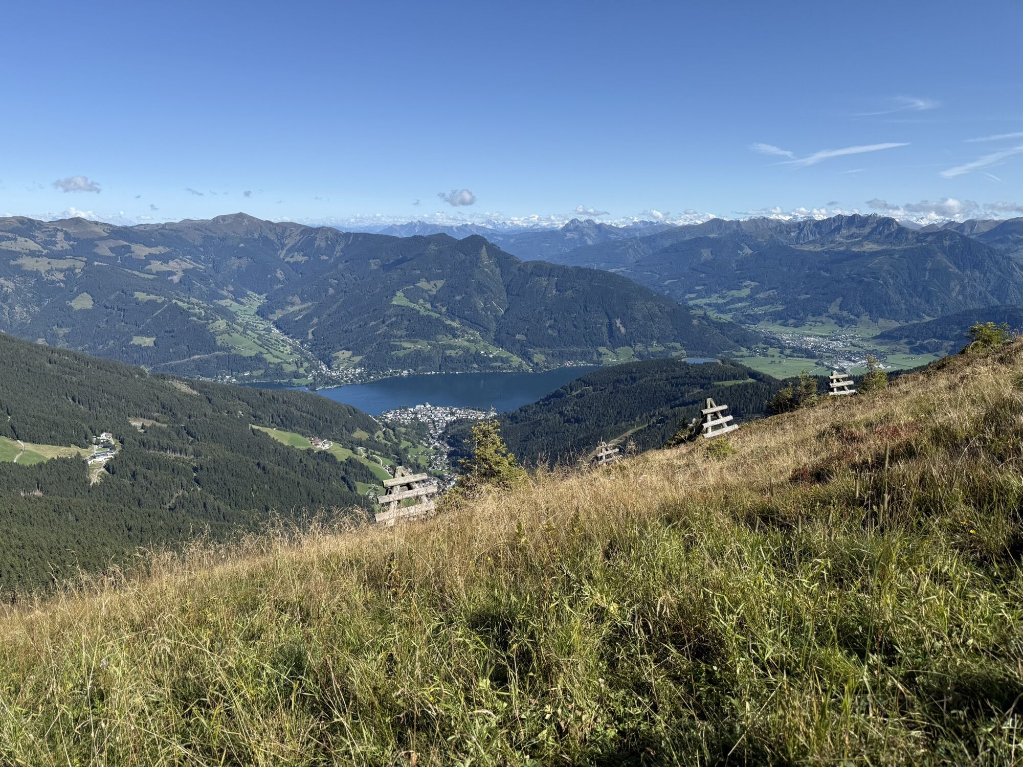

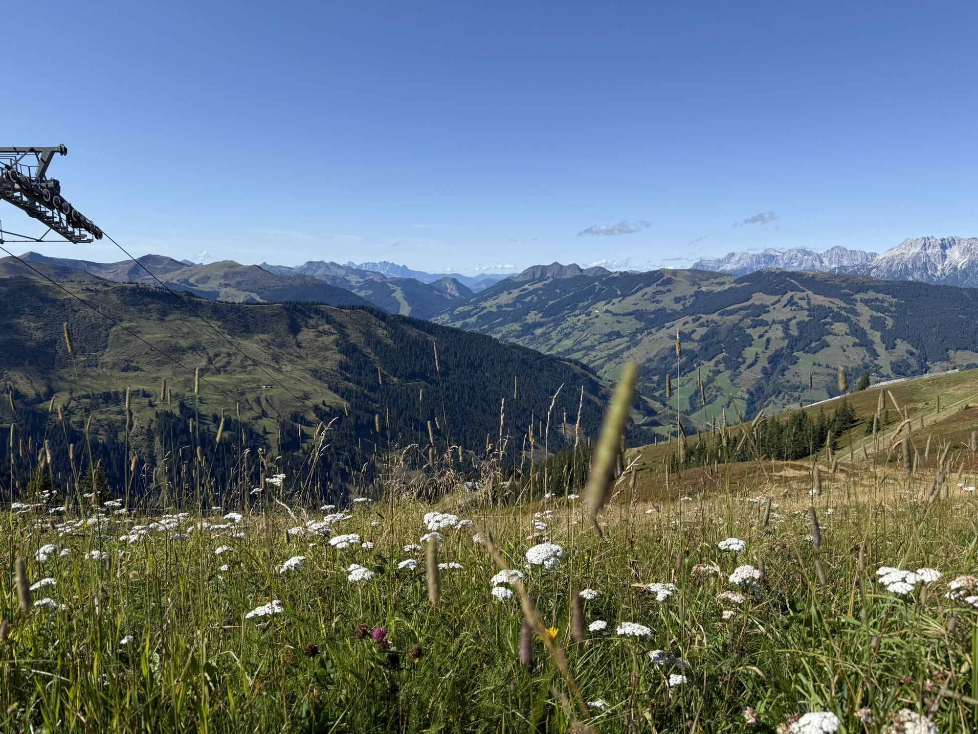

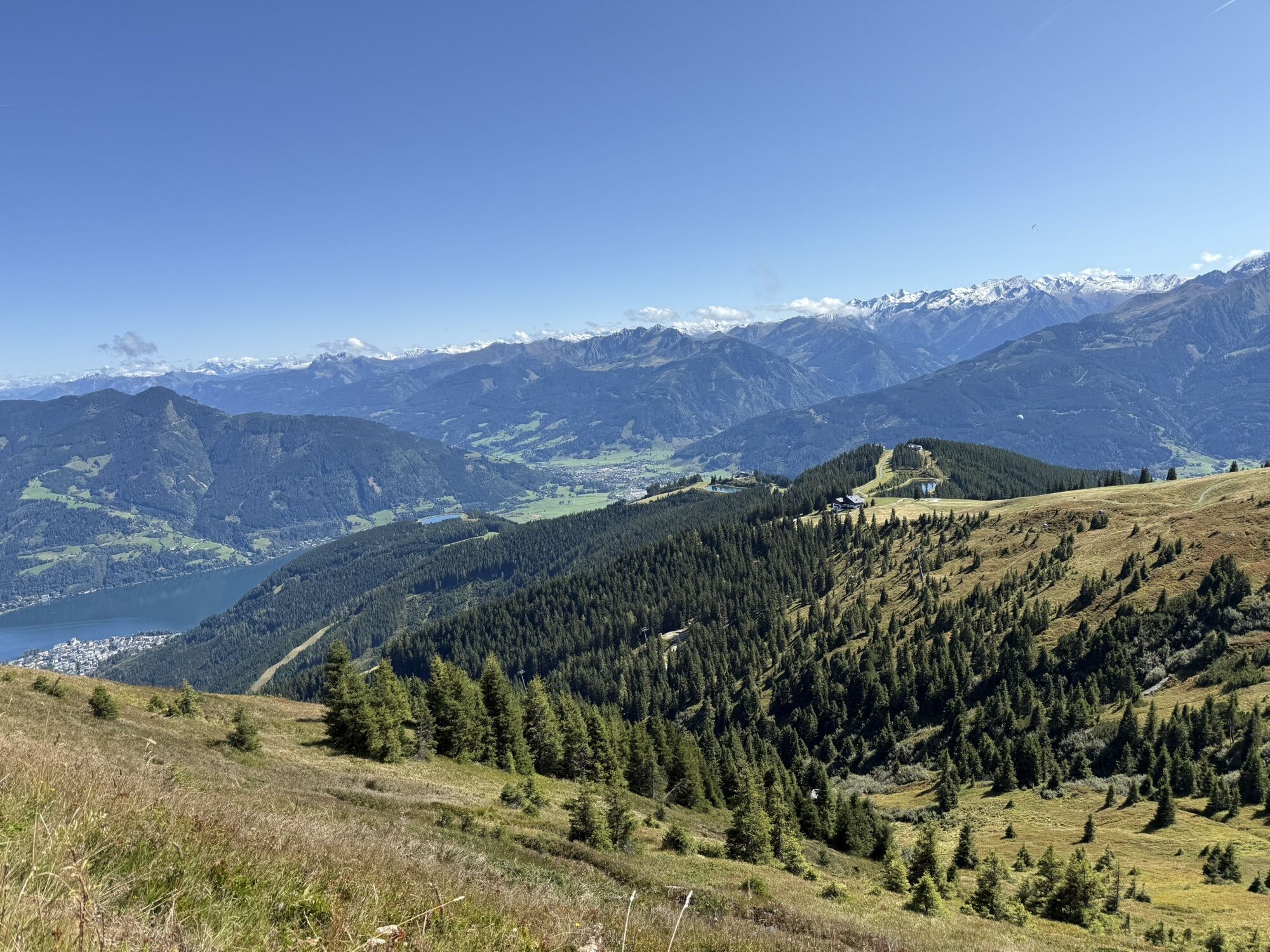

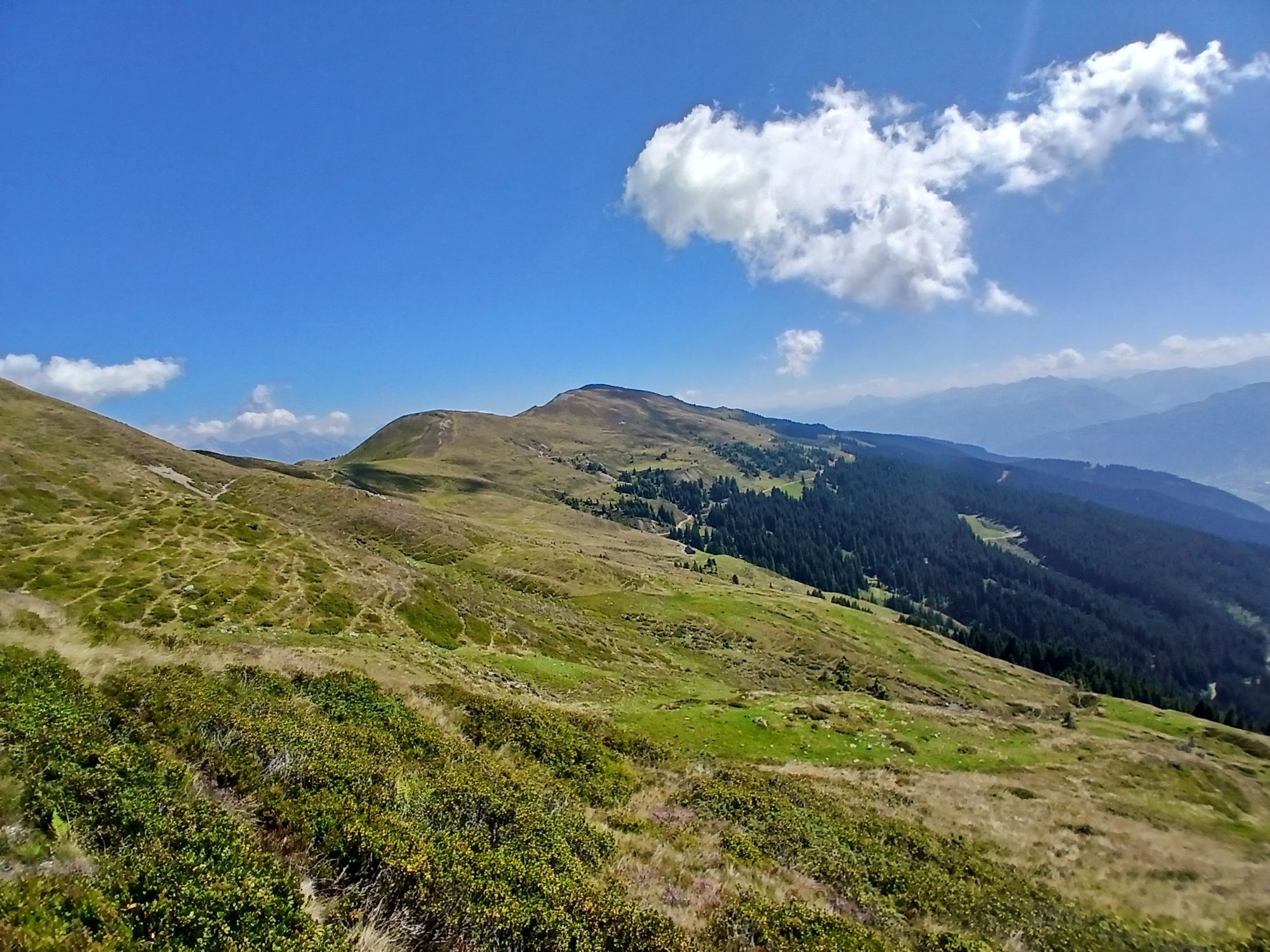
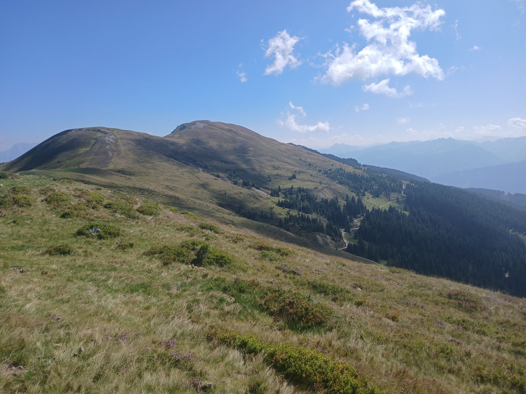
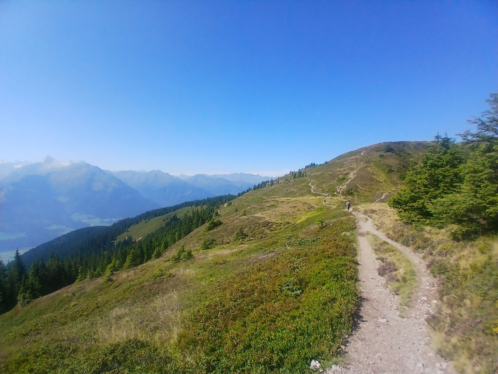
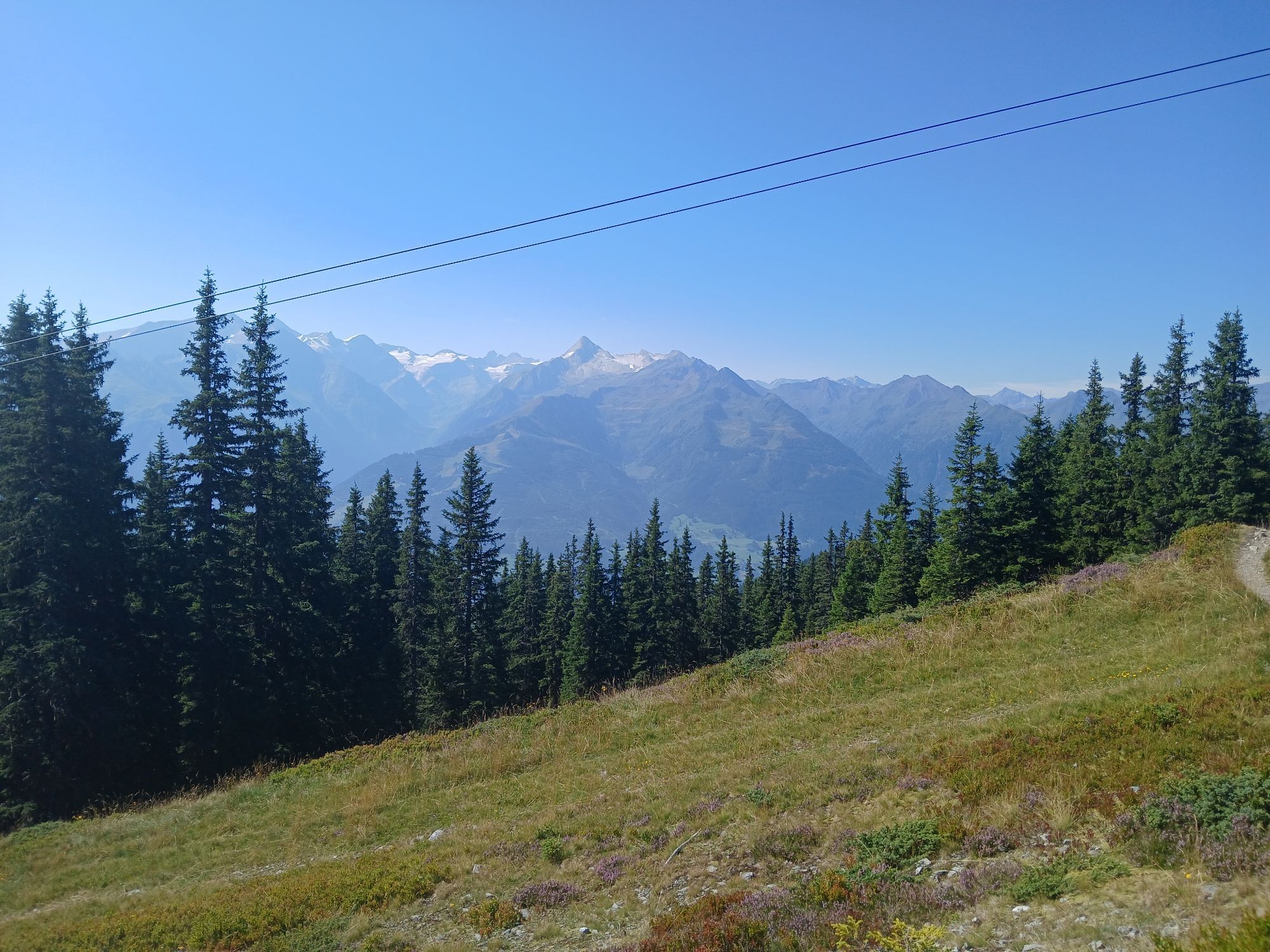
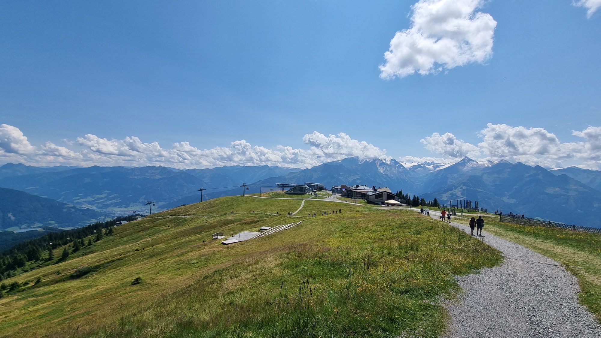
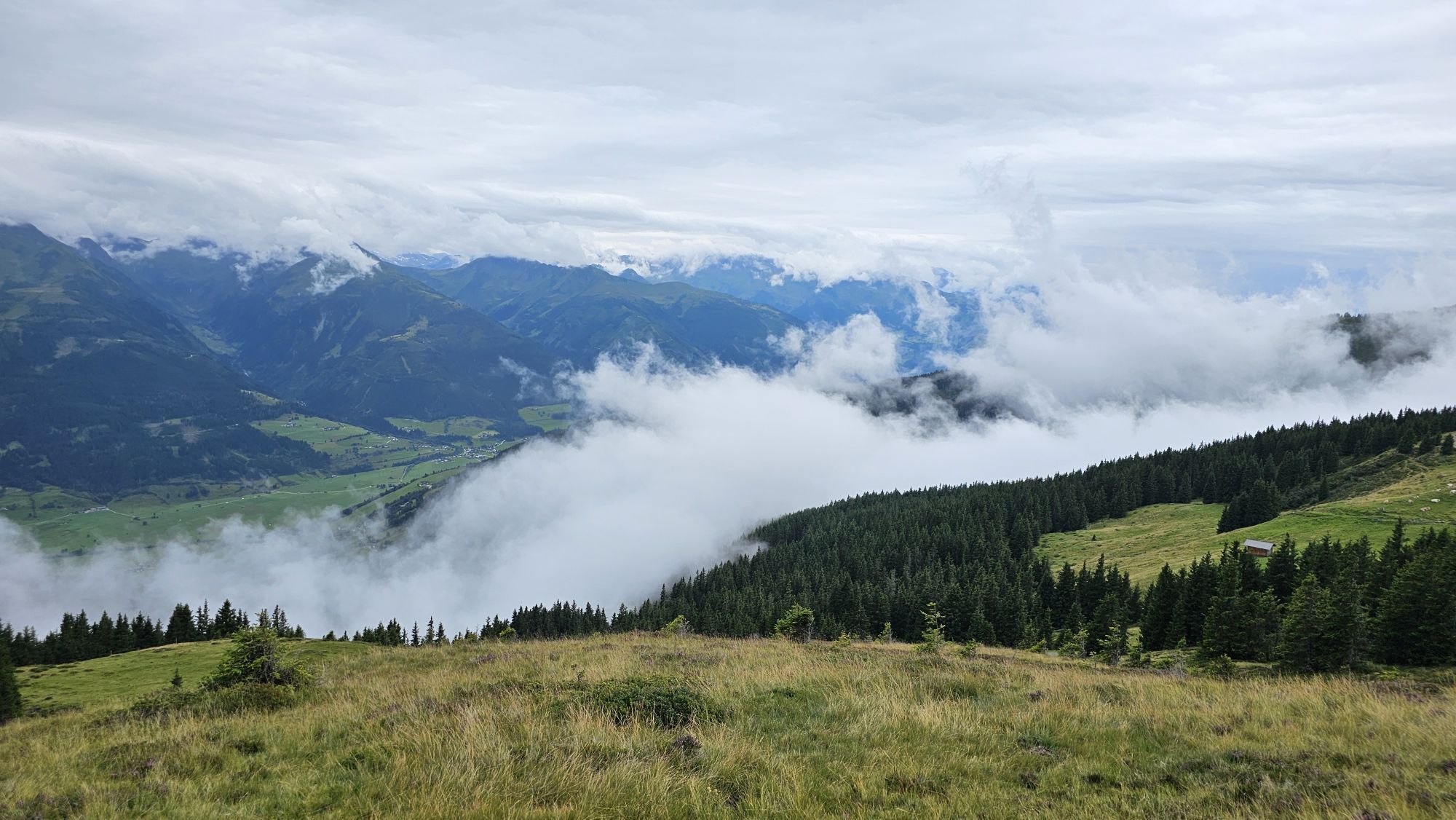


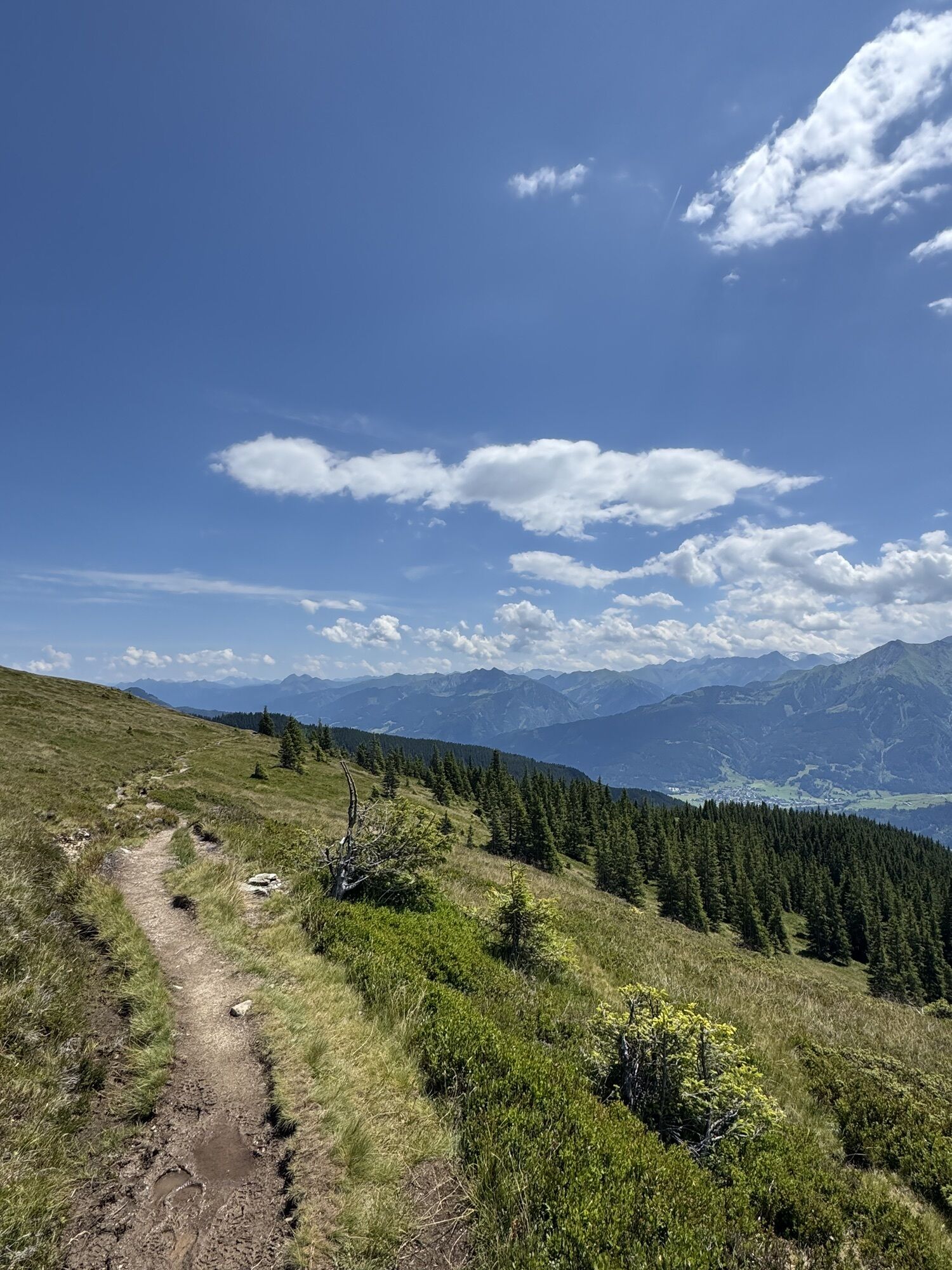
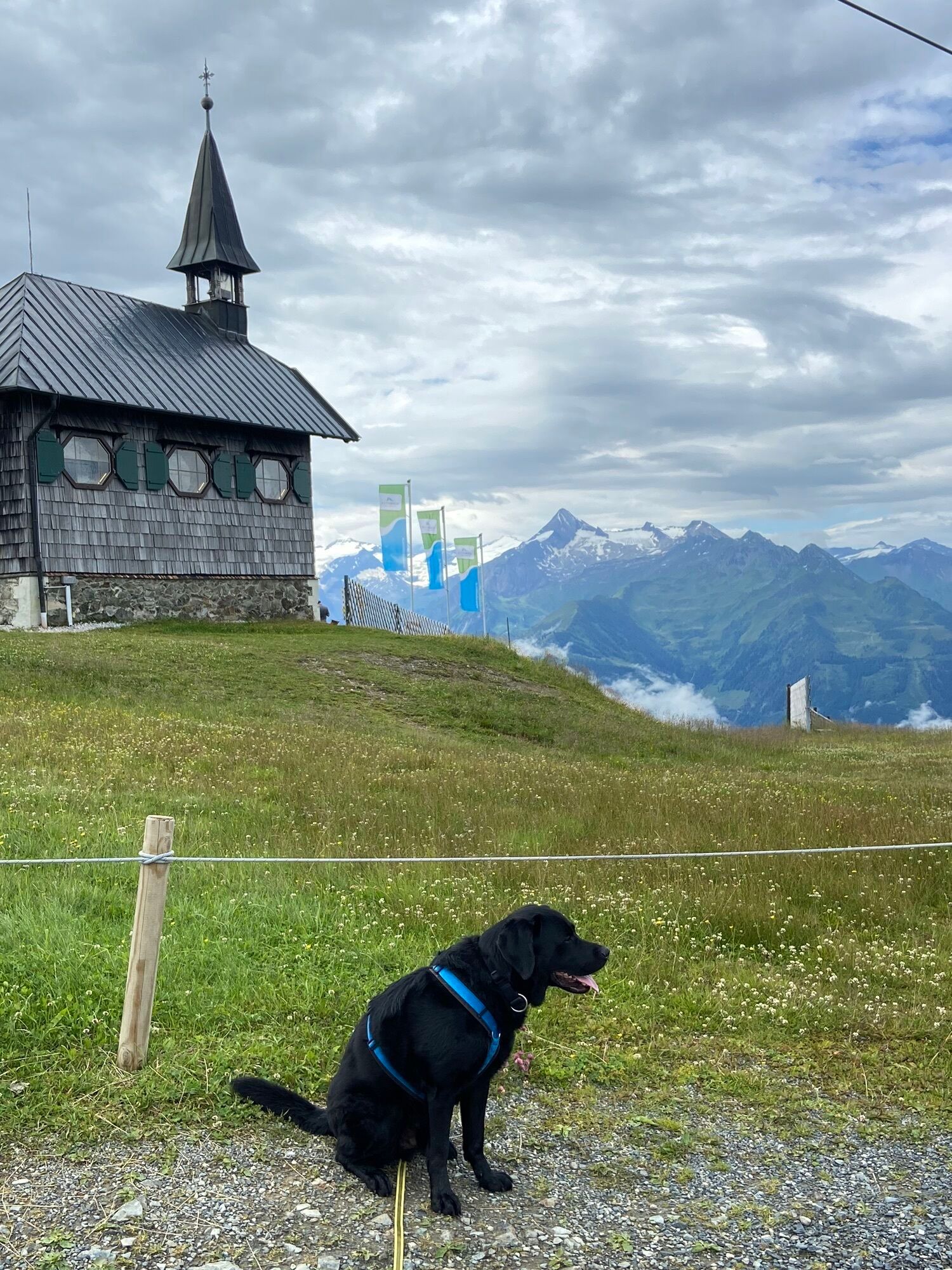
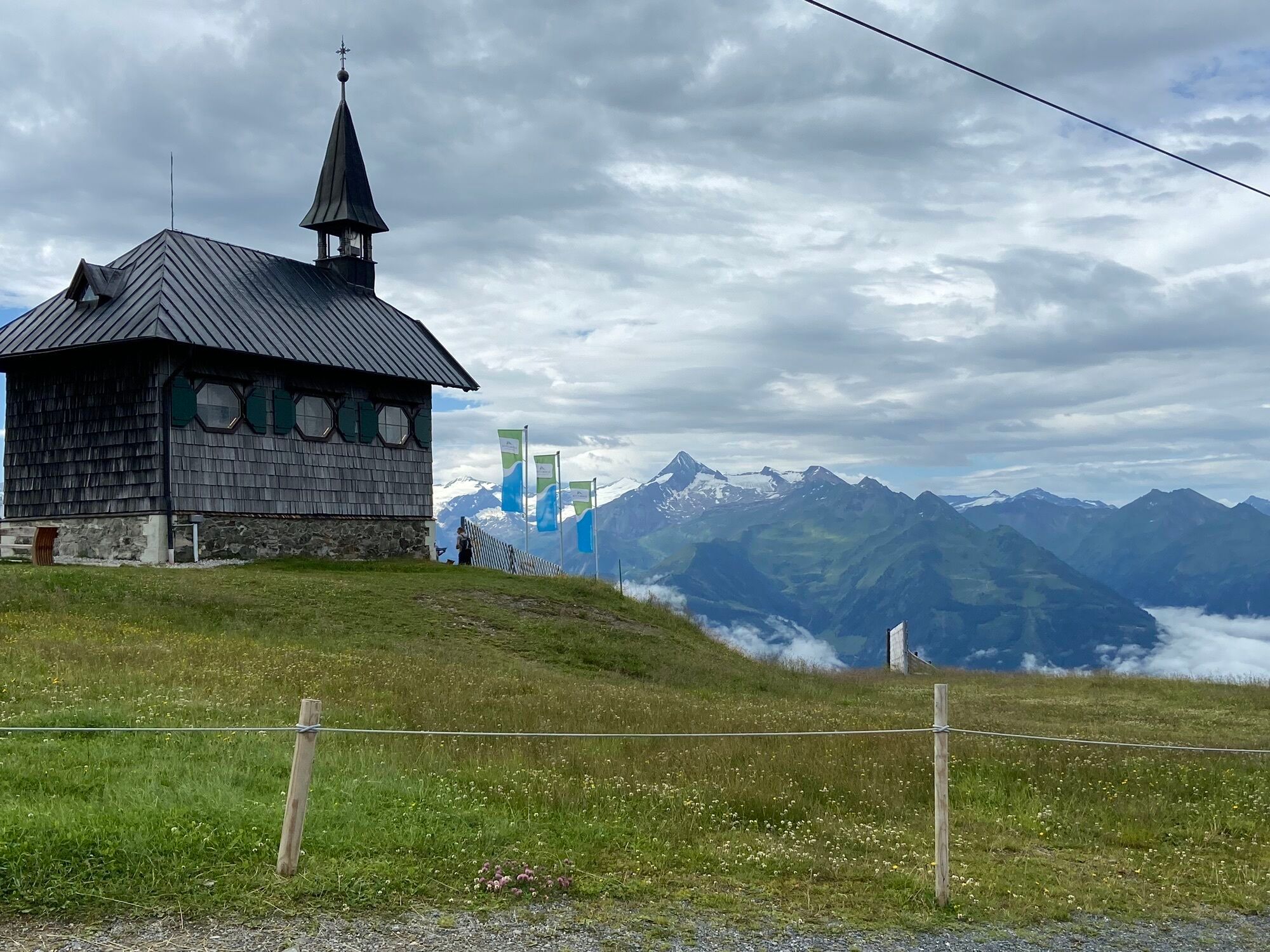
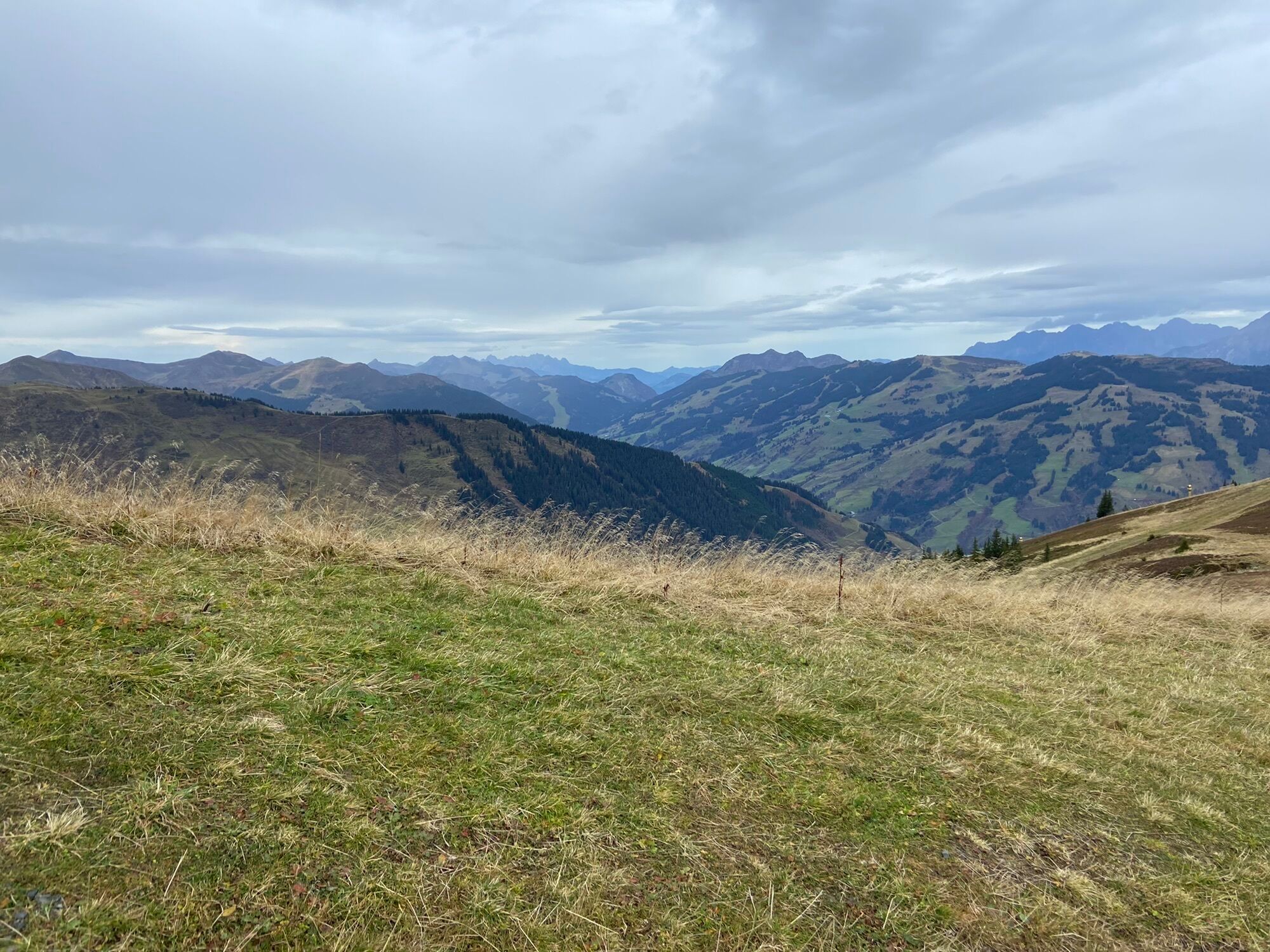
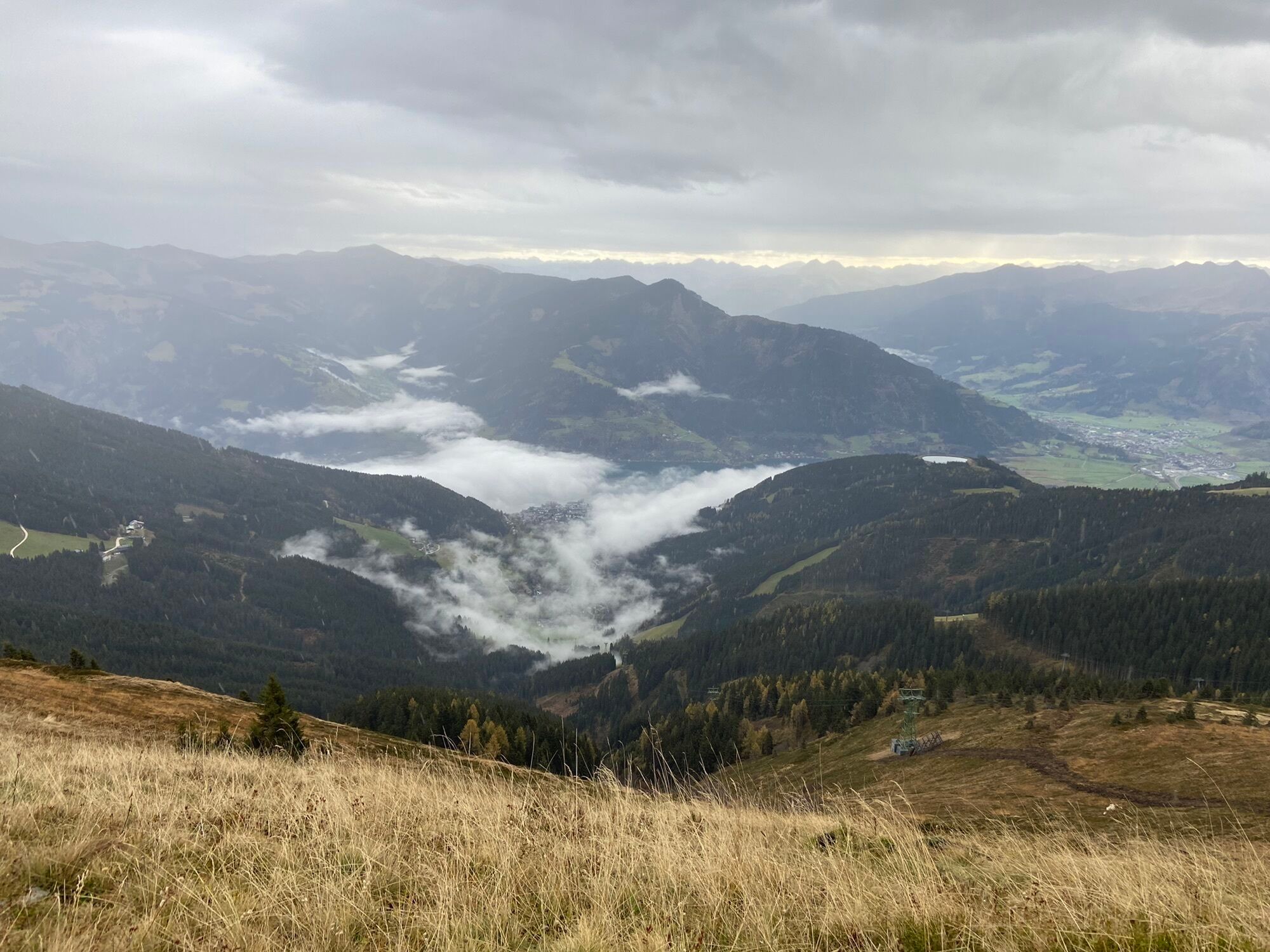
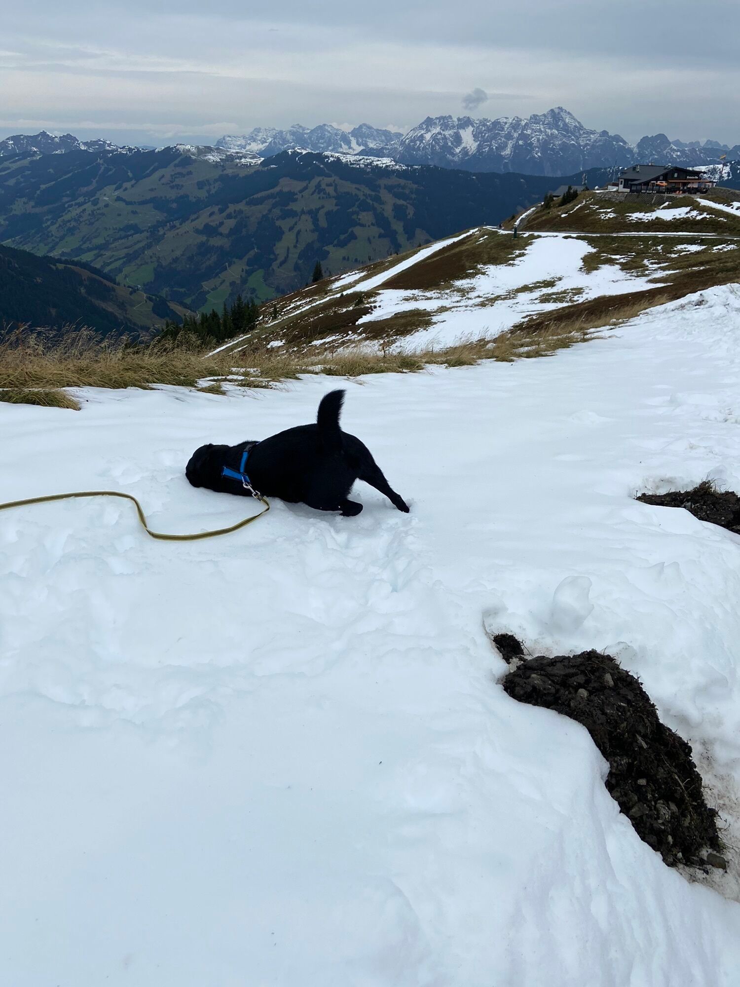
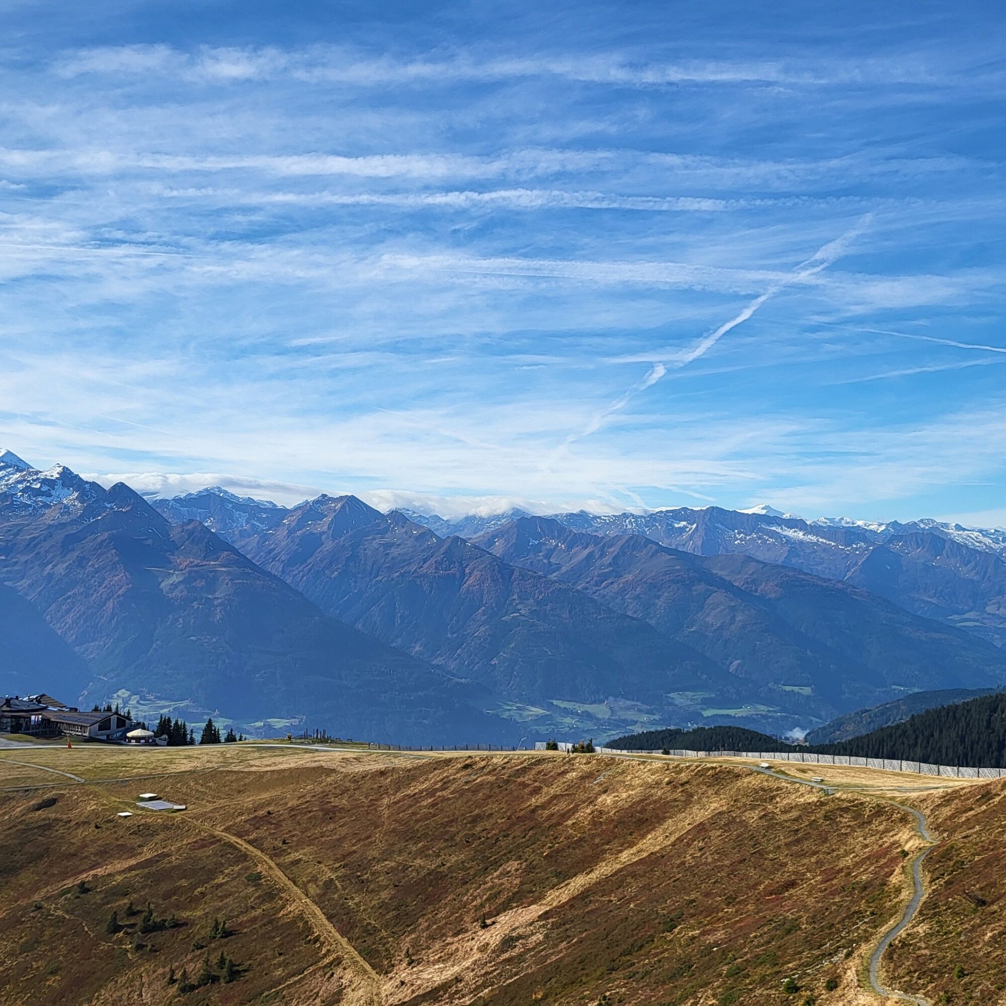
The Pinzgauer Spaziergang, at about 2,000 meters above sea level, is one of the most beautiful high-altitude trails of the Eastern Alps with a breathtaking view of the peaks of the Hohe Tauern. Throughout...
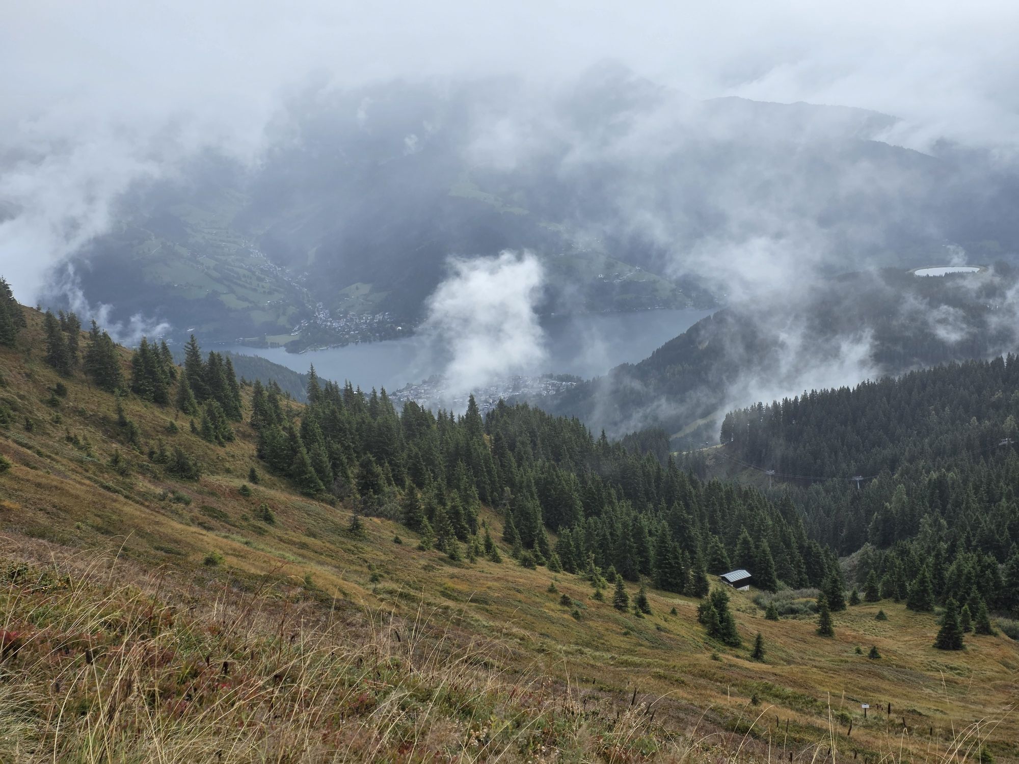
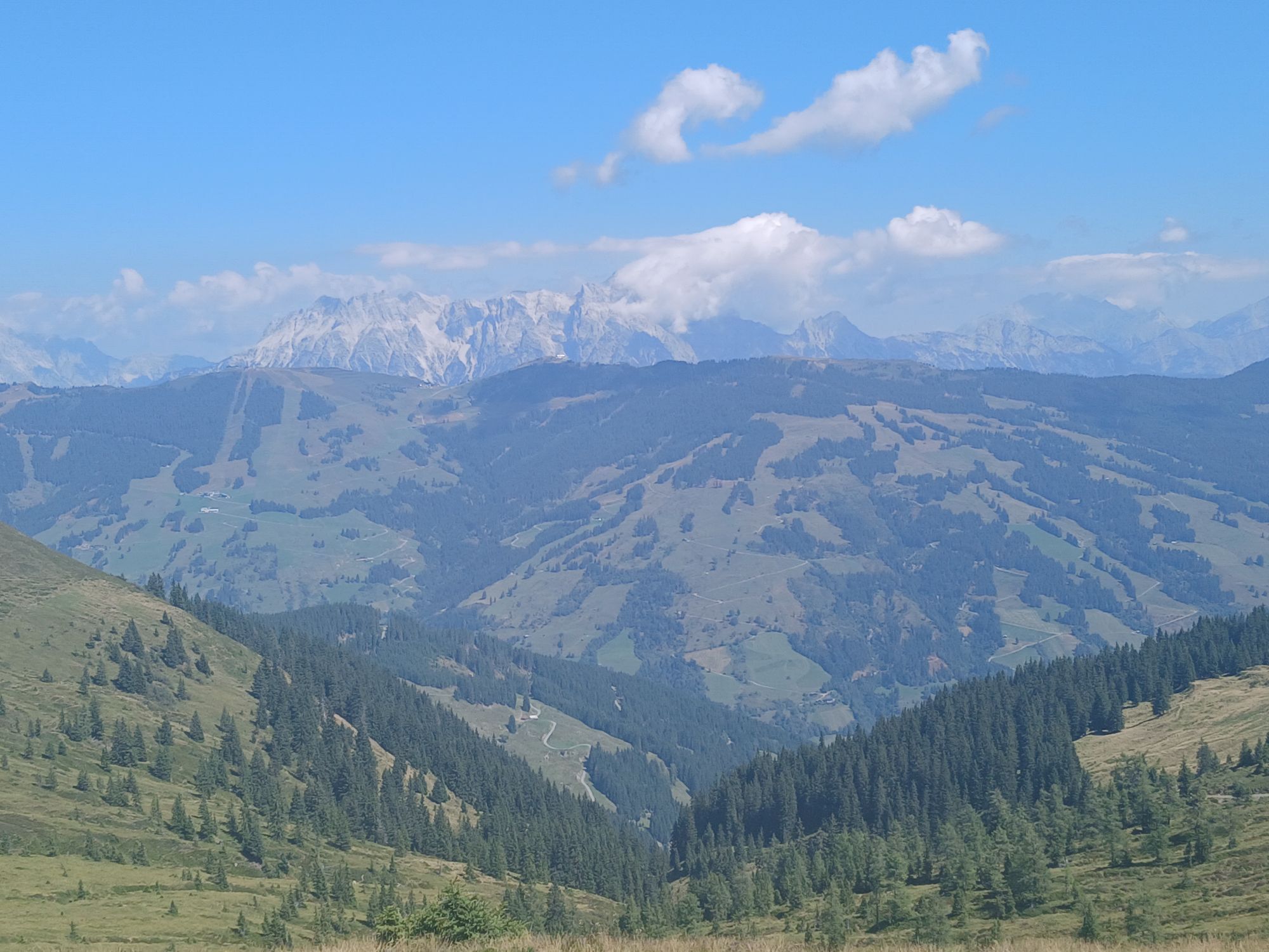
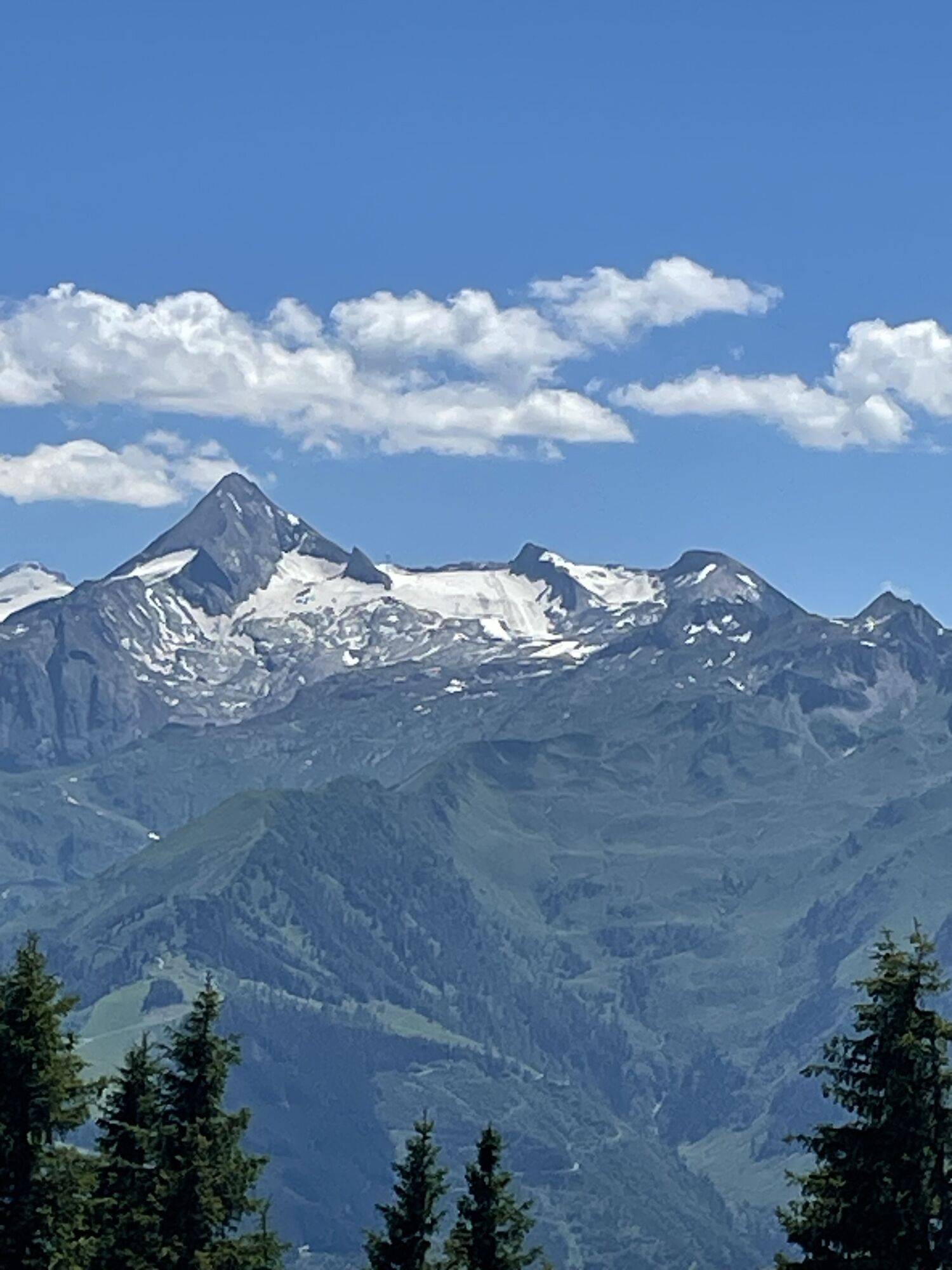
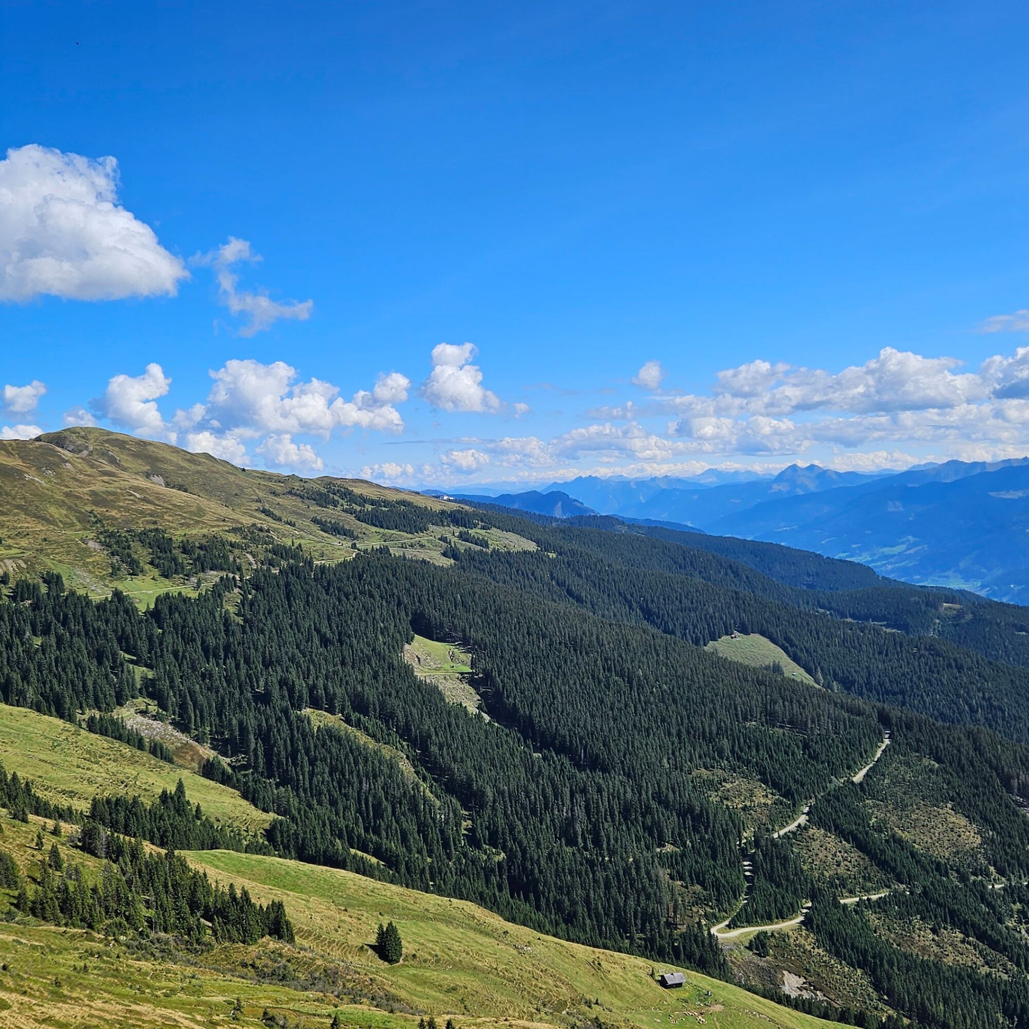
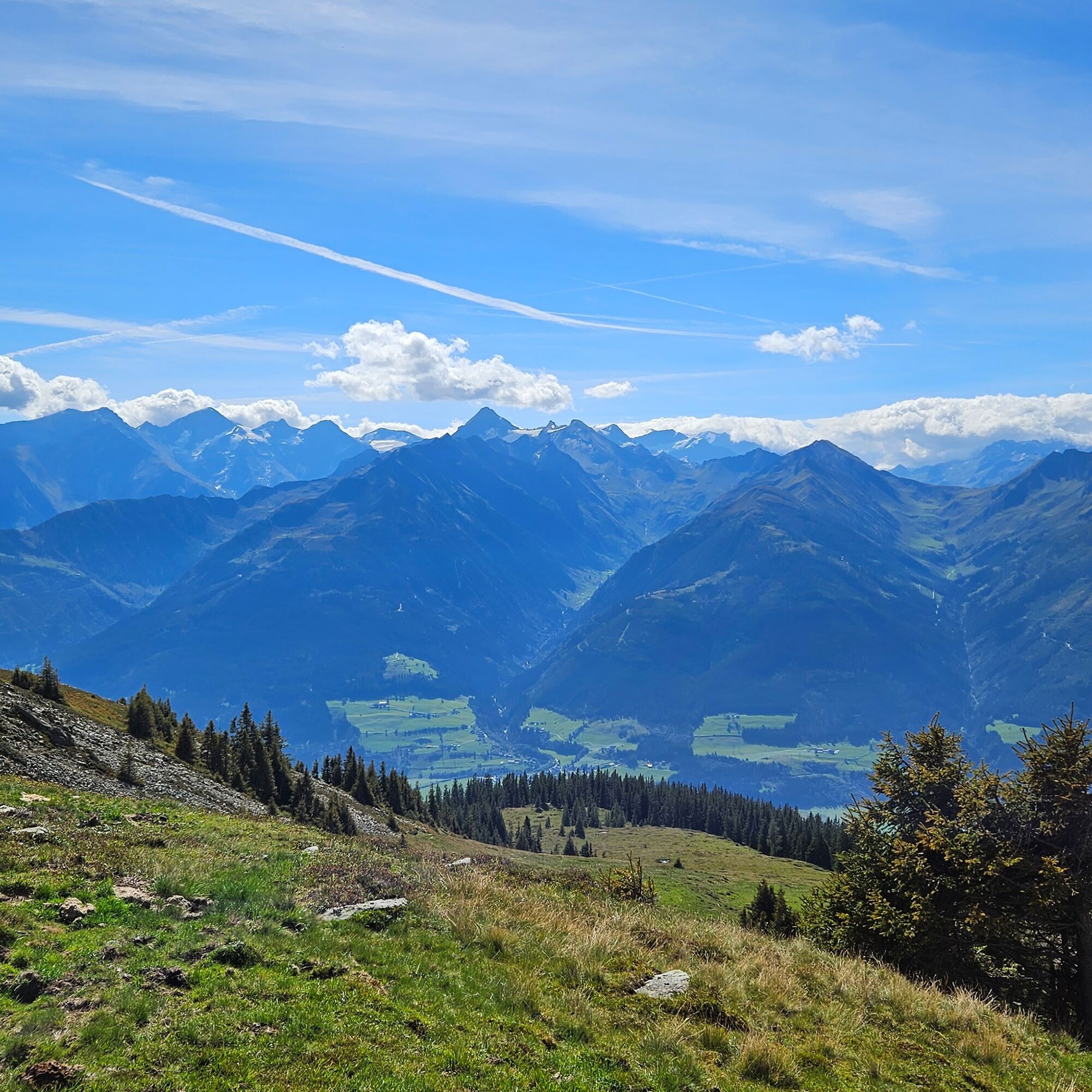
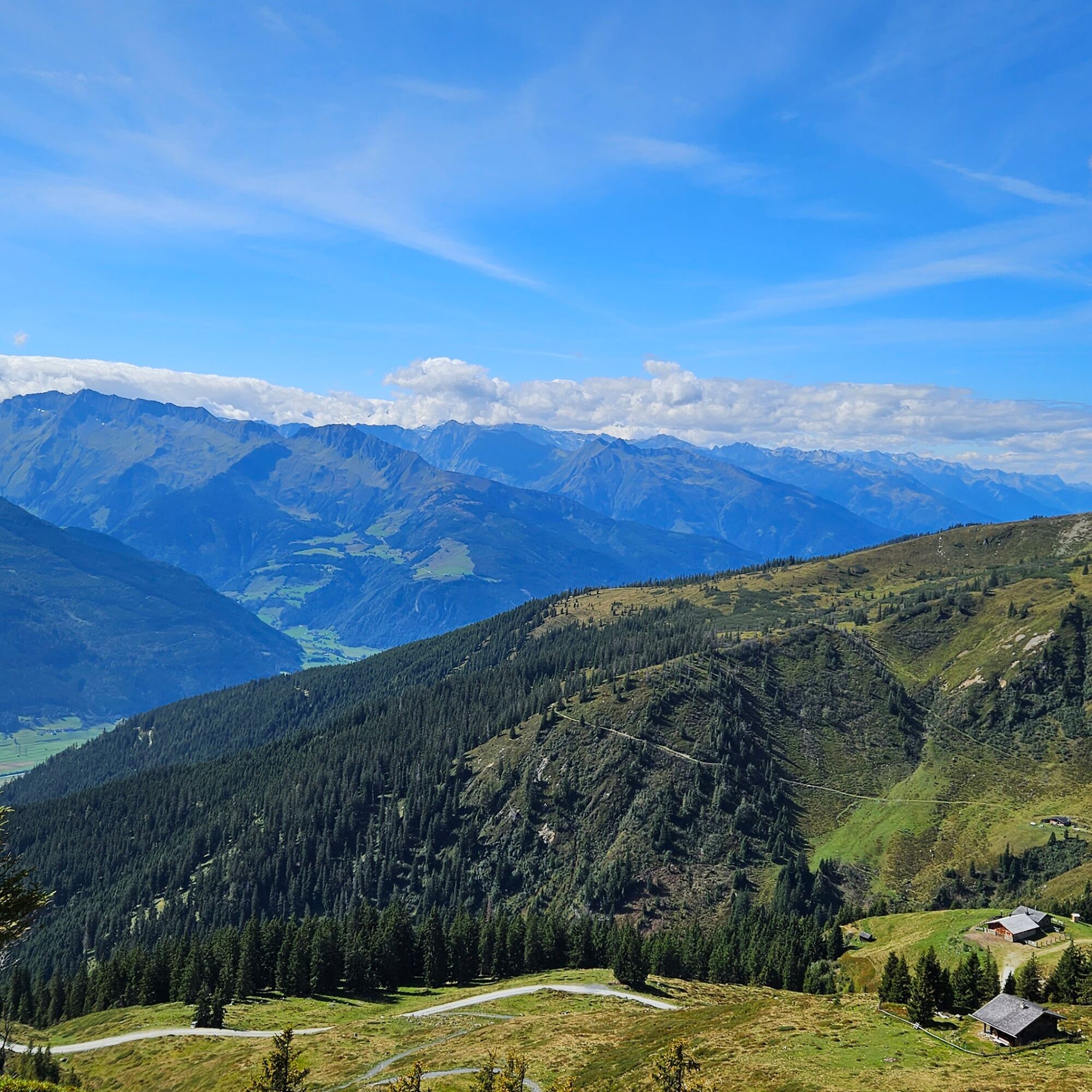
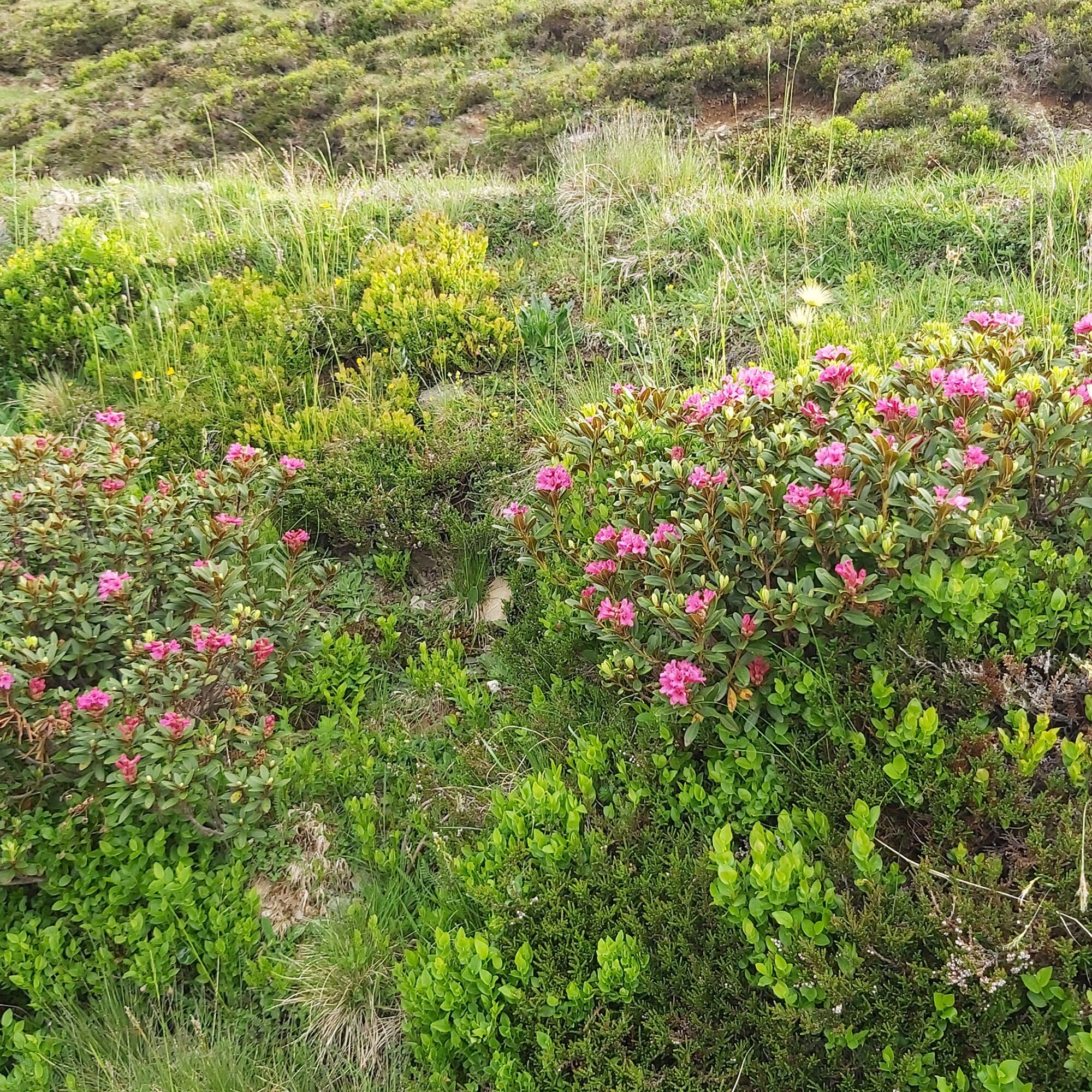
The Pinzgauer Spaziergang, at about 2,000 meters above sea level, is one of the most beautiful high-altitude trails of the Eastern Alps with a breathtaking view of the peaks of the Hohe Tauern. Throughout the route, the Salzach valley, about 1,000 m lower, lies at your feet. Above it rise well-known peaks such as the Großglockner, the Kitzsteinhorn, the Granatspitze, the Sonnblick, and the Großvenediger.
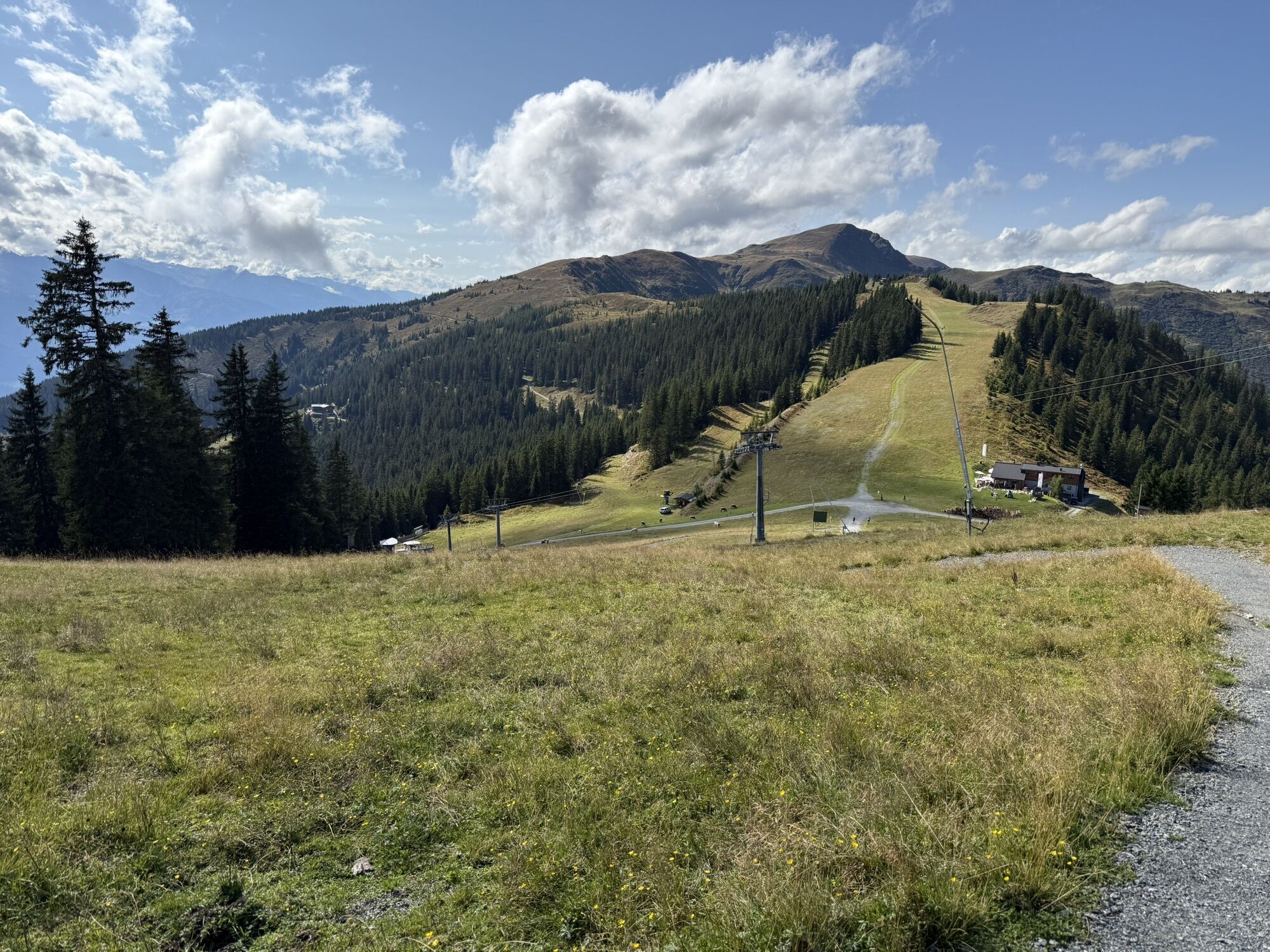
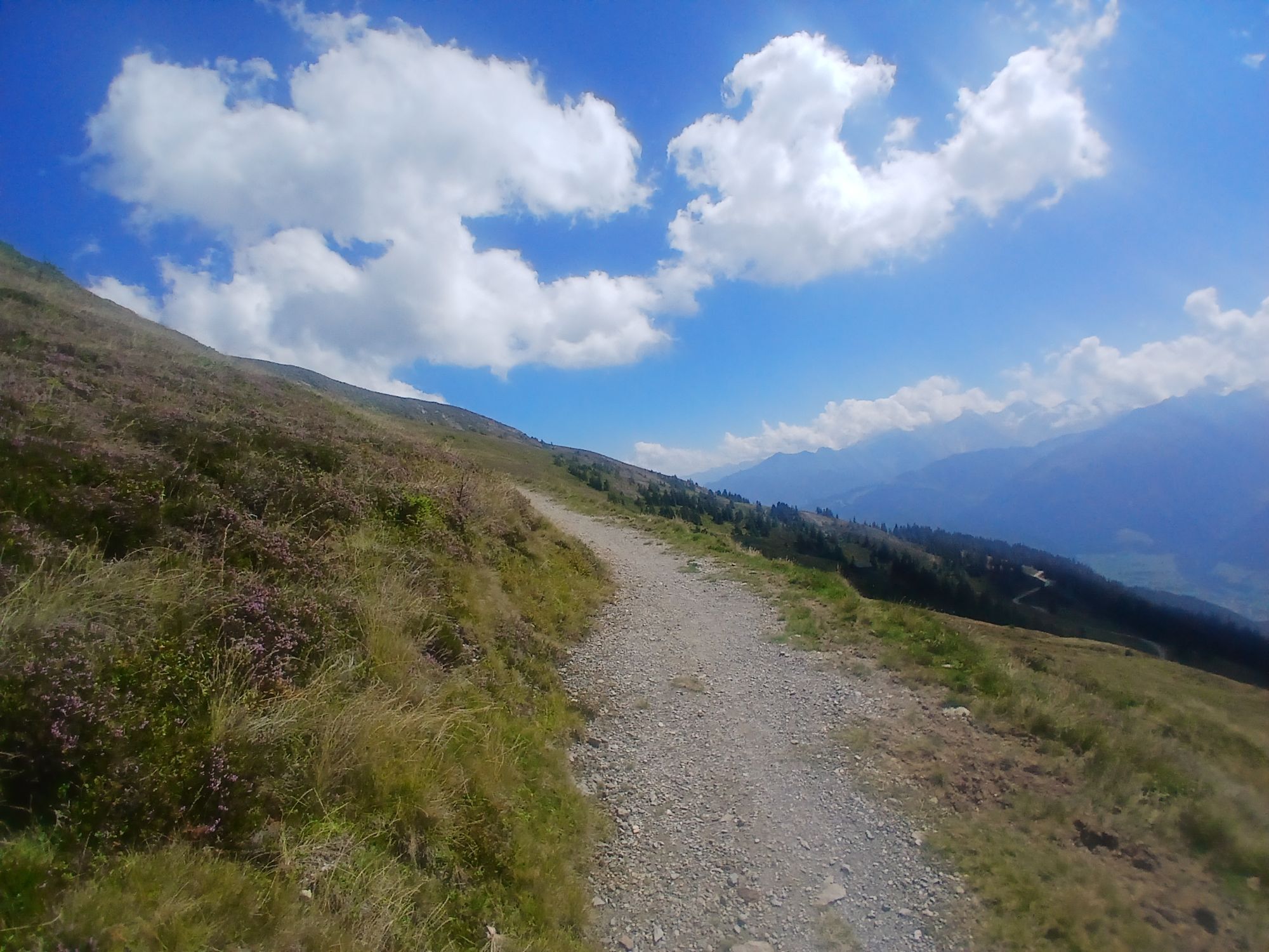
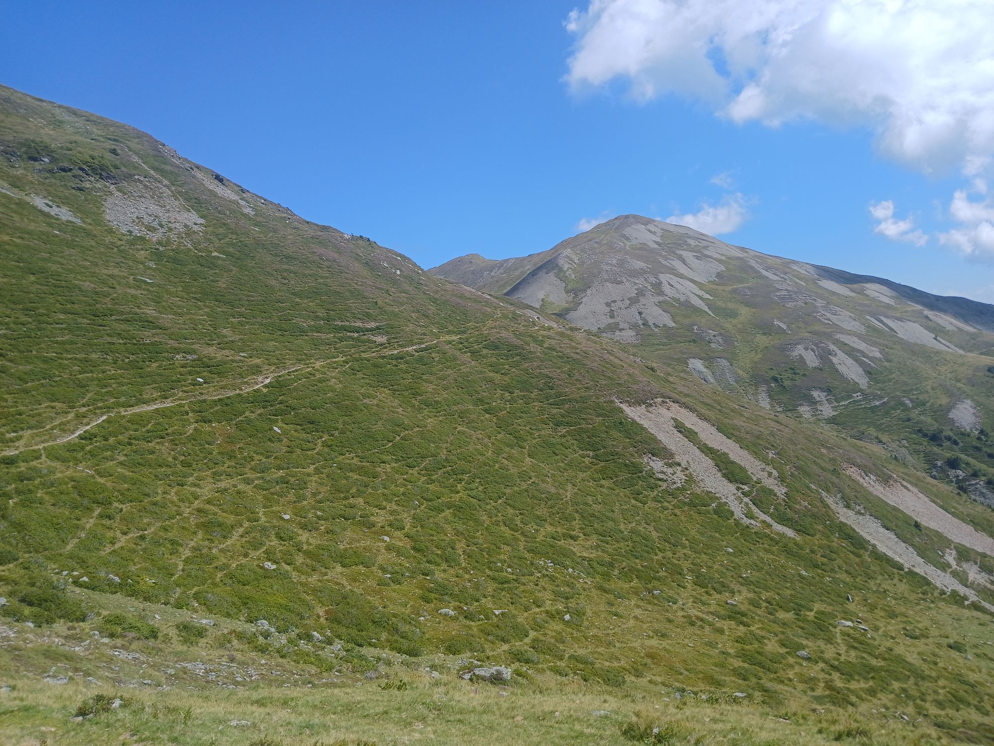
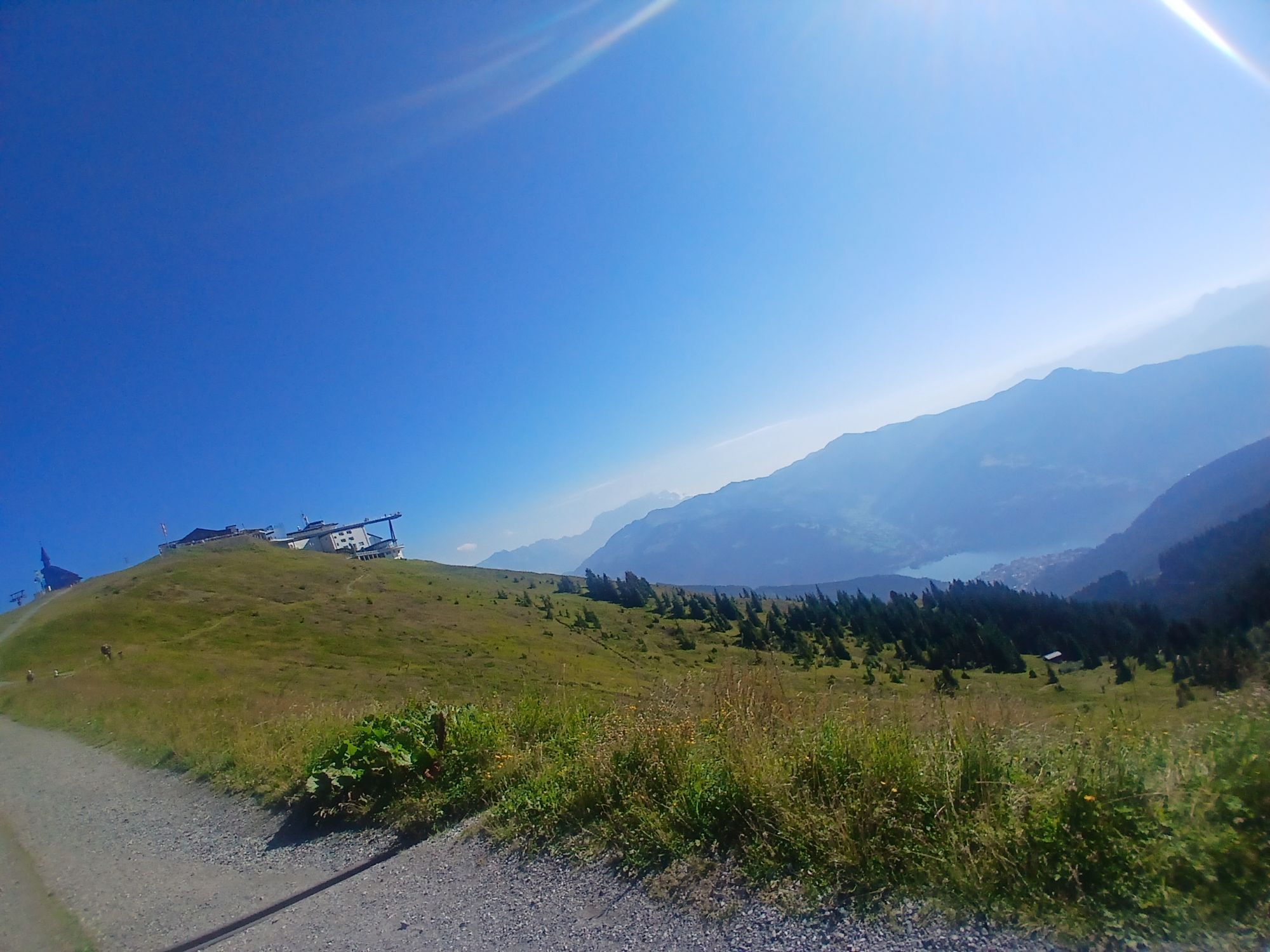
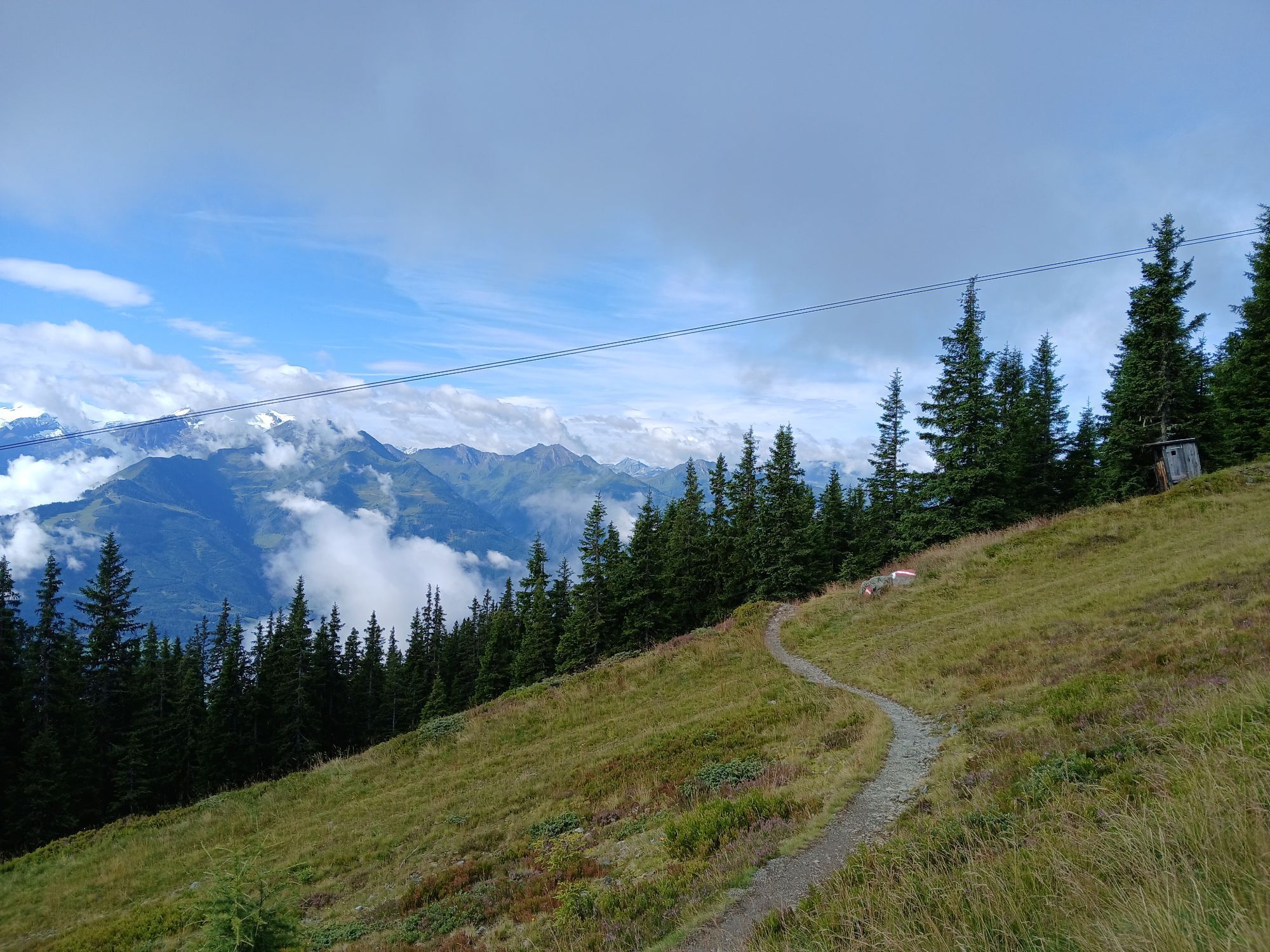
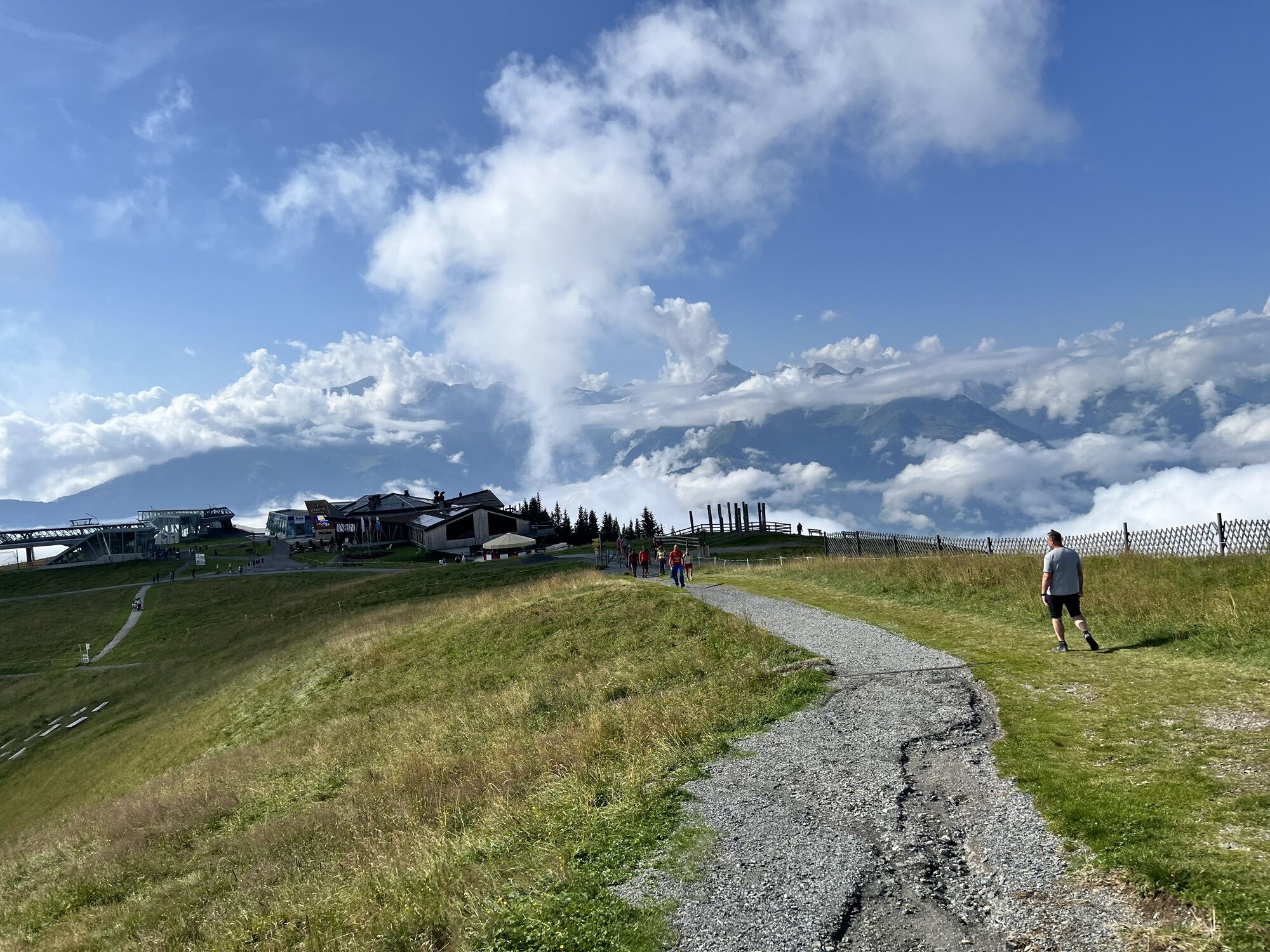
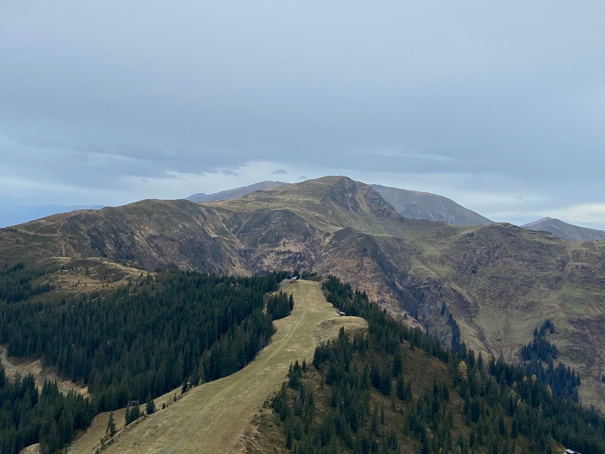
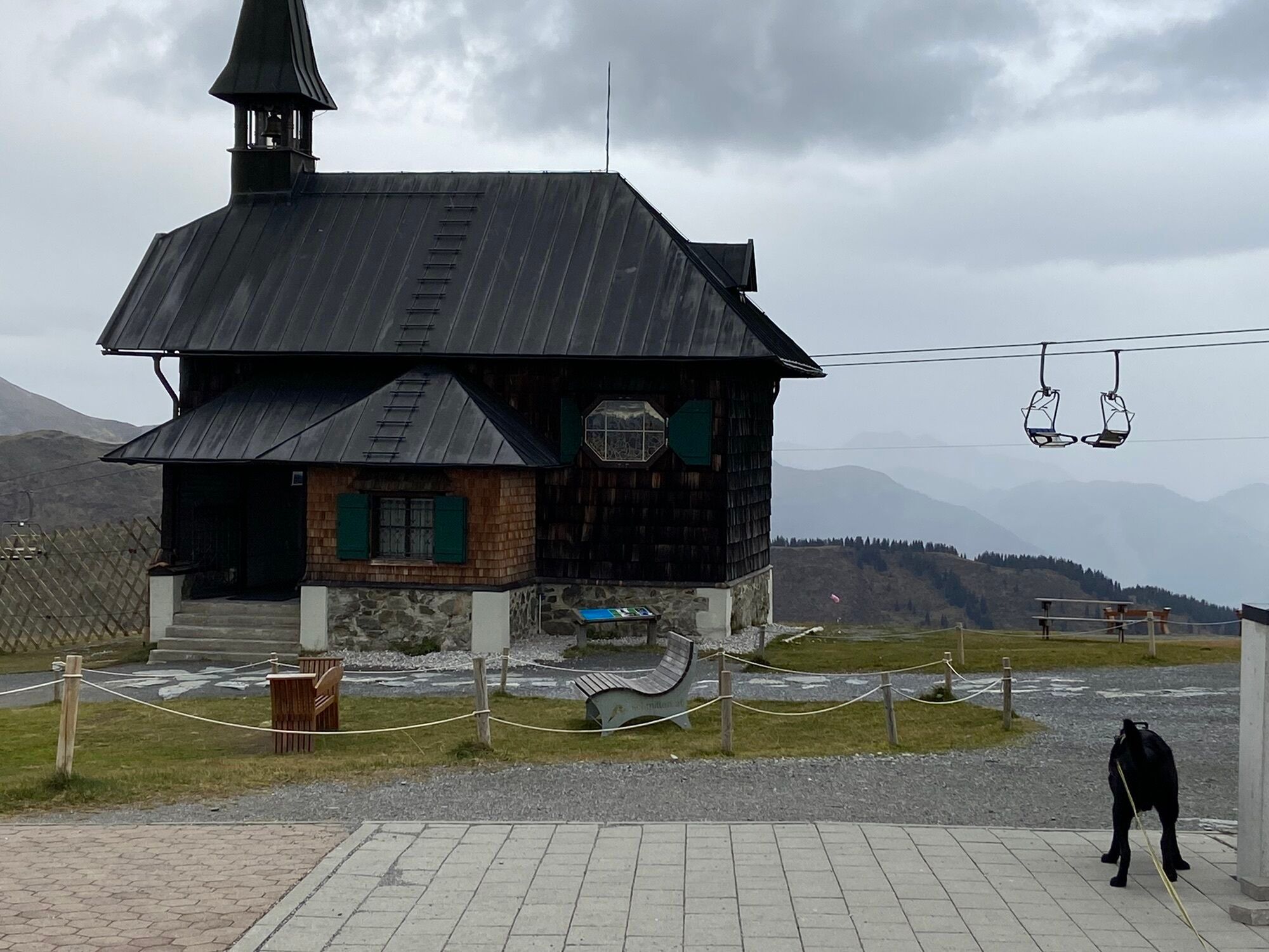
The starting point of the route is at the mountain station of the Schmittenhöhebahn after an easy ascent. The well-marked high-altitude hiking trail (path no. 19 & 719) leads westward from here, passing Kettingtörl, Kettingkopf, Kesselscharte, Rohrertörl, Kammscharte, Klingler Törl, Medalscharte, Sommertor, and over the Murauer Scharte to the Bürglhütte in Stuhlfelden.
NOTE! Hikers with good stamina can include one or the other summit experience - note that summit victories are not included in the walking time! Descents are possible to every village below - walking time approx. 3 hours.
Schmittenhöhe - Pinzgauer Hut - descent to Piesendorf: walking time between 2.5 and 3.5 hours Schmittenhöhe - Hochsonnbergalm Piesendorf - descent to Walchen: walking time between 3.5 and 4.5 hours Schmittenhöhe - Steinbachriedl - descent to Niedernsill: walking time between 5 and 6 hours Schmittenhöhe - Uttendorfer Hochsonnbergalm - descent to Uttendorf: walking time between 7.5 and 8.5 hoursÁno
Áno
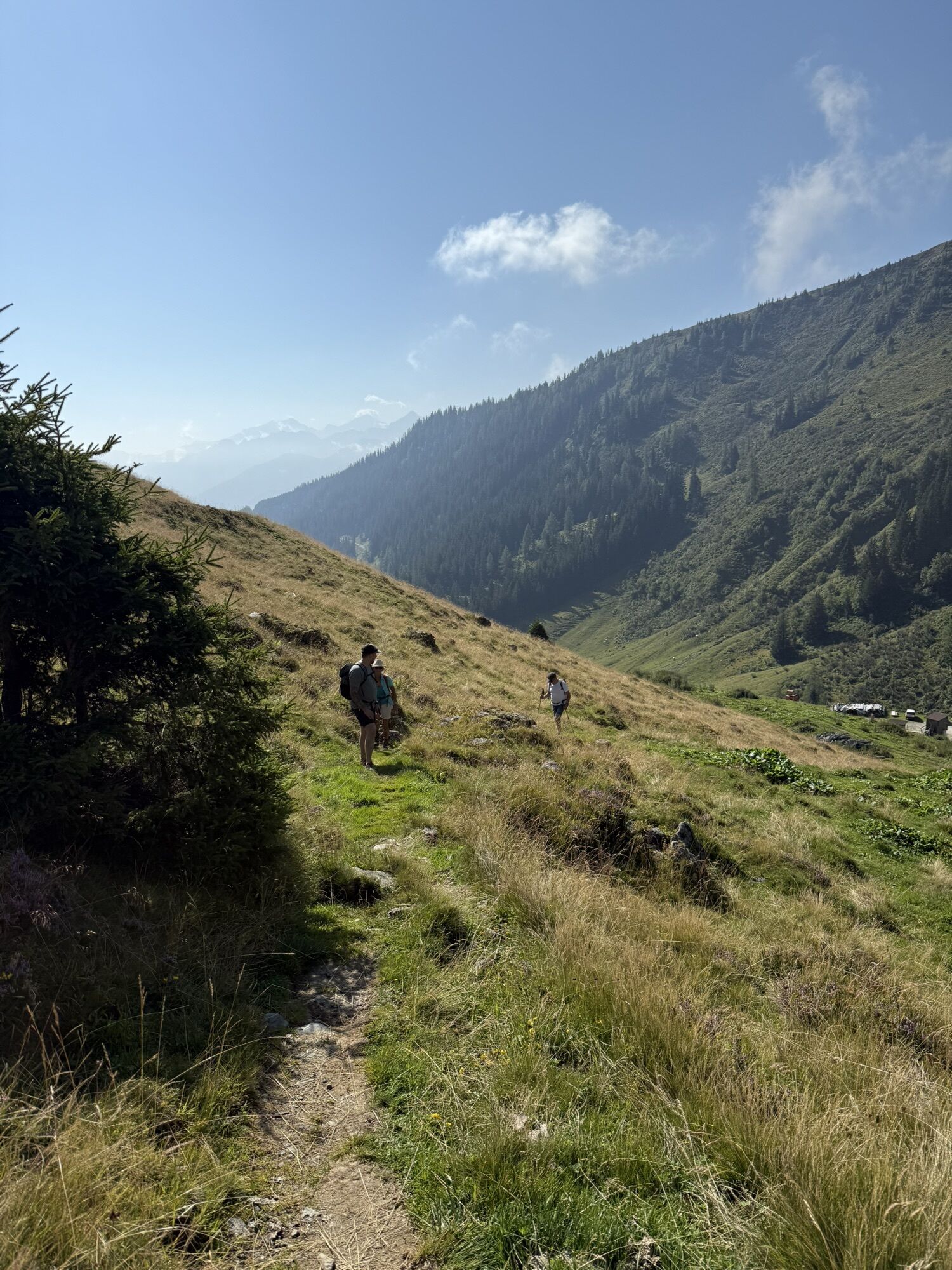
Good fitness, suitable footwear, and a certain sure-footedness are necessary. Since there are no serviced huts directly on the Pinzgauer Spaziergang, sufficient provisions (snack & drink) are necessary!
Dear nature lovers!
We hope that your snack and drinks, which you take with you on your hike, will give you the strength to carry back the packaging material and the empty cans and bottles.
We ask you to comply with the Fair Play & Code of Conduct!
Fairness and mutual consideration form the basis for living together and preserving the diverse interests in the natural area!
Sufficient parking is available at the valley station of the Schmittenhöhebahn.
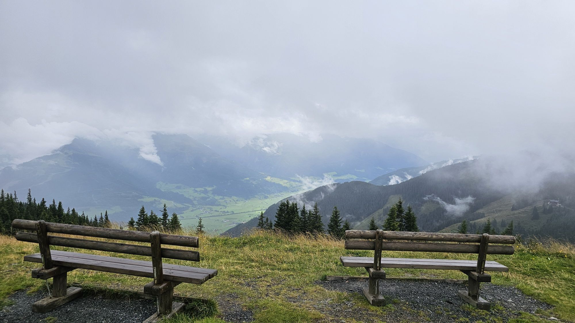
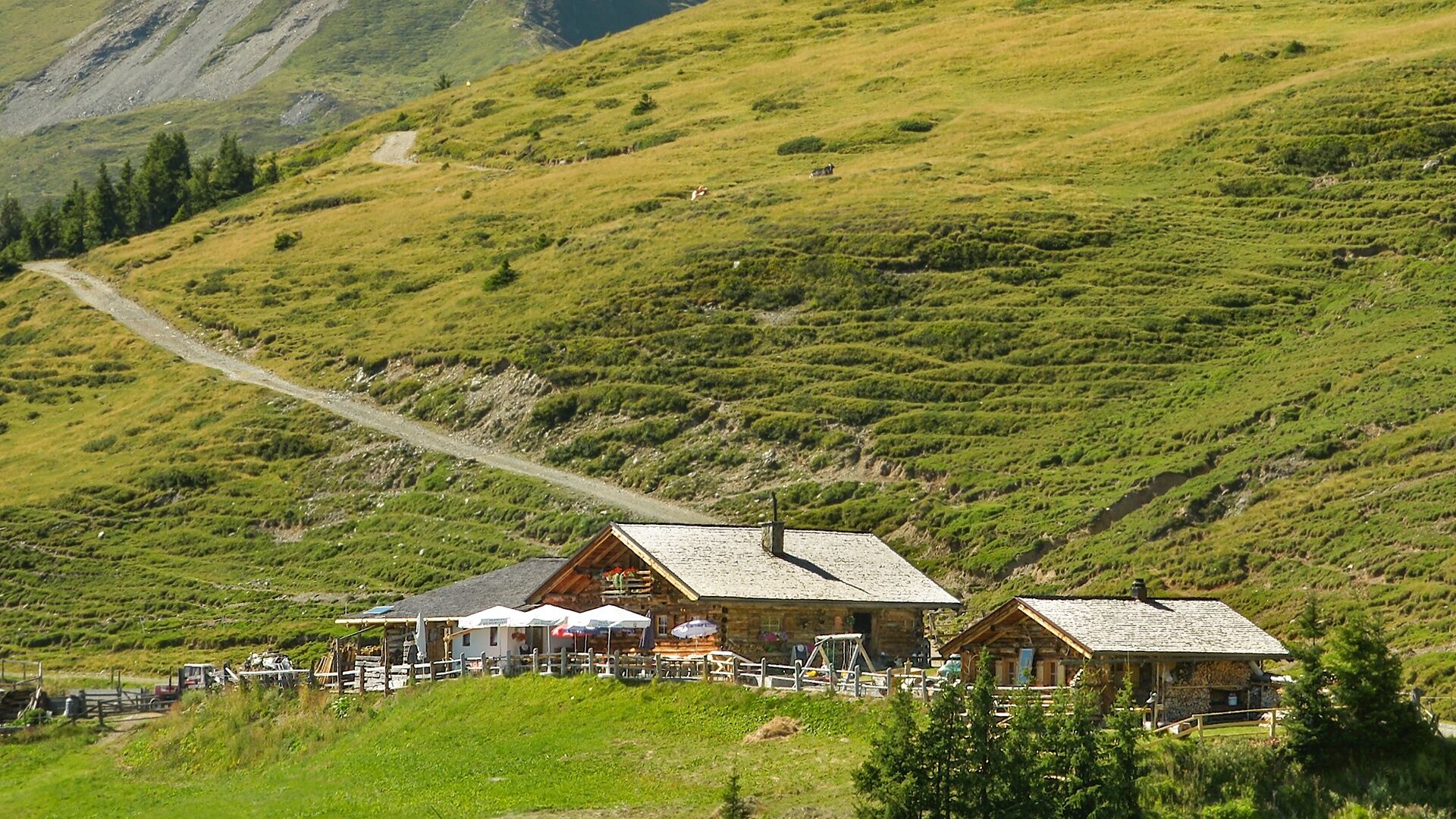
The serviced huts are not located directly on the Pinzgauer Spaziergang.
Obľúbené výlety v okolí
-
4,8
Sigmund Thun Klamm, Klammsee, Bürgkogel
svetloTuristika 4,56 km -
4,0
Maurerkogel (Top)
Turistika 10,5 km -
4,9
Hochsonnberg Runde
strednáMountainbike 59,8 km -
4,5
Thumersbach, Runde um den Zeller See
svetloTuristika 13,3 km -
4,4
Sigmund Thun Klamm
svetloTuristika 3,10 km -
4,0
Berg der Sinne
svetloTuristika 4,39 km -
5,0
Panorama route 3 peaks and 2 lakes
strednáTuristika 7,21 km -
5,0
Leo’s play hiking trail
svetloTematická trasa 4,89 km -
4,2
Saalachtaler Höhenweg EAST (Asitz - Biberg)
strednáTuristika 13,1 km -
4,7
Tristkogel
ťažkéTuristika 15,6 km
Turistika a stopovanie


Nenechajte si ujsť ponuky a inšpiráciu na ďalšiu dovolenku
Vaša e-mailová adresa bol pridaný do poštového zoznamu.