


Vorderkaserklamm
Fotografie našich používateľov
-
 © Noel FamilyVytvorené dňa 07.09.2025
 -
 © Noel FamilyVytvorené dňa 07.09.2025
 -
 © Noel FamilyVytvorené dňa 07.09.2025
 -
 © Noel FamilyVytvorené dňa 07.09.2025
 -
 © Noel FamilyVytvorené dňa 07.09.2025
 -
 © Noel FamilyVytvorené dňa 07.09.2025
 -
 © Noel FamilyVytvorené dňa 07.09.2025
 -
 © Noel FamilyVytvorené dňa 07.09.2025
 -
 © webwolf67Vytvorené dňa 11.08.2024
 -
 © webwolf67Vytvorené dňa 11.08.2024
 -
 © webwolf67Vytvorené dňa 11.08.2024
 -

 © radlpetVytvorené dňa 17.01.2023
 -
 © radlpetVytvorené dňa 17.01.2023
 -
 © radlpetVytvorené dňa 17.01.2023


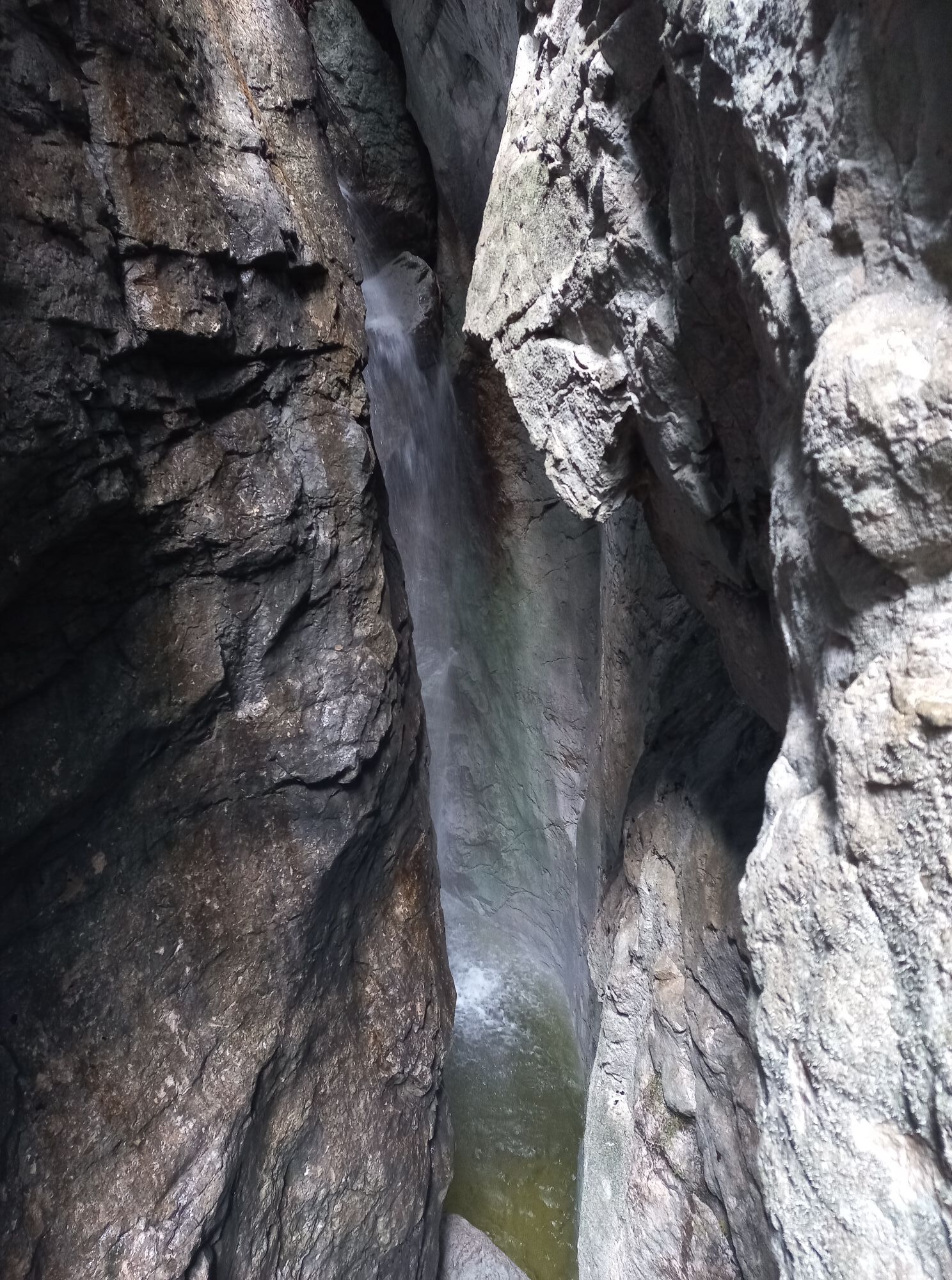
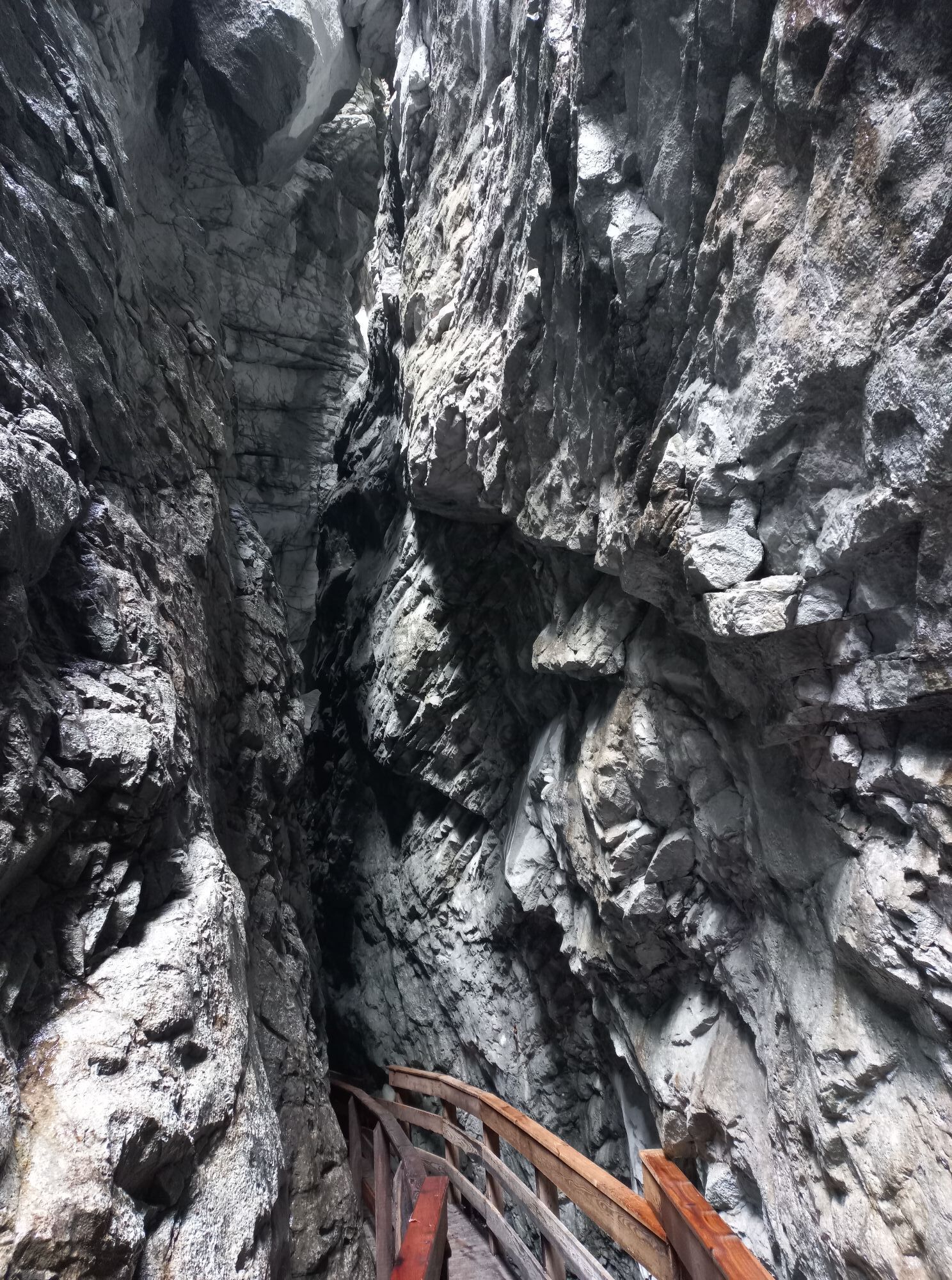

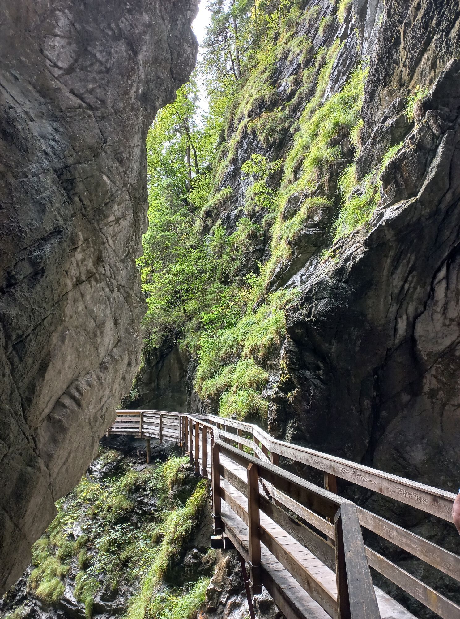

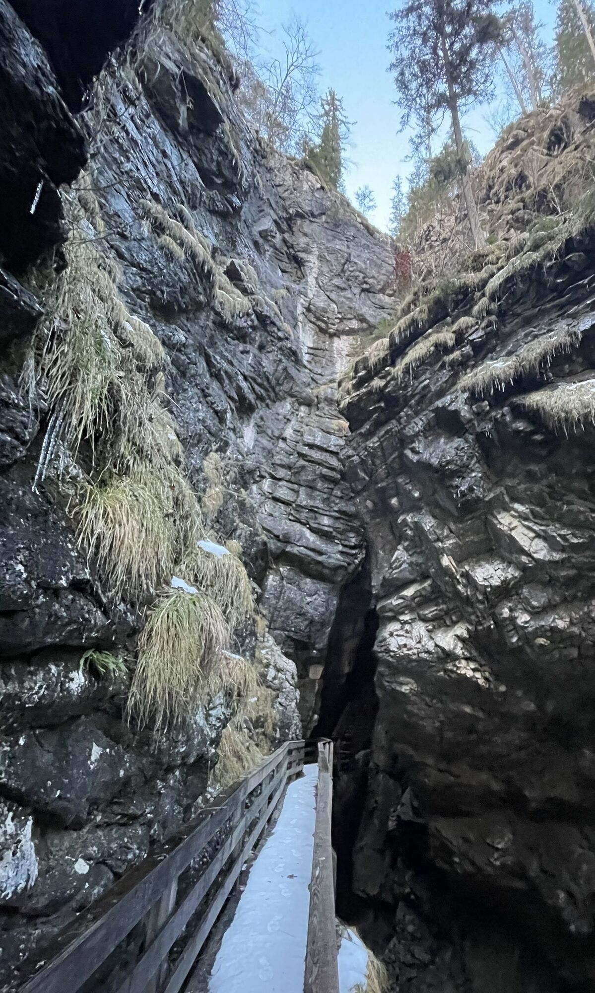
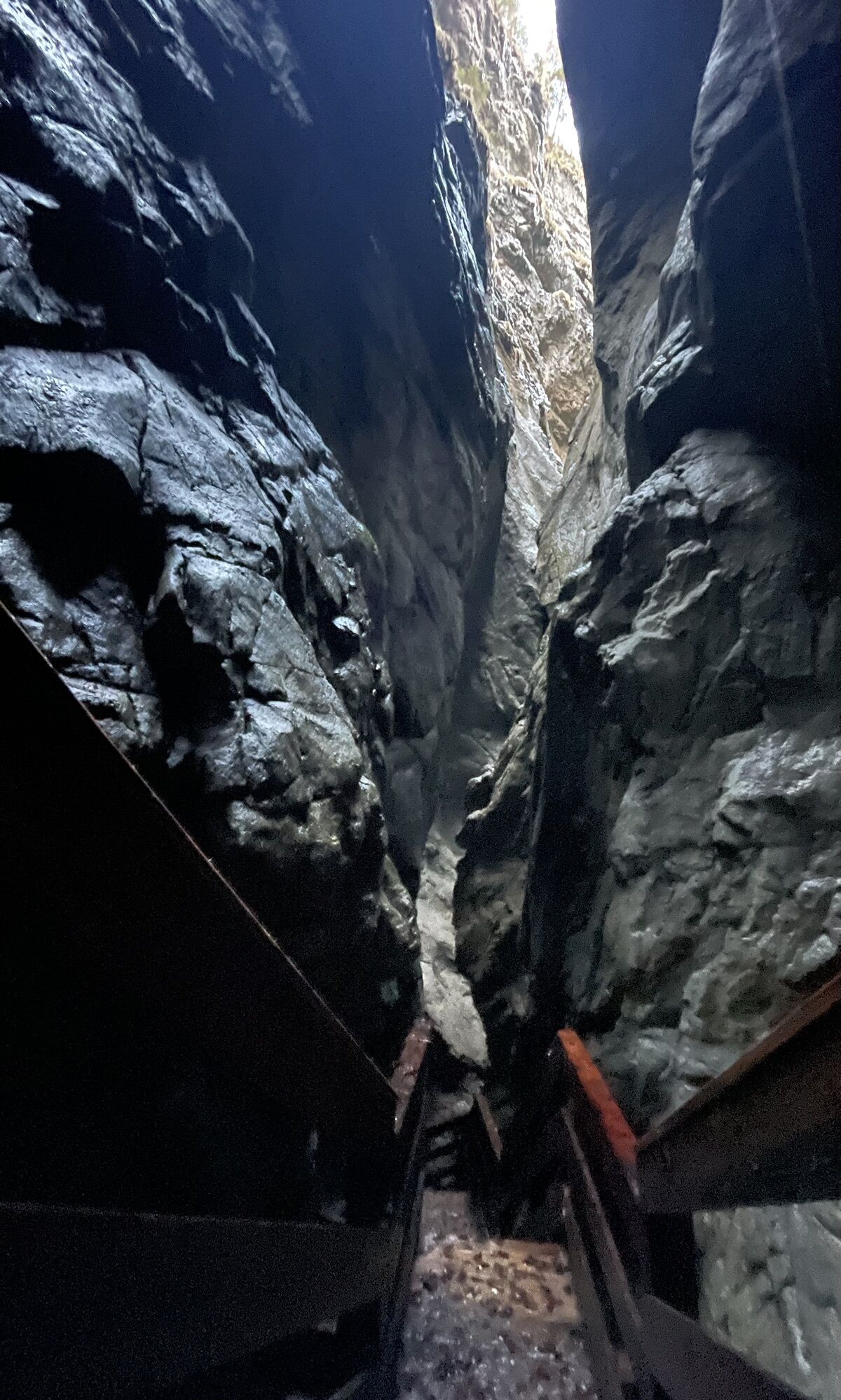
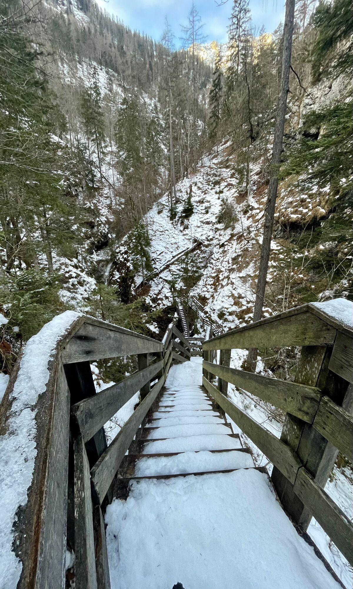
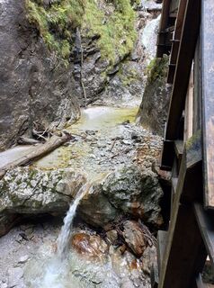
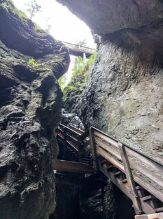
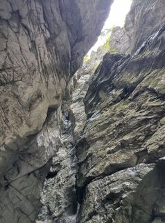
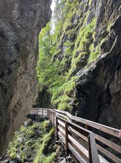
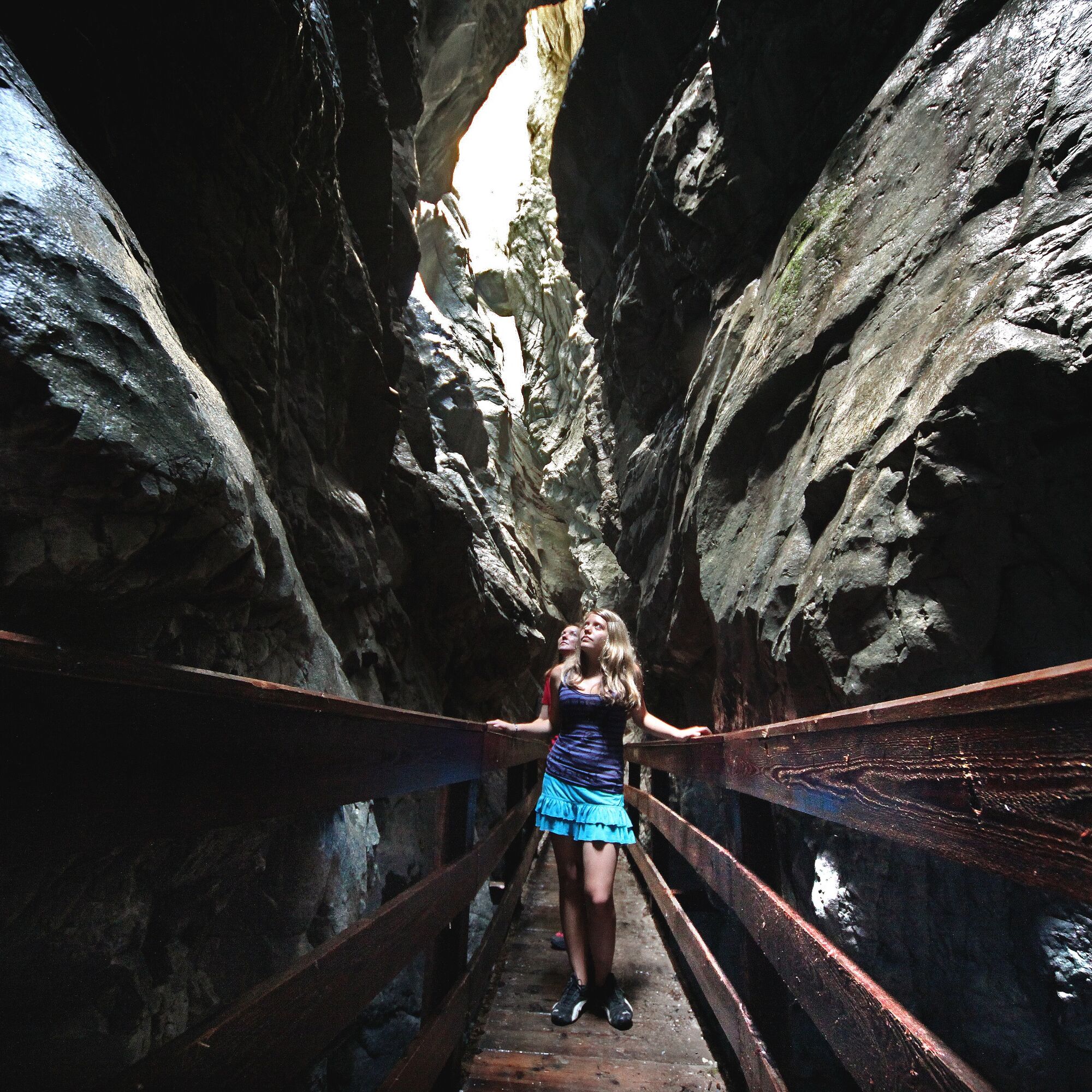
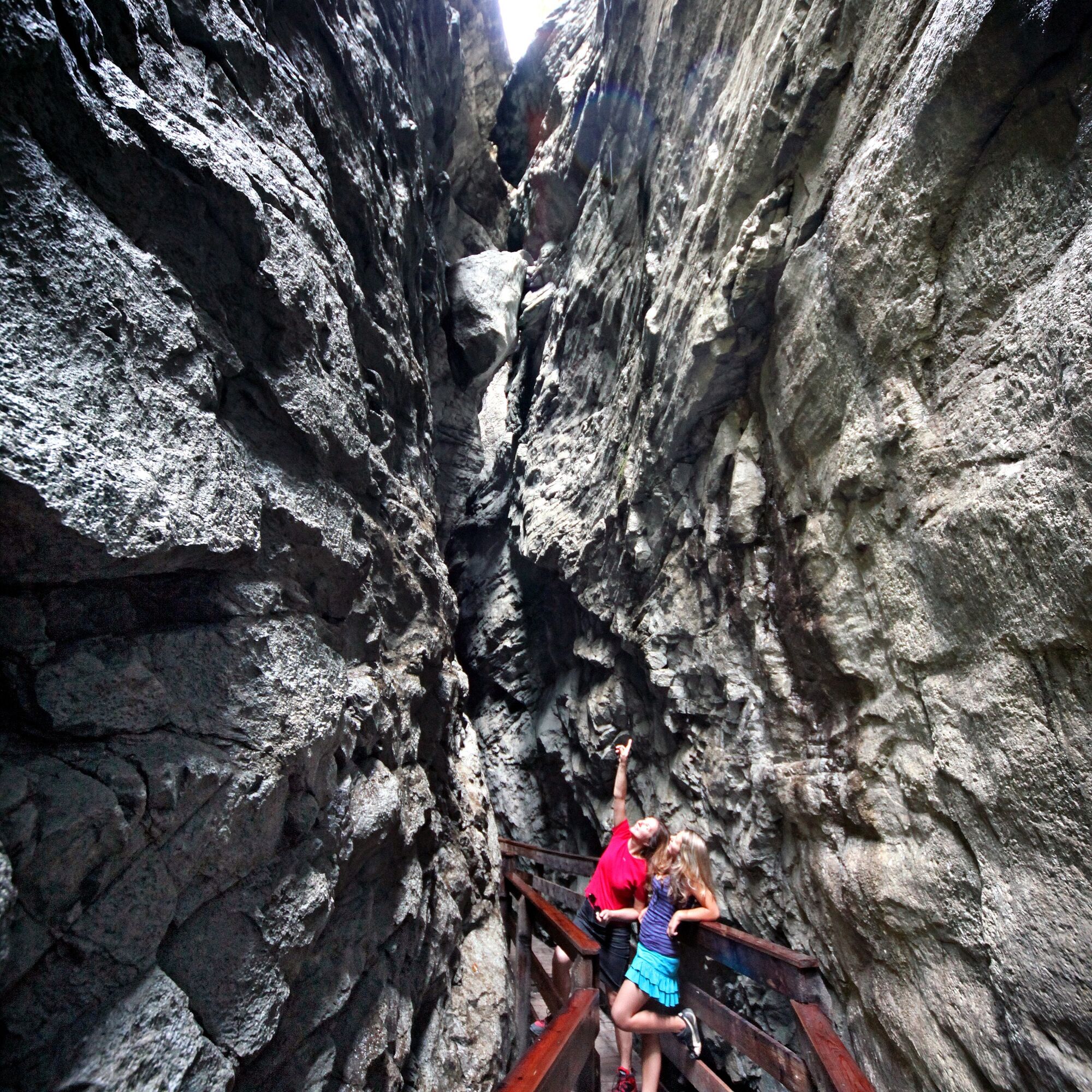
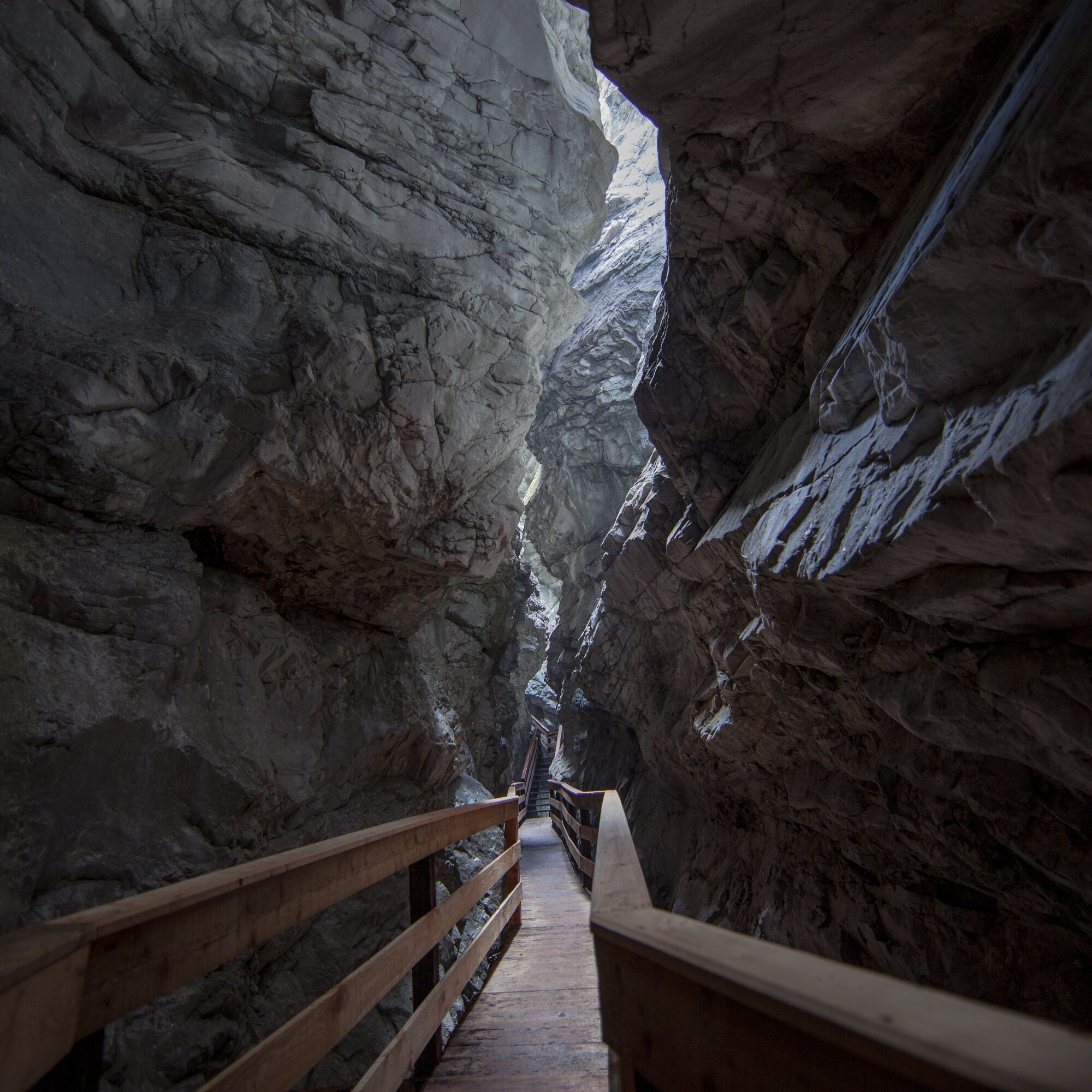
12,000 to 14,000 years ago, when the glacial ice age glaciers had melted, the Ödenbach began to carve into the hard rock. Today, the gorge is 400 meters long, 80 meters deep, up to six meters wide at the...
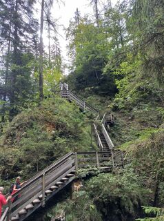
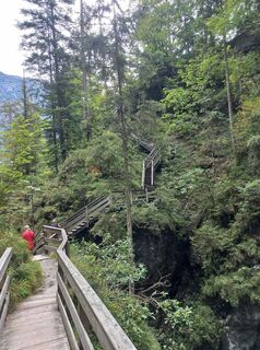
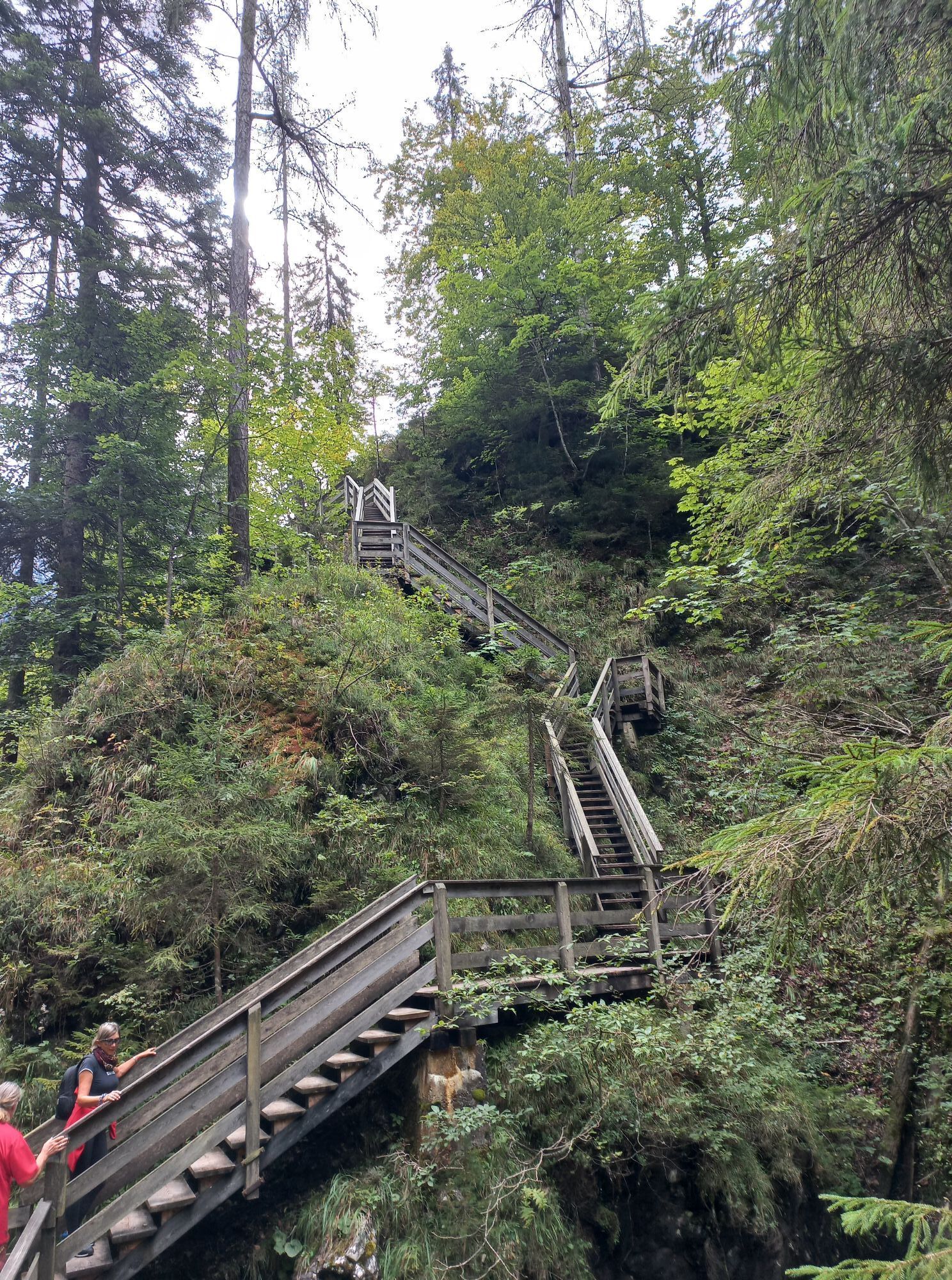
12,000 to 14,000 years ago, when the glacial ice age glaciers had melted, the Ödenbach began to carve into the hard rock. Today, the gorge is 400 meters long, 80 meters deep, up to six meters wide at the top and 80 centimeters narrow at the bottom. The extremely exciting path through the gorge passes over 51 footbridges and 35 staircases with a total of 373 steps.
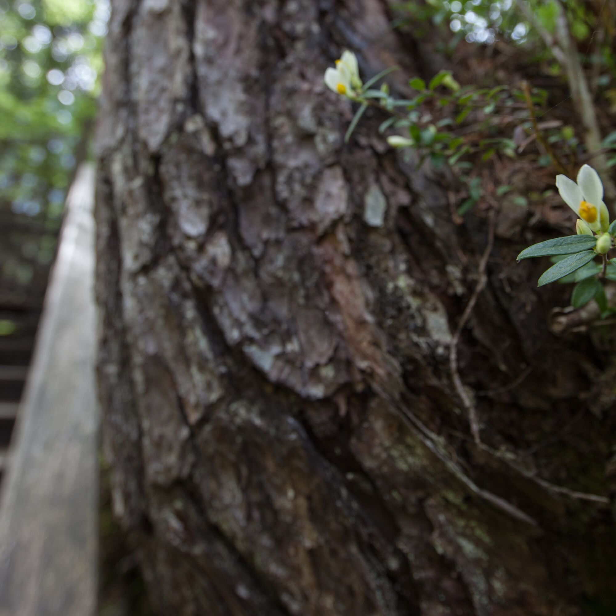
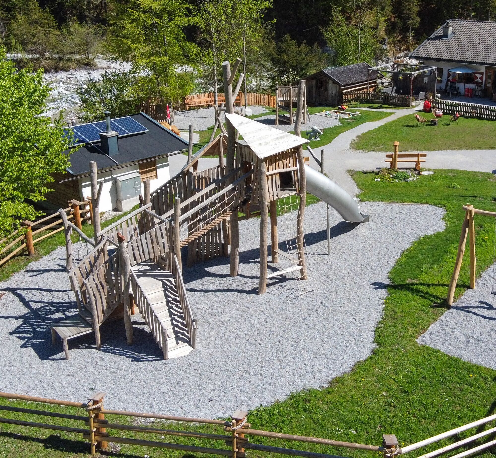
On the way to the Vorderkaserklamm over about 2 kilometers, you embark on an exciting journey into the Stone Age. Visitors to the Stone Age trail, especially children, are playfully introduced to the way of life of earlier times.
Experience-rich and at the same time informative climbing and rope stations made of wood, as well as a mammoth and a sabre-toothed tiger in original size, await explorers along the way. An adventurous journey into the Stone Age.

Circular hike through the Vorderkaserklamm.
Áno
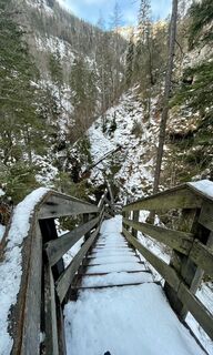
Hiking equipment, sturdy footwear is an advantage.
Do not leave the footbridges
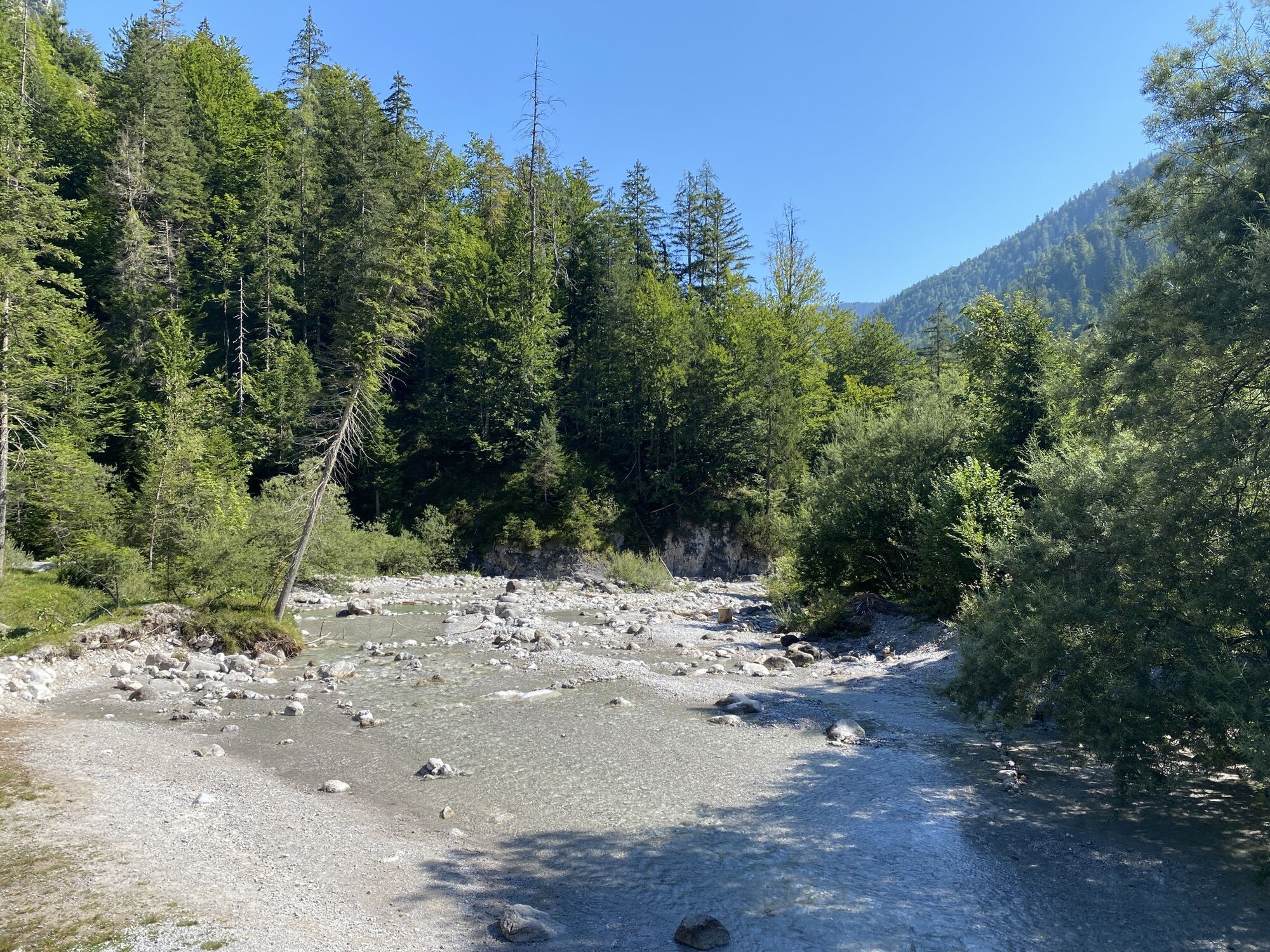
The exit to the Vorderkaserklamm is located on the B311 between Lofer and St. Martin. You can park directly at the federal road exit and hike via the approx. 2-kilometer-long Stone Age adventure path to the gorge.
Or you drive by car to the entrance of the Vorderkaserklamm and park there.
By bus line 260 to the stop St. Martin/Vorderkaserklamm (Schedule)
Shortly after the exit from the federal road (toll) or right at the Jausenstation Vorderkaser.
https://www.vorderkaserklamm.eu/
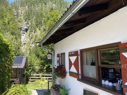
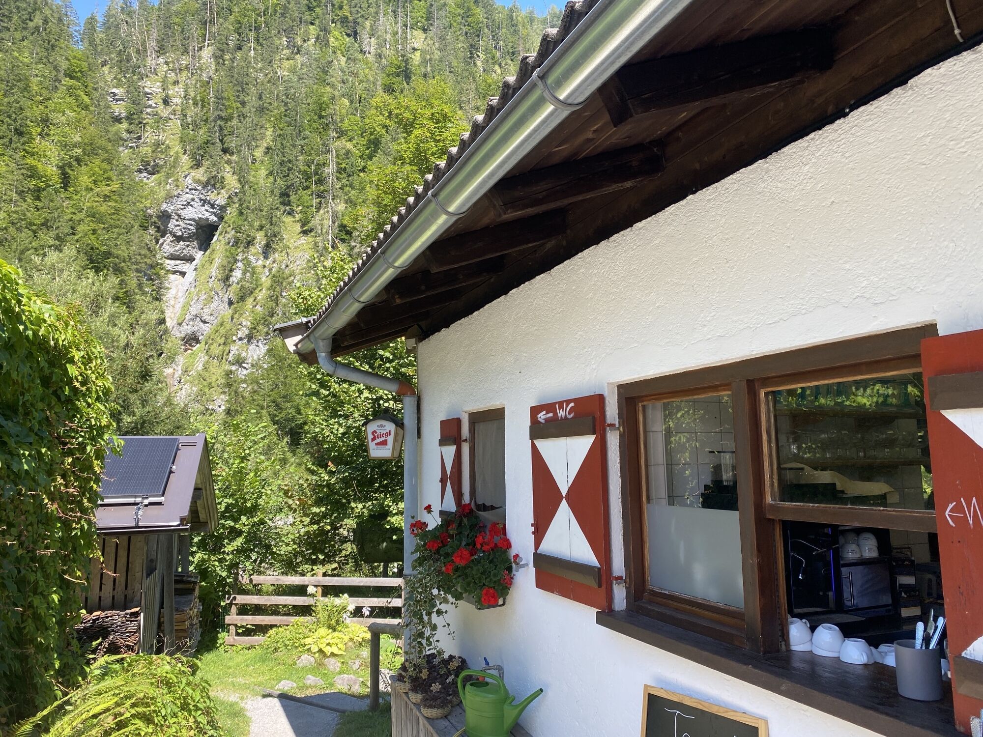
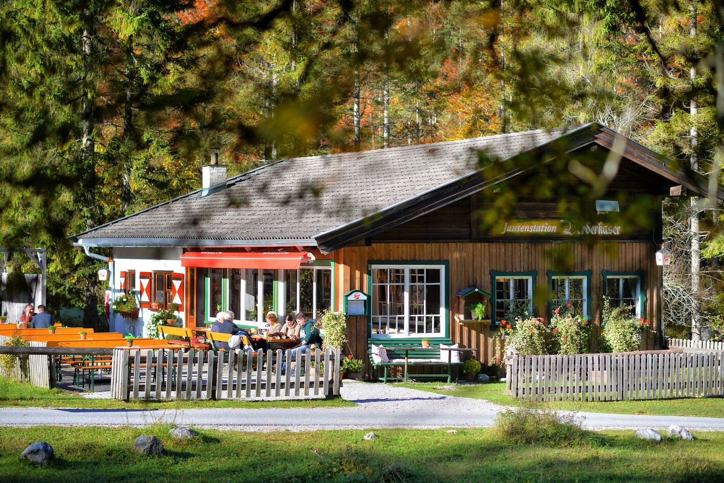
A great Kaiserschmarn awaits hungry hikers at the Jausenstation Vorderkaser, at the entrance to the Vorderkaserklamm.
Obľúbené výlety v okolí
-
4,2
Halsalm
Turistika 6,43 km -
4,6
Steinalm
svetloTuristika 2,71 km -
4,3
Peter-Wiechenthaler Hut
strednáTuristika 4,32 km -
4,8
Loferer Steinberge, zum Hinterhorn über die Schmid-Zabierow Hütte, 19.06.22
ťažkéTuristika 14,0 km -
4,1
Passauer Hütte
ťažkéTuristika 4,14 km -
4,4
Birnbachloch
strednáTuristika 6,40 km -
4,5
Birnbachloch Leogang, Österreich
strednáTuristika 5,18 km -
4,5
Rundweg vom Hintersee zur Halsalm
strednáTuristika 9,53 km -
4,7
Over the waterfall trail into the Almenwelt Lofer
strednáTuristika 3,29 km -
4,0
Berg der Sinne
svetloTuristika 4,39 km

Turistika a stopovanie


Nenechajte si ujsť ponuky a inšpiráciu na ďalšiu dovolenku
Vaša e-mailová adresa bol pridaný do poštového zoznamu.