






Winter hike from Jufenalm to Hinterthal

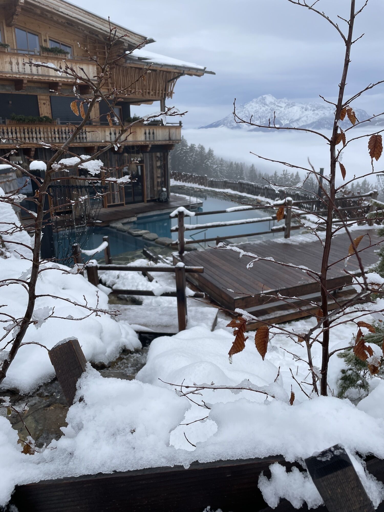
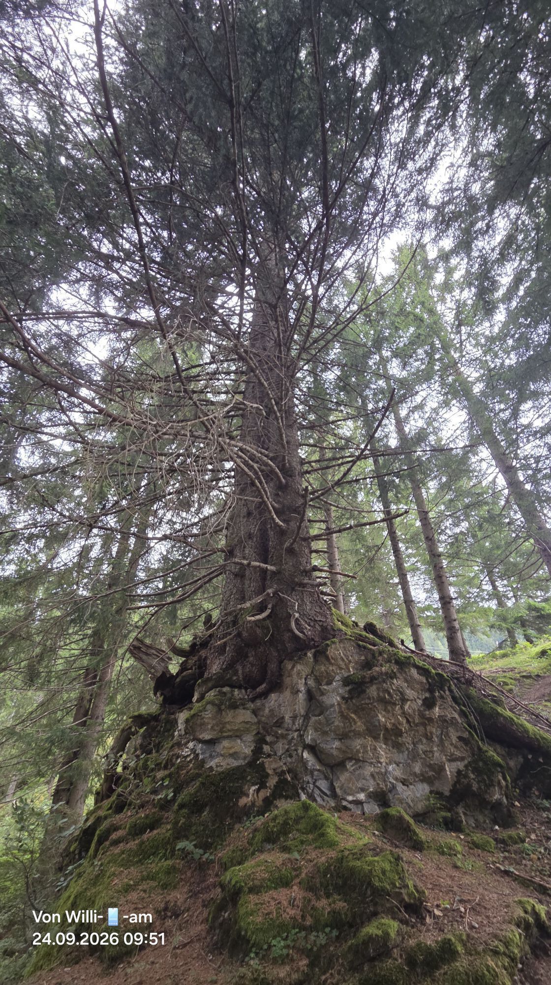
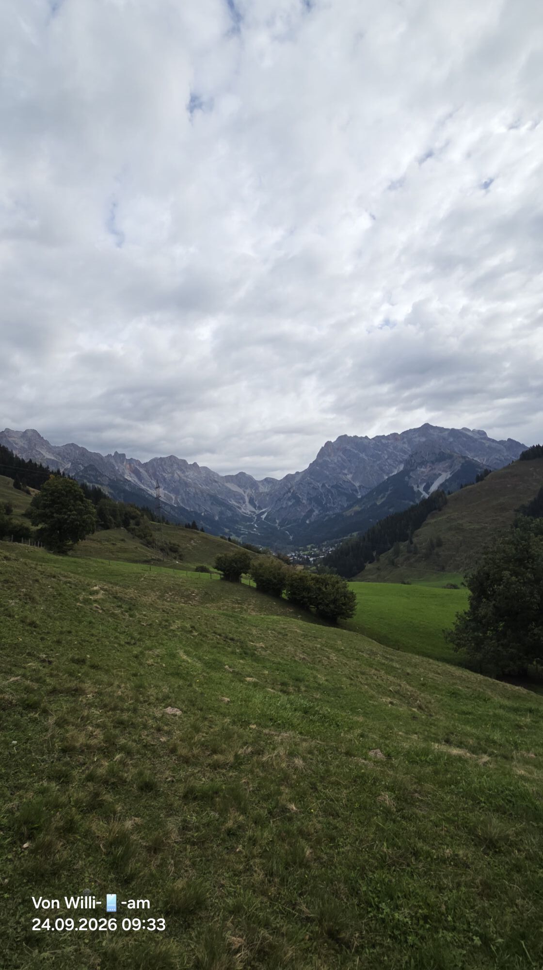
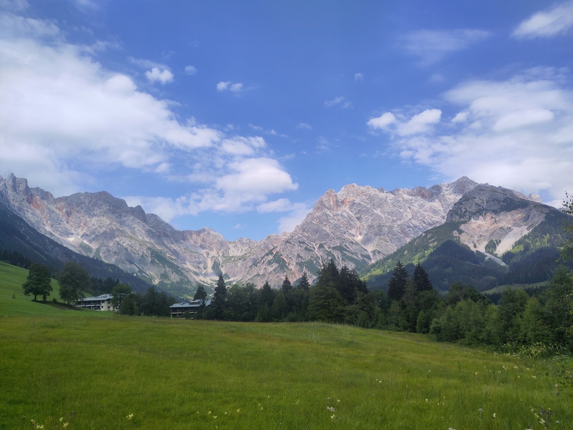
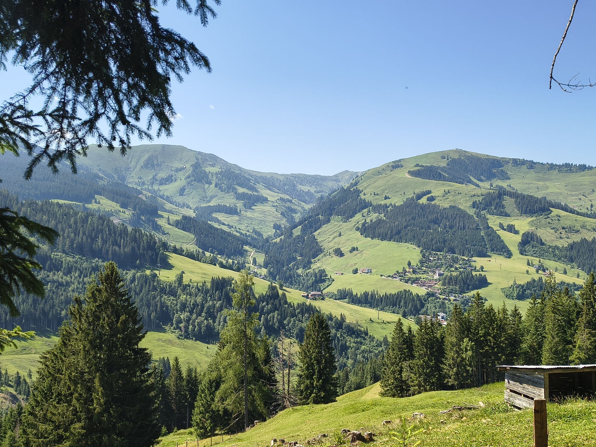
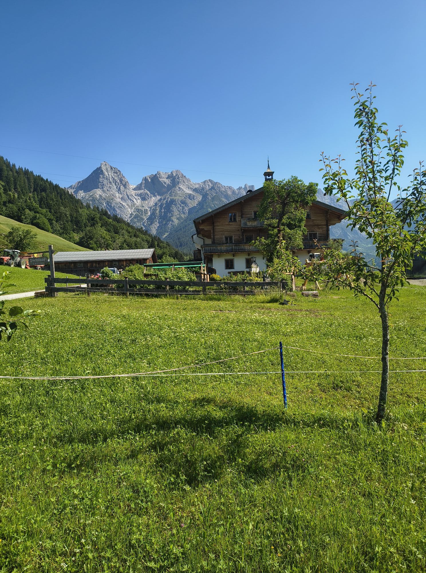
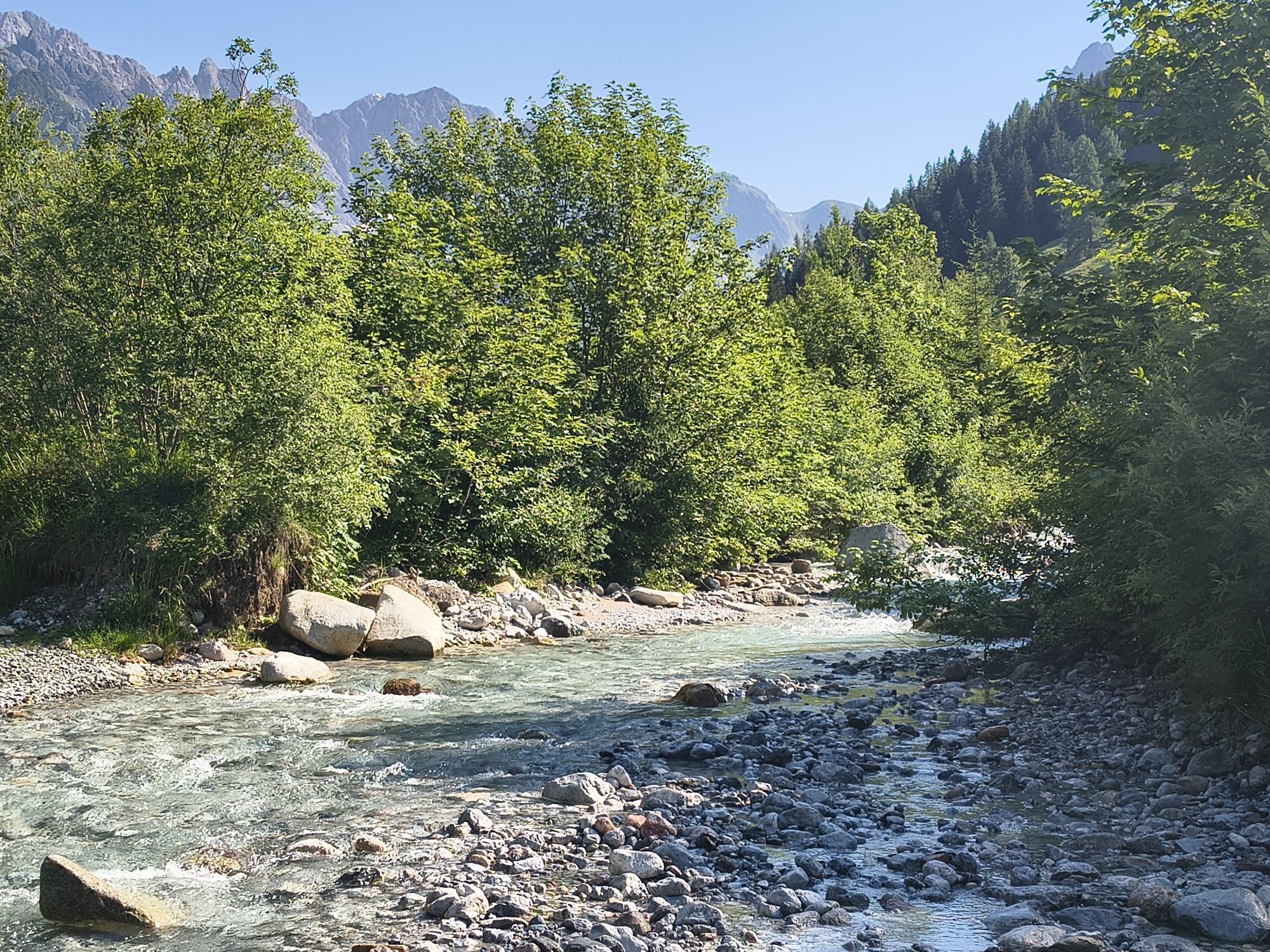
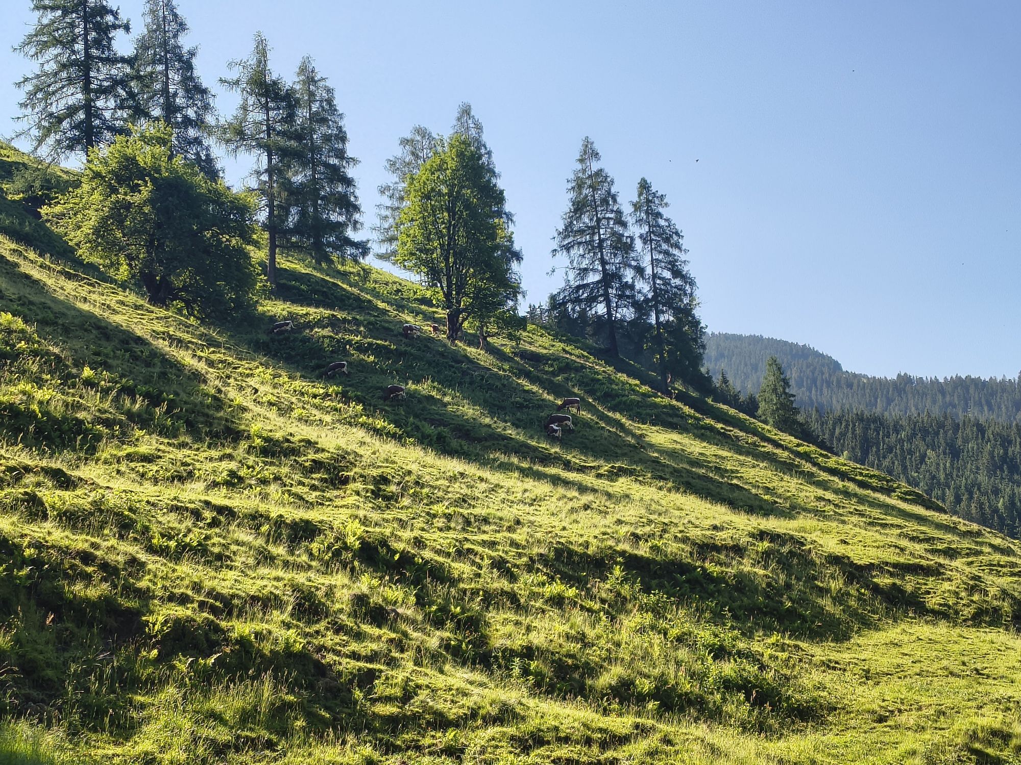
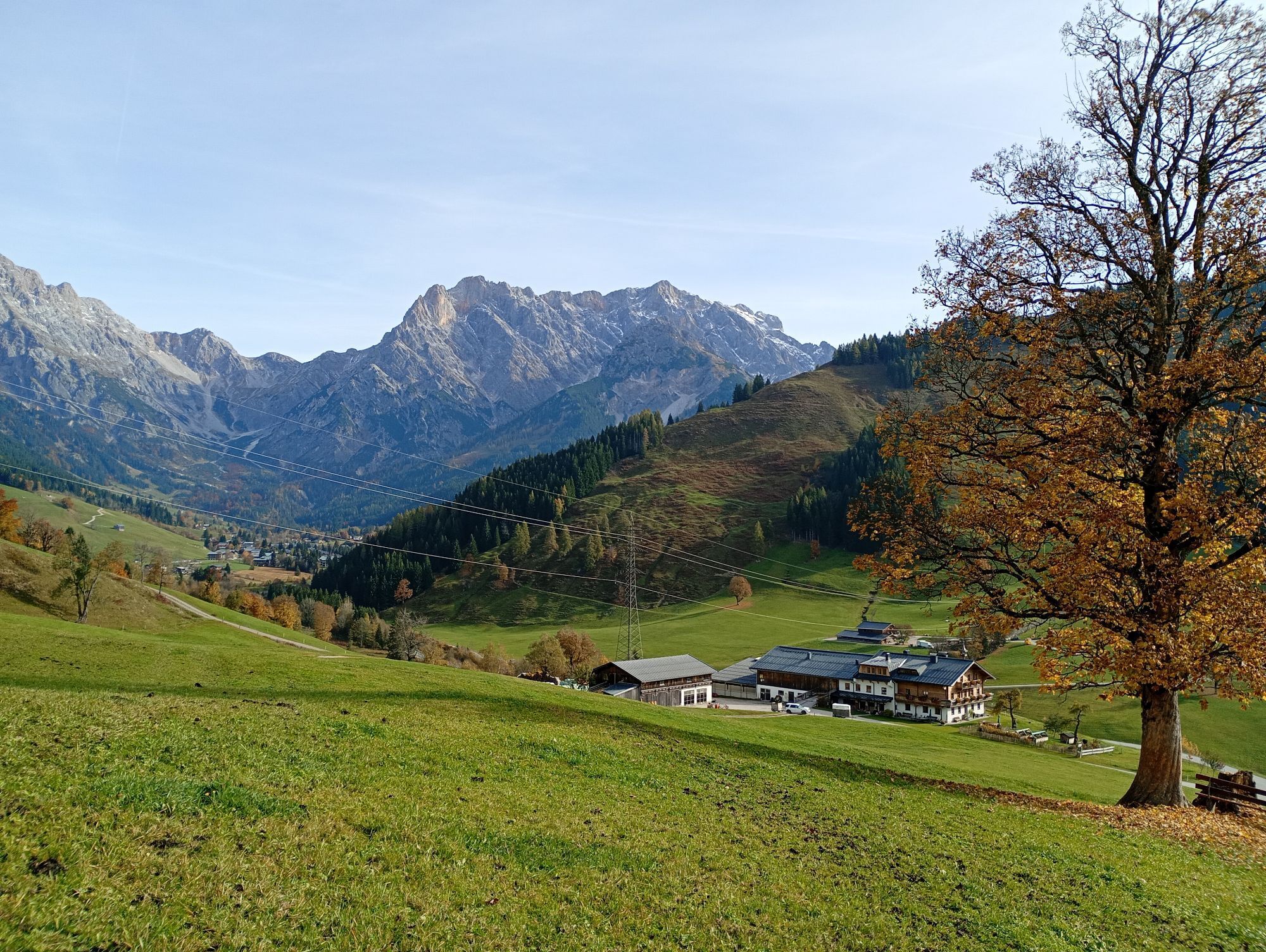
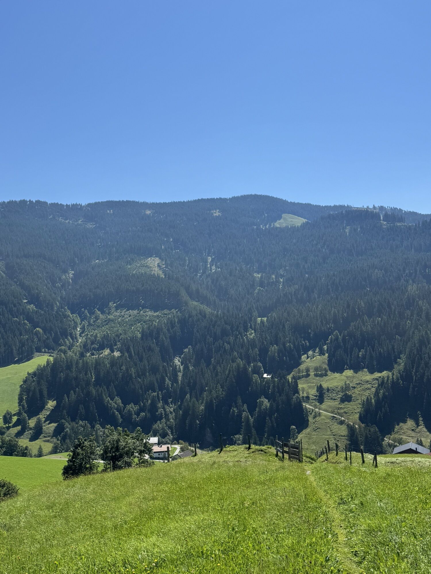
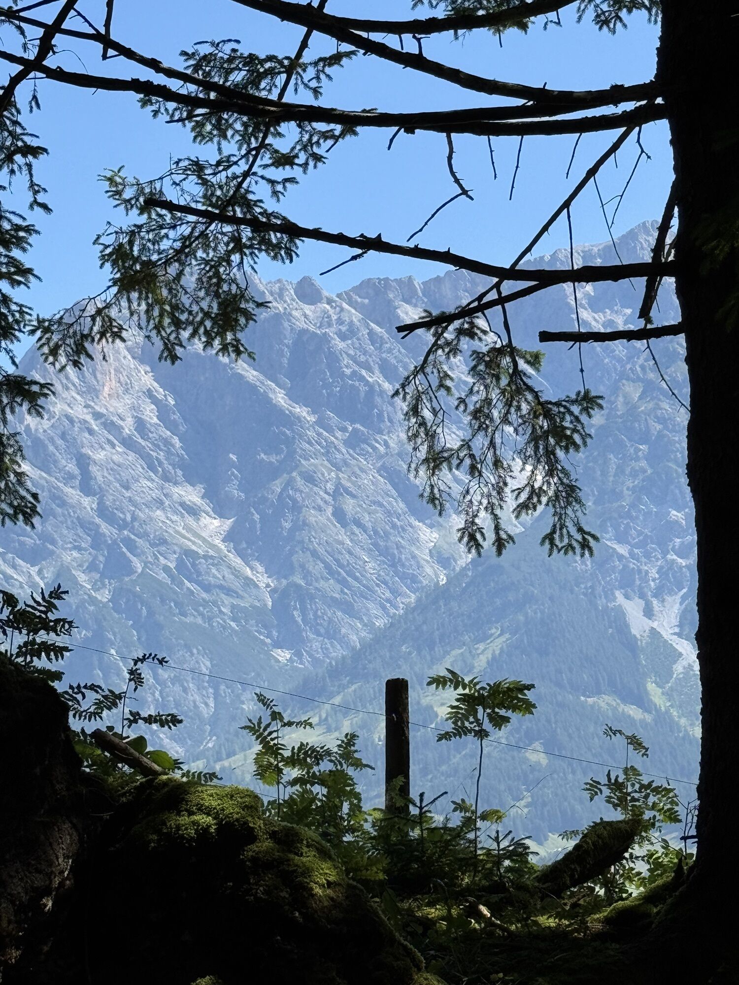
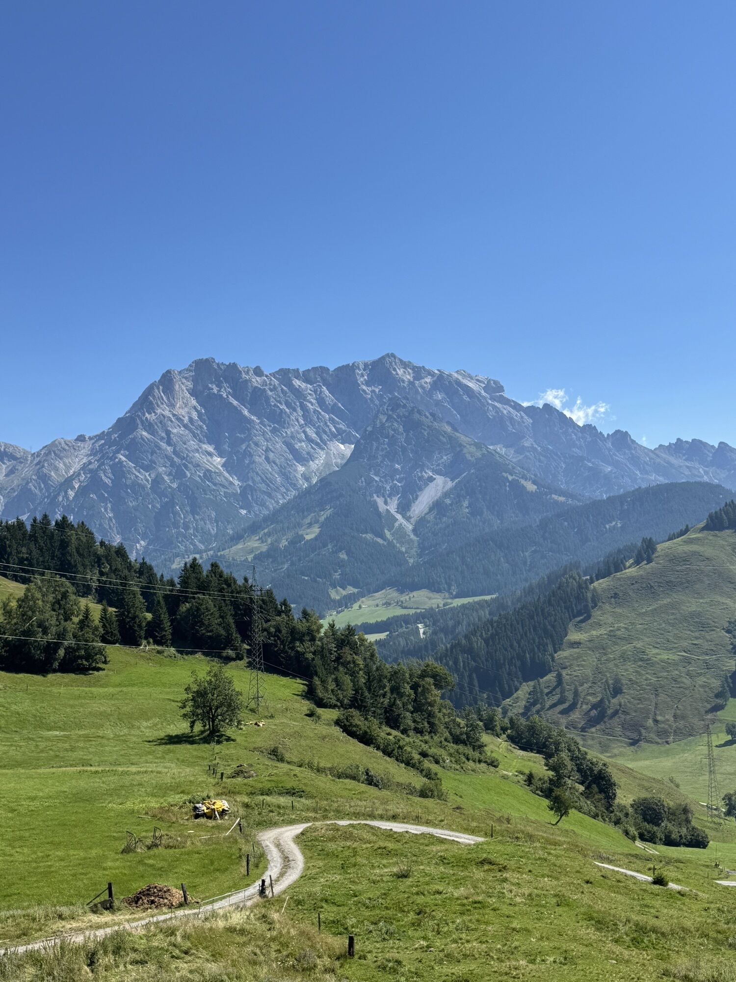
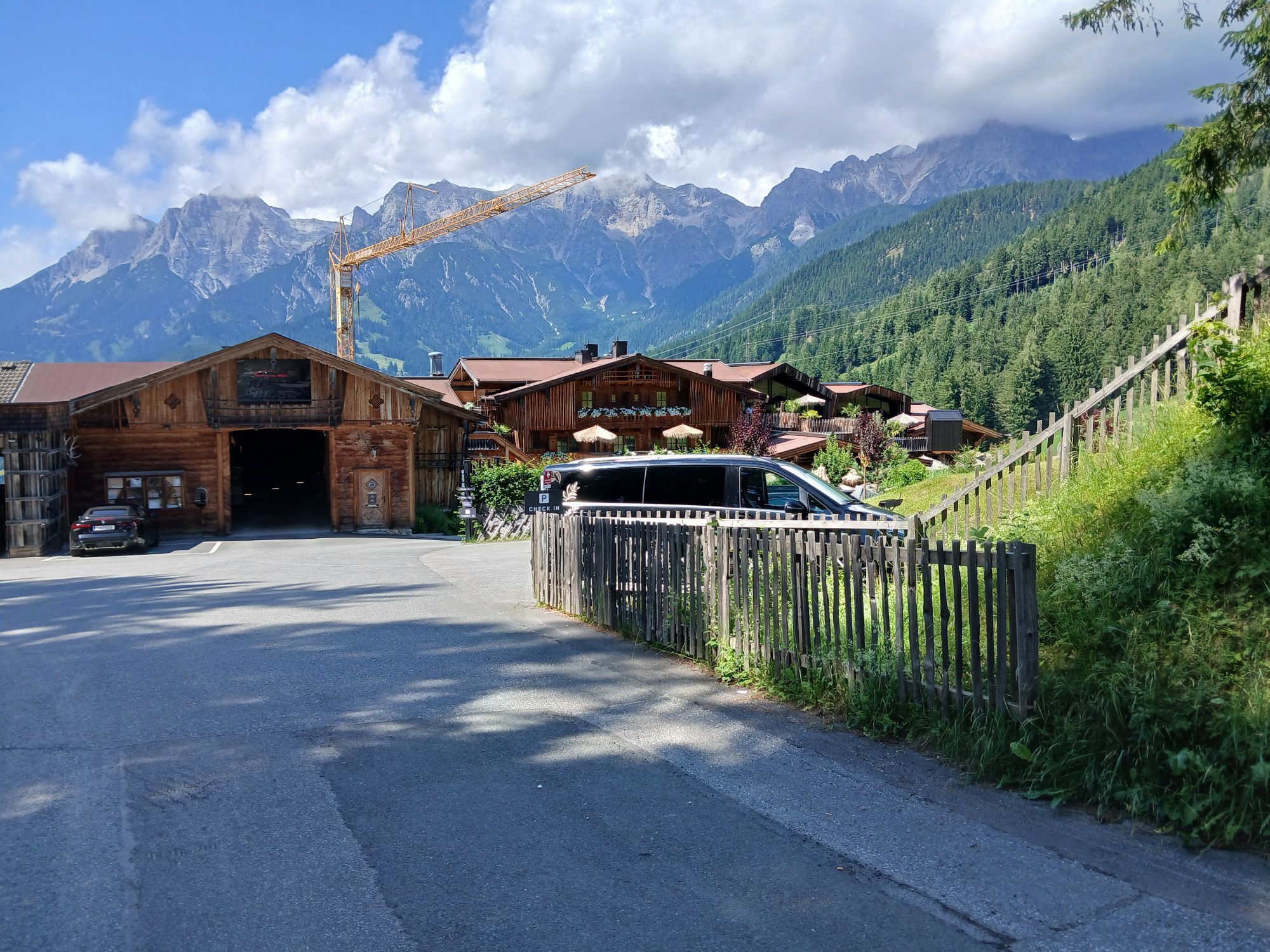
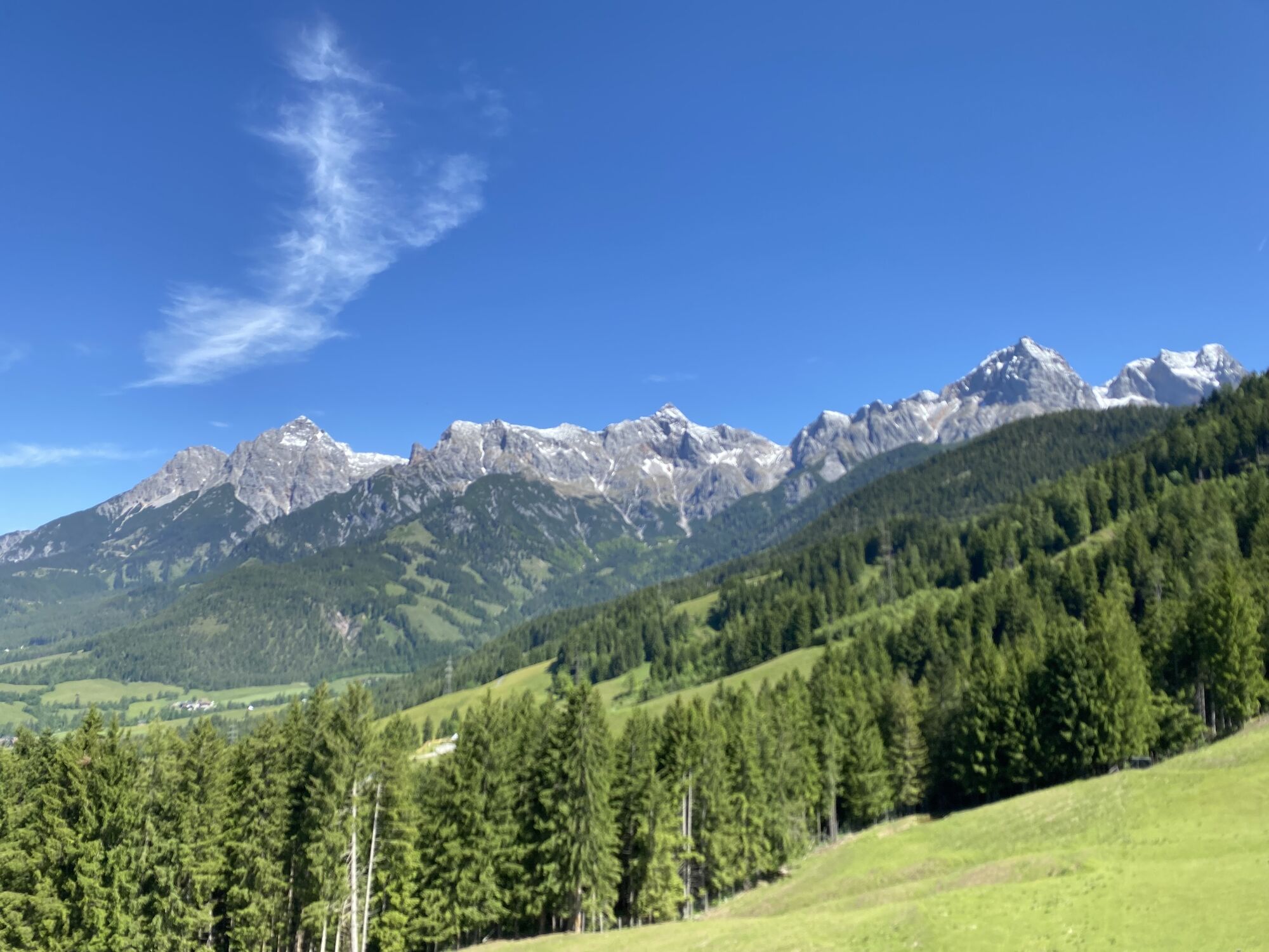
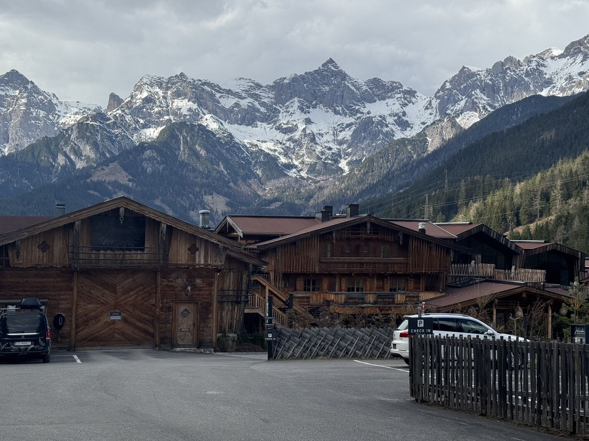
The winter hiking trail from Jufenalm to Hinterthal is a picturesque route in the Salzburg region that leads through snowy forests and an idyllic Alpine landscape. The trail is well prepared and offers...
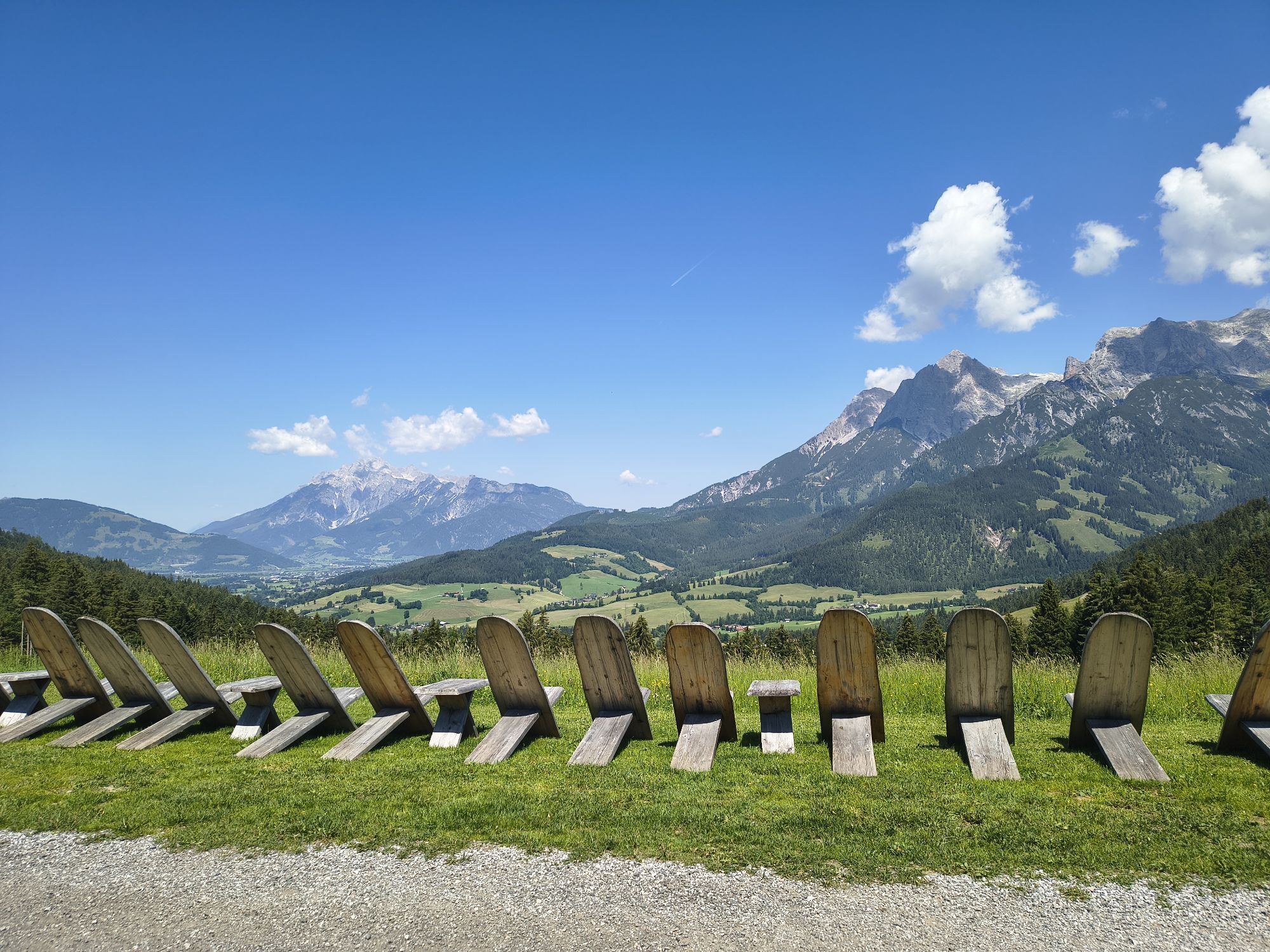
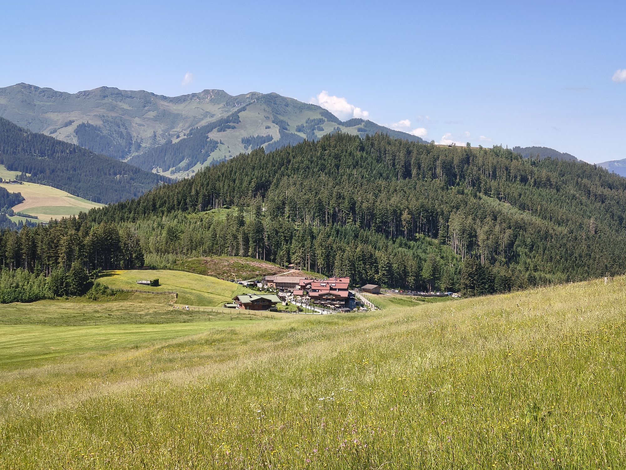
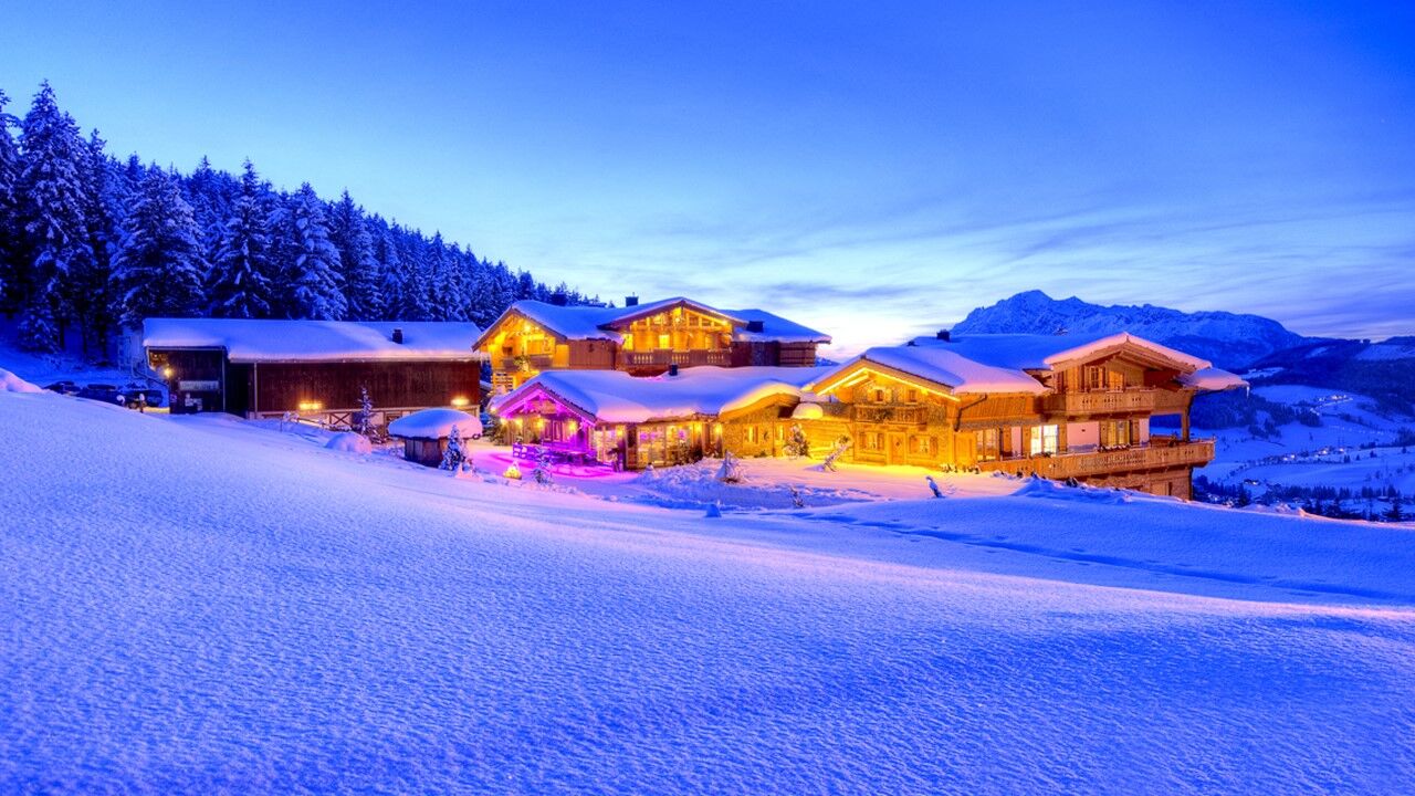
The winter hiking trail from Jufenalm to Hinterthal is a picturesque route in the Salzburg region that leads through snowy forests and an idyllic Alpine landscape. The trail is well prepared and offers a pleasant hike with gentle climbs and magnificent views of the surrounding mountains. Particularly appealing is the tranquility of nature and the opportunity to discover animal and snow tracks. The starting point is the cozy Jufenalm, which is perfect for a refreshment with regional specialties before descending to Hinterthal. An experience for the whole family!

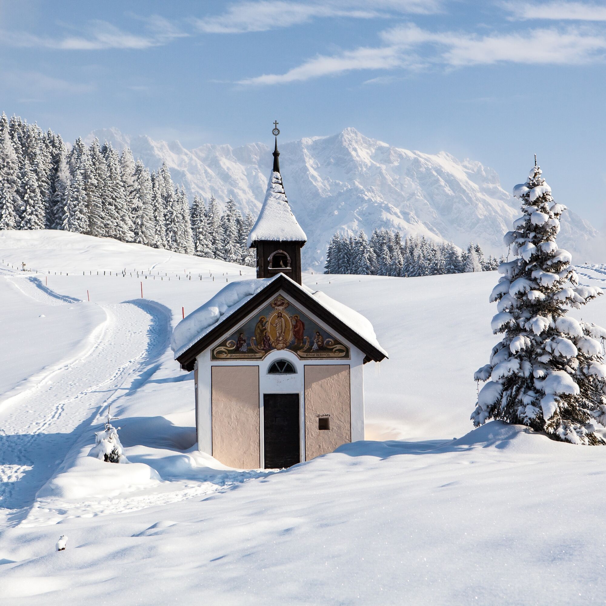
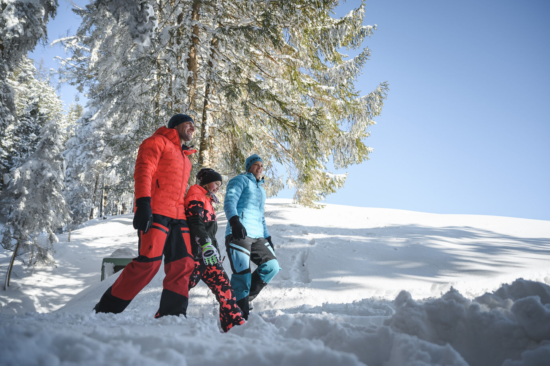
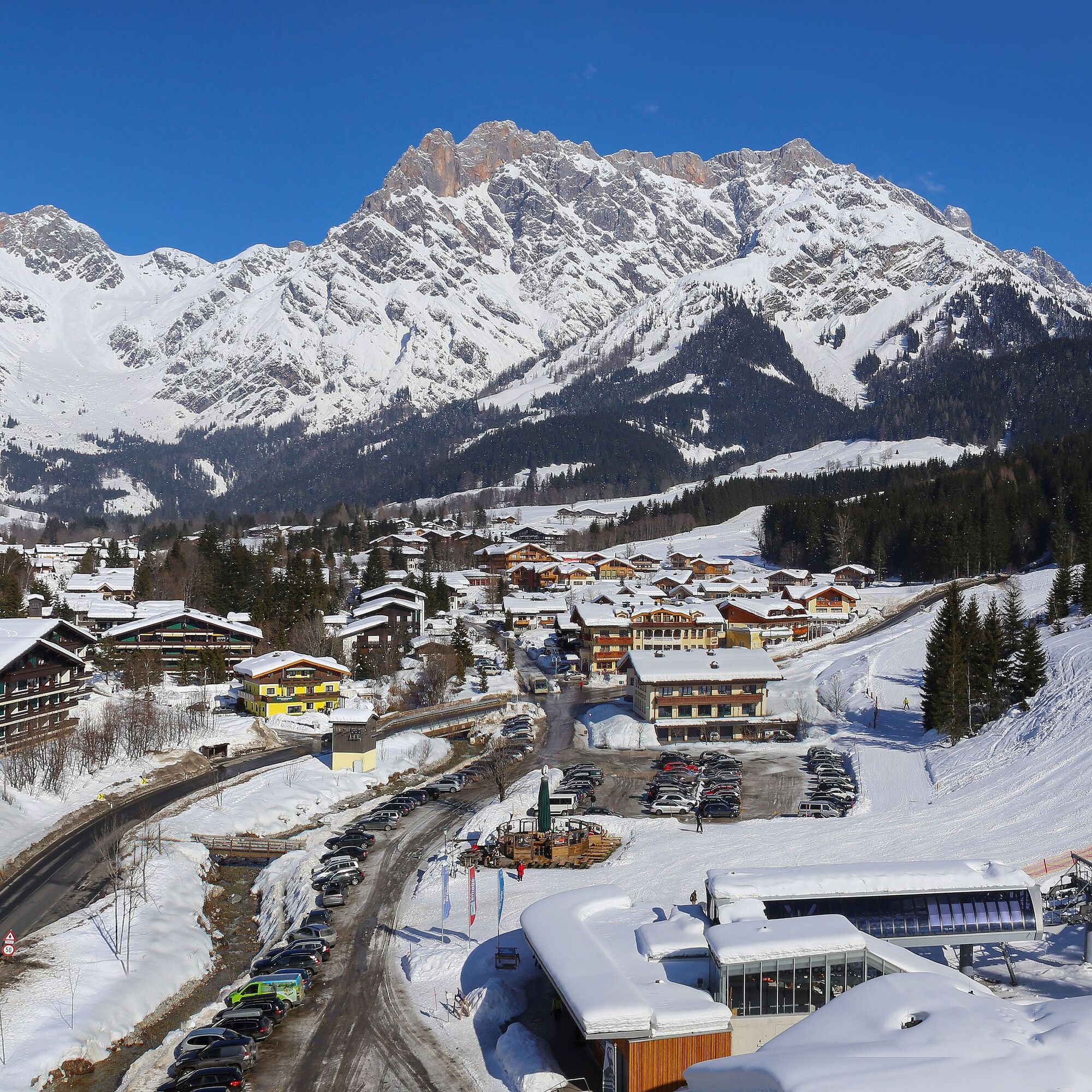

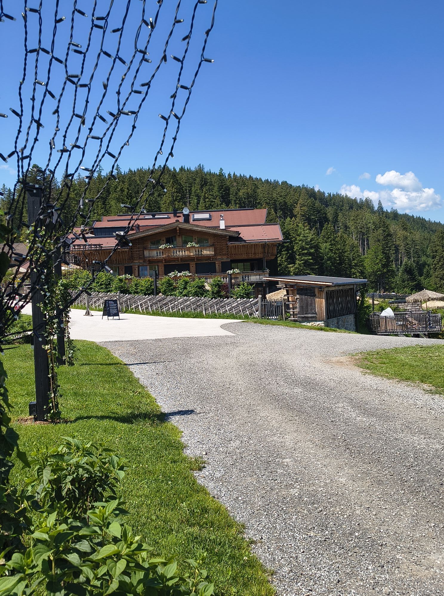
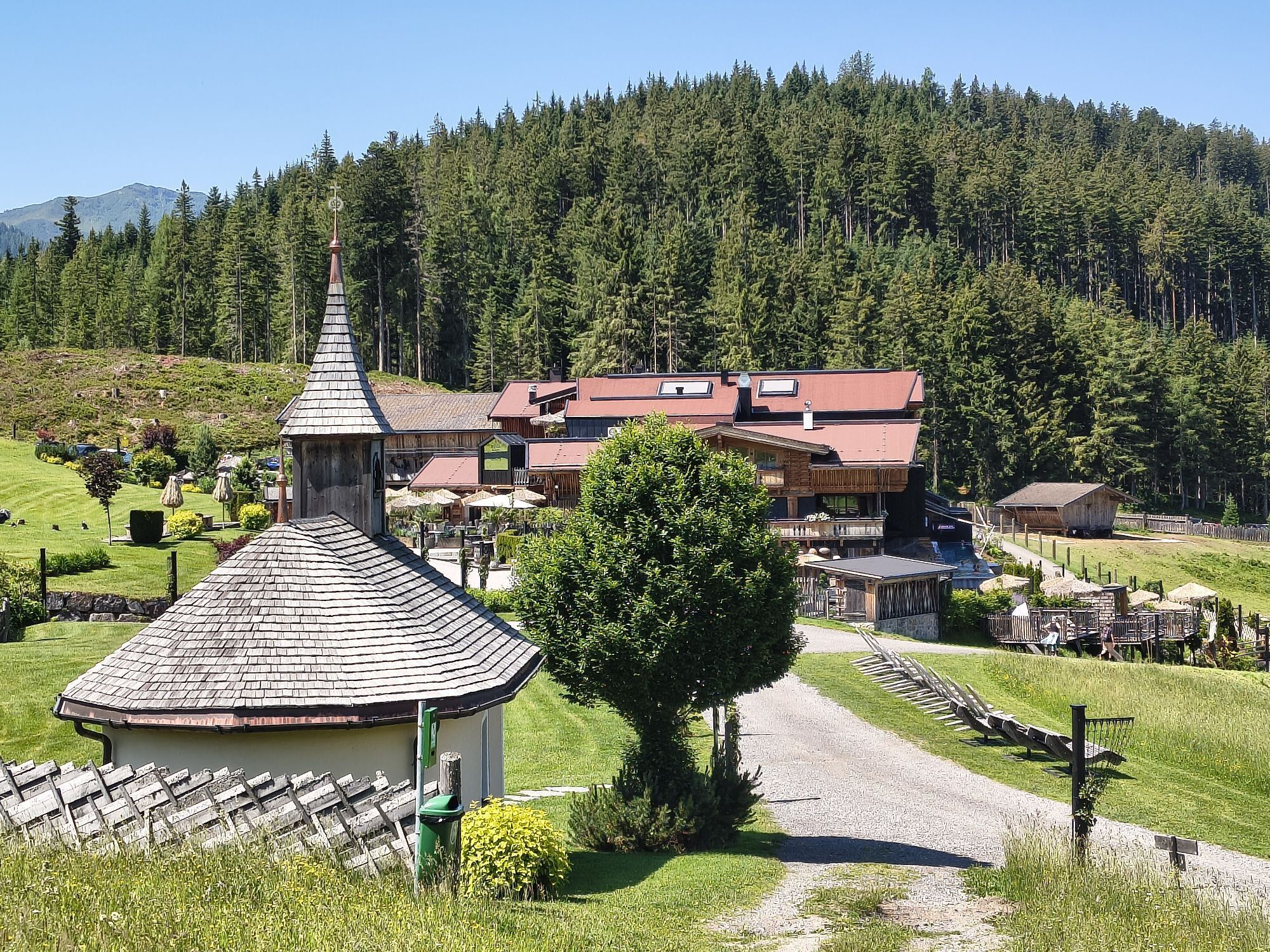
Begin your winter hike at the chapel near the Jufenalm. Trail No. 401A takes you to the sunny side. Walk on the well-prepared winter hiking trail that runs along the forest edge. Enjoy the sunny surroundings and the fresh, clear air. The path winds through a picturesque winter landscape. After about 30-45 minutes you reach the town limits of Hinterthal. Follow the signs that lead you directly into the village.
Clothing: warm, layered clothing, hat, gloves, slip-resistant boots
Equipment: day backpack, hiking poles, headlamp, possibly crampons or snowshoes
Safety & Navigation: mobile phone, map/GPS, first aid kit, whistle
Provision: water, snacks, thermos bottle
Optional: sunglasses, sunscreen, seat pad
Check the weather: Obtain current weather and avalanche reports before the tour.
Proper clothing: layered, waterproof, warm, with hat, gloves and slip-resistant boots.
Equipment: hiking poles, headlamp, map/GPS, mobile phone, first aid kit. Possibly snowshoes or crampons in case of ice or snow.
Watch your fitness: adjust pace according to your own fitness.
Use daylight: winter days are short – plan enough time.
Avoid slipping hazard: walk carefully, use poles and slip-resistant soles.
Provision: take water, warm drinks and snacks.
Emergency plan: inform others about your route, have emergency numbers ready.
Respect nature: do not leave paths, avoid avalanche and wildlife protection areas.
Arrival coming from Salzburg: On the A10 motorway to the Bischofshofen exit, then on the B311 towards Bischofshofen.
Follow the Hochkönig federal road/B164 to Maria Alm.
Arrival coming from Innsbruck/Kufstein: On the Loferer Straße/B178 towards St. Johann i.T., then via the Hochkönig federal road/B164 via Saalfelden to Maria Alm.
A valid vignette is required for the use of the Austrian motorway and expressway network.
There is also a mandatory carriage of first aid kit, warning triangle and high-visibility vest. More information at Asfinag.
ÖBB-Scotty: timetable information
Bus line 620: timetable information
ski bus: timetable information
Ascent with the Natrunbahn to TOM Alpine hut and comfortable hike over the Grammleralm (not operated in winter) to the Jufenalm.
Duration: 50 minutes
Parking (free):
At Kirchplatz 3
5761 Maria Alm
Alternatively:
Parking (free):
Enterwinkl - Maria Alm
Ascent to Jufenalm: 1.5 hours
More information about winter hikes and activities in the Hochkönig region:
For detailed information about hiking maps, opening hours of mountain lifts as well as huts and alpine pastures in winter, we recommend visiting the on-site service center. There you will not only receive the hiking map but also valuable tips on the best winter hiking routes and current conditions.
Opening hours of the mountain lifts in winter: The mountain lifts offer various opening hours during the winter months, which can vary according to weather and season. Please check the current operating times in advance.
Opening hours of huts & alpine pastures in winter: The huts and alpine pastures in the region are ideal rest stops for hikers. Here too, opening hours can differ depending on the season and weekday. Let the friendly hosts advise you on the local offers and specialties.
For further information please visit our website: www.hochkoenig.at.
If you have questions or want to receive specific information, you are welcome to contact us:
Email: region@hochkoenig.at
Phone: +43 (0)6584 20388
We look forward to assisting you and wish you lots of fun exploring the beautiful winter region Hochkönig!
Ideal winter hike for the whole family!
Webové kamery z prehliadky

Obľúbené výlety v okolí
-
4,4
Maria Alm - Riemannhaus
Turistika 3,99 km -
4,8
Königssee - Kärlinger-Haus
Turistika 10,1 km -
4,9
Summit stormer route Lauskopf
ťažkéTuristika 8,16 km -
4,8
Highlight Kitzlochklamm Classic round
strednáTuristika 2,02 km -
4,8
Summit storming route Taghaube
ťažkéTuristika 6,25 km -
4,7
About the "Four Huts circular route" to Windraucheggalm
strednáTuristika 10,1 km -
3,7
Wanderung zur Ostpreußenhütte in Werfen (1.630 m)
strednáTuristika 11,2 km -
4,6
Panorama hike to the Hochkeil
strednáTuristika 6,07 km -
4,4
Schwalbenwand Nr. 80, 81, 82
strednáTuristika 13,0 km -
4,6
Peter-Wiechenthaler Hut
strednáTuristika 4,32 km
Turistika a stopovanie


Nenechajte si ujsť ponuky a inšpiráciu na ďalšiu dovolenku
Vaša e-mailová adresa bol pridaný do poštového zoznamu.





