


Uskok heart trail Brežice
The route is named after the Uskok refugees from Bosnia, who also took refuge in this area before the Turks.
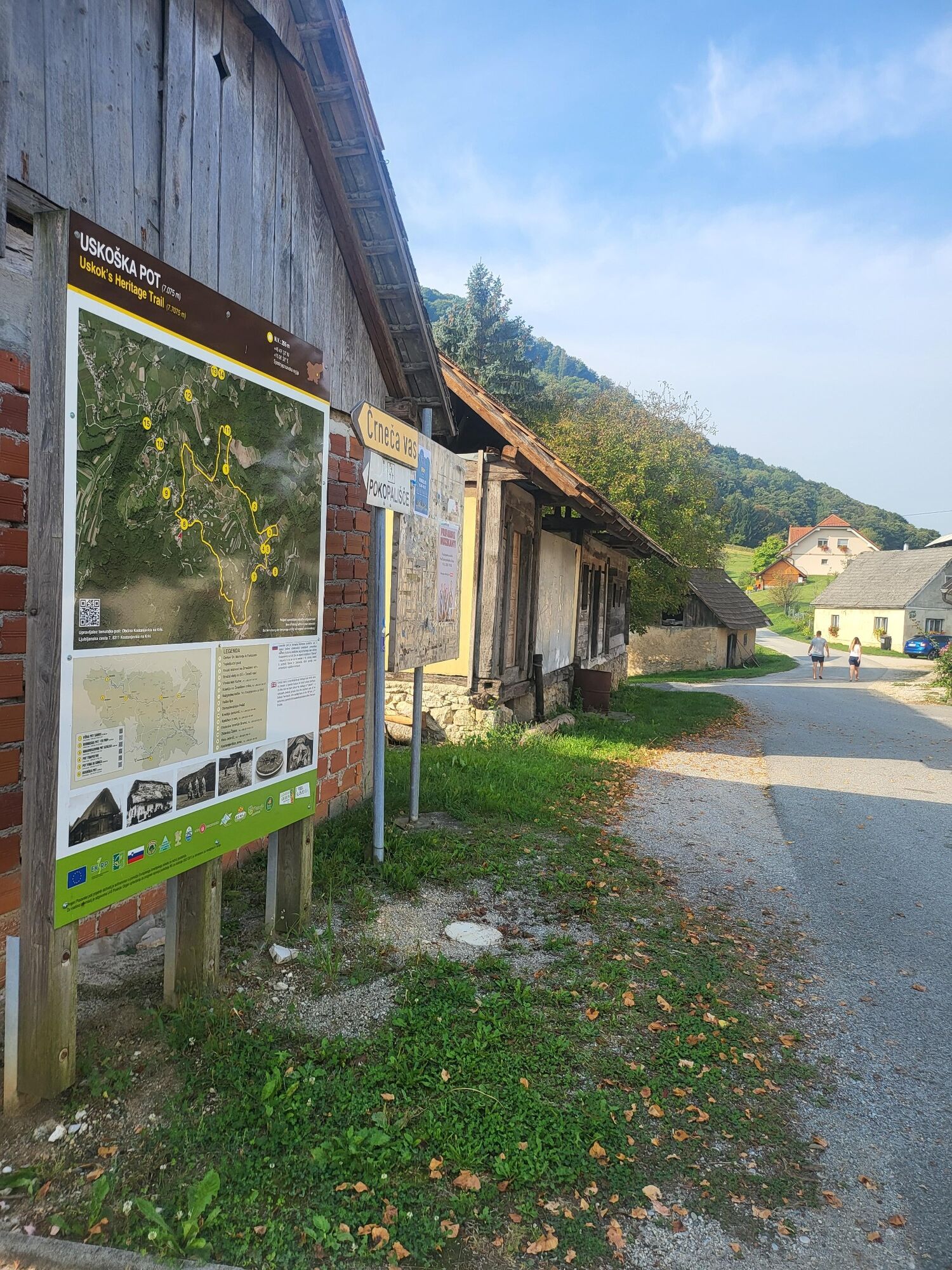
The route starts from the starting point at the church of St. Mohorja and Fortunata in Črneča...
The route is named after the Uskok refugees from Bosnia, who also took refuge in this area before the Turks.
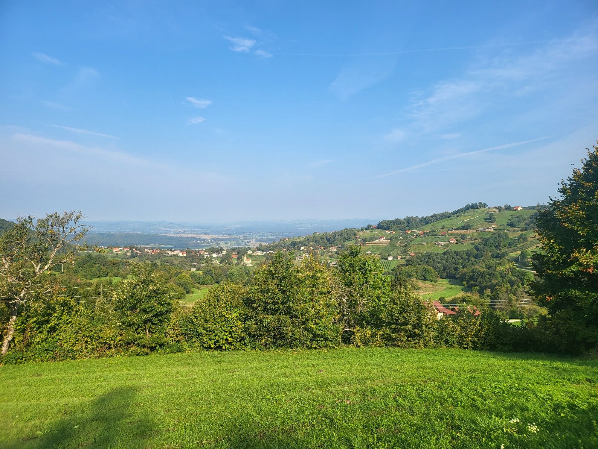
The route starts from the starting point at the church of St. Mohorja and Fortunata in ÄrneÄa vas between the vineyards up to the Watchtower, past the former branch elementary school, climbs to podÄrešnjevac and descends through the wooded-meadow area to the village of Oštirc and past the village of Lipet and the monument to those who fell in World War II. This is followed by a climb between vineyards and masonry to the starting point at the church of St. Mohorja and Fortunata, which stands on a beautiful vantage point on the ridge above Kostanjevica on the Krka.
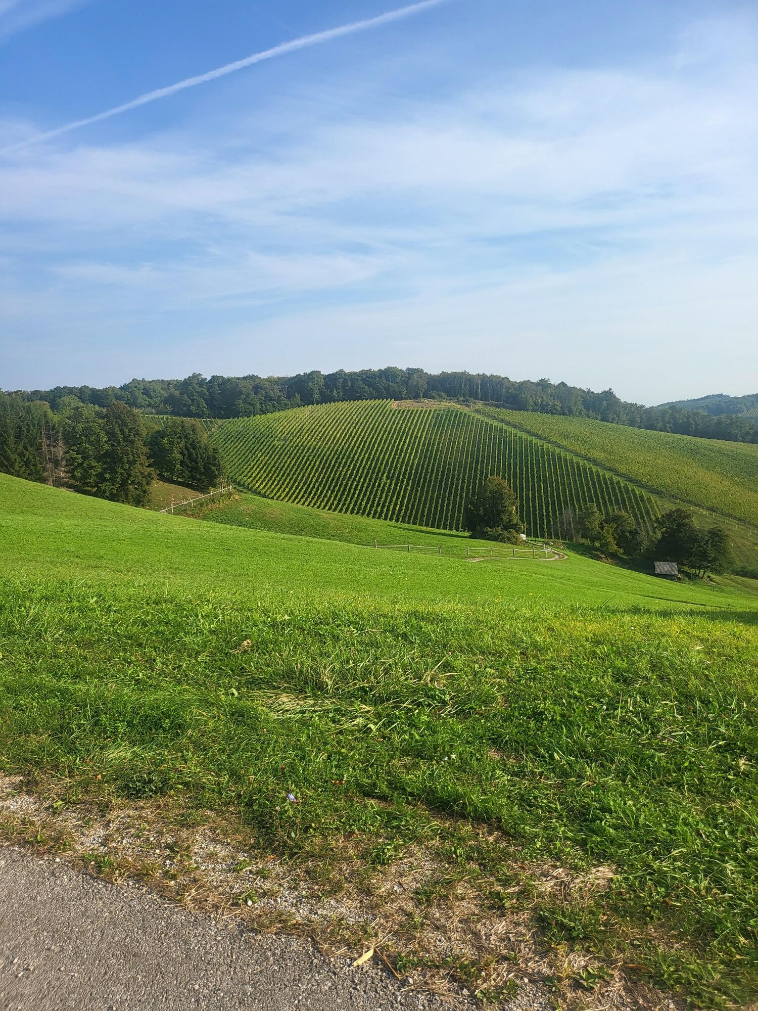
The route is distinctly panoramic with beautiful views of KOstanjevica na Krka and the surrounding villages all the way to Krško and Brežice. The Božidar Jakac Gallery is a must stop on the way back. The length of the route is 5.9 km. The height difference of 144 m is overcome in 1.5 to 2 hours of moderate walking.

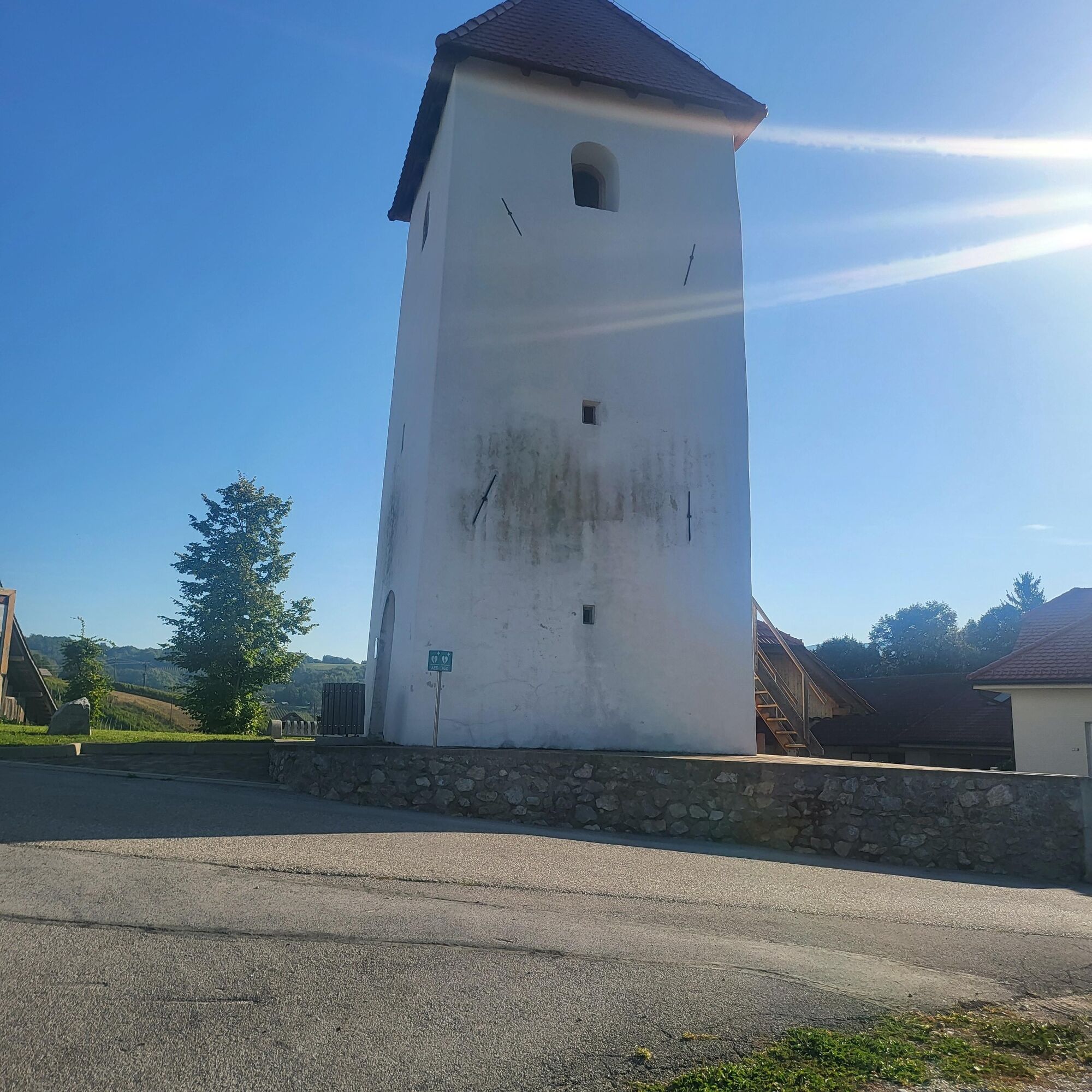
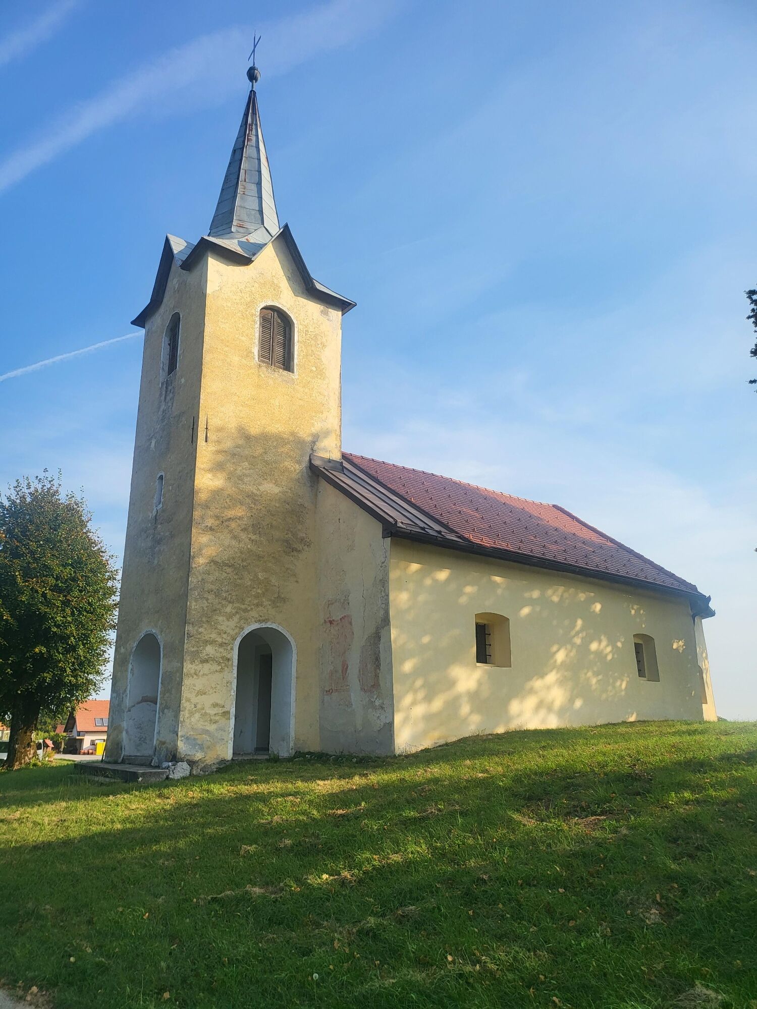
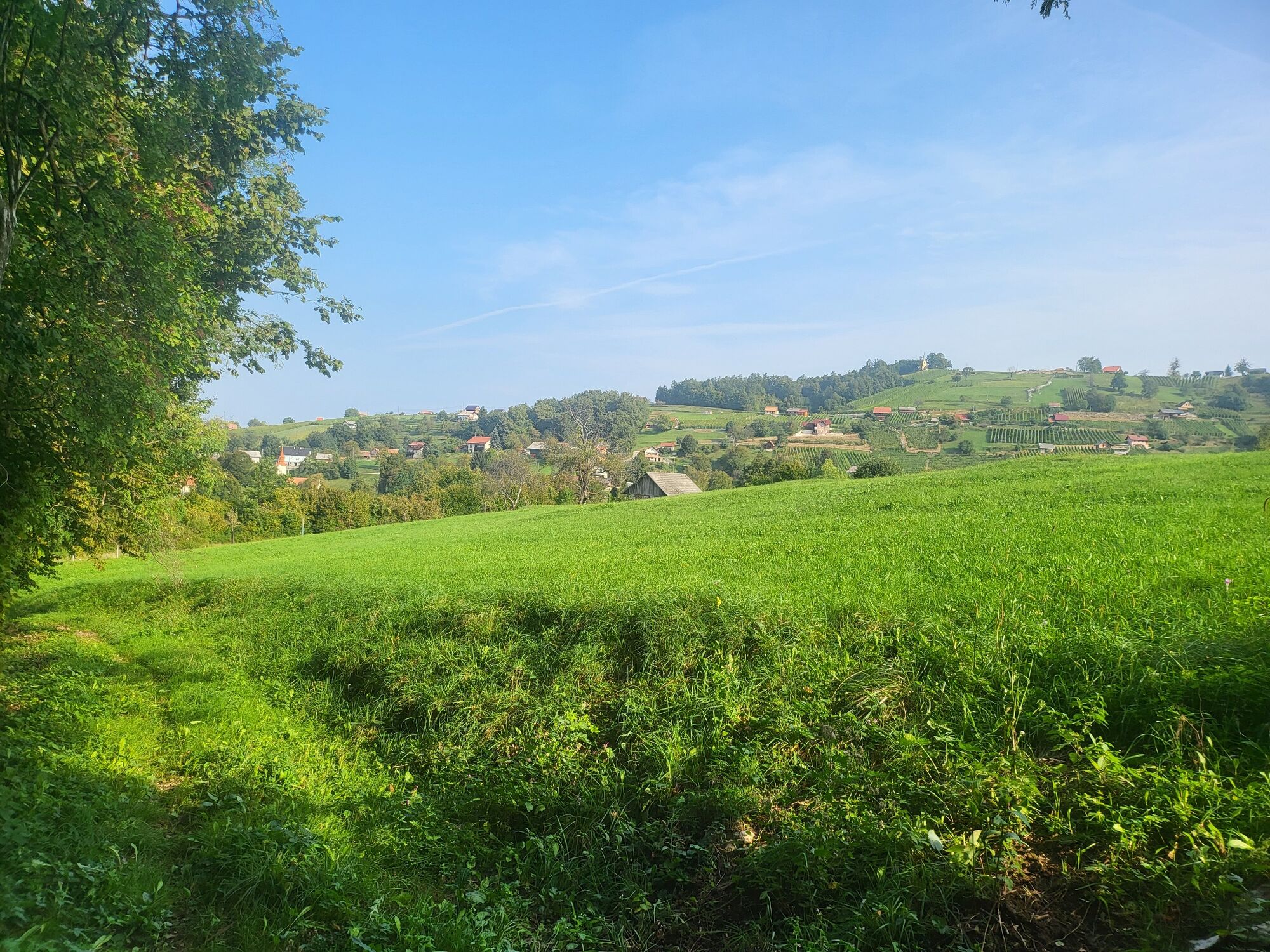
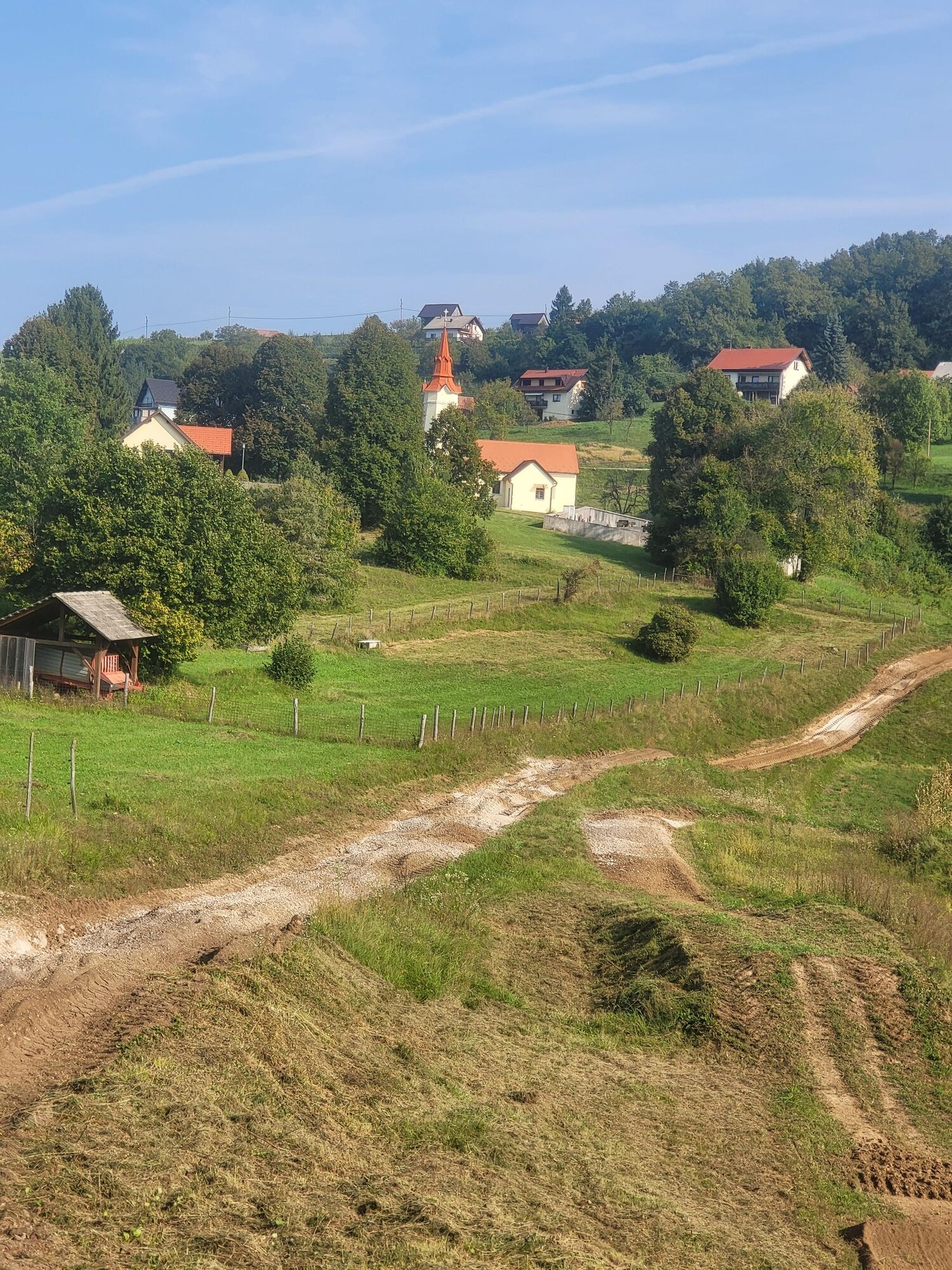
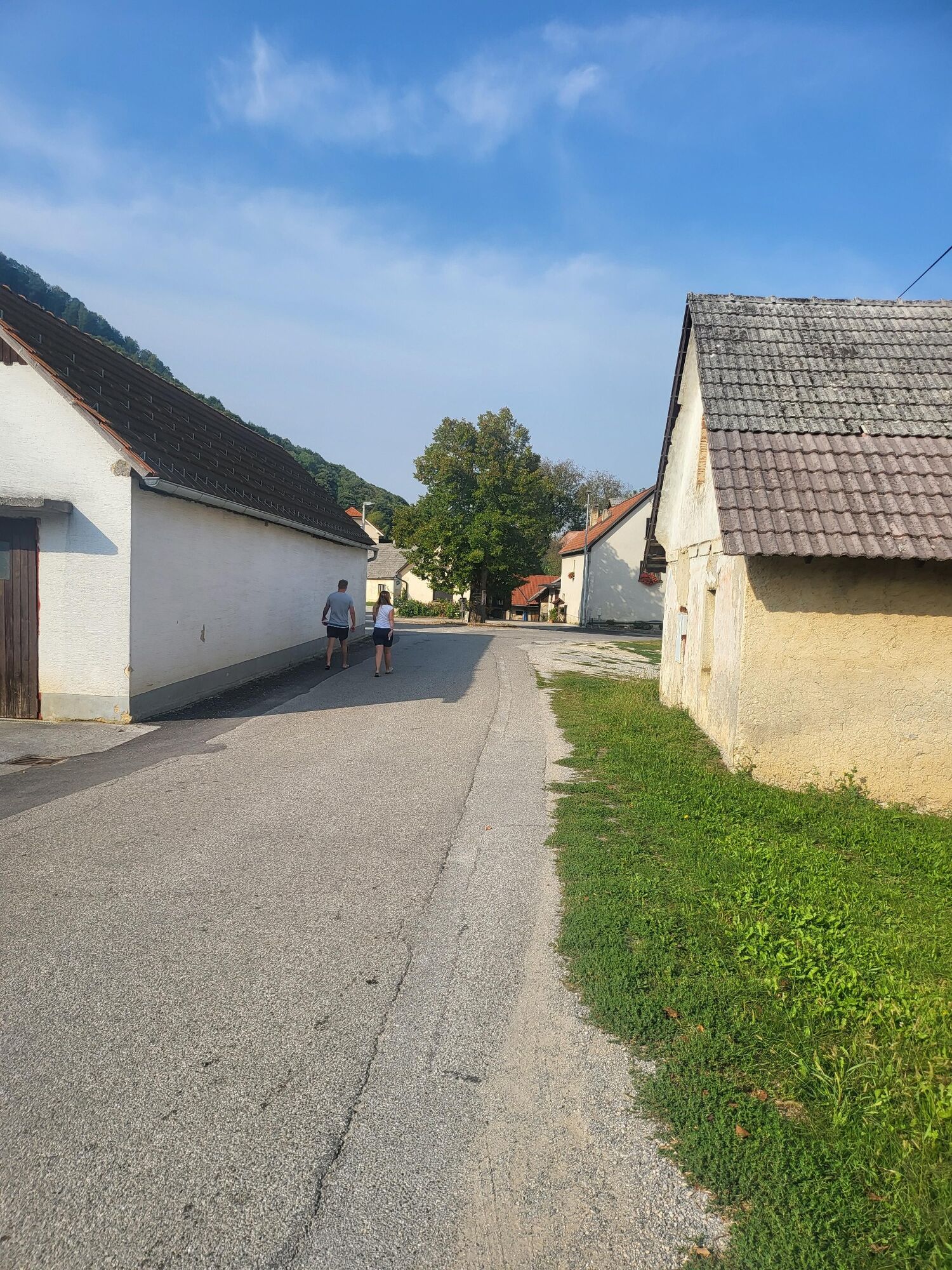
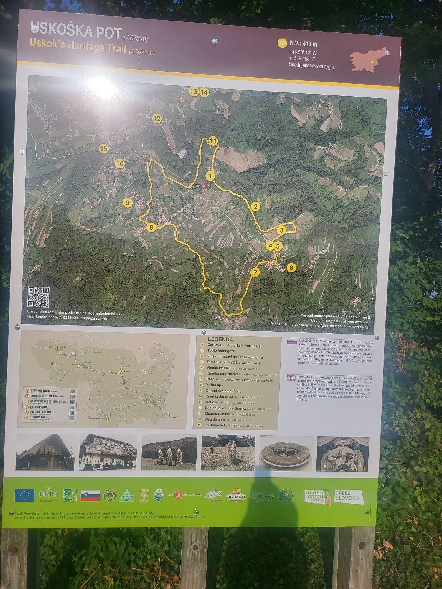
From the church of St. Mohorja and Fortunata along the asphalt road (or a shorter variant along the path over ÄrneÄi vrh to ÄrneÄa vas and past the Watch Tower and the former branch school on the right to a free valley. After 300 m left up the asphalt road towards the village of Ärešnjevec. Before the village on the right along the carriageway of the troops of the meadows and through the forest. Along the less visible path across the meadow, we stick to the left edge of the forest. The path leads us to the village of Oštirc and at the cemetery it turns onto the main road of free Kostanjevici. Past the village lime tree and a little further on the monument to the victims of World War II, right along the asphalt road to the hill and between vineyards and brick buildings to the starting point at the church of St. Mohorja and Fortunata.
Áno
Light hiking shoes, anorak and hiking poles are recommended equipment
Part of the route goes through meadows and forest, where you need to be careful, especially in wet weather.
Leave the Ljubljana-Brežice highway at the Krško, Kostanjevica na Krka exit and go through Kostanjevica up the hill to the village of ÄrneÄe and the church of St. Mohor and
Bus Krško - Kostanjevica na Krka, and Novo Mesto - Kostanjevica na Krka. Then it is necessary to organize transportation to the starting point, about 10 km away.
By car from Kostanjevica na Krka to the church of St. Mohora and Fortunata.
By church St. Mohor and Fortunat
We suggest walking along the path in a clockwise direction with the start and finish at the church of St. Mohor and Fortunato.
The route is easy to moderately demanding with a slight incline and is suitable for everyone.
Obľúbené výlety v okolí
-
2,0
Trdinova heart trail Gorjanci
strednáTematická trasa 10,5 km -
Old Castle path Podbočje-short
svetloTematická trasa 3,33 km -
Cycling trail from Šmarješke Toplice to Škocjan
strednáCyklistika 10,4 km -
Cerinski vir-Japetić
svetloZimná turistika 17,0 km -
5,0
Gabrje - Planinska koča pri Gospodični - Logarjev kogel - Sveta Gera / Trdinov vrh
strednáTuristika 13,2 km -
Venice Of Dolenjska
strednáMountainbike 60,8 km -
Vineyard hills and wetlands
strednáCyklistika 53,0 km -
Karlovačka županija - Sveta Gera / Trdinov vrh - Dom pri Miklavžu - Šentjernej
ťažkéTuristika 21,2 km -
Celine - Podulce - Šrange - Krško
strednáCestný bicykel 37,9 km -
Brežice - Sv. Kancijan - Sveti Jakob - Veliki breg
strednáCestný bicykel 68,4 km

Turistika a stopovanie


Nenechajte si ujsť ponuky a inšpiráciu na ďalšiu dovolenku
Vaša e-mailová adresa bol pridaný do poštového zoznamu.