


Snowshoe hike at the Teufelstein
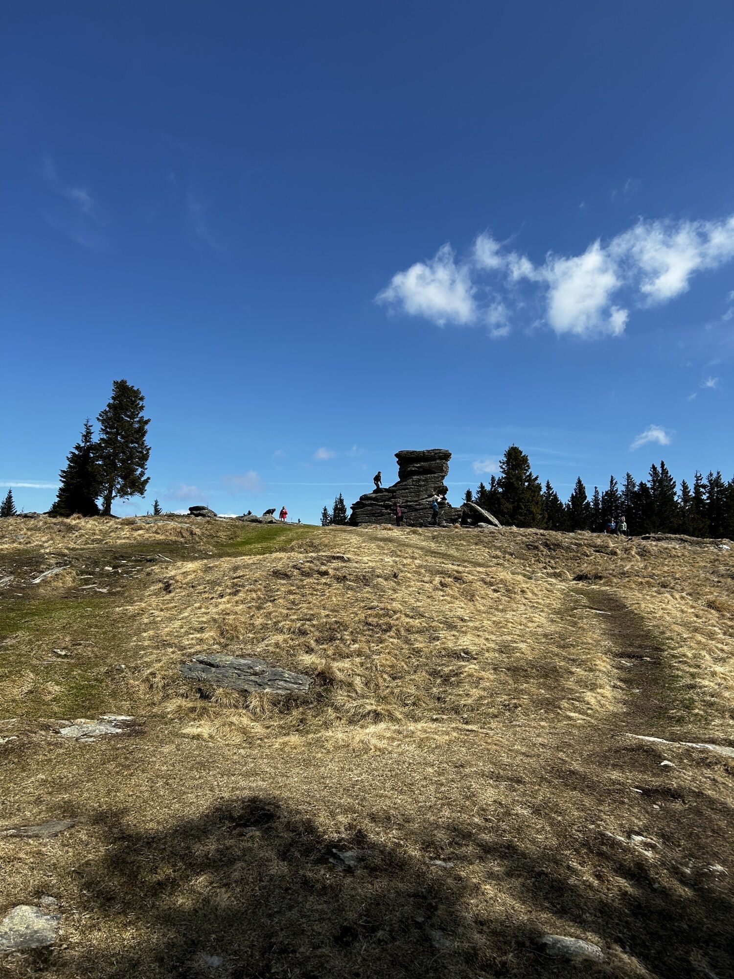
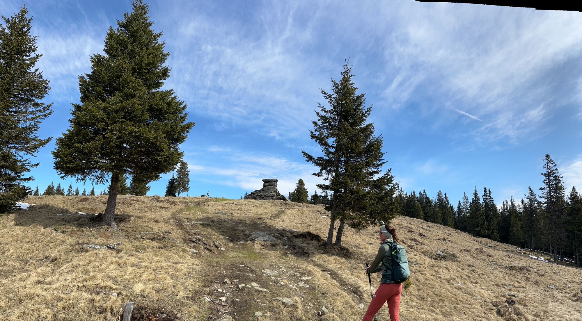
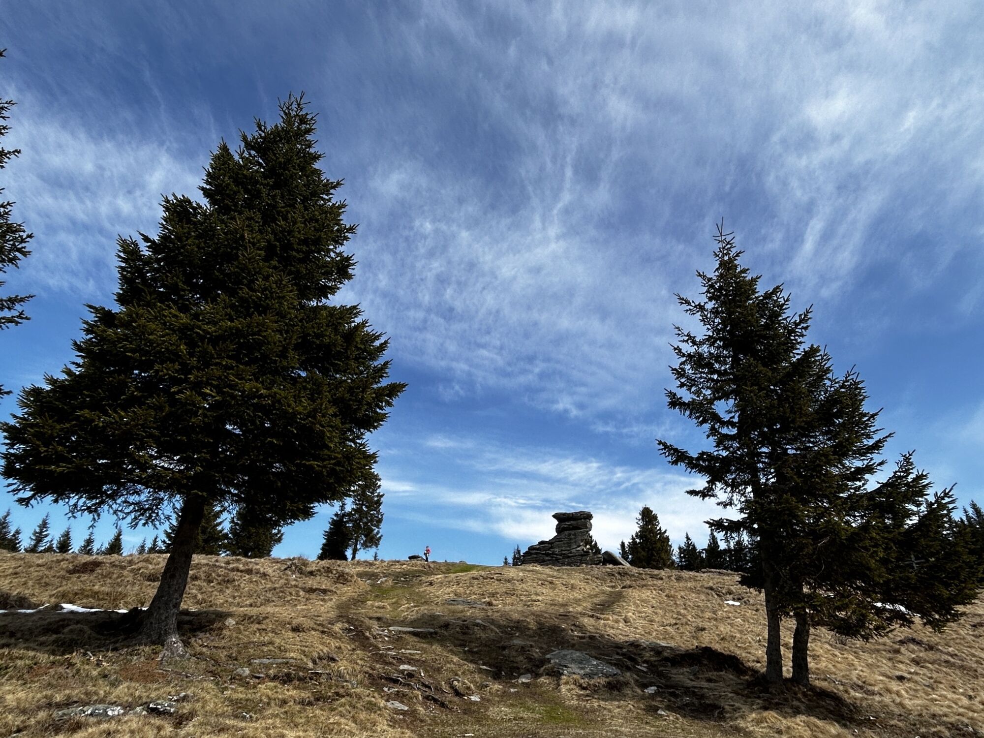
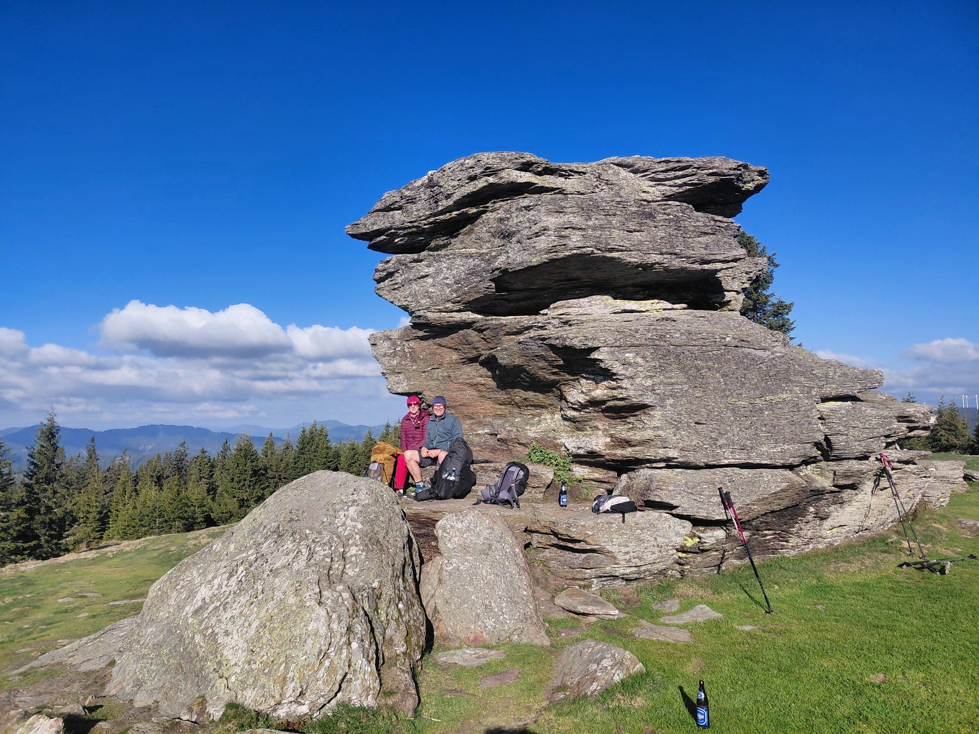
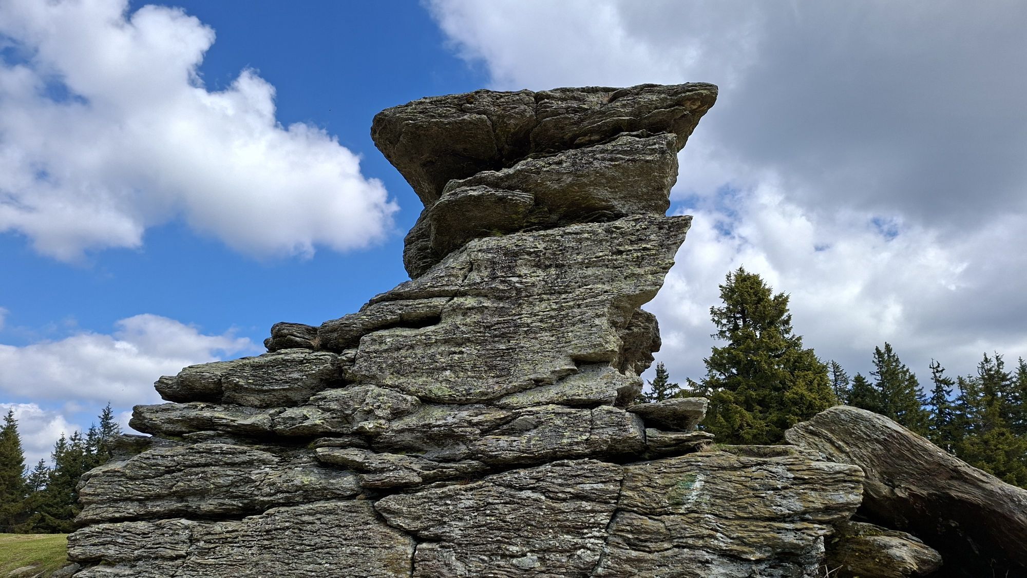
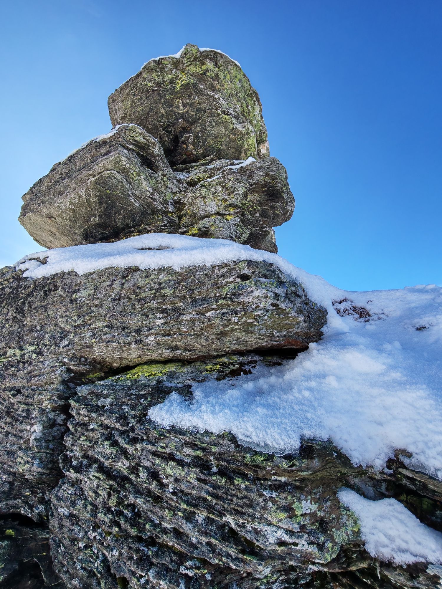
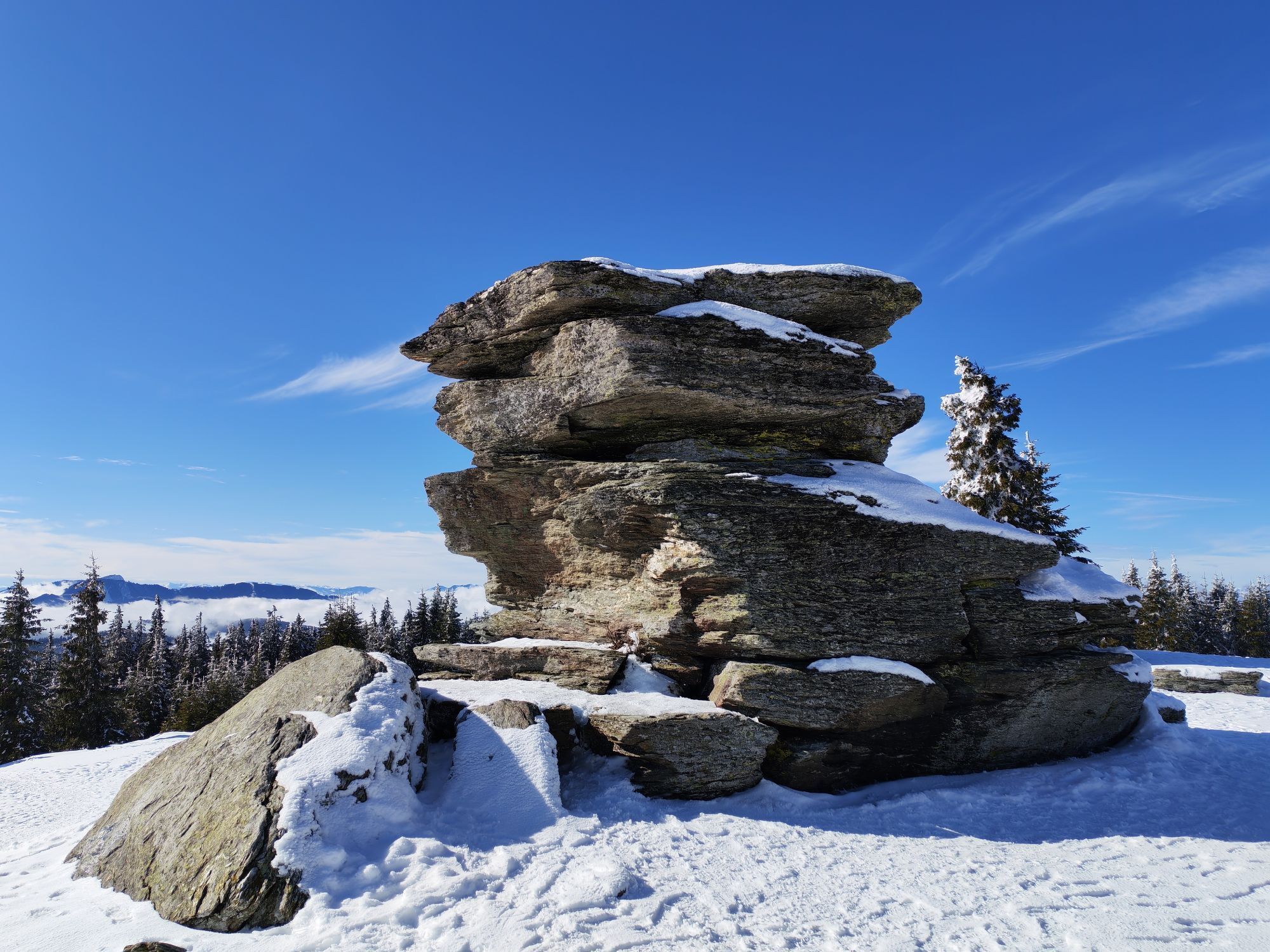
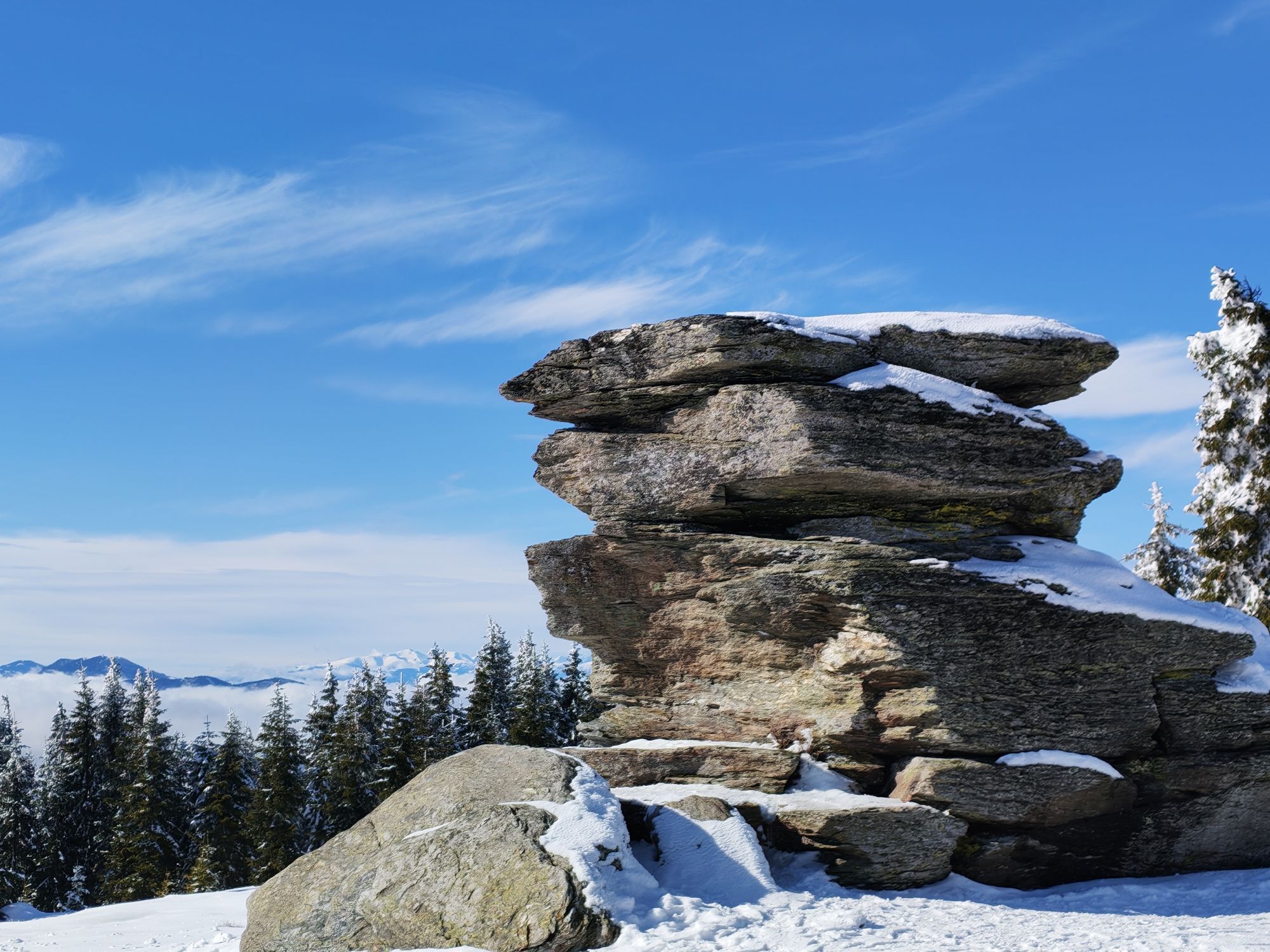
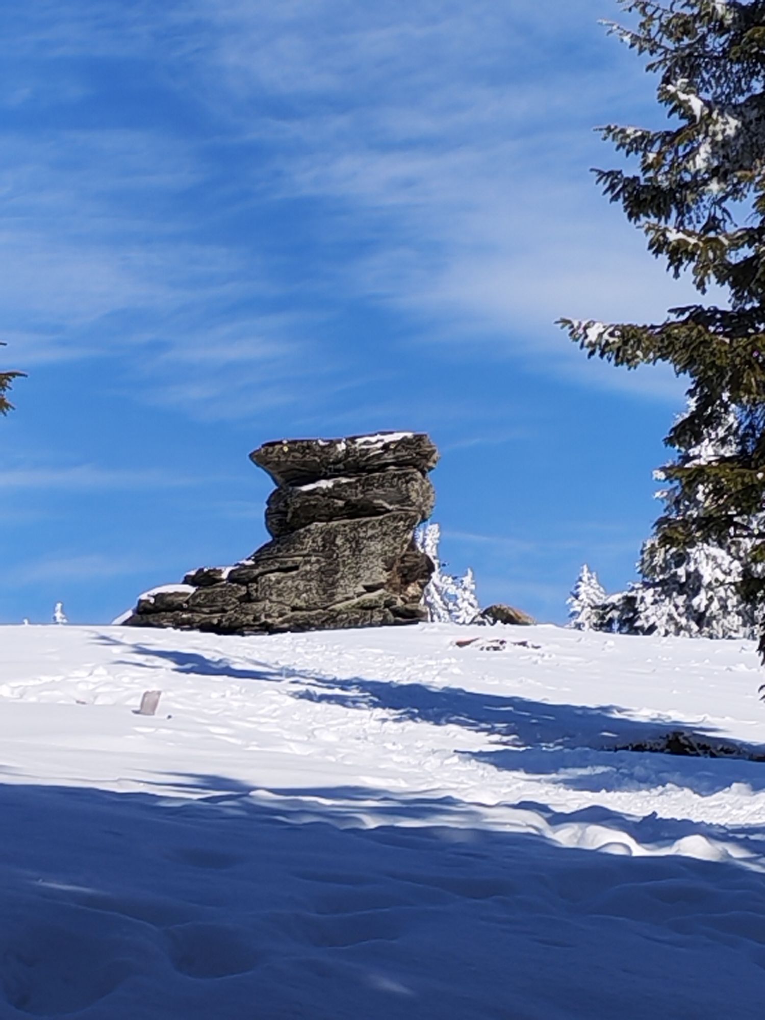
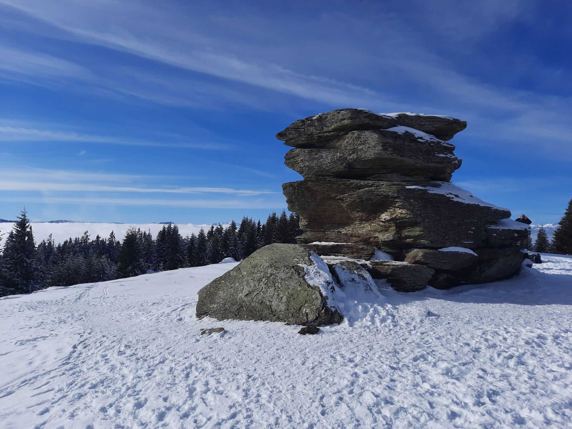

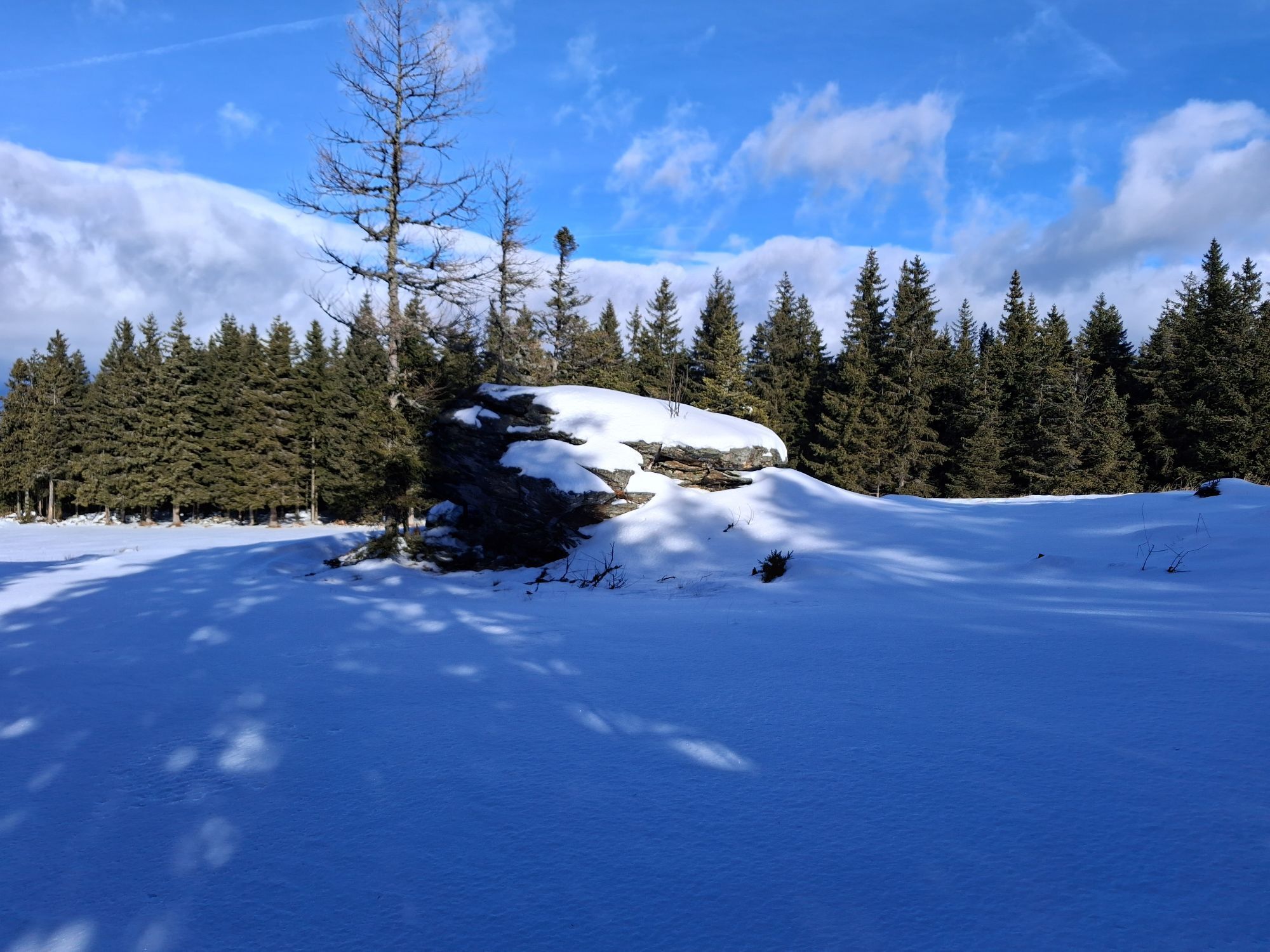
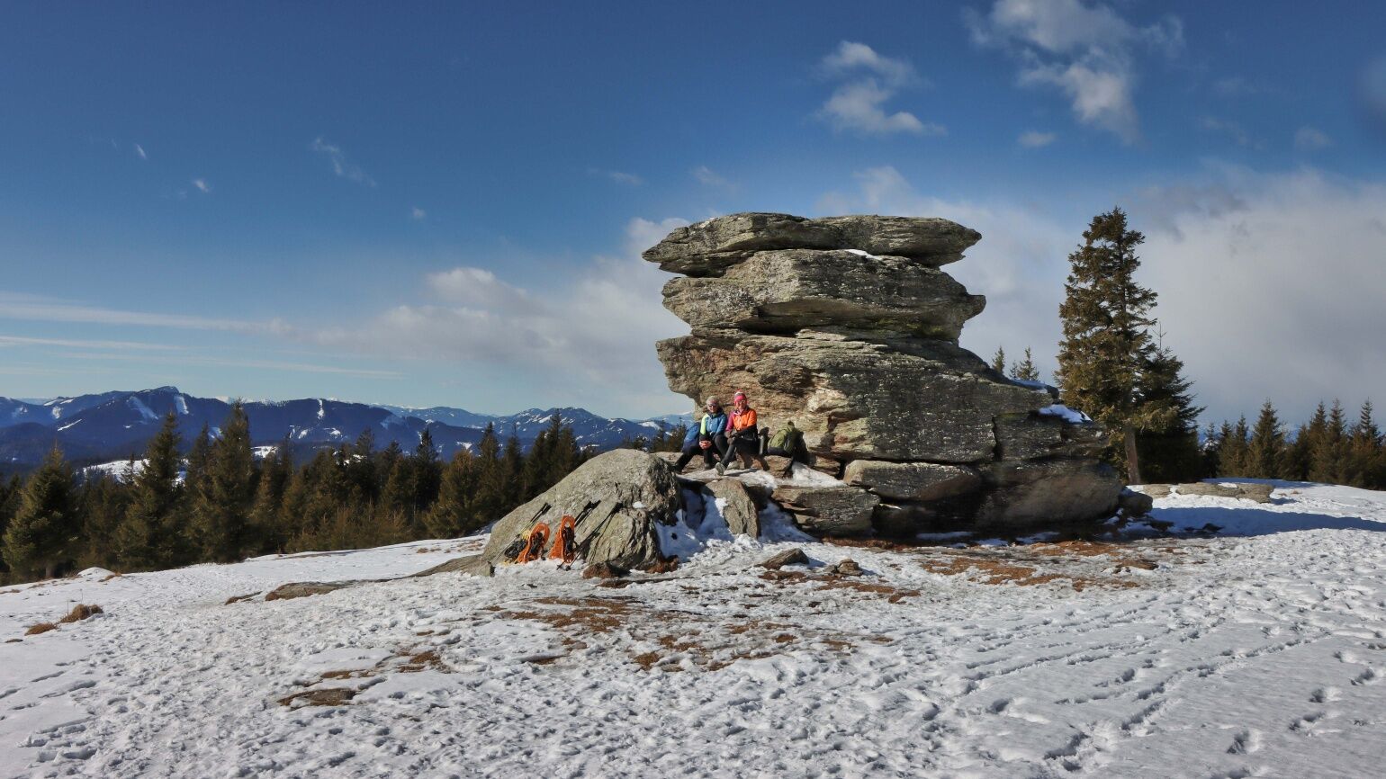
According to legend, Lucifer, after being cast out of heaven into hell, was to be taken back into heaven if he built a tower from earth to heaven on the holy night of Christ. Lucifer carried three big...
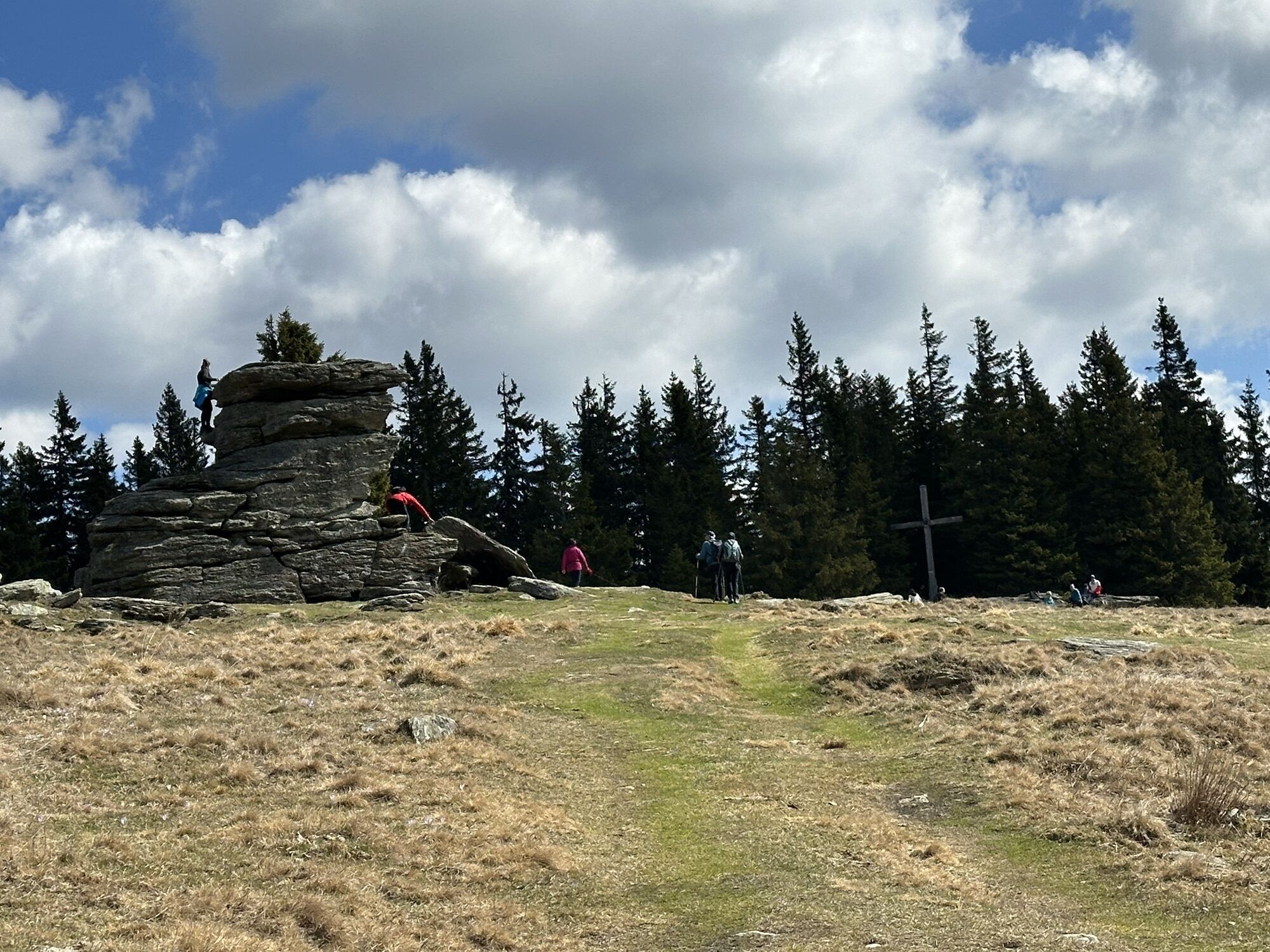
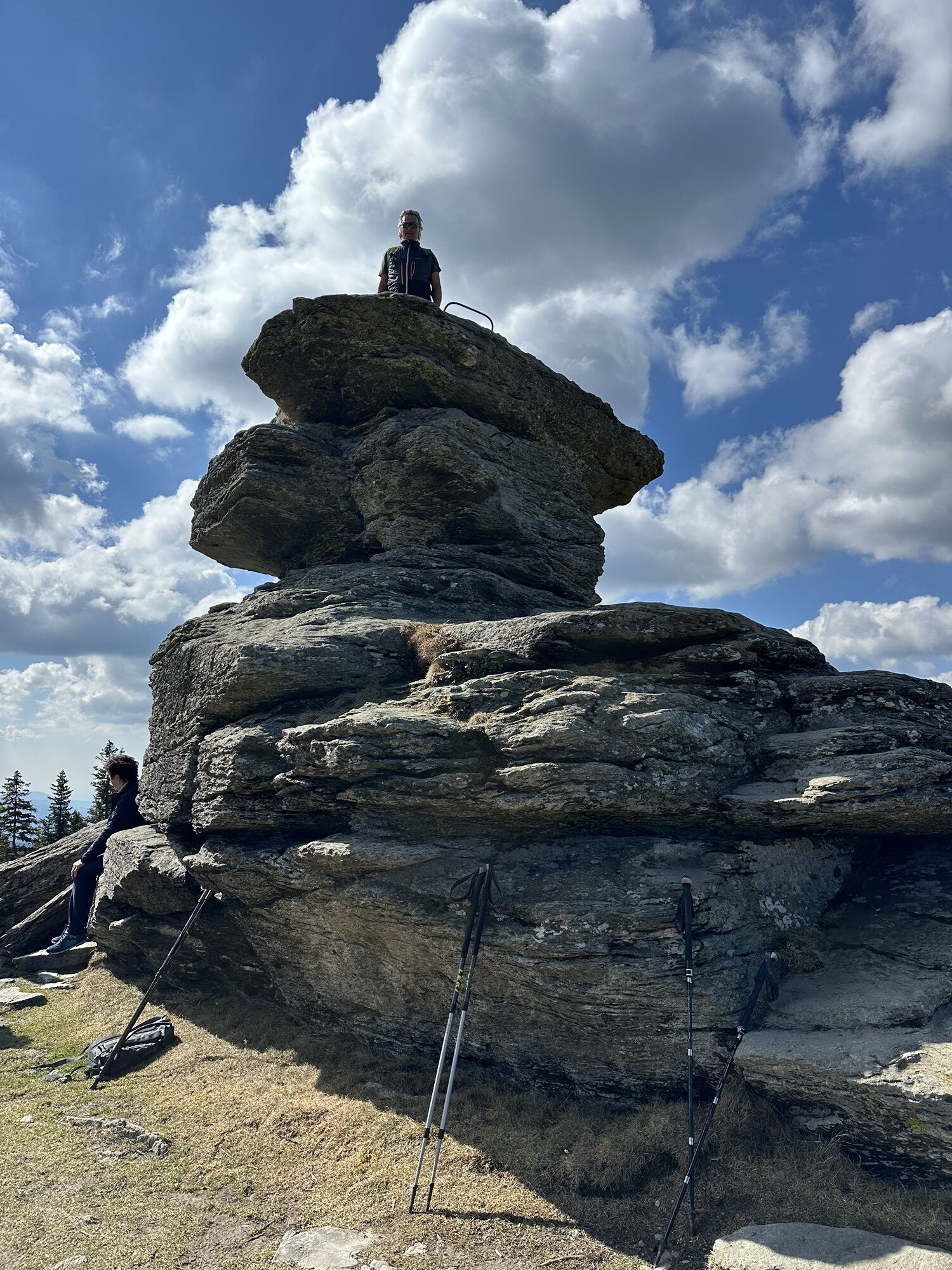
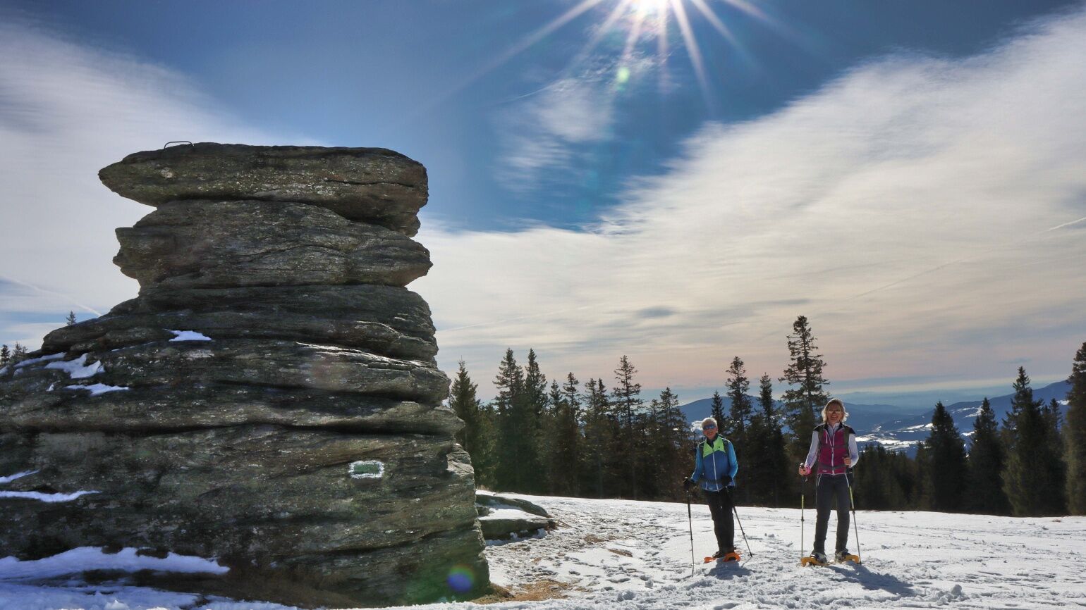
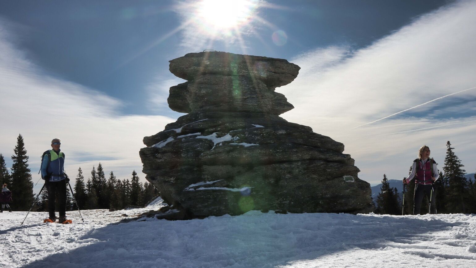
According to legend, Lucifer, after being cast out of heaven into hell, was to be taken back into heaven if he built a tower from earth to heaven on the holy night of Christ. Lucifer carried three big giant stones up to the Fischbacheralpe, but he could not reach heaven in the imposed time limit. Wildly he went back to hell, but he left the three stones on the Fischbacheralpe, and they are called after him "the devil's stone".
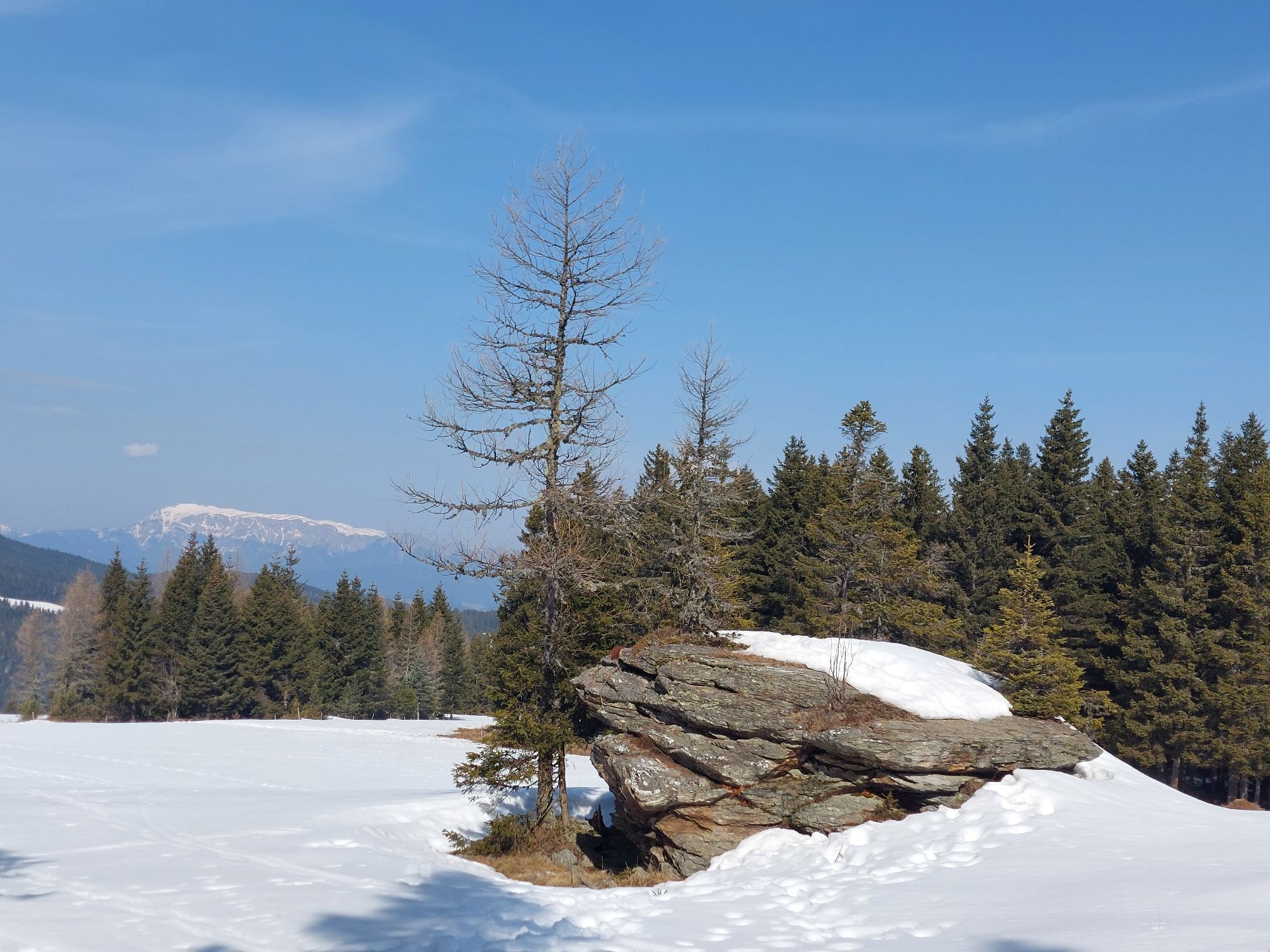
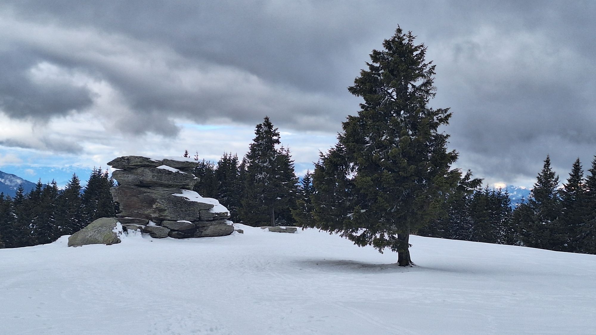
From a geological point of view, the boulders are the result of weathering.
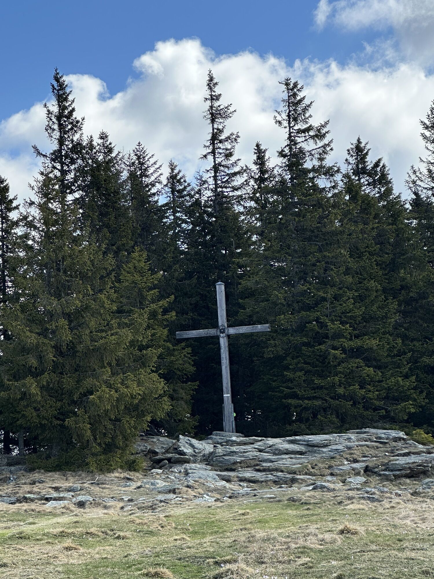
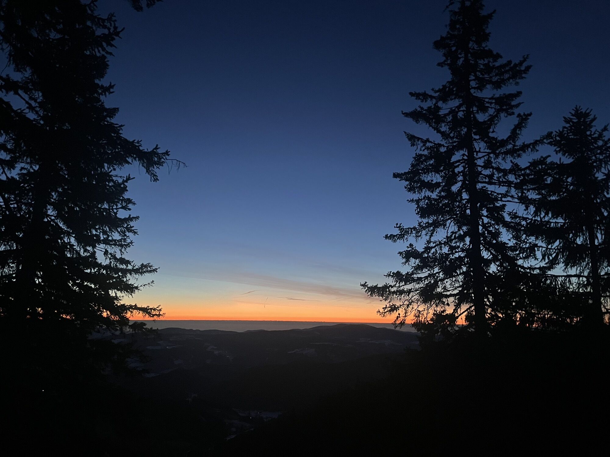
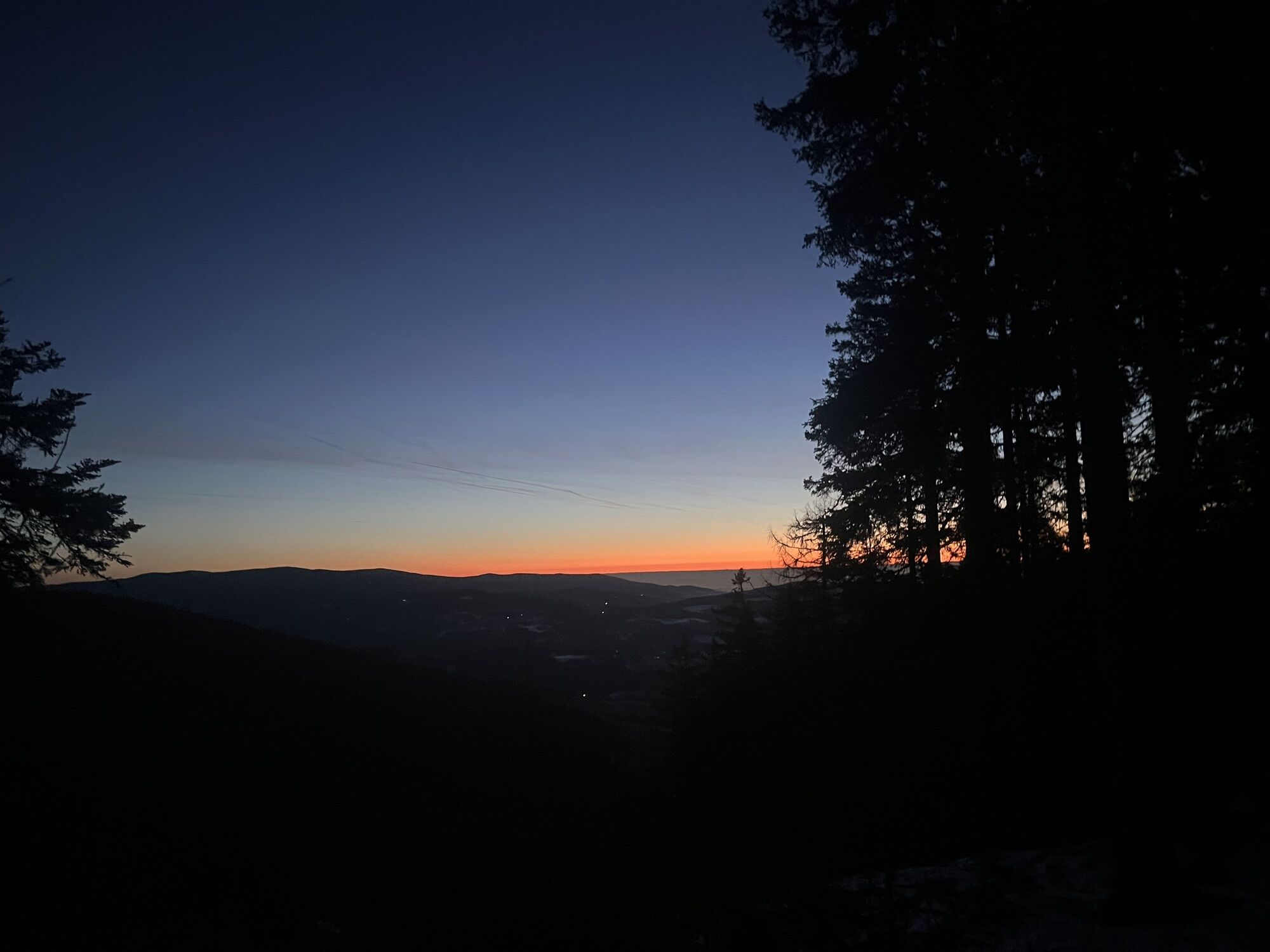
This cult place of Styria attracts, in addition to numerous hikers, every year at the winter solstice enthusiasts who watch the natural spectacle together.
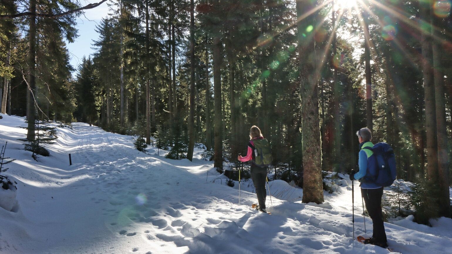
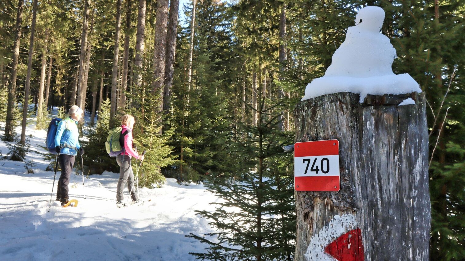
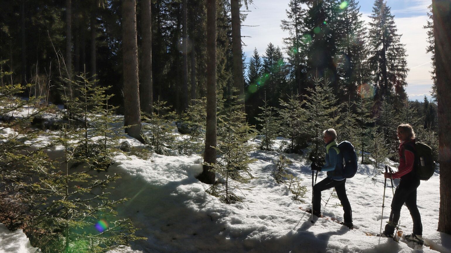
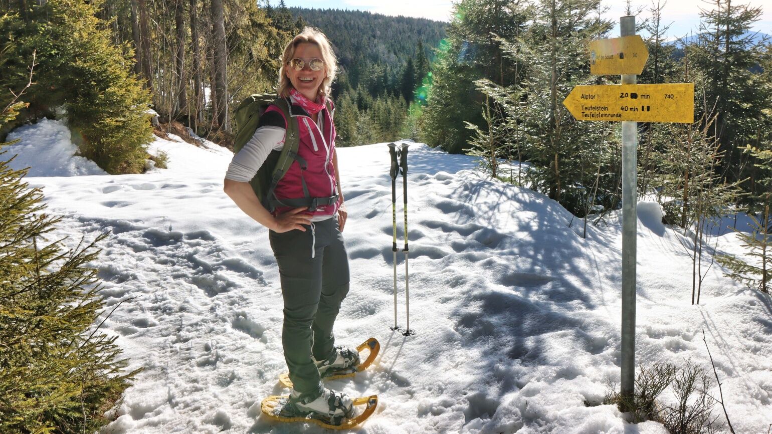
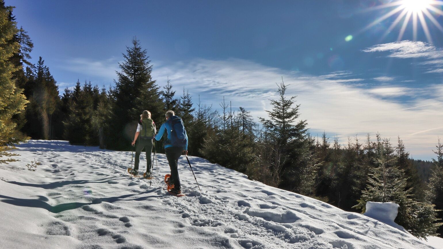
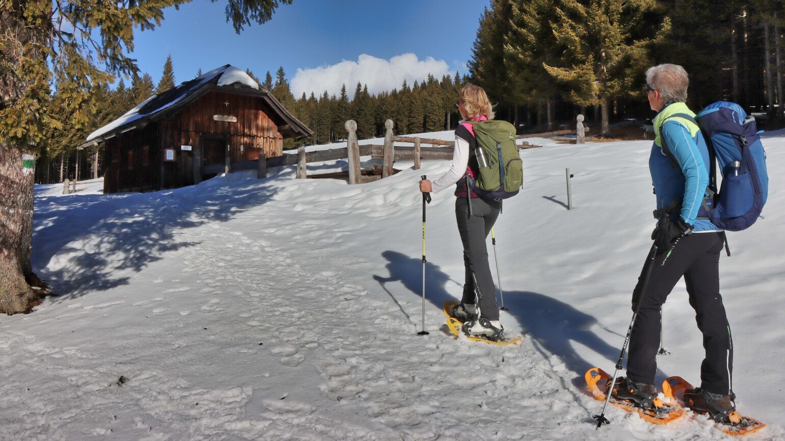
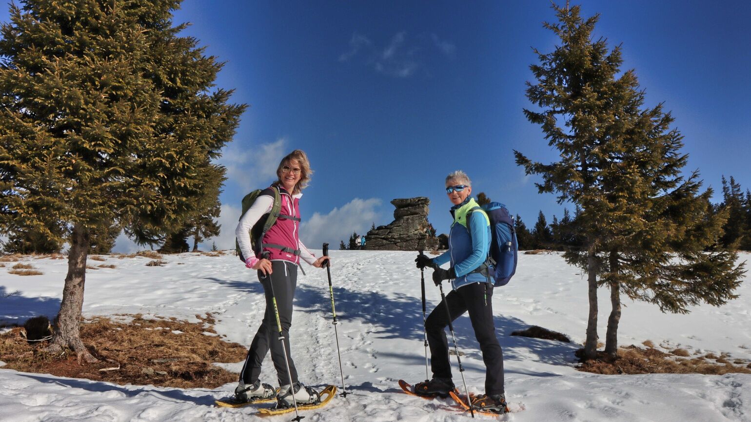
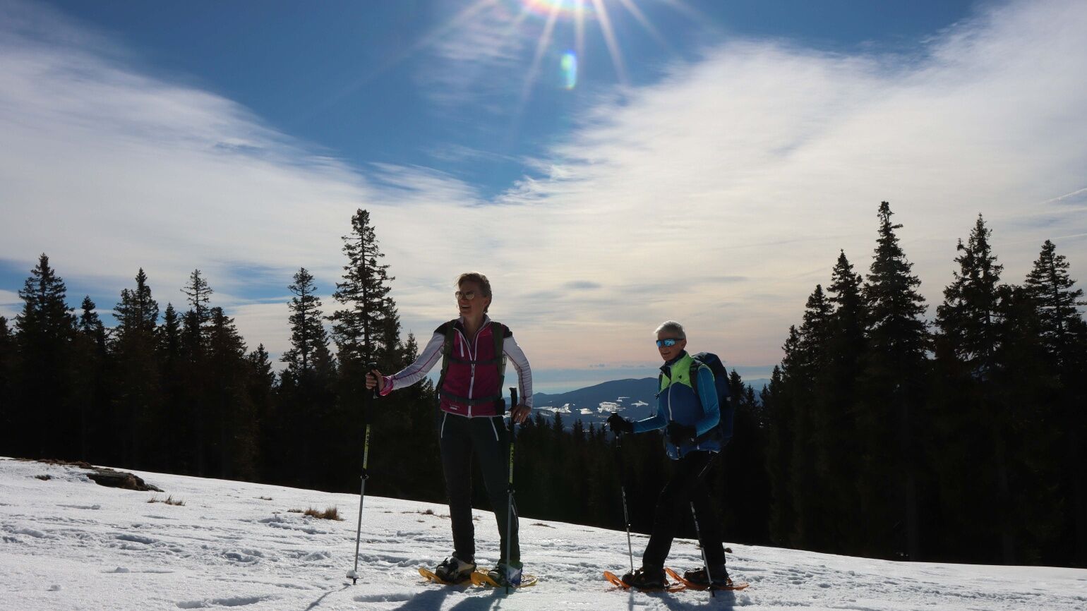
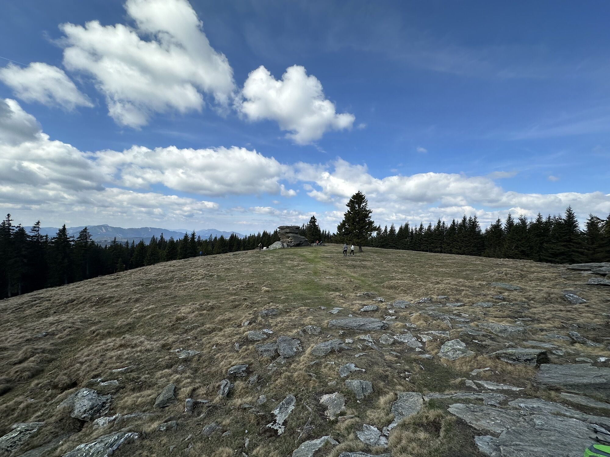
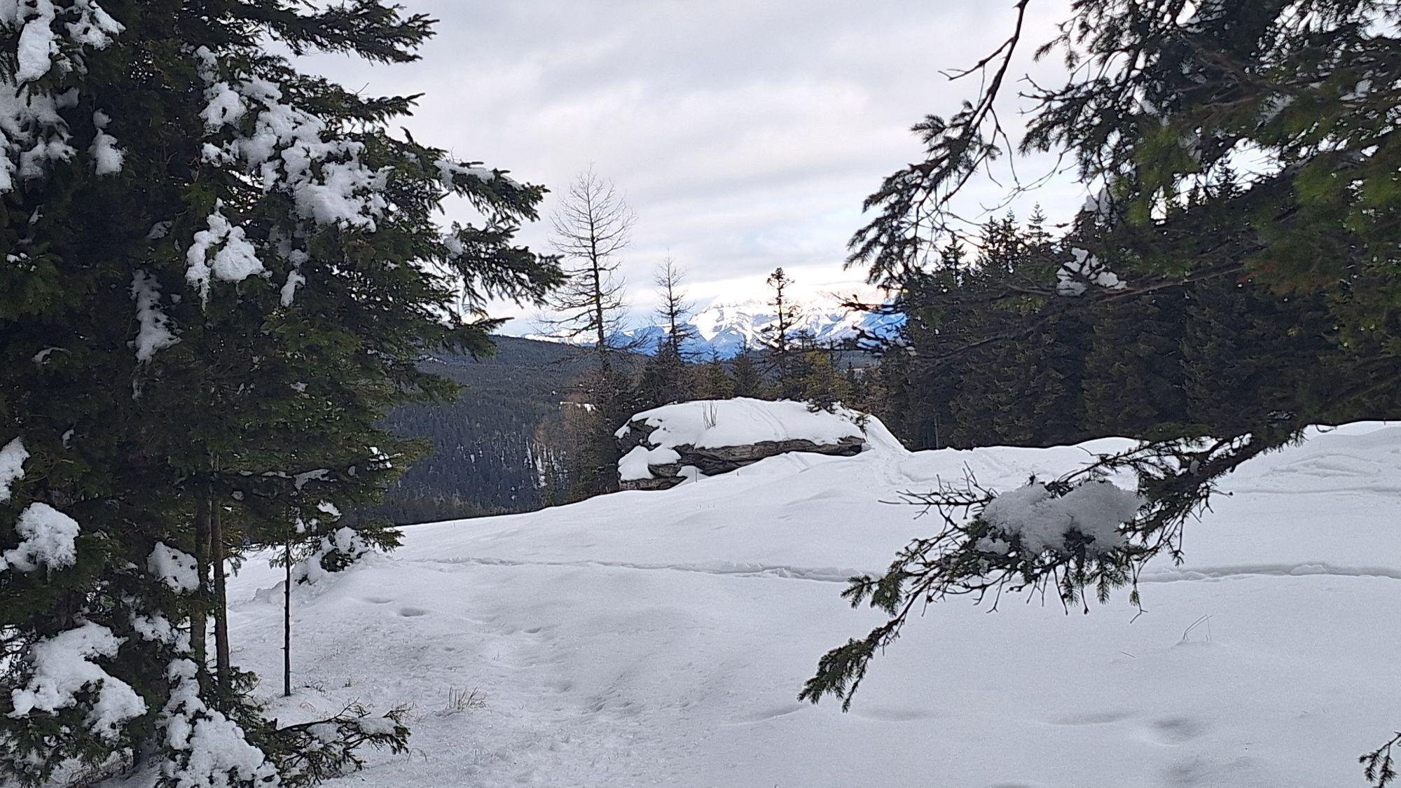
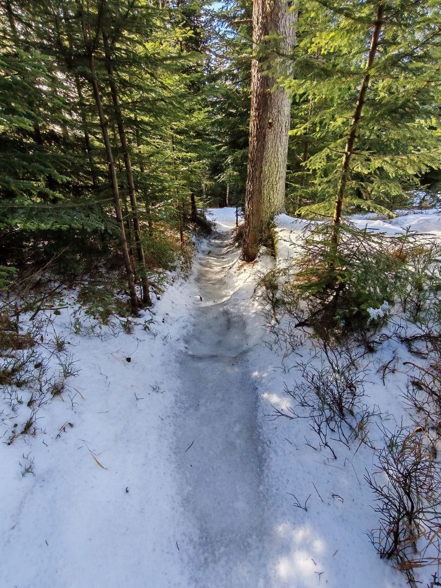
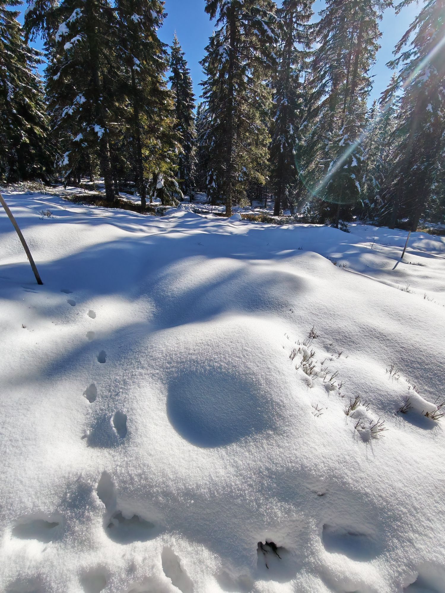
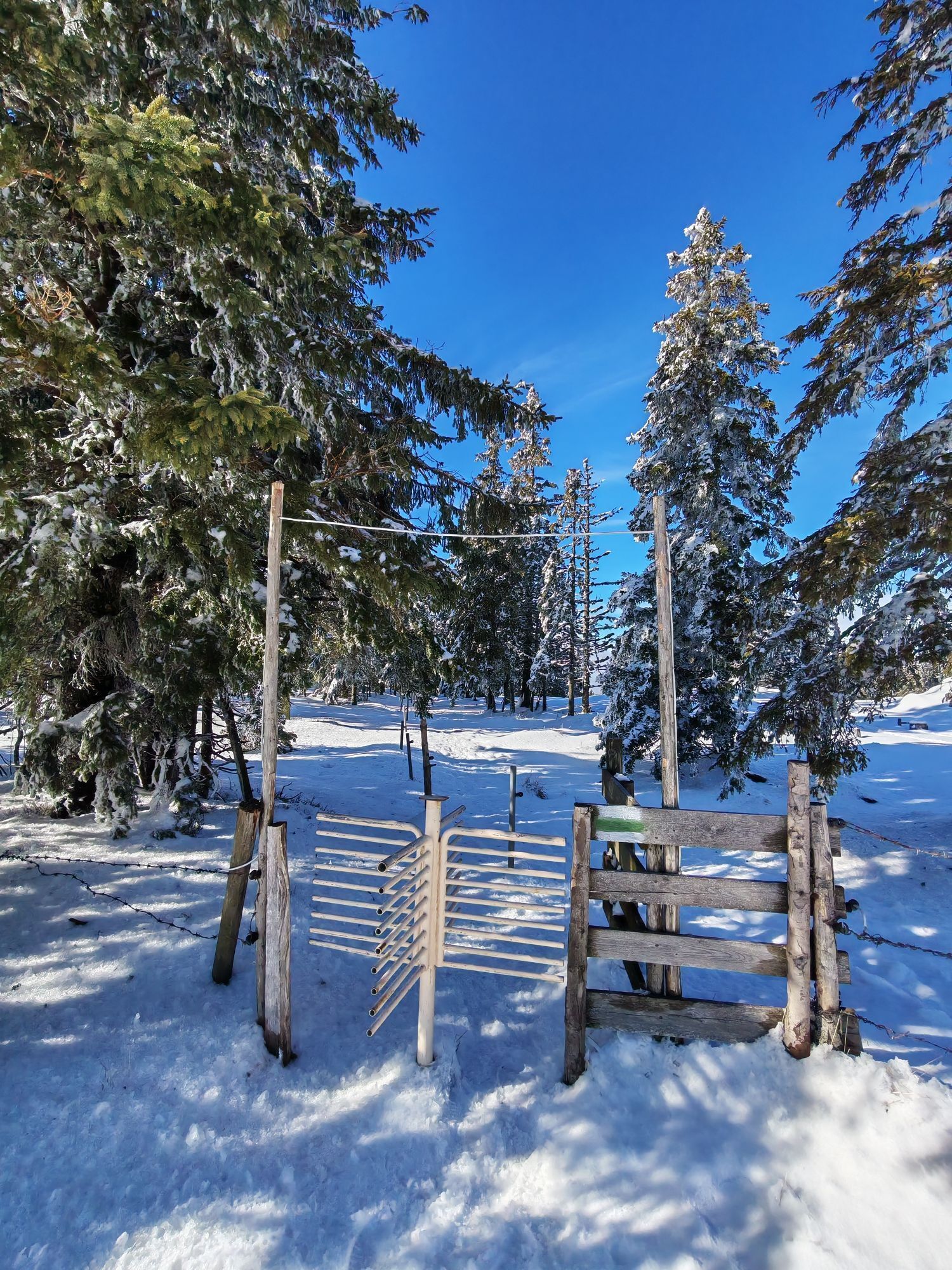
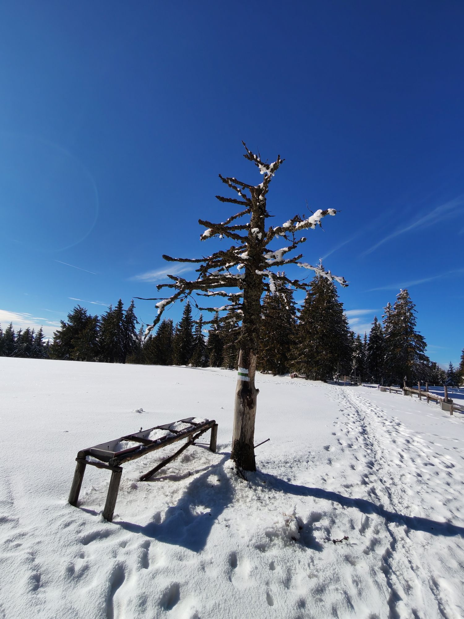
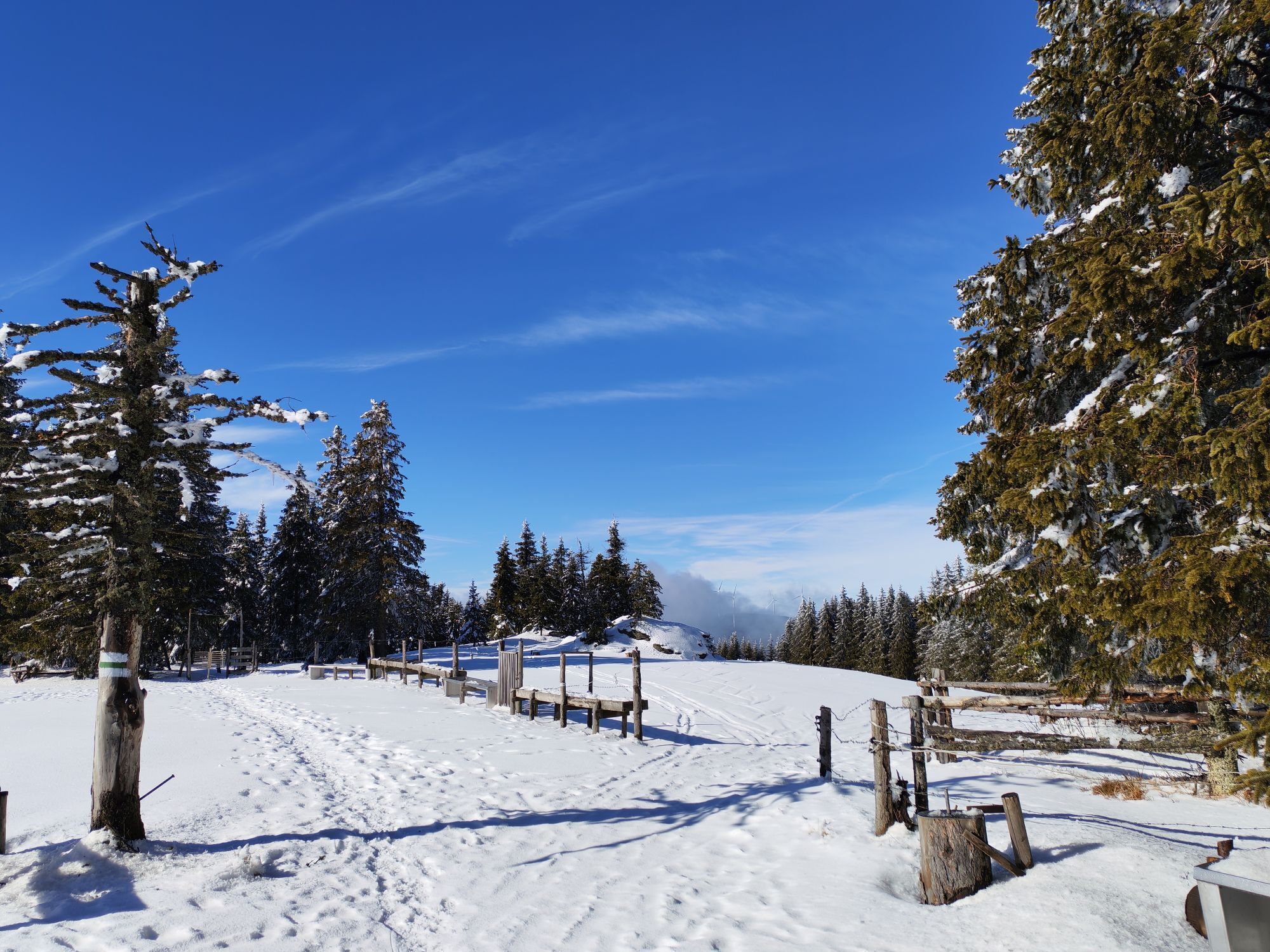
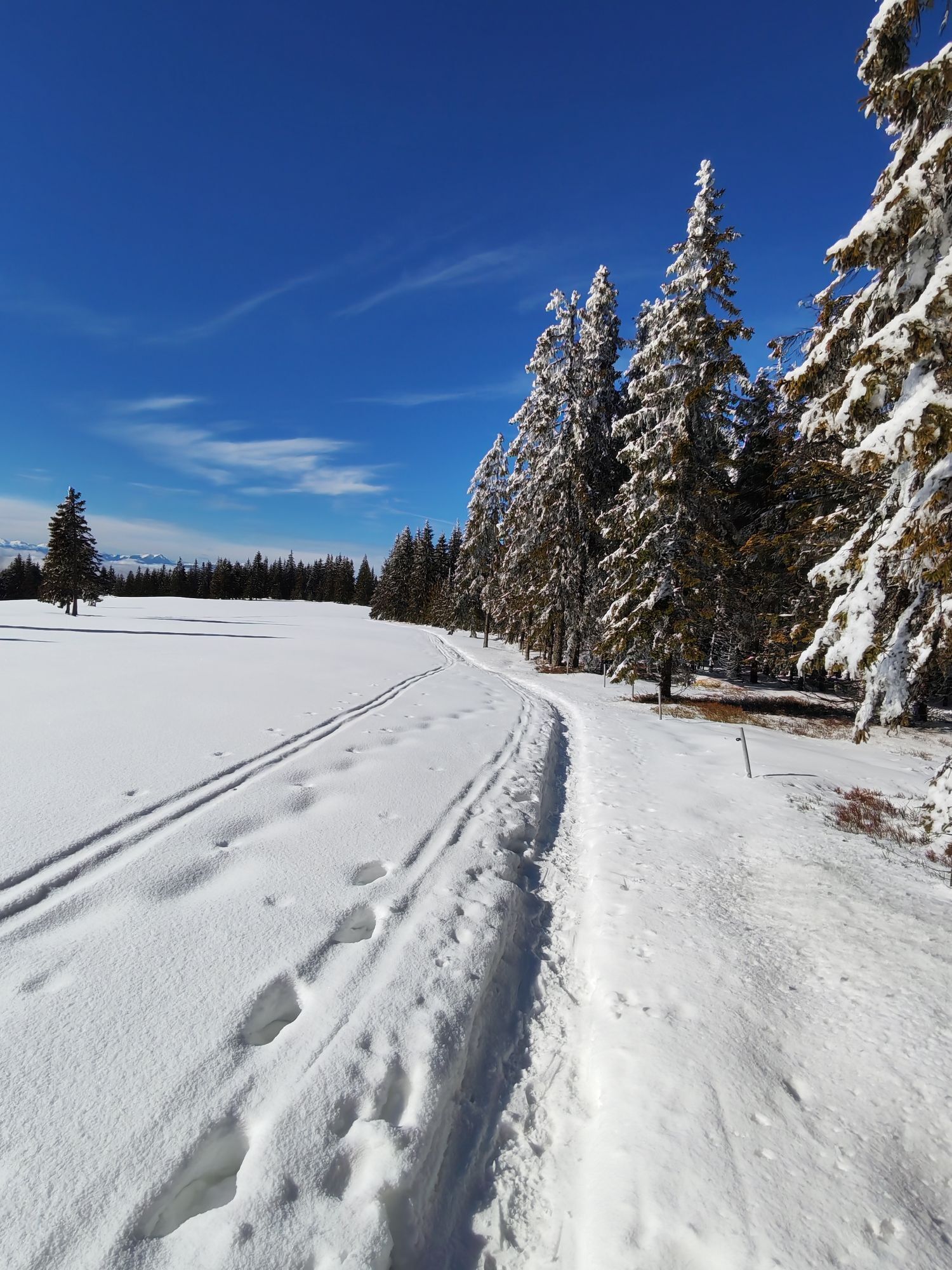
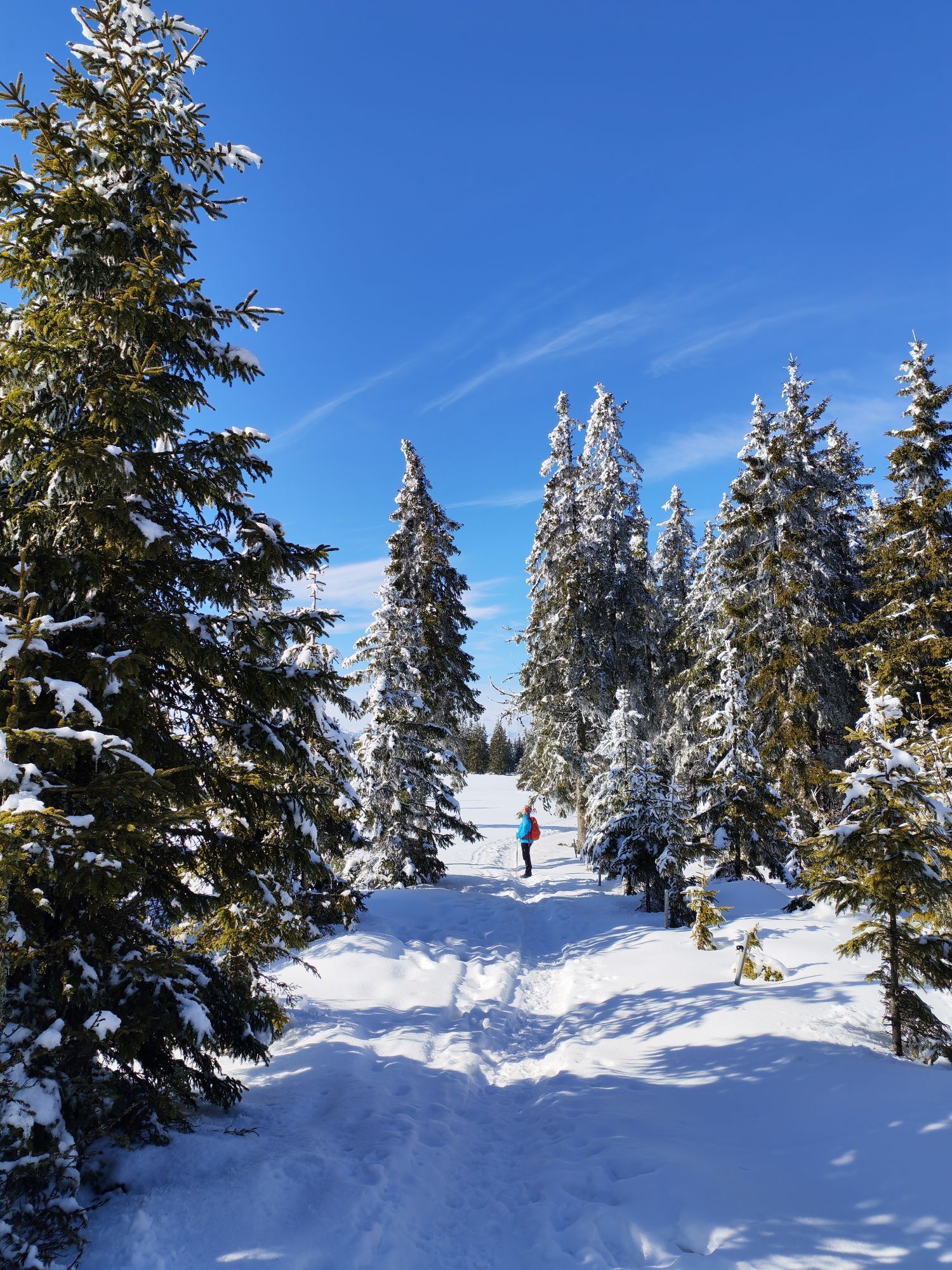
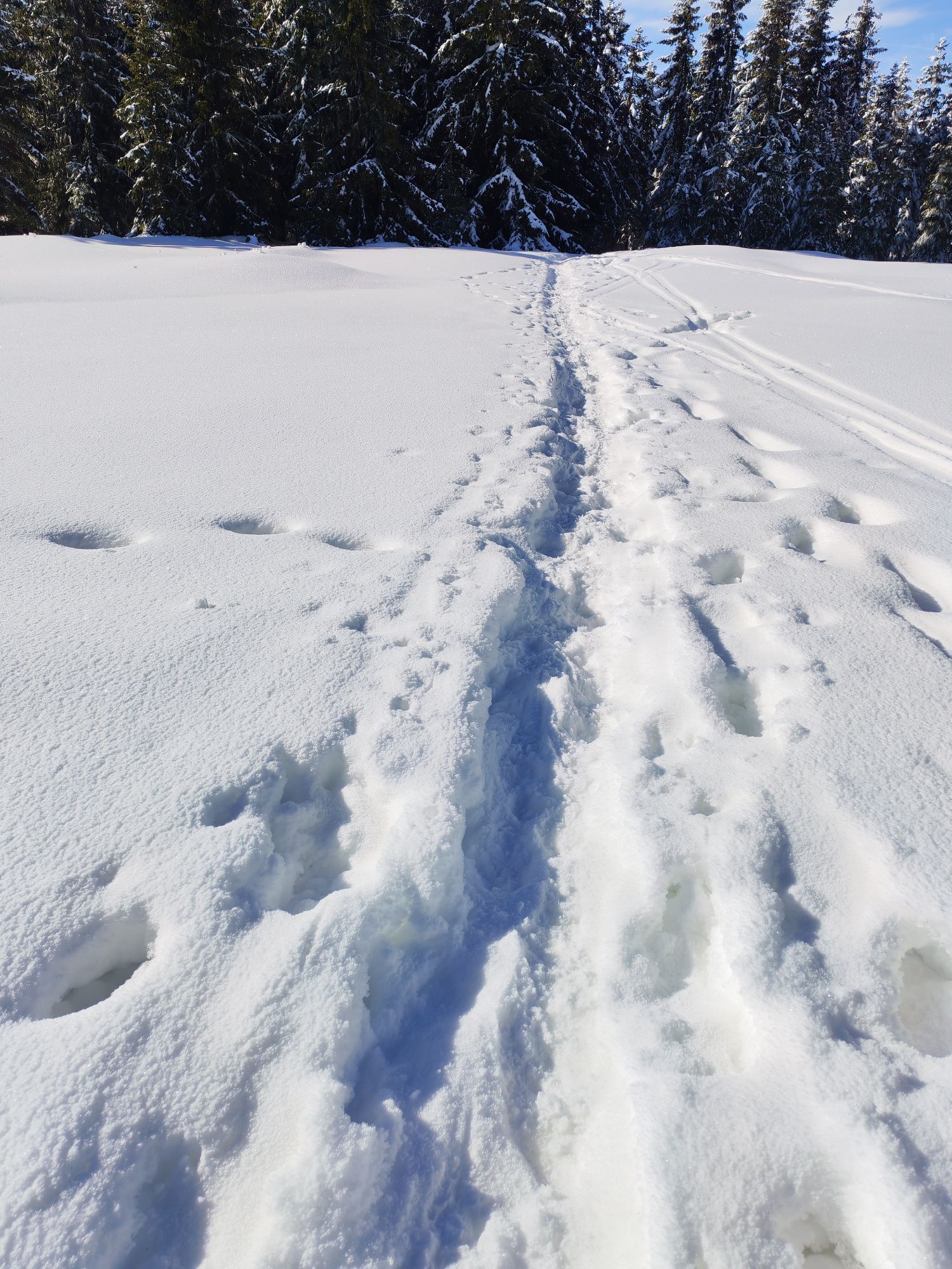
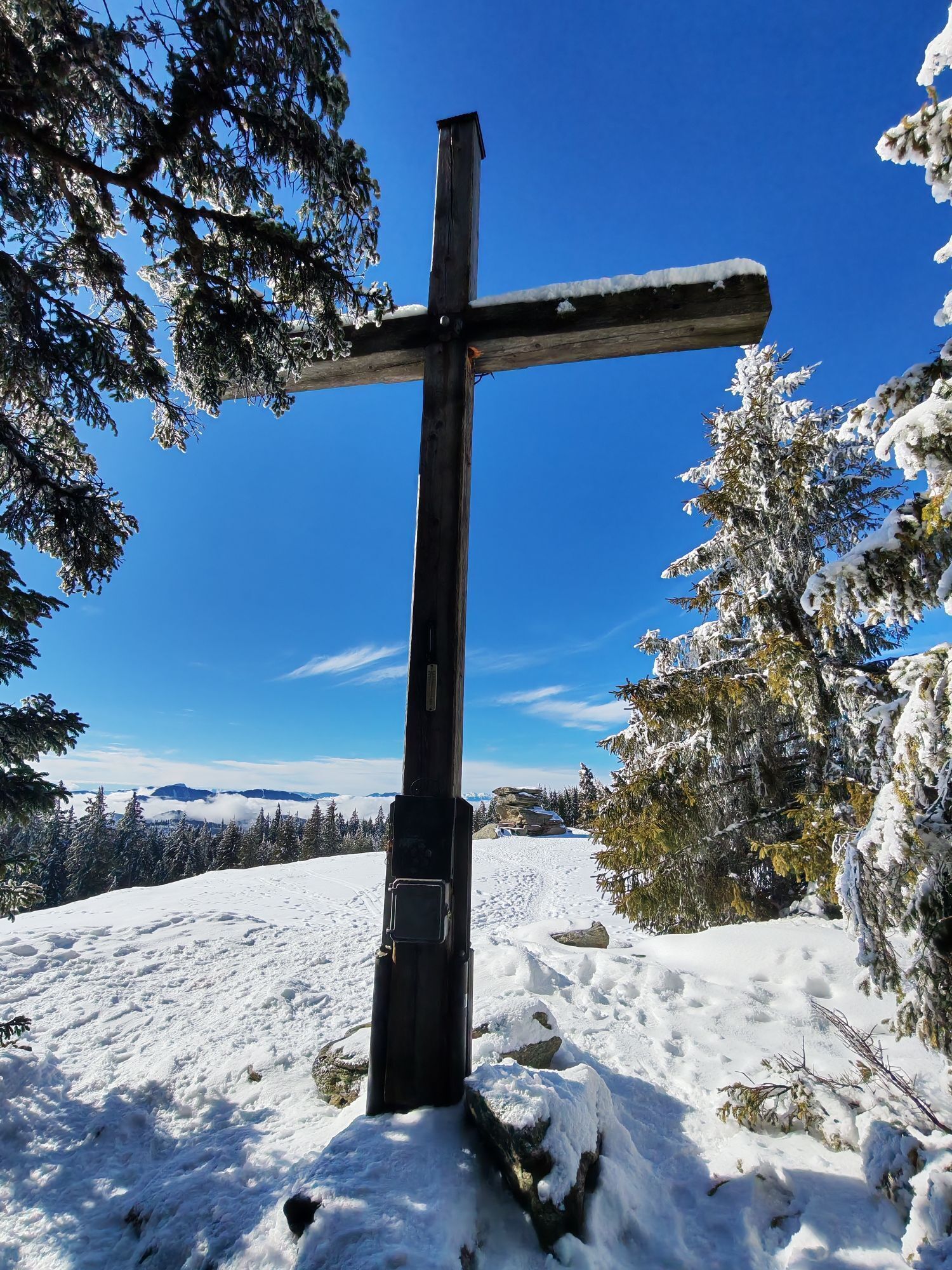
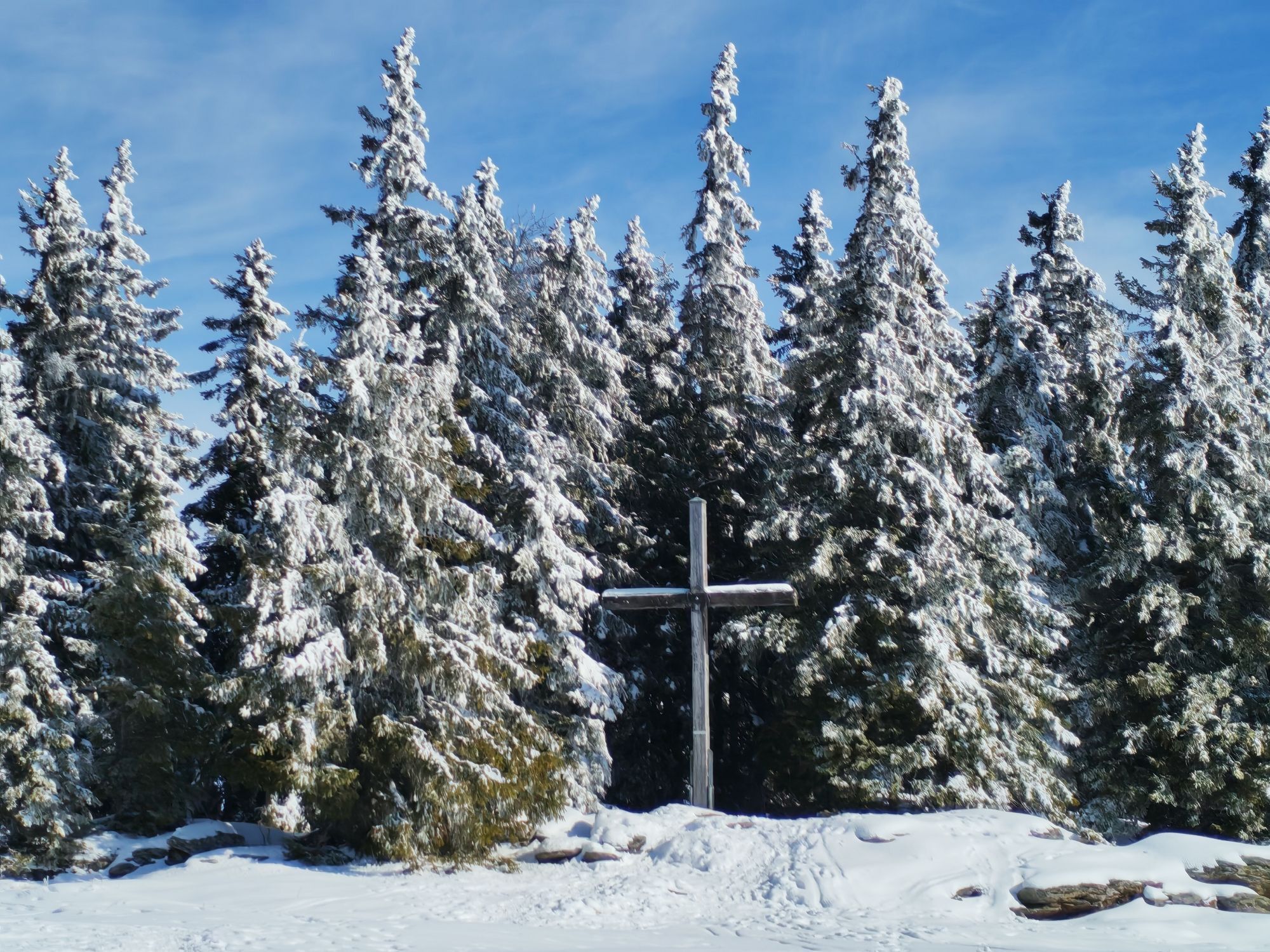
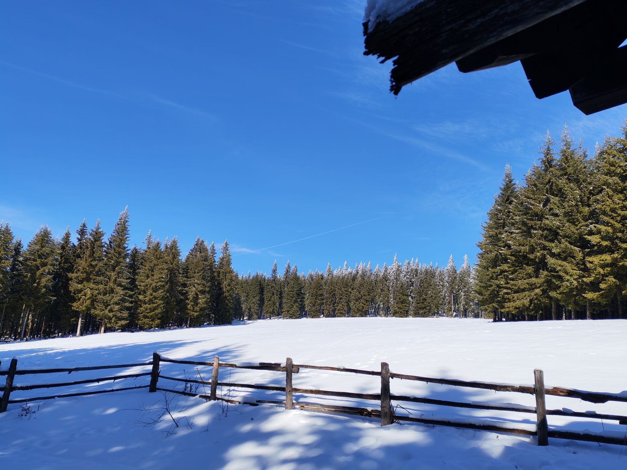
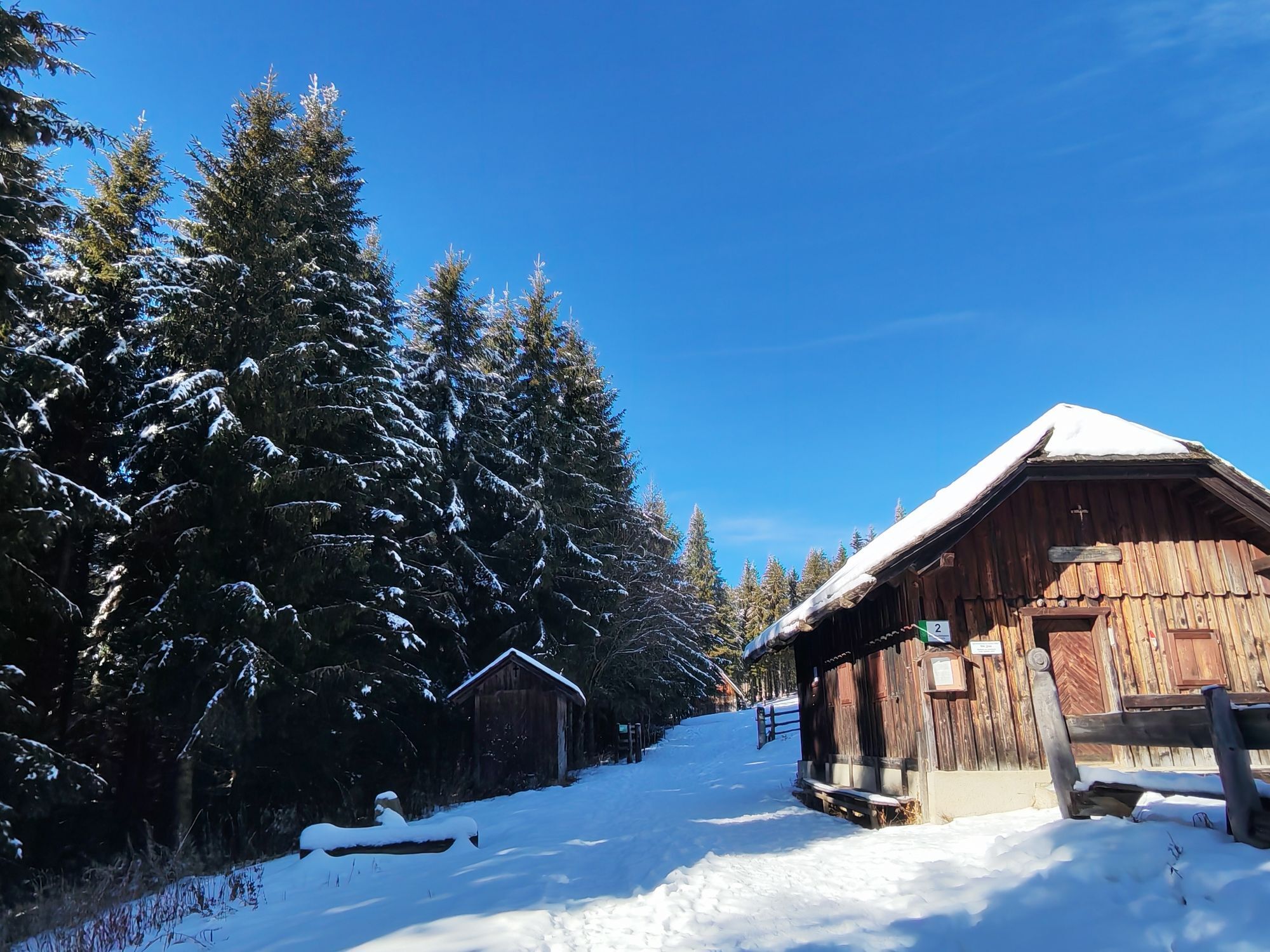
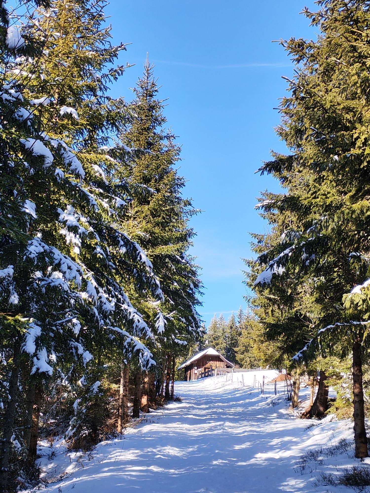
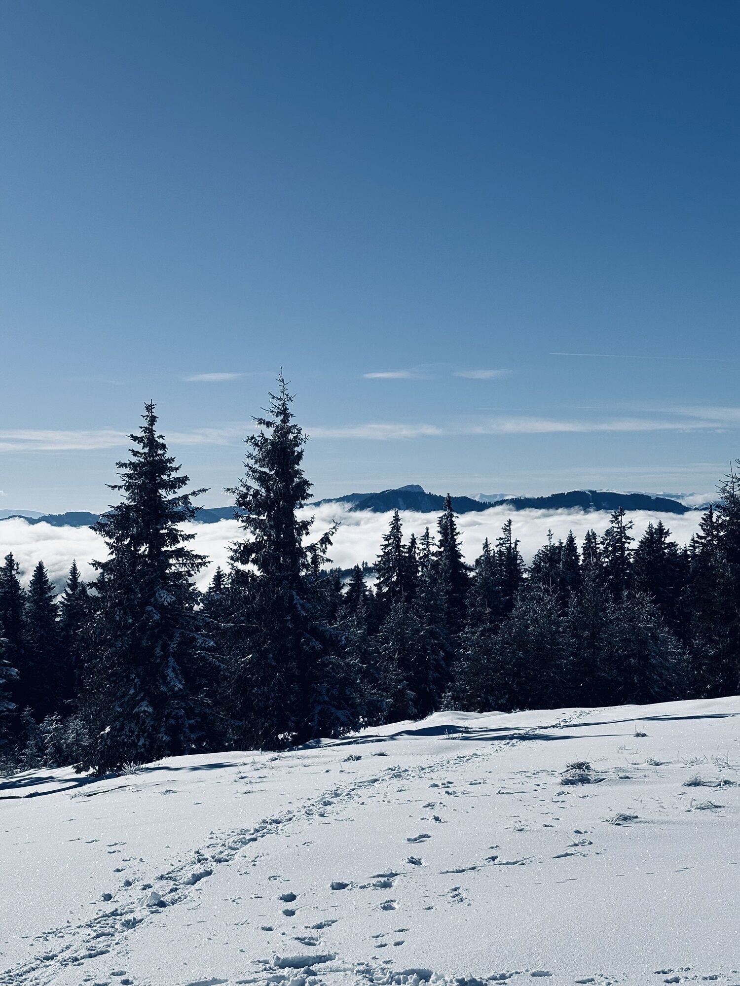
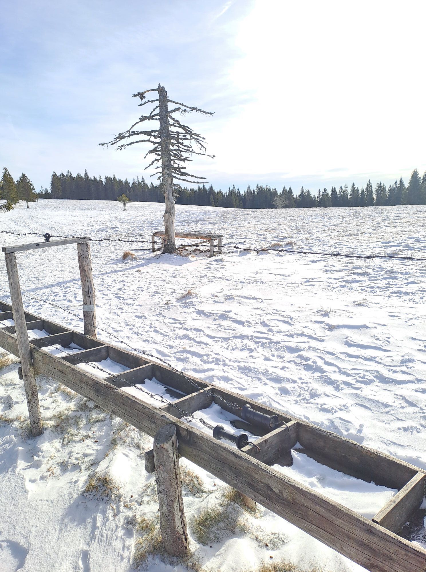
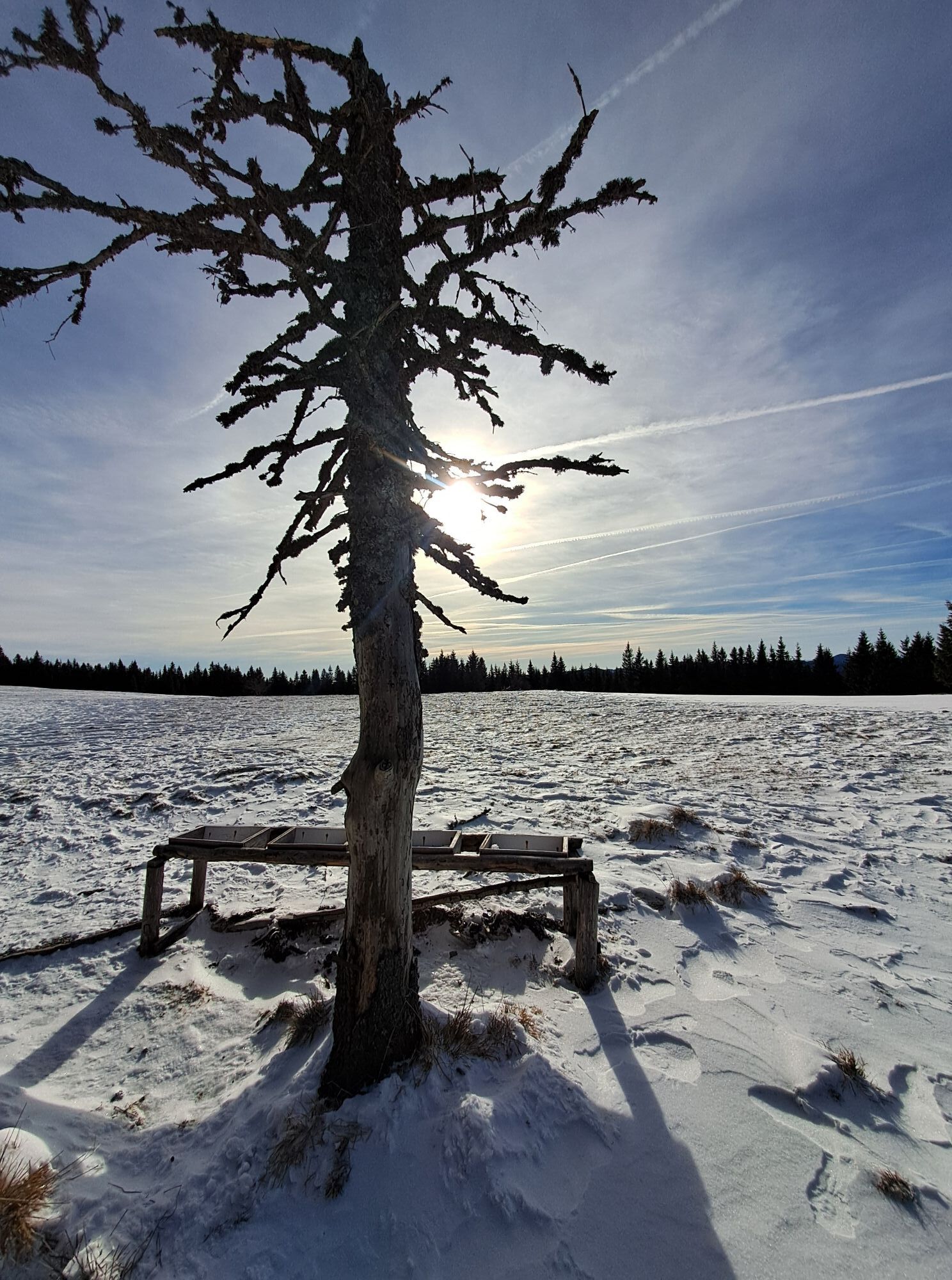
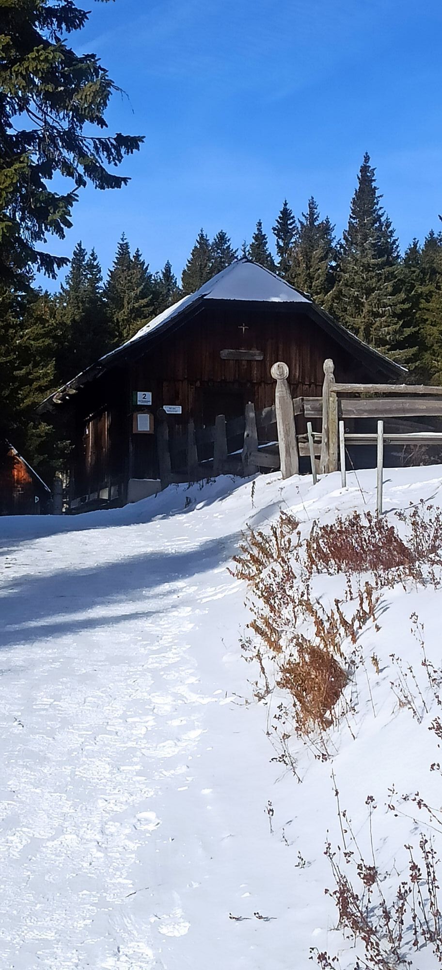
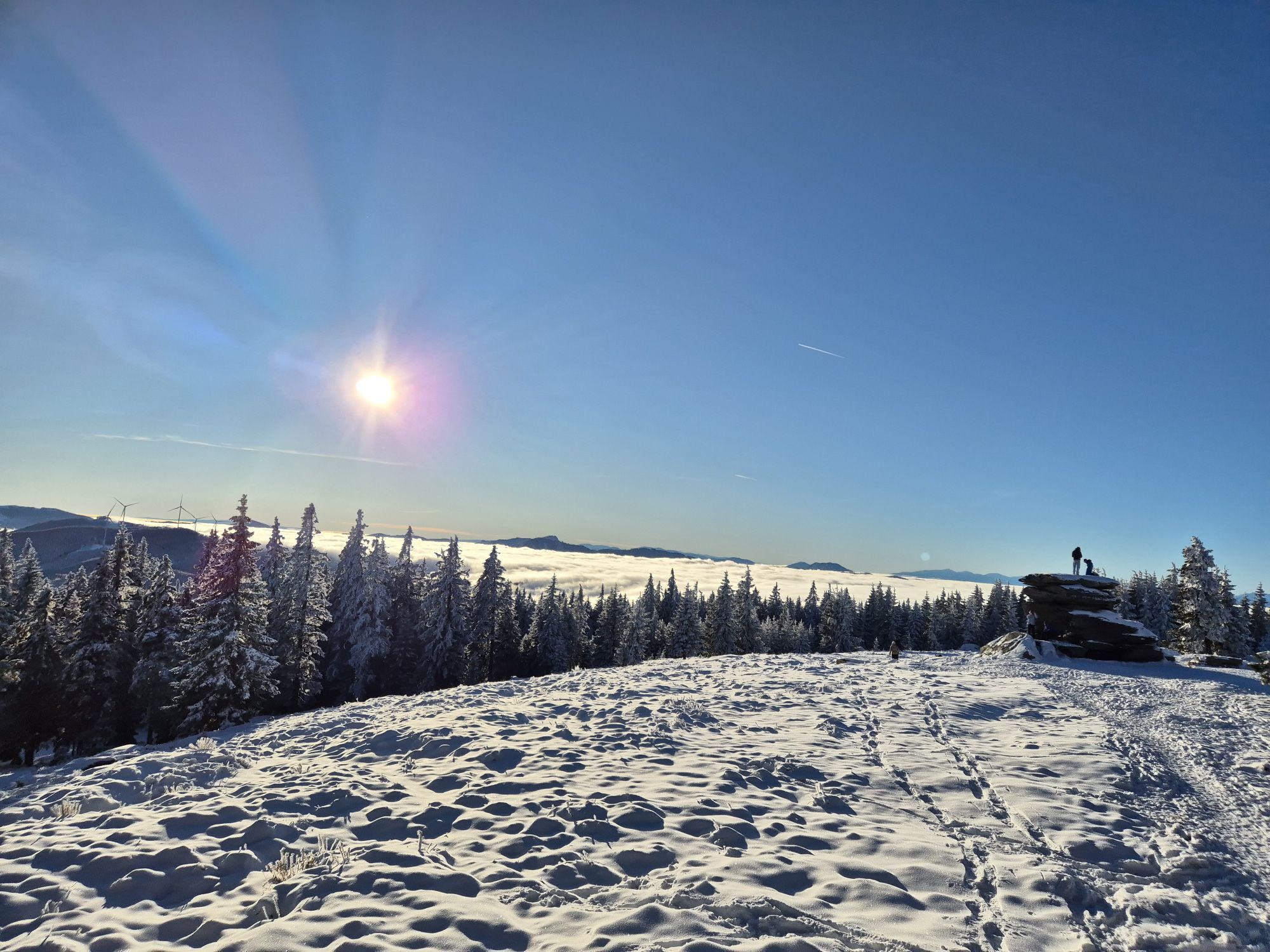
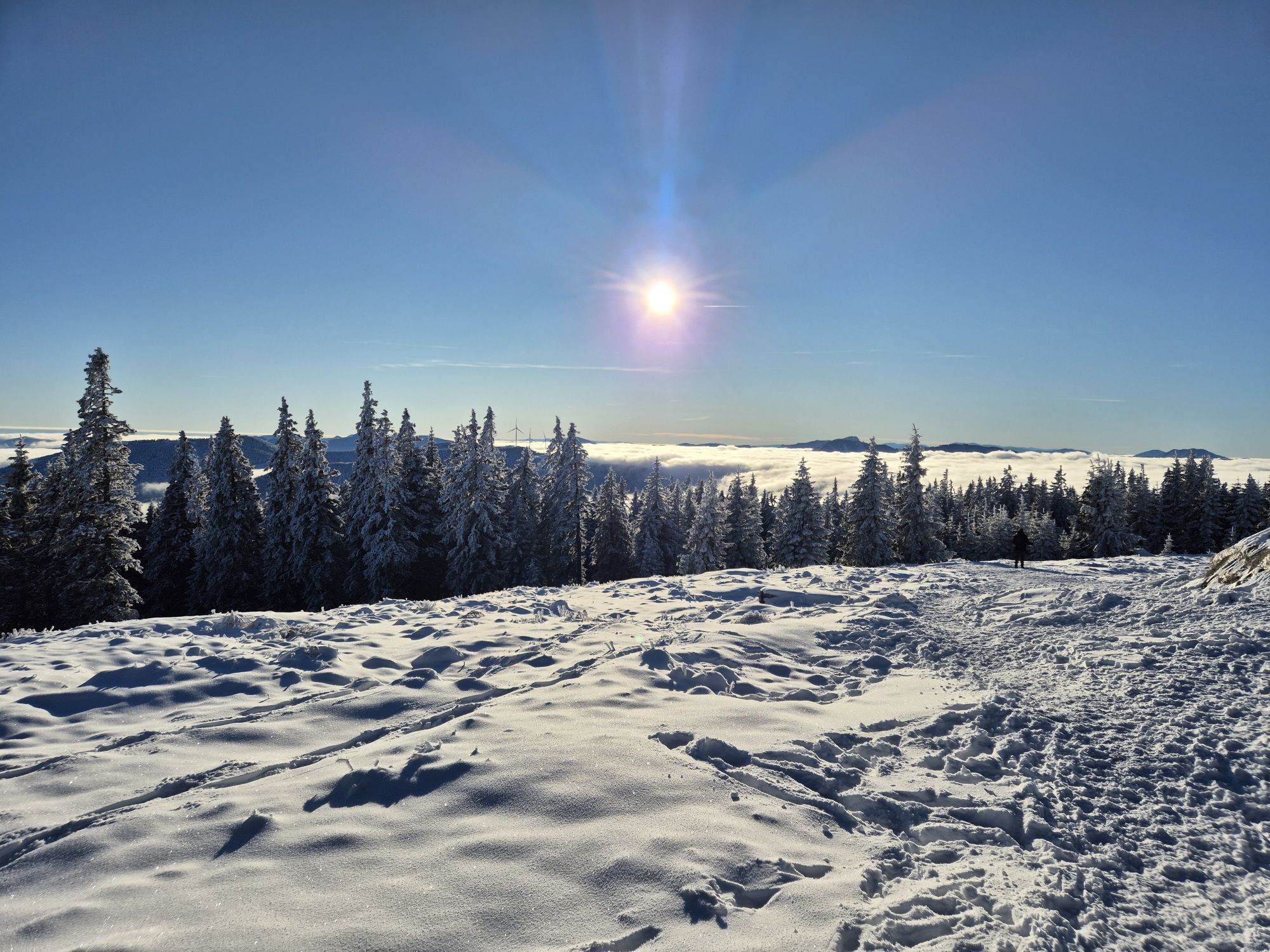
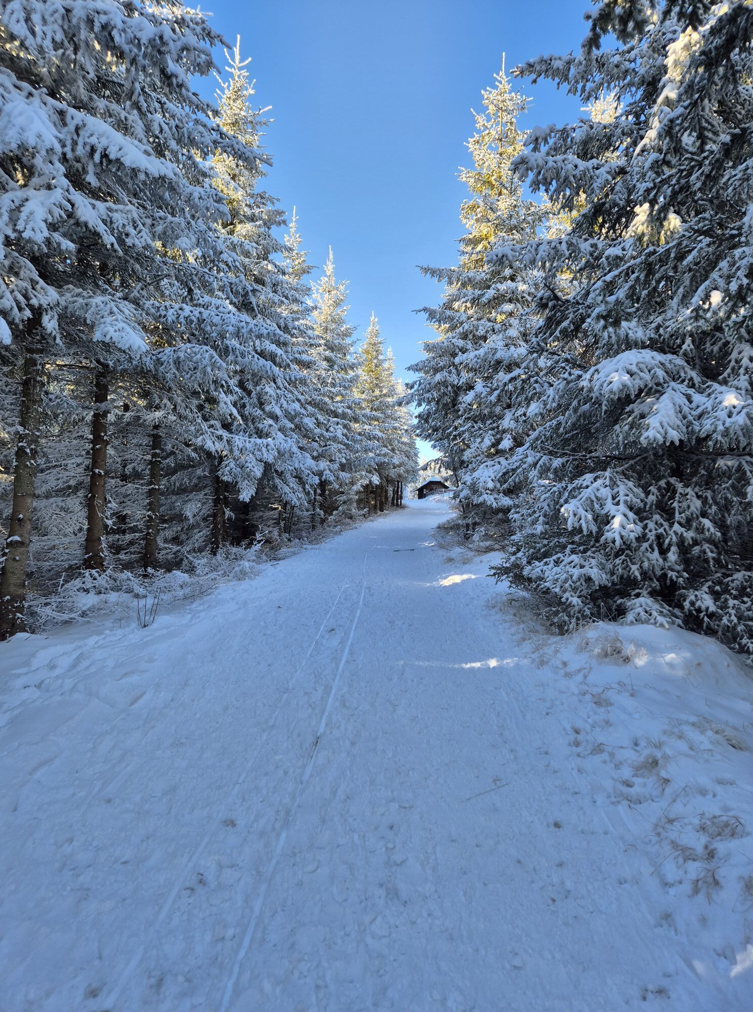
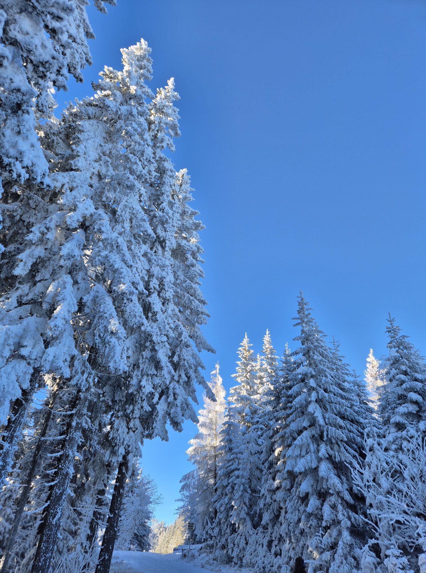
We start at the Alpengasthof Schanz and walk uphill along the asphalt road.After a few meters we see on the left the entrance to the hiking trail 740The signposts with the inscription "Teufelstein" or "Alptor" give us the directionAt the waypoint Alptor we turn leftThen we pass by the "Teufelsteinhütte" hut and reach a snow-covered alpine meadow, which we cross going uphill.We walk through a young forest and cross a forest roadA little later we reach the Teufelstein
However, a backpack should always be with you and proper backpacking makes a lot of things easier: pack heavy things first. The water or tea bottle should always be within easy reach in a side pocket. All things that are often needed like sunglasses, camera or hiking map belong on top.An emergency kit (incl. blister plaster) belongs in every backpack!
Before the start of the hike, check the opening times for refreshments and pack the appropriate food.
Warm clothing, whereby clothing according to the "onion system" is always recommended - because it can be quite "sweaty" to trudge so comfortably through the snow.
Important phone numbers: Fire department: 122 Police: 133 Rescue service: 144 Euronotruf: 112 Emergency call mountain rescue: 140
Detaillierte Informationen zur Anreise finden Sie hier.
Verbundlinie Steiermark www.busbahnbim.at
Mit der BusBahnBim App der Verbundlinie ist eine Fahrplanauskunft so einfach wie noch nie: Alle Verbindungen mit Bus, Bahn und Straßenbahn in Österreich können durch die Eingabe von Orten und/oder Adressen, Haltestellen bzw. wichtigen Punkten abgefragt werden. Erhältlich ist die App als Gratis-App für Smartphones (Android, iOS) – auf Google Play und im App Store
EIn Parkplatz ist beim Alpengasthof Schanz vorhanden.
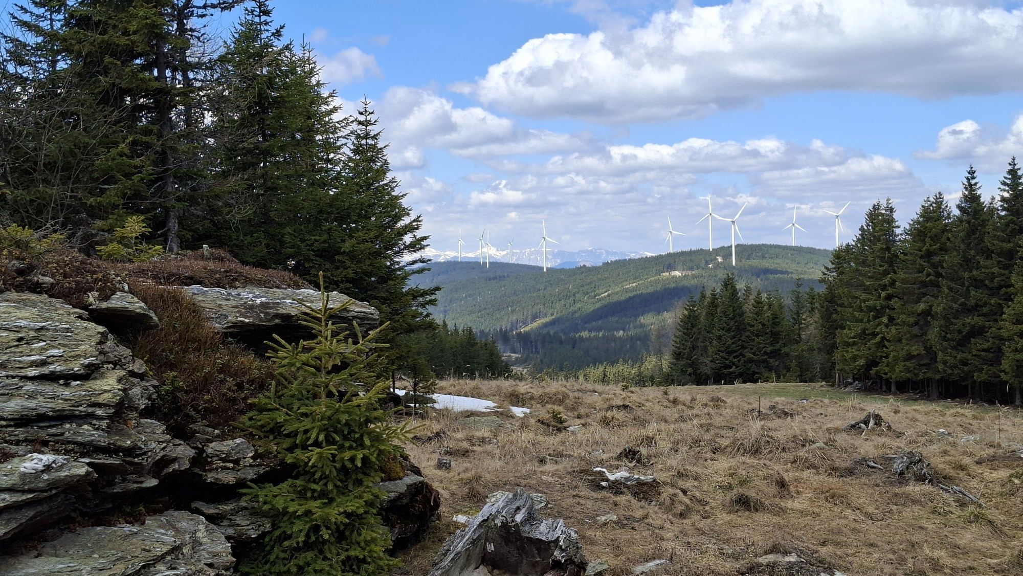
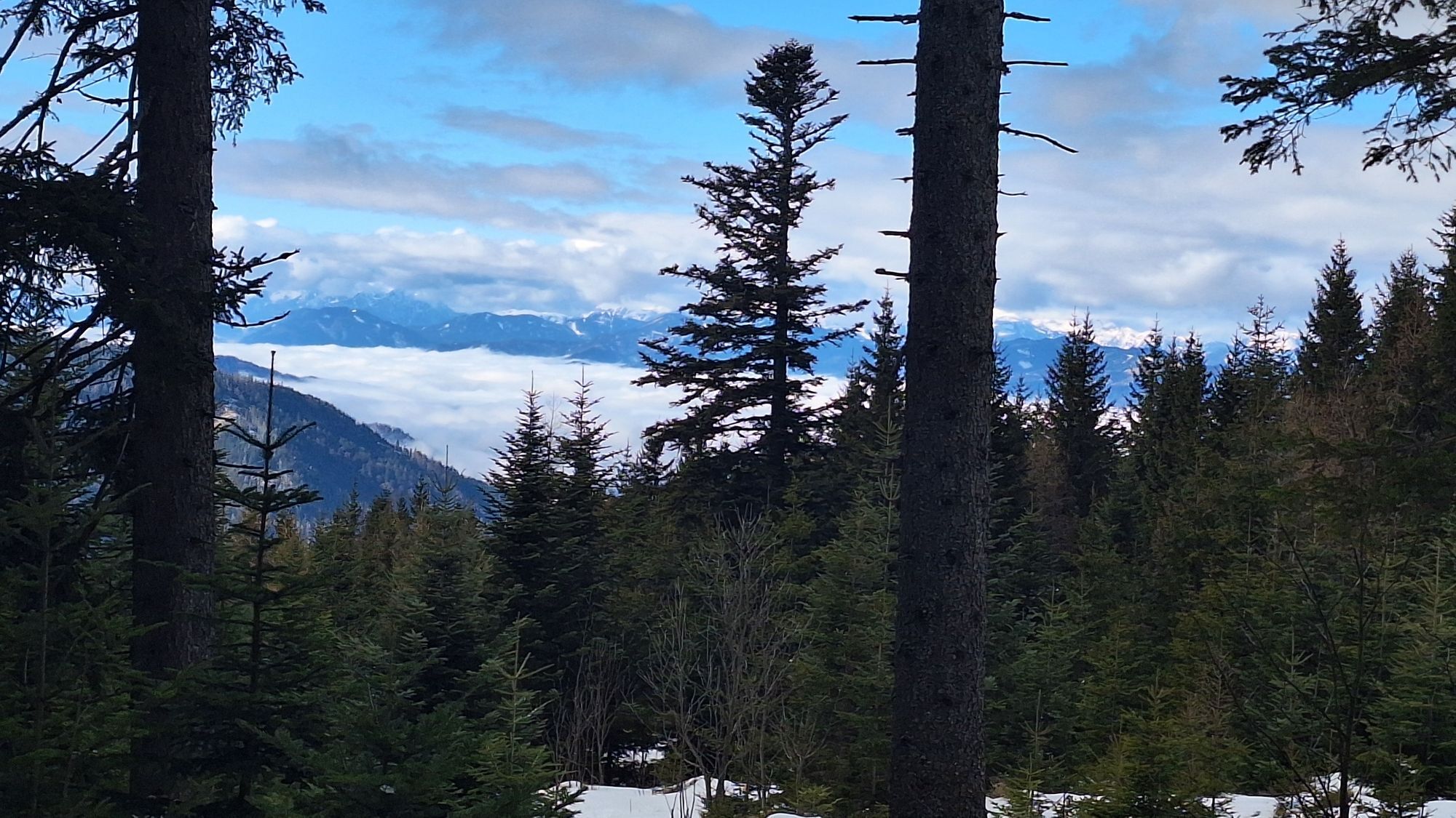
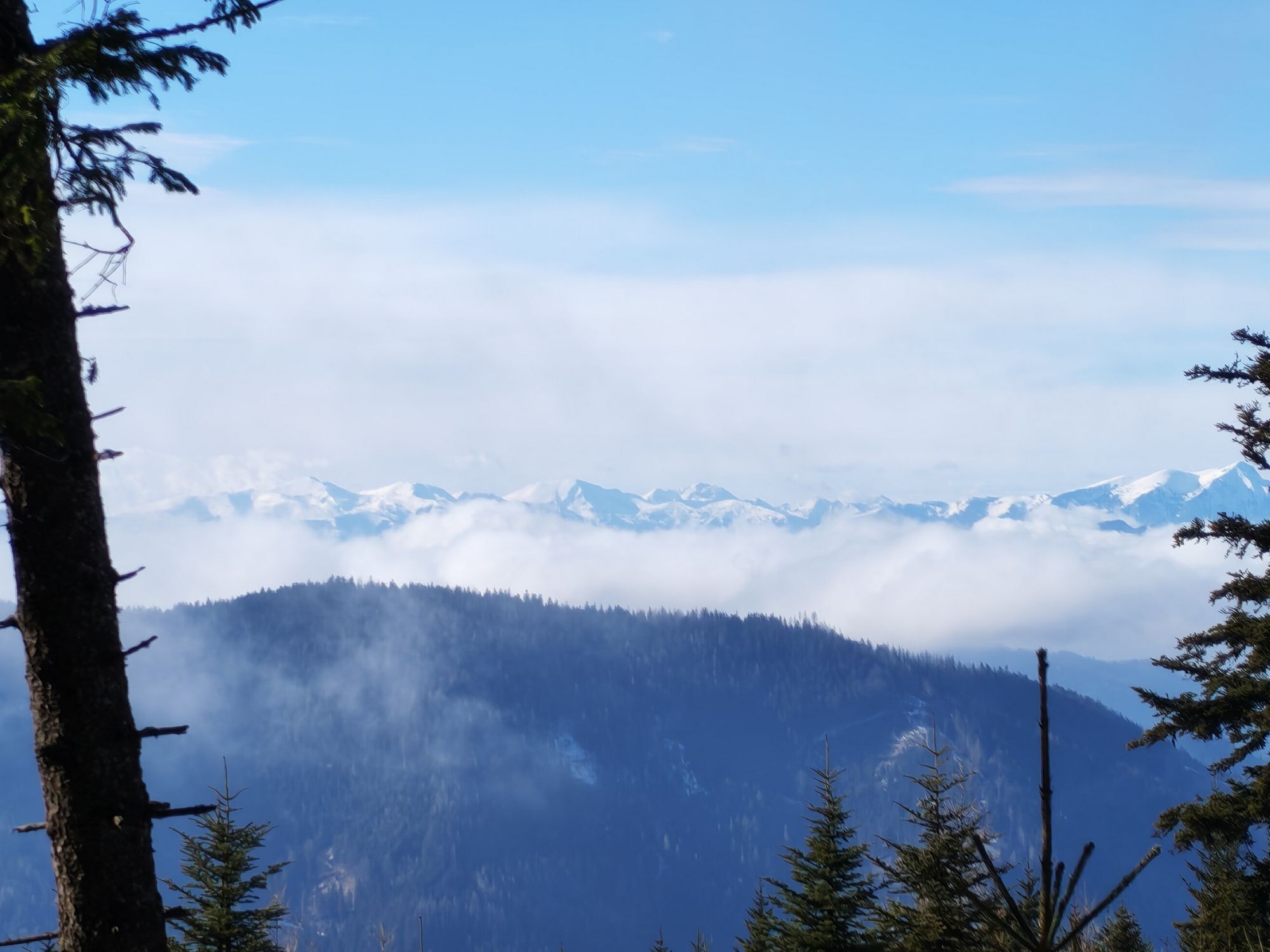
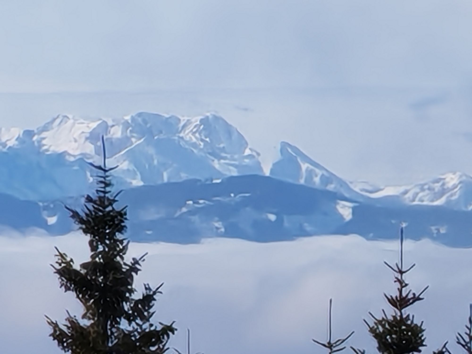
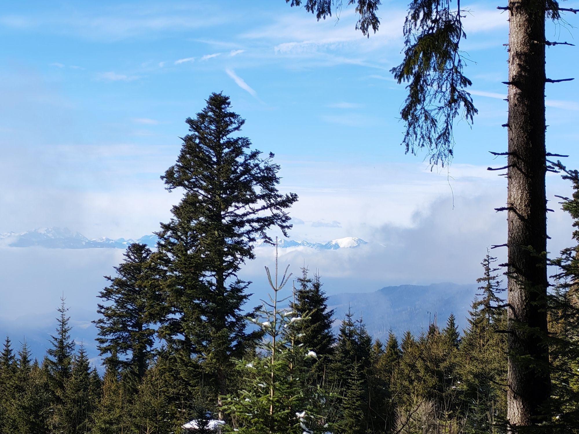
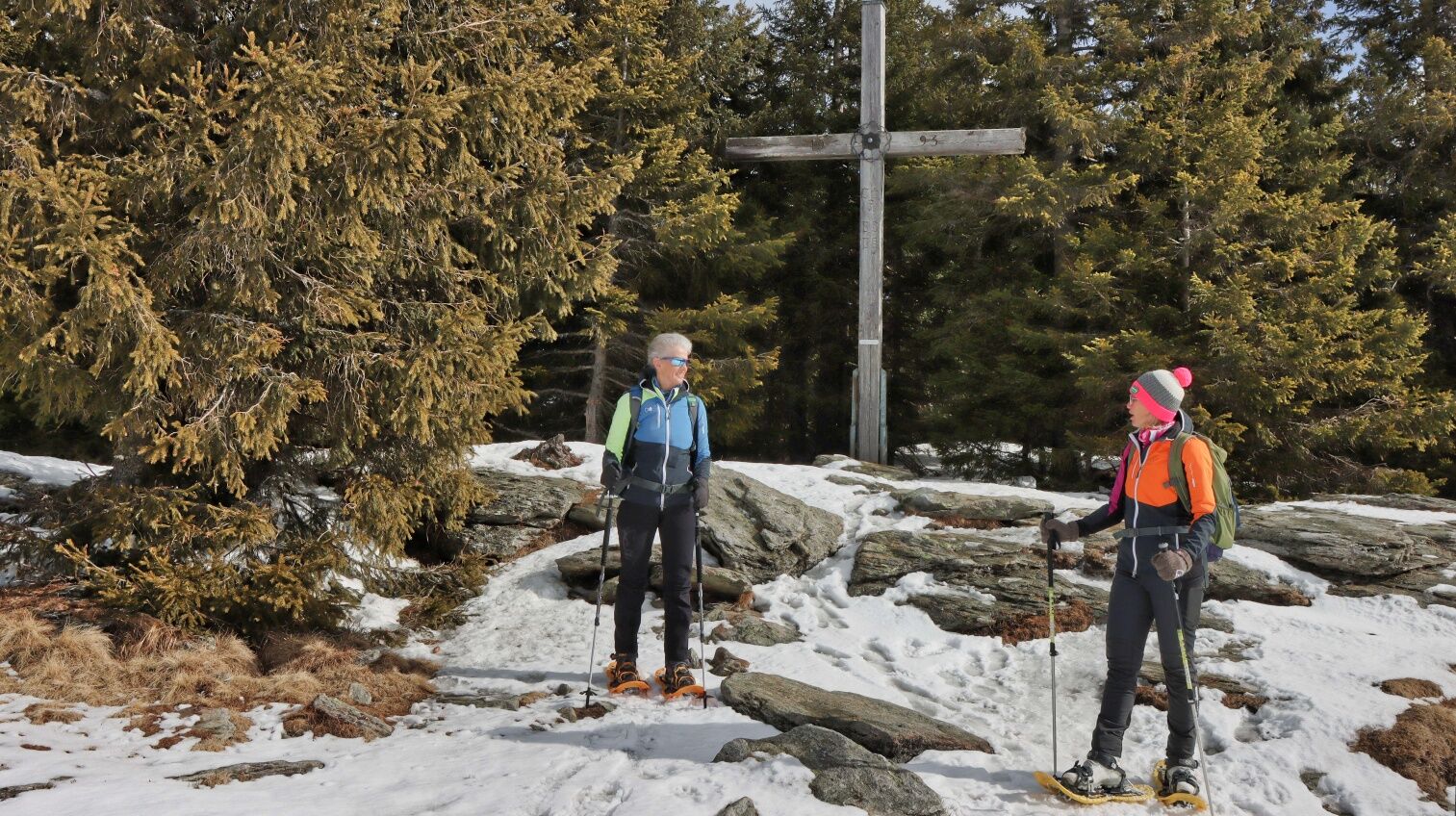
The hike leads through forests and across meadows to a special power place in Fischbach - enjoy the view of eastern Styria and the surrounding mountains from Hochschwab over the Veitsch and the Rax to the Schöckl.


Obľúbené výlety v okolí
-
4,1
Teufelsteinrunde
strednáTuristika 8,66 km -
4,6
Siebenkögel-Rundweg, Sommeralm
strednáTuristika 12,7 km -
4,5
Plankogel-Rundweg, Sommeralm
svetloTuristika 6,30 km -
4,7
"Teufelsteinrunde" in den Fischbacher Alpen
svetloSnežnice 7,13 km -
4,3
Heulantsch-Runde, Teichalm
strednáTrailrunning 14,8 km -
4,8
Teufelsstein
svetloTuristika 5,68 km -
4,0
Edlseer Hoamat-Wanderweg, Birkfeld
strednáTematická trasa 12,1 km -
4,6
Stanzer Sonnenweg
strednáTematická trasa 9,26 km -
4,1
R5 Mürztalradweg
Cyklistika 66,6 km -
4,6
Romai Wasserfall Runde, St. Jakob im Walde
strednáTuristika 11,4 km
Turistika a stopovanie


Nenechajte si ujsť ponuky a inšpiráciu na ďalšiu dovolenku
Vaša e-mailová adresa bol pridaný do poštového zoznamu.