







BergeSeen Trail 19: Tauplitzalm - Gößl
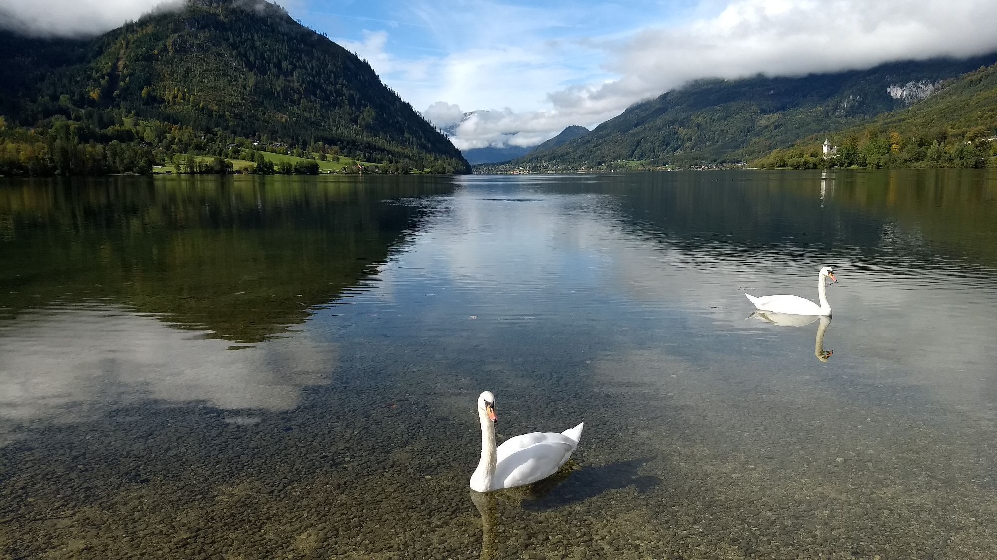
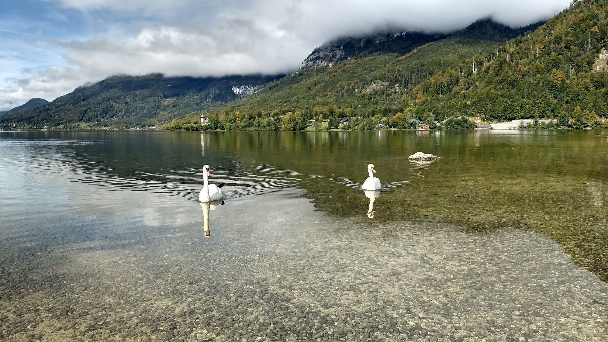
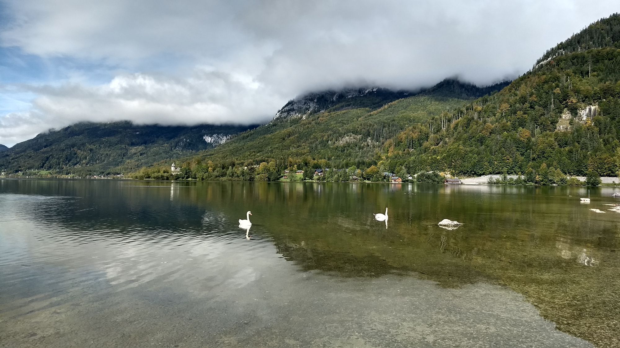
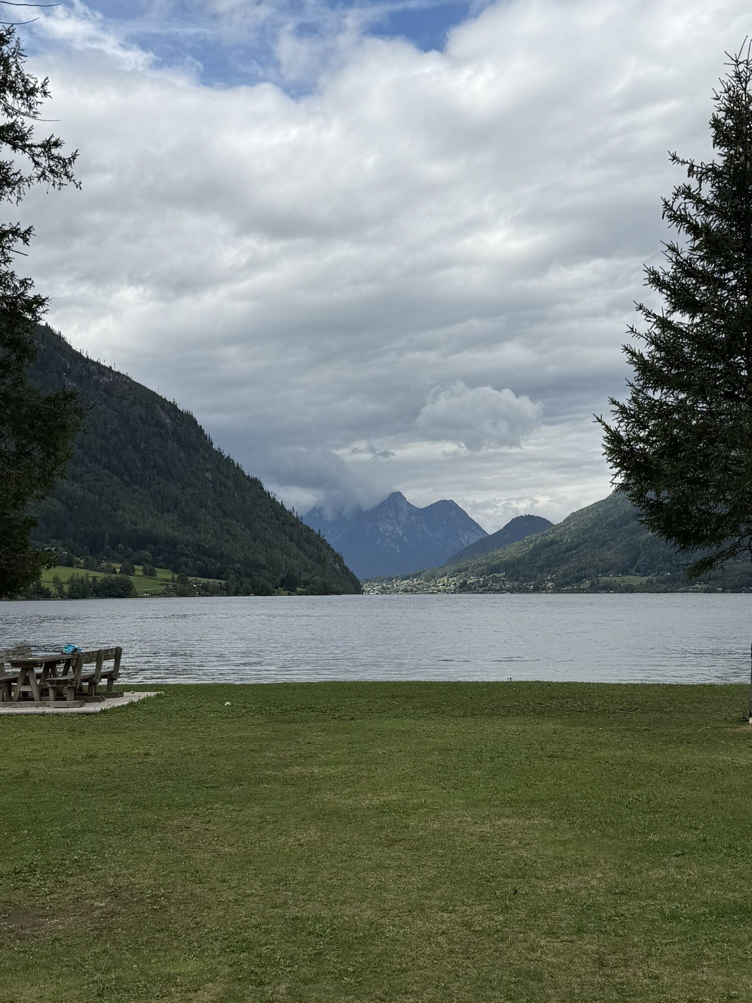
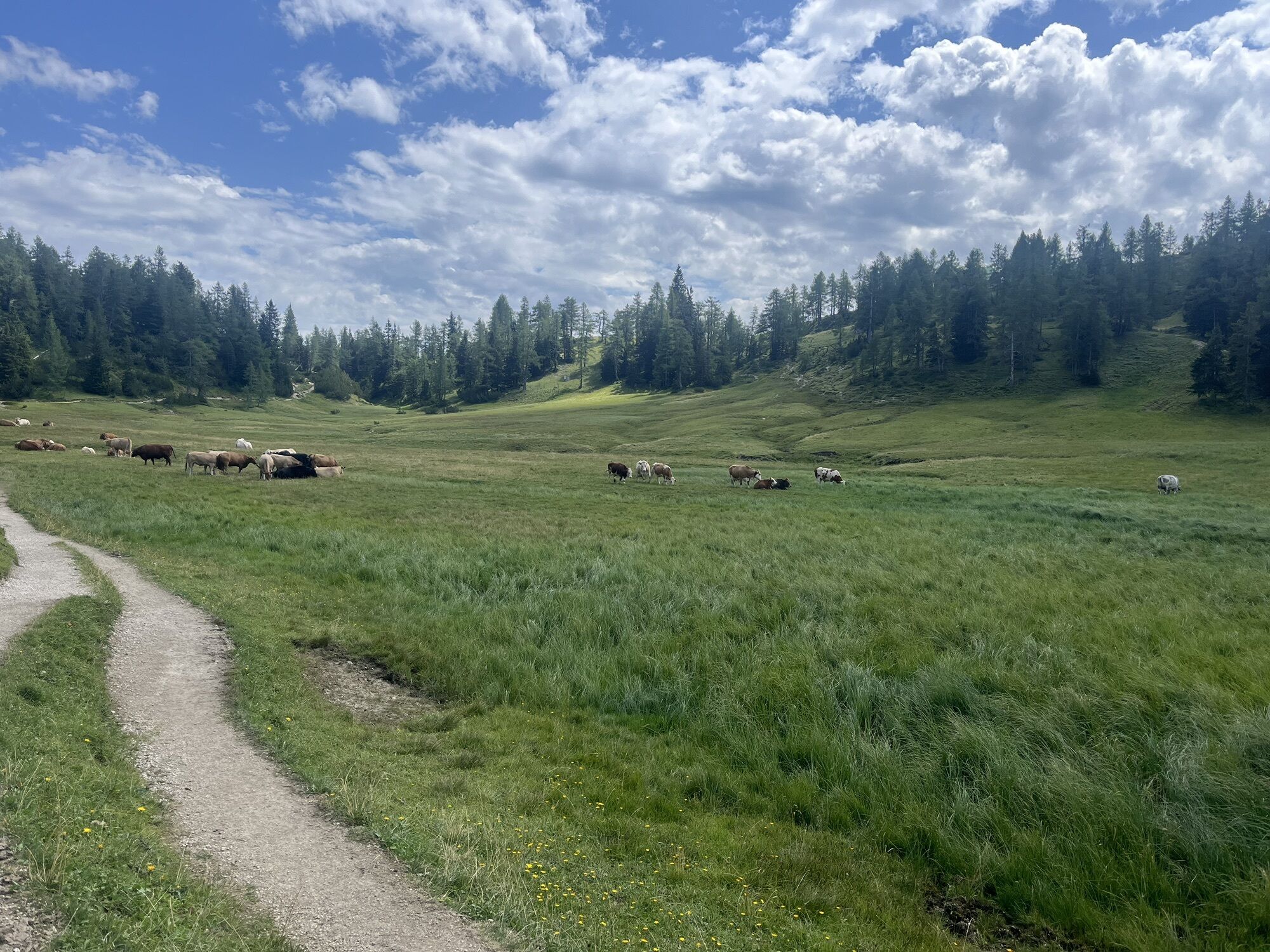
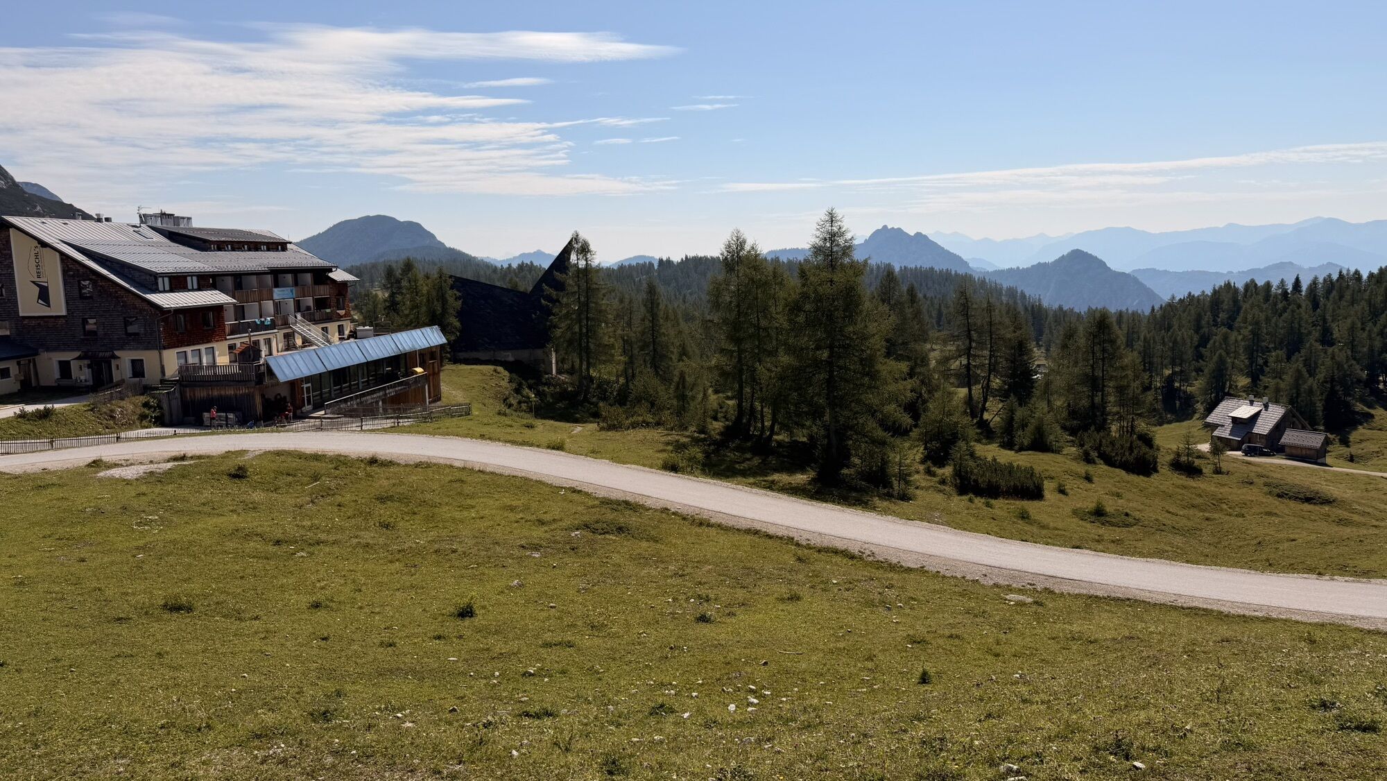
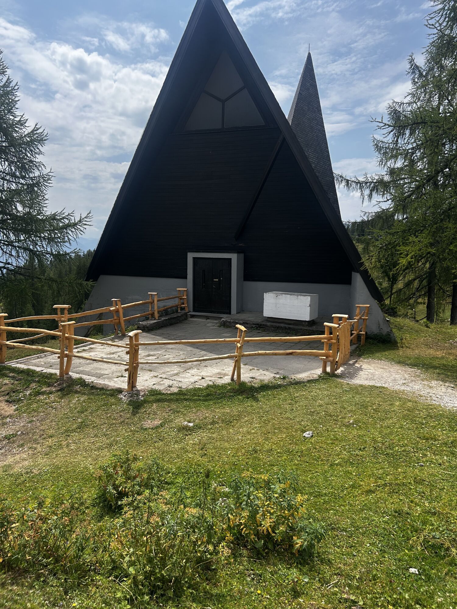
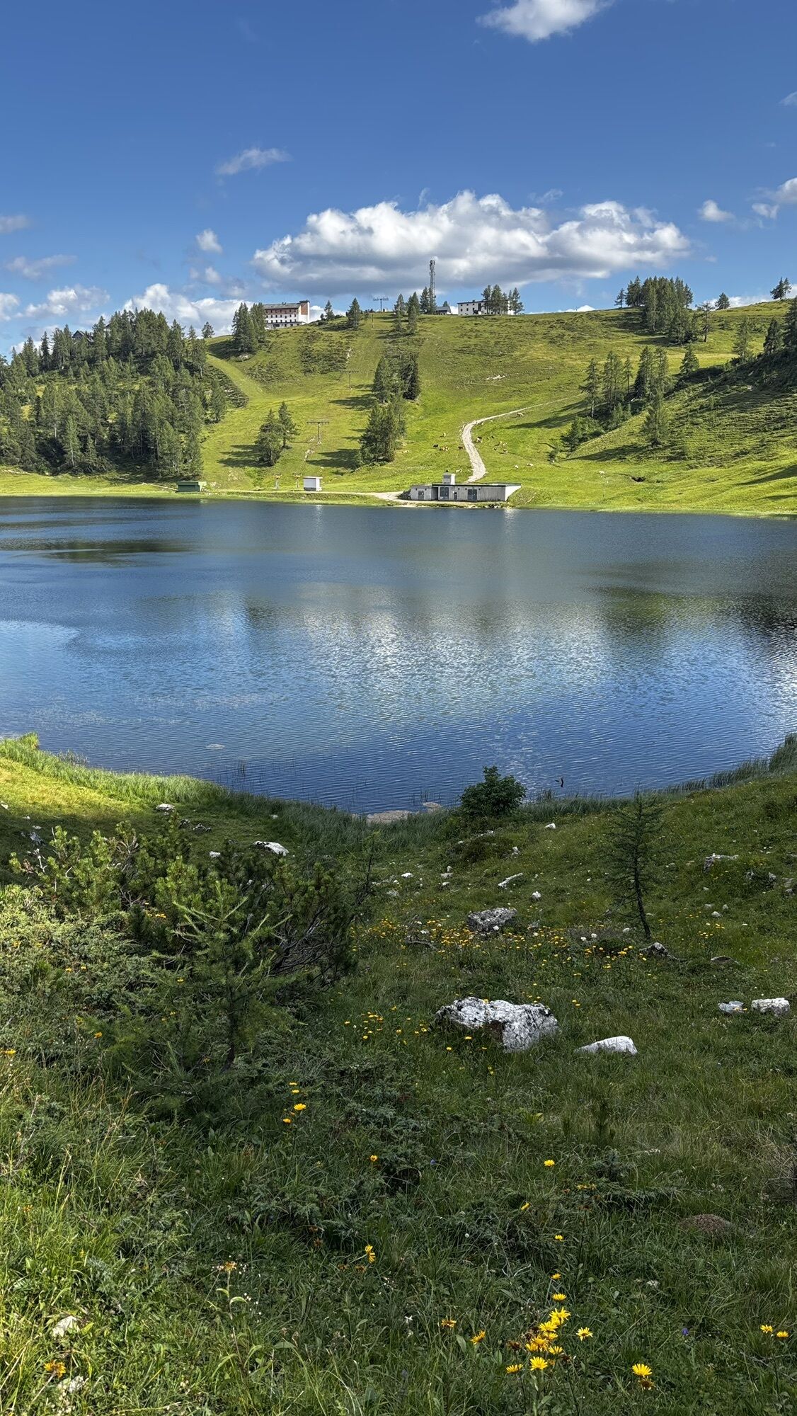
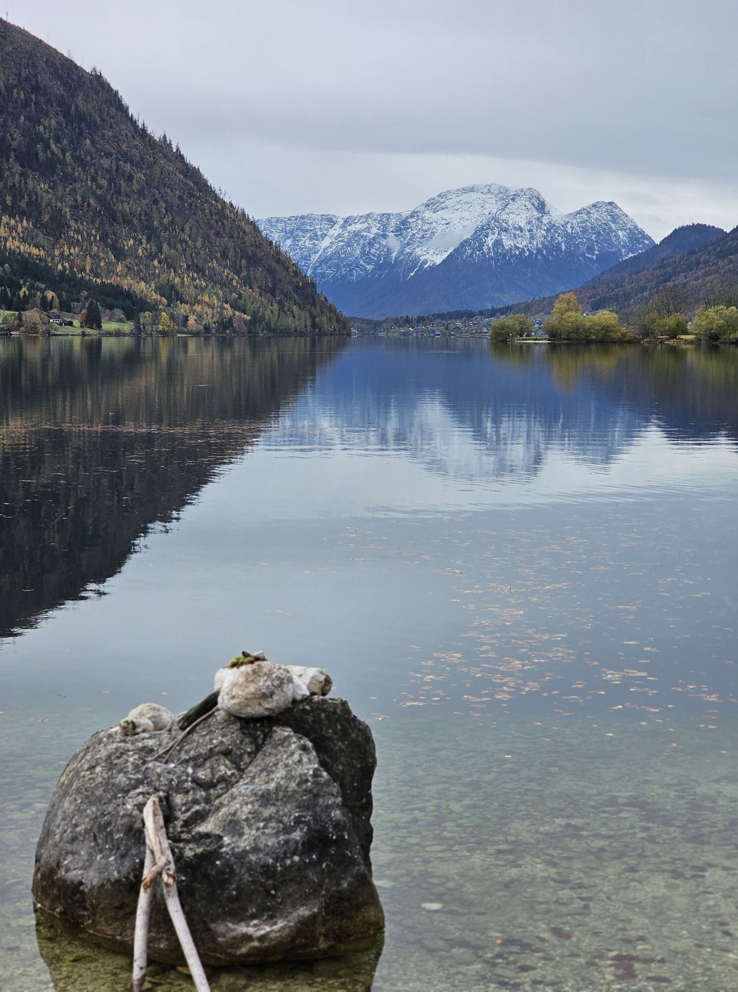




When crossing from the Tauplitzalm to the Grundlsee, you walk through lonely forest valleys and hidden alpine pastures at the foot of the Totes Gebirge. Only those who look north over the Großsee and the...
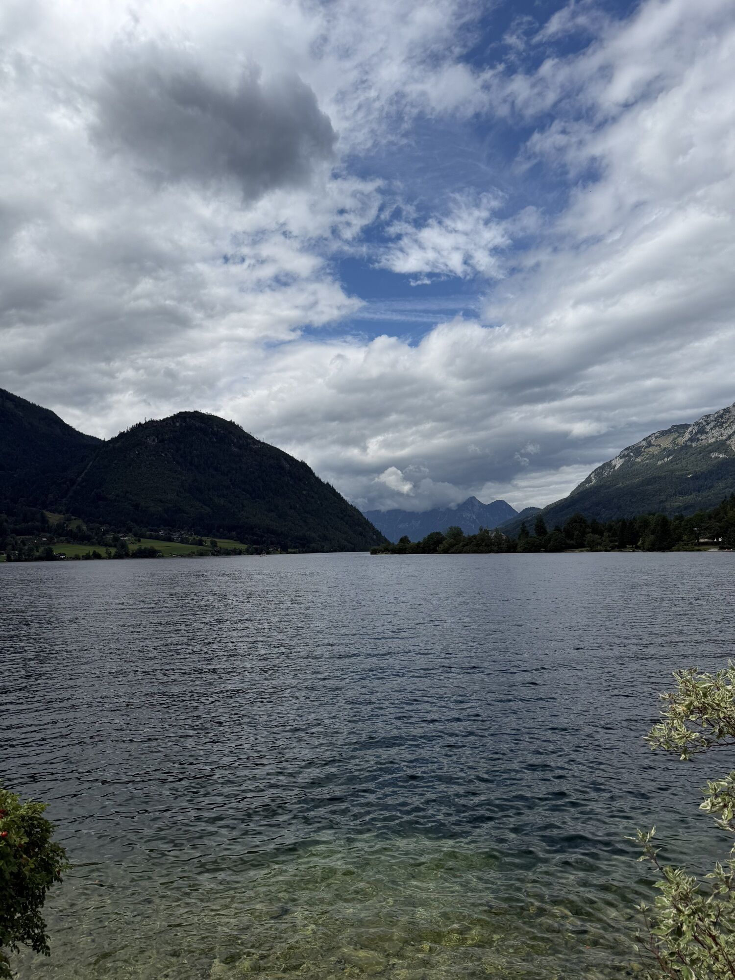
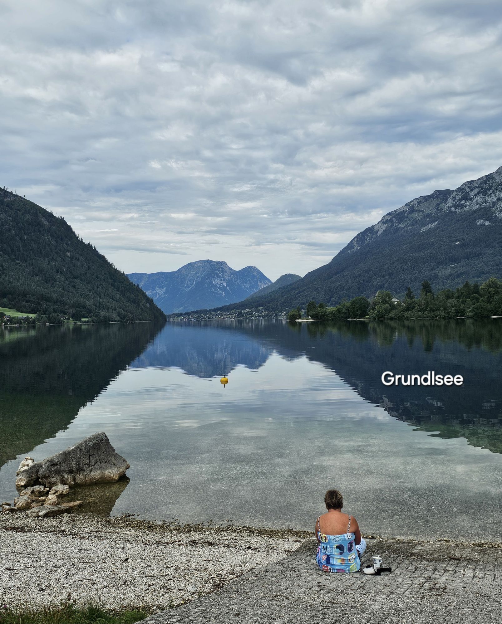
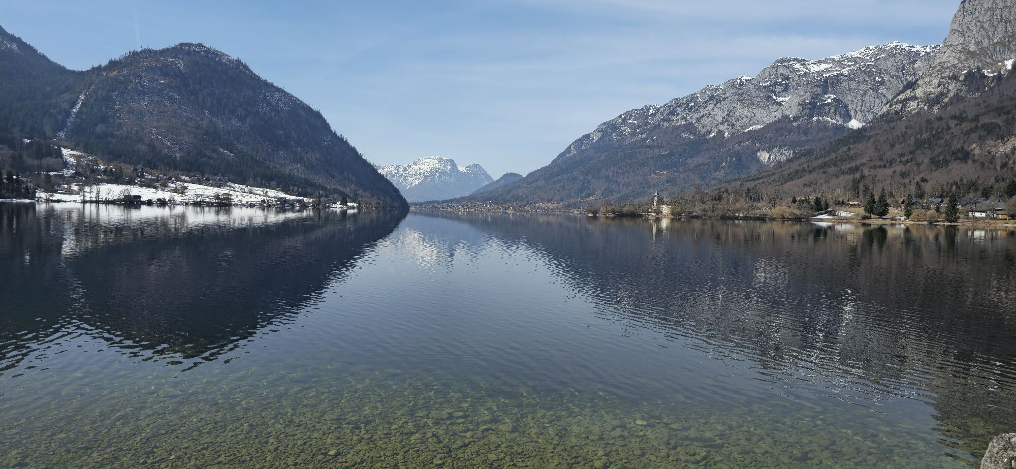
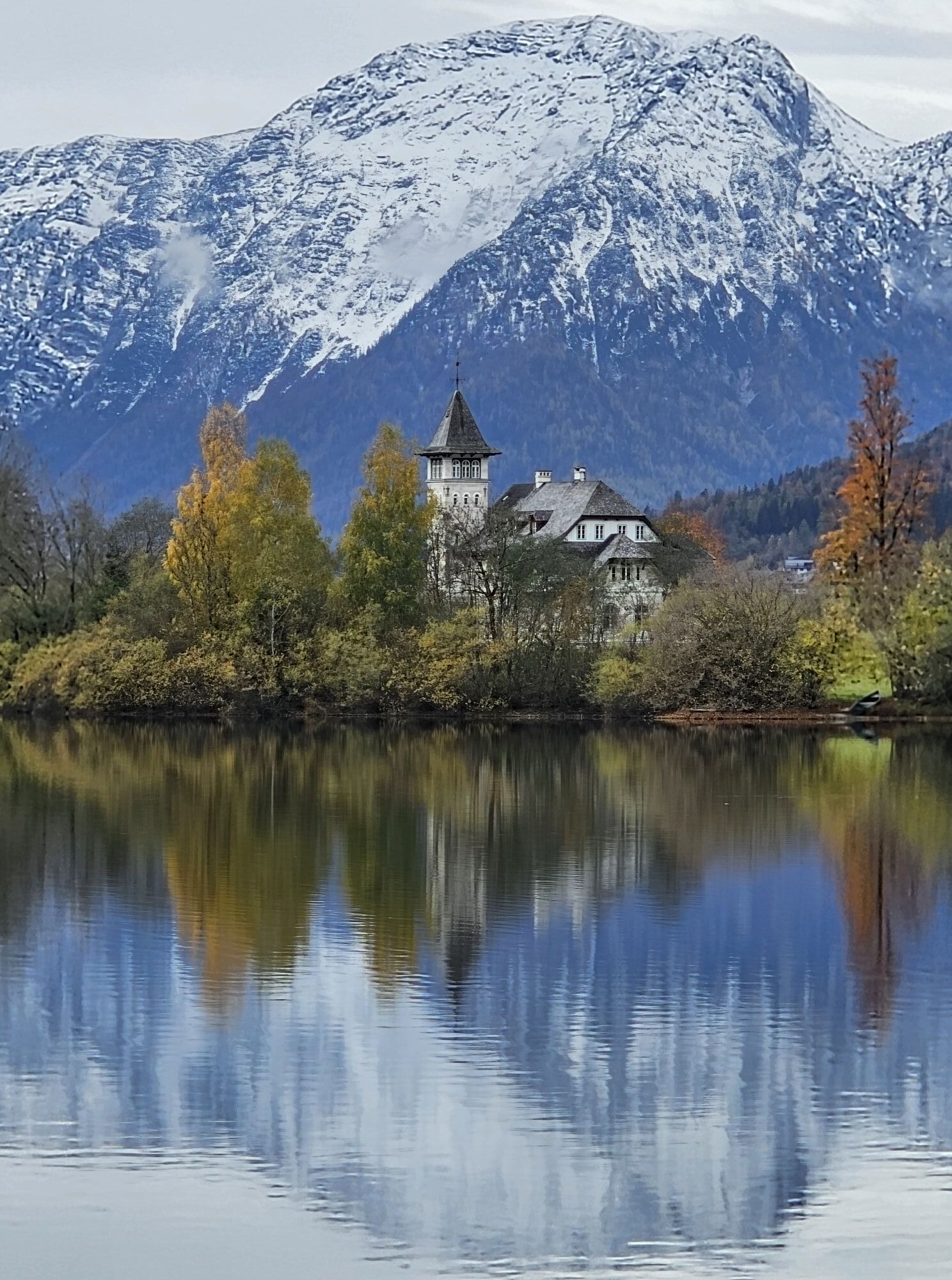
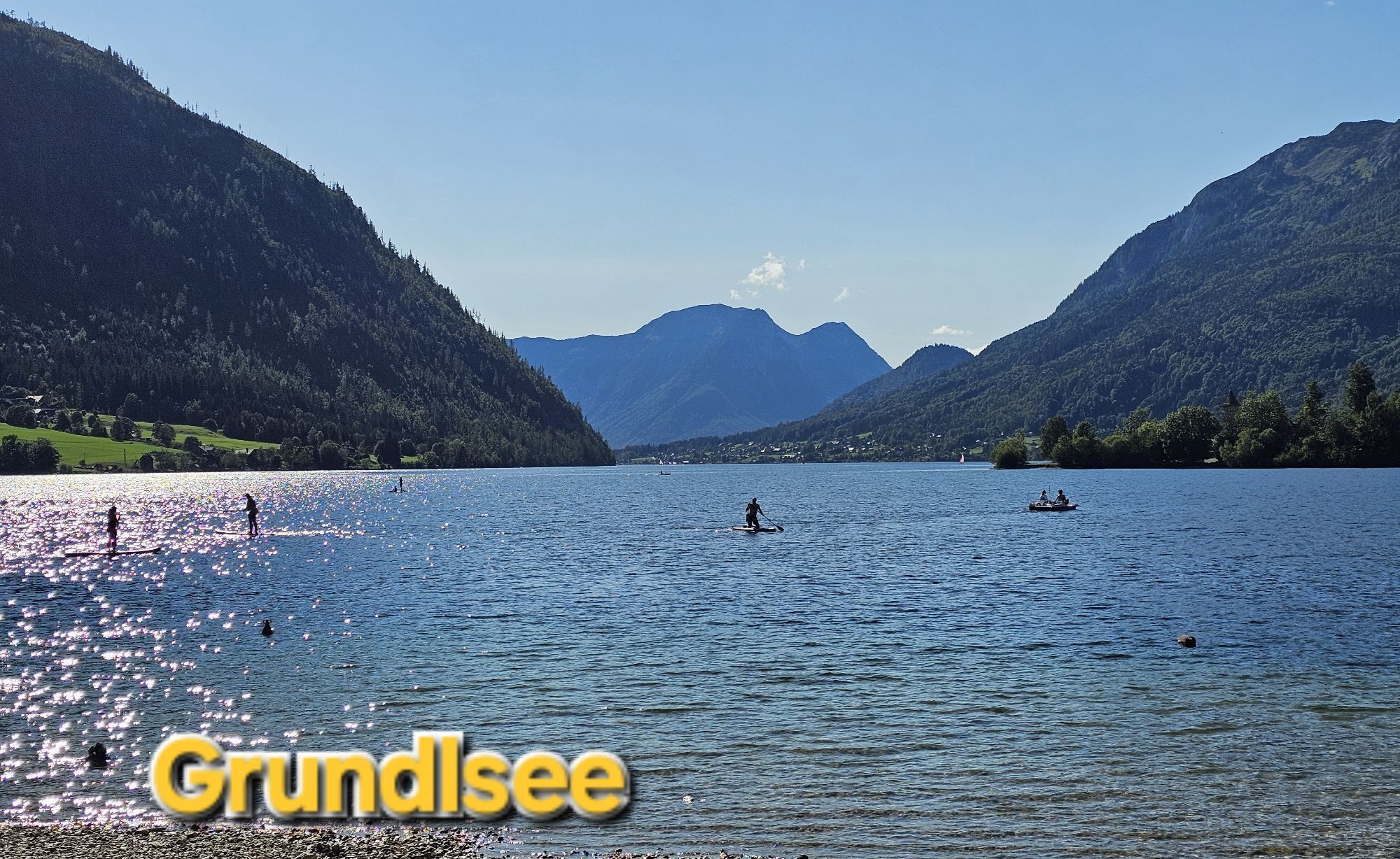
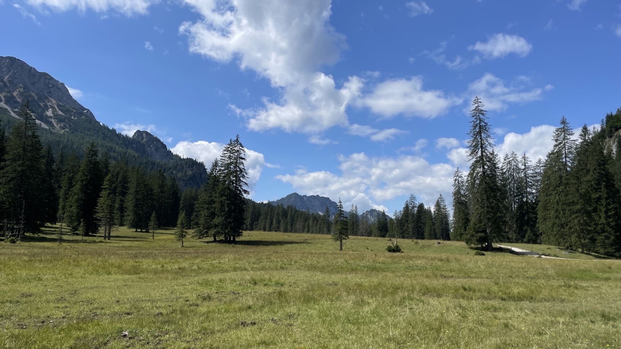
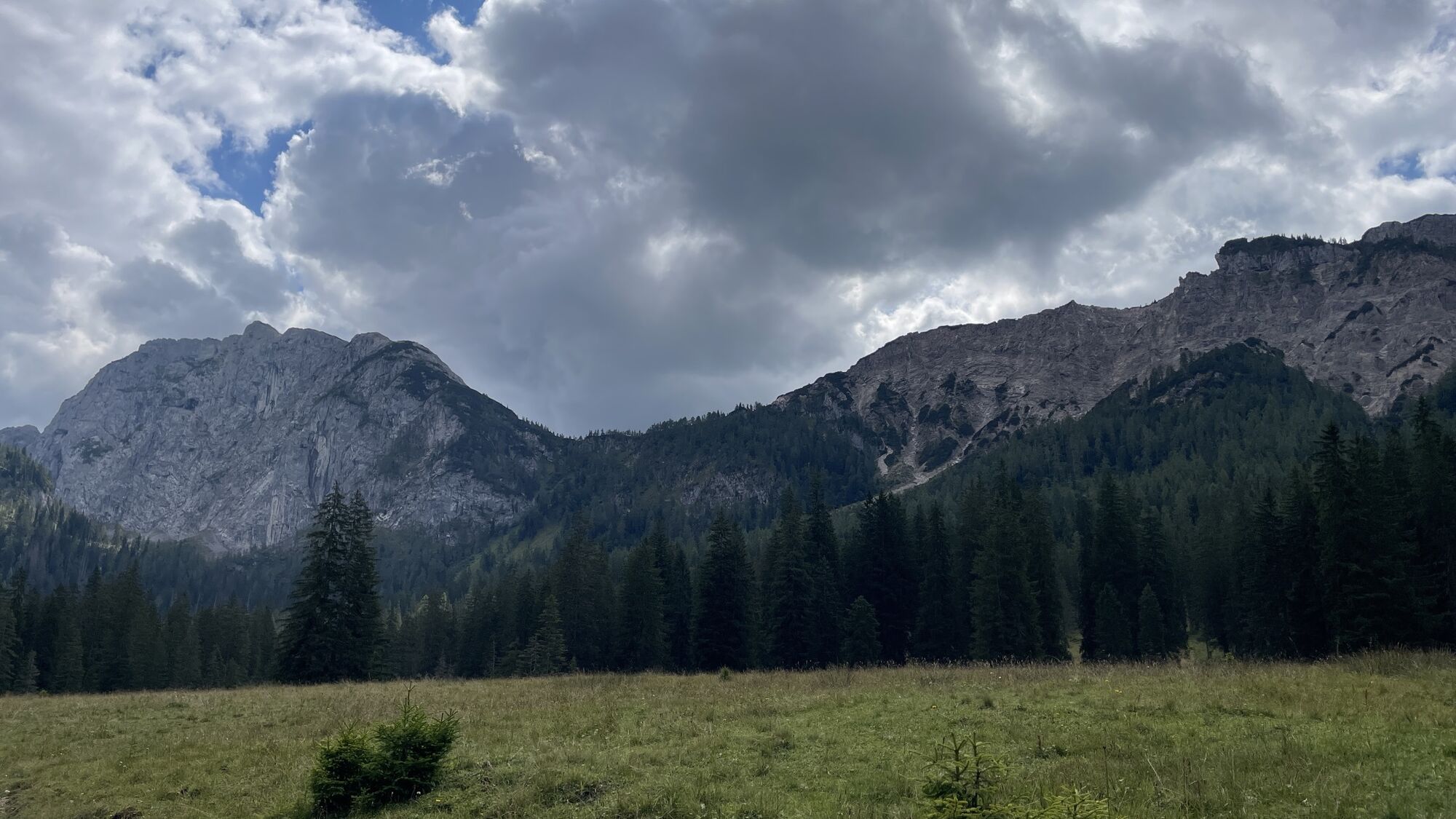
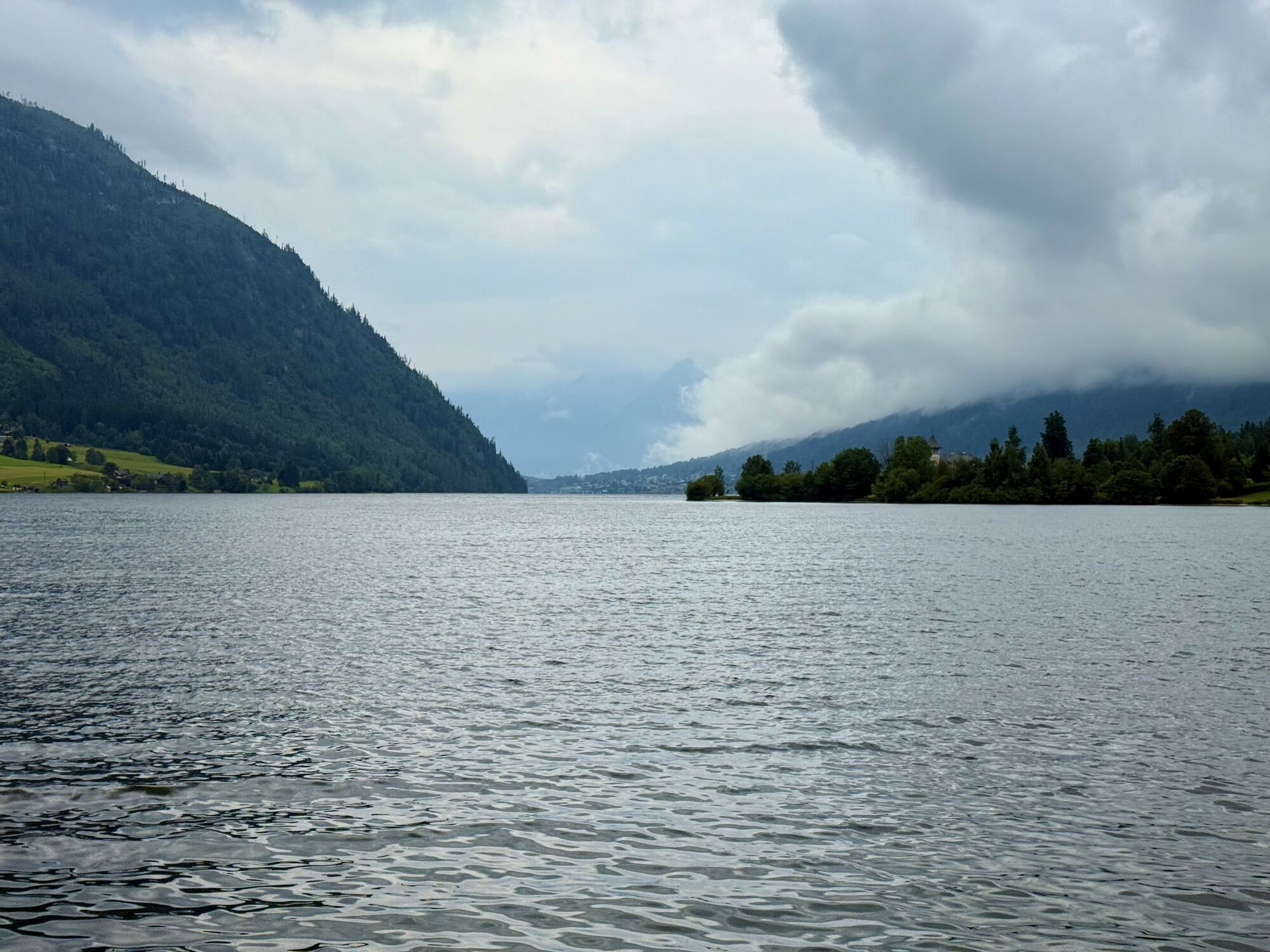
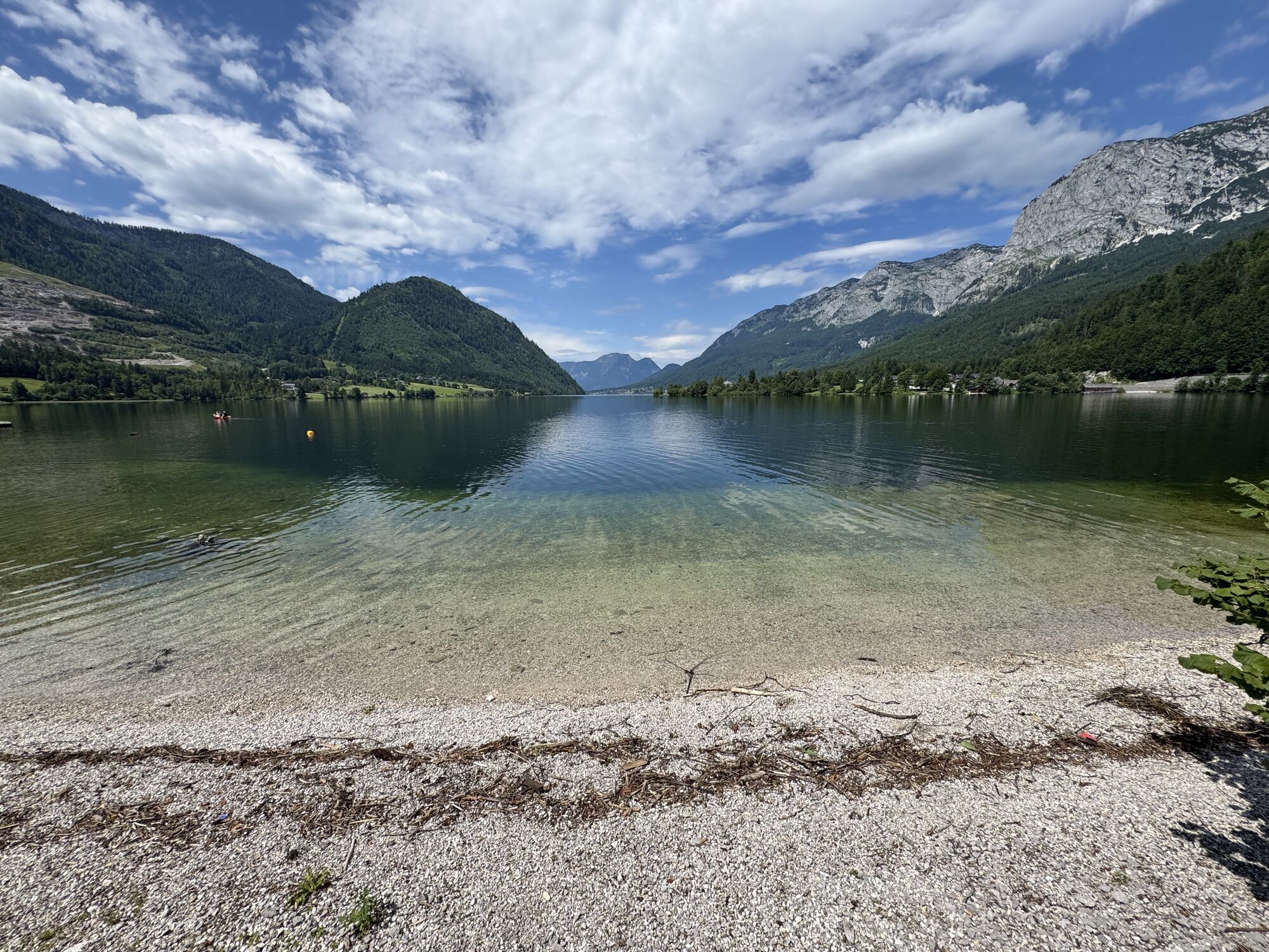
When crossing from the Tauplitzalm to the Grundlsee, you walk through lonely forest valleys and hidden alpine pastures at the foot of the Totes Gebirge. Only those who look north over the Großsee and the Öderntörl can guess that above lies Europe’s largest karst plateau – an approximately 80 km² large rocky desert completely without water. This is hard to imagine even at the destination: the Grundlsee, the largest body of water in Ausseerland, invites you to swim in summer.

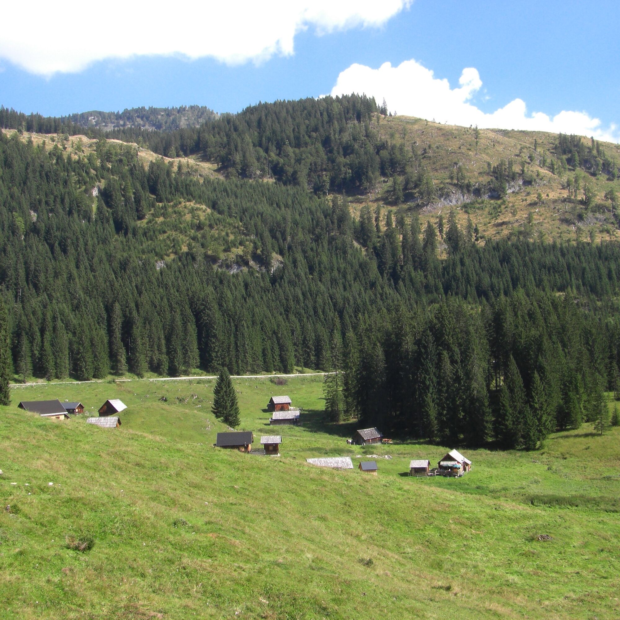

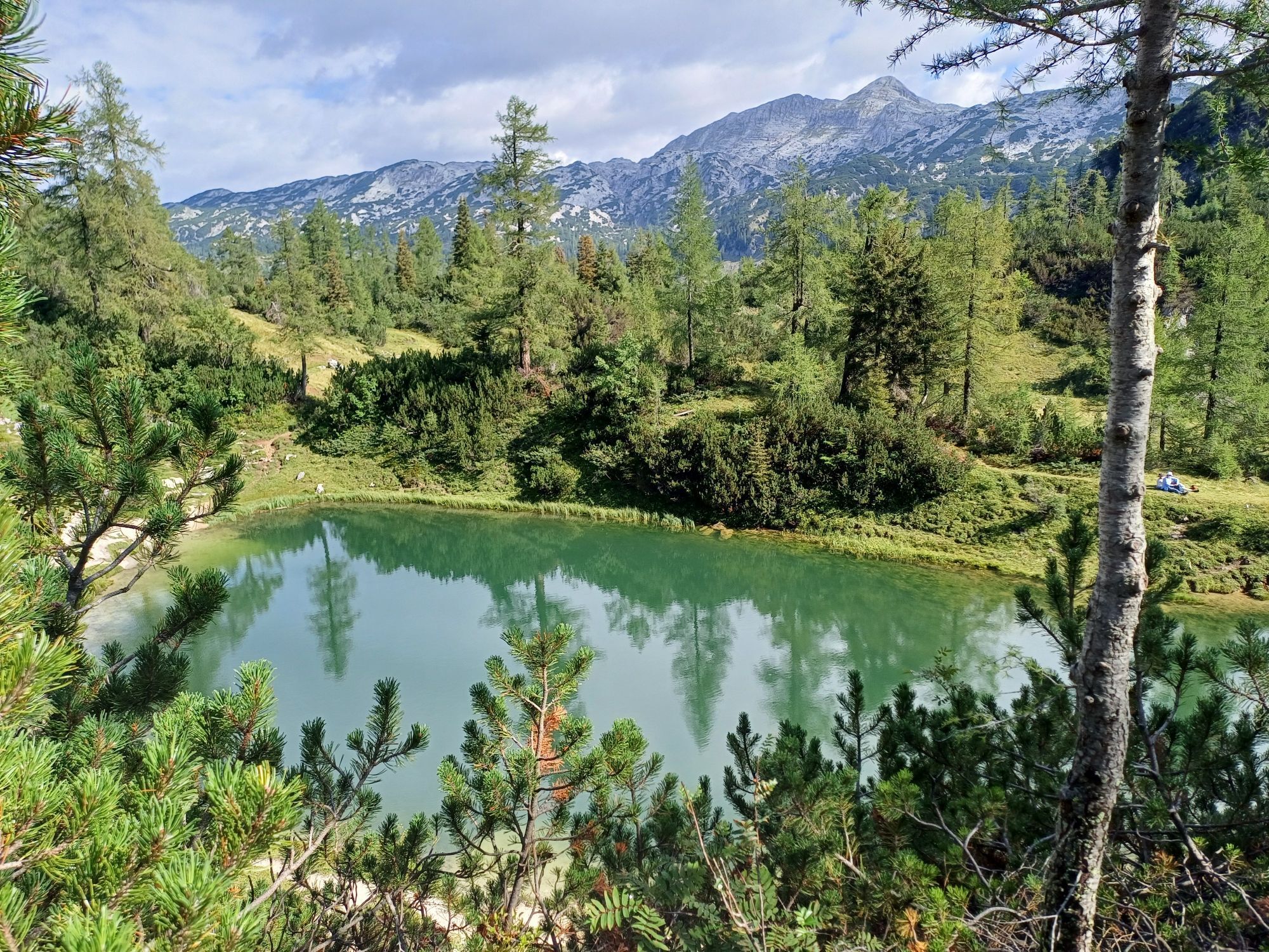
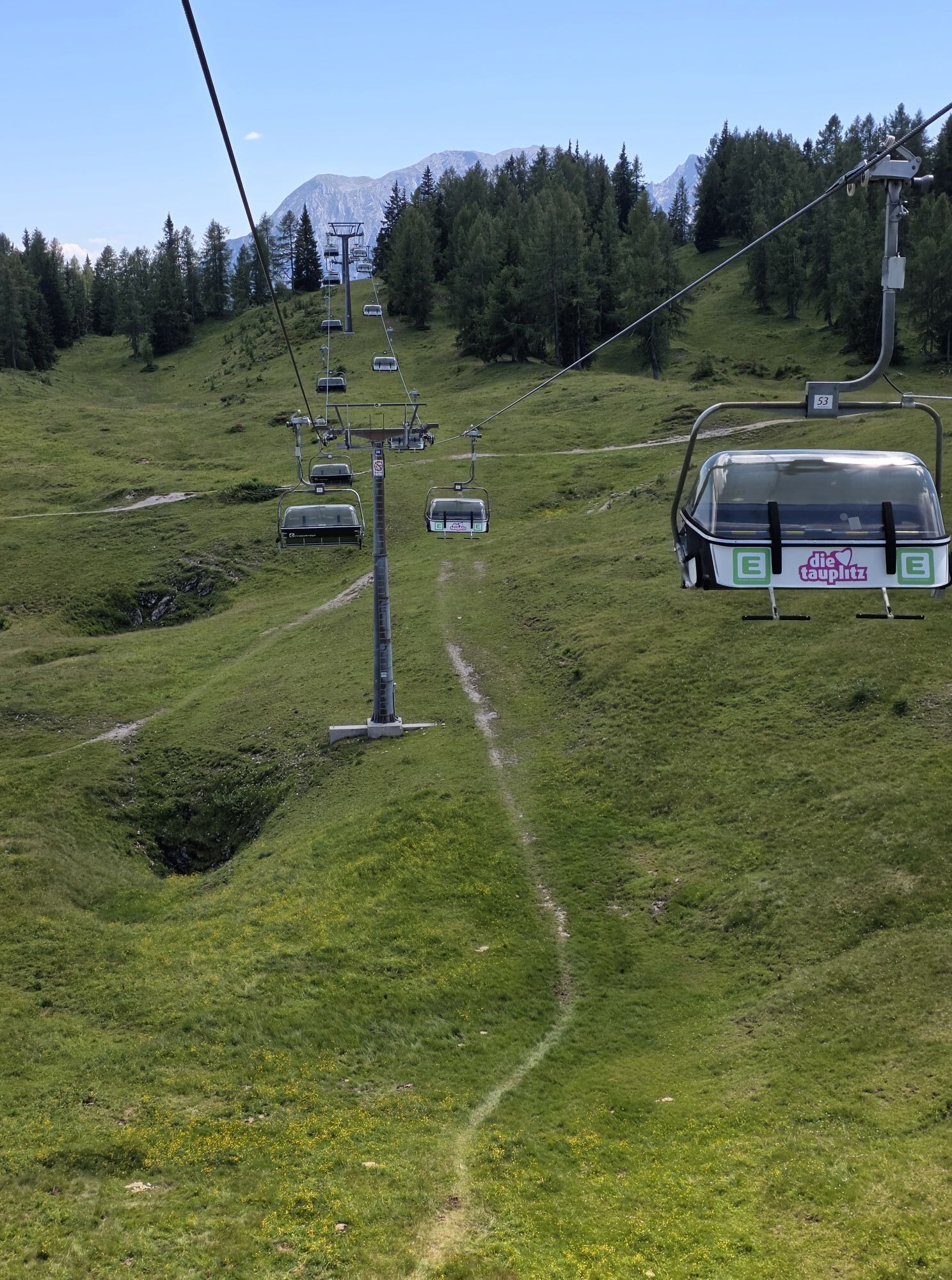
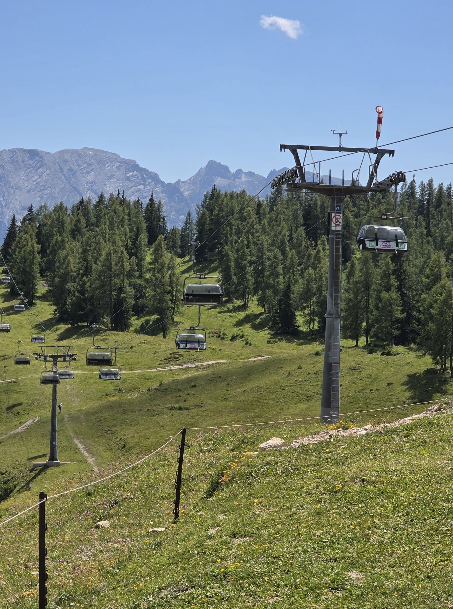
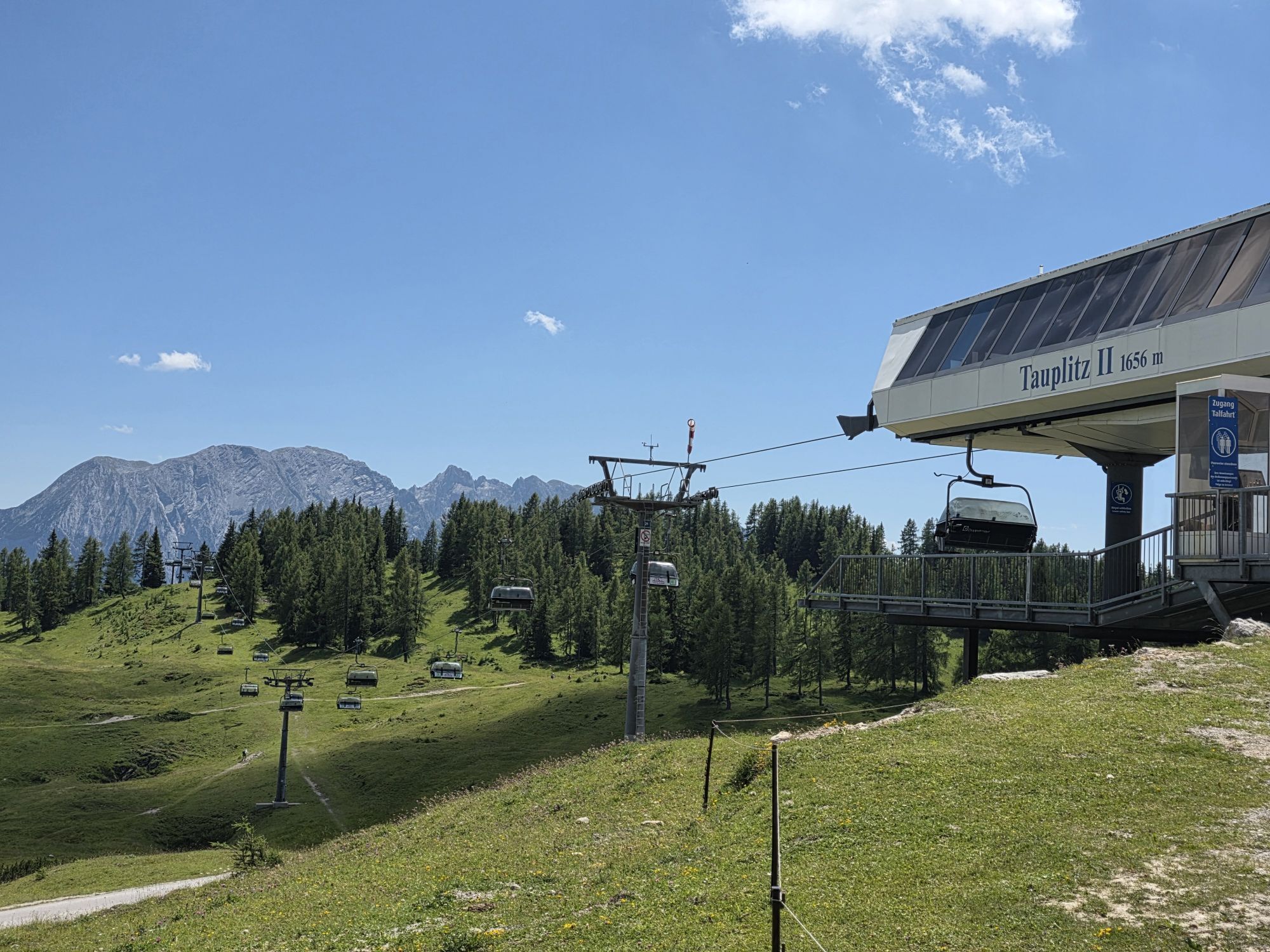
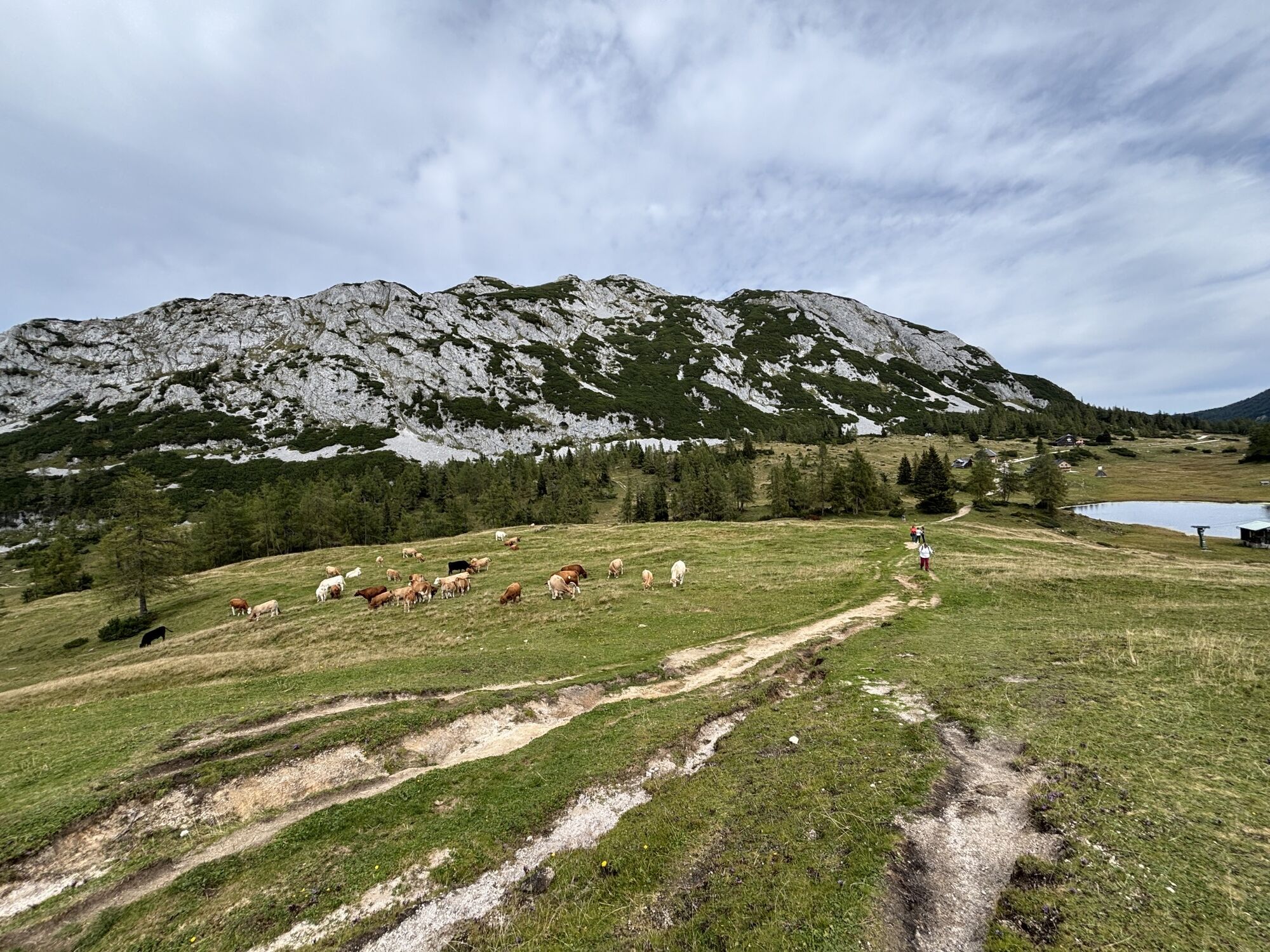
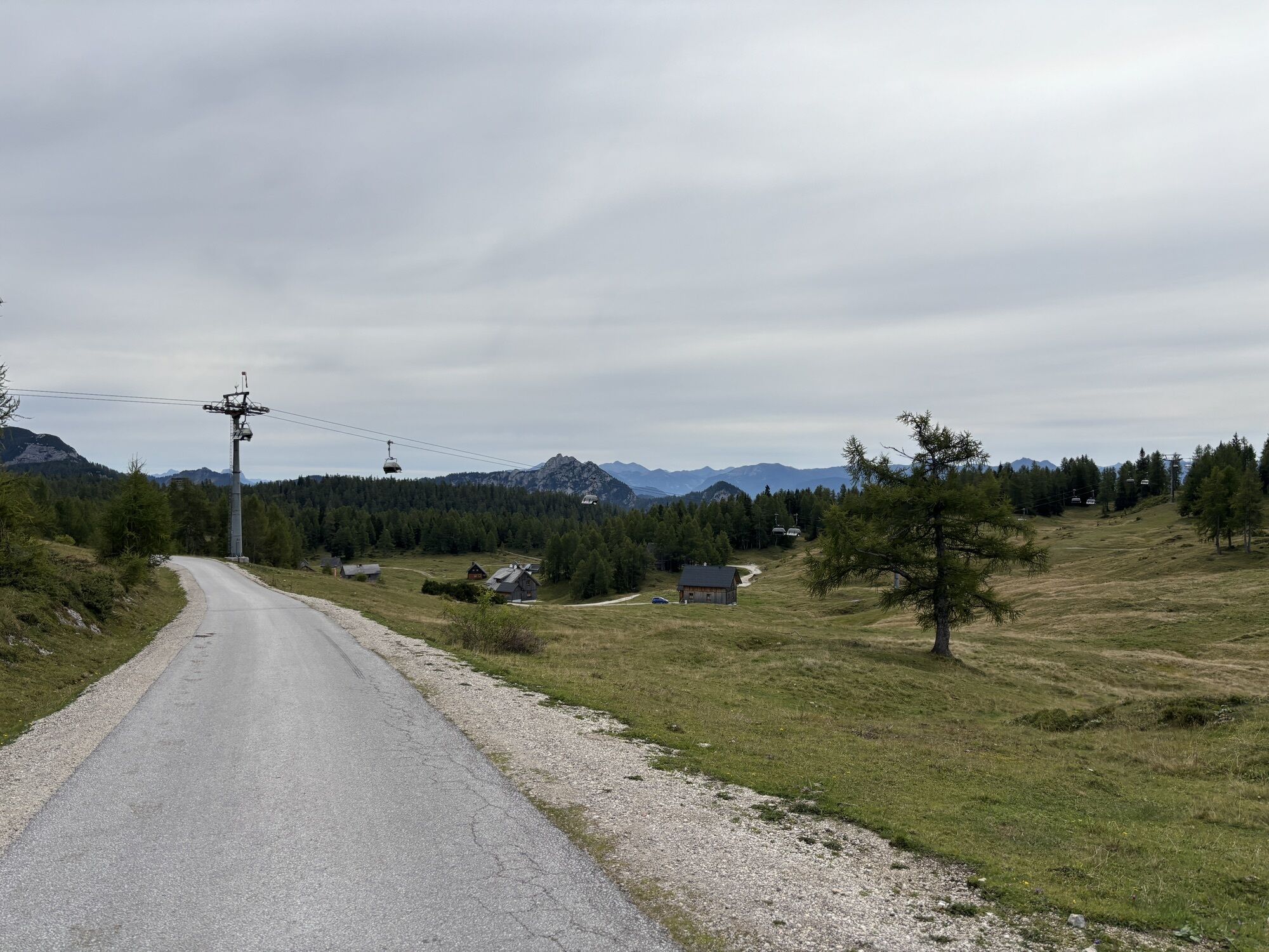
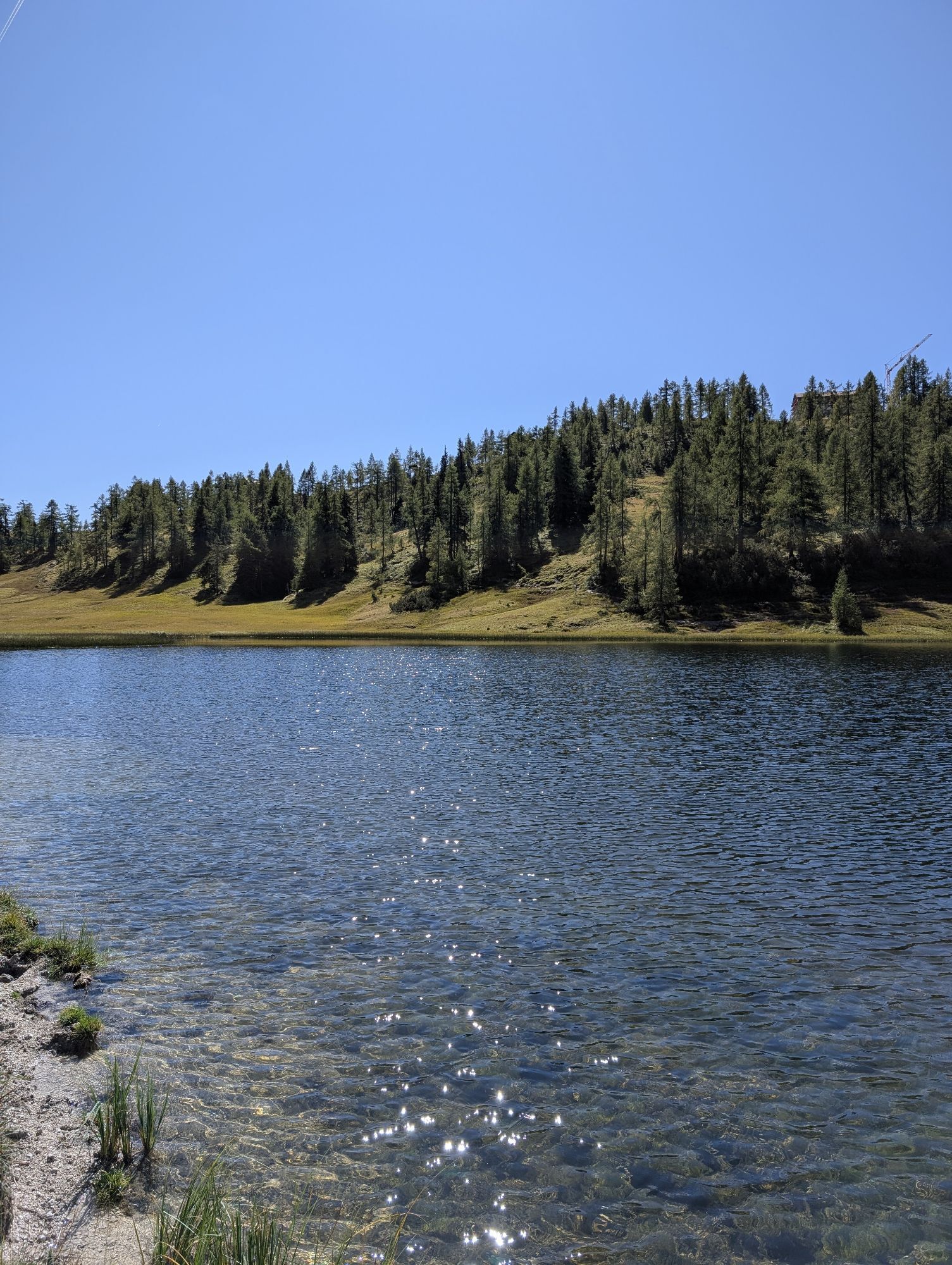
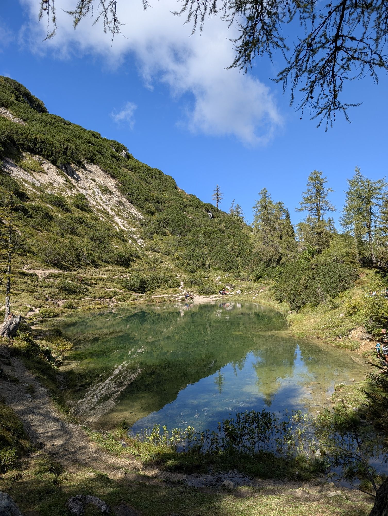
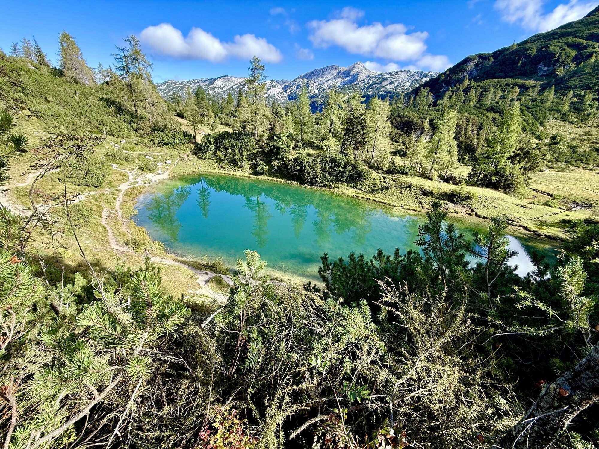
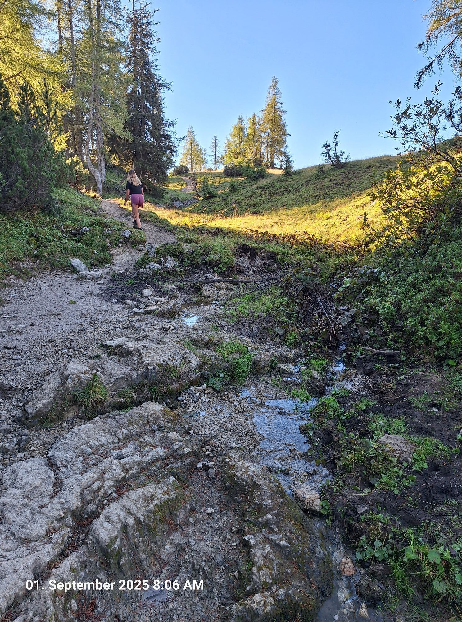
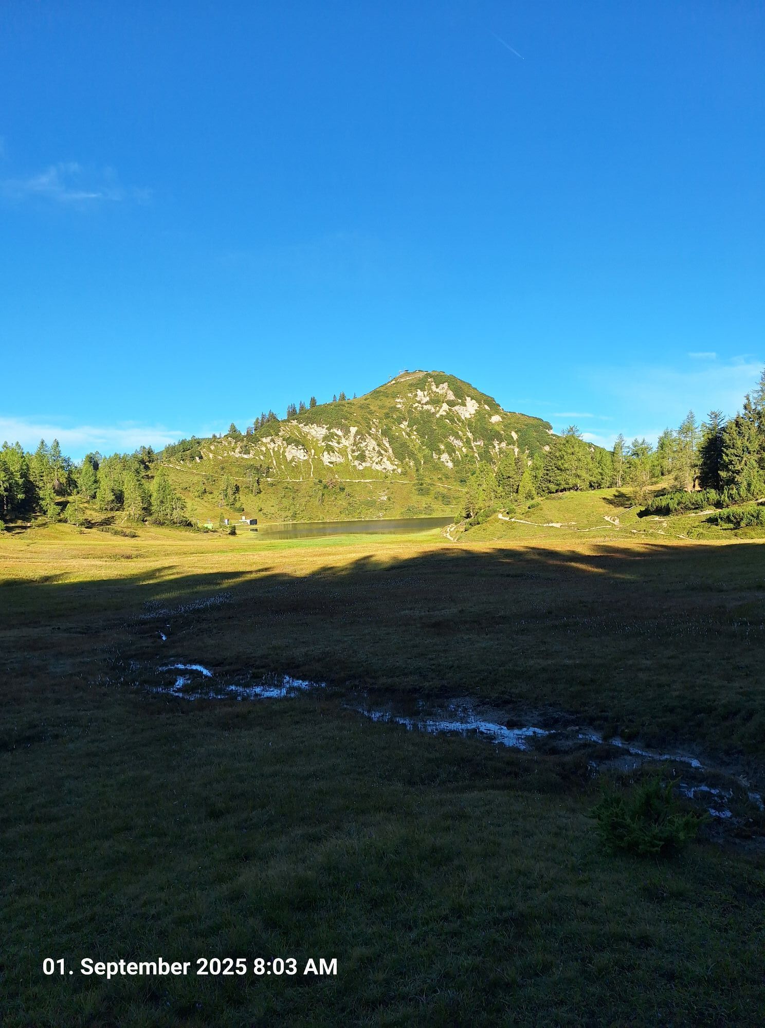
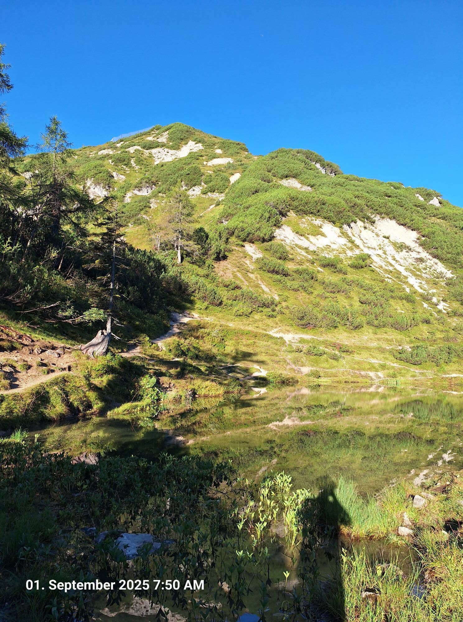
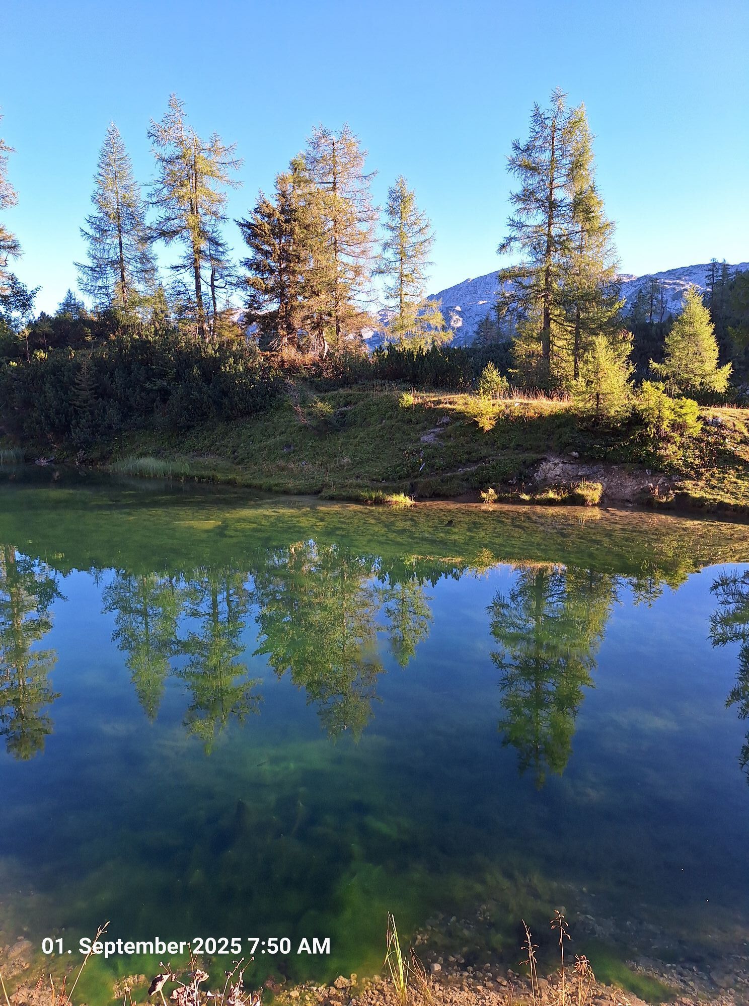
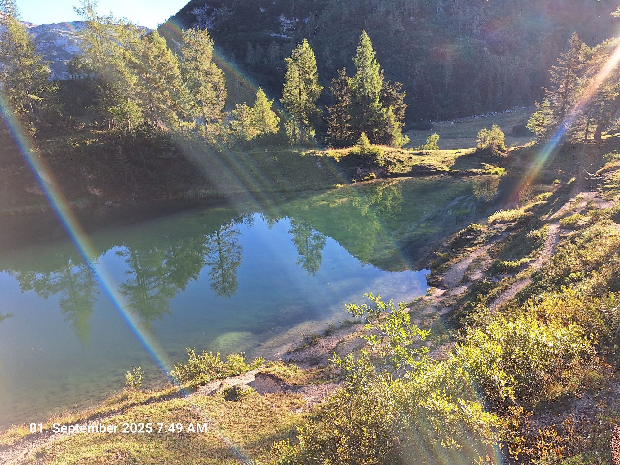
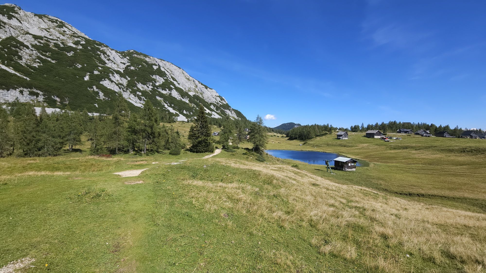
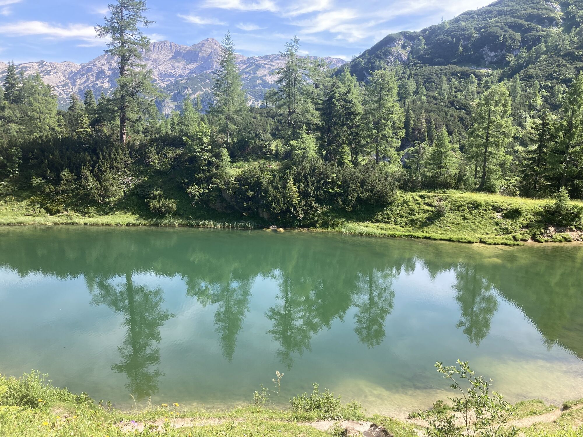
The small, already quite silted-up Tauplitzsee lies in a shallow meadow hollow in the middle of the Tauplitzalm mountain station. You can reach it from the saddle near the Linzer Tauplitzhaus via the Grazer Hütte or from the Naturfreundehaus Tauplitzalm. From its northern side, path no. 272 leads northwest to the nearby Großsee. Above its northern shore, the path climbs right to the tiny Märchensee and the nearby Öderntörl (1,588 m). Beyond, it goes in switchbacks through the forest slope next to the Krautries down to the scree fields below the Schneiderkogel. Between larches and dwarf pines, you reach the lonely Ödernalm (1,225 m) on the right, located in a high valley at the foot of the Traweng. In summer, the Steinbrecherhütte there invites you to stop for refreshments (Wed – Sun).
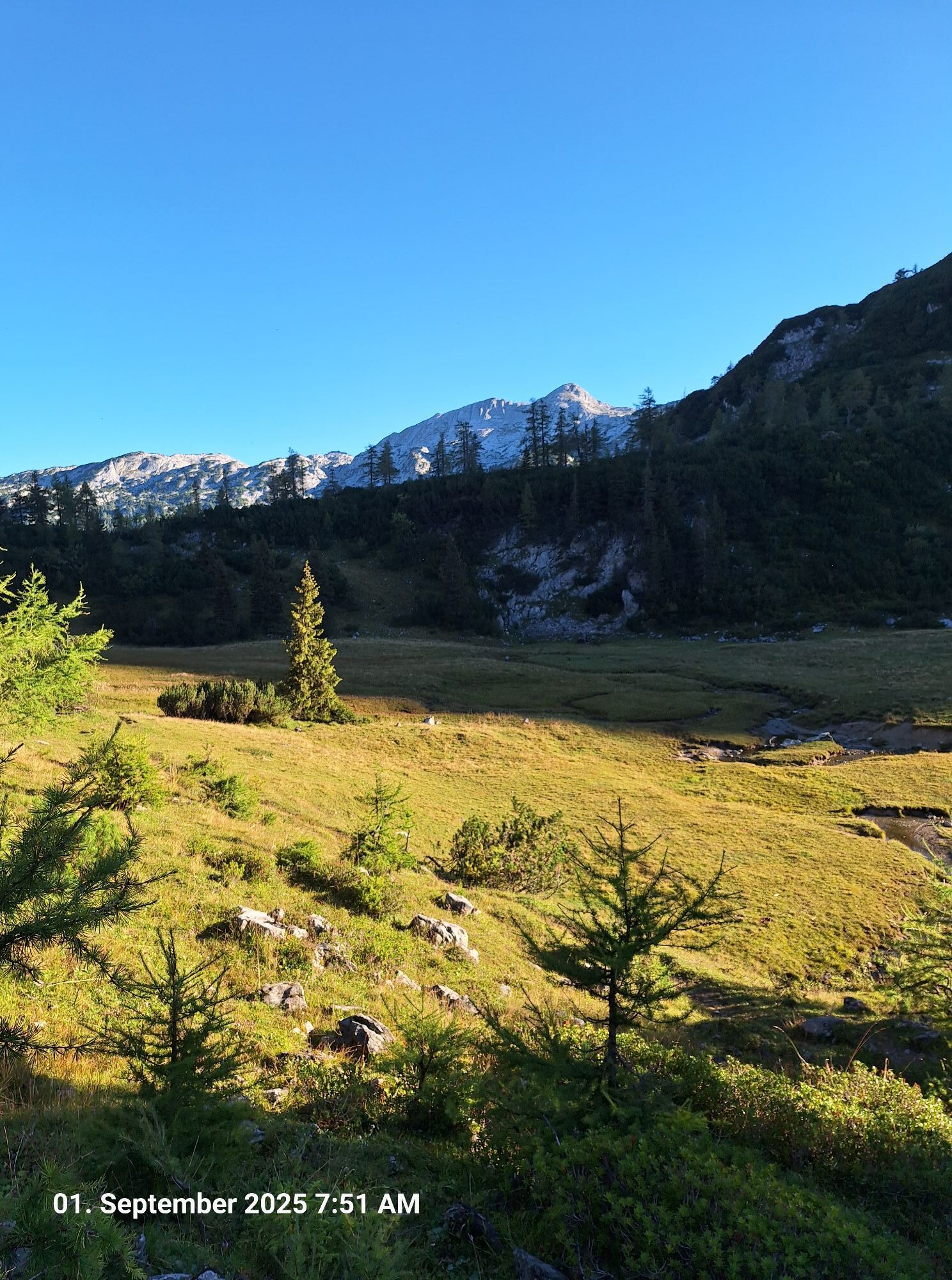
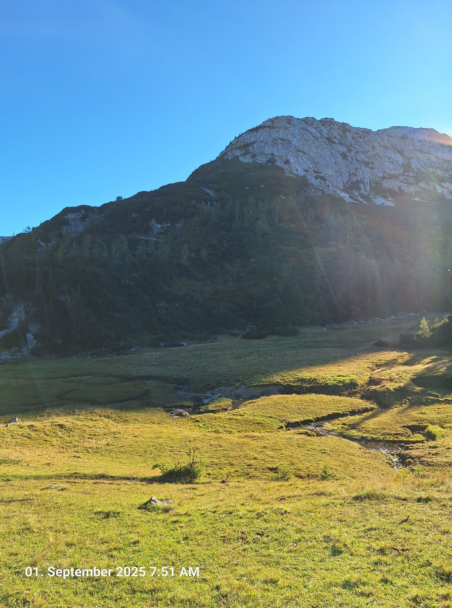
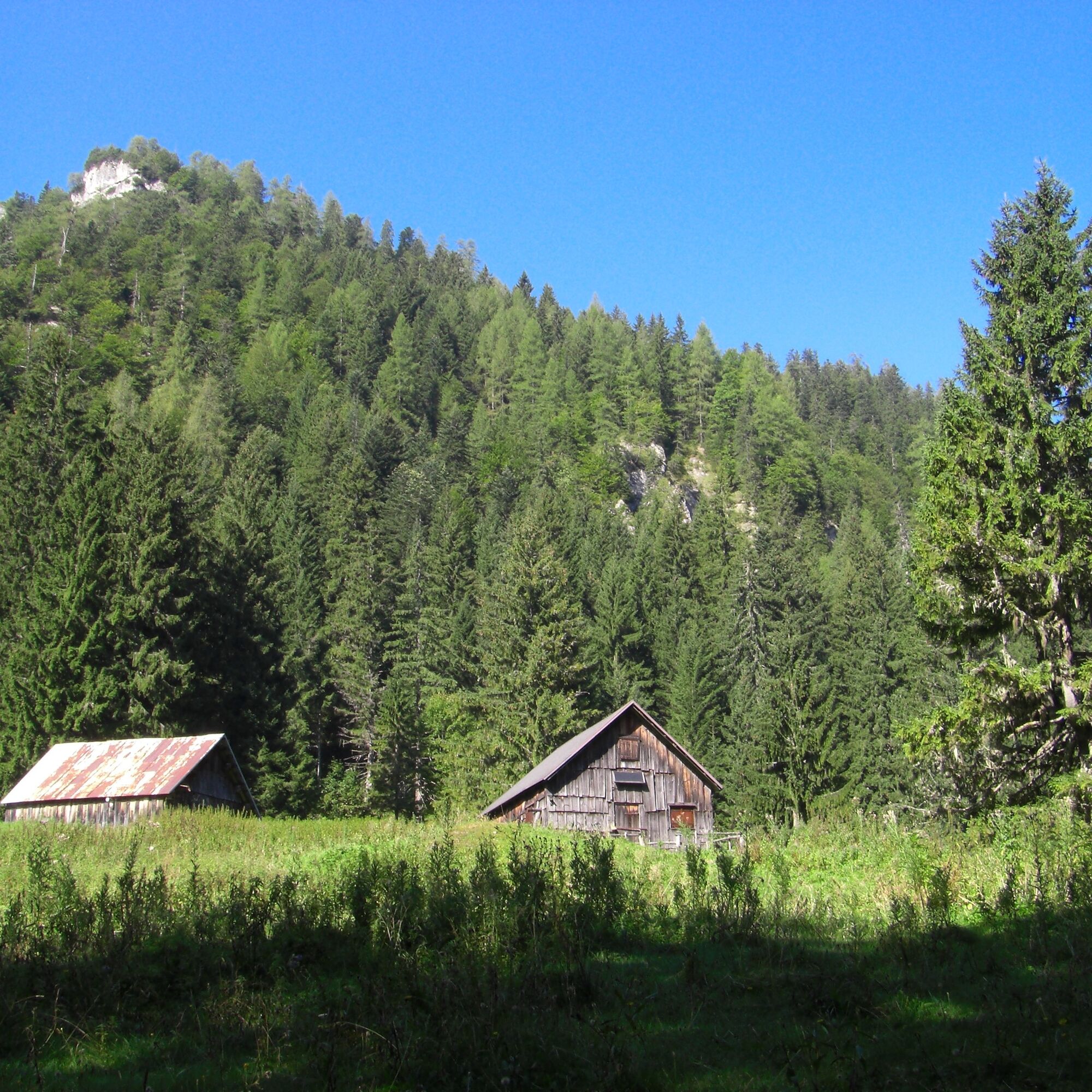
Now you hike on the gravel road through the Öderntal outwards. Above the Flecklmoos the avalanche stone (Lowean, 1,965 m) rises on the left, while the central plateau of the Totes Gebirge slopes on the right. After about 3.5 km, you reach the small wooden hut called Rechenplatz (1,008 m), where the Öderntal widens a bit. 1:45 h
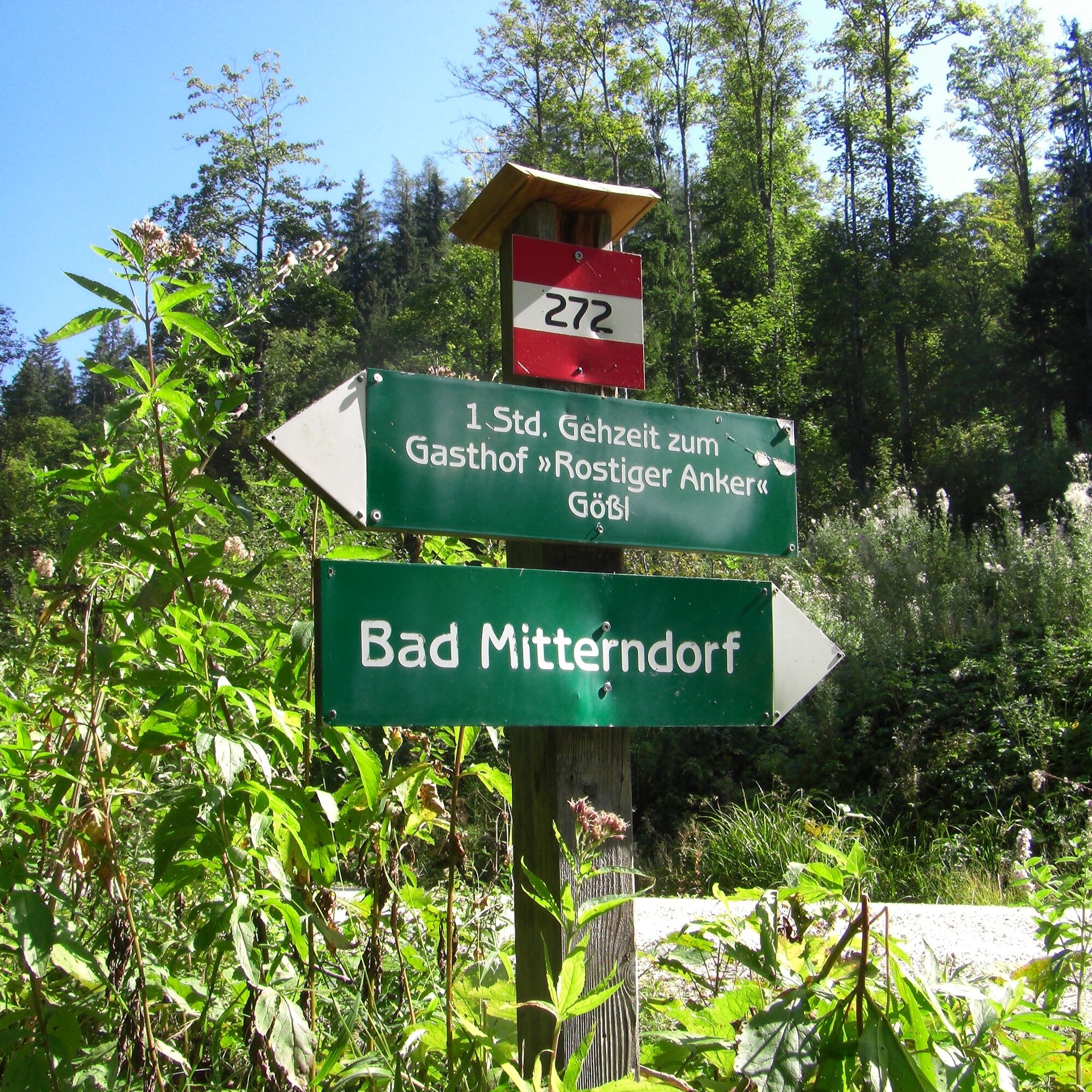
At the junction there, you stay left in the valley. After 250 m, you reach another fork, where you turn right (signpost “Schneckenalm, Gößl”, no. 272). From the end of the gently ascending forest road after 1 km, turn right onto the signed path to the Schneckenalm (1,152 m).
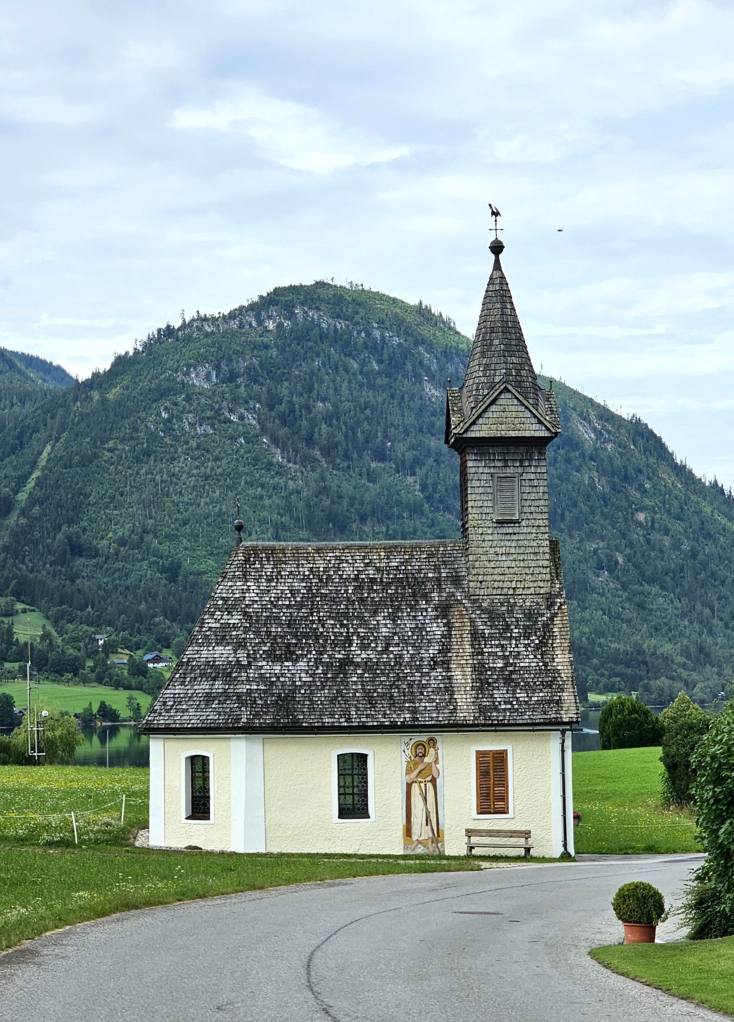
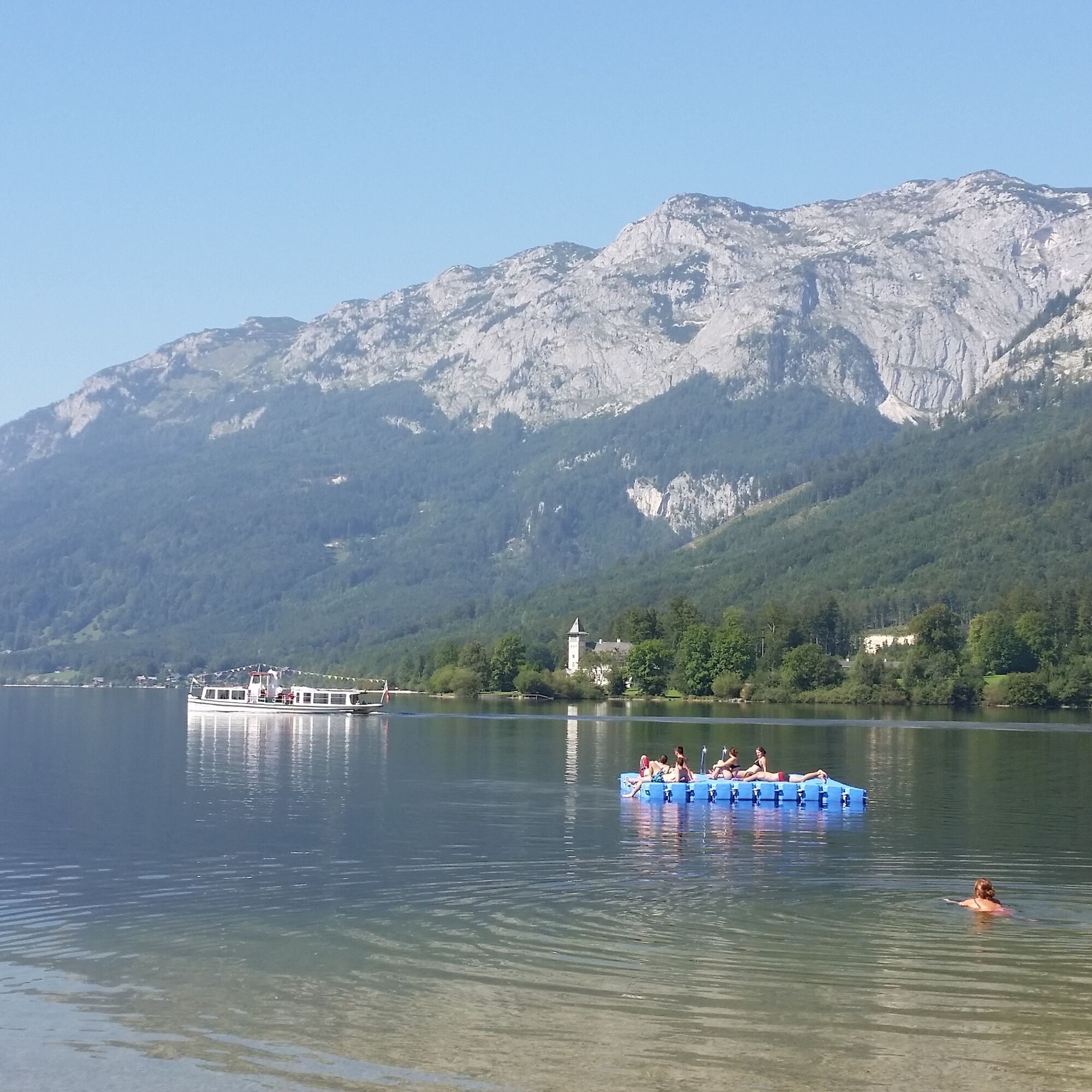
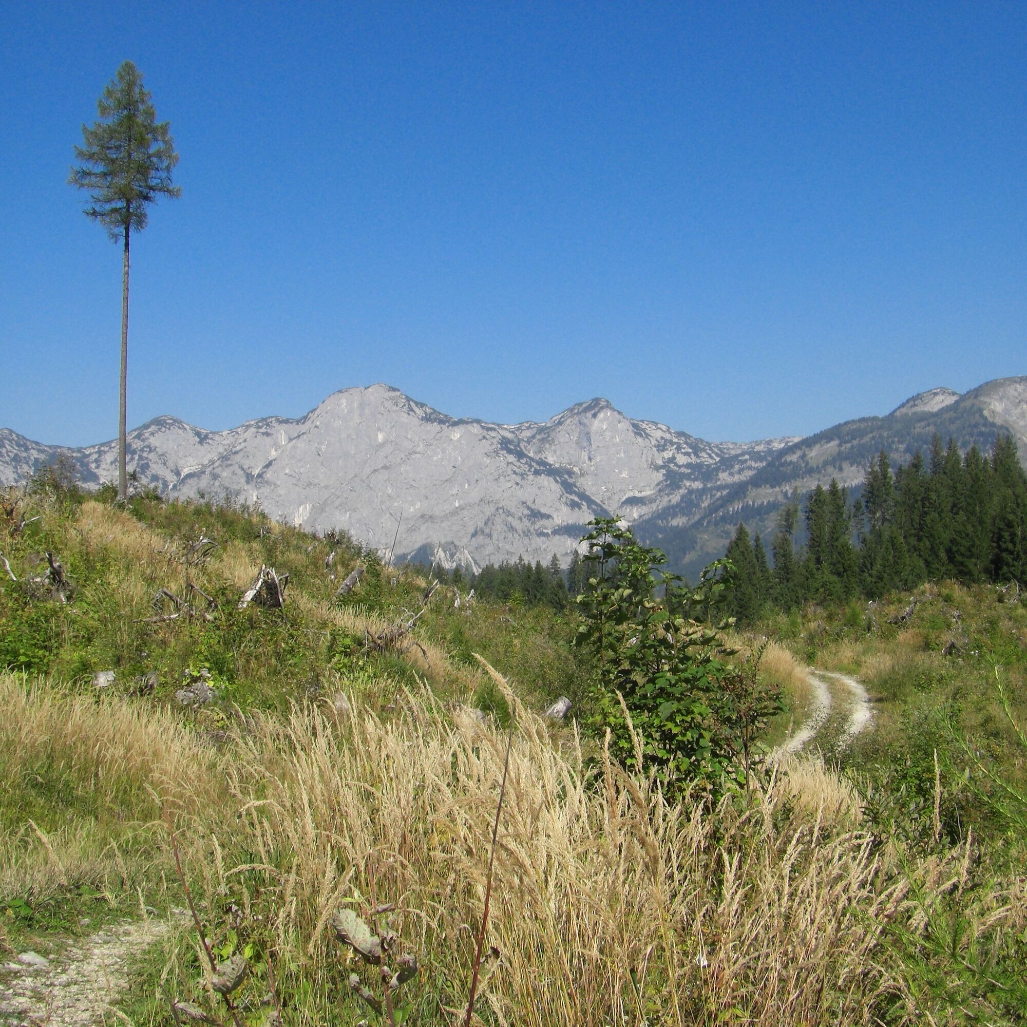
From the uppermost alpine hut, a rough track leads through the flat, treeless area “Auf dem Berg” to a crosswise forest road. On this, you walk a few steps to the right, then follow an old track into the forest to the left (observe markings and cairns). Soon you descend until the path leads after a hut into a forest road. Shortly right and then left on a path further downhill to the Gößlwiesen. From there you come down a road to the Grundlsee and then to the right – past a bathing meadow and the Rostiger Anker guesthouse – to Gößl (720 m). Additional inns and accommodations can be found to the right in the village. 2:45 h
For all stages, you need hiking or mountain boots with profiled rubber soles as well as wind- and waterproof clothing.
Reserve clothes to change and a small first aid kit should also be in your backpack. How much food you pack depends on the number of places to stop. In any case, you should take enough drinks with you. Telescopic poles are especially helpful when going downhill.
In alpine terrain, be aware of the danger from falling rocks.
Until early summer, you may encounter steep snowfields or firn runs there – especially in icy conditions there is acute risk of falling and therefore danger to life!
Due to storm damage, forestry work or construction measures, individual sections of the path may be temporarily difficult or impassable.
Cows in the alpine pasture are often curious. Due to mother cow husbandry, they develop a strong instinct to protect their calves. So move calmly in cow pastures, keep at least 20 m distance from the animals and absolutely do not pet calves! In case of threatening behavior (scratching, stamping), slowly walk backwards away (do not turn your back). Dogs must be on a leash; they must not bark at or chase cows. In case of an attack, you must definitely release the dogs from the leash.
With kind courtesy of the text by KOMPASS publisher and Wolfgang Heitzmann.
Further information at trail.salzkammergut.at
Note: Bus connection (line 956) from Bad Aussee to Gößl.
Získajte prehľad
Vždy naživo na mieste s viac ako 9 500 webovými kamerami. bergfex Ako používateľ Pro si teraz môžete pozrieť príslušné webové kamery pre mnohé zájazdy v aplikácii zájazdy z. Môžete si tak priamo prezerať aktuálne podmienky.
Obľúbené výlety v okolí
-
5,0
RundWanderWelt Hinterstoder - Polsterlucken-Runde
Turistika 3,94 km -
4,5
Altaussee: Seeumrundung
Horská turistika 7,58 km -
4,5
Loser: Loserfenster und Losergipfel
strednáTuristika 2,48 km -
4,8
Gindlhorn & Marterlweg ab Pürgg
strednáTematická trasa 6,74 km -
4,8
6-Seen-Wanderung auf der Tauplitzalm
strednáTrailrunning 14,8 km -
4,2
Dolomitensteig
ťažkéTuristika 9,29 km -
4,9
4 Gipfel - 1 See am Loser
ťažkéTrailrunning 8,81 km -
5,0
Gößl - Pühringerhütte - Rotgschirr
strednáHorská turistika 24,6 km -
4,1
Hinterstoder - Großer Priel
ťažkéTuristika 10,7 km -
4,5
Rundweg Tauplitz
strednáTuristika 7,44 km

Turistika a stopovanie


Nenechajte si ujsť ponuky a inšpiráciu na ďalšiu dovolenku
Vaša e-mailová adresa bol pridaný do poštového zoznamu.





