







Bauleiteck
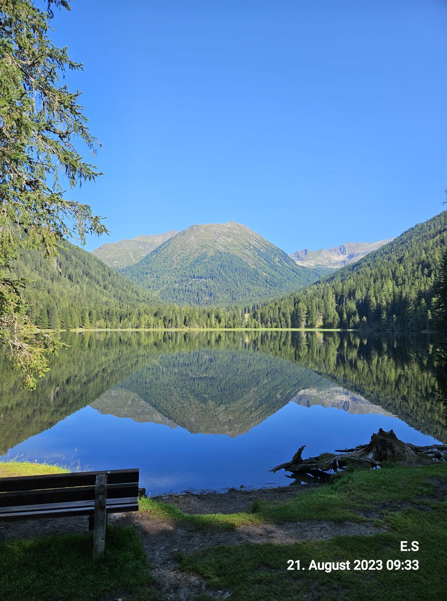

Ascent: By valley bus or private car coming from Krakauebene or Krakaudorf in the district of Hintermühlen in the direction of Etrachsee (N) turn off the main road and follow the road, which is open...
Ascent:
By valley bus or private car coming from Krakauebene or Krakaudorf in the district of Hintermühlen in the direction of Etrachsee (N) turn off the main road and follow the road, which is open in the summer months, past St. Ulrich's Church to the GH Etrachsee (parking).
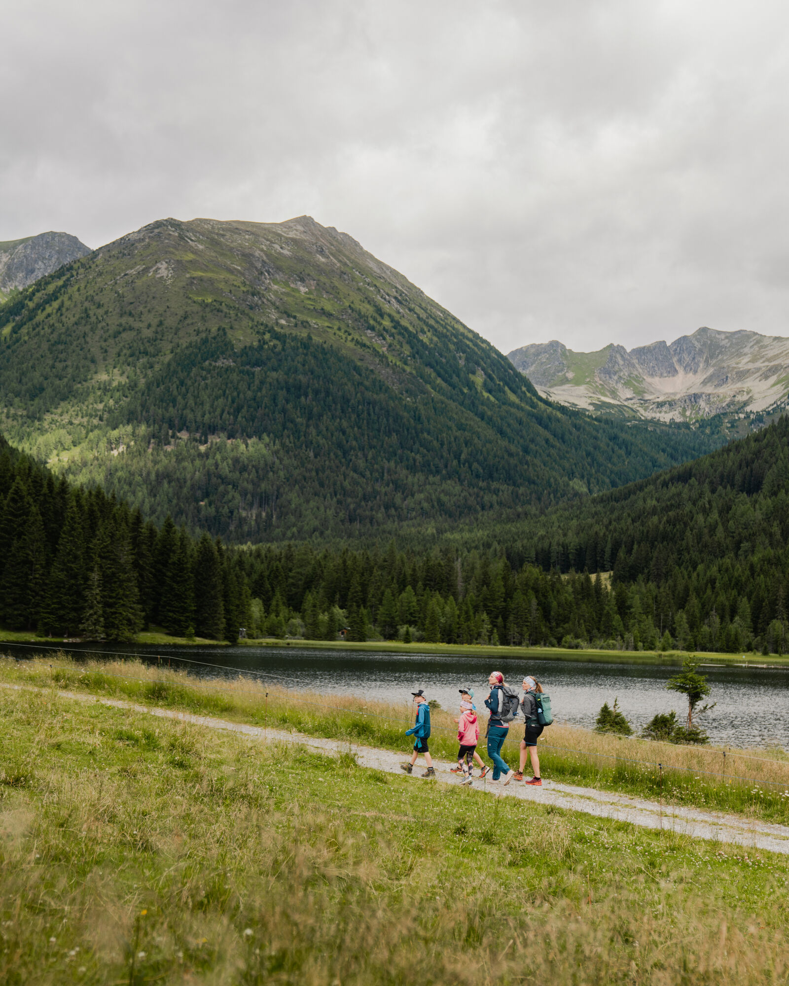
From the GH Etrachsee on the forest road on the eastern (right) lakeshore to the N to the Moaralm and further to the fork
Hubenbauertörl/Rudolf Schoberhütte.
Head N (right) towards Grafenalm, follow the slightly ascending forest road to the fork in the footpath to Rudolf Schoberhütte.
Slightly ascending follow the marked path 794 in direction N until it meets WWW02, coming from Hubenbauertörl.
Continue on the now slightly ascending trail through sparse high forest to the Rudolf Schober hut, 1,667m.
Past the Rudolf Schober hut to the fork Schimpelscharte trail no. 702 we follow trail no. 794 to Bauleiteck through the dense larch forest.
Past the turnoff to the Wildenkarsee we go steadily ascending towards the
summit of Bauleiteck where we ascend the steep flank towards the east and continue along the ridge to the summit of Bauleiteck (2424m).
Descent:
As ascent


Trout station Etrachsee, Karlhütte, Rudolf-Schober-Hütte
Áno
Áno
Good shoes, enough to drink
From Vienna/Graz/Linz via the Murtal expressway S36 to Judenburg, the federal road B96 to Scheifling, the B96 further to Murau and Ranten. In Seebach either turn off in the direction of Krakaudorf/Krakauhintermühlen or via Unter- u. Oberetrach to Krakauschatten and Krakauhintermühlen.
From Klagenfurt via the federal road B317 to Scheifling, on the B96 further to Murau and Ranten. In Seebach either turn off in the direction of Krakaudorf/Krakauhintermühlen or via Unter- u. Oberetrach to Krakauschatten and Krakauhintermühlen.


 Získajte prehľad
Vždy naživo na mieste s viac ako 9 500 webovými kamerami. bergfex Ako používateľ Pro si teraz môžete pozrieť príslušné webové kamery pre mnohé zájazdy v aplikácii zájazdy z. Môžete si tak priamo prezerať aktuálne podmienky.
Získajte prehľad
Vždy naživo na mieste s viac ako 9 500 webovými kamerami. bergfex Ako používateľ Pro si teraz môžete pozrieť príslušné webové kamery pre mnohé zájazdy v aplikácii zájazdy z. Môžete si tak priamo prezerať aktuálne podmienky.
Aktivity počas prehliadky
-

Krakau, Steiermark/Österreich
12.07.2026 – Turistika -

Bauleiteck-1. Tag
09.07.2026 – Turistika -

Krakau, Steiermark/Österreich
02.07.2026 – Snežnice -
Krakau, Steiermark/Österreich
23.06.2026 – Turistika -

Krakau, Steiermark/Österreich
04.06.2026 – Turistika -

Krakau, Steiermark/Österreich
28.06.2025 – Horská turistika -
Bauleiteck, Krakau, Steiermark
31.05.2025 – Turistika
Obľúbené výlety v okolí
-
4,7
Deneck
strednáTuristika 8,02 km -
4,8
Talkenschrein
strednáTuristika 8,48 km -
4,6
Preintalerhütte über den Alpinsteig Höll
strednáTuristika 13,8 km -
4,6
Greim-Gipfelrunde
strednáTuristika 8,30 km -
4,6
Greim
strednáTuristika 6,12 km -
3,6
Kleinsölk: Putzentalalm
svetloTuristika 11,7 km -
4,5
Gipfeltour zum Knallstein
strednáTuristika 16,4 km -
4,3
Hochwildstelle (2.747 m) - Aufstieg über Hans-Wödl-Hütte
ťažkéTuristika 16,4 km -
4,5
Seekarlsee - Karibikfeeling garantiert
strednáTematická trasa 12,3 km -
4,0
Preber summit hike
strednáTuristika 14,9 km
Turistika a stopovanie


Nenechajte si ujsť ponuky a inšpiráciu na ďalšiu dovolenku
Vaša e-mailová adresa bol pridaný do poštového zoznamu.





