







Stage 09 Luchs Trail Palfau - Lassing (main route)
Úroveň náročnosti: T3
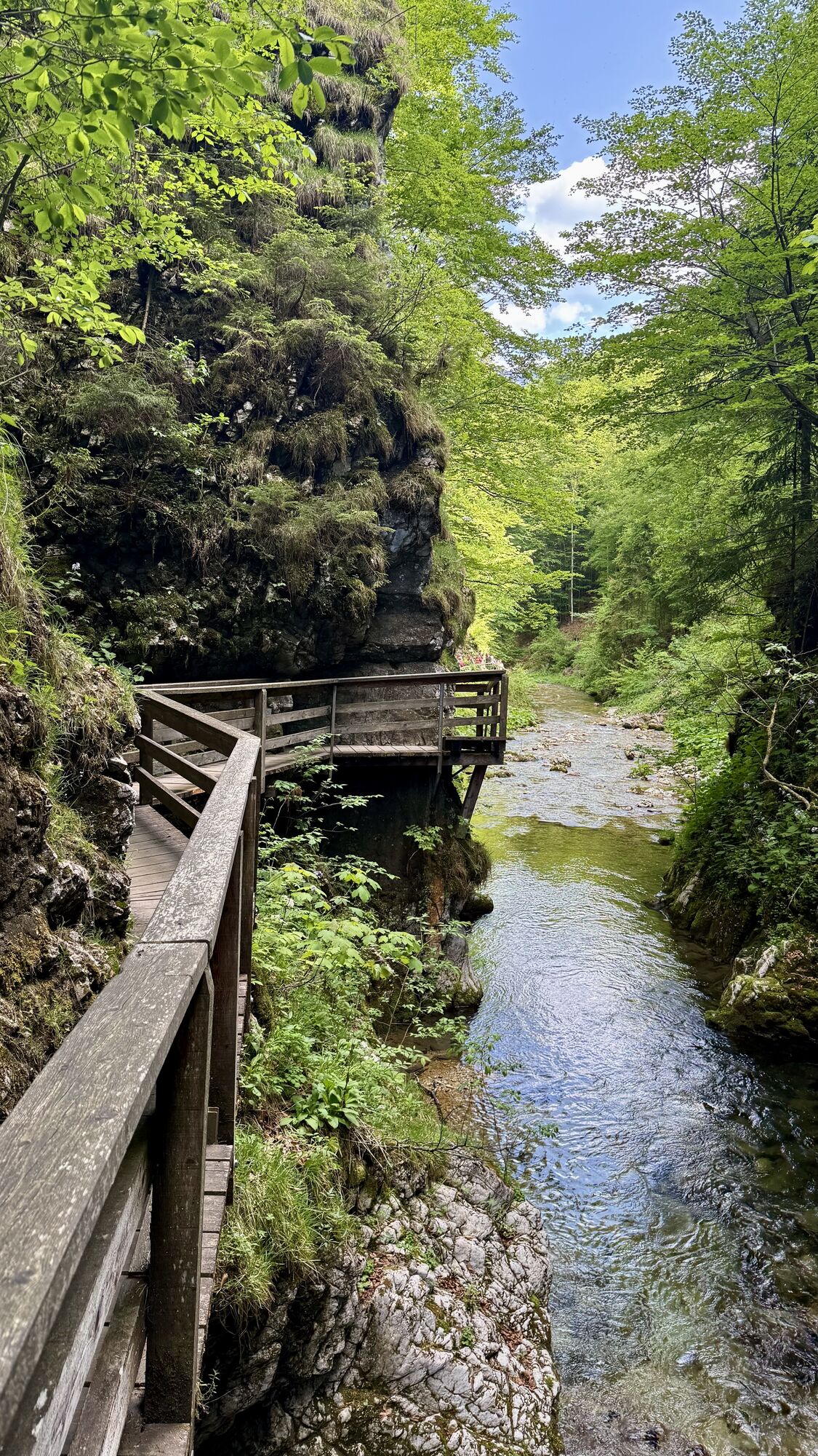
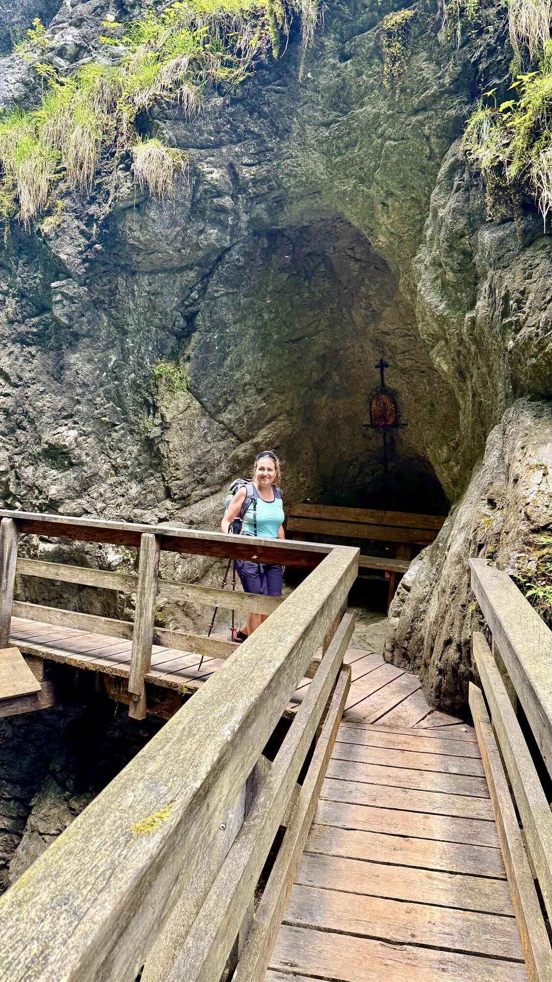
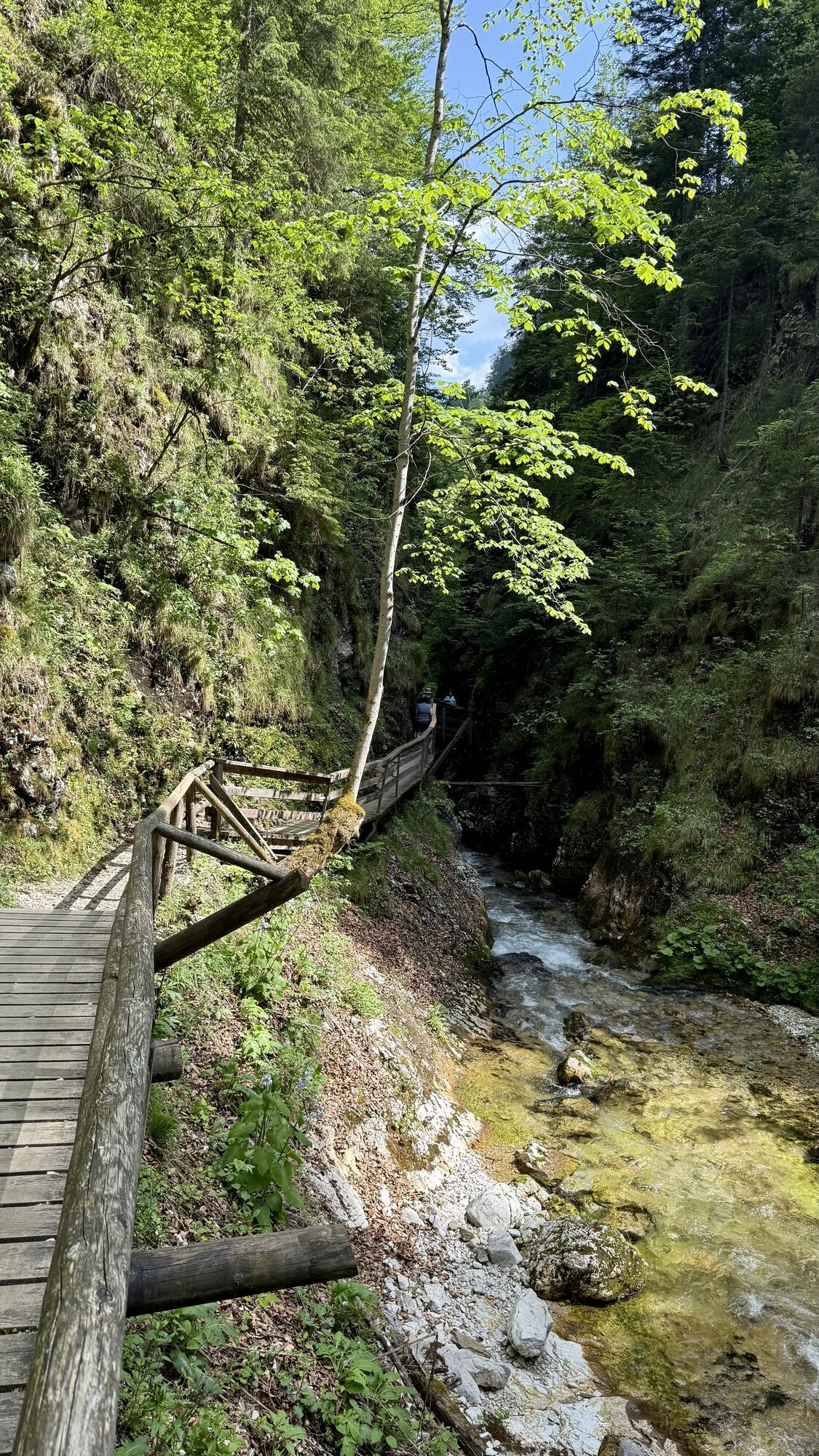
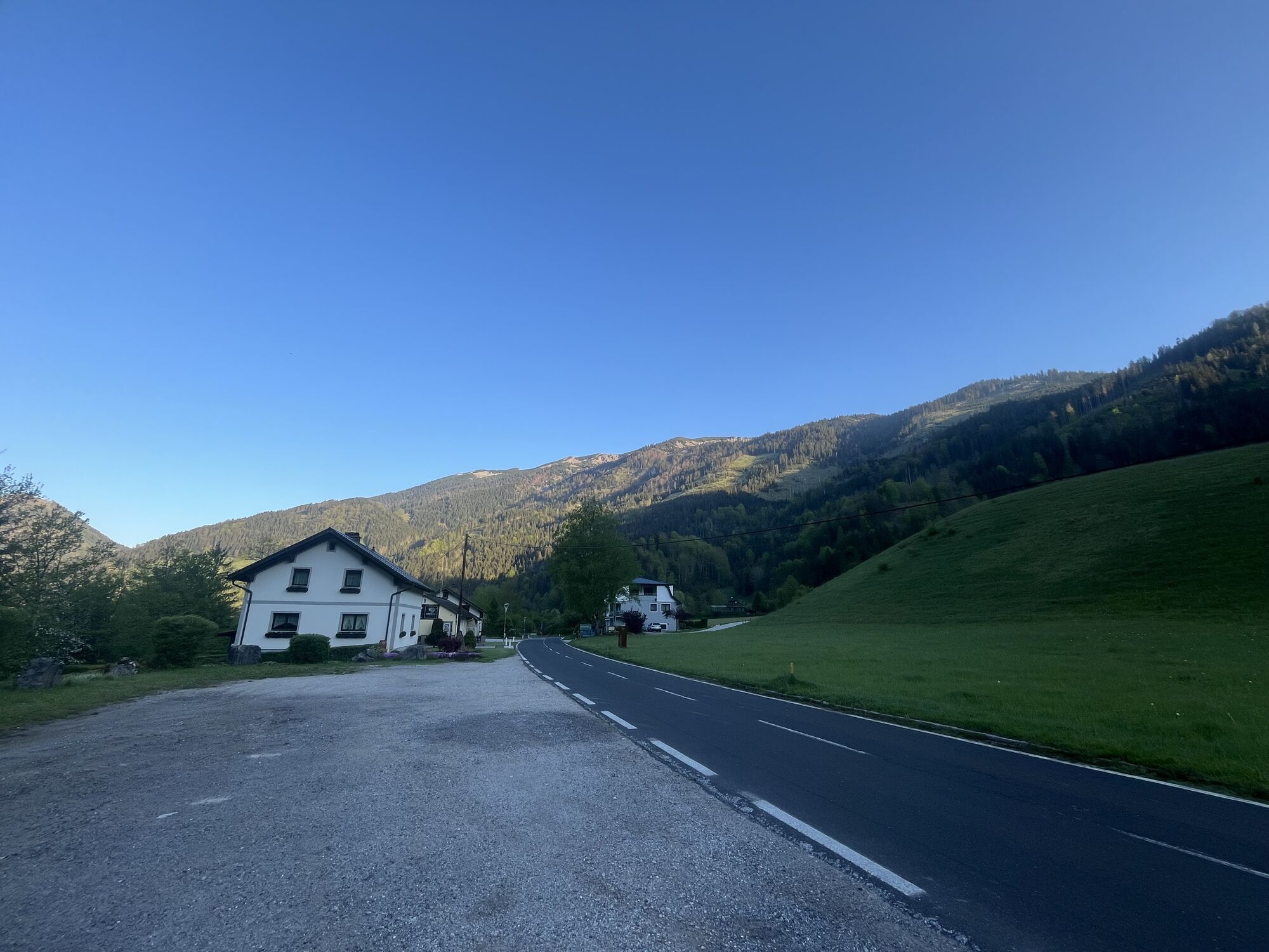
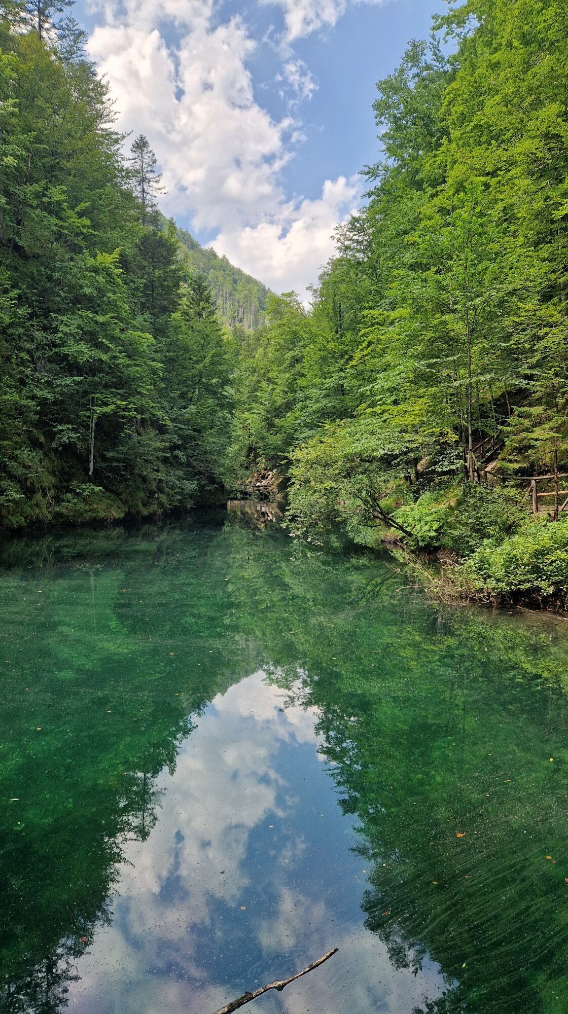
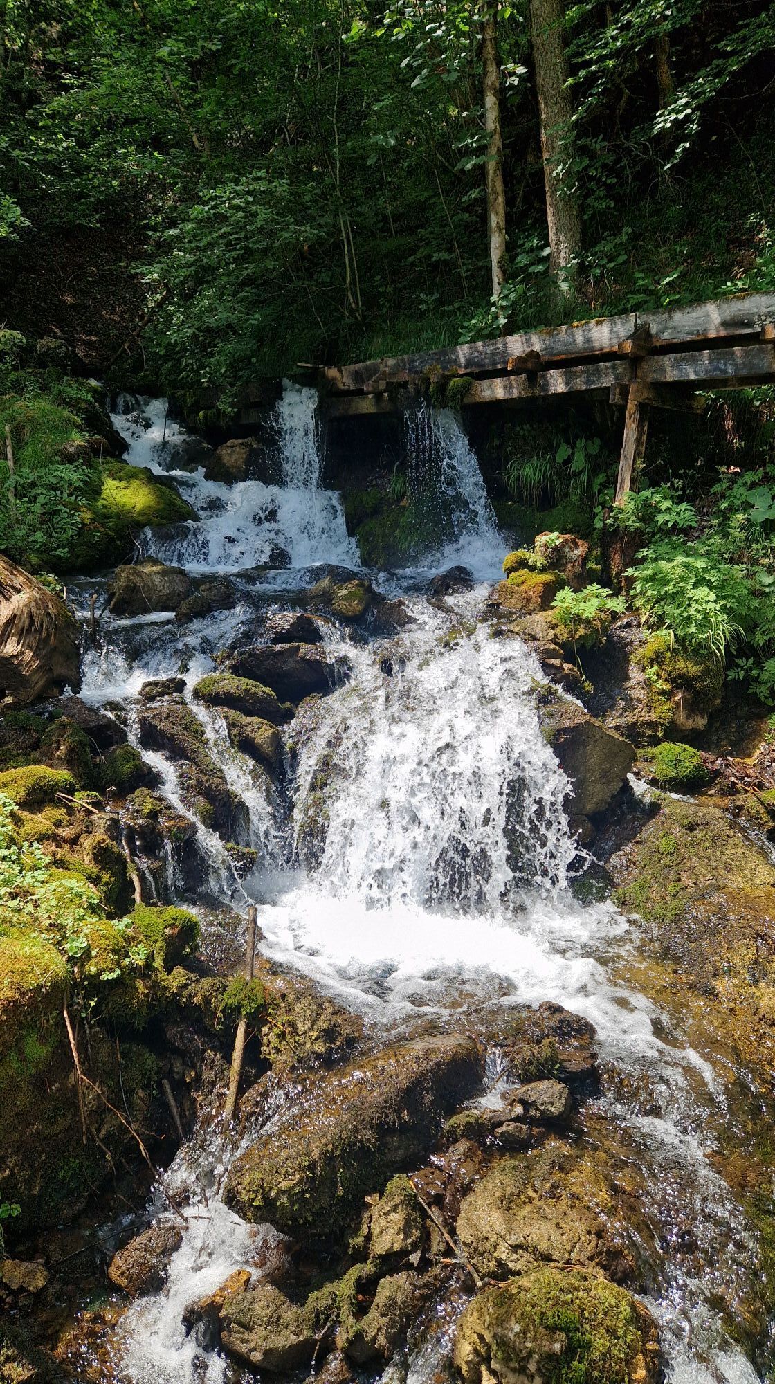
Luchs-Trailstage 09 Palfau-Lassing (long version)
Luchs-Trailstage 09 Palfau-Lassing (long version)

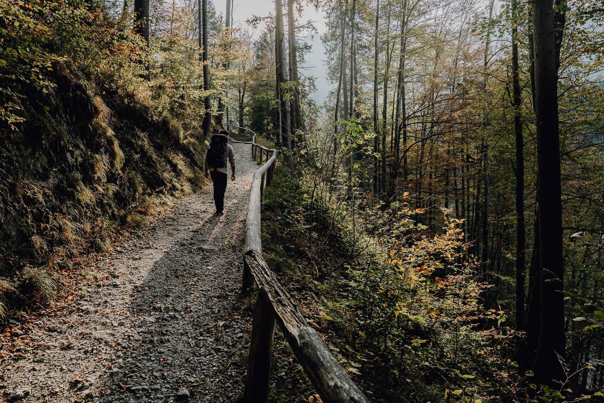
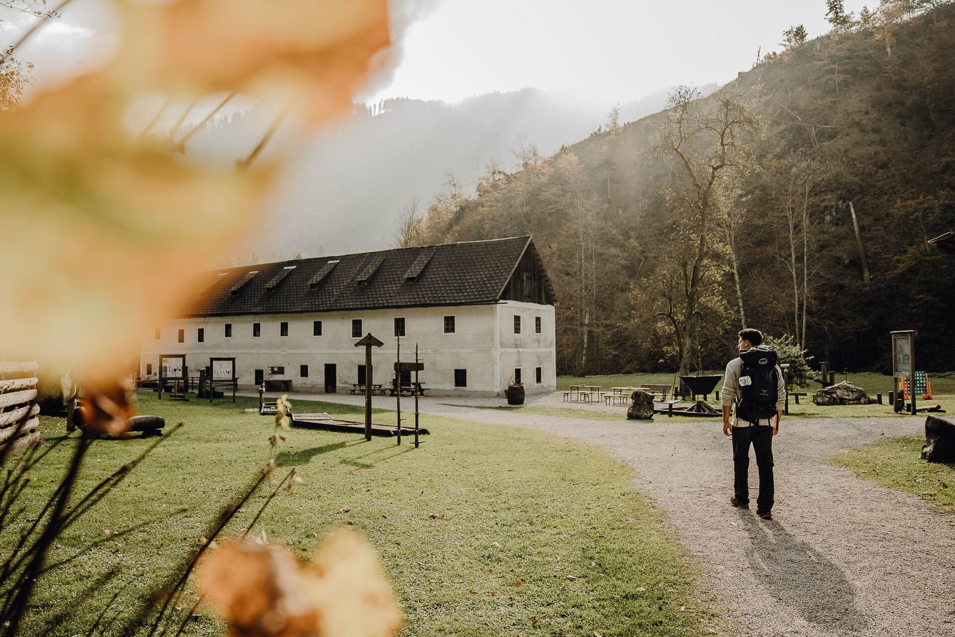
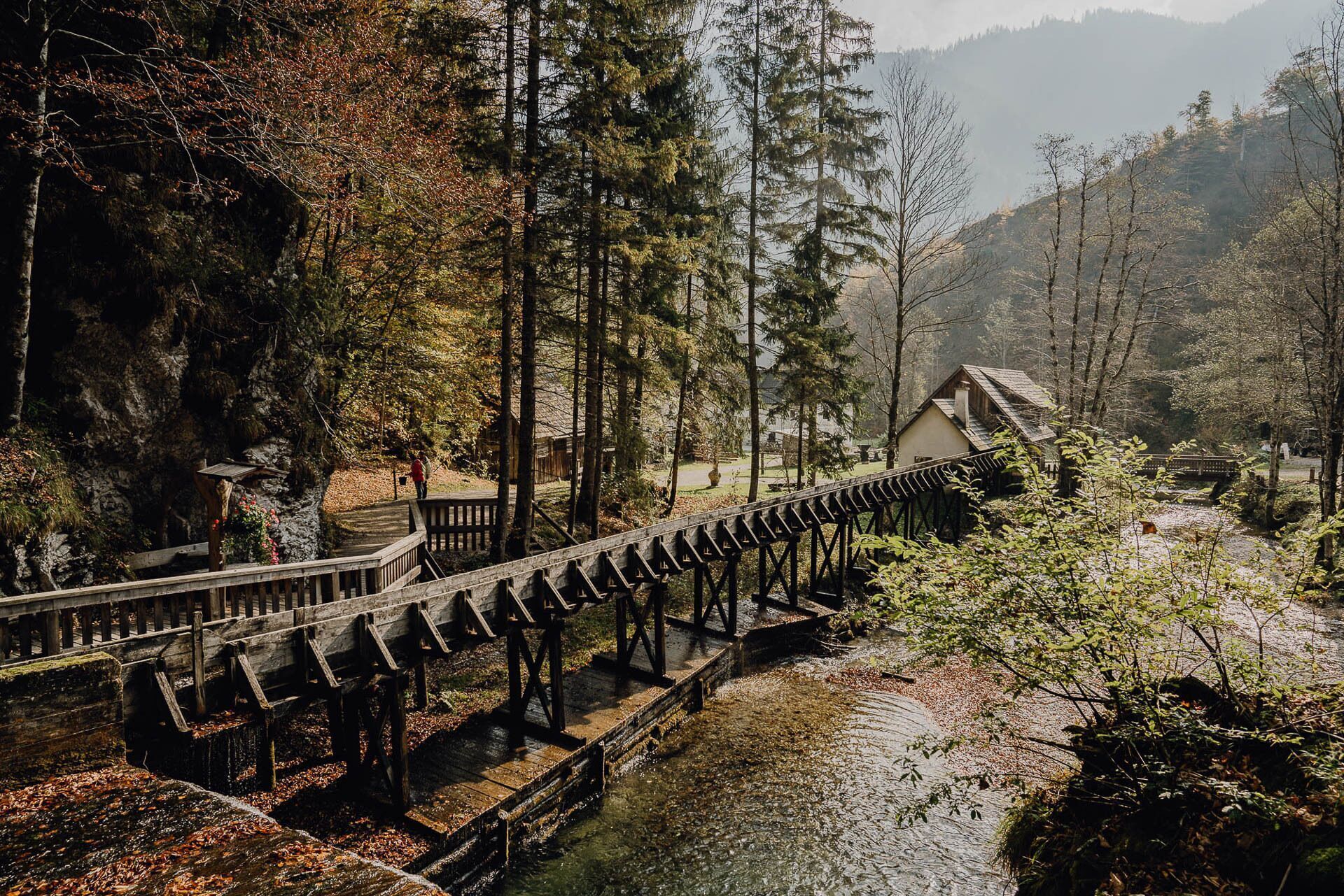
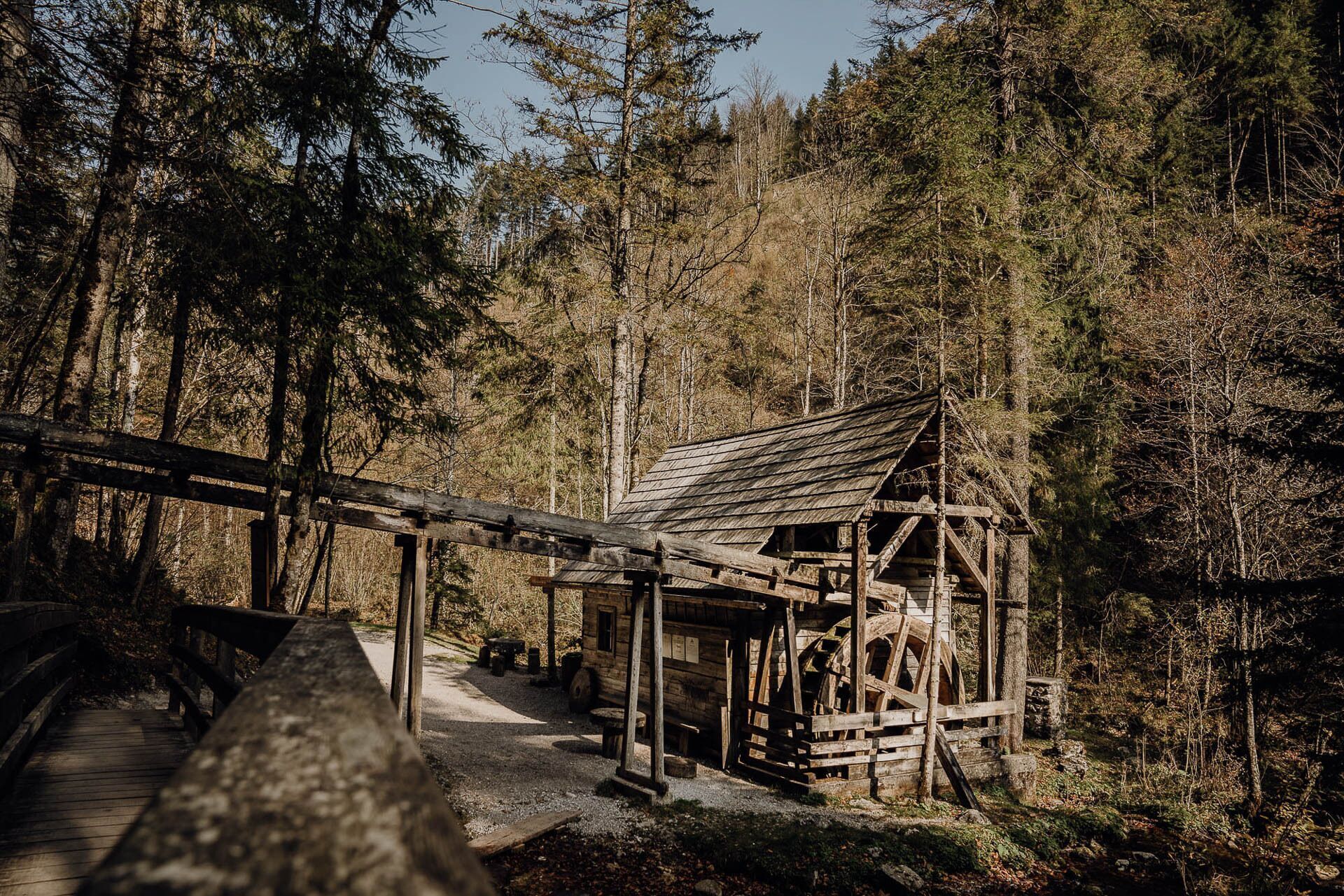
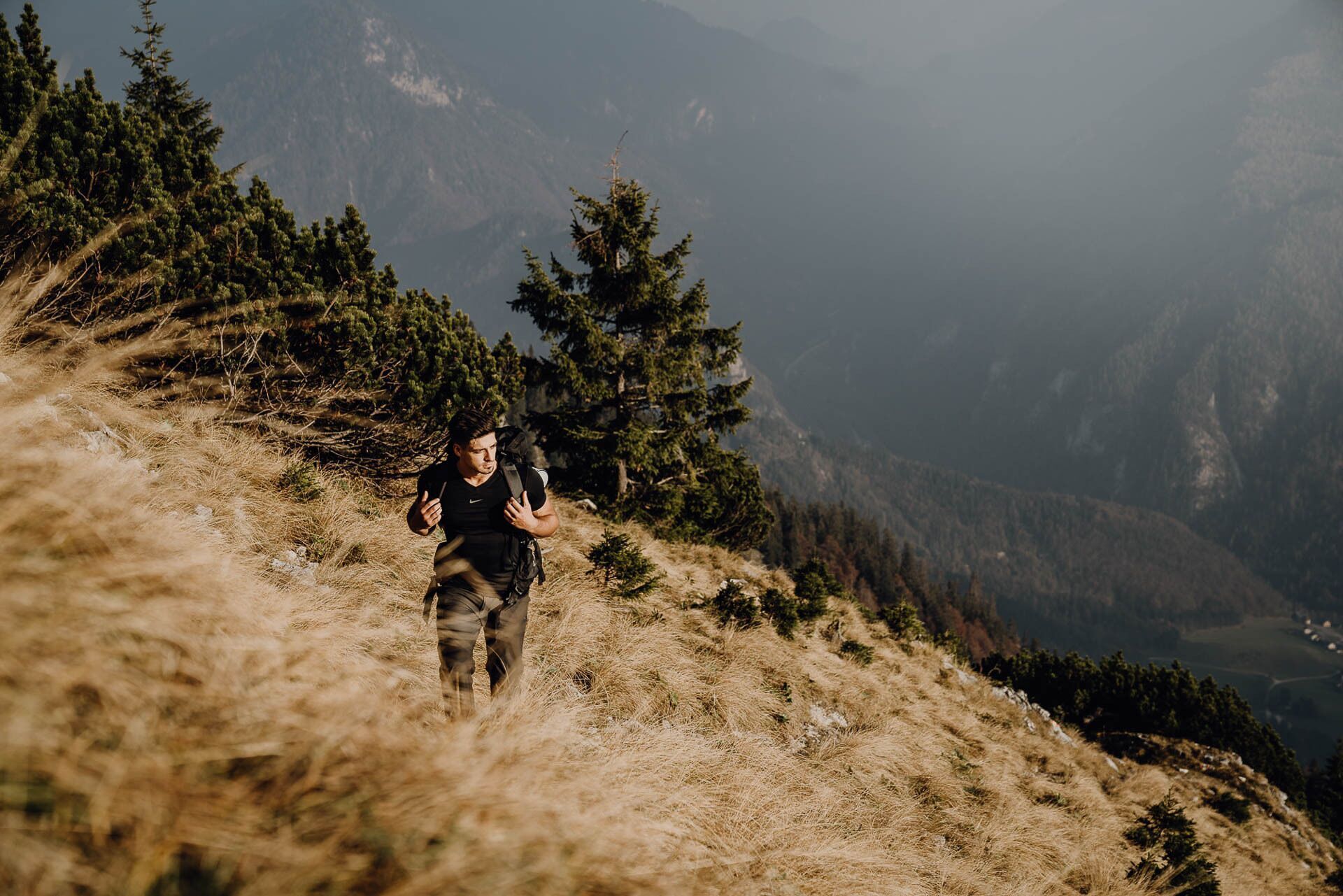
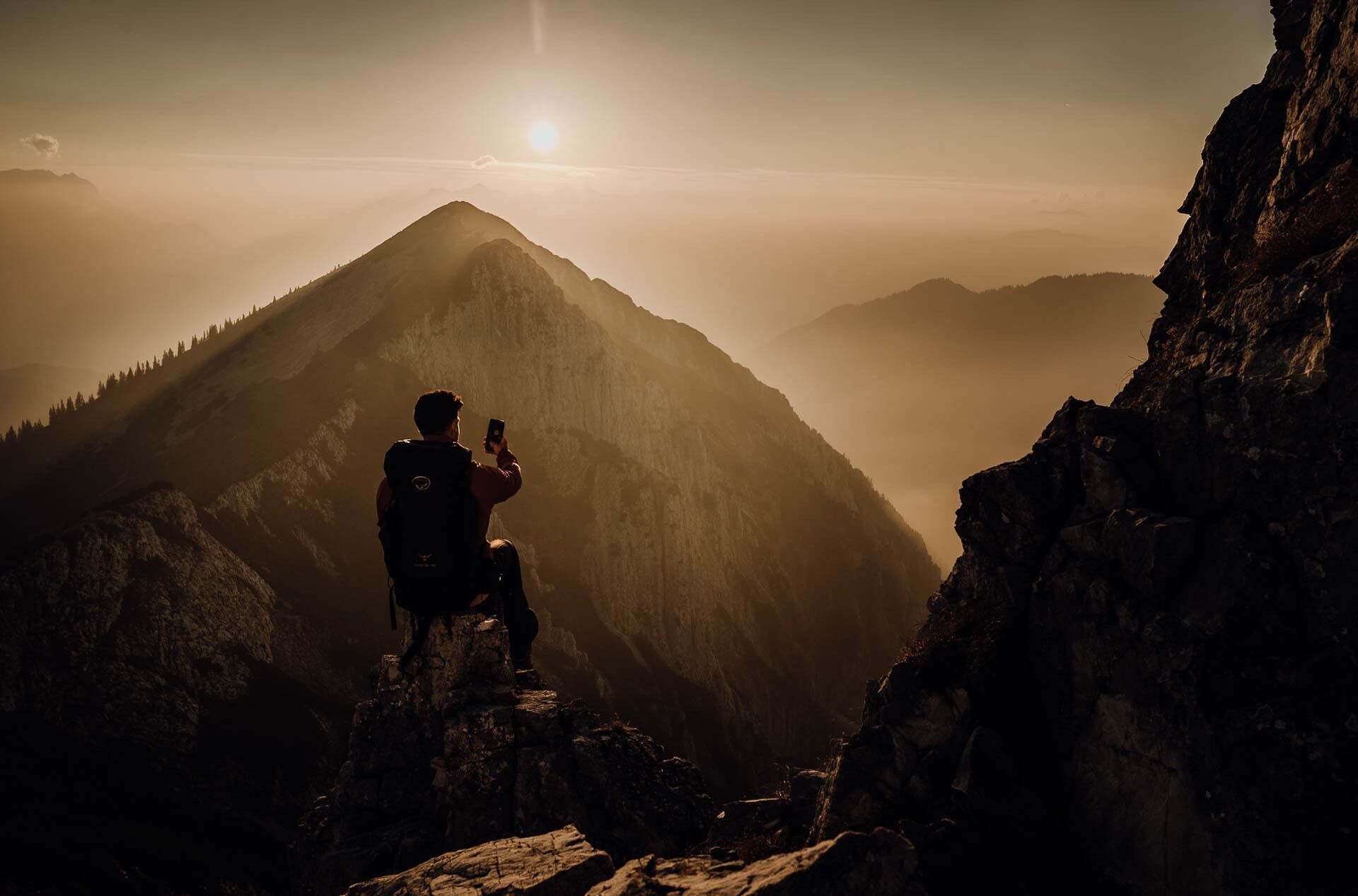
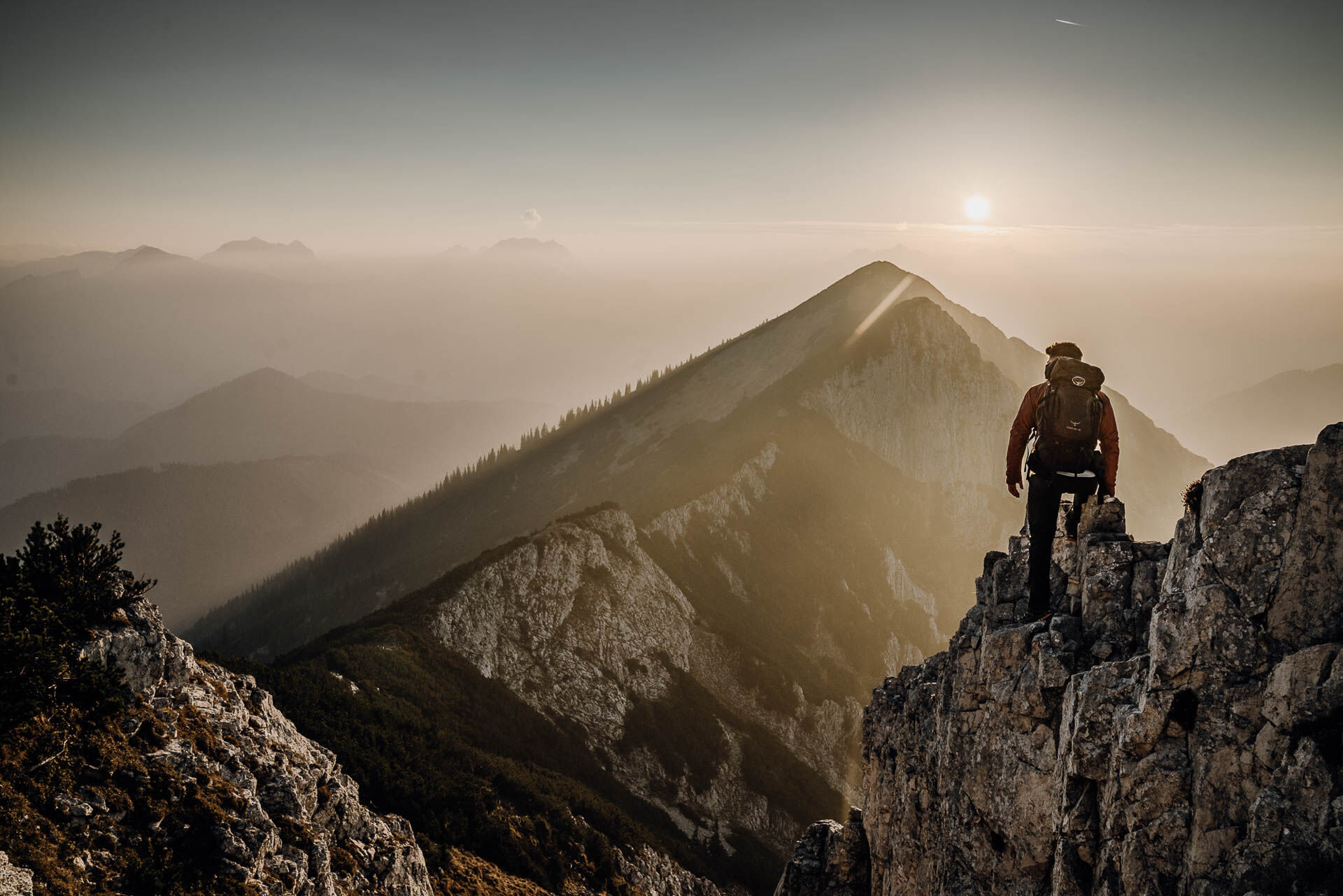
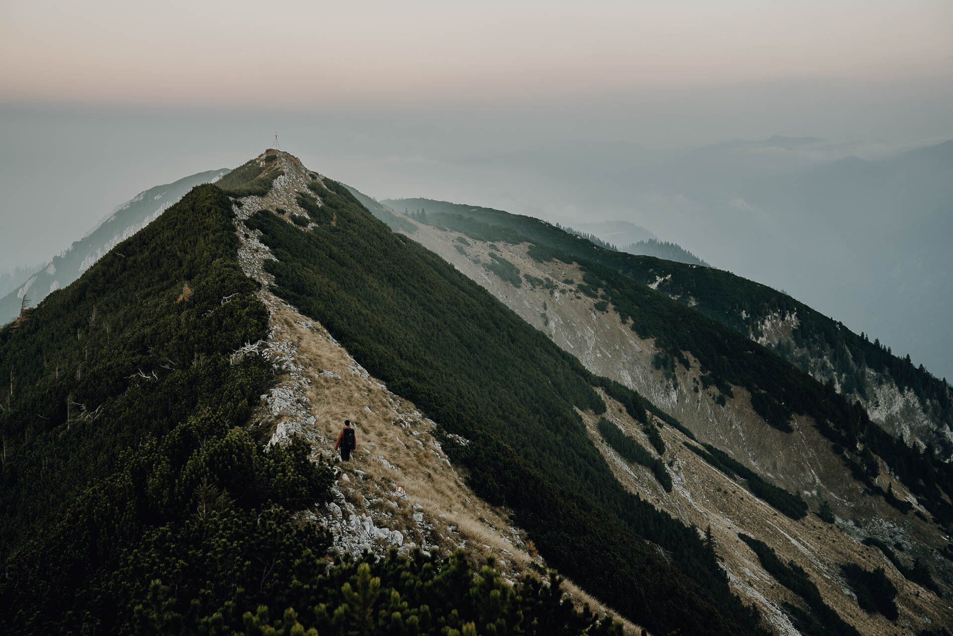
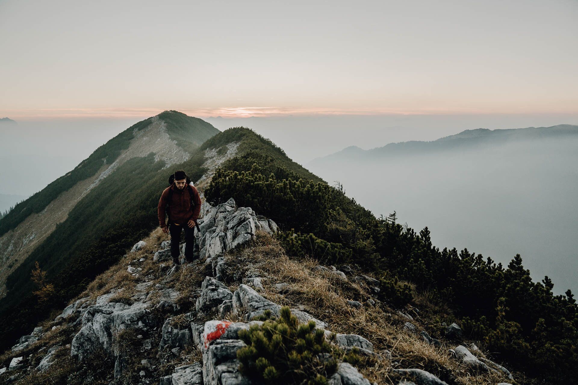

From there, follow the signs for Niederscheibenberg/Sandgraben/Hollenstein. The path with the number 64 leads downhill and joins a forest road. Now head towards Sandgraben/Hollenstein and reach Niederscheibenberg. First follow the signs towards Sandgraben/Hollenstein, then follow the signs for mountain bikers towards "Große Scheibenbergrunde 76".
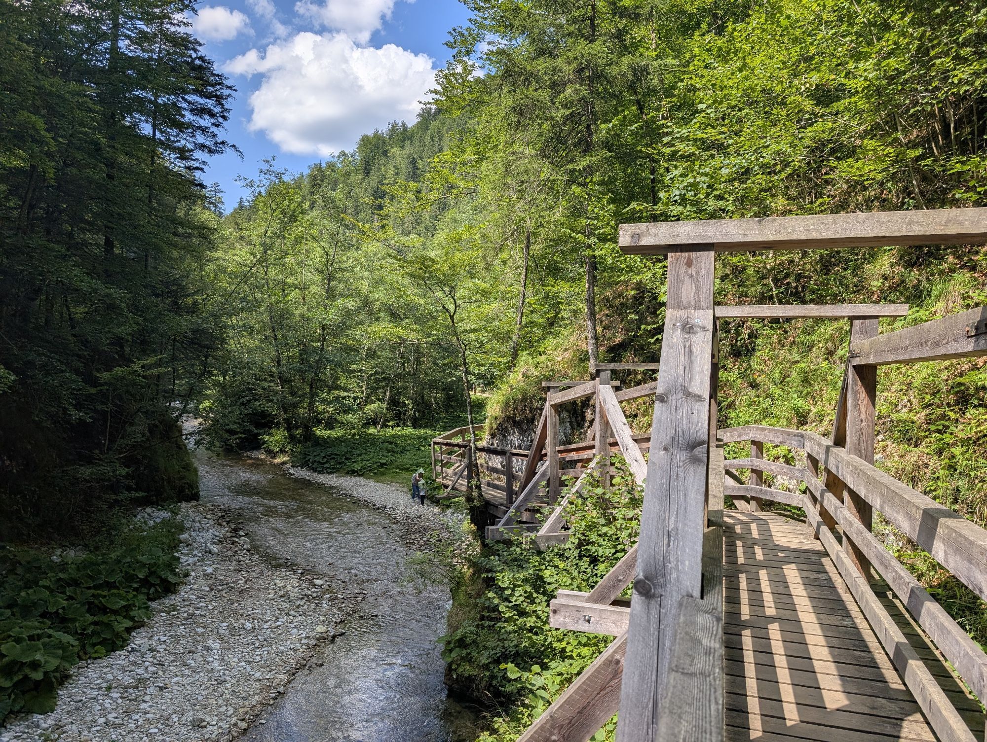
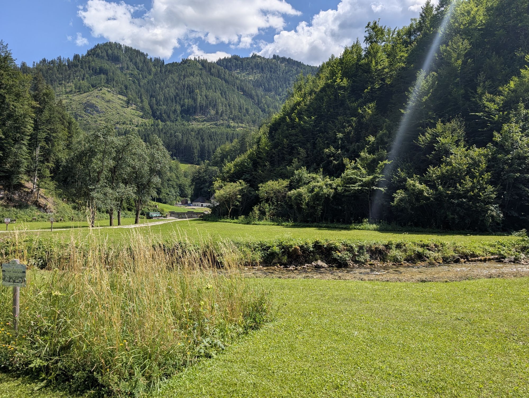
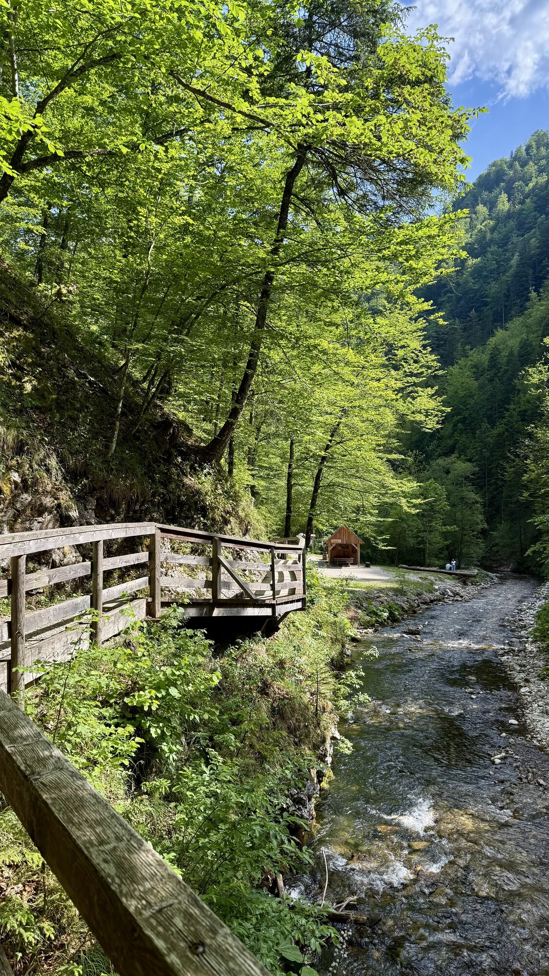
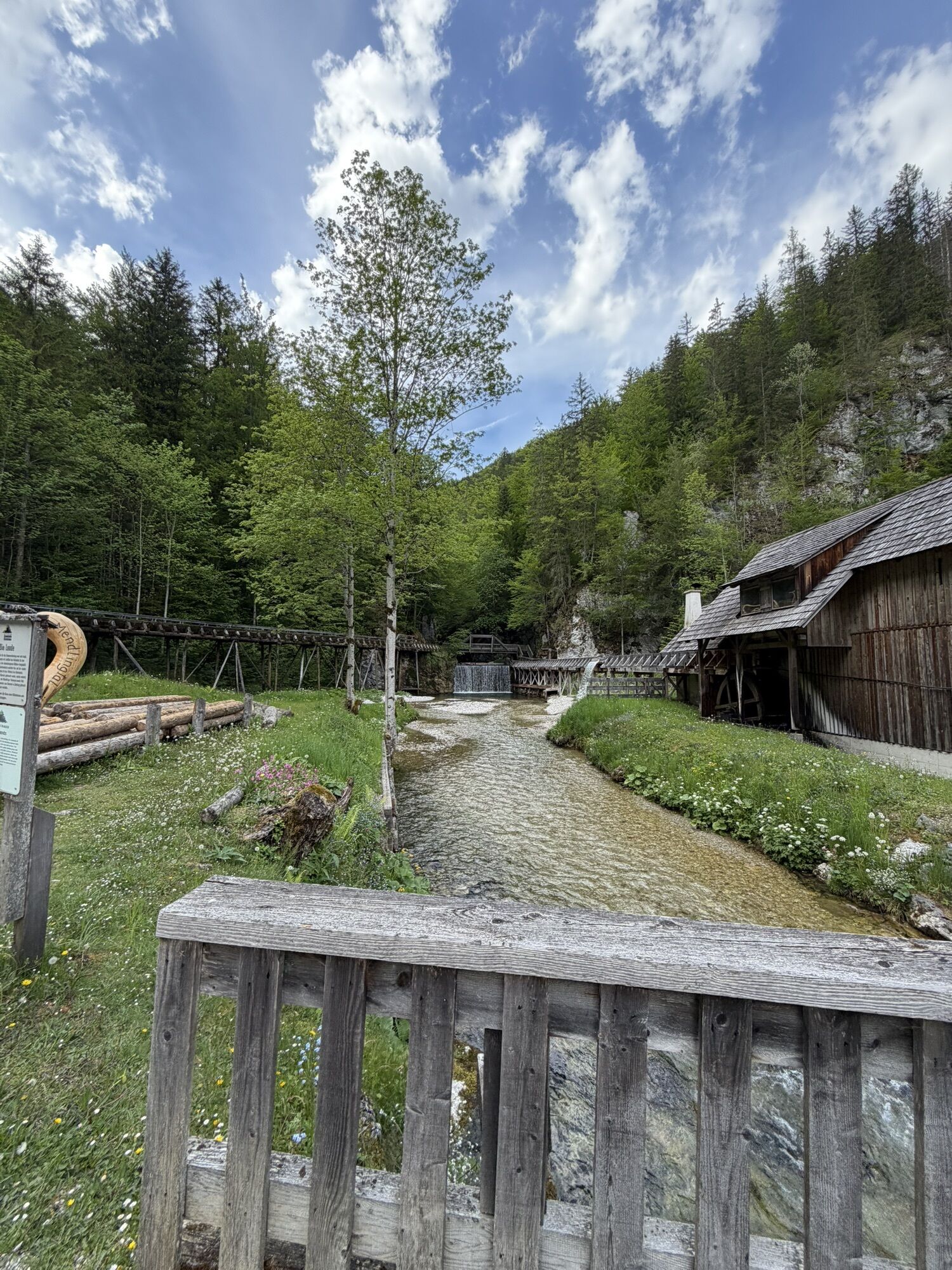
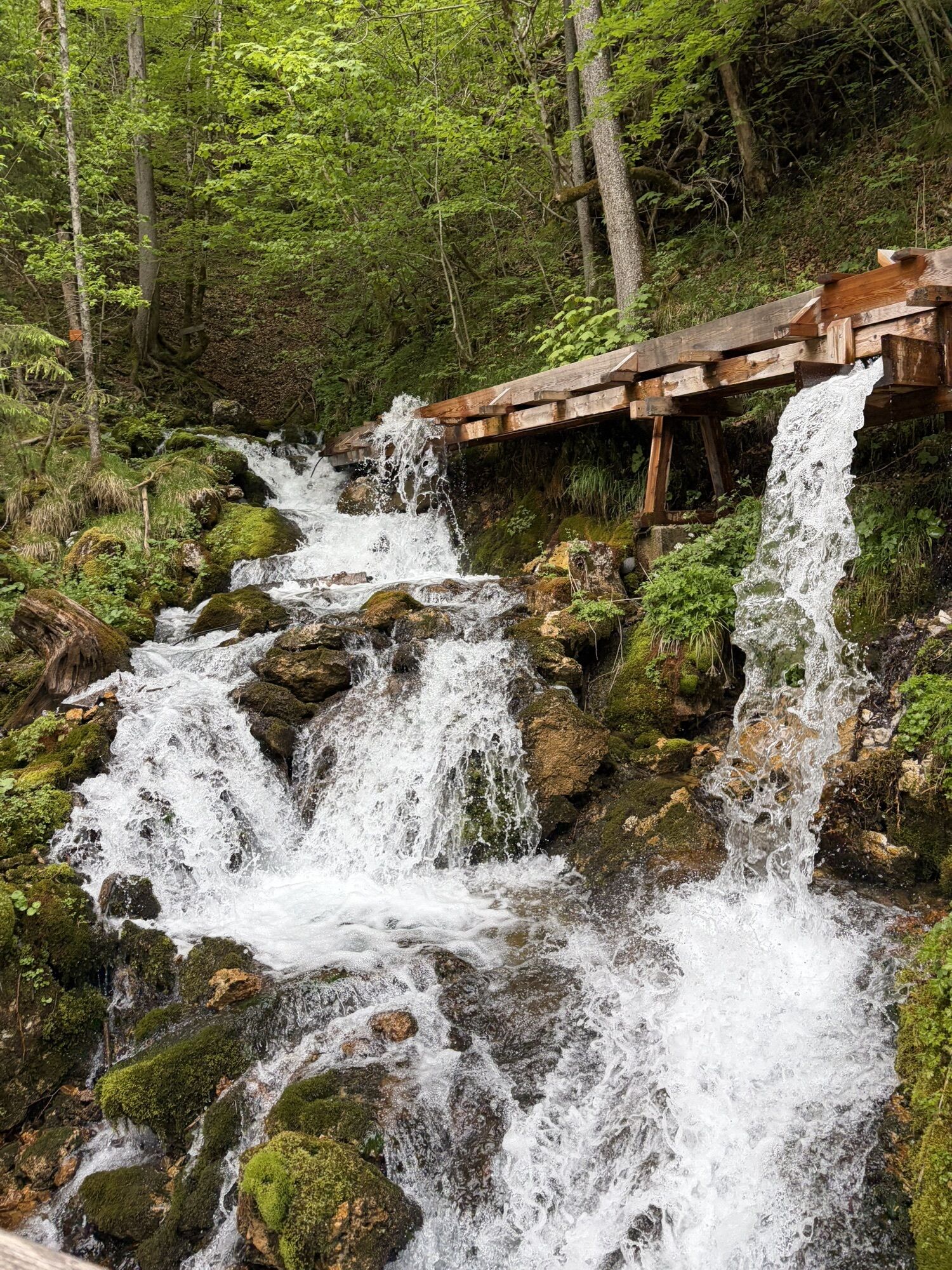
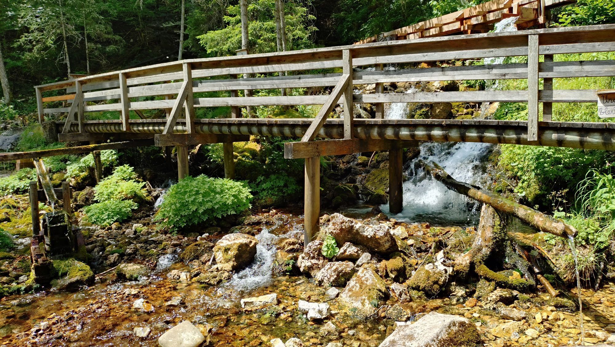
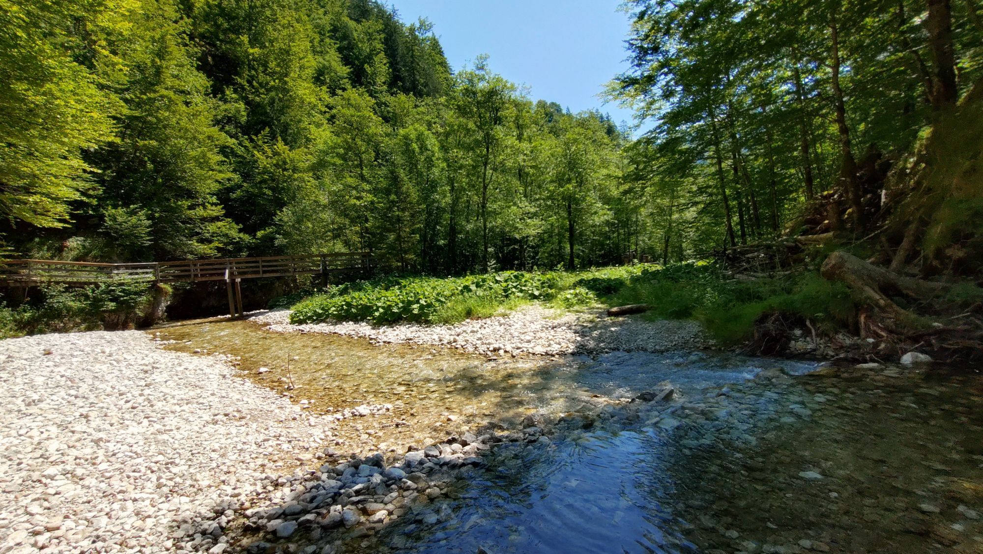
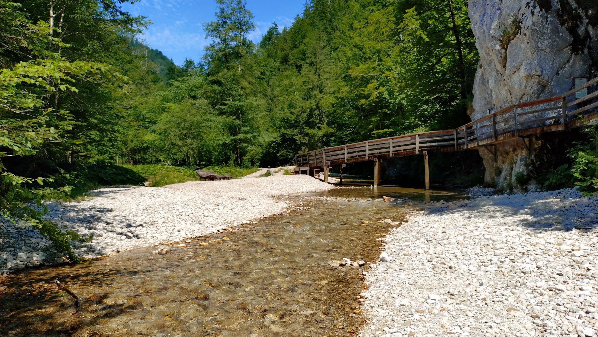
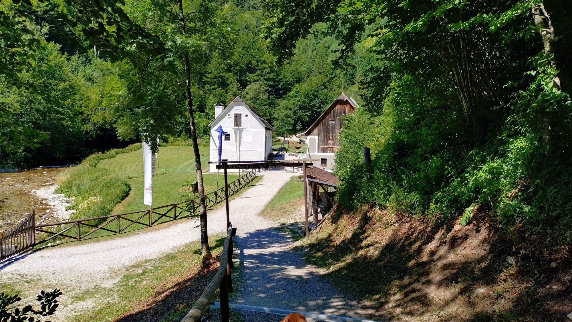
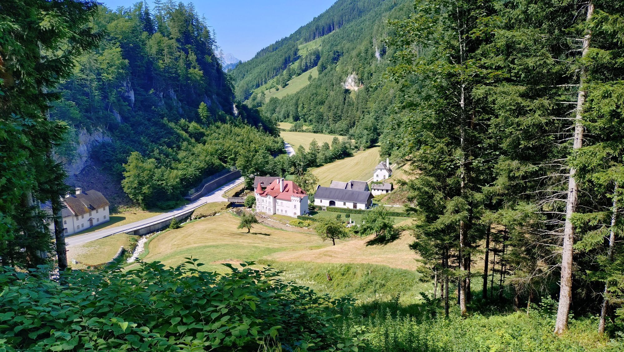
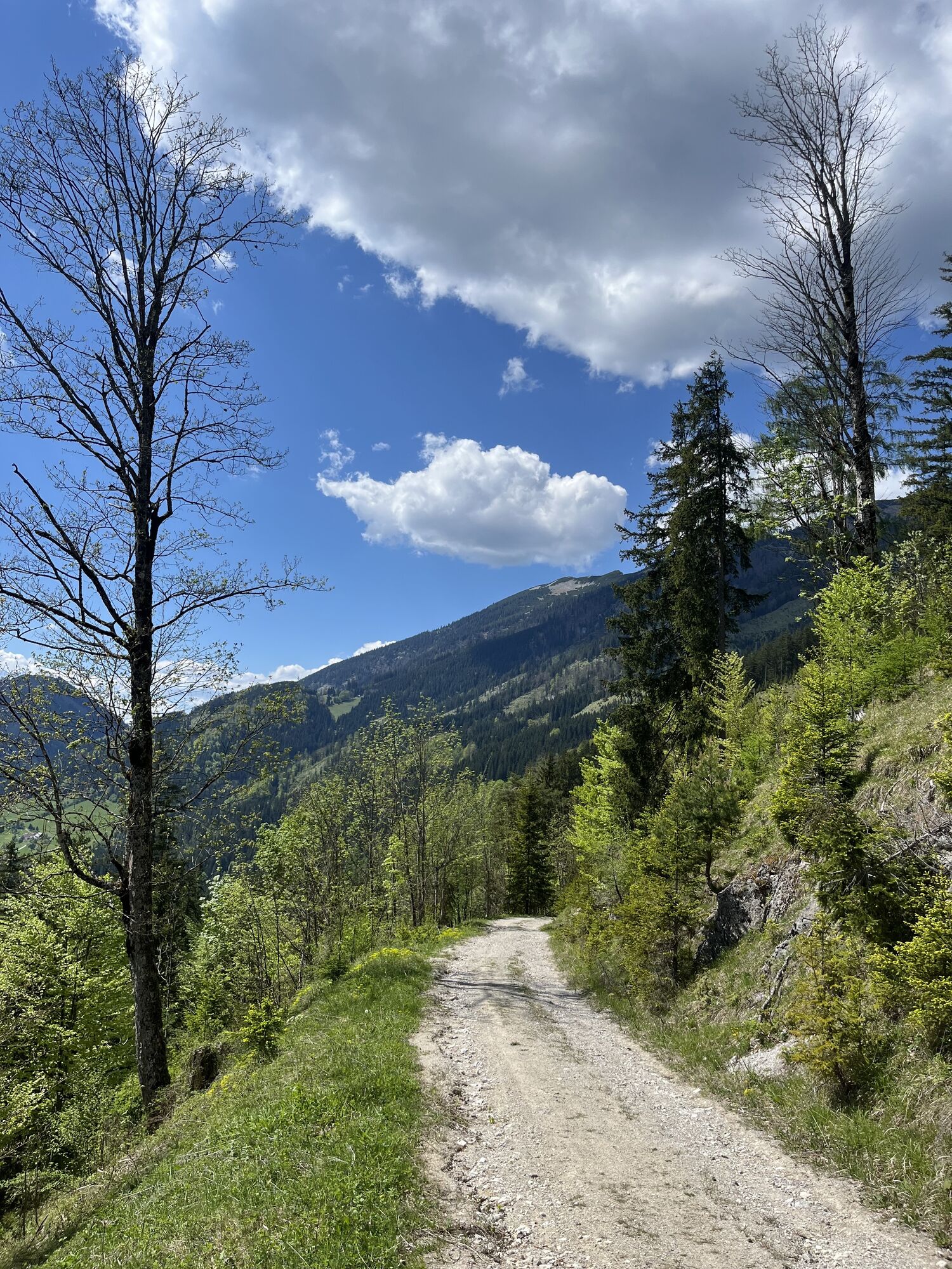
After a short steep ascent, you will come to another mountain bike signpost at the top of the forest path. Turn right towards "Gamssteintour neu" and then straight ahead at the next signpost towards "Gamssteinrunde neu". The route along the forest roads is long but pleasant. On hot summer days, the forest provides refreshing coolness. Where the forest path joins the tarmac road, turn right over the bridge and along the stream until you reach the Mendlingtal Adventure World snack station.
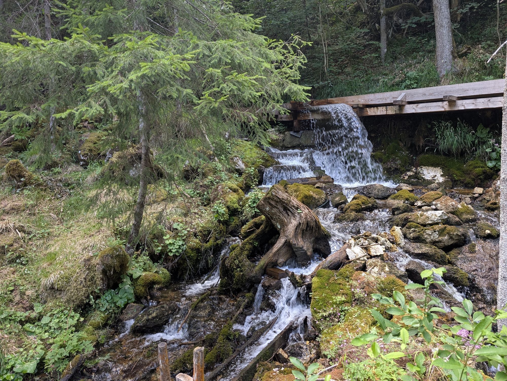
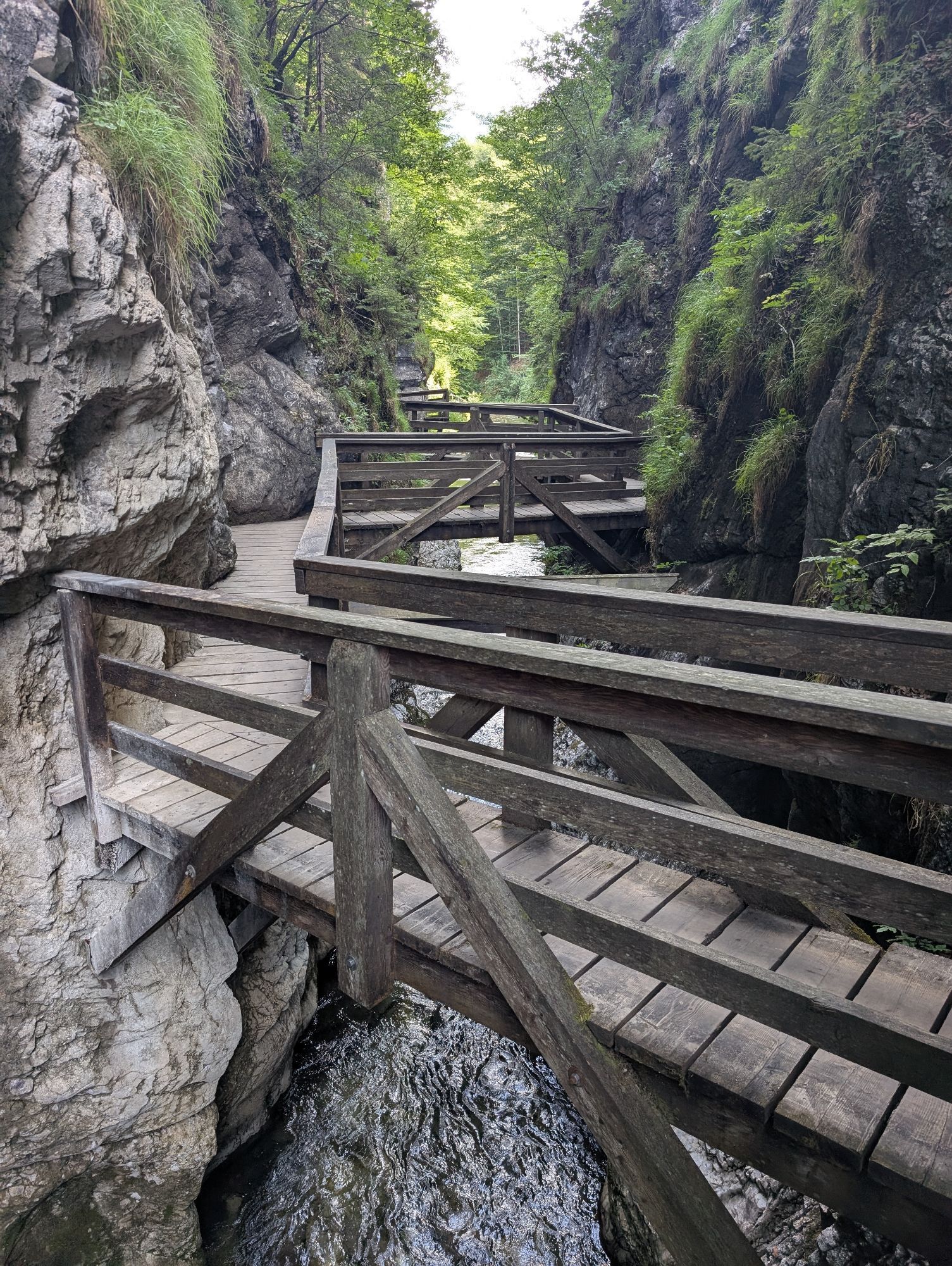
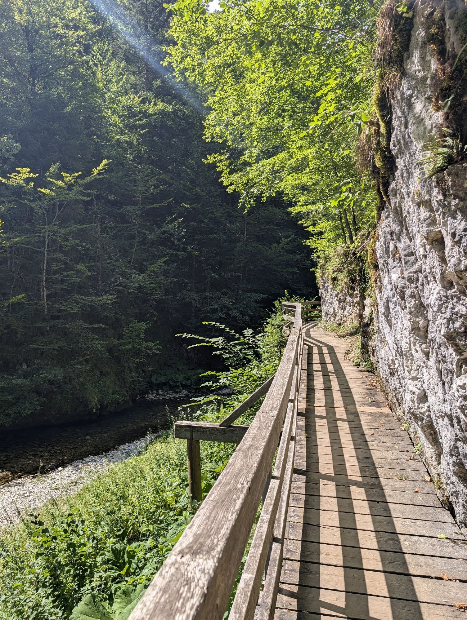
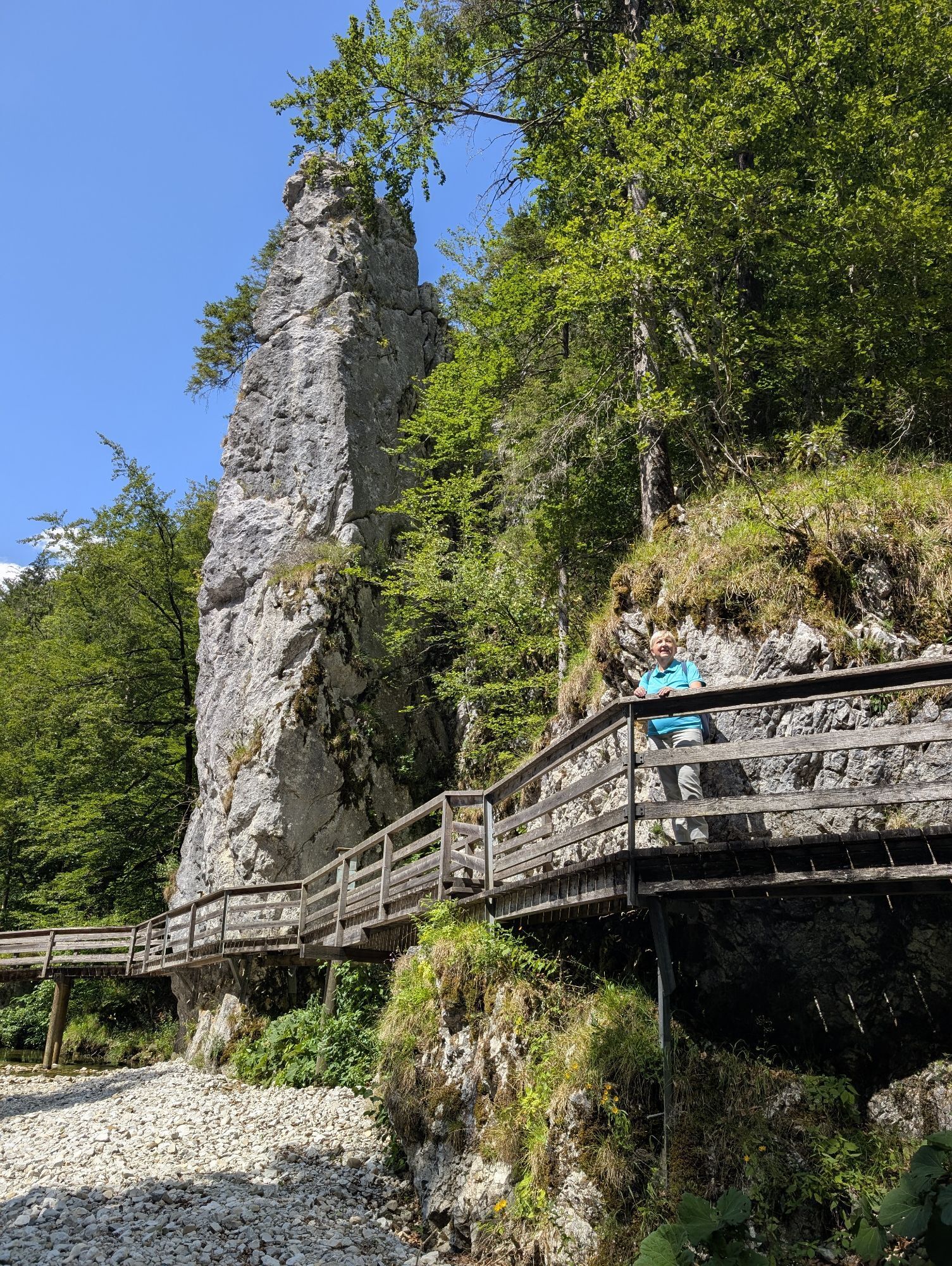
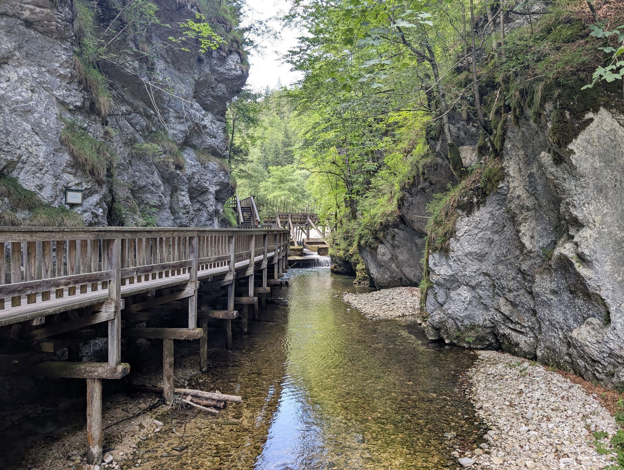
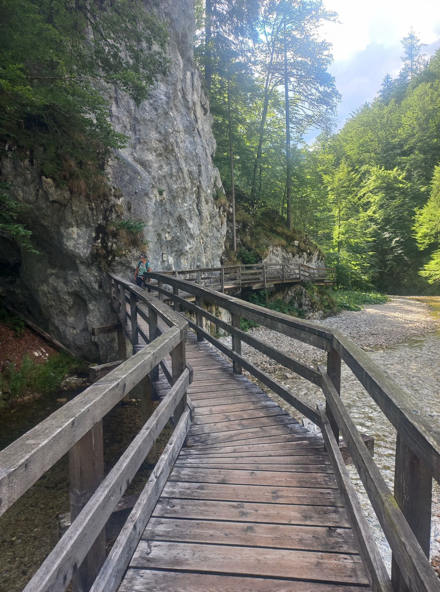
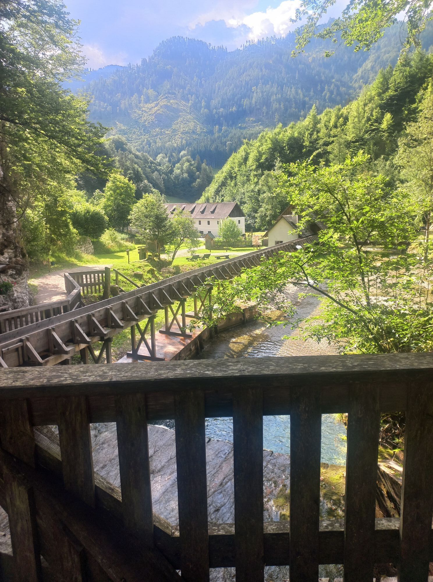
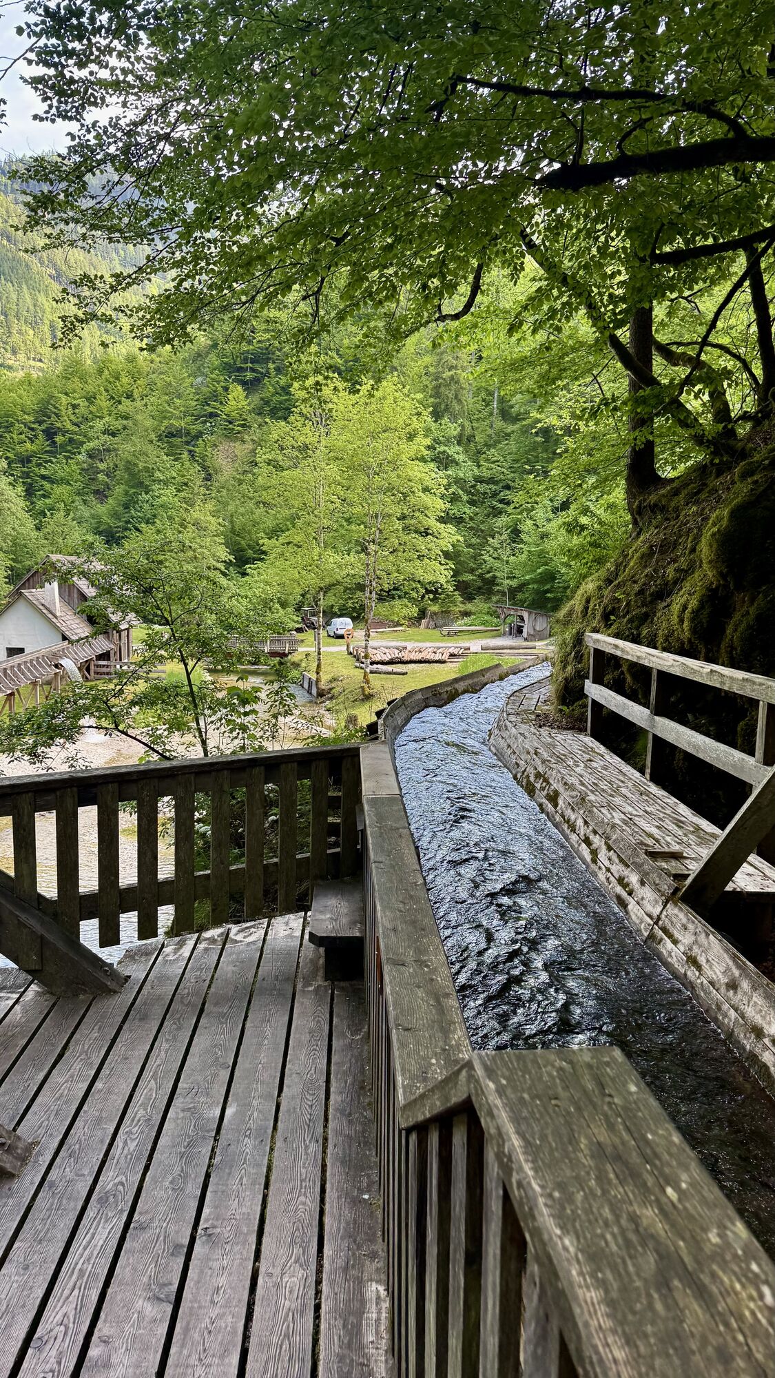
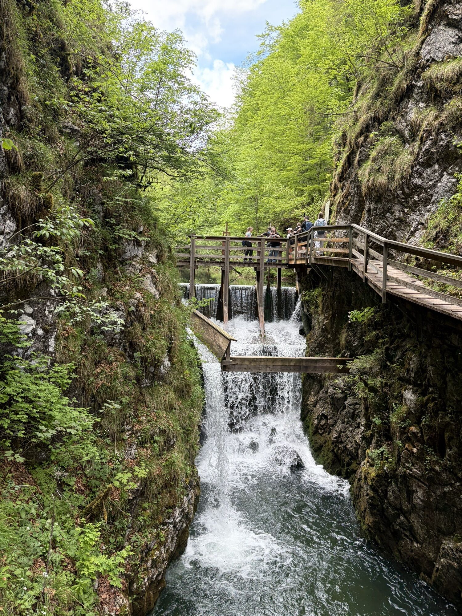
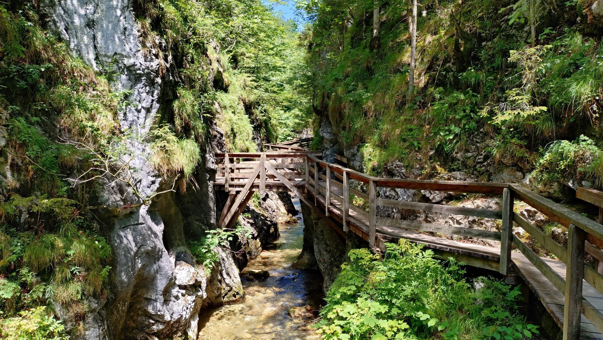
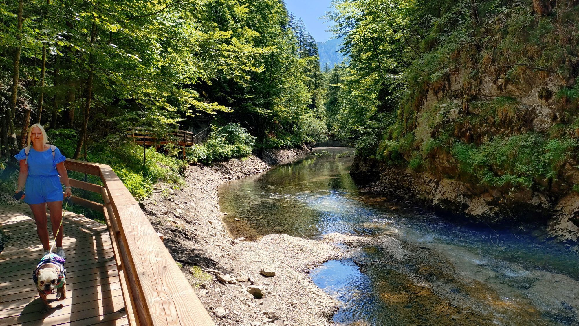
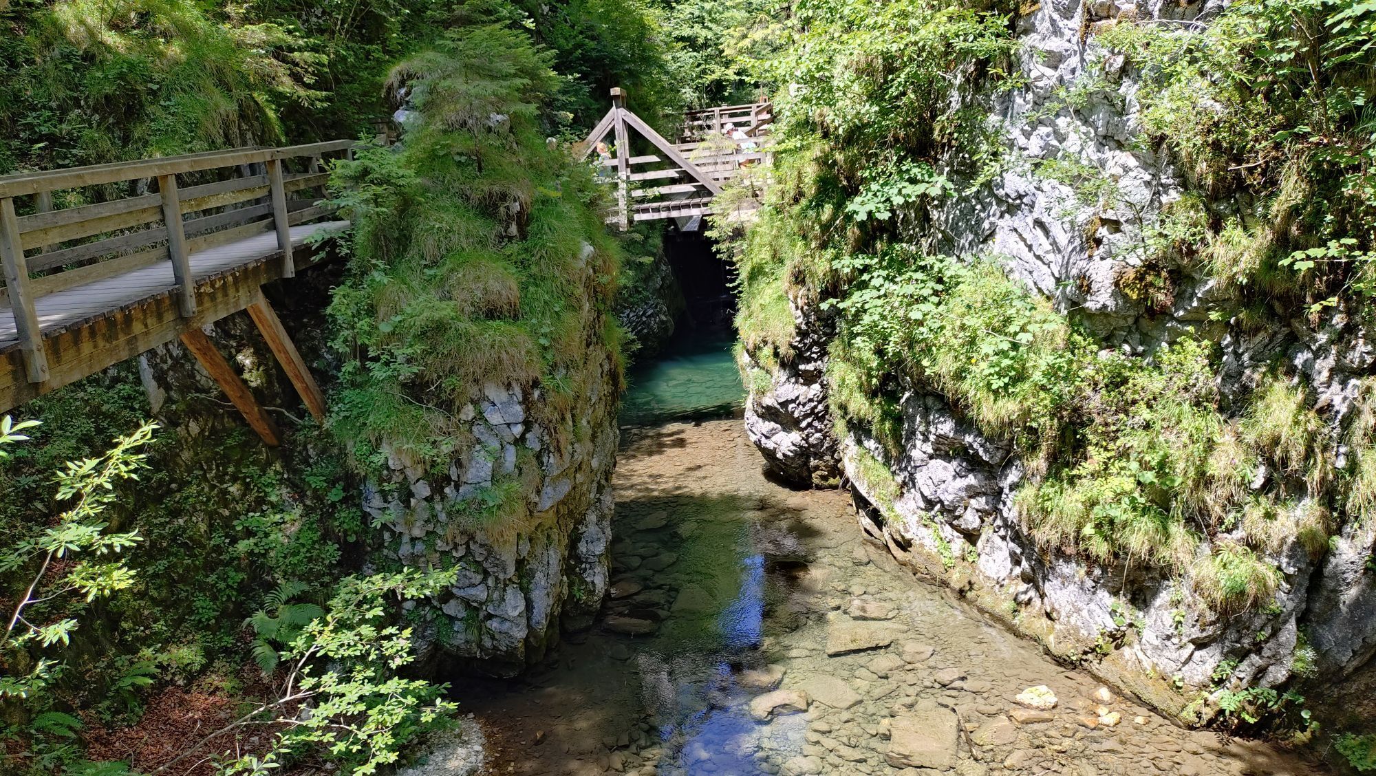
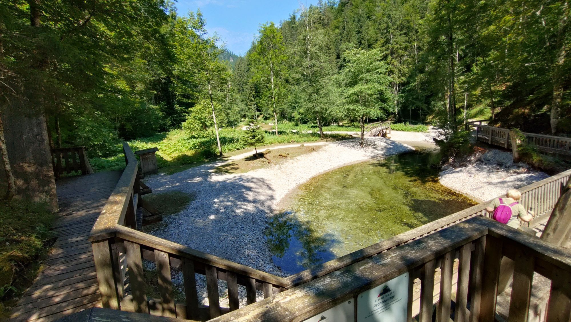
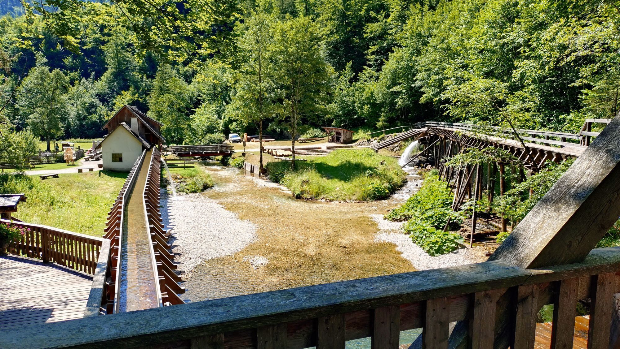
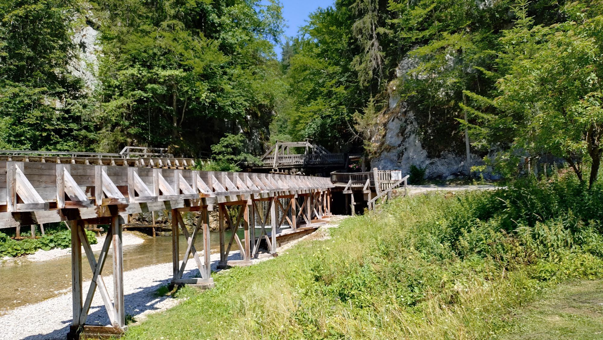
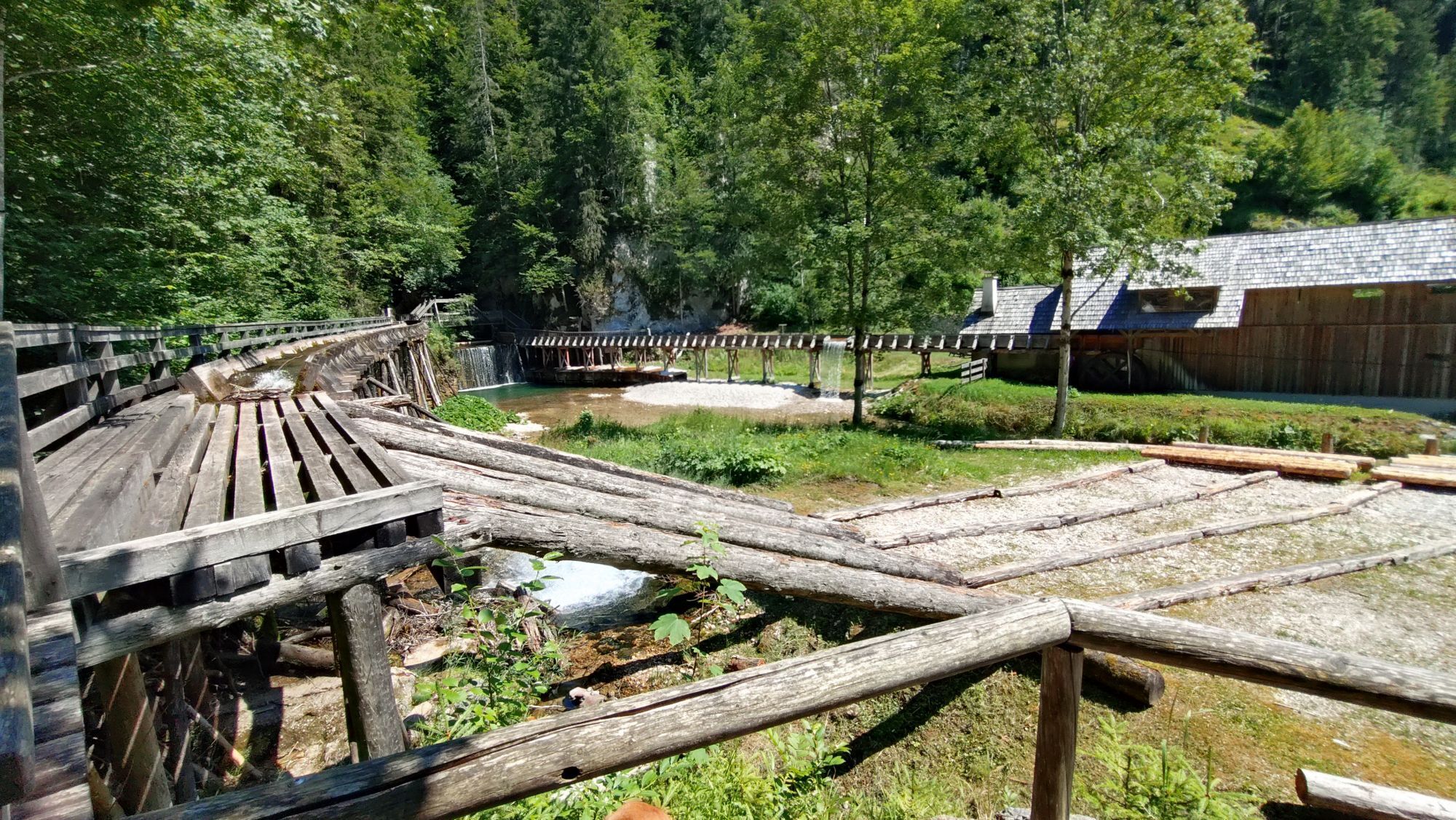
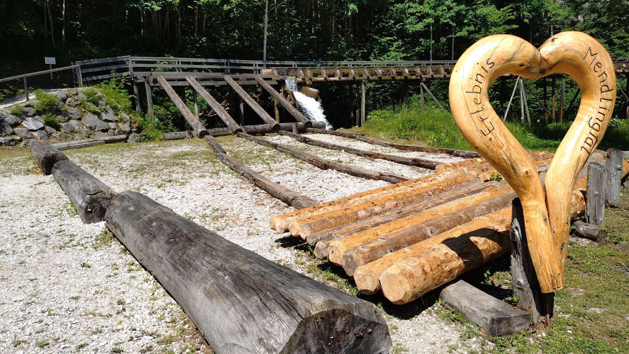
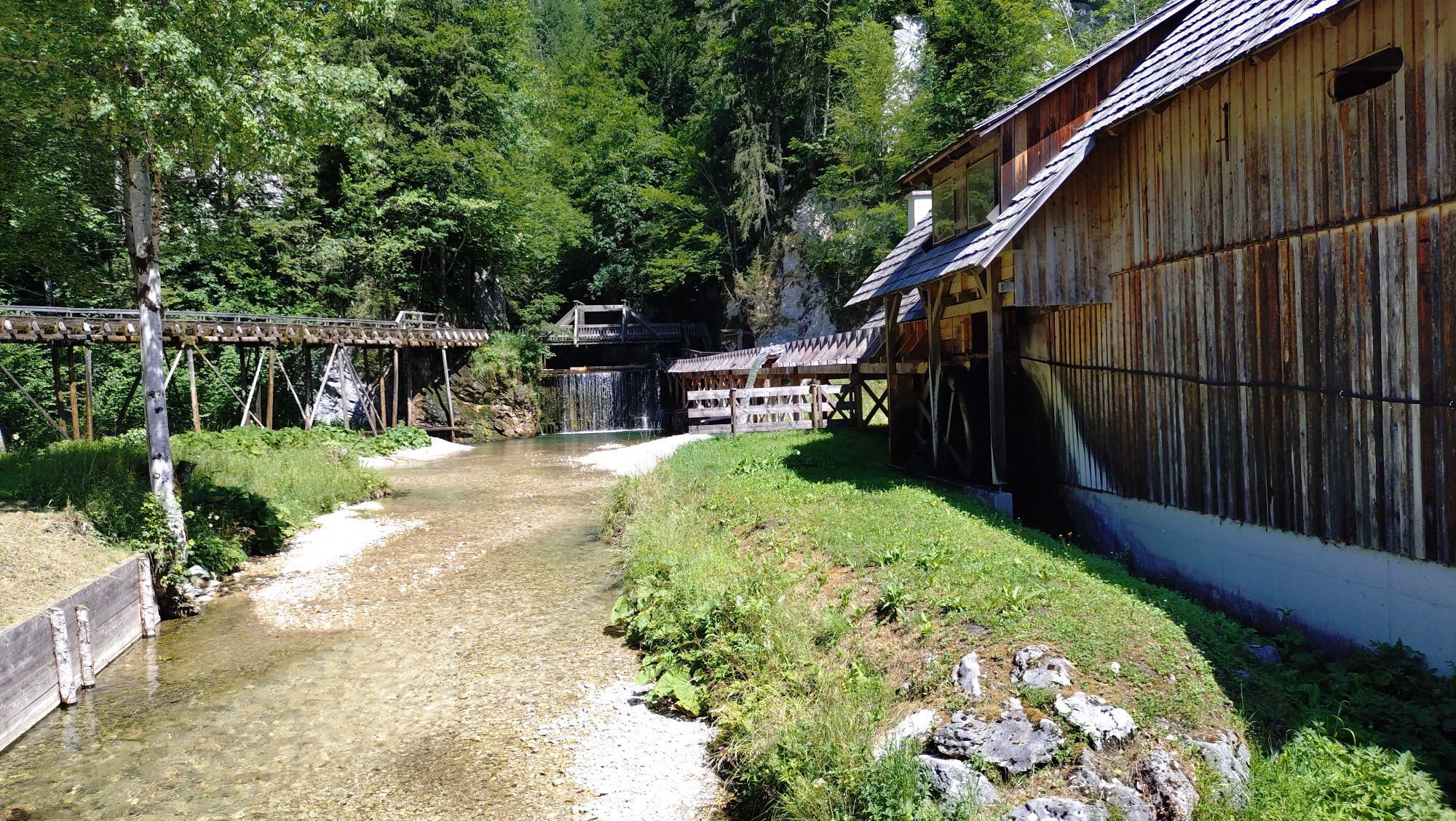
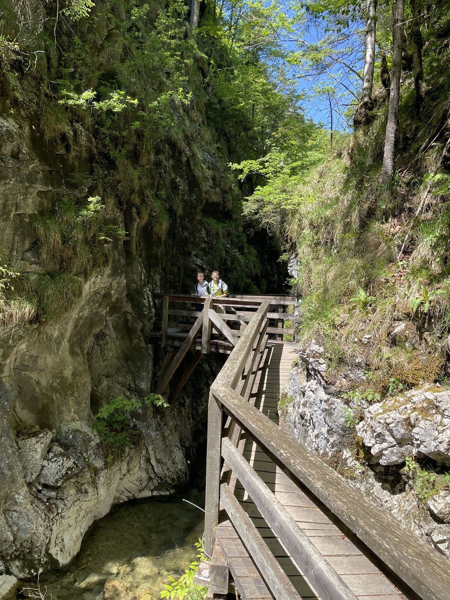
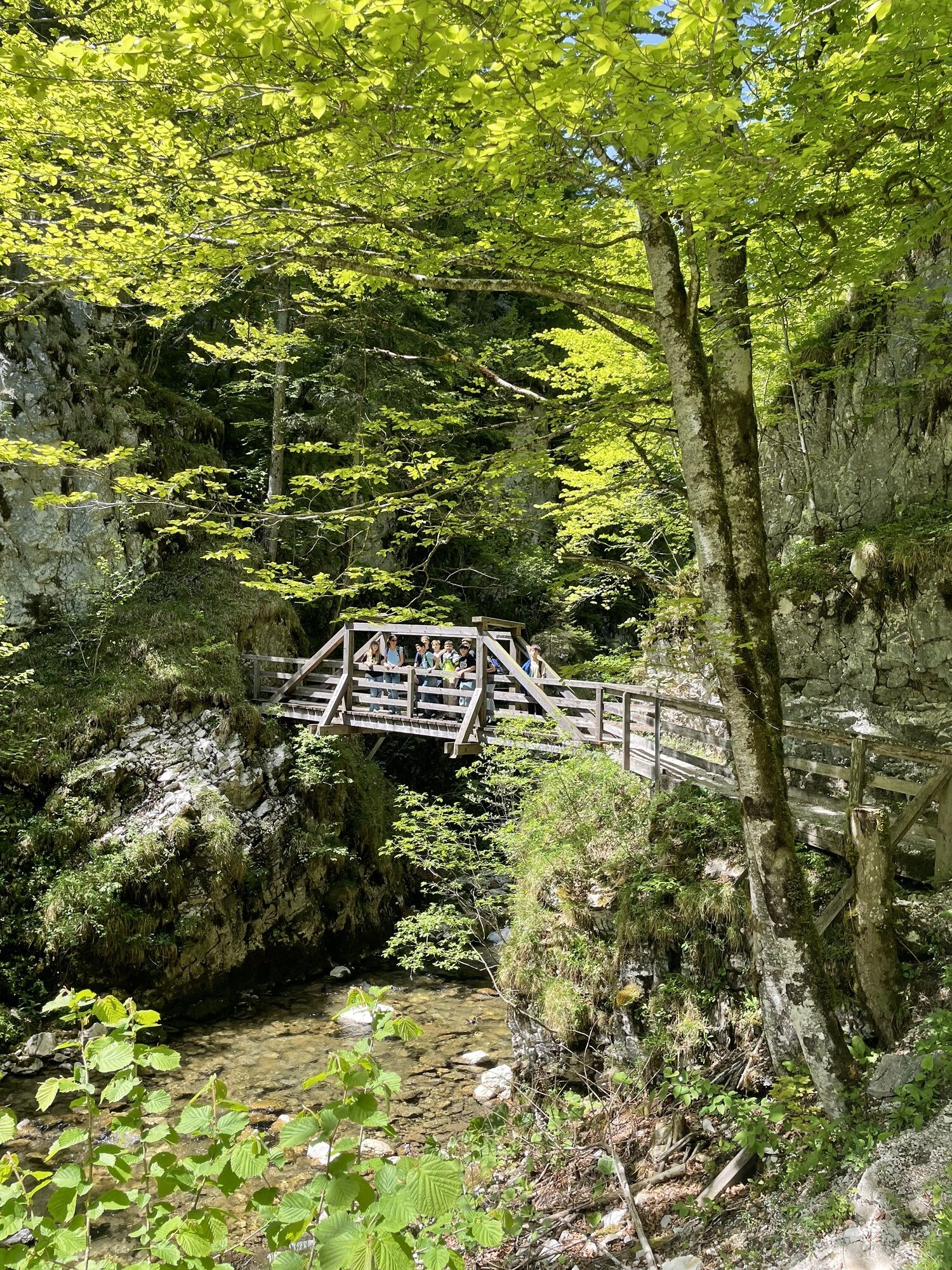
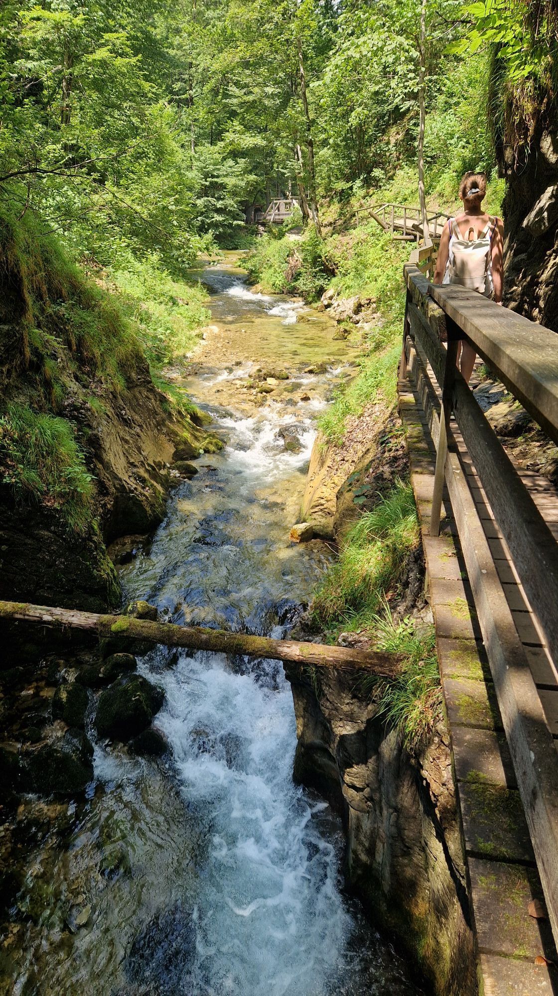
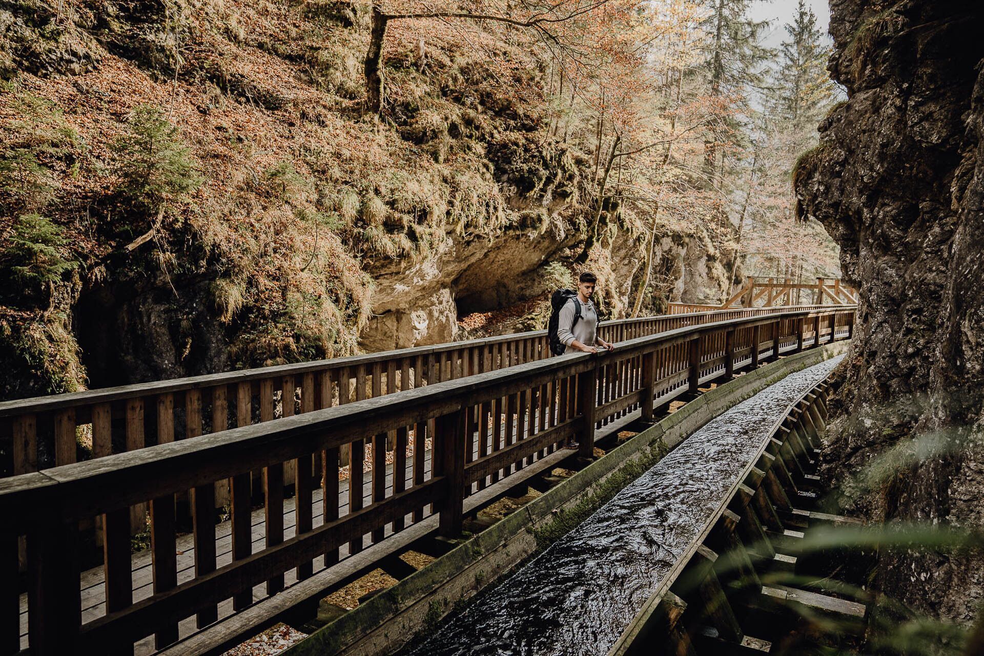
The last section through the gorge of the Mendlingbach stream (Mendlingtal Adventure World, entrance fee payable), where you learn a lot about the former timber drift, is a great experience.
You should also be well equipped for changeable weather.
Packing your rucksack correctly makes things a lot easier: pack heavy items first. The water bottle should always be within easy reach in a side pocket. All items that are often needed, such as sunglasses, smartphone or hiking map, should be on top.
Emergency call mountain rescue: 140
T3
Trail Angels GmbH
Obervellach 15, 9821 Obervellach
Tel.: +43 47 82 93 093
bookyourtrail.com
Info point Lower Austria:
Mostviertel Tourismus
Töpperschloss Neubruck
Neubruck 2/10, 3270 Scheibbs
Tel.: +43 (0)7482/204 44
info@mostviertel.at
Info point Upper Austria:
Alpenland Tourismus GmbH
Bahnhofstraße 2, 4580 Windischgarsten
Info office: Reichraming
Tel.: +43 7252 53229-40
reichraming@360alpenland.com
alpenland@360.com
Information office Styria:
Tourismusverband Gesäuse
Hauptstraße 35, 8911 Admont, Austria
Tel. +43 (0) 3613 21160 10
info@gesaeuse.at
www.gesaeuse.at
It is recommended to contact the Trail Info & Booking Center before booking.
Offers at: bookyourtrail.com
Získajte prehľad
Vždy naživo na mieste s viac ako 9 500 webovými kamerami. bergfex Ako používateľ Pro si teraz môžete pozrieť príslušné webové kamery pre mnohé zájazdy v aplikácii zájazdy z. Môžete si tak priamo prezerať aktuálne podmienky.
Obľúbené výlety v okolí
-
4,6
Hochkar - Schmalzmauer - Geißhöhe - Ringkogel - Schwarzalmhütte - Brunneckerhütte
strednáTuristika 13,2 km -
4,8
Kurzeck- Siebenhütten- Turnhöhe- Kitzhütte Göstling an der Ybbs, Österreich
svetloTuristika 12,8 km -
4,8
Hochkar und Mendlingklamm-Teil 2
svetloTuristika 6,97 km -
4,4
Palfauer Wasserlochklamm
strednáTuristika 1,78 km -
4,1
wanderung auf den alpl
strednáTuristika 8,18 km -
4,1
HOCHKAR Parkplatz Blachlboden Leckerplan Geischlägerhaus Hochkar Scheinecksttl. ret. 23.08.2018
svetloTuristika 8,30 km -
4,2
Hollenstein Stupfmauer Voralpe Tanzboden retour 20.08.2016
strednáTuristika 15,6 km -
5,0
Wasserlochklamm Palfau
strednáTuristika 2,86 km -
4,7
Göstling a.d. Ybbs. Kogler Wasserfälle Rundweg
svetloTuristika 5,23 km -
4,4
Friesling (1340m) ab Parkplatz Grosse Kripp
strednáTuristika 9,01 km
Turistika a stopovanie


Nenechajte si ujsť ponuky a inšpiráciu na ďalšiu dovolenku
Vaša e-mailová adresa bol pridaný do poštového zoznamu.





