


Mariahof: Ice Age Hiking Trail
Fotografie našich používateľov
-
 © Jimmy HolzerVytvorené dňa 25.06.2023
 -
 © Herfried ApolonerVytvorené dňa 12.04.2026
 -

 © Hannes HubauerVytvorené dňa 25.08.2025
 -
 © Claudia Vom Berg HausnerVytvorené dňa 11.11.2024
 -
 © Jimmy HolzerVytvorené dňa 25.06.2023
 -
 © Jimmy HolzerVytvorené dňa 25.06.2023
 -
 © Isabella Peinsold-KlammerVytvorené dňa 15.09.2025
 -
 © Isabella Peinsold-KlammerVytvorené dňa 15.09.2025
 -
 © FlojanVytvorené dňa 31.07.2023


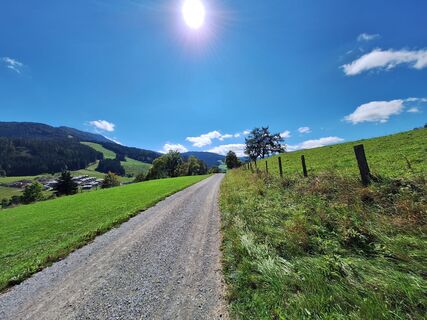
The starting point of the tour is in Mariahof (963 m). Via a path you reach Adendorf (approx. 925 m) and cross the railroad tracks. You pass Schachen and head south to Oberdorf, where you walk between...
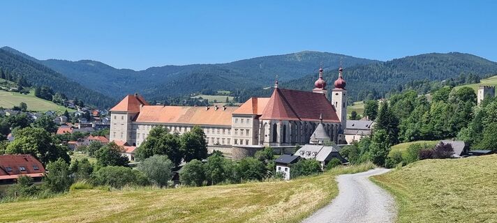
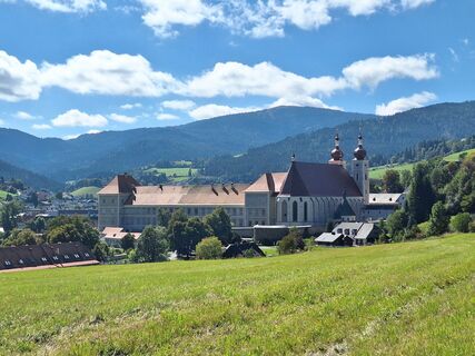
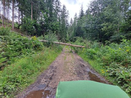
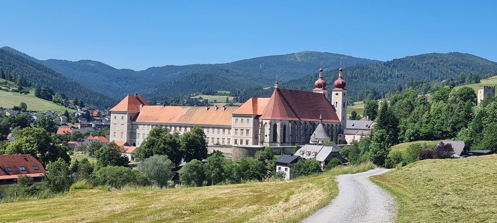
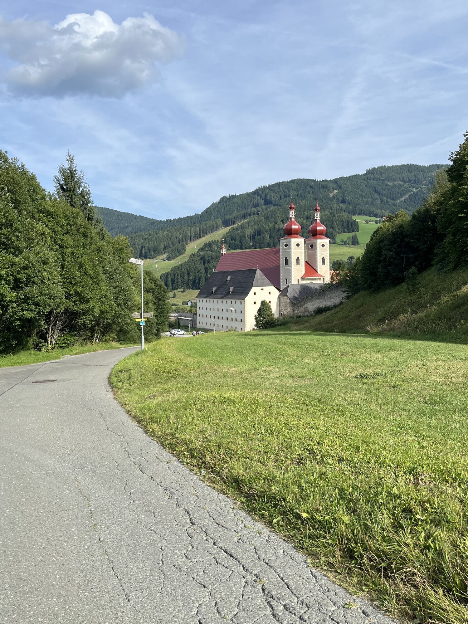
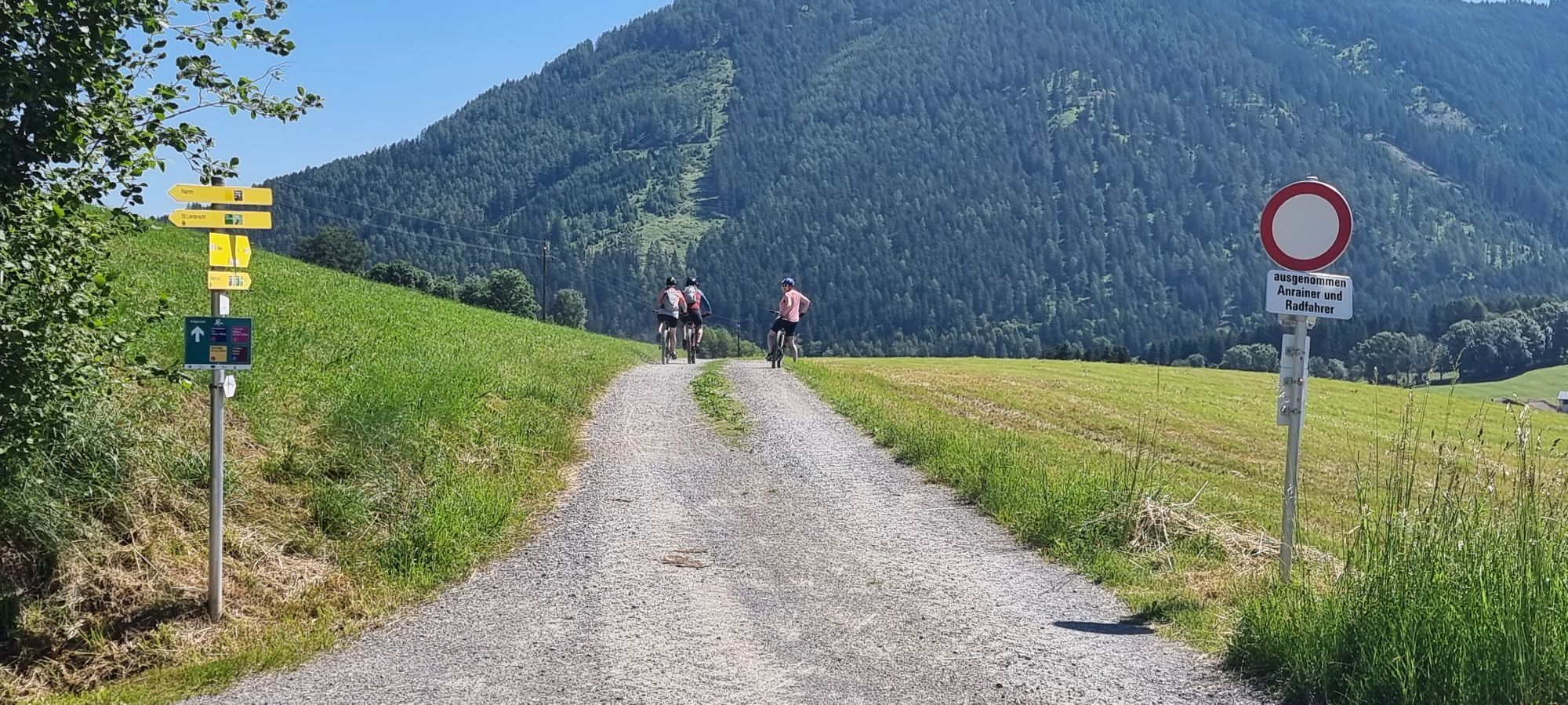
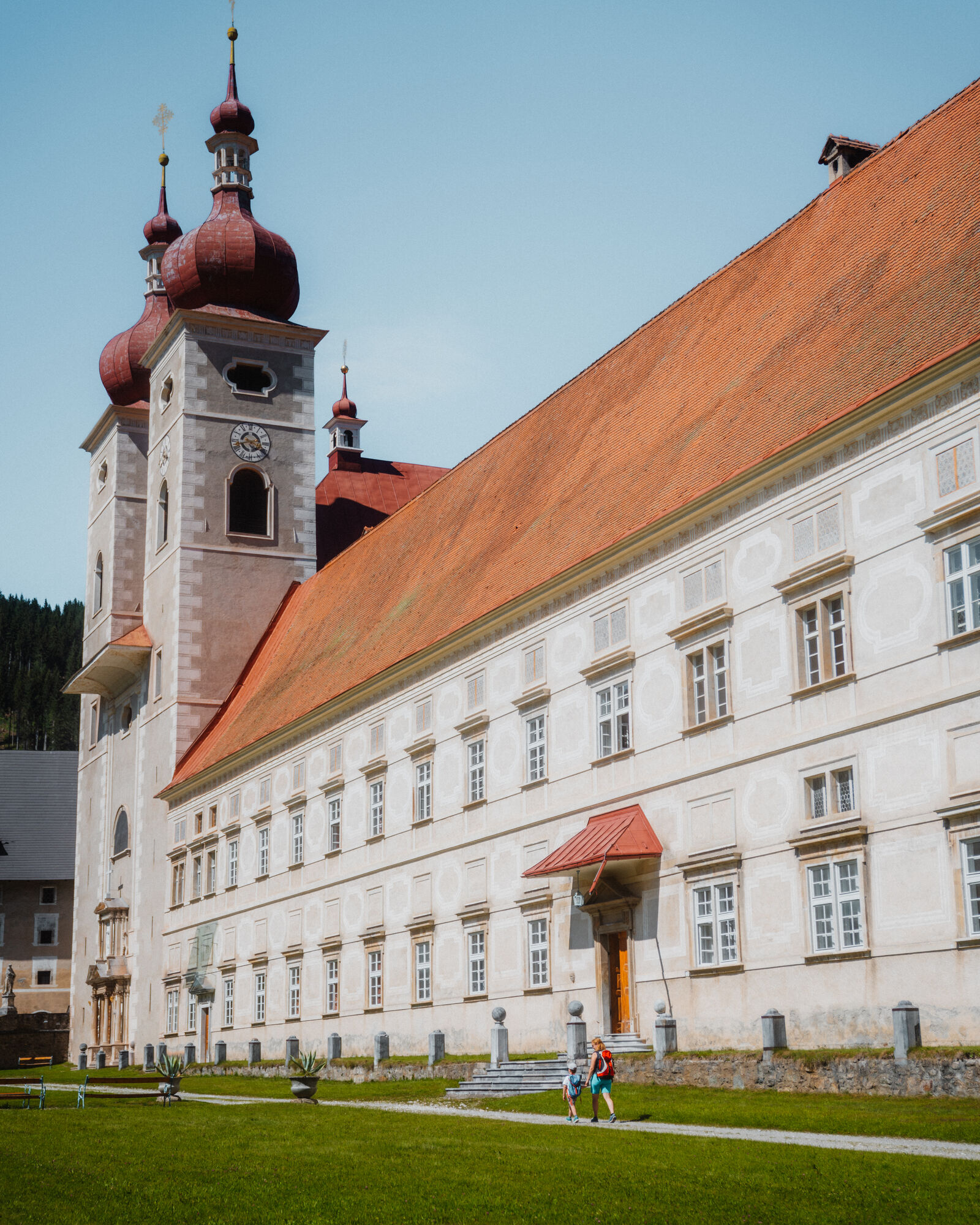
The starting point of the tour is in Mariahof (963 m). Via a path you reach Adendorf (approx. 925 m) and cross the railroad tracks. You pass Schachen and head south to Oberdorf, where you walk between the Ochsenstall and Haslober ponds. The trail continues past the Muhr homestead and through wooded areas to the Podoler pond (1055 m). Once again the trail goes through the forest and passes the Podoler and Schilcher farmsteads before reaching the main road. Pass the bus stop "Villa am Forst" (949 m), cross the road and walk along it for about half a kilometer in the direction of Mariahof. Then follow the sign "Gehöft Schaffer im Forst". A forest path leads down into the Thajagraben. After crossing the stream, you pass several farms (on the right bank of the stream you can see small earth pyramids). On the way you pass the "Moar zu Lessach", a farmstead with numerous paintings. You pass Felberg and the farmsteads Riedlmoar and later "Wirt am Pichl" before you reach Heiligenstadt (1044 m). Via the little road - passing the entrance of the gorge - you reach the end point of the Ice Age Trail: St. Lambrecht (1028 m).
Possible combinations/ variants:
You can also shorten the hike by having a nature park bus or cab pick you up.
Restaurant Knappenwirt in Mariahof; There are numerous places to stop in St. Lambrecht.
Áno
Áno
good footwear, possibly food, rain protection
From Unzmarkt, via Scheifling to Mariahof. Here turn right in the direction of St. Lambrecht.
Obľúbené výlety v okolí
-
4,4
4 Seen Wanderung
svetloTuristika 7,65 km -
4,8
Murau - Frauenalpe
strednáTuristika 15,4 km -
4,6
Höhenweg Scharfes Eck
strednáTuristika 6,18 km -
4,3
Weg zum Stolzalpengipfel
strednáTuristika 17,2 km -
5,0
Kuhalm
strednáTuristika 16,8 km -
4,7
Schitour Grebenzen
strednáSkitour 8,66 km -
5,0
Grebenzen Runde
strednáTuristika 13,7 km -
4,5
Zeutschacher Ursprung and Graggerschlucht
svetloTuristika 7,73 km -
4,6
Steinschloss Rundwanderweg
strednáTuristika 6,31 km -
4,8
Gragger Schlucht und Jakobi Kirche,Sankt Marein bei Neumarkt
svetloTuristika 12,8 km
Turistika a stopovanie


Nenechajte si ujsť ponuky a inšpiráciu na ďalšiu dovolenku
Vaša e-mailová adresa bol pridaný do poštového zoznamu.