





"Sellaronda" MTB Clockwise
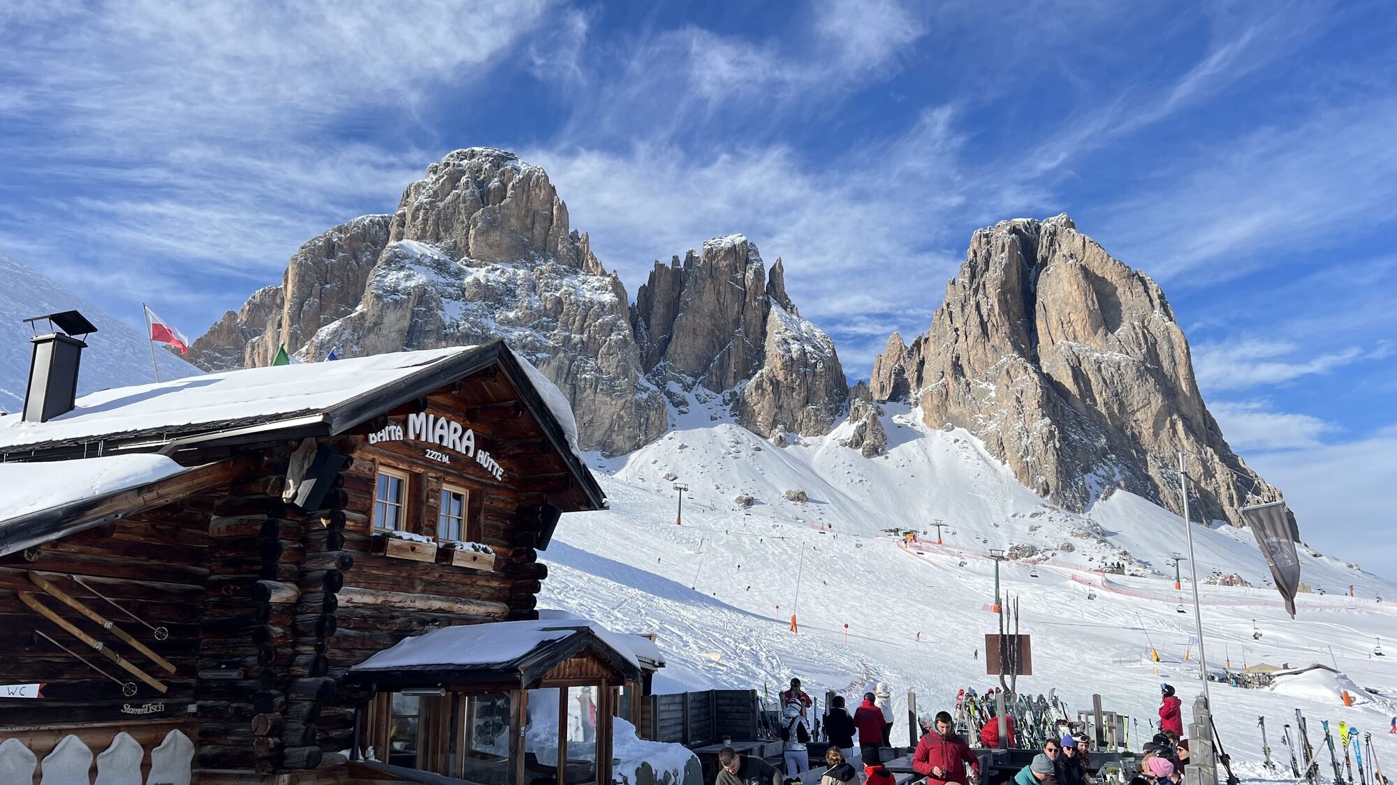
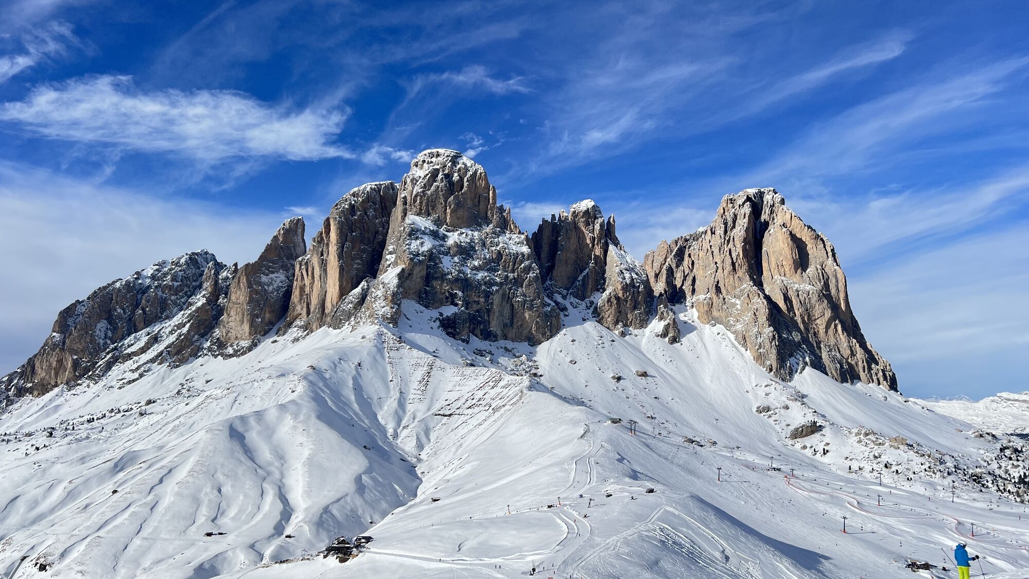
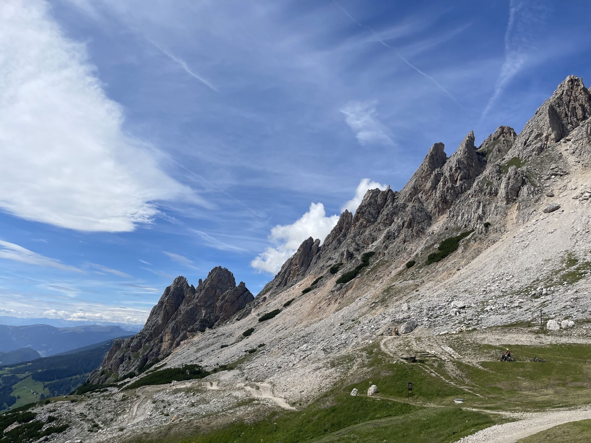
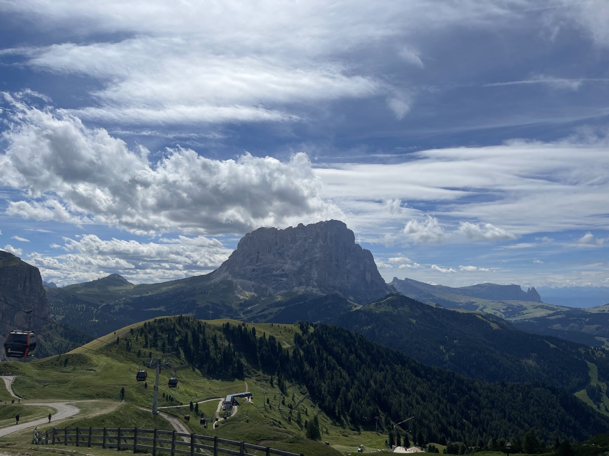
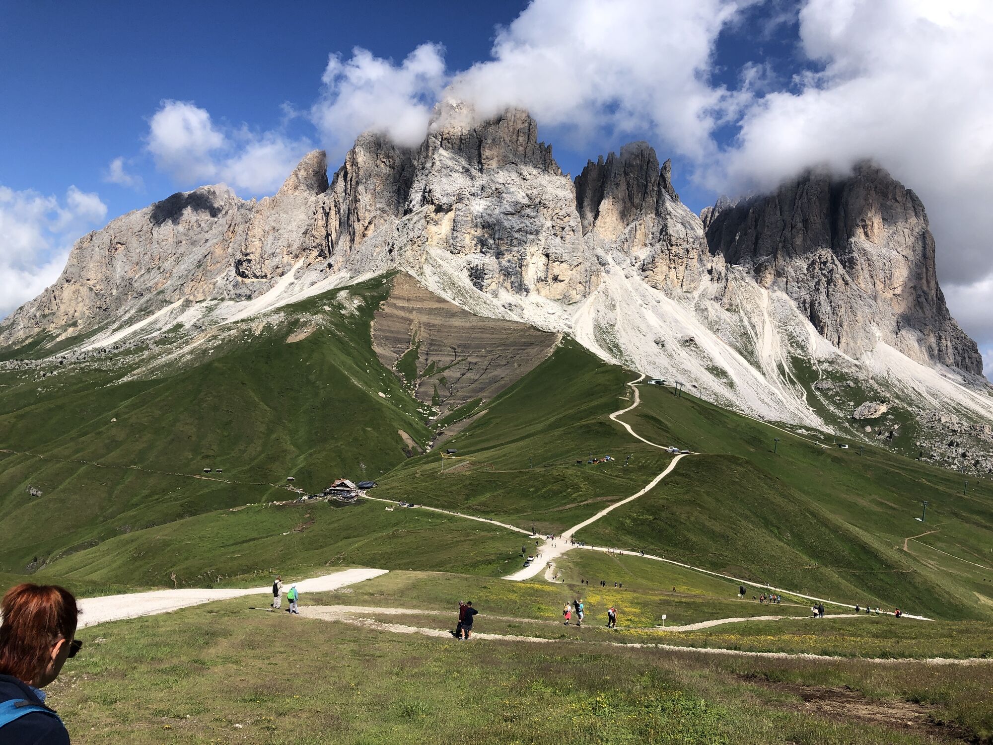
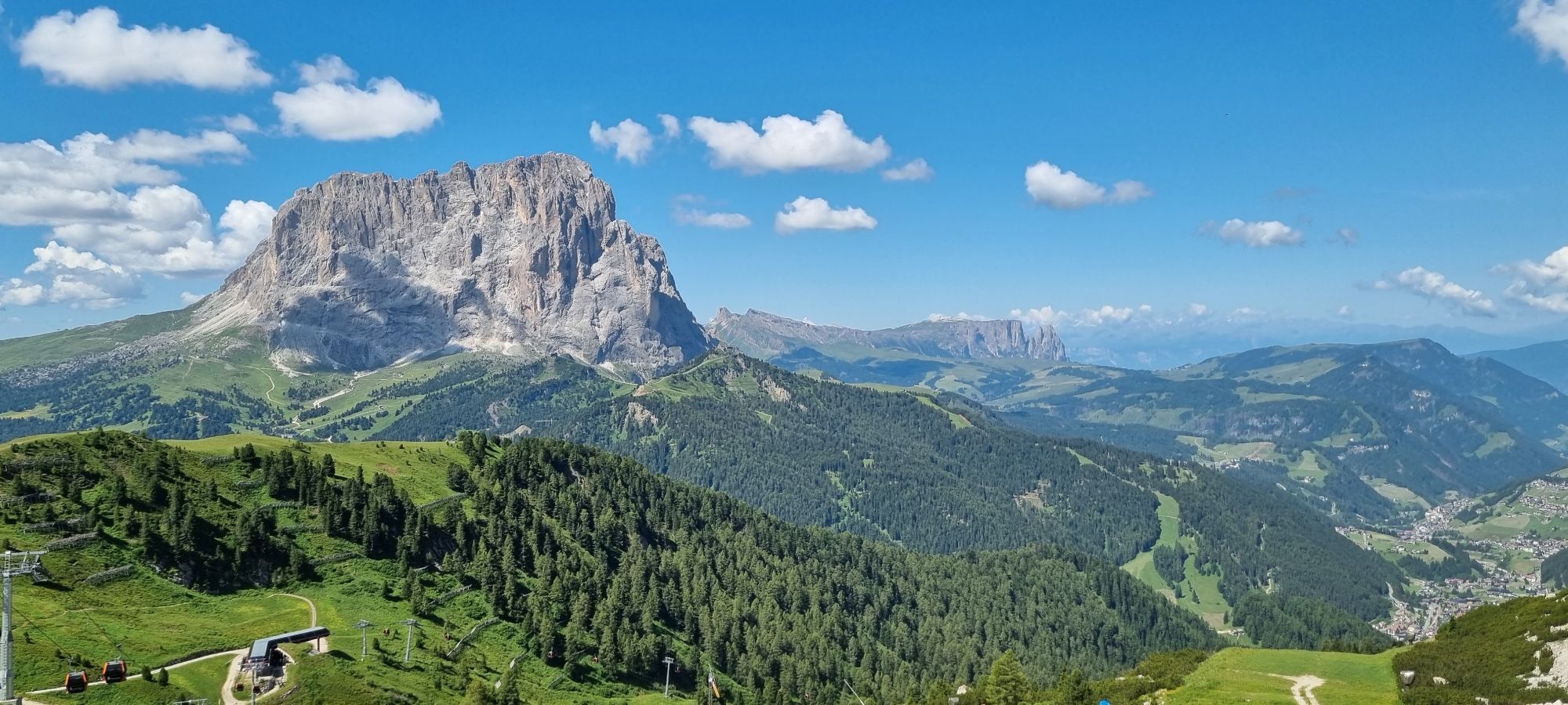
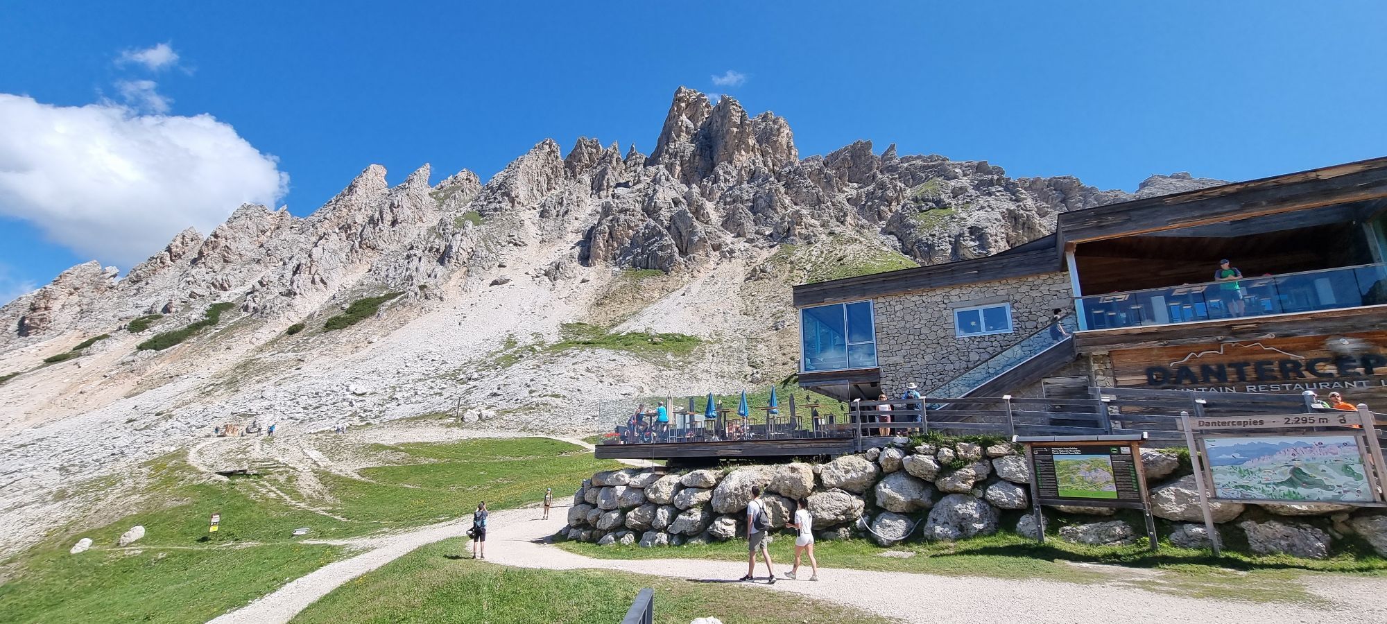
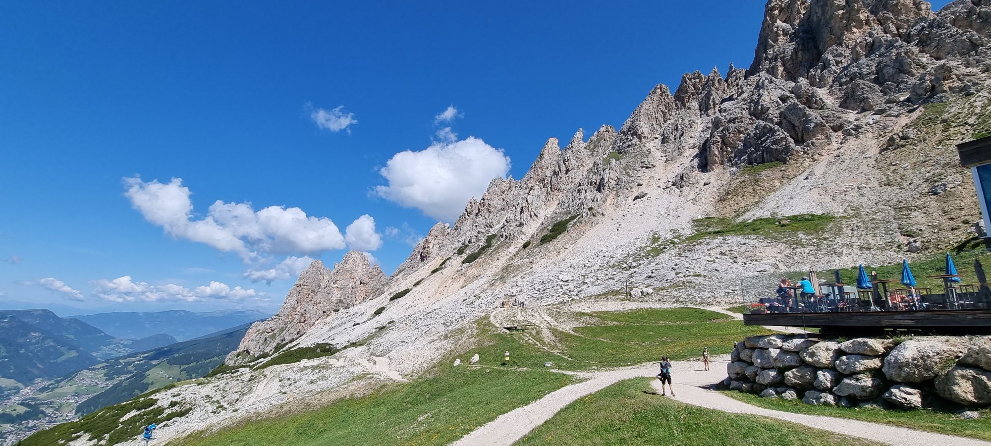
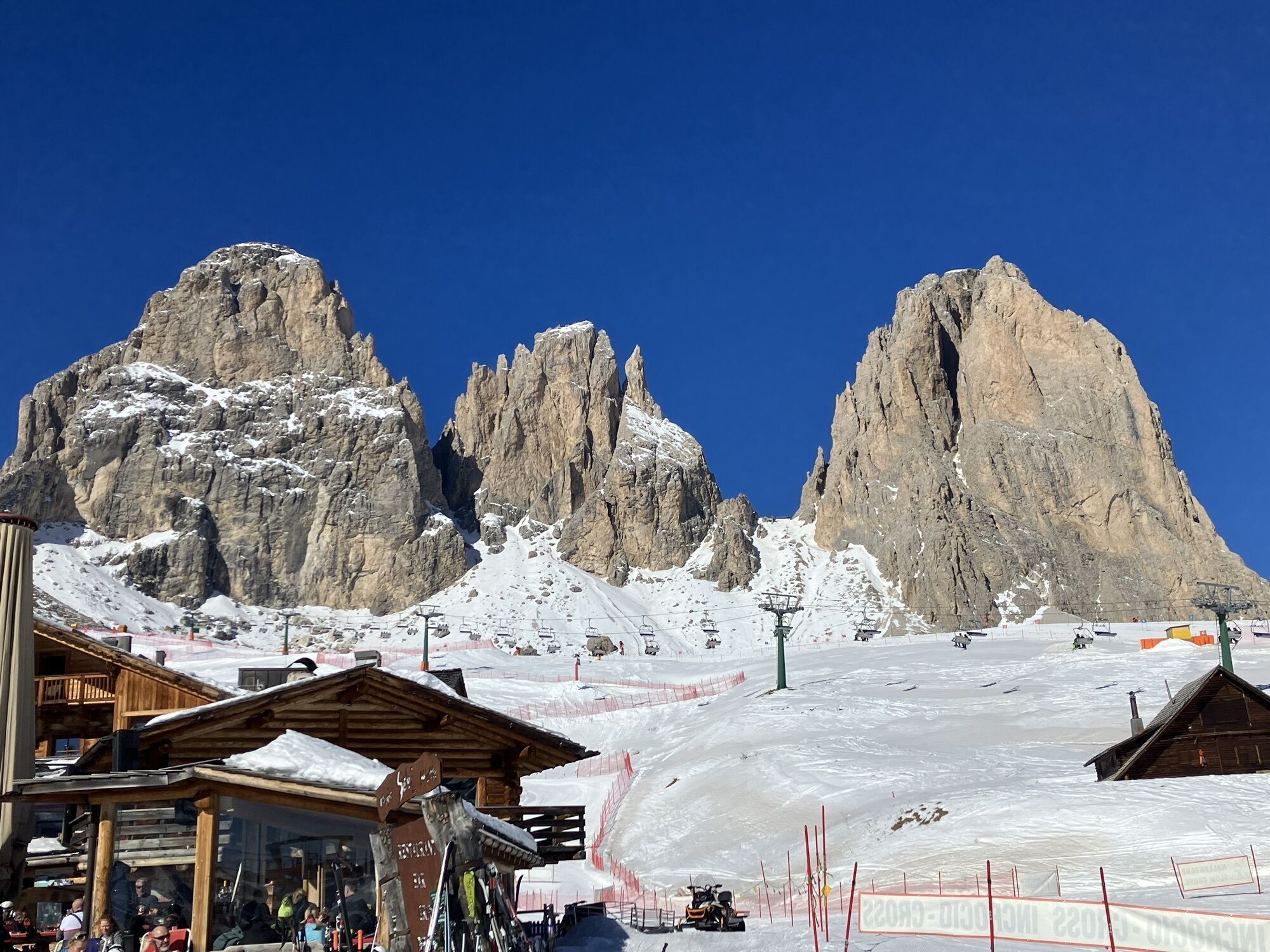
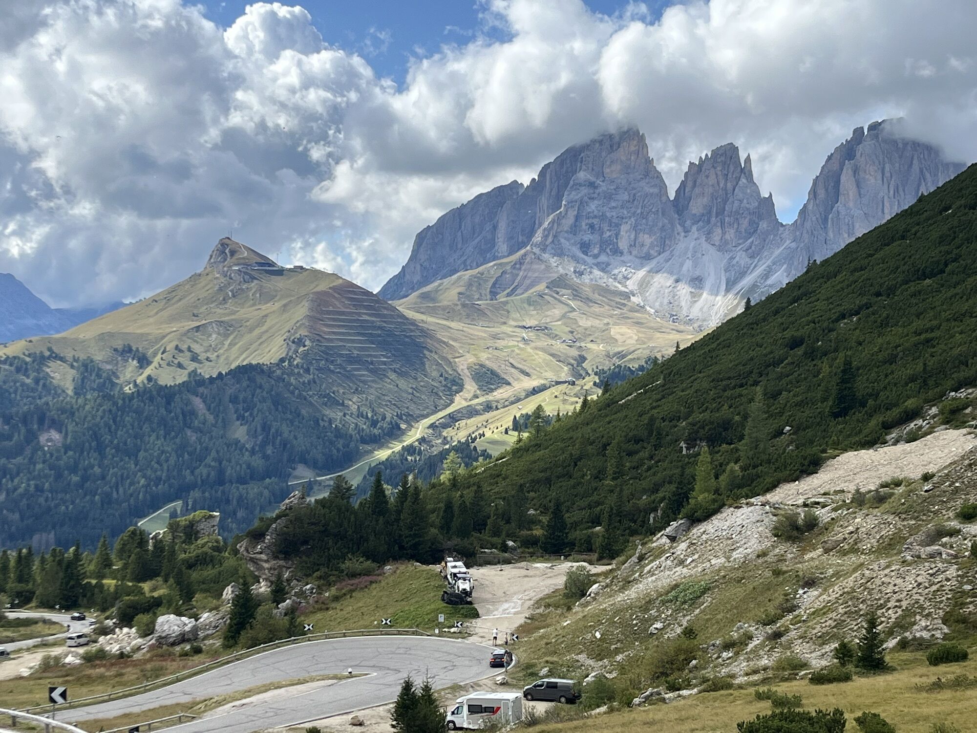

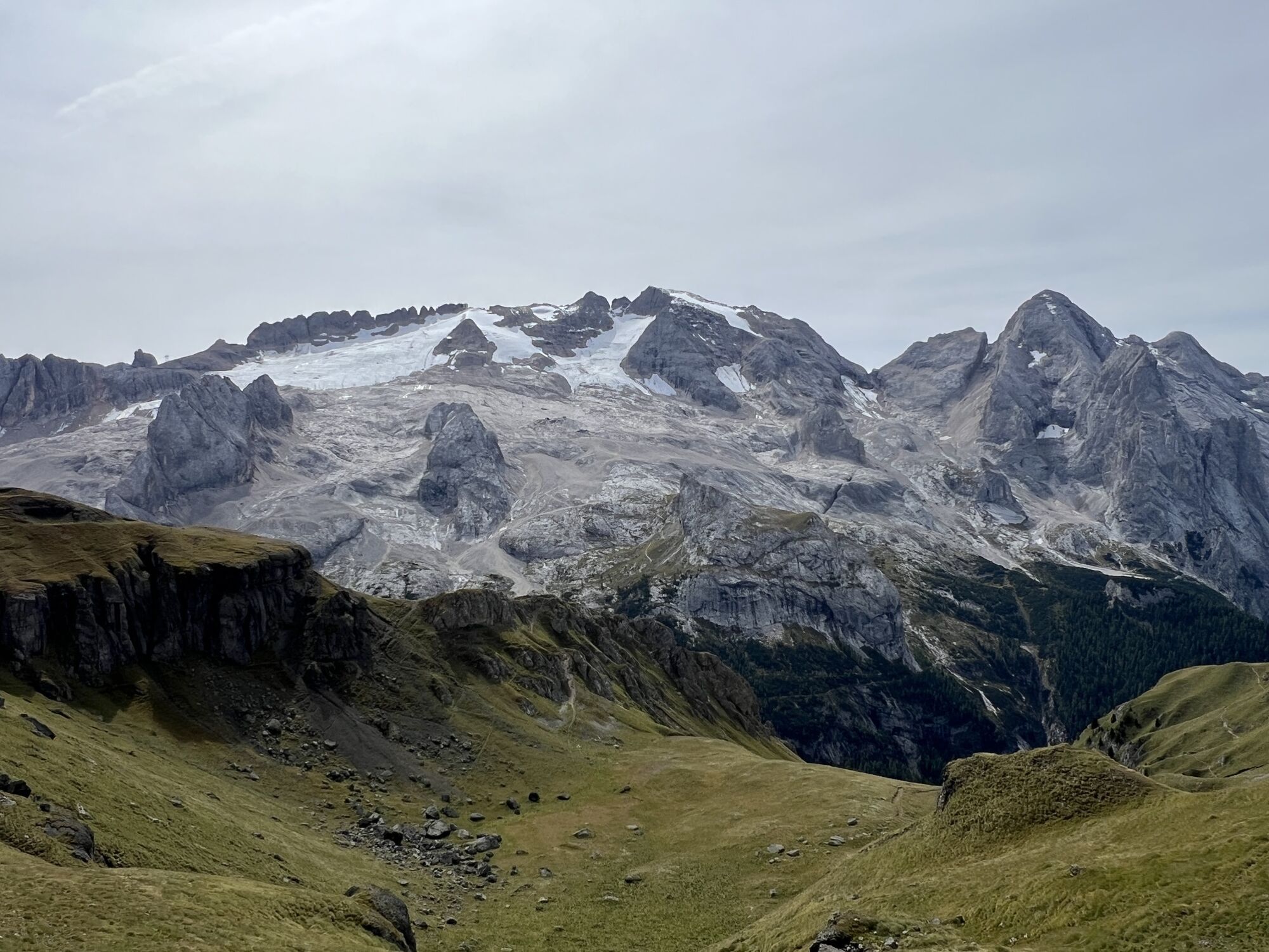
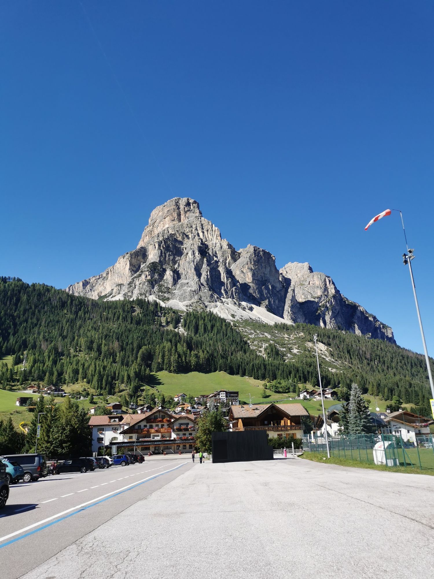
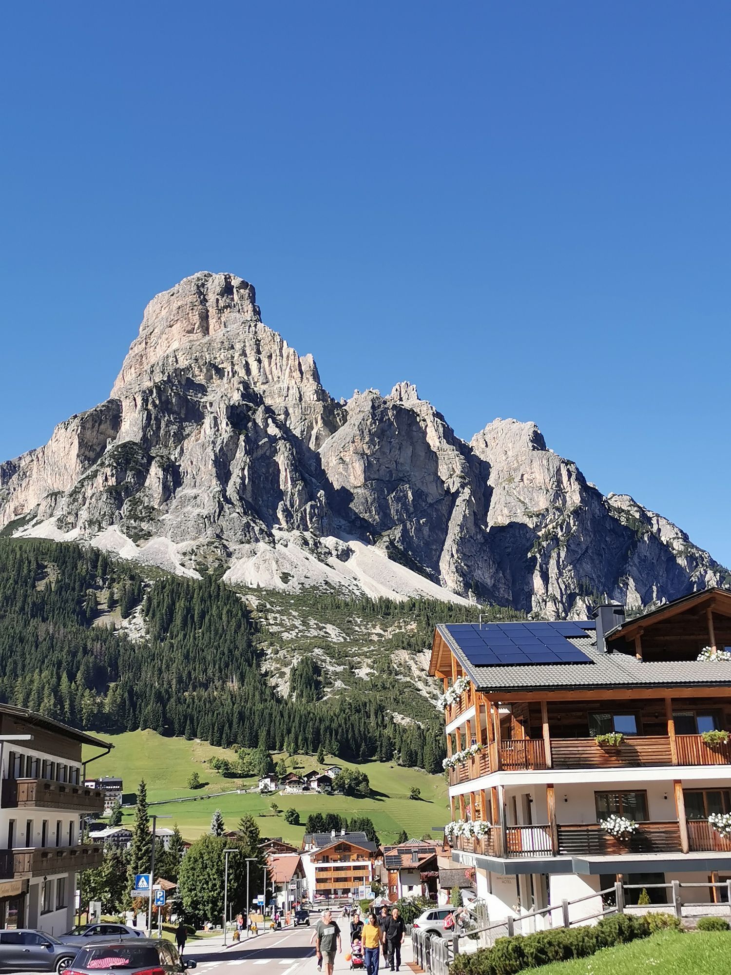
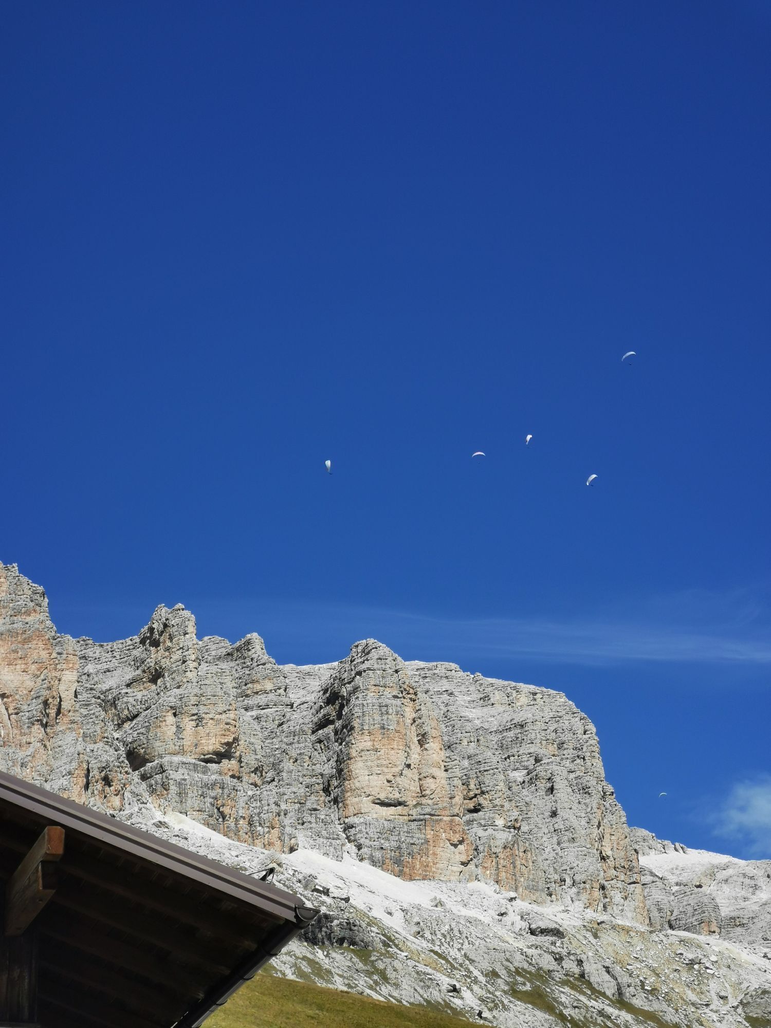
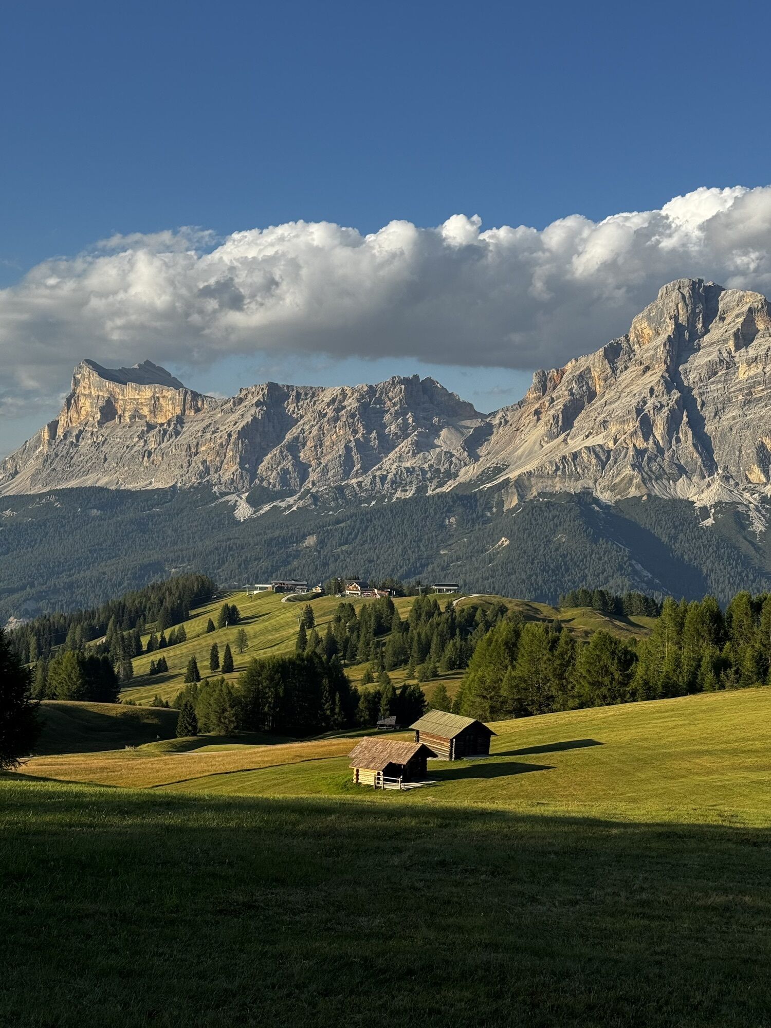
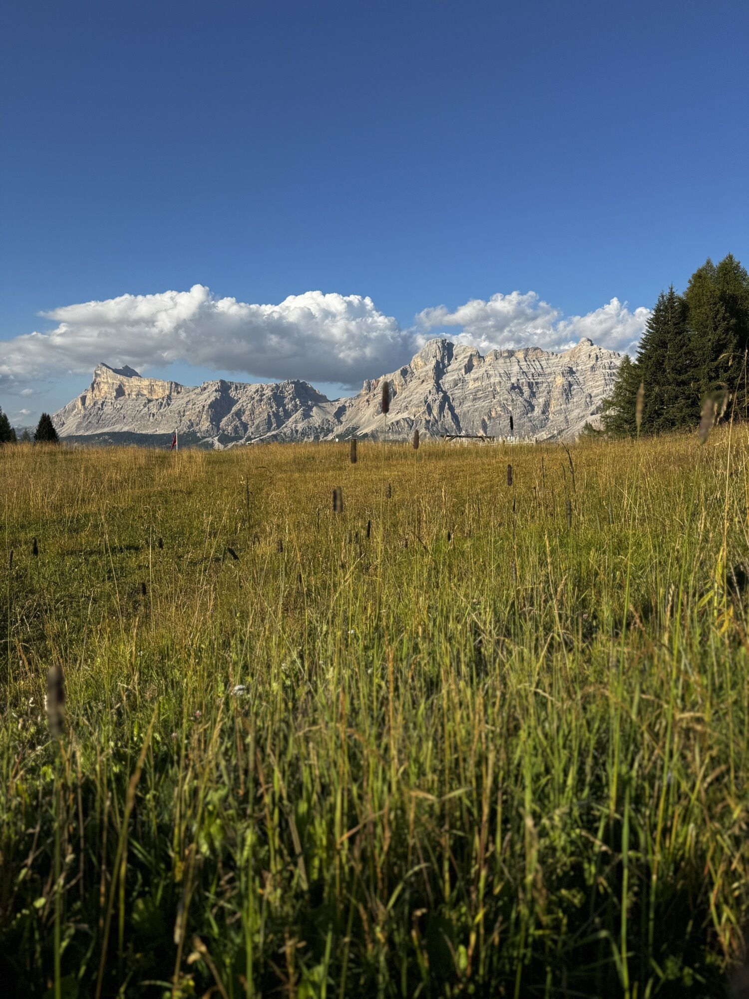
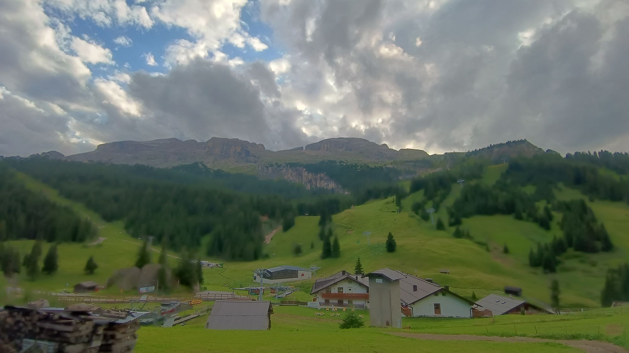


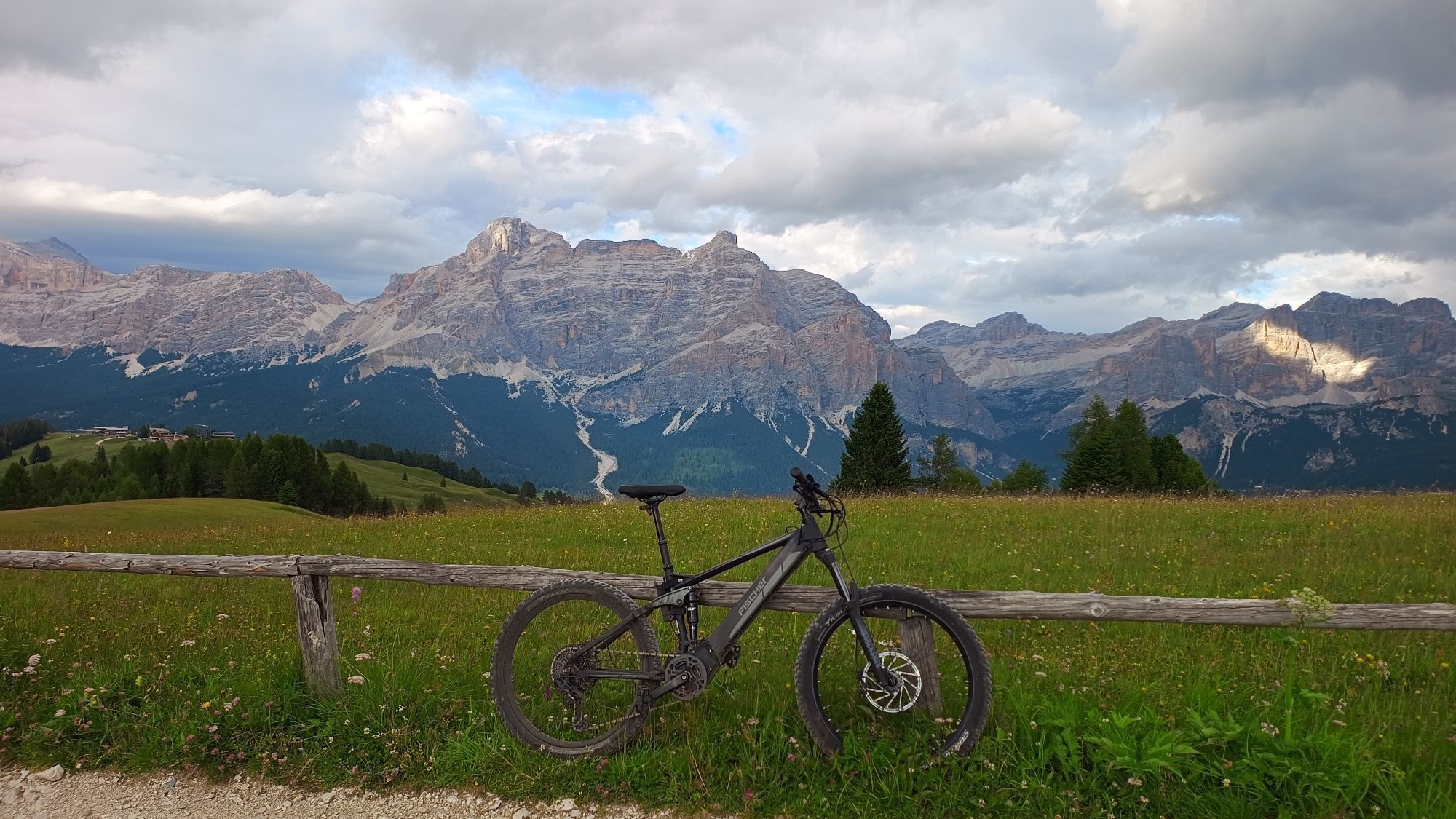
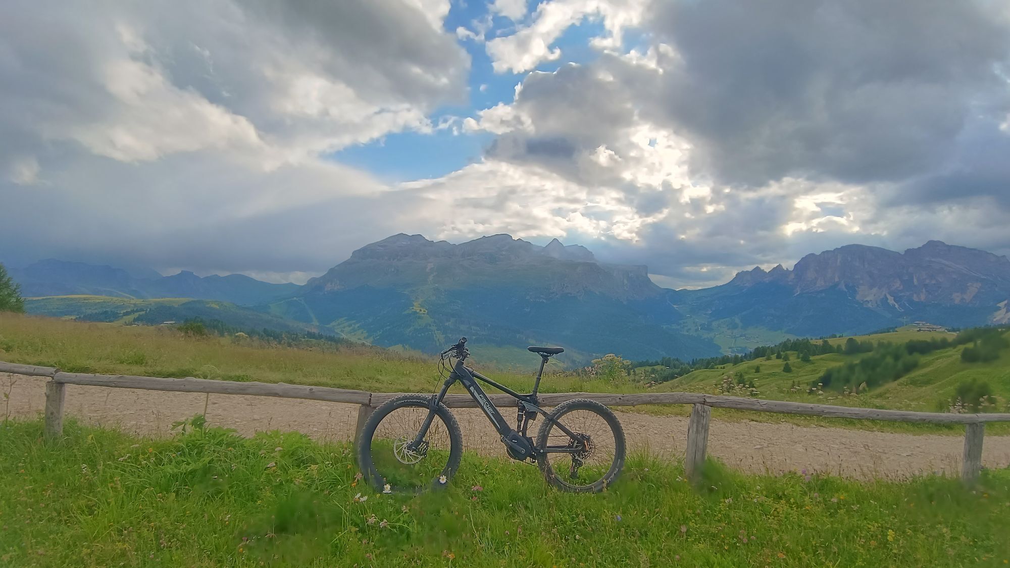
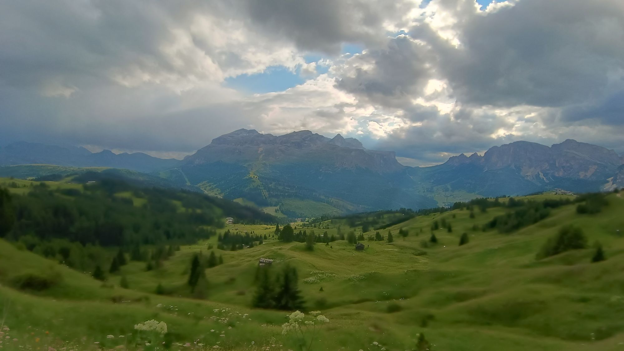
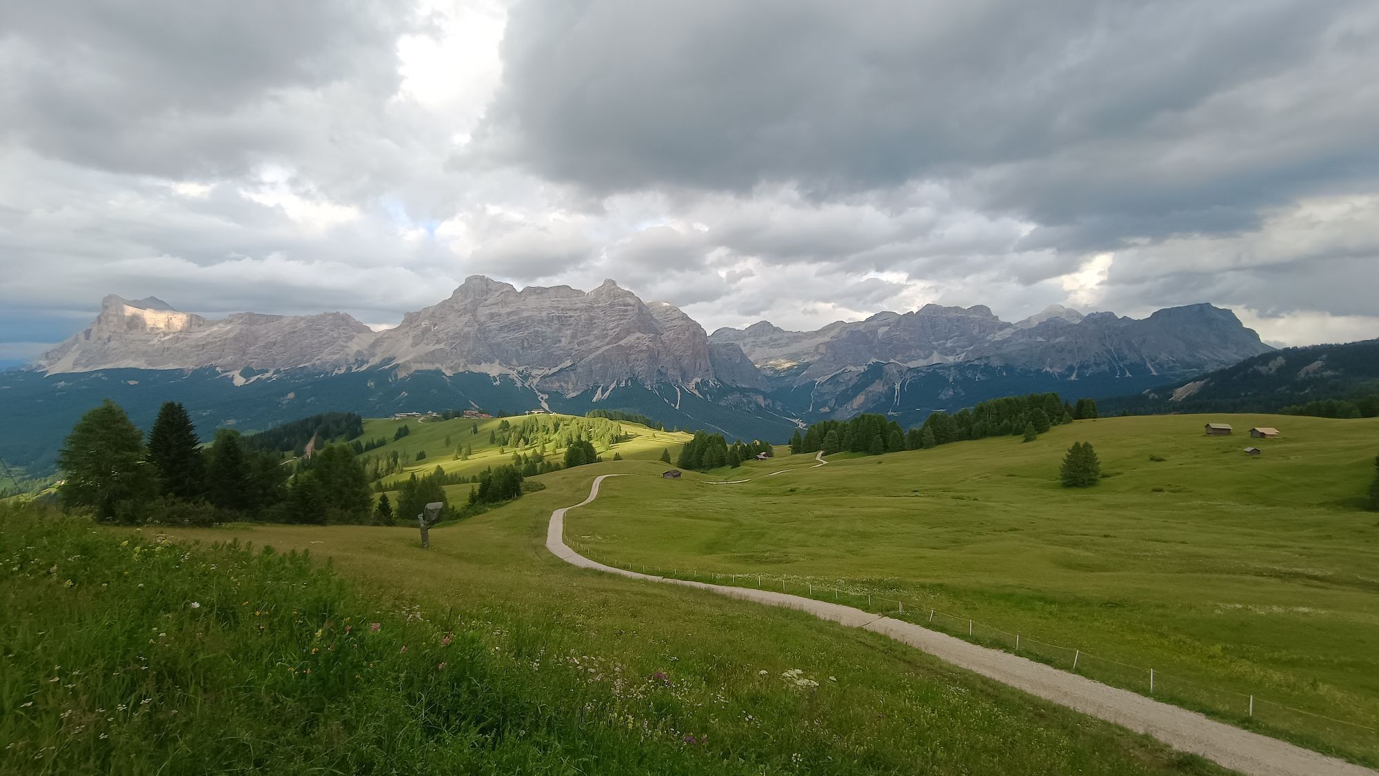

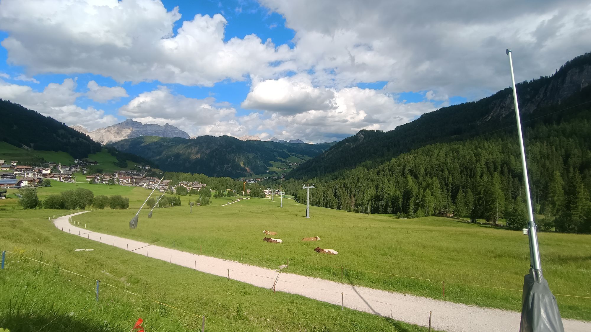
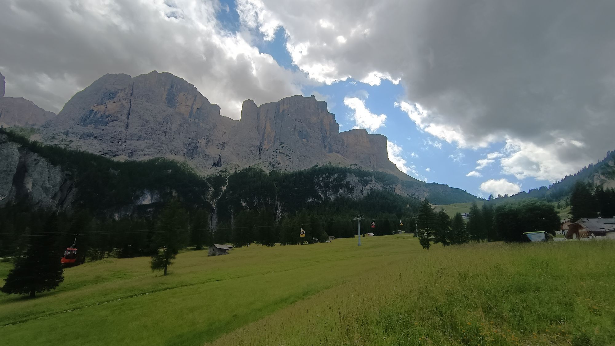
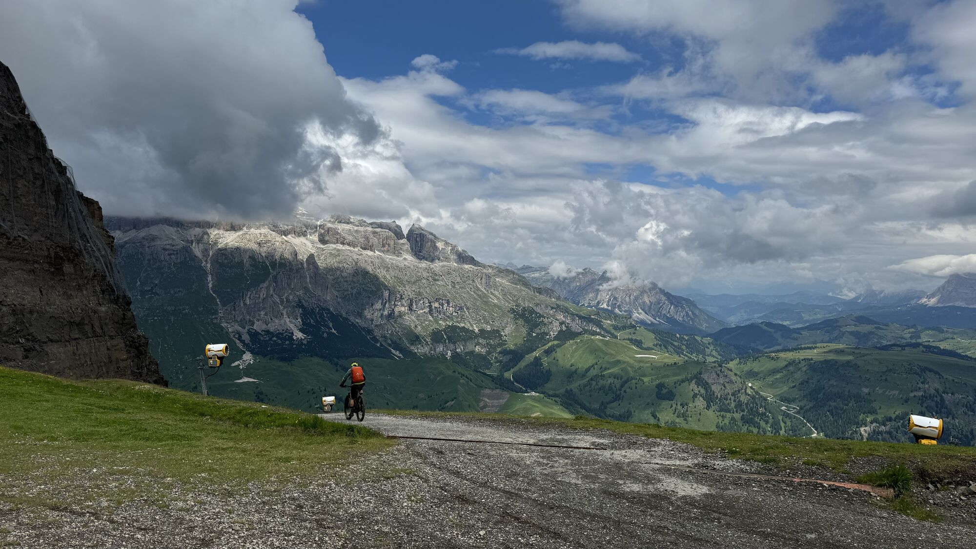

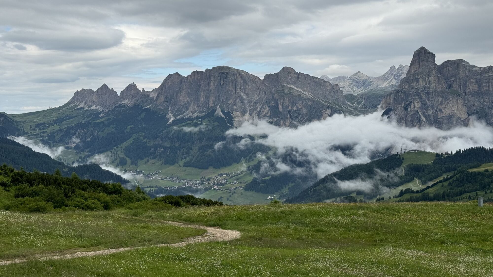
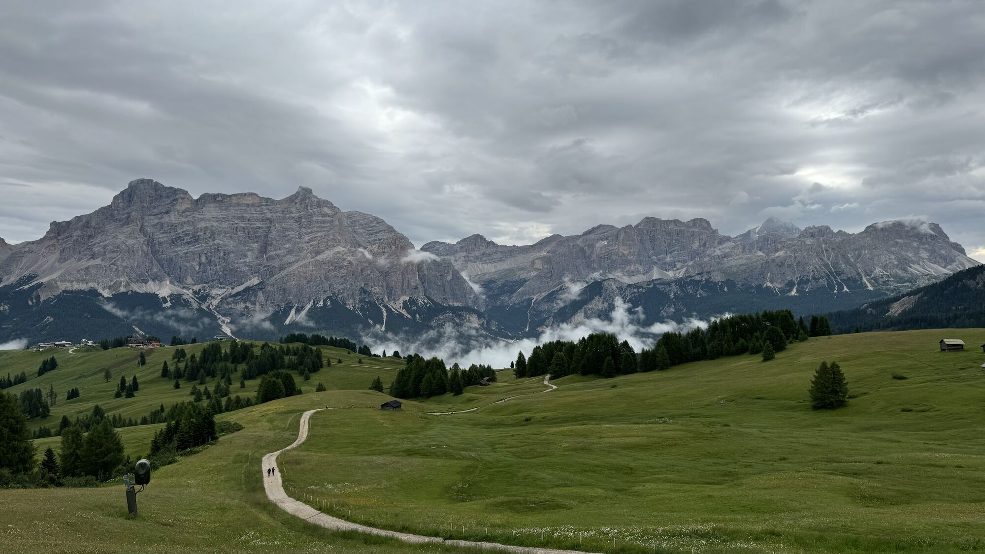
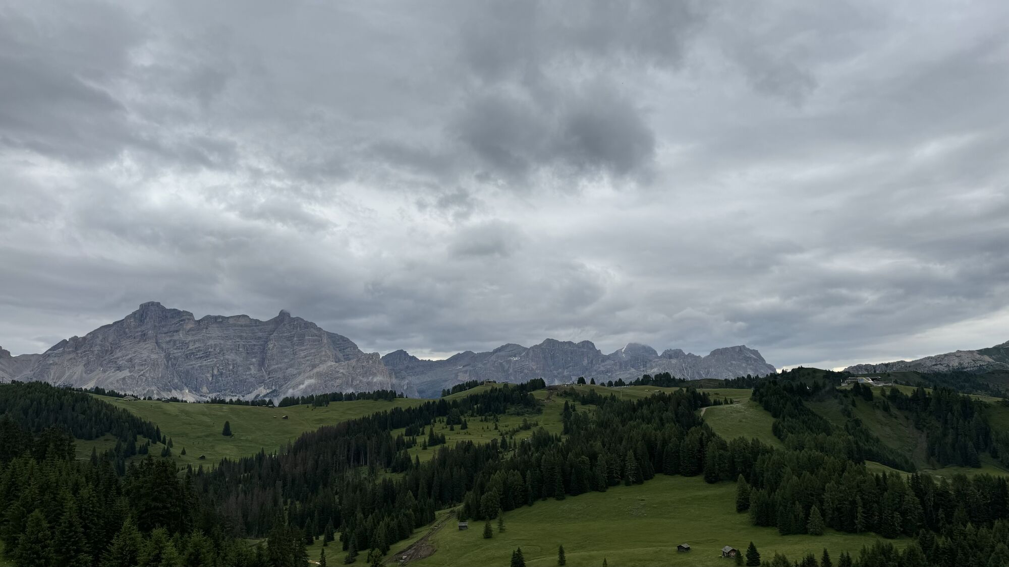
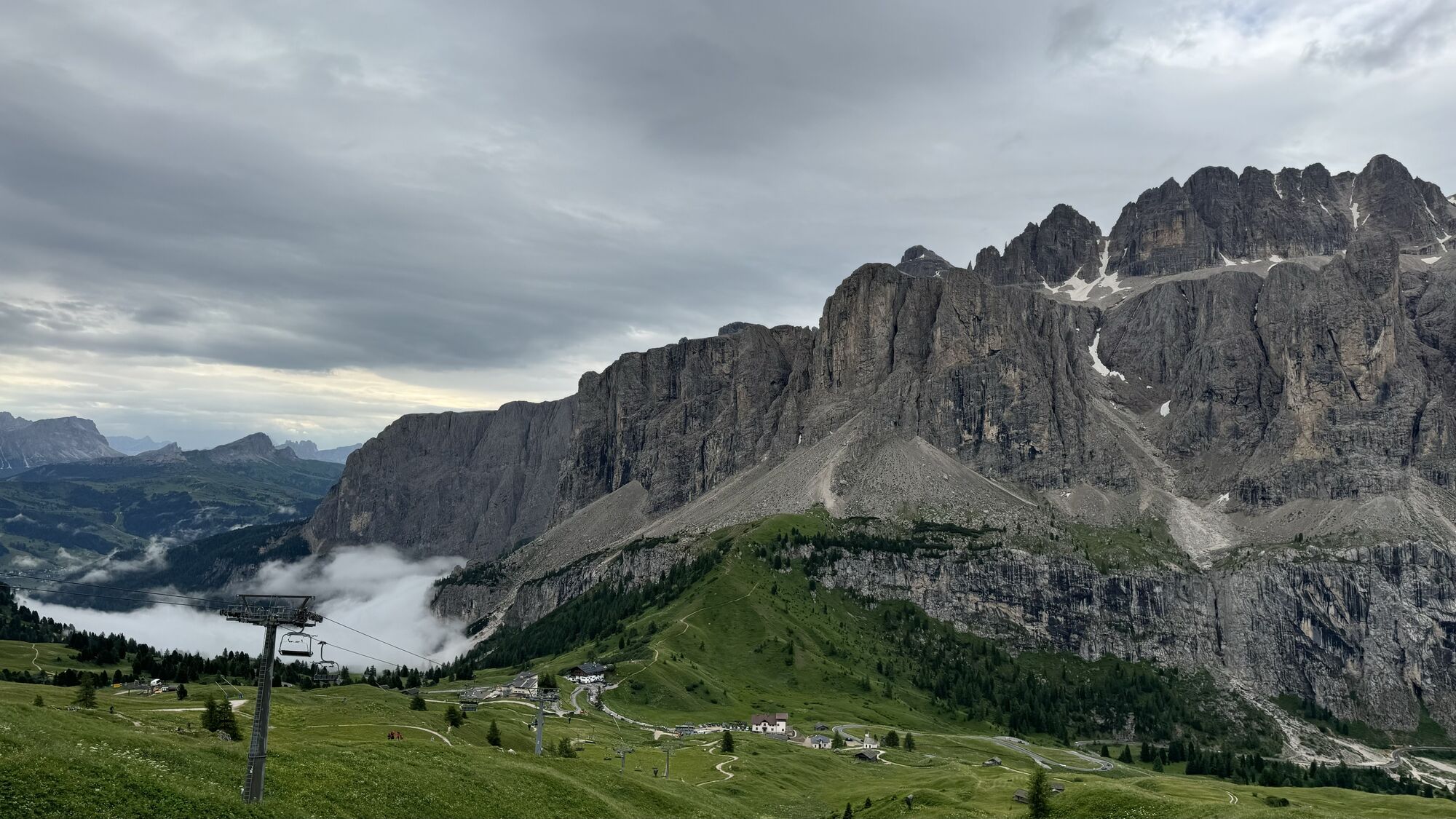
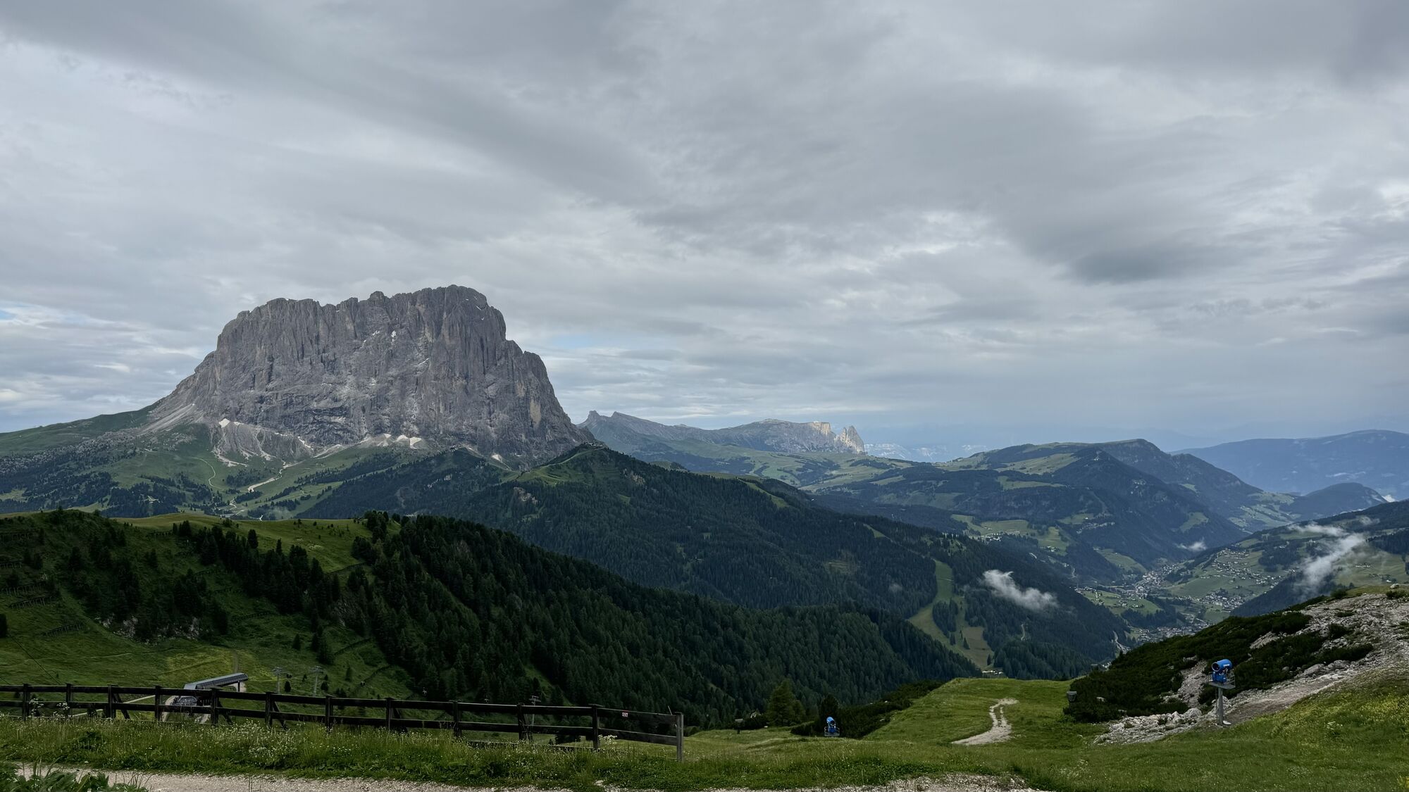
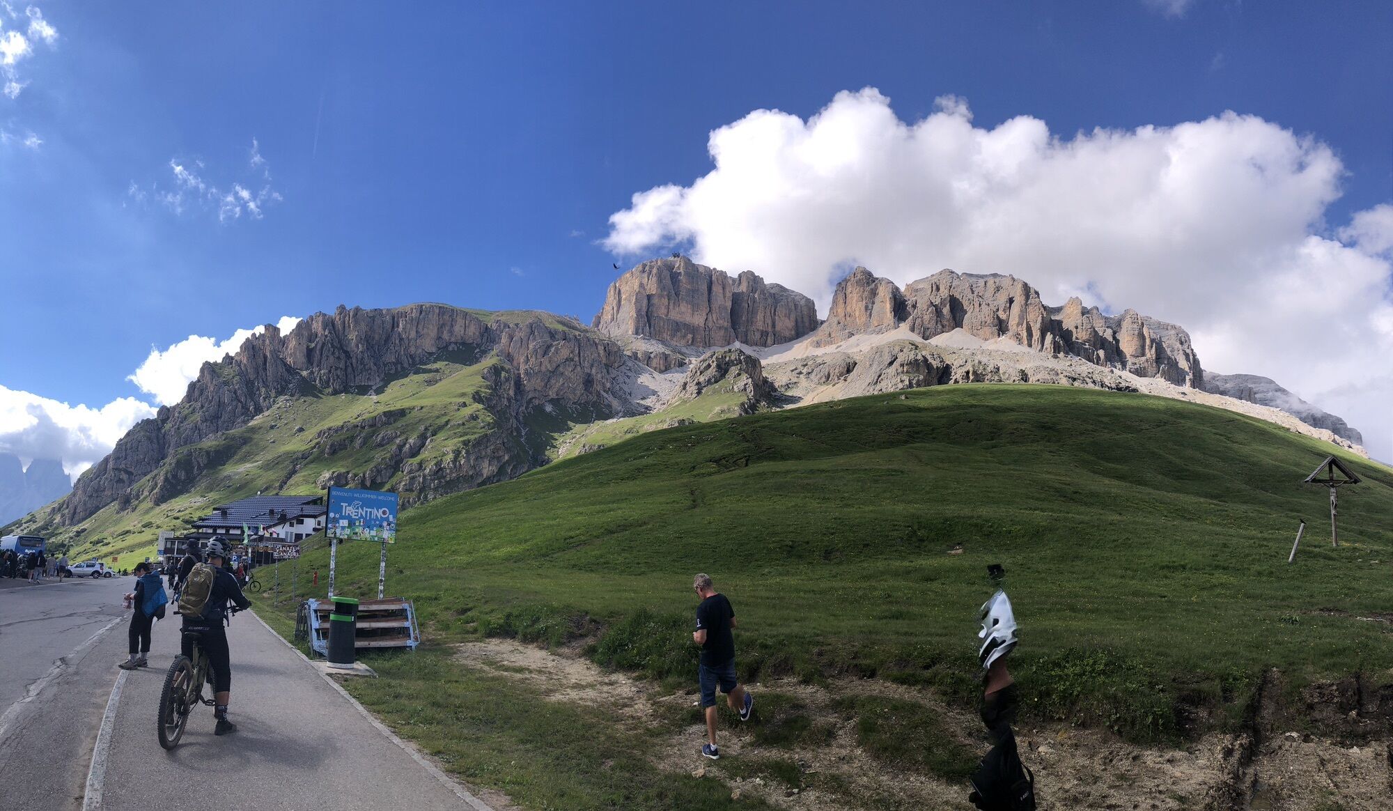
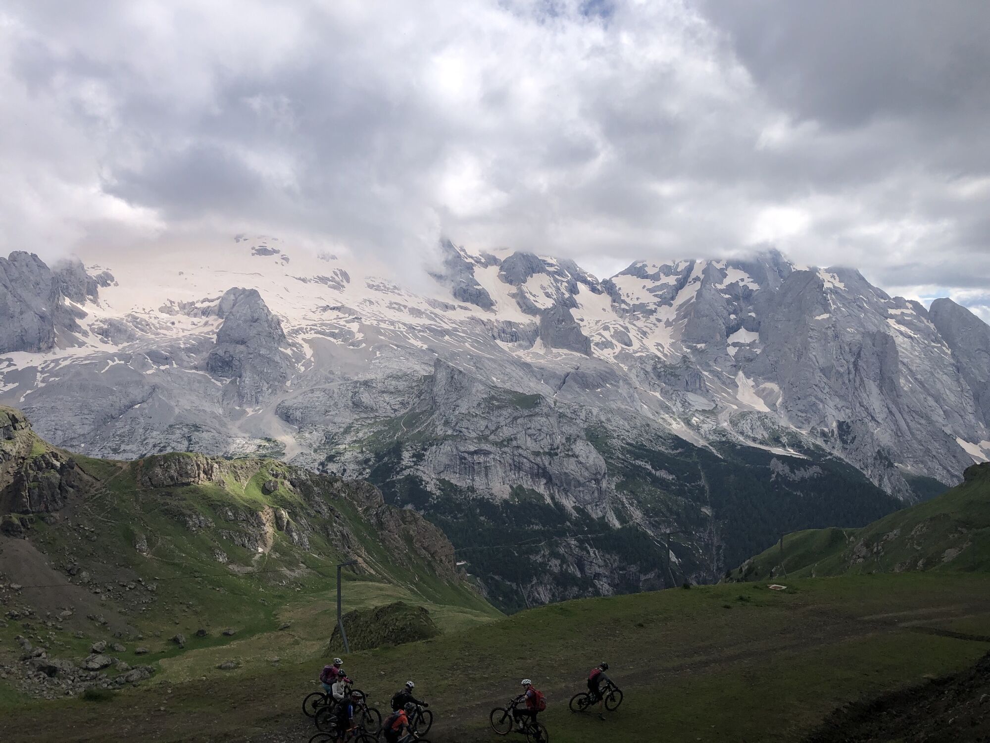
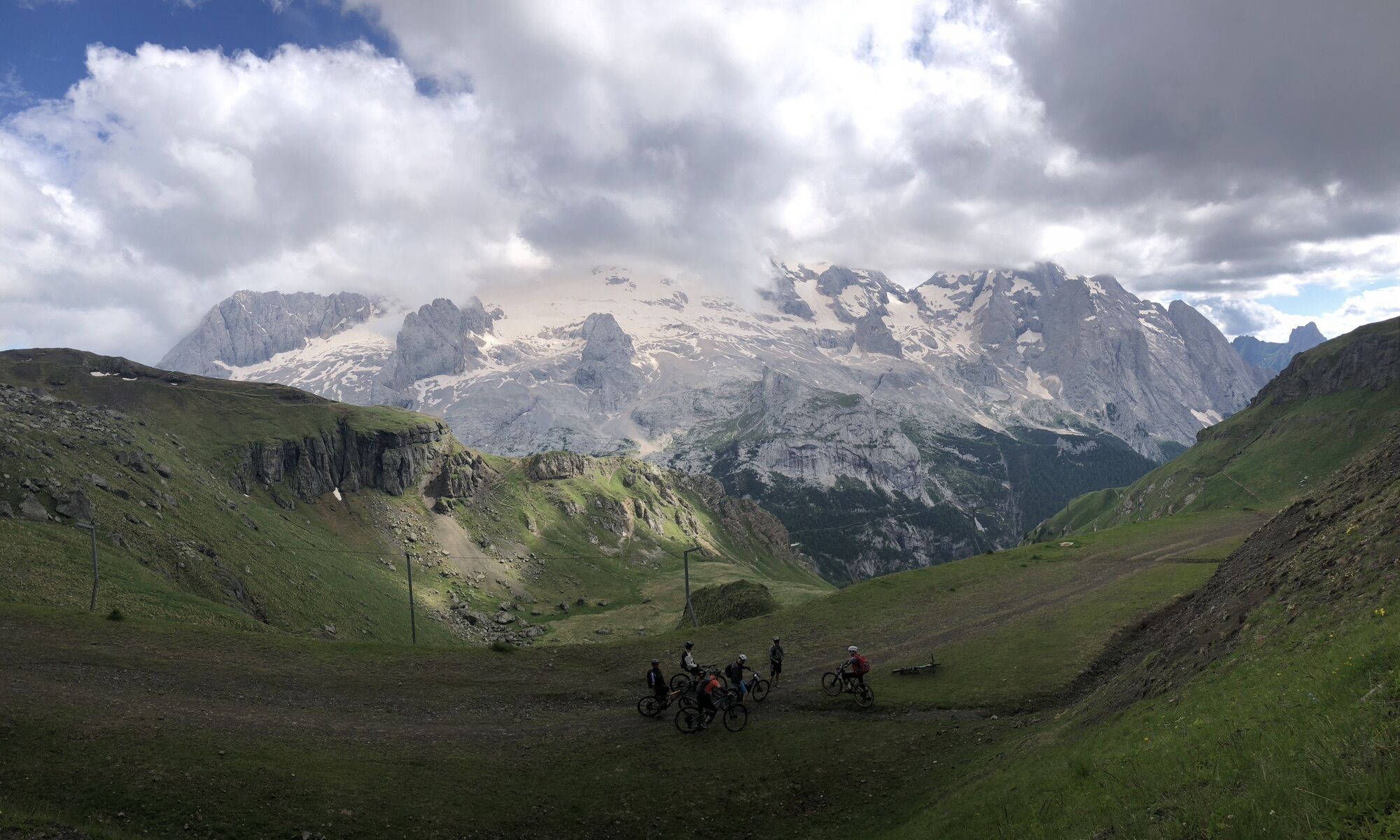
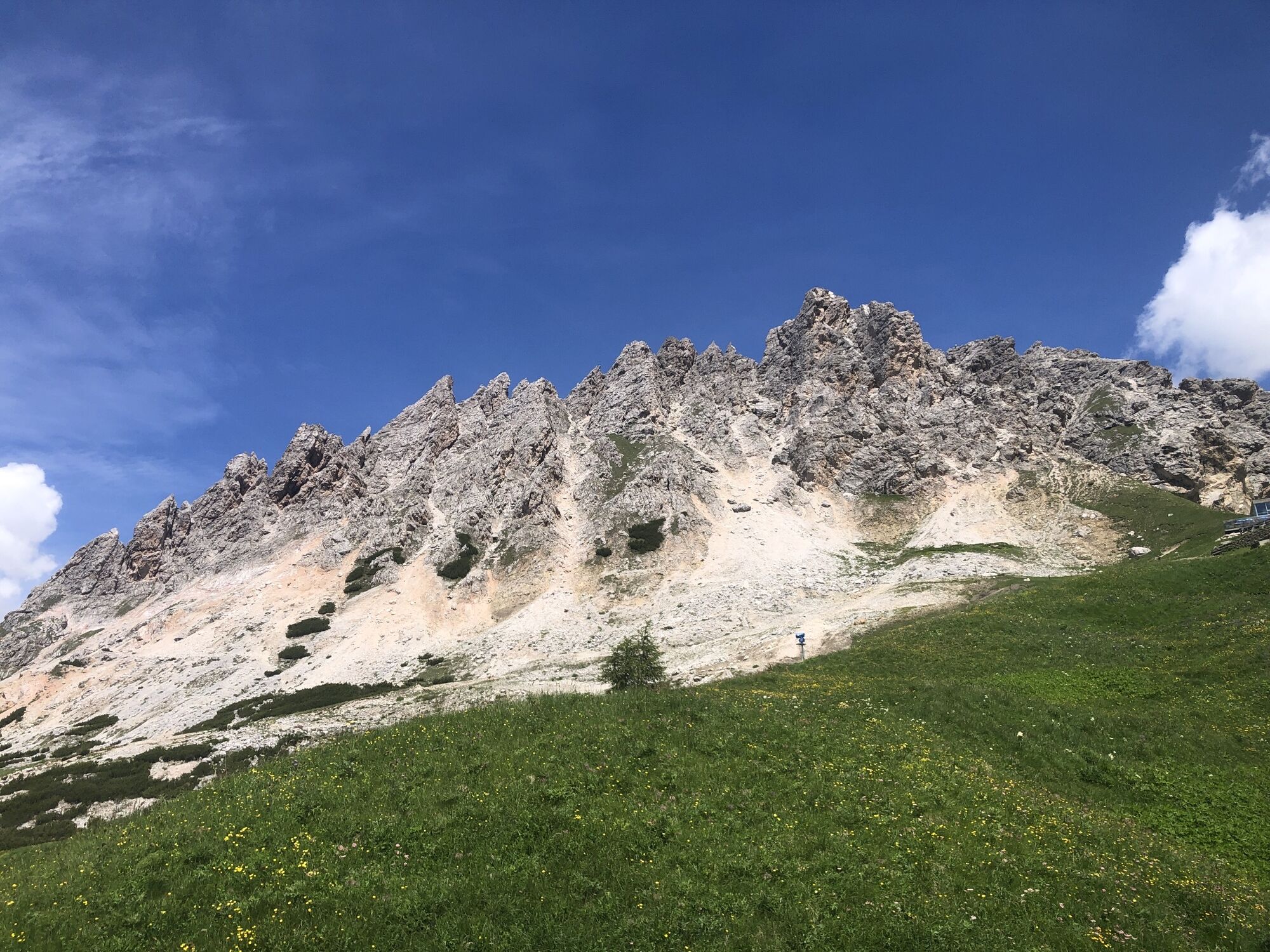
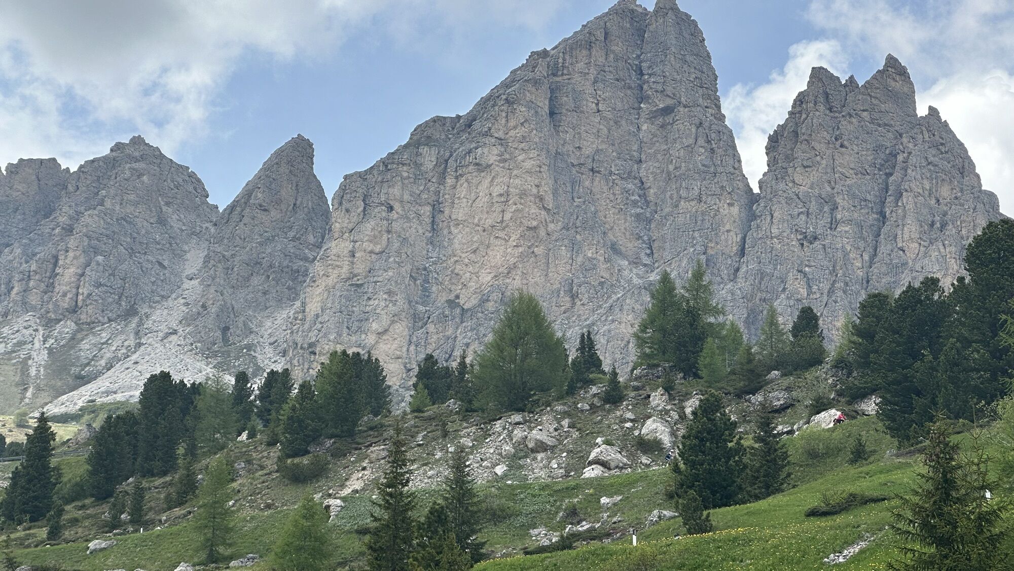
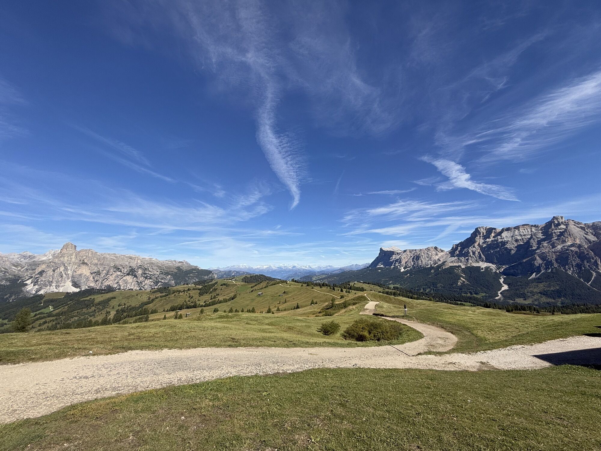
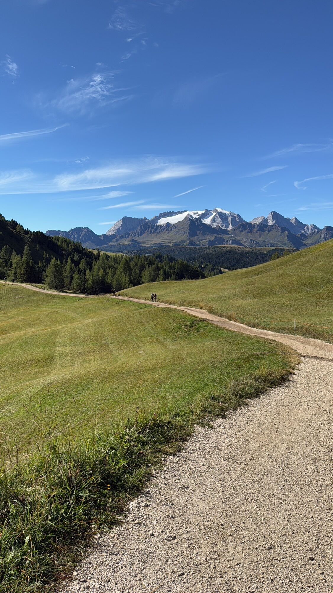
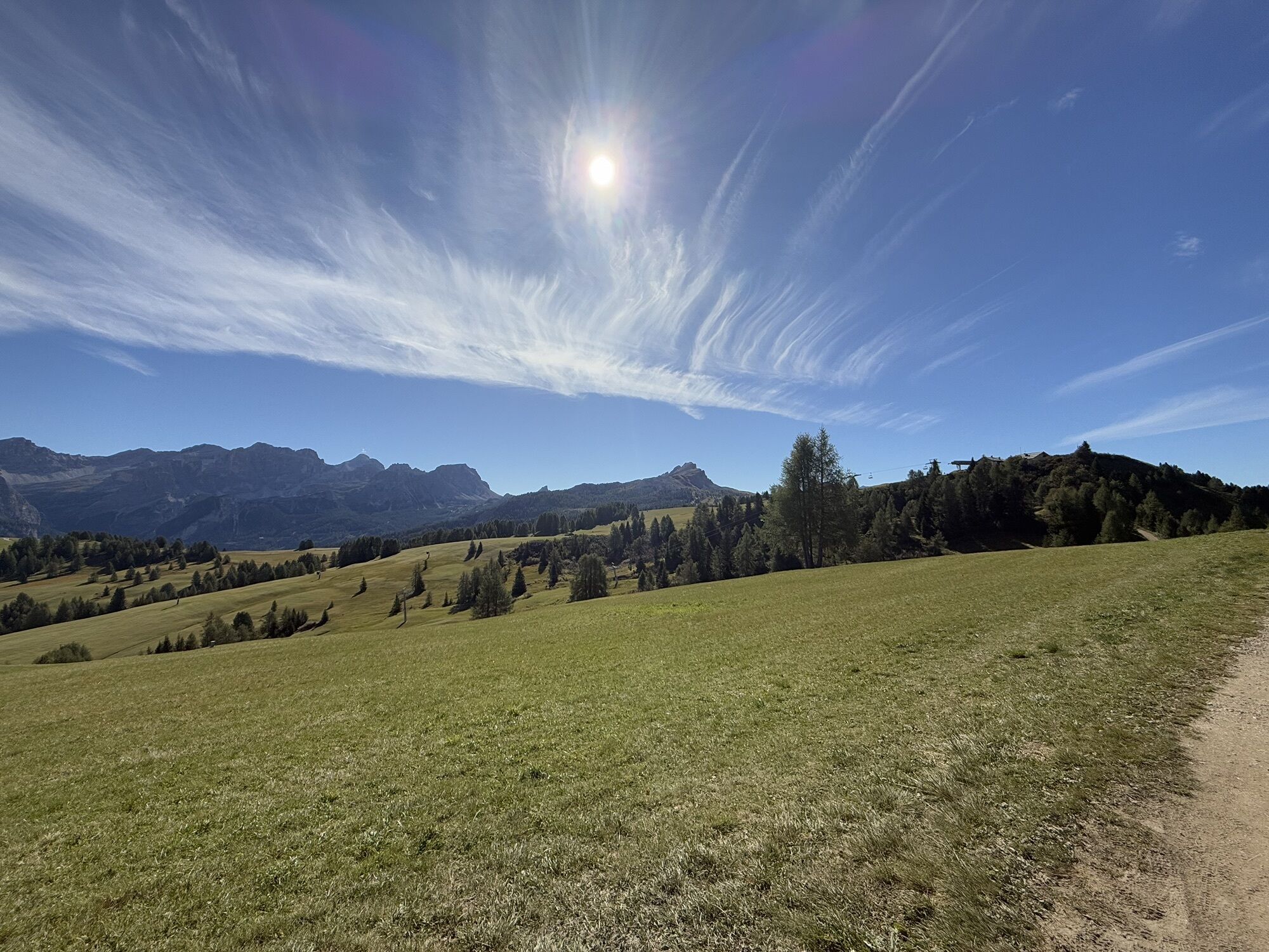
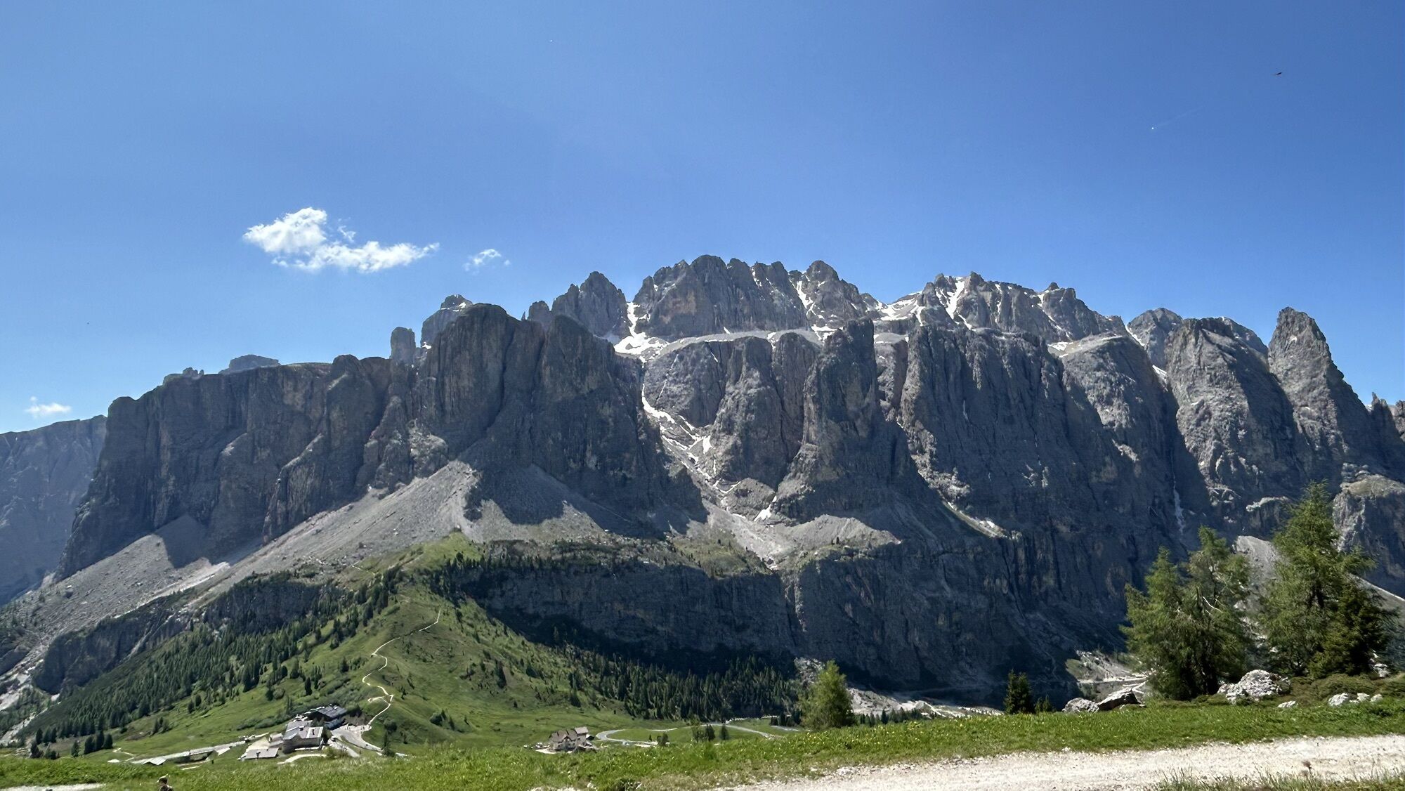
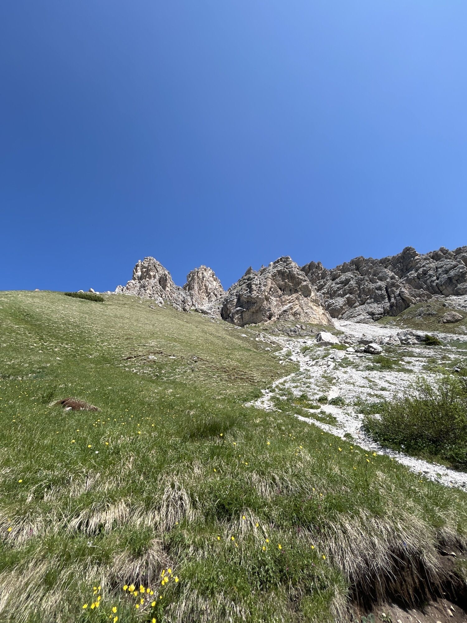
Thanks to the use of the ski lifts, it is easier to reach the Dolomite passes "Val Gardena", "Campolongo", "Pordoi" and "Sella", and then enjoy a landscape that is as unique as it is rare, on paths and...



From the centre of "Arabba", head towards the top of the "Pordoi" pass and then descend on the other side to the junction with the "Sella" pass.
From here, descend to 'Pian de Gralba', from where you continue to Selva di Val Gardena to take the Costabella chairlift.
Once in "Corvara", cross the town and head towards the "Campolongo" pass, then descend again to "Arabba".
Áno
Áno
The mountain biker's kit:
merino wool T-shirt short trousers (shorts) long gloves anti-glare photochromatic glasses convertible helmet knee pads elbow pads flat shoes flat pedalsChoose a route and speed that corresponds to your abilities, the condition of the land and routes, traffic signs, weather and ski lift opening times.
Always let someone know where you are going and the approximate duration of the hike and avoid going alone.
The telephone number in case of emergency is 112 or 118 (ambulance).
By car
From Innsbruck A22 Brennero highway to the Bressanone tool booth, continue through the Pusteria valley, Badia valley and the Campolongo Pass From Verona/Milan A22 Brennero highway up to Egna Ora tool booth, continue for Fiemme valley, Fassa valley, Pordoi Pass, Arabba From Venice A27 highwayway tool booth Belluno follow the Agordina 203 to Agordo, Caprile, ArabbaBy train
Nearest railway stations
Belluno - 70 km Brunico - 48 km Ponte Gardena - 51 kmBy bus
Brunico - 47 Km connection by SAD line www.sad.it Belluno - 70 km - connected by the Dolomitibus www.dolomitibus.itBy plane
Venice Treviso/Venice Marco Polo - 160/170 km Innsbruck - 140 km Verona - 270 km Milan Bergamo/Milan Malpensa - 310/400 kmFree parking is available near the "Porta Vescovo" cable car and near the Church of "Arabba".
Mountain- bike guides:
http://www.dolomitesbike.com/it/
Before the start, it is reccomended to get informed about the weather, which changes rapidly in the mountains, and the conditions of the route.
This is a trail for expert moutain - bikers.
The vademecum of the "sustainable mountain biker":
choose the route according to your abilities find out about the accessibility conditions of the path respect the signs stay on the dedicated path moderate pace and speed (especially downhill)

Webové kamery z prehliadky
-
Ciampinoi
-
Plan de Gralba
-
Pedraces
-
La Villa - Alta Badia
-
Tublà
-
Bergstation Col de Valvacin
-
Bergstation Col de Valvacin
-
Bergstation Col de Valvacin
-
Bergstation Col de Valvacin
-
Bergstation Col de Valvacin
-
Bergstation Col de Valvacin
-
Bergstation Col de Valvacin
-
Bergstation Col de Valvacin
-
Bergstation Col de Valvacin
-
Col dei Rossi
-
Bergstation Col de Valvacin
-
Colfosco
-
St. Kassian - Armentarola
-
St. Kassian - Armentarola
-
St. Christina
-
St. Christina - Gröden - Dorfhotel Beludei
-
Alta Badia - Rifugio Ütia de Bioch
-
Rifugio Maria Sass Pordoi
-
Arabba - Bec de Roces
-
Arabba - Porta Vescovo
-
Val Gardena - Ciampinoi
-
Val Gardena - Col Raiser
-
Val Gardena - Citta dei Sassi
-
Val Gardena - Dantercepies
-
Canazei - Col dei Rossi
-
Canazei - Col dei Rossi
-
Canazei - Col dei Rossi
-
Ciampac
-
Alta Badia - Club Moritzino
-
Canazei - Col Rodella
-
Canazei - Col dei Rossi
-
Canazei - Col dei Rossi
-
Canazei - Col dei Rossi
-
Canazei - Col dei Rossi
-
Canazei - Col dei Rossi
Získajte prehľad
Vždy naživo na mieste s viac ako 9 500 webovými kamerami. bergfex Ako používateľ Pro si teraz môžete pozrieť príslušné webové kamery pre mnohé zájazdy v aplikácii zájazdy z. Môžete si tak priamo prezerať aktuálne podmienky.

Obľúbené výlety v okolí
-
4,7
The Munkelweg trail beneath the Geisler peaks
strednáTuristika 9,11 km -
4,6
Pordoi Pass - Sass Pordoi - Forcella Pordoi - Piz Boè - Boè Refuge - Forcella Pordoi - Pordoi Pass
ťažkéTuristika 8,39 km -
4,9
Lang- und Plattkofel Umrundung
strednáTuristika 17,5 km -
4,8
Langkofel-Umrundung
strednáTuristika 12,9 km -
5,0
Langkofel Klettersteig/Ferrata Furcela de Saslonch
ťažkéVia ferrata 7,07 km -
5,0
Um den Langkofel
strednáTuristika 9,76 km -
3,8
Der Friedrich-August-Weg
strednáTuristika 10,4 km -
4,4
Dolomiten Sellagruppe, Alb. Col di Lana, Sas de Pordoi, Piz Boé retour 22.06.2016
strednáTuristika 5 km -
4,3
Seceda und Regensburger Hütte
strednáTuristika 14,1 km -
4,8
Pisciadùsteig Sella Gruppe
strednáVia ferrata 7,15 km

Turistika a stopovanie


Nenechajte si ujsť ponuky a inšpiráciu na ďalšiu dovolenku
Vaša e-mailová adresa bol pridaný do poštového zoznamu.





