







Stage 1: Spruga-Corte Nuovo-Monte di Comino
Úroveň náročnosti: T3
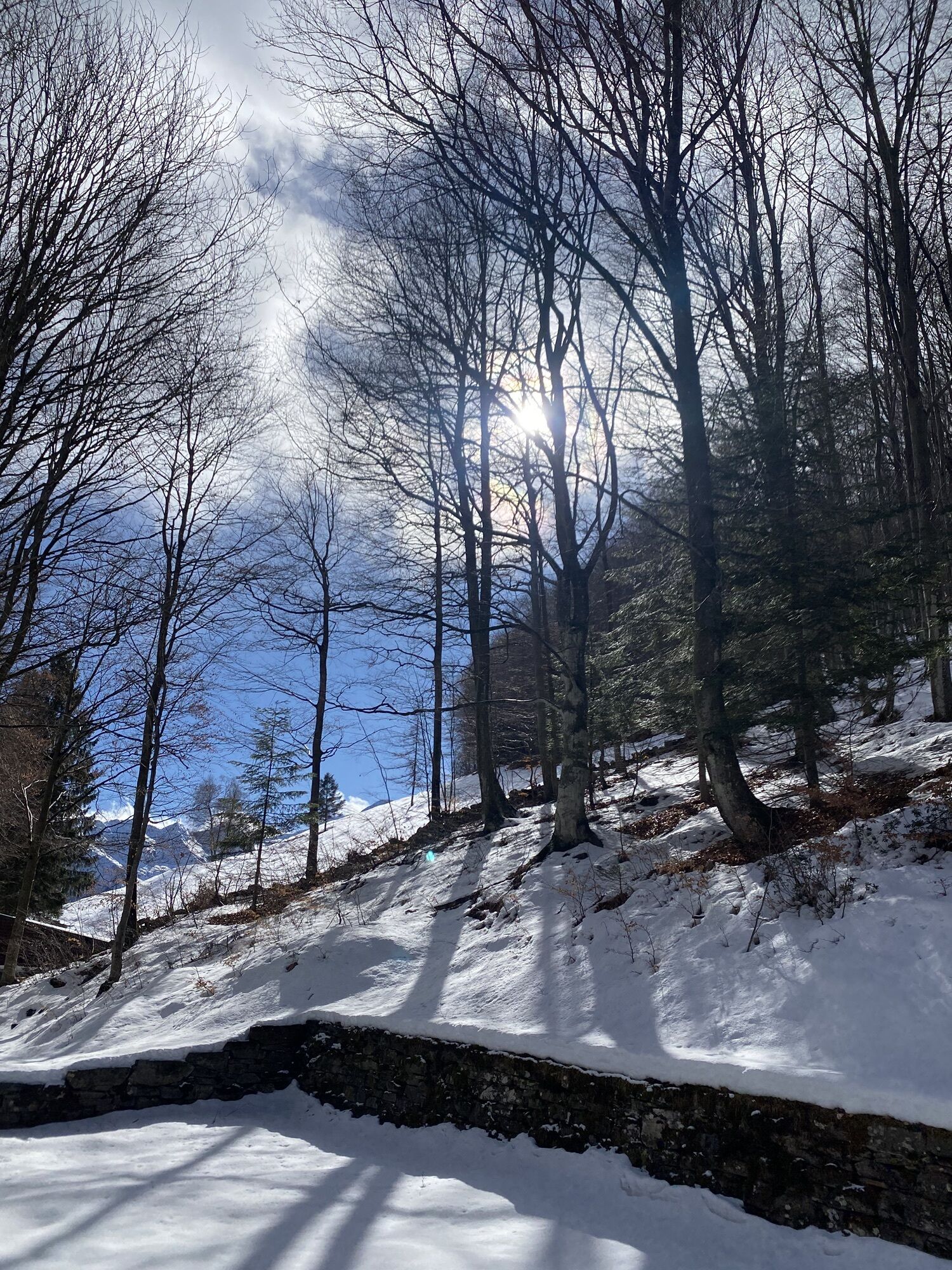
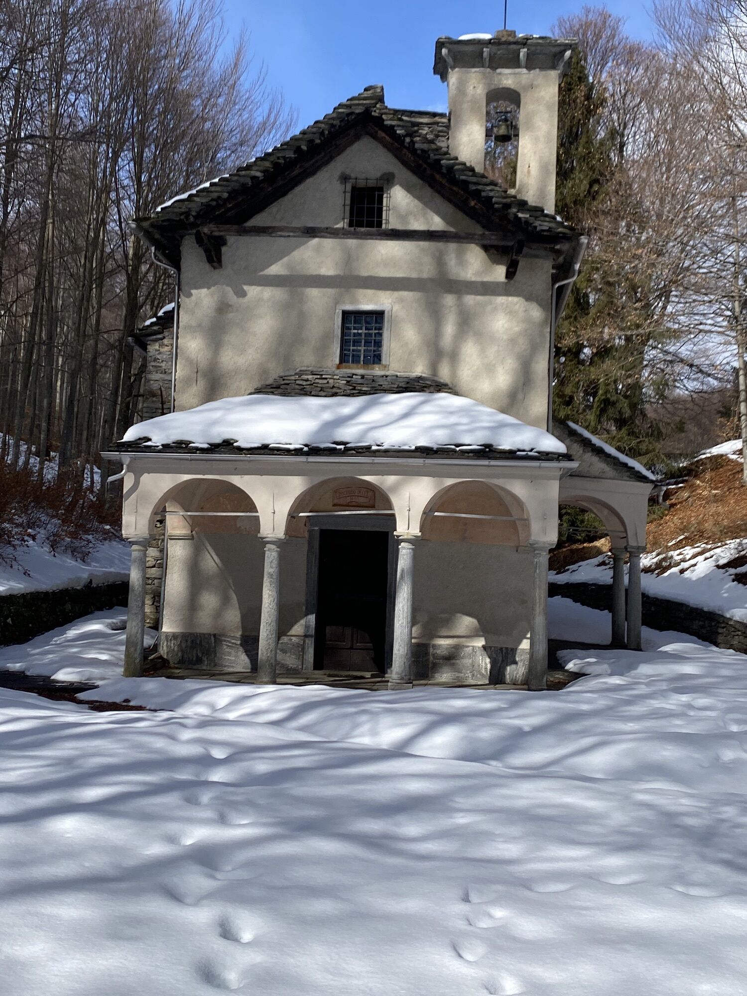
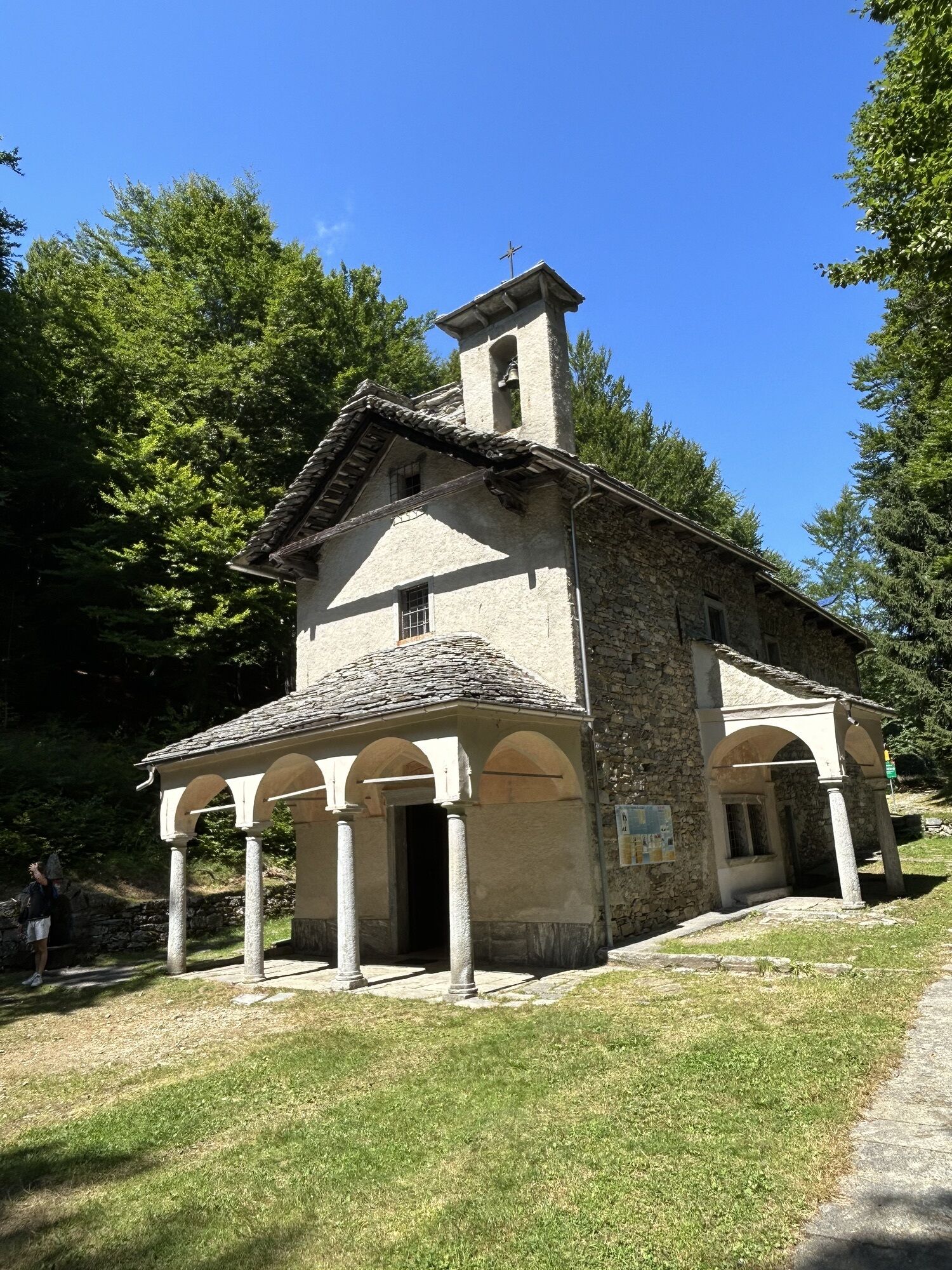
You arrive at Spruga by bus or car. The last village in the Onsernone Valley is a gem from another era. From Spruga the path descends toward the Isorno River and crosses it before beginning to climb towards...
You arrive at Spruga by bus or car. The last village in the Onsernone Valley is a gem from another era. From Spruga the path descends toward the Isorno River and crosses it before beginning to climb towards Alpe Ruscada. Up to Casón the path steadily climbs, under the shade of beeches in the 789-hectare forest reserve. Below Pizzo di Mezzodì you head to Alpe Ruscada, where flocks of sheep graze. The path continues toward Capellone (possibility to climb Pizzo Ruscada), the highest point of the route, and then descends along the ridge toward Corte Nuovo, where there is a refuge where overnight stays are possible from June to October. The panorama over the Centovalli and the Onsernone is fantastic. The up-and-down path takes some time to reach Pianasc, then crosses the forest to Monte Comino. Along the path it is possible to stop and visit the small church of Madonna della Segna and the peat bog. The mountain hotel Alla Capanna offers all comforts for the night, meals included. From Monte Comino the cable car (operating from April to October) allows you to reach the Verdasio station.

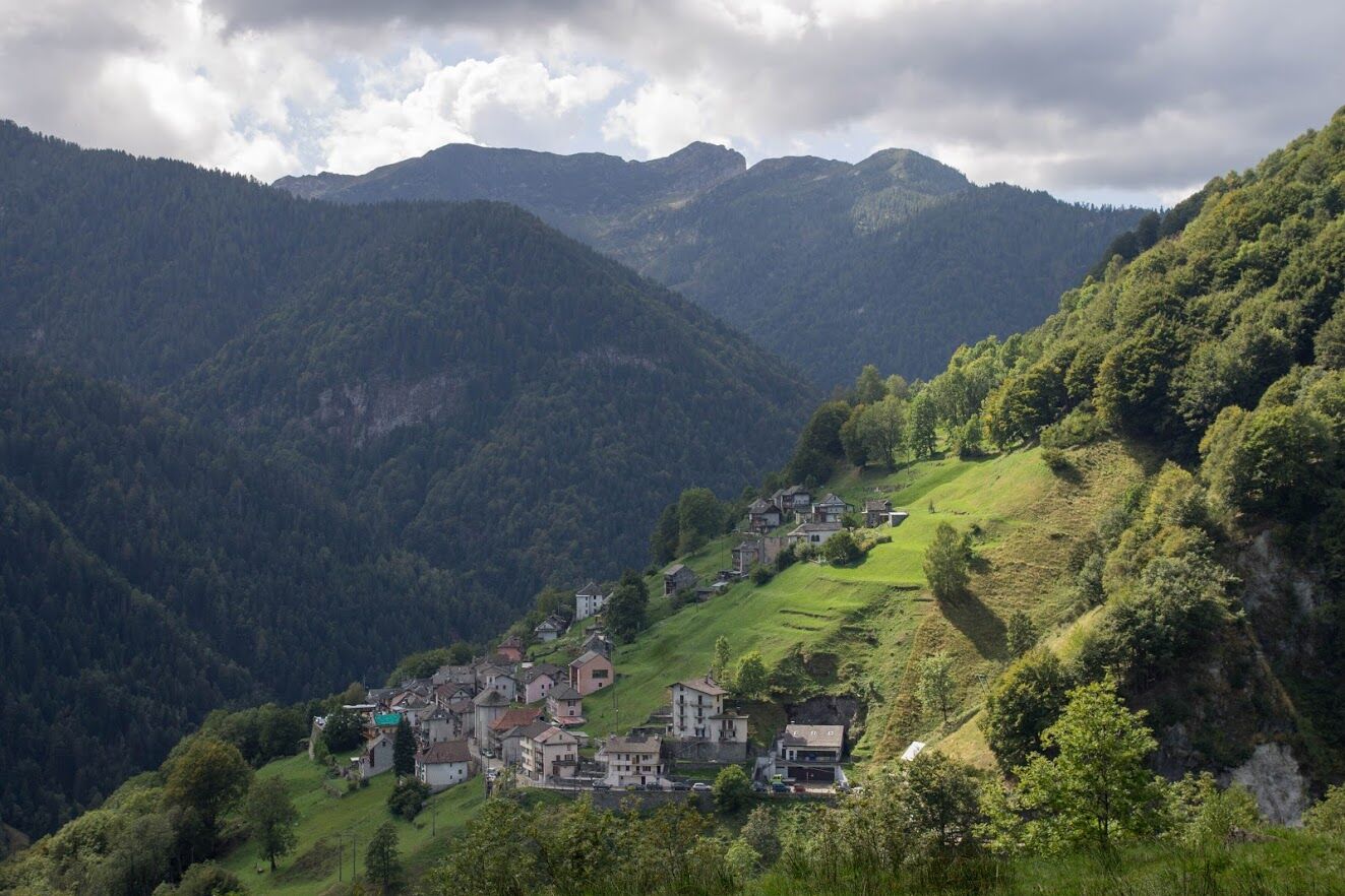
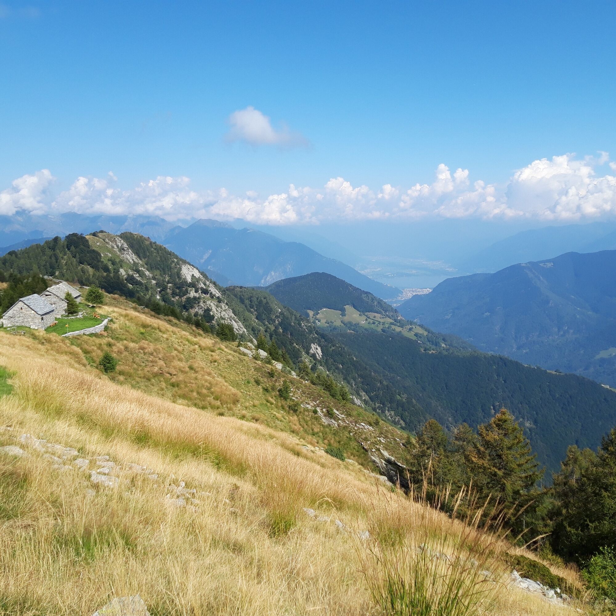
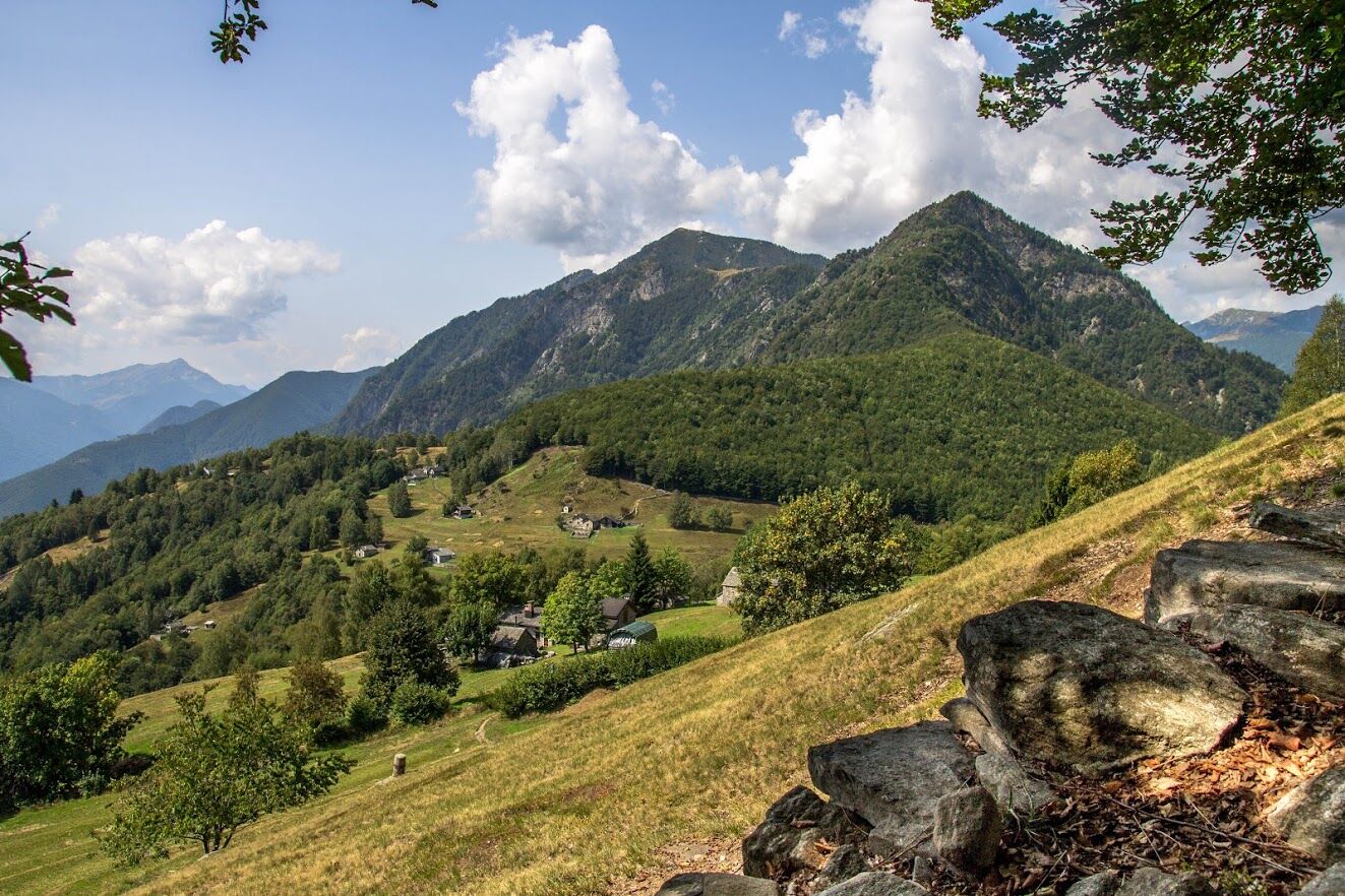
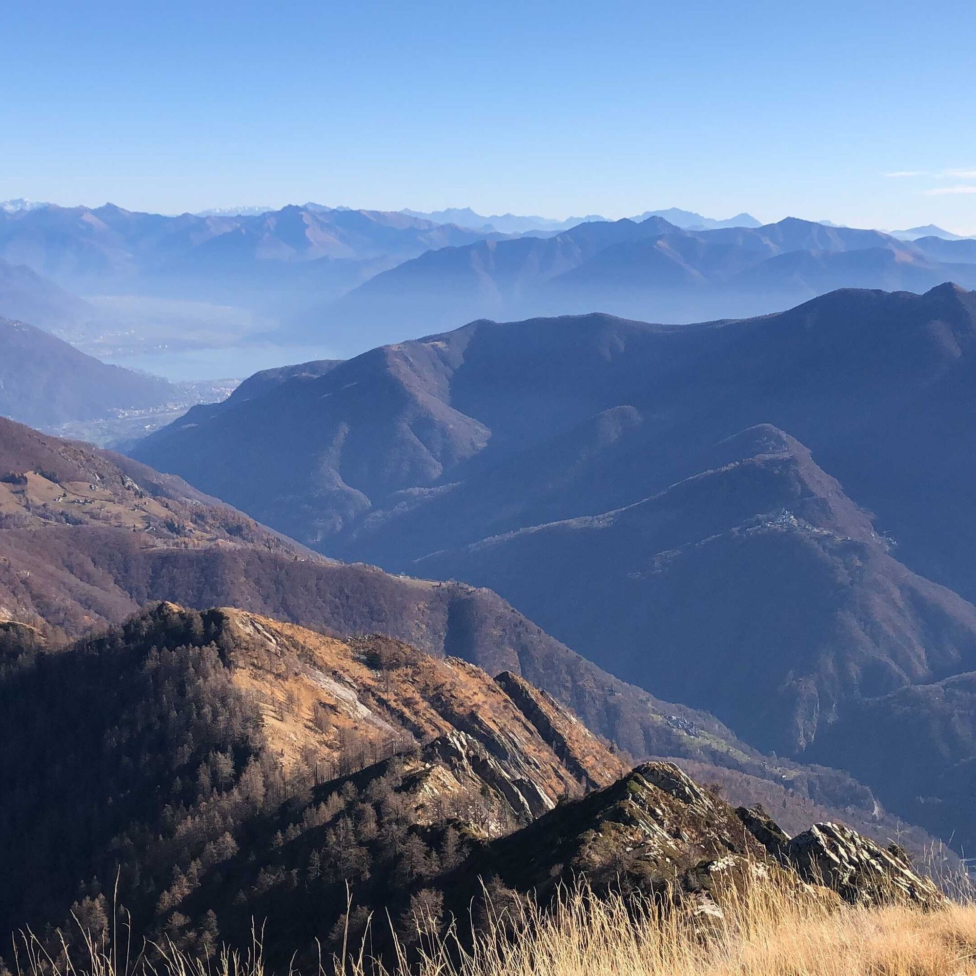
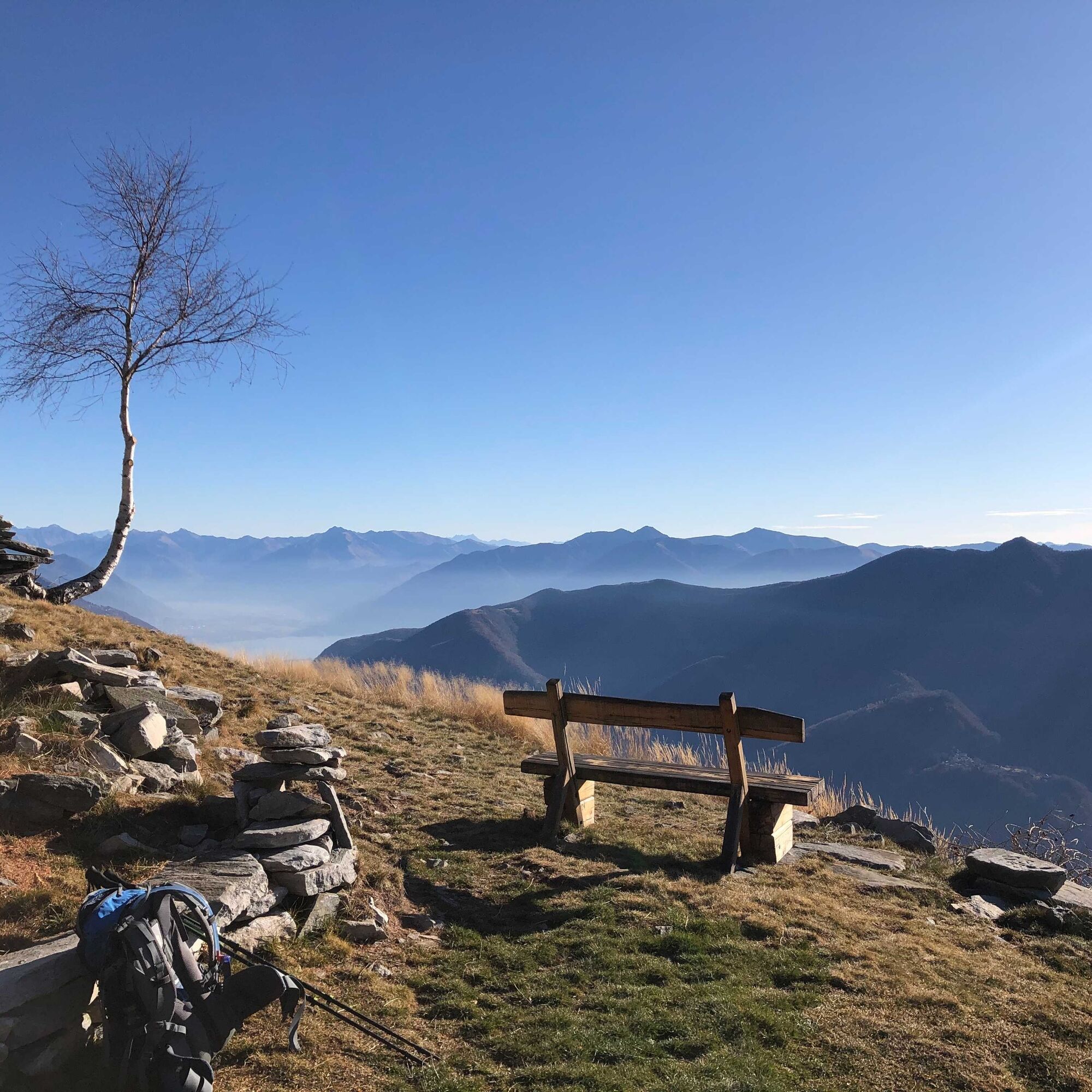

Spruga-Al Balm-Al Curt del Casón-Alpe Ruscada-Capellone-Corte Nuovo-Rifugio Corte Nuovo-Pescia Lunga-Pianasc-Pizzin-Maddona della Segna-Monte di Comino
Hiking backpack (approx. 50 liters) with rain cover
Sturdy and comfortable shoes, possibly spare shoes / sandals
Clothing suitable for weather conditions and durable, layering principle
Change of clothes
Trekking poles
Sun and rain protection
Provisions and portable water
First aid kit
Pocket knife
Mobile phone
Headlamp
Map material
Identity documents
Toiletry bag and travel towel
Hand wash detergent and clothesline rope, camping equipment (tent, sleeping mat, sleeping bag, cooking equipment), possibly hut equipment
T3
Obľúbené výlety v okolí
-
4,8
Valle del Salto round route (SvizzeraMobile 611)
strednáTuristika 8,84 km -
4,8
Avegno-Ponte Brolla-Avegno
strednáTuristika 8,56 km -
3,8
Cannobio zu Sant’Aagata
svetloTuristika 5,85 km -
4,0
Cardada Bike (SwitzerlandMobility 397)
ťažkéMountainbike 30,6 km -
Maggia-Someo-Maggia
svetloTuristika 15,5 km -
5,0
Spruga-Alpe Saléi-Comologno
strednáTuristika 8,96 km -
4,5
Sculpture Trail
svetloTematická trasa 2,49 km -
5,0
In the footsteps of Mr. Geiser
strednáTematická trasa 6,73 km -
4,0
Gordevio-Alpe Nimi-Gordevio
ťažkédiaľková pešia trasa 15,2 km -
4,7
Tegna-Castelliere-Ponte Brolla-Tegna
strednáTuristika 4,63 km
Turistika a stopovanie


Nenechajte si ujsť ponuky a inšpiráciu na ďalšiu dovolenku
Vaša e-mailová adresa bol pridaný do poštového zoznamu.





