







Stage 2: Rifugio Alpe Masnee-Brione Verzasca
Úroveň náročnosti: T3
It is worth starting early in the day, because here – as almost everywhere in the mountains – the sunrise is an extraordinary spectacle. At the first rays of sun we can begin the descent to Passo Deva,...
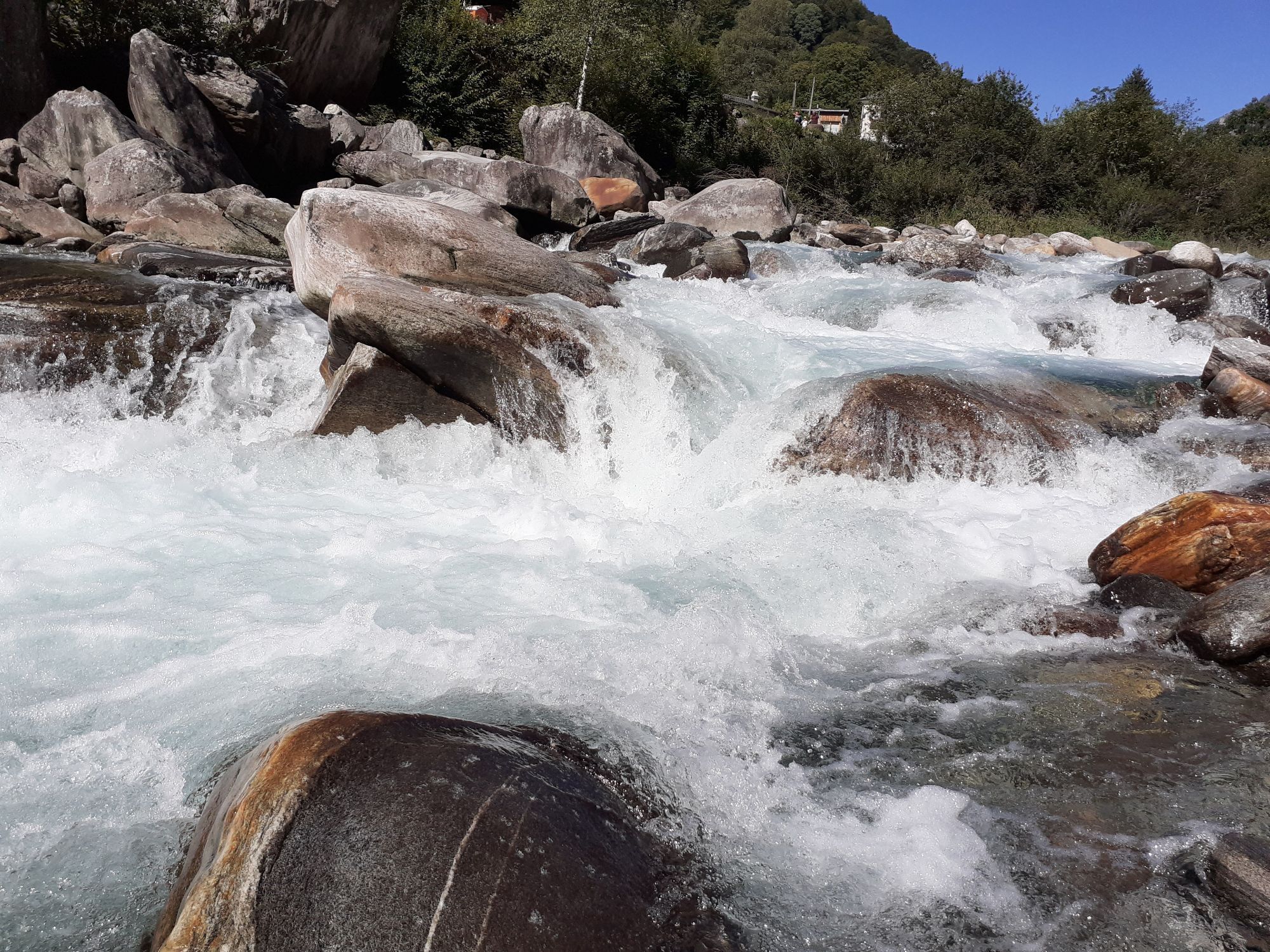
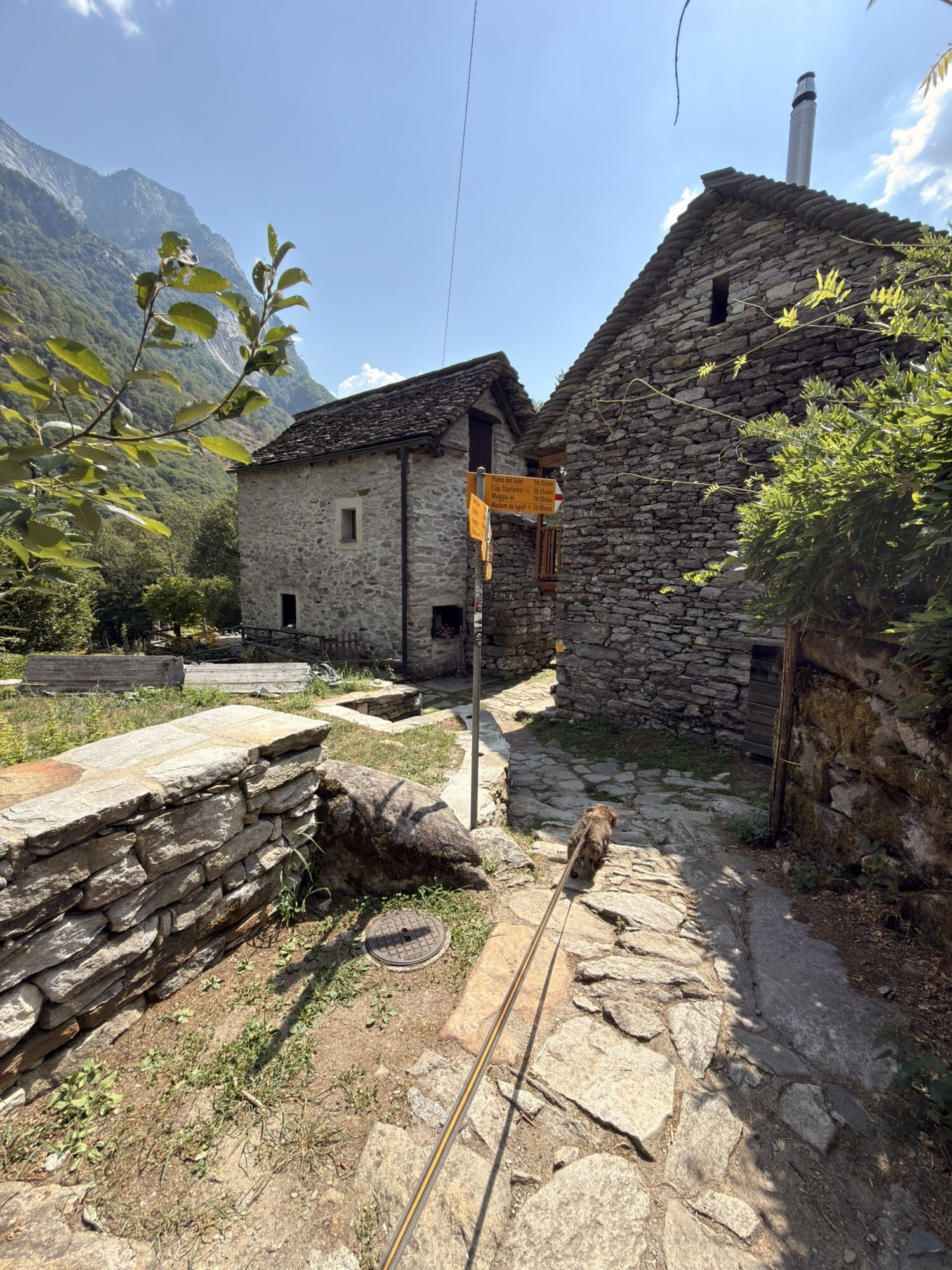
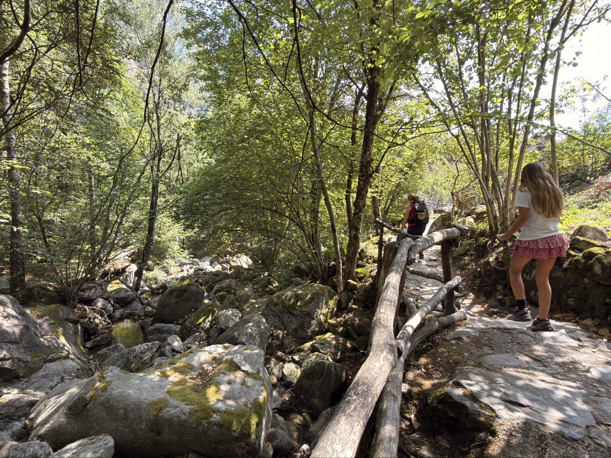
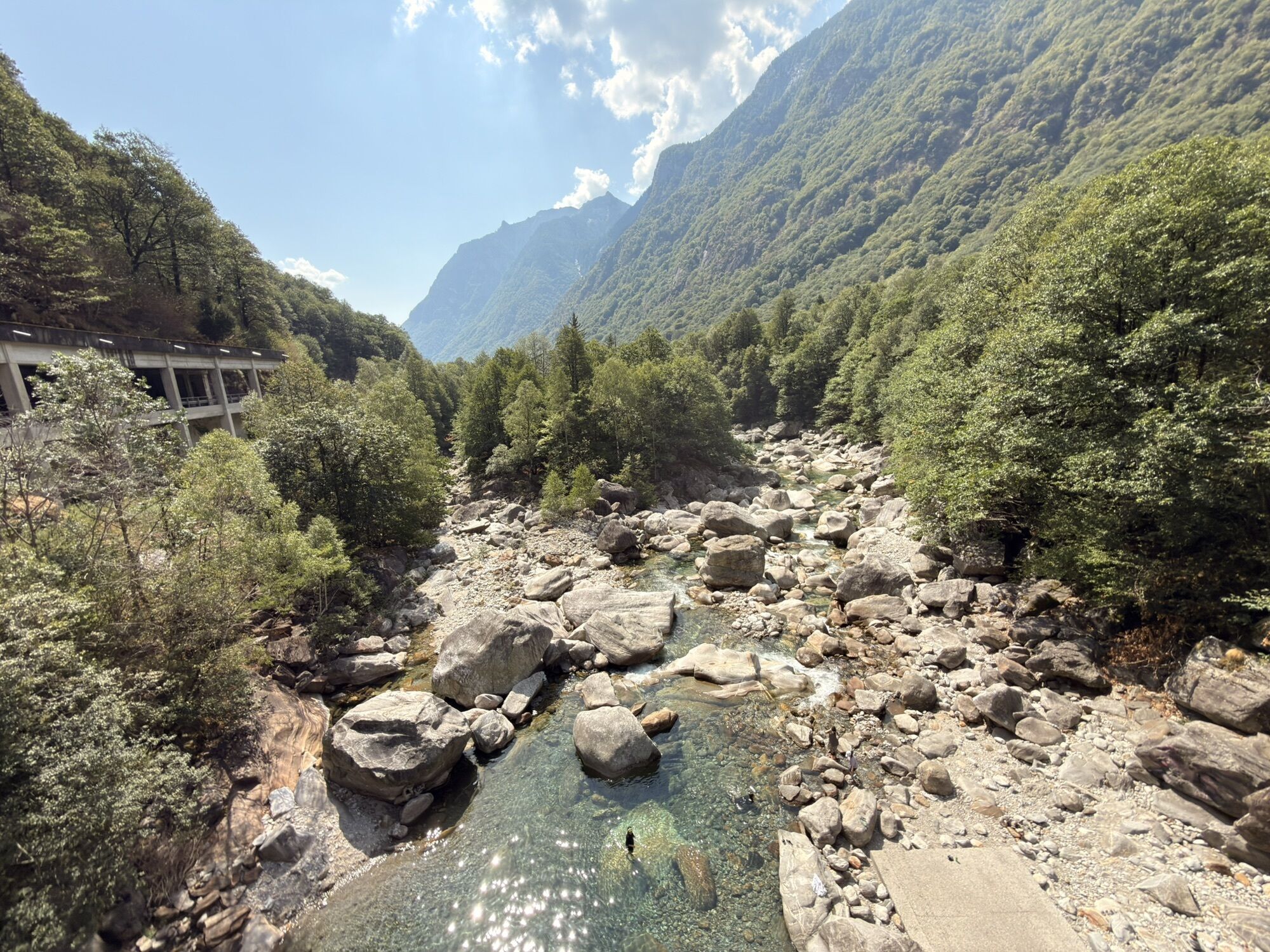
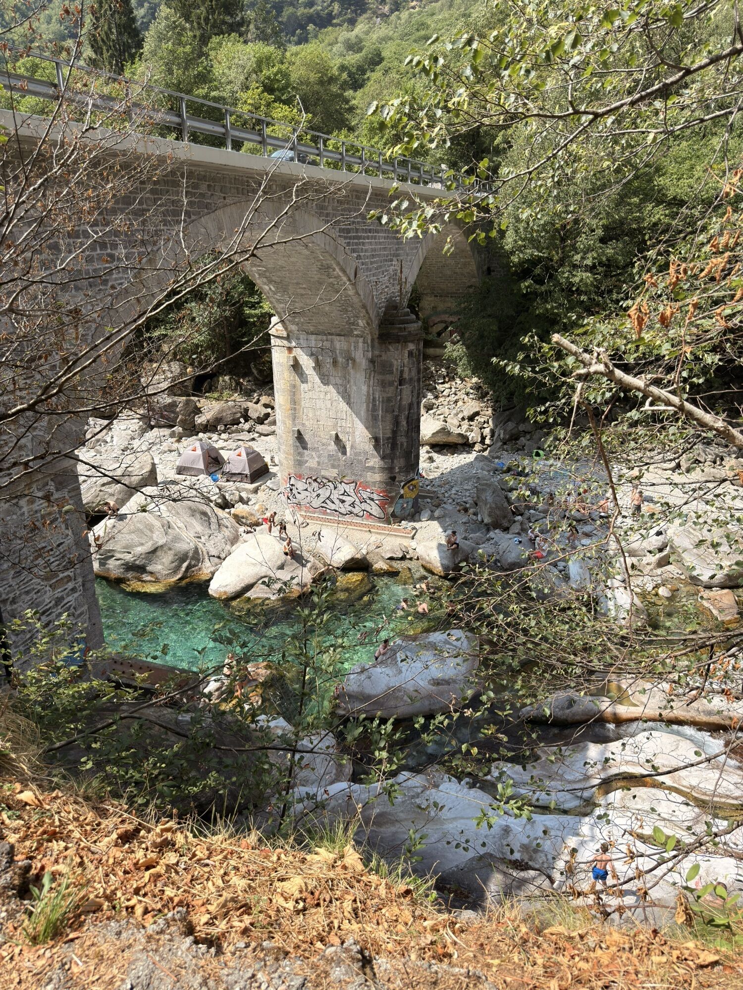
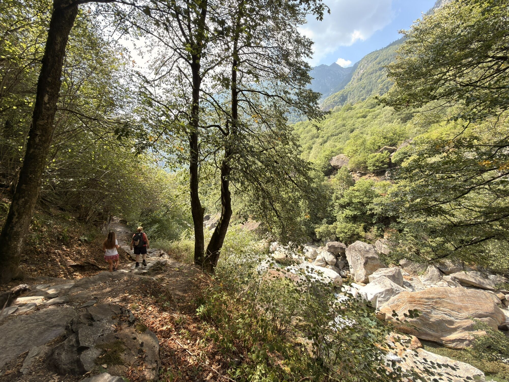
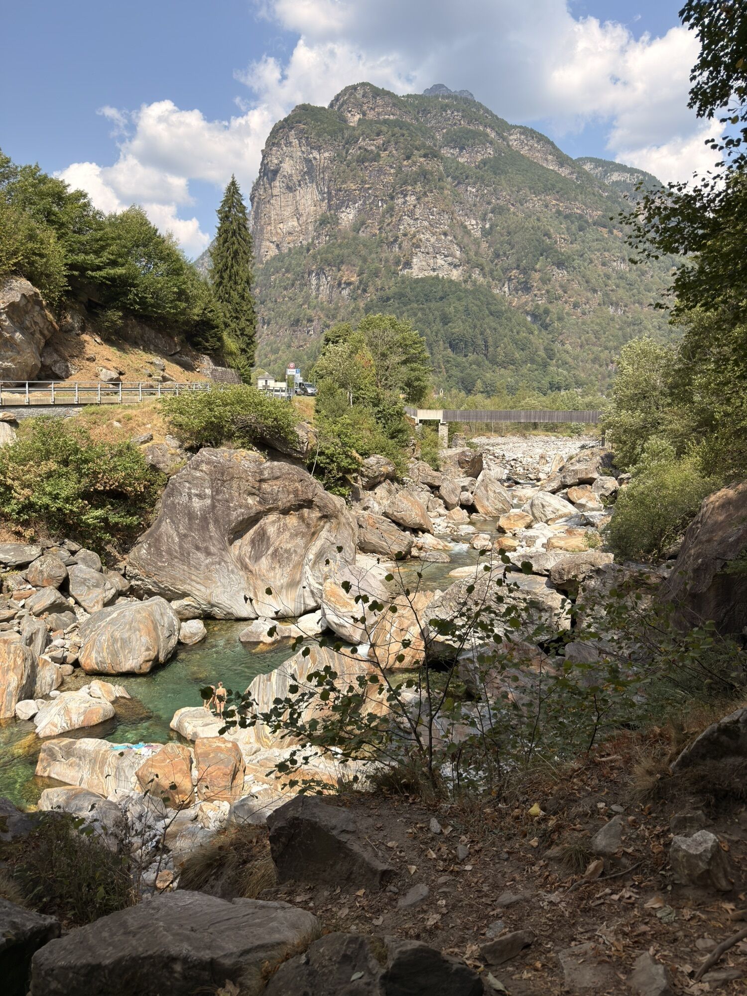
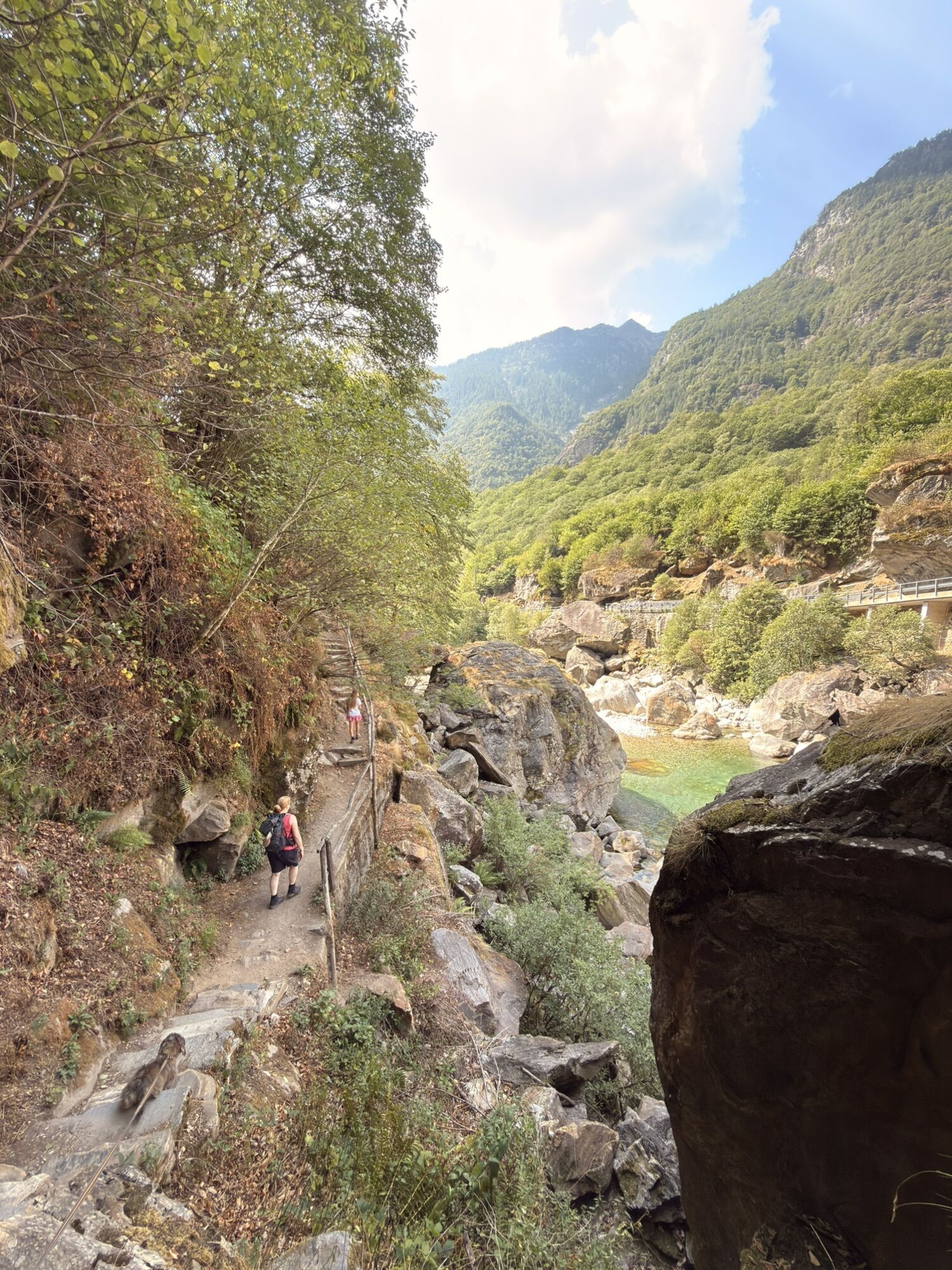
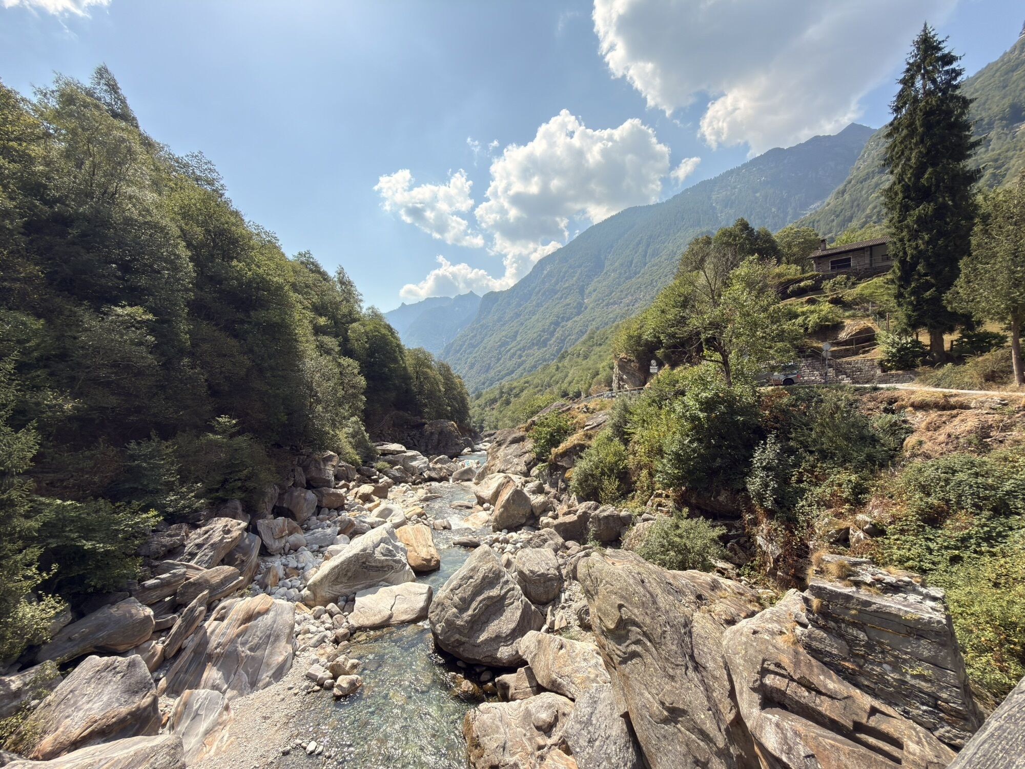
It is worth starting early in the day, because here – as almost everywhere in the mountains – the sunrise is an extraordinary spectacle. At the first rays of sun we can begin the descent to Passo Deva, which marks the border between Vallemaggia and Valle Verzasca. From here there is a fantastic view over the valleys and far beyond the borders of Ticino. A short but steep descent leads to Lake Starlaresc, a beautiful mountain lake made special not only by its location but also by the presence of rare alpine newts. After passing the Capanna Starlaresc, the route continues to Alpe Sgiòf. The next descent towards Piano del Vald goes through a less alpine landscape and the vegetation becomes increasingly pleasant. Upon reaching the valley floor, the Verzasca river with its emerald-colored water is crossed at Ganne, and the Sentierone is followed for a short stretch to Brione Verzasca.

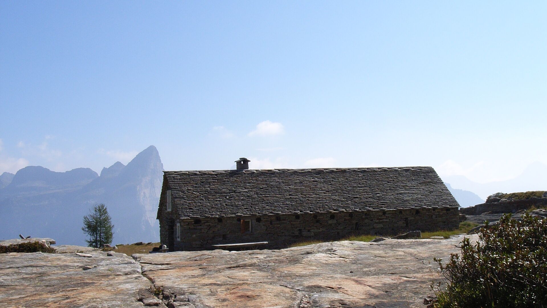
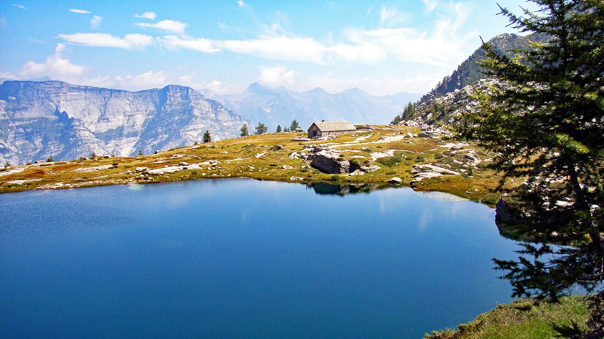
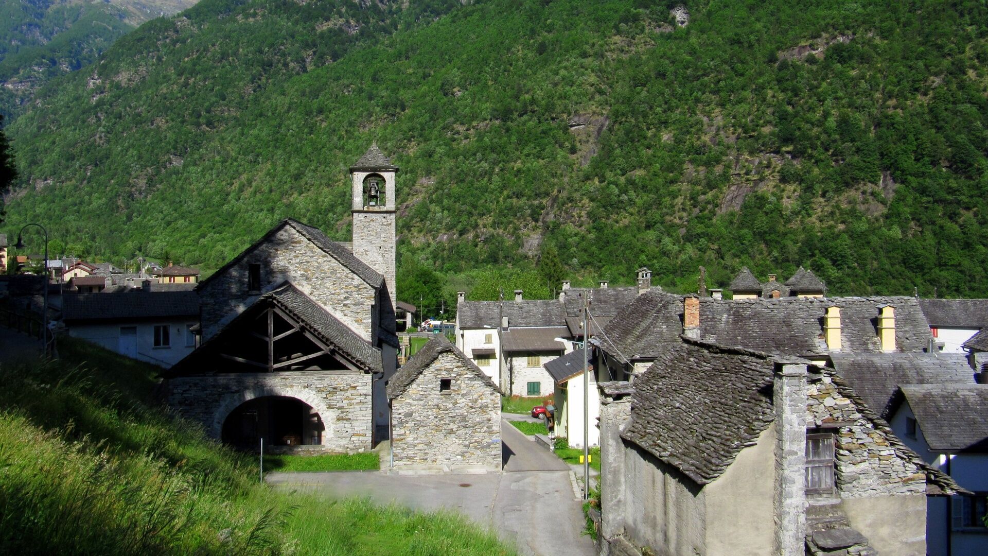

Rifugio Alpe Masnee-Passo Deva-Lake Starlarèsc from Sgiòf-Capanna Starlaresc-Motarüch-Piano del Vald-Ganne-Piee-Brione Verzasca
Trekking backpack (approx. 50 liters) with rain cover
Sturdy and comfortable shoes, optionally change of shoes / sandals
Clothing suitable for weather conditions and durable, layering principle
Change of clothes
Trekking poles
Protection from sun and rain
Provisions and drinkable water
First aid kit
Pocket knife
Cell phone
Headlamp
Map material
Identification documents
Toiletry bag and travel towel
Hand washing detergent and clothesline, camping equipment (tent, sleeping pad, sleeping bag, cooking equipment), optionally equipment for the hut
Swiss Trails - Safe Hiking
T3
Obľúbené výlety v okolí
-
4,6
Verzasca Dam-Mergoscia-Corippo-Lavertezzo
strednáTuristika 13,0 km -
4,8
Valle del Salto round route (SvizzeraMobile 611)
strednáTuristika 8,84 km -
4,8
Avegno-Ponte Brolla-Avegno
strednáTuristika 8,56 km -
3,3
Entlang der Verzasca von Sonogno via Brione nach Lavertezzo
svetloTuristika 14,5 km -
5,0
Lavertezzo-Brione Verzasca
svetloTuristika 6,50 km -
4,5
Revöira Ethnographic Trail (SwitzerlandMobility 629)
strednáTuristika 7,97 km -
4,0
Cardada Bike (SwitzerlandMobility 397)
ťažkéMountainbike 30,6 km -
5,0
Verzasca Dam-Monti di Motti-Verzasca Dam
strednáTuristika 9,31 km -
Cardada-Cimetta-Alpe Vegnasca-Cardada
strednáTuristika 6,86 km -
Maggia-Someo-Maggia
svetloTuristika 15,5 km
Turistika a stopovanie


Nenechajte si ujsť ponuky a inšpiráciu na ďalšiu dovolenku
Vaša e-mailová adresa bol pridaný do poštového zoznamu.





