







Trekking of the Sun
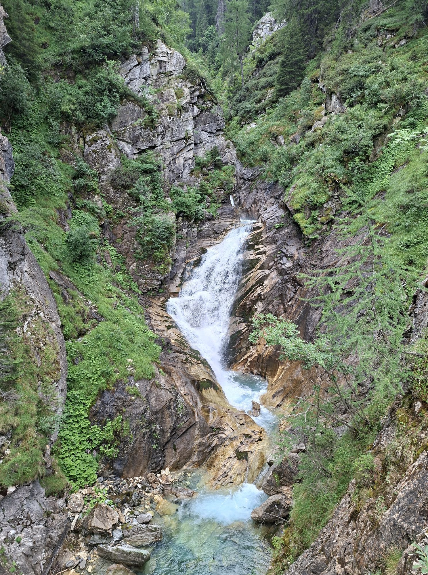
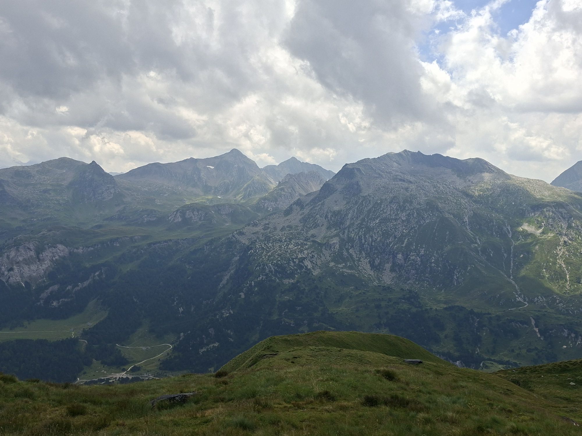
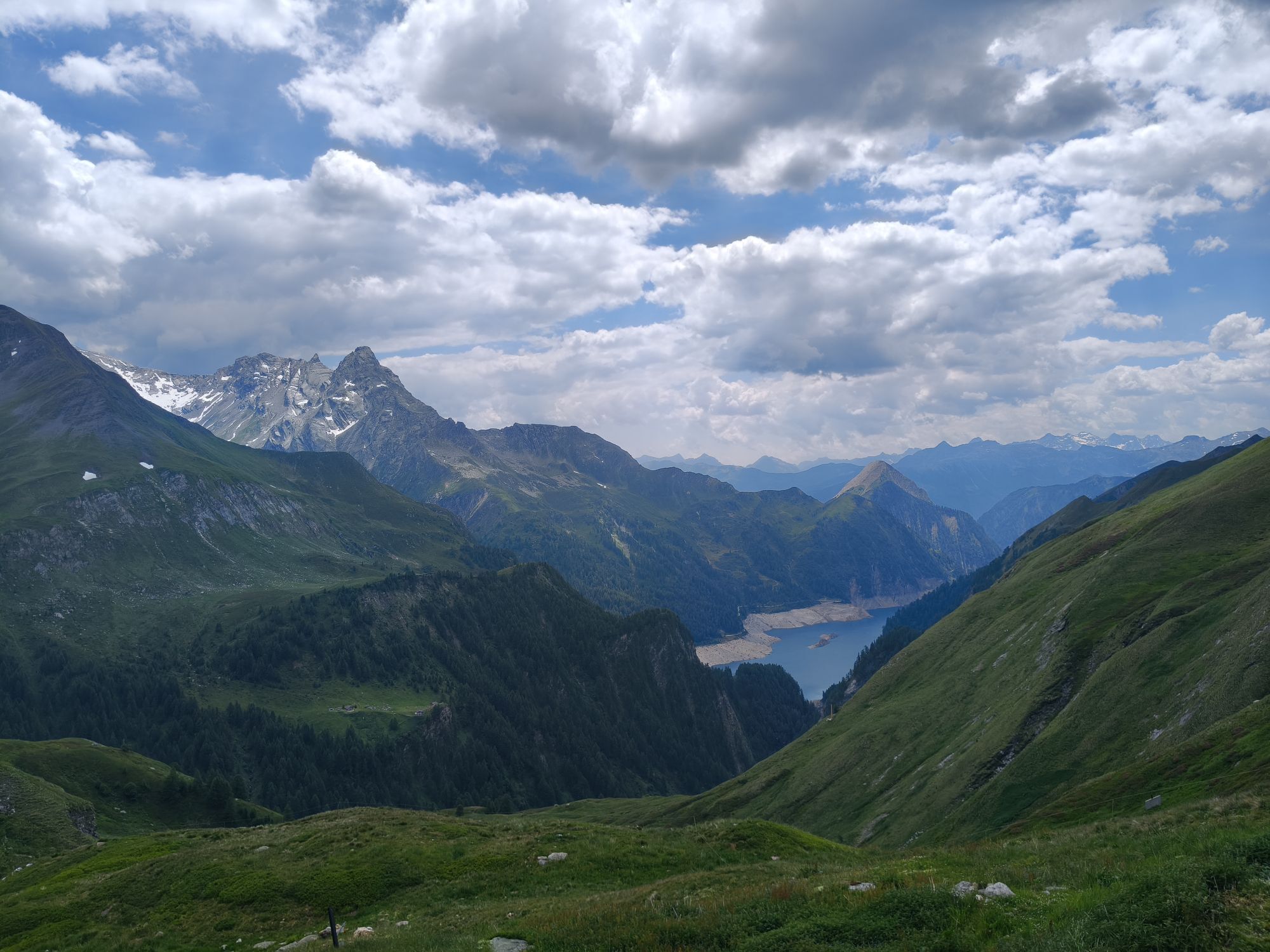
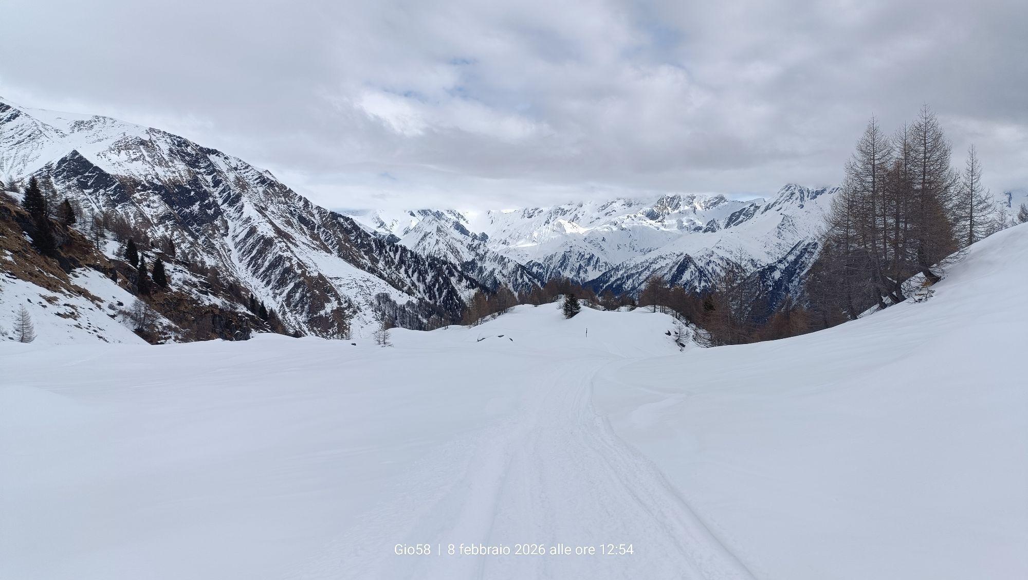
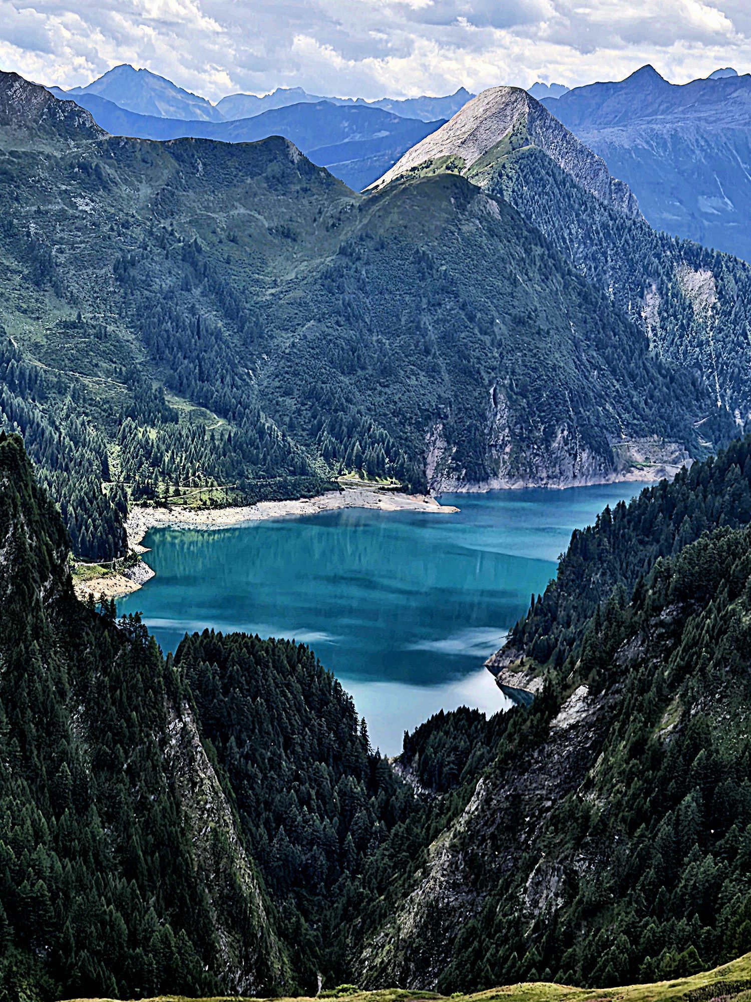
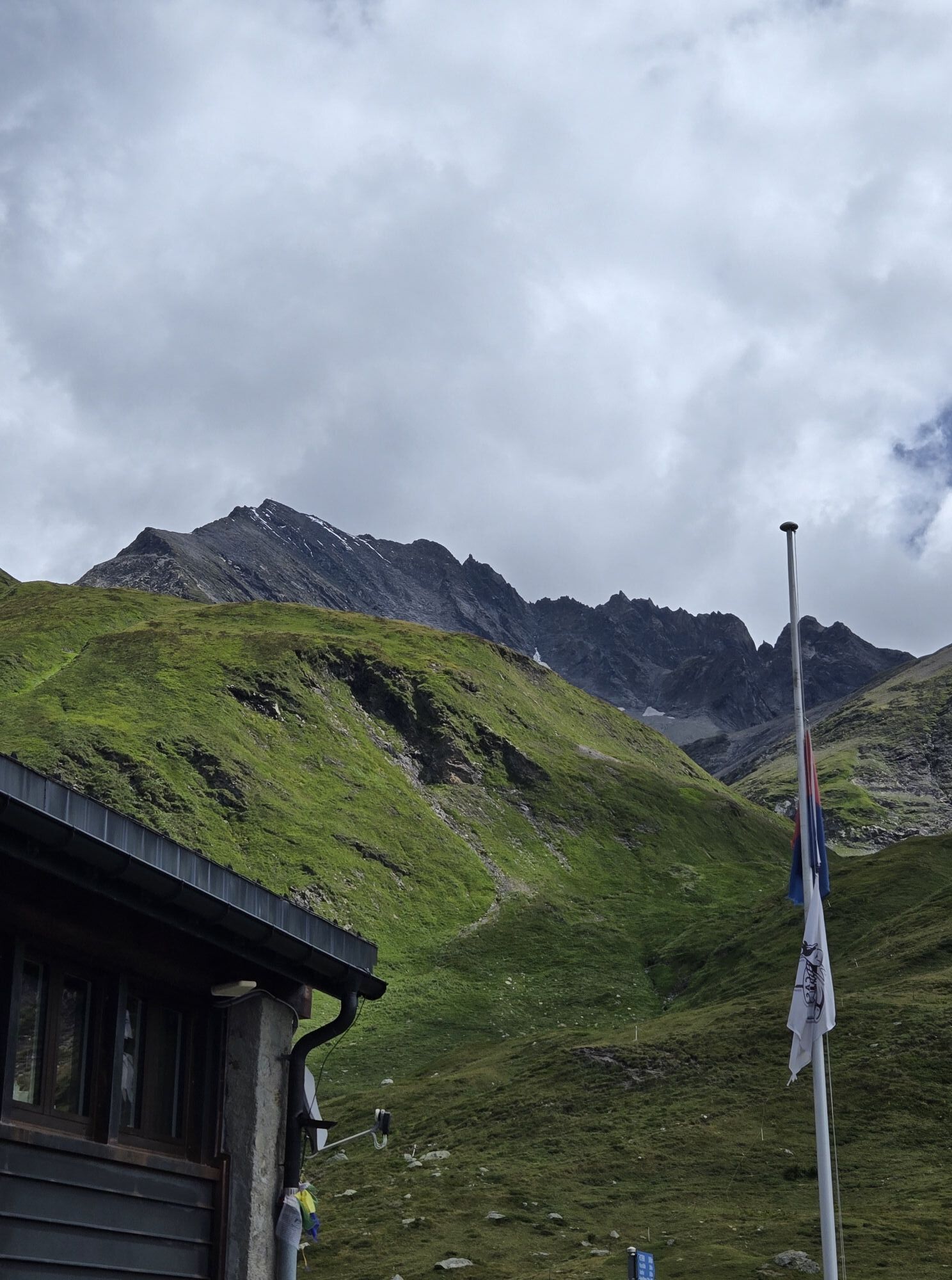
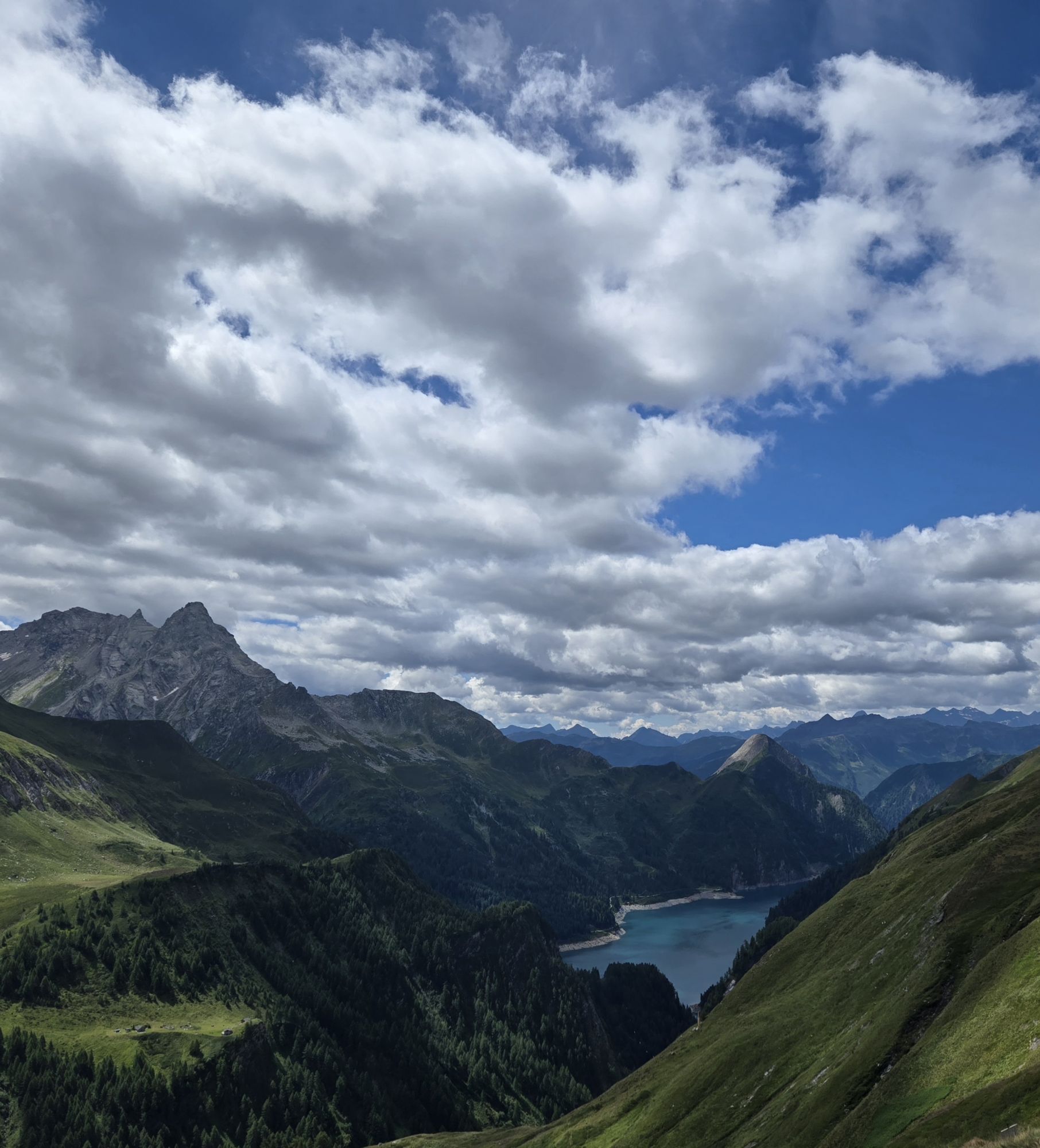
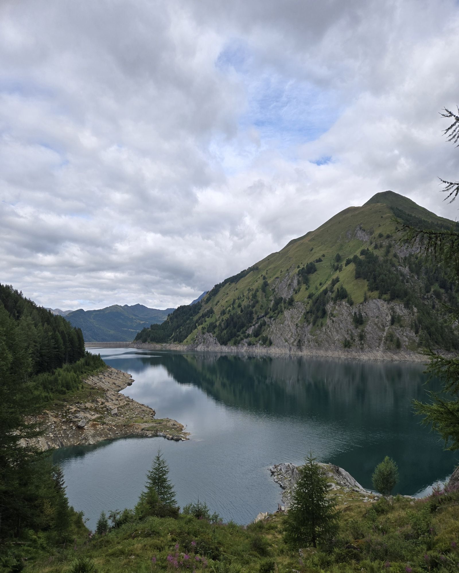
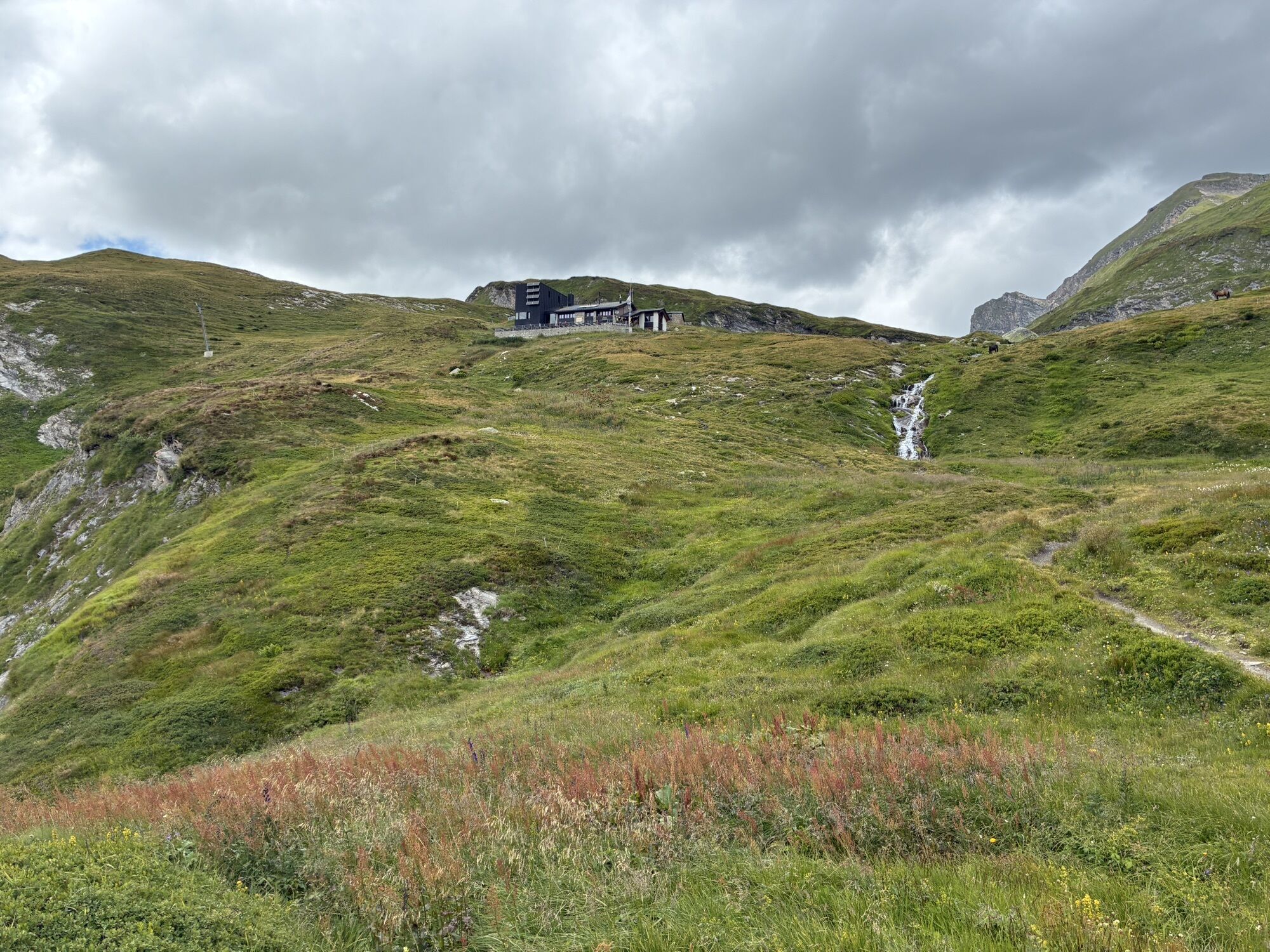
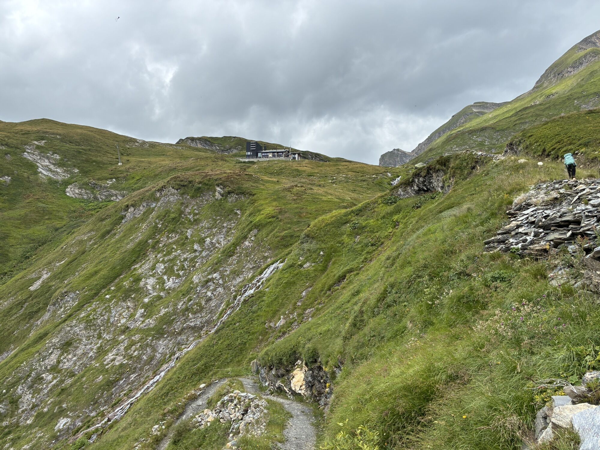
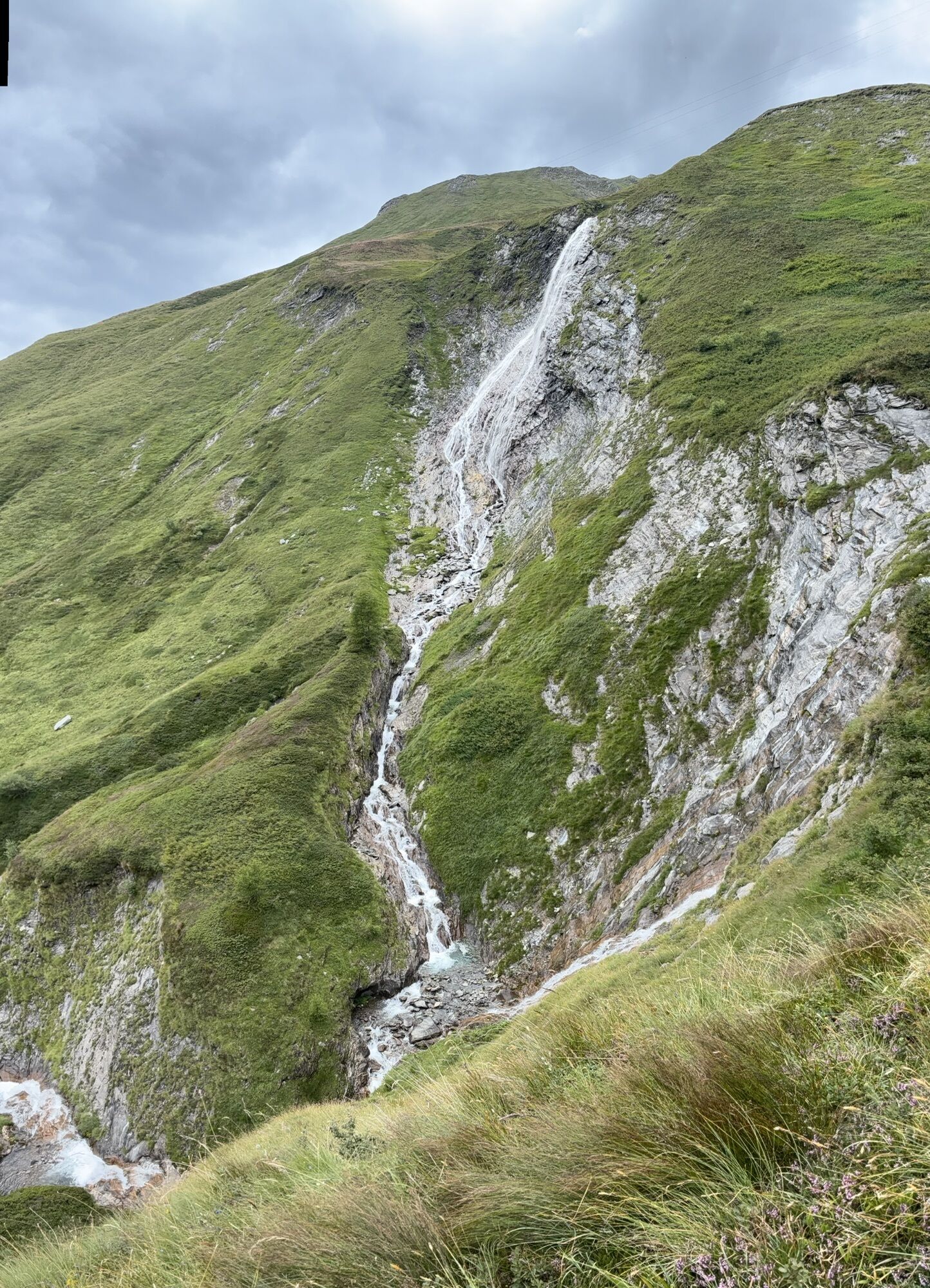
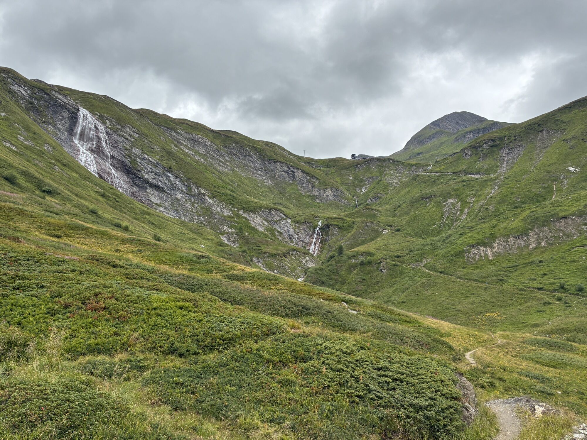
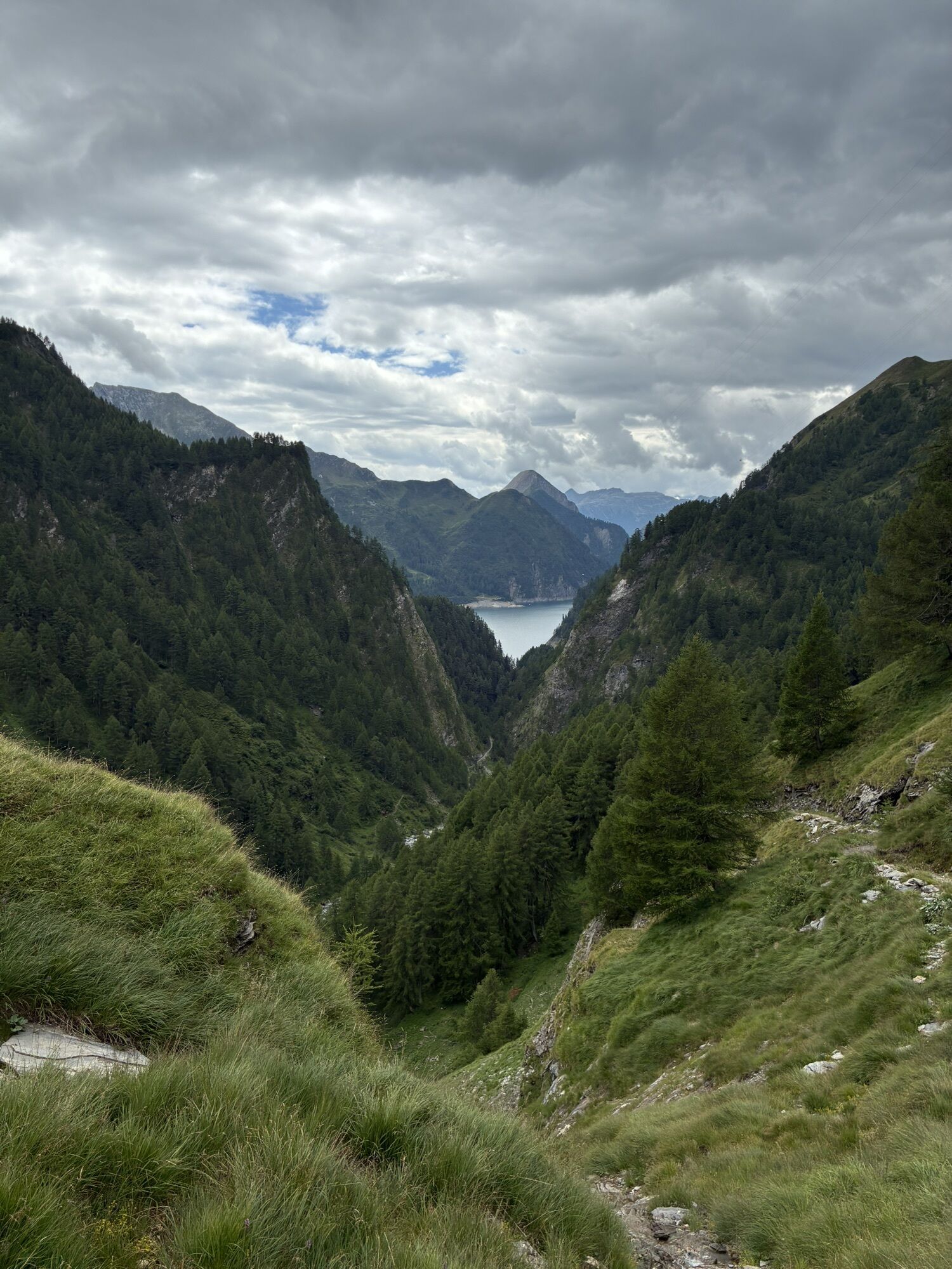
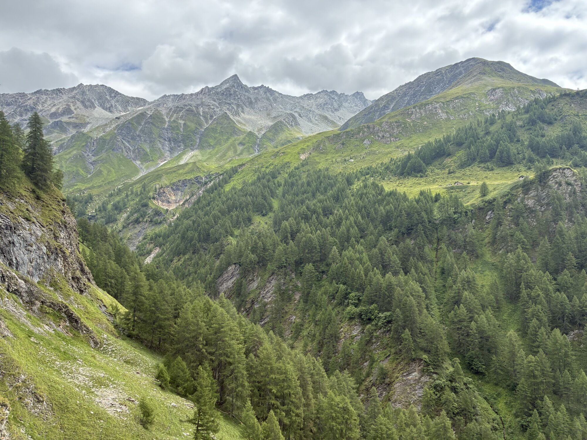
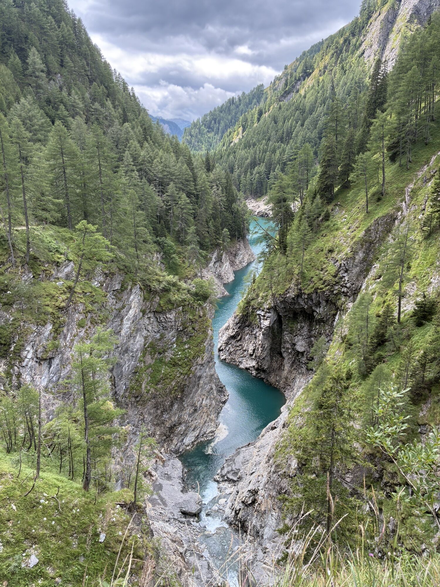
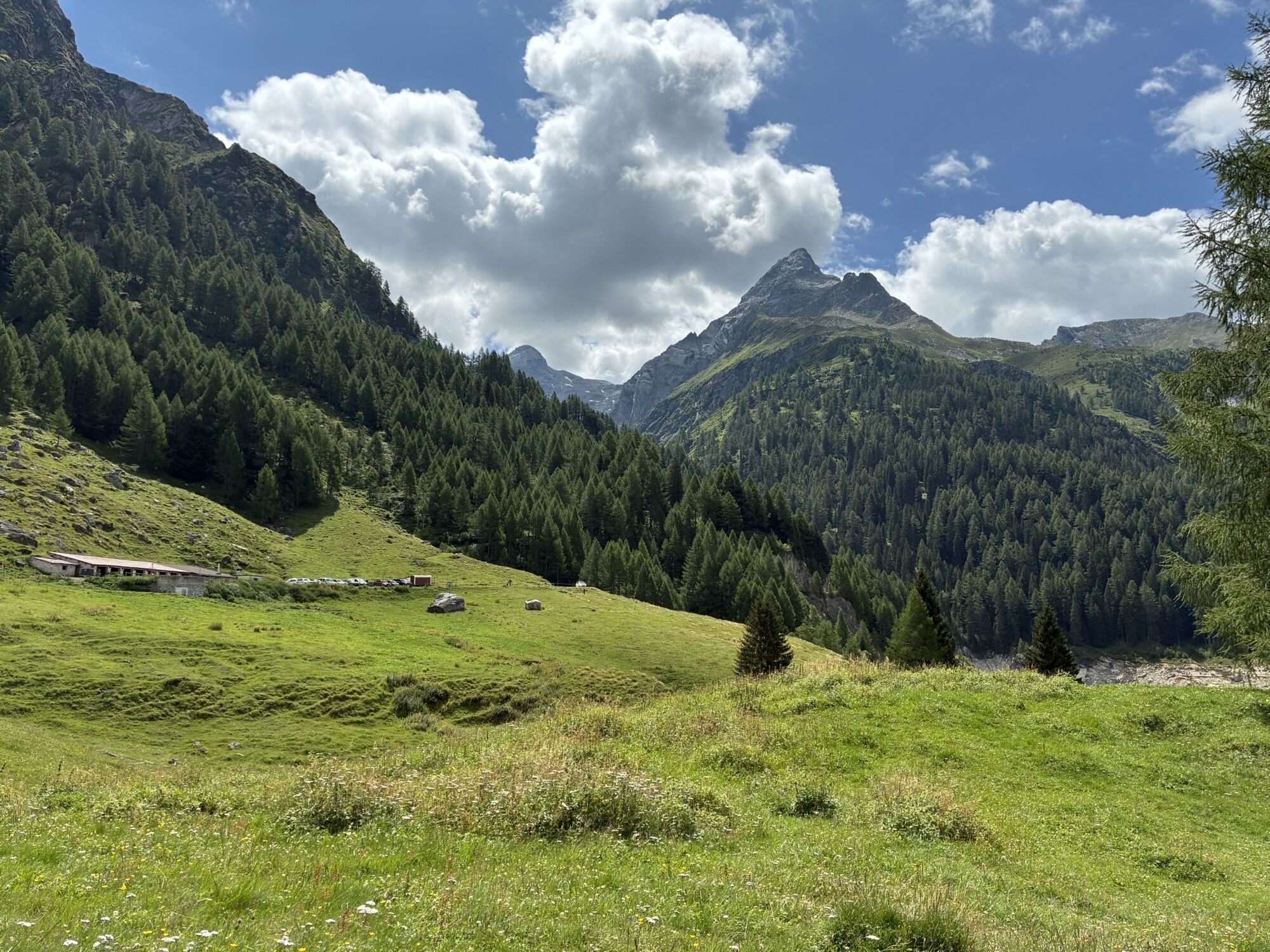

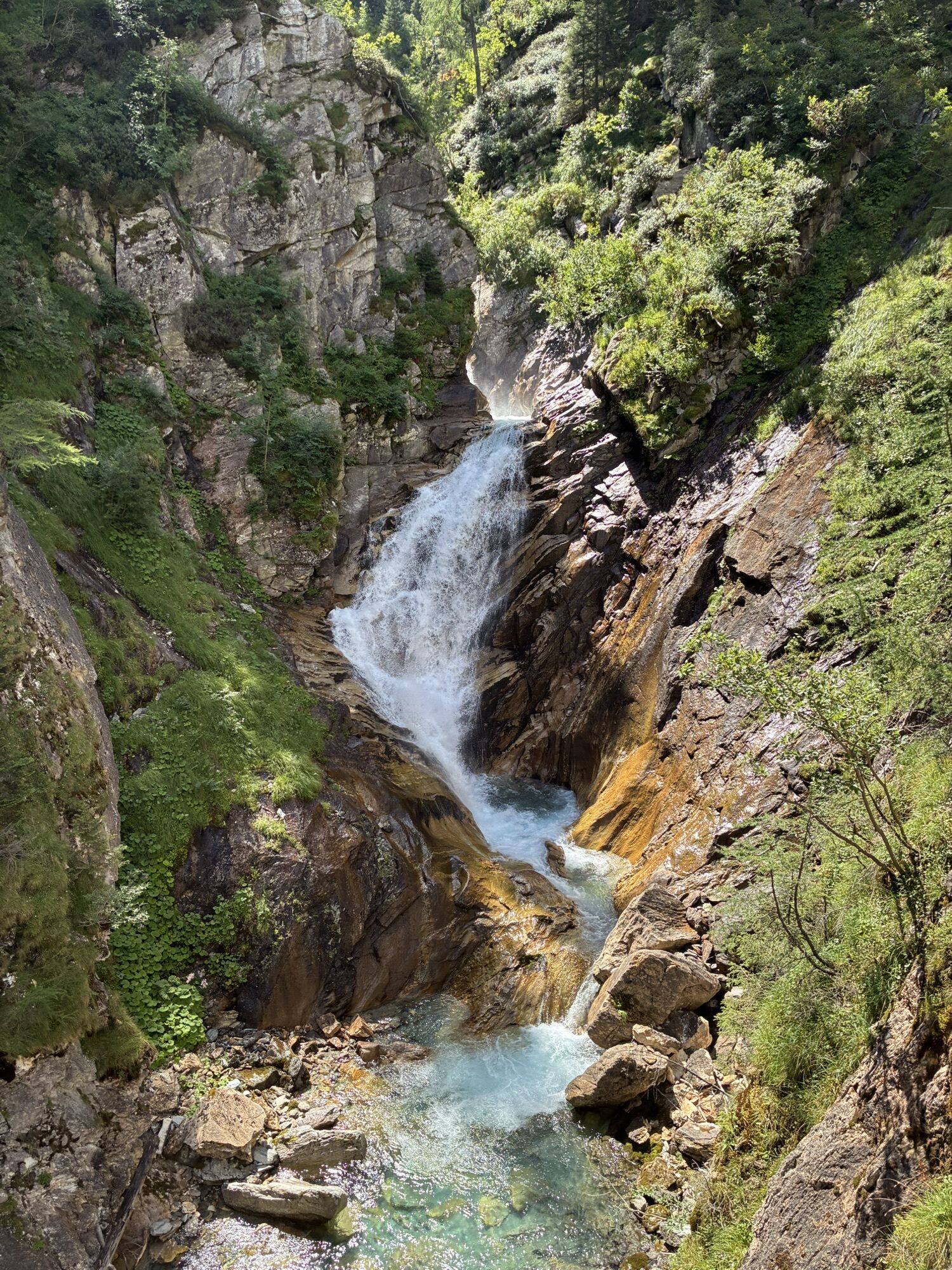
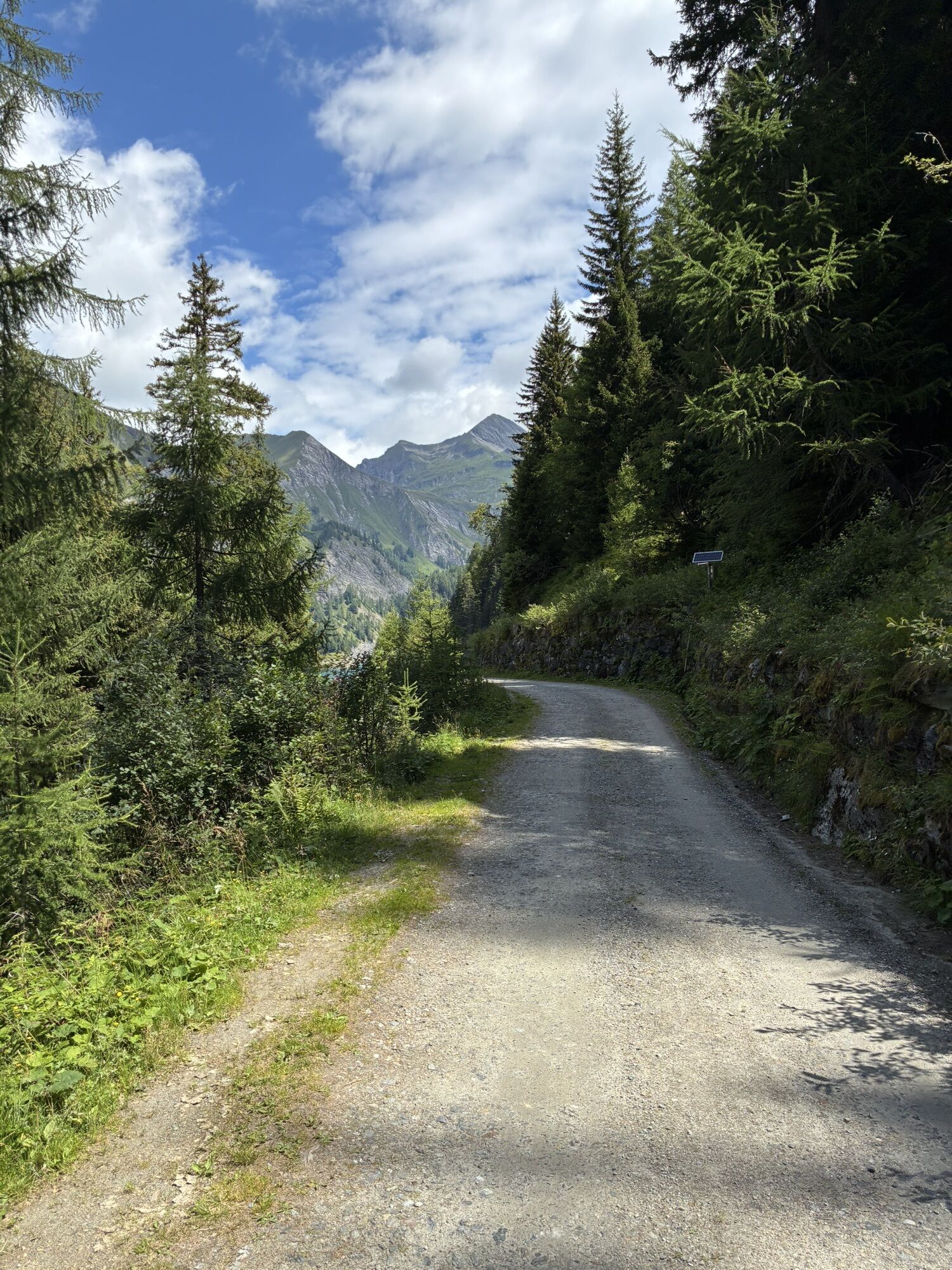
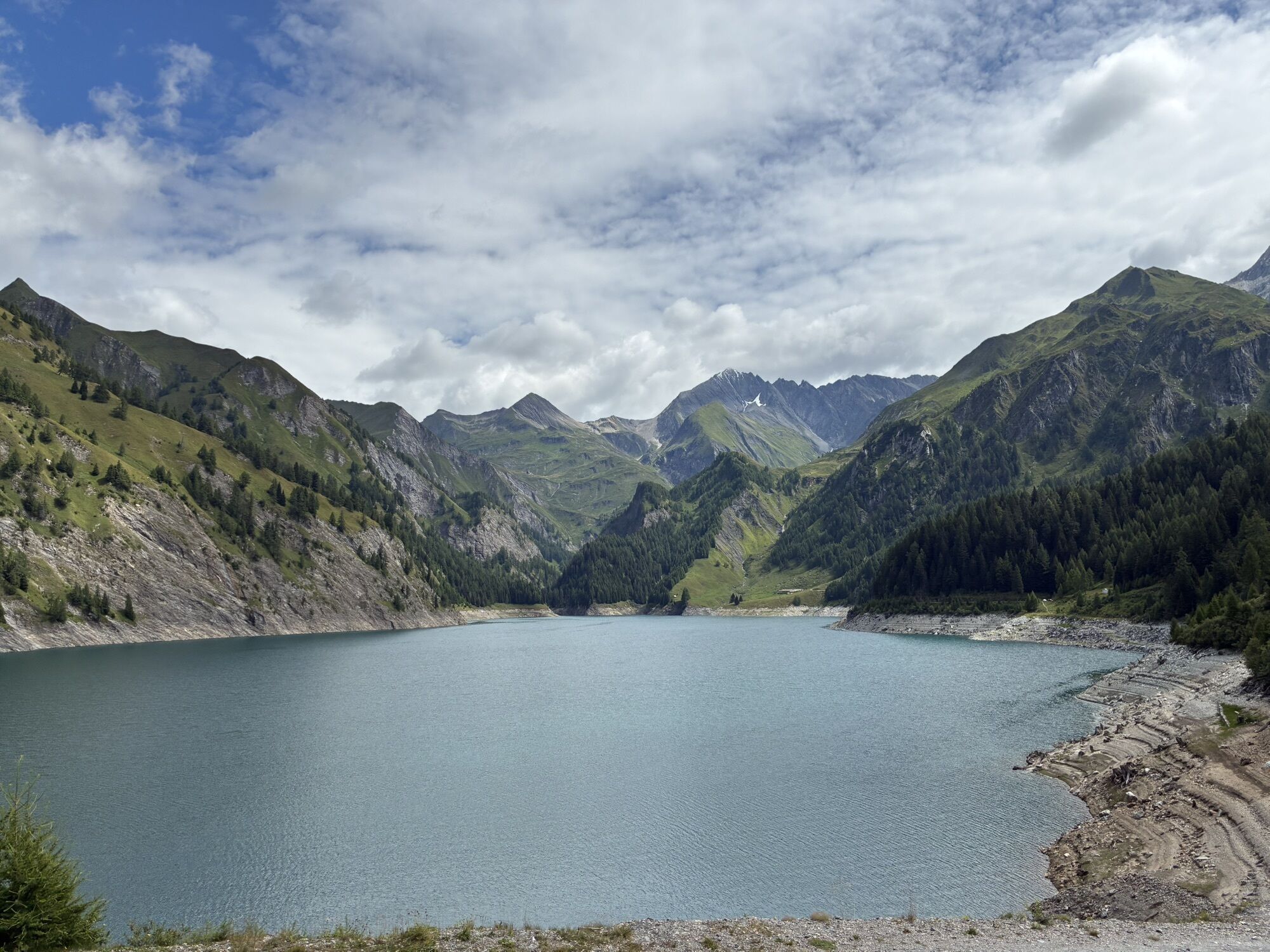
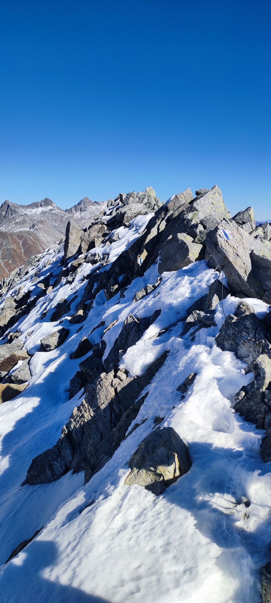
The Blenio Valley is also called the "Valley of the Sun," after which this stupendous high-altitude crossing is named.
A trek far from civilization that opens the door to a new world. The air as fresh...
The Blenio Valley is also called the "Valley of the Sun," after which this stupendous high-altitude crossing is named.
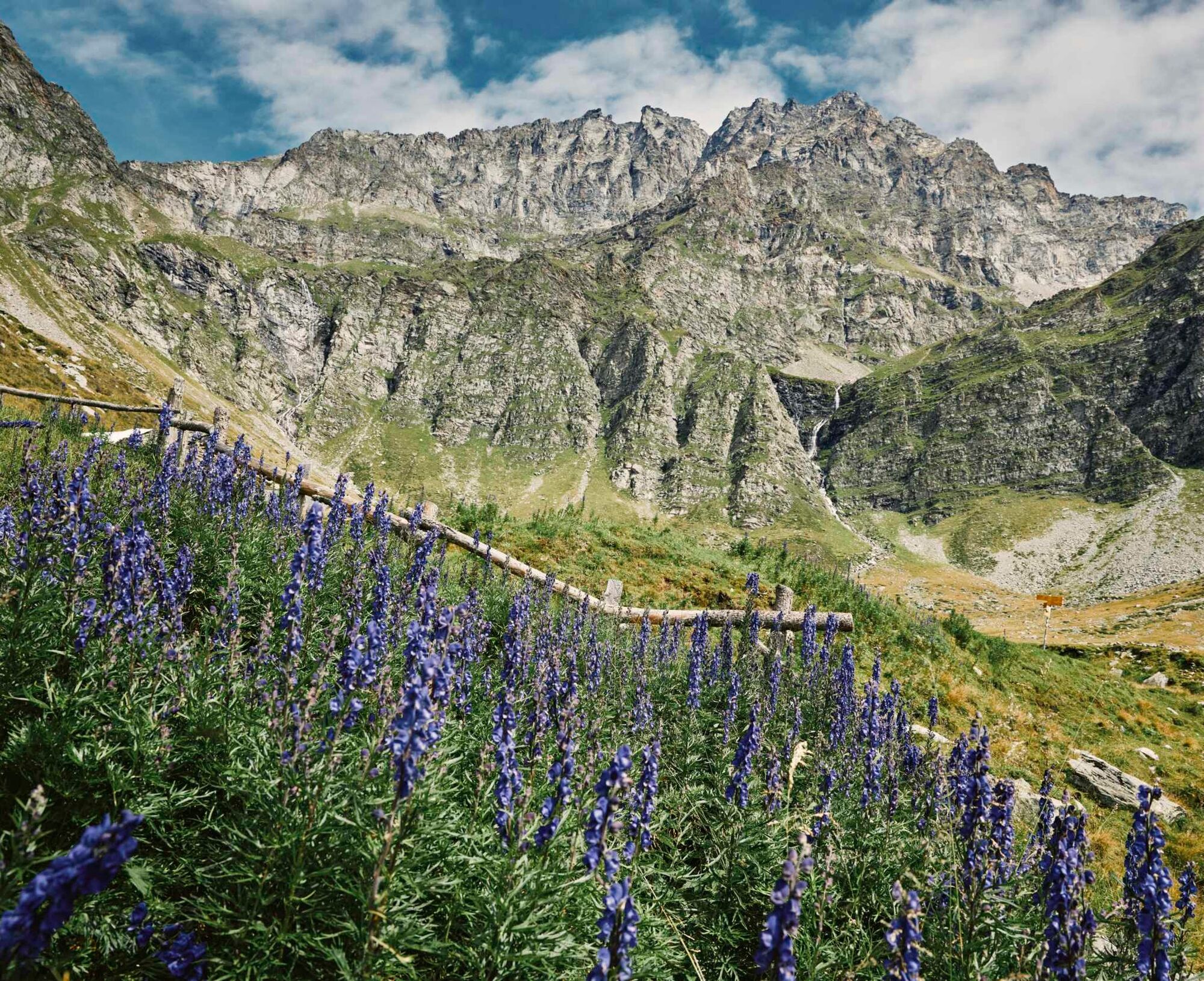
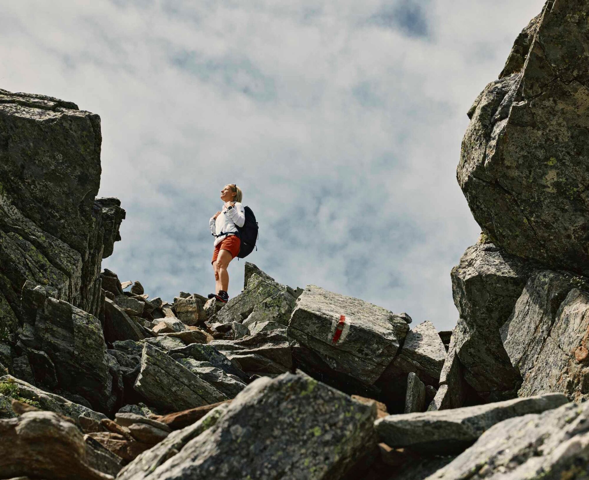
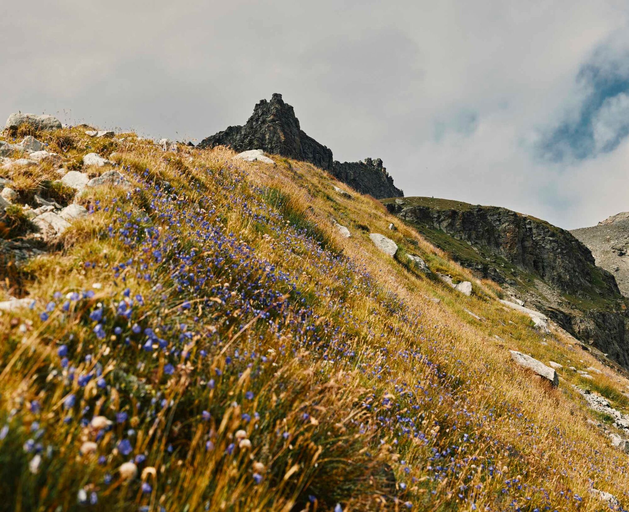
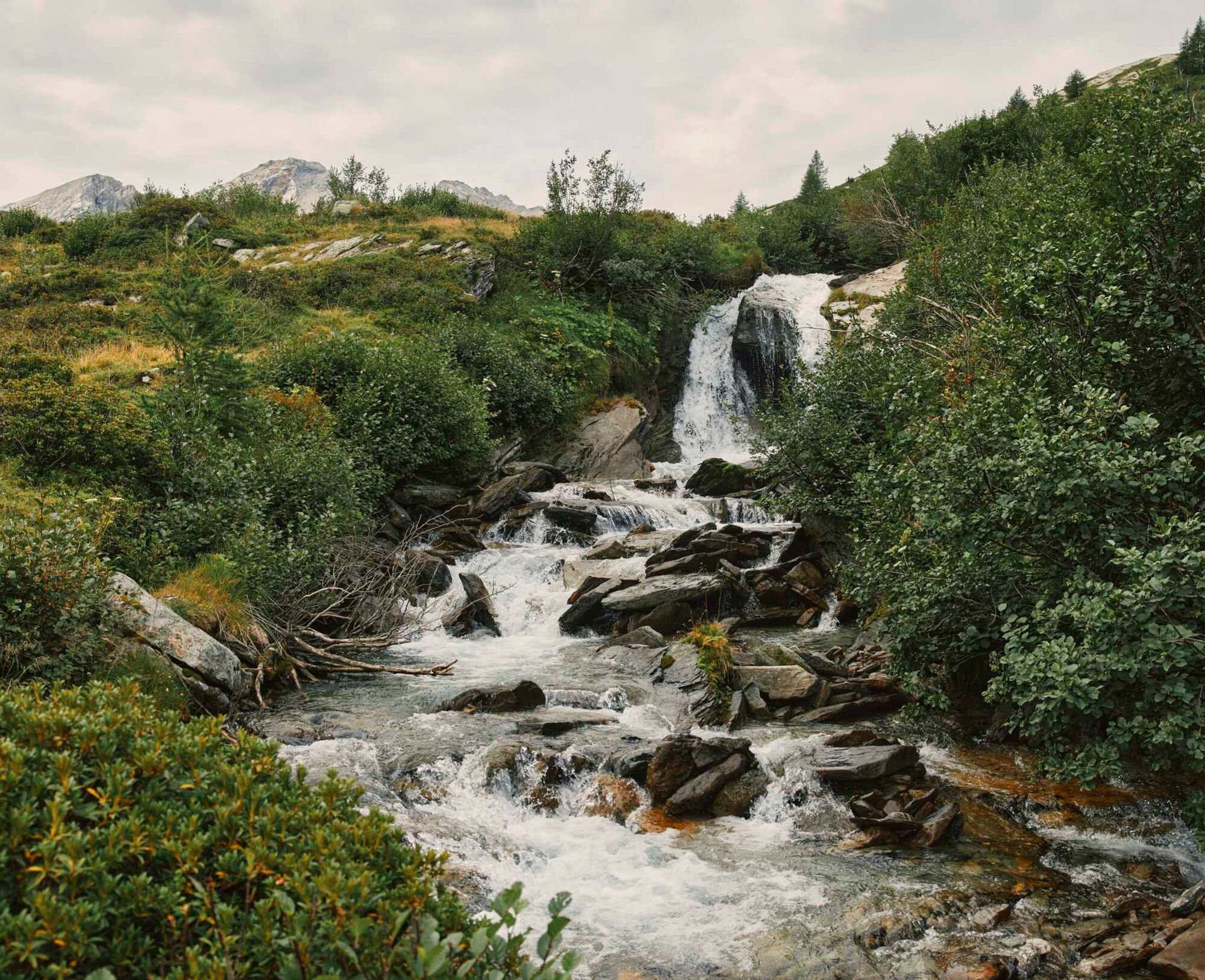
A trek far from civilization that opens the door to a new world. The air as fresh as the water of the alpine lakes and the enchanting valleys covered with colourful wildflowers contrasted by imposing and rugged peaks, among the highest in Canton Ticino, will shed new light on your eyes and your mind.
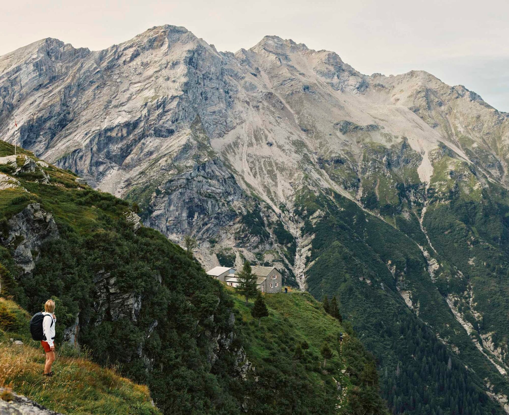
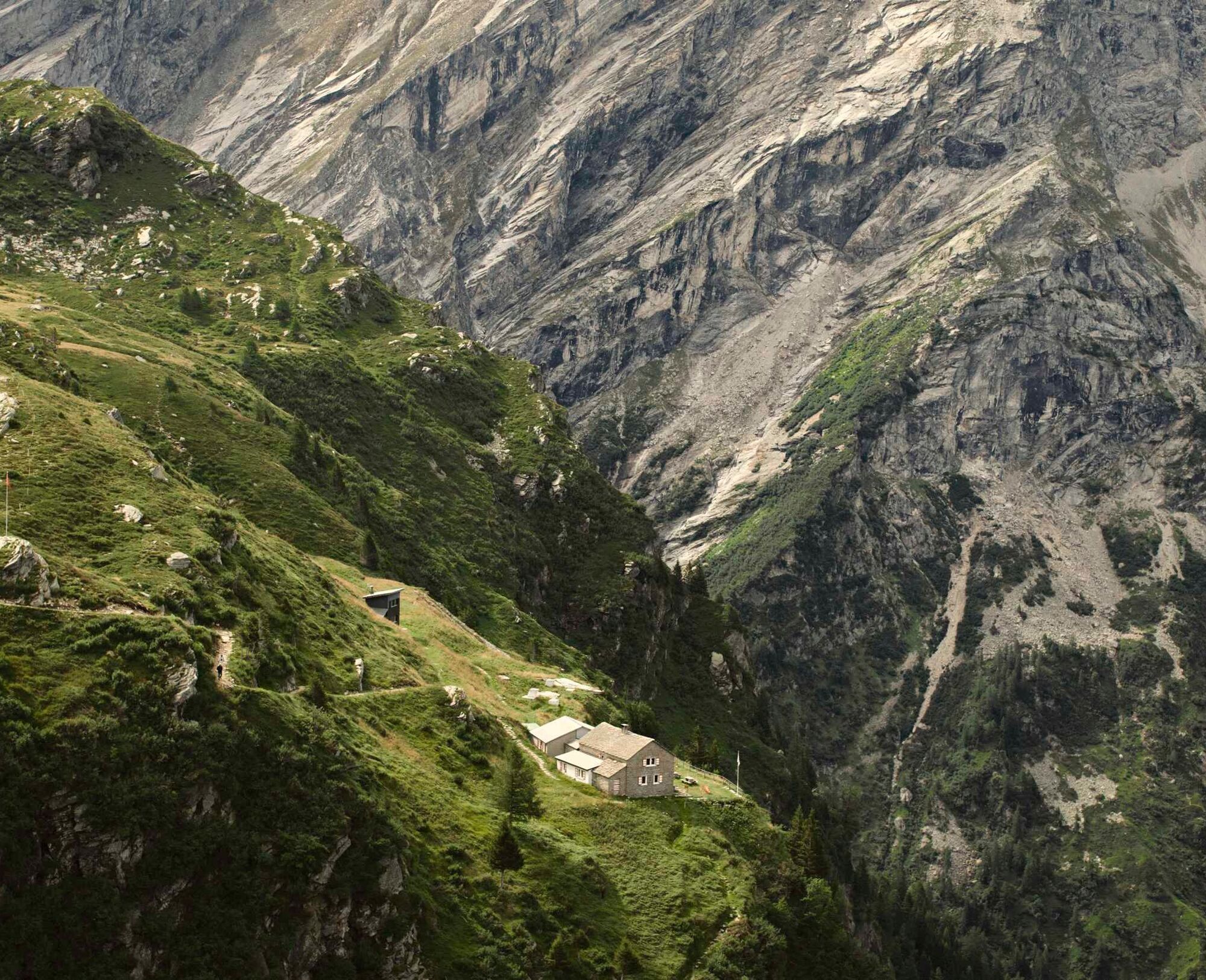
Perfectly serviced by the alpine huts which are supervised during the summer, the itinerary can be hiked in six convenient daily stages. The way is along the red-and-white marked hiking trail and the stages are never too long. There is always the possibility of entering or leaving the route.
Stage 1 (Malvaglia-Quarnei)
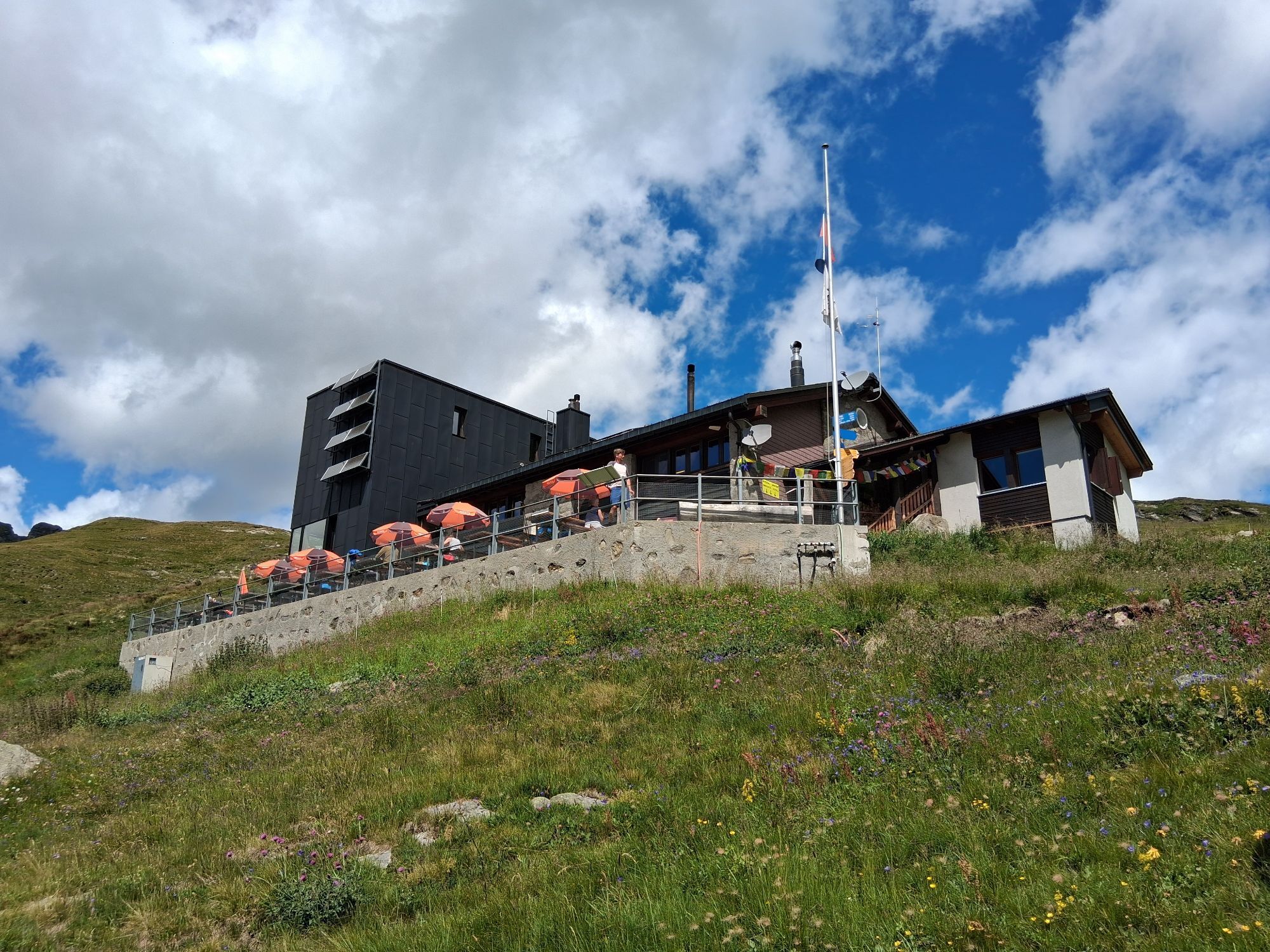
Take the cable car from Malvaglia up to the hamlet of Dagro. From the gentle terrace characterized by typical stone and wooden dwellings that were once inhabited, follow the road to Cascina di Dagro and then take the flat trail leading to Alpe di Pozzo. From here a gentle ascent leads first to Alpe Quarnei and then, after a few minutes, to Capanna Quarnei.
Stage 2 (Quarnei-Capanne Adula)
From Quarnei cross a wide plateau to ascend higher and higher, zigzagging up the steep trail that, in the final stretch, passes over a very challenging scree slope until reaching the Laghetto dei Cadabi pond and the majestic Adula Glacier. Only then descend onto the glacial deposit terrain, crossing the river that flows from the glacier, to reach within a short distance Capanna Adula UTOE or follow a brief, steep descent leading to the foot of the Carassino Valley and Capanna Adula CAS.
Stage 3 (Capanne Adula - Motterascio)
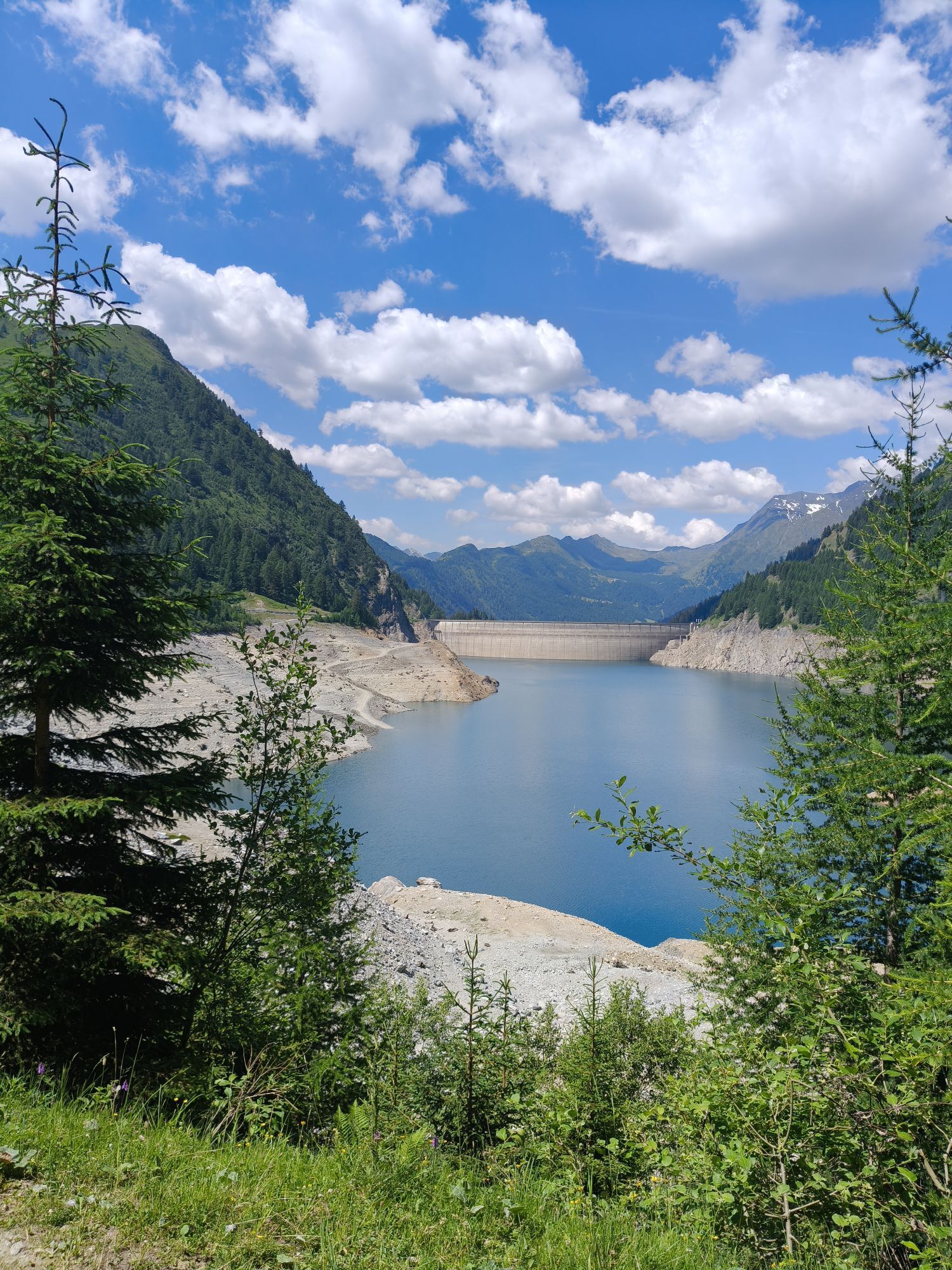
Follow the long and nearly flat dirt road in the Carassino Valley to reach the Compietto reservoir. From here continue following the dirt road through a narrow tunnel to the Luzzone Dam. From the crest of the dam take the dirt road which runs along the dam to Alpe Garzott. Then follow the wide and pleasant trail, the only uphill section of this stage, that reaches Capanna Motterascio (Michela).
Stage 4 (Motterascio - Scaletta)
From Capanna Motterascio the trail reaches Crap la Crusch, then turns west towards the Greina Pass, a nationally designated protected area. This extensive alpine tundra plain will take your breath away! A slight descent heads to Capanna Scaletta and, with a short detour, take time to admire the majestic Greina Arch.
Stage 5 (Scaletta - Bovarina)
From Capanna Scaletta descend to Pian Geirett where the Val Camadra road (closed to traffic) ends. Over grassy terrain, hike up to Pass d'Ufiern, then cross the broad, stony slopes to Lake Retico. This alpine trail is also named the "Ibex Trail": with a little luck, from above observe ibex walking on rocky ledges, admire the light step of chamois, or catch a glimpse of an eagle circling a few metres from the trail. From the lake, a trail over grassy slopes leads to Capanna Bovarina.
Stage 6 (Bovarina - Lukmanier)
Leave Capanna Bovarina and ascend westward on a comfortable trail over easy grassy ridges. Cows graze at Alpe di Bovarina for nearly two months of the year. A crescent-shaped pond is located shortly after and, ascending still further, the first huge boulders of black stone begin to emerge which, in contrast to the green meadows and the colourful flowers, make the Gana Negra a surreal, almost magical place.
Uphill hiking is finished at this point; a pleasant descent leads to the Santa Maria Dam and back to civilization, completing the itinerary.


Waterproof clothing, light and warm
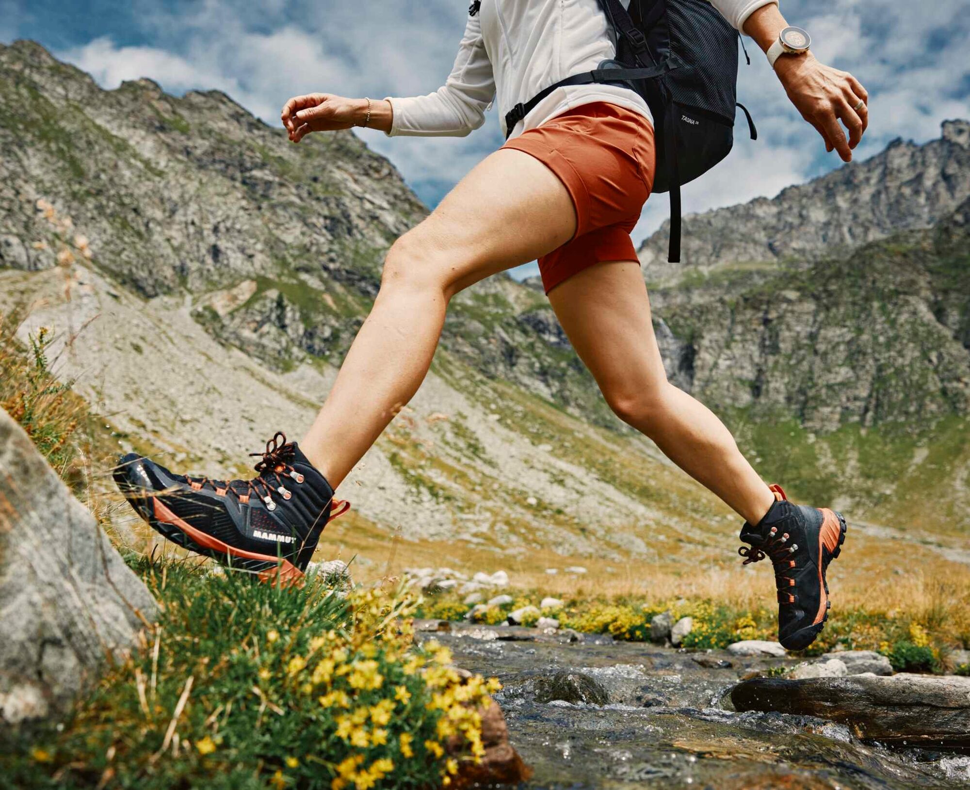
Hiking boots
Gloves, sun cap, change of clothes
Backpack maximum 5-8 kg
First aid kit with penknife
Sleeping bag for overnight in alpine hut
Torch, sunglasses, sun cream, water-bottle
Hiking map/topographic map
Compass
Camera
Food
Raincover for backpacks
Montagnepulite: This project was born to promote an effective management and sustainable use of mountain huts in Ticino, and in particular the litter management. The responsible management of litter in the mountains is a matter of common sense. We can all contribute: www.montagnepulite.ch
During the summer, the Lukmanier Pass is accessible by public transport.
Získajte prehľad
Vždy naživo na mieste s viac ako 9 500 webovými kamerami. bergfex Ako používateľ Pro si teraz môžete pozrieť príslušné webové kamery pre mnohé zájazdy v aplikácii zájazdy z. Môžete si tak priamo prezerať aktuálne podmienky.
Obľúbené výlety v okolí
-
5,0
Panorama route
svetloTuristika 5,39 km -
5,0
2-day hike Greina high plateau
ťažkéTuristika 15,5 km -
3,3
3-lake hike
strednáTuristika 12,8 km -
Giro della Greina
Turistika 50,6 km -
5,0
Winter hike Gadastatt - Frunt - Zerfreila (Panorama trail)
svetloZimná turistika 5,36 km -
4,5
Fanellhorn 3124 m
ťažkéVysoké turné 6,86 km -
5,0
Southeast Switzerland Hiking Day Vals 2017
svetloTuristika 11,8 km -
4,8
Tibet Suspension Bridge Route Riasc
svetloTuristika 6,12 km -
Furggelti 2712m
ťažkéTuristika 18,7 km -
3,5
Places of Magic - Lumbrein
strednáTuristika 8,74 km
Turistika a stopovanie


Nenechajte si ujsť ponuky a inšpiráciu na ďalšiu dovolenku
Vaša e-mailová adresa bol pridaný do poštového zoznamu.





