


Frasco-Efra Hut-Frasco
Úroveň náročnosti: T3


The route starts and ends in Frasco, reachable by car or bus (Locarno-Tenero-Sonogno line). The trail follows the course of the Efra stream through the wooded Efra Valley, rich in maples, chestnuts, and...
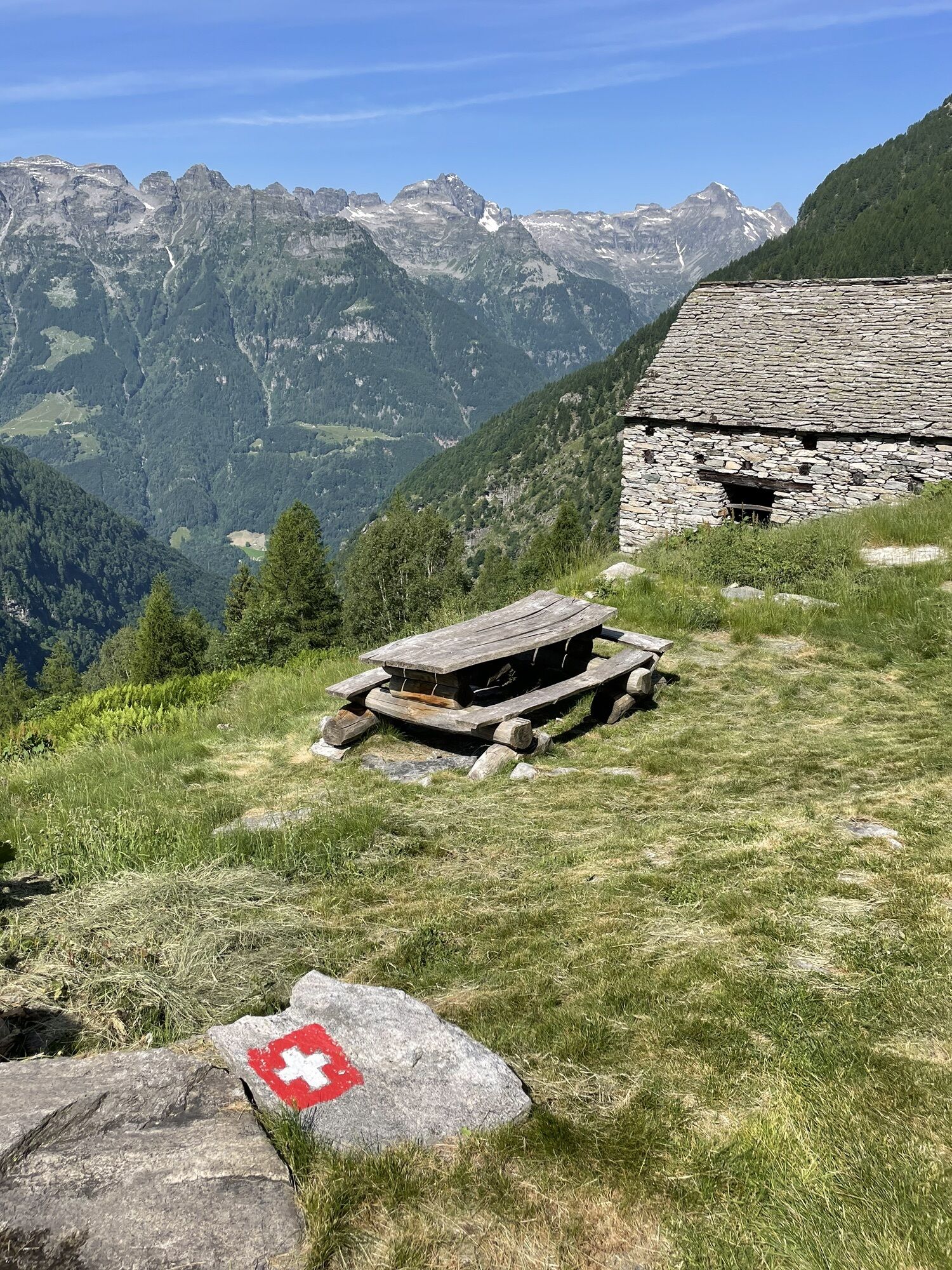
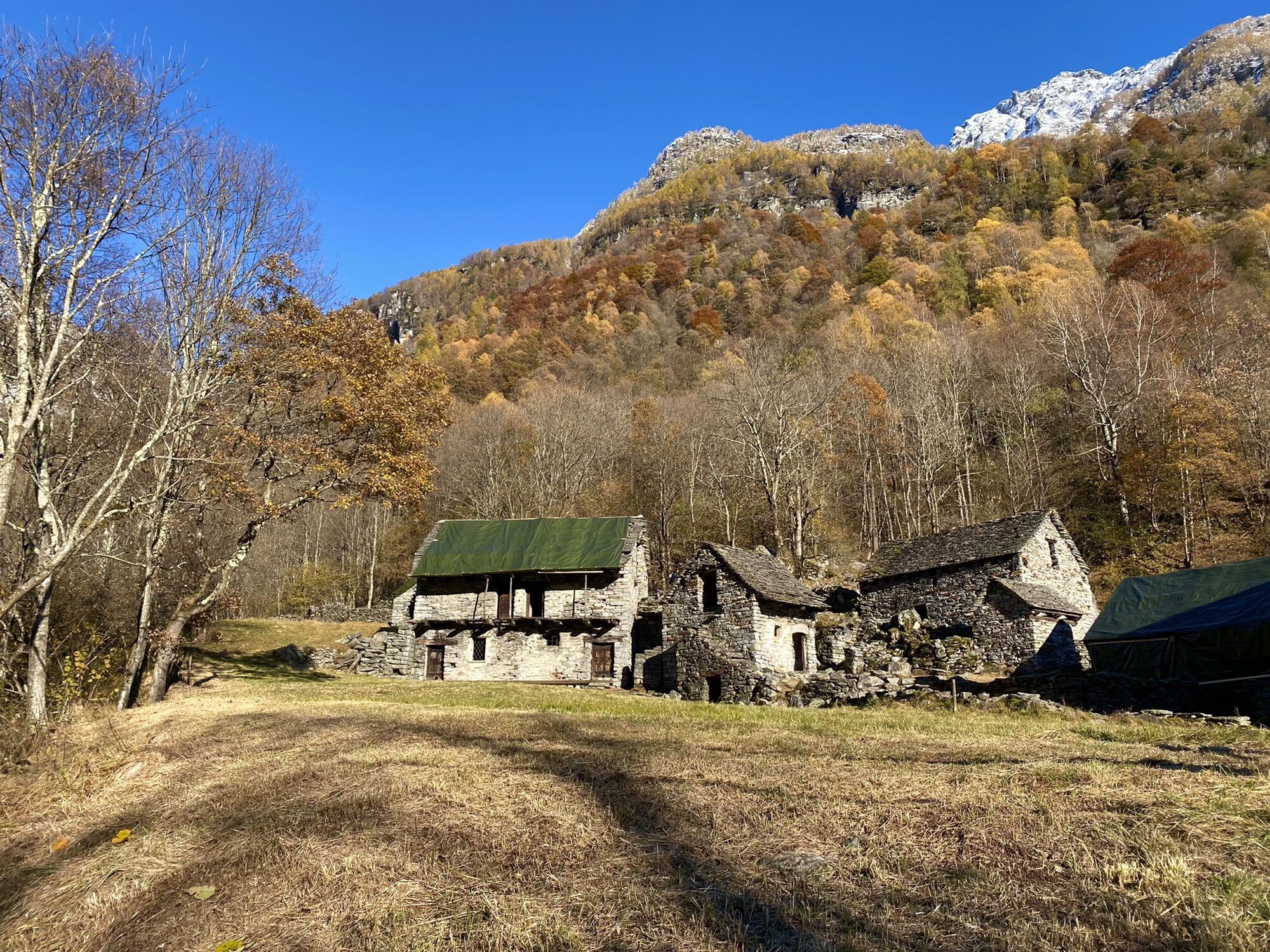
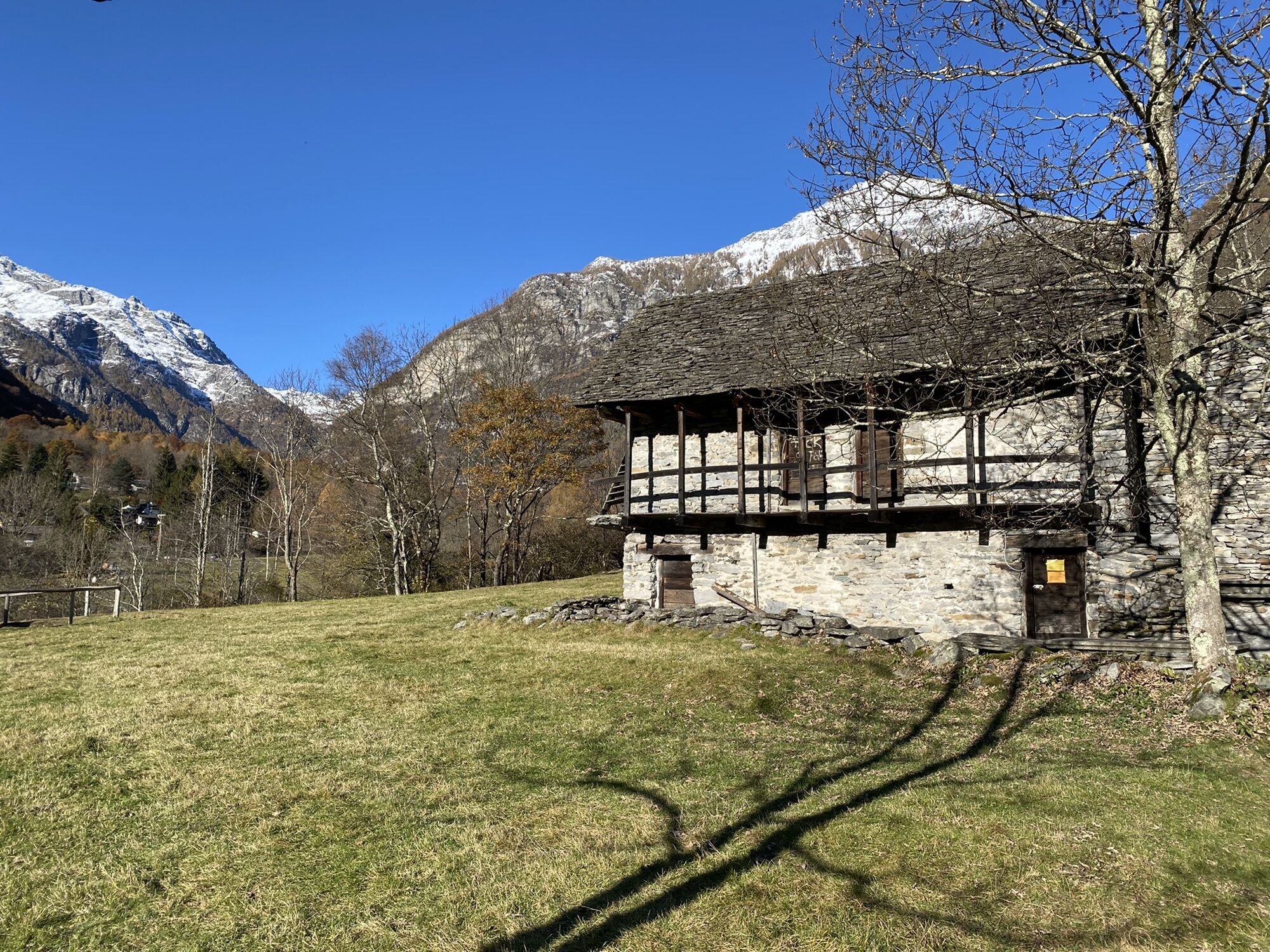
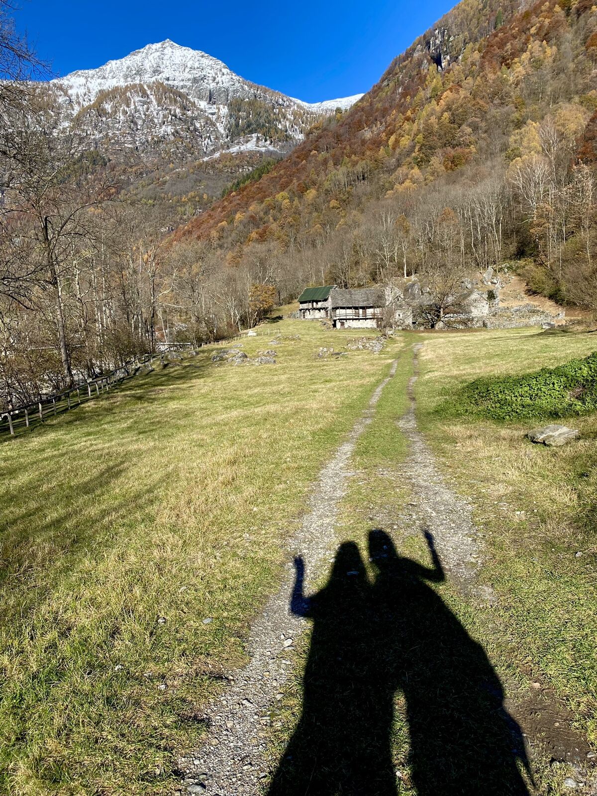
The route starts and ends in Frasco, reachable by car or bus (Locarno-Tenero-Sonogno line). The trail follows the course of the Efra stream through the wooded Efra Valley, rich in maples, chestnuts, and larches. Up to Montada the path is flat, then it begins to climb the Efra Alp, where there is a bivouac offering shelter.
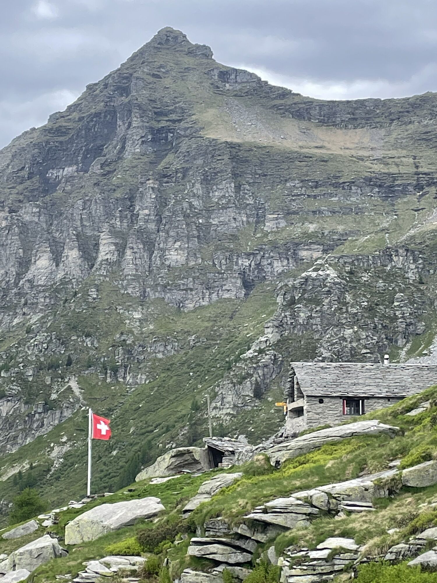
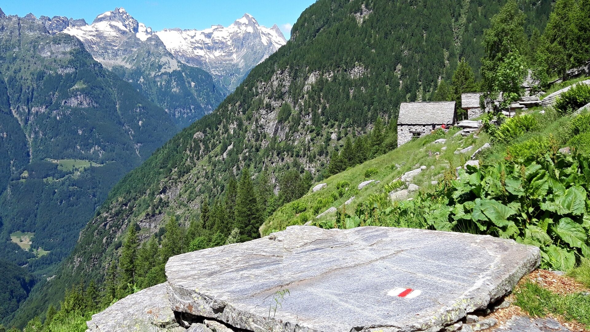
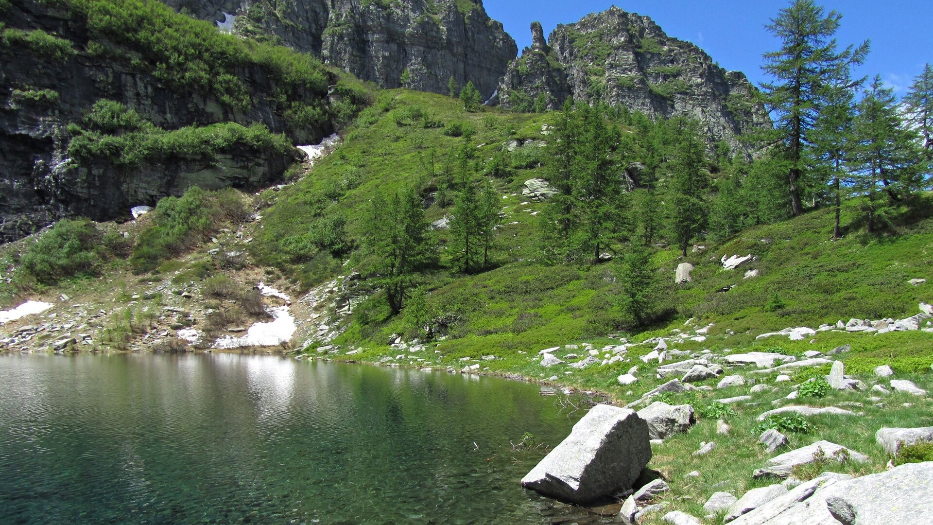
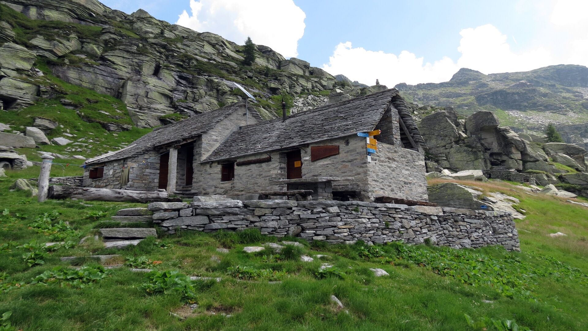
The ascent continues up to Lake Efra, which shines like a diamond set in this sparse mountain environment. A swim in the lake refreshes and invigorates. After a final uphill stretch, you reach the Efra Hut (open from June to October), where overnight stays are possible.
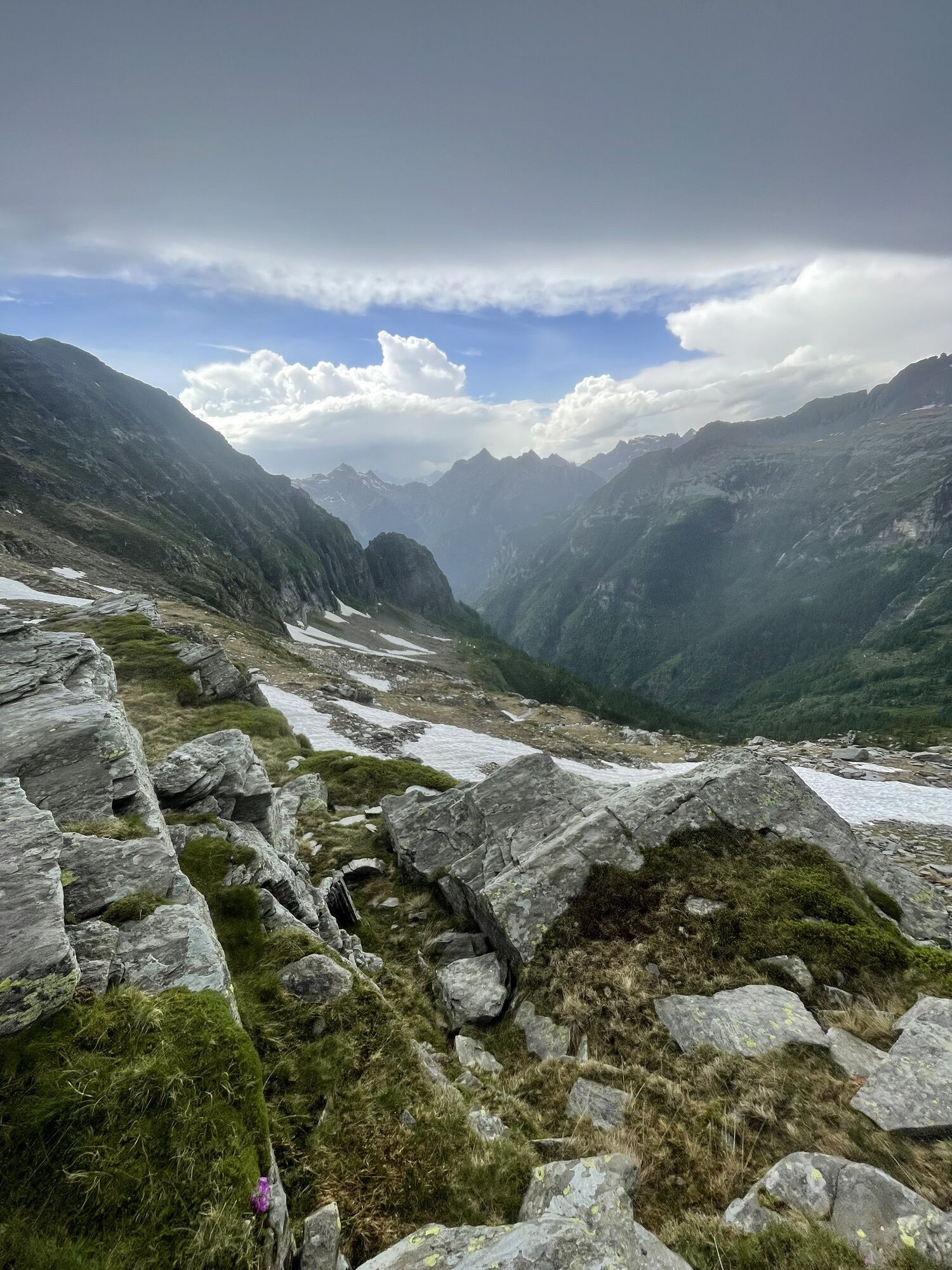
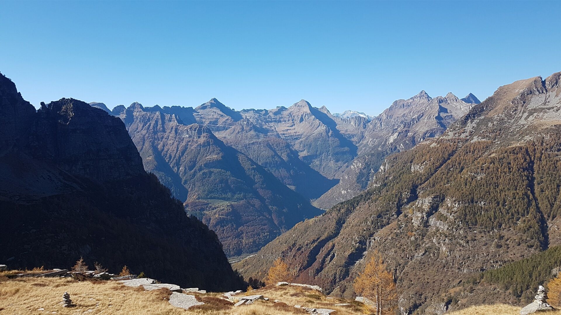
The second day is technically more demanding. The ascent goes up to the Gagnone Pass (with views over the Leventina) and under the ridge you reach the Scaiee summit (exposed!). This section should only be attempted if conditions allow it, by people free from vertigo and in good physical shape. The descent is long but easily doable. From Fromighera you follow the course of the Verzasca and return to Frasco.


Frasco, Church-Mont Val d'Efra-Lake Efra-Efra Hut-Gagnone Pass-Scaiee Pass-Corte di Fondo-La Corona di Sopra-Gerra Verzasca, Er Mòta-Le Motte del Lorentino-Sgerbi-Frasco, Church
Hiking backpack (approx. 50 liters) with rain cover
Sturdy and comfortable shoes, possibly change of shoes / sandals
Clothing suitable for weather conditions and durable, layered clothing principle
Change of clothes
Trekking poles
Protection from sun and rain
Provisions and portable water
First aid kit
Pocket knife
Mobile phone
Headlamp
Map material
Identity documents
Toiletry bag and travel towel
Hand-washing detergent and clothesline rope, camping equipment (tent, sleeping mat, sleeping bag, cooking equipment), possibly hut equipment
Swiss Paths - Safe hiking
T3


Obľúbené výlety v okolí
-
4,9
Verzasca Dam-Mergoscia-Corippo-Lavertezzo
strednáTuristika 13,0 km -
5,0
Valle del Salto round route (SvizzeraMobile 611)
strednáTuristika 8,84 km -
3,3
Entlang der Verzasca von Sonogno via Brione nach Lavertezzo
svetloTuristika 14,5 km -
5,0
Lavertezzo-Brione Verzasca
svetloTuristika 6,50 km -
4,5
Revöira Ethnographic Trail (SwitzerlandMobile 629)
strednáTuristika 7,97 km -
5,0
Verzasca Dam-Monti di Motti-Verzasca Dam
strednáTuristika 9,31 km -
Maggia-Someo-Maggia
svetloTuristika 15,5 km -
4,0
Vogorno-Alpe Bardughè-Vogorno
strednáTuristika 12,2 km -
Via Alta Vallemaggia - 1st stage: Cimetta-Capanna Alpe Nimi
ťažkéTuristika 10,2 km -
5,0
Valle Verzasca Trail
strednáTrailrunning 24,1 km
Turistika a stopovanie


Nenechajte si ujsť ponuky a inšpiráciu na ďalšiu dovolenku
Vaša e-mailová adresa bol pridaný do poštového zoznamu.