







Bovarina Bike (SwitzerlandMobility 388)
Úroveň náročnosti: S2
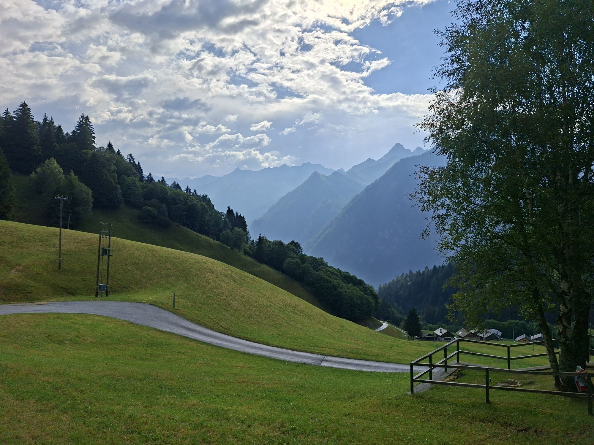
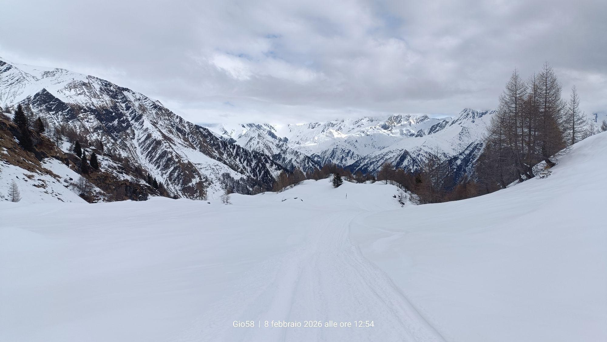
The route starts in Olivone at 890 m asl and continues towards Campo Blenio along the old gravel road of the Sosto, which is included in the inventory of Swiss communication routes for its historic and...
The route starts in Olivone at 890 m asl and continues towards Campo Blenio along the old gravel road of the Sosto, which is included in the inventory of Swiss communication routes for its historic and geomorphological features.
Upon reaching Campo Blenio, you take the comfortable asphalt road that climbs into the Campo valley. After the hamlet of Orsàira, you enter a prized grazed larch forest, subject to a recent enhancement intervention by the local Patriziato. The presence of several old and monumental larches, of imposing size, is significant from a landscape but also ecological and biodiversity standpoint.
Almost at the edge of the forest, you reach the Alpe Predasca at 1742 m asl, loaded in summer by about one hundred cows, and proceed on a gravel road until reaching the Capanna Bovarina where you enjoy a fantastic view over the Luzzone area and the mountain chain overlooking the Greina plateau, on the northeast border of the canton Ticino with the Grisons.
The fun now begins with a medium difficulty singletrail descent. From the hut, along pastures and woods, a route specially created for mountain bikes unfolds which will reward the enthusiast for the efforts of the climb with an exciting and flowing downhill ride all in one go down to Orsaira. You return on asphalt to Pianchera where a comfortable trail brings you back to Campo Blenio and then towards Olivone retracing the old Sosto road.

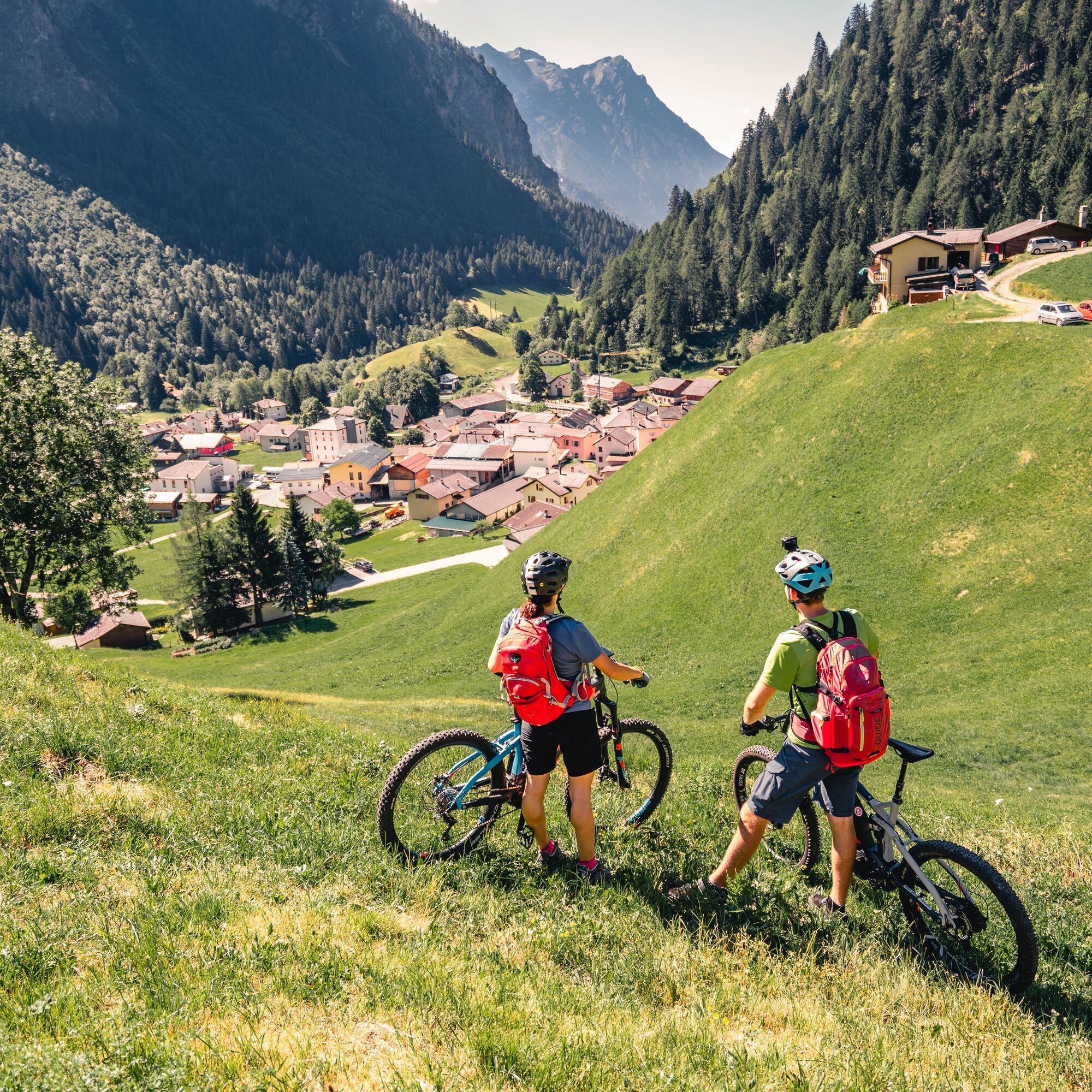
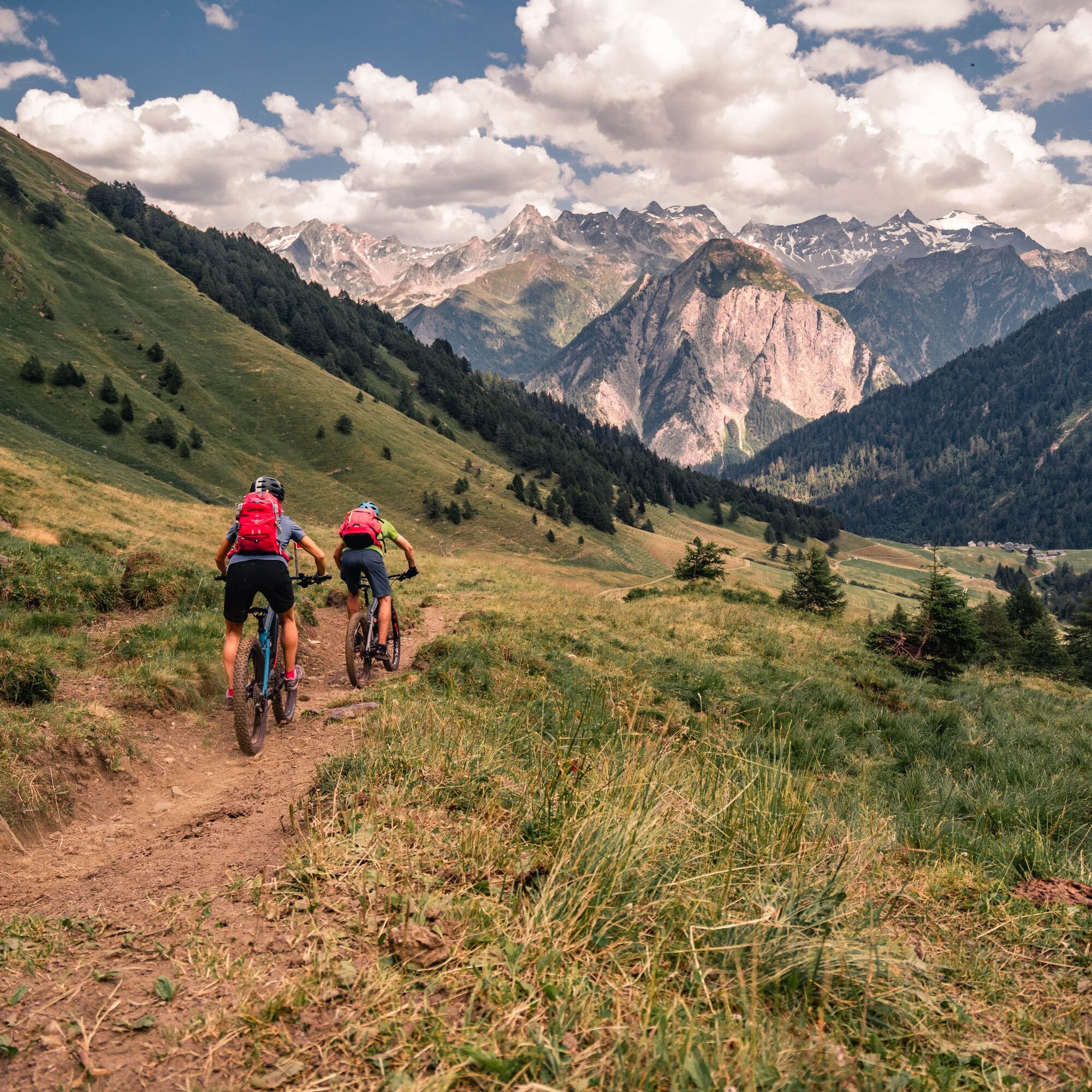
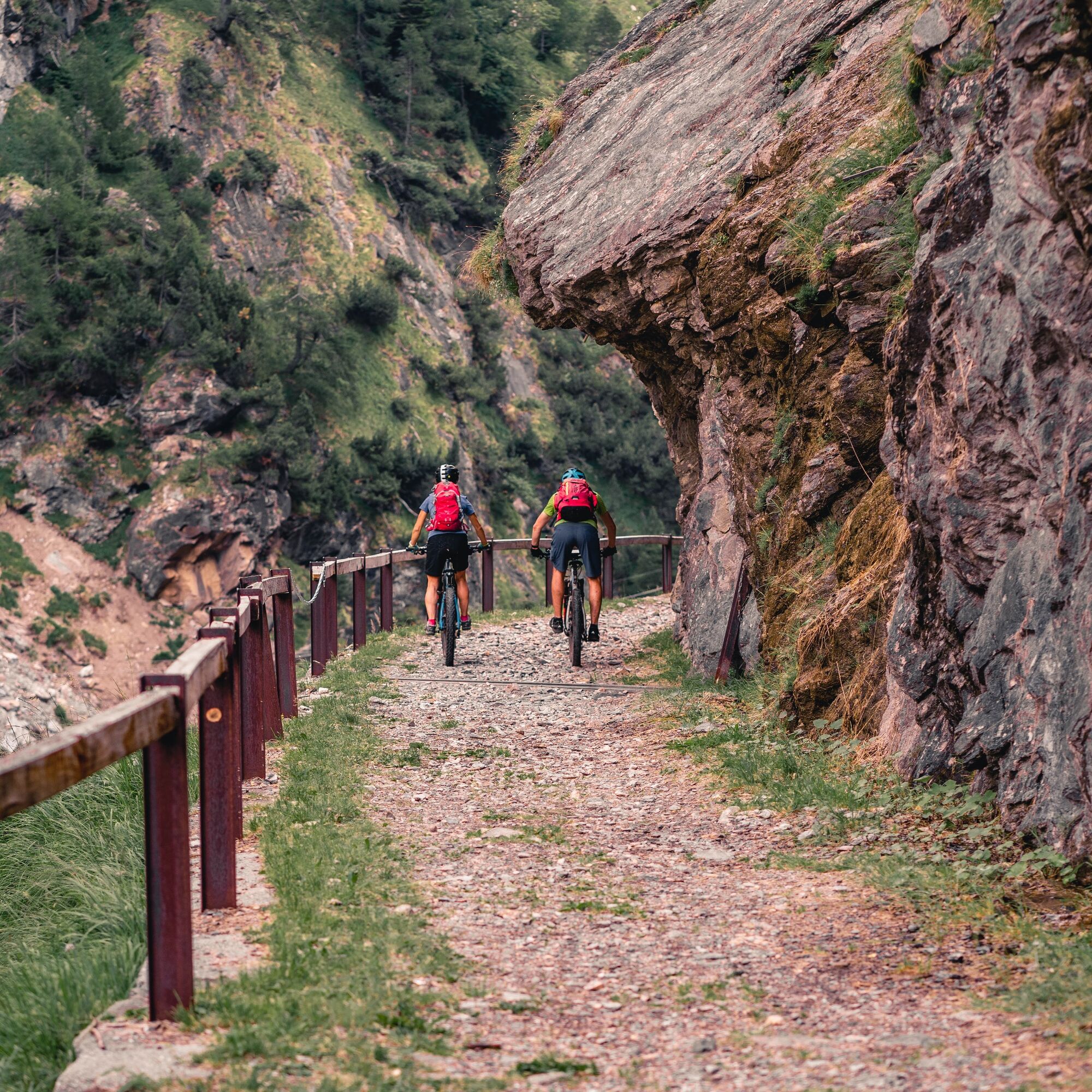
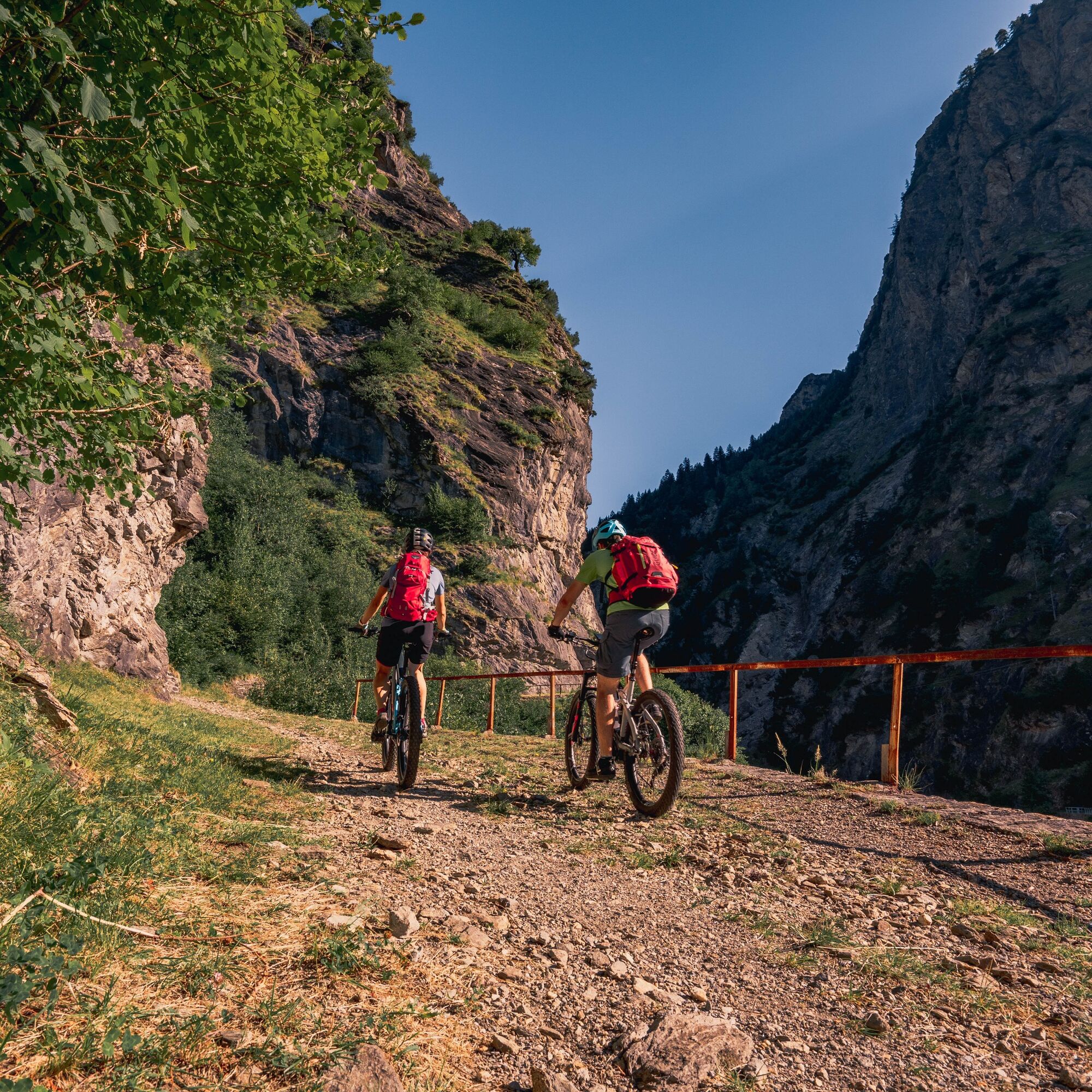

The excursion begins in Olivone at 890 metres above sea level, and continues towards Campo Blenio along the old Sosto dirt road, which is part of the historic Swiss transportation network.
After reaching Campo Blenio you continue on the easier asphalted road that ascends Campo valley. After the hamlet of Orsàira you pass through stunning larch wood pastures, which have recently been enhanced by the local municipality. Aside from adding to the beauty of the landscape, the presence of so many impressively monumental ancient larch is also significant from an environmental and biodiversity point of view.
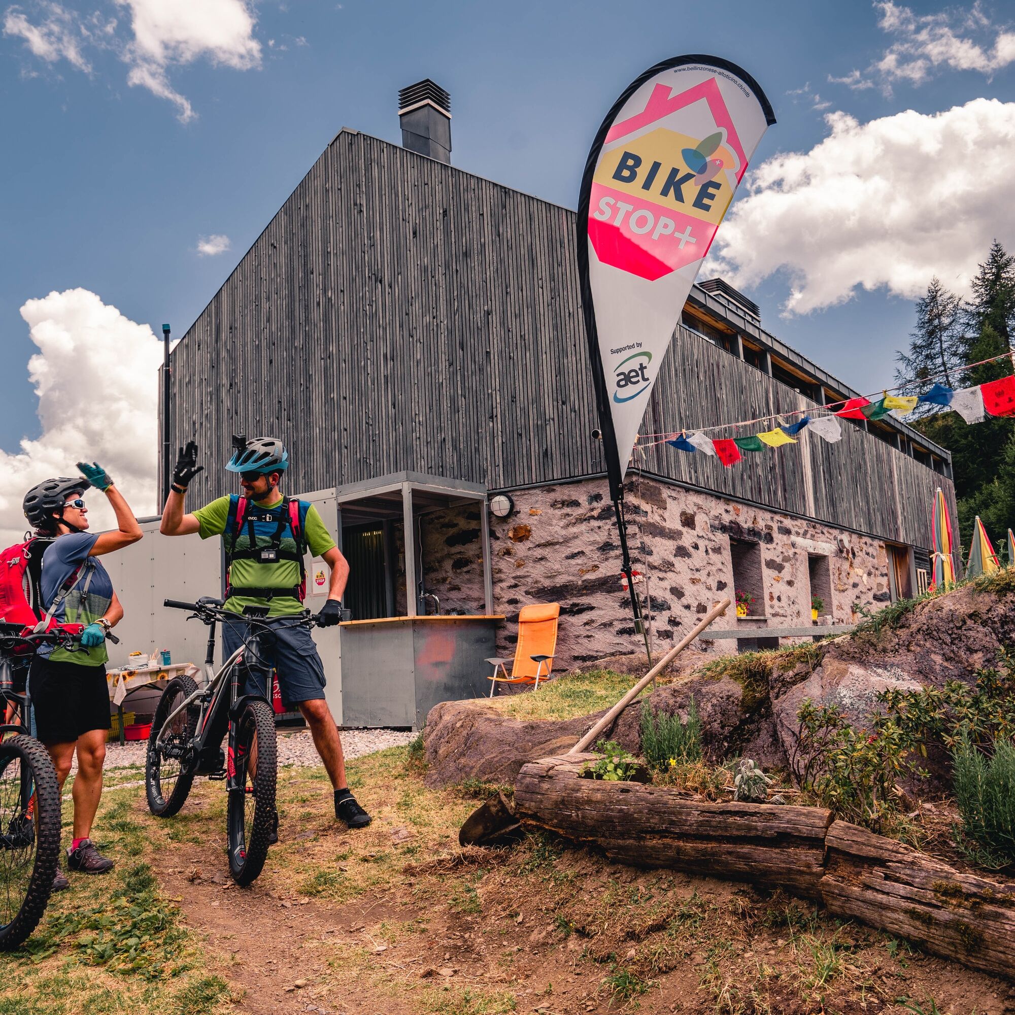
Almost at the edge of the woods is Alpe Predasca at 1,742 metres above sea level. In summer hundreds of cows graze here. Continuing along a dirt road you reach the Capanna Bovarina hut, where you can enjoy fantastic views of the Luzzone landscape and mountain chain overlooking the Greina high plateau on the north-eastern border of the Canton of Ticino with the Canton of Graubünden.
Now the fun really starts - with a descent on a single trail of average difficulty. From the hut, the route winds through pastures and woods on a path made especially for mountain bikes, rewarding the effort of the climb with an enthralling, smooth, whirlwind descent to Orsàira. You return to Pianchera on an easy asphalt road which brings you back to Campo Blenio and then to Olivone along the old Sosto road.
Careful route planning is the key to enjoying a route. Check in advance the weather conditions and the trails at local information centers. Depending on the season and weather conditions the route may be closed or interrupted.
Highway A2, exit Biasca then direction Lucomagno until Olivone. Alternative: Lukmanier Pass then direction Biasca until Olivone.
Bus no. 62.131 - Biasca to Olivone or Bus no. 62.136 - Lucomagno Pass to Olivone (from June to October).
Free parking near the town hall of Olivone.
S2
www.bellinzonese-altoticino.ch/mountainbike
Follow the mountain bike logo shown on the red signs: Bovarina Bike no. 388
 Získajte prehľad
Vždy naživo na mieste s viac ako 9 500 webovými kamerami. bergfex Ako používateľ Pro si teraz môžete pozrieť príslušné webové kamery pre mnohé zájazdy v aplikácii zájazdy z. Môžete si tak priamo prezerať aktuálne podmienky.
Získajte prehľad
Vždy naživo na mieste s viac ako 9 500 webovými kamerami. bergfex Ako používateľ Pro si teraz môžete pozrieť príslušné webové kamery pre mnohé zájazdy v aplikácii zájazdy z. Môžete si tak priamo prezerať aktuálne podmienky.
Obľúbené výlety v okolí
-
Giro della Greina
Turistika 50,6 km -
5,0
2-day hike Greina high plateau
ťažkéTuristika 15,5 km -
5,0
Passo delle Colombe - Passo del Sole
Turistika 12,4 km -
4,8
Tibet Suspension Bridge Route Riasc
svetloTuristika 6,12 km -
Val Piora lakes route
strednáTuristika 15,8 km -
Piz Terri, 3.149 m
strednáVysoké turné 6,92 km -
Furggelti 2712m
ťažkéTuristika 18,7 km -
5,0
3-day route Greina-Lucomagno: Vrin - Capanna Scaletta (Stage 1)
ťažkédiaľková pešia trasa 17,2 km -
3-day route Greina-Lucomagno (entire route / 3 stages)
strednáTuristika 39,2 km -
4,7
Source of the Brenno
svetloTuristika 6 km
Turistika a stopovanie


Nenechajte si ujsť ponuky a inšpiráciu na ďalšiu dovolenku
Vaša e-mailová adresa bol pridaný do poštového zoznamu.





