






Vitea Route
Úroveň náročnosti: T1
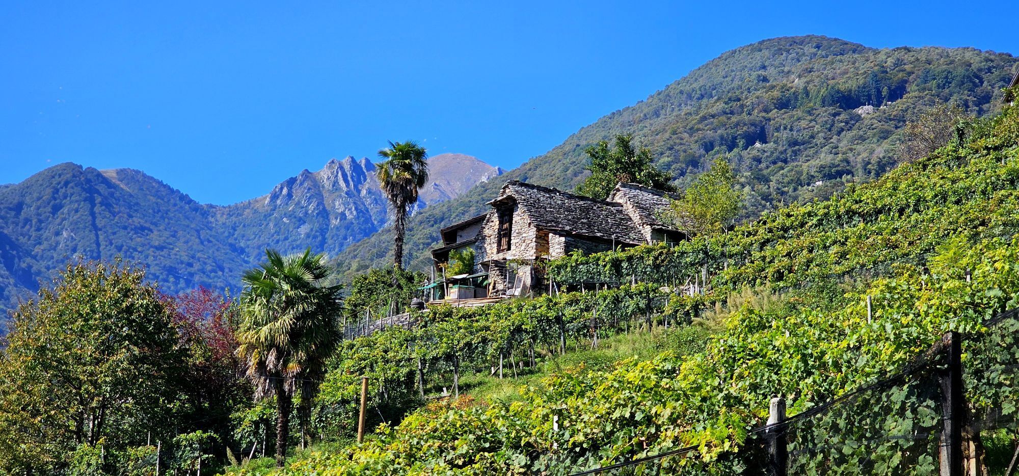
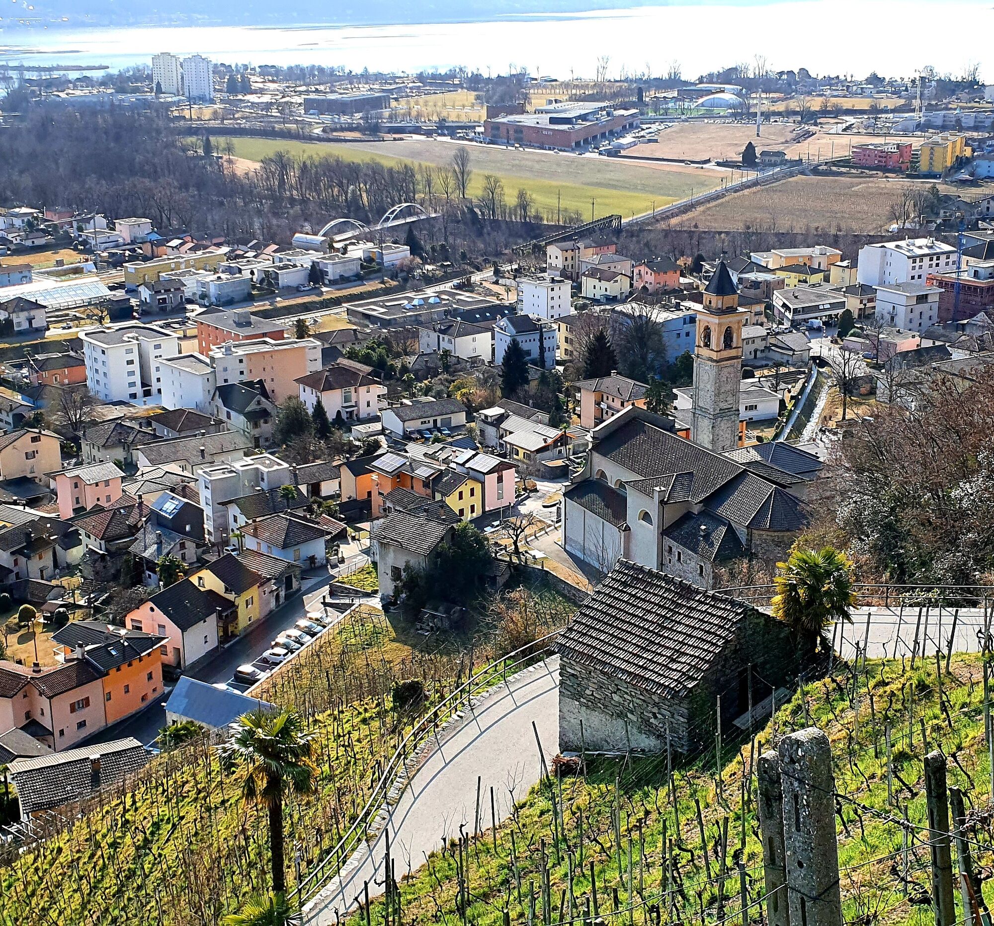
This 9 km educational trail runs through hillside vineyards in the areas of Gordola, Lavertezzo Piano and Cugnasco-Gerra. It is a circular route of medium difficulty.
The trail highlights the importance...
This 9 km educational trail runs through hillside vineyards in the areas of Gordola, Lavertezzo Piano and Cugnasco-Gerra. It is a circular route of medium difficulty.
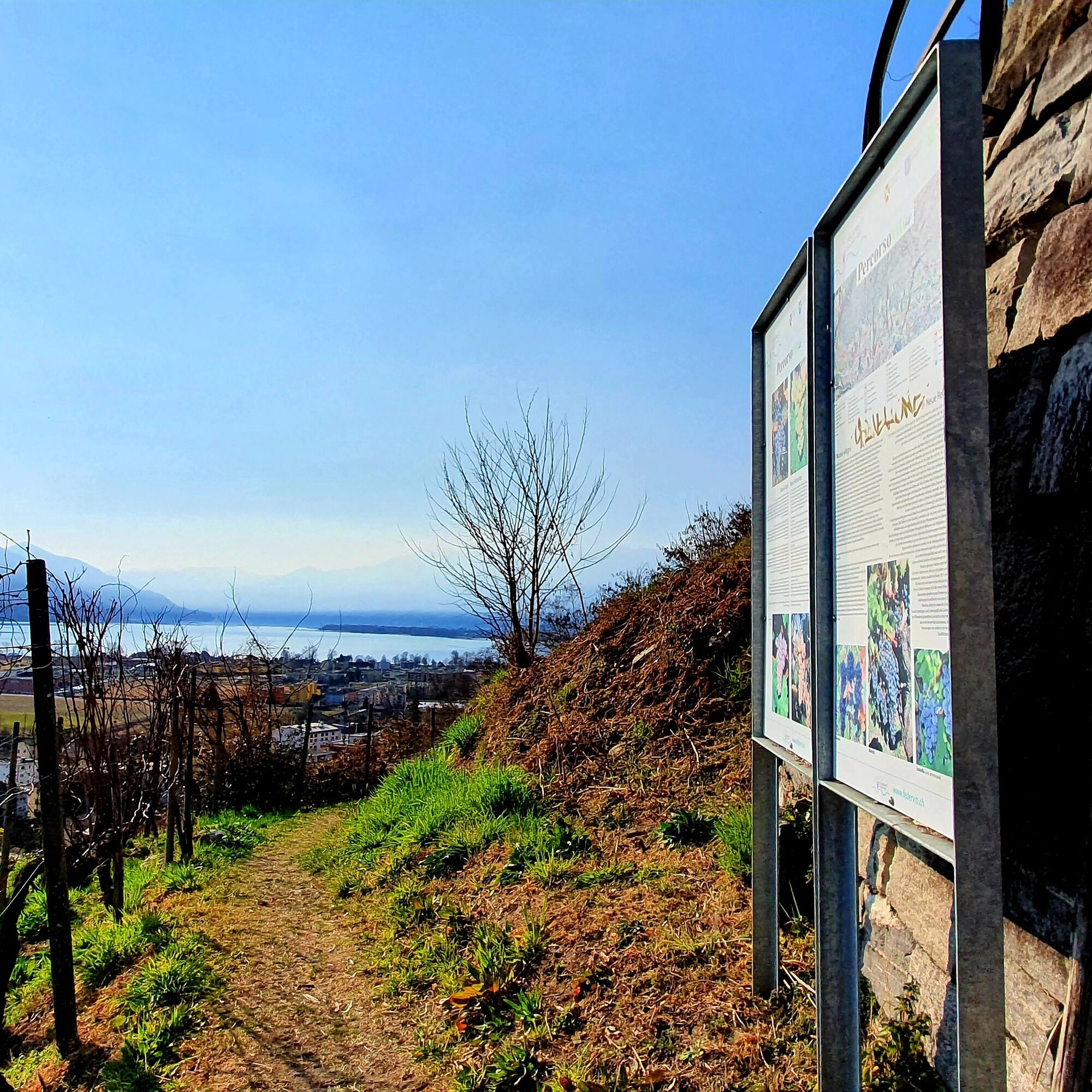
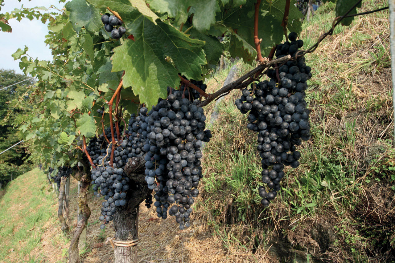
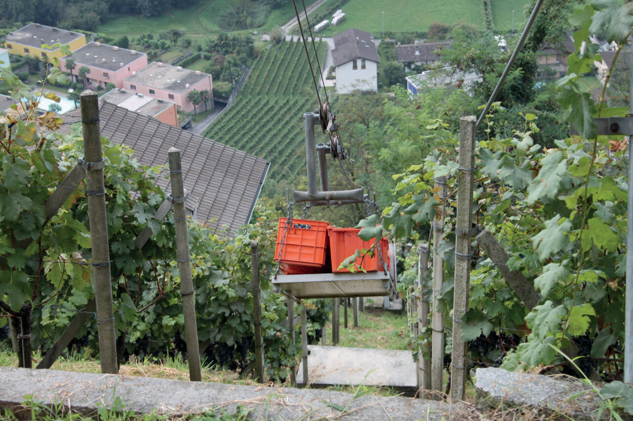
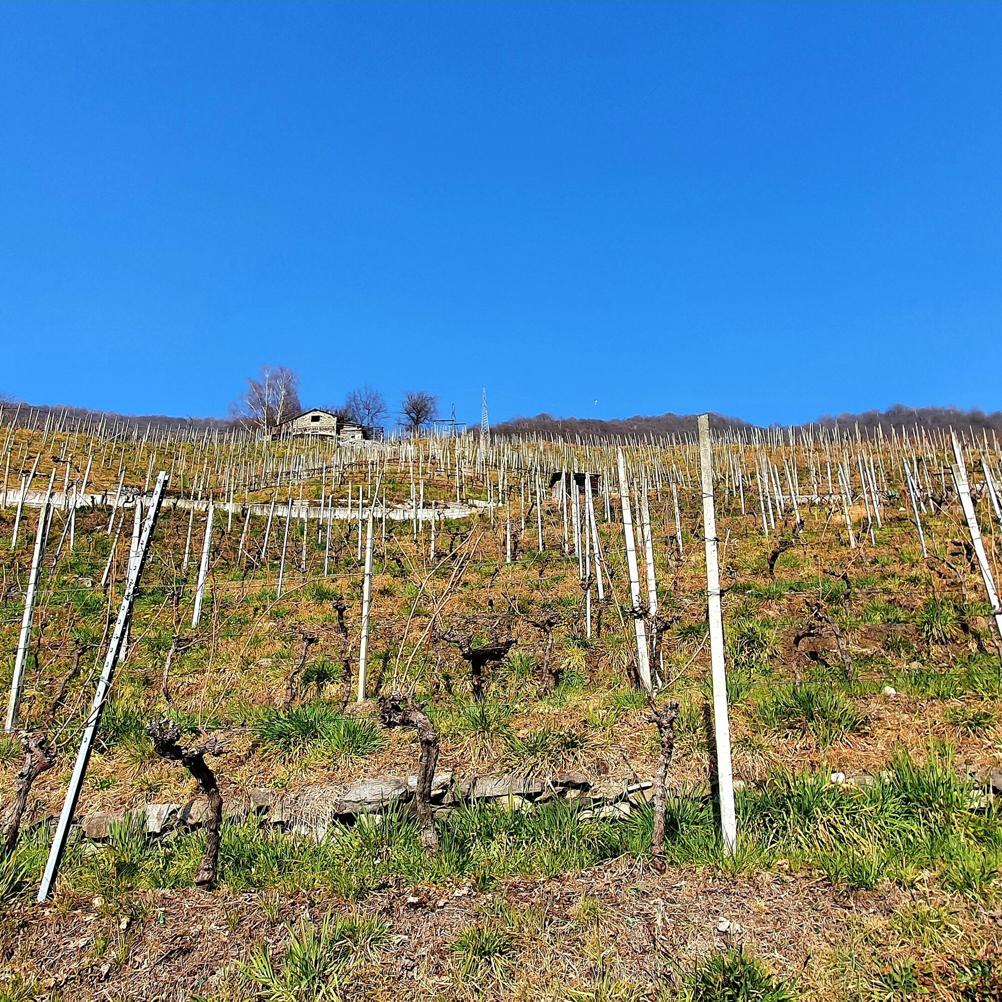
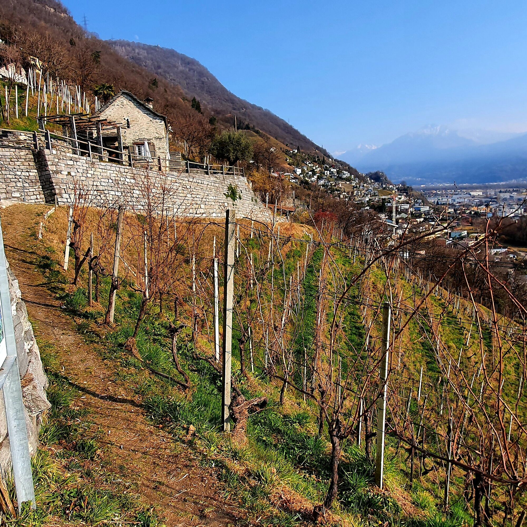
The trail highlights the importance of viticulture and the profession of the winemaker by focusing on various aspects that characterize it throughout the year. Through educational signs, different information is shared to help better understand all the aspects and peculiarities of hillside viticulture, ensuring they are not forgotten over time. It is also a tribute to the people who, over centuries with sacrifice and sweat, have shaped these rugged hills. The trail crosses vineyards and woods offering a unique panorama. Walking you discover many details and may also encounter wild animals.
The route includes 13 informative and educational signs and can be shortened or extended at any time according to the posted indications.
https://www.federviti.ch/locarno-valli/



Gordola, Sant'Antonio Church, Gordola, Via Scuole, Gordola, Via Sasso Misocco, Gordola, Via Loco Coste-Sotto Sassalto-Lavertezzo, Via Sass Fendü-Montedato, Paese-Montedato, Municipio, Gordola, Gaggiole Sopra, Gordola, Via Cecchino-Gordola-Via Pianella-Gordola, Sant'Antonio Church
Hiking backpack (approx. 20 liters) with rain cover
Sturdy and comfortable shoes
Clothing suitable for weather conditions and durable, layering principle and possibly trekking poles
Protection from sun and rain
Supplies and drinking water
First aid kit
Pocket knife
Mobile phone, possibly headlamp
Cartographic material
Swiss Trails - Safe Hiking
It is recommended to park in the public car parks at the Verzasca Dam or to use the public transport provided (PostBus, FART, SBB).
Train, stop FFS Gordola Station
Bus, stop Gordola, Municipio or Gordola, Gnesa
Parking Via Burio, Gordola, near Gordola Church.
Parking Via Centro Sportivo, Gordola, near Gnesa Restaurant.
Parking Via Gaggiole, Gordola
T1
Considered a mountain trail (white and red). The total duration is about 5 hours. We recommend always checking the map with your position ("where you are") to get an idea of the travel time.
Získajte prehľad
Vždy naživo na mieste s viac ako 9 500 webovými kamerami. bergfex Ako používateľ Pro si teraz môžete pozrieť príslušné webové kamery pre mnohé zájazdy v aplikácii zájazdy z. Môžete si tak priamo prezerať aktuálne podmienky.
Obľúbené výlety v okolí
-
4,8
Valle del Salto round route (SvizzeraMobile 611)
strednáTuristika 8,84 km -
4,9
Verzasca Dam-Mergoscia-Corippo-Lavertezzo
strednáTuristika 13,0 km -
4,6
Tibetan Bridge route (SwitzerlandMobile 628)
strednáTuristika 9,02 km -
3,3
Entlang der Verzasca von Sonogno via Brione nach Lavertezzo
svetloTuristika 14,5 km -
4,8
Avegno-Ponte Brolla-Avegno
strednáTuristika 8,56 km -
5,0
Lavertezzo-Brione Verzasca
svetloTuristika 6,50 km -
4,5
Revöira Ethnographic Trail (SwitzerlandMobile 629)
strednáTuristika 7,97 km -
4,0
Cardada Bike (SwitzerlandMobility 397)
ťažkéMountainbike 30,6 km -
5,0
Verzasca Dam-Monti di Motti-Verzasca Dam
strednáTuristika 9,31 km -
Cardada-Cimetta-Alpe Vegnasca-Cardada
strednáTuristika 6,86 km
Turistika a stopovanie


Nenechajte si ujsť ponuky a inšpiráciu na ďalšiu dovolenku
Vaša e-mailová adresa bol pridaný do poštového zoznamu.





