



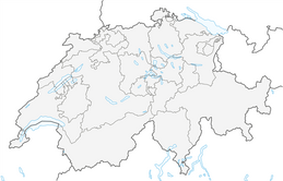


Comologno-Alpe Salèi-Vergeletto
Úroveň náročnosti: T3
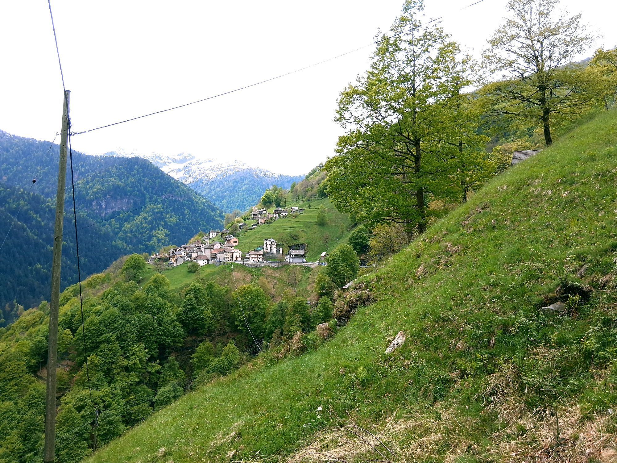
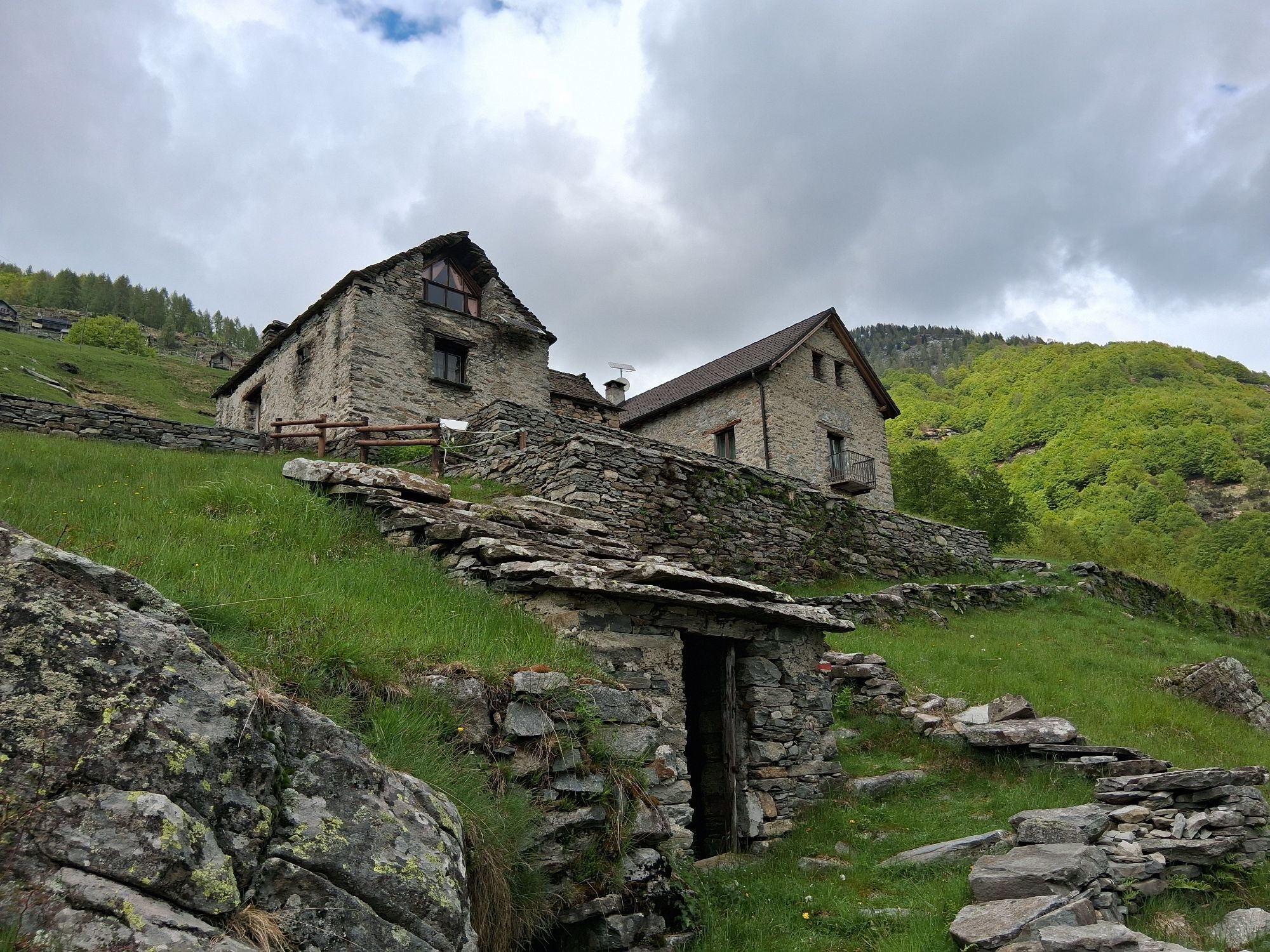
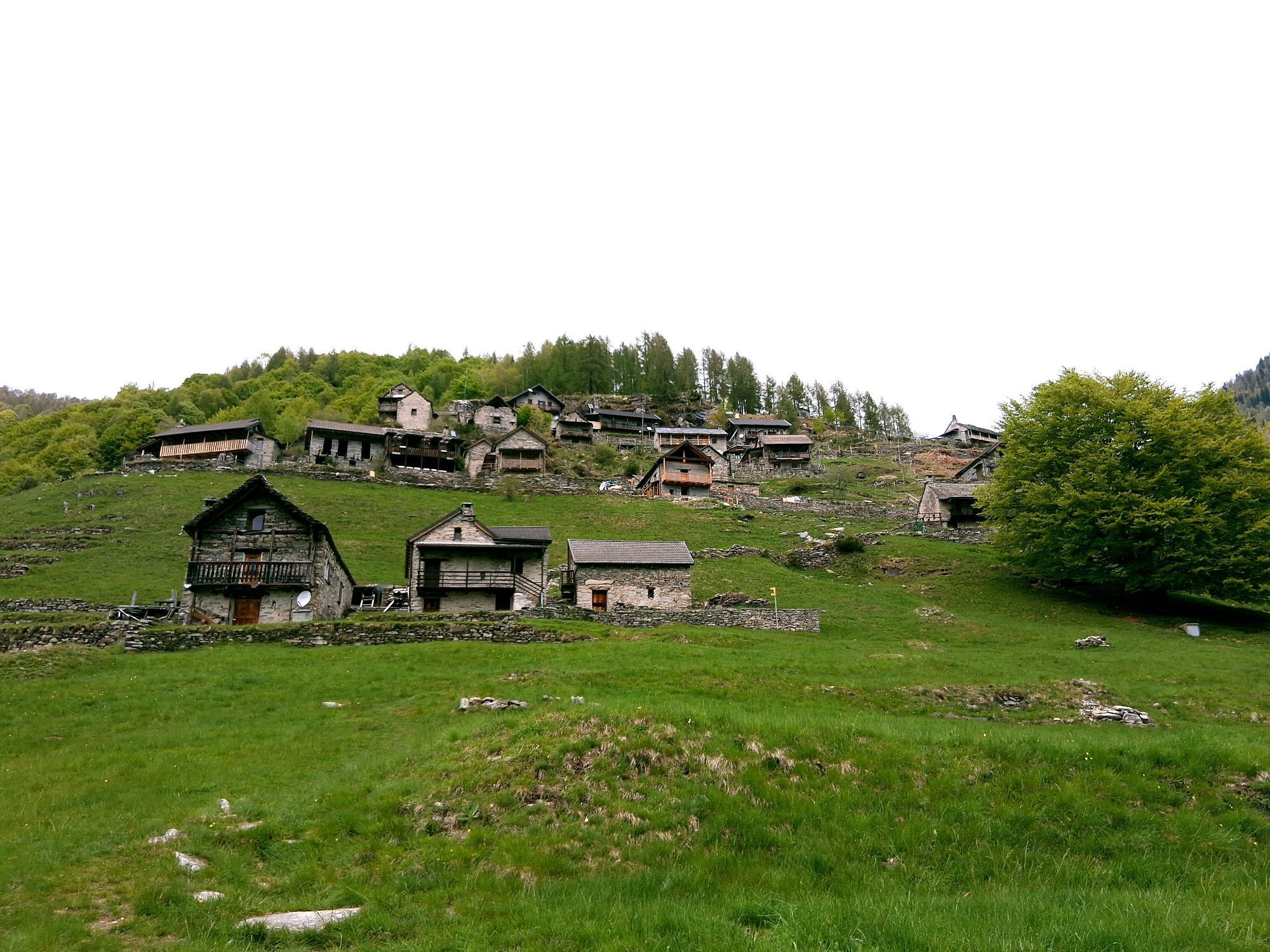
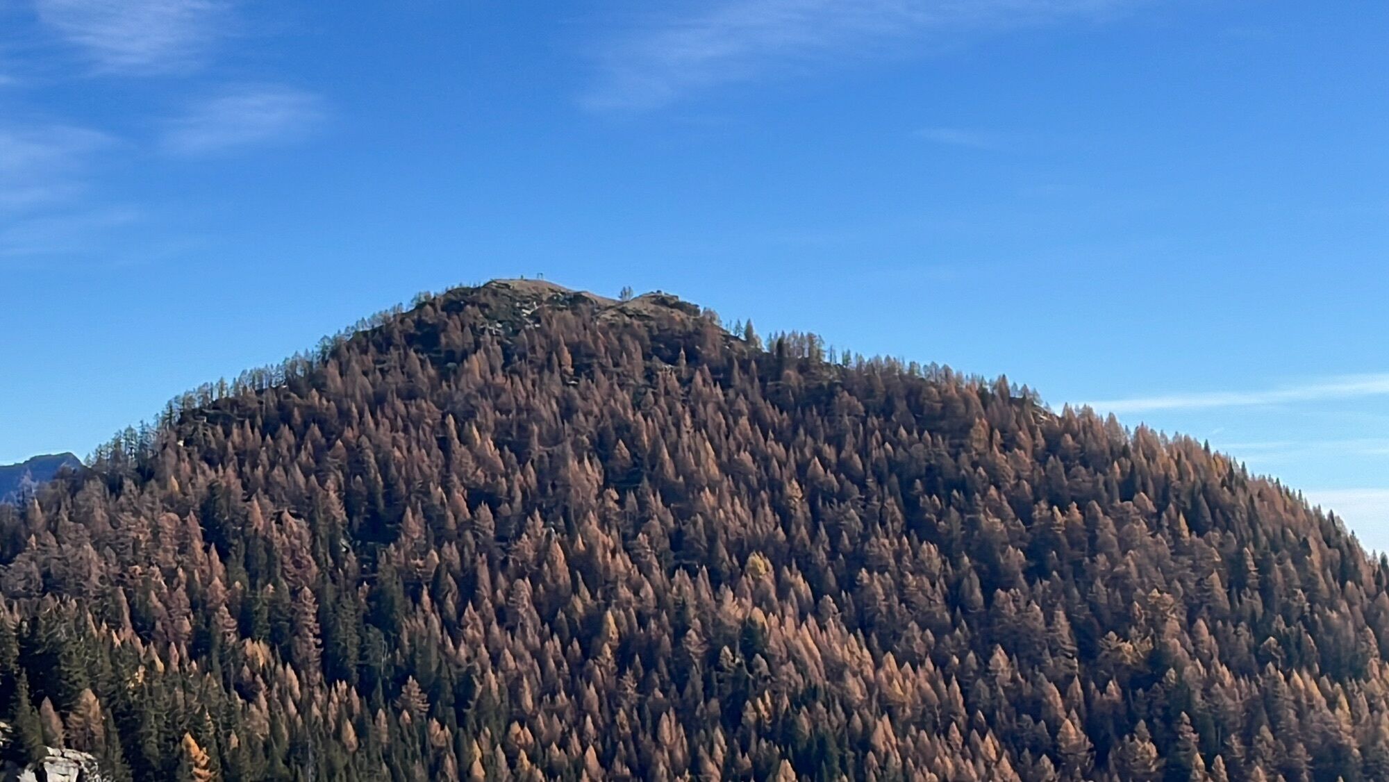
Comologno is the second most remote village in the Onsernone Valley and the starting point of this thrilling route through picturesque landscapes and local traditions. The ascent from Comologno to the...
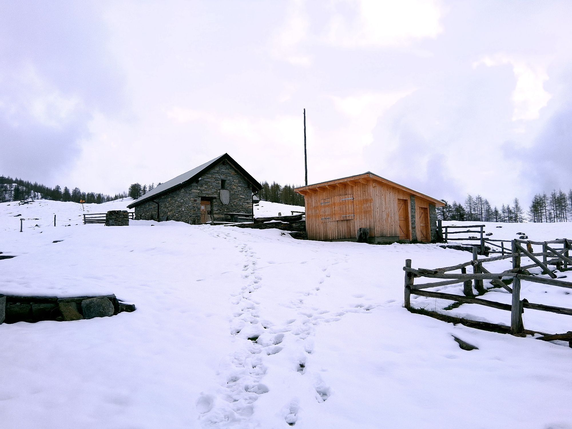
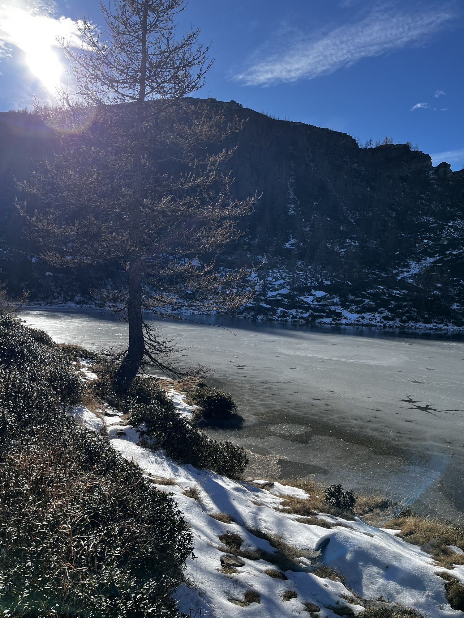
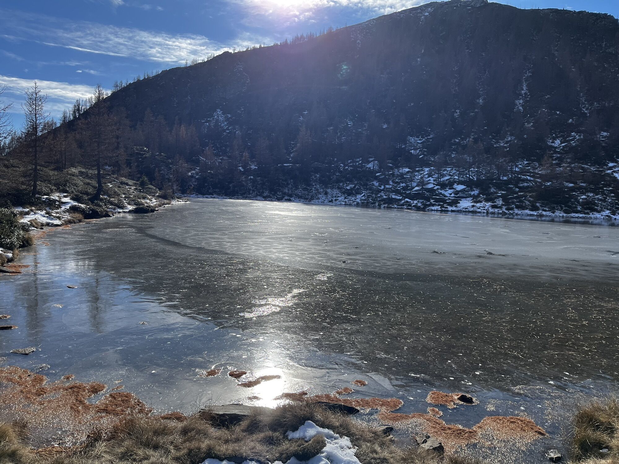
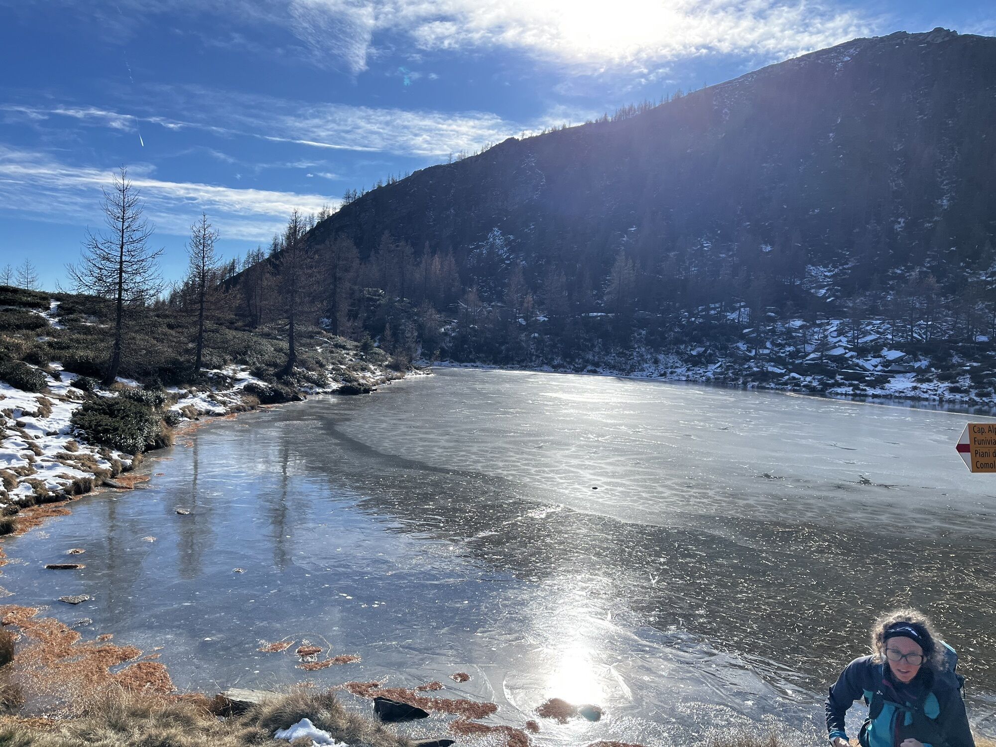
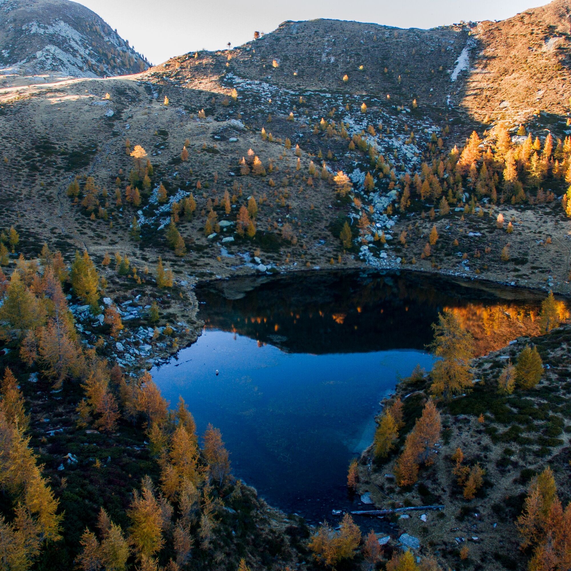
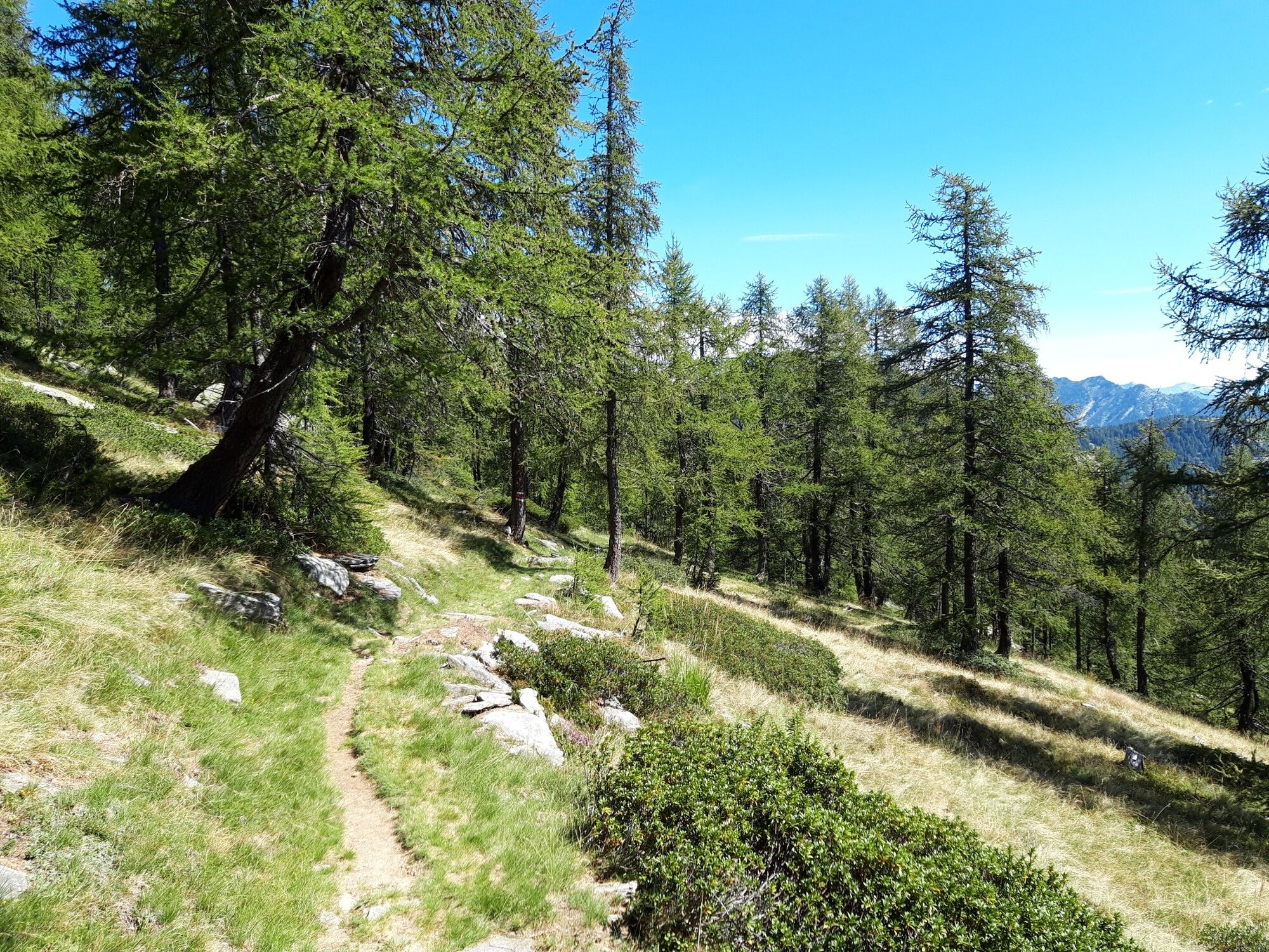
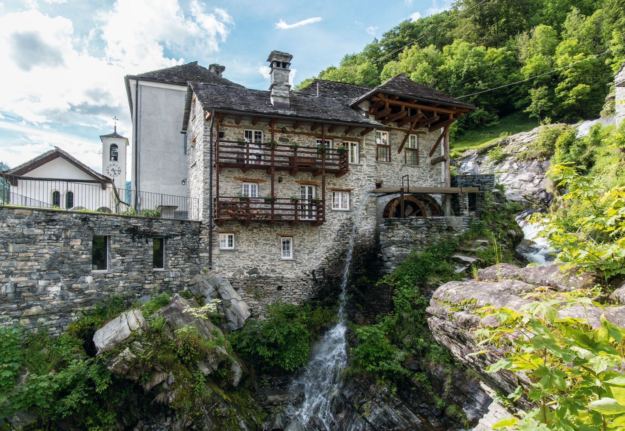
Comologno is the second most remote village in the Onsernone Valley and the starting point of this thrilling route through picturesque landscapes and local traditions. The ascent from Comologno to the sunny hamlet of Ligünc is very steep. Afterwards, the path through the forest scented with larch – offering pleasant shade in summer – leads up to Alpe Salèi. A truly magical atmosphere! If you have the desire and time, you can take a short detour to the mountain lake of the same name at Salèi; it is definitely worth it. This gem, surrounded by larches and peaks, is a real feast for the eyes. Afterwards, you can enjoy a delicious meal at the Alpe Salèi Hut before descending to Vergeletto by cable car or on foot. In Vergeletto, a few years ago, the production of the traditional Farina Bóna, a toasted corn flour that has also been declared a Slow Food Presidium, was resumed. That is where the popcorn scent in the alleys of Vergeletto comes from.
Warning: In the area around the Alpe Salei Hut there are flocks guarded by protection dogs.

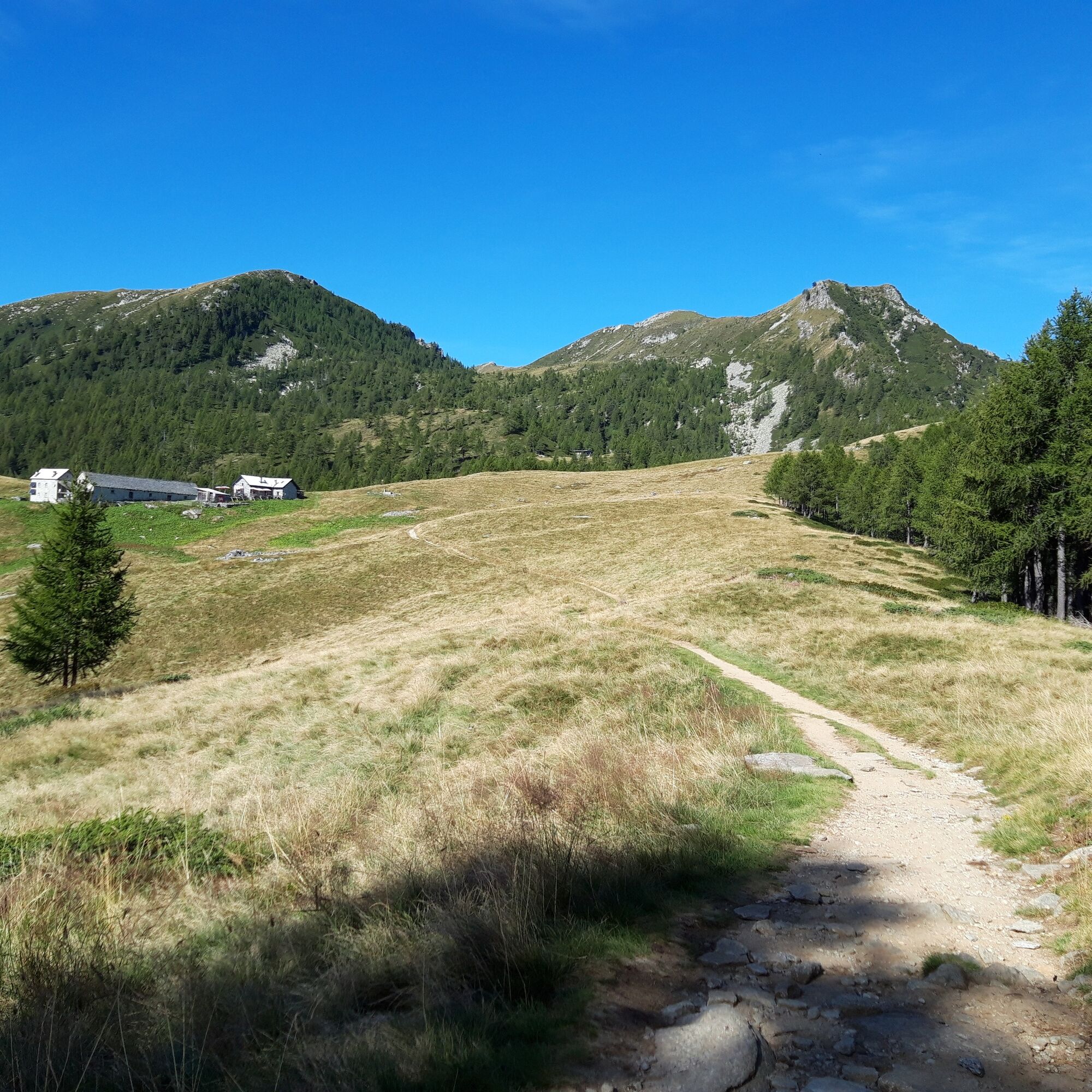
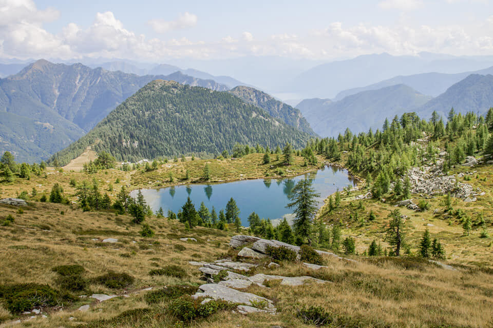
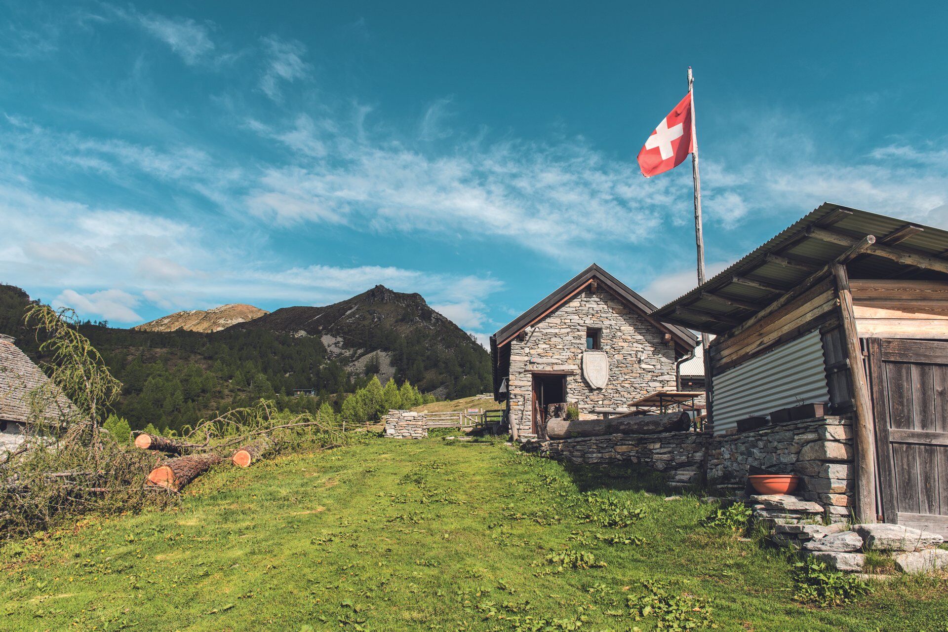

Comologno-Alpe Salei-Al Laghétt di Salèi-Alpe Salei-Vergeletto
Hiking backpack (approx. 20 liters) with rain cover
Sturdy and comfortable shoes
Clothing suitable for weather conditions and durable, layering principle, and trekking poles if needed
Protection from sun and rain
Provisions and drinking water
First aid kit
Pocket knife
Mobile phone, possibly headlamp
Map material
Swiss Trails - Safe hikes
T3
Tour durch malerische Landschaften und lebende Traditionen. Wanderung von Comologno nach Vergeletto, mit Zwischenstopp auf der Alpe Salèi.
Obľúbené výlety v okolí
-
4,8
Avegno-Ponte Brolla-Avegno
strednáTuristika 8,56 km -
5,0
Valle del Salto round route (SvizzeraMobile 611)
strednáTuristika 8,84 km -
Maggia-Someo-Maggia
svetloTuristika 15,5 km -
Via Alta Vallemaggia
ťažkéTuristika 169,7 km -
4,7
Tegna-Castelliere-Ponte Brolla-Tegna
strednáTuristika 4,63 km -
4,0
Gordevio-Alpe Nimi-Gordevio
ťažkédiaľková pešia trasa 15,2 km -
5,0
Spruga-Alpe Saléi-Comologno
strednáTuristika 8,96 km -
5,0
The energy places of Arcegno
svetloTematická trasa 3,60 km -
5,0
In the footsteps of Mr. Geiser
strednáTematická trasa 6,73 km -
5,0
Loco-Vosa-Intragna
strednáTuristika 5,96 km

Turistika a stopovanie


Nenechajte si ujsť ponuky a inšpiráciu na ďalšiu dovolenku
Vaša e-mailová adresa bol pridaný do poštového zoznamu.





