







Via Alta della Verzasca - 3rd stage: Cornavosa hut - Efra hut

Úroveň náročnosti: T5
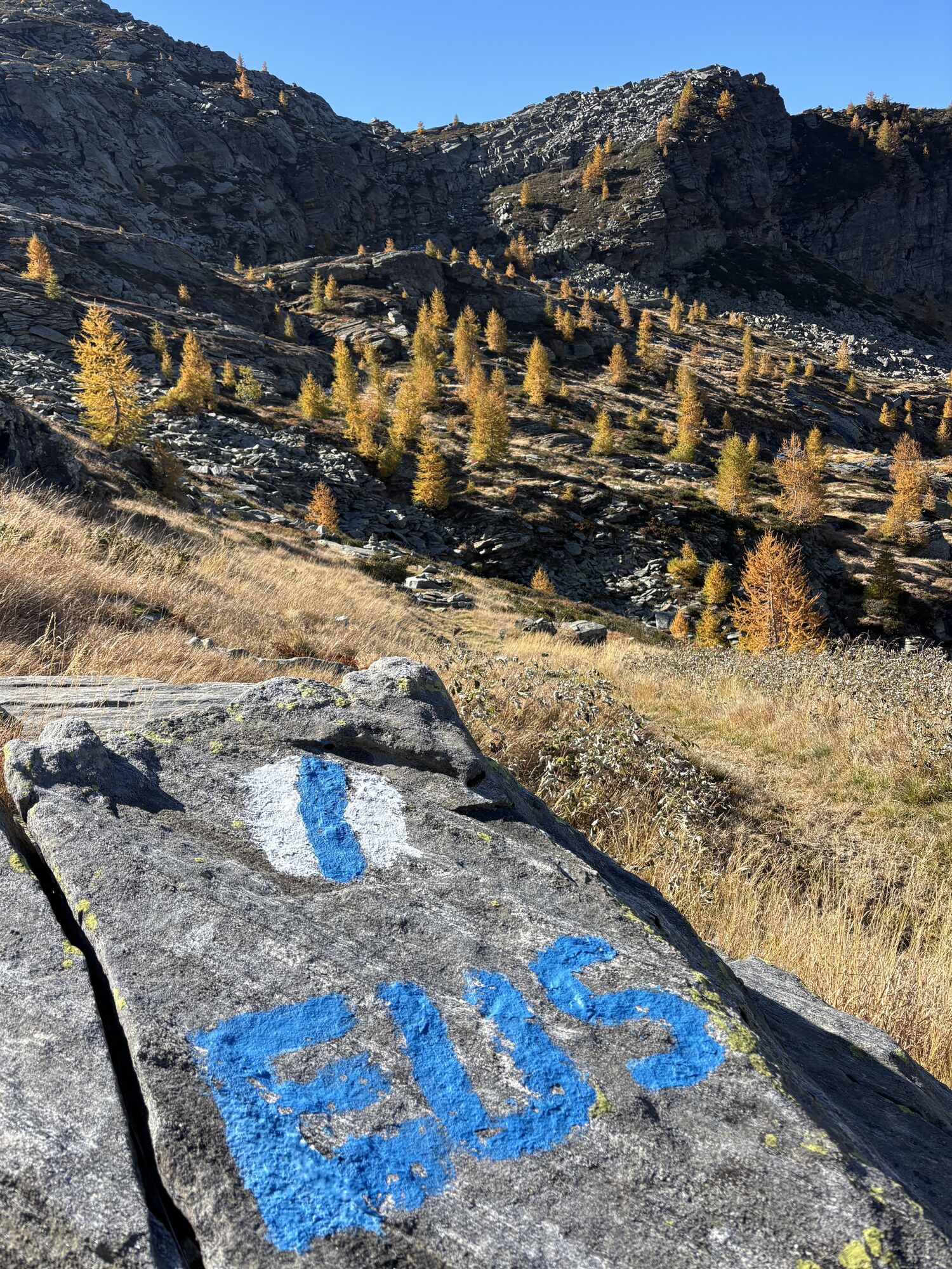
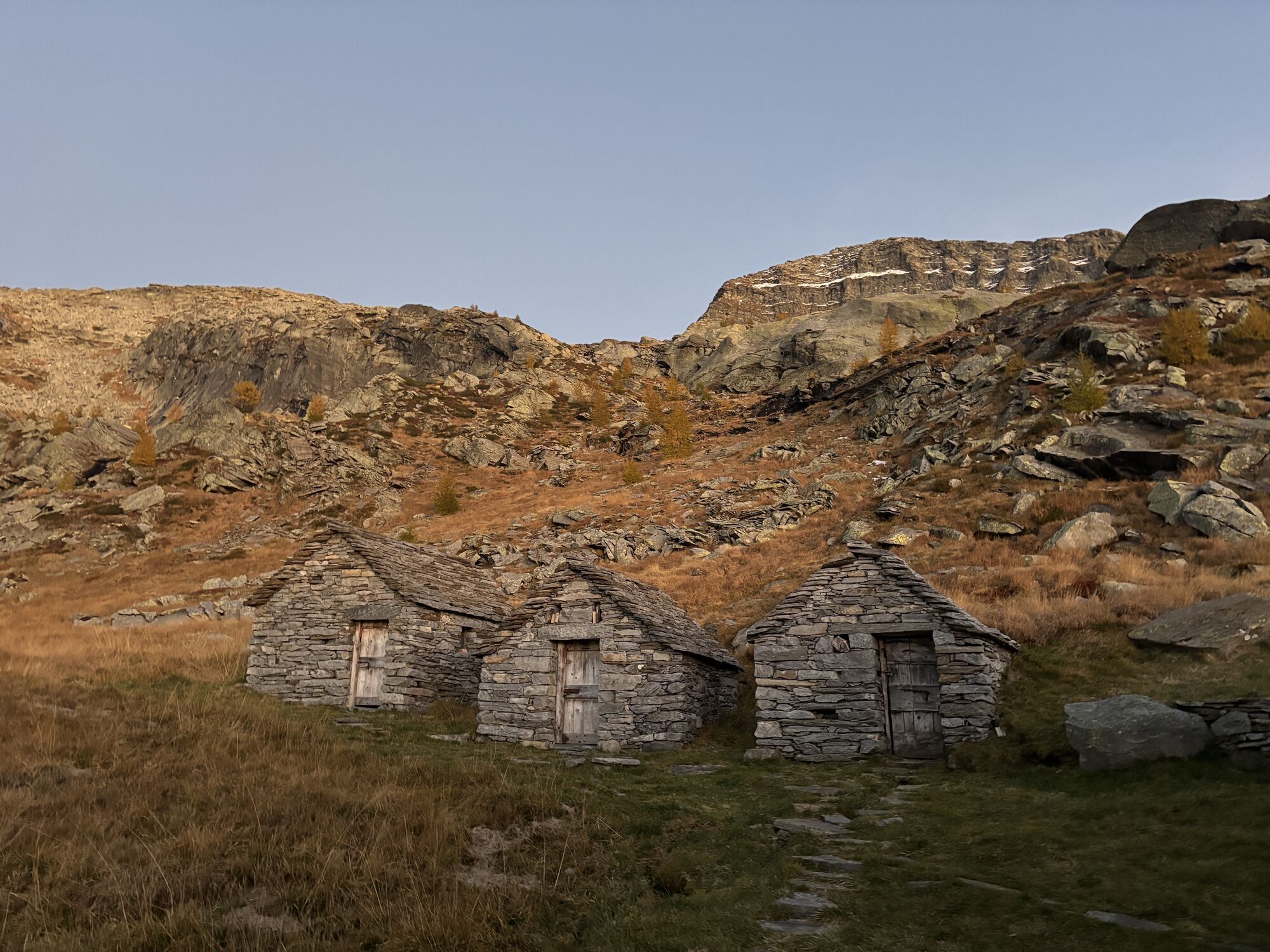
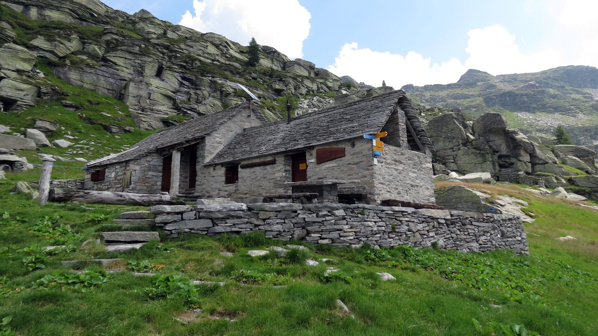
From the Cornavosa hut (1991 m) you follow a comfortable path towards Alp Fumegna (1810 m). At the upper milking facility of the alp, turn east, over steep meadows and rock slabs at the foot of Poncione...
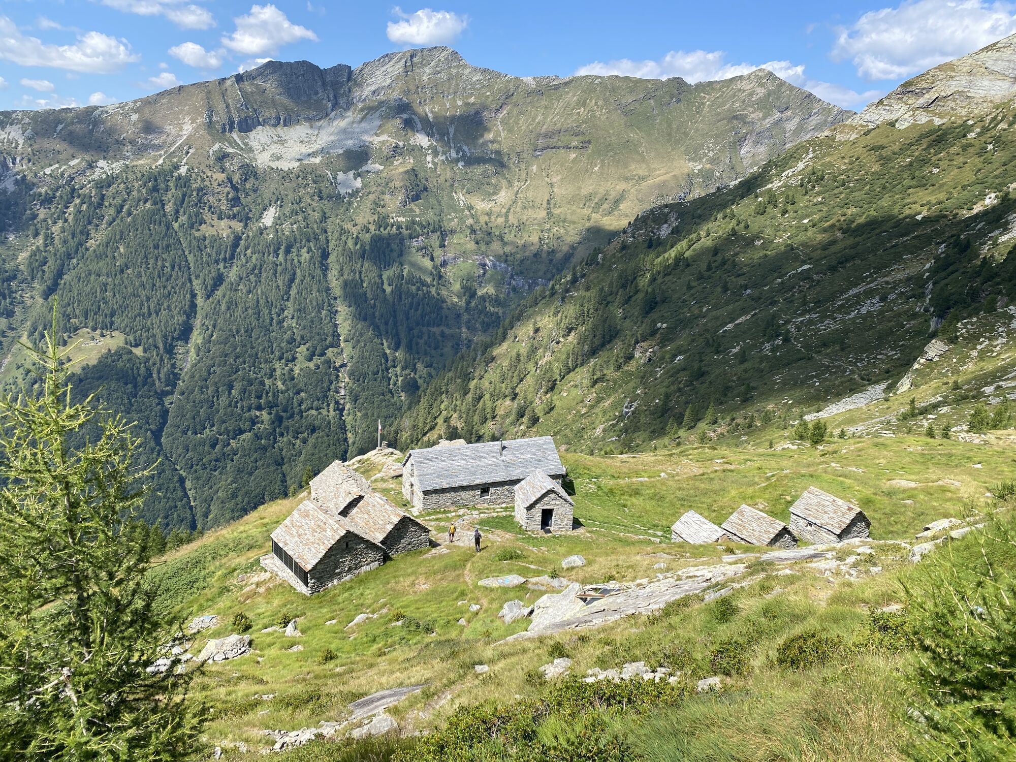
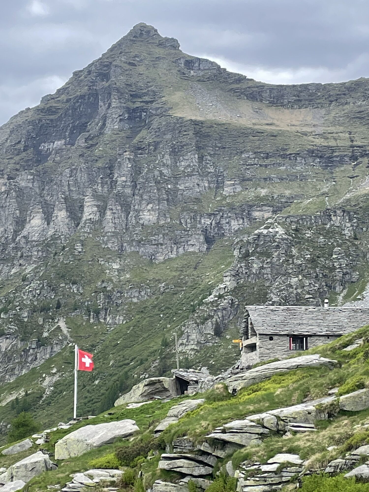
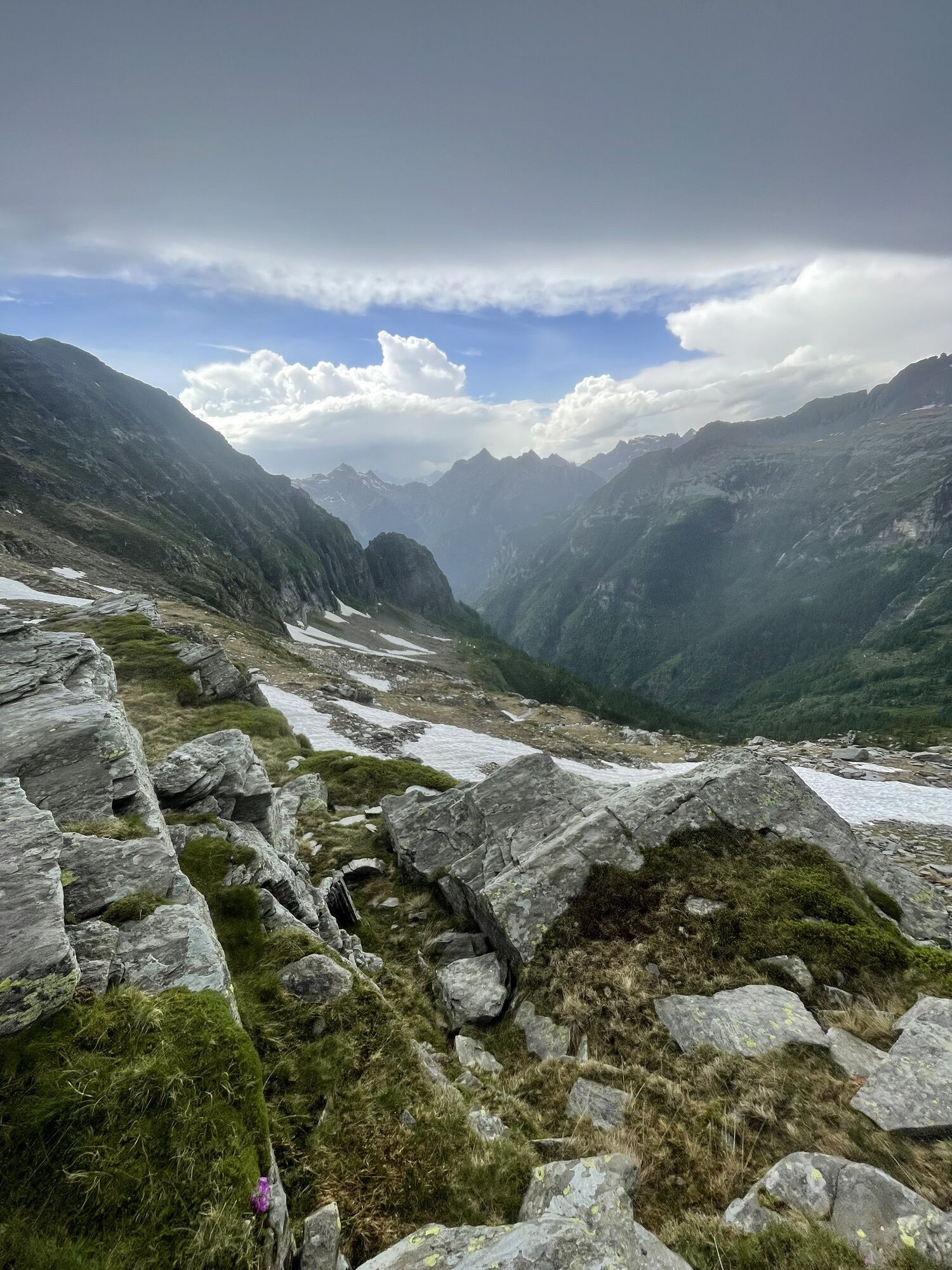
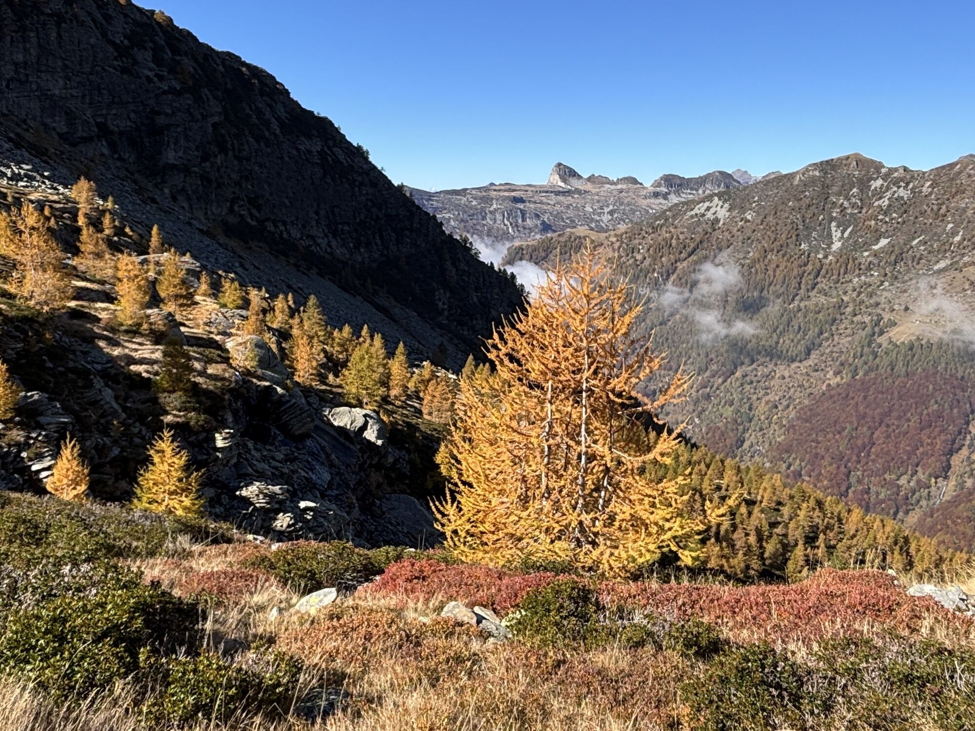
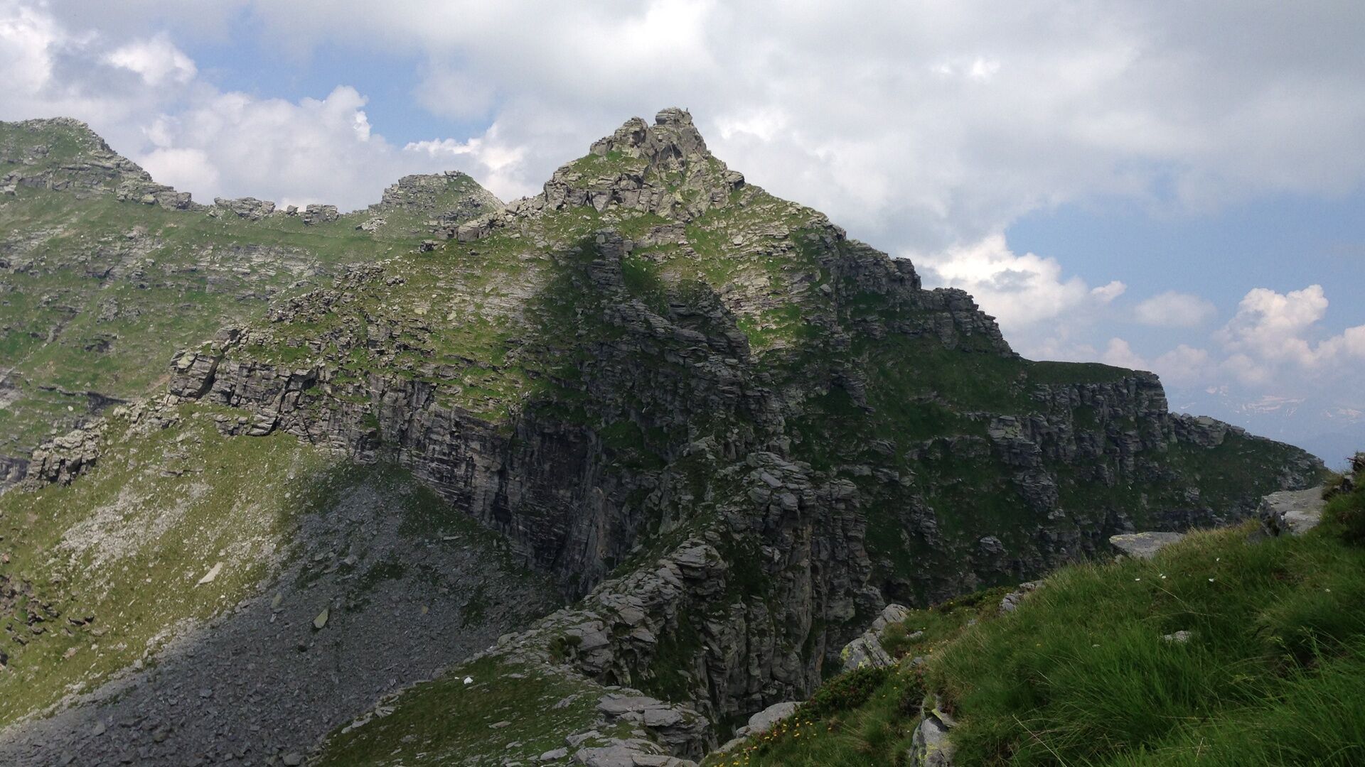
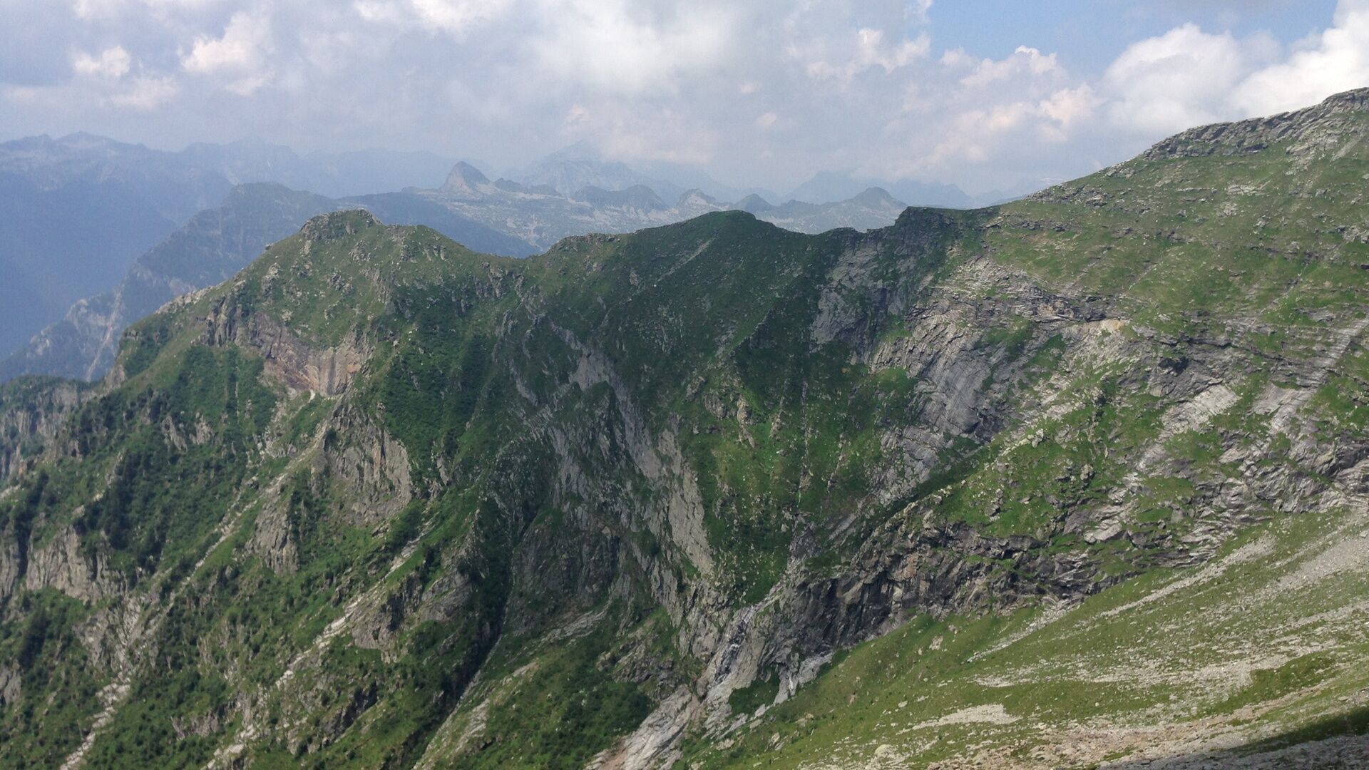
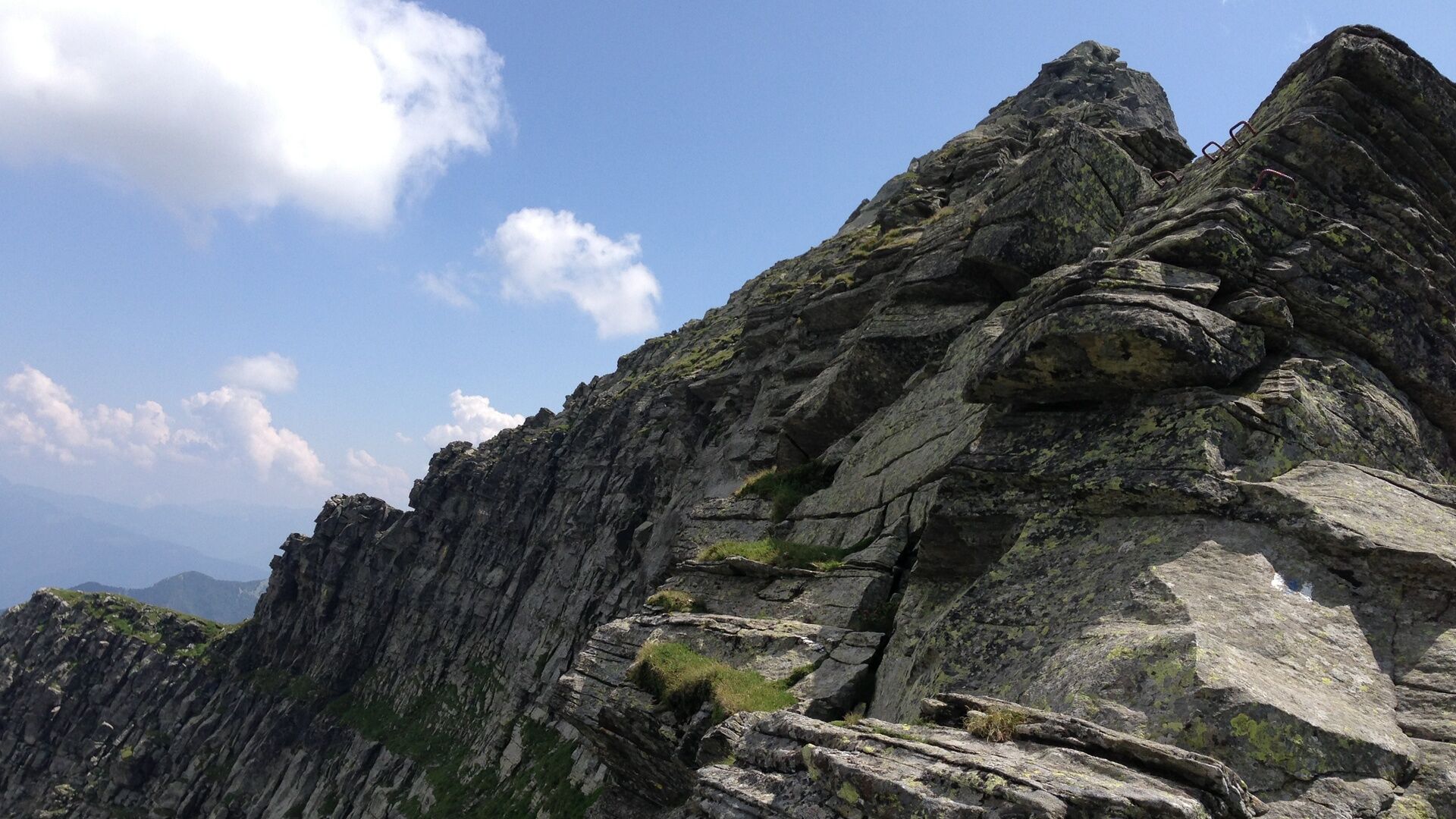
From the Cornavosa hut (1991 m) you follow a comfortable path towards Alp Fumegna (1810 m). At the upper milking facility of the alp, turn east, over steep meadows and rock slabs at the foot of Poncione Rosso you reach the Bassa del Rosso (2233 m), then ascend over the ridge of Cima Lunga (2488 m) up to below Cima di Bri (2521 m), where you cross to Bocchetta di Rierna (2295 m) and continue climbing to the summit of Cima di Rierna (2461 m). After that, the path remains on the ridge and reaches Cima di Gagnone (2518 m). On this last section, you can admire on the left the magnificent high pastures of Alp Cortenuovo and on the right the uncanny rock walls of Gagnone valley. Following the gently descending ridge, you reach Bocchetta dello Scaiee (2434 m), which leads to the red-white marked path that ascends from the valley floor (Gerra). This path descends towards Passo di Gagnone, where above the lake a well-marked junction indicates the direct route to Efra hut (2039 m).

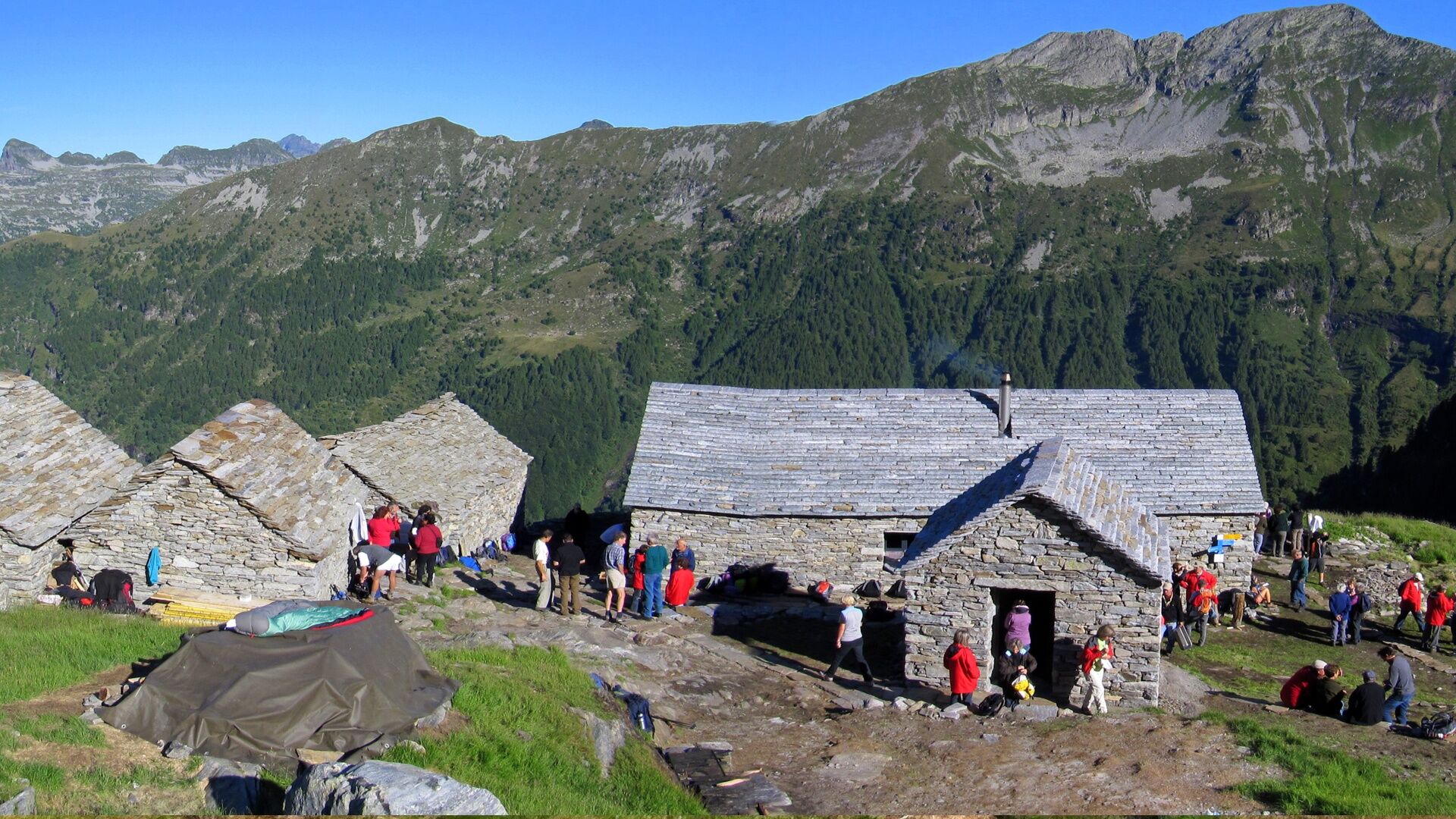
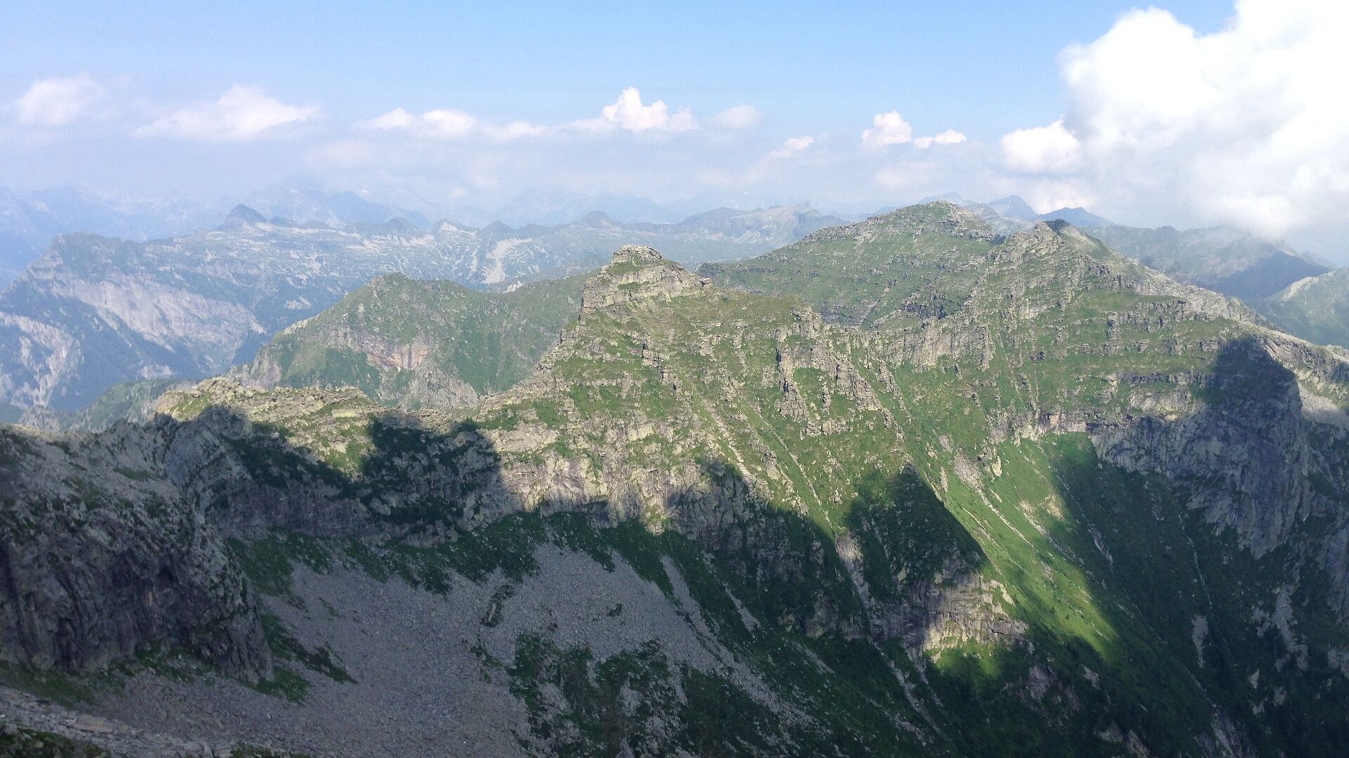
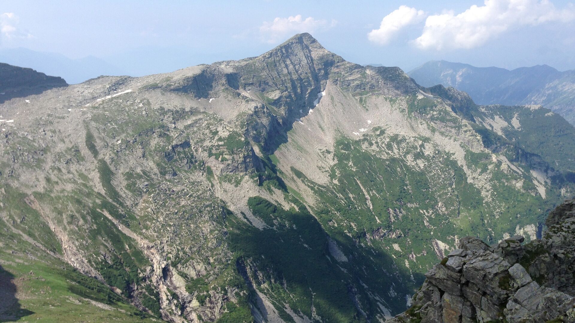
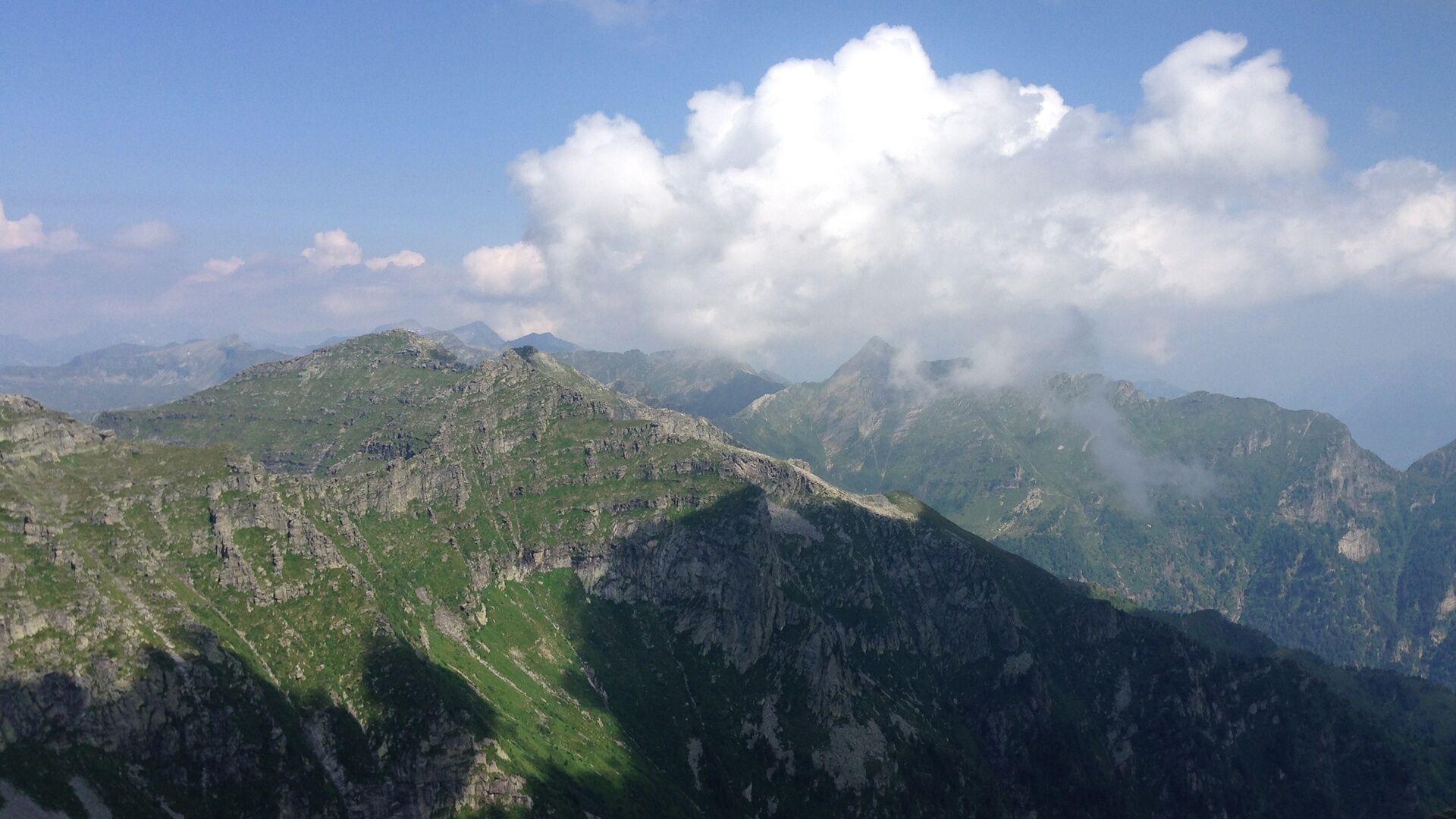
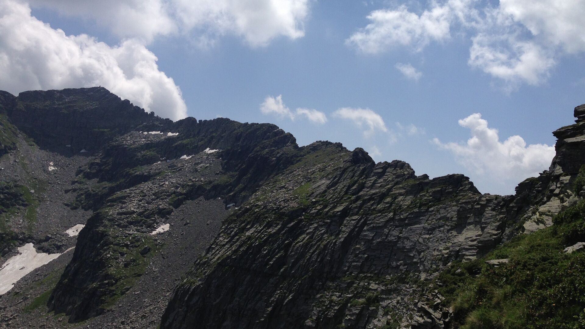
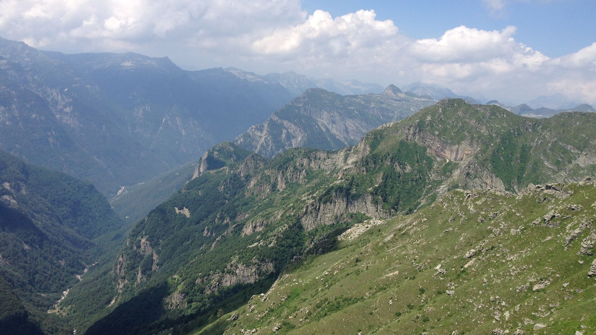

Capanna Cornavosa-Alpe Fumegna-Bassa-Cima Lunga-Bocchetta di Fumegna-Passo di Bri-Bocchetta di Rierna-Cima di Rierna-Cima del Rosso-Passo di Corte Nuovo-Cima di Gagnone-Bocchetta dello Scaiee-Passo di Gagnone-Capanna Efra
Áno
Áno
Equipment
Good alpine equipment is necessary. Solid mountain boots and appropriate clothing. Even in summer, rapid weather changes with snowfall below 2000 m are possible. It is also advisable to bring a 20 m long rope with at least 8 mm diameter, two to three carabiners, a prusik cord, a sling and the necessary provisions.
Not to be underestimated
- Start as early as possible from the huts (especially on the second and fourth stages).
- Pay special attention to weather developments to avoid being on a ridge during thunderstorms or fog.
- Do not underestimate difficulties (time loss) that can arise in a large group.
- In case of doubt, it is better to refrain or turn back.
- During and after strong thunderstorms, streams on the hut approach routes may be impassable due to flooding (usually conditions normalize after a few hours).
WARNING!
Difficulty level
The SEV (Società Escursionistica Verzaschese) points out that this is an alpine route, not a hiking trail. Good preparation, alpine experience, sure-footedness and a head for heights are necessary to safely master the difficult passages. According to the new hiking trail classification by the SAC (Swiss Alpine Club), the Via Alta is mostly classified as T4 to T6.
T6 – Ridge passages partially very exposed, use of hands for movement (max. grade II)
T5 – Hike for experienced hikers with exposed sections.
T4 – Demanding hike.
The Organizzazione Turistica Lago Maggiore e Valli rejects any liability and relies on the judgment of each individual.
T5

Obľúbené výlety v okolí
-
4,7
Verzasca Dam-Mergoscia-Corippo-Lavertezzo
strednáTuristika 13,0 km -
4,8
Valle del Salto round route (SvizzeraMobile 611)
strednáTuristika 8,84 km -
5,0
Lavertezzo-Brione Verzasca
svetloTuristika 6,50 km -
3,3
Entlang der Verzasca von Sonogno via Brione nach Lavertezzo
svetloTuristika 14,5 km -
4,5
Revöira Ethnographic Trail (SwitzerlandMobility 629)
strednáTuristika 7,97 km -
4,0
Cardada Bike (SwitzerlandMobility 397)
ťažkéMountainbike 30,6 km -
Cardada-Cimetta-Alpe Vegnasca-Cardada
strednáTuristika 6,86 km -
5,0
Verzasca Dam-Monti di Motti-Verzasca Dam
strednáTuristika 9,31 km -
Via Alta Vallemaggia - 1st stage: Cimetta-Capanna Alpe Nimi
ťažkéTuristika 10,2 km -
4,5
Klettersteig dei tre signori, Monte Carasso
ťažkéVia ferrata 4,85 km

Turistika a stopovanie


Nenechajte si ujsť ponuky a inšpiráciu na ďalšiu dovolenku
Vaša e-mailová adresa bol pridaný do poštového zoznamu.





