







Cimalmotto-Lake Sfii-Cimalmotto
Úroveň náročnosti: T2
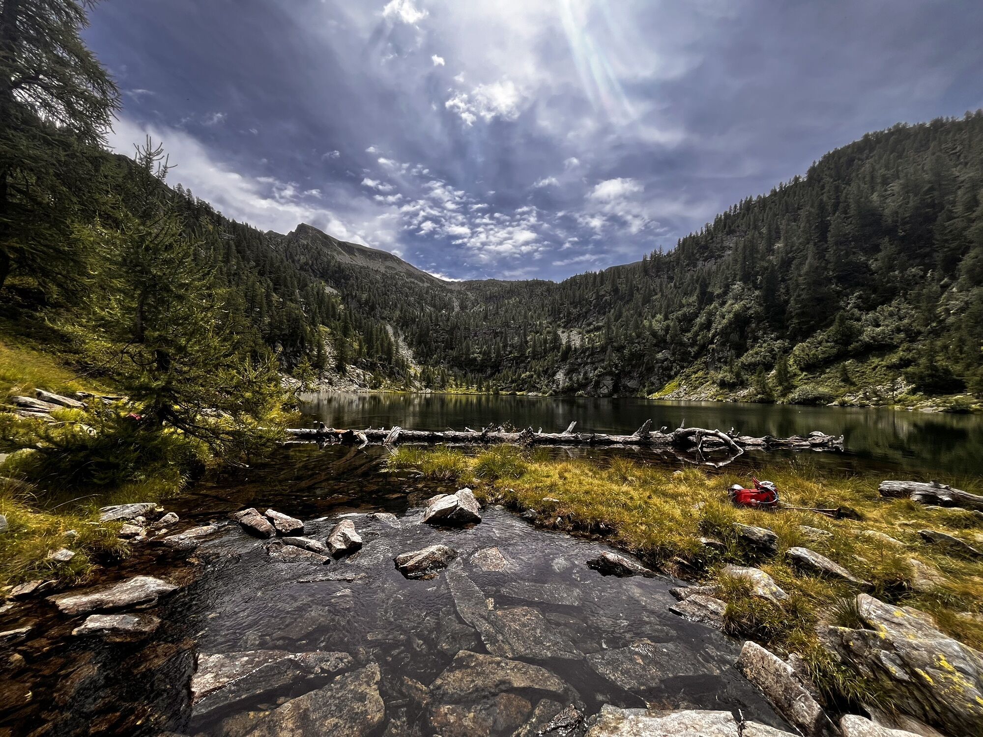
The white-red trail starts from Cimalmotto, one of the highest villages in Ticino (1405 m above sea level), and climbs upwards into the heart of the alpine landscape of the Val Rovana. The linear hike...
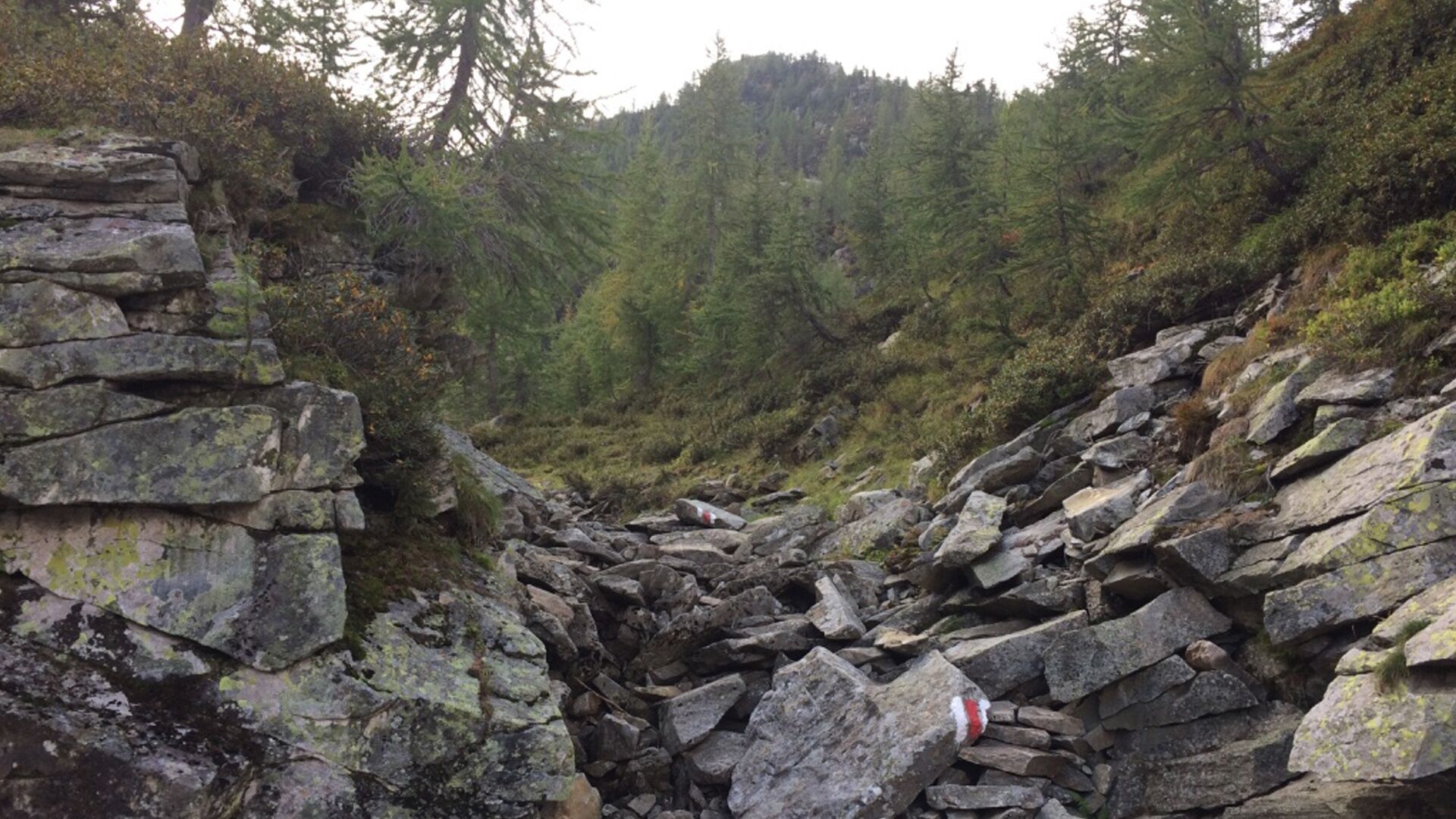
The white-red trail starts from Cimalmotto, one of the highest villages in Ticino (1405 m above sea level), and climbs upwards into the heart of the alpine landscape of the Val Rovana. The linear hike is varied and offers a wide panorama of the surrounding mountains.
After the initial section on an asphalt road, it slightly descends along a path through the forest towards Pianelli and the Fiümigna bridge. After crossing the bridge, the trail continues to the Alpe di Sfii, in operation during the summer period. In the background shines the larch forest with its golden crowns.
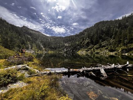
After a short descent, a somewhat more demanding ascent follows up to Lake Sfii, nestled in a basin surrounded by lush meadows and high mountains. Depending on the light, the lake shows various shades of blue, reflecting the surrounding landscape in its crystal-clear waters. Along the same path you return to Cimalmotto, from where the bus departs back to Cevio (check the timetable beforehand).

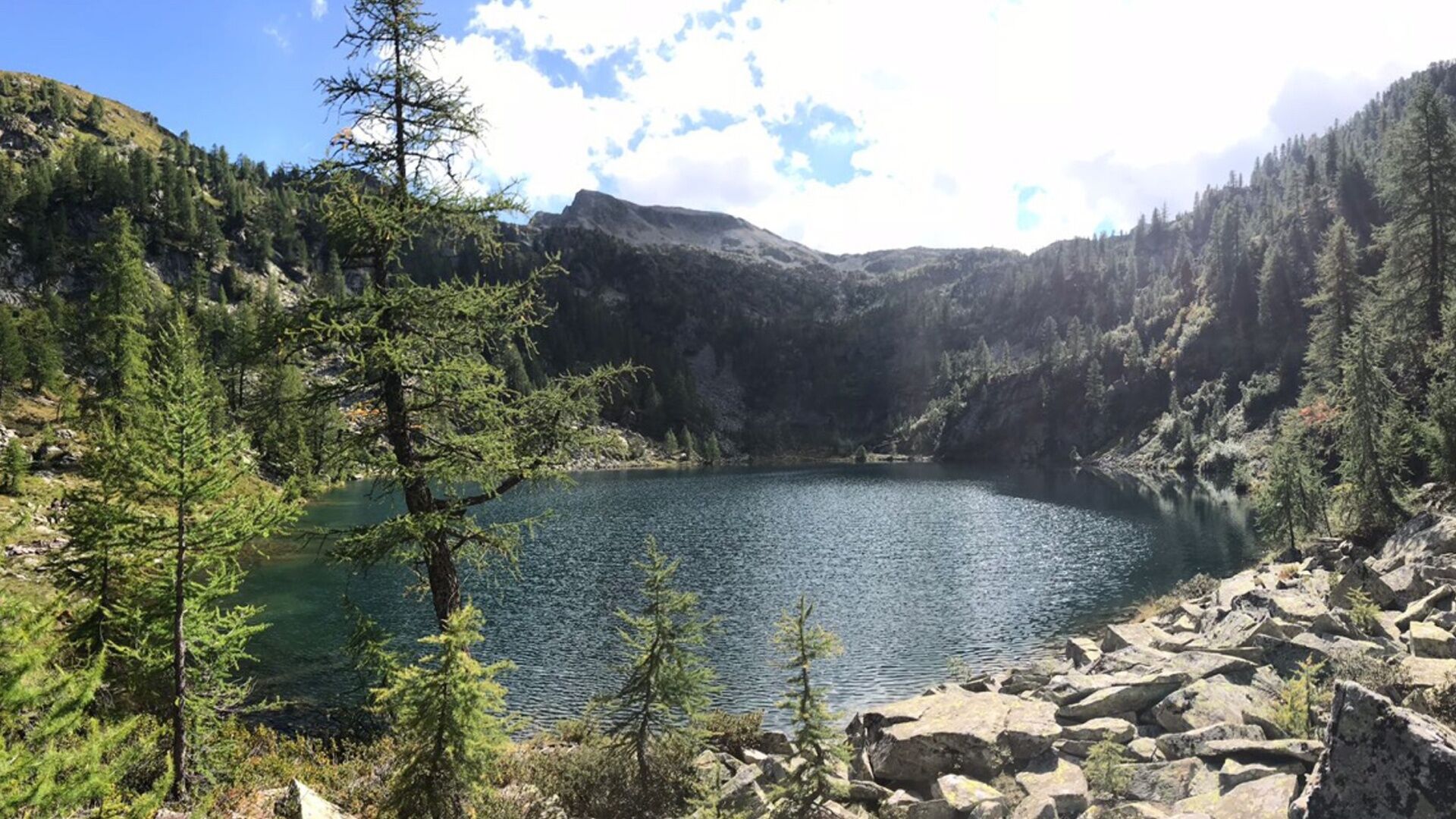
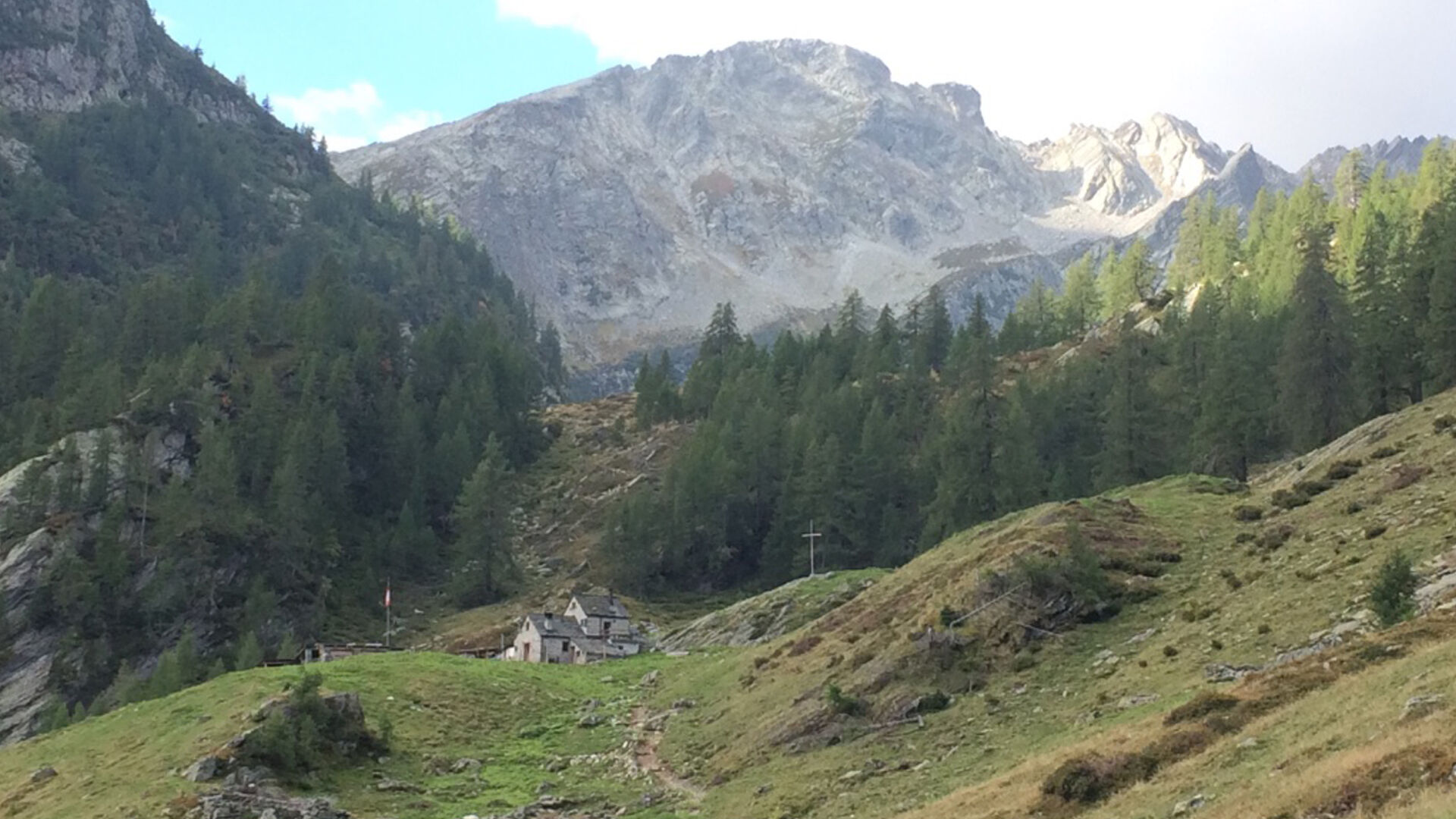
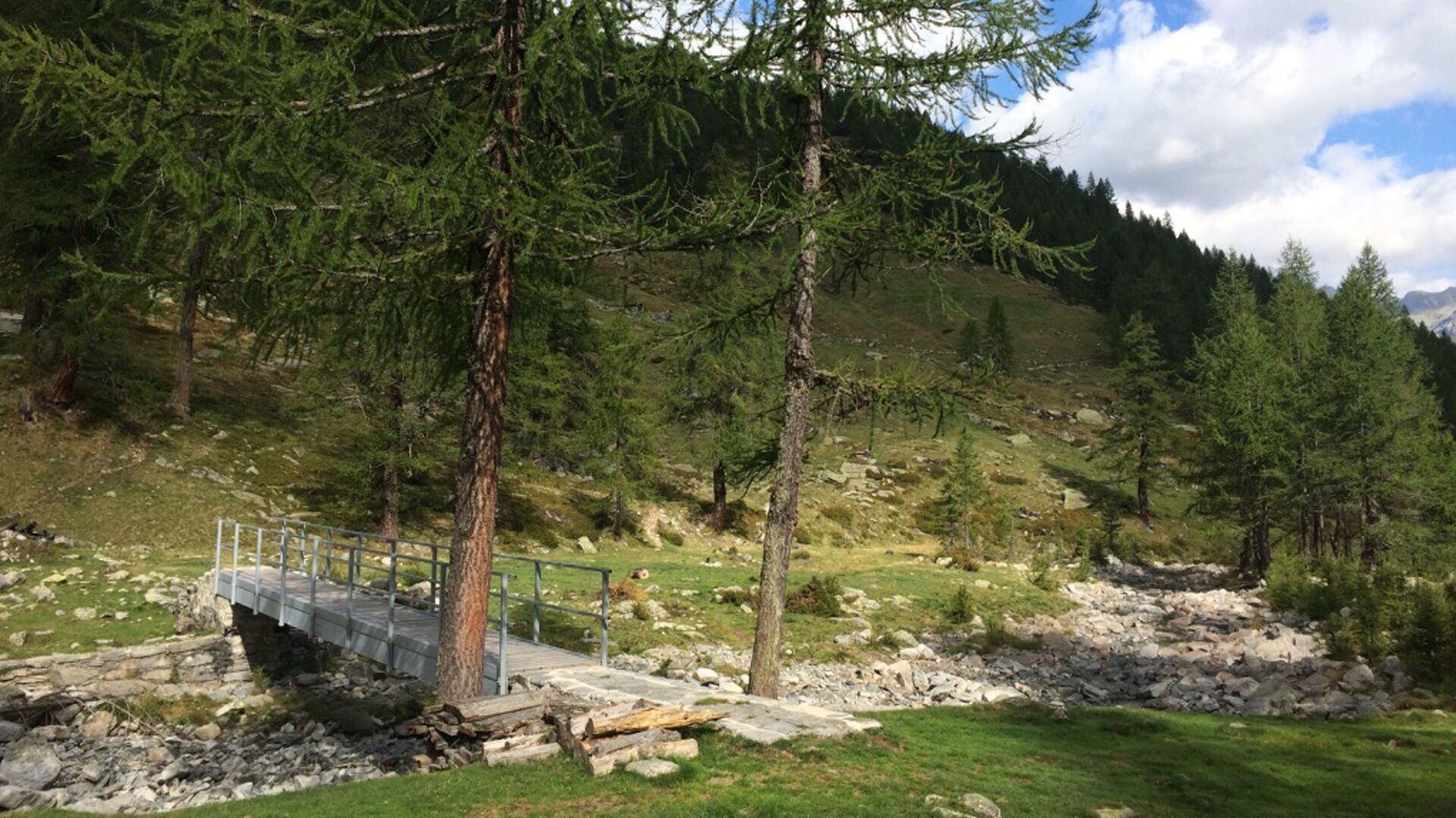

Cimalmotto-Alpe di Sfii-Lake Sfii-Alpe di Sfii-Cimalmotto
Áno
Áno
Hiking backpack (approx. 20 liters) with rain cover
Sturdy and comfortable shoes
Clothing suitable for weather conditions and durable, layering principle, and possibly trekking poles
Protection from sun and rain
Supplies and drinking water
First aid kit
Pocket knife
Mobile phone, possibly headlamp
Map material
Sentieri Svizzeri - Safe hiking
Outbound from Locarno, Station: take bus NFB 315, direction Cavergno, Village. Get off at the stop Cevio, Centro. 2 min walk to the stop Cevio, Posta and take bus 331 towards Bosco Gurin, Village. Get off at Cerentino and take bus 332 to Cimalmotto.
Return from Cimalmotto: take bus 332 to Cerentino then bus 331 to Cevio, Posta. 2 min walk to the stop Cevio, Centro. Take bus NFB 315 direction Locarno, Station. For more information: www.sbb.ch
T2
 Získajte prehľad
Vždy naživo na mieste s viac ako 9 500 webovými kamerami. bergfex Ako používateľ Pro si teraz môžete pozrieť príslušné webové kamery pre mnohé zájazdy v aplikácii zájazdy z. Môžete si tak priamo prezerať aktuálne podmienky.
Získajte prehľad
Vždy naživo na mieste s viac ako 9 500 webovými kamerami. bergfex Ako používateľ Pro si teraz môžete pozrieť príslušné webové kamery pre mnohé zájazdy v aplikácii zájazdy z. Môžete si tak priamo prezerať aktuálne podmienky.


Obľúbené výlety v okolí
-
Maggia-Someo-Maggia
svetloTuristika 15,5 km -
4,0
Foroglio-Calnègia-Foroglio
strednáTuristika 8,37 km -
5,0
Spruga-Alpe Saléi-Comologno
strednáTuristika 8,96 km -
5,0
Bignasco-San Carlo
strednáTuristika 12,8 km -
5,0
Bosco Gurin-Lago Melo-Lago Pero-Bosco Gurin
strednáTuristika 10,6 km -
5,0
TESSIN | Foroglio
strednáTuristika 3,86 km -
4,0
Lodano-Soláda-Castèll-Lodano
strednáTuristika 8,11 km -
5,0
Cimalmotto-Alpe Magnello-Cimalmotto
strednáTuristika 8,82 km -
Places of Power in Bavona Valley
strednáTematická trasa 4,44 km -
Stage 2: Loco-Maggia
strednádiaľková pešia trasa 10,2 km
Turistika a stopovanie


Nenechajte si ujsť ponuky a inšpiráciu na ďalšiu dovolenku
Vaša e-mailová adresa bol pridaný do poštového zoznamu.





