







Cimalmotto-Alpe Magnello-Cimalmotto

Úroveň náročnosti: T2
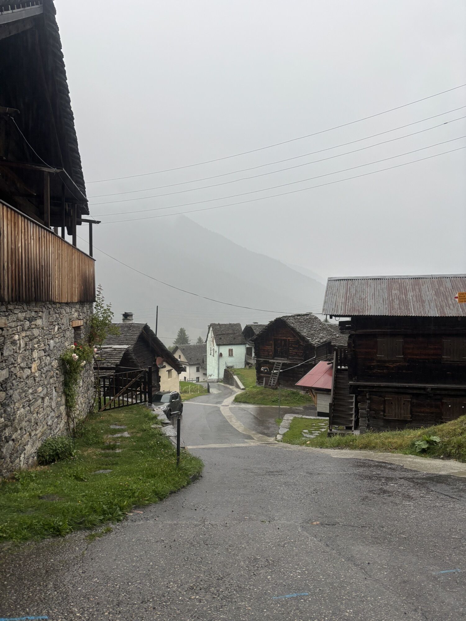
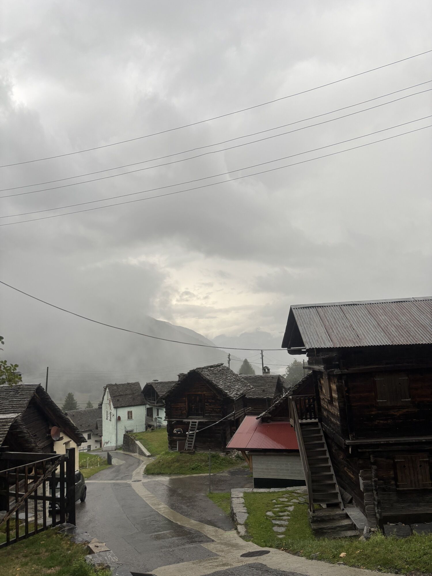
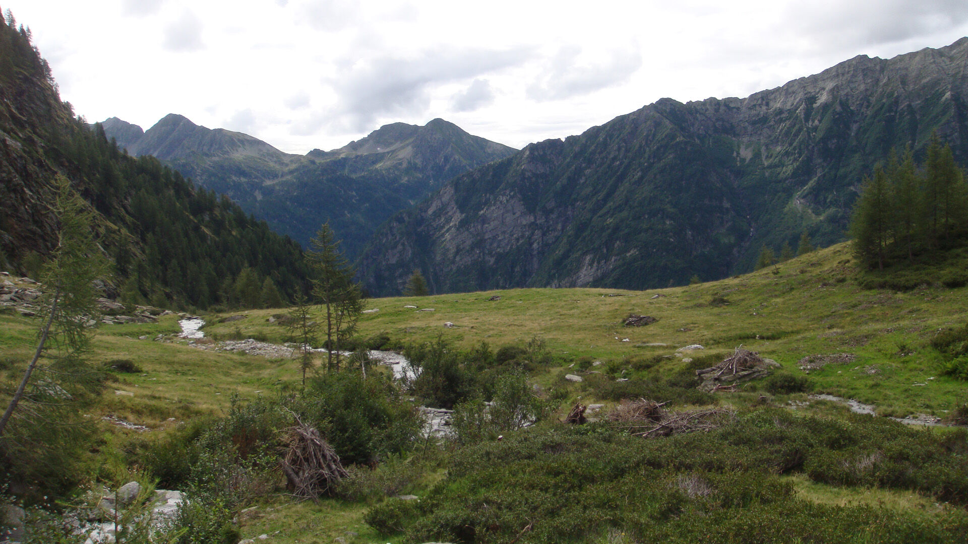
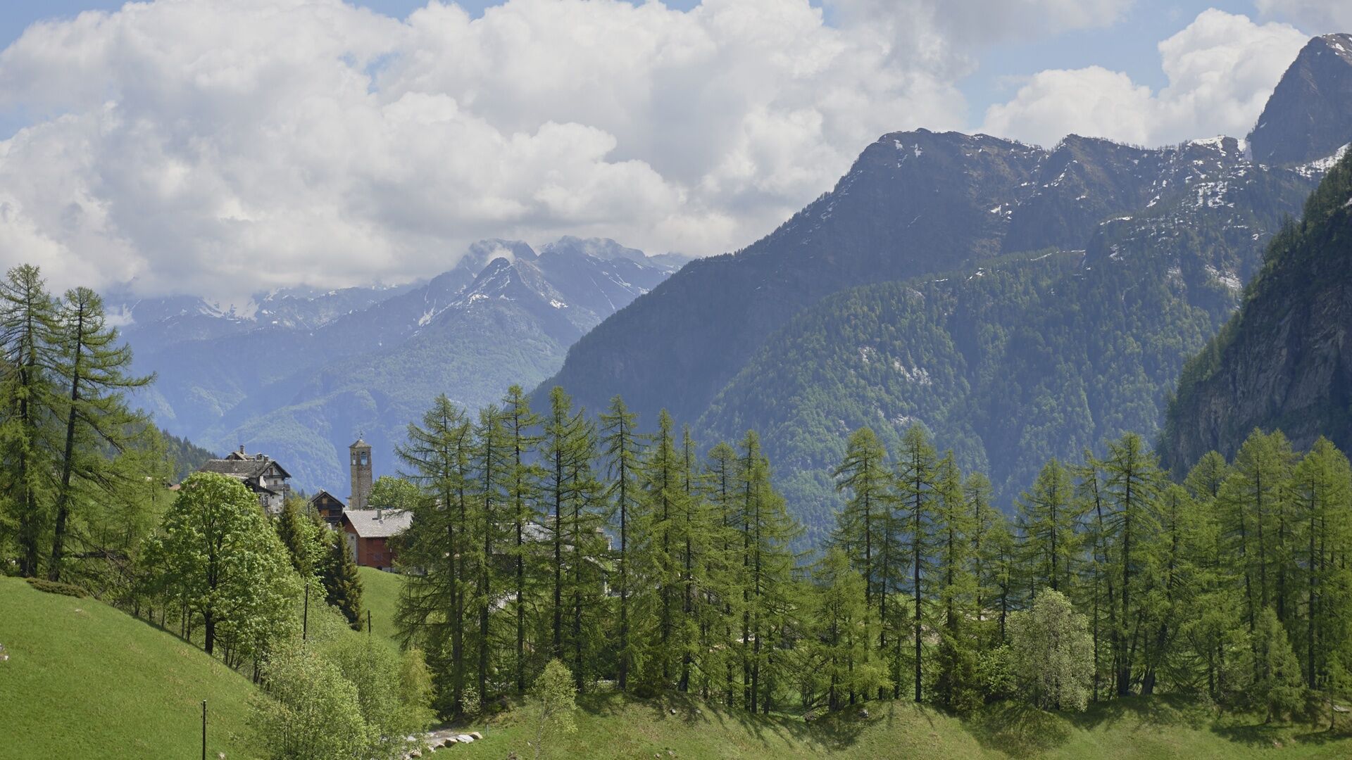
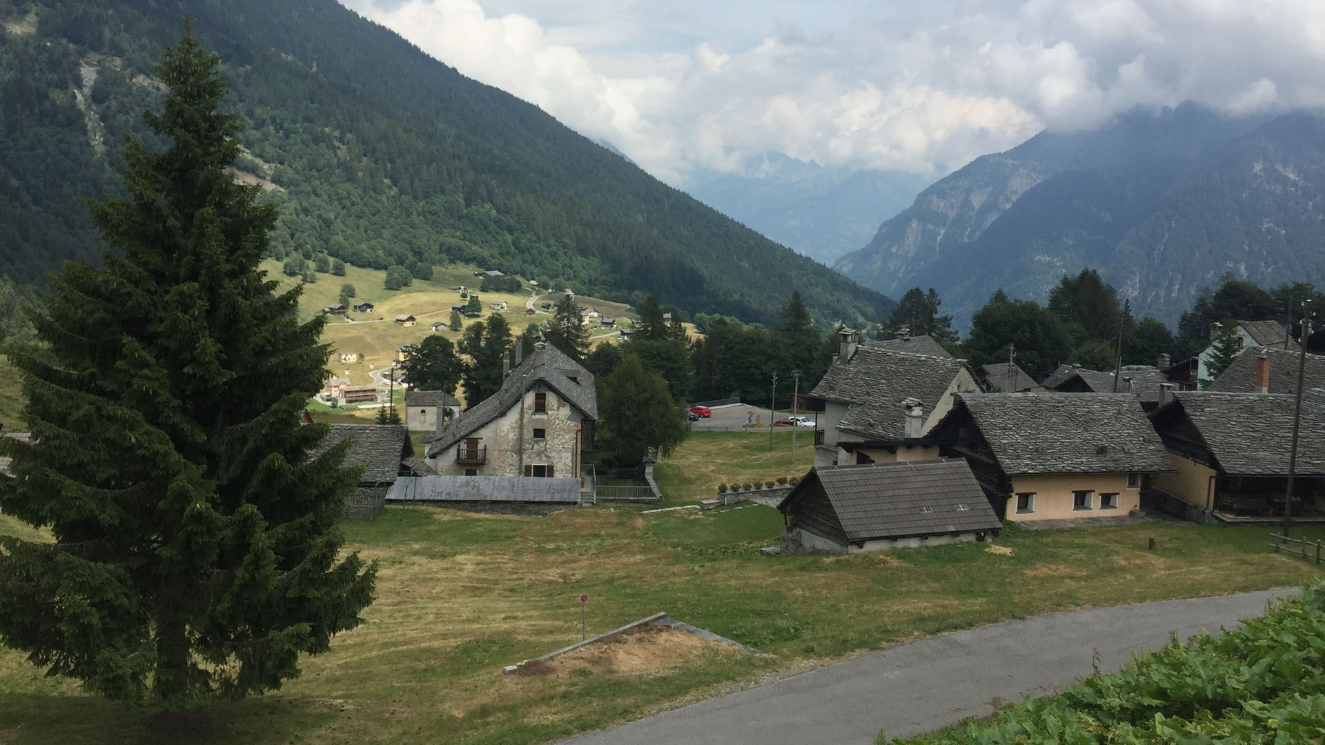
From the characteristic village of Cimalmotto, it takes just a few minutes’ walk along a paved road to reach the starting point of the route. After a short initial climb, the trail soon descends to Piano...
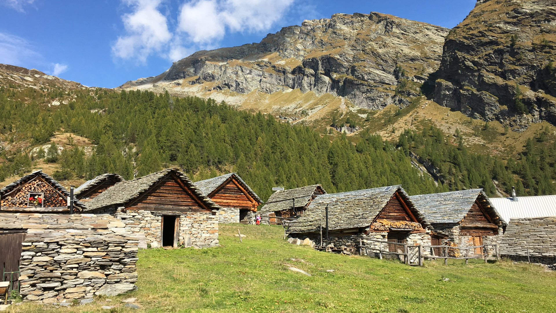
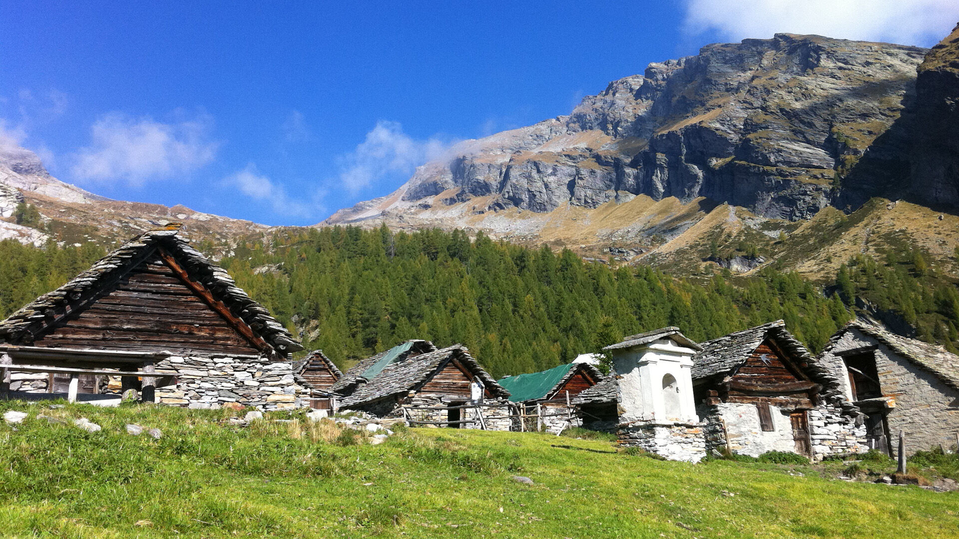
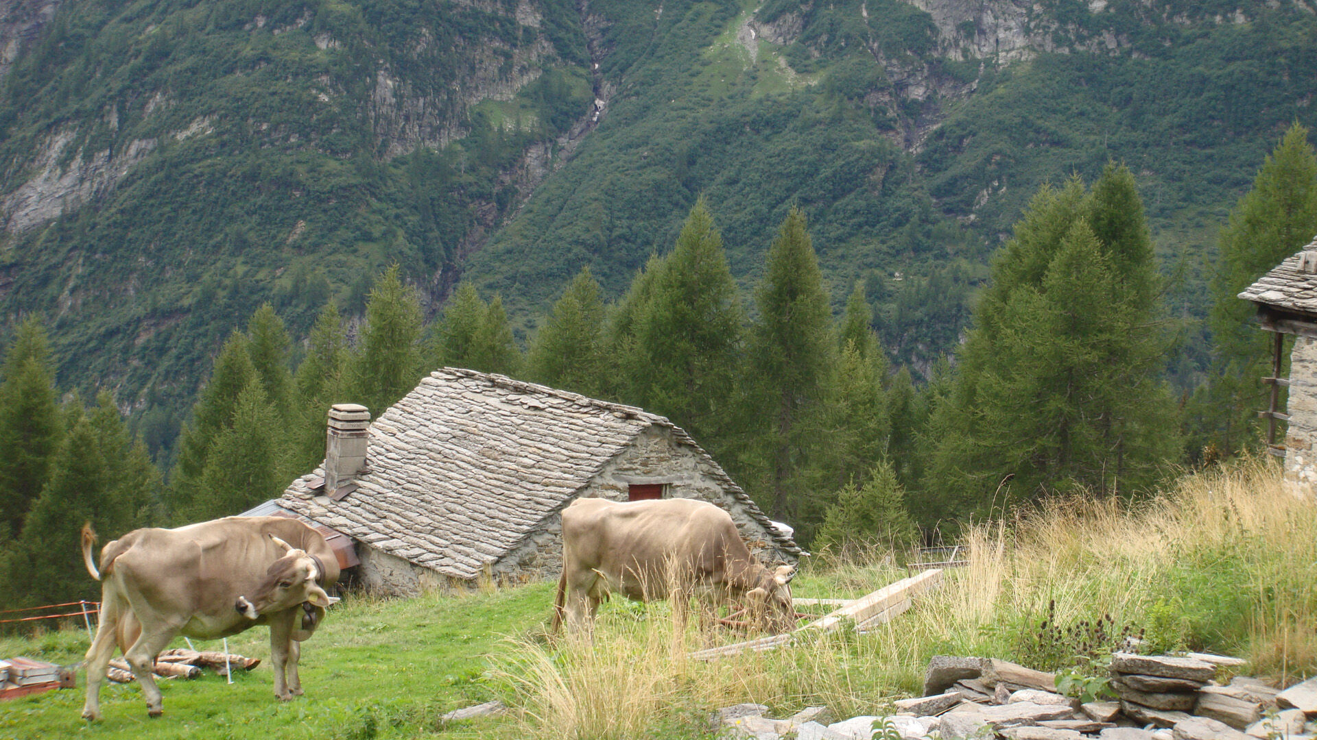
The beautiful natural surroundings soon take your mind off the effort, and before you know it, you have reached the alpine pasture. Situated at 1,808 metres above sea level on the Italian border, Alpe Magnello is a true meeting point of tradition and culture. During the summer months, fresh local products can be purchased directly from the farm.
On the way back, the route crosses the Ri di Magnello before descending to Fontanella and returning to the starting point in Cimalmotto. Check the bus timetables to and from Cimalmotto in advance.

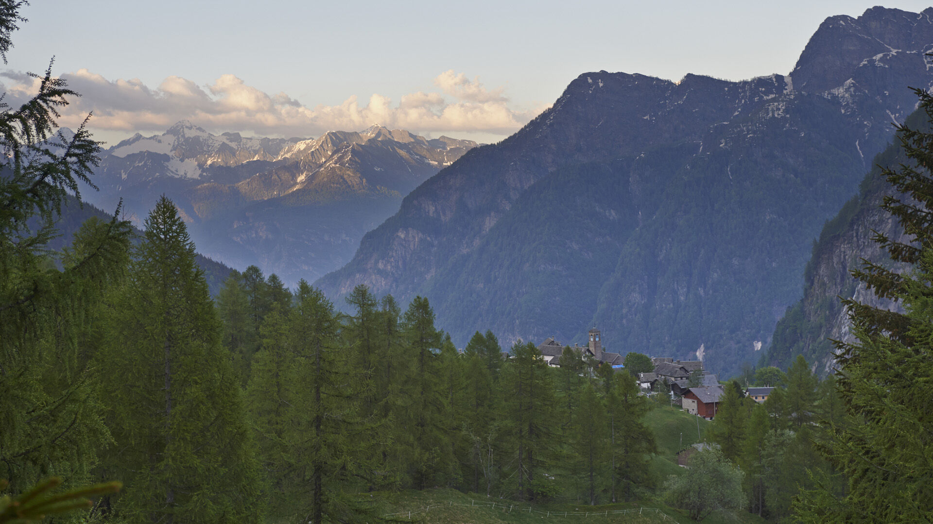
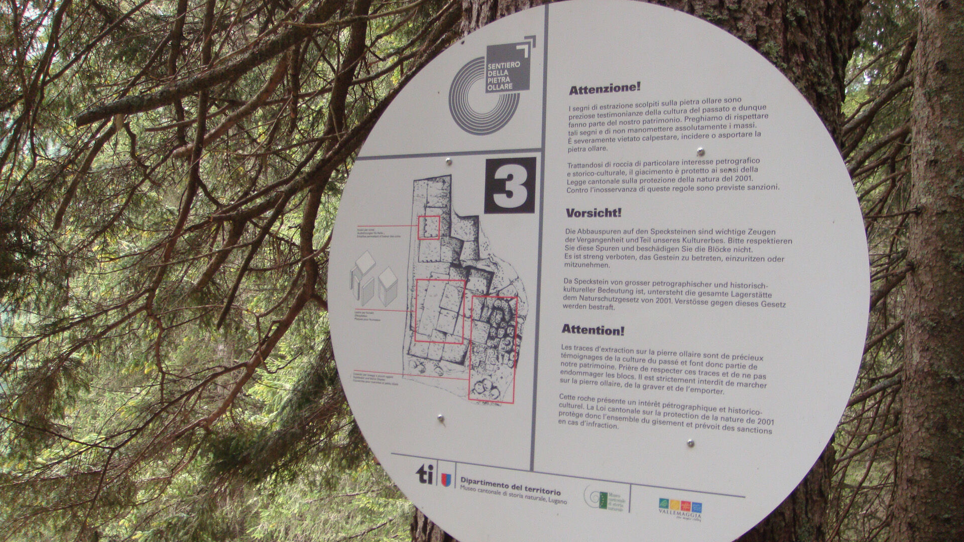

Cimalmotto-Sponda-Cané-Piano della Stufa-Alpe di Magnello-Fontanella-Cimalmotto
Áno
Áno
Hiking backpack (approx. 20 liters) with rain cover
Sturdy and comfortable shoes
Clothing suitable for weather conditions and durable, layer dressing principle, and possibly trekking poles
Sun and rain protection
Provisions and drinking water
First aid kit
Pocket knife
Mobile phone, possibly headlamp
Map material
Outbound from Locarno, Station: take bus NFB 315 towards Cavergno, Paese. Get off at the Cevio, Centro stop. 2 min walk to the Cevio, Posta stop and take bus 331 towards Bosco Gurin, Paese. Get off at Cerentino and take bus 332 to Cimalmotto.
Return from Cimalmotto: take bus 332 to Cerentino then bus 331 to Cevio, Posta. 2 min walk to the Cevio, Centro stop. Take bus 315 towards Locarno, Station. For more information: www.sbb.ch
T2


Obľúbené výlety v okolí
-
4,7
Foroglio-Calnègia-Foroglio
strednáTuristika 8,37 km -
4,0
Maggia-Someo-Maggia
svetloTuristika 15,5 km -
5,0
Spruga-Alpe Saléi-Comologno
strednáTuristika 8,96 km -
5,0
Bignasco-San Carlo
strednáTuristika 12,8 km -
5,0
Cimalmotto-Lake Sfii-Cimalmotto
strednáTuristika 12,6 km -
5,0
Bosco Gurin-Lago Melo-Lago Pero-Bosco Gurin
strednáTuristika 10,6 km -
5,0
TESSIN | Foroglio
strednáTuristika 3,86 km -
5,0
Val Bavona: Foroglio-San Carlo
svetloTematická trasa 5,39 km -
Places of Power in Bavona Valley
strednáTematická trasa 4,44 km -
Blinnenhorn route
ťažkéTuristika 106,6 km
Turistika a stopovanie


Nenechajte si ujsť ponuky a inšpiráciu na ďalšiu dovolenku
Vaša e-mailová adresa bol pridaný do poštového zoznamu.





