







Cimalmotto-Cavegna-Salei

Úroveň náročnosti: T2
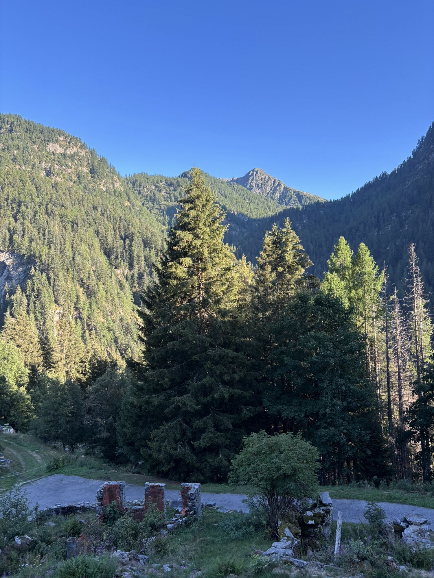
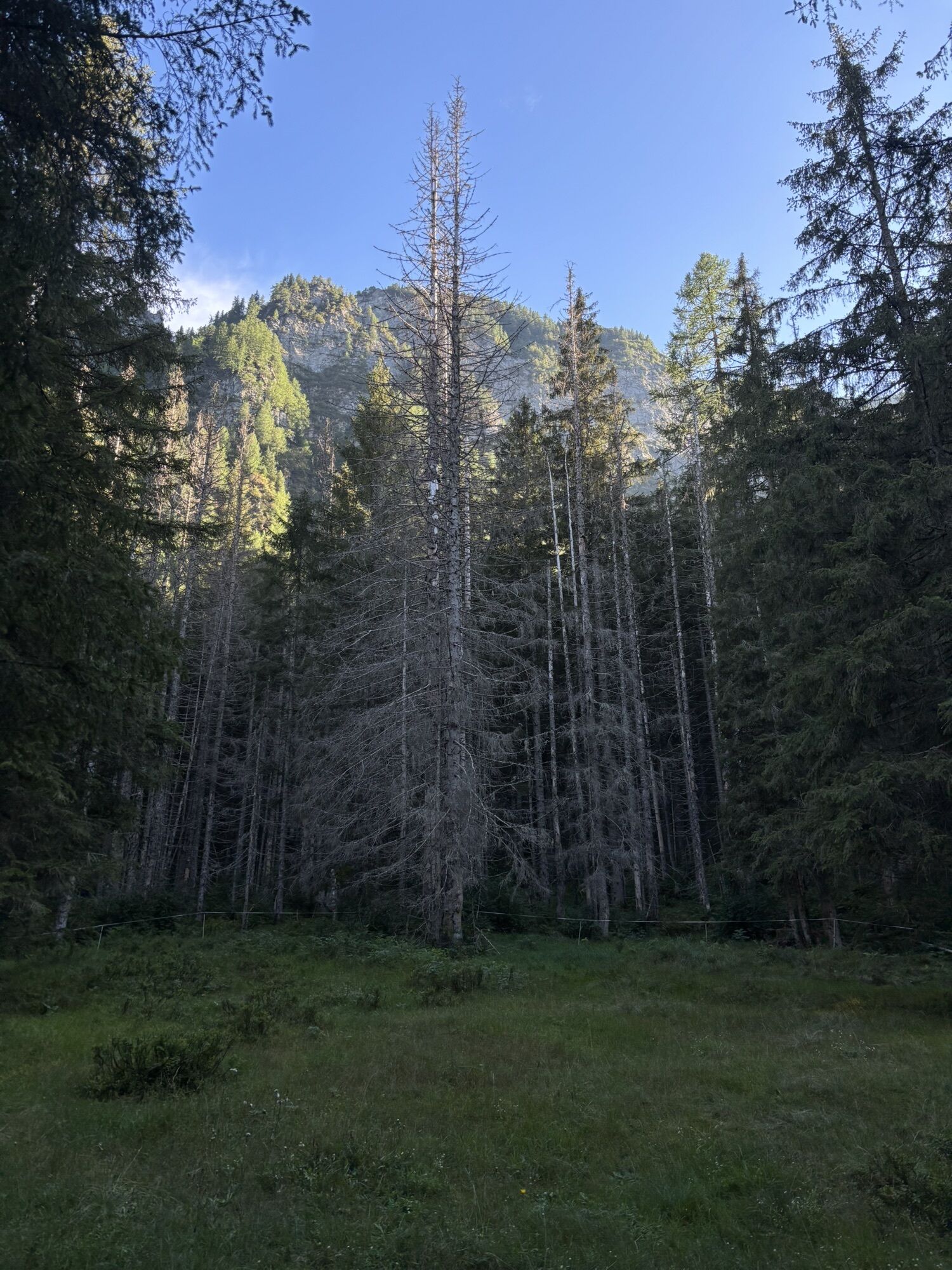
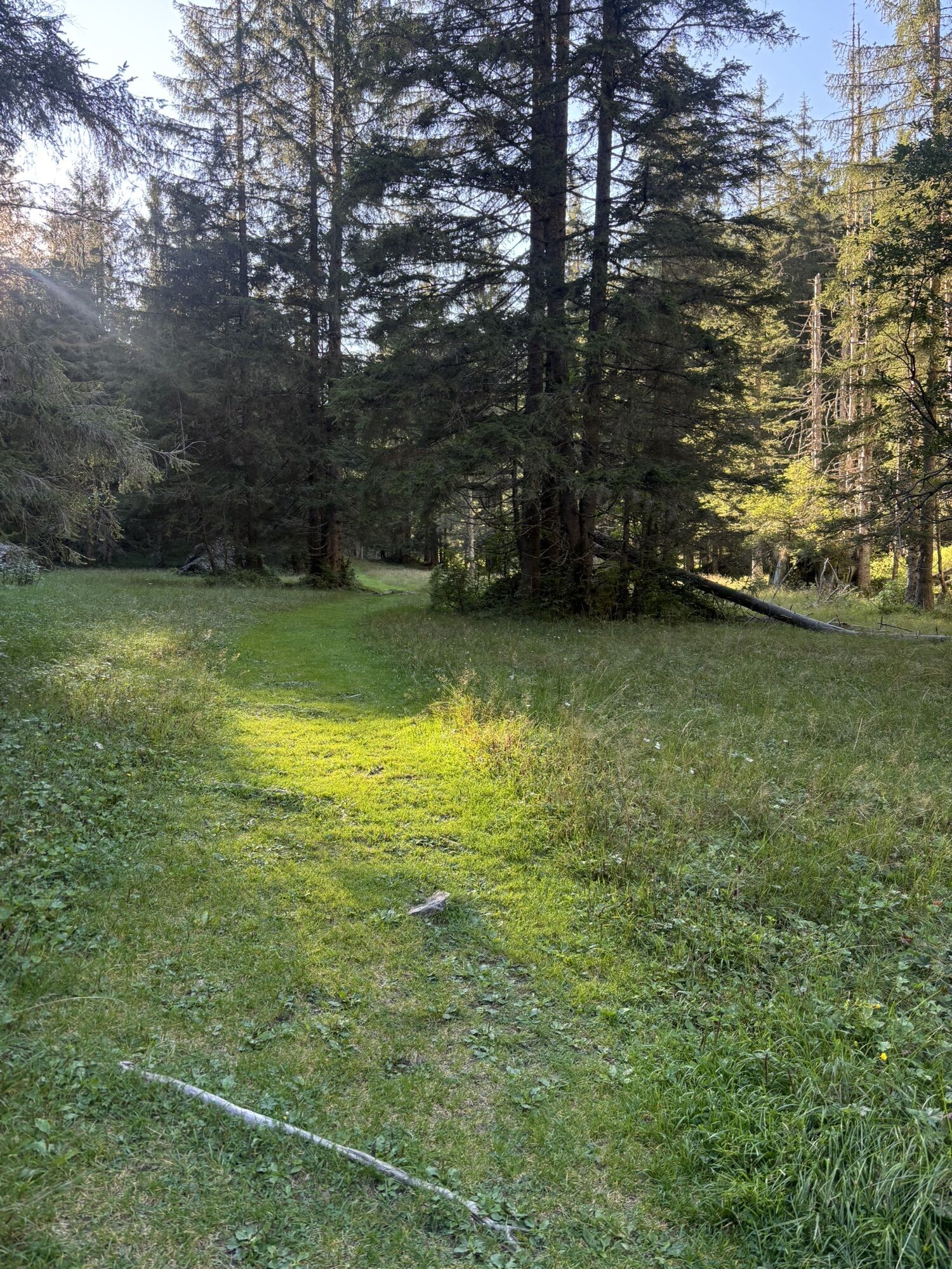
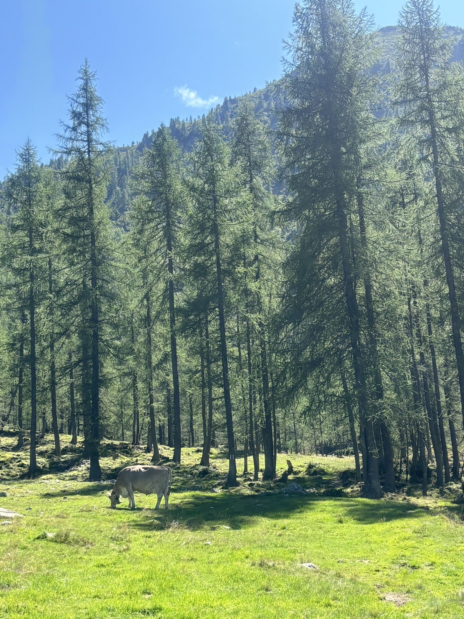
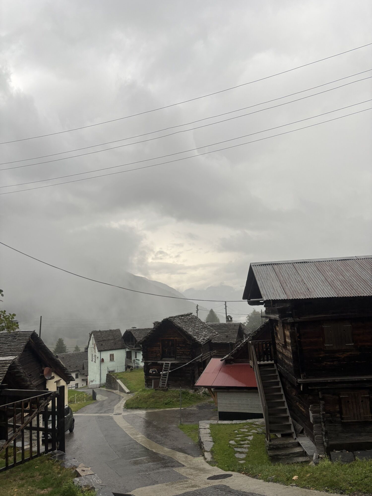
At 1,978 metres above sea level, the Cavegna Pass is not merely a hiking destination, but an ancient alpine crossing that has long connected communities and territories. It was already known and described...
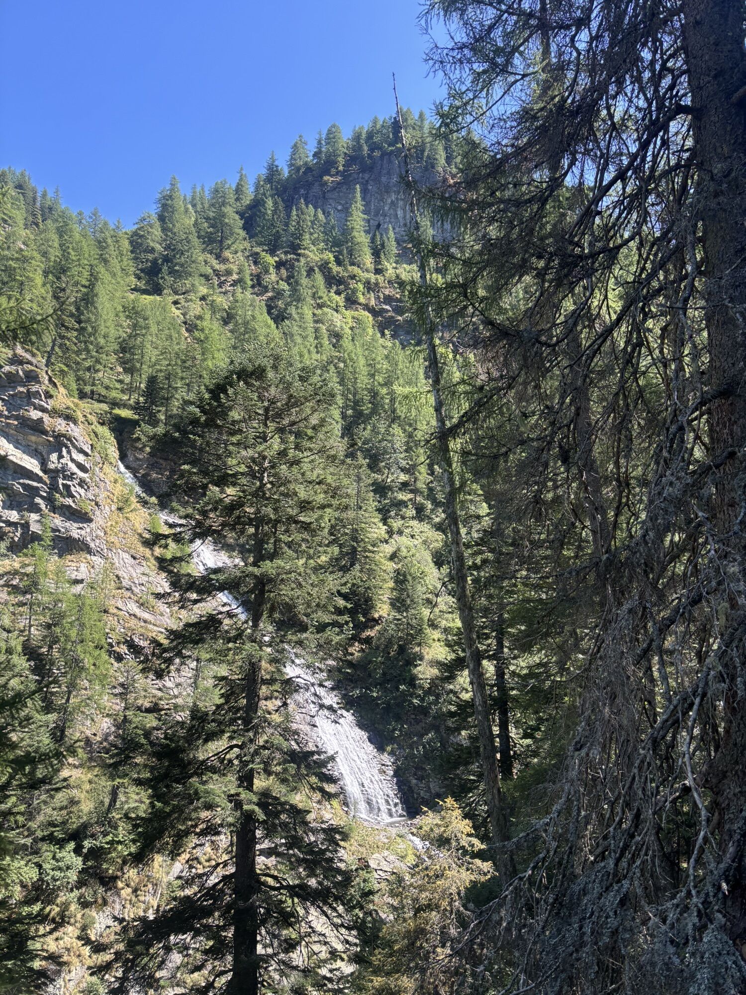
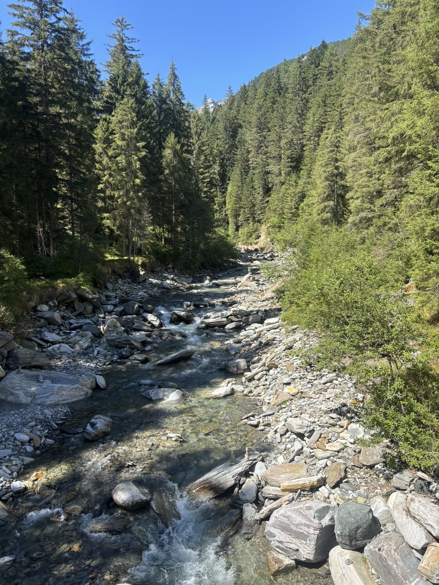
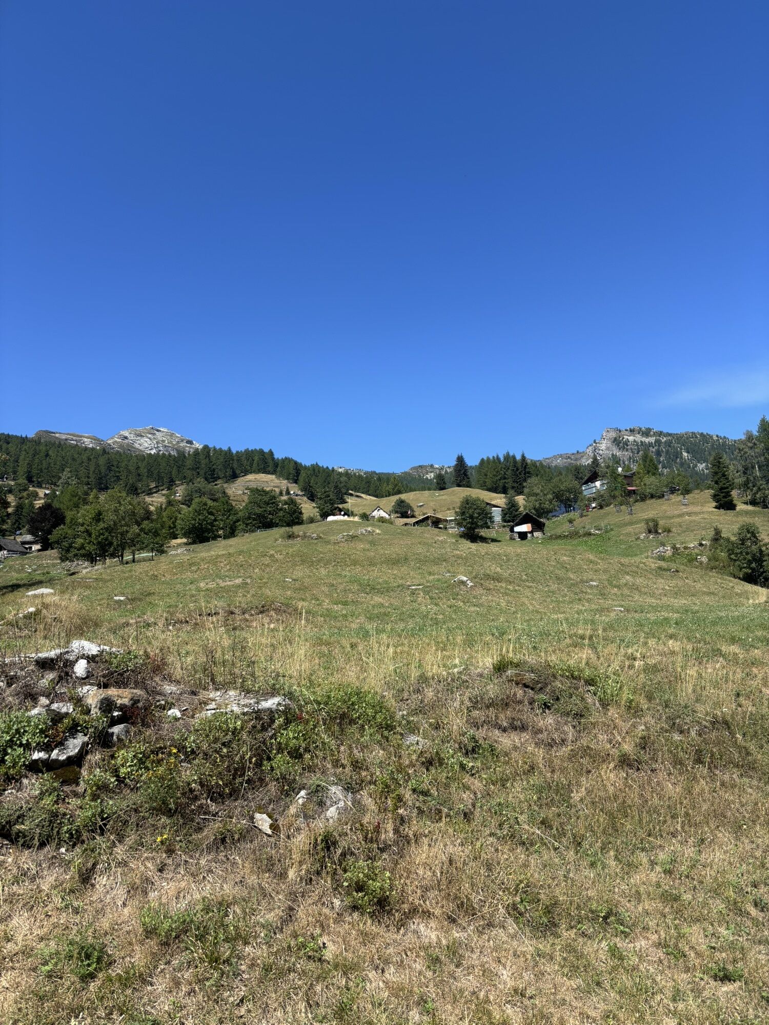
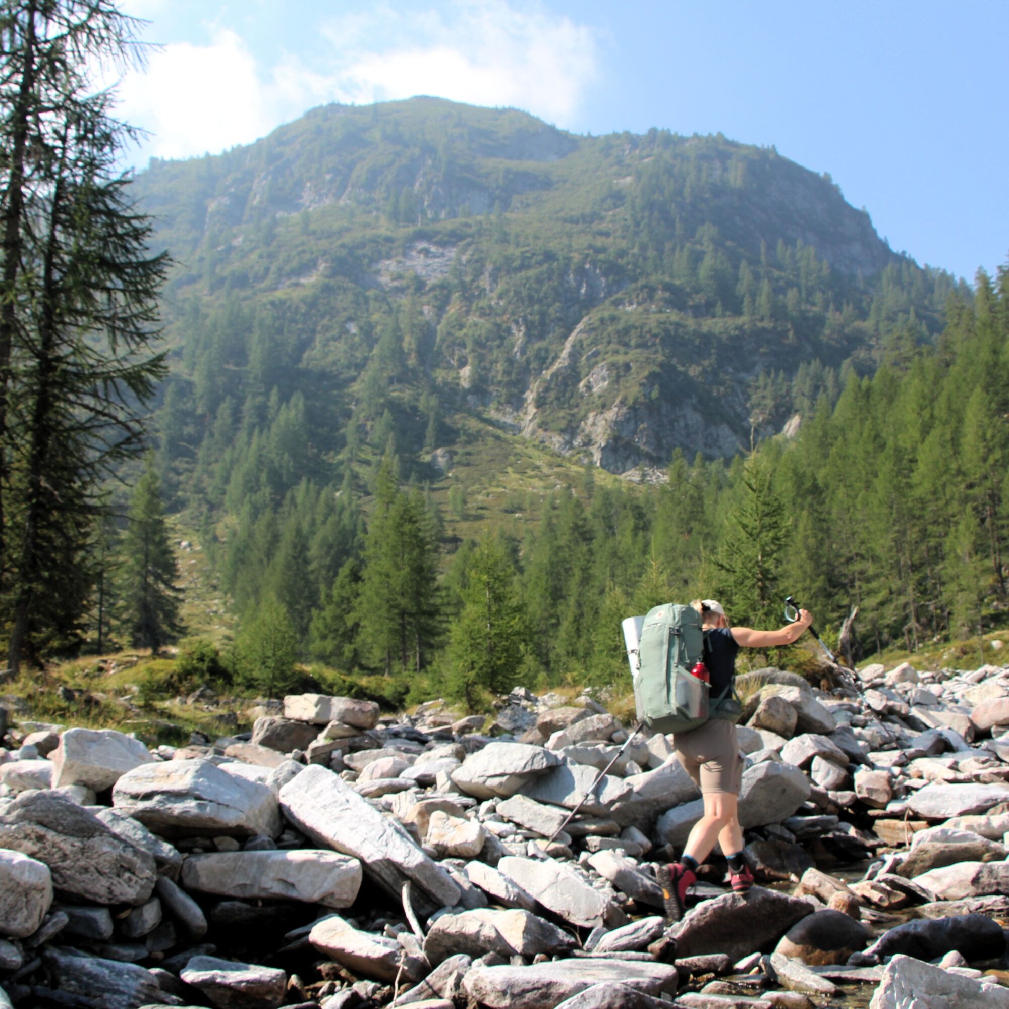
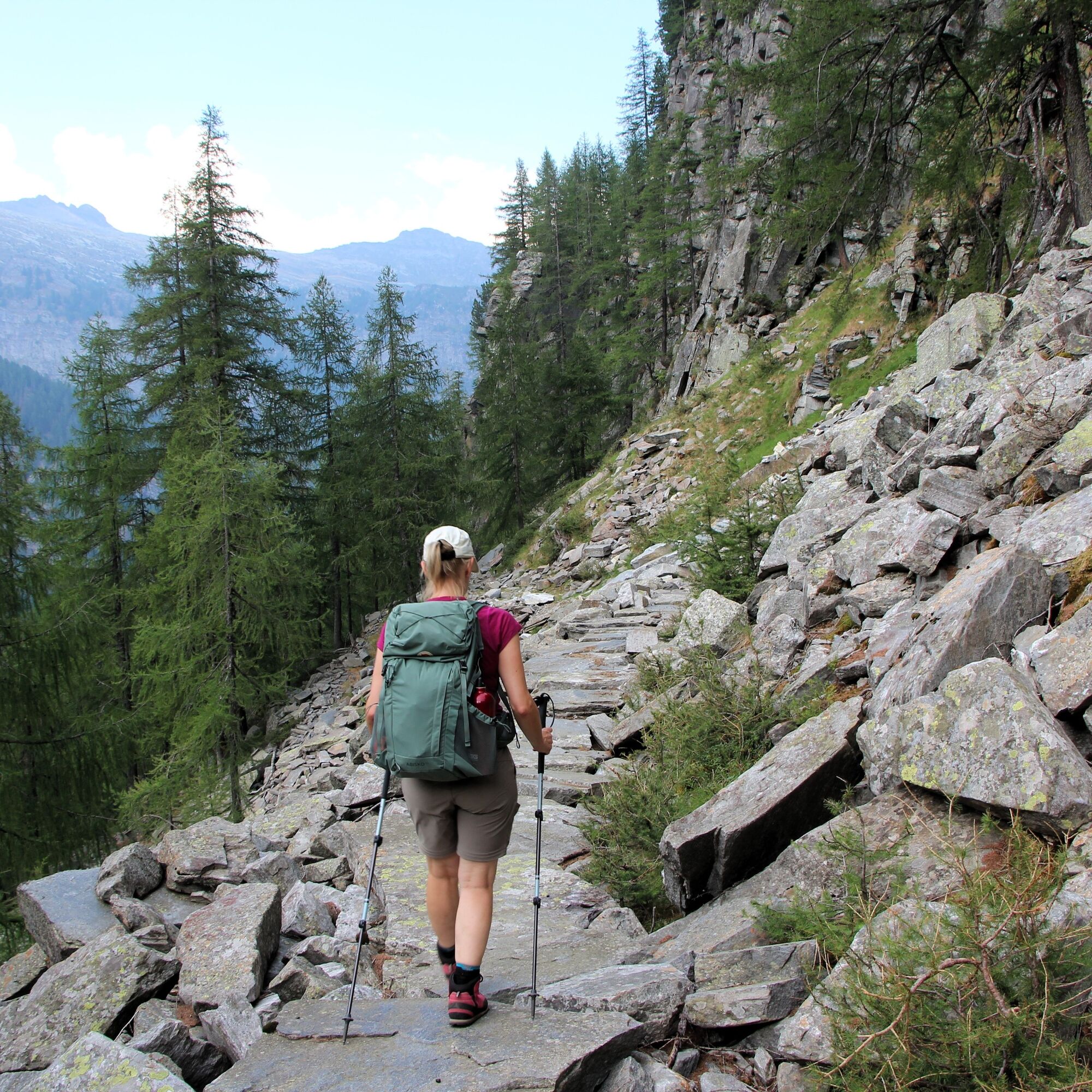
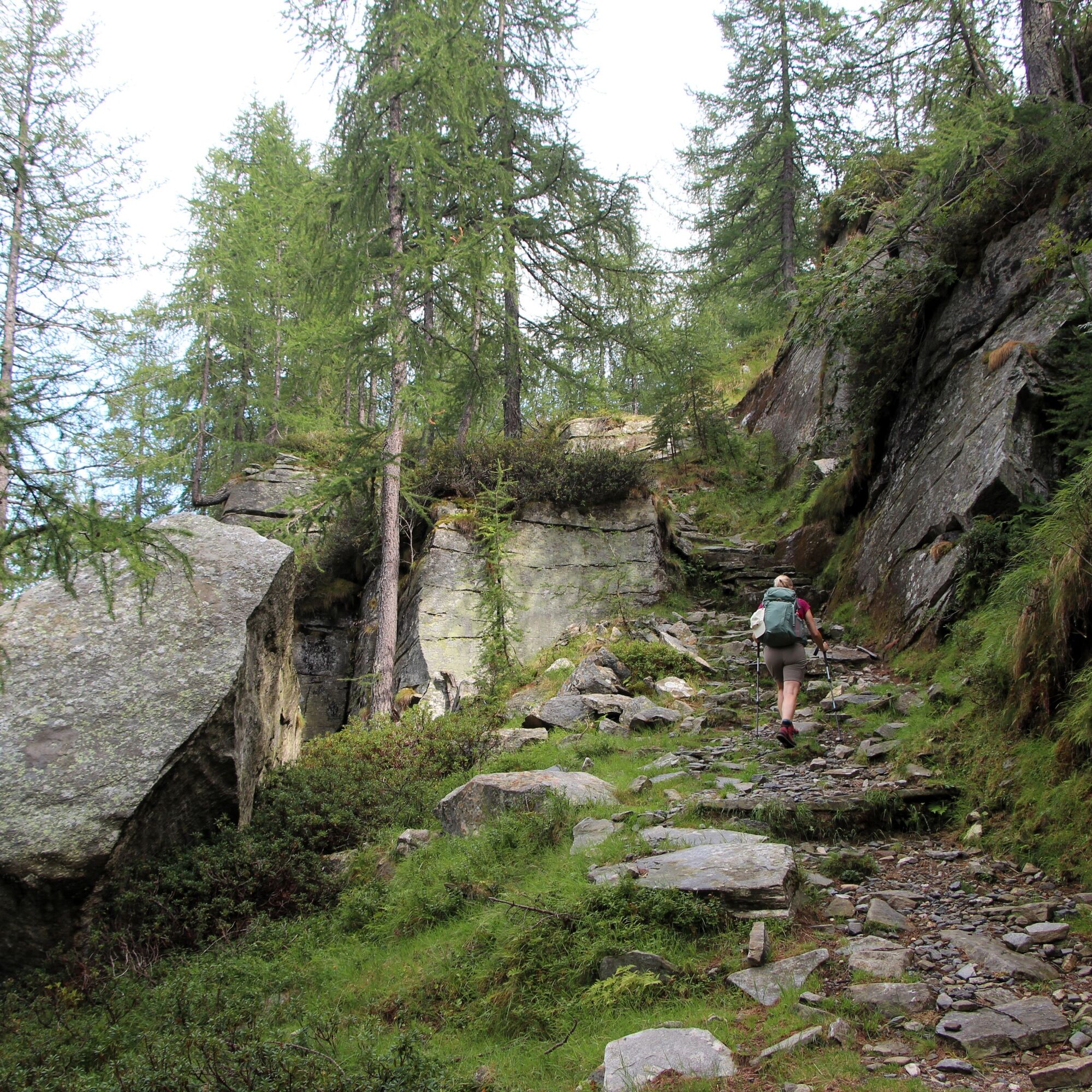
The itinerary brings together two distinct alpine worlds, two valleys which, taken together, offer a unique experience and provide an opportunity to discover the two Mountaineering Villages located in Ticino. On one side lies Campo Vallemaggia, characterised by a gentle, open plateau; on the other, Onsernone, a more rugged and wild valley, with villages clinging to its steep slopes. The trail winds through larch forests, alpine pastures and quiet, restorative natural landscapes, offering a gradual immersion in a mountain environment that has retained its authenticity. Starting from Cimalmotto, the hike initially descends towards the Rovana River before rising steadily to the pass. From the Onsernone side, the Zott–Alpe Salei cable car offers the possibility of beginning the journey comfortably at altitude.
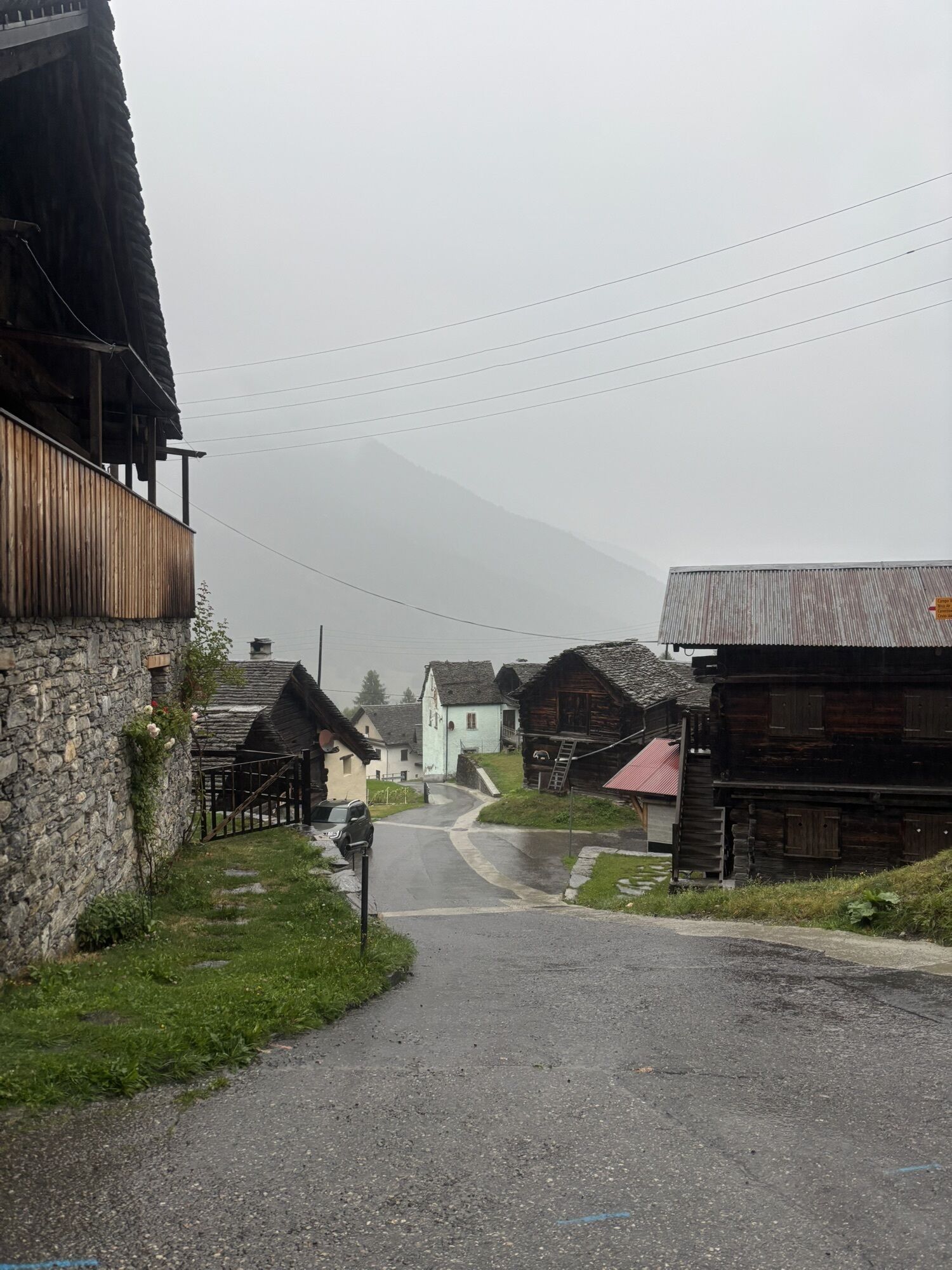
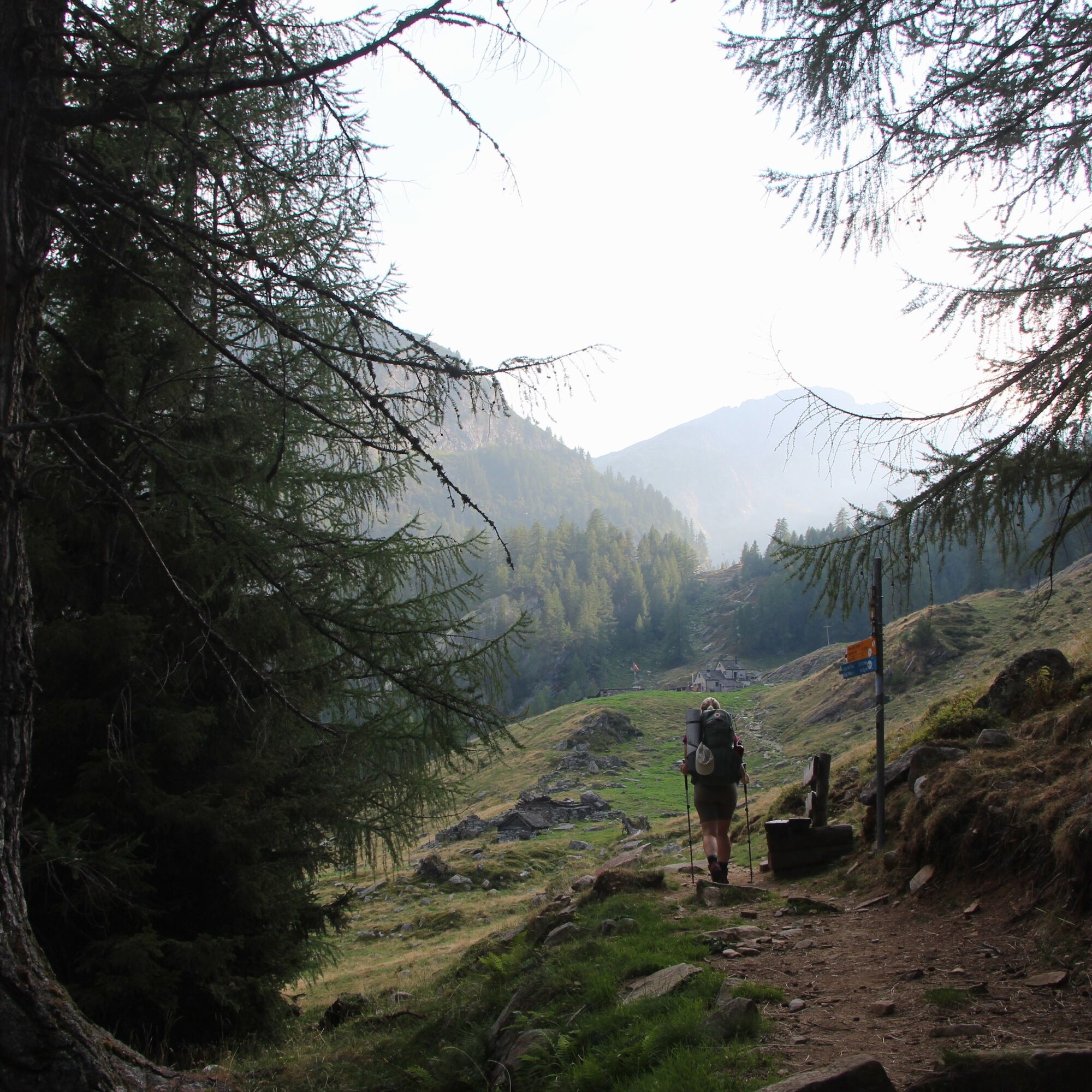
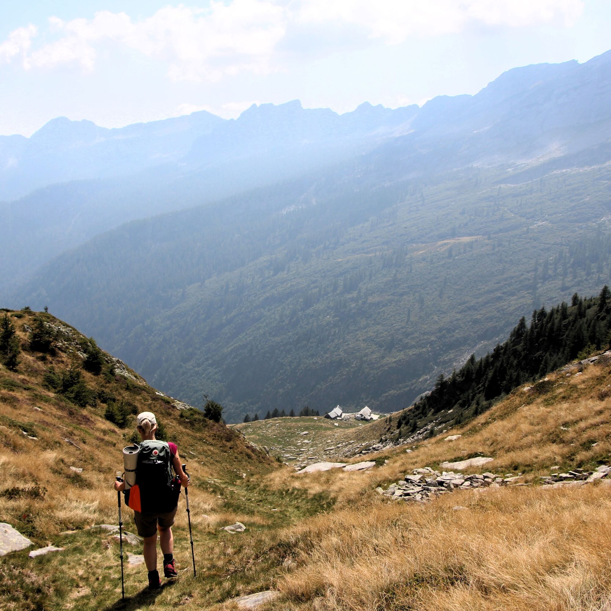
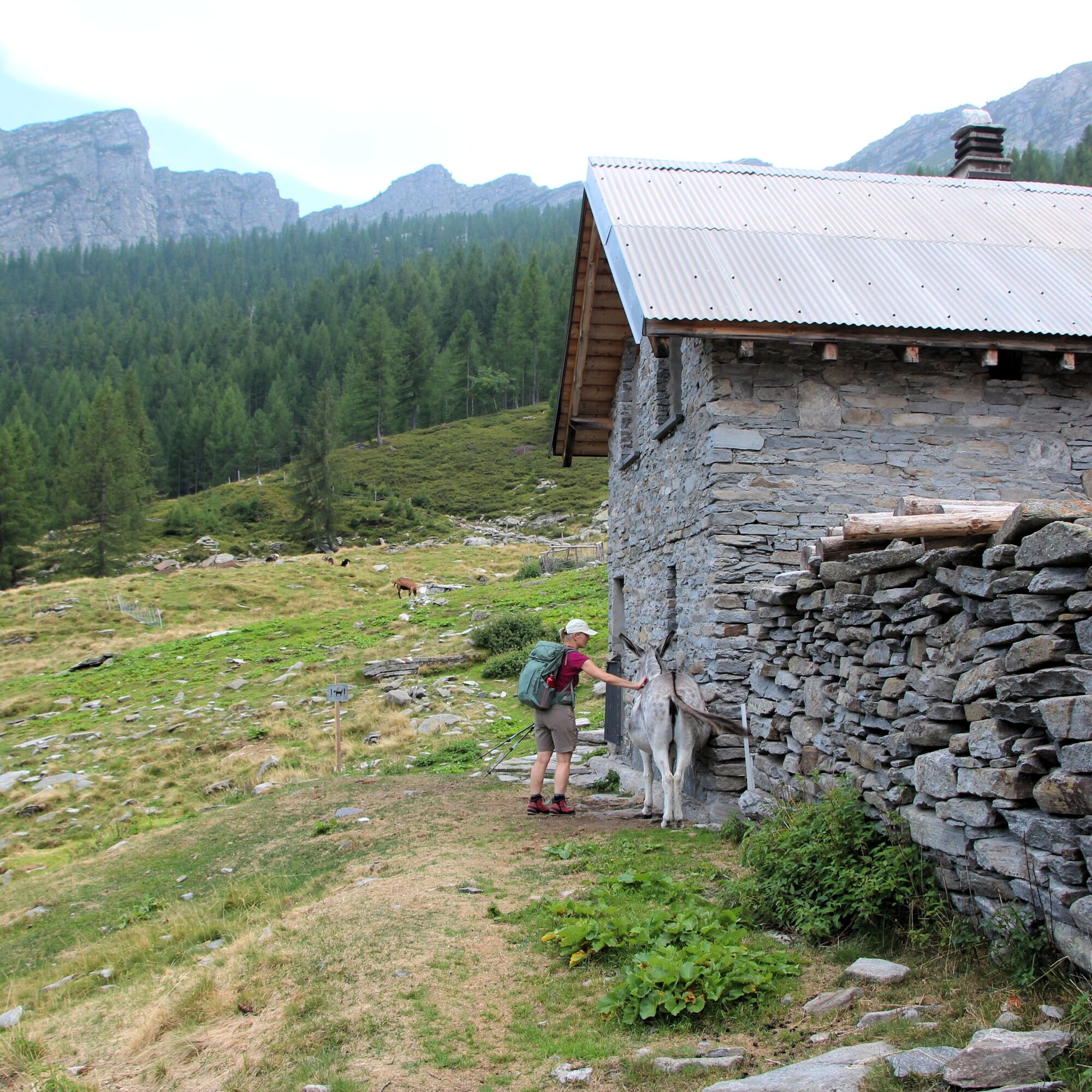
The landscape crossed by the trail tells the story of centuries of mountain agriculture: mule tracks, terraces, forests, pastures and stone buildings are all integral elements of the local identity. Among the most significant places are Alpe Sfille, which has been used for seasonal grazing by the Coppini family for six generations and where Vallemaggia DOP cheese is produced; Alpe Porcaresc, recently restored by the Patriziato Generale d’Onsernone; and Alpe Arena, where woodland, pastures, wildlife, silence and rural culture come together to create a secluded and authentic alpine landscape. It is this lived-in mountain environment, rather than a landscape preserved as a museum, that represents the true value of the route.
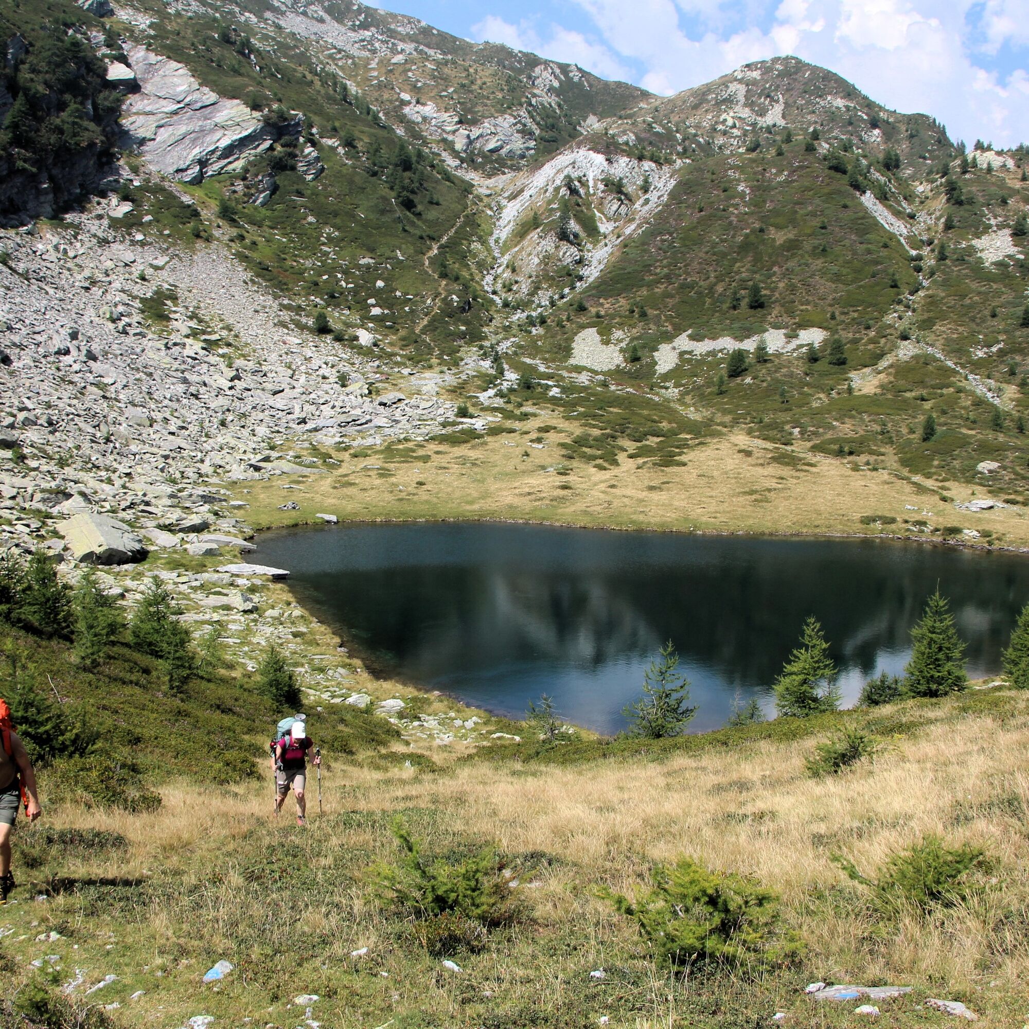
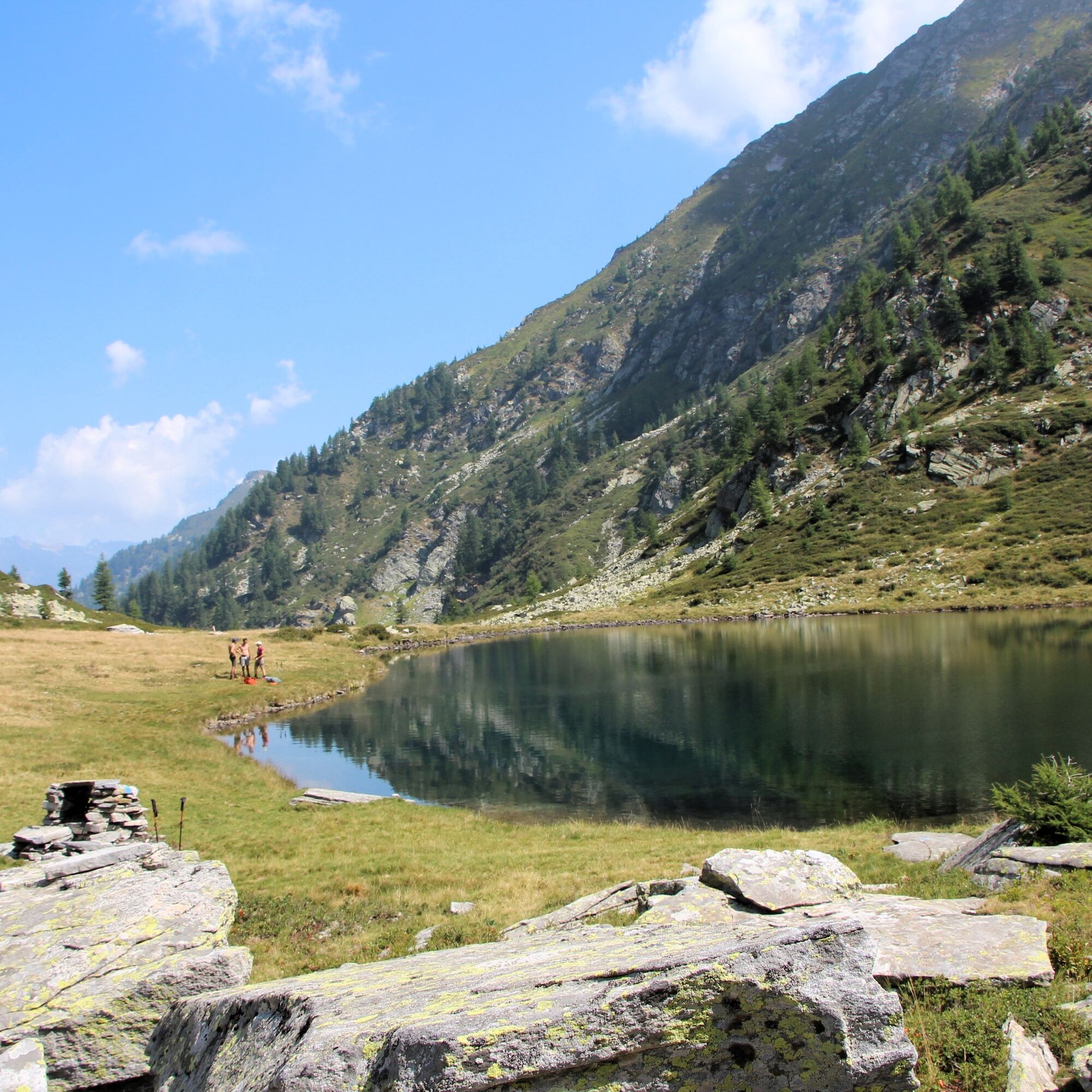
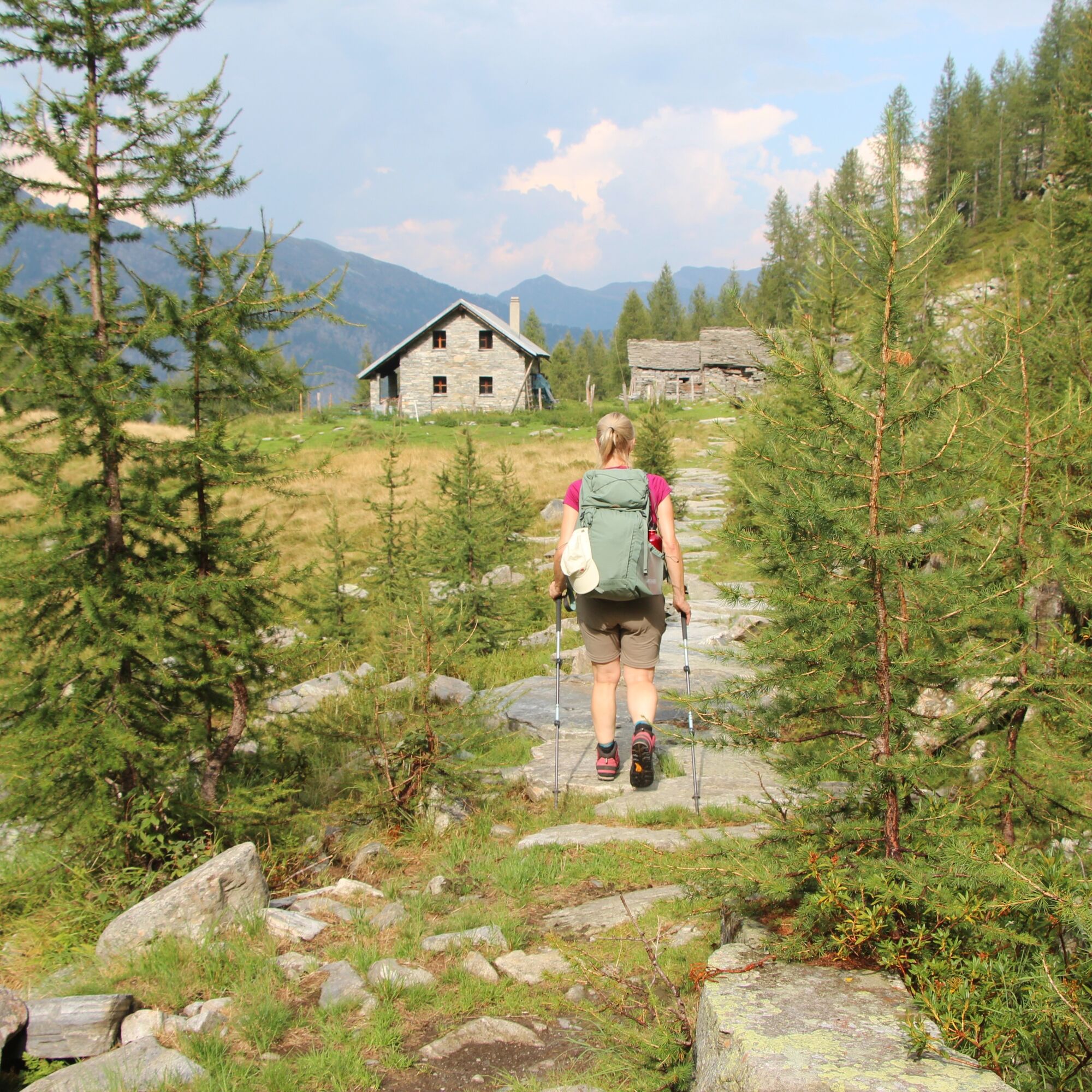
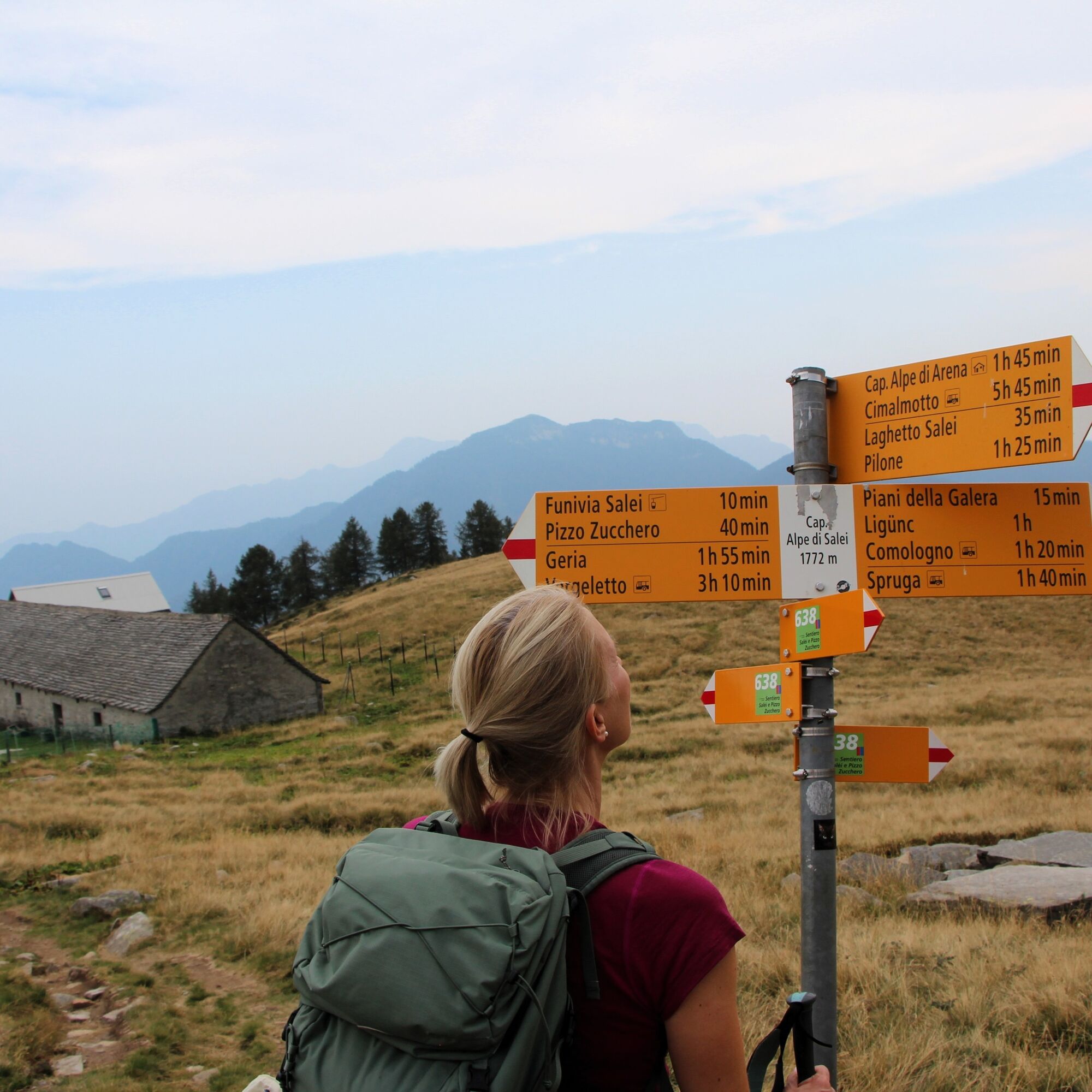
This is a journey to be experienced at one’s own pace, allowing the mountain to reveal itself along the way. Lake Cavegna, situated just below the pass of the same name, invites visitors to slow down and take a contemplative, restorative pause. The staffed Capanna Alpe Salei and the unstaffed Capanna Arena offer the possibility of spending the night at altitude. Finally, Piementíu is an alpine settlement located a short distance from Alpe Sfille and well worth a detour. Restored and inaugurated in 2026 by the Patriziato di Campo Vallemaggia, with its large stable and rural buildings, it stands as a remarkable testimony to a centuries-old tradition of alpine pastoral life.


PostBus, stops: Cimalmotto (Campo Vallemaggia), Salei-Zott cable car (Onsernone).
T2

Obľúbené výlety v okolí
-
4,7
Foroglio-Calnègia-Foroglio
strednáTuristika 8,37 km -
4,0
Maggia-Someo-Maggia
svetloTuristika 15,5 km -
5,0
Spruga-Alpe Saléi-Comologno
strednáTuristika 8,96 km -
5,0
In the footsteps of Mr. Geiser
strednáTematická trasa 6,73 km -
3,5
The Market Route (SwitzerlandMobile 631)
strednáTuristika 12,1 km -
5,0
Cimalmotto-Lake Sfii-Cimalmotto
strednáTuristika 12,6 km -
5,0
Bosco Gurin-Lago Melo-Lago Pero-Bosco Gurin
strednáTuristika 10,6 km -
4,0
Lodano-Soláda-Castèll-Lodano
strednáTuristika 8,11 km -
5,0
Monte Comino-In di Mètri-Monte Comino
strednáTuristika 5,98 km -
5,0
TESSIN | Foroglio
strednáTuristika 3,86 km
Turistika a stopovanie


Nenechajte si ujsť ponuky a inšpiráciu na ďalšiu dovolenku
Vaša e-mailová adresa bol pridaný do poštového zoznamu.





