







Long-distance hiking trail - Panoramaweg Schwarzatal - Thuringian Forest
Úroveň náročnosti: T2
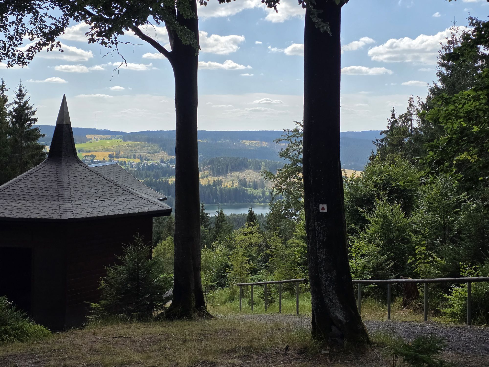
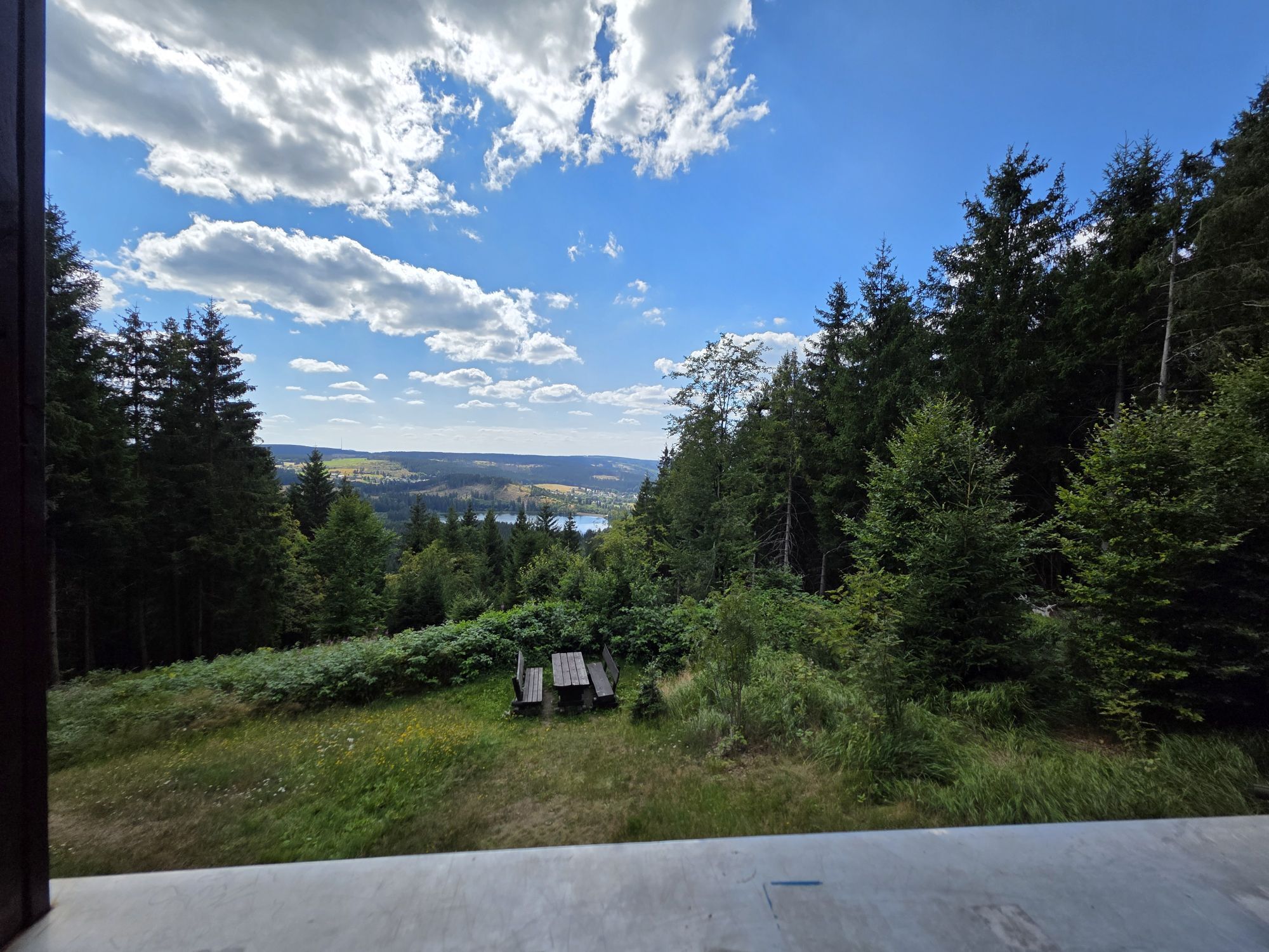
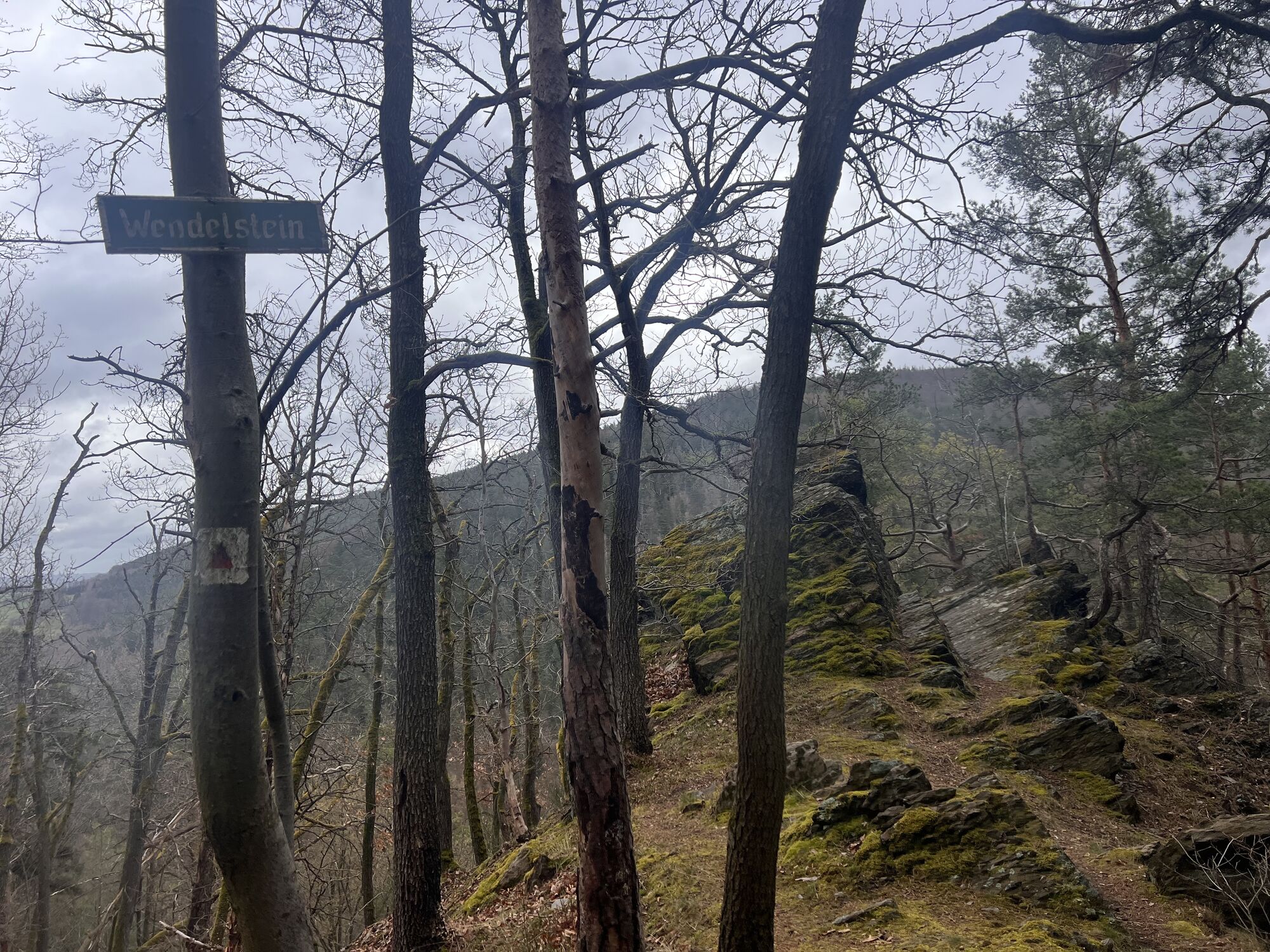
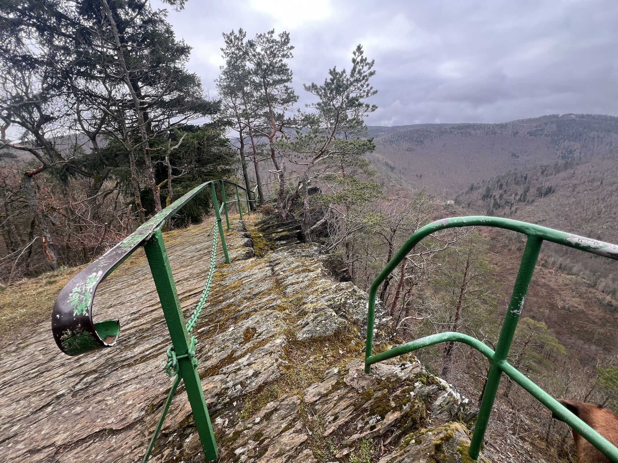
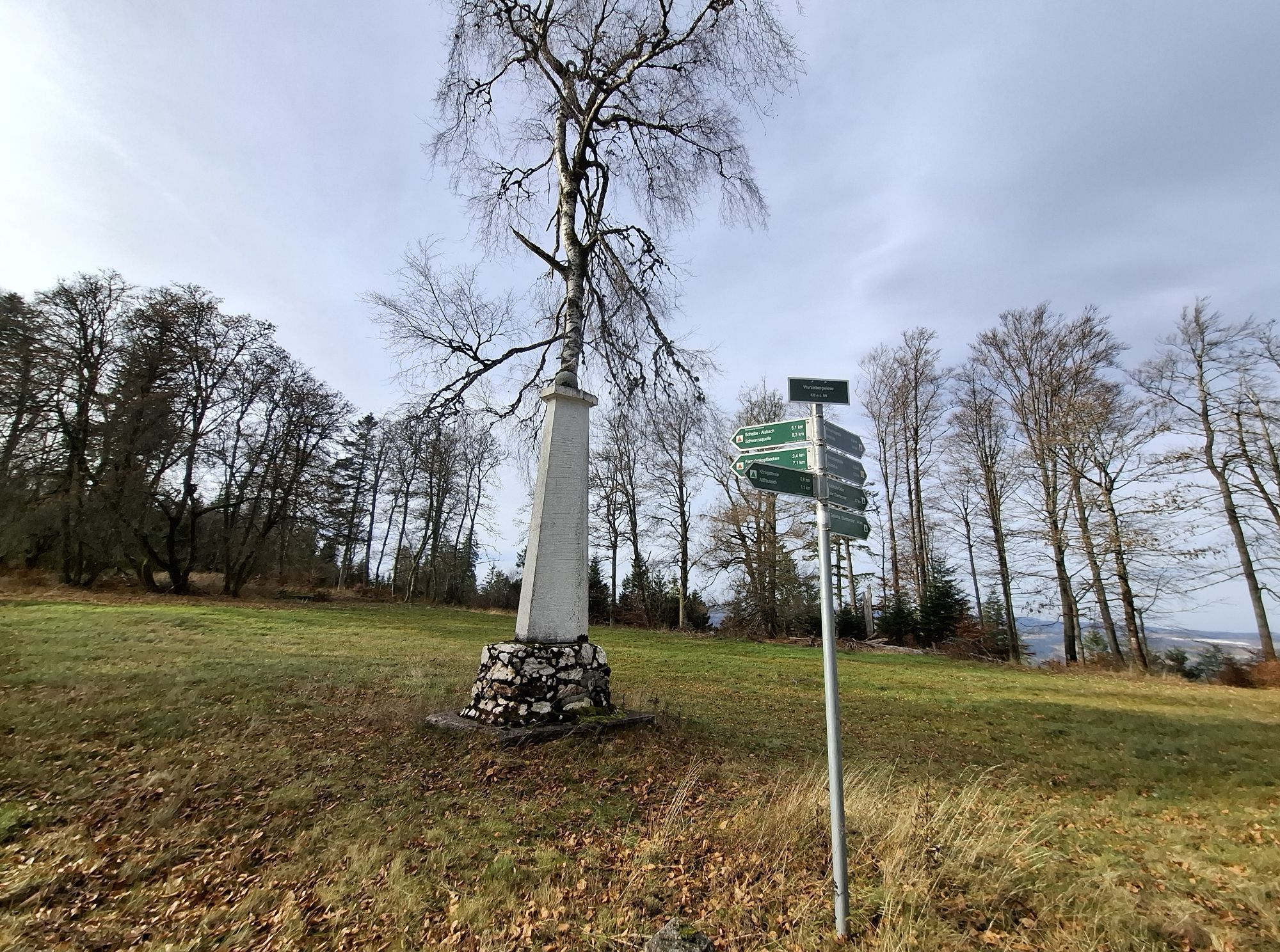
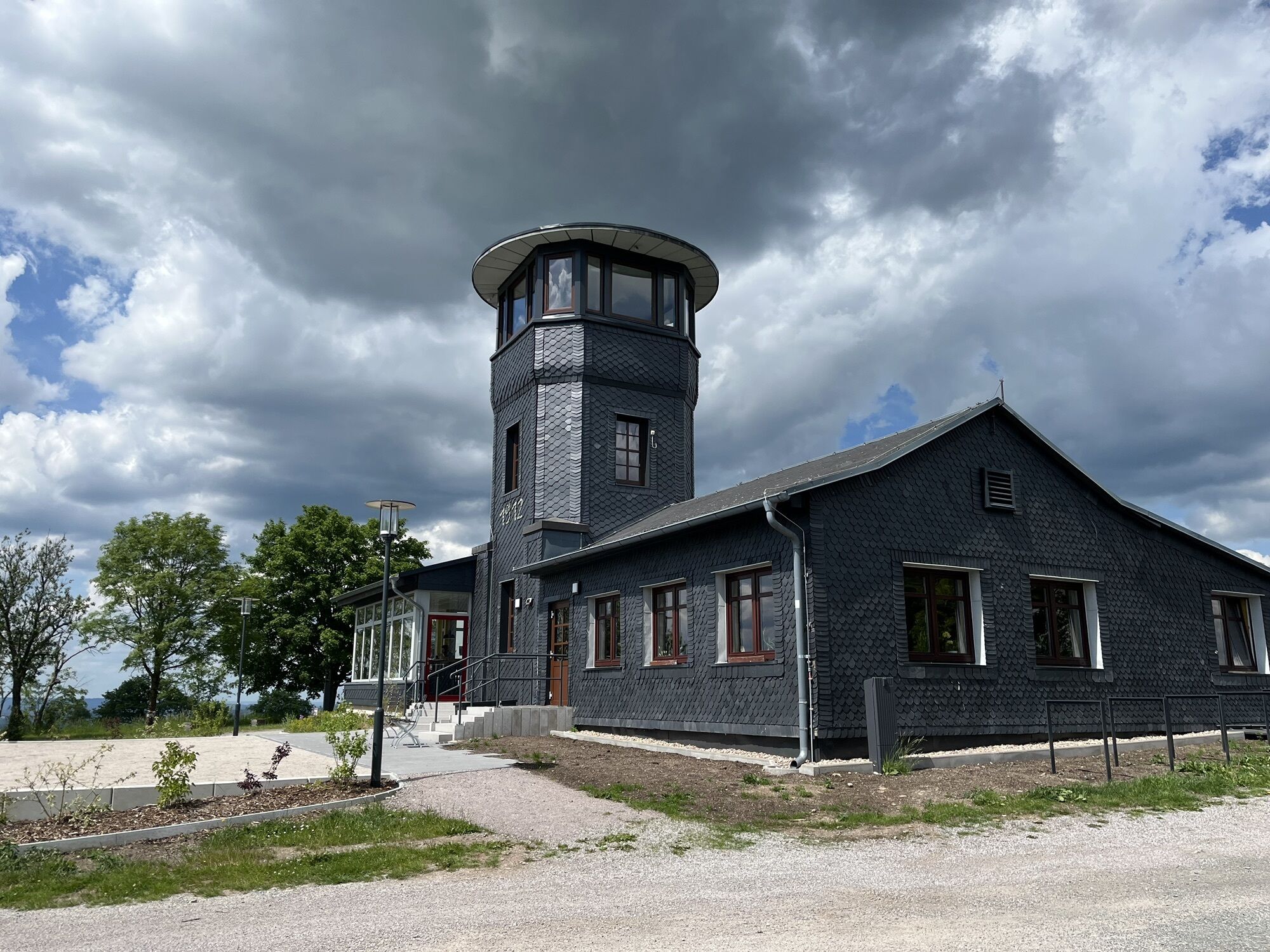

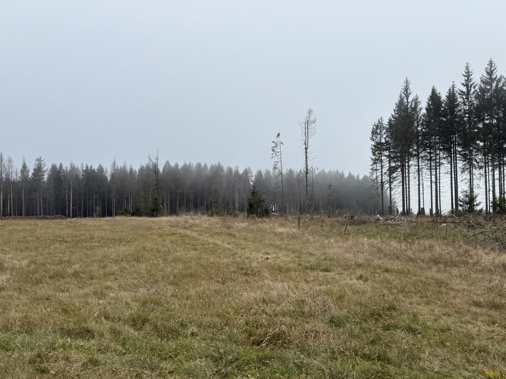
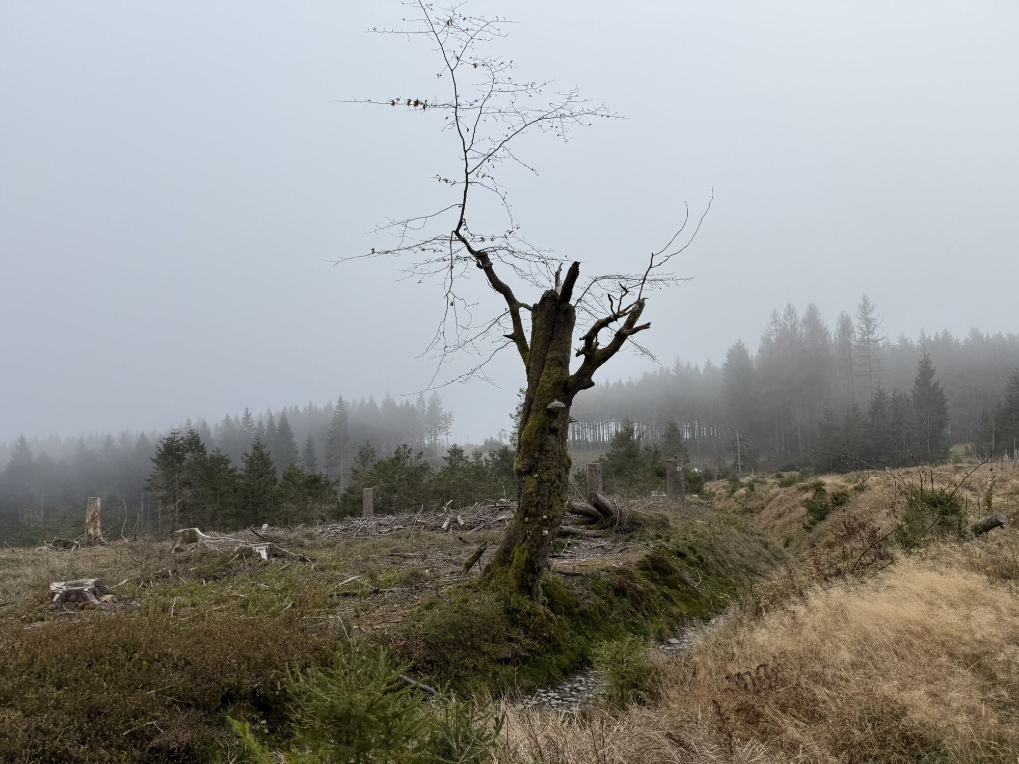
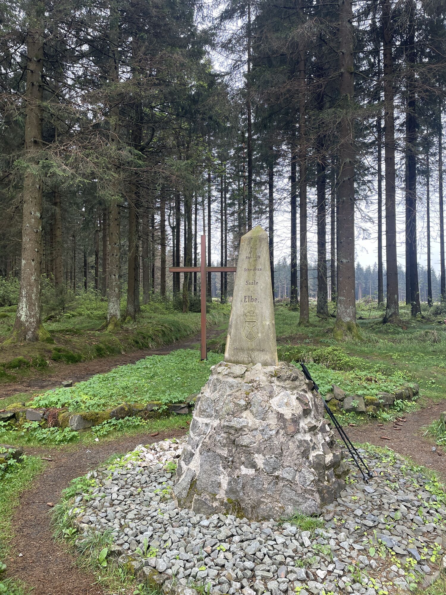
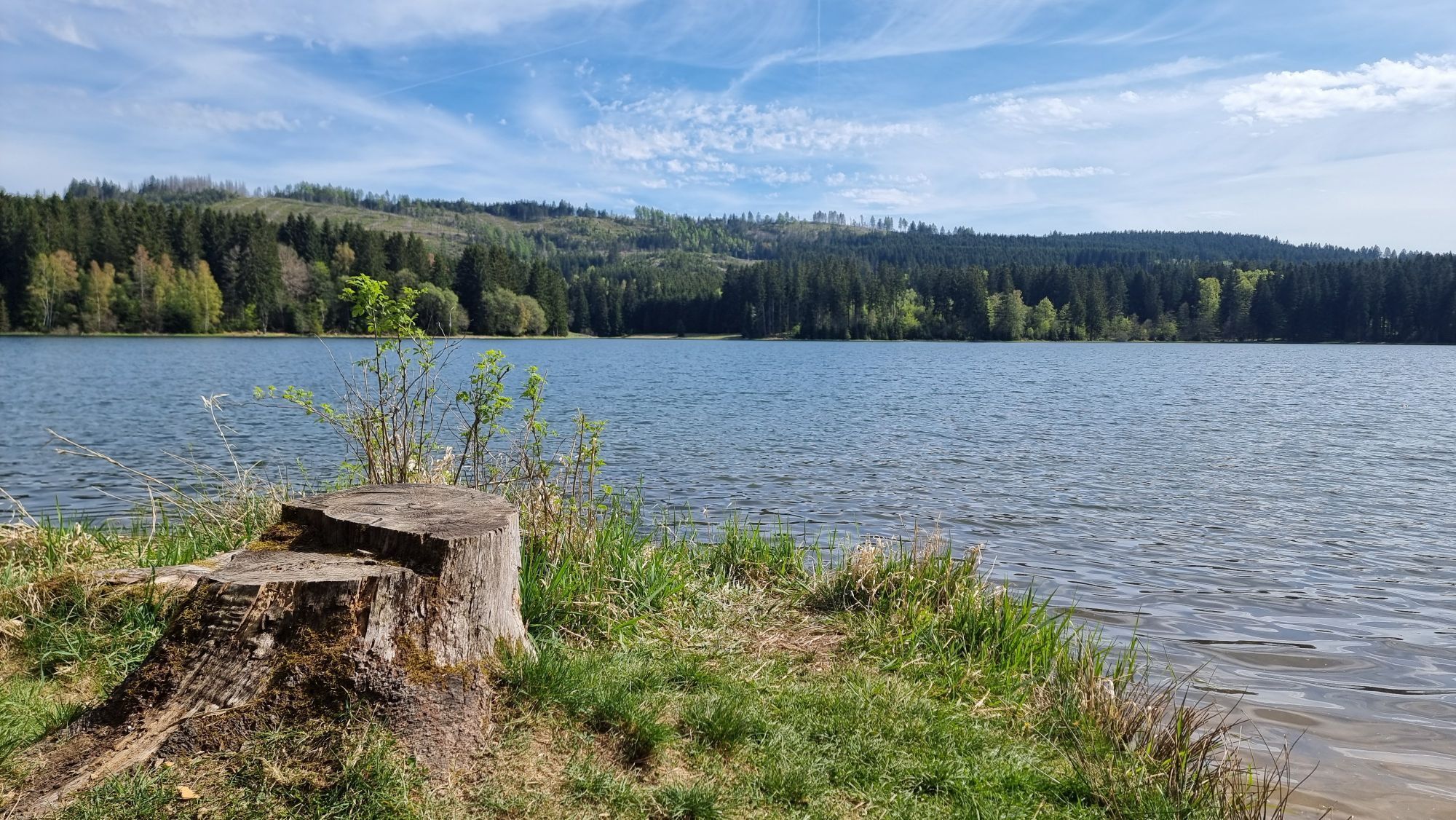
Panoramaweg Schwarzatal - everything a hiking enthusiast desires:
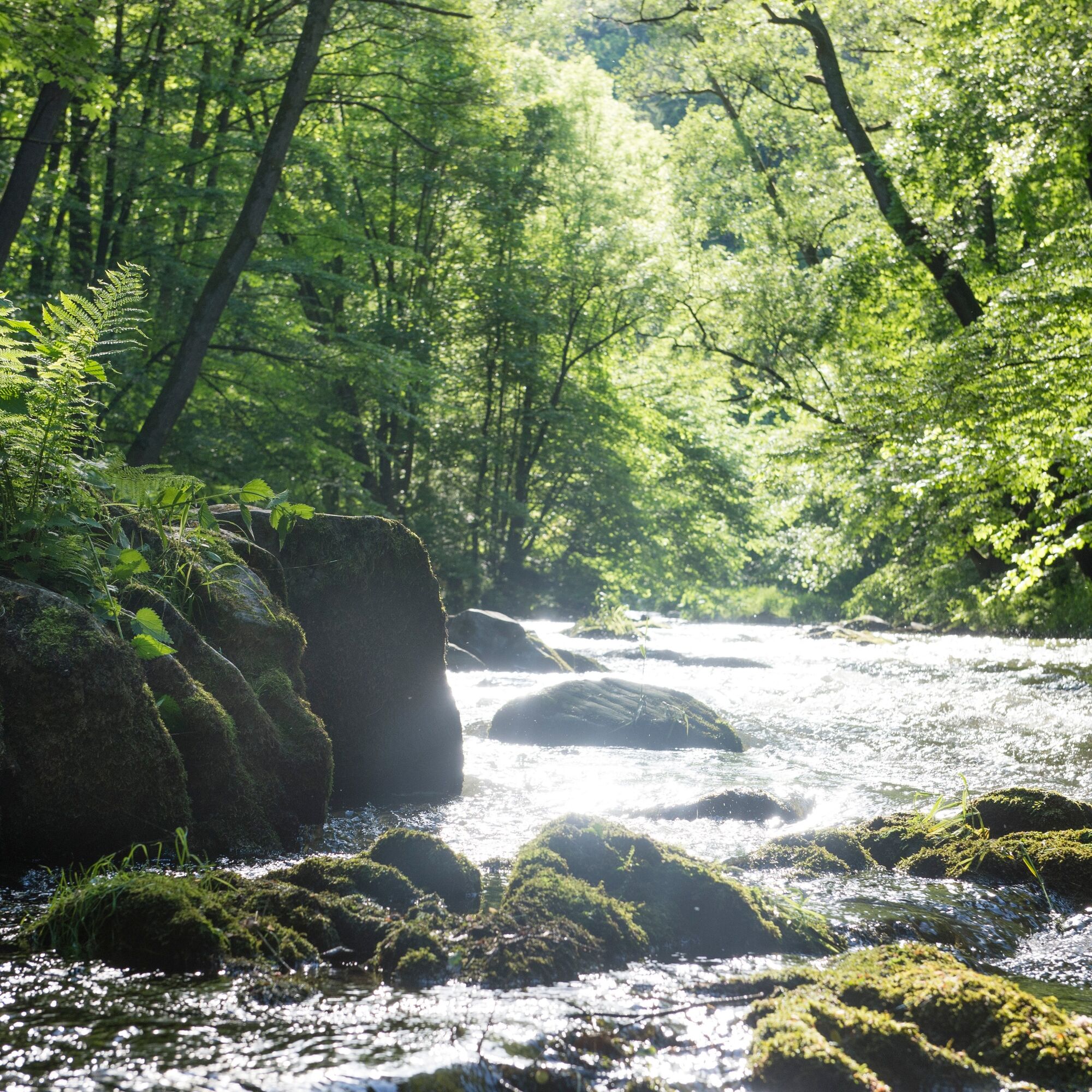
A harmonious cultural landscape with untouched nature, reservoirs, ancient forests, magnificent views, castles and palaces, and much more....
Panoramaweg Schwarzatal - everything a hiking enthusiast desires:
A harmonious cultural landscape with untouched nature, reservoirs, ancient forests, magnificent views, castles and palaces, and much more. Hiking it is joy and pleasure, whether over its entire 135 km or on the various stages, which are also possible as circular hikes from all holiday destinations in the Schwarzatal.
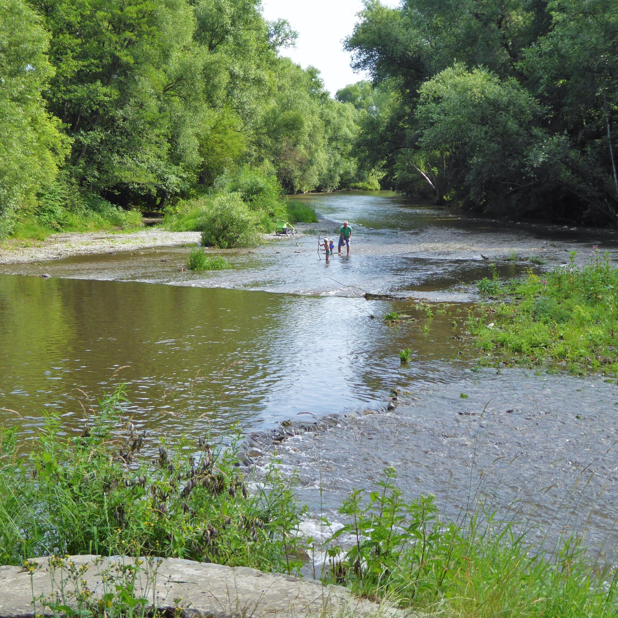
Hiking the Panoramaweg is a journey of joy and pleasure. Over its 135 km with beautiful paths and trails around one of Germany's most beautiful mountain rivers, the Schwarza, it connects the Rennsteig, one of Germany's best-known hiking trails, with the castle landscape of the Saale.
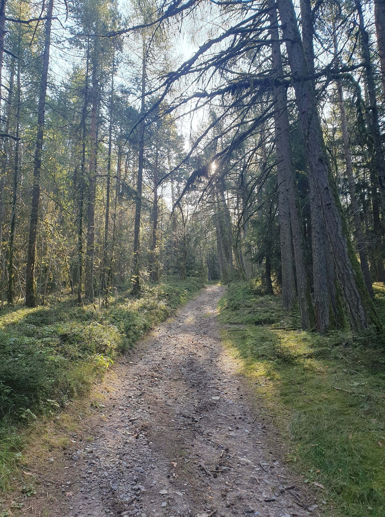
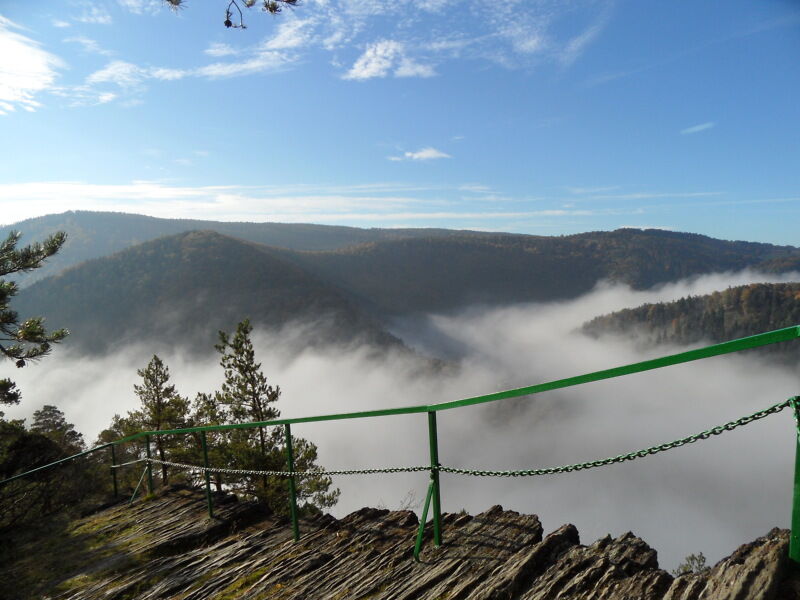
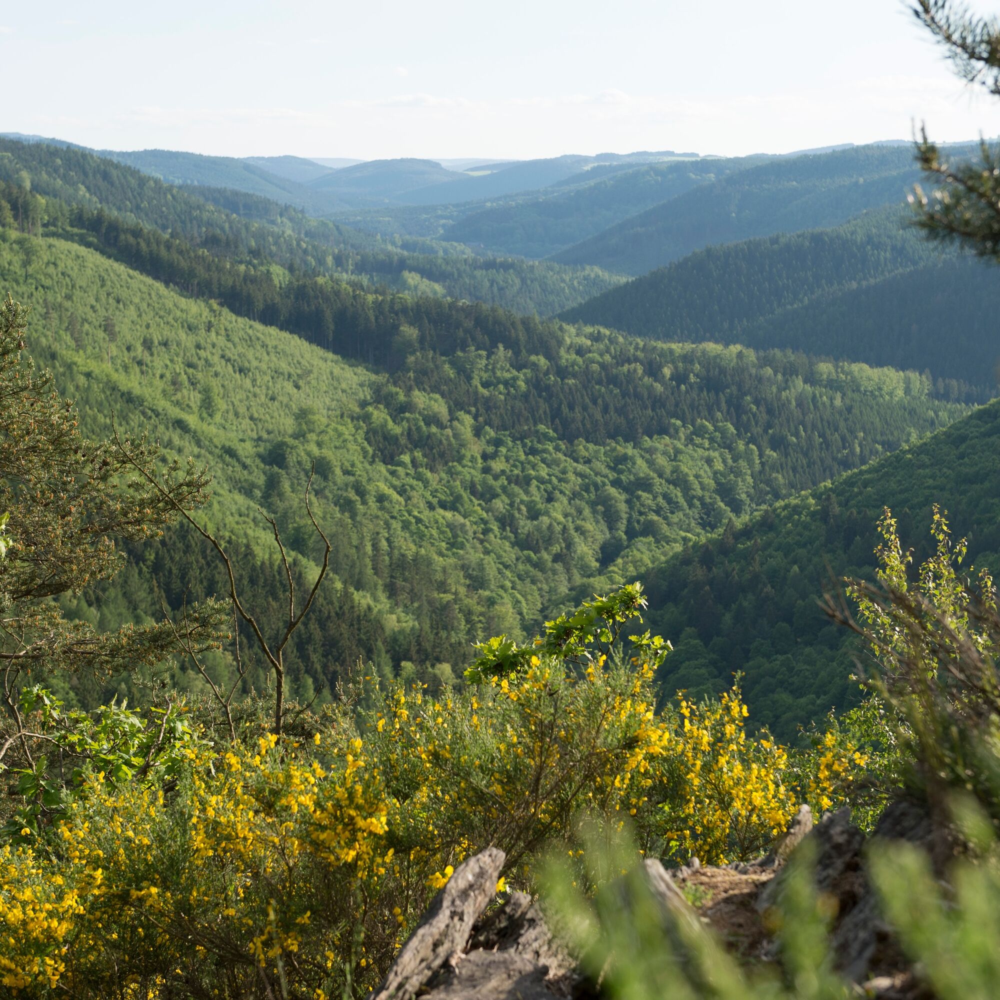
From 200 m above sea level (mouth of the Schwarza into the Saale) up to nearly 850 m you have to ascend before reaching the Rennsteig. Sometimes the path runs directly along the rocky bank of the Schwarza, sometimes it turns off into one of the quiet side valleys to lead from there to one of the numerous mountain peaks. Again and again you get magnificent views over the Thuringian Forest, the Thuringian Slate Mountains, and - in particularly good weather - even as far as the Brocken in the Harz.
On this hiking trail, you can collect digital hiking stamps (QR scans). With a personal stamp account, after collecting all stamp codes, you will receive a certificate.

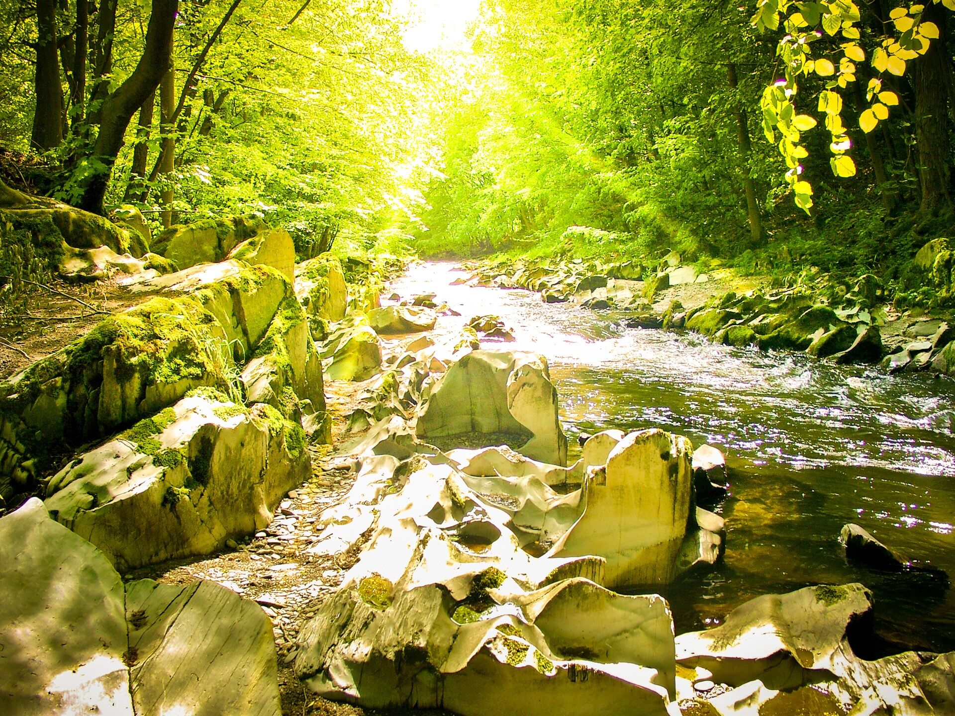
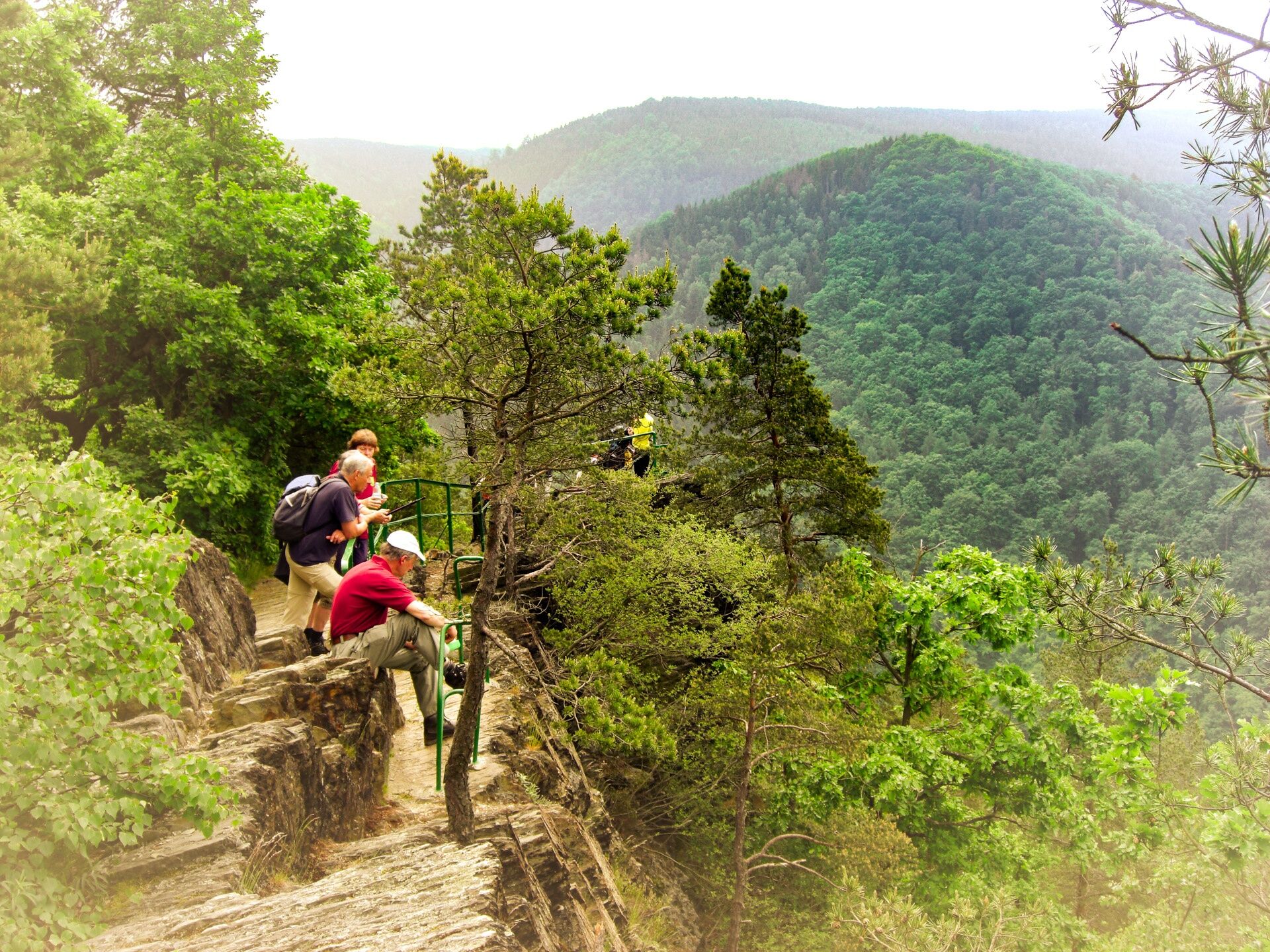
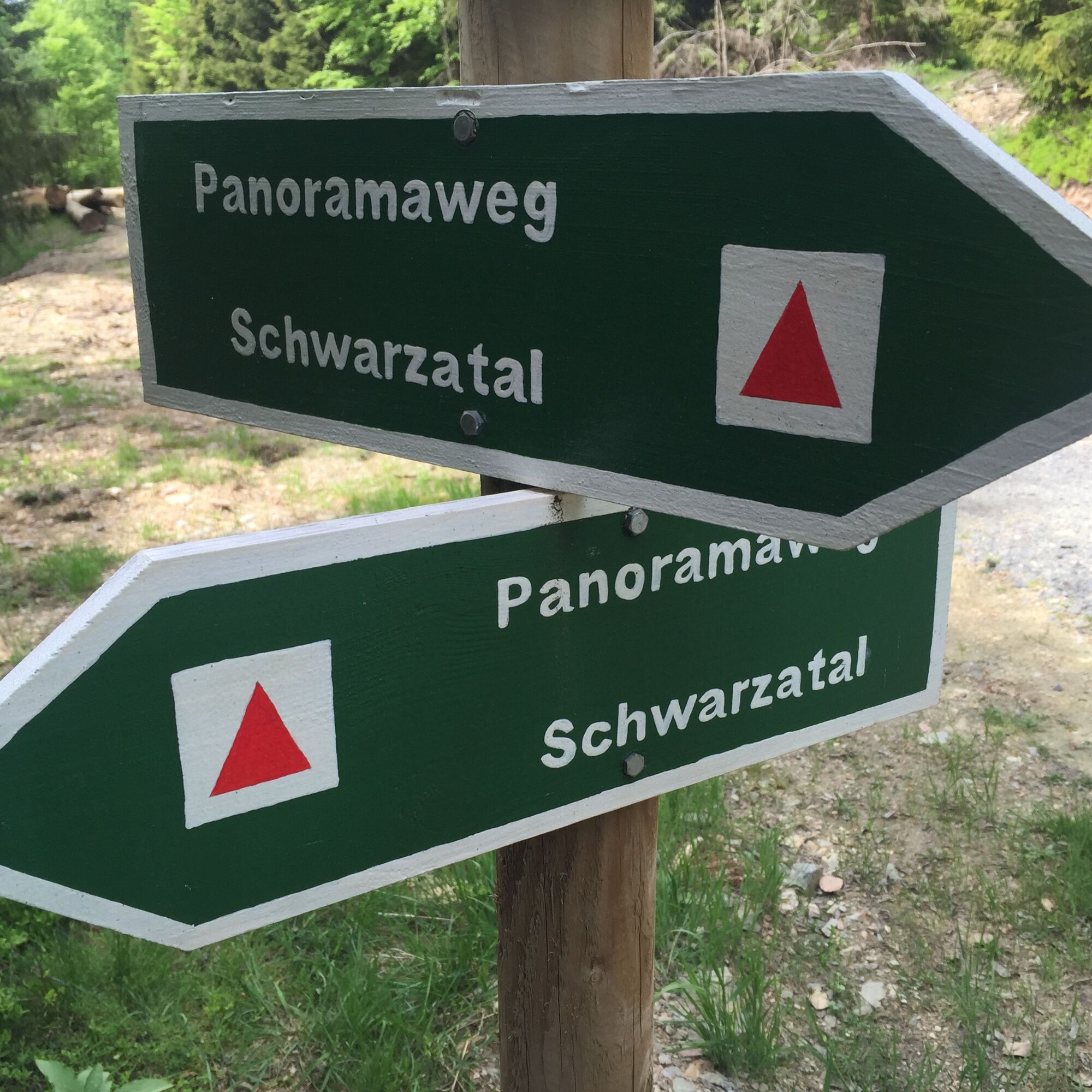
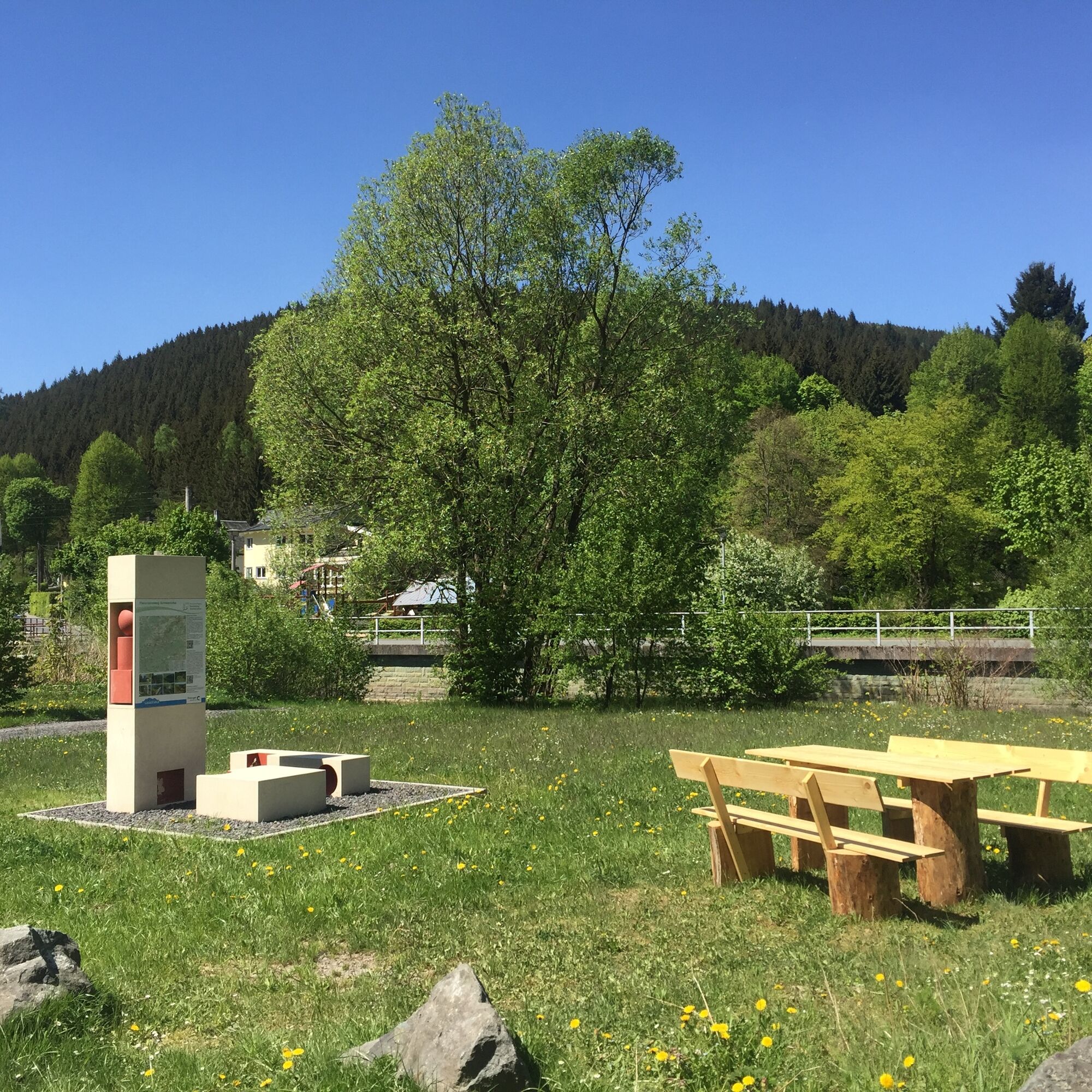
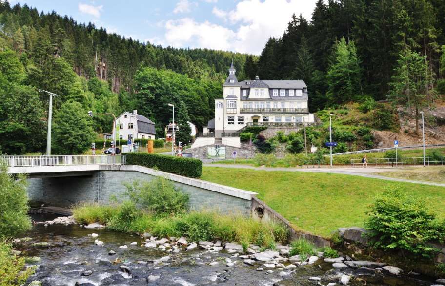
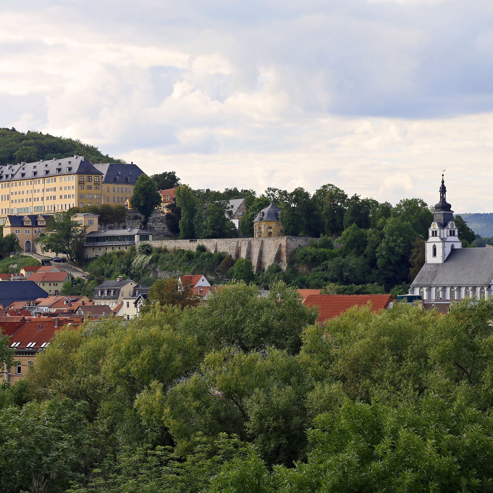
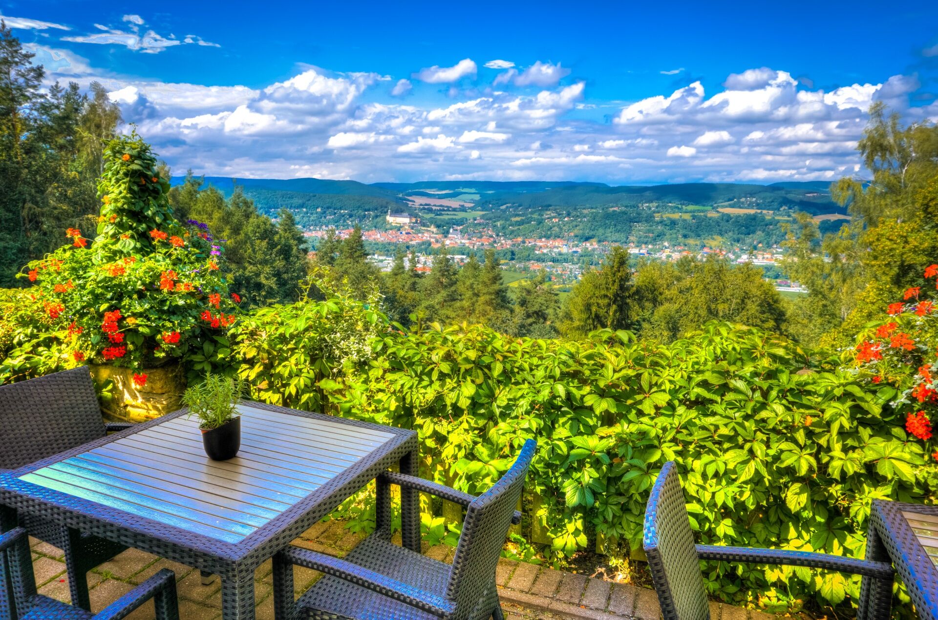


The path is consistently marked with a red triangle on a white background.
It leads from Rudolstadt-Schwarza via Bad Blankenburg - Schwarzburg - Sitzendorf - Unterweißbach - Oberweißbach - Cursdorf - Meuselbach - Katzhütte - Scheibe-Alsbach - Limbach - Friedrichshöhe - Goldisthal - Masserberg - Altenfeld - Großbreitenbach - Schwarzmühle - Mellenbach-Glasbach - Barigau - Oberhain - Cordobang - Böhlscheiben - Bad Blankenburg back to Rudolstadt-Schwarza
Áno
Wear sturdy footwear, rain gear, and carry sufficient water
Be careful of slippery and slick spots when walking through the gorges. The stream's watercourse is partly directly under the hiking path. Limited accessibility applies in ice and snow.
Please behave considerately and quietly in the forest to protect flora and fauna. Follow the instructions of forestry staff and pay attention to restrictions due to forestry work.
Coming from the A9, exit 26 (Triptis) and continue on the B281 towards Neustadt an der Orla.
Follow the B281 to Saalfeld, stay on the main B281/B85 route heading west and continue on the B85 towards Rudolstadt.
Shortly before crossing the Saale, turn left onto the B88 towards Bad Blankenburg. After approx. 600m you will reach the hiking parking lot.
You can reach the starting point of the Panoramaweg in Schwarza by bus and train from Erfurt, Jena or Saalfeld.
The Erfurter Bahn serves the Bad Blankenburg station towards Erfurt on lines EBx 47 and EB23. Schedule information is available HERE.
From Jena and Saalfeld, trains of ABELLIO Rail Mitteldeutschland GmbH operate to Rudolstadt station. Schedule information can be found HERE
The bus connection to the next stop (Milchhof / Schwarza) runs from Bad Blankenburg via line S2 and from Rudolstadt with bus 302 of KomBus GmbH --> Find schedule info here (Select the respective line)
You can also use the Deutsche Bahn travel information service for direct travel. Enter "Schwarza Milchhof, Rudolstadt" as destination.
From the destination stop, walk east to the roundabout and then follow the B88 a short distance southeast to the hiking start.
Use the hiking parking lot in Schwarza / Rudolstadt (NAV-LINK)
T2
Flyer on the Panoramaweg (PDF)
Rennsteig-Schwarzatal on the Web
Additional material and background information on hiking in the Thuringian Forest can be found at www.thueringer-wald.com.
Be sure to take a ride on the Thüringer Bergbahn. The restored and monument-protected railway connects the Schwarzatalbahn with the high plateau around Oberweißbach.
Získajte prehľad
Vždy naživo na mieste s viac ako 9 500 webovými kamerami. bergfex Ako používateľ Pro si teraz môžete pozrieť príslušné webové kamery pre mnohé zájazdy v aplikácii zájazdy z. Môžete si tak priamo prezerať aktuálne podmienky.
Obľúbené výlety v okolí
-
5,0
Naturlehrpfad Gießübler Schweiz
strednáTuristika 7,99 km -
3,0
Circular hike - "4 ponds hike" Neustadt am Rennsteig - Thuringian Forest
ťažkéTuristika 12,6 km -
3,8
Rundweg Talsperre
strednáCyklistika 14,5 km -
The Rennsteig - long-distance hiking trail from Hörschel to Blankenstein - Thuringian Forest
ťažkédiaľková pešia trasa 169,0 km -
5,0
Circular hiking route - TOP 1 - Werra Source - Masserberg - Thuringian Forest
strednáTuristika 5,94 km -
5,0
Rundtour Staudamm
svetloTuristika 3,91 km -
5,0
Circular hike - To the Schönbrunn Dam - Frauenwald
strednáTuristika 15,1 km -
Circular route - "When Rennsteig meets the Schwarzatal panorama path" - Limbach
strednáTuristika 9,68 km -
5,0
Circular hiking route - "Panorama View" - Schönbrunn - Thuringian Forest
strednáTuristika 9,79 km -
5,0
Circular route 5 - Neustadt am Rennsteig - Thuringian Forest
strednáTuristika 8,50 km
Turistika a stopovanie


Nenechajte si ujsť ponuky a inšpiráciu na ďalšiu dovolenku
Vaša e-mailová adresa bol pridaný do poštového zoznamu.





