





Circular hiking trail - Mushroom experience trail Gräfenwarth - Thuringia
On the approximately 6 km long circular route along the banks of the Bleiloch reservoir, you can experience the construction, development, and diversity of mushrooms at 13 different stations. Not only...
On the approximately 6 km long circular route along the banks of the Bleiloch reservoir, you can experience the construction, development, and diversity of mushrooms at 13 different stations. Not only information is provided, but also interactive experiences.
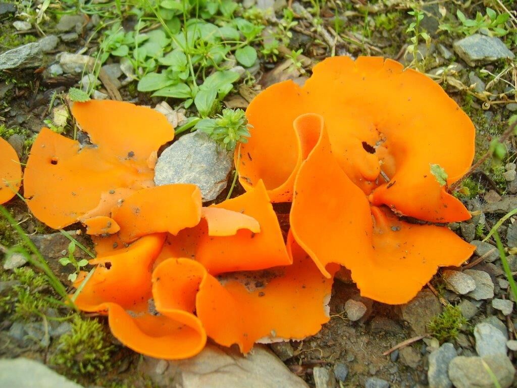
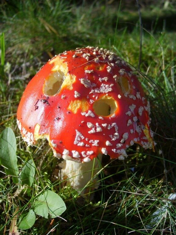
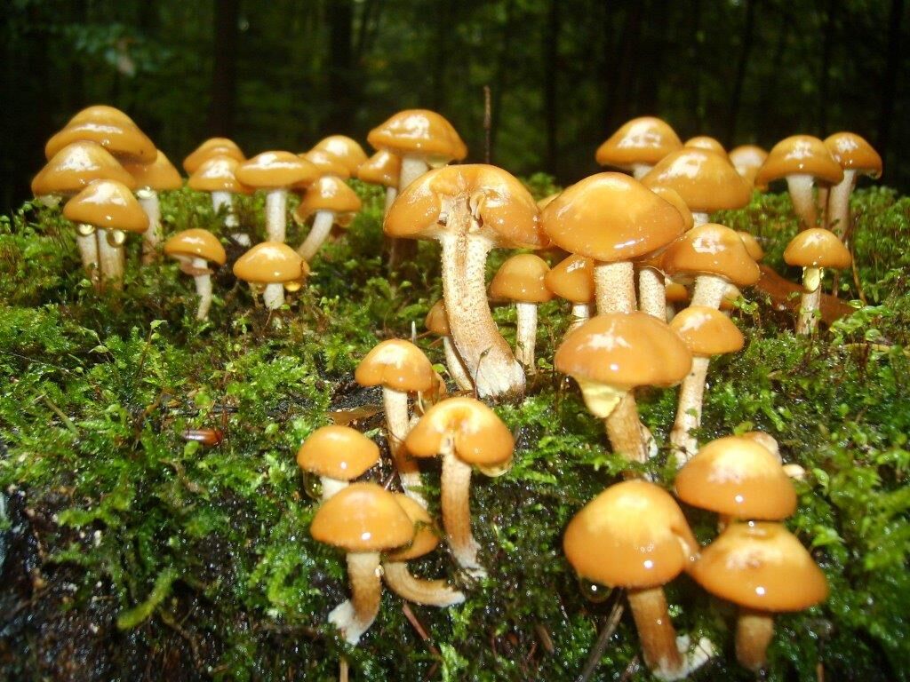
Starting at the hiking parking lot at the entrance to Gräfenwarth with a mushroom mycelium made of ropes, you follow the traces of mushroom life. Oversized mushroom caps, stems, or spores made of wood bring the diversity of mushroom forms close at various stations. In the "Fairy tale room," you can learn about mythology and the world of legends surrounding mushrooms. Special fairy tales written exclusively for the experiential trail deal with how mushrooms got their appearance. The functions of mushrooms in the ecosystem or topics like athlete's foot, mold fungi, or radioactivity are also clearly demonstrated.
And incidentally, you can enjoy wonderful views of the dammed Saale, the Bleilochstausee.
Trail marking: friendly mushroom face

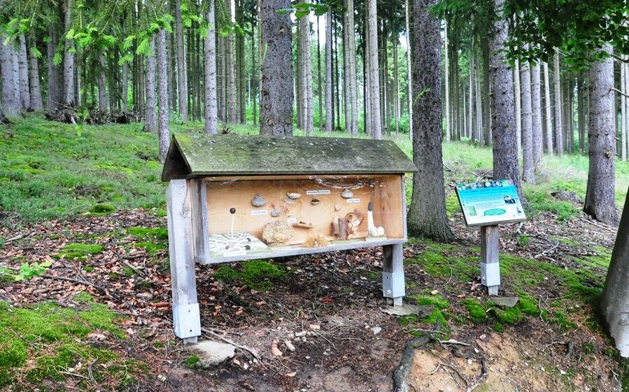
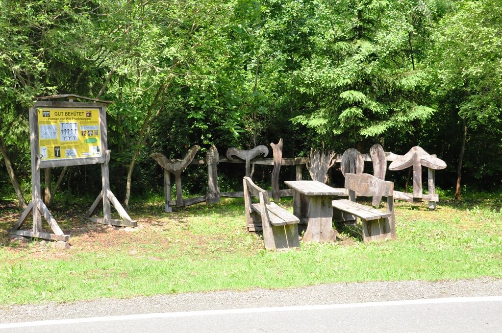
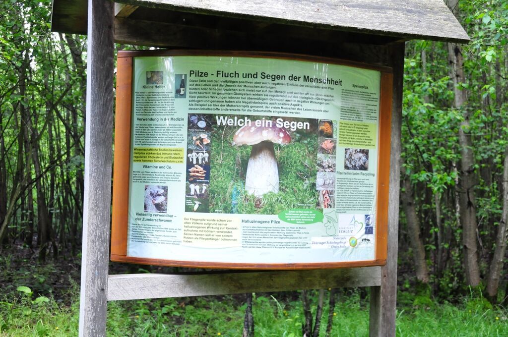
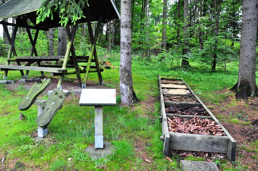
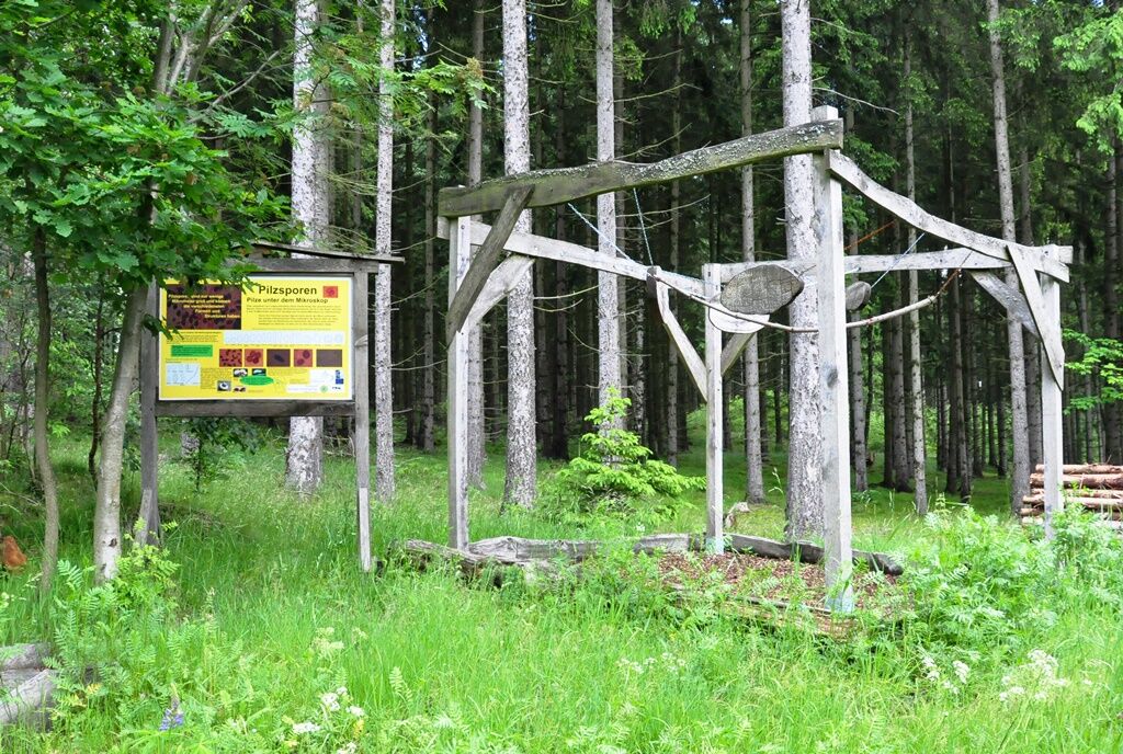
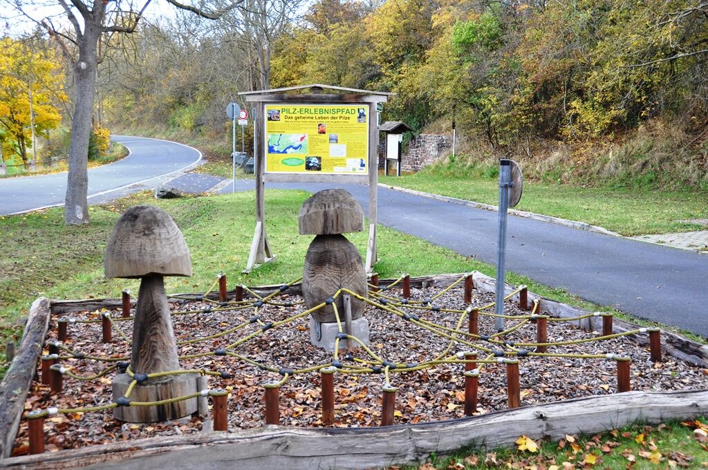
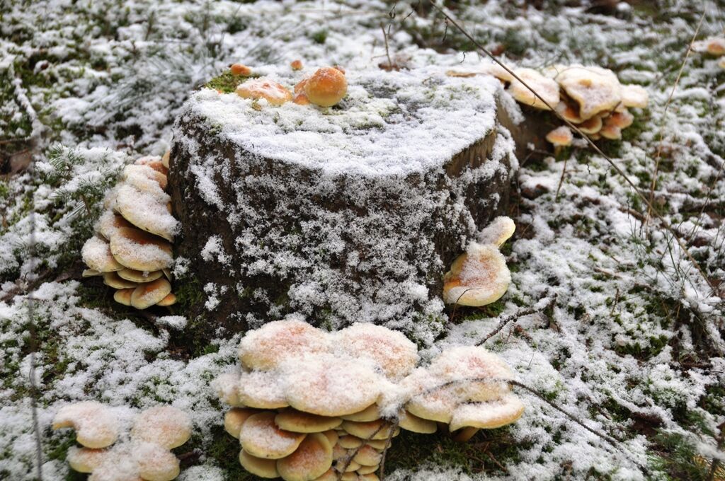
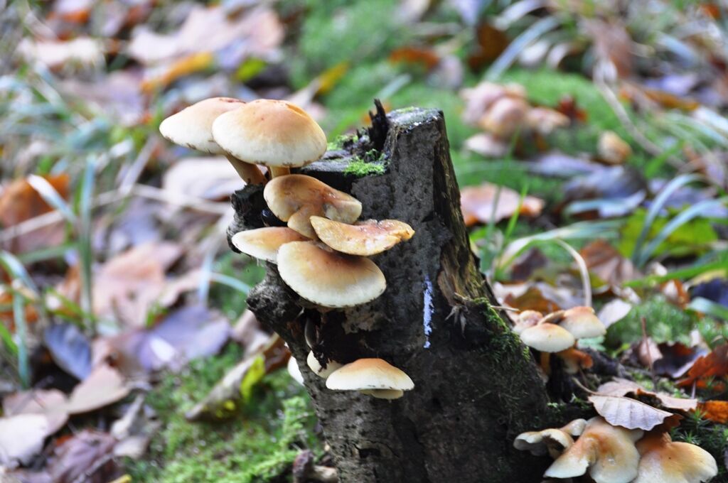


The hike begins at the parking lot at the entrance to Gräfenwarth. Above the parking lot runs a foot and bike path, which you follow westward parallel to the district road K550. After 500m, you leave the footpath, cross the street, and enter the forest path on the left side. After another 100m, the Mariechenweg crosses. Take a short left for a few meters to the forest edge with Station 3, then turn back. You now follow the Mariechenweg, past further stations, the viewpoint "Mariechenblick" with the Touringen stamp station until you finally arrive at the viewpoint "Lower Weather View". At the next fork, take a left and stay on the Mariechenweg until its end. At the "Tree stump with wooden mushrooms," turn left onto the path "Sperrmauer North Shore." After about 200m at Station 7, take the path uphill to the right to the street, cross it, and keep left. Follow the path along the forest edge next to the street to the locality Sperrmauer. Just before the buildings, turn right onto the long-distance hiking trail for a short section. From now on, continue straight ahead to Gräfenwarth. After the barefoot path at the wild meadow and stamp station, the hiking trail runs on a forest road with barriers, which you can easily bypass and are allowed to do so. At the forest edge with the last stamp station, you can already see Gräfenwarth over the open area. Once there, follow the Ruhgasse to the right to the town center with the St. Martin Church and a beautiful pond. Return to your starting point via the reservoir street and go right to the town exit.
Áno
sturdy footwear
rain gear
drink supply
small snack (restaurants not always consistently open!)
GPS navigation device or smartphone
first aid kitThe mushroom educational trail is not consistently suitable for strollers and is also not designated as a bike path.
Please always be aware of dangers from timber felling and storm damage on your hike and observe the typical dangers of the forest. Regularly look above you. Always follow the instructions of the forestry staff.
The use of the hiking trail and the experience places is at your own risk! All liability is rejected!
Due to the risk of slipping, avoid stepping on moss-covered stones, rocks, and roots, and watch out for deadwood, branches, and fallen trees. This is especially true in narrow path areas.
Coming from the A9 motorway, exit 28 (Schleiz). Then continue on the country road L1095 towards Saalburg-Ebersdorf / Bad Lobenstein. Gräfenwarth is the first town you reach directly after a few kilometers.
Gräfenwarth can be reached by bus. Choose the stop "Gräfenwarth Wartehalle" and walk the Stauseestraße to the hiking parking lot 350m west at the town exit.
Bus line 610 Lehesten-Bad Lobenstein-Schleiz and return | Bus line 730 Schleiz-Tanna-Stelzen and return
Tip: With KomBus you can use special offers from the Central Thuringia Transport Association (VMT) or use the travel planning of the German Rail.
Hiking parking lot at the town exit of Gräfenwarth (Google Nav Point)
Parking lot at the bratwurst stand (Google Nav Point)
Dining and supply options:
(not continuously and daily open!)
in and around ...
GräfenwarthGasthof Zur Post in Gräfenwarth (Google Nav Point) Tel.: 03664722828
Hofcafe - Petra Orlamünder in Gräfenwarth (Google Nav Point) Tel.: 03664729159
Bratwurst stand Lutz Heuschkel in Gräfenwarth (Google Nav Point) Tel.: 017663184809
Hotel Piccolo - Marcel Wetzel in Gräfenwarth (Google Nav Point) Tel.: 03664729899
Vacation apartment Orlamünder in Gräfenwarth (Google Nav Point) Tel.: 015112853035
SperrmauerSaaleland Apartments at the Sperrmauer (Google Nav Point) Tel.: 017624238676
Obľúbené výlety v okolí
-
Circular route - Otter Bay and Devil's Pulpit - Ziegenrück
strednáTuristika 16,8 km -
5,0
Circular hiking trail for children - "1000-Ponds-Circular Route"
strednáTuristika 8,25 km -
5,0
Hohenwarte Reservoir Way - Section 2 - Camping Wilhelmsdorf Portenschmiede → Ziegenrück
ťažkéTuristika 18,2 km -
4,0
Von Ziegenrück zur Fernsicht
strednáTuristika 5,50 km -
5,0
Von Dreba zum Plothener Hausteich
svetloTuristika 7,68 km -
Rund um Schloss Burgk
svetloTuristika 7,04 km -
5,0
Saalepfad - Circular hike at the Green Belt
ťažkéTuristika 34,8 km -
5,0
Circular route - Schönblickweg - Harra
strednáTuristika 7,80 km -
5,0
Circular hiking trail - Saale, Wisenta Valley and Plothengrund - Ziegenrück
strednáTuristika 20,6 km -
Roßkunst Geopath - Harra
strednáTuristika 6,23 km
Turistika a stopovanie


Nenechajte si ujsť ponuky a inšpiráciu na ďalšiu dovolenku
Vaša e-mailová adresa bol pridaný do poštového zoznamu.





