






Circular hike - "Flößgraben - Suhler Ausspanne" - Oberhof
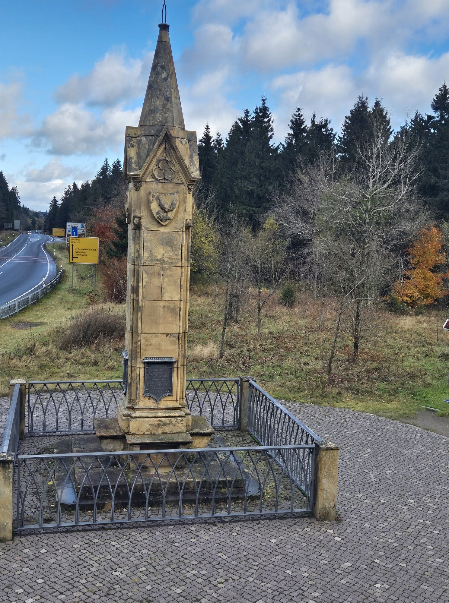
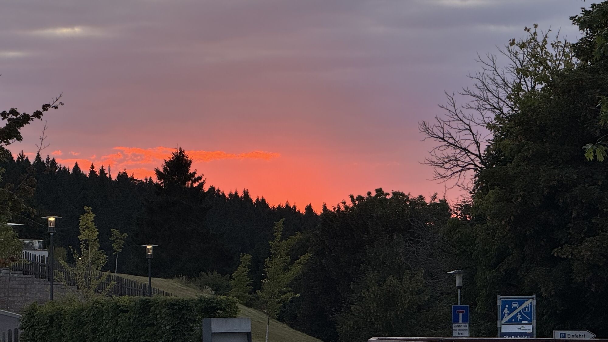

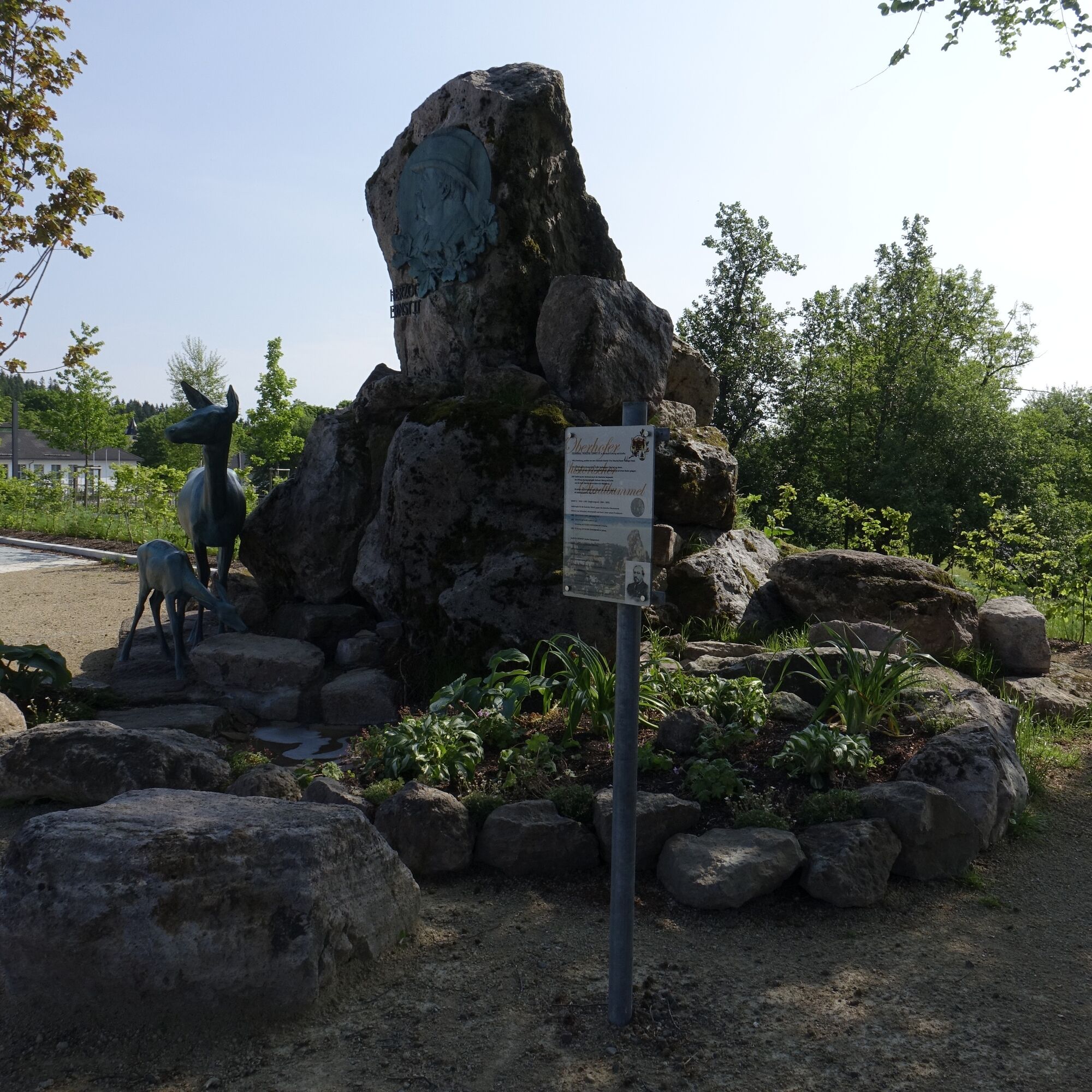
Starting from your starting point, the Oberhof Information, the route leads towards the Rondell. A distinctive feature here is the obelisk that was erected during the construction of the new road. From...
Starting from your starting point, the Oberhof Information, the route leads towards the Rondell. A distinctive feature here is the obelisk that was erected during the construction of the new road. From here, wonderful hiking kilometers through the Thuringian Forest follow. A route that is neither too easy nor too strenuous. Take occasional breaks to enjoy the view.
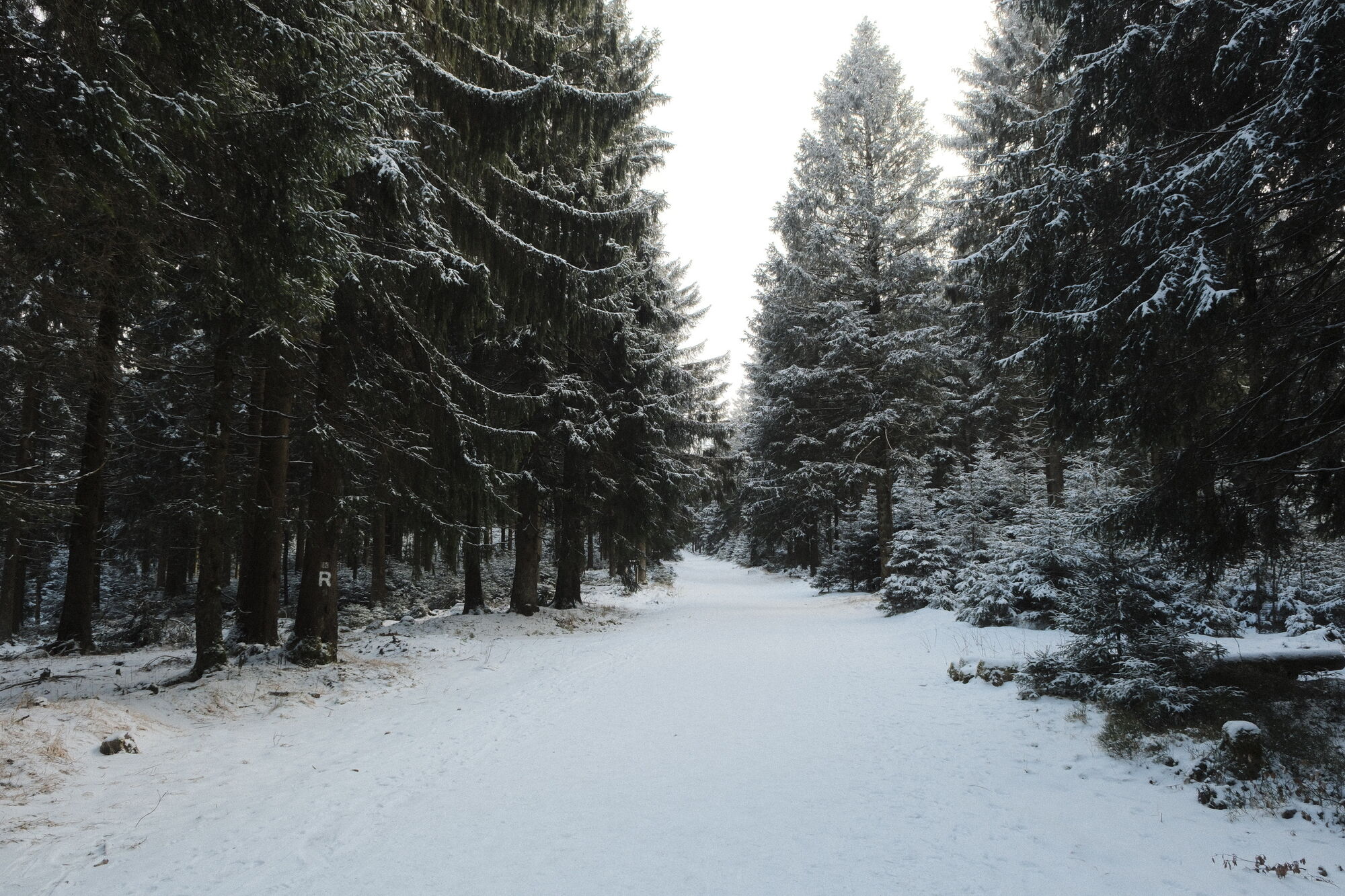
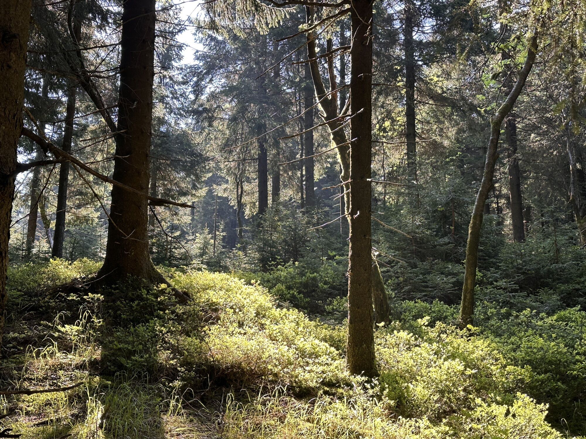
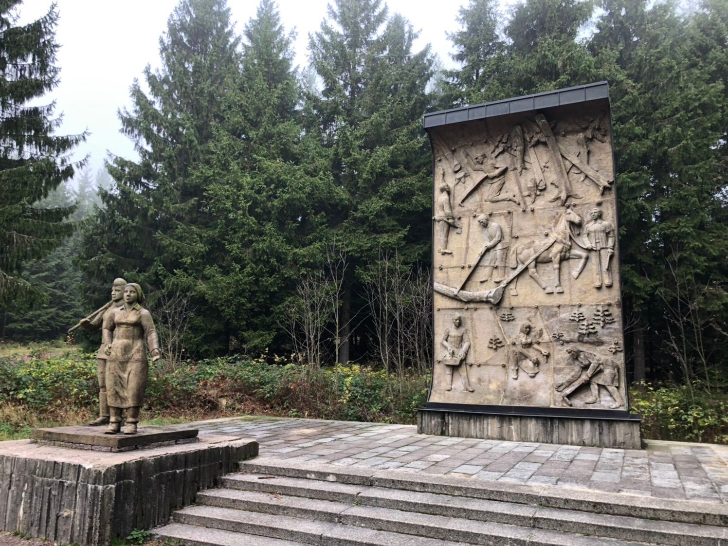
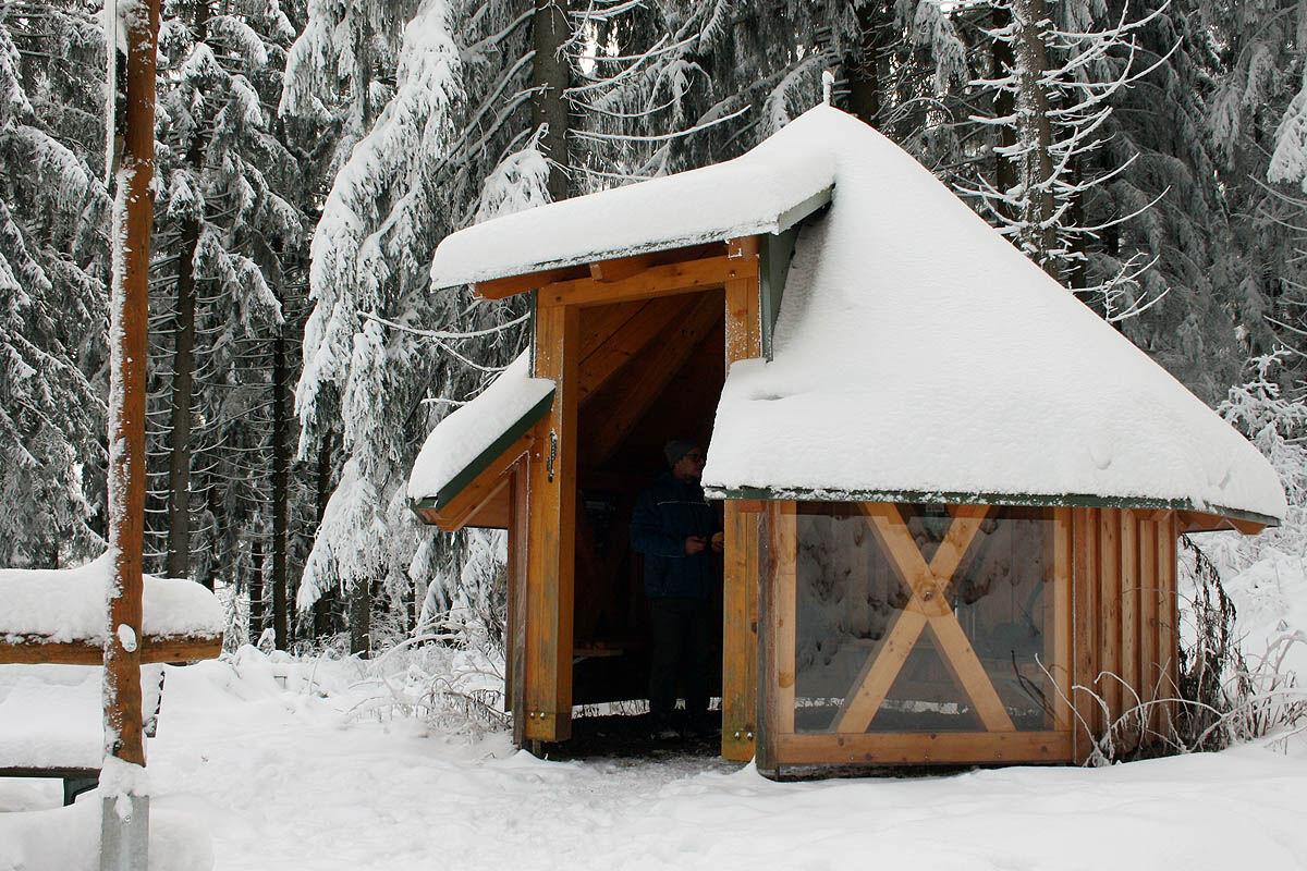
The hiking loop is varied and touches several notable paths in the region around Oberhof. The Flößgraben, where in old times tree trunks were floated down to the valley, the Beerbergweg, and last but not least the Rennsteig - always complemented by peaceful resting places. That is the hiker's delight. A stop at the Rennsteiggarten should definitely be planned (open from May to October). A gem of floral rarities from all over the world, with wonderful views. The path is well developed, partly generous, partly natural. Just let the forest take effect and slow down.



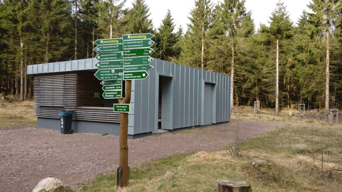
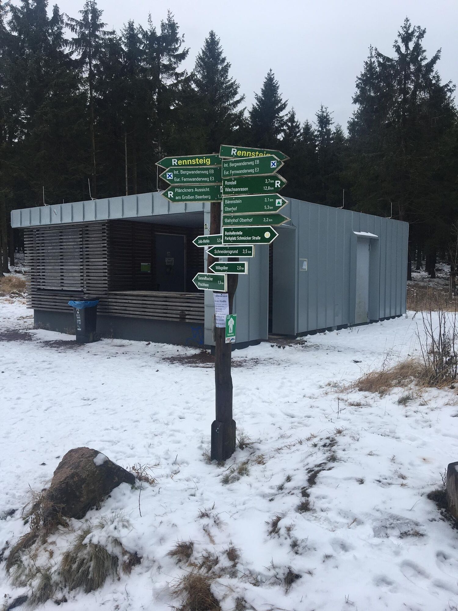
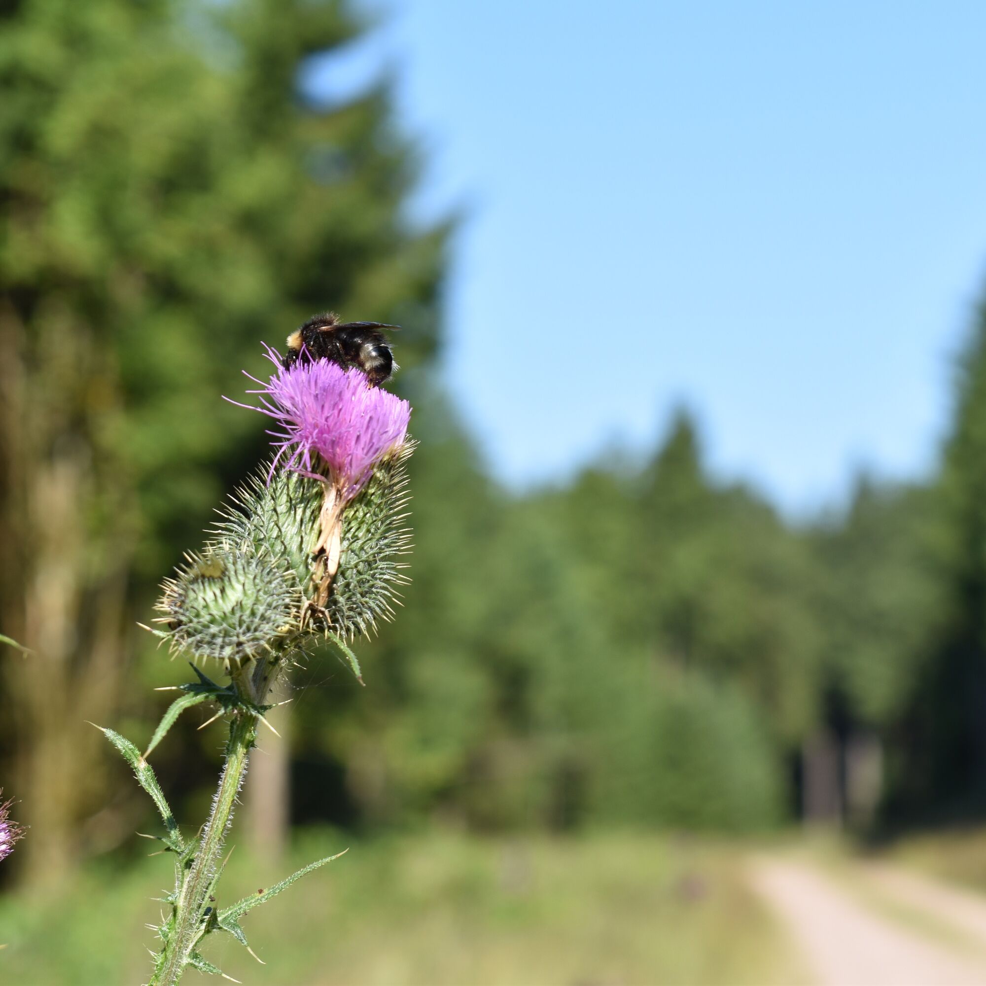
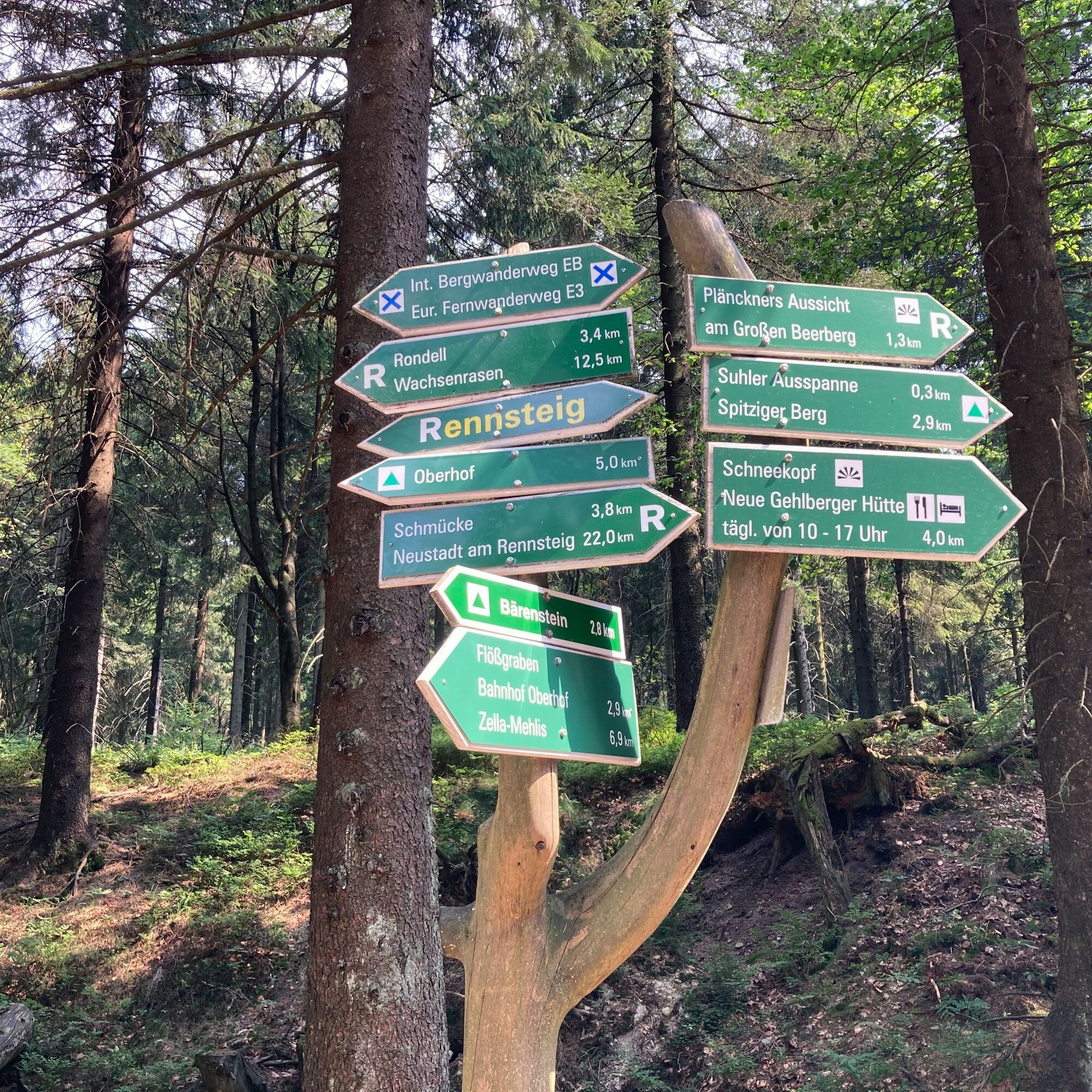
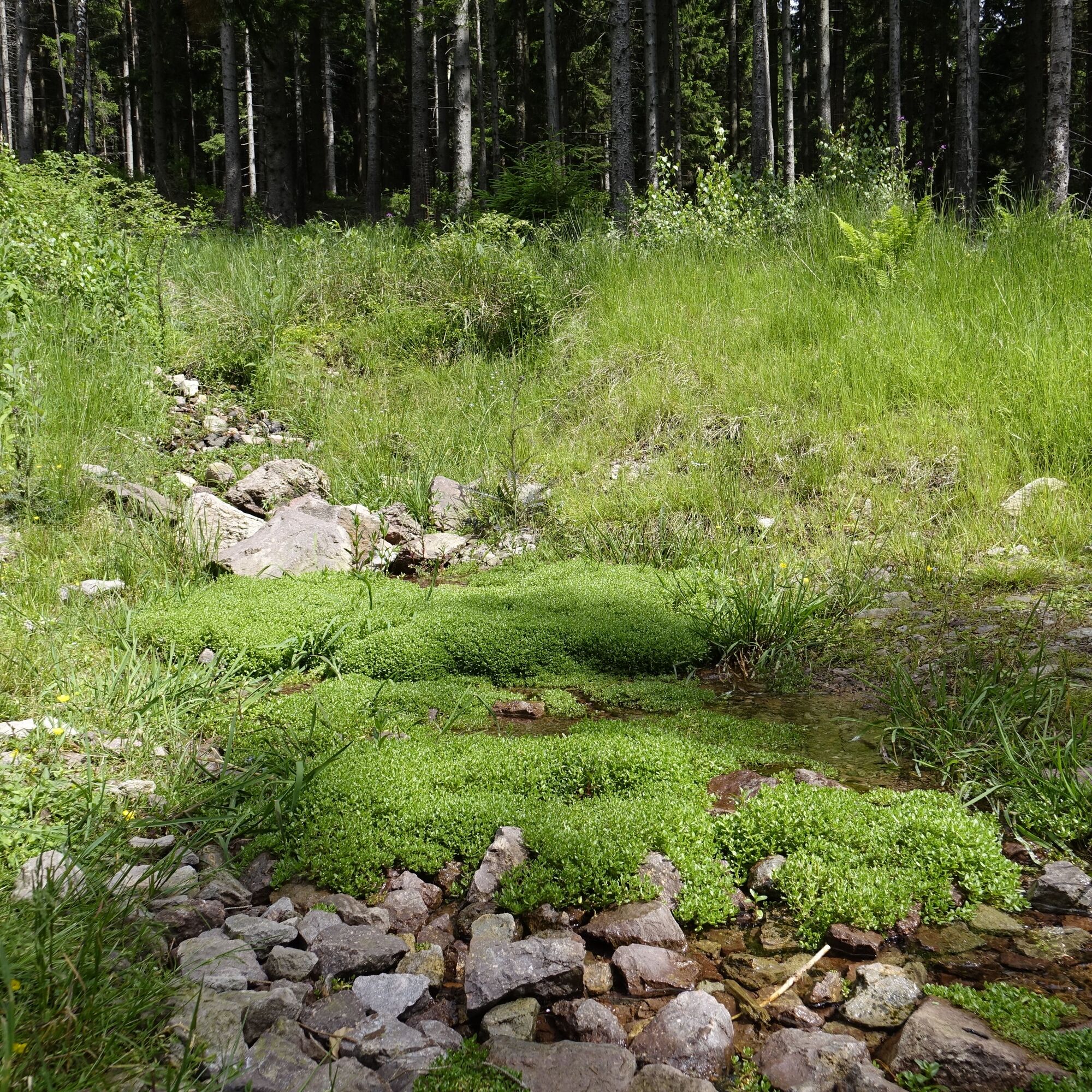

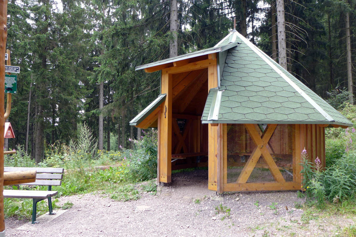

Oberhof Information - Zellaer Straße - Rondell (Rennsteiggarten) - Bärenstein - Flößgraben - Suhler Ausspanne - Parking Suhler Ausspanne - Beerbergweg - Rennsteig - Rondell - Zellaer Straße - Oberhof Information
Áno
Sturdy hiking shoes, rain or sun protection, and enough provisions.
Sturdy footwear is recommended. Caution after storms, risk of broken branches.
From the A71, take exit 18 (Oberhof) and continue on the L3247 towards Oberhof. From the country road, at the first opportunity, turn right to Oberhof (center).
You can reach Oberhof from the direction of Zella-Mehlis. From there, take bus line 422 to the Oberhof bus station. Simply use the travel information of the German Railway for travel planning at this link:
→ Arrival in Oberhof, Bus station (please enter your starting point and the desired travel period in the following form)
Parking lot at the spa park, in the Gründle (free of charge), or at the Oberen Hof (paid)
Attention: No refreshment options on the way.
Further information:
Tourist Information Oberhof
Crawinkler Straße 29
8559 Oberhof
www.oberhof.de
From the end of April to October, a stop at the Rennsteiggarten Oberhof is worthwhile. Wonderful views, enchanting plants, and a piece of homemade cake.
Získajte prehľad
Vždy naživo na mieste s viac ako 9 500 webovými kamerami. bergfex Ako používateľ Pro si teraz môžete pozrieť príslušné webové kamery pre mnohé zájazdy v aplikácii zájazdy z. Môžete si tak priamo prezerať aktuálne podmienky.
Obľúbené výlety v okolí
-
4,3
Rund um die Ohratalsperre
svetloTuristika 14,5 km -
4,4
Circular hike "Old Tambach Dam", Tambach-D., Thuringian Forest
strednáTuristika 8,33 km -
4,8
Circular hike - Schmalwasser reservoir - Tambach-Dietharz - Thuringian Forest
strednáTuristika 13,8 km -
4,6
Hike over the Rennsteig & the Schneekopf to the Schmücke
ťažkéTuristika 20,9 km -
4,0
Circular hiking route "Oberschönauer Felsenwanderung" - Steinbach-Hallenberg - Thuringian Forest
ťažkéTuristika 12,0 km -
The Rennsteig - long-distance hiking trail from Hörschel to Blankenstein - Thuringian Forest
ťažkédiaľková pešia trasa 169,0 km -
4,0
Zu den Schanzen im Kanzlersgrund
strednáTuristika 9,58 km -
4,7
Circular hike to Lütschetalsperre
strednáTuristika 13,0 km -
4,0
TOP 5 - circular hiking route - "Forsthaus Sattelbach" - Oberhof
svetloTuristika 3,67 km -
Circular hiking route - Ruppberg - Thuringian Forest
strednáTuristika 11,4 km
Turistika a stopovanie


Nenechajte si ujsť ponuky a inšpiráciu na ďalšiu dovolenku
Vaša e-mailová adresa bol pridaný do poštového zoznamu.





