







Hohenwarte Reservoir path - Stage 4 - Drognitz → Lothramühle
Úroveň náročnosti: T2
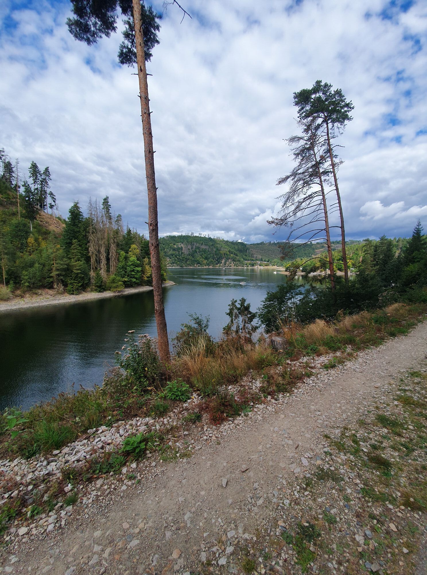
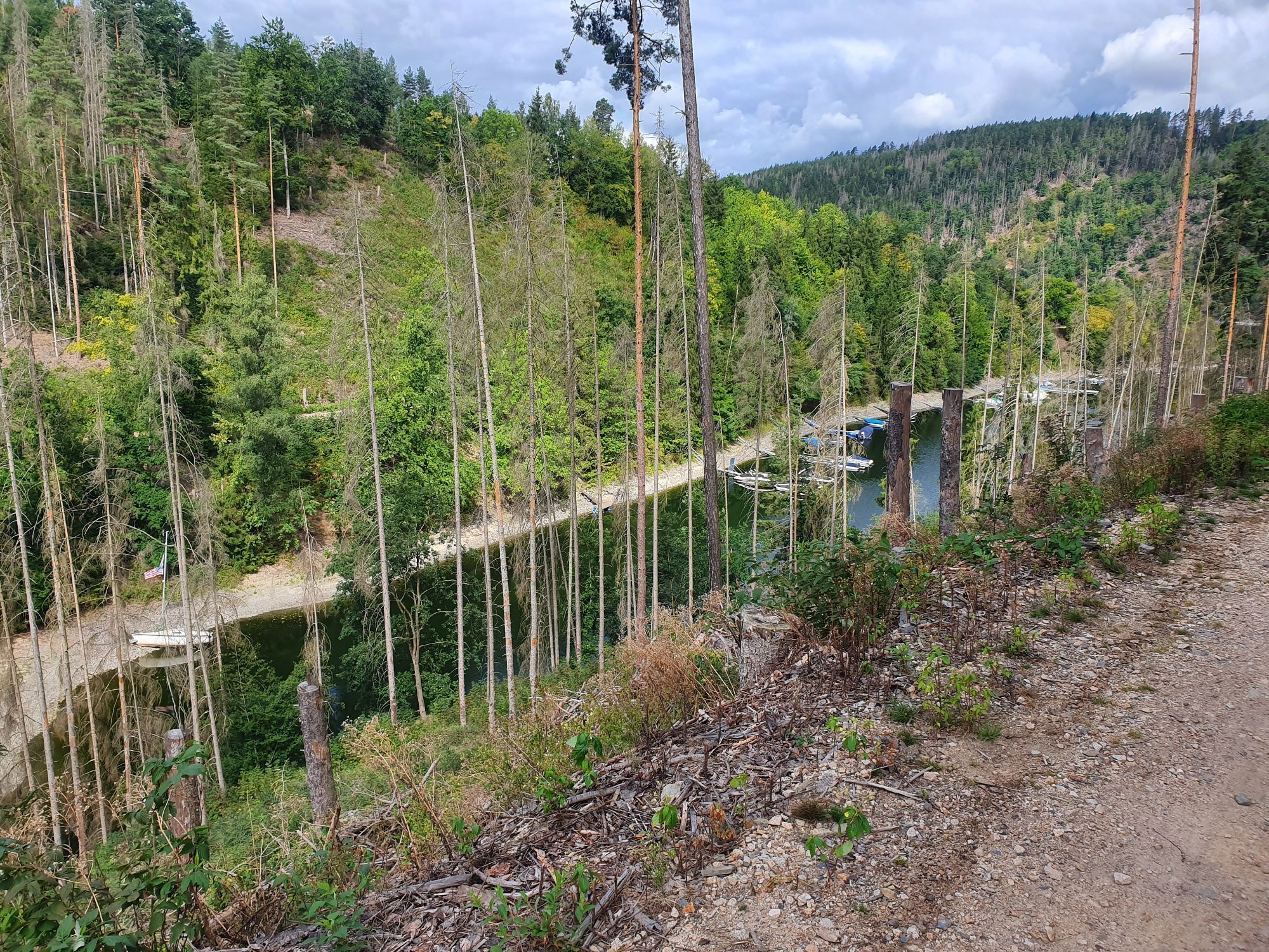
Stage 4: Drognitz to Lothramühle
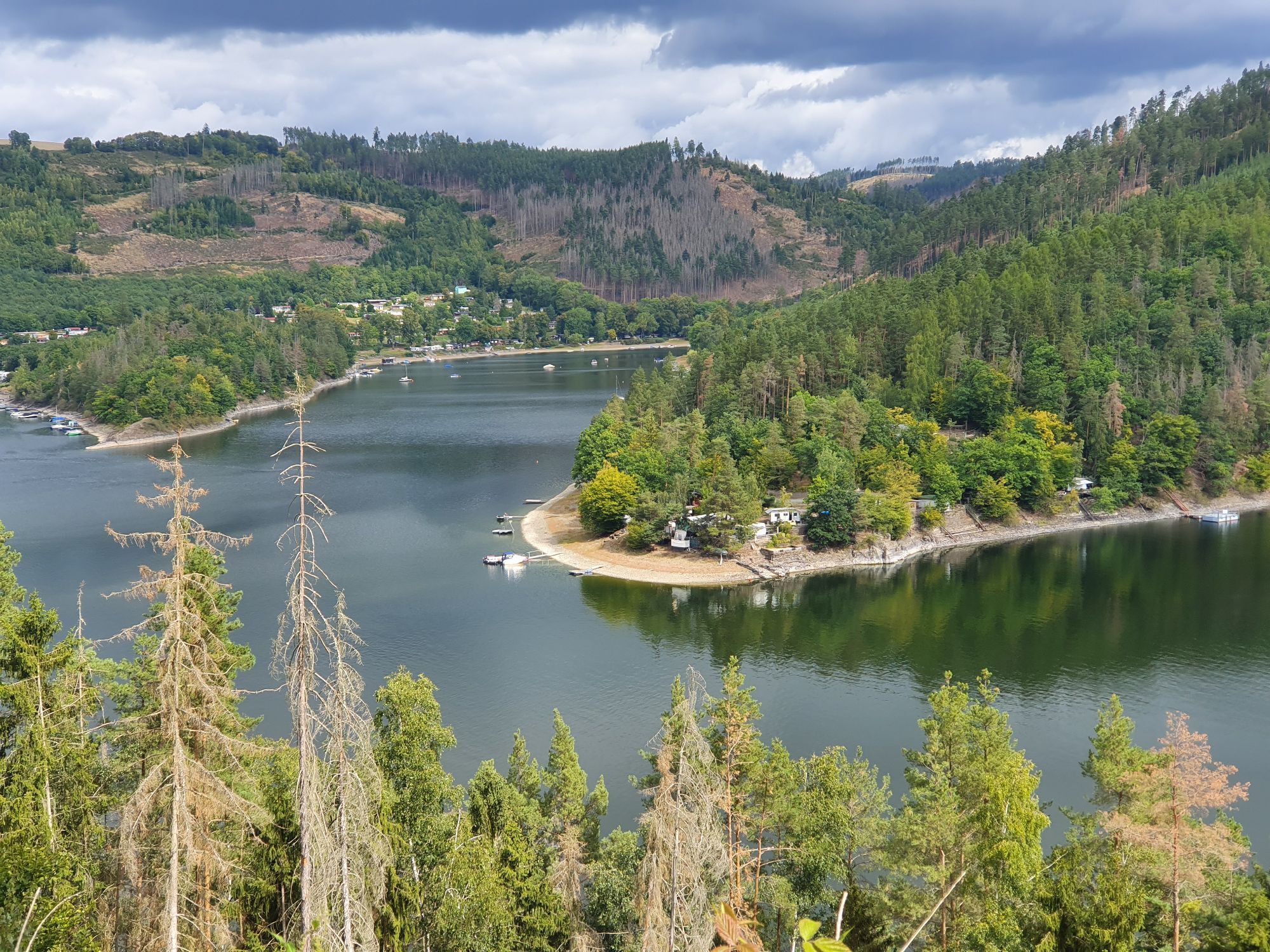
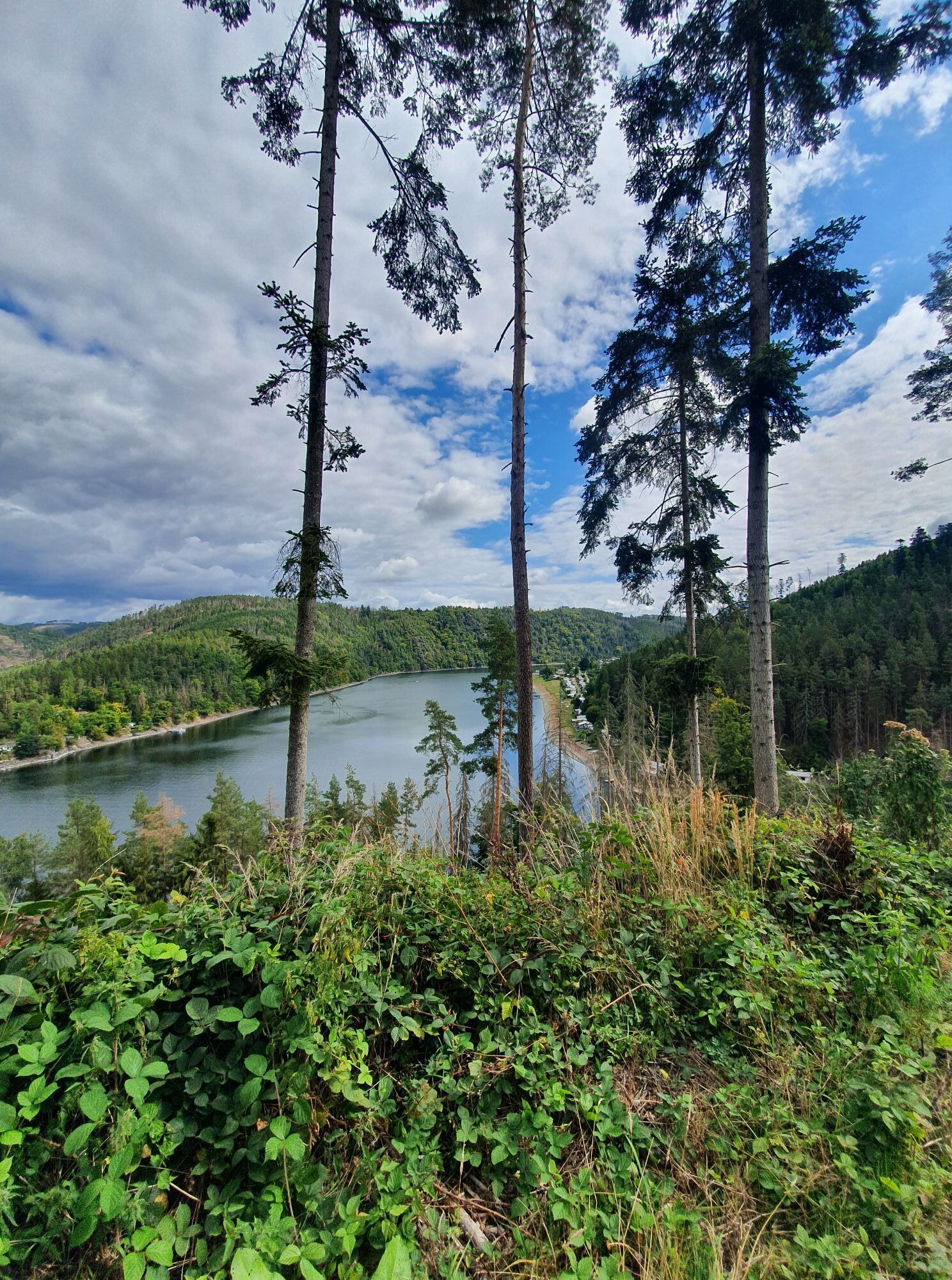
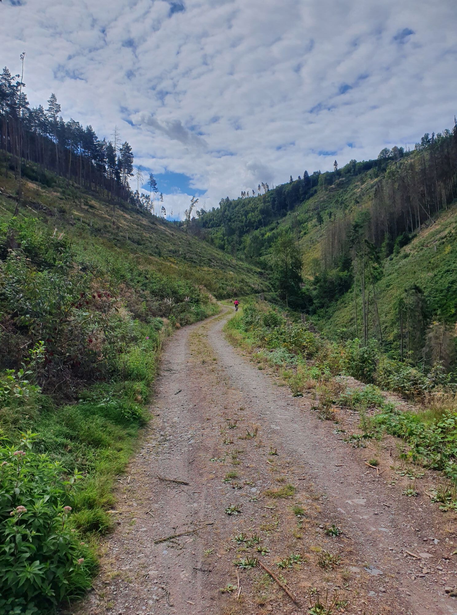
The fourth stage leads you from Drognitz to Lothramühle. The rustic path first guides you through a natural valley along the Meseritz creek down to the Saale riverbank....
Stage 4: Drognitz to Lothramühle
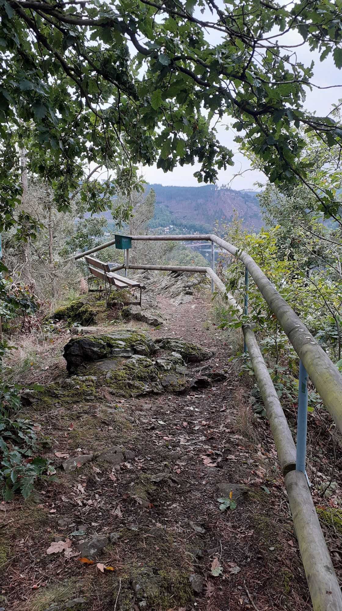
The fourth stage leads you from Drognitz to Lothramühle. The rustic path first guides you through a natural valley along the Meseritz creek down to the Saale riverbank. Continuing past the Hopfenmühle campsite, you reach the Hermannsfelsen viewpoint. Here you have a wonderful opportunity to rest and pause. In Neidenberga, at the southern village entrance under an old linden tree, you find three stone crosses probably dating from 1190 and telling a legend. From there, the scenic path continues to the stage destination. At the local restaurant Sommerfrische Lothramühle, you can enjoy the well-known Thuringian cuisine. After finishing the stage at Lothramühle, a detour to Reizengeschwenda with its folklore museum and baroque village church is worthwhile.

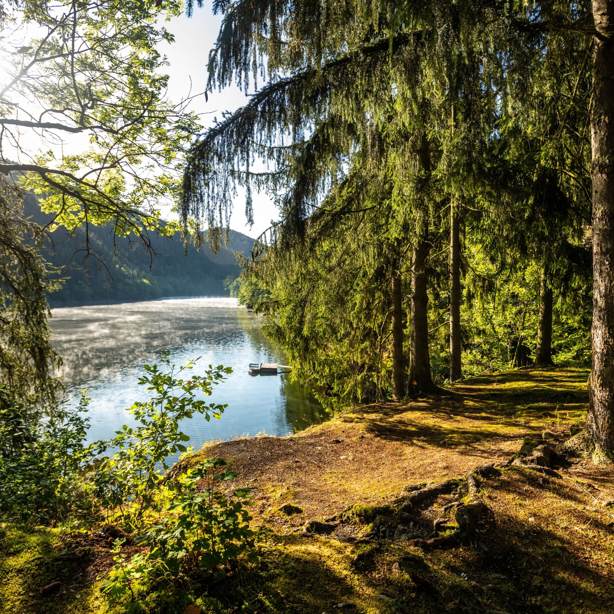
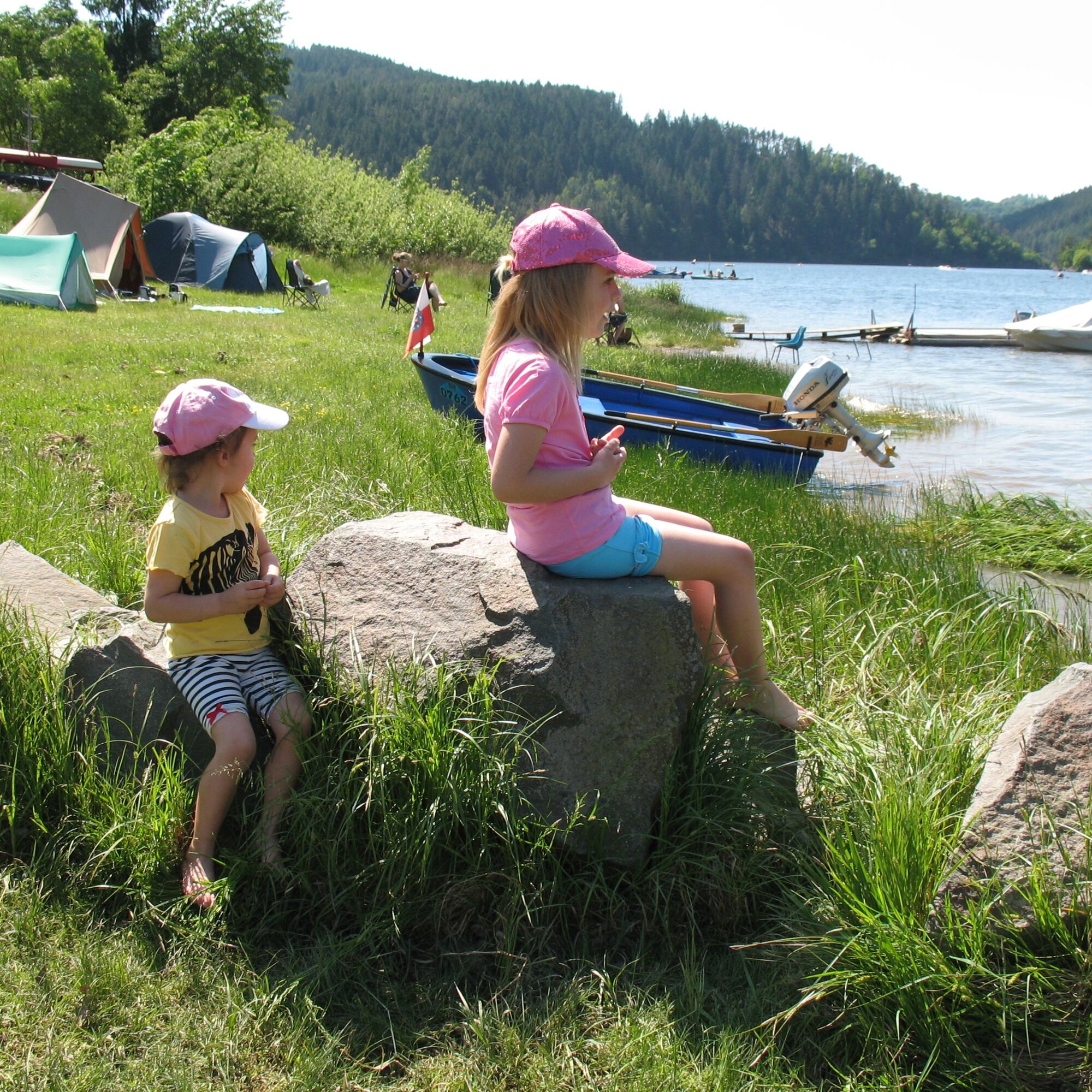


Drognitz - Thuringian Forest Campsite - Hopfenmühle Campsite - Hermannsfelsen - Neidenberga - Schäferwiese Campsite - Zauchenwiese - Lothramühle
Áno
Sturdy footwear
Drink reserve
First aid kit
GPS navigation device or smartphone
Be aware of the typical forest dangers!
Hiking is at your own risk!
We wish you a relaxing and eventful hike!
Coming from the A9, take exit 26 (Triptis) and continue on the B281 heading west towards Neustadt an der Orla. Follow the federal road further over Pößneck towards Saalfeld. Leave the B281 at Unterwellenborn (Thuringian Steelworks) southbound towards Großkamsdorf / Goßwitz / Bucha. In Bucha, continue south on the L2384 to the Hohenwarte dam.
You can conveniently reach Hohenwarte with KomBus line 546 from Saalfeld (connection to Deutsche Bahn). Line bundle 5 offers coordinated connections providing public transport coverage around the entire reservoir.
To search connections for Drognitz simply use the Deutsche Bahn travel portal.
To search connections for Lothramühle simply use the Deutsche Bahn travel portal.
Tip: Use the special offers from Verkehrsverbund Mittelthüringen (VMT).
In Drognitz there are parking options within the village on the main street near the bus stop. (Google NAV point)
Parking lot at Lothramühle. The KomBus GmbH bus stop is also located here. (Google NAV point)
T2
Hermannsfelsen viewpoint

Obľúbené výlety v okolí
-
4,9
Circular hiking trail - H5 "The Water Route" - Thuringian Forest
strednáTuristika 6,58 km -
Circular route - Otter Bay and Devil's Pulpit - Ziegenrück
strednáTuristika 16,8 km -
4,7
Circular hiking route - H3 "The Bird's Eye View" - Thuringian Forest
strednáTuristika 8,78 km -
4,5
Von Ziegenrück zur Fernsicht
strednáTuristika 5,50 km -
5,0
Hohenwarte Reservoir Way - Section 2 - Camping Wilhelmsdorf Portenschmiede → Ziegenrück
ťažkéTuristika 18,2 km -
4,0
Circular route - "Wichtelweg" - Wilhelmsdorf
svetloTematická trasa 2 km -
5,0
Urwaldpfad Leutenberg - Thuringian Urwaldpfade
strednáTuristika 6,82 km -
4,0
Hohenwarte Reservoir Trail - Stage 3 - Ziegenrück → Drognitz
ťažkéTuristika 14,1 km -
4,0
Circular hike - "Round route 3" - start and finish country hotel Edelhof Kolkwitz - Thuringia
strednáTuristika 9,42 km -
5,0
Circular hiking trail - Saale, Wisenta Valley and Plothengrund - Ziegenrück
strednáTuristika 20,6 km
Turistika a stopovanie


Nenechajte si ujsť ponuky a inšpiráciu na ďalšiu dovolenku
Vaša e-mailová adresa bol pridaný do poštového zoznamu.





