







Ludwig Häfner Trail
Ludwig Häfner (1935 - 2014) was a master carpenter by profession but also worked enthusiastically as an archivist and local historian. Many buildings and projects in Bad Berka bear his signature: for example,...
Ludwig Häfner (1935 - 2014) was a master carpenter by profession but also worked enthusiastically as an archivist and local historian. Many buildings and projects in Bad Berka bear his signature: for example, the city archive, where after 1990 he was able to turn his hobby into a profession, or the Paulinen Tower, which he saved from collapse in 1982 by founding an interest group, organizing building materials, climbers, and technology, and dedicating countless hours to preserving Bad Berka's landmark. After 1990, he awakened Schlossberg from its slumber and established circular hiking trails around Bad Berka. It was important to him in all of this to make Bad Berka's advantages accessible again: the beautiful forested surroundings, the interesting history, and the many often unnoticed or forgotten sights around the spa town. The route connects several places and projects that Ludwig Häfner always held dear.
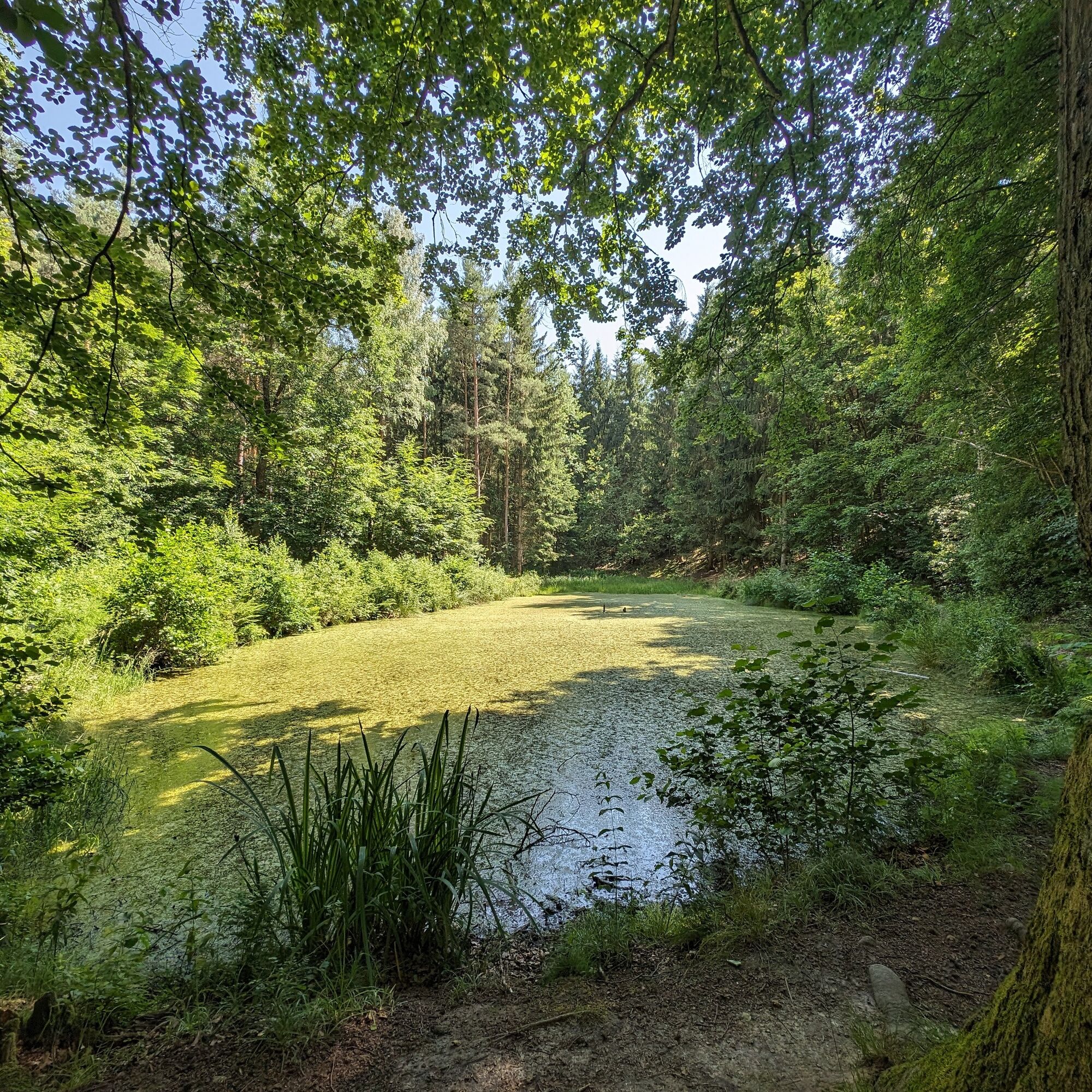
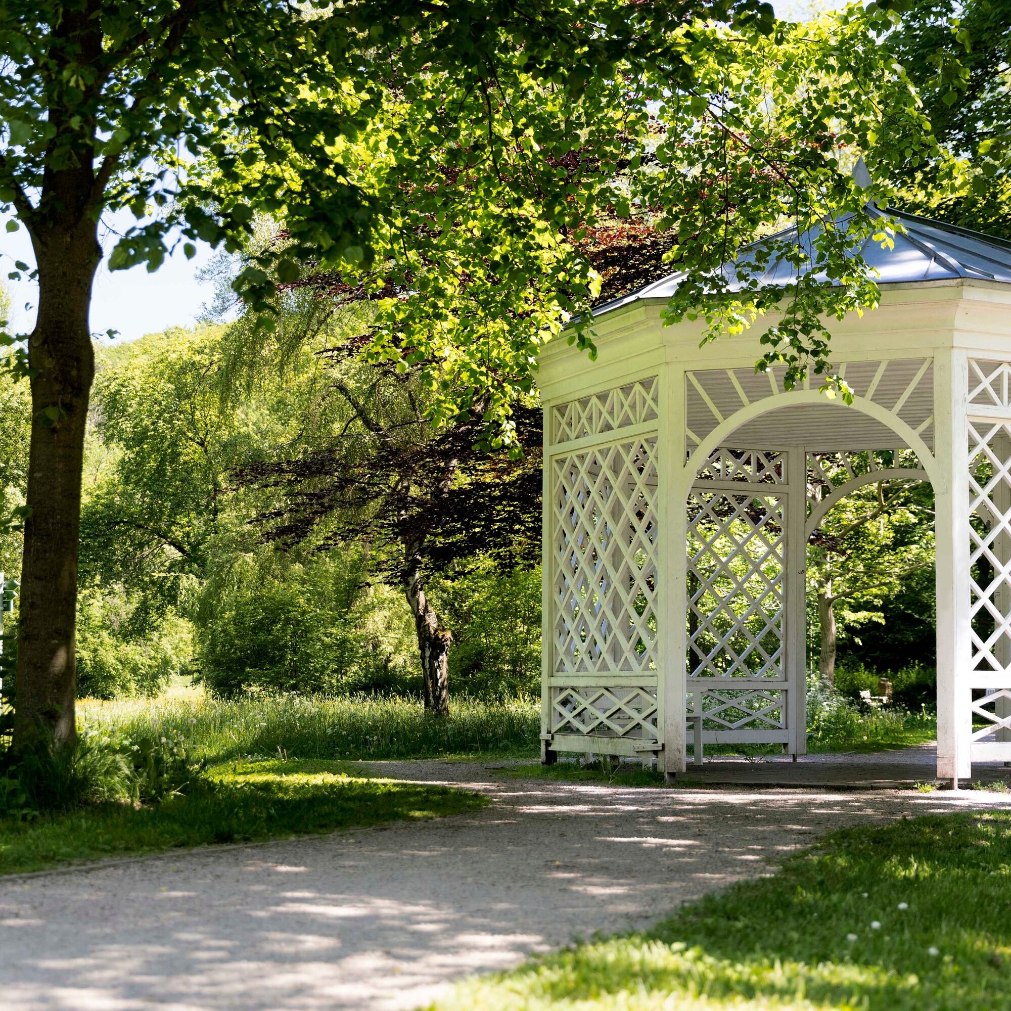
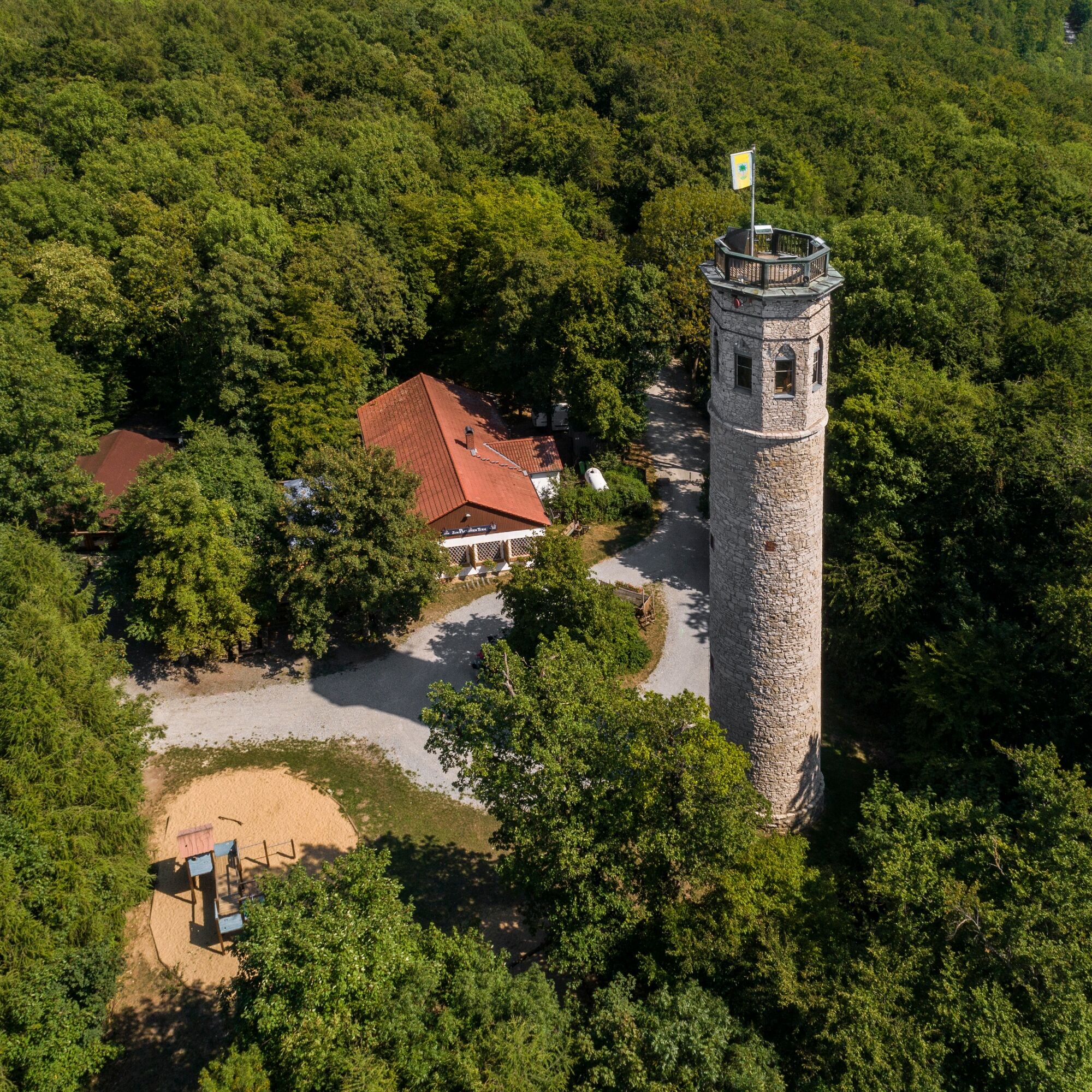
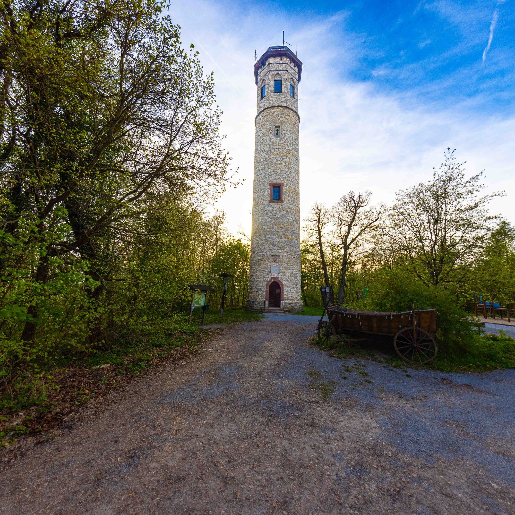
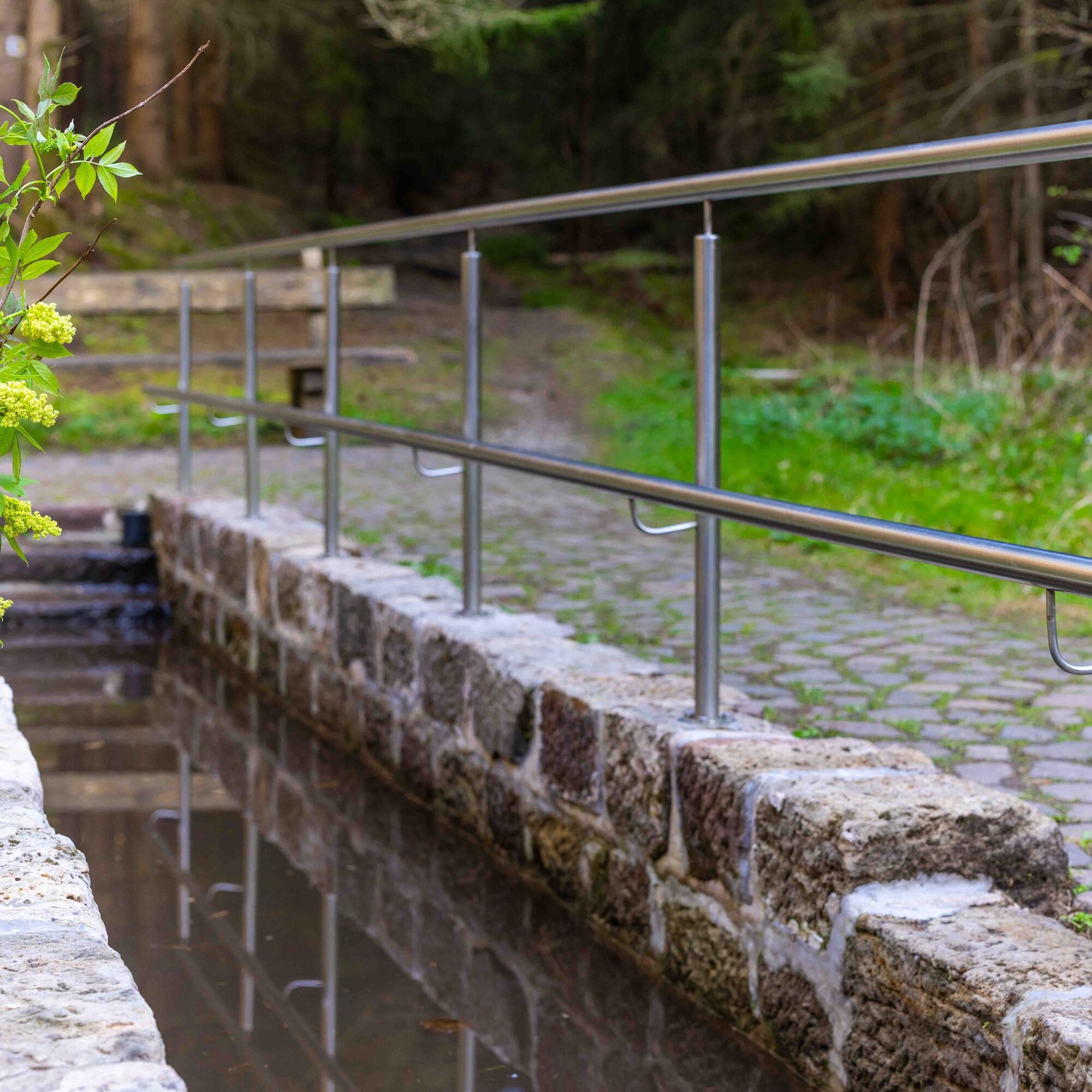
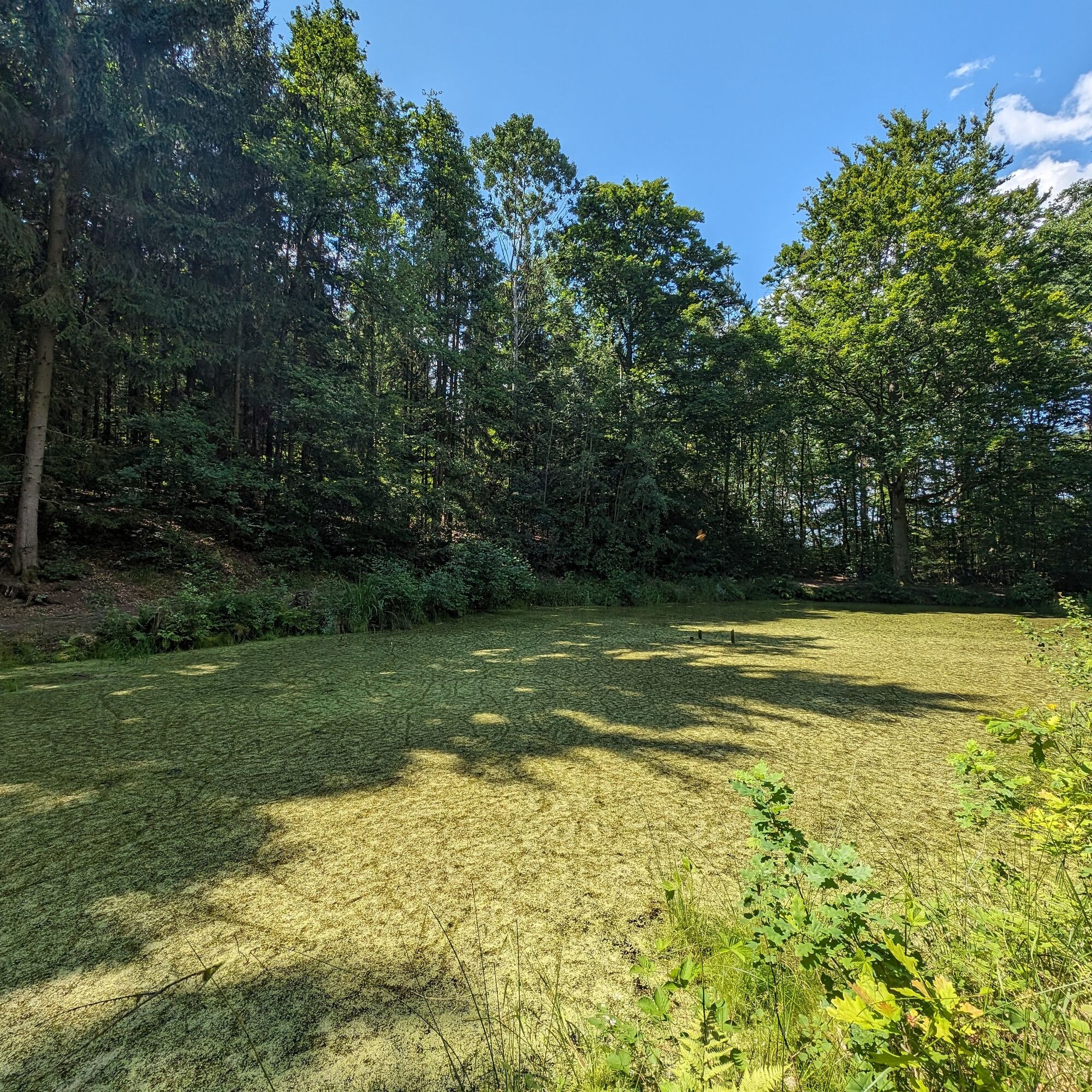
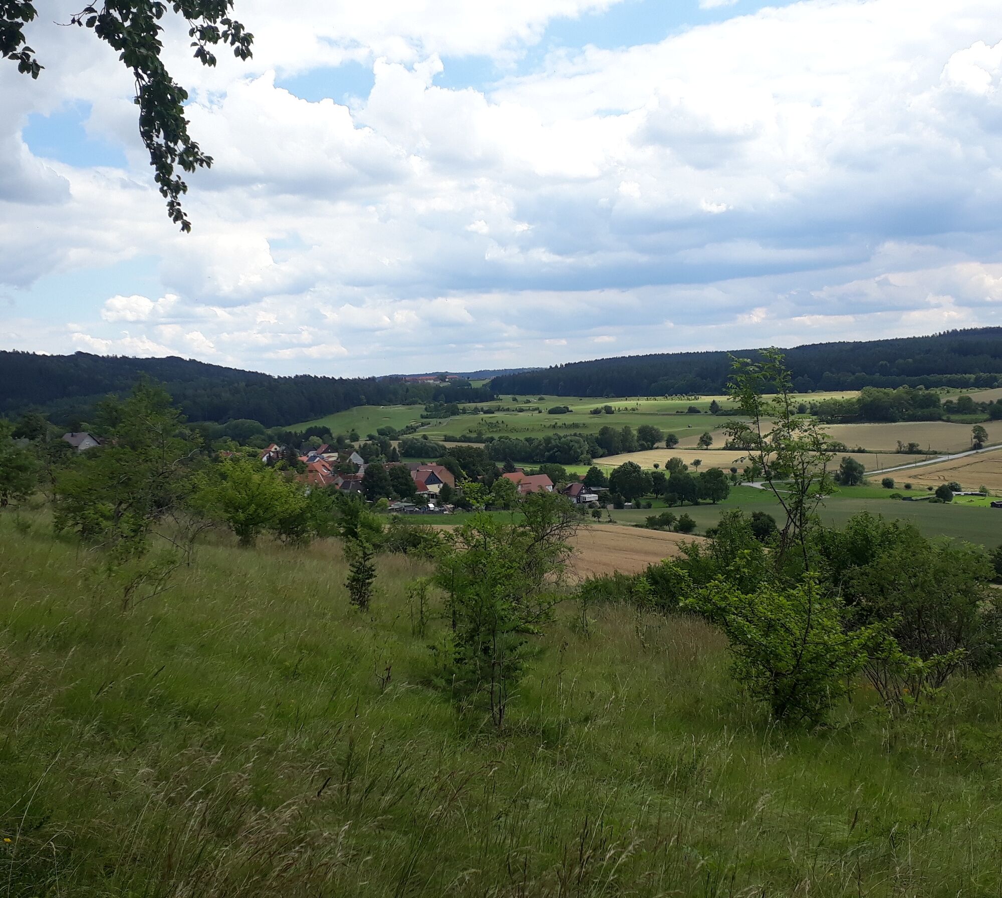

From Goethe Fountain we walk the Goetheallee through the spa park, then turn right towards the Engagement Temple and at the end of the spa park cross Park Street to take the ascent left of the Coudray House to the Paulinen Hut. We take the road uphill to the Paulinen Tower and after 200 m turn left into the forest. Steeply uphill we reach the ridge of Adelsberg, which we also cross along with the Paulinen Tower and Paulinen Tower hut. After 100 m the path turns right and goes downhill to Walpertal Street. Here we turn right and shortly before the Walpertal Hut turn left again. After about 200 m the path branches right from the forest road and we follow this path parallel to the forest edge in the direction of Saalborn. At the end the path turns into a trail and we reach another forest road. We turn right onto this one. The path now leads downhill and at the barrier we turn right onto the Goethe hiking trail to Saalborn. We cross Saalborn from north to south and follow the road to the B 85. We cross it and follow the path parallel to the federal road until the entrance to Dammbachsgrund. At the parking lot we turn right and follow the forest road. After about 500 m we turn right onto a path that runs parallel to the main path. From here we also follow the Kneipp circular trail. We follow a forest road and after a while turn left into the forest. We follow the path past the Gottesbrünnlein spring and the Kneipp pool. At Hertha Lake we reach the former Bad Berka - Blankenhain railway line. We turn left and follow the road past the outdoor pool to Trebestrasse. Here we turn right and after crossing the federal road at the pedestrian traffic light we reach the starting point.
Sturdy footwear
From the direction of Weimar or Rudolstadt (B 85), turn right or left at the Ilmenau junction into the city center and follow the signs to the parking lot.
From Ilmenau heading to Weimar/Rudolstadt, drive straight into the city center at the junction and follow the signs to the parking lot.
Arrival by bus and train possible. Starting point is reachable on foot.
City center parking lot (well signposted on directional signs in town); free parking as well as caravan parking space; from there about 400 m walk to the tourist information.
Obľúbené výlety v okolí
-
4,5
Kneipp circular route Bad Berka
strednáTematická trasa 8,96 km -
5,0
Thuringian Three Towers Trail
strednáTuristika 25,3 km -
Hexenberg circular route
svetloTuristika 6,79 km -
4,0
Ludwig-Geist-Path
svetloTuristika 5,13 km -
Circular hike - "Blossom Magic" Großkochberg Saale-Ilmplatte - Großkochberg
strednáTuristika 6,30 km -
Megamarsch Erfurt 2022
ťažkéTuristika 50,6 km -
Adventure Trail Schlossberg
svetloTematická trasa 2,50 km -
Nature Experience Trail "Bad Berka - Blankenhain"
strednáTematická trasa 7,70 km -
Kohlgrund Route
strednáNordic Walking 15,9 km -
Professor Tegtmeier Path
svetloTuristika 4,90 km
Turistika a stopovanie


Nenechajte si ujsť ponuky a inšpiráciu na ďalšiu dovolenku
Vaša e-mailová adresa bol pridaný do poštového zoznamu.





