







Thuringian Three Towers Trail

The Thuringian Three Towers Trail offers an appealing combination of nature, culture, spirit, and Thuringian tradition. On its route between the three towers, hikers experience a constant change between...
The Thuringian Three Towers Trail offers an appealing combination of nature, culture, spirit, and Thuringian tradition. On its route between the three towers, hikers experience a constant change between deciduous and mixed forests as well as open landscapes with constantly new surprising views. While the villages emphasize Thuringian hospitality and craftsmanship tradition, the larger towns of Bad Berka, Blankenhain, or Weimar offer a rich variety of leisure activities and cultural highlights.
New: Audioguide app for Thuringian Three Towers Trail (Apple Store, Google Play Store), also available in easy language!
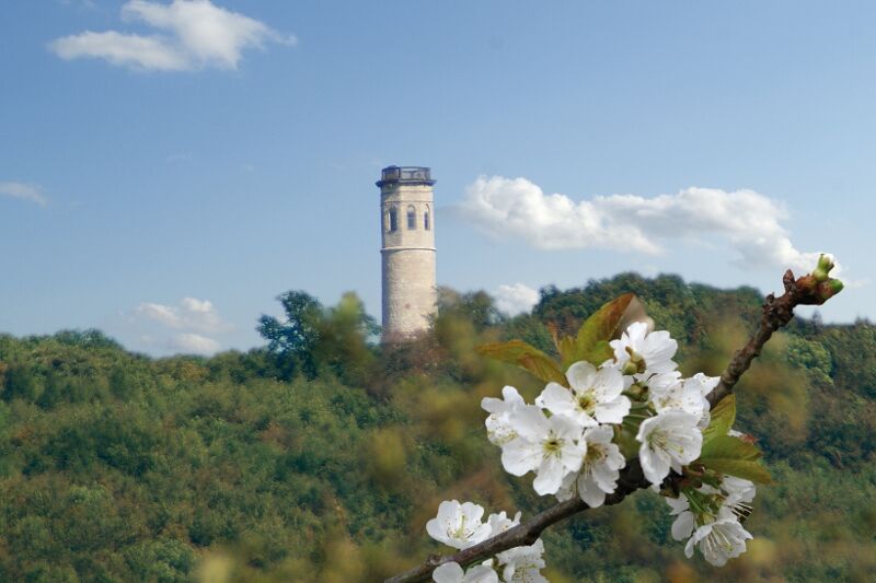
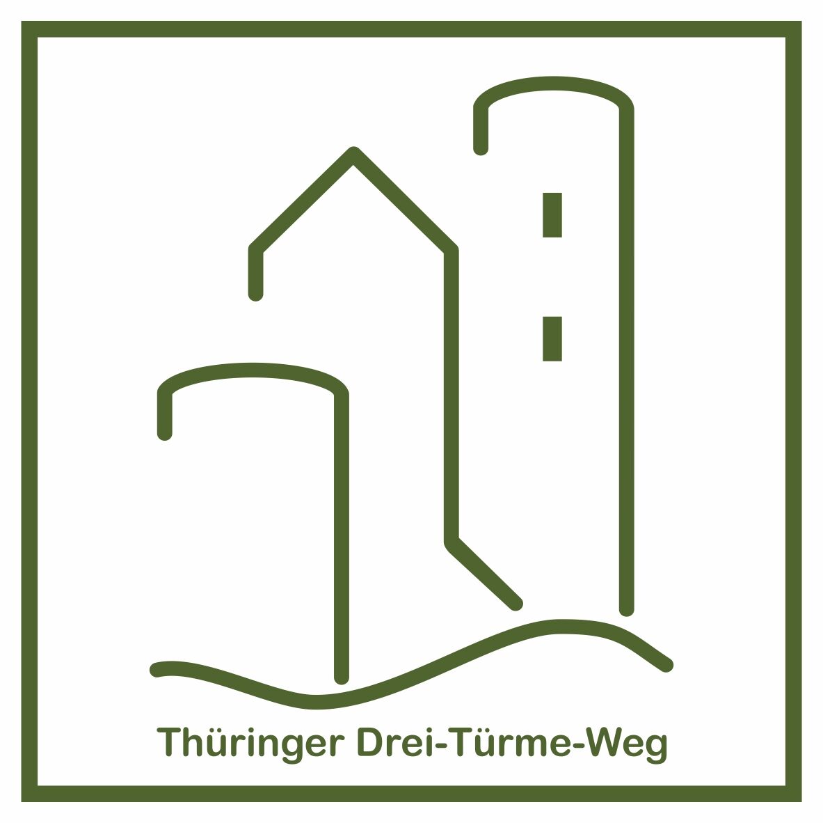
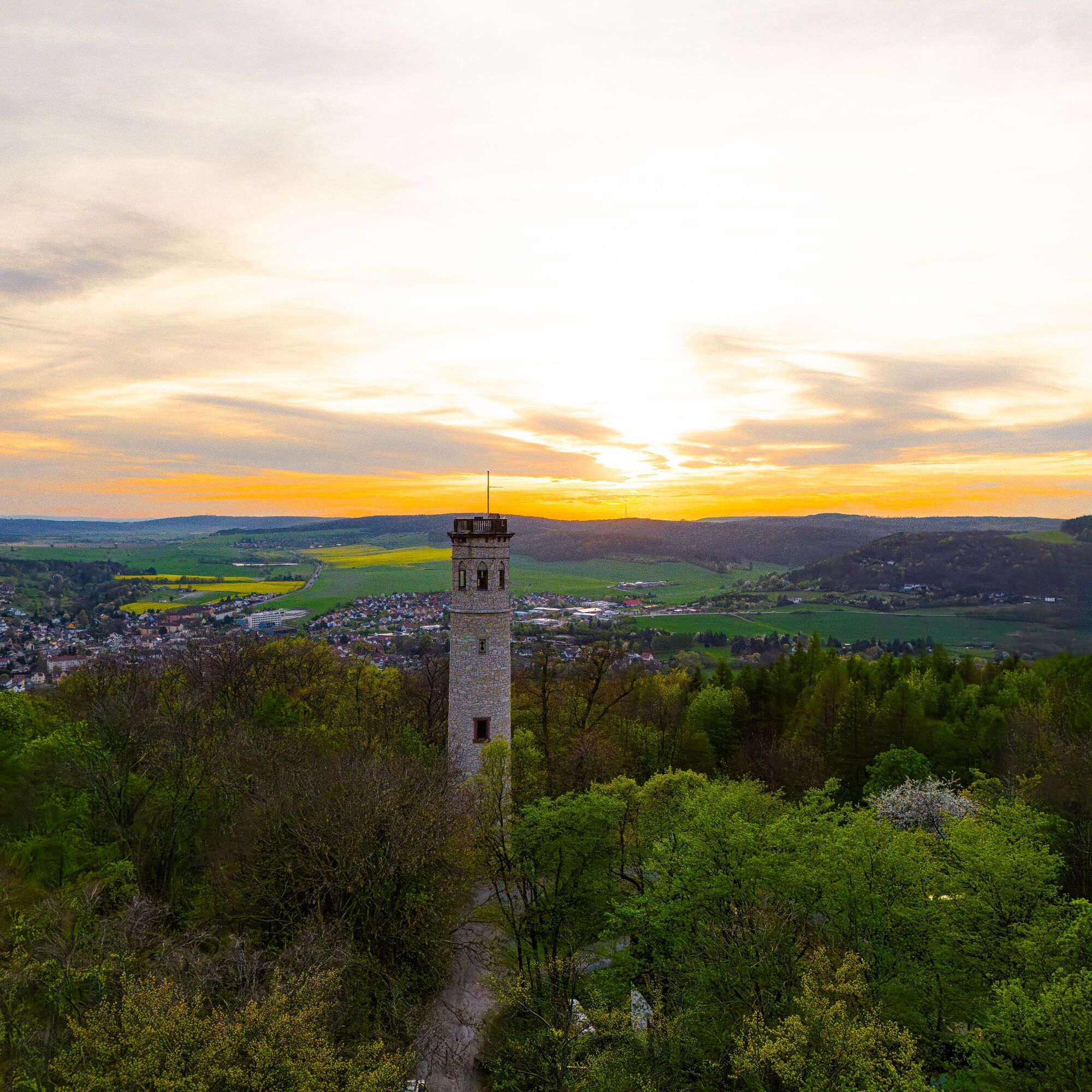
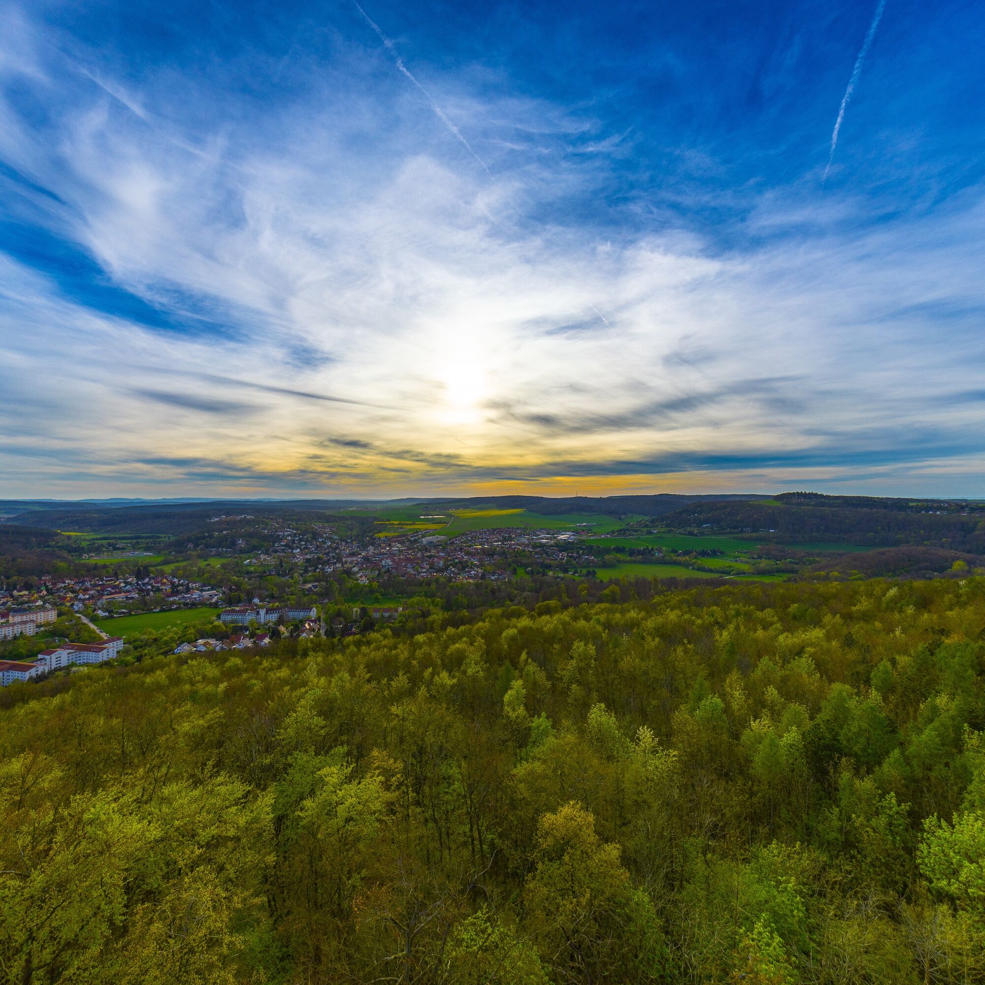

The circular route leads us through the protected landscape area "Middle Ilm Valley." Orientation is provided by the trail's marking, a silhouette of three green towers on a white background.
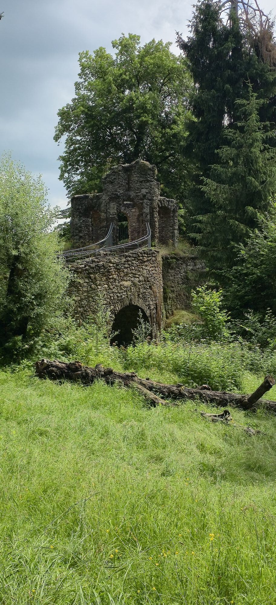
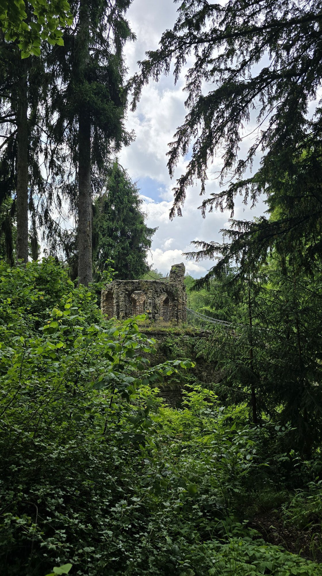
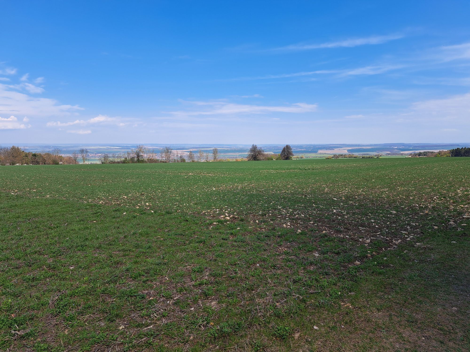
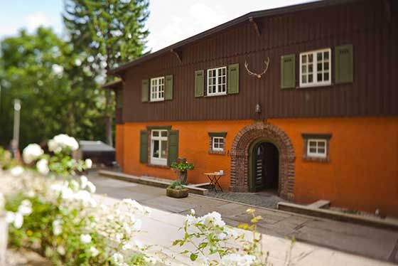
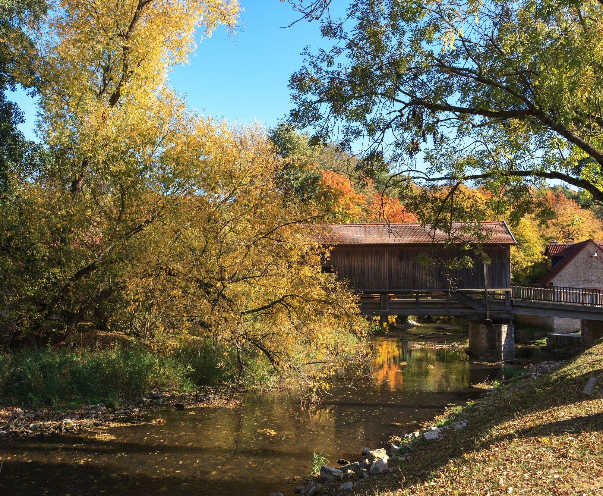
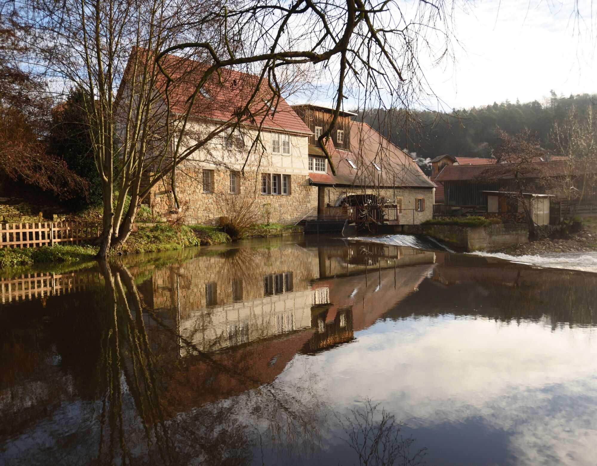
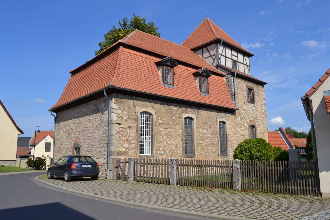
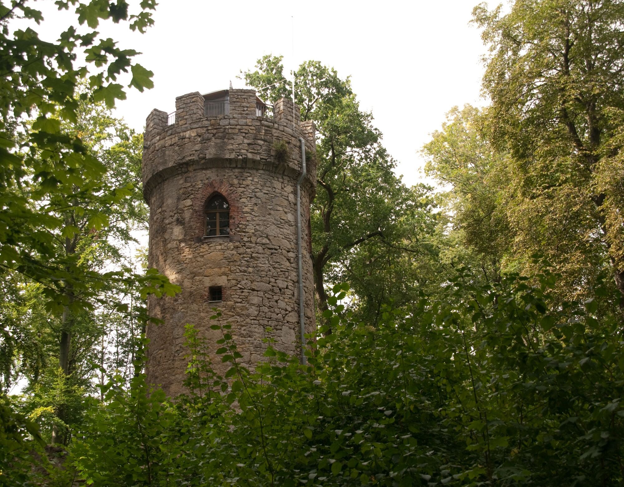
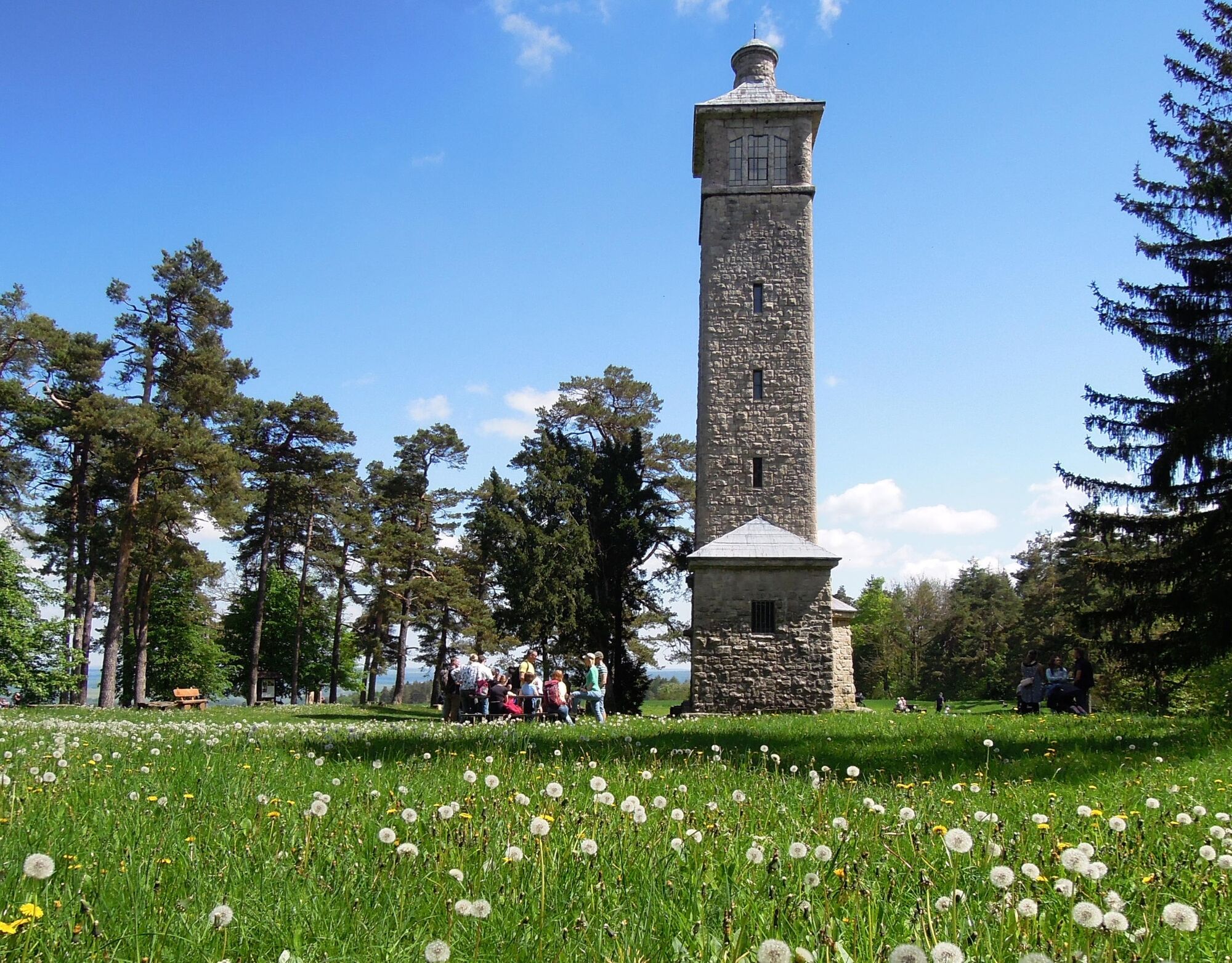
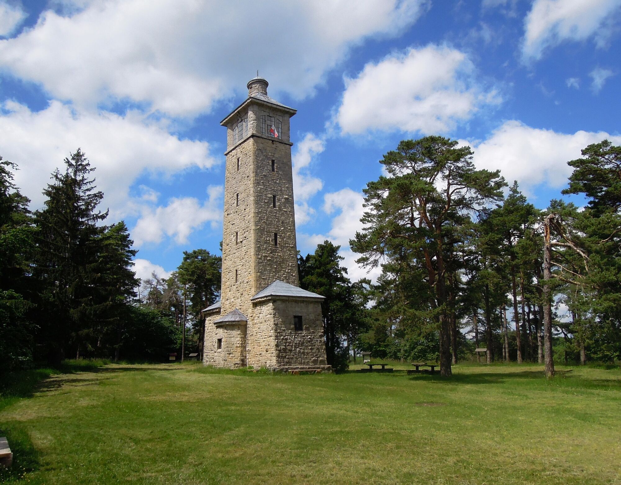
From the starting point, the parking lot of the Coudray-Haus in Bad Berka, it goes about 100 meters uphill and along a narrow asphalt road. On the right is the Paulinenhütte. We follow a forest path towards Hainturm. After 980 meters, there is a clear view of the Ilm valley and the village of Hetschburg. At the forest edge, a hiking hut offers the first resting opportunity. After about 1.2 km, you reach a memorial stone dedicated to the grand ducal huntsman Anton Möslein. 100 m further is the prehistoric and early historic Martinskirche hillfort, which is under monument protection. A bit further, there is a good view of the Ilm valley and the rock castle, a medieval structure of rock chambers. About 1 km later, the Three Towers Trail leads us out of the forest and turns towards Buchfart. Through a covered, protected wooden bridge, it goes steeply uphill to the rock castle behind the Buchfart mill (visit by request). From the viewpoint next to the castle, there is a magnificent panoramic view. We continue uphill to the Balsamine inn with a beautiful panoramic view. Following the Three Towers logo, the path goes through the forest over a paved road towards Vollersroda. We pass the village church, which the painter Lyonel Feininger used several times as a motif. The path turns right and then continues straight to the motorway underpass. After a few meters parallel to the motorway, a meadow path turns right into the Belvedere forest. There we cross the Possenbach and walk down a trail to the forest road towards Hainturm. After crossing a bridge, the Belvedere castle park near Weimar lies to the left. Continuing along the forest road, past the Pfeiffer spring with play and resting areas, the Hainturm is reached. It was built between 1828 and 1830 by order of Grand Duchess Maria Pavlovna and served as a viewing tower on the then still treeless Hainberg. From there, we go downhill through the motorway underpass towards Carolinenturm. Along old fruit trees and past a fish pond, we go to Köttendorf. At the village exit, we follow a meadow path. From the height, the first distant view of the Carolinenturm's peak can be caught. Turning left, we hike downhill to Oettern. There, we turn right over a protected single-track stone bridge towards the campsite. 400 m before the campsite, the path turns left through the Ziegental to the Caspar seat, then further left to the loop of the path. After about 1 km, we reach the Carolinenturm. The 26 m high observation tower is located on the nearly 500 m high Kotsch mountain. The tower was built in 1909 in memory of Grand Duchess Caroline of Saxe-Weimar-Eisenach. We enjoy the magnificent view, then go downhill to the Müllershausen forest inn and back to the loop of the path. From there, it is only 4 km to the Paulinenturm. A forest road goes gently downhill past the Klaus-Schuster stone to the Tafelbuche junction and from there on to the Paulinenturm. It is also 26 m high and was already built in 1884. Named after the heiress Grand Duchess Pauline of Saxe-Weimar-Eisenach, there is a playground and a beautiful panoramic view of the Thuringian land. Behind the tower, the path goes steeply downhill through the forest. Shortly before the forest edge, we turn right and hike on a beautiful forest promenade back to the starting point above the spa park of Bad Berka.
Difficulty level: medium
Áno
A4 to the Nohra junction (no. 48) or Weimar (no. 49), then continue towards Bad Berka
Bus: from Weimar with scheduled service Sömmerda/Weimar
Train: from Weimar connection to the “Ilmtal-Bahn” towards Kranichfeld
Directly at the starting point
Parking in Bad Berka
Tourist Information Bad Berka: Goetheallee 3, 99438 Bad Berka, www.bad-berka.de, www.drei-tuerme-weg.de
New: Audioguide app for Thuringian Three Towers Trail (Apple Store, Google Play Store)
Opening hours Paulinenturm: Wednesday - Sunday 11:00 - 16:00
Opening hours Hainturm: May - September, Sundays 13:00 - 16:00
Opening hours Carolinenturm: April - October, Sun & public holidays: 13:00 – 18:00

Obľúbené výlety v okolí
-
Ludwig Häfner Trail
strednáTuristika 10,4 km -
Hexenberg circular route
svetloTuristika 6,79 km -
4,0
Ludwig-Geist-Path
svetloTuristika 5,13 km -
Megamarsch Erfurt 2022
ťažkéTuristika 50,6 km -
Adventure Trail Schlossberg
svetloTematická trasa 2,50 km -
Nature Experience Trail "Bad Berka - Blankenhain"
strednáTematická trasa 7,70 km -
Professor Tegtmeier Path
svetloTuristika 4,90 km -
Bad Berka district trail - 1st stage
strednáTuristika 10,9 km -
Forester Brommer Path
svetloTuristika 8,59 km -
Bad Berka District Route - 2nd Stage
Turistika 13,2 km
Turistika a stopovanie


Nenechajte si ujsť ponuky a inšpiráciu na ďalšiu dovolenku
Vaša e-mailová adresa bol pridaný do poštového zoznamu.





