







Circular Hiking Trail_Risseberg

The circular hike leads from Dietlas to Martinroda and from there via Menzengraben back to the starting point in Dietlas.

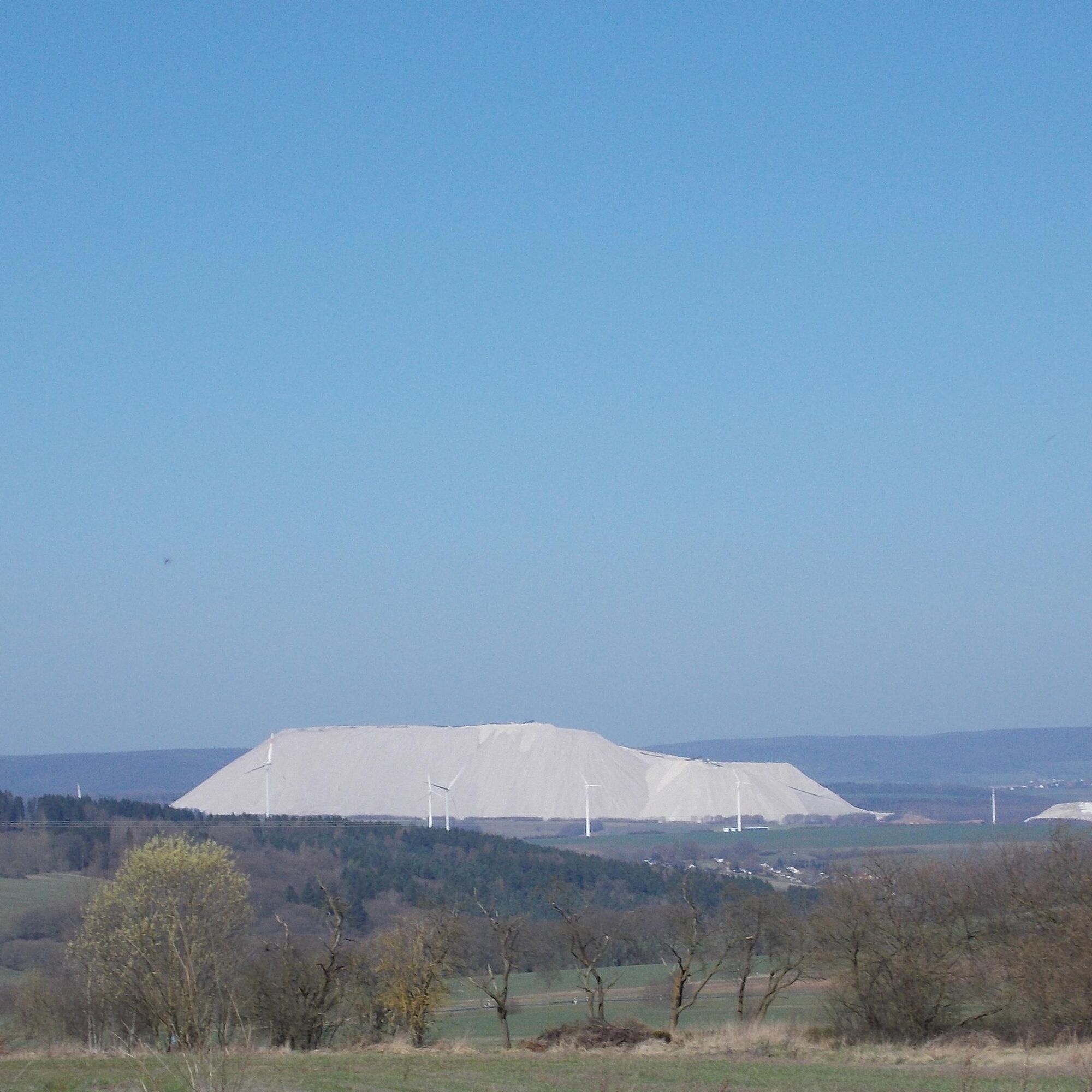
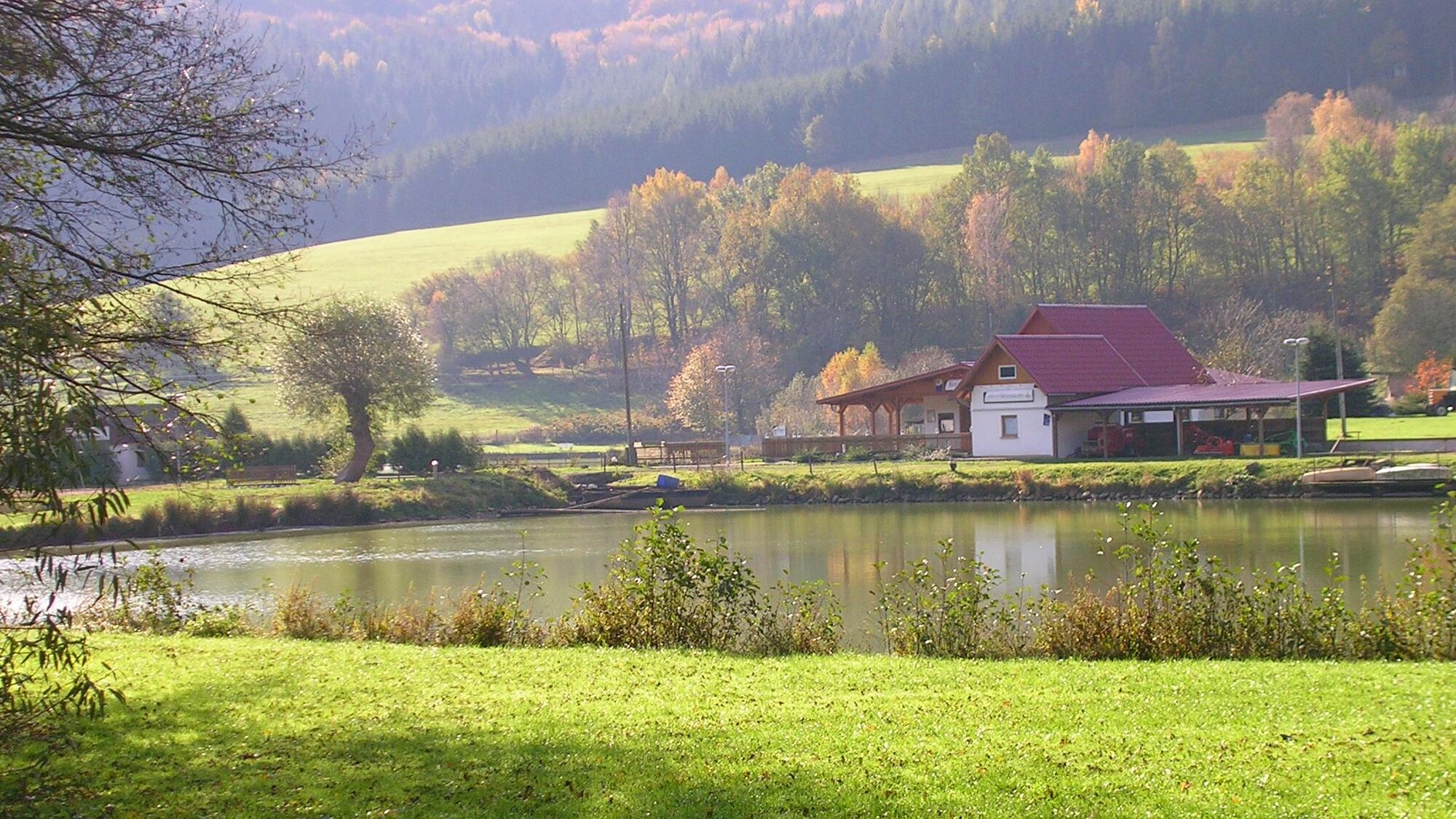
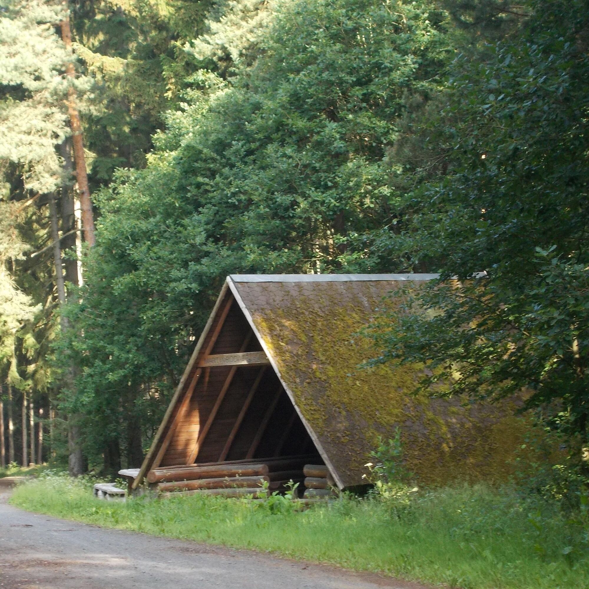
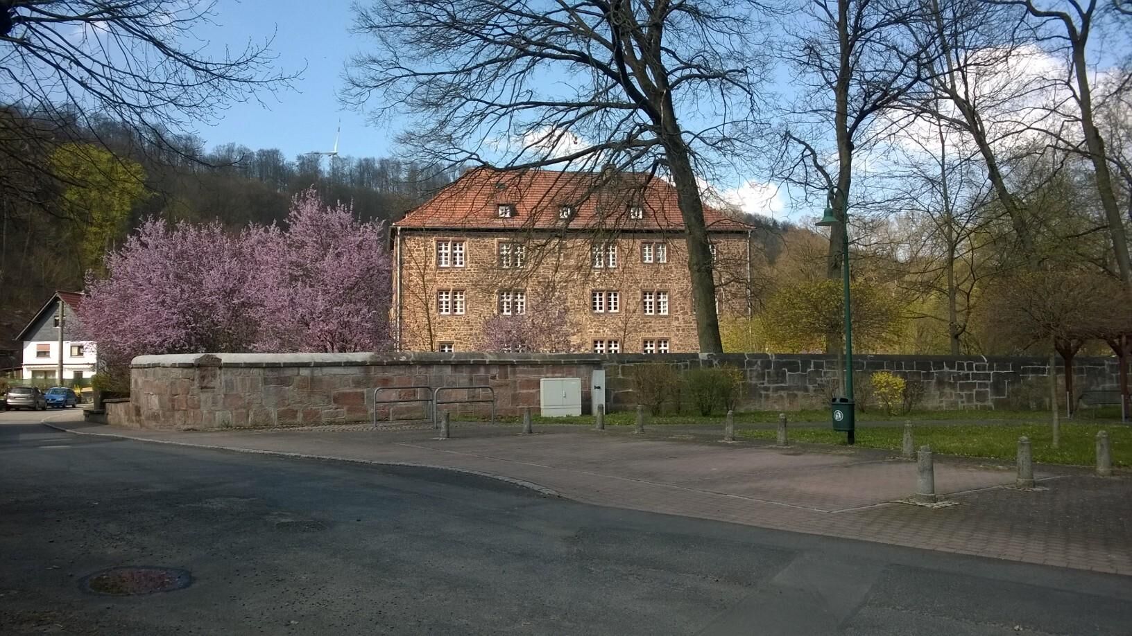

The hike begins in Dietlas at the village linden tree near the castle. From here, you go up the village street. You can follow the trail marker white field with green angle to Martinroda. At the end of the village street, keep slightly to the right and follow the Martinroda path uphill into the forest. From here begins the most strenuous ascent of the hike up to the Martinröder Höhe. After about 30 minutes of climbing, you reach the first covered seating area, inviting for the first rest and offering a good view. Upon arriving in the village, orient yourself by the trail marker white field with open green pine cone. This accompanies us to Menzengraben. When leaving Martinroda, you walk for a while along the forest edge and then inside the forest. About 1.2 km from the outskirts of Martinroda, you reach a forest junction where you turn left. From there, it is 400 m to the Martinroda hut, a rest area with a sturdy shelter. After a short rest, cross the forest junction and walk downhill (Attention: unfortunately the previously mentioned trail marker white field with open green pine cone is missing here!) in the direction of Menzengraben. When exiting the forest, keep right for about 600 m and then turn left. On the left side, you can see the old potash mine facilities and on the right there are fish breeding ponds and a restaurant where you can stop. Then you head towards the main road (L 1022). Just before the railway crossing, turn left and follow the cycle path to Dietlas. In Dietlas, take the sidewalk running parallel to the main road. Continue straight for about 900 m past a solar park. Then turn left towards the village center and return to the starting point.
Áno
Sturdy footwear
Parking is possible directly at the starting point.
Obľúbené výlety v okolí
-
4,0
Hiking - Stork Trail Bad Salzungen
svetloTematická trasa 5,89 km -
4,0
Thuringian long-distance cycle routes - 02 - Werra Valley Cycle Path - Stage 4: Bad Salzungen → Eisenach
strednáDiaľková cyklotrasa 77,0 km -
Circular hike - Frauensee - Thuringian Forest
svetloTuristika 8,90 km -
Werra Wasser Wandern 4: Bad Salzungen - Vacha
strednáKajak / Kanu 21,5 km -
Cycle path - Rosatal cycle path - Wernshausen to Weilar - Thuringian Forest
strednáCyklistika 21,8 km -
Long-distance hiking trail - Werra Castle Trail X5 - From Fehrenbach to Hann. Münden
ťažkédiaľková pešia trasa 386,9 km -
Werra Water Hiking 5: Vacha - Berka/Werra
strednáKajak / Kanu 23,5 km -
Thuringian long-distance cycle routes - 02 - Werra Valley Cycle Path
ťažkéDiaľková cyklotrasa 314,3 km -
Circular hike to Krayenburg
strednáTuristika 15,0 km -
Bike round trip - Great Viba route - Breitungen-Bad Liebenstein-Schmalkalden-Thuringian Forest
ťažkéCyklistika 64,2 km
Turistika a stopovanie


Nenechajte si ujsť ponuky a inšpiráciu na ďalšiu dovolenku
Vaša e-mailová adresa bol pridaný do poštového zoznamu.





